Charles Mix County First Circuit, E Main St, Lake Andes, SD, USA Sonnenaufgang Sonnenuntergang Zeiten
Location: USA > Süddakota > Charles Mix County > Lake Andes >
Zeitzone:
America/Chicago
Ortszeit:
2025-07-11 00:54:23
Länge:
-98.5393401
Breite:
43.1555362
Sonnenaufgang Heute:
06:05:29 AM
Sonnenuntergang Heute:
09:14:06 PM
Tageslänge heute:
15h 8m 37s
Sonnenaufgang morgen:
06:06:17 AM
Sonnenuntergang Morgen:
09:13:32 PM
Tageslänge von morgen:
15h 7m 15s
Alle Termine anzeigen
| Datum | Sonnenaufgang | Sonnenuntergang | Tageslänge |
|---|---|---|---|
| 2025-01-01 | 08:05:57 AM | 05:10:41 PM | 9h 4m 44s |
| 2025-01-02 | 08:05:56 AM | 05:11:36 PM | 9h 5m 40s |
| 2025-01-03 | 08:05:54 AM | 05:12:33 PM | 9h 6m 39s |
| 2025-01-04 | 08:05:49 AM | 05:13:32 PM | 9h 7m 43s |
| 2025-01-05 | 08:05:41 AM | 05:14:32 PM | 9h 8m 51s |
| 2025-01-06 | 08:05:31 AM | 05:15:34 PM | 9h 10m 3s |
| 2025-01-07 | 08:05:19 AM | 05:16:37 PM | 9h 11m 18s |
| 2025-01-08 | 08:05:04 AM | 05:17:41 PM | 9h 12m 37s |
| 2025-01-09 | 08:04:47 AM | 05:18:47 PM | 9h 14m 0s |
| 2025-01-10 | 08:04:27 AM | 05:19:54 PM | 9h 15m 27s |
| 2025-01-11 | 08:04:05 AM | 05:21:02 PM | 9h 16m 57s |
| 2025-01-12 | 08:03:41 AM | 05:22:12 PM | 9h 18m 31s |
| 2025-01-13 | 08:03:14 AM | 05:23:22 PM | 9h 20m 8s |
| 2025-01-14 | 08:02:45 AM | 05:24:33 PM | 9h 21m 48s |
| 2025-01-15 | 08:02:13 AM | 05:25:46 PM | 9h 23m 33s |
| 2025-01-16 | 08:01:40 AM | 05:26:59 PM | 9h 25m 19s |
| 2025-01-17 | 08:01:04 AM | 05:28:13 PM | 9h 27m 9s |
| 2025-01-18 | 08:00:26 AM | 05:29:28 PM | 9h 29m 2s |
| 2025-01-19 | 07:59:45 AM | 05:30:44 PM | 9h 30m 59s |
| 2025-01-20 | 07:59:03 AM | 05:32:00 PM | 9h 32m 57s |
| 2025-01-21 | 07:58:18 AM | 05:33:17 PM | 9h 34m 59s |
| 2025-01-22 | 07:57:31 AM | 05:34:34 PM | 9h 37m 3s |
| 2025-01-23 | 07:56:42 AM | 05:35:52 PM | 9h 39m 10s |
| 2025-01-24 | 07:55:51 AM | 05:37:11 PM | 9h 41m 20s |
| 2025-01-25 | 07:54:58 AM | 05:38:29 PM | 9h 43m 31s |
| 2025-01-26 | 07:54:03 AM | 05:39:48 PM | 9h 45m 45s |
| 2025-01-27 | 07:53:07 AM | 05:41:08 PM | 9h 48m 1s |
| 2025-01-28 | 07:52:08 AM | 05:42:28 PM | 9h 50m 20s |
| 2025-01-29 | 07:51:07 AM | 05:43:48 PM | 9h 52m 41s |
| 2025-01-30 | 07:50:05 AM | 05:45:08 PM | 9h 55m 3s |
| 2025-01-31 | 07:49:00 AM | 05:46:28 PM | 9h 57m 28s |
| 2025-02-01 | 07:47:55 AM | 05:47:49 PM | 9h 59m 54s |
| 2025-02-02 | 07:46:47 AM | 05:49:09 PM | 10h 2m 22s |
| 2025-02-03 | 07:45:37 AM | 05:50:30 PM | 10h 4m 53s |
| 2025-02-04 | 07:44:26 AM | 05:51:51 PM | 10h 7m 25s |
| 2025-02-05 | 07:43:14 AM | 05:53:11 PM | 10h 9m 57s |
| 2025-02-06 | 07:42:00 AM | 05:54:32 PM | 10h 12m 32s |
| 2025-02-07 | 07:40:44 AM | 05:55:52 PM | 10h 15m 8s |
| 2025-02-08 | 07:39:27 AM | 05:57:13 PM | 10h 17m 46s |
| 2025-02-09 | 07:38:08 AM | 05:58:33 PM | 10h 20m 25s |
| 2025-02-10 | 07:36:48 AM | 05:59:53 PM | 10h 23m 5s |
| 2025-02-11 | 07:35:27 AM | 06:01:13 PM | 10h 25m 46s |
| 2025-02-12 | 07:34:04 AM | 06:02:33 PM | 10h 28m 29s |
| 2025-02-13 | 07:32:40 AM | 06:03:53 PM | 10h 31m 13s |
| 2025-02-14 | 07:31:15 AM | 06:05:12 PM | 10h 33m 57s |
| 2025-02-15 | 07:29:49 AM | 06:06:31 PM | 10h 36m 42s |
| 2025-02-16 | 07:28:21 AM | 06:07:50 PM | 10h 39m 29s |
| 2025-02-17 | 07:26:52 AM | 06:09:09 PM | 10h 42m 17s |
| 2025-02-18 | 07:25:22 AM | 06:10:27 PM | 10h 45m 5s |
| 2025-02-19 | 07:23:52 AM | 06:11:46 PM | 10h 47m 54s |
| 2025-02-20 | 07:22:20 AM | 06:13:04 PM | 10h 50m 44s |
| 2025-02-21 | 07:20:47 AM | 06:14:21 PM | 10h 53m 34s |
| 2025-02-22 | 07:19:13 AM | 06:15:39 PM | 10h 56m 26s |
| 2025-02-23 | 07:17:38 AM | 06:16:56 PM | 10h 59m 18s |
| 2025-02-24 | 07:16:02 AM | 06:18:13 PM | 11h 2m 11s |
| 2025-02-25 | 07:14:26 AM | 06:19:29 PM | 11h 5m 3s |
| 2025-02-26 | 07:12:49 AM | 06:20:45 PM | 11h 7m 56s |
| 2025-02-27 | 07:11:10 AM | 06:22:01 PM | 11h 10m 51s |
| 2025-02-28 | 07:09:32 AM | 06:23:17 PM | 11h 13m 45s |
| 2025-03-01 | 07:07:52 AM | 06:24:32 PM | 11h 16m 40s |
| 2025-03-02 | 07:06:12 AM | 06:25:47 PM | 11h 19m 35s |
| 2025-03-03 | 07:04:31 AM | 06:27:02 PM | 11h 22m 31s |
| 2025-03-04 | 07:02:50 AM | 06:28:17 PM | 11h 25m 27s |
| 2025-03-05 | 07:01:08 AM | 06:29:31 PM | 11h 28m 23s |
| 2025-03-06 | 06:59:25 AM | 06:30:45 PM | 11h 31m 20s |
| 2025-03-07 | 06:57:42 AM | 06:31:59 PM | 11h 34m 17s |
| 2025-03-08 | 06:55:58 AM | 06:33:12 PM | 11h 37m 14s |
| 2025-03-09 | 07:54:19 AM | 07:34:22 PM | 11h 40m 3s |
| 2025-03-10 | 07:52:34 AM | 07:35:35 PM | 11h 43m 1s |
| 2025-03-11 | 07:50:50 AM | 07:36:48 PM | 11h 45m 58s |
| 2025-03-12 | 07:49:05 AM | 07:38:01 PM | 11h 48m 56s |
| 2025-03-13 | 07:47:19 AM | 07:39:13 PM | 11h 51m 54s |
| 2025-03-14 | 07:45:33 AM | 07:40:25 PM | 11h 54m 52s |
| 2025-03-15 | 07:43:47 AM | 07:41:37 PM | 11h 57m 50s |
| 2025-03-16 | 07:42:01 AM | 07:42:49 PM | 12h 0m 48s |
| 2025-03-17 | 07:40:15 AM | 07:44:00 PM | 12h 3m 45s |
| 2025-03-18 | 07:38:28 AM | 07:45:12 PM | 12h 6m 44s |
| 2025-03-19 | 07:36:42 AM | 07:46:23 PM | 12h 9m 41s |
| 2025-03-20 | 07:34:55 AM | 07:47:34 PM | 12h 12m 39s |
| 2025-03-21 | 07:33:08 AM | 07:48:45 PM | 12h 15m 37s |
| 2025-03-22 | 07:31:22 AM | 07:49:56 PM | 12h 18m 34s |
| 2025-03-23 | 07:29:35 AM | 07:51:06 PM | 12h 21m 31s |
| 2025-03-24 | 07:27:48 AM | 07:52:17 PM | 12h 24m 29s |
| 2025-03-25 | 07:26:01 AM | 07:53:28 PM | 12h 27m 27s |
| 2025-03-26 | 07:24:15 AM | 07:54:38 PM | 12h 30m 23s |
| 2025-03-27 | 07:22:28 AM | 07:55:48 PM | 12h 33m 20s |
| 2025-03-28 | 07:20:42 AM | 07:56:59 PM | 12h 36m 17s |
| 2025-03-29 | 07:18:55 AM | 07:58:09 PM | 12h 39m 14s |
| 2025-03-30 | 07:17:09 AM | 07:59:19 PM | 12h 42m 10s |
| 2025-03-31 | 07:15:24 AM | 08:00:29 PM | 12h 45m 5s |
| 2025-04-01 | 07:13:38 AM | 08:01:39 PM | 12h 48m 1s |
| 2025-04-02 | 07:11:53 AM | 08:02:49 PM | 12h 50m 56s |
| 2025-04-03 | 07:10:08 AM | 08:03:59 PM | 12h 53m 51s |
| 2025-04-04 | 07:08:24 AM | 08:05:09 PM | 12h 56m 45s |
| 2025-04-05 | 07:06:40 AM | 08:06:19 PM | 12h 59m 39s |
| 2025-04-06 | 07:04:56 AM | 08:07:29 PM | 13h 2m 33s |
| 2025-04-07 | 07:03:13 AM | 08:08:39 PM | 13h 5m 26s |
| 2025-04-08 | 07:01:30 AM | 08:09:49 PM | 13h 8m 19s |
| 2025-04-09 | 06:59:48 AM | 08:10:59 PM | 13h 11m 11s |
| 2025-04-10 | 06:58:07 AM | 08:12:09 PM | 13h 14m 2s |
| 2025-04-11 | 06:56:26 AM | 08:13:19 PM | 13h 16m 53s |
| 2025-04-12 | 06:54:45 AM | 08:14:29 PM | 13h 19m 44s |
| 2025-04-13 | 06:53:06 AM | 08:15:39 PM | 13h 22m 33s |
| 2025-04-14 | 06:51:27 AM | 08:16:49 PM | 13h 25m 22s |
| 2025-04-15 | 06:49:48 AM | 08:17:59 PM | 13h 28m 11s |
| 2025-04-16 | 06:48:11 AM | 08:19:09 PM | 13h 30m 58s |
| 2025-04-17 | 06:46:34 AM | 08:20:19 PM | 13h 33m 45s |
| 2025-04-18 | 06:44:58 AM | 08:21:29 PM | 13h 36m 31s |
| 2025-04-19 | 06:43:23 AM | 08:22:39 PM | 13h 39m 16s |
| 2025-04-20 | 06:41:49 AM | 08:23:49 PM | 13h 42m 0s |
| 2025-04-21 | 06:40:16 AM | 08:24:59 PM | 13h 44m 43s |
| 2025-04-22 | 06:38:43 AM | 08:26:09 PM | 13h 47m 26s |
| 2025-04-23 | 06:37:12 AM | 08:27:18 PM | 13h 50m 6s |
| 2025-04-24 | 06:35:41 AM | 08:28:28 PM | 13h 52m 47s |
| 2025-04-25 | 06:34:12 AM | 08:29:38 PM | 13h 55m 26s |
| 2025-04-26 | 06:32:44 AM | 08:30:47 PM | 13h 58m 3s |
| 2025-04-27 | 06:31:17 AM | 08:31:57 PM | 14h 0m 40s |
| 2025-04-28 | 06:29:51 AM | 08:33:06 PM | 14h 3m 15s |
| 2025-04-29 | 06:28:26 AM | 08:34:15 PM | 14h 5m 49s |
| 2025-04-30 | 06:27:03 AM | 08:35:25 PM | 14h 8m 22s |
| 2025-05-01 | 06:25:40 AM | 08:36:33 PM | 14h 10m 53s |
| 2025-05-02 | 06:24:19 AM | 08:37:42 PM | 14h 13m 23s |
| 2025-05-03 | 06:23:00 AM | 08:38:51 PM | 14h 15m 51s |
| 2025-05-04 | 06:21:41 AM | 08:39:59 PM | 14h 18m 18s |
| 2025-05-05 | 06:20:25 AM | 08:41:07 PM | 14h 20m 42s |
| 2025-05-06 | 06:19:09 AM | 08:42:14 PM | 14h 23m 5s |
| 2025-05-07 | 06:17:55 AM | 08:43:22 PM | 14h 25m 27s |
| 2025-05-08 | 06:16:43 AM | 08:44:29 PM | 14h 27m 46s |
| 2025-05-09 | 06:15:32 AM | 08:45:35 PM | 14h 30m 3s |
| 2025-05-10 | 06:14:22 AM | 08:46:42 PM | 14h 32m 20s |
| 2025-05-11 | 06:13:14 AM | 08:47:47 PM | 14h 34m 33s |
| 2025-05-12 | 06:12:08 AM | 08:48:53 PM | 14h 36m 45s |
| 2025-05-13 | 06:11:04 AM | 08:49:57 PM | 14h 38m 53s |
| 2025-05-14 | 06:10:01 AM | 08:51:01 PM | 14h 41m 0s |
| 2025-05-15 | 06:09:00 AM | 08:52:05 PM | 14h 43m 5s |
| 2025-05-16 | 06:08:00 AM | 08:53:08 PM | 14h 45m 8s |
| 2025-05-17 | 06:07:03 AM | 08:54:10 PM | 14h 47m 7s |
| 2025-05-18 | 06:06:07 AM | 08:55:12 PM | 14h 49m 5s |
| 2025-05-19 | 06:05:13 AM | 08:56:13 PM | 14h 51m 0s |
| 2025-05-20 | 06:04:21 AM | 08:57:13 PM | 14h 52m 52s |
| 2025-05-21 | 06:03:31 AM | 08:58:12 PM | 14h 54m 41s |
| 2025-05-22 | 06:02:43 AM | 08:59:10 PM | 14h 56m 27s |
| 2025-05-23 | 06:01:56 AM | 09:00:07 PM | 14h 58m 11s |
| 2025-05-24 | 06:01:12 AM | 09:01:04 PM | 14h 59m 52s |
| 2025-05-25 | 06:00:30 AM | 09:01:59 PM | 15h 1m 29s |
| 2025-05-26 | 05:59:49 AM | 09:02:53 PM | 15h 3m 4s |
| 2025-05-27 | 05:59:11 AM | 09:03:46 PM | 15h 4m 35s |
| 2025-05-28 | 05:58:35 AM | 09:04:38 PM | 15h 6m 3s |
| 2025-05-29 | 05:58:01 AM | 09:05:29 PM | 15h 7m 28s |
| 2025-05-30 | 05:57:29 AM | 09:06:19 PM | 15h 8m 50s |
| 2025-05-31 | 05:56:59 AM | 09:07:07 PM | 15h 10m 8s |
| 2025-06-01 | 05:56:31 AM | 09:07:54 PM | 15h 11m 23s |
| 2025-06-02 | 05:56:05 AM | 09:08:39 PM | 15h 12m 34s |
| 2025-06-03 | 05:55:42 AM | 09:09:23 PM | 15h 13m 41s |
| 2025-06-04 | 05:55:21 AM | 09:10:06 PM | 15h 14m 45s |
| 2025-06-05 | 05:55:01 AM | 09:10:47 PM | 15h 15m 46s |
| 2025-06-06 | 05:54:44 AM | 09:11:26 PM | 15h 16m 42s |
| 2025-06-07 | 05:54:30 AM | 09:12:04 PM | 15h 17m 34s |
| 2025-06-08 | 05:54:17 AM | 09:12:40 PM | 15h 18m 23s |
| 2025-06-09 | 05:54:06 AM | 09:13:15 PM | 15h 19m 9s |
| 2025-06-10 | 05:53:58 AM | 09:13:47 PM | 15h 19m 49s |
| 2025-06-11 | 05:53:52 AM | 09:14:18 PM | 15h 20m 26s |
| 2025-06-12 | 05:53:48 AM | 09:14:47 PM | 15h 20m 59s |
| 2025-06-13 | 05:53:46 AM | 09:15:15 PM | 15h 21m 29s |
| 2025-06-14 | 05:53:46 AM | 09:15:40 PM | 15h 21m 54s |
| 2025-06-15 | 05:53:49 AM | 09:16:03 PM | 15h 22m 14s |
| 2025-06-16 | 05:53:53 AM | 09:16:25 PM | 15h 22m 32s |
| 2025-06-17 | 05:54:00 AM | 09:16:44 PM | 15h 22m 44s |
| 2025-06-18 | 05:54:09 AM | 09:17:02 PM | 15h 22m 53s |
| 2025-06-19 | 05:54:20 AM | 09:17:17 PM | 15h 22m 57s |
| 2025-06-20 | 05:54:32 AM | 09:17:30 PM | 15h 22m 58s |
| 2025-06-21 | 05:54:47 AM | 09:17:42 PM | 15h 22m 55s |
| 2025-06-22 | 05:55:04 AM | 09:17:51 PM | 15h 22m 47s |
| 2025-06-23 | 05:55:23 AM | 09:17:58 PM | 15h 22m 35s |
| 2025-06-24 | 05:55:44 AM | 09:18:03 PM | 15h 22m 19s |
| 2025-06-25 | 05:56:06 AM | 09:18:05 PM | 15h 21m 59s |
| 2025-06-26 | 05:56:31 AM | 09:18:06 PM | 15h 21m 35s |
| 2025-06-27 | 05:56:57 AM | 09:18:04 PM | 15h 21m 7s |
| 2025-06-28 | 05:57:25 AM | 09:18:00 PM | 15h 20m 35s |
| 2025-06-29 | 05:57:55 AM | 09:17:54 PM | 15h 19m 59s |
| 2025-06-30 | 05:58:27 AM | 09:17:45 PM | 15h 19m 18s |
| 2025-07-01 | 05:59:00 AM | 09:17:35 PM | 15h 18m 35s |
| 2025-07-02 | 05:59:35 AM | 09:17:22 PM | 15h 17m 47s |
| 2025-07-03 | 06:00:11 AM | 09:17:07 PM | 15h 16m 56s |
| 2025-07-04 | 06:00:49 AM | 09:16:50 PM | 15h 16m 1s |
| 2025-07-05 | 06:01:29 AM | 09:16:30 PM | 15h 15m 1s |
| 2025-07-06 | 06:02:10 AM | 09:16:09 PM | 15h 13m 59s |
| 2025-07-07 | 06:02:52 AM | 09:15:45 PM | 15h 12m 53s |
| 2025-07-08 | 06:03:36 AM | 09:15:19 PM | 15h 11m 43s |
| 2025-07-09 | 06:04:21 AM | 09:14:51 PM | 15h 10m 30s |
| 2025-07-10 | 06:05:07 AM | 09:14:20 PM | 15h 9m 13s |
| 2025-07-11 | 06:05:55 AM | 09:13:48 PM | 15h 7m 53s |
| 2025-07-12 | 06:06:44 AM | 09:13:13 PM | 15h 6m 29s |
| 2025-07-13 | 06:07:34 AM | 09:12:36 PM | 15h 5m 2s |
| 2025-07-14 | 06:08:25 AM | 09:11:58 PM | 15h 3m 33s |
| 2025-07-15 | 06:09:17 AM | 09:11:17 PM | 15h 2m 0s |
| 2025-07-16 | 06:10:10 AM | 09:10:34 PM | 15h 0m 24s |
| 2025-07-17 | 06:11:04 AM | 09:09:49 PM | 14h 58m 45s |
| 2025-07-18 | 06:11:59 AM | 09:09:02 PM | 14h 57m 3s |
| 2025-07-19 | 06:12:55 AM | 09:08:13 PM | 14h 55m 18s |
| 2025-07-20 | 06:13:52 AM | 09:07:22 PM | 14h 53m 30s |
| 2025-07-21 | 06:14:49 AM | 09:06:29 PM | 14h 51m 40s |
| 2025-07-22 | 06:15:47 AM | 09:05:35 PM | 14h 49m 48s |
| 2025-07-23 | 06:16:46 AM | 09:04:38 PM | 14h 47m 52s |
| 2025-07-24 | 06:17:46 AM | 09:03:40 PM | 14h 45m 54s |
| 2025-07-25 | 06:18:46 AM | 09:02:39 PM | 14h 43m 53s |
| 2025-07-26 | 06:19:47 AM | 09:01:37 PM | 14h 41m 50s |
| 2025-07-27 | 06:20:48 AM | 09:00:34 PM | 14h 39m 46s |
| 2025-07-28 | 06:21:49 AM | 08:59:28 PM | 14h 37m 39s |
| 2025-07-29 | 06:22:52 AM | 08:58:21 PM | 14h 35m 29s |
| 2025-07-30 | 06:23:54 AM | 08:57:12 PM | 14h 33m 18s |
| 2025-07-31 | 06:24:57 AM | 08:56:02 PM | 14h 31m 5s |
| 2025-08-01 | 06:26:01 AM | 08:54:50 PM | 14h 28m 49s |
| 2025-08-02 | 06:27:04 AM | 08:53:37 PM | 14h 26m 33s |
| 2025-08-03 | 06:28:08 AM | 08:52:22 PM | 14h 24m 14s |
| 2025-08-04 | 06:29:13 AM | 08:51:05 PM | 14h 21m 52s |
| 2025-08-05 | 06:30:17 AM | 08:49:47 PM | 14h 19m 30s |
| 2025-08-06 | 06:31:22 AM | 08:48:28 PM | 14h 17m 6s |
| 2025-08-07 | 06:32:27 AM | 08:47:07 PM | 14h 14m 40s |
| 2025-08-08 | 06:33:32 AM | 08:45:45 PM | 14h 12m 13s |
| 2025-08-09 | 06:34:37 AM | 08:44:22 PM | 14h 9m 45s |
| 2025-08-10 | 06:35:43 AM | 08:42:57 PM | 14h 7m 14s |
| 2025-08-11 | 06:36:48 AM | 08:41:31 PM | 14h 4m 43s |
| 2025-08-12 | 06:37:54 AM | 08:40:04 PM | 14h 2m 10s |
| 2025-08-13 | 06:39:00 AM | 08:38:36 PM | 13h 59m 36s |
| 2025-08-14 | 06:40:06 AM | 08:37:07 PM | 13h 57m 1s |
| 2025-08-15 | 06:41:11 AM | 08:35:36 PM | 13h 54m 25s |
| 2025-08-16 | 06:42:17 AM | 08:34:05 PM | 13h 51m 48s |
| 2025-08-17 | 06:43:23 AM | 08:32:32 PM | 13h 49m 9s |
| 2025-08-18 | 06:44:29 AM | 08:30:59 PM | 13h 46m 30s |
| 2025-08-19 | 06:45:35 AM | 08:29:24 PM | 13h 43m 49s |
| 2025-08-20 | 06:46:41 AM | 08:27:49 PM | 13h 41m 8s |
| 2025-08-21 | 06:47:47 AM | 08:26:12 PM | 13h 38m 25s |
| 2025-08-22 | 06:48:53 AM | 08:24:35 PM | 13h 35m 42s |
| 2025-08-23 | 06:49:58 AM | 08:22:57 PM | 13h 32m 59s |
| 2025-08-24 | 06:51:04 AM | 08:21:18 PM | 13h 30m 14s |
| 2025-08-25 | 06:52:10 AM | 08:19:38 PM | 13h 27m 28s |
| 2025-08-26 | 06:53:16 AM | 08:17:58 PM | 13h 24m 42s |
| 2025-08-27 | 06:54:21 AM | 08:16:17 PM | 13h 21m 56s |
| 2025-08-28 | 06:55:27 AM | 08:14:35 PM | 13h 19m 8s |
| 2025-08-29 | 06:56:33 AM | 08:12:53 PM | 13h 16m 20s |
| 2025-08-30 | 06:57:38 AM | 08:11:10 PM | 13h 13m 32s |
| 2025-08-31 | 06:58:44 AM | 08:09:26 PM | 13h 10m 42s |
| 2025-09-01 | 06:59:49 AM | 08:07:42 PM | 13h 7m 53s |
| 2025-09-02 | 07:00:55 AM | 08:05:57 PM | 13h 5m 2s |
| 2025-09-03 | 07:02:00 AM | 08:04:12 PM | 13h 2m 12s |
| 2025-09-04 | 07:03:06 AM | 08:02:26 PM | 12h 59m 20s |
| 2025-09-05 | 07:04:11 AM | 08:00:40 PM | 12h 56m 29s |
| 2025-09-06 | 07:05:17 AM | 07:58:54 PM | 12h 53m 37s |
| 2025-09-07 | 07:06:22 AM | 07:57:07 PM | 12h 50m 45s |
| 2025-09-08 | 07:07:28 AM | 07:55:20 PM | 12h 47m 52s |
| 2025-09-09 | 07:08:33 AM | 07:53:33 PM | 12h 45m 0s |
| 2025-09-10 | 07:09:38 AM | 07:51:45 PM | 12h 42m 7s |
| 2025-09-11 | 07:10:44 AM | 07:49:57 PM | 12h 39m 13s |
| 2025-09-12 | 07:11:50 AM | 07:48:09 PM | 12h 36m 19s |
| 2025-09-13 | 07:12:55 AM | 07:46:20 PM | 12h 33m 25s |
| 2025-09-14 | 07:14:01 AM | 07:44:32 PM | 12h 30m 31s |
| 2025-09-15 | 07:15:07 AM | 07:42:43 PM | 12h 27m 36s |
| 2025-09-16 | 07:16:12 AM | 07:40:55 PM | 12h 24m 43s |
| 2025-09-17 | 07:17:18 AM | 07:39:06 PM | 12h 21m 48s |
| 2025-09-18 | 07:18:24 AM | 07:37:17 PM | 12h 18m 53s |
| 2025-09-19 | 07:19:30 AM | 07:35:28 PM | 12h 15m 58s |
| 2025-09-20 | 07:20:37 AM | 07:33:39 PM | 12h 13m 2s |
| 2025-09-21 | 07:21:43 AM | 07:31:51 PM | 12h 10m 8s |
| 2025-09-22 | 07:22:49 AM | 07:30:02 PM | 12h 7m 13s |
| 2025-09-23 | 07:23:56 AM | 07:28:13 PM | 12h 4m 17s |
| 2025-09-24 | 07:25:03 AM | 07:26:25 PM | 12h 1m 22s |
| 2025-09-25 | 07:26:10 AM | 07:24:37 PM | 11h 58m 27s |
| 2025-09-26 | 07:27:17 AM | 07:22:49 PM | 11h 55m 32s |
| 2025-09-27 | 07:28:24 AM | 07:21:01 PM | 11h 52m 37s |
| 2025-09-28 | 07:29:32 AM | 07:19:14 PM | 11h 49m 42s |
| 2025-09-29 | 07:30:40 AM | 07:17:27 PM | 11h 46m 47s |
| 2025-09-30 | 07:31:48 AM | 07:15:40 PM | 11h 43m 52s |
| 2025-10-01 | 07:32:56 AM | 07:13:53 PM | 11h 40m 57s |
| 2025-10-02 | 07:34:05 AM | 07:12:07 PM | 11h 38m 2s |
| 2025-10-03 | 07:35:13 AM | 07:10:21 PM | 11h 35m 8s |
| 2025-10-04 | 07:36:22 AM | 07:08:36 PM | 11h 32m 14s |
| 2025-10-05 | 07:37:32 AM | 07:06:51 PM | 11h 29m 19s |
| 2025-10-06 | 07:38:41 AM | 07:05:07 PM | 11h 26m 26s |
| 2025-10-07 | 07:39:51 AM | 07:03:24 PM | 11h 23m 33s |
| 2025-10-08 | 07:41:01 AM | 07:01:41 PM | 11h 20m 40s |
| 2025-10-09 | 07:42:11 AM | 06:59:58 PM | 11h 17m 47s |
| 2025-10-10 | 07:43:22 AM | 06:58:16 PM | 11h 14m 54s |
| 2025-10-11 | 07:44:33 AM | 06:56:35 PM | 11h 12m 2s |
| 2025-10-12 | 07:45:44 AM | 06:54:55 PM | 11h 9m 11s |
| 2025-10-13 | 07:46:56 AM | 06:53:15 PM | 11h 6m 19s |
| 2025-10-14 | 07:48:08 AM | 06:51:36 PM | 11h 3m 28s |
| 2025-10-15 | 07:49:20 AM | 06:49:58 PM | 11h 0m 38s |
| 2025-10-16 | 07:50:33 AM | 06:48:21 PM | 10h 57m 48s |
| 2025-10-17 | 07:51:46 AM | 06:46:45 PM | 10h 54m 59s |
| 2025-10-18 | 07:52:59 AM | 06:45:09 PM | 10h 52m 10s |
| 2025-10-19 | 07:54:13 AM | 06:43:35 PM | 10h 49m 22s |
| 2025-10-20 | 07:55:26 AM | 06:42:02 PM | 10h 46m 36s |
| 2025-10-21 | 07:56:41 AM | 06:40:29 PM | 10h 43m 48s |
| 2025-10-22 | 07:57:55 AM | 06:38:58 PM | 10h 41m 3s |
| 2025-10-23 | 07:59:10 AM | 06:37:28 PM | 10h 38m 18s |
| 2025-10-24 | 08:00:25 AM | 06:35:59 PM | 10h 35m 34s |
| 2025-10-25 | 08:01:40 AM | 06:34:31 PM | 10h 32m 51s |
| 2025-10-26 | 08:02:55 AM | 06:33:04 PM | 10h 30m 9s |
| 2025-10-27 | 08:04:11 AM | 06:31:39 PM | 10h 27m 28s |
| 2025-10-28 | 08:05:27 AM | 06:30:15 PM | 10h 24m 48s |
| 2025-10-29 | 08:06:43 AM | 06:28:52 PM | 10h 22m 9s |
| 2025-10-30 | 08:08:00 AM | 06:27:31 PM | 10h 19m 31s |
| 2025-10-31 | 08:09:16 AM | 06:26:11 PM | 10h 16m 55s |
| 2025-11-01 | 08:10:33 AM | 06:24:52 PM | 10h 14m 19s |
| 2025-11-02 | 07:11:53 AM | 05:23:32 PM | 10h 11m 39s |
| 2025-11-03 | 07:13:10 AM | 05:22:16 PM | 10h 9m 6s |
| 2025-11-04 | 07:14:27 AM | 05:21:02 PM | 10h 6m 35s |
| 2025-11-05 | 07:15:44 AM | 05:19:50 PM | 10h 4m 6s |
| 2025-11-06 | 07:17:02 AM | 05:18:39 PM | 10h 1m 37s |
| 2025-11-07 | 07:18:19 AM | 05:17:30 PM | 9h 59m 11s |
| 2025-11-08 | 07:19:36 AM | 05:16:23 PM | 9h 56m 47s |
| 2025-11-09 | 07:20:53 AM | 05:15:18 PM | 9h 54m 25s |
| 2025-11-10 | 07:22:10 AM | 05:14:14 PM | 9h 52m 4s |
| 2025-11-11 | 07:23:27 AM | 05:13:12 PM | 9h 49m 45s |
| 2025-11-12 | 07:24:43 AM | 05:12:12 PM | 9h 47m 29s |
| 2025-11-13 | 07:26:00 AM | 05:11:14 PM | 9h 45m 14s |
| 2025-11-14 | 07:27:16 AM | 05:10:18 PM | 9h 43m 2s |
| 2025-11-15 | 07:28:32 AM | 05:09:24 PM | 9h 40m 52s |
| 2025-11-16 | 07:29:48 AM | 05:08:32 PM | 9h 38m 44s |
| 2025-11-17 | 07:31:03 AM | 05:07:41 PM | 9h 36m 38s |
| 2025-11-18 | 07:32:17 AM | 05:06:53 PM | 9h 34m 36s |
| 2025-11-19 | 07:33:32 AM | 05:06:08 PM | 9h 32m 36s |
| 2025-11-20 | 07:34:45 AM | 05:05:24 PM | 9h 30m 39s |
| 2025-11-21 | 07:35:58 AM | 05:04:42 PM | 9h 28m 44s |
| 2025-11-22 | 07:37:11 AM | 05:04:03 PM | 9h 26m 52s |
| 2025-11-23 | 07:38:23 AM | 05:03:26 PM | 9h 25m 3s |
| 2025-11-24 | 07:39:34 AM | 05:02:51 PM | 9h 23m 17s |
| 2025-11-25 | 07:40:44 AM | 05:02:19 PM | 9h 21m 35s |
| 2025-11-26 | 07:41:53 AM | 05:01:49 PM | 9h 19m 56s |
| 2025-11-27 | 07:43:01 AM | 05:01:21 PM | 9h 18m 20s |
| 2025-11-28 | 07:44:09 AM | 05:00:55 PM | 9h 16m 46s |
| 2025-11-29 | 07:45:15 AM | 05:00:32 PM | 9h 15m 17s |
| 2025-11-30 | 07:46:20 AM | 05:00:12 PM | 9h 13m 52s |
| 2025-12-01 | 07:47:25 AM | 04:59:54 PM | 9h 12m 29s |
| 2025-12-02 | 07:48:27 AM | 04:59:38 PM | 9h 11m 11s |
| 2025-12-03 | 07:49:29 AM | 04:59:25 PM | 9h 9m 56s |
| 2025-12-04 | 07:50:29 AM | 04:59:14 PM | 9h 8m 45s |
| 2025-12-05 | 07:51:28 AM | 04:59:06 PM | 9h 7m 38s |
| 2025-12-06 | 07:52:25 AM | 04:59:00 PM | 9h 6m 35s |
| 2025-12-07 | 07:53:21 AM | 04:58:57 PM | 9h 5m 36s |
| 2025-12-08 | 07:54:15 AM | 04:58:56 PM | 9h 4m 41s |
| 2025-12-09 | 07:55:08 AM | 04:58:58 PM | 9h 3m 50s |
| 2025-12-10 | 07:55:59 AM | 04:59:02 PM | 9h 3m 3s |
| 2025-12-11 | 07:56:48 AM | 04:59:09 PM | 9h 2m 21s |
| 2025-12-12 | 07:57:35 AM | 04:59:18 PM | 9h 1m 43s |
| 2025-12-13 | 07:58:21 AM | 04:59:30 PM | 9h 1m 9s |
| 2025-12-14 | 07:59:04 AM | 04:59:44 PM | 9h 0m 40s |
| 2025-12-15 | 07:59:46 AM | 05:00:00 PM | 9h 0m 14s |
| 2025-12-16 | 08:00:25 AM | 05:00:19 PM | 8h 59m 54s |
| 2025-12-17 | 08:01:03 AM | 05:00:41 PM | 8h 59m 38s |
| 2025-12-18 | 08:01:38 AM | 05:01:04 PM | 8h 59m 26s |
| 2025-12-19 | 08:02:12 AM | 05:01:31 PM | 8h 59m 19s |
| 2025-12-20 | 08:02:43 AM | 05:01:59 PM | 8h 59m 16s |
| 2025-12-21 | 08:03:12 AM | 05:02:30 PM | 8h 59m 18s |
| 2025-12-22 | 08:03:39 AM | 05:03:03 PM | 8h 59m 24s |
| 2025-12-23 | 08:04:03 AM | 05:03:38 PM | 8h 59m 35s |
| 2025-12-24 | 08:04:25 AM | 05:04:15 PM | 8h 59m 50s |
| 2025-12-25 | 08:04:45 AM | 05:04:55 PM | 9h 0m 10s |
| 2025-12-26 | 08:05:02 AM | 05:05:37 PM | 9h 0m 35s |
| 2025-12-27 | 08:05:17 AM | 05:06:20 PM | 9h 1m 3s |
| 2025-12-28 | 08:05:30 AM | 05:07:06 PM | 9h 1m 36s |
| 2025-12-29 | 08:05:40 AM | 05:07:54 PM | 9h 2m 14s |
| 2025-12-30 | 08:05:48 AM | 05:08:43 PM | 9h 2m 55s |
| 2025-12-31 | 08:05:53 AM | 05:09:34 PM | 9h 3m 41s |
Fotos

Last Ice on the Missouri
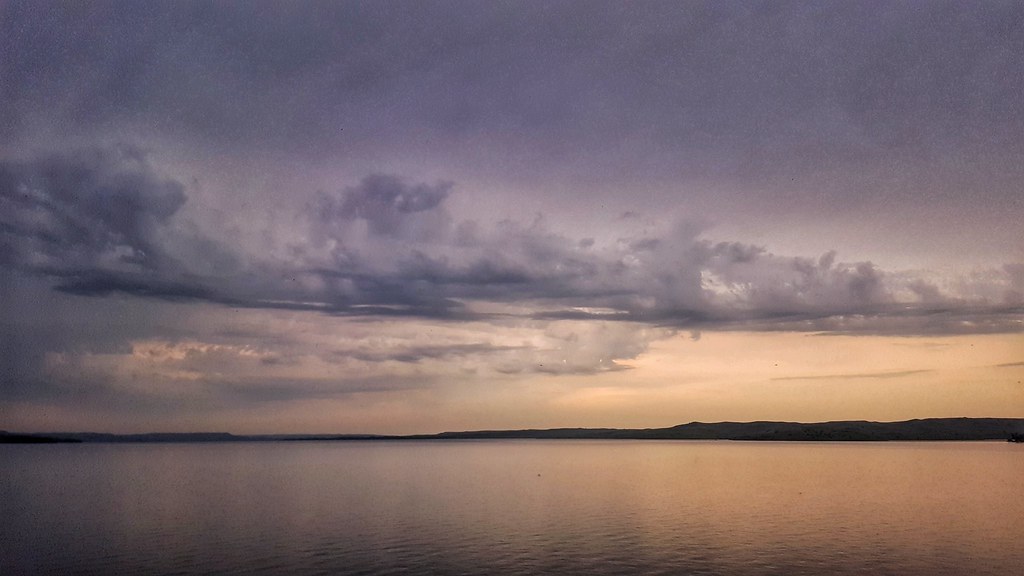
Missouri River at Sunset
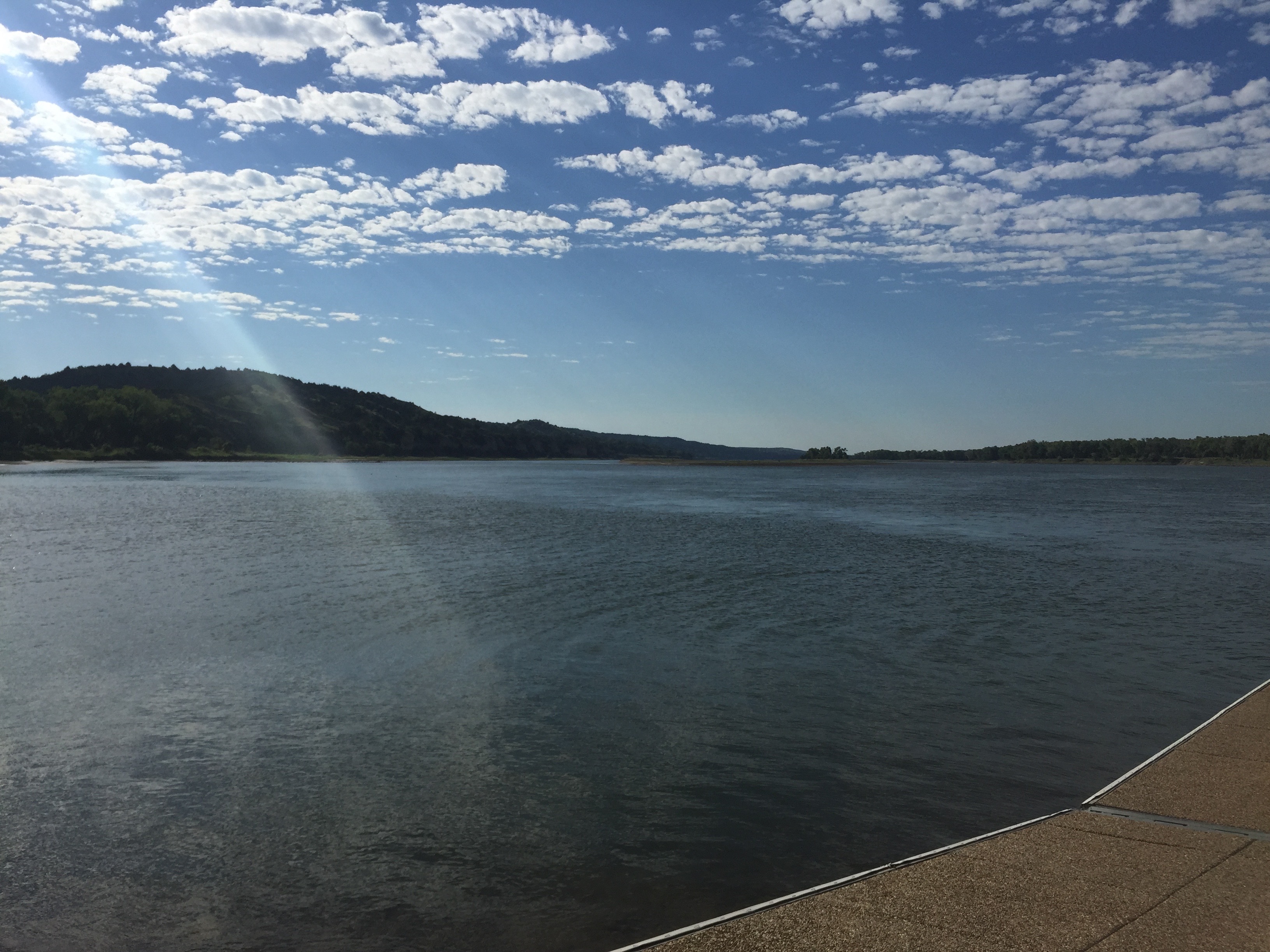
Sunset on Lake Francis Case
South Dakota sunrise

Fort Randall Sunset

Unique Wildlife XXV The Conference . . . . . #naturephotography #iphonephotography #photoart #wildlifephotography #sunset #sunrise #cloudscapes #cloudporn #travel #backroads #offbeat #quirky #roadsideamerica #nature #drivekentucky #kentucky #awesomebutge

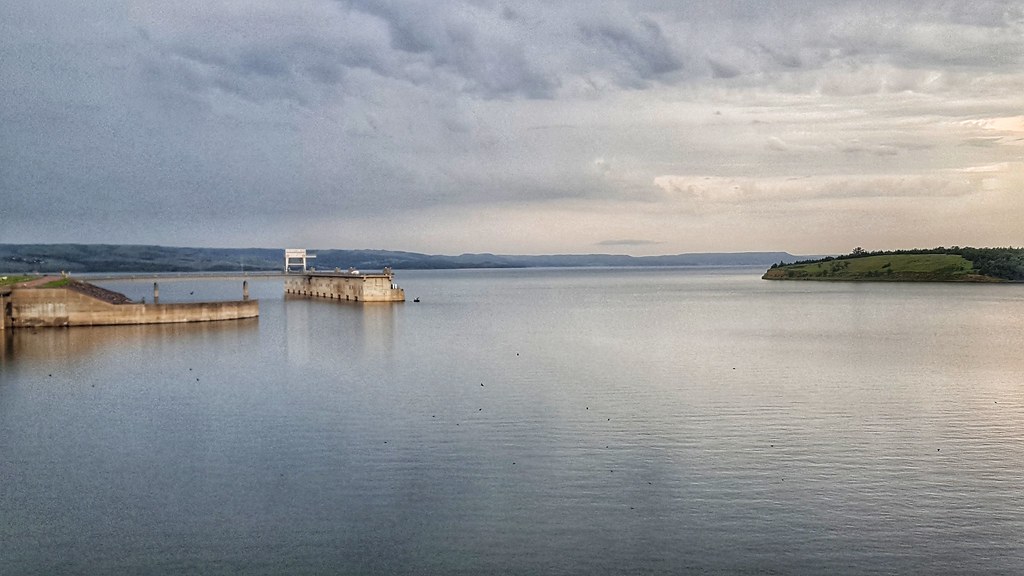
View below Ft. Randall Dam
Panorama view below Ft. Randall Dam

Fort Randall dam
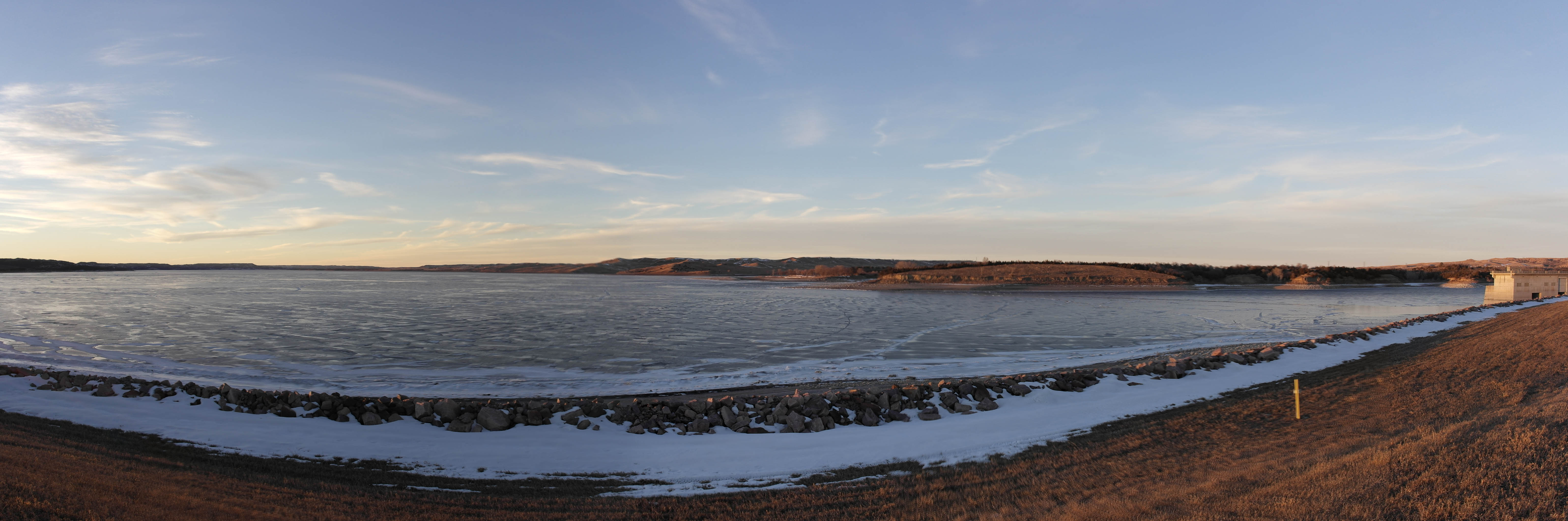
Panorama view from Ft. Randall Dam of Lake Francis Case

Northern Pintail
150724-01 (2015-07-24) - 0006
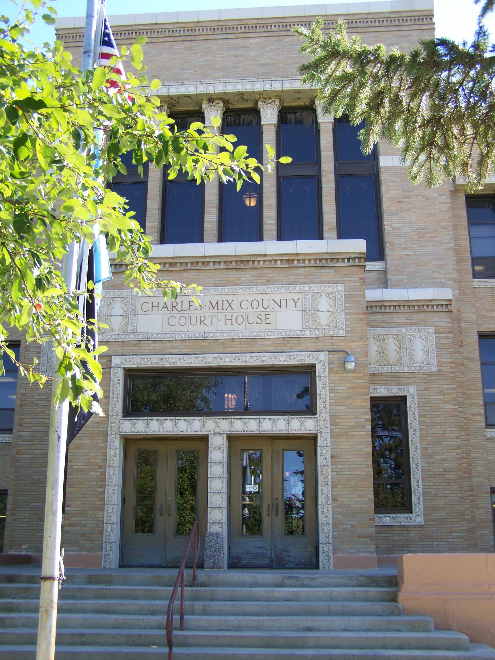
Charles Mix County Courthouse- Lake Andes SD (4)
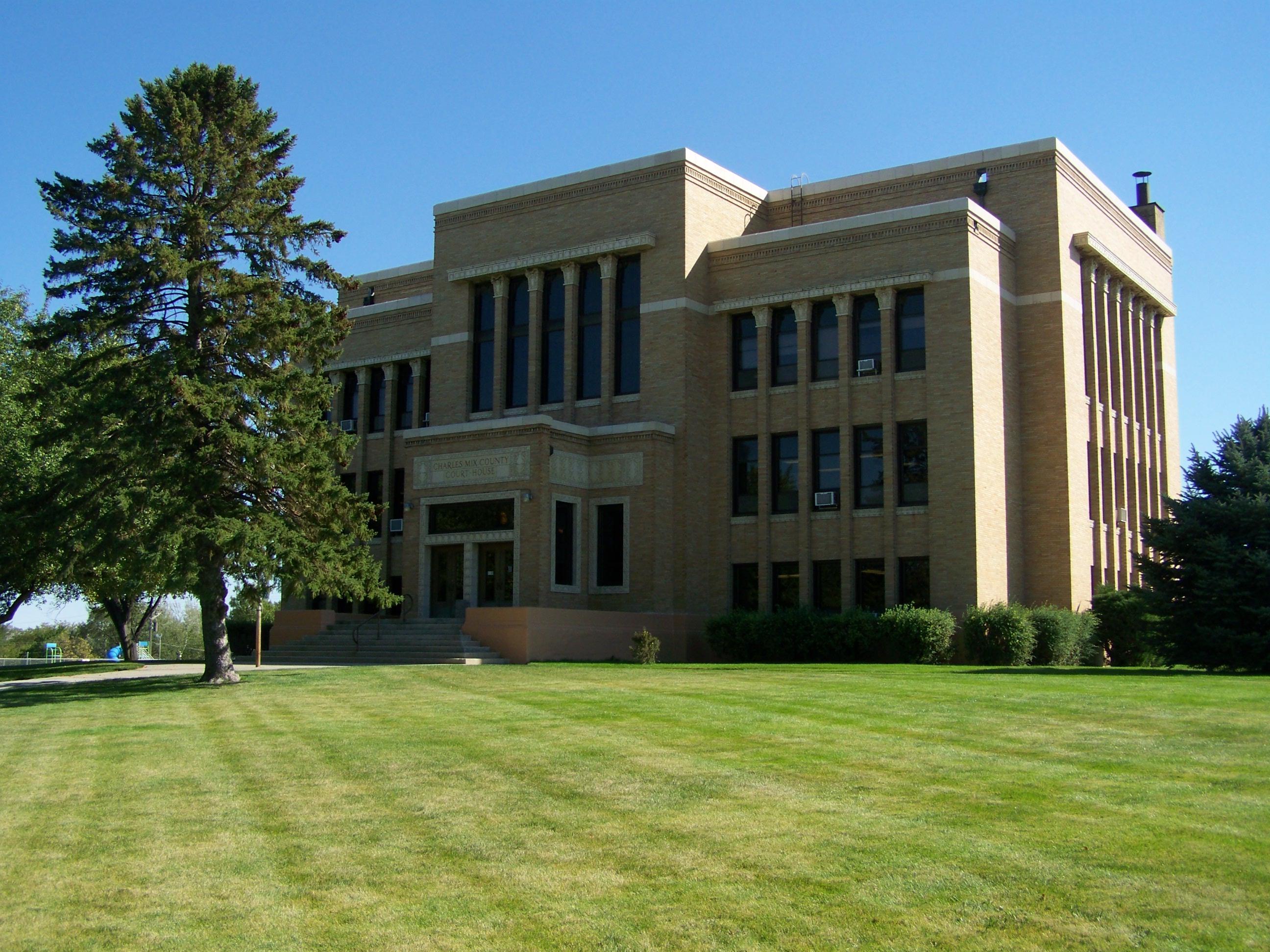
Charles Mix County Courthouse- Lake Andes SD (1)
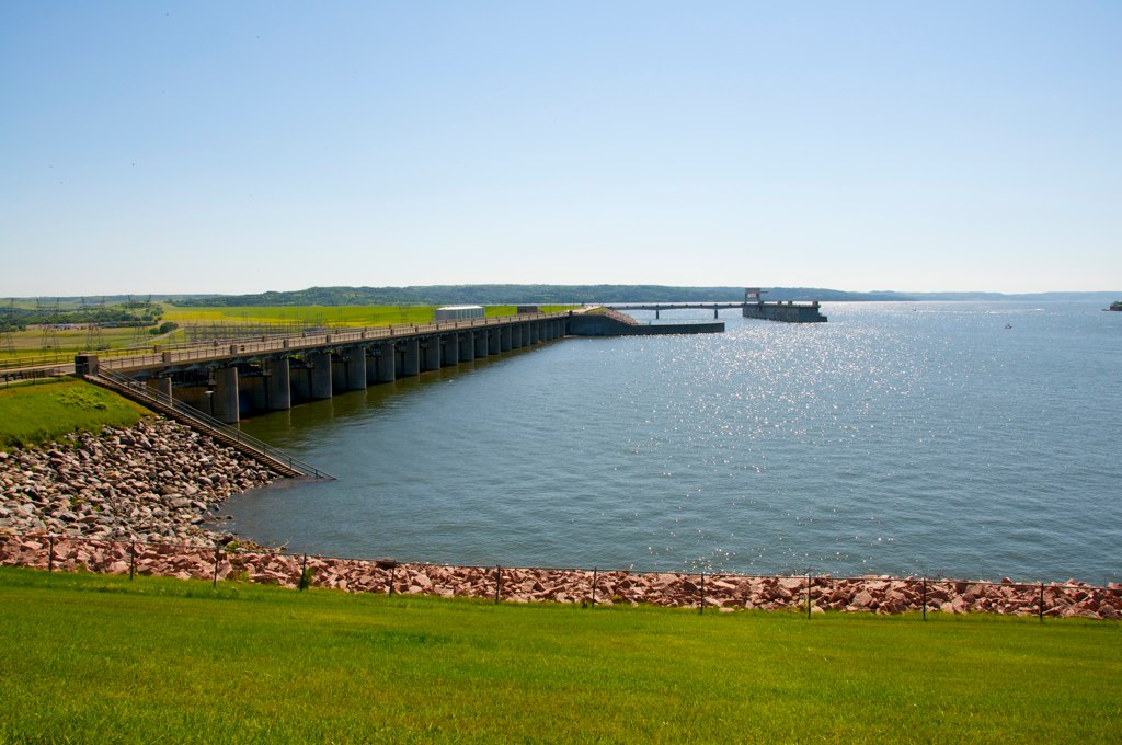
Fort Randall Dam
20180704_093423-01
20180704_092216-01
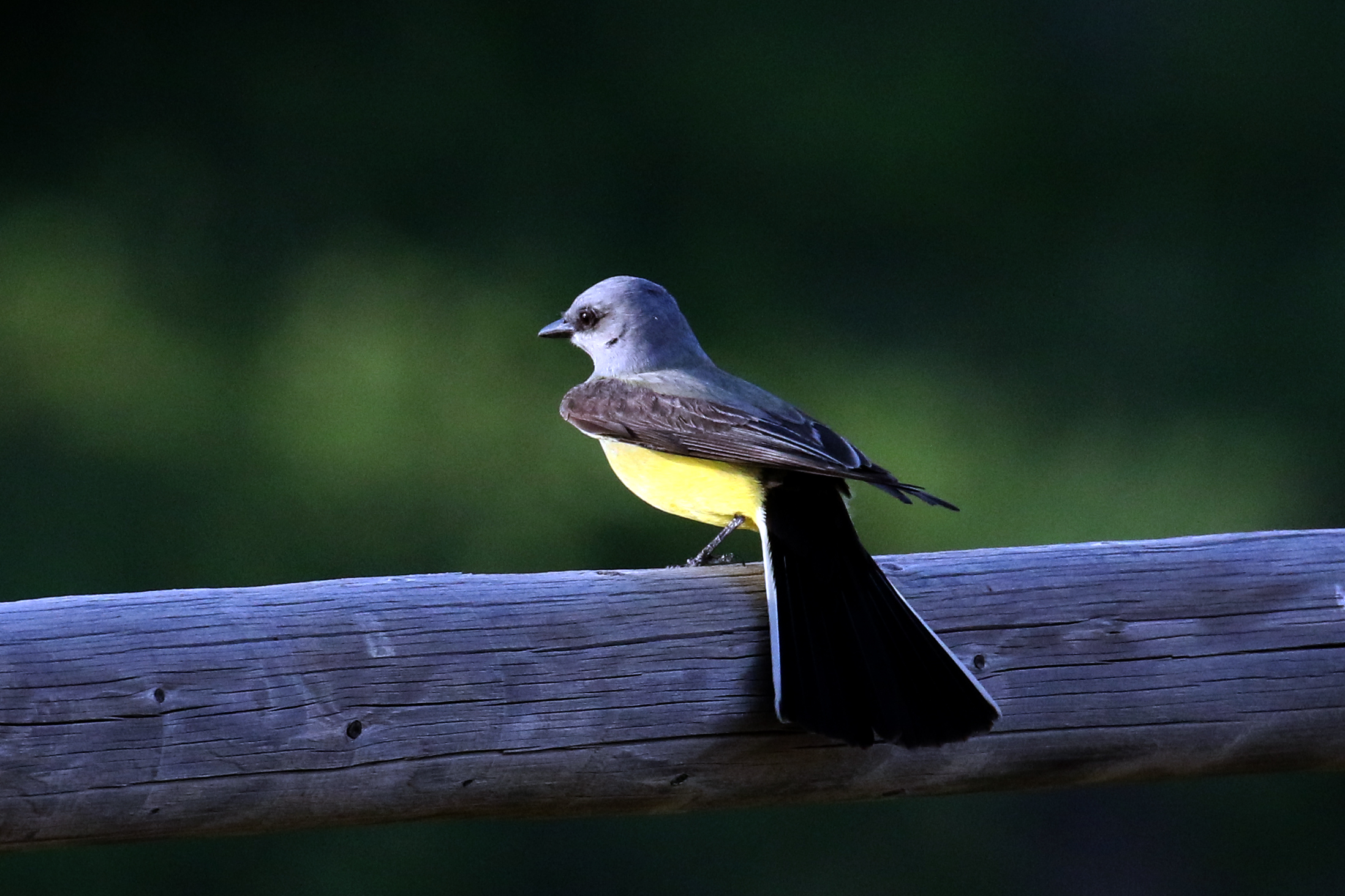
Western Kingbird....6O3A3963A

Killdeer chick....6O3A3932A

I See You Down There
150724-01 (2015-07-24) - 0008

1985 Gavins Point Dam near Yankton SD - Matt age 4

Cow hip bone on the gravel

Geese above Missouri river foothills

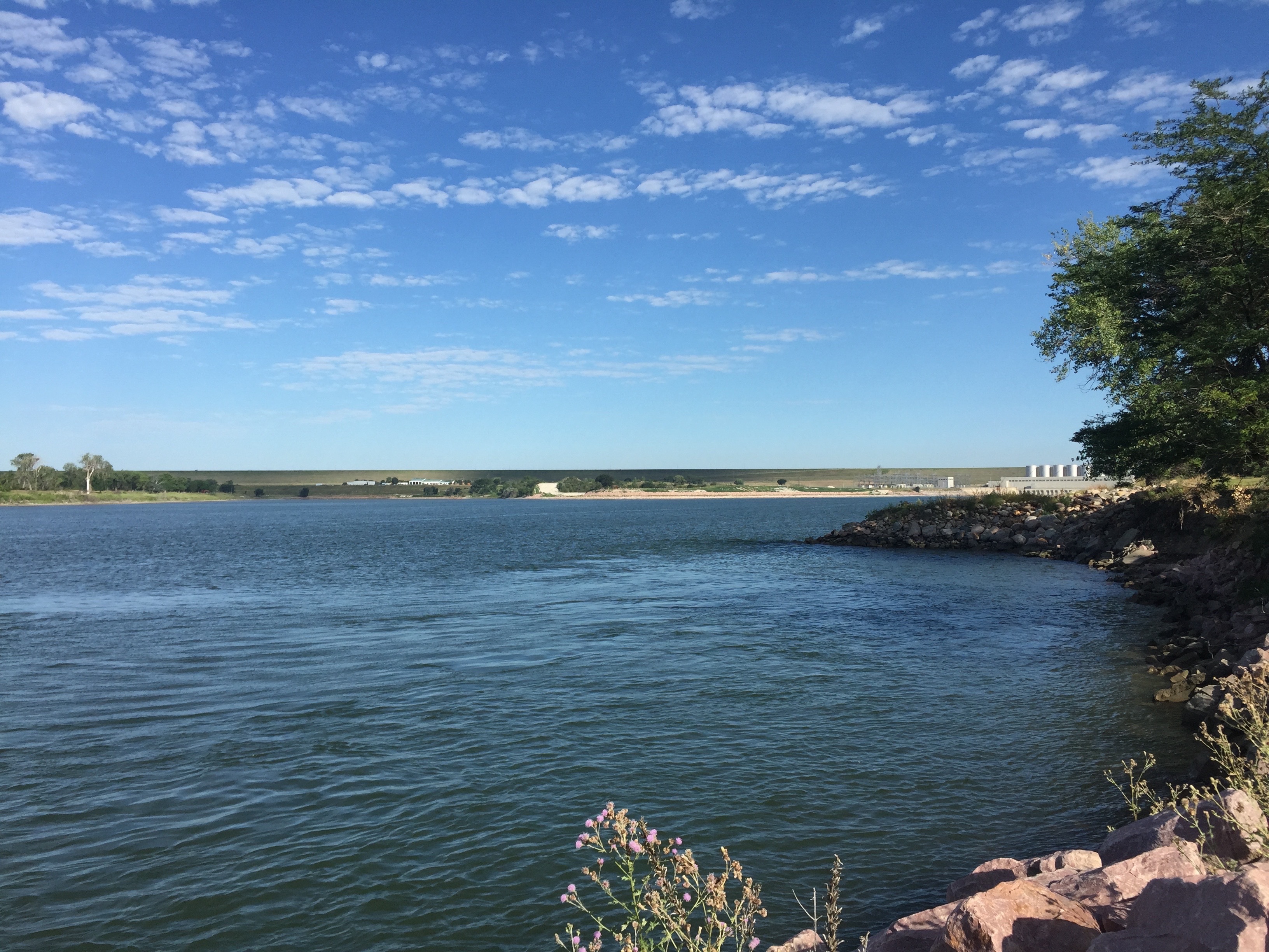
Missouri River below Ft. Randall Dam
Charles Mix County First Circuit, E Main St, Lake Andes, SD, USA Karte
Suchen Sie einen anderen Ort
Nahe Plätze
Lake Andes, SD, USA
N 7th Ave, Lake Andes, SD, USA
Pickstown, SD, USA
James Ave, Pickstown, SD, USA
Pickstown, Süddakota, USA
Geddes, SD, USA
- st St, Platte, SD, USA
Signal Township, SD, USA
Platte, Süddakota, USA
Wilson St, Butte, NE, USA
Gregory County, Süddakota, USA
O'Neill, NE, USA
North Gregory, SD, USA
Grattan Township, Nebraska, USA
Holt County, Nebraska, USA
Gregory, SD, USA
Main St, Gregory, SD, USA
Chambers Township, Nebraska, USA
Newport, NE, USA
Newport, Nebraska, USA
Letzte Suche
- Red Dog Mine, AK, USA Sonnenaufgang Sonnenuntergang Zeiten
- Am Bahnhof, Am bhf, Borken, Germany Sonnenaufgang Sonnenuntergang Zeiten
- 4th St E, Sonoma, CA, USA Sonnenaufgang Sonnenuntergang Zeiten
- Oakland Ave, Williamsport, PA, USA Sonnenaufgang Sonnenuntergang Zeiten
- Via Roma, Pieranica CR, Italien Sonnenaufgang Sonnenuntergang Zeiten
- Glockenturm, Grad, Dubrovnik, Kroatien Sonnenaufgang Sonnenuntergang Zeiten
- Trelew, Chubut Province, Argentina Sonnenaufgang Sonnenuntergang Zeiten
- Hartfords Bluff Cir, Mt Pleasant, SC, USA Sonnenaufgang Sonnenuntergang Zeiten
- Kita-ku, Kumamoto, Präfektur Kumamoto, Japan Sonnenaufgang Sonnenuntergang Zeiten
- Pingtan Island, Pingtan County, Fuzhou, China Sonnenaufgang Sonnenuntergang Zeiten