Cedarville Township, AR, USA Sonnenaufgang Sonnenuntergang Zeiten
Location: USA > Arkansas > Crawford County >
Zeitzone:
America/Chicago
Ortszeit:
2025-06-16 22:46:06
Länge:
-94.3770704
Breite:
35.5958983
Sonnenaufgang Heute:
06:01:38 AM
Sonnenuntergang Heute:
08:35:34 PM
Tageslänge heute:
14h 33m 56s
Sonnenaufgang morgen:
06:01:47 AM
Sonnenuntergang Morgen:
08:35:51 PM
Tageslänge von morgen:
14h 34m 4s
Alle Termine anzeigen
| Datum | Sonnenaufgang | Sonnenuntergang | Tageslänge |
|---|---|---|---|
| 2025-01-01 | 07:27:09 AM | 05:16:10 PM | 9h 49m 1s |
| 2025-01-02 | 07:27:16 AM | 05:16:58 PM | 9h 49m 42s |
| 2025-01-03 | 07:27:22 AM | 05:17:47 PM | 9h 50m 25s |
| 2025-01-04 | 07:27:25 AM | 05:18:37 PM | 9h 51m 12s |
| 2025-01-05 | 07:27:26 AM | 05:19:28 PM | 9h 52m 2s |
| 2025-01-06 | 07:27:26 AM | 05:20:21 PM | 9h 52m 55s |
| 2025-01-07 | 07:27:23 AM | 05:21:14 PM | 9h 53m 51s |
| 2025-01-08 | 07:27:19 AM | 05:22:08 PM | 9h 54m 49s |
| 2025-01-09 | 07:27:12 AM | 05:23:03 PM | 9h 55m 51s |
| 2025-01-10 | 07:27:04 AM | 05:23:59 PM | 9h 56m 55s |
| 2025-01-11 | 07:26:54 AM | 05:24:55 PM | 9h 58m 1s |
| 2025-01-12 | 07:26:41 AM | 05:25:52 PM | 9h 59m 11s |
| 2025-01-13 | 07:26:27 AM | 05:26:50 PM | 10h 0m 23s |
| 2025-01-14 | 07:26:11 AM | 05:27:49 PM | 10h 1m 38s |
| 2025-01-15 | 07:25:53 AM | 05:28:48 PM | 10h 2m 55s |
| 2025-01-16 | 07:25:33 AM | 05:29:47 PM | 10h 4m 14s |
| 2025-01-17 | 07:25:11 AM | 05:30:47 PM | 10h 5m 36s |
| 2025-01-18 | 07:24:48 AM | 05:31:48 PM | 10h 7m 0s |
| 2025-01-19 | 07:24:22 AM | 05:32:48 PM | 10h 8m 26s |
| 2025-01-20 | 07:23:55 AM | 05:33:49 PM | 10h 9m 54s |
| 2025-01-21 | 07:23:26 AM | 05:34:51 PM | 10h 11m 25s |
| 2025-01-22 | 07:22:55 AM | 05:35:52 PM | 10h 12m 57s |
| 2025-01-23 | 07:22:22 AM | 05:36:54 PM | 10h 14m 32s |
| 2025-01-24 | 07:21:47 AM | 05:37:56 PM | 10h 16m 9s |
| 2025-01-25 | 07:21:11 AM | 05:38:58 PM | 10h 17m 47s |
| 2025-01-26 | 07:20:33 AM | 05:40:01 PM | 10h 19m 28s |
| 2025-01-27 | 07:19:53 AM | 05:41:03 PM | 10h 21m 10s |
| 2025-01-28 | 07:19:12 AM | 05:42:05 PM | 10h 22m 53s |
| 2025-01-29 | 07:18:29 AM | 05:43:08 PM | 10h 24m 39s |
| 2025-01-30 | 07:17:44 AM | 05:44:10 PM | 10h 26m 26s |
| 2025-01-31 | 07:16:58 AM | 05:45:12 PM | 10h 28m 14s |
| 2025-02-01 | 07:16:11 AM | 05:46:15 PM | 10h 30m 4s |
| 2025-02-02 | 07:15:21 AM | 05:47:17 PM | 10h 31m 56s |
| 2025-02-03 | 07:14:31 AM | 05:48:19 PM | 10h 33m 48s |
| 2025-02-04 | 07:13:38 AM | 05:49:21 PM | 10h 35m 43s |
| 2025-02-05 | 07:12:45 AM | 05:50:22 PM | 10h 37m 37s |
| 2025-02-06 | 07:11:50 AM | 05:51:24 PM | 10h 39m 34s |
| 2025-02-07 | 07:10:53 AM | 05:52:25 PM | 10h 41m 32s |
| 2025-02-08 | 07:09:56 AM | 05:53:26 PM | 10h 43m 30s |
| 2025-02-09 | 07:08:57 AM | 05:54:27 PM | 10h 45m 30s |
| 2025-02-10 | 07:07:56 AM | 05:55:27 PM | 10h 47m 31s |
| 2025-02-11 | 07:06:55 AM | 05:56:28 PM | 10h 49m 33s |
| 2025-02-12 | 07:05:52 AM | 05:57:28 PM | 10h 51m 36s |
| 2025-02-13 | 07:04:48 AM | 05:58:27 PM | 10h 53m 39s |
| 2025-02-14 | 07:03:43 AM | 05:59:27 PM | 10h 55m 44s |
| 2025-02-15 | 07:02:36 AM | 06:00:26 PM | 10h 57m 50s |
| 2025-02-16 | 07:01:29 AM | 06:01:25 PM | 10h 59m 56s |
| 2025-02-17 | 07:00:20 AM | 06:02:23 PM | 11h 2m 3s |
| 2025-02-18 | 06:59:11 AM | 06:03:21 PM | 11h 4m 10s |
| 2025-02-19 | 06:58:01 AM | 06:04:19 PM | 11h 6m 18s |
| 2025-02-20 | 06:56:49 AM | 06:05:16 PM | 11h 8m 27s |
| 2025-02-21 | 06:55:37 AM | 06:06:14 PM | 11h 10m 37s |
| 2025-02-22 | 06:54:23 AM | 06:07:10 PM | 11h 12m 47s |
| 2025-02-23 | 06:53:09 AM | 06:08:07 PM | 11h 14m 58s |
| 2025-02-24 | 06:51:54 AM | 06:09:03 PM | 11h 17m 9s |
| 2025-02-25 | 06:50:39 AM | 06:09:59 PM | 11h 19m 20s |
| 2025-02-26 | 06:49:22 AM | 06:10:54 PM | 11h 21m 32s |
| 2025-02-27 | 06:48:05 AM | 06:11:49 PM | 11h 23m 44s |
| 2025-02-28 | 06:46:47 AM | 06:12:44 PM | 11h 25m 57s |
| 2025-03-01 | 06:45:28 AM | 06:13:39 PM | 11h 28m 11s |
| 2025-03-02 | 06:44:09 AM | 06:14:33 PM | 11h 30m 24s |
| 2025-03-03 | 06:42:49 AM | 06:15:27 PM | 11h 32m 38s |
| 2025-03-04 | 06:41:28 AM | 06:16:20 PM | 11h 34m 52s |
| 2025-03-05 | 06:40:07 AM | 06:17:14 PM | 11h 37m 7s |
| 2025-03-06 | 06:38:46 AM | 06:18:07 PM | 11h 39m 21s |
| 2025-03-07 | 06:37:24 AM | 06:18:59 PM | 11h 41m 35s |
| 2025-03-08 | 06:36:01 AM | 06:19:52 PM | 11h 43m 51s |
| 2025-03-09 | 07:34:42 AM | 07:20:42 PM | 11h 46m 0s |
| 2025-03-10 | 07:33:18 AM | 07:21:34 PM | 11h 48m 16s |
| 2025-03-11 | 07:31:55 AM | 07:22:26 PM | 11h 50m 31s |
| 2025-03-12 | 07:30:31 AM | 07:23:17 PM | 11h 52m 46s |
| 2025-03-13 | 07:29:06 AM | 07:24:08 PM | 11h 55m 2s |
| 2025-03-14 | 07:27:42 AM | 07:24:59 PM | 11h 57m 17s |
| 2025-03-15 | 07:26:17 AM | 07:25:50 PM | 11h 59m 33s |
| 2025-03-16 | 07:24:52 AM | 07:26:41 PM | 12h 1m 49s |
| 2025-03-17 | 07:23:26 AM | 07:27:31 PM | 12h 4m 5s |
| 2025-03-18 | 07:22:01 AM | 07:28:22 PM | 12h 6m 21s |
| 2025-03-19 | 07:20:35 AM | 07:29:12 PM | 12h 8m 37s |
| 2025-03-20 | 07:19:09 AM | 07:30:02 PM | 12h 10m 53s |
| 2025-03-21 | 07:17:44 AM | 07:30:52 PM | 12h 13m 8s |
| 2025-03-22 | 07:16:18 AM | 07:31:42 PM | 12h 15m 24s |
| 2025-03-23 | 07:14:52 AM | 07:32:32 PM | 12h 17m 40s |
| 2025-03-24 | 07:13:26 AM | 07:33:21 PM | 12h 19m 55s |
| 2025-03-25 | 07:12:01 AM | 07:34:11 PM | 12h 22m 10s |
| 2025-03-26 | 07:10:35 AM | 07:35:00 PM | 12h 24m 25s |
| 2025-03-27 | 07:09:09 AM | 07:35:49 PM | 12h 26m 40s |
| 2025-03-28 | 07:07:44 AM | 07:36:39 PM | 12h 28m 55s |
| 2025-03-29 | 07:06:19 AM | 07:37:28 PM | 12h 31m 9s |
| 2025-03-30 | 07:04:54 AM | 07:38:17 PM | 12h 33m 23s |
| 2025-03-31 | 07:03:29 AM | 07:39:07 PM | 12h 35m 38s |
| 2025-04-01 | 07:02:04 AM | 07:39:56 PM | 12h 37m 52s |
| 2025-04-02 | 07:00:40 AM | 07:40:45 PM | 12h 40m 5s |
| 2025-04-03 | 06:59:16 AM | 07:41:34 PM | 12h 42m 18s |
| 2025-04-04 | 06:57:52 AM | 07:42:23 PM | 12h 44m 31s |
| 2025-04-05 | 06:56:29 AM | 07:43:13 PM | 12h 46m 44s |
| 2025-04-06 | 06:55:06 AM | 07:44:02 PM | 12h 48m 56s |
| 2025-04-07 | 06:53:44 AM | 07:44:51 PM | 12h 51m 7s |
| 2025-04-08 | 06:52:22 AM | 07:45:40 PM | 12h 53m 18s |
| 2025-04-09 | 06:51:00 AM | 07:46:30 PM | 12h 55m 30s |
| 2025-04-10 | 06:49:39 AM | 07:47:19 PM | 12h 57m 40s |
| 2025-04-11 | 06:48:19 AM | 07:48:08 PM | 12h 59m 49s |
| 2025-04-12 | 06:46:59 AM | 07:48:58 PM | 13h 1m 59s |
| 2025-04-13 | 06:45:40 AM | 07:49:48 PM | 13h 4m 8s |
| 2025-04-14 | 06:44:21 AM | 07:50:37 PM | 13h 6m 16s |
| 2025-04-15 | 06:43:03 AM | 07:51:27 PM | 13h 8m 24s |
| 2025-04-16 | 06:41:46 AM | 07:52:17 PM | 13h 10m 31s |
| 2025-04-17 | 06:40:29 AM | 07:53:06 PM | 13h 12m 37s |
| 2025-04-18 | 06:39:13 AM | 07:53:56 PM | 13h 14m 43s |
| 2025-04-19 | 06:37:58 AM | 07:54:46 PM | 13h 16m 48s |
| 2025-04-20 | 06:36:44 AM | 07:55:36 PM | 13h 18m 52s |
| 2025-04-21 | 06:35:31 AM | 07:56:26 PM | 13h 20m 55s |
| 2025-04-22 | 06:34:18 AM | 07:57:16 PM | 13h 22m 58s |
| 2025-04-23 | 06:33:06 AM | 07:58:06 PM | 13h 25m 0s |
| 2025-04-24 | 06:31:56 AM | 07:58:56 PM | 13h 27m 0s |
| 2025-04-25 | 06:30:46 AM | 07:59:46 PM | 13h 29m 0s |
| 2025-04-26 | 06:29:37 AM | 08:00:37 PM | 13h 31m 0s |
| 2025-04-27 | 06:28:29 AM | 08:01:27 PM | 13h 32m 58s |
| 2025-04-28 | 06:27:22 AM | 08:02:17 PM | 13h 34m 55s |
| 2025-04-29 | 06:26:17 AM | 08:03:07 PM | 13h 36m 50s |
| 2025-04-30 | 06:25:12 AM | 08:03:57 PM | 13h 38m 45s |
| 2025-05-01 | 06:24:09 AM | 08:04:47 PM | 13h 40m 38s |
| 2025-05-02 | 06:23:06 AM | 08:05:38 PM | 13h 42m 32s |
| 2025-05-03 | 06:22:05 AM | 08:06:28 PM | 13h 44m 23s |
| 2025-05-04 | 06:21:05 AM | 08:07:17 PM | 13h 46m 12s |
| 2025-05-05 | 06:20:06 AM | 08:08:07 PM | 13h 48m 1s |
| 2025-05-06 | 06:19:09 AM | 08:08:57 PM | 13h 49m 48s |
| 2025-05-07 | 06:18:13 AM | 08:09:47 PM | 13h 51m 34s |
| 2025-05-08 | 06:17:18 AM | 08:10:36 PM | 13h 53m 18s |
| 2025-05-09 | 06:16:24 AM | 08:11:25 PM | 13h 55m 1s |
| 2025-05-10 | 06:15:32 AM | 08:12:14 PM | 13h 56m 42s |
| 2025-05-11 | 06:14:41 AM | 08:13:03 PM | 13h 58m 22s |
| 2025-05-12 | 06:13:51 AM | 08:13:51 PM | 14h 0m 0s |
| 2025-05-13 | 06:13:03 AM | 08:14:40 PM | 14h 1m 37s |
| 2025-05-14 | 06:12:17 AM | 08:15:28 PM | 14h 3m 11s |
| 2025-05-15 | 06:11:31 AM | 08:16:15 PM | 14h 4m 44s |
| 2025-05-16 | 06:10:48 AM | 08:17:03 PM | 14h 6m 15s |
| 2025-05-17 | 06:10:05 AM | 08:17:49 PM | 14h 7m 44s |
| 2025-05-18 | 06:09:25 AM | 08:18:36 PM | 14h 9m 11s |
| 2025-05-19 | 06:08:46 AM | 08:19:22 PM | 14h 10m 36s |
| 2025-05-20 | 06:08:08 AM | 08:20:07 PM | 14h 11m 59s |
| 2025-05-21 | 06:07:32 AM | 08:20:52 PM | 14h 13m 20s |
| 2025-05-22 | 06:06:58 AM | 08:21:37 PM | 14h 14m 39s |
| 2025-05-23 | 06:06:25 AM | 08:22:21 PM | 14h 15m 56s |
| 2025-05-24 | 06:05:54 AM | 08:23:04 PM | 14h 17m 10s |
| 2025-05-25 | 06:05:24 AM | 08:23:47 PM | 14h 18m 23s |
| 2025-05-26 | 06:04:56 AM | 08:24:29 PM | 14h 19m 33s |
| 2025-05-27 | 06:04:30 AM | 08:25:10 PM | 14h 20m 40s |
| 2025-05-28 | 06:04:05 AM | 08:25:50 PM | 14h 21m 45s |
| 2025-05-29 | 06:03:42 AM | 08:26:30 PM | 14h 22m 48s |
| 2025-05-30 | 06:03:21 AM | 08:27:09 PM | 14h 23m 48s |
| 2025-05-31 | 06:03:01 AM | 08:27:47 PM | 14h 24m 46s |
| 2025-06-01 | 06:02:43 AM | 08:28:24 PM | 14h 25m 41s |
| 2025-06-02 | 06:02:27 AM | 08:29:00 PM | 14h 26m 33s |
| 2025-06-03 | 06:02:12 AM | 08:29:35 PM | 14h 27m 23s |
| 2025-06-04 | 06:02:00 AM | 08:30:09 PM | 14h 28m 9s |
| 2025-06-05 | 06:01:48 AM | 08:30:42 PM | 14h 28m 54s |
| 2025-06-06 | 06:01:39 AM | 08:31:14 PM | 14h 29m 35s |
| 2025-06-07 | 06:01:31 AM | 08:31:45 PM | 14h 30m 14s |
| 2025-06-08 | 06:01:25 AM | 08:32:14 PM | 14h 30m 49s |
| 2025-06-09 | 06:01:20 AM | 08:32:43 PM | 14h 31m 23s |
| 2025-06-10 | 06:01:17 AM | 08:33:10 PM | 14h 31m 53s |
| 2025-06-11 | 06:01:16 AM | 08:33:36 PM | 14h 32m 20s |
| 2025-06-12 | 06:01:17 AM | 08:34:01 PM | 14h 32m 44s |
| 2025-06-13 | 06:01:19 AM | 08:34:24 PM | 14h 33m 5s |
| 2025-06-14 | 06:01:22 AM | 08:34:46 PM | 14h 33m 24s |
| 2025-06-15 | 06:01:27 AM | 08:35:07 PM | 14h 33m 40s |
| 2025-06-16 | 06:01:34 AM | 08:35:26 PM | 14h 33m 52s |
| 2025-06-17 | 06:01:43 AM | 08:35:44 PM | 14h 34m 1s |
| 2025-06-18 | 06:01:53 AM | 08:36:00 PM | 14h 34m 7s |
| 2025-06-19 | 06:02:04 AM | 08:36:15 PM | 14h 34m 11s |
| 2025-06-20 | 06:02:17 AM | 08:36:28 PM | 14h 34m 11s |
| 2025-06-21 | 06:02:31 AM | 08:36:40 PM | 14h 34m 9s |
| 2025-06-22 | 06:02:47 AM | 08:36:50 PM | 14h 34m 3s |
| 2025-06-23 | 06:03:04 AM | 08:36:58 PM | 14h 33m 54s |
| 2025-06-24 | 06:03:23 AM | 08:37:05 PM | 14h 33m 42s |
| 2025-06-25 | 06:03:43 AM | 08:37:11 PM | 14h 33m 28s |
| 2025-06-26 | 06:04:04 AM | 08:37:14 PM | 14h 33m 10s |
| 2025-06-27 | 06:04:26 AM | 08:37:16 PM | 14h 32m 50s |
| 2025-06-28 | 06:04:50 AM | 08:37:17 PM | 14h 32m 27s |
| 2025-06-29 | 06:05:15 AM | 08:37:15 PM | 14h 32m 0s |
| 2025-06-30 | 06:05:41 AM | 08:37:12 PM | 14h 31m 31s |
| 2025-07-01 | 06:06:09 AM | 08:37:08 PM | 14h 30m 59s |
| 2025-07-02 | 06:06:37 AM | 08:37:01 PM | 14h 30m 24s |
| 2025-07-03 | 06:07:07 AM | 08:36:53 PM | 14h 29m 46s |
| 2025-07-04 | 06:07:38 AM | 08:36:43 PM | 14h 29m 5s |
| 2025-07-05 | 06:08:09 AM | 08:36:32 PM | 14h 28m 23s |
| 2025-07-06 | 06:08:42 AM | 08:36:18 PM | 14h 27m 36s |
| 2025-07-07 | 06:09:16 AM | 08:36:03 PM | 14h 26m 47s |
| 2025-07-08 | 06:09:50 AM | 08:35:47 PM | 14h 25m 57s |
| 2025-07-09 | 06:10:26 AM | 08:35:28 PM | 14h 25m 2s |
| 2025-07-10 | 06:11:02 AM | 08:35:08 PM | 14h 24m 6s |
| 2025-07-11 | 06:11:39 AM | 08:34:46 PM | 14h 23m 7s |
| 2025-07-12 | 06:12:17 AM | 08:34:22 PM | 14h 22m 5s |
| 2025-07-13 | 06:12:55 AM | 08:33:57 PM | 14h 21m 2s |
| 2025-07-14 | 06:13:35 AM | 08:33:30 PM | 14h 19m 55s |
| 2025-07-15 | 06:14:15 AM | 08:33:01 PM | 14h 18m 46s |
| 2025-07-16 | 06:14:55 AM | 08:32:31 PM | 14h 17m 36s |
| 2025-07-17 | 06:15:36 AM | 08:31:59 PM | 14h 16m 23s |
| 2025-07-18 | 06:16:18 AM | 08:31:25 PM | 14h 15m 7s |
| 2025-07-19 | 06:17:00 AM | 08:30:50 PM | 14h 13m 50s |
| 2025-07-20 | 06:17:43 AM | 08:30:13 PM | 14h 12m 30s |
| 2025-07-21 | 06:18:26 AM | 08:29:34 PM | 14h 11m 8s |
| 2025-07-22 | 06:19:10 AM | 08:28:54 PM | 14h 9m 44s |
| 2025-07-23 | 06:19:54 AM | 08:28:13 PM | 14h 8m 19s |
| 2025-07-24 | 06:20:38 AM | 08:27:29 PM | 14h 6m 51s |
| 2025-07-25 | 06:21:23 AM | 08:26:45 PM | 14h 5m 22s |
| 2025-07-26 | 06:22:08 AM | 08:25:58 PM | 14h 3m 50s |
| 2025-07-27 | 06:22:53 AM | 08:25:11 PM | 14h 2m 18s |
| 2025-07-28 | 06:23:39 AM | 08:24:21 PM | 14h 0m 42s |
| 2025-07-29 | 06:24:24 AM | 08:23:31 PM | 13h 59m 7s |
| 2025-07-30 | 06:25:10 AM | 08:22:39 PM | 13h 57m 29s |
| 2025-07-31 | 06:25:56 AM | 08:21:45 PM | 13h 55m 49s |
| 2025-08-01 | 06:26:43 AM | 08:20:51 PM | 13h 54m 8s |
| 2025-08-02 | 06:27:29 AM | 08:19:54 PM | 13h 52m 25s |
| 2025-08-03 | 06:28:16 AM | 08:18:57 PM | 13h 50m 41s |
| 2025-08-04 | 06:29:02 AM | 08:17:58 PM | 13h 48m 56s |
| 2025-08-05 | 06:29:49 AM | 08:16:58 PM | 13h 47m 9s |
| 2025-08-06 | 06:30:36 AM | 08:15:57 PM | 13h 45m 21s |
| 2025-08-07 | 06:31:22 AM | 08:14:54 PM | 13h 43m 32s |
| 2025-08-08 | 06:32:09 AM | 08:13:51 PM | 13h 41m 42s |
| 2025-08-09 | 06:32:56 AM | 08:12:46 PM | 13h 39m 50s |
| 2025-08-10 | 06:33:43 AM | 08:11:40 PM | 13h 37m 57s |
| 2025-08-11 | 06:34:30 AM | 08:10:33 PM | 13h 36m 3s |
| 2025-08-12 | 06:35:16 AM | 08:09:24 PM | 13h 34m 8s |
| 2025-08-13 | 06:36:03 AM | 08:08:15 PM | 13h 32m 12s |
| 2025-08-14 | 06:36:50 AM | 08:07:05 PM | 13h 30m 15s |
| 2025-08-15 | 06:37:36 AM | 08:05:54 PM | 13h 28m 18s |
| 2025-08-16 | 06:38:23 AM | 08:04:42 PM | 13h 26m 19s |
| 2025-08-17 | 06:39:09 AM | 08:03:28 PM | 13h 24m 19s |
| 2025-08-18 | 06:39:56 AM | 08:02:14 PM | 13h 22m 18s |
| 2025-08-19 | 06:40:42 AM | 08:00:59 PM | 13h 20m 17s |
| 2025-08-20 | 06:41:28 AM | 07:59:44 PM | 13h 18m 16s |
| 2025-08-21 | 06:42:14 AM | 07:58:27 PM | 13h 16m 13s |
| 2025-08-22 | 06:43:00 AM | 07:57:09 PM | 13h 14m 9s |
| 2025-08-23 | 06:43:46 AM | 07:55:51 PM | 13h 12m 5s |
| 2025-08-24 | 06:44:32 AM | 07:54:32 PM | 13h 10m 0s |
| 2025-08-25 | 06:45:18 AM | 07:53:13 PM | 13h 7m 55s |
| 2025-08-26 | 06:46:04 AM | 07:51:52 PM | 13h 5m 48s |
| 2025-08-27 | 06:46:49 AM | 07:50:31 PM | 13h 3m 42s |
| 2025-08-28 | 06:47:35 AM | 07:49:10 PM | 13h 1m 35s |
| 2025-08-29 | 06:48:20 AM | 07:47:48 PM | 12h 59m 28s |
| 2025-08-30 | 06:49:06 AM | 07:46:25 PM | 12h 57m 19s |
| 2025-08-31 | 06:49:51 AM | 07:45:01 PM | 12h 55m 10s |
| 2025-09-01 | 06:50:36 AM | 07:43:38 PM | 12h 53m 2s |
| 2025-09-02 | 06:51:21 AM | 07:42:13 PM | 12h 50m 52s |
| 2025-09-03 | 06:52:06 AM | 07:40:49 PM | 12h 48m 43s |
| 2025-09-04 | 06:52:51 AM | 07:39:23 PM | 12h 46m 32s |
| 2025-09-05 | 06:53:36 AM | 07:37:58 PM | 12h 44m 22s |
| 2025-09-06 | 06:54:21 AM | 07:36:32 PM | 12h 42m 11s |
| 2025-09-07 | 06:55:06 AM | 07:35:06 PM | 12h 40m 0s |
| 2025-09-08 | 06:55:51 AM | 07:33:39 PM | 12h 37m 48s |
| 2025-09-09 | 06:56:36 AM | 07:32:12 PM | 12h 35m 36s |
| 2025-09-10 | 06:57:21 AM | 07:30:45 PM | 12h 33m 24s |
| 2025-09-11 | 06:58:06 AM | 07:29:18 PM | 12h 31m 12s |
| 2025-09-12 | 06:58:51 AM | 07:27:50 PM | 12h 28m 59s |
| 2025-09-13 | 06:59:36 AM | 07:26:22 PM | 12h 26m 46s |
| 2025-09-14 | 07:00:21 AM | 07:24:55 PM | 12h 24m 34s |
| 2025-09-15 | 07:01:06 AM | 07:23:27 PM | 12h 22m 21s |
| 2025-09-16 | 07:01:51 AM | 07:21:59 PM | 12h 20m 8s |
| 2025-09-17 | 07:02:36 AM | 07:20:30 PM | 12h 17m 54s |
| 2025-09-18 | 07:03:21 AM | 07:19:02 PM | 12h 15m 41s |
| 2025-09-19 | 07:04:07 AM | 07:17:34 PM | 12h 13m 27s |
| 2025-09-20 | 07:04:52 AM | 07:16:06 PM | 12h 11m 14s |
| 2025-09-21 | 07:05:38 AM | 07:14:38 PM | 12h 9m 0s |
| 2025-09-22 | 07:06:24 AM | 07:13:10 PM | 12h 6m 46s |
| 2025-09-23 | 07:07:10 AM | 07:11:42 PM | 12h 4m 32s |
| 2025-09-24 | 07:07:56 AM | 07:10:15 PM | 12h 2m 19s |
| 2025-09-25 | 07:08:42 AM | 07:08:47 PM | 12h 0m 5s |
| 2025-09-26 | 07:09:28 AM | 07:07:20 PM | 11h 57m 52s |
| 2025-09-27 | 07:10:15 AM | 07:05:53 PM | 11h 55m 38s |
| 2025-09-28 | 07:11:02 AM | 07:04:26 PM | 11h 53m 24s |
| 2025-09-29 | 07:11:49 AM | 07:03:00 PM | 11h 51m 11s |
| 2025-09-30 | 07:12:36 AM | 07:01:34 PM | 11h 48m 58s |
| 2025-10-01 | 07:13:24 AM | 07:00:08 PM | 11h 46m 44s |
| 2025-10-02 | 07:14:12 AM | 06:58:43 PM | 11h 44m 31s |
| 2025-10-03 | 07:15:00 AM | 06:57:18 PM | 11h 42m 18s |
| 2025-10-04 | 07:15:48 AM | 06:55:53 PM | 11h 40m 5s |
| 2025-10-05 | 07:16:37 AM | 06:54:29 PM | 11h 37m 52s |
| 2025-10-06 | 07:17:25 AM | 06:53:05 PM | 11h 35m 40s |
| 2025-10-07 | 07:18:15 AM | 06:51:42 PM | 11h 33m 27s |
| 2025-10-08 | 07:19:04 AM | 06:50:20 PM | 11h 31m 16s |
| 2025-10-09 | 07:19:54 AM | 06:48:58 PM | 11h 29m 4s |
| 2025-10-10 | 07:20:44 AM | 06:47:37 PM | 11h 26m 53s |
| 2025-10-11 | 07:21:35 AM | 06:46:16 PM | 11h 24m 41s |
| 2025-10-12 | 07:22:25 AM | 06:44:56 PM | 11h 22m 31s |
| 2025-10-13 | 07:23:17 AM | 06:43:37 PM | 11h 20m 20s |
| 2025-10-14 | 07:24:08 AM | 06:42:19 PM | 11h 18m 11s |
| 2025-10-15 | 07:25:00 AM | 06:41:01 PM | 11h 16m 1s |
| 2025-10-16 | 07:25:52 AM | 06:39:44 PM | 11h 13m 52s |
| 2025-10-17 | 07:26:45 AM | 06:38:28 PM | 11h 11m 43s |
| 2025-10-18 | 07:27:38 AM | 06:37:13 PM | 11h 9m 35s |
| 2025-10-19 | 07:28:31 AM | 06:35:59 PM | 11h 7m 28s |
| 2025-10-20 | 07:29:24 AM | 06:34:46 PM | 11h 5m 22s |
| 2025-10-21 | 07:30:18 AM | 06:33:34 PM | 11h 3m 16s |
| 2025-10-22 | 07:31:13 AM | 06:32:22 PM | 11h 1m 9s |
| 2025-10-23 | 07:32:08 AM | 06:31:12 PM | 10h 59m 4s |
| 2025-10-24 | 07:33:03 AM | 06:30:03 PM | 10h 57m 0s |
| 2025-10-25 | 07:33:58 AM | 06:28:55 PM | 10h 54m 57s |
| 2025-10-26 | 07:34:54 AM | 06:27:48 PM | 10h 52m 54s |
| 2025-10-27 | 07:35:50 AM | 06:26:42 PM | 10h 50m 52s |
| 2025-10-28 | 07:36:46 AM | 06:25:38 PM | 10h 48m 52s |
| 2025-10-29 | 07:37:43 AM | 06:24:34 PM | 10h 46m 51s |
| 2025-10-30 | 07:38:40 AM | 06:23:32 PM | 10h 44m 52s |
| 2025-10-31 | 07:39:37 AM | 06:22:32 PM | 10h 42m 55s |
| 2025-11-01 | 07:40:35 AM | 06:21:32 PM | 10h 40m 57s |
| 2025-11-02 | 06:41:35 AM | 05:20:32 PM | 10h 38m 57s |
| 2025-11-03 | 06:42:34 AM | 05:19:35 PM | 10h 37m 1s |
| 2025-11-04 | 06:43:32 AM | 05:18:40 PM | 10h 35m 8s |
| 2025-11-05 | 06:44:31 AM | 05:17:46 PM | 10h 33m 15s |
| 2025-11-06 | 06:45:29 AM | 05:16:54 PM | 10h 31m 25s |
| 2025-11-07 | 06:46:28 AM | 05:16:03 PM | 10h 29m 35s |
| 2025-11-08 | 06:47:27 AM | 05:15:14 PM | 10h 27m 47s |
| 2025-11-09 | 06:48:27 AM | 05:14:26 PM | 10h 25m 59s |
| 2025-11-10 | 06:49:26 AM | 05:13:40 PM | 10h 24m 14s |
| 2025-11-11 | 06:50:26 AM | 05:12:55 PM | 10h 22m 29s |
| 2025-11-12 | 06:51:25 AM | 05:12:12 PM | 10h 20m 47s |
| 2025-11-13 | 06:52:24 AM | 05:11:31 PM | 10h 19m 7s |
| 2025-11-14 | 06:53:24 AM | 05:10:52 PM | 10h 17m 28s |
| 2025-11-15 | 06:54:23 AM | 05:10:14 PM | 10h 15m 51s |
| 2025-11-16 | 06:55:23 AM | 05:09:38 PM | 10h 14m 15s |
| 2025-11-17 | 06:56:22 AM | 05:09:04 PM | 10h 12m 42s |
| 2025-11-18 | 06:57:21 AM | 05:08:31 PM | 10h 11m 10s |
| 2025-11-19 | 06:58:20 AM | 05:08:01 PM | 10h 9m 41s |
| 2025-11-20 | 06:59:19 AM | 05:07:32 PM | 10h 8m 13s |
| 2025-11-21 | 07:00:17 AM | 05:07:05 PM | 10h 6m 48s |
| 2025-11-22 | 07:01:15 AM | 05:06:40 PM | 10h 5m 25s |
| 2025-11-23 | 07:02:13 AM | 05:06:17 PM | 10h 4m 4s |
| 2025-11-24 | 07:03:11 AM | 05:05:56 PM | 10h 2m 45s |
| 2025-11-25 | 07:04:07 AM | 05:05:37 PM | 10h 1m 30s |
| 2025-11-26 | 07:05:04 AM | 05:05:19 PM | 10h 0m 15s |
| 2025-11-27 | 07:06:00 AM | 05:05:04 PM | 9h 59m 4s |
| 2025-11-28 | 07:06:55 AM | 05:04:51 PM | 9h 57m 56s |
| 2025-11-29 | 07:07:50 AM | 05:04:39 PM | 9h 56m 49s |
| 2025-11-30 | 07:08:44 AM | 05:04:30 PM | 9h 55m 46s |
| 2025-12-01 | 07:09:38 AM | 05:04:22 PM | 9h 54m 44s |
| 2025-12-02 | 07:10:30 AM | 05:04:17 PM | 9h 53m 47s |
| 2025-12-03 | 07:11:22 AM | 05:04:13 PM | 9h 52m 51s |
| 2025-12-04 | 07:12:13 AM | 05:04:12 PM | 9h 51m 59s |
| 2025-12-05 | 07:13:03 AM | 05:04:12 PM | 9h 51m 9s |
| 2025-12-06 | 07:13:52 AM | 05:04:15 PM | 9h 50m 23s |
| 2025-12-07 | 07:14:40 AM | 05:04:19 PM | 9h 49m 39s |
| 2025-12-08 | 07:15:27 AM | 05:04:26 PM | 9h 48m 59s |
| 2025-12-09 | 07:16:13 AM | 05:04:34 PM | 9h 48m 21s |
| 2025-12-10 | 07:16:58 AM | 05:04:44 PM | 9h 47m 46s |
| 2025-12-11 | 07:17:41 AM | 05:04:57 PM | 9h 47m 16s |
| 2025-12-12 | 07:18:24 AM | 05:05:11 PM | 9h 46m 47s |
| 2025-12-13 | 07:19:05 AM | 05:05:27 PM | 9h 46m 22s |
| 2025-12-14 | 07:19:44 AM | 05:05:45 PM | 9h 46m 1s |
| 2025-12-15 | 07:20:23 AM | 05:06:05 PM | 9h 45m 42s |
| 2025-12-16 | 07:21:00 AM | 05:06:27 PM | 9h 45m 27s |
| 2025-12-17 | 07:21:35 AM | 05:06:50 PM | 9h 45m 15s |
| 2025-12-18 | 07:22:09 AM | 05:07:15 PM | 9h 45m 6s |
| 2025-12-19 | 07:22:41 AM | 05:07:43 PM | 9h 45m 2s |
| 2025-12-20 | 07:23:12 AM | 05:08:11 PM | 9h 44m 59s |
| 2025-12-21 | 07:23:41 AM | 05:08:42 PM | 9h 45m 1s |
| 2025-12-22 | 07:24:09 AM | 05:09:14 PM | 9h 45m 5s |
| 2025-12-23 | 07:24:35 AM | 05:09:48 PM | 9h 45m 13s |
| 2025-12-24 | 07:24:59 AM | 05:10:23 PM | 9h 45m 24s |
| 2025-12-25 | 07:25:21 AM | 05:11:00 PM | 9h 45m 39s |
| 2025-12-26 | 07:25:42 AM | 05:11:38 PM | 9h 45m 56s |
| 2025-12-27 | 07:26:01 AM | 05:12:18 PM | 9h 46m 17s |
| 2025-12-28 | 07:26:18 AM | 05:13:00 PM | 9h 46m 42s |
| 2025-12-29 | 07:26:33 AM | 05:13:42 PM | 9h 47m 9s |
| 2025-12-30 | 07:26:46 AM | 05:14:26 PM | 9h 47m 40s |
| 2025-12-31 | 07:26:57 AM | 05:15:12 PM | 9h 48m 15s |
Fotos
Fire in the Hole
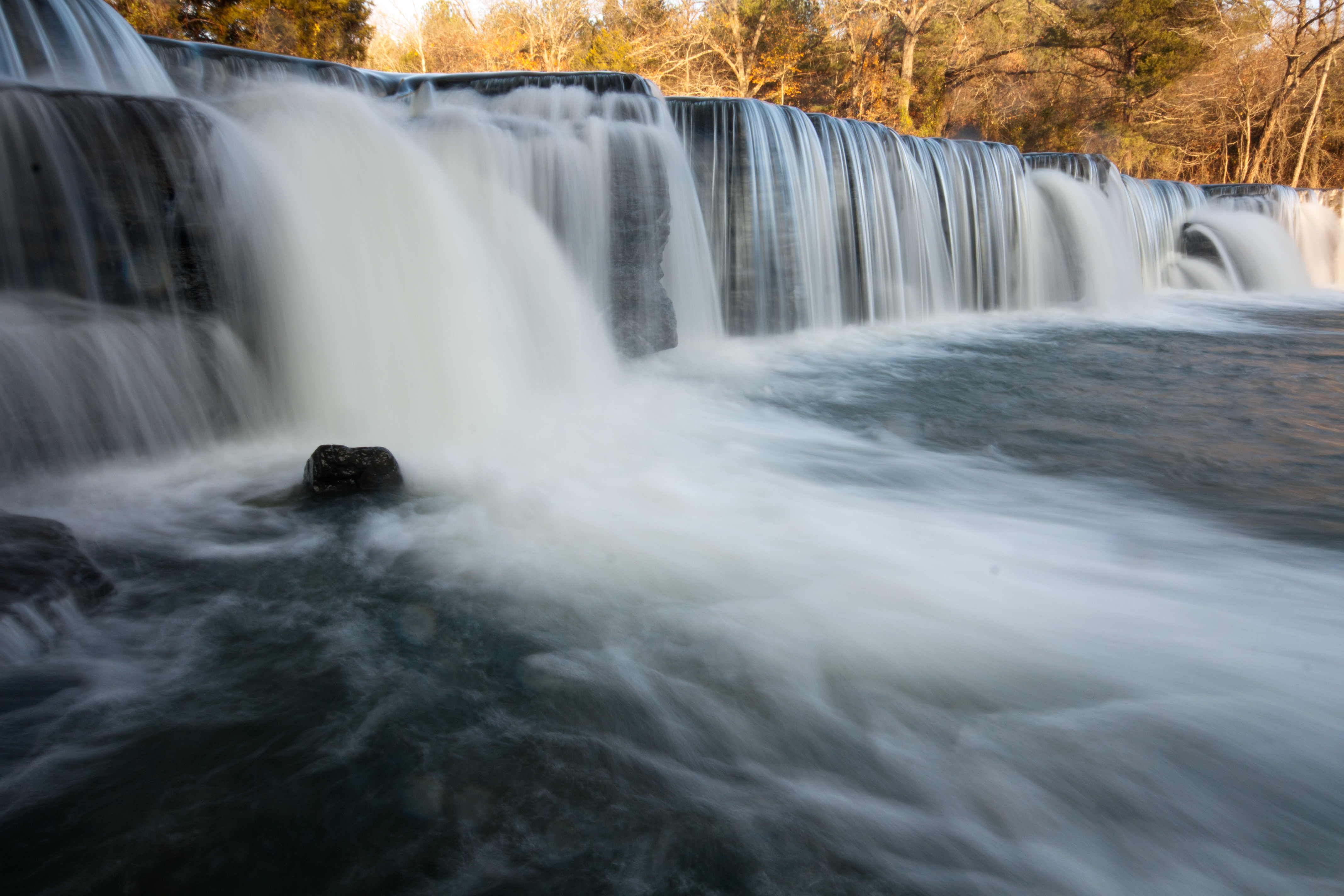
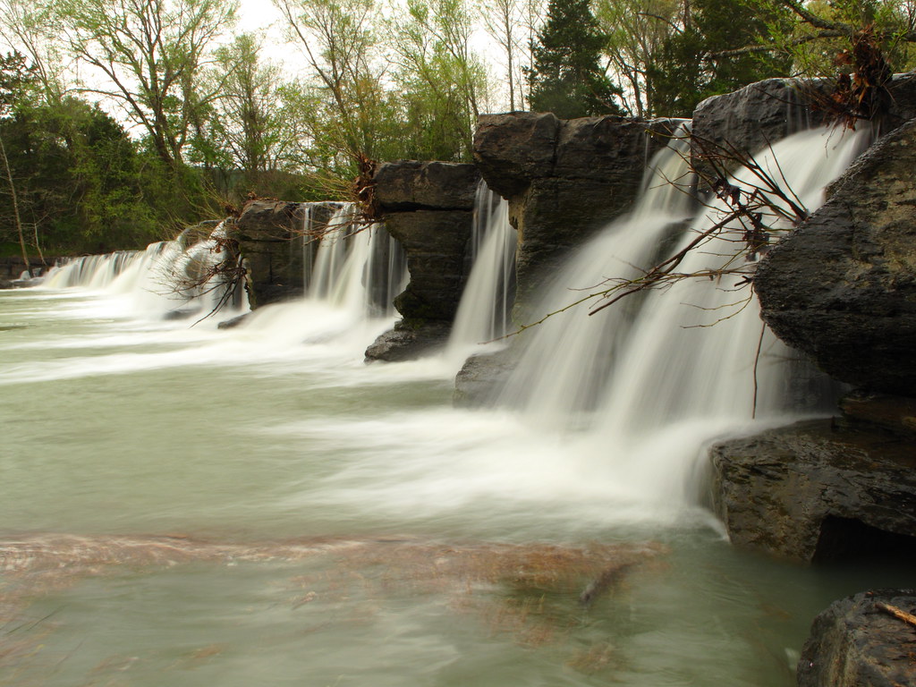
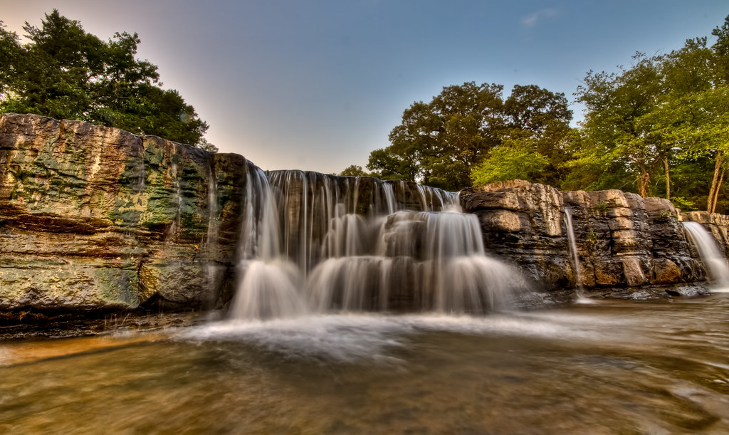
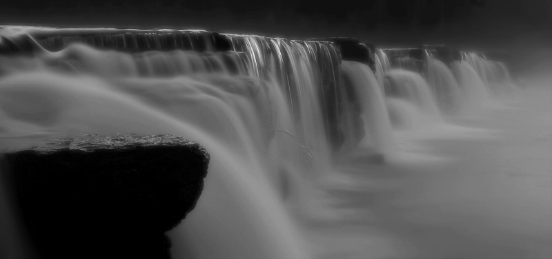
Natural Dam 1
Great White........

"Down The Creek"
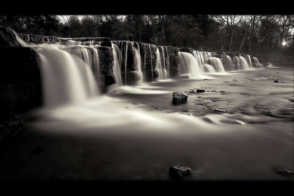
the natural dam
For Kim
Natural Dam 2
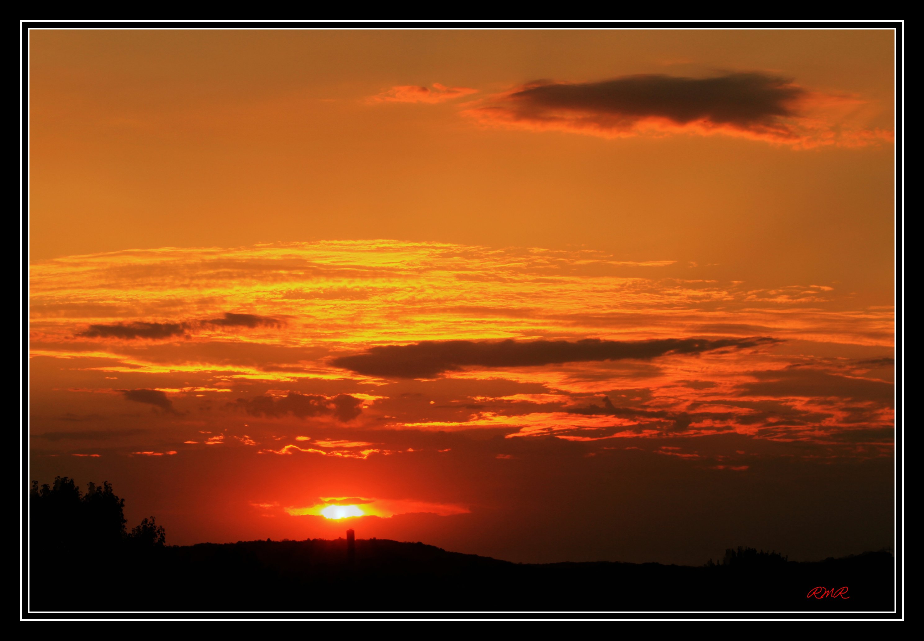
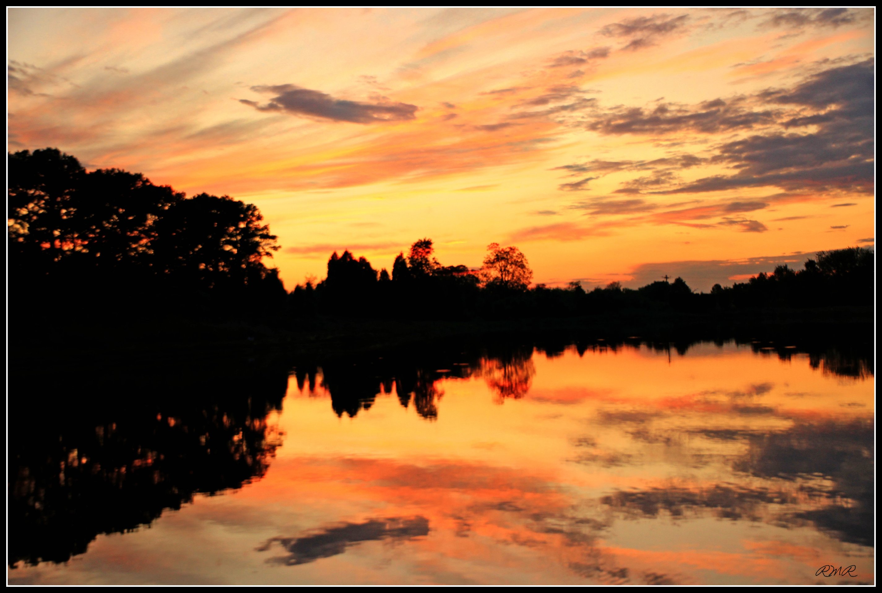
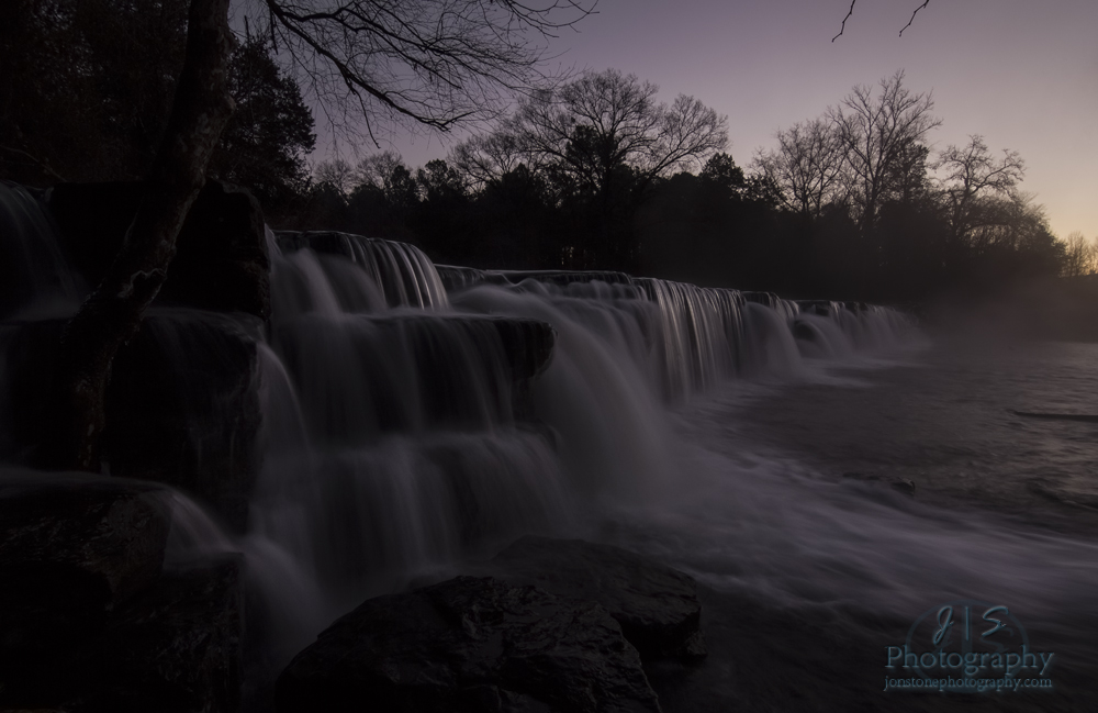
Falls at Sunset

The Way Back at Lee Creek Reservoir
Natural Dam at sunrise
Natural Dam before sunrise

Natural Dam at Sunrise
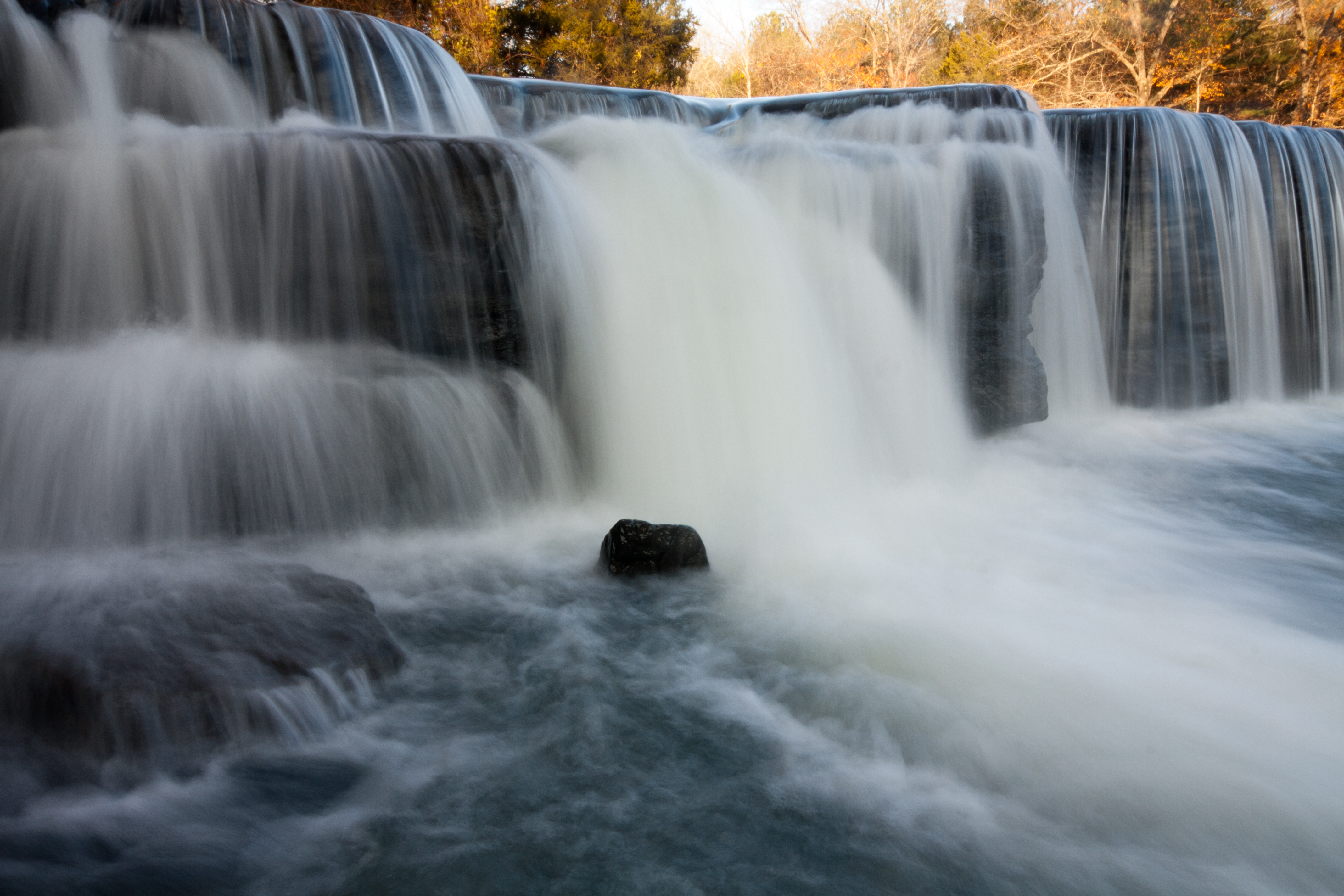
Natural Dam
Cedarville Township, AR, USA Karte
Suchen Sie einen anderen Ort
Orte in Cedarville Township, AR, USA
Nahe Plätze
Cedarville, Arkansas, USA
AR-59, Cedarville, AR, USA
Uniontown Township, AR, USA
Peaceful Home Rd, Natural Dam, AR, USA
Natural Dam, AR, USA
Uniontown Hwy, Van Buren, AR, USA
Crawford County, Arkansas, USA
Hobbtown Rd, Rudy, AR, USA
Biswell Rd, Van Buren, AR, USA
Oliver Springs Township, AR, USA
Pine Hollow Rd, Van Buren, AR, USA
Cedar Creek Township, AR, USA
Lees Creek Township, AR, USA
Kristi Ln, Van Buren, AR, USA
Old 81 Loop, Rudy, AR, USA
Bond Special Rd, Van Buren, AR, USA
Rudy, Arkansas, USA
Old Rudy Rd, Alma, AR, USA
Somerset Way, Van Buren, AR, USA
Azure Hills Dr, Van Buren, AR, USA
Letzte Suche
- Red Dog Mine, AK, USA Sonnenaufgang Sonnenuntergang Zeiten
- Am Bahnhof, Am bhf, Borken, Germany Sonnenaufgang Sonnenuntergang Zeiten
- 4th St E, Sonoma, CA, USA Sonnenaufgang Sonnenuntergang Zeiten
- Oakland Ave, Williamsport, PA, USA Sonnenaufgang Sonnenuntergang Zeiten
- Via Roma, Pieranica CR, Italien Sonnenaufgang Sonnenuntergang Zeiten
- Glockenturm, Grad, Dubrovnik, Kroatien Sonnenaufgang Sonnenuntergang Zeiten
- Trelew, Chubut Province, Argentina Sonnenaufgang Sonnenuntergang Zeiten
- Hartfords Bluff Cir, Mt Pleasant, SC, USA Sonnenaufgang Sonnenuntergang Zeiten
- Kita-ku, Kumamoto, Präfektur Kumamoto, Japan Sonnenaufgang Sonnenuntergang Zeiten
- Pingtan Island, Pingtan County, Fuzhou, China Sonnenaufgang Sonnenuntergang Zeiten