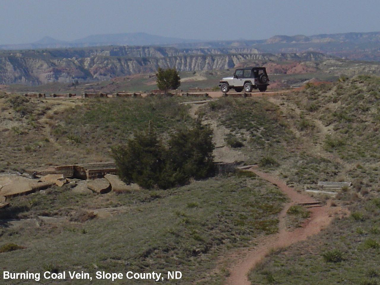
Burning Coal Vein Campground, E River Rd, Medora, ND, USA Sonnenaufgang Sonnenuntergang Zeiten
Location: USA > Norddakota > Slope County >
Zeitzone:
America/Denver
Ortszeit:
2025-07-06 08:37:34
Länge:
-103.443985
Breite:
46.597812
Sonnenaufgang Heute:
05:08:22 AM
Sonnenuntergang Heute:
08:49:00 PM
Tageslänge heute:
15h 40m 38s
Sonnenaufgang morgen:
05:09:09 AM
Sonnenuntergang Morgen:
08:48:32 PM
Tageslänge von morgen:
15h 39m 23s
Alle Termine anzeigen
| Datum | Sonnenaufgang | Sonnenuntergang | Tageslänge |
|---|---|---|---|
| 2025-01-01 | 07:37:50 AM | 04:18:05 PM | 8h 40m 15s |
| 2025-01-02 | 07:37:45 AM | 04:19:05 PM | 8h 41m 20s |
| 2025-01-03 | 07:37:38 AM | 04:20:06 PM | 8h 42m 28s |
| 2025-01-04 | 07:37:28 AM | 04:21:10 PM | 8h 43m 42s |
| 2025-01-05 | 07:37:15 AM | 04:22:15 PM | 8h 45m 0s |
| 2025-01-06 | 07:36:59 AM | 04:23:23 PM | 8h 46m 24s |
| 2025-01-07 | 07:36:41 AM | 04:24:32 PM | 8h 47m 51s |
| 2025-01-08 | 07:36:20 AM | 04:25:42 PM | 8h 49m 22s |
| 2025-01-09 | 07:35:56 AM | 04:26:54 PM | 8h 50m 58s |
| 2025-01-10 | 07:35:30 AM | 04:28:08 PM | 8h 52m 38s |
| 2025-01-11 | 07:35:01 AM | 04:29:23 PM | 8h 54m 22s |
| 2025-01-12 | 07:34:29 AM | 04:30:40 PM | 8h 56m 11s |
| 2025-01-13 | 07:33:55 AM | 04:31:57 PM | 8h 58m 2s |
| 2025-01-14 | 07:33:18 AM | 04:33:16 PM | 8h 59m 58s |
| 2025-01-15 | 07:32:39 AM | 04:34:36 PM | 9h 1m 57s |
| 2025-01-16 | 07:31:57 AM | 04:35:58 PM | 9h 4m 1s |
| 2025-01-17 | 07:31:13 AM | 04:37:20 PM | 9h 6m 7s |
| 2025-01-18 | 07:30:26 AM | 04:38:43 PM | 9h 8m 17s |
| 2025-01-19 | 07:29:37 AM | 04:40:07 PM | 9h 10m 30s |
| 2025-01-20 | 07:28:46 AM | 04:41:32 PM | 9h 12m 46s |
| 2025-01-21 | 07:27:52 AM | 04:42:58 PM | 9h 15m 6s |
| 2025-01-22 | 07:26:56 AM | 04:44:25 PM | 9h 17m 29s |
| 2025-01-23 | 07:25:58 AM | 04:45:52 PM | 9h 19m 54s |
| 2025-01-24 | 07:24:58 AM | 04:47:20 PM | 9h 22m 22s |
| 2025-01-25 | 07:23:55 AM | 04:48:48 PM | 9h 24m 53s |
| 2025-01-26 | 07:22:51 AM | 04:50:17 PM | 9h 27m 26s |
| 2025-01-27 | 07:21:44 AM | 04:51:46 PM | 9h 30m 2s |
| 2025-01-28 | 07:20:35 AM | 04:53:16 PM | 9h 32m 41s |
| 2025-01-29 | 07:19:24 AM | 04:54:46 PM | 9h 35m 22s |
| 2025-01-30 | 07:18:12 AM | 04:56:16 PM | 9h 38m 4s |
| 2025-01-31 | 07:16:57 AM | 04:57:47 PM | 9h 40m 50s |
| 2025-02-01 | 07:15:41 AM | 04:59:17 PM | 9h 43m 36s |
| 2025-02-02 | 07:14:23 AM | 05:00:48 PM | 9h 46m 25s |
| 2025-02-03 | 07:13:03 AM | 05:02:19 PM | 9h 49m 16s |
| 2025-02-04 | 07:11:41 AM | 05:03:50 PM | 9h 52m 9s |
| 2025-02-05 | 07:10:18 AM | 05:05:22 PM | 9h 55m 4s |
| 2025-02-06 | 07:08:53 AM | 05:06:53 PM | 9h 58m 0s |
| 2025-02-07 | 07:07:27 AM | 05:08:24 PM | 10h 0m 57s |
| 2025-02-08 | 07:05:59 AM | 05:09:55 PM | 10h 3m 56s |
| 2025-02-09 | 07:04:29 AM | 05:11:26 PM | 10h 6m 57s |
| 2025-02-10 | 07:02:58 AM | 05:12:57 PM | 10h 9m 59s |
| 2025-02-11 | 07:01:26 AM | 05:14:28 PM | 10h 13m 2s |
| 2025-02-12 | 06:59:52 AM | 05:15:59 PM | 10h 16m 7s |
| 2025-02-13 | 06:58:17 AM | 05:17:30 PM | 10h 19m 13s |
| 2025-02-14 | 06:56:41 AM | 05:19:00 PM | 10h 22m 19s |
| 2025-02-15 | 06:55:03 AM | 05:20:30 PM | 10h 25m 27s |
| 2025-02-16 | 06:53:24 AM | 05:22:01 PM | 10h 28m 37s |
| 2025-02-17 | 06:51:44 AM | 05:23:30 PM | 10h 31m 46s |
| 2025-02-18 | 06:50:03 AM | 05:25:00 PM | 10h 34m 57s |
| 2025-02-19 | 06:48:21 AM | 05:26:29 PM | 10h 38m 8s |
| 2025-02-20 | 06:46:38 AM | 05:27:59 PM | 10h 41m 21s |
| 2025-02-21 | 06:44:54 AM | 05:29:27 PM | 10h 44m 33s |
| 2025-02-22 | 06:43:09 AM | 05:30:56 PM | 10h 47m 47s |
| 2025-02-23 | 06:41:23 AM | 05:32:24 PM | 10h 51m 1s |
| 2025-02-24 | 06:39:36 AM | 05:33:52 PM | 10h 54m 16s |
| 2025-02-25 | 06:37:48 AM | 05:35:20 PM | 10h 57m 32s |
| 2025-02-26 | 06:35:59 AM | 05:36:48 PM | 11h 0m 49s |
| 2025-02-27 | 06:34:10 AM | 05:38:15 PM | 11h 4m 5s |
| 2025-02-28 | 06:32:19 AM | 05:39:42 PM | 11h 7m 23s |
| 2025-03-01 | 06:30:29 AM | 05:41:09 PM | 11h 10m 40s |
| 2025-03-02 | 06:28:37 AM | 05:42:35 PM | 11h 13m 58s |
| 2025-03-03 | 06:26:45 AM | 05:44:01 PM | 11h 17m 16s |
| 2025-03-04 | 06:24:52 AM | 05:45:27 PM | 11h 20m 35s |
| 2025-03-05 | 06:22:58 AM | 05:46:53 PM | 11h 23m 55s |
| 2025-03-06 | 06:21:04 AM | 05:48:18 PM | 11h 27m 14s |
| 2025-03-07 | 06:19:10 AM | 05:49:43 PM | 11h 30m 33s |
| 2025-03-08 | 06:17:15 AM | 05:51:08 PM | 11h 33m 53s |
| 2025-03-09 | 07:15:25 AM | 06:52:29 PM | 11h 37m 4s |
| 2025-03-10 | 07:13:29 AM | 06:53:53 PM | 11h 40m 24s |
| 2025-03-11 | 07:11:33 AM | 06:55:17 PM | 11h 43m 44s |
| 2025-03-12 | 07:09:36 AM | 06:56:41 PM | 11h 47m 5s |
| 2025-03-13 | 07:07:39 AM | 06:58:05 PM | 11h 50m 26s |
| 2025-03-14 | 07:05:42 AM | 06:59:28 PM | 11h 53m 46s |
| 2025-03-15 | 07:03:45 AM | 07:00:52 PM | 11h 57m 7s |
| 2025-03-16 | 07:01:47 AM | 07:02:15 PM | 12h 0m 28s |
| 2025-03-17 | 06:59:50 AM | 07:03:38 PM | 12h 3m 48s |
| 2025-03-18 | 06:57:52 AM | 07:05:01 PM | 12h 7m 9s |
| 2025-03-19 | 06:55:54 AM | 07:06:23 PM | 12h 10m 29s |
| 2025-03-20 | 06:53:56 AM | 07:07:46 PM | 12h 13m 50s |
| 2025-03-21 | 06:51:58 AM | 07:09:08 PM | 12h 17m 10s |
| 2025-03-22 | 06:49:59 AM | 07:10:30 PM | 12h 20m 31s |
| 2025-03-23 | 06:48:01 AM | 07:11:52 PM | 12h 23m 51s |
| 2025-03-24 | 06:46:03 AM | 07:13:14 PM | 12h 27m 11s |
| 2025-03-25 | 06:44:05 AM | 07:14:36 PM | 12h 30m 31s |
| 2025-03-26 | 06:42:07 AM | 07:15:58 PM | 12h 33m 51s |
| 2025-03-27 | 06:40:09 AM | 07:17:19 PM | 12h 37m 10s |
| 2025-03-28 | 06:38:11 AM | 07:18:41 PM | 12h 40m 30s |
| 2025-03-29 | 06:36:14 AM | 07:20:03 PM | 12h 43m 49s |
| 2025-03-30 | 06:34:17 AM | 07:21:24 PM | 12h 47m 7s |
| 2025-03-31 | 06:32:20 AM | 07:22:46 PM | 12h 50m 26s |
| 2025-04-01 | 06:30:23 AM | 07:24:07 PM | 12h 53m 44s |
| 2025-04-02 | 06:28:26 AM | 07:25:28 PM | 12h 57m 2s |
| 2025-04-03 | 06:26:30 AM | 07:26:50 PM | 13h 0m 20s |
| 2025-04-04 | 06:24:35 AM | 07:28:11 PM | 13h 3m 36s |
| 2025-04-05 | 06:22:39 AM | 07:29:32 PM | 13h 6m 53s |
| 2025-04-06 | 06:20:44 AM | 07:30:53 PM | 13h 10m 9s |
| 2025-04-07 | 06:18:50 AM | 07:32:15 PM | 13h 13m 25s |
| 2025-04-08 | 06:16:56 AM | 07:33:36 PM | 13h 16m 40s |
| 2025-04-09 | 06:15:03 AM | 07:34:57 PM | 13h 19m 54s |
| 2025-04-10 | 06:13:10 AM | 07:36:18 PM | 13h 23m 8s |
| 2025-04-11 | 06:11:18 AM | 07:37:40 PM | 13h 26m 22s |
| 2025-04-12 | 06:09:26 AM | 07:39:01 PM | 13h 29m 35s |
| 2025-04-13 | 06:07:35 AM | 07:40:22 PM | 13h 32m 47s |
| 2025-04-14 | 06:05:45 AM | 07:41:43 PM | 13h 35m 58s |
| 2025-04-15 | 06:03:56 AM | 07:43:04 PM | 13h 39m 8s |
| 2025-04-16 | 06:02:07 AM | 07:44:26 PM | 13h 42m 19s |
| 2025-04-17 | 06:00:19 AM | 07:45:47 PM | 13h 45m 28s |
| 2025-04-18 | 05:58:32 AM | 07:47:08 PM | 13h 48m 36s |
| 2025-04-19 | 05:56:46 AM | 07:48:29 PM | 13h 51m 43s |
| 2025-04-20 | 05:55:01 AM | 07:49:50 PM | 13h 54m 49s |
| 2025-04-21 | 05:53:16 AM | 07:51:11 PM | 13h 57m 55s |
| 2025-04-22 | 05:51:33 AM | 07:52:32 PM | 14h 0m 59s |
| 2025-04-23 | 05:49:51 AM | 07:53:52 PM | 14h 4m 1s |
| 2025-04-24 | 05:48:10 AM | 07:55:13 PM | 14h 7m 3s |
| 2025-04-25 | 05:46:30 AM | 07:56:34 PM | 14h 10m 4s |
| 2025-04-26 | 05:44:51 AM | 07:57:54 PM | 14h 13m 3s |
| 2025-04-27 | 05:43:13 AM | 07:59:14 PM | 14h 16m 1s |
| 2025-04-28 | 05:41:36 AM | 08:00:34 PM | 14h 18m 58s |
| 2025-04-29 | 05:40:01 AM | 08:01:54 PM | 14h 21m 53s |
| 2025-04-30 | 05:38:27 AM | 08:03:14 PM | 14h 24m 47s |
| 2025-05-01 | 05:36:54 AM | 08:04:33 PM | 14h 27m 39s |
| 2025-05-02 | 05:35:22 AM | 08:05:53 PM | 14h 30m 31s |
| 2025-05-03 | 05:33:52 AM | 08:07:12 PM | 14h 33m 20s |
| 2025-05-04 | 05:32:24 AM | 08:08:30 PM | 14h 36m 6s |
| 2025-05-05 | 05:30:57 AM | 08:09:48 PM | 14h 38m 51s |
| 2025-05-06 | 05:29:31 AM | 08:11:06 PM | 14h 41m 35s |
| 2025-05-07 | 05:28:07 AM | 08:12:24 PM | 14h 44m 17s |
| 2025-05-08 | 05:26:45 AM | 08:13:41 PM | 14h 46m 56s |
| 2025-05-09 | 05:25:24 AM | 08:14:57 PM | 14h 49m 33s |
| 2025-05-10 | 05:24:05 AM | 08:16:13 PM | 14h 52m 8s |
| 2025-05-11 | 05:22:47 AM | 08:17:29 PM | 14h 54m 42s |
| 2025-05-12 | 05:21:31 AM | 08:18:43 PM | 14h 57m 12s |
| 2025-05-13 | 05:20:18 AM | 08:19:58 PM | 14h 59m 40s |
| 2025-05-14 | 05:19:05 AM | 08:21:11 PM | 15h 2m 6s |
| 2025-05-15 | 05:17:55 AM | 08:22:24 PM | 15h 4m 29s |
| 2025-05-16 | 05:16:47 AM | 08:23:36 PM | 15h 6m 49s |
| 2025-05-17 | 05:15:40 AM | 08:24:47 PM | 15h 9m 7s |
| 2025-05-18 | 05:14:36 AM | 08:25:57 PM | 15h 11m 21s |
| 2025-05-19 | 05:13:33 AM | 08:27:07 PM | 15h 13m 34s |
| 2025-05-20 | 05:12:33 AM | 08:28:15 PM | 15h 15m 42s |
| 2025-05-21 | 05:11:35 AM | 08:29:22 PM | 15h 17m 47s |
| 2025-05-22 | 05:10:39 AM | 08:30:29 PM | 15h 19m 50s |
| 2025-05-23 | 05:09:44 AM | 08:31:34 PM | 15h 21m 50s |
| 2025-05-24 | 05:08:53 AM | 08:32:38 PM | 15h 23m 45s |
| 2025-05-25 | 05:08:03 AM | 08:33:41 PM | 15h 25m 38s |
| 2025-05-26 | 05:07:15 AM | 08:34:42 PM | 15h 27m 27s |
| 2025-05-27 | 05:06:30 AM | 08:35:42 PM | 15h 29m 12s |
| 2025-05-28 | 05:05:47 AM | 08:36:41 PM | 15h 30m 54s |
| 2025-05-29 | 05:05:07 AM | 08:37:39 PM | 15h 32m 32s |
| 2025-05-30 | 05:04:28 AM | 08:38:34 PM | 15h 34m 6s |
| 2025-05-31 | 05:03:52 AM | 08:39:29 PM | 15h 35m 37s |
| 2025-06-01 | 05:03:19 AM | 08:40:21 PM | 15h 37m 2s |
| 2025-06-02 | 05:02:48 AM | 08:41:12 PM | 15h 38m 24s |
| 2025-06-03 | 05:02:19 AM | 08:42:02 PM | 15h 39m 43s |
| 2025-06-04 | 05:01:53 AM | 08:42:49 PM | 15h 40m 56s |
| 2025-06-05 | 05:01:29 AM | 08:43:35 PM | 15h 42m 6s |
| 2025-06-06 | 05:01:08 AM | 08:44:19 PM | 15h 43m 11s |
| 2025-06-07 | 05:00:49 AM | 08:45:01 PM | 15h 44m 12s |
| 2025-06-08 | 05:00:32 AM | 08:45:41 PM | 15h 45m 9s |
| 2025-06-09 | 05:00:18 AM | 08:46:18 PM | 15h 46m 0s |
| 2025-06-10 | 05:00:07 AM | 08:46:54 PM | 15h 46m 47s |
| 2025-06-11 | 04:59:58 AM | 08:47:28 PM | 15h 47m 30s |
| 2025-06-12 | 04:59:51 AM | 08:48:00 PM | 15h 48m 9s |
| 2025-06-13 | 04:59:47 AM | 08:48:29 PM | 15h 48m 42s |
| 2025-06-14 | 04:59:46 AM | 08:48:56 PM | 15h 49m 10s |
| 2025-06-15 | 04:59:47 AM | 08:49:21 PM | 15h 49m 34s |
| 2025-06-16 | 04:59:50 AM | 08:49:44 PM | 15h 49m 54s |
| 2025-06-17 | 04:59:56 AM | 08:50:05 PM | 15h 50m 9s |
| 2025-06-18 | 05:00:04 AM | 08:50:23 PM | 15h 50m 19s |
| 2025-06-19 | 05:00:14 AM | 08:50:38 PM | 15h 50m 24s |
| 2025-06-20 | 05:00:27 AM | 08:50:51 PM | 15h 50m 24s |
| 2025-06-21 | 05:00:42 AM | 08:51:02 PM | 15h 50m 20s |
| 2025-06-22 | 05:01:00 AM | 08:51:10 PM | 15h 50m 10s |
| 2025-06-23 | 05:01:20 AM | 08:51:16 PM | 15h 49m 56s |
| 2025-06-24 | 05:01:42 AM | 08:51:20 PM | 15h 49m 38s |
| 2025-06-25 | 05:02:06 AM | 08:51:21 PM | 15h 49m 15s |
| 2025-06-26 | 05:02:33 AM | 08:51:19 PM | 15h 48m 46s |
| 2025-06-27 | 05:03:02 AM | 08:51:15 PM | 15h 48m 13s |
| 2025-06-28 | 05:03:32 AM | 08:51:08 PM | 15h 47m 36s |
| 2025-06-29 | 05:04:05 AM | 08:50:59 PM | 15h 46m 54s |
| 2025-06-30 | 05:04:40 AM | 08:50:47 PM | 15h 46m 7s |
| 2025-07-01 | 05:05:17 AM | 08:50:33 PM | 15h 45m 16s |
| 2025-07-02 | 05:05:56 AM | 08:50:16 PM | 15h 44m 20s |
| 2025-07-03 | 05:06:37 AM | 08:49:57 PM | 15h 43m 20s |
| 2025-07-04 | 05:07:19 AM | 08:49:35 PM | 15h 42m 16s |
| 2025-07-05 | 05:08:04 AM | 08:49:11 PM | 15h 41m 7s |
| 2025-07-06 | 05:08:50 AM | 08:48:44 PM | 15h 39m 54s |
| 2025-07-07 | 05:09:37 AM | 08:48:15 PM | 15h 38m 38s |
| 2025-07-08 | 05:10:27 AM | 08:47:43 PM | 15h 37m 16s |
| 2025-07-09 | 05:11:18 AM | 08:47:09 PM | 15h 35m 51s |
| 2025-07-10 | 05:12:10 AM | 08:46:33 PM | 15h 34m 23s |
| 2025-07-11 | 05:13:04 AM | 08:45:54 PM | 15h 32m 50s |
| 2025-07-12 | 05:14:00 AM | 08:45:12 PM | 15h 31m 12s |
| 2025-07-13 | 05:14:56 AM | 08:44:29 PM | 15h 29m 33s |
| 2025-07-14 | 05:15:55 AM | 08:43:43 PM | 15h 27m 48s |
| 2025-07-15 | 05:16:54 AM | 08:42:55 PM | 15h 26m 1s |
| 2025-07-16 | 05:17:54 AM | 08:42:04 PM | 15h 24m 10s |
| 2025-07-17 | 05:18:56 AM | 08:41:12 PM | 15h 22m 16s |
| 2025-07-18 | 05:19:59 AM | 08:40:17 PM | 15h 20m 18s |
| 2025-07-19 | 05:21:03 AM | 08:39:20 PM | 15h 18m 17s |
| 2025-07-20 | 05:22:08 AM | 08:38:21 PM | 15h 16m 13s |
| 2025-07-21 | 05:23:14 AM | 08:37:19 PM | 15h 14m 5s |
| 2025-07-22 | 05:24:20 AM | 08:36:16 PM | 15h 11m 56s |
| 2025-07-23 | 05:25:28 AM | 08:35:11 PM | 15h 9m 43s |
| 2025-07-24 | 05:26:36 AM | 08:34:03 PM | 15h 7m 27s |
| 2025-07-25 | 05:27:45 AM | 08:32:54 PM | 15h 5m 9s |
| 2025-07-26 | 05:28:55 AM | 08:31:43 PM | 15h 2m 48s |
| 2025-07-27 | 05:30:06 AM | 08:30:30 PM | 15h 0m 24s |
| 2025-07-28 | 05:31:17 AM | 08:29:15 PM | 14h 57m 58s |
| 2025-07-29 | 05:32:29 AM | 08:27:58 PM | 14h 55m 29s |
| 2025-07-30 | 05:33:41 AM | 08:26:40 PM | 14h 52m 59s |
| 2025-07-31 | 05:34:53 AM | 08:25:20 PM | 14h 50m 27s |
| 2025-08-01 | 05:36:07 AM | 08:23:58 PM | 14h 47m 51s |
| 2025-08-02 | 05:37:20 AM | 08:22:34 PM | 14h 45m 14s |
| 2025-08-03 | 05:38:34 AM | 08:21:09 PM | 14h 42m 35s |
| 2025-08-04 | 05:39:49 AM | 08:19:43 PM | 14h 39m 54s |
| 2025-08-05 | 05:41:03 AM | 08:18:15 PM | 14h 37m 12s |
| 2025-08-06 | 05:42:18 AM | 08:16:45 PM | 14h 34m 27s |
| 2025-08-07 | 05:43:34 AM | 08:15:14 PM | 14h 31m 40s |
| 2025-08-08 | 05:44:49 AM | 08:13:41 PM | 14h 28m 52s |
| 2025-08-09 | 05:46:05 AM | 08:12:08 PM | 14h 26m 3s |
| 2025-08-10 | 05:47:21 AM | 08:10:32 PM | 14h 23m 11s |
| 2025-08-11 | 05:48:37 AM | 08:08:56 PM | 14h 20m 19s |
| 2025-08-12 | 05:49:53 AM | 08:07:18 PM | 14h 17m 25s |
| 2025-08-13 | 05:51:10 AM | 08:05:39 PM | 14h 14m 29s |
| 2025-08-14 | 05:52:26 AM | 08:03:59 PM | 14h 11m 33s |
| 2025-08-15 | 05:53:43 AM | 08:02:18 PM | 14h 8m 35s |
| 2025-08-16 | 05:54:59 AM | 08:00:35 PM | 14h 5m 36s |
| 2025-08-17 | 05:56:16 AM | 07:58:52 PM | 14h 2m 36s |
| 2025-08-18 | 05:57:33 AM | 07:57:08 PM | 13h 59m 35s |
| 2025-08-19 | 05:58:49 AM | 07:55:22 PM | 13h 56m 33s |
| 2025-08-20 | 06:00:06 AM | 07:53:36 PM | 13h 53m 30s |
| 2025-08-21 | 06:01:23 AM | 07:51:48 PM | 13h 50m 25s |
| 2025-08-22 | 06:02:40 AM | 07:50:00 PM | 13h 47m 20s |
| 2025-08-23 | 06:03:57 AM | 07:48:11 PM | 13h 44m 14s |
| 2025-08-24 | 06:05:13 AM | 07:46:21 PM | 13h 41m 8s |
| 2025-08-25 | 06:06:30 AM | 07:44:30 PM | 13h 38m 0s |
| 2025-08-26 | 06:07:47 AM | 07:42:39 PM | 13h 34m 52s |
| 2025-08-27 | 06:09:04 AM | 07:40:47 PM | 13h 31m 43s |
| 2025-08-28 | 06:10:20 AM | 07:38:54 PM | 13h 28m 34s |
| 2025-08-29 | 06:11:37 AM | 07:37:00 PM | 13h 25m 23s |
| 2025-08-30 | 06:12:54 AM | 07:35:06 PM | 13h 22m 12s |
| 2025-08-31 | 06:14:10 AM | 07:33:11 PM | 13h 19m 1s |
| 2025-09-01 | 06:15:27 AM | 07:31:16 PM | 13h 15m 49s |
| 2025-09-02 | 06:16:44 AM | 07:29:20 PM | 13h 12m 36s |
| 2025-09-03 | 06:18:00 AM | 07:27:24 PM | 13h 9m 24s |
| 2025-09-04 | 06:19:17 AM | 07:25:27 PM | 13h 6m 10s |
| 2025-09-05 | 06:20:33 AM | 07:23:30 PM | 13h 2m 57s |
| 2025-09-06 | 06:21:50 AM | 07:21:32 PM | 12h 59m 42s |
| 2025-09-07 | 06:23:07 AM | 07:19:34 PM | 12h 56m 27s |
| 2025-09-08 | 06:24:23 AM | 07:17:36 PM | 12h 53m 13s |
| 2025-09-09 | 06:25:40 AM | 07:15:38 PM | 12h 49m 58s |
| 2025-09-10 | 06:26:57 AM | 07:13:39 PM | 12h 46m 42s |
| 2025-09-11 | 06:28:13 AM | 07:11:40 PM | 12h 43m 27s |
| 2025-09-12 | 06:29:30 AM | 07:09:40 PM | 12h 40m 10s |
| 2025-09-13 | 06:30:47 AM | 07:07:41 PM | 12h 36m 54s |
| 2025-09-14 | 06:32:04 AM | 07:05:41 PM | 12h 33m 37s |
| 2025-09-15 | 06:33:20 AM | 07:03:41 PM | 12h 30m 21s |
| 2025-09-16 | 06:34:37 AM | 07:01:41 PM | 12h 27m 4s |
| 2025-09-17 | 06:35:55 AM | 06:59:41 PM | 12h 23m 46s |
| 2025-09-18 | 06:37:12 AM | 06:57:41 PM | 12h 20m 29s |
| 2025-09-19 | 06:38:29 AM | 06:55:41 PM | 12h 17m 12s |
| 2025-09-20 | 06:39:46 AM | 06:53:41 PM | 12h 13m 55s |
| 2025-09-21 | 06:41:04 AM | 06:51:42 PM | 12h 10m 38s |
| 2025-09-22 | 06:42:22 AM | 06:49:42 PM | 12h 7m 20s |
| 2025-09-23 | 06:43:40 AM | 06:47:42 PM | 12h 4m 2s |
| 2025-09-24 | 06:44:58 AM | 06:45:42 PM | 12h 0m 44s |
| 2025-09-25 | 06:46:16 AM | 06:43:43 PM | 11h 57m 27s |
| 2025-09-26 | 06:47:34 AM | 06:41:44 PM | 11h 54m 10s |
| 2025-09-27 | 06:48:53 AM | 06:39:45 PM | 11h 50m 52s |
| 2025-09-28 | 06:50:11 AM | 06:37:46 PM | 11h 47m 35s |
| 2025-09-29 | 06:51:30 AM | 06:35:48 PM | 11h 44m 18s |
| 2025-09-30 | 06:52:50 AM | 06:33:50 PM | 11h 41m 0s |
| 2025-10-01 | 06:54:09 AM | 06:31:52 PM | 11h 37m 43s |
| 2025-10-02 | 06:55:29 AM | 06:29:55 PM | 11h 34m 26s |
| 2025-10-03 | 06:56:49 AM | 06:27:58 PM | 11h 31m 9s |
| 2025-10-04 | 06:58:09 AM | 06:26:02 PM | 11h 27m 53s |
| 2025-10-05 | 06:59:29 AM | 06:24:06 PM | 11h 24m 37s |
| 2025-10-06 | 07:00:50 AM | 06:22:10 PM | 11h 21m 20s |
| 2025-10-07 | 07:02:11 AM | 06:20:16 PM | 11h 18m 5s |
| 2025-10-08 | 07:03:33 AM | 06:18:21 PM | 11h 14m 48s |
| 2025-10-09 | 07:04:54 AM | 06:16:28 PM | 11h 11m 34s |
| 2025-10-10 | 07:06:16 AM | 06:14:35 PM | 11h 8m 19s |
| 2025-10-11 | 07:07:38 AM | 06:12:43 PM | 11h 5m 5s |
| 2025-10-12 | 07:09:01 AM | 06:10:51 PM | 11h 1m 50s |
| 2025-10-13 | 07:10:24 AM | 06:09:00 PM | 10h 58m 36s |
| 2025-10-14 | 07:11:47 AM | 06:07:11 PM | 10h 55m 24s |
| 2025-10-15 | 07:13:10 AM | 06:05:21 PM | 10h 52m 11s |
| 2025-10-16 | 07:14:34 AM | 06:03:33 PM | 10h 48m 59s |
| 2025-10-17 | 07:15:58 AM | 06:01:46 PM | 10h 45m 48s |
| 2025-10-18 | 07:17:22 AM | 05:59:59 PM | 10h 42m 37s |
| 2025-10-19 | 07:18:47 AM | 05:58:14 PM | 10h 39m 27s |
| 2025-10-20 | 07:20:12 AM | 05:56:30 PM | 10h 36m 18s |
| 2025-10-21 | 07:21:37 AM | 05:54:46 PM | 10h 33m 9s |
| 2025-10-22 | 07:23:02 AM | 05:53:04 PM | 10h 30m 2s |
| 2025-10-23 | 07:24:28 AM | 05:51:23 PM | 10h 26m 55s |
| 2025-10-24 | 07:25:54 AM | 05:49:43 PM | 10h 23m 49s |
| 2025-10-25 | 07:27:20 AM | 05:48:04 PM | 10h 20m 44s |
| 2025-10-26 | 07:28:47 AM | 05:46:27 PM | 10h 17m 40s |
| 2025-10-27 | 07:30:13 AM | 05:44:51 PM | 10h 14m 38s |
| 2025-10-28 | 07:31:40 AM | 05:43:16 PM | 10h 11m 36s |
| 2025-10-29 | 07:33:07 AM | 05:41:42 PM | 10h 8m 35s |
| 2025-10-30 | 07:34:34 AM | 05:40:10 PM | 10h 5m 36s |
| 2025-10-31 | 07:36:01 AM | 05:38:40 PM | 10h 2m 39s |
| 2025-11-01 | 07:37:29 AM | 05:37:10 PM | 9h 59m 41s |
| 2025-11-02 | 06:39:00 AM | 04:35:39 PM | 9h 56m 39s |
| 2025-11-03 | 06:40:27 AM | 04:34:13 PM | 9h 53m 46s |
| 2025-11-04 | 06:41:55 AM | 04:32:49 PM | 9h 50m 54s |
| 2025-11-05 | 06:43:22 AM | 04:31:27 PM | 9h 48m 5s |
| 2025-11-06 | 06:44:50 AM | 04:30:06 PM | 9h 45m 16s |
| 2025-11-07 | 06:46:17 AM | 04:28:47 PM | 9h 42m 30s |
| 2025-11-08 | 06:47:45 AM | 04:27:29 PM | 9h 39m 44s |
| 2025-11-09 | 06:49:12 AM | 04:26:14 PM | 9h 37m 2s |
| 2025-11-10 | 06:50:39 AM | 04:25:00 PM | 9h 34m 21s |
| 2025-11-11 | 06:52:05 AM | 04:23:49 PM | 9h 31m 44s |
| 2025-11-12 | 06:53:32 AM | 04:22:39 PM | 9h 29m 7s |
| 2025-11-13 | 06:54:58 AM | 04:21:32 PM | 9h 26m 34s |
| 2025-11-14 | 06:56:23 AM | 04:20:26 PM | 9h 24m 3s |
| 2025-11-15 | 06:57:49 AM | 04:19:23 PM | 9h 21m 34s |
| 2025-11-16 | 06:59:13 AM | 04:18:21 PM | 9h 19m 8s |
| 2025-11-17 | 07:00:37 AM | 04:17:22 PM | 9h 16m 45s |
| 2025-11-18 | 07:02:01 AM | 04:16:26 PM | 9h 14m 25s |
| 2025-11-19 | 07:03:24 AM | 04:15:31 PM | 9h 12m 7s |
| 2025-11-20 | 07:04:46 AM | 04:14:39 PM | 9h 9m 53s |
| 2025-11-21 | 07:06:08 AM | 04:13:49 PM | 9h 7m 41s |
| 2025-11-22 | 07:07:28 AM | 04:13:02 PM | 9h 5m 34s |
| 2025-11-23 | 07:08:48 AM | 04:12:17 PM | 9h 3m 29s |
| 2025-11-24 | 07:10:07 AM | 04:11:34 PM | 9h 1m 27s |
| 2025-11-25 | 07:11:25 AM | 04:10:54 PM | 8h 59m 29s |
| 2025-11-26 | 07:12:42 AM | 04:10:17 PM | 8h 57m 35s |
| 2025-11-27 | 07:13:57 AM | 04:09:42 PM | 8h 55m 45s |
| 2025-11-28 | 07:15:11 AM | 04:09:10 PM | 8h 53m 59s |
| 2025-11-29 | 07:16:24 AM | 04:08:40 PM | 8h 52m 16s |
| 2025-11-30 | 07:17:36 AM | 04:08:13 PM | 8h 50m 37s |
| 2025-12-01 | 07:18:46 AM | 04:07:49 PM | 8h 49m 3s |
| 2025-12-02 | 07:19:55 AM | 04:07:27 PM | 8h 47m 32s |
| 2025-12-03 | 07:21:02 AM | 04:07:08 PM | 8h 46m 6s |
| 2025-12-04 | 07:22:08 AM | 04:06:52 PM | 8h 44m 44s |
| 2025-12-05 | 07:23:12 AM | 04:06:39 PM | 8h 43m 27s |
| 2025-12-06 | 07:24:14 AM | 04:06:29 PM | 8h 42m 15s |
| 2025-12-07 | 07:25:14 AM | 04:06:21 PM | 8h 41m 7s |
| 2025-12-08 | 07:26:12 AM | 04:06:16 PM | 8h 40m 4s |
| 2025-12-09 | 07:27:09 AM | 04:06:14 PM | 8h 39m 5s |
| 2025-12-10 | 07:28:03 AM | 04:06:15 PM | 8h 38m 12s |
| 2025-12-11 | 07:28:56 AM | 04:06:18 PM | 8h 37m 22s |
| 2025-12-12 | 07:29:46 AM | 04:06:25 PM | 8h 36m 39s |
| 2025-12-13 | 07:30:34 AM | 04:06:34 PM | 8h 36m 0s |
| 2025-12-14 | 07:31:19 AM | 04:06:46 PM | 8h 35m 27s |
| 2025-12-15 | 07:32:03 AM | 04:07:01 PM | 8h 34m 58s |
| 2025-12-16 | 07:32:44 AM | 04:07:18 PM | 8h 34m 34s |
| 2025-12-17 | 07:33:23 AM | 04:07:39 PM | 8h 34m 16s |
| 2025-12-18 | 07:33:59 AM | 04:08:02 PM | 8h 34m 3s |
| 2025-12-19 | 07:34:33 AM | 04:08:27 PM | 8h 33m 54s |
| 2025-12-20 | 07:35:04 AM | 04:08:56 PM | 8h 33m 52s |
| 2025-12-21 | 07:35:32 AM | 04:09:27 PM | 8h 33m 55s |
| 2025-12-22 | 07:35:58 AM | 04:10:00 PM | 8h 34m 2s |
| 2025-12-23 | 07:36:22 AM | 04:10:37 PM | 8h 34m 15s |
| 2025-12-24 | 07:36:43 AM | 04:11:15 PM | 8h 34m 32s |
| 2025-12-25 | 07:37:01 AM | 04:11:57 PM | 8h 34m 56s |
| 2025-12-26 | 07:37:16 AM | 04:12:40 PM | 8h 35m 24s |
| 2025-12-27 | 07:37:29 AM | 04:13:26 PM | 8h 35m 57s |
| 2025-12-28 | 07:37:39 AM | 04:14:15 PM | 8h 36m 36s |
| 2025-12-29 | 07:37:46 AM | 04:15:05 PM | 8h 37m 19s |
| 2025-12-30 | 07:37:50 AM | 04:15:58 PM | 8h 38m 8s |
| 2025-12-31 | 07:37:52 AM | 04:16:53 PM | 8h 39m 1s |
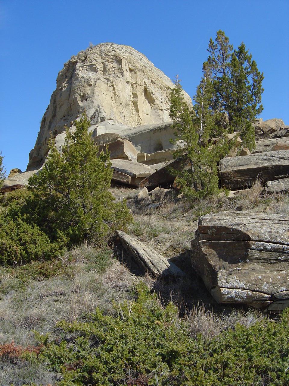
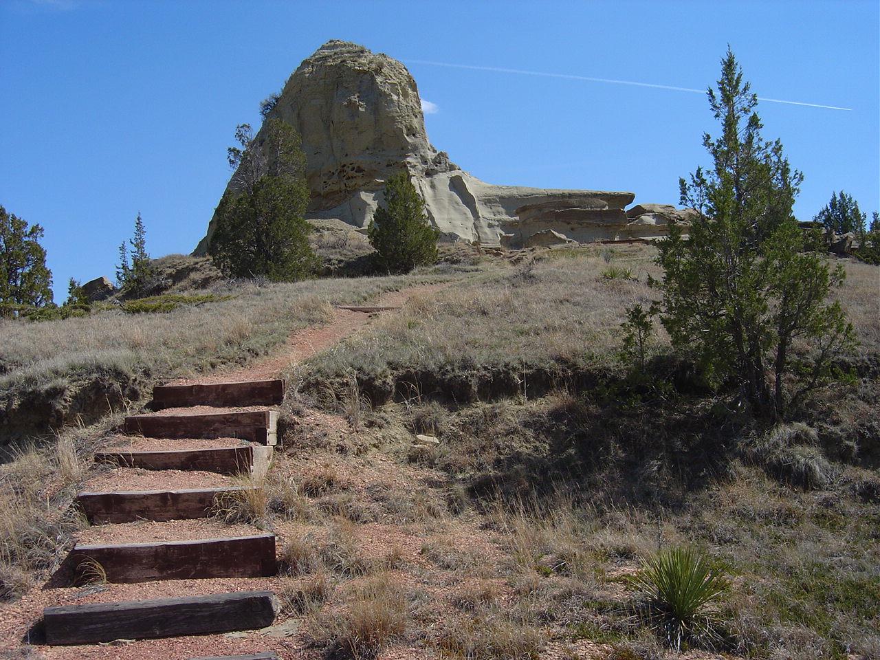
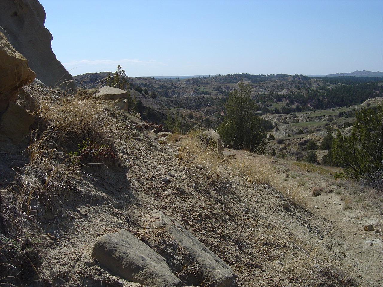
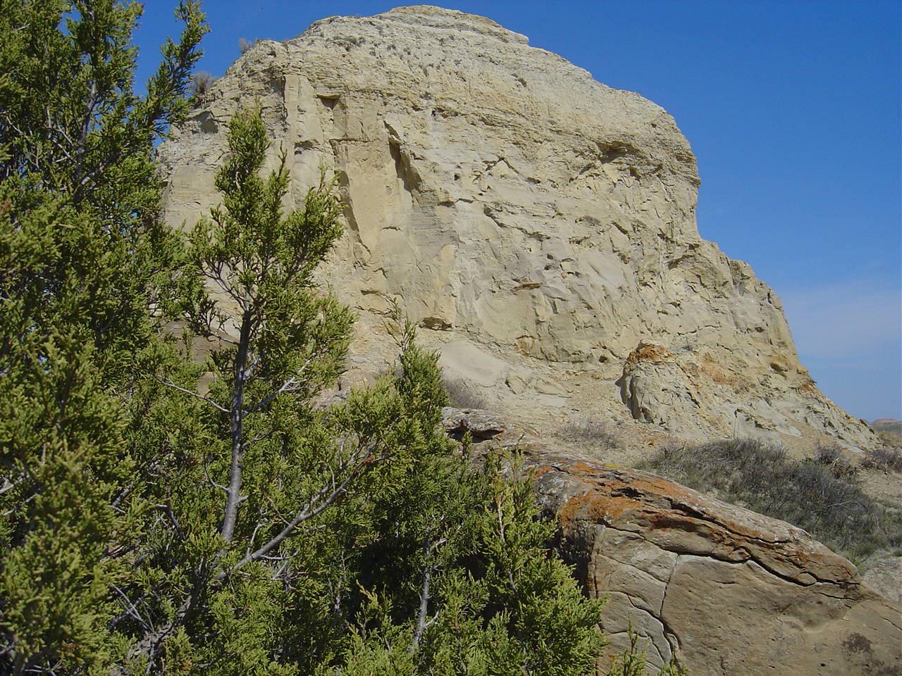
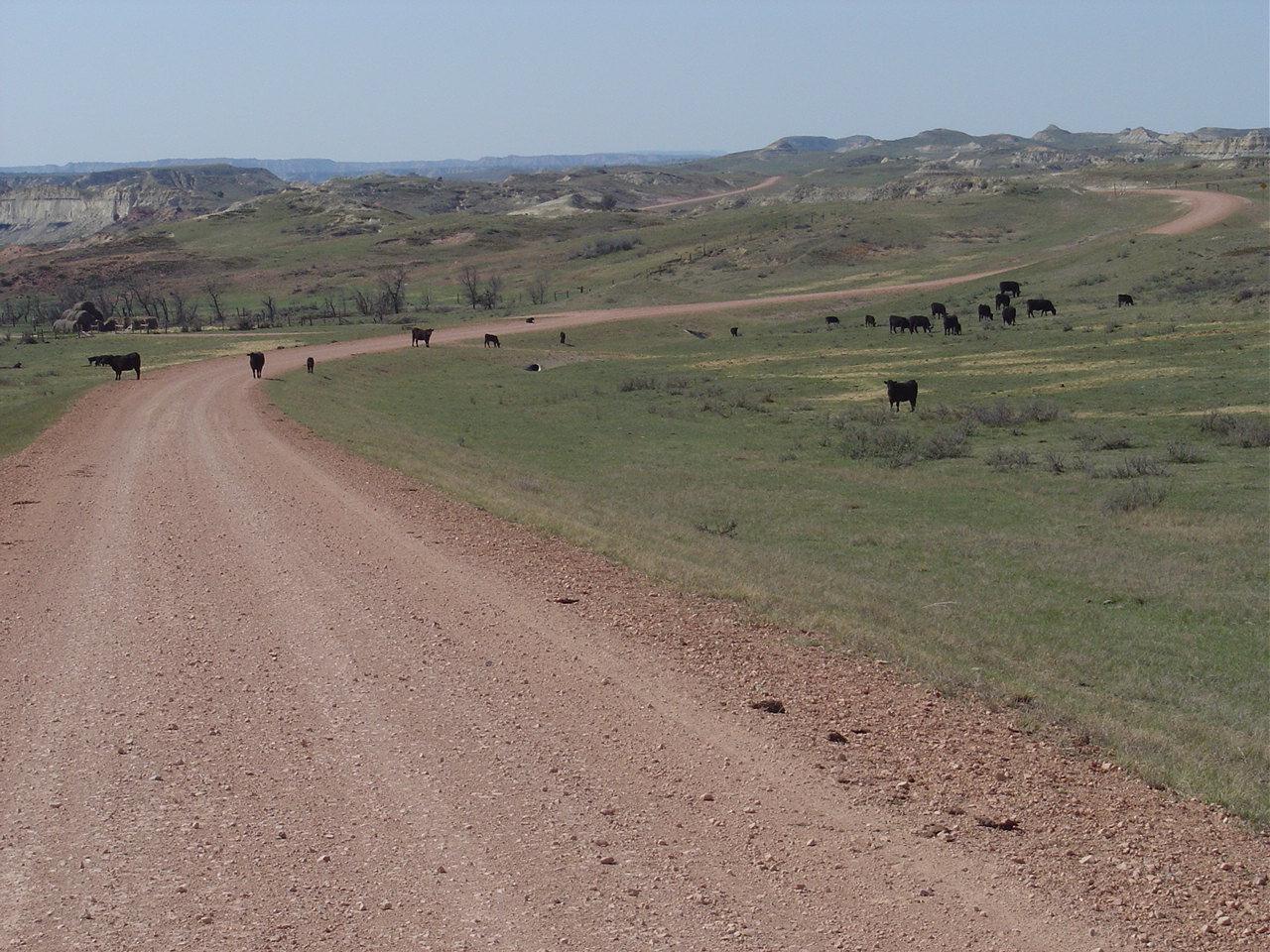
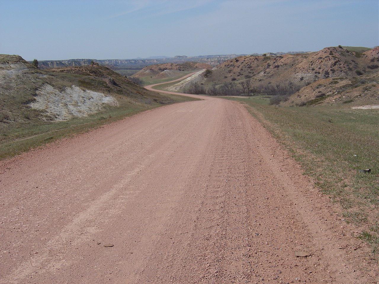
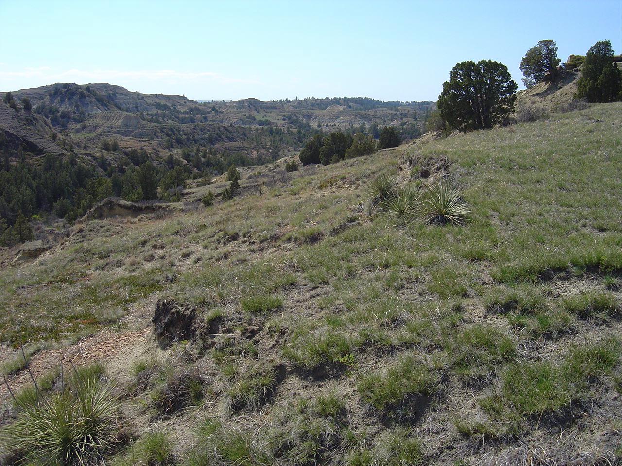
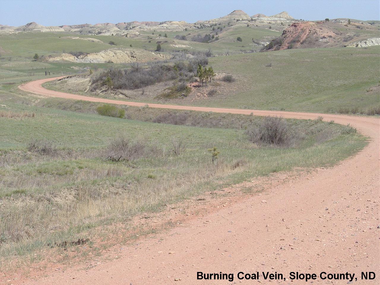
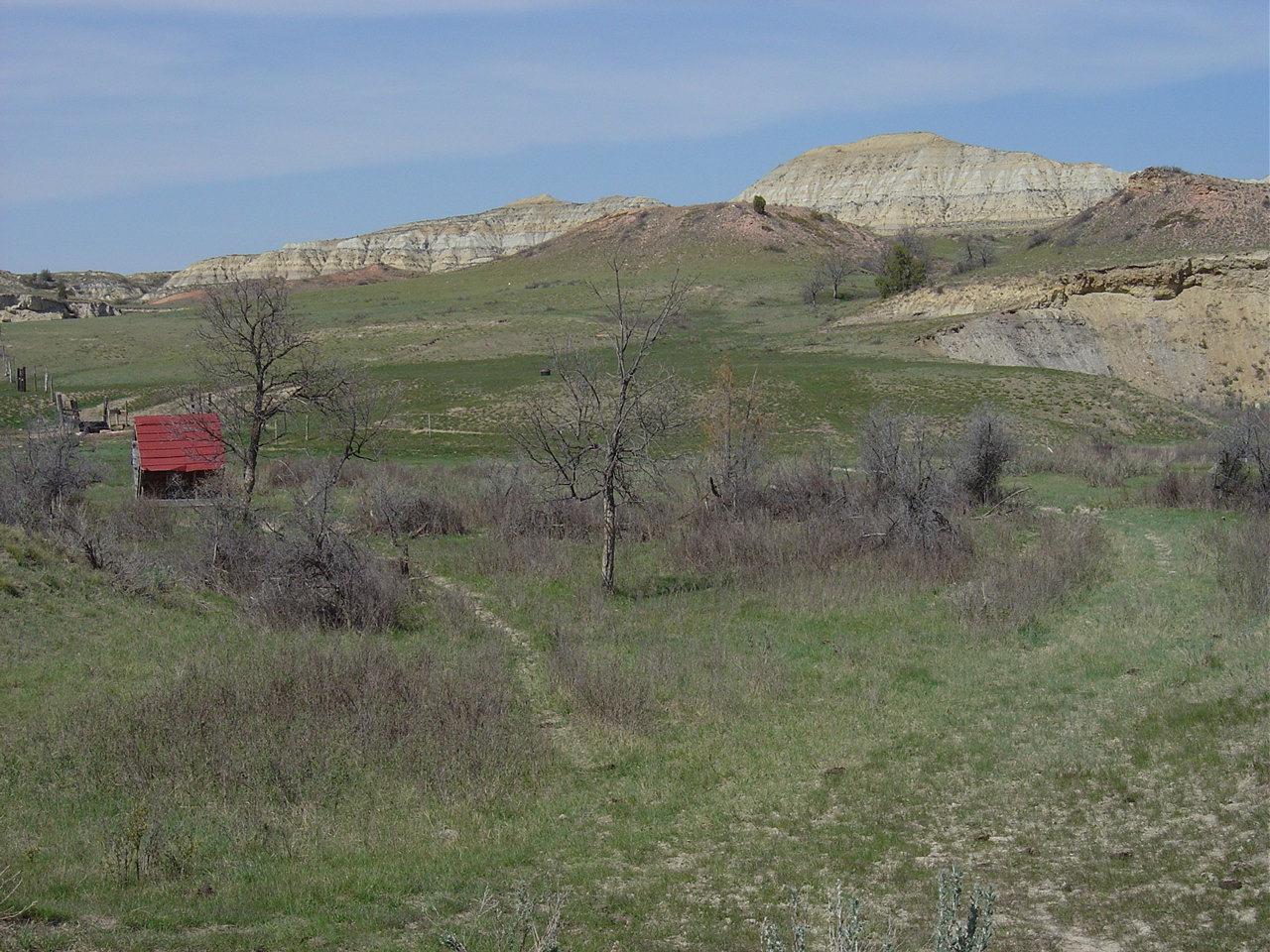
Fotos
Burning Coal Vein ND 2005 (10)
Burning Coal Vein ND 2005 (5)
Burning Coal Vein ND 2005 (7)
Burning Coal Vein ND 2005 (8)
Burning Coal Vein ND 2005 (9)
Burning Coal Vein ND 2005 (15)
Burning Coal Vein ND 2005 (14)
Burning Coal Vein ND 2005 (11)
Burning Coal Vein ND 2005 (1)
Burning Coal Vein ND 2005
Burning Coal Vein ND 2005 (2)
Burning Coal Vein Campground, E River Rd, Medora, ND, USA Karte
Suchen Sie einen anderen Ort
Nahe Plätze
Amidon, ND, USA
Slope County, Norddakota, USA
Broadway, Medora, ND, USA
Medora, ND, USA
Belfield, ND, USA
West Stark, ND, USA
Theodore-Roosevelt-Nationalpark, Norddakota, USA
Billings County, Norddakota, USA
North Billings, ND, USA
Golden Valley County, Norddakota, USA
New England, Norddakota, USA
22 S Central Ave, Beach, ND, USA
Beach, ND, USA
Empire Rd, Dickinson, ND, USA
Dickinson, Norddakota, USA
North Park Campground, Buckskin Dr, Dickinson, ND, USA
Dickinson North, ND, USA
Dunn County, Norddakota, USA
Killdeer, ND, USA
Central McKenzie, ND, USA
Letzte Suche
- Red Dog Mine, AK, USA Sonnenaufgang Sonnenuntergang Zeiten
- Am Bahnhof, Am bhf, Borken, Germany Sonnenaufgang Sonnenuntergang Zeiten
- 4th St E, Sonoma, CA, USA Sonnenaufgang Sonnenuntergang Zeiten
- Oakland Ave, Williamsport, PA, USA Sonnenaufgang Sonnenuntergang Zeiten
- Via Roma, Pieranica CR, Italien Sonnenaufgang Sonnenuntergang Zeiten
- Glockenturm, Grad, Dubrovnik, Kroatien Sonnenaufgang Sonnenuntergang Zeiten
- Trelew, Chubut Province, Argentina Sonnenaufgang Sonnenuntergang Zeiten
- Hartfords Bluff Cir, Mt Pleasant, SC, USA Sonnenaufgang Sonnenuntergang Zeiten
- Kita-ku, Kumamoto, Präfektur Kumamoto, Japan Sonnenaufgang Sonnenuntergang Zeiten
- Pingtan Island, Pingtan County, Fuzhou, China Sonnenaufgang Sonnenuntergang Zeiten