Buckman Springs Rest Area, San Diego, Kalifornien, USA Sonnenaufgang Sonnenuntergang Zeiten
Location: USA > Kalifornien > San Diego County > Pine Valley >
Zeitzone:
America/Los_Angeles
Ortszeit:
2025-07-13 01:51:44
Länge:
-116.483884
Breite:
32.7580487
Sonnenaufgang Heute:
05:48:05 AM
Sonnenuntergang Heute:
07:55:32 PM
Tageslänge heute:
14h 7m 27s
Sonnenaufgang morgen:
05:48:40 AM
Sonnenuntergang Morgen:
07:55:10 PM
Tageslänge von morgen:
14h 6m 30s
Alle Termine anzeigen
| Datum | Sonnenaufgang | Sonnenuntergang | Tageslänge |
|---|---|---|---|
| 2025-01-01 | 06:48:30 AM | 04:51:48 PM | 10h 3m 18s |
| 2025-01-02 | 06:48:39 AM | 04:52:34 PM | 10h 3m 55s |
| 2025-01-03 | 06:48:47 AM | 04:53:21 PM | 10h 4m 34s |
| 2025-01-04 | 06:48:52 AM | 04:54:09 PM | 10h 5m 17s |
| 2025-01-05 | 06:48:56 AM | 04:54:57 PM | 10h 6m 1s |
| 2025-01-06 | 06:48:58 AM | 04:55:47 PM | 10h 6m 49s |
| 2025-01-07 | 06:48:58 AM | 04:56:37 PM | 10h 7m 39s |
| 2025-01-08 | 06:48:57 AM | 04:57:28 PM | 10h 8m 31s |
| 2025-01-09 | 06:48:54 AM | 04:58:20 PM | 10h 9m 26s |
| 2025-01-10 | 06:48:48 AM | 04:59:12 PM | 10h 10m 24s |
| 2025-01-11 | 06:48:41 AM | 05:00:05 PM | 10h 11m 24s |
| 2025-01-12 | 06:48:33 AM | 05:00:59 PM | 10h 12m 26s |
| 2025-01-13 | 06:48:22 AM | 05:01:53 PM | 10h 13m 31s |
| 2025-01-14 | 06:48:10 AM | 05:02:47 PM | 10h 14m 37s |
| 2025-01-15 | 06:47:56 AM | 05:03:42 PM | 10h 15m 46s |
| 2025-01-16 | 06:47:40 AM | 05:04:37 PM | 10h 16m 57s |
| 2025-01-17 | 06:47:22 AM | 05:05:33 PM | 10h 18m 11s |
| 2025-01-18 | 06:47:03 AM | 05:06:29 PM | 10h 19m 26s |
| 2025-01-19 | 06:46:42 AM | 05:07:25 PM | 10h 20m 43s |
| 2025-01-20 | 06:46:19 AM | 05:08:22 PM | 10h 22m 3s |
| 2025-01-21 | 06:45:54 AM | 05:09:18 PM | 10h 23m 24s |
| 2025-01-22 | 06:45:28 AM | 05:10:15 PM | 10h 24m 47s |
| 2025-01-23 | 06:45:00 AM | 05:11:12 PM | 10h 26m 12s |
| 2025-01-24 | 06:44:30 AM | 05:12:08 PM | 10h 27m 38s |
| 2025-01-25 | 06:43:59 AM | 05:13:05 PM | 10h 29m 6s |
| 2025-01-26 | 06:43:26 AM | 05:14:02 PM | 10h 30m 36s |
| 2025-01-27 | 06:42:52 AM | 05:14:59 PM | 10h 32m 7s |
| 2025-01-28 | 06:42:15 AM | 05:15:56 PM | 10h 33m 41s |
| 2025-01-29 | 06:41:38 AM | 05:16:53 PM | 10h 35m 15s |
| 2025-01-30 | 06:40:59 AM | 05:17:50 PM | 10h 36m 51s |
| 2025-01-31 | 06:40:18 AM | 05:18:46 PM | 10h 38m 28s |
| 2025-02-01 | 06:39:36 AM | 05:19:43 PM | 10h 40m 7s |
| 2025-02-02 | 06:38:52 AM | 05:20:39 PM | 10h 41m 47s |
| 2025-02-03 | 06:38:07 AM | 05:21:35 PM | 10h 43m 28s |
| 2025-02-04 | 06:37:21 AM | 05:22:31 PM | 10h 45m 10s |
| 2025-02-05 | 06:36:33 AM | 05:23:26 PM | 10h 46m 53s |
| 2025-02-06 | 06:35:44 AM | 05:24:22 PM | 10h 48m 38s |
| 2025-02-07 | 06:34:54 AM | 05:25:17 PM | 10h 50m 23s |
| 2025-02-08 | 06:34:02 AM | 05:26:11 PM | 10h 52m 9s |
| 2025-02-09 | 06:33:09 AM | 05:27:06 PM | 10h 53m 57s |
| 2025-02-10 | 06:32:15 AM | 05:28:00 PM | 10h 55m 45s |
| 2025-02-11 | 06:31:19 AM | 05:28:54 PM | 10h 57m 35s |
| 2025-02-12 | 06:30:22 AM | 05:29:48 PM | 10h 59m 26s |
| 2025-02-13 | 06:29:25 AM | 05:30:41 PM | 11h 1m 16s |
| 2025-02-14 | 06:28:26 AM | 05:31:34 PM | 11h 3m 8s |
| 2025-02-15 | 06:27:26 AM | 05:32:26 PM | 11h 5m 0s |
| 2025-02-16 | 06:26:25 AM | 05:33:19 PM | 11h 6m 54s |
| 2025-02-17 | 06:25:23 AM | 05:34:10 PM | 11h 8m 47s |
| 2025-02-18 | 06:24:20 AM | 05:35:02 PM | 11h 10m 42s |
| 2025-02-19 | 06:23:16 AM | 05:35:53 PM | 11h 12m 37s |
| 2025-02-20 | 06:22:11 AM | 05:36:44 PM | 11h 14m 33s |
| 2025-02-21 | 06:21:05 AM | 05:37:34 PM | 11h 16m 29s |
| 2025-02-22 | 06:19:58 AM | 05:38:24 PM | 11h 18m 26s |
| 2025-02-23 | 06:18:51 AM | 05:39:14 PM | 11h 20m 23s |
| 2025-02-24 | 06:17:42 AM | 05:40:03 PM | 11h 22m 21s |
| 2025-02-25 | 06:16:33 AM | 05:40:52 PM | 11h 24m 19s |
| 2025-02-26 | 06:15:23 AM | 05:41:41 PM | 11h 26m 18s |
| 2025-02-27 | 06:14:13 AM | 05:42:29 PM | 11h 28m 16s |
| 2025-02-28 | 06:13:01 AM | 05:43:17 PM | 11h 30m 16s |
| 2025-03-01 | 06:11:49 AM | 05:44:05 PM | 11h 32m 16s |
| 2025-03-02 | 06:10:37 AM | 05:44:52 PM | 11h 34m 15s |
| 2025-03-03 | 06:09:24 AM | 05:45:40 PM | 11h 36m 16s |
| 2025-03-04 | 06:08:10 AM | 05:46:26 PM | 11h 38m 16s |
| 2025-03-05 | 06:06:55 AM | 05:47:13 PM | 11h 40m 18s |
| 2025-03-06 | 06:05:41 AM | 05:47:59 PM | 11h 42m 18s |
| 2025-03-07 | 06:04:25 AM | 05:48:45 PM | 11h 44m 20s |
| 2025-03-08 | 06:03:10 AM | 05:49:30 PM | 11h 46m 20s |
| 2025-03-09 | 07:01:57 AM | 06:50:14 PM | 11h 48m 17s |
| 2025-03-10 | 07:00:40 AM | 06:50:59 PM | 11h 50m 19s |
| 2025-03-11 | 06:59:23 AM | 06:51:44 PM | 11h 52m 21s |
| 2025-03-12 | 06:58:06 AM | 06:52:28 PM | 11h 54m 22s |
| 2025-03-13 | 06:56:48 AM | 06:53:13 PM | 11h 56m 25s |
| 2025-03-14 | 06:55:31 AM | 06:53:57 PM | 11h 58m 26s |
| 2025-03-15 | 06:54:13 AM | 06:54:41 PM | 12h 0m 28s |
| 2025-03-16 | 06:52:54 AM | 06:55:24 PM | 12h 2m 30s |
| 2025-03-17 | 06:51:36 AM | 06:56:08 PM | 12h 4m 32s |
| 2025-03-18 | 06:50:17 AM | 06:56:52 PM | 12h 6m 35s |
| 2025-03-19 | 06:48:58 AM | 06:57:35 PM | 12h 8m 37s |
| 2025-03-20 | 06:47:40 AM | 06:58:18 PM | 12h 10m 38s |
| 2025-03-21 | 06:46:21 AM | 06:59:01 PM | 12h 12m 40s |
| 2025-03-22 | 06:45:02 AM | 06:59:44 PM | 12h 14m 42s |
| 2025-03-23 | 06:43:43 AM | 07:00:27 PM | 12h 16m 44s |
| 2025-03-24 | 06:42:24 AM | 07:01:10 PM | 12h 18m 46s |
| 2025-03-25 | 06:41:05 AM | 07:01:52 PM | 12h 20m 47s |
| 2025-03-26 | 06:39:46 AM | 07:02:35 PM | 12h 22m 49s |
| 2025-03-27 | 06:38:28 AM | 07:03:17 PM | 12h 24m 49s |
| 2025-03-28 | 06:37:09 AM | 07:04:00 PM | 12h 26m 51s |
| 2025-03-29 | 06:35:51 AM | 07:04:42 PM | 12h 28m 51s |
| 2025-03-30 | 06:34:32 AM | 07:05:25 PM | 12h 30m 53s |
| 2025-03-31 | 06:33:14 AM | 07:06:07 PM | 12h 32m 53s |
| 2025-04-01 | 06:31:57 AM | 07:06:50 PM | 12h 34m 53s |
| 2025-04-02 | 06:30:39 AM | 07:07:32 PM | 12h 36m 53s |
| 2025-04-03 | 06:29:22 AM | 07:08:14 PM | 12h 38m 52s |
| 2025-04-04 | 06:28:05 AM | 07:08:57 PM | 12h 40m 52s |
| 2025-04-05 | 06:26:49 AM | 07:09:39 PM | 12h 42m 50s |
| 2025-04-06 | 06:25:32 AM | 07:10:22 PM | 12h 44m 50s |
| 2025-04-07 | 06:24:17 AM | 07:11:04 PM | 12h 46m 47s |
| 2025-04-08 | 06:23:02 AM | 07:11:47 PM | 12h 48m 45s |
| 2025-04-09 | 06:21:47 AM | 07:12:30 PM | 12h 50m 43s |
| 2025-04-10 | 06:20:32 AM | 07:13:12 PM | 12h 52m 40s |
| 2025-04-11 | 06:19:19 AM | 07:13:55 PM | 12h 54m 36s |
| 2025-04-12 | 06:18:06 AM | 07:14:38 PM | 12h 56m 32s |
| 2025-04-13 | 06:16:53 AM | 07:15:21 PM | 12h 58m 28s |
| 2025-04-14 | 06:15:41 AM | 07:16:04 PM | 13h 0m 23s |
| 2025-04-15 | 06:14:30 AM | 07:16:47 PM | 13h 2m 17s |
| 2025-04-16 | 06:13:19 AM | 07:17:31 PM | 13h 4m 12s |
| 2025-04-17 | 06:12:09 AM | 07:18:14 PM | 13h 6m 5s |
| 2025-04-18 | 06:11:00 AM | 07:18:57 PM | 13h 7m 57s |
| 2025-04-19 | 06:09:51 AM | 07:19:41 PM | 13h 9m 50s |
| 2025-04-20 | 06:08:44 AM | 07:20:24 PM | 13h 11m 40s |
| 2025-04-21 | 06:07:37 AM | 07:21:08 PM | 13h 13m 31s |
| 2025-04-22 | 06:06:31 AM | 07:21:52 PM | 13h 15m 21s |
| 2025-04-23 | 06:05:25 AM | 07:22:35 PM | 13h 17m 10s |
| 2025-04-24 | 06:04:21 AM | 07:23:19 PM | 13h 18m 58s |
| 2025-04-25 | 06:03:18 AM | 07:24:03 PM | 13h 20m 45s |
| 2025-04-26 | 06:02:15 AM | 07:24:47 PM | 13h 22m 32s |
| 2025-04-27 | 06:01:14 AM | 07:25:31 PM | 13h 24m 17s |
| 2025-04-28 | 06:00:13 AM | 07:26:15 PM | 13h 26m 2s |
| 2025-04-29 | 05:59:14 AM | 07:27:00 PM | 13h 27m 46s |
| 2025-04-30 | 05:58:15 AM | 07:27:44 PM | 13h 29m 29s |
| 2025-05-01 | 05:57:18 AM | 07:28:28 PM | 13h 31m 10s |
| 2025-05-02 | 05:56:21 AM | 07:29:12 PM | 13h 32m 51s |
| 2025-05-03 | 05:55:26 AM | 07:29:56 PM | 13h 34m 30s |
| 2025-05-04 | 05:54:32 AM | 07:30:40 PM | 13h 36m 8s |
| 2025-05-05 | 05:53:39 AM | 07:31:24 PM | 13h 37m 45s |
| 2025-05-06 | 05:52:48 AM | 07:32:08 PM | 13h 39m 20s |
| 2025-05-07 | 05:51:57 AM | 07:32:52 PM | 13h 40m 55s |
| 2025-05-08 | 05:51:08 AM | 07:33:36 PM | 13h 42m 28s |
| 2025-05-09 | 05:50:20 AM | 07:34:20 PM | 13h 44m 0s |
| 2025-05-10 | 05:49:33 AM | 07:35:04 PM | 13h 45m 31s |
| 2025-05-11 | 05:48:48 AM | 07:35:47 PM | 13h 46m 59s |
| 2025-05-12 | 05:48:04 AM | 07:36:30 PM | 13h 48m 26s |
| 2025-05-13 | 05:47:21 AM | 07:37:14 PM | 13h 49m 53s |
| 2025-05-14 | 05:46:39 AM | 07:37:56 PM | 13h 51m 17s |
| 2025-05-15 | 05:45:59 AM | 07:38:39 PM | 13h 52m 40s |
| 2025-05-16 | 05:45:21 AM | 07:39:21 PM | 13h 54m 0s |
| 2025-05-17 | 05:44:44 AM | 07:40:03 PM | 13h 55m 19s |
| 2025-05-18 | 05:44:08 AM | 07:40:45 PM | 13h 56m 37s |
| 2025-05-19 | 05:43:33 AM | 07:41:27 PM | 13h 57m 54s |
| 2025-05-20 | 05:43:00 AM | 07:42:08 PM | 13h 59m 8s |
| 2025-05-21 | 05:42:29 AM | 07:42:48 PM | 14h 0m 19s |
| 2025-05-22 | 05:41:59 AM | 07:43:28 PM | 14h 1m 29s |
| 2025-05-23 | 05:41:31 AM | 07:44:08 PM | 14h 2m 37s |
| 2025-05-24 | 05:41:04 AM | 07:44:47 PM | 14h 3m 43s |
| 2025-05-25 | 05:40:38 AM | 07:45:26 PM | 14h 4m 48s |
| 2025-05-26 | 05:40:14 AM | 07:46:04 PM | 14h 5m 50s |
| 2025-05-27 | 05:39:52 AM | 07:46:41 PM | 14h 6m 49s |
| 2025-05-28 | 05:39:31 AM | 07:47:18 PM | 14h 7m 47s |
| 2025-05-29 | 05:39:12 AM | 07:47:54 PM | 14h 8m 42s |
| 2025-05-30 | 05:38:54 AM | 07:48:29 PM | 14h 9m 35s |
| 2025-05-31 | 05:38:38 AM | 07:49:04 PM | 14h 10m 26s |
| 2025-06-01 | 05:38:23 AM | 07:49:38 PM | 14h 11m 15s |
| 2025-06-02 | 05:38:10 AM | 07:50:11 PM | 14h 12m 1s |
| 2025-06-03 | 05:37:58 AM | 07:50:43 PM | 14h 12m 45s |
| 2025-06-04 | 05:37:48 AM | 07:51:15 PM | 14h 13m 27s |
| 2025-06-05 | 05:37:39 AM | 07:51:45 PM | 14h 14m 6s |
| 2025-06-06 | 05:37:32 AM | 07:52:15 PM | 14h 14m 43s |
| 2025-06-07 | 05:37:27 AM | 07:52:43 PM | 14h 15m 16s |
| 2025-06-08 | 05:37:23 AM | 07:53:11 PM | 14h 15m 48s |
| 2025-06-09 | 05:37:20 AM | 07:53:37 PM | 14h 16m 17s |
| 2025-06-10 | 05:37:19 AM | 07:54:03 PM | 14h 16m 44s |
| 2025-06-11 | 05:37:20 AM | 07:54:27 PM | 14h 17m 7s |
| 2025-06-12 | 05:37:22 AM | 07:54:50 PM | 14h 17m 28s |
| 2025-06-13 | 05:37:25 AM | 07:55:12 PM | 14h 17m 47s |
| 2025-06-14 | 05:37:30 AM | 07:55:33 PM | 14h 18m 3s |
| 2025-06-15 | 05:37:36 AM | 07:55:53 PM | 14h 18m 17s |
| 2025-06-16 | 05:37:44 AM | 07:56:11 PM | 14h 18m 27s |
| 2025-06-17 | 05:37:53 AM | 07:56:28 PM | 14h 18m 35s |
| 2025-06-18 | 05:38:04 AM | 07:56:44 PM | 14h 18m 40s |
| 2025-06-19 | 05:38:15 AM | 07:56:58 PM | 14h 18m 43s |
| 2025-06-20 | 05:38:28 AM | 07:57:11 PM | 14h 18m 43s |
| 2025-06-21 | 05:38:43 AM | 07:57:23 PM | 14h 18m 40s |
| 2025-06-22 | 05:38:58 AM | 07:57:33 PM | 14h 18m 35s |
| 2025-06-23 | 05:39:15 AM | 07:57:42 PM | 14h 18m 27s |
| 2025-06-24 | 05:39:33 AM | 07:57:49 PM | 14h 18m 16s |
| 2025-06-25 | 05:39:53 AM | 07:57:55 PM | 14h 18m 2s |
| 2025-06-26 | 05:40:13 AM | 07:58:00 PM | 14h 17m 47s |
| 2025-06-27 | 05:40:35 AM | 07:58:03 PM | 14h 17m 28s |
| 2025-06-28 | 05:40:57 AM | 07:58:04 PM | 14h 17m 7s |
| 2025-06-29 | 05:41:21 AM | 07:58:04 PM | 14h 16m 43s |
| 2025-06-30 | 05:41:46 AM | 07:58:02 PM | 14h 16m 16s |
| 2025-07-01 | 05:42:12 AM | 07:57:59 PM | 14h 15m 47s |
| 2025-07-02 | 05:42:38 AM | 07:57:55 PM | 14h 15m 17s |
| 2025-07-03 | 05:43:06 AM | 07:57:48 PM | 14h 14m 42s |
| 2025-07-04 | 05:43:35 AM | 07:57:40 PM | 14h 14m 5s |
| 2025-07-05 | 05:44:04 AM | 07:57:31 PM | 14h 13m 27s |
| 2025-07-06 | 05:44:34 AM | 07:57:20 PM | 14h 12m 46s |
| 2025-07-07 | 05:45:06 AM | 07:57:07 PM | 14h 12m 1s |
| 2025-07-08 | 05:45:37 AM | 07:56:53 PM | 14h 11m 16s |
| 2025-07-09 | 05:46:10 AM | 07:56:37 PM | 14h 10m 27s |
| 2025-07-10 | 05:46:43 AM | 07:56:20 PM | 14h 9m 37s |
| 2025-07-11 | 05:47:17 AM | 07:56:01 PM | 14h 8m 44s |
| 2025-07-12 | 05:47:52 AM | 07:55:41 PM | 14h 7m 49s |
| 2025-07-13 | 05:48:27 AM | 07:55:18 PM | 14h 6m 51s |
| 2025-07-14 | 05:49:03 AM | 07:54:55 PM | 14h 5m 52s |
| 2025-07-15 | 05:49:39 AM | 07:54:30 PM | 14h 4m 51s |
| 2025-07-16 | 05:50:16 AM | 07:54:03 PM | 14h 3m 47s |
| 2025-07-17 | 05:50:53 AM | 07:53:35 PM | 14h 2m 42s |
| 2025-07-18 | 05:51:31 AM | 07:53:05 PM | 14h 1m 34s |
| 2025-07-19 | 05:52:09 AM | 07:52:33 PM | 14h 0m 24s |
| 2025-07-20 | 05:52:47 AM | 07:52:01 PM | 13h 59m 14s |
| 2025-07-21 | 05:53:26 AM | 07:51:26 PM | 13h 58m 0s |
| 2025-07-22 | 05:54:05 AM | 07:50:50 PM | 13h 56m 45s |
| 2025-07-23 | 05:54:45 AM | 07:50:13 PM | 13h 55m 28s |
| 2025-07-24 | 05:55:24 AM | 07:49:34 PM | 13h 54m 10s |
| 2025-07-25 | 05:56:04 AM | 07:48:54 PM | 13h 52m 50s |
| 2025-07-26 | 05:56:44 AM | 07:48:13 PM | 13h 51m 29s |
| 2025-07-27 | 05:57:25 AM | 07:47:30 PM | 13h 50m 5s |
| 2025-07-28 | 05:58:05 AM | 07:46:45 PM | 13h 48m 40s |
| 2025-07-29 | 05:58:46 AM | 07:46:00 PM | 13h 47m 14s |
| 2025-07-30 | 05:59:27 AM | 07:45:13 PM | 13h 45m 46s |
| 2025-07-31 | 06:00:08 AM | 07:44:24 PM | 13h 44m 16s |
| 2025-08-01 | 06:00:48 AM | 07:43:35 PM | 13h 42m 47s |
| 2025-08-02 | 06:01:29 AM | 07:42:44 PM | 13h 41m 15s |
| 2025-08-03 | 06:02:10 AM | 07:41:52 PM | 13h 39m 42s |
| 2025-08-04 | 06:02:52 AM | 07:40:58 PM | 13h 38m 6s |
| 2025-08-05 | 06:03:33 AM | 07:40:04 PM | 13h 36m 31s |
| 2025-08-06 | 06:04:14 AM | 07:39:08 PM | 13h 34m 54s |
| 2025-08-07 | 06:04:55 AM | 07:38:11 PM | 13h 33m 16s |
| 2025-08-08 | 06:05:36 AM | 07:37:13 PM | 13h 31m 37s |
| 2025-08-09 | 06:06:17 AM | 07:36:14 PM | 13h 29m 57s |
| 2025-08-10 | 06:06:58 AM | 07:35:13 PM | 13h 28m 15s |
| 2025-08-11 | 06:07:38 AM | 07:34:12 PM | 13h 26m 34s |
| 2025-08-12 | 06:08:19 AM | 07:33:10 PM | 13h 24m 51s |
| 2025-08-13 | 06:09:00 AM | 07:32:06 PM | 13h 23m 6s |
| 2025-08-14 | 06:09:40 AM | 07:31:02 PM | 13h 21m 22s |
| 2025-08-15 | 06:10:21 AM | 07:29:57 PM | 13h 19m 36s |
| 2025-08-16 | 06:11:01 AM | 07:28:51 PM | 13h 17m 50s |
| 2025-08-17 | 06:11:41 AM | 07:27:44 PM | 13h 16m 3s |
| 2025-08-18 | 06:12:22 AM | 07:26:36 PM | 13h 14m 14s |
| 2025-08-19 | 06:13:02 AM | 07:25:27 PM | 13h 12m 25s |
| 2025-08-20 | 06:13:41 AM | 07:24:17 PM | 13h 10m 36s |
| 2025-08-21 | 06:14:21 AM | 07:23:07 PM | 13h 8m 46s |
| 2025-08-22 | 06:15:01 AM | 07:21:56 PM | 13h 6m 55s |
| 2025-08-23 | 06:15:41 AM | 07:20:44 PM | 13h 5m 3s |
| 2025-08-24 | 06:16:20 AM | 07:19:31 PM | 13h 3m 11s |
| 2025-08-25 | 06:16:59 AM | 07:18:18 PM | 13h 1m 19s |
| 2025-08-26 | 06:17:38 AM | 07:17:04 PM | 12h 59m 26s |
| 2025-08-27 | 06:18:18 AM | 07:15:49 PM | 12h 57m 31s |
| 2025-08-28 | 06:18:57 AM | 07:14:34 PM | 12h 55m 37s |
| 2025-08-29 | 06:19:35 AM | 07:13:18 PM | 12h 53m 43s |
| 2025-08-30 | 06:20:14 AM | 07:12:02 PM | 12h 51m 48s |
| 2025-08-31 | 06:20:53 AM | 07:10:45 PM | 12h 49m 52s |
| 2025-09-01 | 06:21:31 AM | 07:09:28 PM | 12h 47m 57s |
| 2025-09-02 | 06:22:10 AM | 07:08:10 PM | 12h 46m 0s |
| 2025-09-03 | 06:22:48 AM | 07:06:52 PM | 12h 44m 4s |
| 2025-09-04 | 06:23:27 AM | 07:05:33 PM | 12h 42m 6s |
| 2025-09-05 | 06:24:05 AM | 07:04:14 PM | 12h 40m 9s |
| 2025-09-06 | 06:24:44 AM | 07:02:55 PM | 12h 38m 11s |
| 2025-09-07 | 06:25:22 AM | 07:01:35 PM | 12h 36m 13s |
| 2025-09-08 | 06:26:00 AM | 07:00:15 PM | 12h 34m 15s |
| 2025-09-09 | 06:26:38 AM | 06:58:55 PM | 12h 32m 17s |
| 2025-09-10 | 06:27:16 AM | 06:57:35 PM | 12h 30m 19s |
| 2025-09-11 | 06:27:55 AM | 06:56:14 PM | 12h 28m 19s |
| 2025-09-12 | 06:28:33 AM | 06:54:53 PM | 12h 26m 20s |
| 2025-09-13 | 06:29:11 AM | 06:53:32 PM | 12h 24m 21s |
| 2025-09-14 | 06:29:49 AM | 06:52:11 PM | 12h 22m 22s |
| 2025-09-15 | 06:30:28 AM | 06:50:50 PM | 12h 20m 22s |
| 2025-09-16 | 06:31:06 AM | 06:49:28 PM | 12h 18m 22s |
| 2025-09-17 | 06:31:45 AM | 06:48:07 PM | 12h 16m 22s |
| 2025-09-18 | 06:32:23 AM | 06:46:46 PM | 12h 14m 23s |
| 2025-09-19 | 06:33:02 AM | 06:45:24 PM | 12h 12m 22s |
| 2025-09-20 | 06:33:41 AM | 06:44:03 PM | 12h 10m 22s |
| 2025-09-21 | 06:34:20 AM | 06:42:42 PM | 12h 8m 22s |
| 2025-09-22 | 06:34:59 AM | 06:41:21 PM | 12h 6m 22s |
| 2025-09-23 | 06:35:38 AM | 06:40:00 PM | 12h 4m 22s |
| 2025-09-24 | 06:36:17 AM | 06:38:39 PM | 12h 2m 22s |
| 2025-09-25 | 06:36:57 AM | 06:37:18 PM | 12h 0m 21s |
| 2025-09-26 | 06:37:36 AM | 06:35:58 PM | 11h 58m 22s |
| 2025-09-27 | 06:38:16 AM | 06:34:37 PM | 11h 56m 21s |
| 2025-09-28 | 06:38:56 AM | 06:33:17 PM | 11h 54m 21s |
| 2025-09-29 | 06:39:37 AM | 06:31:58 PM | 11h 52m 21s |
| 2025-09-30 | 06:40:17 AM | 06:30:38 PM | 11h 50m 21s |
| 2025-10-01 | 06:40:58 AM | 06:29:20 PM | 11h 48m 22s |
| 2025-10-02 | 06:41:39 AM | 06:28:01 PM | 11h 46m 22s |
| 2025-10-03 | 06:42:20 AM | 06:26:43 PM | 11h 44m 23s |
| 2025-10-04 | 06:43:02 AM | 06:25:25 PM | 11h 42m 23s |
| 2025-10-05 | 06:43:44 AM | 06:24:08 PM | 11h 40m 24s |
| 2025-10-06 | 06:44:26 AM | 06:22:51 PM | 11h 38m 25s |
| 2025-10-07 | 06:45:09 AM | 06:21:35 PM | 11h 36m 26s |
| 2025-10-08 | 06:45:51 AM | 06:20:19 PM | 11h 34m 28s |
| 2025-10-09 | 06:46:35 AM | 06:19:04 PM | 11h 32m 29s |
| 2025-10-10 | 06:47:18 AM | 06:17:50 PM | 11h 30m 32s |
| 2025-10-11 | 06:48:02 AM | 06:16:36 PM | 11h 28m 34s |
| 2025-10-12 | 06:48:46 AM | 06:15:23 PM | 11h 26m 37s |
| 2025-10-13 | 06:49:31 AM | 06:14:10 PM | 11h 24m 39s |
| 2025-10-14 | 06:50:16 AM | 06:12:59 PM | 11h 22m 43s |
| 2025-10-15 | 06:51:01 AM | 06:11:48 PM | 11h 20m 47s |
| 2025-10-16 | 06:51:47 AM | 06:10:38 PM | 11h 18m 51s |
| 2025-10-17 | 06:52:33 AM | 06:09:28 PM | 11h 16m 55s |
| 2025-10-18 | 06:53:19 AM | 06:08:20 PM | 11h 15m 1s |
| 2025-10-19 | 06:54:06 AM | 06:07:13 PM | 11h 13m 7s |
| 2025-10-20 | 06:54:53 AM | 06:06:06 PM | 11h 11m 13s |
| 2025-10-21 | 06:55:41 AM | 06:05:00 PM | 11h 9m 19s |
| 2025-10-22 | 06:56:28 AM | 06:03:56 PM | 11h 7m 28s |
| 2025-10-23 | 06:57:17 AM | 06:02:52 PM | 11h 5m 35s |
| 2025-10-24 | 06:58:06 AM | 06:01:49 PM | 11h 3m 43s |
| 2025-10-25 | 06:58:55 AM | 06:00:48 PM | 11h 1m 53s |
| 2025-10-26 | 06:59:44 AM | 05:59:48 PM | 11h 0m 4s |
| 2025-10-27 | 07:00:34 AM | 05:58:48 PM | 10h 58m 14s |
| 2025-10-28 | 07:01:24 AM | 05:57:50 PM | 10h 56m 26s |
| 2025-10-29 | 07:02:15 AM | 05:56:53 PM | 10h 54m 38s |
| 2025-10-30 | 07:03:06 AM | 05:55:58 PM | 10h 52m 52s |
| 2025-10-31 | 07:03:57 AM | 05:55:03 PM | 10h 51m 6s |
| 2025-11-01 | 07:04:48 AM | 05:54:10 PM | 10h 49m 22s |
| 2025-11-02 | 06:05:42 AM | 04:53:16 PM | 10h 47m 34s |
| 2025-11-03 | 06:06:35 AM | 04:52:26 PM | 10h 45m 51s |
| 2025-11-04 | 06:07:27 AM | 04:51:36 PM | 10h 44m 9s |
| 2025-11-05 | 06:08:20 AM | 04:50:49 PM | 10h 42m 29s |
| 2025-11-06 | 06:09:13 AM | 04:50:02 PM | 10h 40m 49s |
| 2025-11-07 | 06:10:06 AM | 04:49:18 PM | 10h 39m 12s |
| 2025-11-08 | 06:10:59 AM | 04:48:34 PM | 10h 37m 35s |
| 2025-11-09 | 06:11:53 AM | 04:47:52 PM | 10h 35m 59s |
| 2025-11-10 | 06:12:47 AM | 04:47:12 PM | 10h 34m 25s |
| 2025-11-11 | 06:13:41 AM | 04:46:33 PM | 10h 32m 52s |
| 2025-11-12 | 06:14:35 AM | 04:45:56 PM | 10h 31m 21s |
| 2025-11-13 | 06:15:29 AM | 04:45:21 PM | 10h 29m 52s |
| 2025-11-14 | 06:16:23 AM | 04:44:47 PM | 10h 28m 24s |
| 2025-11-15 | 06:17:18 AM | 04:44:14 PM | 10h 26m 56s |
| 2025-11-16 | 06:18:12 AM | 04:43:44 PM | 10h 25m 32s |
| 2025-11-17 | 06:19:06 AM | 04:43:15 PM | 10h 24m 9s |
| 2025-11-18 | 06:20:00 AM | 04:42:47 PM | 10h 22m 47s |
| 2025-11-19 | 06:20:55 AM | 04:42:22 PM | 10h 21m 27s |
| 2025-11-20 | 06:21:49 AM | 04:41:58 PM | 10h 20m 9s |
| 2025-11-21 | 06:22:42 AM | 04:41:36 PM | 10h 18m 54s |
| 2025-11-22 | 06:23:36 AM | 04:41:16 PM | 10h 17m 40s |
| 2025-11-23 | 06:24:29 AM | 04:40:57 PM | 10h 16m 28s |
| 2025-11-24 | 06:25:23 AM | 04:40:41 PM | 10h 15m 18s |
| 2025-11-25 | 06:26:15 AM | 04:40:26 PM | 10h 14m 11s |
| 2025-11-26 | 06:27:08 AM | 04:40:13 PM | 10h 13m 5s |
| 2025-11-27 | 06:28:00 AM | 04:40:01 PM | 10h 12m 1s |
| 2025-11-28 | 06:28:51 AM | 04:39:52 PM | 10h 11m 1s |
| 2025-11-29 | 06:29:42 AM | 04:39:45 PM | 10h 10m 3s |
| 2025-11-30 | 06:30:33 AM | 04:39:39 PM | 10h 9m 6s |
| 2025-12-01 | 06:31:23 AM | 04:39:35 PM | 10h 8m 12s |
| 2025-12-02 | 06:32:12 AM | 04:39:33 PM | 10h 7m 21s |
| 2025-12-03 | 06:33:01 AM | 04:39:33 PM | 10h 6m 32s |
| 2025-12-04 | 06:33:49 AM | 04:39:34 PM | 10h 5m 45s |
| 2025-12-05 | 06:34:36 AM | 04:39:38 PM | 10h 5m 2s |
| 2025-12-06 | 06:35:23 AM | 04:39:43 PM | 10h 4m 20s |
| 2025-12-07 | 06:36:08 AM | 04:39:50 PM | 10h 3m 42s |
| 2025-12-08 | 06:36:53 AM | 04:39:59 PM | 10h 3m 6s |
| 2025-12-09 | 06:37:37 AM | 04:40:10 PM | 10h 2m 33s |
| 2025-12-10 | 06:38:19 AM | 04:40:22 PM | 10h 2m 3s |
| 2025-12-11 | 06:39:01 AM | 04:40:37 PM | 10h 1m 36s |
| 2025-12-12 | 06:39:42 AM | 04:40:53 PM | 10h 1m 11s |
| 2025-12-13 | 06:40:21 AM | 04:41:10 PM | 10h 0m 49s |
| 2025-12-14 | 06:40:59 AM | 04:41:30 PM | 10h 0m 31s |
| 2025-12-15 | 06:41:36 AM | 04:41:51 PM | 10h 0m 15s |
| 2025-12-16 | 06:42:12 AM | 04:42:14 PM | 10h 0m 2s |
| 2025-12-17 | 06:42:47 AM | 04:42:38 PM | 9h 59m 51s |
| 2025-12-18 | 06:43:20 AM | 04:43:04 PM | 9h 59m 44s |
| 2025-12-19 | 06:43:52 AM | 04:43:32 PM | 9h 59m 40s |
| 2025-12-20 | 06:44:23 AM | 04:44:01 PM | 9h 59m 38s |
| 2025-12-21 | 06:44:52 AM | 04:44:31 PM | 9h 59m 39s |
| 2025-12-22 | 06:45:19 AM | 04:45:03 PM | 9h 59m 44s |
| 2025-12-23 | 06:45:45 AM | 04:45:37 PM | 9h 59m 52s |
| 2025-12-24 | 06:46:10 AM | 04:46:12 PM | 10h 0m 2s |
| 2025-12-25 | 06:46:33 AM | 04:46:48 PM | 10h 0m 15s |
| 2025-12-26 | 06:46:54 AM | 04:47:26 PM | 10h 0m 32s |
| 2025-12-27 | 06:47:14 AM | 04:48:05 PM | 10h 0m 51s |
| 2025-12-28 | 06:47:32 AM | 04:48:45 PM | 10h 1m 13s |
| 2025-12-29 | 06:47:48 AM | 04:49:26 PM | 10h 1m 38s |
| 2025-12-30 | 06:48:03 AM | 04:50:09 PM | 10h 2m 6s |
| 2025-12-31 | 06:48:16 AM | 04:50:52 PM | 10h 2m 36s |
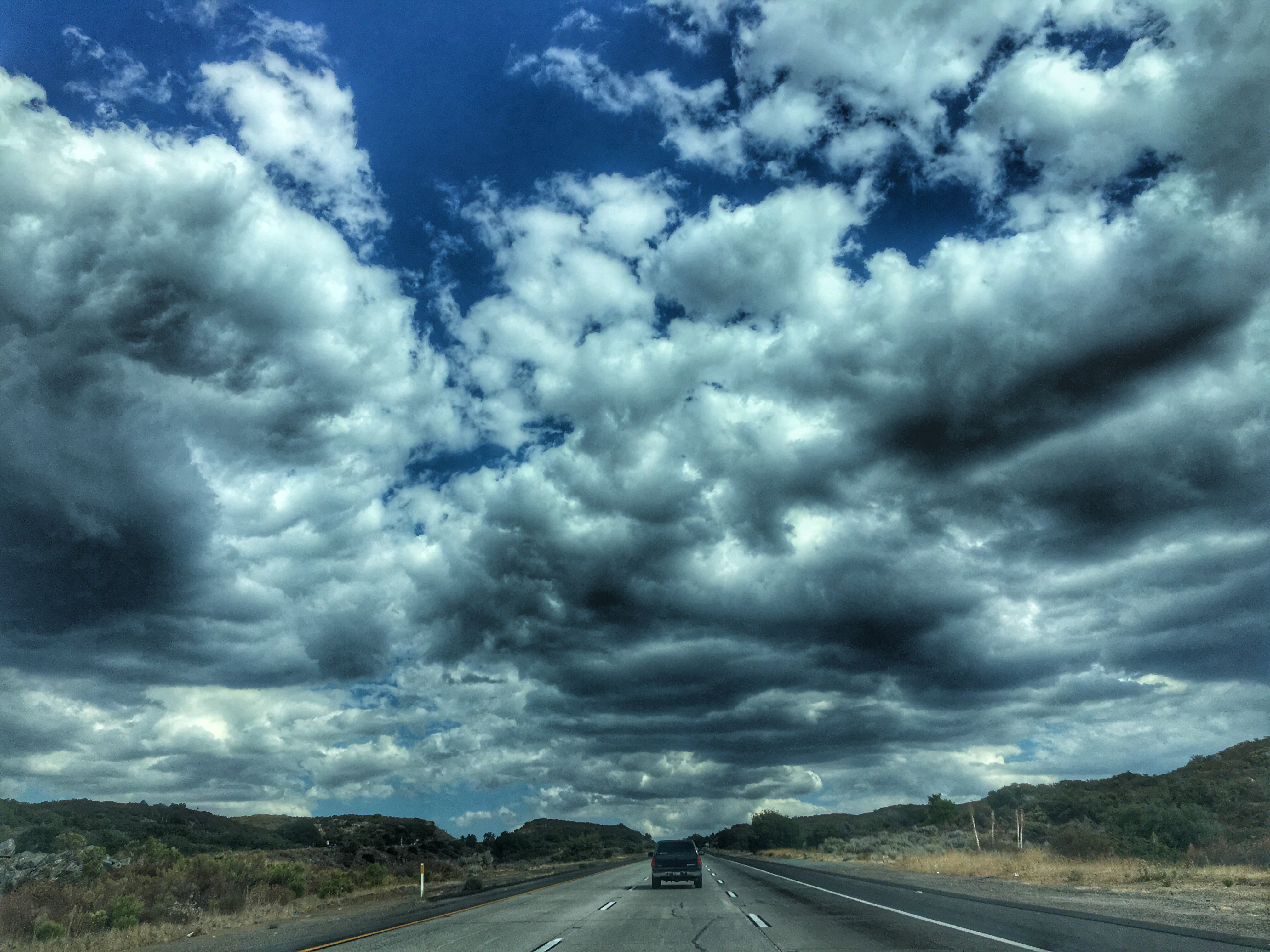
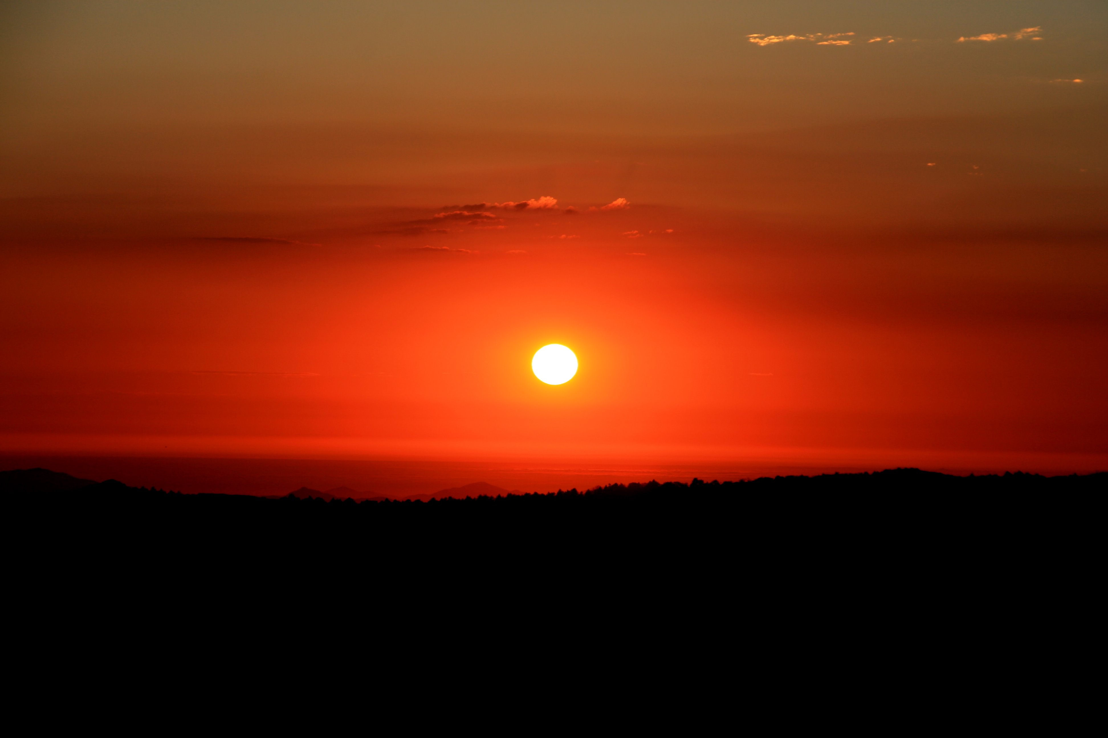
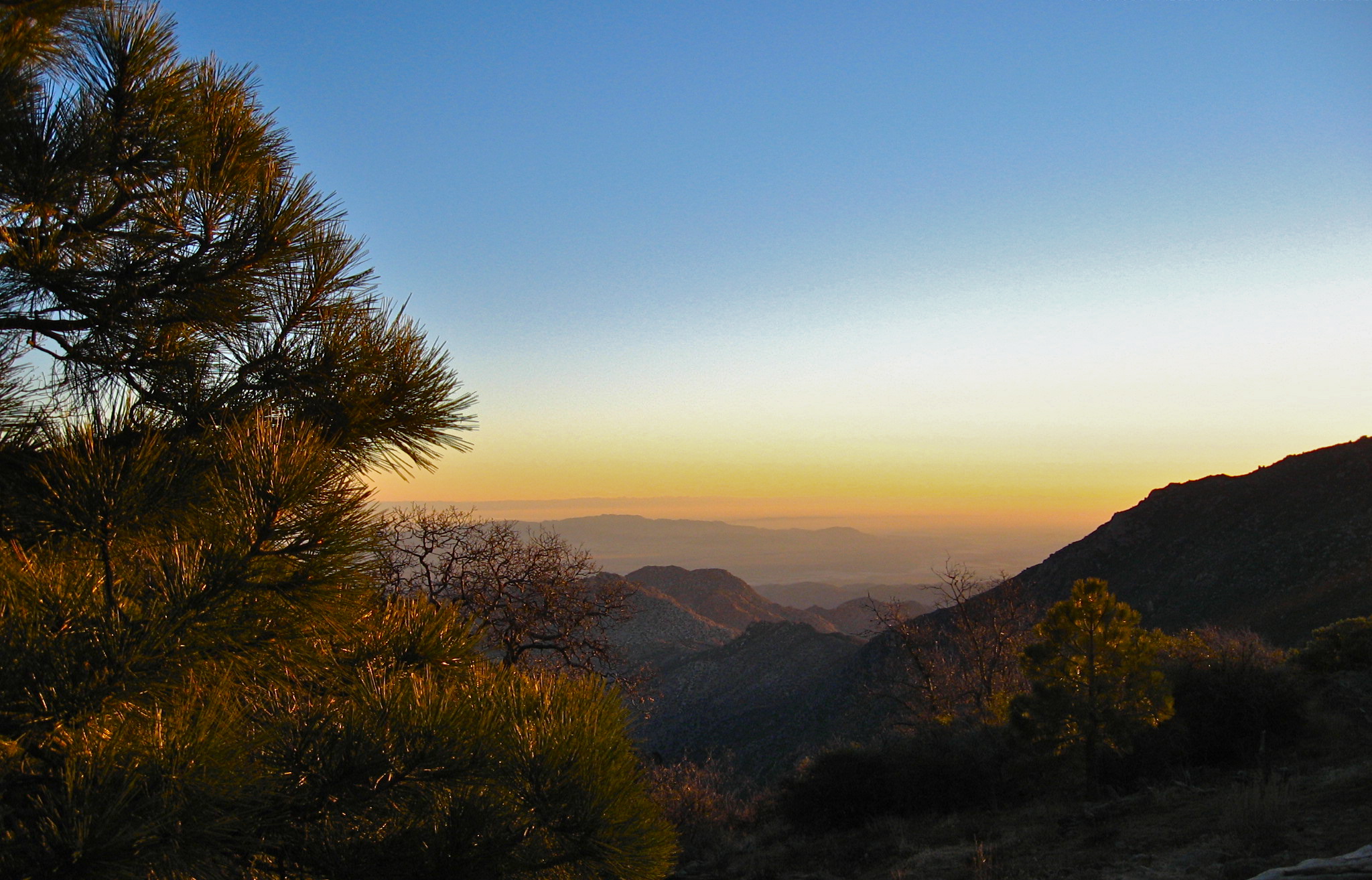
Fotos

Golden Hour at the Gate
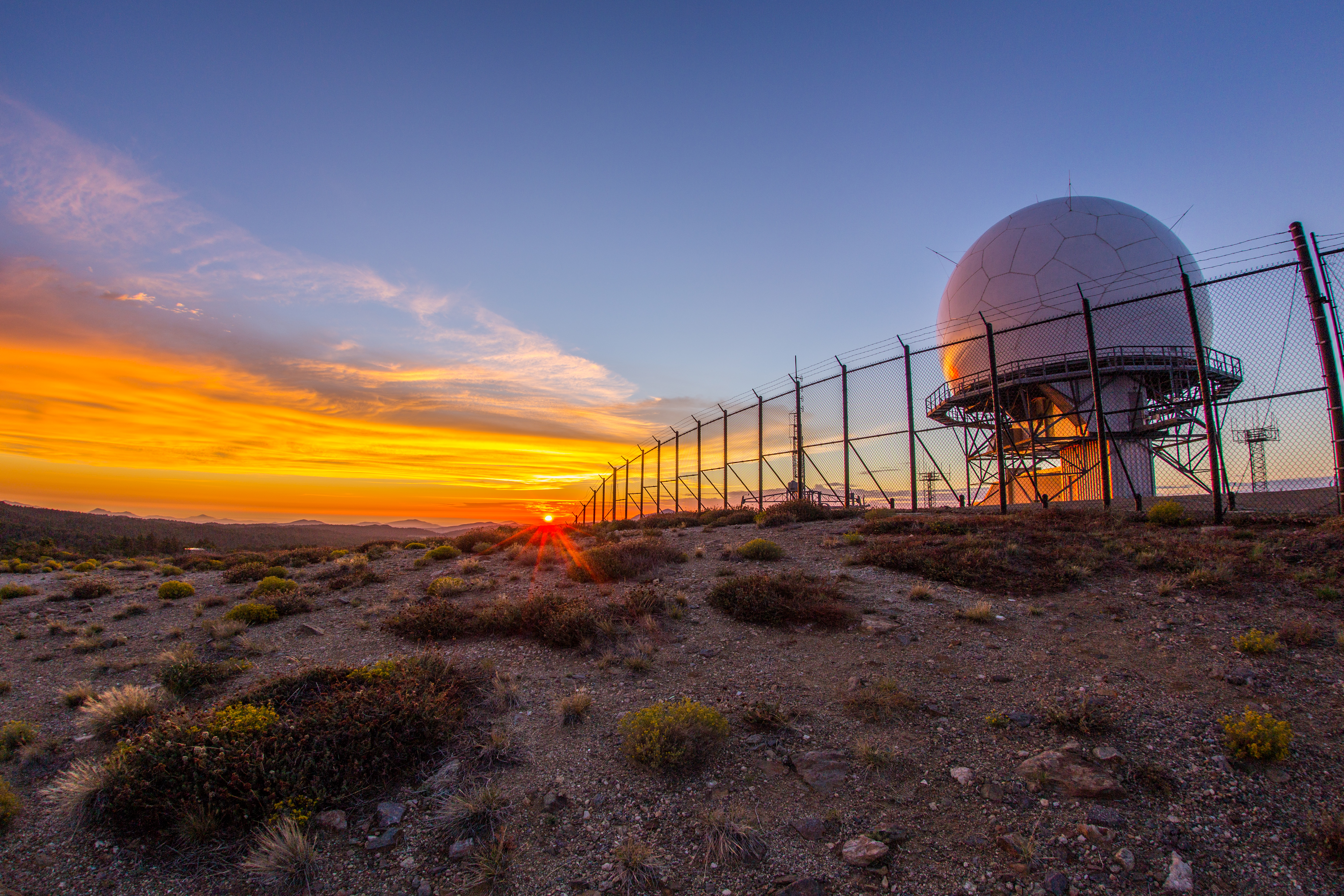
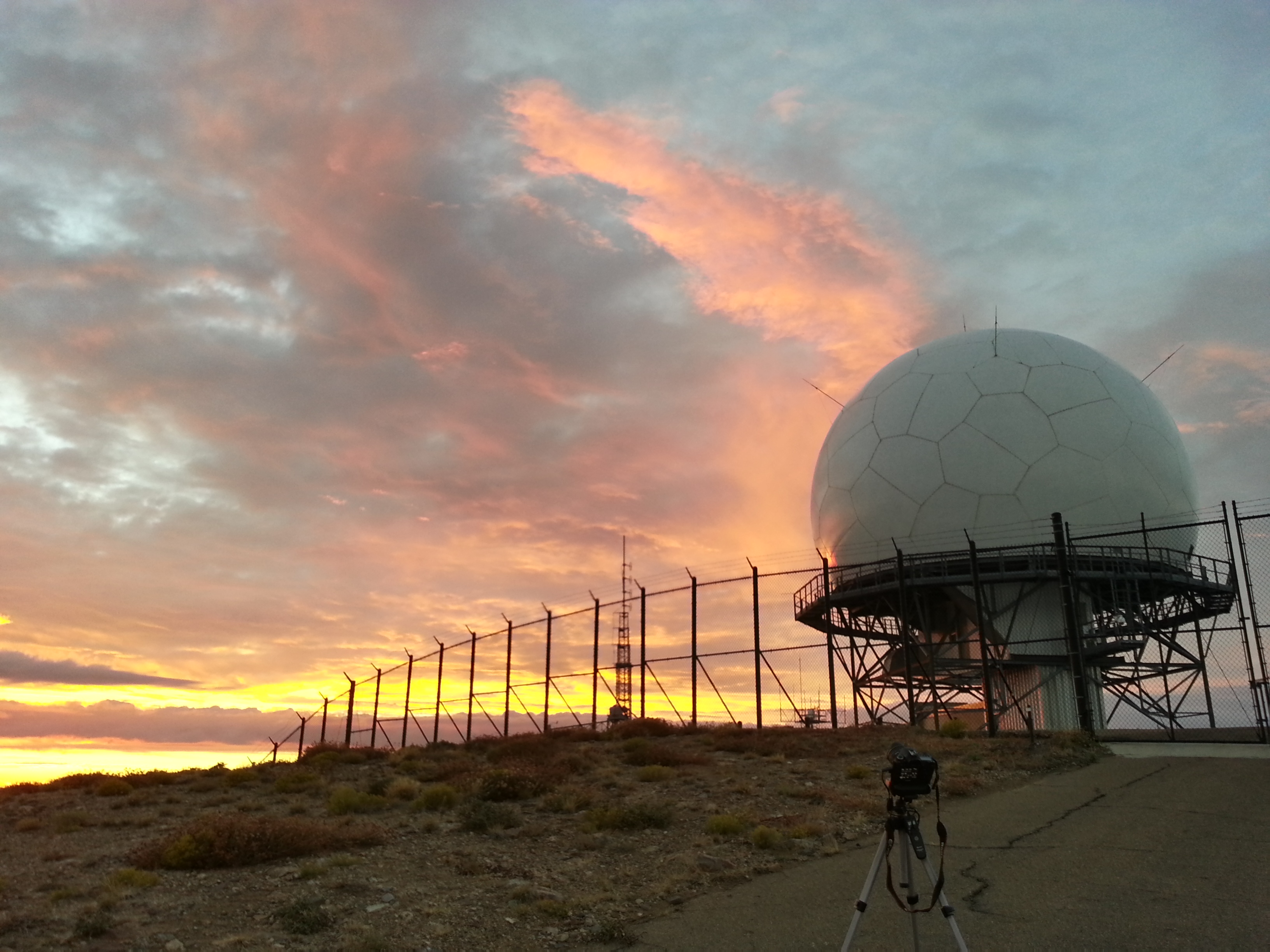
Colorful sunset at the Mount Laguna radar dome.
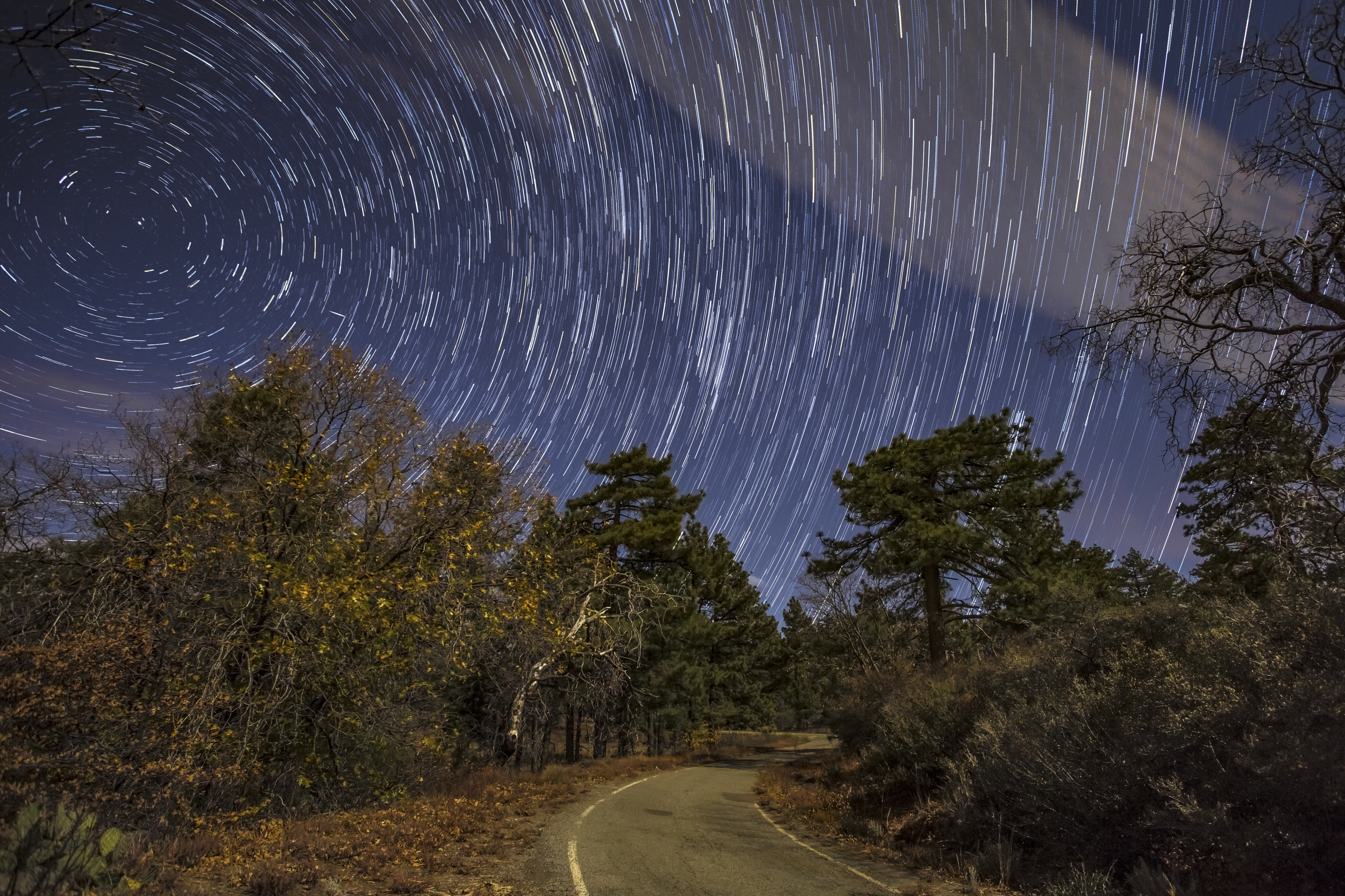
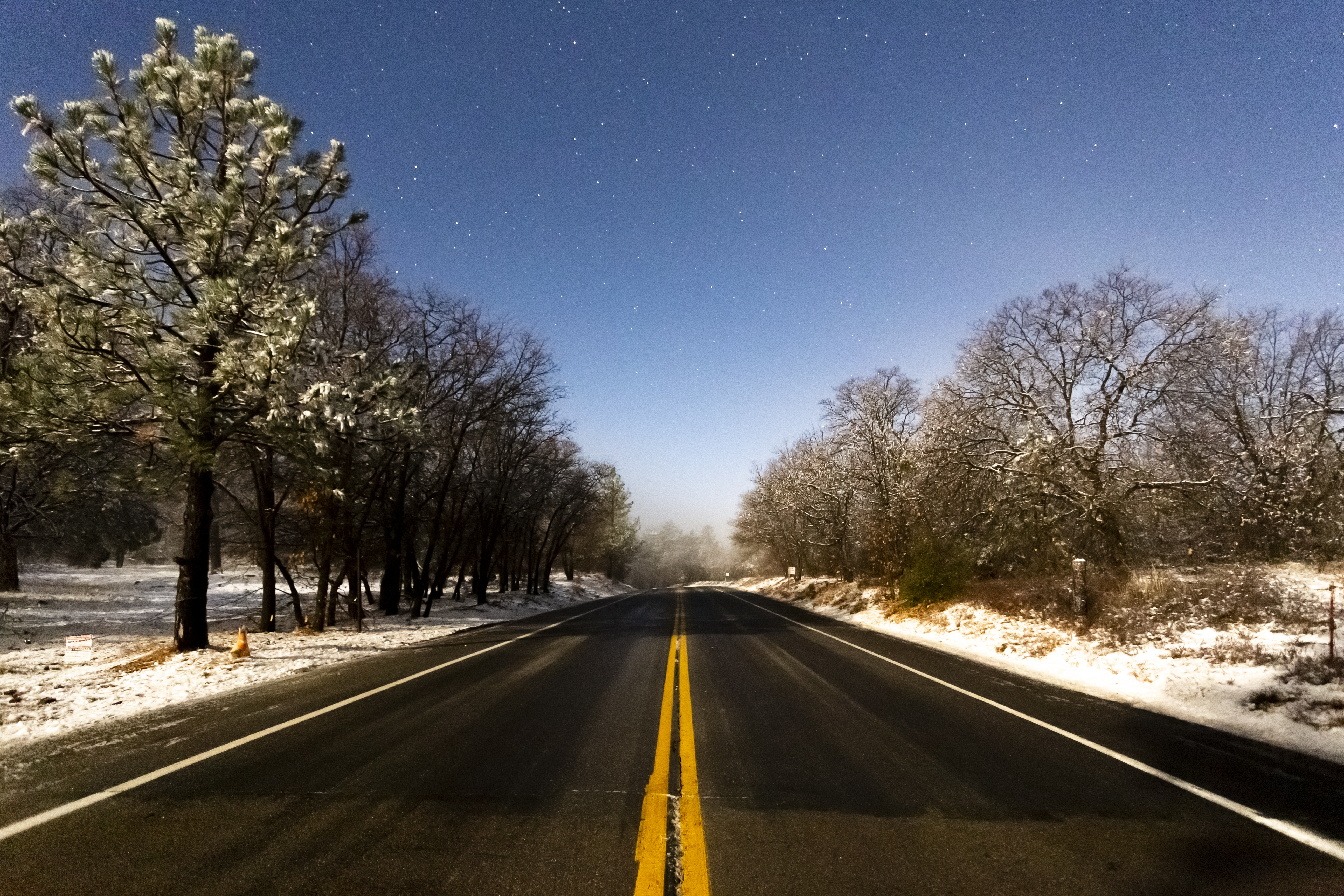
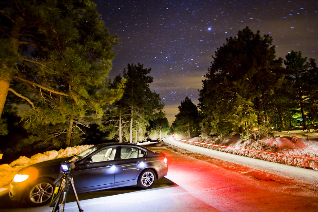
Take Me Home, Star Trails Road

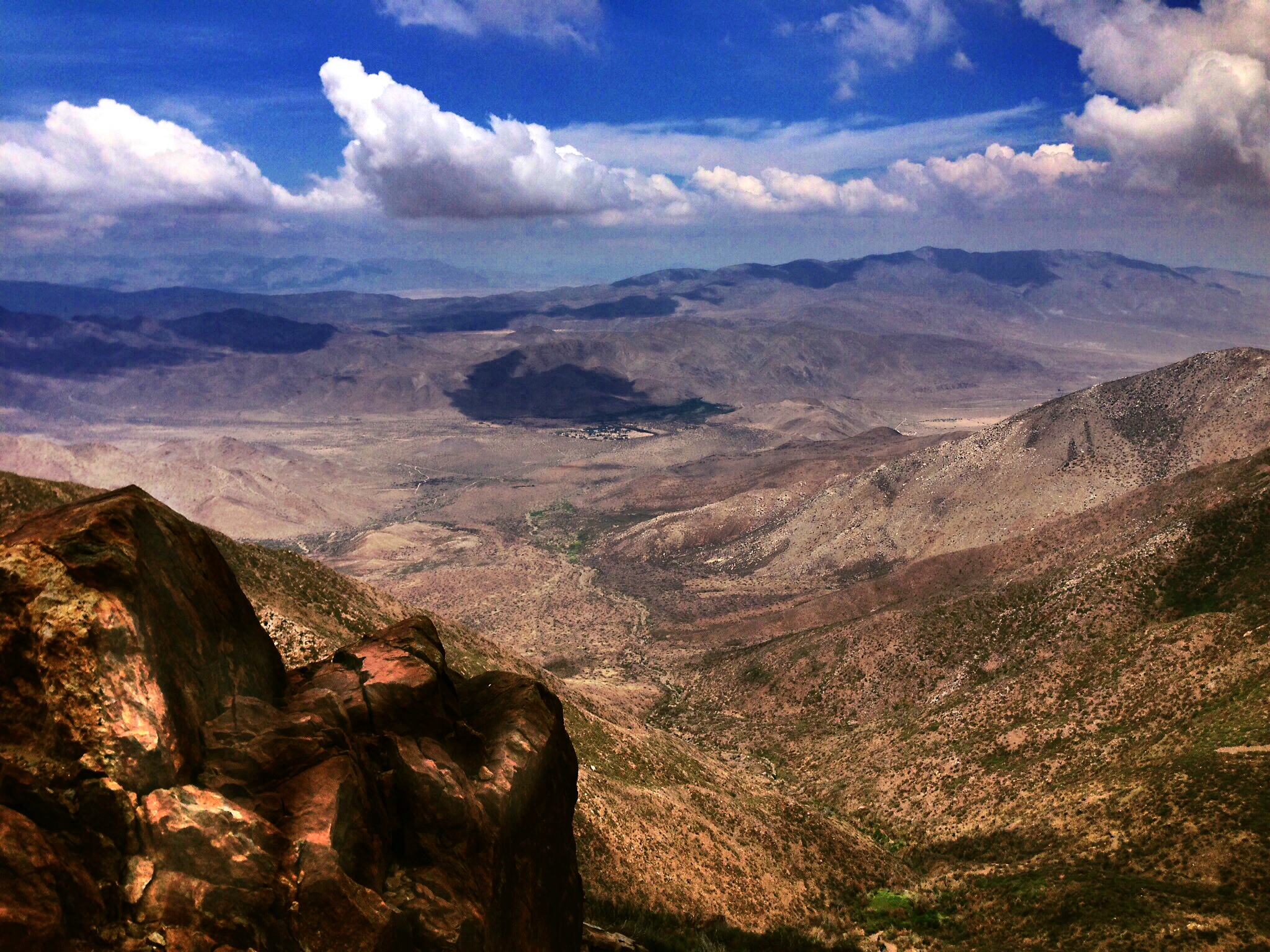
Sunset on the Anza-Borrego
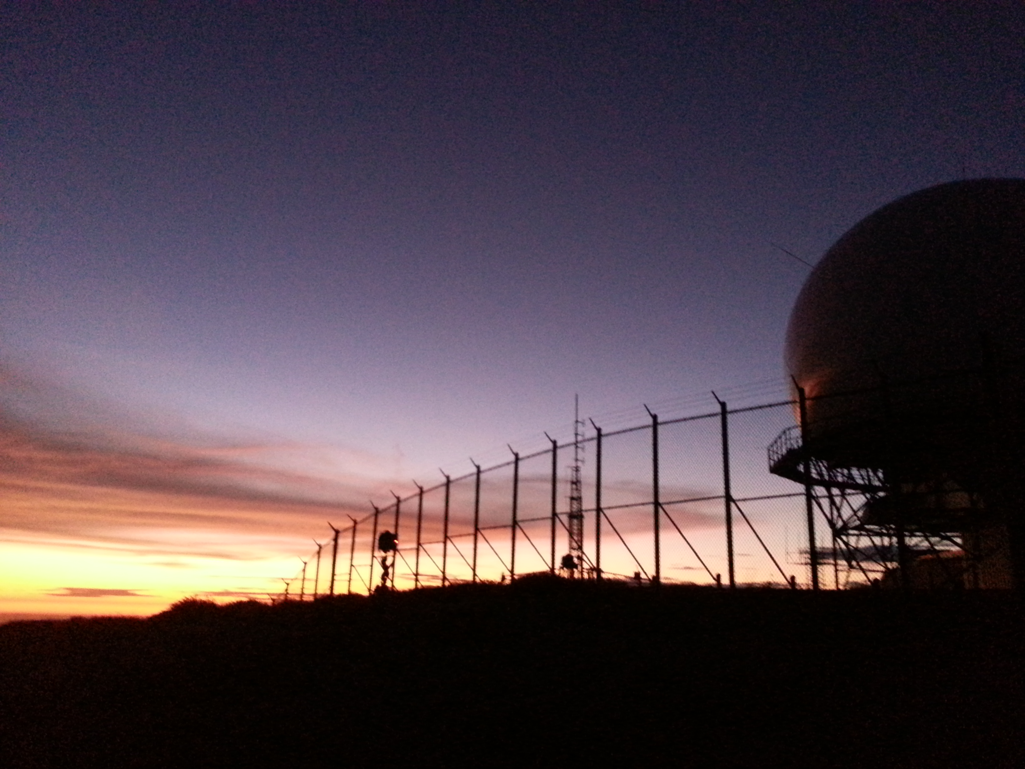
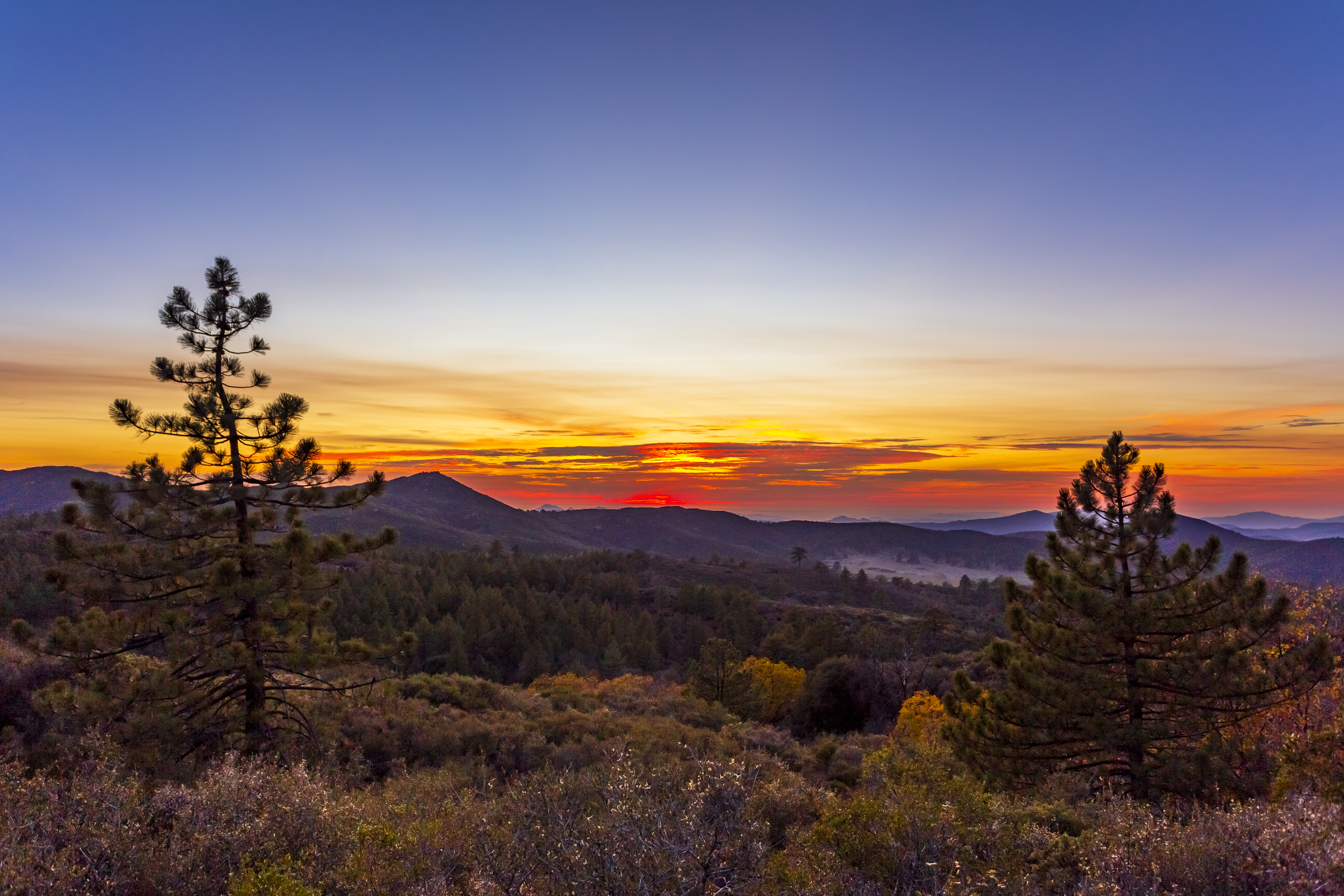
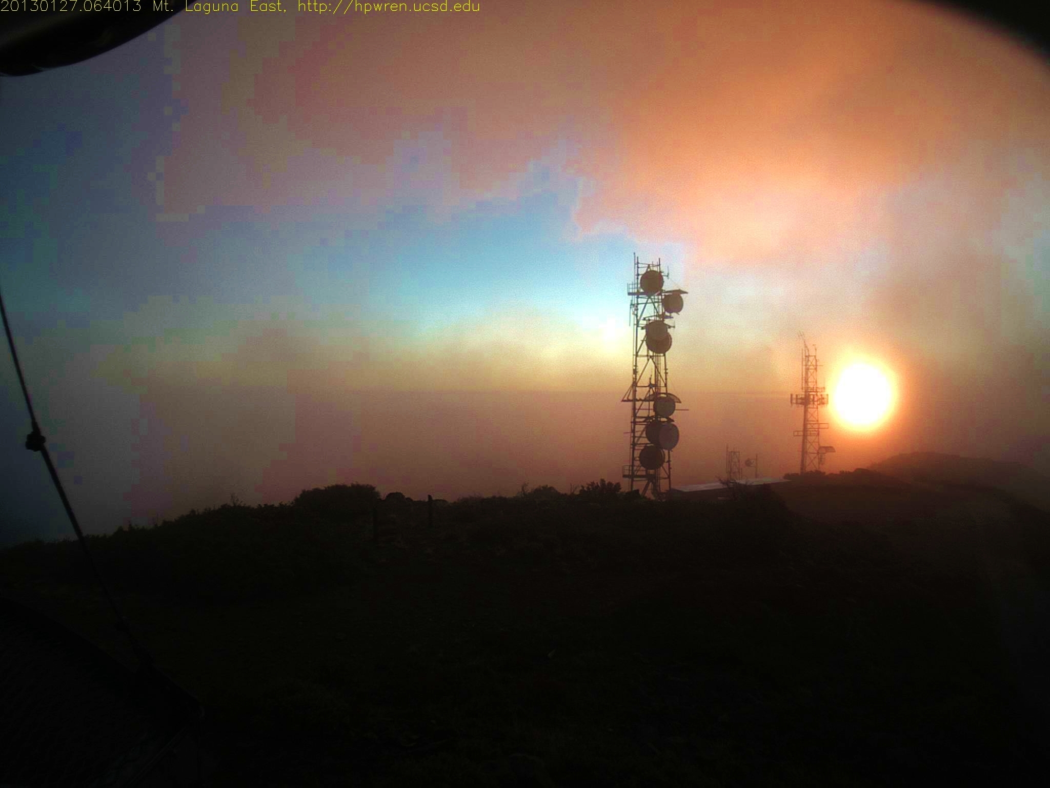
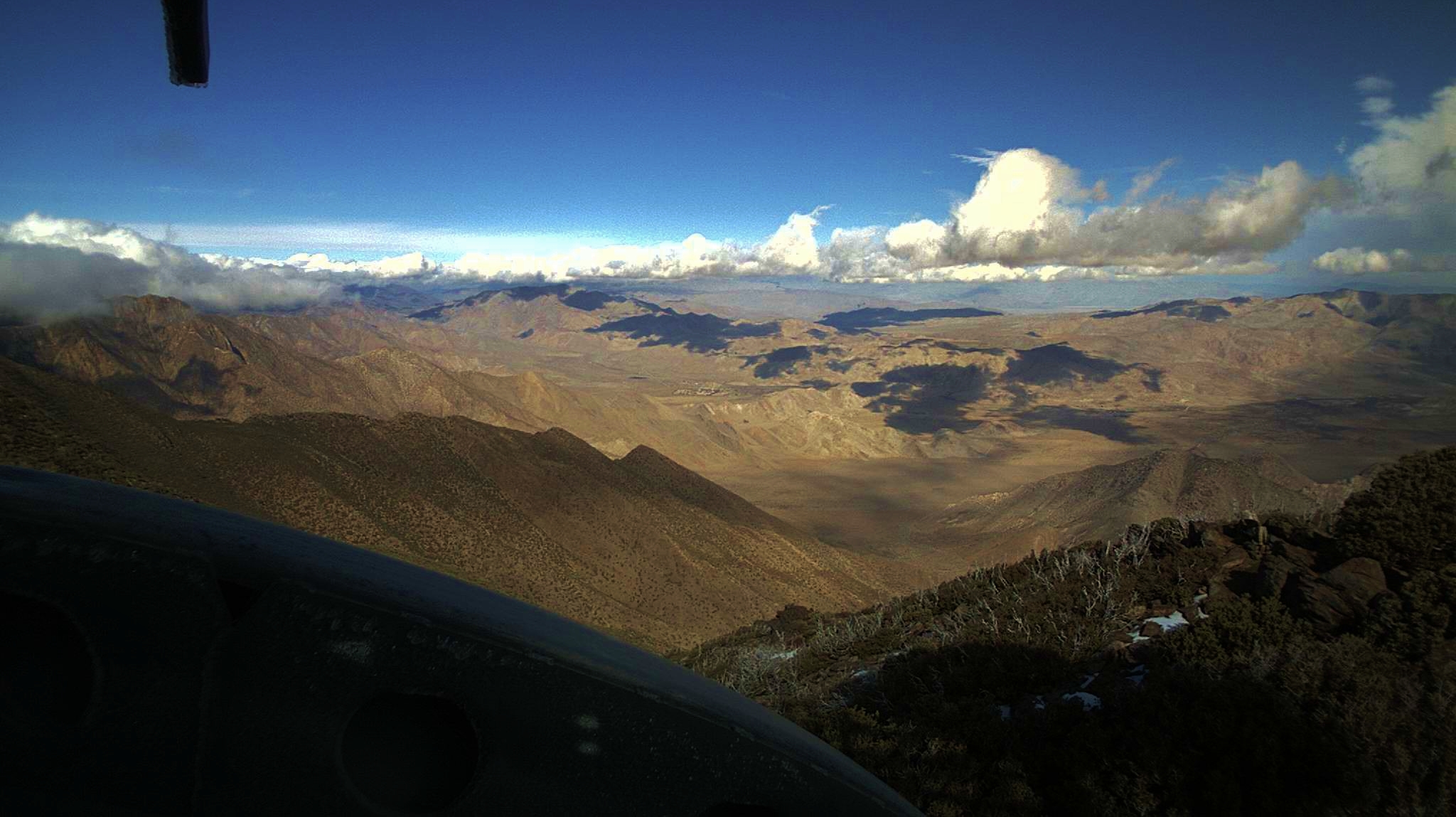
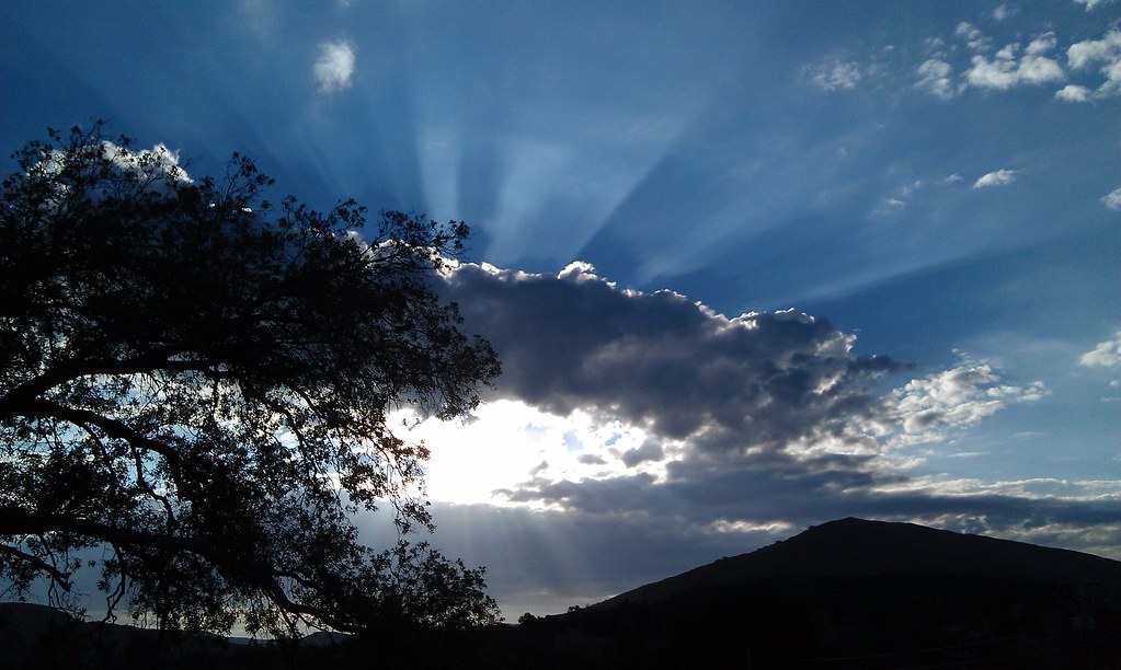
Mt Laguna east view at sunset
Shooting sunset time lapse at Mount Laguna.

Dark and Deep
Sunset time lapse at Mount Laguna.
Tonight's sunset seen from Mount Laguna, California
Horizontal Lightning Over Bombay Beach at the Salton Sea

Pacific Crest Trail, 2018

Ruins of the Buckman homestead along Old Highway 80 During Blue Hour
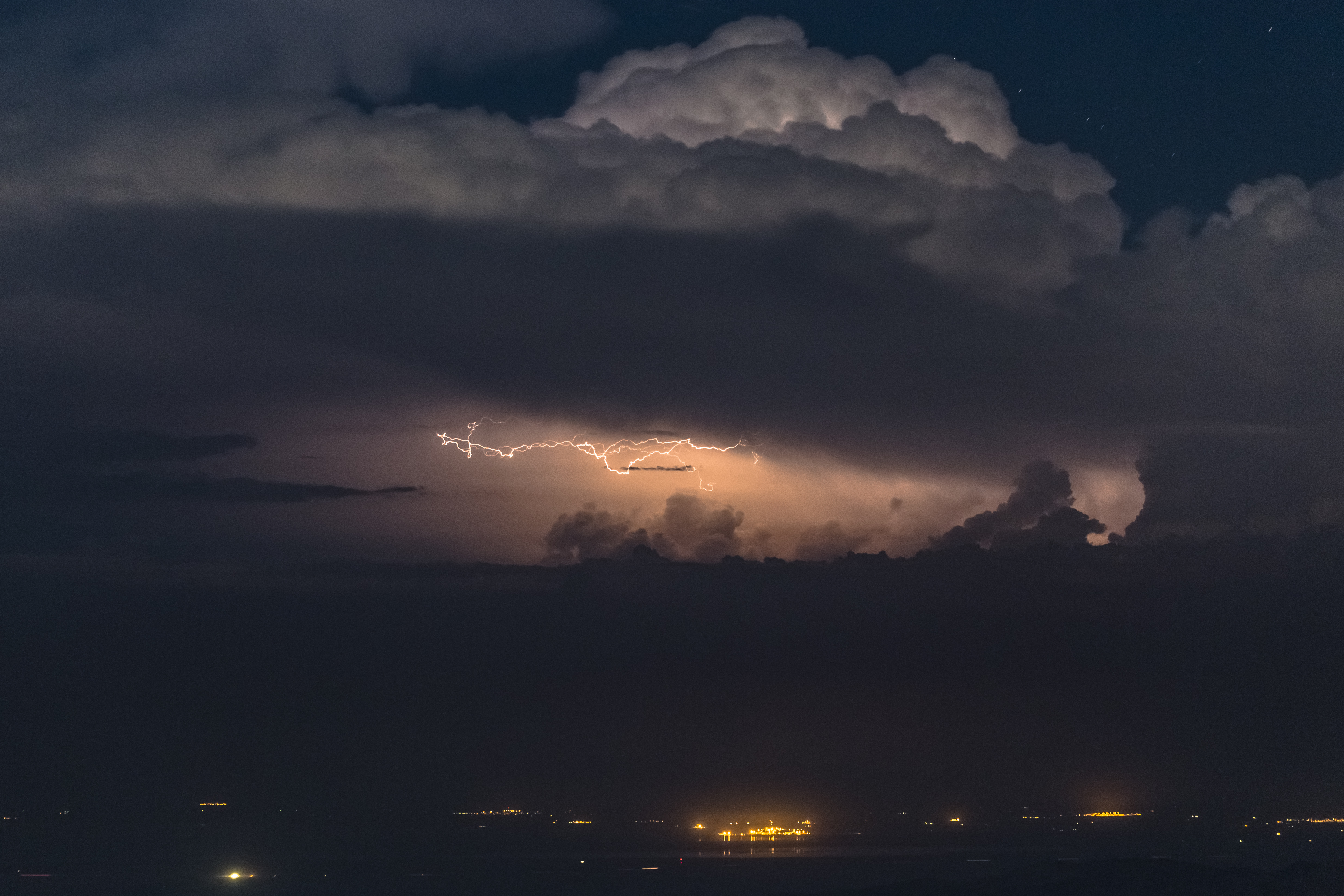
Lightning strike over El Centro, California
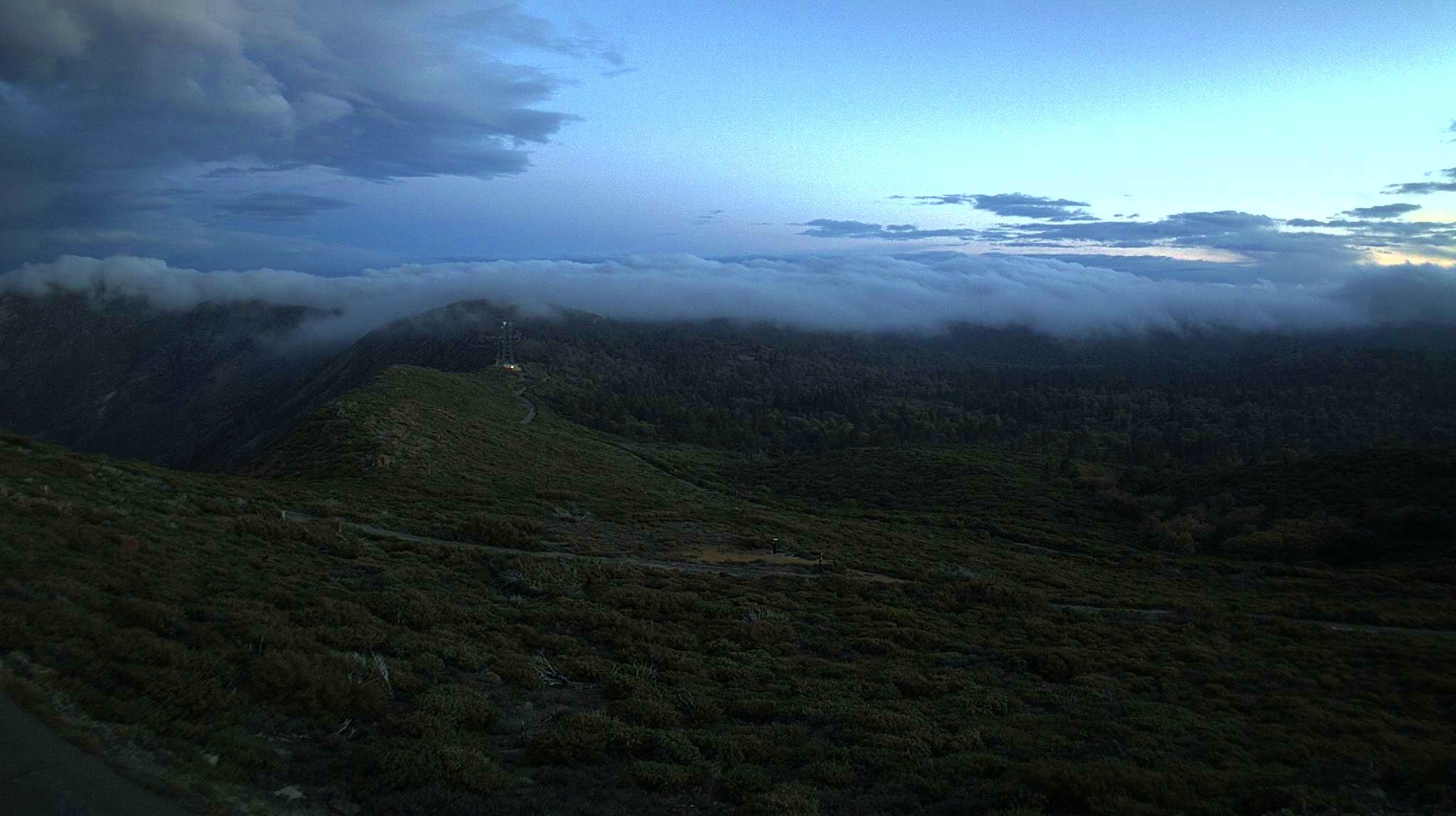
Waterfall of clouds
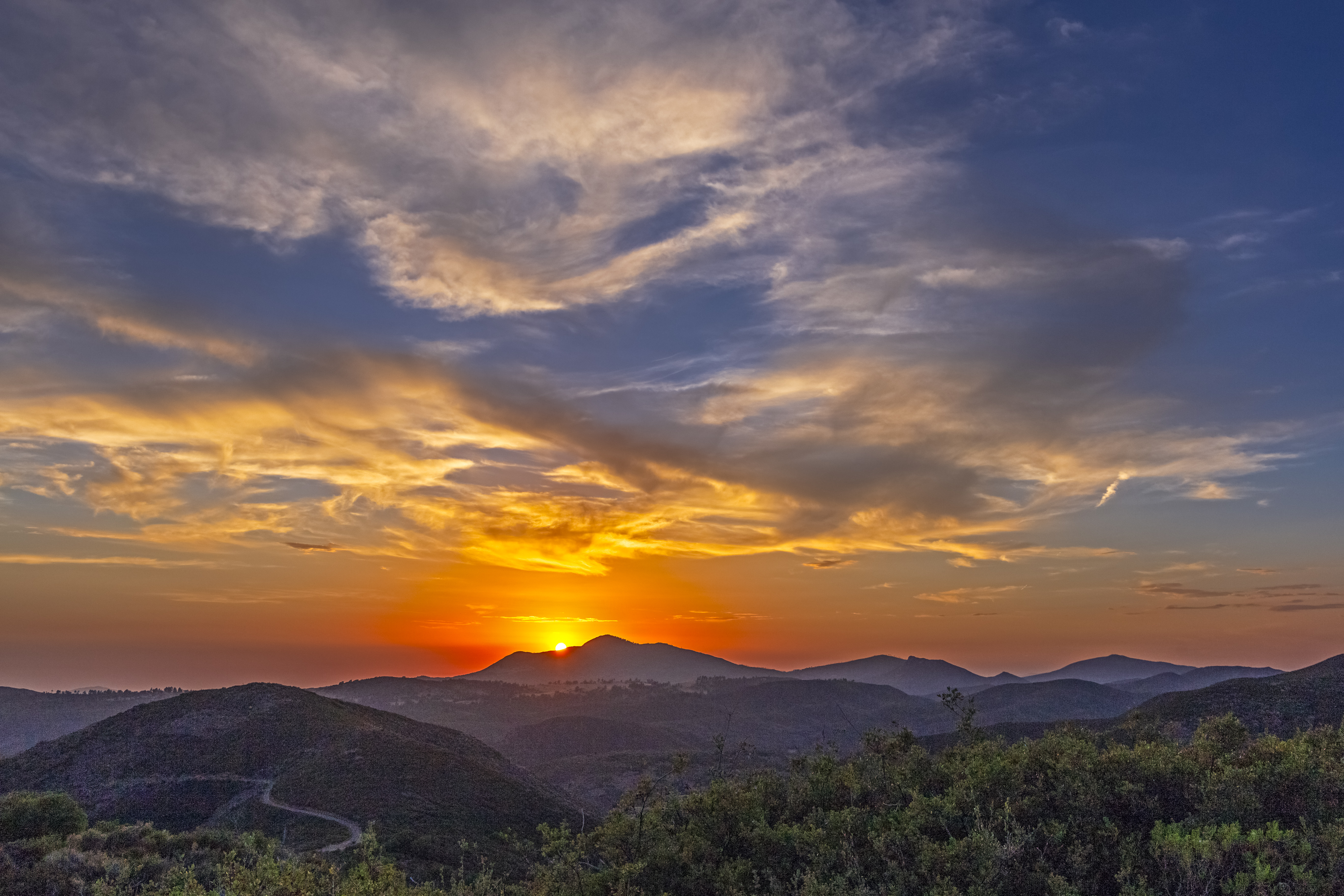
Sunset Over Cuyamaca Peak

Lake Morena
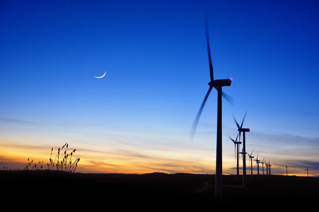
The Wind Farm
A Stunning Sunset from Sunrise Highway @ Mt.Laguna, Julian, CA
U.S. Highway 80
Before sunset
tecate divide #cpmsunsetprj
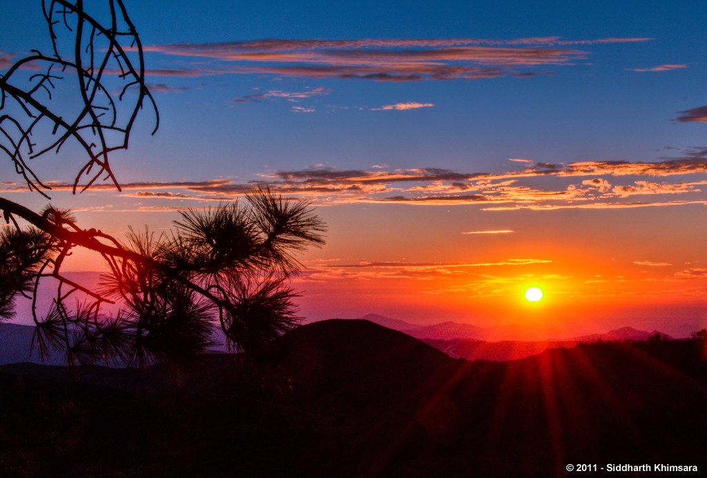
1/100 First day sunrise...
Mt Laguna view: Desert sunrise 12~12~2012
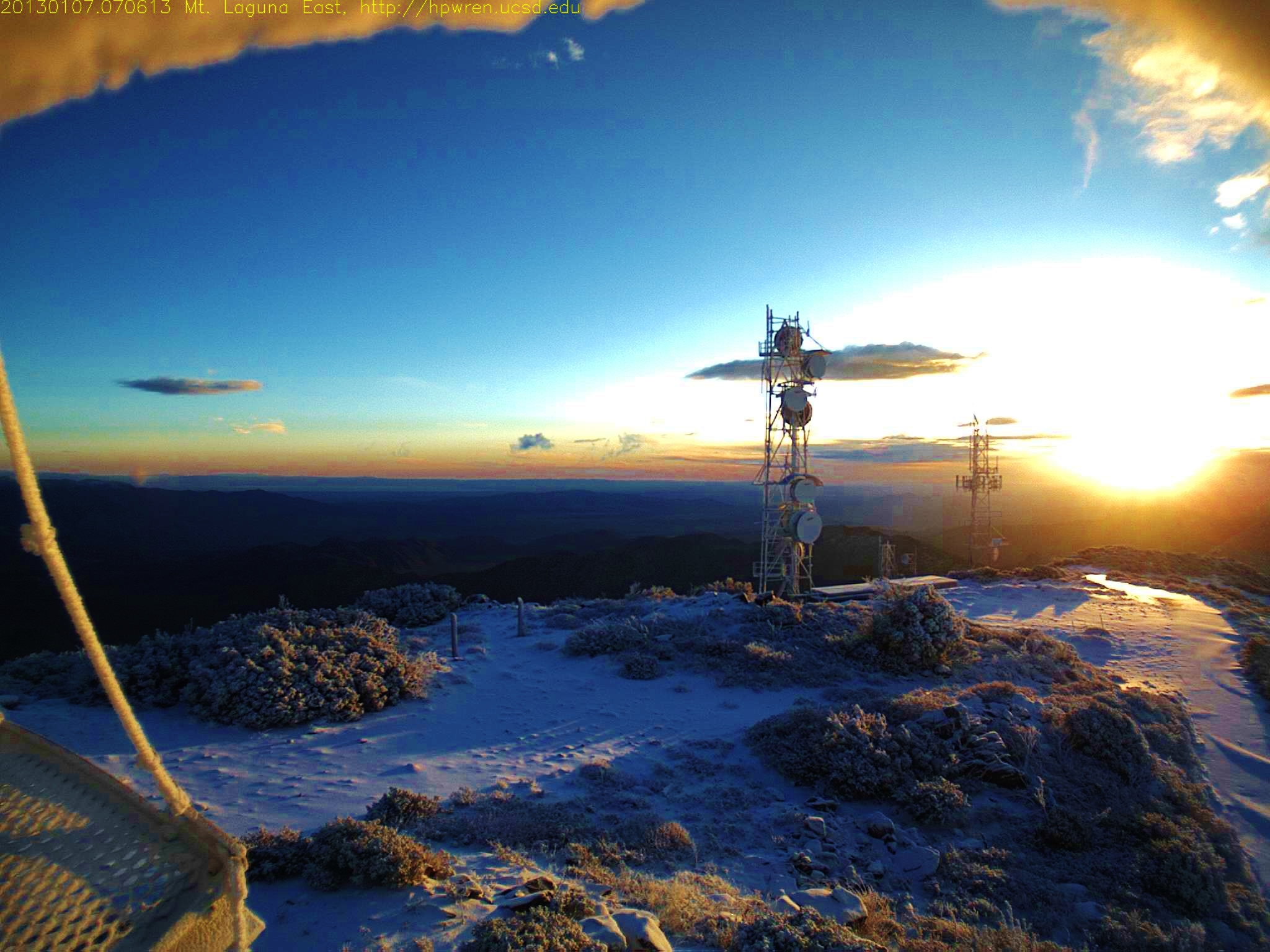
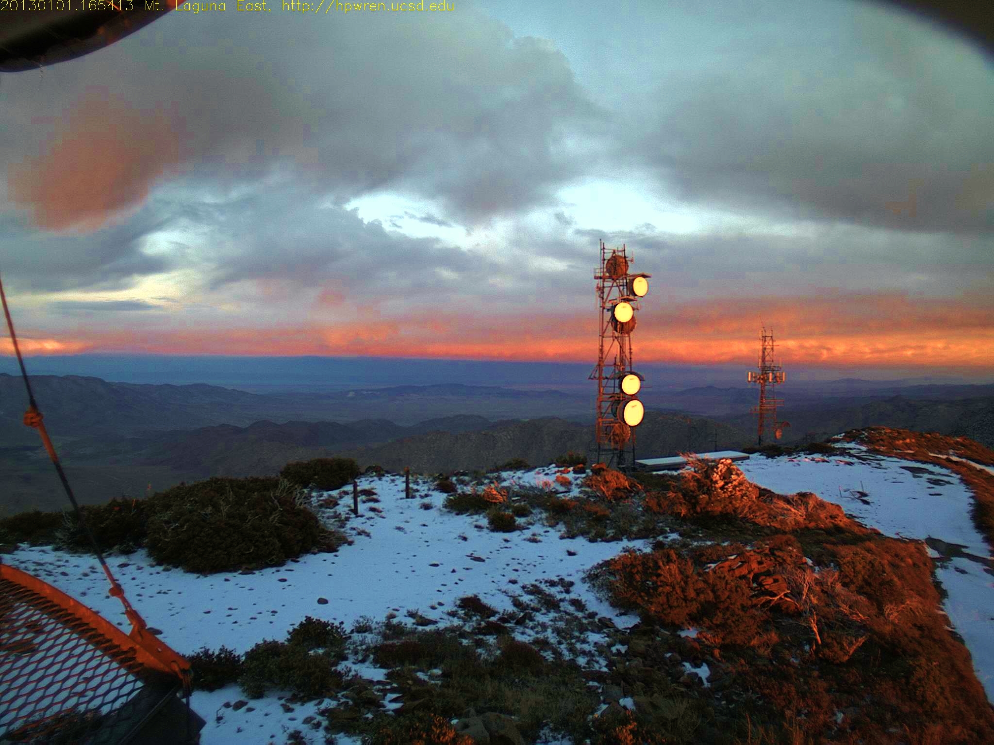
Mt Laguna east view at sunrise after overnight snow 1357571173.jpg 07-Jan-2013 0706 AM PST
First Snow of the Season. Sunrise Highway in Mount Laguna
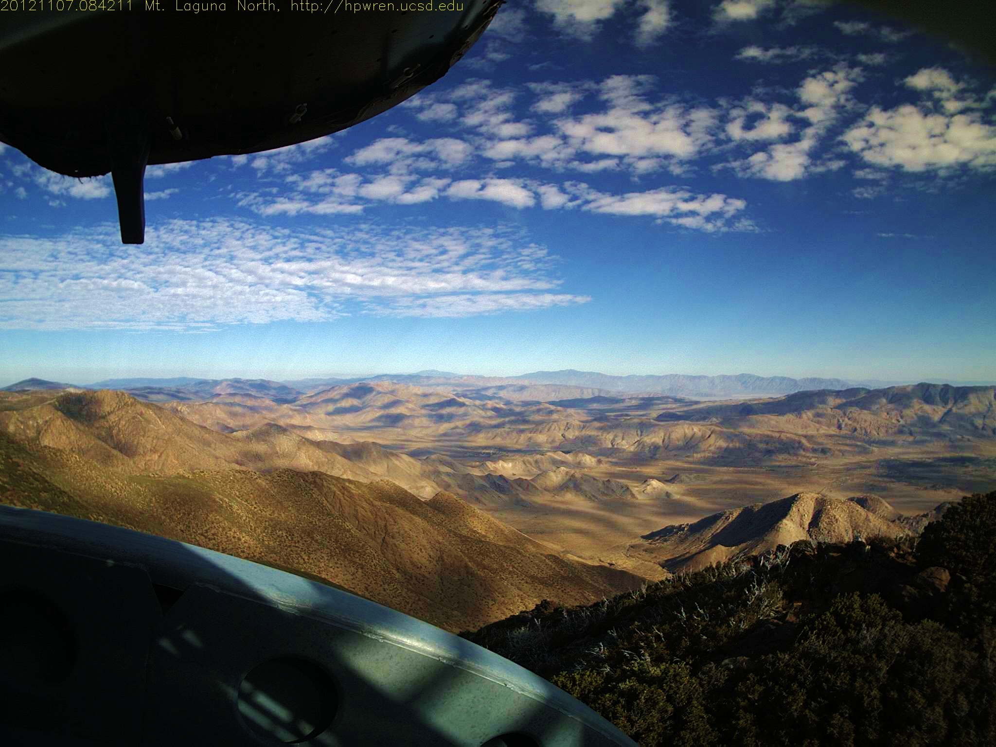
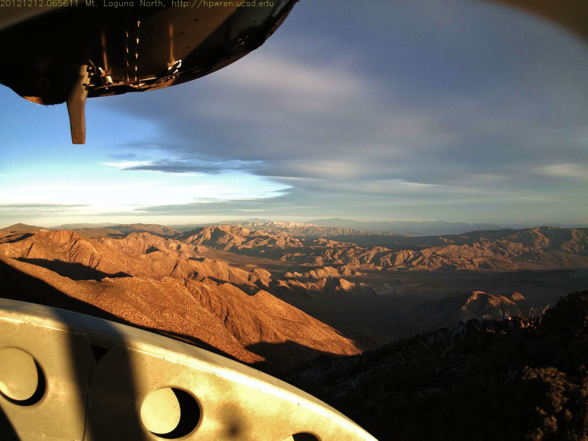
Mt Laguna North view 07-Nov-2012 08:42 AM PST
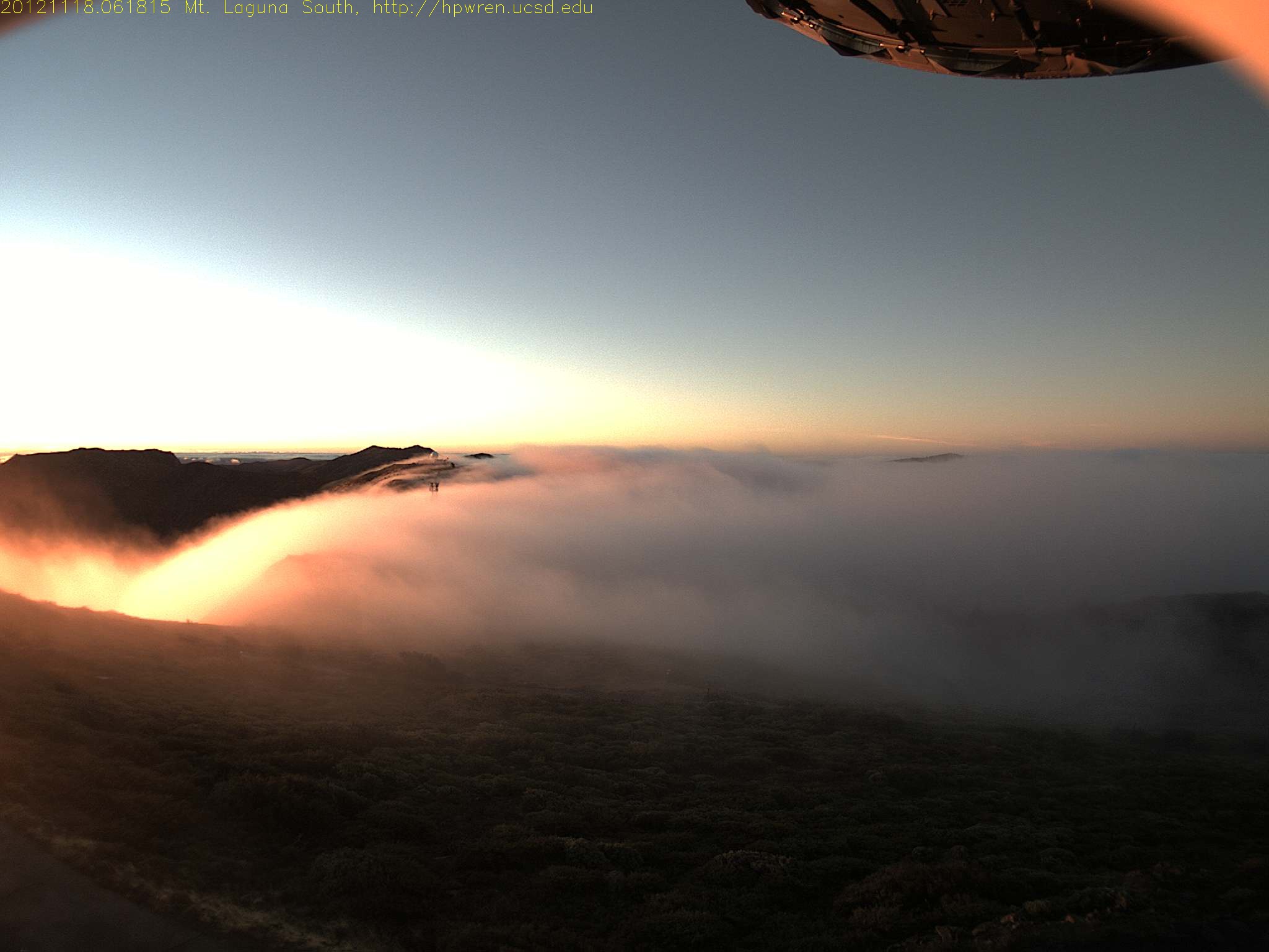
Early morning mist, sunrise at Mt Laguna
Mt Laguna east view at sunrise
sunrise desert view 1
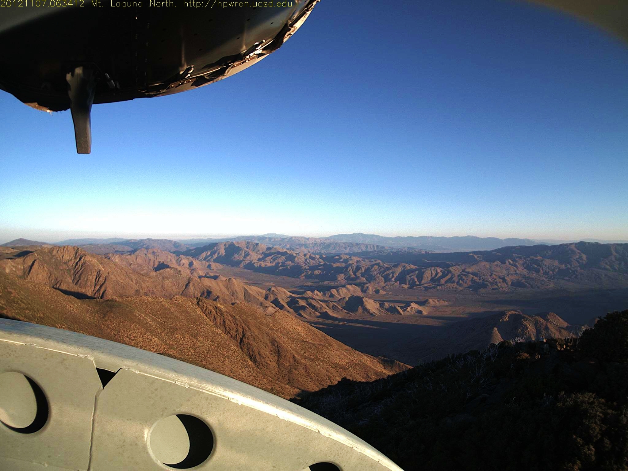
Mt Laguna North view 07-Nov-2012 06:34 AM PST
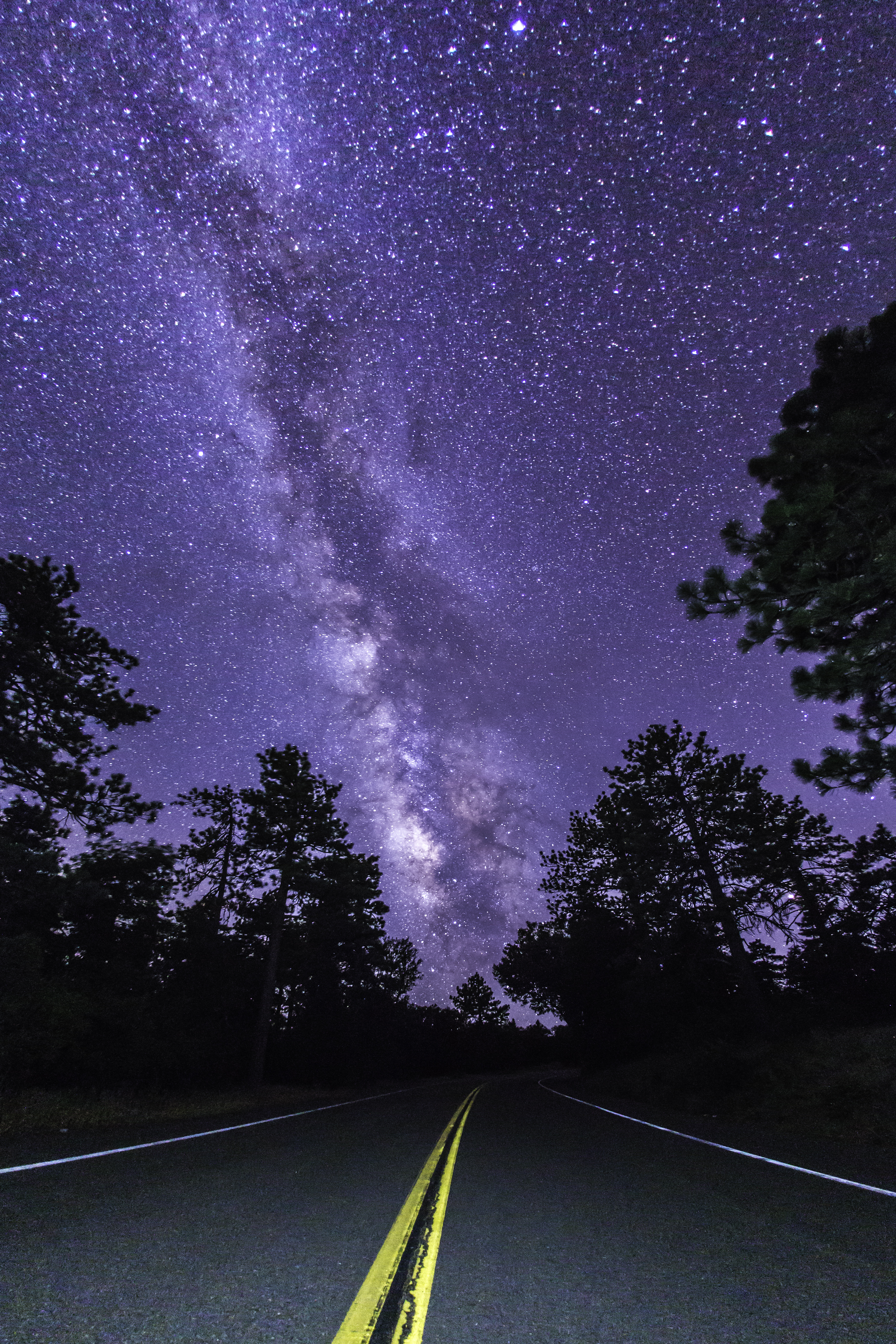
Highway to the Milky Way
Mt Laguna North view
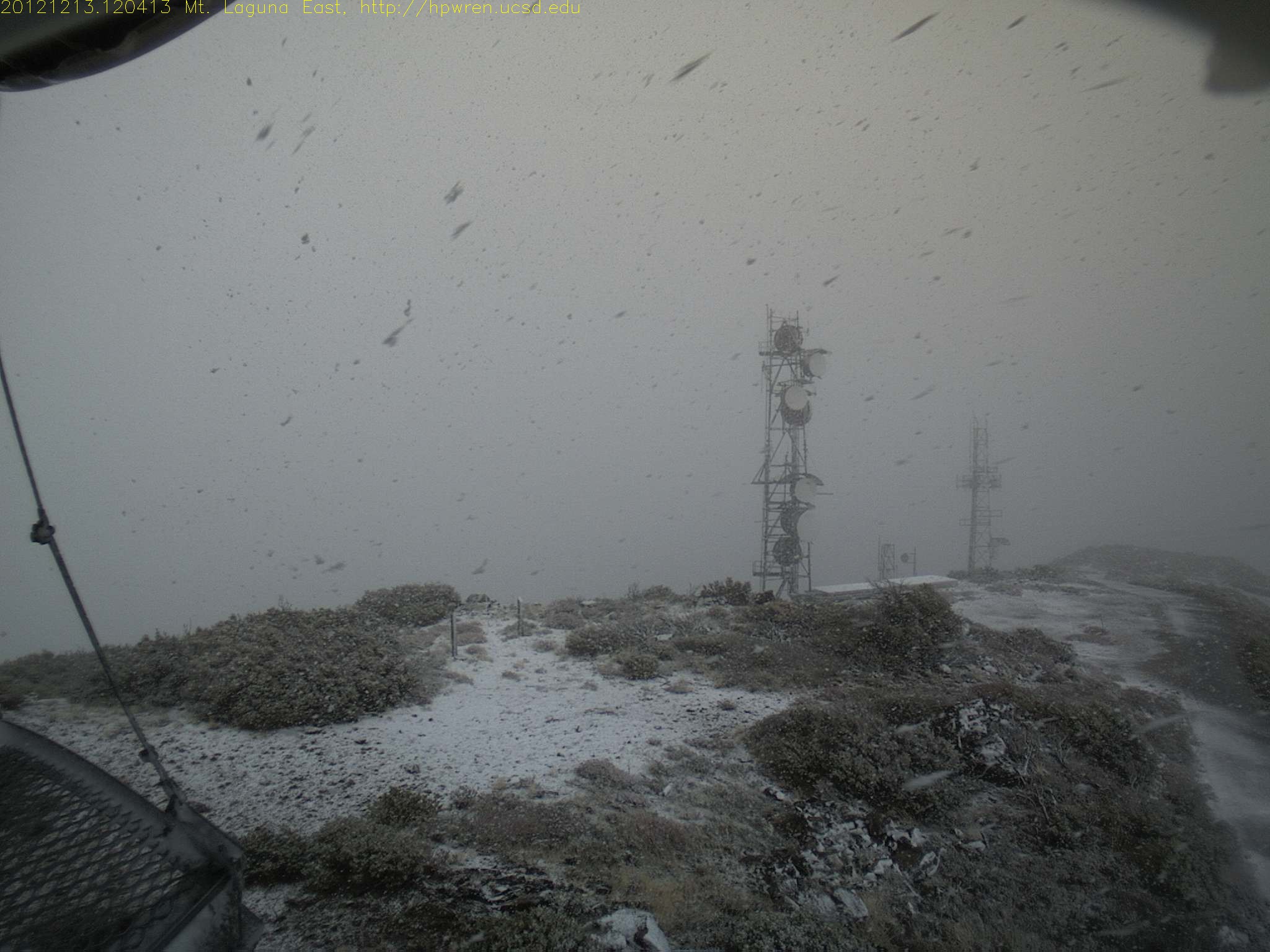
Mt Laguna east view during a snowfall
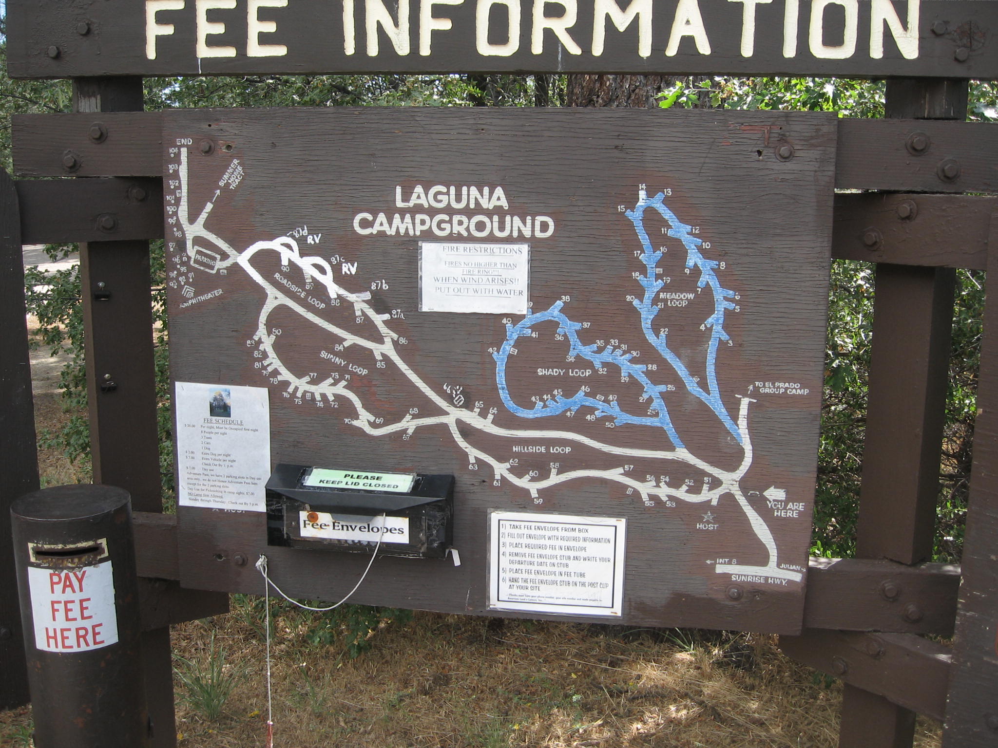
Map of Laguna Campground 8-2-2011 -- for a larger view LEFT CLICK ON THE IMAGE - the blue loops are reservable - the campground is open all year - Campground hosts at 619-473-2082 - The best tent campsite I've ever seen is #85
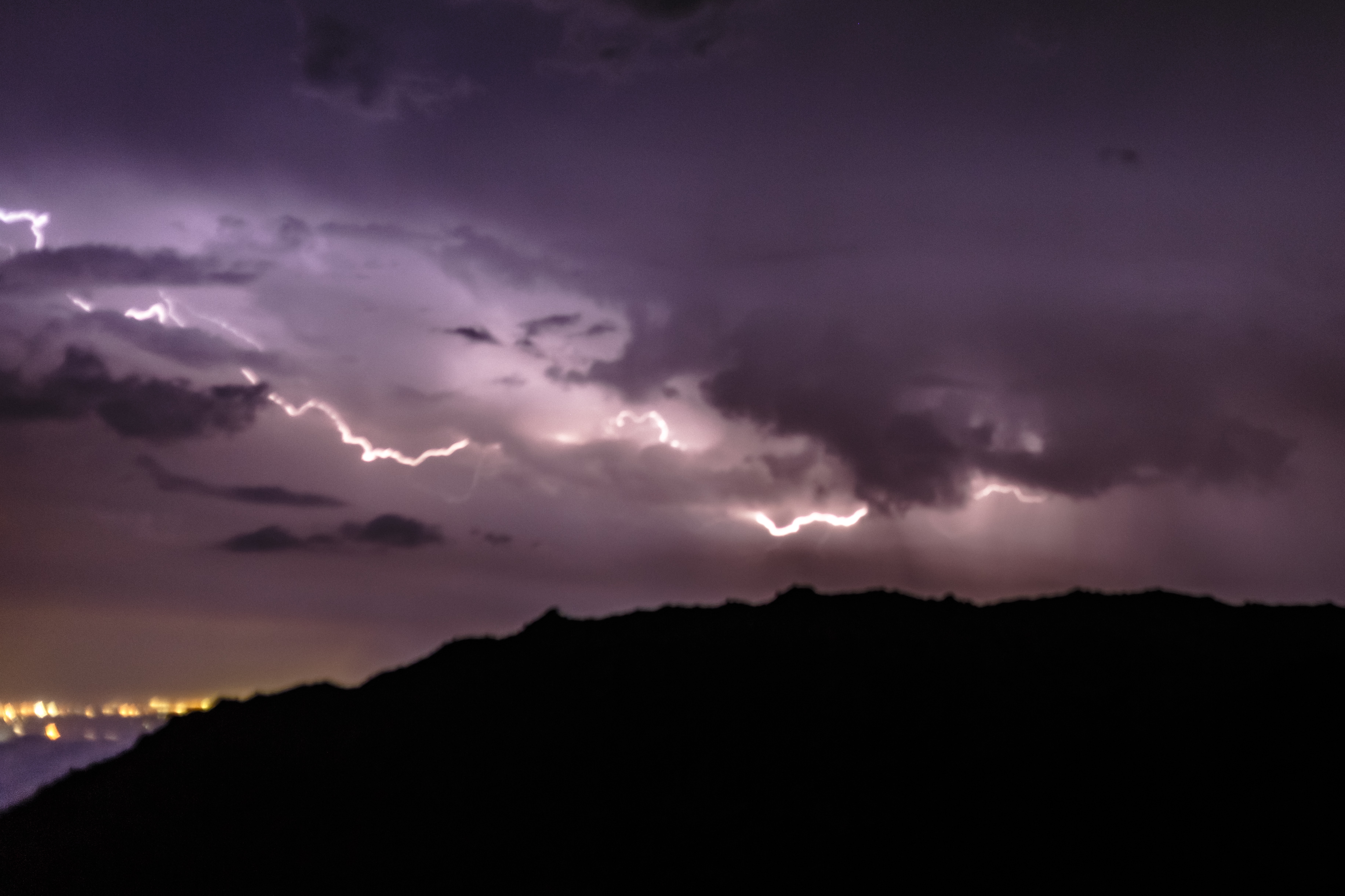
Sunrise after thunderstorm
#mtlaguna #sunrisehwy #PacificCrestTrail #california #iphone
Lights, Camera, Action!!!
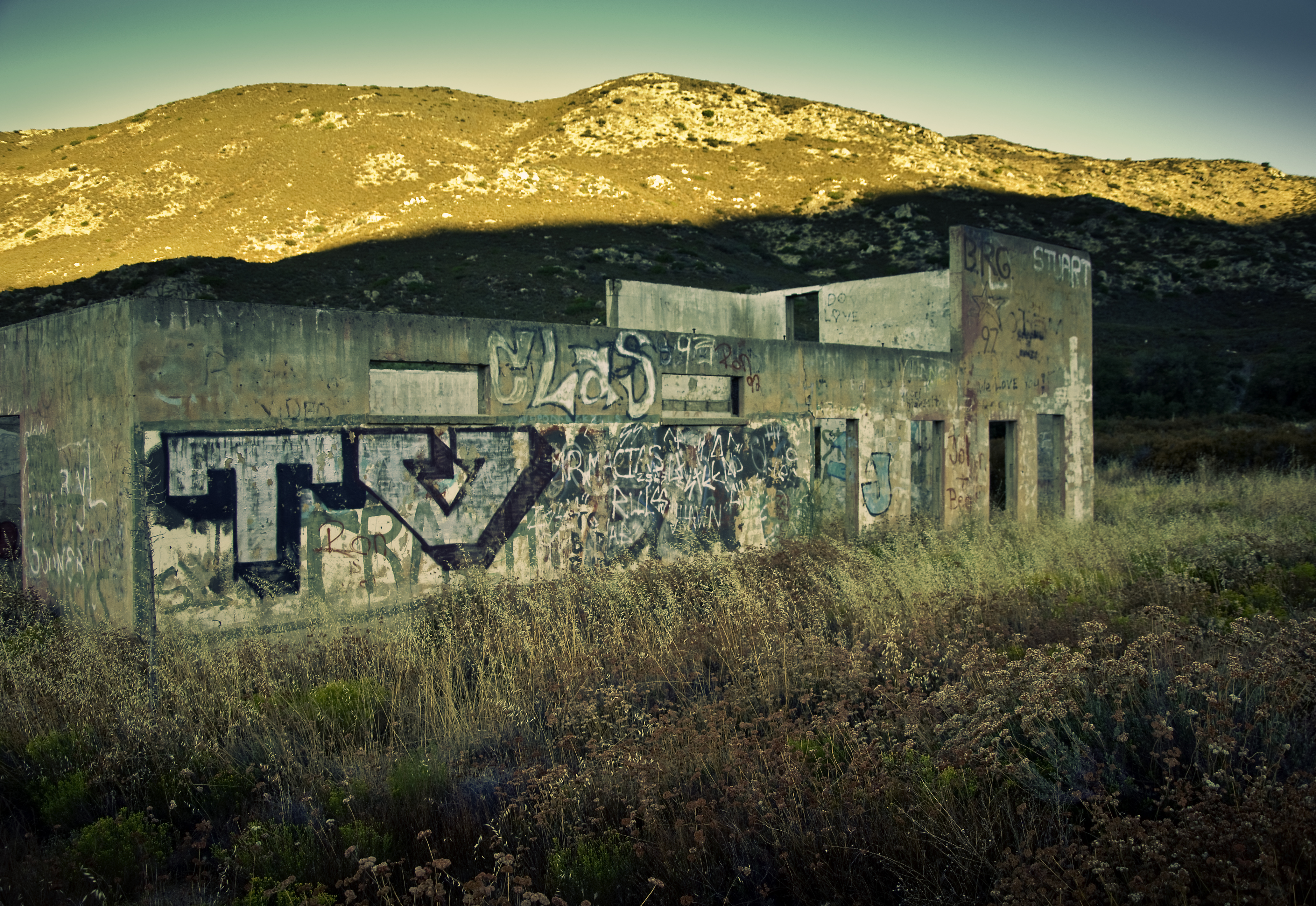
TV Gospel - Sunkissed!
Buckman Springs Rest Area, San Diego, Kalifornien, USA Karte
Suchen Sie einen anderen Ort
Nahe Plätze
Boulder Oaks, CA, USA
Paprika Road, Paprika Rd, Campo, CA, USA
Bass Rd, Campo, CA, USA
Pine Valley, CA, USA
Swan Dr, Campo, CA, USA
Morena View Dr, Campo, CA, USA
Lilac Ln, Pine Valley, CA, USA
Lebanon Rd, Pine Valley, CA, USA
Lone Pine Trail, Pine Valley, CA, USA
Laguna Mountains, California, USA
Lake Morena Drive, Lake Morena Dr, Campo, CA, USA
Lake Morena Dr, Campo, CA, USA
Buckman Springs Rd, Campo, CA, USA
Guatay, CA, USA
Mount Laguna, Mt Laguna, CA, USA
Dewey Pl, Campo, CA, USA
Laguna Campground, Pine Valley, CA, USA
Mount Laguna, Monument Peak Rd, California, USA
Sheridan Road, Sheridan Rd, Campo, CA, USA
Monument Peak, California, USA
Letzte Suche
- Red Dog Mine, AK, USA Sonnenaufgang Sonnenuntergang Zeiten
- Am Bahnhof, Am bhf, Borken, Germany Sonnenaufgang Sonnenuntergang Zeiten
- 4th St E, Sonoma, CA, USA Sonnenaufgang Sonnenuntergang Zeiten
- Oakland Ave, Williamsport, PA, USA Sonnenaufgang Sonnenuntergang Zeiten
- Via Roma, Pieranica CR, Italien Sonnenaufgang Sonnenuntergang Zeiten
- Glockenturm, Grad, Dubrovnik, Kroatien Sonnenaufgang Sonnenuntergang Zeiten
- Trelew, Chubut Province, Argentina Sonnenaufgang Sonnenuntergang Zeiten
- Hartfords Bluff Cir, Mt Pleasant, SC, USA Sonnenaufgang Sonnenuntergang Zeiten
- Kita-ku, Kumamoto, Präfektur Kumamoto, Japan Sonnenaufgang Sonnenuntergang Zeiten
- Pingtan Island, Pingtan County, Fuzhou, China Sonnenaufgang Sonnenuntergang Zeiten