Antelope Trail, Cotopaxi, CO, USA Sonnenaufgang Sonnenuntergang Zeiten
Location: USA > Colorado > Cotopaxi >
Zeitzone:
America/Denver
Ortszeit:
2025-07-05 20:58:53
Länge:
-105.6500226
Breite:
38.5348809
Sonnenaufgang Heute:
05:45:10 AM
Sonnenuntergang Heute:
08:29:51 PM
Tageslänge heute:
14h 44m 41s
Sonnenaufgang morgen:
05:45:46 AM
Sonnenuntergang Morgen:
08:29:34 PM
Tageslänge von morgen:
14h 43m 48s
Alle Termine anzeigen
| Datum | Sonnenaufgang | Sonnenuntergang | Tageslänge |
|---|---|---|---|
| 2025-01-01 | 07:20:14 AM | 04:53:21 PM | 9h 33m 7s |
| 2025-01-02 | 07:20:18 AM | 04:54:11 PM | 9h 33m 53s |
| 2025-01-03 | 07:20:20 AM | 04:55:03 PM | 9h 34m 43s |
| 2025-01-04 | 07:20:20 AM | 04:55:57 PM | 9h 35m 37s |
| 2025-01-05 | 07:20:19 AM | 04:56:51 PM | 9h 36m 32s |
| 2025-01-06 | 07:20:15 AM | 04:57:47 PM | 9h 37m 32s |
| 2025-01-07 | 07:20:08 AM | 04:58:43 PM | 9h 38m 35s |
| 2025-01-08 | 07:20:00 AM | 04:59:41 PM | 9h 39m 41s |
| 2025-01-09 | 07:19:50 AM | 05:00:40 PM | 9h 40m 50s |
| 2025-01-10 | 07:19:37 AM | 05:01:40 PM | 9h 42m 3s |
| 2025-01-11 | 07:19:23 AM | 05:02:41 PM | 9h 43m 18s |
| 2025-01-12 | 07:19:06 AM | 05:03:42 PM | 9h 44m 36s |
| 2025-01-13 | 07:18:47 AM | 05:04:45 PM | 9h 45m 58s |
| 2025-01-14 | 07:18:26 AM | 05:05:48 PM | 9h 47m 22s |
| 2025-01-15 | 07:18:03 AM | 05:06:51 PM | 9h 48m 48s |
| 2025-01-16 | 07:17:38 AM | 05:07:56 PM | 9h 50m 18s |
| 2025-01-17 | 07:17:11 AM | 05:09:01 PM | 9h 51m 50s |
| 2025-01-18 | 07:16:42 AM | 05:10:06 PM | 9h 53m 24s |
| 2025-01-19 | 07:16:12 AM | 05:11:12 PM | 9h 55m 0s |
| 2025-01-20 | 07:15:39 AM | 05:12:19 PM | 9h 56m 40s |
| 2025-01-21 | 07:15:04 AM | 05:13:26 PM | 9h 58m 22s |
| 2025-01-22 | 07:14:27 AM | 05:14:33 PM | 10h 0m 6s |
| 2025-01-23 | 07:13:48 AM | 05:15:41 PM | 10h 1m 53s |
| 2025-01-24 | 07:13:08 AM | 05:16:49 PM | 10h 3m 41s |
| 2025-01-25 | 07:12:26 AM | 05:17:57 PM | 10h 5m 31s |
| 2025-01-26 | 07:11:41 AM | 05:19:05 PM | 10h 7m 24s |
| 2025-01-27 | 07:10:56 AM | 05:20:13 PM | 10h 9m 17s |
| 2025-01-28 | 07:10:08 AM | 05:21:22 PM | 10h 11m 14s |
| 2025-01-29 | 07:09:18 AM | 05:22:31 PM | 10h 13m 13s |
| 2025-01-30 | 07:08:27 AM | 05:23:39 PM | 10h 15m 12s |
| 2025-01-31 | 07:07:35 AM | 05:24:48 PM | 10h 17m 13s |
| 2025-02-01 | 07:06:40 AM | 05:25:57 PM | 10h 19m 17s |
| 2025-02-02 | 07:05:44 AM | 05:27:06 PM | 10h 21m 22s |
| 2025-02-03 | 07:04:47 AM | 05:28:14 PM | 10h 23m 27s |
| 2025-02-04 | 07:03:48 AM | 05:29:23 PM | 10h 25m 35s |
| 2025-02-05 | 07:02:47 AM | 05:30:31 PM | 10h 27m 44s |
| 2025-02-06 | 07:01:45 AM | 05:31:40 PM | 10h 29m 55s |
| 2025-02-07 | 07:00:42 AM | 05:32:48 PM | 10h 32m 6s |
| 2025-02-08 | 06:59:37 AM | 05:33:56 PM | 10h 34m 19s |
| 2025-02-09 | 06:58:31 AM | 05:35:04 PM | 10h 36m 33s |
| 2025-02-10 | 06:57:23 AM | 05:36:11 PM | 10h 38m 48s |
| 2025-02-11 | 06:56:14 AM | 05:37:19 PM | 10h 41m 5s |
| 2025-02-12 | 06:55:04 AM | 05:38:26 PM | 10h 43m 22s |
| 2025-02-13 | 06:53:53 AM | 05:39:33 PM | 10h 45m 40s |
| 2025-02-14 | 06:52:41 AM | 05:40:39 PM | 10h 47m 58s |
| 2025-02-15 | 06:51:27 AM | 05:41:46 PM | 10h 50m 19s |
| 2025-02-16 | 06:50:12 AM | 05:42:52 PM | 10h 52m 40s |
| 2025-02-17 | 06:48:56 AM | 05:43:57 PM | 10h 55m 1s |
| 2025-02-18 | 06:47:39 AM | 05:45:03 PM | 10h 57m 24s |
| 2025-02-19 | 06:46:22 AM | 05:46:08 PM | 10h 59m 46s |
| 2025-02-20 | 06:45:03 AM | 05:47:13 PM | 11h 2m 10s |
| 2025-02-21 | 06:43:43 AM | 05:48:17 PM | 11h 4m 34s |
| 2025-02-22 | 06:42:22 AM | 05:49:22 PM | 11h 7m 0s |
| 2025-02-23 | 06:41:00 AM | 05:50:25 PM | 11h 9m 25s |
| 2025-02-24 | 06:39:38 AM | 05:51:29 PM | 11h 11m 51s |
| 2025-02-25 | 06:38:14 AM | 05:52:32 PM | 11h 14m 18s |
| 2025-02-26 | 06:36:50 AM | 05:53:35 PM | 11h 16m 45s |
| 2025-02-27 | 06:35:25 AM | 05:54:38 PM | 11h 19m 13s |
| 2025-02-28 | 06:34:00 AM | 05:55:40 PM | 11h 21m 40s |
| 2025-03-01 | 06:32:34 AM | 05:56:42 PM | 11h 24m 8s |
| 2025-03-02 | 06:31:07 AM | 05:57:44 PM | 11h 26m 37s |
| 2025-03-03 | 06:29:39 AM | 05:58:46 PM | 11h 29m 7s |
| 2025-03-04 | 06:28:11 AM | 05:59:47 PM | 11h 31m 36s |
| 2025-03-05 | 06:26:42 AM | 06:00:48 PM | 11h 34m 6s |
| 2025-03-06 | 06:25:13 AM | 06:01:48 PM | 11h 36m 35s |
| 2025-03-07 | 06:23:43 AM | 06:02:49 PM | 11h 39m 6s |
| 2025-03-08 | 06:22:13 AM | 06:03:49 PM | 11h 41m 36s |
| 2025-03-09 | 07:20:46 AM | 07:04:46 PM | 11h 44m 0s |
| 2025-03-10 | 07:19:15 AM | 07:05:46 PM | 11h 46m 31s |
| 2025-03-11 | 07:17:44 AM | 07:06:45 PM | 11h 49m 1s |
| 2025-03-12 | 07:16:12 AM | 07:07:44 PM | 11h 51m 32s |
| 2025-03-13 | 07:14:40 AM | 07:08:43 PM | 11h 54m 3s |
| 2025-03-14 | 07:13:08 AM | 07:09:42 PM | 11h 56m 34s |
| 2025-03-15 | 07:11:35 AM | 07:10:40 PM | 11h 59m 5s |
| 2025-03-16 | 07:10:02 AM | 07:11:39 PM | 12h 1m 37s |
| 2025-03-17 | 07:08:29 AM | 07:12:37 PM | 12h 4m 8s |
| 2025-03-18 | 07:06:56 AM | 07:13:35 PM | 12h 6m 39s |
| 2025-03-19 | 07:05:23 AM | 07:14:33 PM | 12h 9m 10s |
| 2025-03-20 | 07:03:50 AM | 07:15:30 PM | 12h 11m 40s |
| 2025-03-21 | 07:02:16 AM | 07:16:28 PM | 12h 14m 12s |
| 2025-03-22 | 07:00:43 AM | 07:17:25 PM | 12h 16m 42s |
| 2025-03-23 | 06:59:10 AM | 07:18:23 PM | 12h 19m 13s |
| 2025-03-24 | 06:57:36 AM | 07:19:20 PM | 12h 21m 44s |
| 2025-03-25 | 06:56:03 AM | 07:20:17 PM | 12h 24m 14s |
| 2025-03-26 | 06:54:29 AM | 07:21:14 PM | 12h 26m 45s |
| 2025-03-27 | 06:52:56 AM | 07:22:11 PM | 12h 29m 15s |
| 2025-03-28 | 06:51:23 AM | 07:23:08 PM | 12h 31m 45s |
| 2025-03-29 | 06:49:50 AM | 07:24:05 PM | 12h 34m 15s |
| 2025-03-30 | 06:48:18 AM | 07:25:02 PM | 12h 36m 44s |
| 2025-03-31 | 06:46:45 AM | 07:25:58 PM | 12h 39m 13s |
| 2025-04-01 | 06:45:13 AM | 07:26:55 PM | 12h 41m 42s |
| 2025-04-02 | 06:43:41 AM | 07:27:52 PM | 12h 44m 11s |
| 2025-04-03 | 06:42:10 AM | 07:28:49 PM | 12h 46m 39s |
| 2025-04-04 | 06:40:39 AM | 07:29:45 PM | 12h 49m 6s |
| 2025-04-05 | 06:39:08 AM | 07:30:42 PM | 12h 51m 34s |
| 2025-04-06 | 06:37:38 AM | 07:31:39 PM | 12h 54m 1s |
| 2025-04-07 | 06:36:08 AM | 07:32:36 PM | 12h 56m 28s |
| 2025-04-08 | 06:34:38 AM | 07:33:32 PM | 12h 58m 54s |
| 2025-04-09 | 06:33:09 AM | 07:34:29 PM | 13h 1m 20s |
| 2025-04-10 | 06:31:41 AM | 07:35:26 PM | 13h 3m 45s |
| 2025-04-11 | 06:30:13 AM | 07:36:23 PM | 13h 6m 10s |
| 2025-04-12 | 06:28:46 AM | 07:37:20 PM | 13h 8m 34s |
| 2025-04-13 | 06:27:19 AM | 07:38:17 PM | 13h 10m 58s |
| 2025-04-14 | 06:25:53 AM | 07:39:14 PM | 13h 13m 21s |
| 2025-04-15 | 06:24:28 AM | 07:40:11 PM | 13h 15m 43s |
| 2025-04-16 | 06:23:03 AM | 07:41:08 PM | 13h 18m 5s |
| 2025-04-17 | 06:21:40 AM | 07:42:05 PM | 13h 20m 25s |
| 2025-04-18 | 06:20:17 AM | 07:43:02 PM | 13h 22m 45s |
| 2025-04-19 | 06:18:54 AM | 07:43:59 PM | 13h 25m 5s |
| 2025-04-20 | 06:17:33 AM | 07:44:56 PM | 13h 27m 23s |
| 2025-04-21 | 06:16:13 AM | 07:45:53 PM | 13h 29m 40s |
| 2025-04-22 | 06:14:53 AM | 07:46:51 PM | 13h 31m 58s |
| 2025-04-23 | 06:13:34 AM | 07:47:48 PM | 13h 34m 14s |
| 2025-04-24 | 06:12:17 AM | 07:48:45 PM | 13h 36m 28s |
| 2025-04-25 | 06:11:00 AM | 07:49:42 PM | 13h 38m 42s |
| 2025-04-26 | 06:09:44 AM | 07:50:39 PM | 13h 40m 55s |
| 2025-04-27 | 06:08:29 AM | 07:51:36 PM | 13h 43m 7s |
| 2025-04-28 | 06:07:16 AM | 07:52:33 PM | 13h 45m 17s |
| 2025-04-29 | 06:06:03 AM | 07:53:30 PM | 13h 47m 27s |
| 2025-04-30 | 06:04:52 AM | 07:54:27 PM | 13h 49m 35s |
| 2025-05-01 | 06:03:42 AM | 07:55:24 PM | 13h 51m 42s |
| 2025-05-02 | 06:02:33 AM | 07:56:21 PM | 13h 53m 48s |
| 2025-05-03 | 06:01:25 AM | 07:57:17 PM | 13h 55m 52s |
| 2025-05-04 | 06:00:19 AM | 07:58:14 PM | 13h 57m 55s |
| 2025-05-05 | 05:59:14 AM | 07:59:10 PM | 13h 59m 56s |
| 2025-05-06 | 05:58:10 AM | 08:00:06 PM | 14h 1m 56s |
| 2025-05-07 | 05:57:07 AM | 08:01:02 PM | 14h 3m 55s |
| 2025-05-08 | 05:56:06 AM | 08:01:58 PM | 14h 5m 52s |
| 2025-05-09 | 05:55:07 AM | 08:02:53 PM | 14h 7m 46s |
| 2025-05-10 | 05:54:08 AM | 08:03:48 PM | 14h 9m 40s |
| 2025-05-11 | 05:53:12 AM | 08:04:43 PM | 14h 11m 31s |
| 2025-05-12 | 05:52:16 AM | 08:05:38 PM | 14h 13m 22s |
| 2025-05-13 | 05:51:22 AM | 08:06:32 PM | 14h 15m 10s |
| 2025-05-14 | 05:50:30 AM | 08:07:25 PM | 14h 16m 55s |
| 2025-05-15 | 05:49:39 AM | 08:08:19 PM | 14h 18m 40s |
| 2025-05-16 | 05:48:50 AM | 08:09:11 PM | 14h 20m 21s |
| 2025-05-17 | 05:48:03 AM | 08:10:04 PM | 14h 22m 1s |
| 2025-05-18 | 05:47:17 AM | 08:10:55 PM | 14h 23m 38s |
| 2025-05-19 | 05:46:33 AM | 08:11:47 PM | 14h 25m 14s |
| 2025-05-20 | 05:45:50 AM | 08:12:37 PM | 14h 26m 47s |
| 2025-05-21 | 05:45:09 AM | 08:13:27 PM | 14h 28m 18s |
| 2025-05-22 | 05:44:30 AM | 08:14:16 PM | 14h 29m 46s |
| 2025-05-23 | 05:43:52 AM | 08:15:05 PM | 14h 31m 13s |
| 2025-05-24 | 05:43:17 AM | 08:15:53 PM | 14h 32m 36s |
| 2025-05-25 | 05:42:43 AM | 08:16:40 PM | 14h 33m 57s |
| 2025-05-26 | 05:42:11 AM | 08:17:26 PM | 14h 35m 15s |
| 2025-05-27 | 05:41:40 AM | 08:18:11 PM | 14h 36m 31s |
| 2025-05-28 | 05:41:12 AM | 08:18:56 PM | 14h 37m 44s |
| 2025-05-29 | 05:40:45 AM | 08:19:39 PM | 14h 38m 54s |
| 2025-05-30 | 05:40:20 AM | 08:20:22 PM | 14h 40m 2s |
| 2025-05-31 | 05:39:57 AM | 08:21:03 PM | 14h 41m 6s |
| 2025-06-01 | 05:39:36 AM | 08:21:44 PM | 14h 42m 8s |
| 2025-06-02 | 05:39:16 AM | 08:22:23 PM | 14h 43m 7s |
| 2025-06-03 | 05:38:59 AM | 08:23:01 PM | 14h 44m 2s |
| 2025-06-04 | 05:38:43 AM | 08:23:38 PM | 14h 44m 55s |
| 2025-06-05 | 05:38:29 AM | 08:24:14 PM | 14h 45m 45s |
| 2025-06-06 | 05:38:17 AM | 08:24:48 PM | 14h 46m 31s |
| 2025-06-07 | 05:38:07 AM | 08:25:21 PM | 14h 47m 14s |
| 2025-06-08 | 05:37:59 AM | 08:25:53 PM | 14h 47m 54s |
| 2025-06-09 | 05:37:52 AM | 08:26:24 PM | 14h 48m 32s |
| 2025-06-10 | 05:37:47 AM | 08:26:53 PM | 14h 49m 6s |
| 2025-06-11 | 05:37:45 AM | 08:27:20 PM | 14h 49m 35s |
| 2025-06-12 | 05:37:44 AM | 08:27:46 PM | 14h 50m 2s |
| 2025-06-13 | 05:37:44 AM | 08:28:11 PM | 14h 50m 27s |
| 2025-06-14 | 05:37:47 AM | 08:28:34 PM | 14h 50m 47s |
| 2025-06-15 | 05:37:51 AM | 08:28:56 PM | 14h 51m 5s |
| 2025-06-16 | 05:37:58 AM | 08:29:16 PM | 14h 51m 18s |
| 2025-06-17 | 05:38:05 AM | 08:29:34 PM | 14h 51m 29s |
| 2025-06-18 | 05:38:15 AM | 08:29:50 PM | 14h 51m 35s |
| 2025-06-19 | 05:38:26 AM | 08:30:05 PM | 14h 51m 39s |
| 2025-06-20 | 05:38:39 AM | 08:30:18 PM | 14h 51m 39s |
| 2025-06-21 | 05:38:54 AM | 08:30:30 PM | 14h 51m 36s |
| 2025-06-22 | 05:39:10 AM | 08:30:39 PM | 14h 51m 29s |
| 2025-06-23 | 05:39:28 AM | 08:30:47 PM | 14h 51m 19s |
| 2025-06-24 | 05:39:47 AM | 08:30:53 PM | 14h 51m 6s |
| 2025-06-25 | 05:40:08 AM | 08:30:58 PM | 14h 50m 50s |
| 2025-06-26 | 05:40:31 AM | 08:31:00 PM | 14h 50m 29s |
| 2025-06-27 | 05:40:55 AM | 08:31:01 PM | 14h 50m 6s |
| 2025-06-28 | 05:41:20 AM | 08:30:59 PM | 14h 49m 39s |
| 2025-06-29 | 05:41:47 AM | 08:30:56 PM | 14h 49m 9s |
| 2025-06-30 | 05:42:15 AM | 08:30:51 PM | 14h 48m 36s |
| 2025-07-01 | 05:42:45 AM | 08:30:44 PM | 14h 47m 59s |
| 2025-07-02 | 05:43:16 AM | 08:30:36 PM | 14h 47m 20s |
| 2025-07-03 | 05:43:48 AM | 08:30:25 PM | 14h 46m 37s |
| 2025-07-04 | 05:44:21 AM | 08:30:12 PM | 14h 45m 51s |
| 2025-07-05 | 05:44:56 AM | 08:29:58 PM | 14h 45m 2s |
| 2025-07-06 | 05:45:31 AM | 08:29:42 PM | 14h 44m 11s |
| 2025-07-07 | 05:46:08 AM | 08:29:23 PM | 14h 43m 15s |
| 2025-07-08 | 05:46:46 AM | 08:29:03 PM | 14h 42m 17s |
| 2025-07-09 | 05:47:25 AM | 08:28:41 PM | 14h 41m 16s |
| 2025-07-10 | 05:48:05 AM | 08:28:17 PM | 14h 40m 12s |
| 2025-07-11 | 05:48:45 AM | 08:27:51 PM | 14h 39m 6s |
| 2025-07-12 | 05:49:27 AM | 08:27:24 PM | 14h 37m 57s |
| 2025-07-13 | 05:50:10 AM | 08:26:54 PM | 14h 36m 44s |
| 2025-07-14 | 05:50:53 AM | 08:26:23 PM | 14h 35m 30s |
| 2025-07-15 | 05:51:38 AM | 08:25:50 PM | 14h 34m 12s |
| 2025-07-16 | 05:52:23 AM | 08:25:15 PM | 14h 32m 52s |
| 2025-07-17 | 05:53:08 AM | 08:24:38 PM | 14h 31m 30s |
| 2025-07-18 | 05:53:55 AM | 08:24:00 PM | 14h 30m 5s |
| 2025-07-19 | 05:54:42 AM | 08:23:20 PM | 14h 28m 38s |
| 2025-07-20 | 05:55:30 AM | 08:22:38 PM | 14h 27m 8s |
| 2025-07-21 | 05:56:18 AM | 08:21:54 PM | 14h 25m 36s |
| 2025-07-22 | 05:57:07 AM | 08:21:09 PM | 14h 24m 2s |
| 2025-07-23 | 05:57:56 AM | 08:20:22 PM | 14h 22m 26s |
| 2025-07-24 | 05:58:46 AM | 08:19:33 PM | 14h 20m 47s |
| 2025-07-25 | 05:59:36 AM | 08:18:43 PM | 14h 19m 7s |
| 2025-07-26 | 06:00:26 AM | 08:17:51 PM | 14h 17m 25s |
| 2025-07-27 | 06:01:17 AM | 08:16:57 PM | 14h 15m 40s |
| 2025-07-28 | 06:02:09 AM | 08:16:02 PM | 14h 13m 53s |
| 2025-07-29 | 06:03:00 AM | 08:15:05 PM | 14h 12m 5s |
| 2025-07-30 | 06:03:52 AM | 08:14:07 PM | 14h 10m 15s |
| 2025-07-31 | 06:04:44 AM | 08:13:08 PM | 14h 8m 24s |
| 2025-08-01 | 06:05:37 AM | 08:12:07 PM | 14h 6m 30s |
| 2025-08-02 | 06:06:29 AM | 08:11:04 PM | 14h 4m 35s |
| 2025-08-03 | 06:07:22 AM | 08:10:01 PM | 14h 2m 39s |
| 2025-08-04 | 06:08:15 AM | 08:08:55 PM | 14h 0m 40s |
| 2025-08-05 | 06:09:08 AM | 08:07:49 PM | 13h 58m 41s |
| 2025-08-06 | 06:10:01 AM | 08:06:41 PM | 13h 56m 40s |
| 2025-08-07 | 06:10:54 AM | 08:05:32 PM | 13h 54m 38s |
| 2025-08-08 | 06:11:48 AM | 08:04:22 PM | 13h 52m 34s |
| 2025-08-09 | 06:12:41 AM | 08:03:10 PM | 13h 50m 29s |
| 2025-08-10 | 06:13:35 AM | 08:01:57 PM | 13h 48m 22s |
| 2025-08-11 | 06:14:28 AM | 08:00:44 PM | 13h 46m 16s |
| 2025-08-12 | 06:15:22 AM | 07:59:28 PM | 13h 44m 6s |
| 2025-08-13 | 06:16:15 AM | 07:58:12 PM | 13h 41m 57s |
| 2025-08-14 | 06:17:09 AM | 07:56:55 PM | 13h 39m 46s |
| 2025-08-15 | 06:18:02 AM | 07:55:37 PM | 13h 37m 35s |
| 2025-08-16 | 06:18:56 AM | 07:54:18 PM | 13h 35m 22s |
| 2025-08-17 | 06:19:49 AM | 07:52:58 PM | 13h 33m 9s |
| 2025-08-18 | 06:20:43 AM | 07:51:36 PM | 13h 30m 53s |
| 2025-08-19 | 06:21:36 AM | 07:50:14 PM | 13h 28m 38s |
| 2025-08-20 | 06:22:29 AM | 07:48:51 PM | 13h 26m 22s |
| 2025-08-21 | 06:23:22 AM | 07:47:28 PM | 13h 24m 6s |
| 2025-08-22 | 06:24:16 AM | 07:46:03 PM | 13h 21m 47s |
| 2025-08-23 | 06:25:09 AM | 07:44:38 PM | 13h 19m 29s |
| 2025-08-24 | 06:26:02 AM | 07:43:11 PM | 13h 17m 9s |
| 2025-08-25 | 06:26:55 AM | 07:41:44 PM | 13h 14m 49s |
| 2025-08-26 | 06:27:48 AM | 07:40:17 PM | 13h 12m 29s |
| 2025-08-27 | 06:28:41 AM | 07:38:49 PM | 13h 10m 8s |
| 2025-08-28 | 06:29:33 AM | 07:37:20 PM | 13h 7m 47s |
| 2025-08-29 | 06:30:26 AM | 07:35:50 PM | 13h 5m 24s |
| 2025-08-30 | 06:31:19 AM | 07:34:20 PM | 13h 3m 1s |
| 2025-08-31 | 06:32:11 AM | 07:32:49 PM | 13h 0m 38s |
| 2025-09-01 | 06:33:04 AM | 07:31:18 PM | 12h 58m 14s |
| 2025-09-02 | 06:33:56 AM | 07:29:46 PM | 12h 55m 50s |
| 2025-09-03 | 06:34:49 AM | 07:28:14 PM | 12h 53m 25s |
| 2025-09-04 | 06:35:41 AM | 07:26:41 PM | 12h 51m 0s |
| 2025-09-05 | 06:36:34 AM | 07:25:08 PM | 12h 48m 34s |
| 2025-09-06 | 06:37:26 AM | 07:23:35 PM | 12h 46m 9s |
| 2025-09-07 | 06:38:18 AM | 07:22:01 PM | 12h 43m 43s |
| 2025-09-08 | 06:39:11 AM | 07:20:27 PM | 12h 41m 16s |
| 2025-09-09 | 06:40:03 AM | 07:18:53 PM | 12h 38m 50s |
| 2025-09-10 | 06:40:56 AM | 07:17:18 PM | 12h 36m 22s |
| 2025-09-11 | 06:41:48 AM | 07:15:43 PM | 12h 33m 55s |
| 2025-09-12 | 06:42:40 AM | 07:14:08 PM | 12h 31m 28s |
| 2025-09-13 | 06:43:33 AM | 07:12:33 PM | 12h 29m 0s |
| 2025-09-14 | 06:44:25 AM | 07:10:58 PM | 12h 26m 33s |
| 2025-09-15 | 06:45:18 AM | 07:09:22 PM | 12h 24m 4s |
| 2025-09-16 | 06:46:11 AM | 07:07:47 PM | 12h 21m 36s |
| 2025-09-17 | 06:47:03 AM | 07:06:11 PM | 12h 19m 8s |
| 2025-09-18 | 06:47:56 AM | 07:04:36 PM | 12h 16m 40s |
| 2025-09-19 | 06:48:49 AM | 07:03:00 PM | 12h 14m 11s |
| 2025-09-20 | 06:49:42 AM | 07:01:24 PM | 12h 11m 42s |
| 2025-09-21 | 06:50:35 AM | 06:59:49 PM | 12h 9m 14s |
| 2025-09-22 | 06:51:29 AM | 06:58:13 PM | 12h 6m 44s |
| 2025-09-23 | 06:52:22 AM | 06:56:38 PM | 12h 4m 16s |
| 2025-09-24 | 06:53:16 AM | 06:55:03 PM | 12h 1m 47s |
| 2025-09-25 | 06:54:10 AM | 06:53:28 PM | 11h 59m 18s |
| 2025-09-26 | 06:55:03 AM | 06:51:53 PM | 11h 56m 50s |
| 2025-09-27 | 06:55:58 AM | 06:50:19 PM | 11h 54m 21s |
| 2025-09-28 | 06:56:52 AM | 06:48:44 PM | 11h 51m 52s |
| 2025-09-29 | 06:57:47 AM | 06:47:10 PM | 11h 49m 23s |
| 2025-09-30 | 06:58:42 AM | 06:45:37 PM | 11h 46m 55s |
| 2025-10-01 | 06:59:37 AM | 06:44:03 PM | 11h 44m 26s |
| 2025-10-02 | 07:00:32 AM | 06:42:31 PM | 11h 41m 59s |
| 2025-10-03 | 07:01:27 AM | 06:40:58 PM | 11h 39m 31s |
| 2025-10-04 | 07:02:23 AM | 06:39:26 PM | 11h 37m 3s |
| 2025-10-05 | 07:03:19 AM | 06:37:55 PM | 11h 34m 36s |
| 2025-10-06 | 07:04:16 AM | 06:36:24 PM | 11h 32m 8s |
| 2025-10-07 | 07:05:13 AM | 06:34:53 PM | 11h 29m 40s |
| 2025-10-08 | 07:06:10 AM | 06:33:23 PM | 11h 27m 13s |
| 2025-10-09 | 07:07:07 AM | 06:31:54 PM | 11h 24m 47s |
| 2025-10-10 | 07:08:04 AM | 06:30:25 PM | 11h 22m 21s |
| 2025-10-11 | 07:09:02 AM | 06:28:57 PM | 11h 19m 55s |
| 2025-10-12 | 07:10:01 AM | 06:27:30 PM | 11h 17m 29s |
| 2025-10-13 | 07:10:59 AM | 06:26:03 PM | 11h 15m 4s |
| 2025-10-14 | 07:11:58 AM | 06:24:38 PM | 11h 12m 40s |
| 2025-10-15 | 07:12:58 AM | 06:23:13 PM | 11h 10m 15s |
| 2025-10-16 | 07:13:57 AM | 06:21:49 PM | 11h 7m 52s |
| 2025-10-17 | 07:14:57 AM | 06:20:25 PM | 11h 5m 28s |
| 2025-10-18 | 07:15:57 AM | 06:19:03 PM | 11h 3m 6s |
| 2025-10-19 | 07:16:58 AM | 06:17:42 PM | 11h 0m 44s |
| 2025-10-20 | 07:17:59 AM | 06:16:21 PM | 10h 58m 22s |
| 2025-10-21 | 07:19:00 AM | 06:15:02 PM | 10h 56m 2s |
| 2025-10-22 | 07:20:02 AM | 06:13:43 PM | 10h 53m 41s |
| 2025-10-23 | 07:21:04 AM | 06:12:26 PM | 10h 51m 22s |
| 2025-10-24 | 07:22:06 AM | 06:11:10 PM | 10h 49m 4s |
| 2025-10-25 | 07:23:09 AM | 06:09:54 PM | 10h 46m 45s |
| 2025-10-26 | 07:24:12 AM | 06:08:41 PM | 10h 44m 29s |
| 2025-10-27 | 07:25:15 AM | 06:07:28 PM | 10h 42m 13s |
| 2025-10-28 | 07:26:18 AM | 06:06:16 PM | 10h 39m 58s |
| 2025-10-29 | 07:27:22 AM | 06:05:06 PM | 10h 37m 44s |
| 2025-10-30 | 07:28:26 AM | 06:03:57 PM | 10h 35m 31s |
| 2025-10-31 | 07:29:30 AM | 06:02:49 PM | 10h 33m 19s |
| 2025-11-01 | 07:30:35 AM | 06:01:43 PM | 10h 31m 8s |
| 2025-11-02 | 06:31:42 AM | 05:00:36 PM | 10h 28m 54s |
| 2025-11-03 | 06:32:47 AM | 04:59:32 PM | 10h 26m 45s |
| 2025-11-04 | 06:33:52 AM | 04:58:31 PM | 10h 24m 39s |
| 2025-11-05 | 06:34:58 AM | 04:57:30 PM | 10h 22m 32s |
| 2025-11-06 | 06:36:03 AM | 04:56:31 PM | 10h 20m 28s |
| 2025-11-07 | 06:37:09 AM | 04:55:34 PM | 10h 18m 25s |
| 2025-11-08 | 06:38:14 AM | 04:54:39 PM | 10h 16m 25s |
| 2025-11-09 | 06:39:20 AM | 04:53:45 PM | 10h 14m 25s |
| 2025-11-10 | 06:40:25 AM | 04:52:52 PM | 10h 12m 27s |
| 2025-11-11 | 06:41:31 AM | 04:52:02 PM | 10h 10m 31s |
| 2025-11-12 | 06:42:37 AM | 04:51:13 PM | 10h 8m 36s |
| 2025-11-13 | 06:43:42 AM | 04:50:26 PM | 10h 6m 44s |
| 2025-11-14 | 06:44:48 AM | 04:49:41 PM | 10h 4m 53s |
| 2025-11-15 | 06:45:53 AM | 04:48:57 PM | 10h 3m 4s |
| 2025-11-16 | 06:46:58 AM | 04:48:16 PM | 10h 1m 18s |
| 2025-11-17 | 06:48:03 AM | 04:47:36 PM | 9h 59m 33s |
| 2025-11-18 | 06:49:08 AM | 04:46:58 PM | 9h 57m 50s |
| 2025-11-19 | 06:50:12 AM | 04:46:22 PM | 9h 56m 10s |
| 2025-11-20 | 06:51:16 AM | 04:45:48 PM | 9h 54m 32s |
| 2025-11-21 | 06:52:20 AM | 04:45:16 PM | 9h 52m 56s |
| 2025-11-22 | 06:53:23 AM | 04:44:46 PM | 9h 51m 23s |
| 2025-11-23 | 06:54:26 AM | 04:44:18 PM | 9h 49m 52s |
| 2025-11-24 | 06:55:28 AM | 04:43:53 PM | 9h 48m 25s |
| 2025-11-25 | 06:56:29 AM | 04:43:29 PM | 9h 47m 0s |
| 2025-11-26 | 06:57:30 AM | 04:43:07 PM | 9h 45m 37s |
| 2025-11-27 | 06:58:31 AM | 04:42:47 PM | 9h 44m 16s |
| 2025-11-28 | 06:59:30 AM | 04:42:30 PM | 9h 43m 0s |
| 2025-11-29 | 07:00:29 AM | 04:42:15 PM | 9h 41m 46s |
| 2025-11-30 | 07:01:27 AM | 04:42:01 PM | 9h 40m 34s |
| 2025-12-01 | 07:02:24 AM | 04:41:50 PM | 9h 39m 26s |
| 2025-12-02 | 07:03:20 AM | 04:41:41 PM | 9h 38m 21s |
| 2025-12-03 | 07:04:15 AM | 04:41:35 PM | 9h 37m 20s |
| 2025-12-04 | 07:05:09 AM | 04:41:30 PM | 9h 36m 21s |
| 2025-12-05 | 07:06:03 AM | 04:41:27 PM | 9h 35m 24s |
| 2025-12-06 | 07:06:54 AM | 04:41:27 PM | 9h 34m 33s |
| 2025-12-07 | 07:07:45 AM | 04:41:29 PM | 9h 33m 44s |
| 2025-12-08 | 07:08:35 AM | 04:41:33 PM | 9h 32m 58s |
| 2025-12-09 | 07:09:23 AM | 04:41:39 PM | 9h 32m 16s |
| 2025-12-10 | 07:10:10 AM | 04:41:48 PM | 9h 31m 38s |
| 2025-12-11 | 07:10:55 AM | 04:41:58 PM | 9h 31m 3s |
| 2025-12-12 | 07:11:39 AM | 04:42:11 PM | 9h 30m 32s |
| 2025-12-13 | 07:12:21 AM | 04:42:25 PM | 9h 30m 4s |
| 2025-12-14 | 07:13:02 AM | 04:42:42 PM | 9h 29m 40s |
| 2025-12-15 | 07:13:42 AM | 04:43:01 PM | 9h 29m 19s |
| 2025-12-16 | 07:14:20 AM | 04:43:22 PM | 9h 29m 2s |
| 2025-12-17 | 07:14:56 AM | 04:43:45 PM | 9h 28m 49s |
| 2025-12-18 | 07:15:30 AM | 04:44:10 PM | 9h 28m 40s |
| 2025-12-19 | 07:16:03 AM | 04:44:37 PM | 9h 28m 34s |
| 2025-12-20 | 07:16:33 AM | 04:45:05 PM | 9h 28m 32s |
| 2025-12-21 | 07:17:02 AM | 04:45:36 PM | 9h 28m 34s |
| 2025-12-22 | 07:17:29 AM | 04:46:09 PM | 9h 28m 40s |
| 2025-12-23 | 07:17:55 AM | 04:46:43 PM | 9h 28m 48s |
| 2025-12-24 | 07:18:18 AM | 04:47:19 PM | 9h 29m 1s |
| 2025-12-25 | 07:18:39 AM | 04:47:57 PM | 9h 29m 18s |
| 2025-12-26 | 07:18:59 AM | 04:48:37 PM | 9h 29m 38s |
| 2025-12-27 | 07:19:16 AM | 04:49:18 PM | 9h 30m 2s |
| 2025-12-28 | 07:19:31 AM | 04:50:01 PM | 9h 30m 30s |
| 2025-12-29 | 07:19:45 AM | 04:50:46 PM | 9h 31m 1s |
| 2025-12-30 | 07:19:56 AM | 04:51:32 PM | 9h 31m 36s |
| 2025-12-31 | 07:20:05 AM | 04:52:19 PM | 9h 32m 14s |
Fotos

Playing at the stream
2017-01-05 13.39.02-1

iphone pano
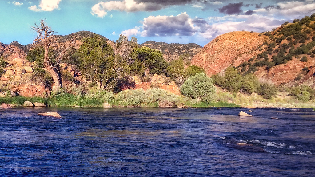
Arkansas River
Colorado. August 2016.
IMG_0405 38.000d25.000m45.449s N 105.000d32.000m45.452s W

IMG_0406 The Arkansas River outside of Texas City, Colorado 38.000d26.000m04.595s N 105.000d32.000m24.785s W
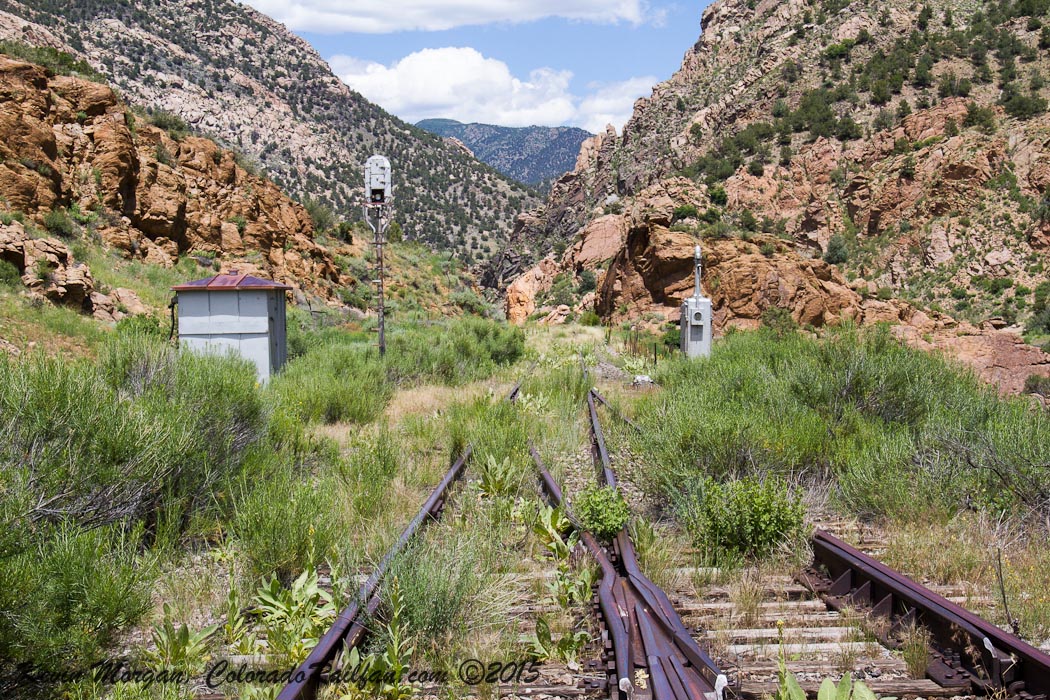
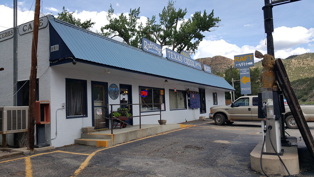
East Switch of Texas Creek
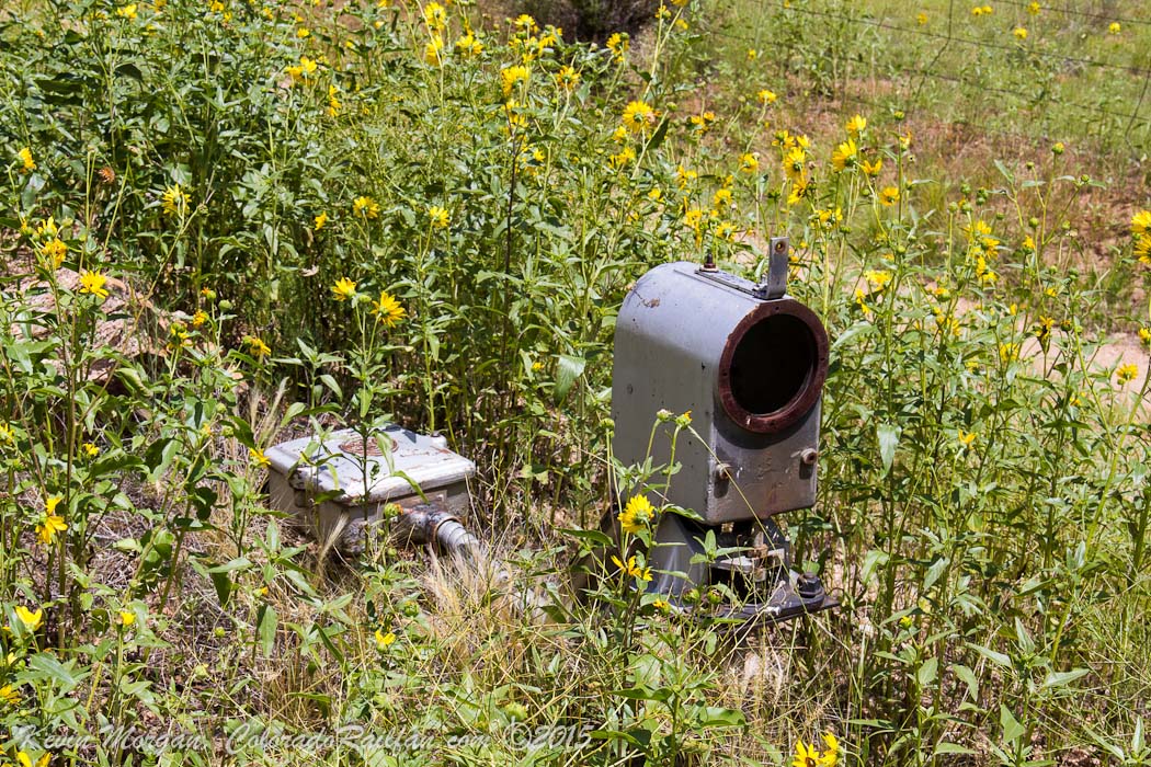
Busted Dwarf at Texas Creek
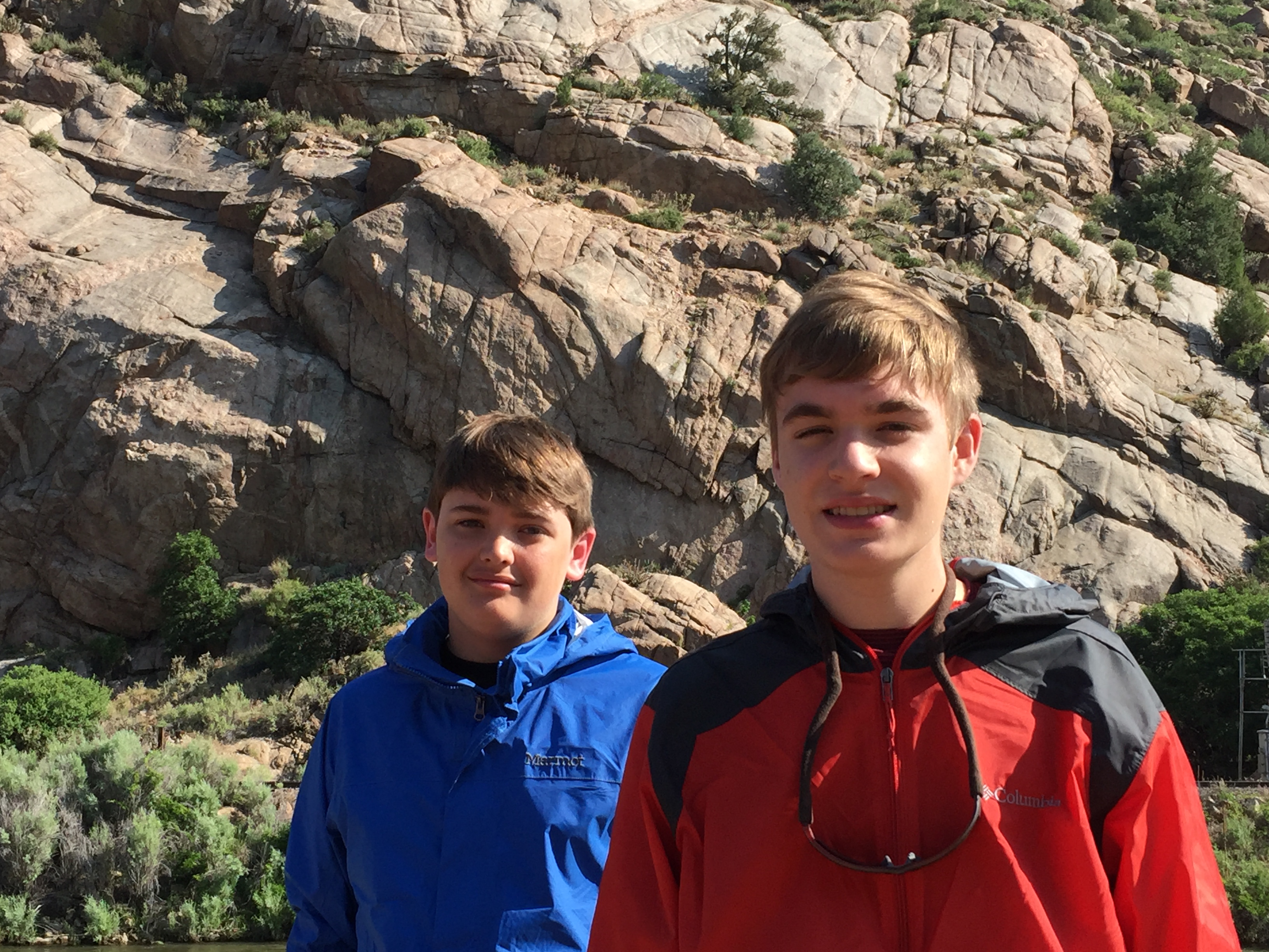
Ryan and Phillip

Caddis Metamorphosis
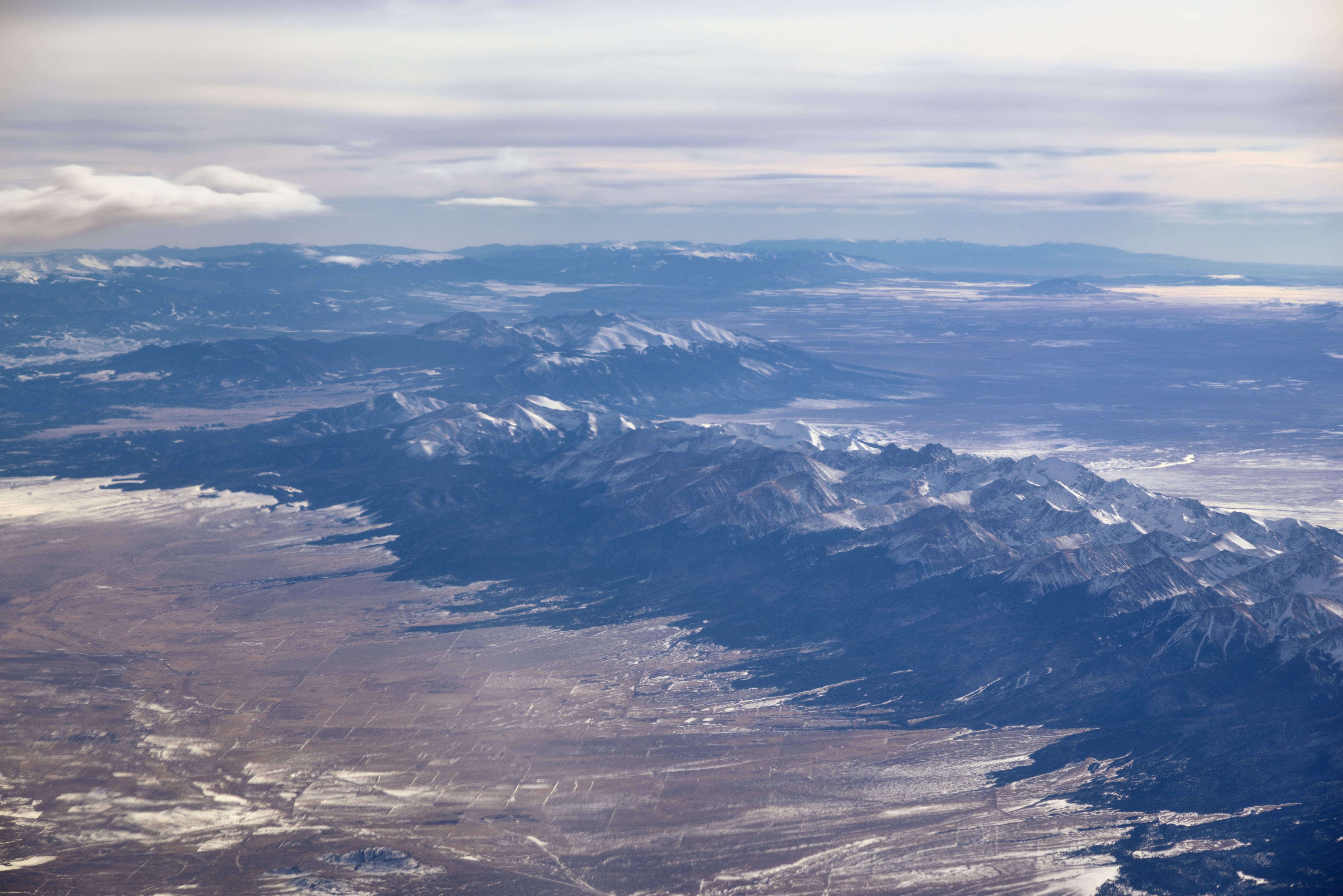
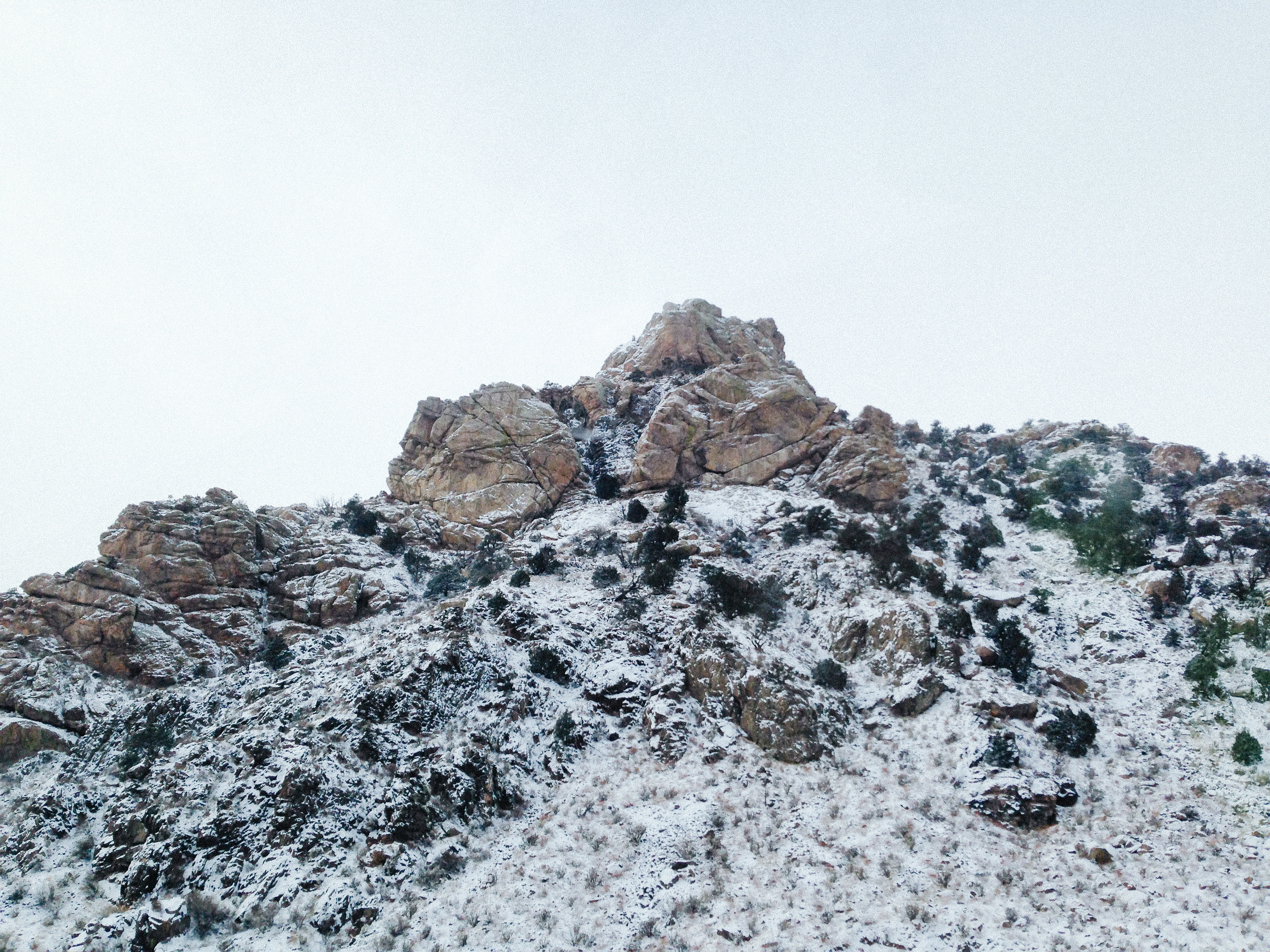
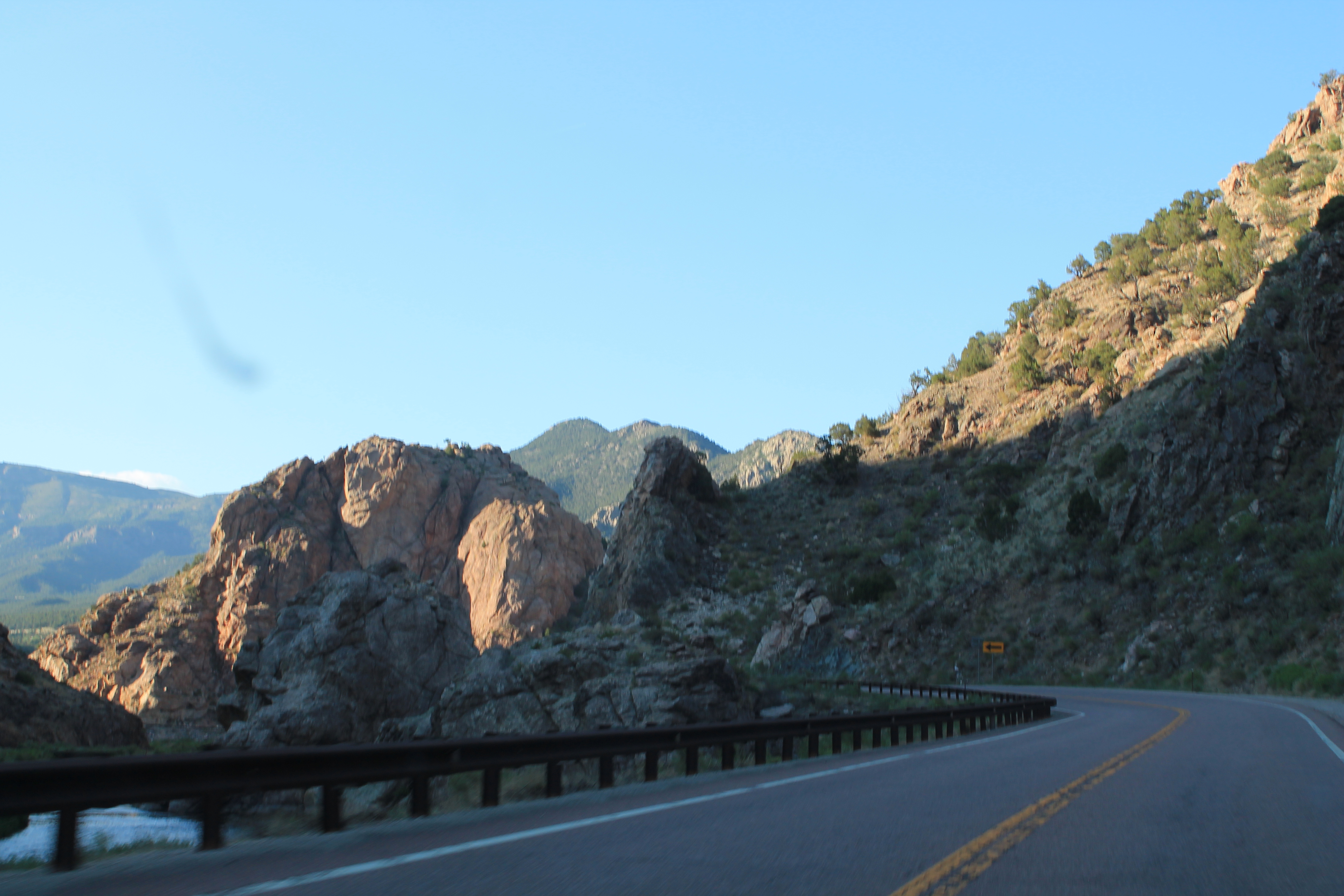
Sangre de Cristo Range and the Rocky Mountains
Antelope Trail, Cotopaxi, CO, USA Karte
Suchen Sie einen anderen Ort
Nahe Plätze
Antelope Trail, Cotopaxi, CO, USA
86 Verde Dr, Cotopaxi, CO, USA
Antelope Trail, Cotopaxi, CO, USA
Green Mountain Rd, Cotopaxi, CO, USA
Broken Arrow Dr, Cotopaxi, CO, USA
North Burno Mountain, Colorado, USA
Walker Way, Colorado, USA
S Tallahassee Trail, Cañon City, CO, USA
Park Mountain, Colorado, USA
Allen Rd, Cañon City, CO, USA
Burno Mountain Rd, Cotopaxi, CO, USA
Valley Vista Trail, Cañon City, CO, USA
Stoney Face Mountain, Colorado, USA
Steven Rd, Cañon City, CO, USA
S Tallahassee Trail, Cañon City, CO, USA
Cliff Pl, Cañon City, CO, USA
2 Ash Ln, Cañon City, CO, USA
Basswood Ln, Cañon City, CO, USA
Autumn Creek Dr, Cañon City, CO, USA
Rosebush Rd, Cañon City, CO, USA
Letzte Suche
- Red Dog Mine, AK, USA Sonnenaufgang Sonnenuntergang Zeiten
- Am Bahnhof, Am bhf, Borken, Germany Sonnenaufgang Sonnenuntergang Zeiten
- 4th St E, Sonoma, CA, USA Sonnenaufgang Sonnenuntergang Zeiten
- Oakland Ave, Williamsport, PA, USA Sonnenaufgang Sonnenuntergang Zeiten
- Via Roma, Pieranica CR, Italien Sonnenaufgang Sonnenuntergang Zeiten
- Glockenturm, Grad, Dubrovnik, Kroatien Sonnenaufgang Sonnenuntergang Zeiten
- Trelew, Chubut Province, Argentina Sonnenaufgang Sonnenuntergang Zeiten
- Hartfords Bluff Cir, Mt Pleasant, SC, USA Sonnenaufgang Sonnenuntergang Zeiten
- Kita-ku, Kumamoto, Präfektur Kumamoto, Japan Sonnenaufgang Sonnenuntergang Zeiten
- Pingtan Island, Pingtan County, Fuzhou, China Sonnenaufgang Sonnenuntergang Zeiten