66 Pleasant Valley Rd, Markleeville, CA, USA Sonnenaufgang Sonnenuntergang Zeiten
Location: USA > Kalifornien > Markleeville >
Zeitzone:
America/Los_Angeles
Ortszeit:
2025-07-06 09:49:39
Länge:
-119.798131
Breite:
38.6898989
Sonnenaufgang Heute:
05:41:56 AM
Sonnenuntergang Heute:
08:26:37 PM
Tageslänge heute:
14h 44m 41s
Sonnenaufgang morgen:
05:42:33 AM
Sonnenuntergang Morgen:
08:26:17 PM
Tageslänge von morgen:
14h 43m 44s
Alle Termine anzeigen
| Datum | Sonnenaufgang | Sonnenuntergang | Tageslänge |
|---|---|---|---|
| 2025-01-01 | 07:17:16 AM | 04:49:34 PM | 9h 32m 18s |
| 2025-01-02 | 07:17:20 AM | 04:50:25 PM | 9h 33m 5s |
| 2025-01-03 | 07:17:22 AM | 04:51:17 PM | 9h 33m 55s |
| 2025-01-04 | 07:17:22 AM | 04:52:10 PM | 9h 34m 48s |
| 2025-01-05 | 07:17:20 AM | 04:53:05 PM | 9h 35m 45s |
| 2025-01-06 | 07:17:15 AM | 04:54:01 PM | 9h 36m 46s |
| 2025-01-07 | 07:17:09 AM | 04:54:58 PM | 9h 37m 49s |
| 2025-01-08 | 07:17:00 AM | 04:55:56 PM | 9h 38m 56s |
| 2025-01-09 | 07:16:49 AM | 04:56:56 PM | 9h 40m 7s |
| 2025-01-10 | 07:16:36 AM | 04:57:56 PM | 9h 41m 20s |
| 2025-01-11 | 07:16:21 AM | 04:58:57 PM | 9h 42m 36s |
| 2025-01-12 | 07:16:04 AM | 04:59:58 PM | 9h 43m 54s |
| 2025-01-13 | 07:15:45 AM | 05:01:01 PM | 9h 45m 16s |
| 2025-01-14 | 07:15:24 AM | 05:02:05 PM | 9h 46m 41s |
| 2025-01-15 | 07:15:00 AM | 05:03:09 PM | 9h 48m 9s |
| 2025-01-16 | 07:14:35 AM | 05:04:13 PM | 9h 49m 38s |
| 2025-01-17 | 07:14:08 AM | 05:05:19 PM | 9h 51m 11s |
| 2025-01-18 | 07:13:38 AM | 05:06:25 PM | 9h 52m 47s |
| 2025-01-19 | 07:13:07 AM | 05:07:31 PM | 9h 54m 24s |
| 2025-01-20 | 07:12:34 AM | 05:08:38 PM | 9h 56m 4s |
| 2025-01-21 | 07:11:58 AM | 05:09:45 PM | 9h 57m 47s |
| 2025-01-22 | 07:11:21 AM | 05:10:53 PM | 9h 59m 32s |
| 2025-01-23 | 07:10:42 AM | 05:12:01 PM | 10h 1m 19s |
| 2025-01-24 | 07:10:01 AM | 05:13:09 PM | 10h 3m 8s |
| 2025-01-25 | 07:09:18 AM | 05:14:17 PM | 10h 4m 59s |
| 2025-01-26 | 07:08:33 AM | 05:15:26 PM | 10h 6m 53s |
| 2025-01-27 | 07:07:47 AM | 05:16:35 PM | 10h 8m 48s |
| 2025-01-28 | 07:06:59 AM | 05:17:44 PM | 10h 10m 45s |
| 2025-01-29 | 07:06:09 AM | 05:18:53 PM | 10h 12m 44s |
| 2025-01-30 | 07:05:17 AM | 05:20:02 PM | 10h 14m 45s |
| 2025-01-31 | 07:04:24 AM | 05:21:11 PM | 10h 16m 47s |
| 2025-02-01 | 07:03:29 AM | 05:22:20 PM | 10h 18m 51s |
| 2025-02-02 | 07:02:33 AM | 05:23:29 PM | 10h 20m 56s |
| 2025-02-03 | 07:01:35 AM | 05:24:38 PM | 10h 23m 3s |
| 2025-02-04 | 07:00:35 AM | 05:25:47 PM | 10h 25m 12s |
| 2025-02-05 | 06:59:34 AM | 05:26:56 PM | 10h 27m 22s |
| 2025-02-06 | 06:58:32 AM | 05:28:05 PM | 10h 29m 33s |
| 2025-02-07 | 06:57:28 AM | 05:29:13 PM | 10h 31m 45s |
| 2025-02-08 | 06:56:23 AM | 05:30:22 PM | 10h 33m 59s |
| 2025-02-09 | 06:55:16 AM | 05:31:30 PM | 10h 36m 14s |
| 2025-02-10 | 06:54:08 AM | 05:32:38 PM | 10h 38m 30s |
| 2025-02-11 | 06:52:59 AM | 05:33:45 PM | 10h 40m 46s |
| 2025-02-12 | 06:51:48 AM | 05:34:53 PM | 10h 43m 5s |
| 2025-02-13 | 06:50:36 AM | 05:36:00 PM | 10h 45m 24s |
| 2025-02-14 | 06:49:23 AM | 05:37:07 PM | 10h 47m 44s |
| 2025-02-15 | 06:48:09 AM | 05:38:14 PM | 10h 50m 5s |
| 2025-02-16 | 06:46:54 AM | 05:39:20 PM | 10h 52m 26s |
| 2025-02-17 | 06:45:38 AM | 05:40:26 PM | 10h 54m 48s |
| 2025-02-18 | 06:44:20 AM | 05:41:32 PM | 10h 57m 12s |
| 2025-02-19 | 06:43:02 AM | 05:42:38 PM | 10h 59m 36s |
| 2025-02-20 | 06:41:42 AM | 05:43:43 PM | 11h 2m 1s |
| 2025-02-21 | 06:40:22 AM | 05:44:48 PM | 11h 4m 26s |
| 2025-02-22 | 06:39:01 AM | 05:45:53 PM | 11h 6m 52s |
| 2025-02-23 | 06:37:39 AM | 05:46:57 PM | 11h 9m 18s |
| 2025-02-24 | 06:36:16 AM | 05:48:01 PM | 11h 11m 45s |
| 2025-02-25 | 06:34:52 AM | 05:49:04 PM | 11h 14m 12s |
| 2025-02-26 | 06:33:27 AM | 05:50:08 PM | 11h 16m 41s |
| 2025-02-27 | 06:32:02 AM | 05:51:11 PM | 11h 19m 9s |
| 2025-02-28 | 06:30:36 AM | 05:52:14 PM | 11h 21m 38s |
| 2025-03-01 | 06:29:09 AM | 05:53:16 PM | 11h 24m 7s |
| 2025-03-02 | 06:27:42 AM | 05:54:18 PM | 11h 26m 36s |
| 2025-03-03 | 06:26:14 AM | 05:55:20 PM | 11h 29m 6s |
| 2025-03-04 | 06:24:45 AM | 05:56:22 PM | 11h 31m 37s |
| 2025-03-05 | 06:23:16 AM | 05:57:23 PM | 11h 34m 7s |
| 2025-03-06 | 06:21:46 AM | 05:58:24 PM | 11h 36m 38s |
| 2025-03-07 | 06:20:16 AM | 05:59:25 PM | 11h 39m 9s |
| 2025-03-08 | 06:18:45 AM | 06:00:25 PM | 11h 41m 40s |
| 2025-03-09 | 07:17:18 AM | 07:01:23 PM | 11h 44m 5s |
| 2025-03-10 | 07:15:46 AM | 07:02:23 PM | 11h 46m 37s |
| 2025-03-11 | 07:14:15 AM | 07:03:23 PM | 11h 49m 8s |
| 2025-03-12 | 07:12:42 AM | 07:04:22 PM | 11h 51m 40s |
| 2025-03-13 | 07:11:10 AM | 07:05:21 PM | 11h 54m 11s |
| 2025-03-14 | 07:09:37 AM | 07:06:21 PM | 11h 56m 44s |
| 2025-03-15 | 07:08:04 AM | 07:07:19 PM | 11h 59m 15s |
| 2025-03-16 | 07:06:31 AM | 07:08:18 PM | 12h 1m 47s |
| 2025-03-17 | 07:04:58 AM | 07:09:17 PM | 12h 4m 19s |
| 2025-03-18 | 07:03:24 AM | 07:10:15 PM | 12h 6m 51s |
| 2025-03-19 | 07:01:50 AM | 07:11:13 PM | 12h 9m 23s |
| 2025-03-20 | 07:00:17 AM | 07:12:12 PM | 12h 11m 55s |
| 2025-03-21 | 06:58:43 AM | 07:13:09 PM | 12h 14m 26s |
| 2025-03-22 | 06:57:09 AM | 07:14:07 PM | 12h 16m 58s |
| 2025-03-23 | 06:55:35 AM | 07:15:05 PM | 12h 19m 30s |
| 2025-03-24 | 06:54:01 AM | 07:16:03 PM | 12h 22m 2s |
| 2025-03-25 | 06:52:28 AM | 07:17:00 PM | 12h 24m 32s |
| 2025-03-26 | 06:50:54 AM | 07:17:58 PM | 12h 27m 4s |
| 2025-03-27 | 06:49:20 AM | 07:18:55 PM | 12h 29m 35s |
| 2025-03-28 | 06:47:47 AM | 07:19:52 PM | 12h 32m 5s |
| 2025-03-29 | 06:46:14 AM | 07:20:50 PM | 12h 34m 36s |
| 2025-03-30 | 06:44:41 AM | 07:21:47 PM | 12h 37m 6s |
| 2025-03-31 | 06:43:08 AM | 07:22:44 PM | 12h 39m 36s |
| 2025-04-01 | 06:41:35 AM | 07:23:41 PM | 12h 42m 6s |
| 2025-04-02 | 06:40:03 AM | 07:24:39 PM | 12h 44m 36s |
| 2025-04-03 | 06:38:31 AM | 07:25:36 PM | 12h 47m 5s |
| 2025-04-04 | 06:37:00 AM | 07:26:33 PM | 12h 49m 33s |
| 2025-04-05 | 06:35:28 AM | 07:27:30 PM | 12h 52m 2s |
| 2025-04-06 | 06:33:58 AM | 07:28:27 PM | 12h 54m 29s |
| 2025-04-07 | 06:32:27 AM | 07:29:24 PM | 12h 56m 57s |
| 2025-04-08 | 06:30:58 AM | 07:30:22 PM | 12h 59m 24s |
| 2025-04-09 | 06:29:28 AM | 07:31:19 PM | 13h 1m 51s |
| 2025-04-10 | 06:28:00 AM | 07:32:16 PM | 13h 4m 16s |
| 2025-04-11 | 06:26:31 AM | 07:33:13 PM | 13h 6m 42s |
| 2025-04-12 | 06:25:04 AM | 07:34:11 PM | 13h 9m 7s |
| 2025-04-13 | 06:23:37 AM | 07:35:08 PM | 13h 11m 31s |
| 2025-04-14 | 06:22:10 AM | 07:36:05 PM | 13h 13m 55s |
| 2025-04-15 | 06:20:45 AM | 07:37:03 PM | 13h 16m 18s |
| 2025-04-16 | 06:19:20 AM | 07:38:00 PM | 13h 18m 40s |
| 2025-04-17 | 06:17:56 AM | 07:38:58 PM | 13h 21m 2s |
| 2025-04-18 | 06:16:32 AM | 07:39:55 PM | 13h 23m 23s |
| 2025-04-19 | 06:15:10 AM | 07:40:53 PM | 13h 25m 43s |
| 2025-04-20 | 06:13:48 AM | 07:41:50 PM | 13h 28m 2s |
| 2025-04-21 | 06:12:27 AM | 07:42:48 PM | 13h 30m 21s |
| 2025-04-22 | 06:11:07 AM | 07:43:45 PM | 13h 32m 38s |
| 2025-04-23 | 06:09:48 AM | 07:44:43 PM | 13h 34m 55s |
| 2025-04-24 | 06:08:30 AM | 07:45:41 PM | 13h 37m 11s |
| 2025-04-25 | 06:07:13 AM | 07:46:38 PM | 13h 39m 25s |
| 2025-04-26 | 06:05:57 AM | 07:47:36 PM | 13h 41m 39s |
| 2025-04-27 | 06:04:42 AM | 07:48:33 PM | 13h 43m 51s |
| 2025-04-28 | 06:03:29 AM | 07:49:31 PM | 13h 46m 2s |
| 2025-04-29 | 06:02:16 AM | 07:50:28 PM | 13h 48m 12s |
| 2025-04-30 | 06:01:04 AM | 07:51:25 PM | 13h 50m 21s |
| 2025-05-01 | 05:59:54 AM | 07:52:22 PM | 13h 52m 28s |
| 2025-05-02 | 05:58:45 AM | 07:53:19 PM | 13h 54m 34s |
| 2025-05-03 | 05:57:37 AM | 07:54:16 PM | 13h 56m 39s |
| 2025-05-04 | 05:56:30 AM | 07:55:13 PM | 13h 58m 43s |
| 2025-05-05 | 05:55:25 AM | 07:56:10 PM | 14h 0m 45s |
| 2025-05-06 | 05:54:20 AM | 07:57:06 PM | 14h 2m 46s |
| 2025-05-07 | 05:53:18 AM | 07:58:02 PM | 14h 4m 44s |
| 2025-05-08 | 05:52:16 AM | 07:58:58 PM | 14h 6m 42s |
| 2025-05-09 | 05:51:16 AM | 07:59:54 PM | 14h 8m 38s |
| 2025-05-10 | 05:50:18 AM | 08:00:50 PM | 14h 10m 32s |
| 2025-05-11 | 05:49:21 AM | 08:01:45 PM | 14h 12m 24s |
| 2025-05-12 | 05:48:25 AM | 08:02:39 PM | 14h 14m 14s |
| 2025-05-13 | 05:47:31 AM | 08:03:34 PM | 14h 16m 3s |
| 2025-05-14 | 05:46:39 AM | 08:04:28 PM | 14h 17m 49s |
| 2025-05-15 | 05:45:48 AM | 08:05:21 PM | 14h 19m 33s |
| 2025-05-16 | 05:44:59 AM | 08:06:14 PM | 14h 21m 15s |
| 2025-05-17 | 05:44:11 AM | 08:07:07 PM | 14h 22m 56s |
| 2025-05-18 | 05:43:25 AM | 08:07:59 PM | 14h 24m 34s |
| 2025-05-19 | 05:42:40 AM | 08:08:50 PM | 14h 26m 10s |
| 2025-05-20 | 05:41:58 AM | 08:09:41 PM | 14h 27m 43s |
| 2025-05-21 | 05:41:17 AM | 08:10:31 PM | 14h 29m 14s |
| 2025-05-22 | 05:40:37 AM | 08:11:21 PM | 14h 30m 44s |
| 2025-05-23 | 05:40:00 AM | 08:12:10 PM | 14h 32m 10s |
| 2025-05-24 | 05:39:24 AM | 08:12:58 PM | 14h 33m 34s |
| 2025-05-25 | 05:38:50 AM | 08:13:45 PM | 14h 34m 55s |
| 2025-05-26 | 05:38:18 AM | 08:14:31 PM | 14h 36m 13s |
| 2025-05-27 | 05:37:47 AM | 08:15:17 PM | 14h 37m 30s |
| 2025-05-28 | 05:37:19 AM | 08:16:01 PM | 14h 38m 42s |
| 2025-05-29 | 05:36:52 AM | 08:16:45 PM | 14h 39m 53s |
| 2025-05-30 | 05:36:27 AM | 08:17:28 PM | 14h 41m 1s |
| 2025-05-31 | 05:36:04 AM | 08:18:09 PM | 14h 42m 5s |
| 2025-06-01 | 05:35:42 AM | 08:18:50 PM | 14h 43m 8s |
| 2025-06-02 | 05:35:23 AM | 08:19:29 PM | 14h 44m 6s |
| 2025-06-03 | 05:35:05 AM | 08:20:07 PM | 14h 45m 2s |
| 2025-06-04 | 05:34:49 AM | 08:20:44 PM | 14h 45m 55s |
| 2025-06-05 | 05:34:36 AM | 08:21:20 PM | 14h 46m 44s |
| 2025-06-06 | 05:34:24 AM | 08:21:55 PM | 14h 47m 31s |
| 2025-06-07 | 05:34:13 AM | 08:22:28 PM | 14h 48m 15s |
| 2025-06-08 | 05:34:05 AM | 08:23:00 PM | 14h 48m 55s |
| 2025-06-09 | 05:33:59 AM | 08:23:30 PM | 14h 49m 31s |
| 2025-06-10 | 05:33:54 AM | 08:23:59 PM | 14h 50m 5s |
| 2025-06-11 | 05:33:51 AM | 08:24:27 PM | 14h 50m 36s |
| 2025-06-12 | 05:33:50 AM | 08:24:53 PM | 14h 51m 3s |
| 2025-06-13 | 05:33:51 AM | 08:25:17 PM | 14h 51m 26s |
| 2025-06-14 | 05:33:54 AM | 08:25:40 PM | 14h 51m 46s |
| 2025-06-15 | 05:33:58 AM | 08:26:02 PM | 14h 52m 4s |
| 2025-06-16 | 05:34:05 AM | 08:26:22 PM | 14h 52m 17s |
| 2025-06-17 | 05:34:13 AM | 08:26:40 PM | 14h 52m 27s |
| 2025-06-18 | 05:34:22 AM | 08:26:56 PM | 14h 52m 34s |
| 2025-06-19 | 05:34:34 AM | 08:27:11 PM | 14h 52m 37s |
| 2025-06-20 | 05:34:47 AM | 08:27:24 PM | 14h 52m 37s |
| 2025-06-21 | 05:35:02 AM | 08:27:35 PM | 14h 52m 33s |
| 2025-06-22 | 05:35:18 AM | 08:27:45 PM | 14h 52m 27s |
| 2025-06-23 | 05:35:36 AM | 08:27:52 PM | 14h 52m 16s |
| 2025-06-24 | 05:35:56 AM | 08:27:58 PM | 14h 52m 2s |
| 2025-06-25 | 05:36:17 AM | 08:28:02 PM | 14h 51m 45s |
| 2025-06-26 | 05:36:39 AM | 08:28:05 PM | 14h 51m 26s |
| 2025-06-27 | 05:37:04 AM | 08:28:05 PM | 14h 51m 1s |
| 2025-06-28 | 05:37:29 AM | 08:28:03 PM | 14h 50m 34s |
| 2025-06-29 | 05:37:56 AM | 08:28:00 PM | 14h 50m 4s |
| 2025-06-30 | 05:38:25 AM | 08:27:55 PM | 14h 49m 30s |
| 2025-07-01 | 05:38:54 AM | 08:27:48 PM | 14h 48m 54s |
| 2025-07-02 | 05:39:25 AM | 08:27:39 PM | 14h 48m 14s |
| 2025-07-03 | 05:39:58 AM | 08:27:28 PM | 14h 47m 30s |
| 2025-07-04 | 05:40:31 AM | 08:27:15 PM | 14h 46m 44s |
| 2025-07-05 | 05:41:06 AM | 08:27:00 PM | 14h 45m 54s |
| 2025-07-06 | 05:41:42 AM | 08:26:43 PM | 14h 45m 1s |
| 2025-07-07 | 05:42:19 AM | 08:26:25 PM | 14h 44m 6s |
| 2025-07-08 | 05:42:57 AM | 08:26:04 PM | 14h 43m 7s |
| 2025-07-09 | 05:43:36 AM | 08:25:42 PM | 14h 42m 6s |
| 2025-07-10 | 05:44:17 AM | 08:25:18 PM | 14h 41m 1s |
| 2025-07-11 | 05:44:58 AM | 08:24:52 PM | 14h 39m 54s |
| 2025-07-12 | 05:45:40 AM | 08:24:24 PM | 14h 38m 44s |
| 2025-07-13 | 05:46:23 AM | 08:23:54 PM | 14h 37m 31s |
| 2025-07-14 | 05:47:06 AM | 08:23:22 PM | 14h 36m 16s |
| 2025-07-15 | 05:47:51 AM | 08:22:49 PM | 14h 34m 58s |
| 2025-07-16 | 05:48:36 AM | 08:22:13 PM | 14h 33m 37s |
| 2025-07-17 | 05:49:22 AM | 08:21:36 PM | 14h 32m 14s |
| 2025-07-18 | 05:50:09 AM | 08:20:57 PM | 14h 30m 48s |
| 2025-07-19 | 05:50:57 AM | 08:20:17 PM | 14h 29m 20s |
| 2025-07-20 | 05:51:45 AM | 08:19:34 PM | 14h 27m 49s |
| 2025-07-21 | 05:52:33 AM | 08:18:50 PM | 14h 26m 17s |
| 2025-07-22 | 05:53:22 AM | 08:18:04 PM | 14h 24m 42s |
| 2025-07-23 | 05:54:12 AM | 08:17:17 PM | 14h 23m 5s |
| 2025-07-24 | 05:55:02 AM | 08:16:28 PM | 14h 21m 26s |
| 2025-07-25 | 05:55:52 AM | 08:15:37 PM | 14h 19m 45s |
| 2025-07-26 | 05:56:43 AM | 08:14:45 PM | 14h 18m 2s |
| 2025-07-27 | 05:57:35 AM | 08:13:51 PM | 14h 16m 16s |
| 2025-07-28 | 05:58:26 AM | 08:12:55 PM | 14h 14m 29s |
| 2025-07-29 | 05:59:18 AM | 08:11:58 PM | 14h 12m 40s |
| 2025-07-30 | 06:00:10 AM | 08:11:00 PM | 14h 10m 50s |
| 2025-07-31 | 06:01:03 AM | 08:10:00 PM | 14h 8m 57s |
| 2025-08-01 | 06:01:56 AM | 08:08:58 PM | 14h 7m 2s |
| 2025-08-02 | 06:02:49 AM | 08:07:55 PM | 14h 5m 6s |
| 2025-08-03 | 06:03:42 AM | 08:06:51 PM | 14h 3m 9s |
| 2025-08-04 | 06:04:35 AM | 08:05:45 PM | 14h 1m 10s |
| 2025-08-05 | 06:05:29 AM | 08:04:38 PM | 13h 59m 9s |
| 2025-08-06 | 06:06:22 AM | 08:03:30 PM | 13h 57m 8s |
| 2025-08-07 | 06:07:16 AM | 08:02:20 PM | 13h 55m 4s |
| 2025-08-08 | 06:08:09 AM | 08:01:10 PM | 13h 53m 1s |
| 2025-08-09 | 06:09:03 AM | 07:59:58 PM | 13h 50m 55s |
| 2025-08-10 | 06:09:57 AM | 07:58:44 PM | 13h 48m 47s |
| 2025-08-11 | 06:10:51 AM | 07:57:30 PM | 13h 46m 39s |
| 2025-08-12 | 06:11:45 AM | 07:56:15 PM | 13h 44m 30s |
| 2025-08-13 | 06:12:39 AM | 07:54:58 PM | 13h 42m 19s |
| 2025-08-14 | 06:13:33 AM | 07:53:40 PM | 13h 40m 7s |
| 2025-08-15 | 06:14:27 AM | 07:52:22 PM | 13h 37m 55s |
| 2025-08-16 | 06:15:20 AM | 07:51:02 PM | 13h 35m 42s |
| 2025-08-17 | 06:16:14 AM | 07:49:41 PM | 13h 33m 27s |
| 2025-08-18 | 06:17:08 AM | 07:48:20 PM | 13h 31m 12s |
| 2025-08-19 | 06:18:02 AM | 07:46:57 PM | 13h 28m 55s |
| 2025-08-20 | 06:18:55 AM | 07:45:34 PM | 13h 26m 39s |
| 2025-08-21 | 06:19:49 AM | 07:44:10 PM | 13h 24m 21s |
| 2025-08-22 | 06:20:43 AM | 07:42:44 PM | 13h 22m 1s |
| 2025-08-23 | 06:21:36 AM | 07:41:19 PM | 13h 19m 43s |
| 2025-08-24 | 06:22:30 AM | 07:39:52 PM | 13h 17m 22s |
| 2025-08-25 | 06:23:23 AM | 07:38:25 PM | 13h 15m 2s |
| 2025-08-26 | 06:24:16 AM | 07:36:57 PM | 13h 12m 41s |
| 2025-08-27 | 06:25:10 AM | 07:35:28 PM | 13h 10m 18s |
| 2025-08-28 | 06:26:03 AM | 07:33:58 PM | 13h 7m 55s |
| 2025-08-29 | 06:26:56 AM | 07:32:28 PM | 13h 5m 32s |
| 2025-08-30 | 06:27:49 AM | 07:30:58 PM | 13h 3m 9s |
| 2025-08-31 | 06:28:42 AM | 07:29:27 PM | 13h 0m 45s |
| 2025-09-01 | 06:29:35 AM | 07:27:55 PM | 12h 58m 20s |
| 2025-09-02 | 06:30:28 AM | 07:26:23 PM | 12h 55m 55s |
| 2025-09-03 | 06:31:21 AM | 07:24:50 PM | 12h 53m 29s |
| 2025-09-04 | 06:32:13 AM | 07:23:17 PM | 12h 51m 4s |
| 2025-09-05 | 06:33:06 AM | 07:21:44 PM | 12h 48m 38s |
| 2025-09-06 | 06:33:59 AM | 07:20:10 PM | 12h 46m 11s |
| 2025-09-07 | 06:34:52 AM | 07:18:36 PM | 12h 43m 44s |
| 2025-09-08 | 06:35:45 AM | 07:17:01 PM | 12h 41m 16s |
| 2025-09-09 | 06:36:37 AM | 07:15:26 PM | 12h 38m 49s |
| 2025-09-10 | 06:37:30 AM | 07:13:51 PM | 12h 36m 21s |
| 2025-09-11 | 06:38:23 AM | 07:12:16 PM | 12h 33m 53s |
| 2025-09-12 | 06:39:16 AM | 07:10:41 PM | 12h 31m 25s |
| 2025-09-13 | 06:40:09 AM | 07:09:05 PM | 12h 28m 56s |
| 2025-09-14 | 06:41:02 AM | 07:07:29 PM | 12h 26m 27s |
| 2025-09-15 | 06:41:55 AM | 07:05:53 PM | 12h 23m 58s |
| 2025-09-16 | 06:42:48 AM | 07:04:17 PM | 12h 21m 29s |
| 2025-09-17 | 06:43:41 AM | 07:02:41 PM | 12h 19m 0s |
| 2025-09-18 | 06:44:34 AM | 07:01:05 PM | 12h 16m 31s |
| 2025-09-19 | 06:45:27 AM | 06:59:29 PM | 12h 14m 2s |
| 2025-09-20 | 06:46:21 AM | 06:57:53 PM | 12h 11m 32s |
| 2025-09-21 | 06:47:15 AM | 06:56:17 PM | 12h 9m 2s |
| 2025-09-22 | 06:48:08 AM | 06:54:41 PM | 12h 6m 33s |
| 2025-09-23 | 06:49:02 AM | 06:53:06 PM | 12h 4m 4s |
| 2025-09-24 | 06:49:56 AM | 06:51:30 PM | 12h 1m 34s |
| 2025-09-25 | 06:50:50 AM | 06:49:55 PM | 11h 59m 5s |
| 2025-09-26 | 06:51:45 AM | 06:48:20 PM | 11h 56m 35s |
| 2025-09-27 | 06:52:39 AM | 06:46:45 PM | 11h 54m 6s |
| 2025-09-28 | 06:53:34 AM | 06:45:10 PM | 11h 51m 36s |
| 2025-09-29 | 06:54:29 AM | 06:43:36 PM | 11h 49m 7s |
| 2025-09-30 | 06:55:25 AM | 06:42:02 PM | 11h 46m 37s |
| 2025-10-01 | 06:56:20 AM | 06:40:28 PM | 11h 44m 8s |
| 2025-10-02 | 06:57:16 AM | 06:38:55 PM | 11h 41m 39s |
| 2025-10-03 | 06:58:12 AM | 06:37:22 PM | 11h 39m 10s |
| 2025-10-04 | 06:59:08 AM | 06:35:49 PM | 11h 36m 41s |
| 2025-10-05 | 07:00:05 AM | 06:34:18 PM | 11h 34m 13s |
| 2025-10-06 | 07:01:02 AM | 06:32:46 PM | 11h 31m 44s |
| 2025-10-07 | 07:01:59 AM | 06:31:15 PM | 11h 29m 16s |
| 2025-10-08 | 07:02:56 AM | 06:29:45 PM | 11h 26m 49s |
| 2025-10-09 | 07:03:54 AM | 06:28:15 PM | 11h 24m 21s |
| 2025-10-10 | 07:04:52 AM | 06:26:46 PM | 11h 21m 54s |
| 2025-10-11 | 07:05:50 AM | 06:25:18 PM | 11h 19m 28s |
| 2025-10-12 | 07:06:49 AM | 06:23:50 PM | 11h 17m 1s |
| 2025-10-13 | 07:07:48 AM | 06:22:24 PM | 11h 14m 36s |
| 2025-10-14 | 07:08:47 AM | 06:20:57 PM | 11h 12m 10s |
| 2025-10-15 | 07:09:47 AM | 06:19:32 PM | 11h 9m 45s |
| 2025-10-16 | 07:10:47 AM | 06:18:08 PM | 11h 7m 21s |
| 2025-10-17 | 07:11:48 AM | 06:16:44 PM | 11h 4m 56s |
| 2025-10-18 | 07:12:48 AM | 06:15:21 PM | 11h 2m 33s |
| 2025-10-19 | 07:13:49 AM | 06:14:00 PM | 11h 0m 11s |
| 2025-10-20 | 07:14:51 AM | 06:12:39 PM | 10h 57m 48s |
| 2025-10-21 | 07:15:52 AM | 06:11:19 PM | 10h 55m 27s |
| 2025-10-22 | 07:16:55 AM | 06:10:00 PM | 10h 53m 5s |
| 2025-10-23 | 07:17:57 AM | 06:08:43 PM | 10h 50m 46s |
| 2025-10-24 | 07:19:00 AM | 06:07:26 PM | 10h 48m 26s |
| 2025-10-25 | 07:20:03 AM | 06:06:11 PM | 10h 46m 8s |
| 2025-10-26 | 07:21:06 AM | 06:04:56 PM | 10h 43m 50s |
| 2025-10-27 | 07:22:10 AM | 06:03:43 PM | 10h 41m 33s |
| 2025-10-28 | 07:23:13 AM | 06:02:32 PM | 10h 39m 19s |
| 2025-10-29 | 07:24:18 AM | 06:01:21 PM | 10h 37m 3s |
| 2025-10-30 | 07:25:22 AM | 06:00:12 PM | 10h 34m 50s |
| 2025-10-31 | 07:26:27 AM | 05:59:04 PM | 10h 32m 37s |
| 2025-11-01 | 07:27:32 AM | 05:57:58 PM | 10h 30m 26s |
| 2025-11-02 | 06:28:39 AM | 04:56:50 PM | 10h 28m 11s |
| 2025-11-03 | 06:29:45 AM | 04:55:46 PM | 10h 26m 1s |
| 2025-11-04 | 06:30:50 AM | 04:54:44 PM | 10h 23m 54s |
| 2025-11-05 | 06:31:56 AM | 04:53:44 PM | 10h 21m 48s |
| 2025-11-06 | 06:33:02 AM | 04:52:44 PM | 10h 19m 42s |
| 2025-11-07 | 06:34:08 AM | 04:51:47 PM | 10h 17m 39s |
| 2025-11-08 | 06:35:14 AM | 04:50:51 PM | 10h 15m 37s |
| 2025-11-09 | 06:36:20 AM | 04:49:57 PM | 10h 13m 37s |
| 2025-11-10 | 06:37:26 AM | 04:49:05 PM | 10h 11m 39s |
| 2025-11-11 | 06:38:32 AM | 04:48:14 PM | 10h 9m 42s |
| 2025-11-12 | 06:39:38 AM | 04:47:25 PM | 10h 7m 47s |
| 2025-11-13 | 06:40:43 AM | 04:46:37 PM | 10h 5m 54s |
| 2025-11-14 | 06:41:49 AM | 04:45:52 PM | 10h 4m 3s |
| 2025-11-15 | 06:42:55 AM | 04:45:08 PM | 10h 2m 13s |
| 2025-11-16 | 06:44:00 AM | 04:44:27 PM | 10h 0m 27s |
| 2025-11-17 | 06:45:05 AM | 04:43:47 PM | 9h 58m 42s |
| 2025-11-18 | 06:46:10 AM | 04:43:09 PM | 9h 56m 59s |
| 2025-11-19 | 06:47:15 AM | 04:42:33 PM | 9h 55m 18s |
| 2025-11-20 | 06:48:19 AM | 04:41:59 PM | 9h 53m 40s |
| 2025-11-21 | 06:49:23 AM | 04:41:27 PM | 9h 52m 4s |
| 2025-11-22 | 06:50:27 AM | 04:40:56 PM | 9h 50m 29s |
| 2025-11-23 | 06:51:29 AM | 04:40:28 PM | 9h 48m 59s |
| 2025-11-24 | 06:52:32 AM | 04:40:02 PM | 9h 47m 30s |
| 2025-11-25 | 06:53:34 AM | 04:39:39 PM | 9h 46m 5s |
| 2025-11-26 | 06:54:35 AM | 04:39:17 PM | 9h 44m 42s |
| 2025-11-27 | 06:55:35 AM | 04:38:57 PM | 9h 43m 22s |
| 2025-11-28 | 06:56:35 AM | 04:38:40 PM | 9h 42m 5s |
| 2025-11-29 | 06:57:34 AM | 04:38:24 PM | 9h 40m 50s |
| 2025-11-30 | 06:58:32 AM | 04:38:11 PM | 9h 39m 39s |
| 2025-12-01 | 06:59:29 AM | 04:38:00 PM | 9h 38m 31s |
| 2025-12-02 | 07:00:26 AM | 04:37:51 PM | 9h 37m 25s |
| 2025-12-03 | 07:01:21 AM | 04:37:44 PM | 9h 36m 23s |
| 2025-12-04 | 07:02:15 AM | 04:37:39 PM | 9h 35m 24s |
| 2025-12-05 | 07:03:08 AM | 04:37:37 PM | 9h 34m 29s |
| 2025-12-06 | 07:04:00 AM | 04:37:37 PM | 9h 33m 37s |
| 2025-12-07 | 07:04:51 AM | 04:37:39 PM | 9h 32m 48s |
| 2025-12-08 | 07:05:41 AM | 04:37:43 PM | 9h 32m 2s |
| 2025-12-09 | 07:06:29 AM | 04:37:49 PM | 9h 31m 20s |
| 2025-12-10 | 07:07:16 AM | 04:37:57 PM | 9h 30m 41s |
| 2025-12-11 | 07:08:01 AM | 04:38:08 PM | 9h 30m 7s |
| 2025-12-12 | 07:08:45 AM | 04:38:20 PM | 9h 29m 35s |
| 2025-12-13 | 07:09:27 AM | 04:38:35 PM | 9h 29m 8s |
| 2025-12-14 | 07:10:08 AM | 04:38:52 PM | 9h 28m 44s |
| 2025-12-15 | 07:10:48 AM | 04:39:11 PM | 9h 28m 23s |
| 2025-12-16 | 07:11:25 AM | 04:39:32 PM | 9h 28m 7s |
| 2025-12-17 | 07:12:01 AM | 04:39:55 PM | 9h 27m 54s |
| 2025-12-18 | 07:12:35 AM | 04:40:20 PM | 9h 27m 45s |
| 2025-12-19 | 07:13:08 AM | 04:40:47 PM | 9h 27m 39s |
| 2025-12-20 | 07:13:39 AM | 04:41:16 PM | 9h 27m 37s |
| 2025-12-21 | 07:14:07 AM | 04:41:47 PM | 9h 27m 40s |
| 2025-12-22 | 07:14:34 AM | 04:42:20 PM | 9h 27m 46s |
| 2025-12-23 | 07:14:59 AM | 04:42:54 PM | 9h 27m 55s |
| 2025-12-24 | 07:15:22 AM | 04:43:31 PM | 9h 28m 9s |
| 2025-12-25 | 07:15:44 AM | 04:44:09 PM | 9h 28m 25s |
| 2025-12-26 | 07:16:03 AM | 04:44:49 PM | 9h 28m 46s |
| 2025-12-27 | 07:16:20 AM | 04:45:30 PM | 9h 29m 10s |
| 2025-12-28 | 07:16:35 AM | 04:46:13 PM | 9h 29m 38s |
| 2025-12-29 | 07:16:48 AM | 04:46:58 PM | 9h 30m 10s |
| 2025-12-30 | 07:16:59 AM | 04:47:44 PM | 9h 30m 45s |
| 2025-12-31 | 07:17:08 AM | 04:48:32 PM | 9h 31m 24s |
Fotos
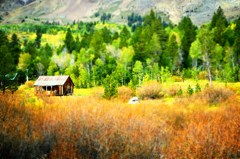
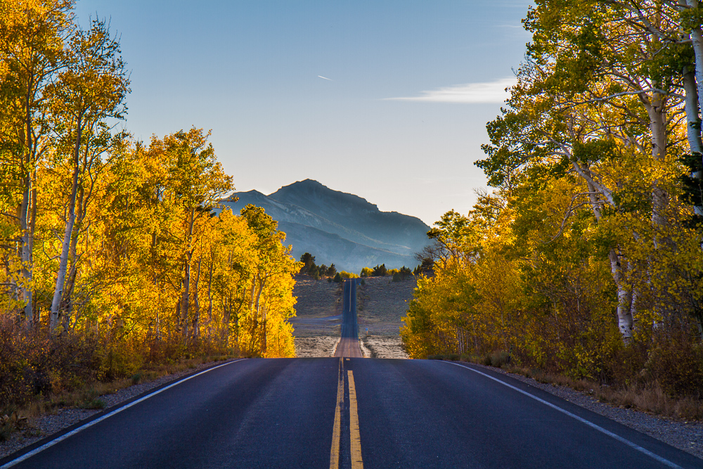
Autumn Painting
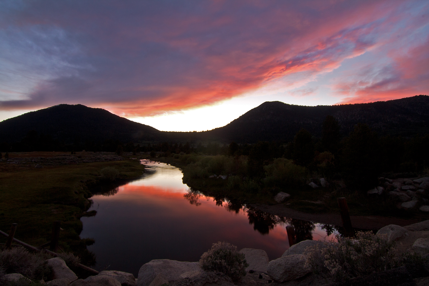
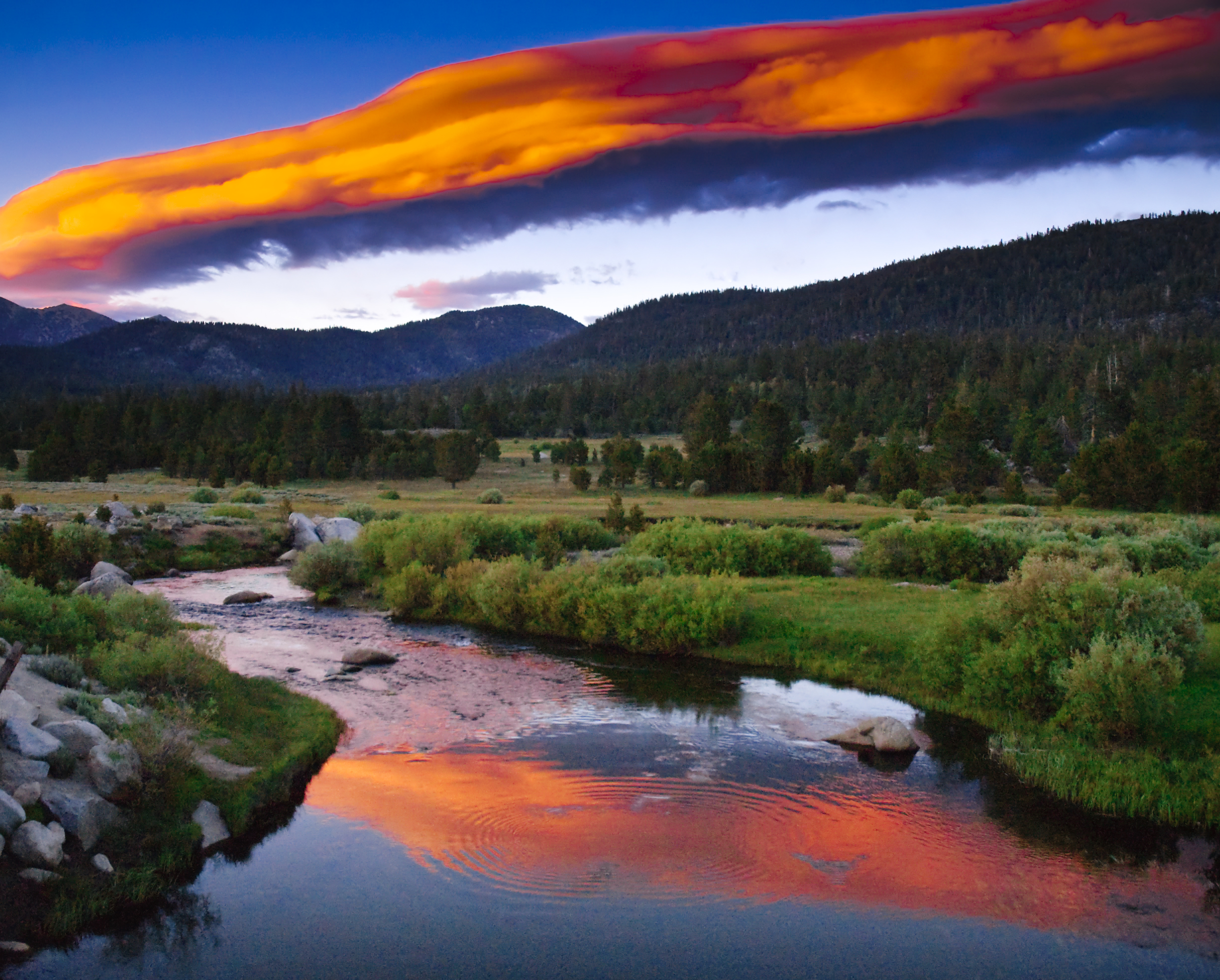
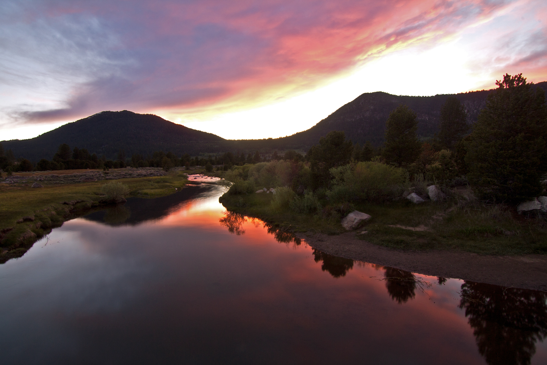
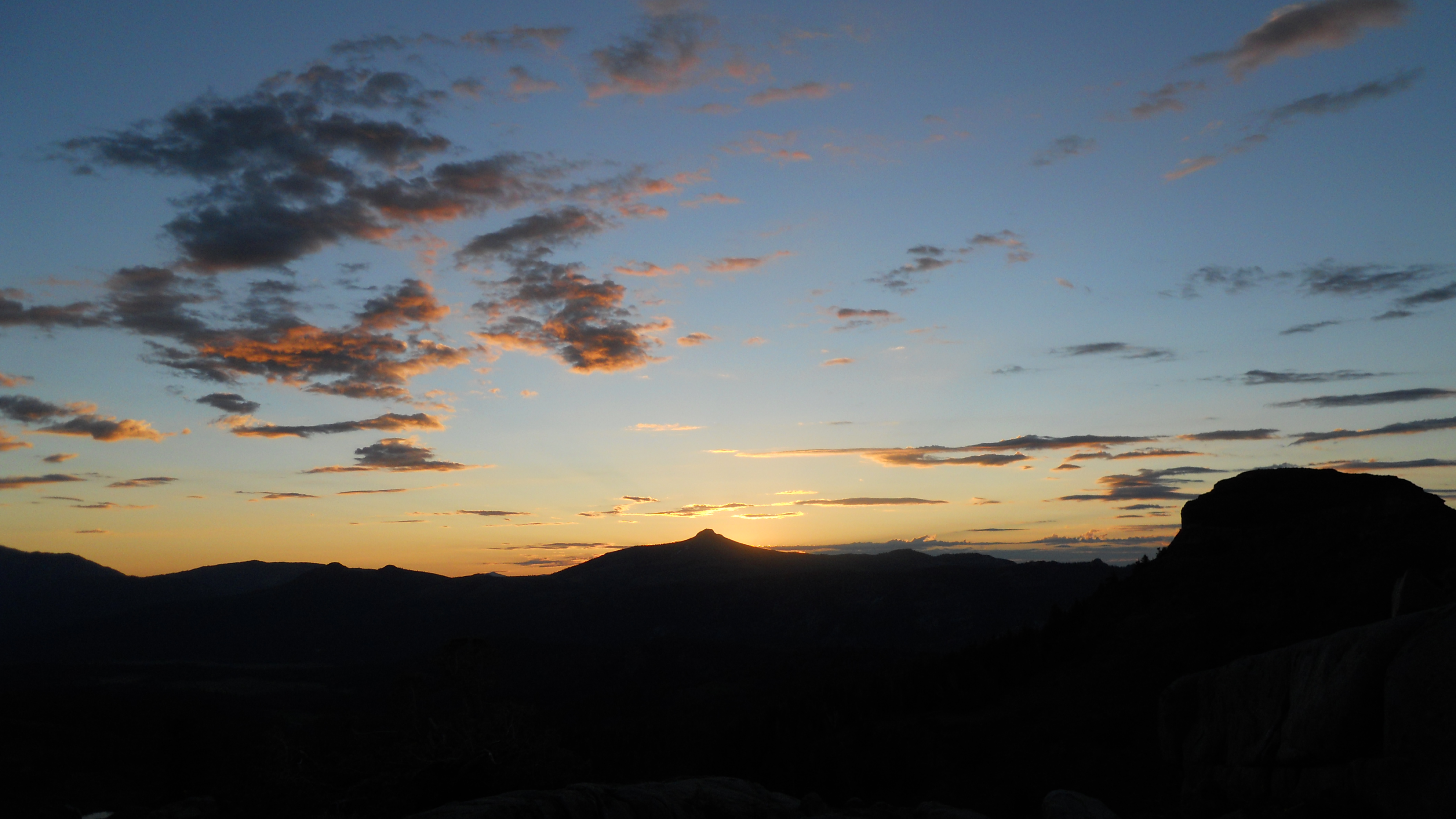
Sunset over Carson River
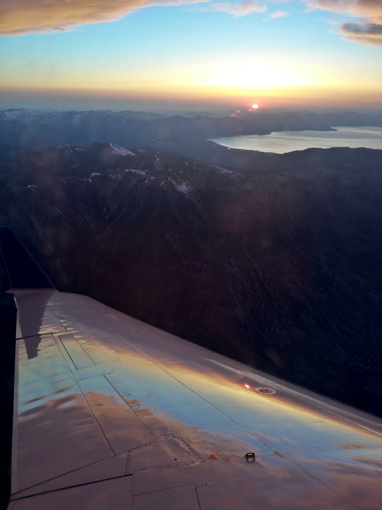
On approach
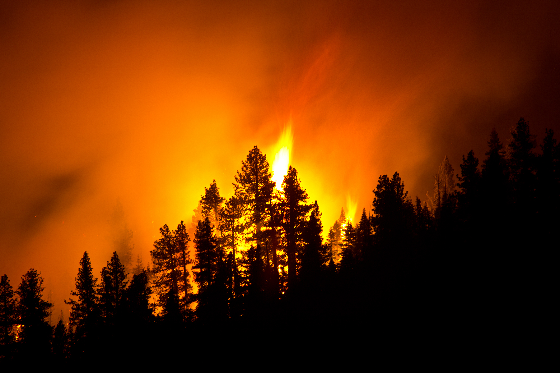
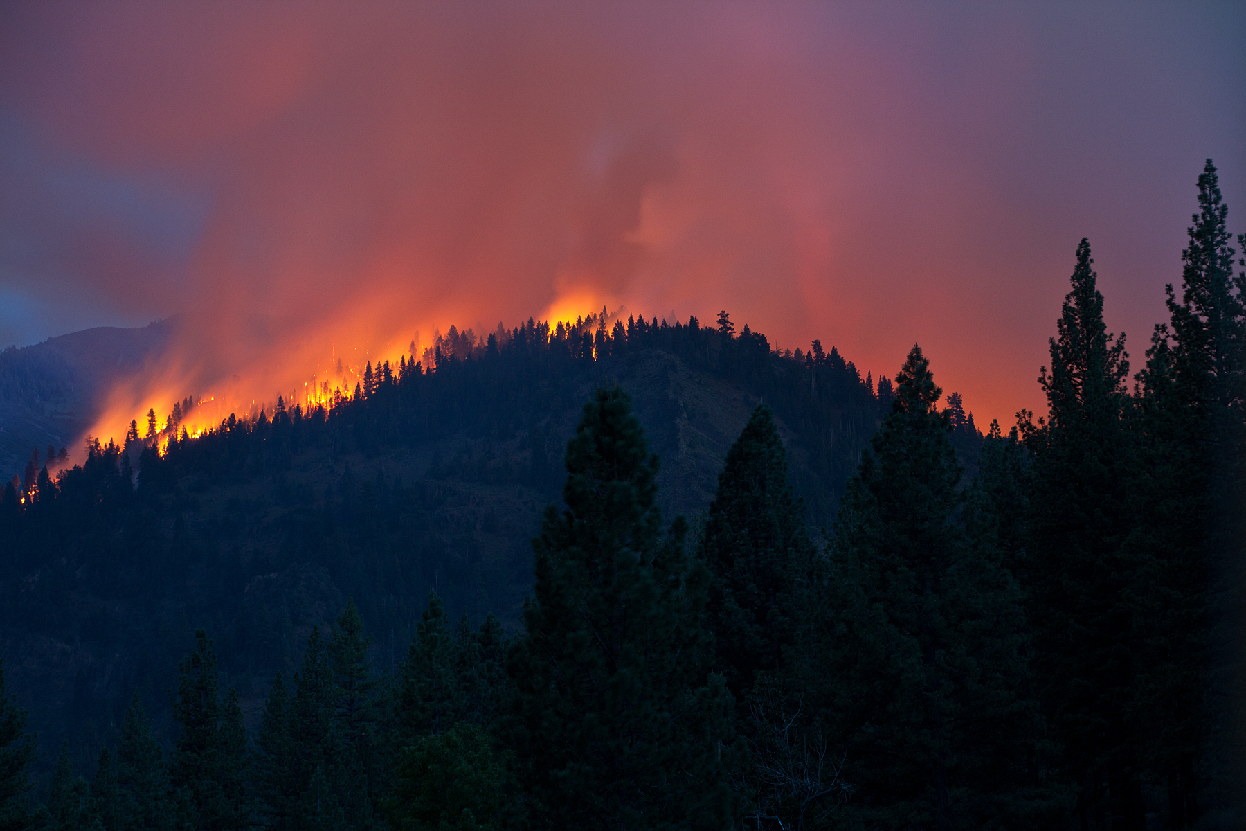
Washington Fire

Washington Fire
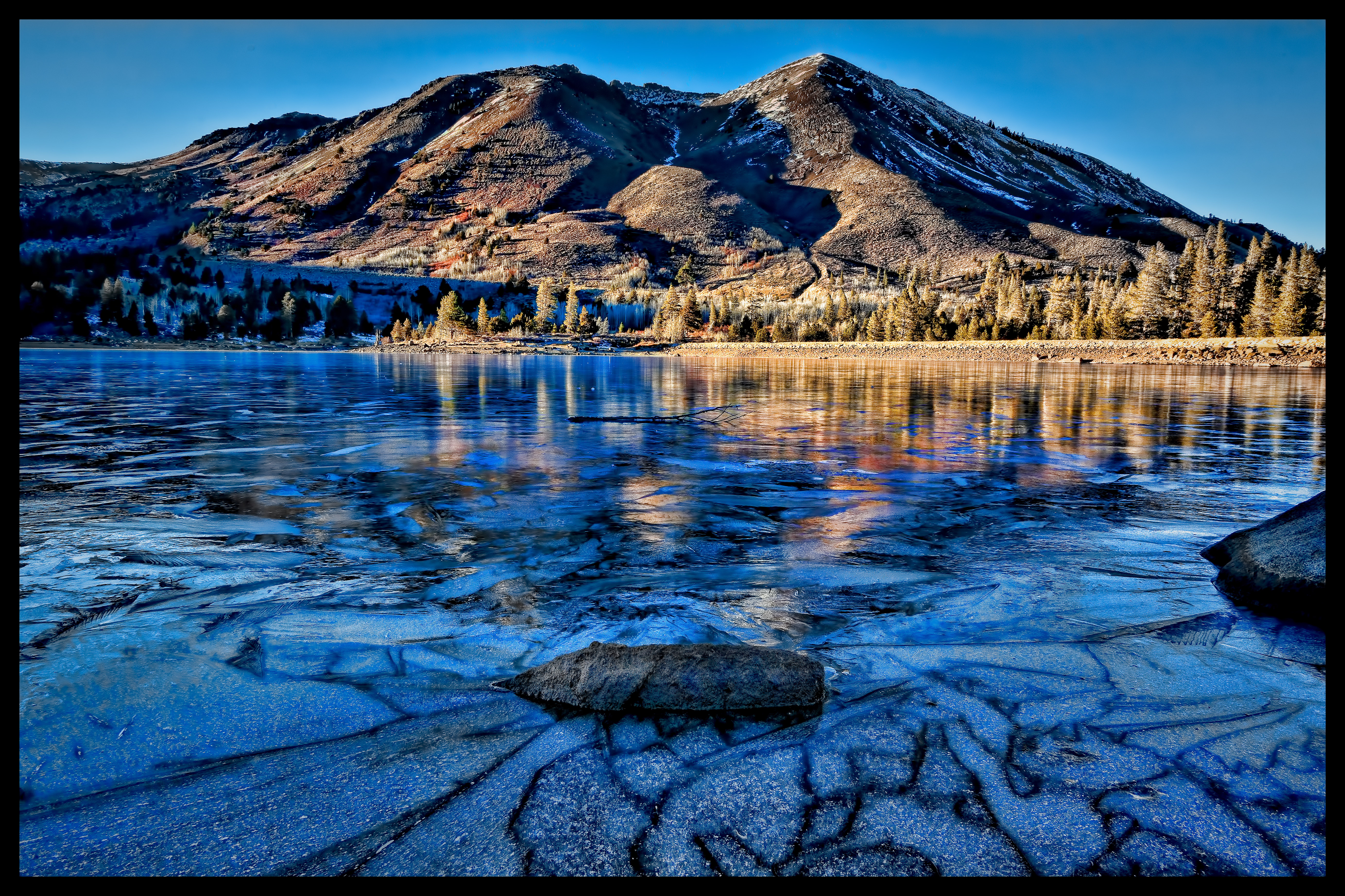
Frozen Red Lake, Alpine CA
Sunset at Lost Lake
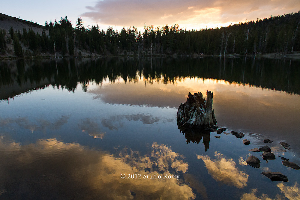
Sunset on the Upper Lost Lake
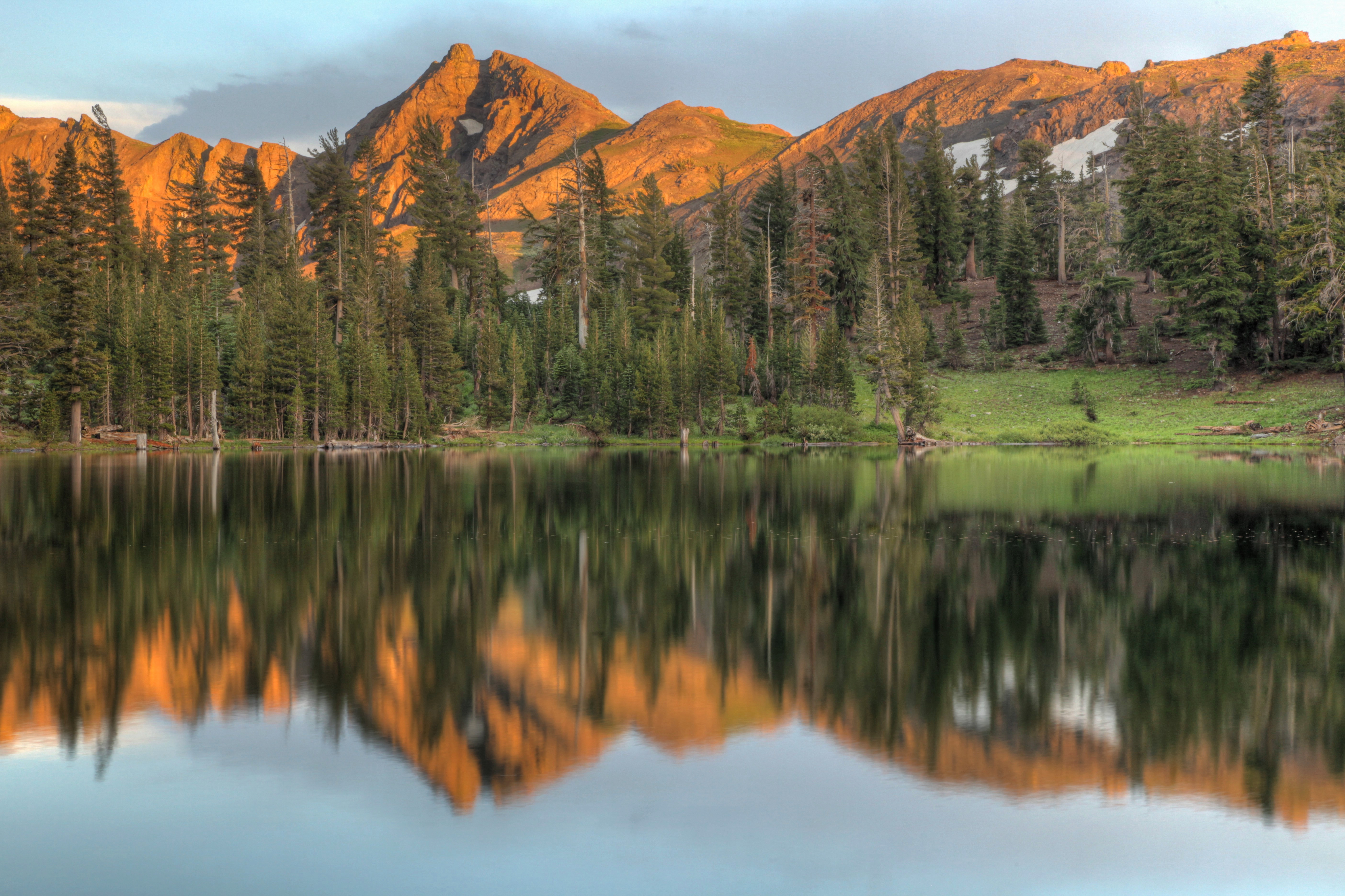
Hope Valley Sunset
Twin Lake
Grover Hot Springs
Twin Lake, Alpine County, California
Sierra Nevada sunset
Washington Fire
Drive into the Light
Hope Valley sunset
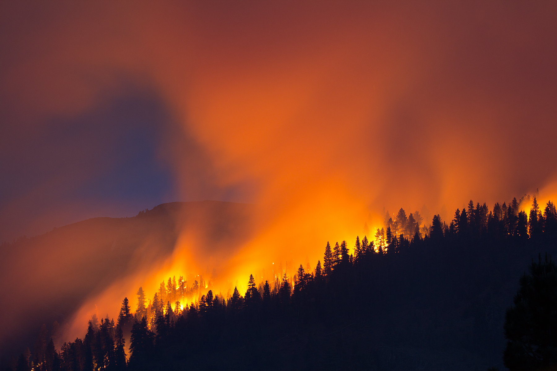
Washington Fire
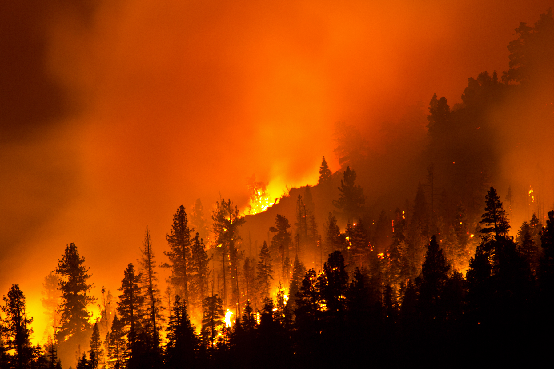
Washington Fire

Washington Fire
PCT-Echo-Tuolumne - 07-13-2010 - 054614

PCT-Echo-Tuolumne - 07-13-2010 - 054708
66 Pleasant Valley Rd, Markleeville, CA, USA Karte
Suchen Sie einen anderen Ort
Nahe Plätze
Markleeville, Kalifornien, USA
Shay Creek Rd, Markleeville, CA, USA
Thornburg Peak, Markleeville, CA, USA
2 Sage Ave, Markleeville, CA, USA
Alpine Village, CA, USA
95 Woodfords Ln, Markleeville, CA, USA
Crystal Springs Rd, Markleeville, CA, USA
Hawkins Peak, California, USA
Crystal Springs Road, Crystal Springs Rd, California, USA
Raymond Peak, California, USA
Pony Express Trail, Markleeville, CA, USA
Markleeville Peak, California, USA
Mesa Vista, CA, USA
Reynolds Peak, California, USA
Emigrant Trail, Markleeville, CA, USA
Diamond Valley Rd, Markleeville, CA, USA
Pickett Peak, California, USA
Alpine County, Kalifornien, USA
CA-88, Markleeville, CA, USA
Sorensen's Resort, CA-88, Hope Valley, CA, USA
Letzte Suche
- Red Dog Mine, AK, USA Sonnenaufgang Sonnenuntergang Zeiten
- Am Bahnhof, Am bhf, Borken, Germany Sonnenaufgang Sonnenuntergang Zeiten
- 4th St E, Sonoma, CA, USA Sonnenaufgang Sonnenuntergang Zeiten
- Oakland Ave, Williamsport, PA, USA Sonnenaufgang Sonnenuntergang Zeiten
- Via Roma, Pieranica CR, Italien Sonnenaufgang Sonnenuntergang Zeiten
- Glockenturm, Grad, Dubrovnik, Kroatien Sonnenaufgang Sonnenuntergang Zeiten
- Trelew, Chubut Province, Argentina Sonnenaufgang Sonnenuntergang Zeiten
- Hartfords Bluff Cir, Mt Pleasant, SC, USA Sonnenaufgang Sonnenuntergang Zeiten
- Kita-ku, Kumamoto, Präfektur Kumamoto, Japan Sonnenaufgang Sonnenuntergang Zeiten
- Pingtan Island, Pingtan County, Fuzhou, China Sonnenaufgang Sonnenuntergang Zeiten