| Zeitzone: | Rocky-Mountains-Normalzeit |
|---|---|
| Ortszeit: | Dienstag, 10. November 2026 04:42 |
| Länge: | -105.440135 |
| Breite: | 42.740495 |
| Sonnenaufgang Heute: | 06:48:29 |
| Sonnenuntergang Heute: | 16:45:35 |
| Tageslänge heute: | 9h 57m 6s |
| Sonnenaufgang morgen: | 06:49:46 |
| Sonnenuntergang Morgen: | 16:44:33 |
| Tageslänge von morgen: | 9h 54m 46s |
: Alle Termine anzeigen
| Datum | Sonnenaufgang | Sonnenuntergang | Tageslänge |
|---|---|---|---|
| 1. Jan. 2026 | 07:33:24 | 16:38:40 | 9h 5m 15s |
| 1. Feb. 2026 | 07:18:35 | 17:14:19 | 9h 55m 44s |
| 1. März 2026 | 06:40:40 | 17:50:52 | 11h 10m 12s |
| 1. Apr. 2026 | 06:46:54 | 19:27:13 | 12h 40m 19s |
| 1. Mai 2026 | 05:58:43 | 20:01:36 | 14h 2m 53s |
| 1. Juni 2026 | 05:28:14 | 20:33:36 | 15h 5m 21s |
| 1. Juli 2026 | 05:28:01 | 20:45:08 | 15h 17m 6s |
| 1. Aug. 2026 | 05:53:26 | 20:25:16 | 14h 31m 50s |
| 1. Sep. 2026 | 06:26:51 | 19:40:21 | 13h 13m 29s |
| 1. Okt. 2026 | 06:58:58 | 18:46:58 | 11h 48m 0s |
| 1. Nov. 2026 | 07:35:41 | 17:57:31 | 10h 21m 50s |
| 10. Nov. 2026 | 06:47:12 | 16:46:39 | 9h 59m 27s |
| 11. Nov. 2026 | 06:48:29 | 16:45:35 | 9h 57m 6s |
| 1. Dez. 2026 | 07:12:51 | 16:31:02 | 9h 18m 11s |
Fotos von Sonnenaufgang und Sonnenuntergang
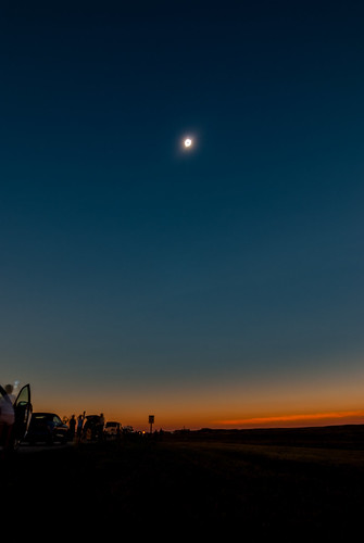
Solar Eclipse by smets84

UP 5832 | GE AC44CWCTE | BNSF Orin Subdivision by M.J. Scanlon

UP 5832 | GE AC44CWCTE | BNSF Orin Subdivision by M.J. Scanlon

UP CWLBT1 by dlanek

Ayres Bridge Sunset by kevin-palmer

Water Under the Bridge by kevin-palmer

Top of the Bridge by kevin-palmer

IMG_2006 by StephenGA

La Prele Cliffs by kevin-palmer

Windmill at Sunset by KCG Photo

smoky wyoming sunset by Chris Berendes

Not exactly what you want to see coming at you across the #Wyoming #landscape... #Ghostbusters #clouds #roadtrip by timothybronson