Sunrise Sunset Times of Commerce, OK, USA
Location: United States > Oklahoma > Ottawa County >
Timezone:
America/Chicago
Current Time:
2025-07-13 15:44:49
Longitude:
-94.8730095
Latitude:
36.9334023
Sunrise Today:
06:11:43 AM
Sunset Today:
08:39:13 PM
Daylength Today:
14h 27m 30s
Sunrise Tomorrow:
06:12:24 AM
Sunset Tomorrow:
08:38:44 PM
Daylength Tomorrow:
14h 26m 20s
Year Show All Dates
| Date | Sunrise | Sunset | Daylength |
|---|---|---|---|
| 01/01/2025 | 07:32:41 AM | 05:14:36 PM | 9h 41m 55s |
| 01/02/2025 | 07:32:47 AM | 05:15:25 PM | 9h 42m 38s |
| 01/03/2025 | 07:32:51 AM | 05:16:16 PM | 9h 43m 25s |
| 01/04/2025 | 07:32:53 AM | 05:17:07 PM | 9h 44m 14s |
| 01/05/2025 | 07:32:53 AM | 05:18:00 PM | 9h 45m 7s |
| 01/06/2025 | 07:32:51 AM | 05:18:54 PM | 9h 46m 3s |
| 01/07/2025 | 07:32:47 AM | 05:19:49 PM | 9h 47m 2s |
| 01/08/2025 | 07:32:41 AM | 05:20:44 PM | 9h 48m 3s |
| 01/09/2025 | 07:32:33 AM | 05:21:41 PM | 9h 49m 8s |
| 01/10/2025 | 07:32:22 AM | 05:22:38 PM | 9h 50m 16s |
| 01/11/2025 | 07:32:10 AM | 05:23:37 PM | 9h 51m 27s |
| 01/12/2025 | 07:31:56 AM | 05:24:36 PM | 9h 52m 40s |
| 01/13/2025 | 07:31:40 AM | 05:25:36 PM | 9h 53m 56s |
| 01/14/2025 | 07:31:22 AM | 05:26:36 PM | 9h 55m 14s |
| 01/15/2025 | 07:31:02 AM | 05:27:37 PM | 9h 56m 35s |
| 01/16/2025 | 07:30:40 AM | 05:28:39 PM | 9h 57m 59s |
| 01/17/2025 | 07:30:16 AM | 05:29:41 PM | 9h 59m 25s |
| 01/18/2025 | 07:29:50 AM | 05:30:44 PM | 10h 0m 54s |
| 01/19/2025 | 07:29:22 AM | 05:31:47 PM | 10h 2m 25s |
| 01/20/2025 | 07:28:52 AM | 05:32:50 PM | 10h 3m 58s |
| 01/21/2025 | 07:28:20 AM | 05:33:54 PM | 10h 5m 34s |
| 01/22/2025 | 07:27:47 AM | 05:34:58 PM | 10h 7m 11s |
| 01/23/2025 | 07:27:12 AM | 05:36:03 PM | 10h 8m 51s |
| 01/24/2025 | 07:26:34 AM | 05:37:07 PM | 10h 10m 33s |
| 01/25/2025 | 07:25:56 AM | 05:38:12 PM | 10h 12m 16s |
| 01/26/2025 | 07:25:15 AM | 05:39:17 PM | 10h 14m 2s |
| 01/27/2025 | 07:24:33 AM | 05:40:22 PM | 10h 15m 49s |
| 01/28/2025 | 07:23:48 AM | 05:41:27 PM | 10h 17m 39s |
| 01/29/2025 | 07:23:03 AM | 05:42:32 PM | 10h 19m 29s |
| 01/30/2025 | 07:22:15 AM | 05:43:37 PM | 10h 21m 22s |
| 01/31/2025 | 07:21:26 AM | 05:44:43 PM | 10h 23m 17s |
| 02/01/2025 | 07:20:36 AM | 05:45:48 PM | 10h 25m 12s |
| 02/02/2025 | 07:19:43 AM | 05:46:53 PM | 10h 27m 10s |
| 02/03/2025 | 07:18:50 AM | 05:47:58 PM | 10h 29m 8s |
| 02/04/2025 | 07:17:55 AM | 05:49:02 PM | 10h 31m 7s |
| 02/05/2025 | 07:16:58 AM | 05:50:07 PM | 10h 33m 9s |
| 02/06/2025 | 07:16:00 AM | 05:51:12 PM | 10h 35m 12s |
| 02/07/2025 | 07:15:00 AM | 05:52:16 PM | 10h 37m 16s |
| 02/08/2025 | 07:14:00 AM | 05:53:20 PM | 10h 39m 20s |
| 02/09/2025 | 07:12:57 AM | 05:54:24 PM | 10h 41m 27s |
| 02/10/2025 | 07:11:54 AM | 05:55:28 PM | 10h 43m 34s |
| 02/11/2025 | 07:10:49 AM | 05:56:31 PM | 10h 45m 42s |
| 02/12/2025 | 07:09:43 AM | 05:57:34 PM | 10h 47m 51s |
| 02/13/2025 | 07:08:36 AM | 05:58:37 PM | 10h 50m 1s |
| 02/14/2025 | 07:07:27 AM | 05:59:40 PM | 10h 52m 13s |
| 02/15/2025 | 07:06:18 AM | 06:00:42 PM | 10h 54m 24s |
| 02/16/2025 | 07:05:07 AM | 06:01:44 PM | 10h 56m 37s |
| 02/17/2025 | 07:03:56 AM | 06:02:46 PM | 10h 58m 50s |
| 02/18/2025 | 07:02:43 AM | 06:03:47 PM | 11h 1m 4s |
| 02/19/2025 | 07:01:29 AM | 06:04:48 PM | 11h 3m 19s |
| 02/20/2025 | 07:00:14 AM | 06:05:49 PM | 11h 5m 35s |
| 02/21/2025 | 06:58:59 AM | 06:06:50 PM | 11h 7m 51s |
| 02/22/2025 | 06:57:42 AM | 06:07:50 PM | 11h 10m 8s |
| 02/23/2025 | 06:56:25 AM | 06:08:49 PM | 11h 12m 24s |
| 02/24/2025 | 06:55:06 AM | 06:09:49 PM | 11h 14m 43s |
| 02/25/2025 | 06:53:47 AM | 06:10:48 PM | 11h 17m 1s |
| 02/26/2025 | 06:52:27 AM | 06:11:47 PM | 11h 19m 20s |
| 02/27/2025 | 06:51:07 AM | 06:12:45 PM | 11h 21m 38s |
| 02/28/2025 | 06:49:45 AM | 06:13:44 PM | 11h 23m 59s |
| 03/01/2025 | 06:48:23 AM | 06:14:41 PM | 11h 26m 18s |
| 03/02/2025 | 06:47:01 AM | 06:15:39 PM | 11h 28m 38s |
| 03/03/2025 | 06:45:37 AM | 06:16:36 PM | 11h 30m 59s |
| 03/04/2025 | 06:44:13 AM | 06:17:33 PM | 11h 33m 20s |
| 03/05/2025 | 06:42:49 AM | 06:18:30 PM | 11h 35m 41s |
| 03/06/2025 | 06:41:24 AM | 06:19:26 PM | 11h 38m 2s |
| 03/07/2025 | 06:39:59 AM | 06:20:22 PM | 11h 40m 23s |
| 03/08/2025 | 06:38:33 AM | 06:21:18 PM | 11h 42m 45s |
| 03/09/2025 | 07:37:10 AM | 07:22:12 PM | 11h 45m 2s |
| 03/10/2025 | 07:35:43 AM | 07:23:07 PM | 11h 47m 24s |
| 03/11/2025 | 07:34:16 AM | 07:24:02 PM | 11h 49m 46s |
| 03/12/2025 | 07:32:49 AM | 07:24:57 PM | 11h 52m 8s |
| 03/13/2025 | 07:31:21 AM | 07:25:52 PM | 11h 54m 31s |
| 03/14/2025 | 07:29:53 AM | 07:26:46 PM | 11h 56m 53s |
| 03/15/2025 | 07:28:24 AM | 07:27:40 PM | 11h 59m 16s |
| 03/16/2025 | 07:26:56 AM | 07:28:35 PM | 12h 1m 39s |
| 03/17/2025 | 07:25:27 AM | 07:29:28 PM | 12h 4m 1s |
| 03/18/2025 | 07:23:58 AM | 07:30:22 PM | 12h 6m 24s |
| 03/19/2025 | 07:22:29 AM | 07:31:16 PM | 12h 8m 47s |
| 03/20/2025 | 07:21:00 AM | 07:32:09 PM | 12h 11m 9s |
| 03/21/2025 | 07:19:31 AM | 07:33:03 PM | 12h 13m 32s |
| 03/22/2025 | 07:18:02 AM | 07:33:56 PM | 12h 15m 54s |
| 03/23/2025 | 07:16:33 AM | 07:34:49 PM | 12h 18m 16s |
| 03/24/2025 | 07:15:04 AM | 07:35:42 PM | 12h 20m 38s |
| 03/25/2025 | 07:13:34 AM | 07:36:35 PM | 12h 23m 1s |
| 03/26/2025 | 07:12:05 AM | 07:37:28 PM | 12h 25m 23s |
| 03/27/2025 | 07:10:36 AM | 07:38:20 PM | 12h 27m 44s |
| 03/28/2025 | 07:09:08 AM | 07:39:13 PM | 12h 30m 5s |
| 03/29/2025 | 07:07:39 AM | 07:40:06 PM | 12h 32m 27s |
| 03/30/2025 | 07:06:11 AM | 07:40:58 PM | 12h 34m 47s |
| 03/31/2025 | 07:04:42 AM | 07:41:51 PM | 12h 37m 9s |
| 04/01/2025 | 07:03:14 AM | 07:42:44 PM | 12h 39m 30s |
| 04/02/2025 | 07:01:47 AM | 07:43:36 PM | 12h 41m 49s |
| 04/03/2025 | 07:00:19 AM | 07:44:29 PM | 12h 44m 10s |
| 04/04/2025 | 06:58:52 AM | 07:45:21 PM | 12h 46m 29s |
| 04/05/2025 | 06:57:26 AM | 07:46:14 PM | 12h 48m 48s |
| 04/06/2025 | 06:55:59 AM | 07:47:06 PM | 12h 51m 7s |
| 04/07/2025 | 06:54:34 AM | 07:47:59 PM | 12h 53m 25s |
| 04/08/2025 | 06:53:08 AM | 07:48:52 PM | 12h 55m 44s |
| 04/09/2025 | 06:51:44 AM | 07:49:44 PM | 12h 58m 0s |
| 04/10/2025 | 06:50:19 AM | 07:50:37 PM | 13h 0m 18s |
| 04/11/2025 | 06:48:55 AM | 07:51:30 PM | 13h 2m 35s |
| 04/12/2025 | 06:47:32 AM | 07:52:23 PM | 13h 4m 51s |
| 04/13/2025 | 06:46:10 AM | 07:53:15 PM | 13h 7m 5s |
| 04/14/2025 | 06:44:48 AM | 07:54:08 PM | 13h 9m 20s |
| 04/15/2025 | 06:43:27 AM | 07:55:01 PM | 13h 11m 34s |
| 04/16/2025 | 06:42:06 AM | 07:55:54 PM | 13h 13m 48s |
| 04/17/2025 | 06:40:46 AM | 07:56:47 PM | 13h 16m 1s |
| 04/18/2025 | 06:39:27 AM | 07:57:40 PM | 13h 18m 13s |
| 04/19/2025 | 06:38:09 AM | 07:58:33 PM | 13h 20m 24s |
| 04/20/2025 | 06:36:51 AM | 07:59:27 PM | 13h 22m 36s |
| 04/21/2025 | 06:35:35 AM | 08:00:20 PM | 13h 24m 45s |
| 04/22/2025 | 06:34:19 AM | 08:01:13 PM | 13h 26m 54s |
| 04/23/2025 | 06:33:04 AM | 08:02:06 PM | 13h 29m 2s |
| 04/24/2025 | 06:31:50 AM | 08:02:59 PM | 13h 31m 9s |
| 04/25/2025 | 06:30:38 AM | 08:03:53 PM | 13h 33m 15s |
| 04/26/2025 | 06:29:26 AM | 08:04:46 PM | 13h 35m 20s |
| 04/27/2025 | 06:28:15 AM | 08:05:39 PM | 13h 37m 24s |
| 04/28/2025 | 06:27:05 AM | 08:06:32 PM | 13h 39m 27s |
| 04/29/2025 | 06:25:56 AM | 08:07:26 PM | 13h 41m 30s |
| 04/30/2025 | 06:24:49 AM | 08:08:19 PM | 13h 43m 30s |
| 05/01/2025 | 06:23:42 AM | 08:09:12 PM | 13h 45m 30s |
| 05/02/2025 | 06:22:37 AM | 08:10:05 PM | 13h 47m 28s |
| 05/03/2025 | 06:21:33 AM | 08:10:58 PM | 13h 49m 25s |
| 05/04/2025 | 06:20:30 AM | 08:11:51 PM | 13h 51m 21s |
| 05/05/2025 | 06:19:28 AM | 08:12:43 PM | 13h 53m 15s |
| 05/06/2025 | 06:18:28 AM | 08:13:36 PM | 13h 55m 8s |
| 05/07/2025 | 06:17:29 AM | 08:14:28 PM | 13h 56m 59s |
| 05/08/2025 | 06:16:31 AM | 08:15:20 PM | 13h 58m 49s |
| 05/09/2025 | 06:15:35 AM | 08:16:12 PM | 14h 0m 37s |
| 05/10/2025 | 06:14:40 AM | 08:17:04 PM | 14h 2m 24s |
| 05/11/2025 | 06:13:46 AM | 08:17:56 PM | 14h 4m 10s |
| 05/12/2025 | 06:12:54 AM | 08:18:47 PM | 14h 5m 53s |
| 05/13/2025 | 06:12:03 AM | 08:19:38 PM | 14h 7m 35s |
| 05/14/2025 | 06:11:14 AM | 08:20:28 PM | 14h 9m 14s |
| 05/15/2025 | 06:10:27 AM | 08:21:18 PM | 14h 10m 51s |
| 05/16/2025 | 06:09:40 AM | 08:22:08 PM | 14h 12m 28s |
| 05/17/2025 | 06:08:56 AM | 08:22:57 PM | 14h 14m 1s |
| 05/18/2025 | 06:08:13 AM | 08:23:46 PM | 14h 15m 33s |
| 05/19/2025 | 06:07:31 AM | 08:24:34 PM | 14h 17m 3s |
| 05/20/2025 | 06:06:51 AM | 08:25:22 PM | 14h 18m 31s |
| 05/21/2025 | 06:06:13 AM | 08:26:09 PM | 14h 19m 56s |
| 05/22/2025 | 06:05:37 AM | 08:26:56 PM | 14h 21m 19s |
| 05/23/2025 | 06:05:02 AM | 08:27:42 PM | 14h 22m 40s |
| 05/24/2025 | 06:04:28 AM | 08:28:27 PM | 14h 23m 59s |
| 05/25/2025 | 06:03:57 AM | 08:29:12 PM | 14h 25m 15s |
| 05/26/2025 | 06:03:27 AM | 08:29:56 PM | 14h 26m 29s |
| 05/27/2025 | 06:02:59 AM | 08:30:39 PM | 14h 27m 40s |
| 05/28/2025 | 06:02:32 AM | 08:31:21 PM | 14h 28m 49s |
| 05/29/2025 | 06:02:08 AM | 08:32:02 PM | 14h 29m 54s |
| 05/30/2025 | 06:01:45 AM | 08:32:43 PM | 14h 30m 58s |
| 05/31/2025 | 06:01:24 AM | 08:33:22 PM | 14h 31m 58s |
| 06/01/2025 | 06:01:04 AM | 08:34:01 PM | 14h 32m 57s |
| 06/02/2025 | 06:00:46 AM | 08:34:38 PM | 14h 33m 52s |
| 06/03/2025 | 06:00:30 AM | 08:35:15 PM | 14h 34m 45s |
| 06/04/2025 | 06:00:16 AM | 08:35:50 PM | 14h 35m 34s |
| 06/05/2025 | 06:00:04 AM | 08:36:24 PM | 14h 36m 20s |
| 06/06/2025 | 05:59:53 AM | 08:36:58 PM | 14h 37m 5s |
| 06/07/2025 | 05:59:44 AM | 08:37:29 PM | 14h 37m 45s |
| 06/08/2025 | 05:59:37 AM | 08:38:00 PM | 14h 38m 23s |
| 06/09/2025 | 05:59:32 AM | 08:38:30 PM | 14h 38m 58s |
| 06/10/2025 | 05:59:28 AM | 08:38:58 PM | 14h 39m 30s |
| 06/11/2025 | 05:59:26 AM | 08:39:24 PM | 14h 39m 58s |
| 06/12/2025 | 05:59:26 AM | 08:39:50 PM | 14h 40m 24s |
| 06/13/2025 | 05:59:27 AM | 08:40:14 PM | 14h 40m 47s |
| 06/14/2025 | 05:59:30 AM | 08:40:36 PM | 14h 41m 6s |
| 06/15/2025 | 05:59:35 AM | 08:40:57 PM | 14h 41m 22s |
| 06/16/2025 | 05:59:41 AM | 08:41:17 PM | 14h 41m 36s |
| 06/17/2025 | 05:59:50 AM | 08:41:35 PM | 14h 41m 45s |
| 06/18/2025 | 05:59:59 AM | 08:41:51 PM | 14h 41m 52s |
| 06/19/2025 | 06:00:11 AM | 08:42:06 PM | 14h 41m 55s |
| 06/20/2025 | 06:00:23 AM | 08:42:19 PM | 14h 41m 56s |
| 06/21/2025 | 06:00:38 AM | 08:42:31 PM | 14h 41m 53s |
| 06/22/2025 | 06:00:54 AM | 08:42:41 PM | 14h 41m 47s |
| 06/23/2025 | 06:01:11 AM | 08:42:49 PM | 14h 41m 38s |
| 06/24/2025 | 06:01:30 AM | 08:42:56 PM | 14h 41m 26s |
| 06/25/2025 | 06:01:50 AM | 08:43:01 PM | 14h 41m 11s |
| 06/26/2025 | 06:02:12 AM | 08:43:04 PM | 14h 40m 52s |
| 06/27/2025 | 06:02:35 AM | 08:43:06 PM | 14h 40m 31s |
| 06/28/2025 | 06:03:00 AM | 08:43:05 PM | 14h 40m 5s |
| 06/29/2025 | 06:03:25 AM | 08:43:03 PM | 14h 39m 38s |
| 06/30/2025 | 06:03:53 AM | 08:42:59 PM | 14h 39m 6s |
| 07/01/2025 | 06:04:21 AM | 08:42:54 PM | 14h 38m 33s |
| 07/02/2025 | 06:04:50 AM | 08:42:46 PM | 14h 37m 56s |
| 07/03/2025 | 06:05:21 AM | 08:42:37 PM | 14h 37m 16s |
| 07/04/2025 | 06:05:53 AM | 08:42:26 PM | 14h 36m 33s |
| 07/05/2025 | 06:06:26 AM | 08:42:13 PM | 14h 35m 47s |
| 07/06/2025 | 06:07:00 AM | 08:41:59 PM | 14h 34m 59s |
| 07/07/2025 | 06:07:35 AM | 08:41:42 PM | 14h 34m 7s |
| 07/08/2025 | 06:08:11 AM | 08:41:24 PM | 14h 33m 13s |
| 07/09/2025 | 06:08:48 AM | 08:41:04 PM | 14h 32m 16s |
| 07/10/2025 | 06:09:25 AM | 08:40:42 PM | 14h 31m 17s |
| 07/11/2025 | 06:10:04 AM | 08:40:19 PM | 14h 30m 15s |
| 07/12/2025 | 06:10:44 AM | 08:39:54 PM | 14h 29m 10s |
| 07/13/2025 | 06:11:24 AM | 08:39:26 PM | 14h 28m 2s |
| 07/14/2025 | 06:12:05 AM | 08:38:58 PM | 14h 26m 53s |
| 07/15/2025 | 06:12:47 AM | 08:38:27 PM | 14h 25m 40s |
| 07/16/2025 | 06:13:29 AM | 08:37:55 PM | 14h 24m 26s |
| 07/17/2025 | 06:14:13 AM | 08:37:21 PM | 14h 23m 8s |
| 07/18/2025 | 06:14:56 AM | 08:36:45 PM | 14h 21m 49s |
| 07/19/2025 | 06:15:41 AM | 08:36:07 PM | 14h 20m 26s |
| 07/20/2025 | 06:16:26 AM | 08:35:28 PM | 14h 19m 2s |
| 07/21/2025 | 06:17:11 AM | 08:34:48 PM | 14h 17m 37s |
| 07/22/2025 | 06:17:57 AM | 08:34:05 PM | 14h 16m 8s |
| 07/23/2025 | 06:18:43 AM | 08:33:21 PM | 14h 14m 38s |
| 07/24/2025 | 06:19:30 AM | 08:32:36 PM | 14h 13m 6s |
| 07/25/2025 | 06:20:17 AM | 08:31:48 PM | 14h 11m 31s |
| 07/26/2025 | 06:21:04 AM | 08:31:00 PM | 14h 9m 56s |
| 07/27/2025 | 06:21:52 AM | 08:30:09 PM | 14h 8m 17s |
| 07/28/2025 | 06:22:40 AM | 08:29:18 PM | 14h 6m 38s |
| 07/29/2025 | 06:23:29 AM | 08:28:25 PM | 14h 4m 56s |
| 07/30/2025 | 06:24:17 AM | 08:27:30 PM | 14h 3m 13s |
| 07/31/2025 | 06:25:06 AM | 08:26:34 PM | 14h 1m 28s |
| 08/01/2025 | 06:25:55 AM | 08:25:36 PM | 13h 59m 41s |
| 08/02/2025 | 06:26:44 AM | 08:24:37 PM | 13h 57m 53s |
| 08/03/2025 | 06:27:33 AM | 08:23:37 PM | 13h 56m 4s |
| 08/04/2025 | 06:28:23 AM | 08:22:36 PM | 13h 54m 13s |
| 08/05/2025 | 06:29:12 AM | 08:21:33 PM | 13h 52m 21s |
| 08/06/2025 | 06:30:02 AM | 08:20:29 PM | 13h 50m 27s |
| 08/07/2025 | 06:30:52 AM | 08:19:23 PM | 13h 48m 31s |
| 08/08/2025 | 06:31:41 AM | 08:18:17 PM | 13h 46m 36s |
| 08/09/2025 | 06:32:31 AM | 08:17:09 PM | 13h 44m 38s |
| 08/10/2025 | 06:33:21 AM | 08:16:00 PM | 13h 42m 39s |
| 08/11/2025 | 06:34:10 AM | 08:14:50 PM | 13h 40m 40s |
| 08/12/2025 | 06:35:00 AM | 08:13:39 PM | 13h 38m 39s |
| 08/13/2025 | 06:35:50 AM | 08:12:26 PM | 13h 36m 36s |
| 08/14/2025 | 06:36:40 AM | 08:11:13 PM | 13h 34m 33s |
| 08/15/2025 | 06:37:29 AM | 08:09:59 PM | 13h 32m 30s |
| 08/16/2025 | 06:38:19 AM | 08:08:43 PM | 13h 30m 24s |
| 08/17/2025 | 06:39:09 AM | 08:07:27 PM | 13h 28m 18s |
| 08/18/2025 | 06:39:58 AM | 08:06:10 PM | 13h 26m 12s |
| 08/19/2025 | 06:40:47 AM | 08:04:52 PM | 13h 24m 5s |
| 08/20/2025 | 06:41:37 AM | 08:03:33 PM | 13h 21m 56s |
| 08/21/2025 | 06:42:26 AM | 08:02:13 PM | 13h 19m 47s |
| 08/22/2025 | 06:43:15 AM | 08:00:53 PM | 13h 17m 38s |
| 08/23/2025 | 06:44:05 AM | 07:59:31 PM | 13h 15m 26s |
| 08/24/2025 | 06:44:54 AM | 07:58:09 PM | 13h 13m 15s |
| 08/25/2025 | 06:45:43 AM | 07:56:46 PM | 13h 11m 3s |
| 08/26/2025 | 06:46:31 AM | 07:55:23 PM | 13h 8m 52s |
| 08/27/2025 | 06:47:20 AM | 07:53:58 PM | 13h 6m 38s |
| 08/28/2025 | 06:48:09 AM | 07:52:34 PM | 13h 4m 25s |
| 08/29/2025 | 06:48:58 AM | 07:51:08 PM | 13h 2m 10s |
| 08/30/2025 | 06:49:46 AM | 07:49:42 PM | 12h 59m 56s |
| 08/31/2025 | 06:50:35 AM | 07:48:15 PM | 12h 57m 40s |
| 09/01/2025 | 06:51:23 AM | 07:46:48 PM | 12h 55m 25s |
| 09/02/2025 | 06:52:12 AM | 07:45:21 PM | 12h 53m 9s |
| 09/03/2025 | 06:53:00 AM | 07:43:53 PM | 12h 50m 53s |
| 09/04/2025 | 06:53:48 AM | 07:42:24 PM | 12h 48m 36s |
| 09/05/2025 | 06:54:37 AM | 07:40:55 PM | 12h 46m 18s |
| 09/06/2025 | 06:55:25 AM | 07:39:26 PM | 12h 44m 1s |
| 09/07/2025 | 06:56:13 AM | 07:37:57 PM | 12h 41m 44s |
| 09/08/2025 | 06:57:01 AM | 07:36:27 PM | 12h 39m 26s |
| 09/09/2025 | 06:57:50 AM | 07:34:56 PM | 12h 37m 6s |
| 09/10/2025 | 06:58:38 AM | 07:33:26 PM | 12h 34m 48s |
| 09/11/2025 | 06:59:26 AM | 07:31:55 PM | 12h 32m 29s |
| 09/12/2025 | 07:00:14 AM | 07:30:24 PM | 12h 30m 10s |
| 09/13/2025 | 07:01:03 AM | 07:28:53 PM | 12h 27m 50s |
| 09/14/2025 | 07:01:51 AM | 07:27:22 PM | 12h 25m 31s |
| 09/15/2025 | 07:02:39 AM | 07:25:51 PM | 12h 23m 12s |
| 09/16/2025 | 07:03:28 AM | 07:24:20 PM | 12h 20m 52s |
| 09/17/2025 | 07:04:17 AM | 07:22:48 PM | 12h 18m 31s |
| 09/18/2025 | 07:05:05 AM | 07:21:17 PM | 12h 16m 12s |
| 09/19/2025 | 07:05:54 AM | 07:19:45 PM | 12h 13m 51s |
| 09/20/2025 | 07:06:43 AM | 07:18:14 PM | 12h 11m 31s |
| 09/21/2025 | 07:07:32 AM | 07:16:42 PM | 12h 9m 10s |
| 09/22/2025 | 07:08:21 AM | 07:15:11 PM | 12h 6m 50s |
| 09/23/2025 | 07:09:10 AM | 07:13:40 PM | 12h 4m 30s |
| 09/24/2025 | 07:10:00 AM | 07:12:09 PM | 12h 2m 9s |
| 09/25/2025 | 07:10:49 AM | 07:10:38 PM | 11h 59m 49s |
| 09/26/2025 | 07:11:39 AM | 07:09:08 PM | 11h 57m 29s |
| 09/27/2025 | 07:12:29 AM | 07:07:37 PM | 11h 55m 8s |
| 09/28/2025 | 07:13:19 AM | 07:06:07 PM | 11h 52m 48s |
| 09/29/2025 | 07:14:10 AM | 07:04:37 PM | 11h 50m 27s |
| 09/30/2025 | 07:15:00 AM | 07:03:08 PM | 11h 48m 8s |
| 10/01/2025 | 07:15:51 AM | 07:01:39 PM | 11h 45m 48s |
| 10/02/2025 | 07:16:42 AM | 07:00:10 PM | 11h 43m 28s |
| 10/03/2025 | 07:17:34 AM | 06:58:41 PM | 11h 41m 7s |
| 10/04/2025 | 07:18:25 AM | 06:57:14 PM | 11h 38m 49s |
| 10/05/2025 | 07:19:17 AM | 06:55:46 PM | 11h 36m 29s |
| 10/06/2025 | 07:20:10 AM | 06:54:19 PM | 11h 34m 9s |
| 10/07/2025 | 07:21:02 AM | 06:52:53 PM | 11h 31m 51s |
| 10/08/2025 | 07:21:55 AM | 06:51:27 PM | 11h 29m 32s |
| 10/09/2025 | 07:22:48 AM | 06:50:02 PM | 11h 27m 14s |
| 10/10/2025 | 07:23:41 AM | 06:48:37 PM | 11h 24m 56s |
| 10/11/2025 | 07:24:35 AM | 06:47:14 PM | 11h 22m 39s |
| 10/12/2025 | 07:25:29 AM | 06:45:50 PM | 11h 20m 21s |
| 10/13/2025 | 07:26:24 AM | 06:44:28 PM | 11h 18m 4s |
| 10/14/2025 | 07:27:19 AM | 06:43:06 PM | 11h 15m 47s |
| 10/15/2025 | 07:28:14 AM | 06:41:45 PM | 11h 13m 31s |
| 10/16/2025 | 07:29:09 AM | 06:40:25 PM | 11h 11m 16s |
| 10/17/2025 | 07:30:05 AM | 06:39:06 PM | 11h 9m 1s |
| 10/18/2025 | 07:31:01 AM | 06:37:48 PM | 11h 6m 47s |
| 10/19/2025 | 07:31:58 AM | 06:36:30 PM | 11h 4m 32s |
| 10/20/2025 | 07:32:55 AM | 06:35:14 PM | 11h 2m 19s |
| 10/21/2025 | 07:33:52 AM | 06:33:58 PM | 11h 0m 6s |
| 10/22/2025 | 07:34:50 AM | 06:32:44 PM | 10h 57m 54s |
| 10/23/2025 | 07:35:47 AM | 06:31:30 PM | 10h 55m 43s |
| 10/24/2025 | 07:36:46 AM | 06:30:18 PM | 10h 53m 32s |
| 10/25/2025 | 07:37:44 AM | 06:29:07 PM | 10h 51m 23s |
| 10/26/2025 | 07:38:43 AM | 06:27:57 PM | 10h 49m 14s |
| 10/27/2025 | 07:39:43 AM | 06:26:48 PM | 10h 47m 5s |
| 10/28/2025 | 07:40:42 AM | 06:25:40 PM | 10h 44m 58s |
| 10/29/2025 | 07:41:42 AM | 06:24:34 PM | 10h 42m 52s |
| 10/30/2025 | 07:42:42 AM | 06:23:28 PM | 10h 40m 46s |
| 10/31/2025 | 07:43:42 AM | 06:22:25 PM | 10h 38m 43s |
| 11/01/2025 | 07:44:43 AM | 06:21:22 PM | 10h 36m 39s |
| 11/02/2025 | 06:45:47 AM | 05:20:18 PM | 10h 34m 31s |
| 11/03/2025 | 06:46:48 AM | 05:19:19 PM | 10h 32m 31s |
| 11/04/2025 | 06:47:49 AM | 05:18:21 PM | 10h 30m 32s |
| 11/05/2025 | 06:48:51 AM | 05:17:24 PM | 10h 28m 33s |
| 11/06/2025 | 06:49:52 AM | 05:16:29 PM | 10h 26m 37s |
| 11/07/2025 | 06:50:54 AM | 05:15:35 PM | 10h 24m 41s |
| 11/08/2025 | 06:51:56 AM | 05:14:43 PM | 10h 22m 47s |
| 11/09/2025 | 06:52:58 AM | 05:13:52 PM | 10h 20m 54s |
| 11/10/2025 | 06:54:01 AM | 05:13:03 PM | 10h 19m 2s |
| 11/11/2025 | 06:55:03 AM | 05:12:16 PM | 10h 17m 13s |
| 11/12/2025 | 06:56:05 AM | 05:11:31 PM | 10h 15m 26s |
| 11/13/2025 | 06:57:07 AM | 05:10:47 PM | 10h 13m 40s |
| 11/14/2025 | 06:58:09 AM | 05:10:05 PM | 10h 11m 56s |
| 11/15/2025 | 06:59:11 AM | 05:09:24 PM | 10h 10m 13s |
| 11/16/2025 | 07:00:13 AM | 05:08:46 PM | 10h 8m 33s |
| 11/17/2025 | 07:01:15 AM | 05:08:09 PM | 10h 6m 54s |
| 11/18/2025 | 07:02:17 AM | 05:07:34 PM | 10h 5m 17s |
| 11/19/2025 | 07:03:18 AM | 05:07:01 PM | 10h 3m 43s |
| 11/20/2025 | 07:04:19 AM | 05:06:30 PM | 10h 2m 11s |
| 11/21/2025 | 07:05:20 AM | 05:06:01 PM | 10h 0m 41s |
| 11/22/2025 | 07:06:20 AM | 05:05:34 PM | 9h 59m 14s |
| 11/23/2025 | 07:07:20 AM | 05:05:08 PM | 9h 57m 48s |
| 11/24/2025 | 07:08:20 AM | 05:04:45 PM | 9h 56m 25s |
| 11/25/2025 | 07:09:19 AM | 05:04:24 PM | 9h 55m 5s |
| 11/26/2025 | 07:10:17 AM | 05:04:04 PM | 9h 53m 47s |
| 11/27/2025 | 07:11:15 AM | 05:03:47 PM | 9h 52m 32s |
| 11/28/2025 | 07:12:12 AM | 05:03:32 PM | 9h 51m 20s |
| 11/29/2025 | 07:13:09 AM | 05:03:19 PM | 9h 50m 10s |
| 11/30/2025 | 07:14:05 AM | 05:03:07 PM | 9h 49m 2s |
| 12/01/2025 | 07:15:00 AM | 05:02:58 PM | 9h 47m 58s |
| 12/02/2025 | 07:15:54 AM | 05:02:51 PM | 9h 46m 57s |
| 12/03/2025 | 07:16:47 AM | 05:02:46 PM | 9h 45m 59s |
| 12/04/2025 | 07:17:40 AM | 05:02:43 PM | 9h 45m 3s |
| 12/05/2025 | 07:18:31 AM | 05:02:42 PM | 9h 44m 11s |
| 12/06/2025 | 07:19:21 AM | 05:02:44 PM | 9h 43m 23s |
| 12/07/2025 | 07:20:11 AM | 05:02:47 PM | 9h 42m 36s |
| 12/08/2025 | 07:20:59 AM | 05:02:52 PM | 9h 41m 53s |
| 12/09/2025 | 07:21:46 AM | 05:03:00 PM | 9h 41m 14s |
| 12/10/2025 | 07:22:31 AM | 05:03:09 PM | 9h 40m 38s |
| 12/11/2025 | 07:23:16 AM | 05:03:20 PM | 9h 40m 4s |
| 12/12/2025 | 07:23:59 AM | 05:03:34 PM | 9h 39m 35s |
| 12/13/2025 | 07:24:41 AM | 05:03:49 PM | 9h 39m 8s |
| 12/14/2025 | 07:25:21 AM | 05:04:07 PM | 9h 38m 46s |
| 12/15/2025 | 07:26:00 AM | 05:04:26 PM | 9h 38m 26s |
| 12/16/2025 | 07:26:37 AM | 05:04:47 PM | 9h 38m 10s |
| 12/17/2025 | 07:27:13 AM | 05:05:10 PM | 9h 37m 57s |
| 12/18/2025 | 07:27:47 AM | 05:05:35 PM | 9h 37m 48s |
| 12/19/2025 | 07:28:20 AM | 05:06:02 PM | 9h 37m 42s |
| 12/20/2025 | 07:28:50 AM | 05:06:31 PM | 9h 37m 41s |
| 12/21/2025 | 07:29:20 AM | 05:07:02 PM | 9h 37m 42s |
| 12/22/2025 | 07:29:47 AM | 05:07:34 PM | 9h 37m 47s |
| 12/23/2025 | 07:30:13 AM | 05:08:08 PM | 9h 37m 55s |
| 12/24/2025 | 07:30:36 AM | 05:08:44 PM | 9h 38m 8s |
| 12/25/2025 | 07:30:58 AM | 05:09:21 PM | 9h 38m 23s |
| 12/26/2025 | 07:31:18 AM | 05:10:00 PM | 9h 38m 42s |
| 12/27/2025 | 07:31:37 AM | 05:10:40 PM | 9h 39m 3s |
| 12/28/2025 | 07:31:53 AM | 05:11:22 PM | 9h 39m 29s |
| 12/29/2025 | 07:32:07 AM | 05:12:06 PM | 9h 39m 59s |
| 12/30/2025 | 07:32:20 AM | 05:12:51 PM | 9h 40m 31s |
| 12/31/2025 | 07:32:30 AM | 05:13:37 PM | 9h 41m 7s |
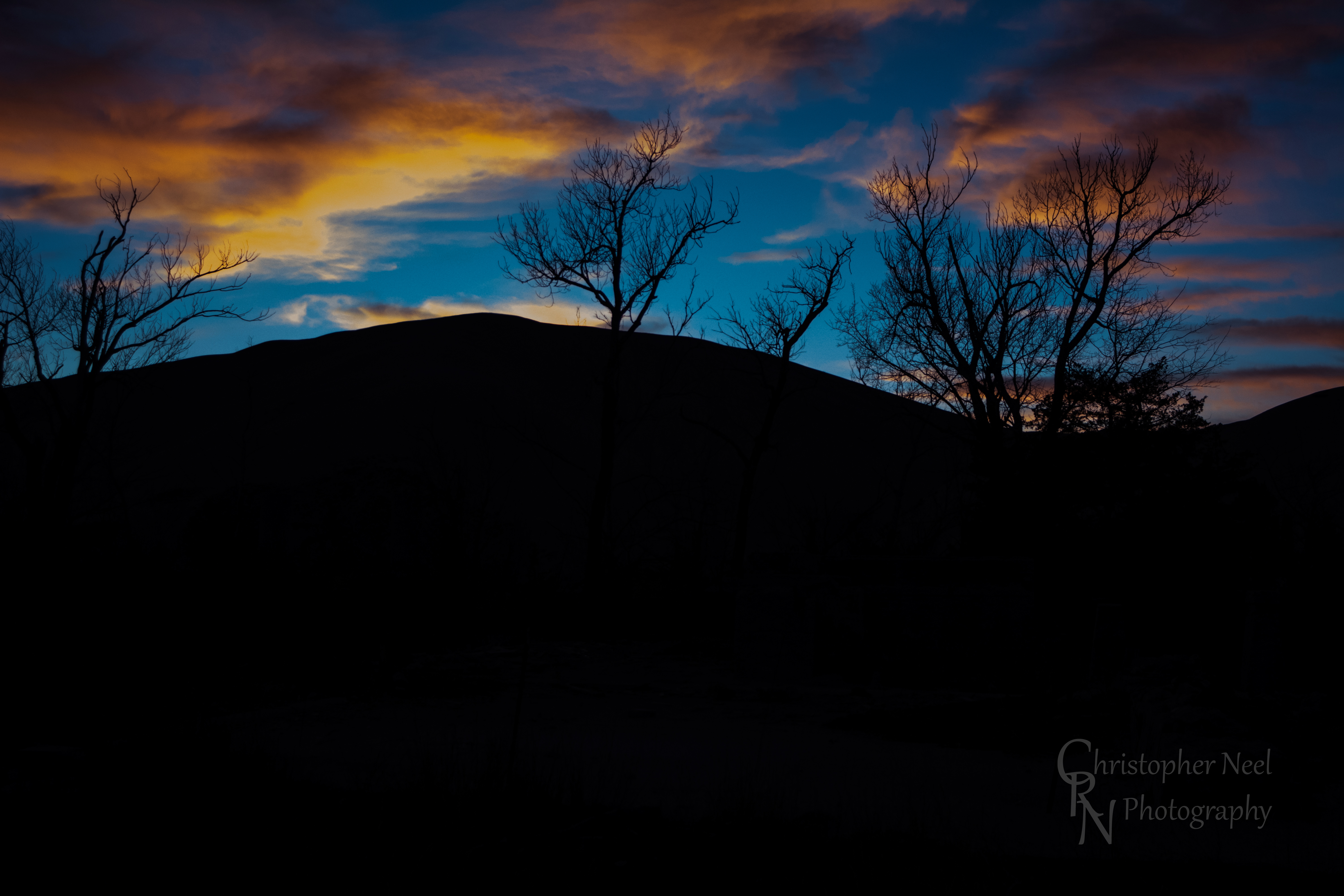
Sunrise & Sunset Photos
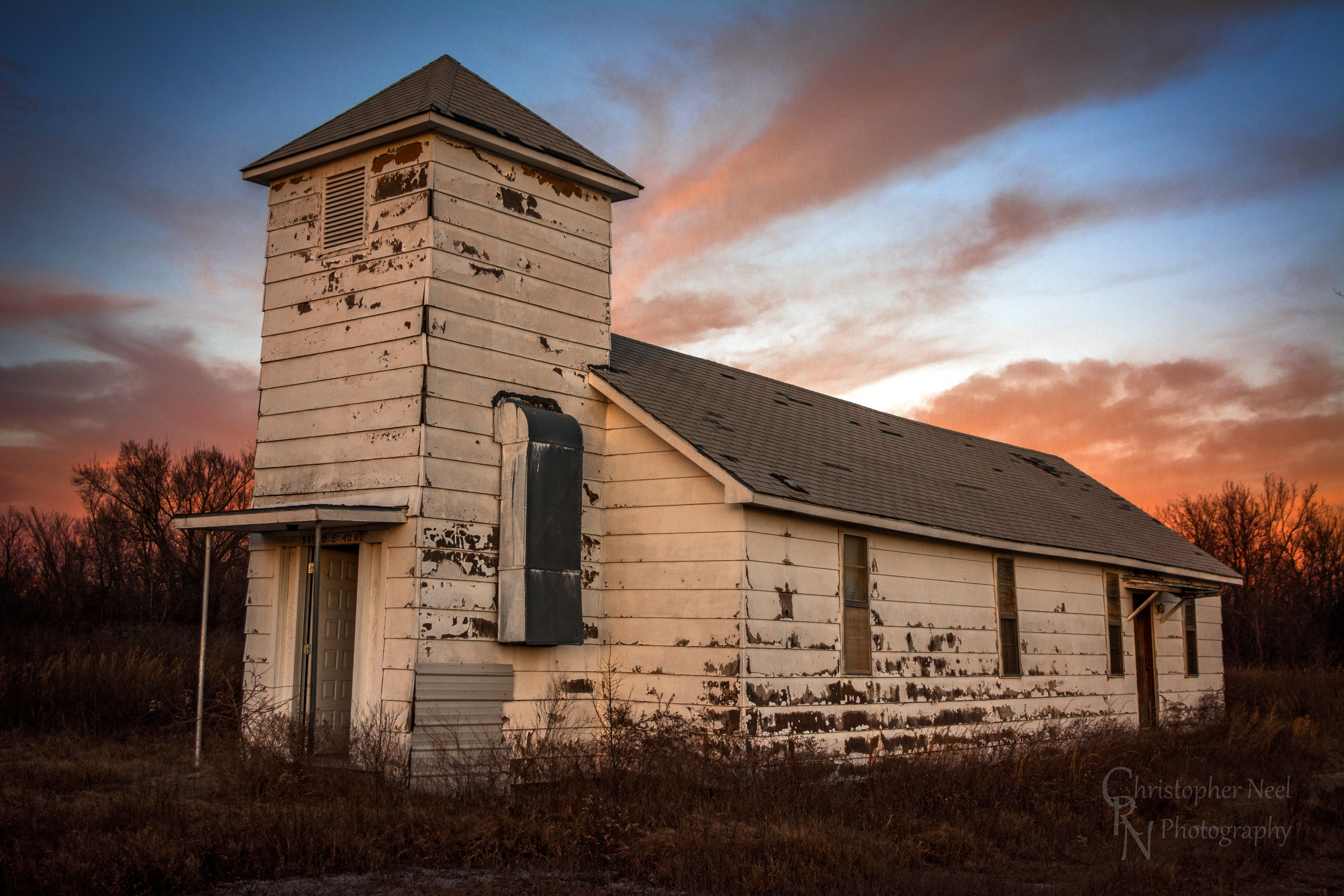
Abandoned Church in Picher, OK - 20150124CRN
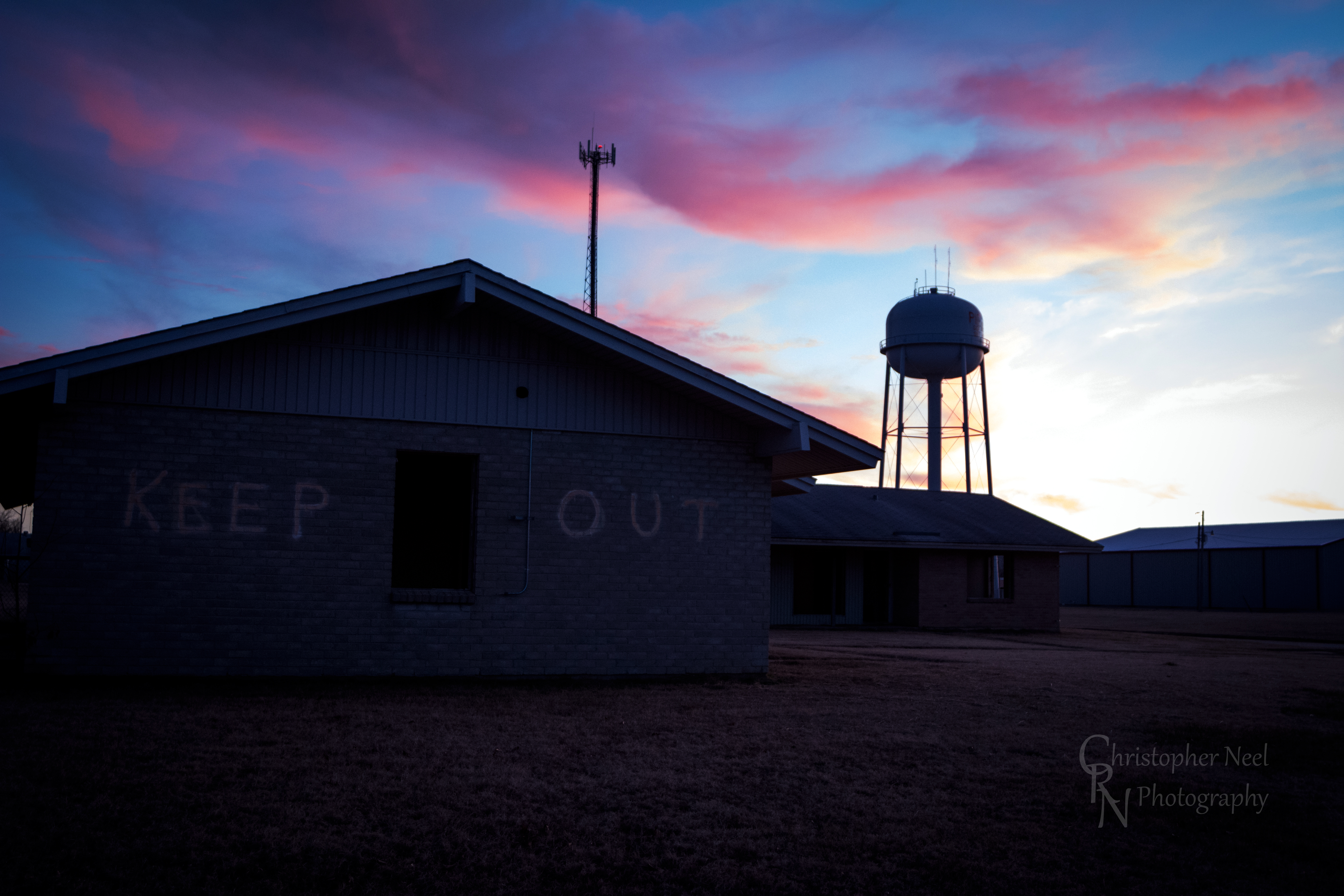
Abandoned Building Keep Out and Sunset in Picher, OK - 20150124CRN

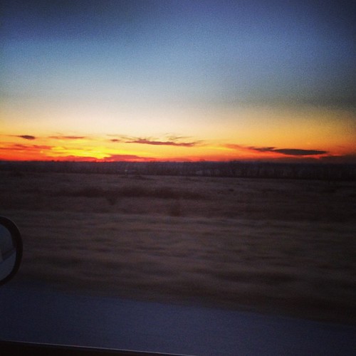
10-06-09 Day 12 - Route 66
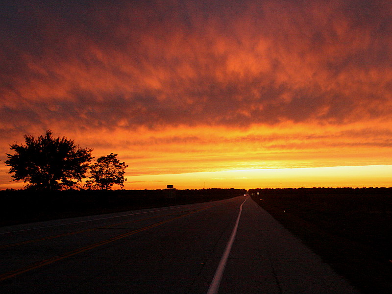
Sunset on Route 66
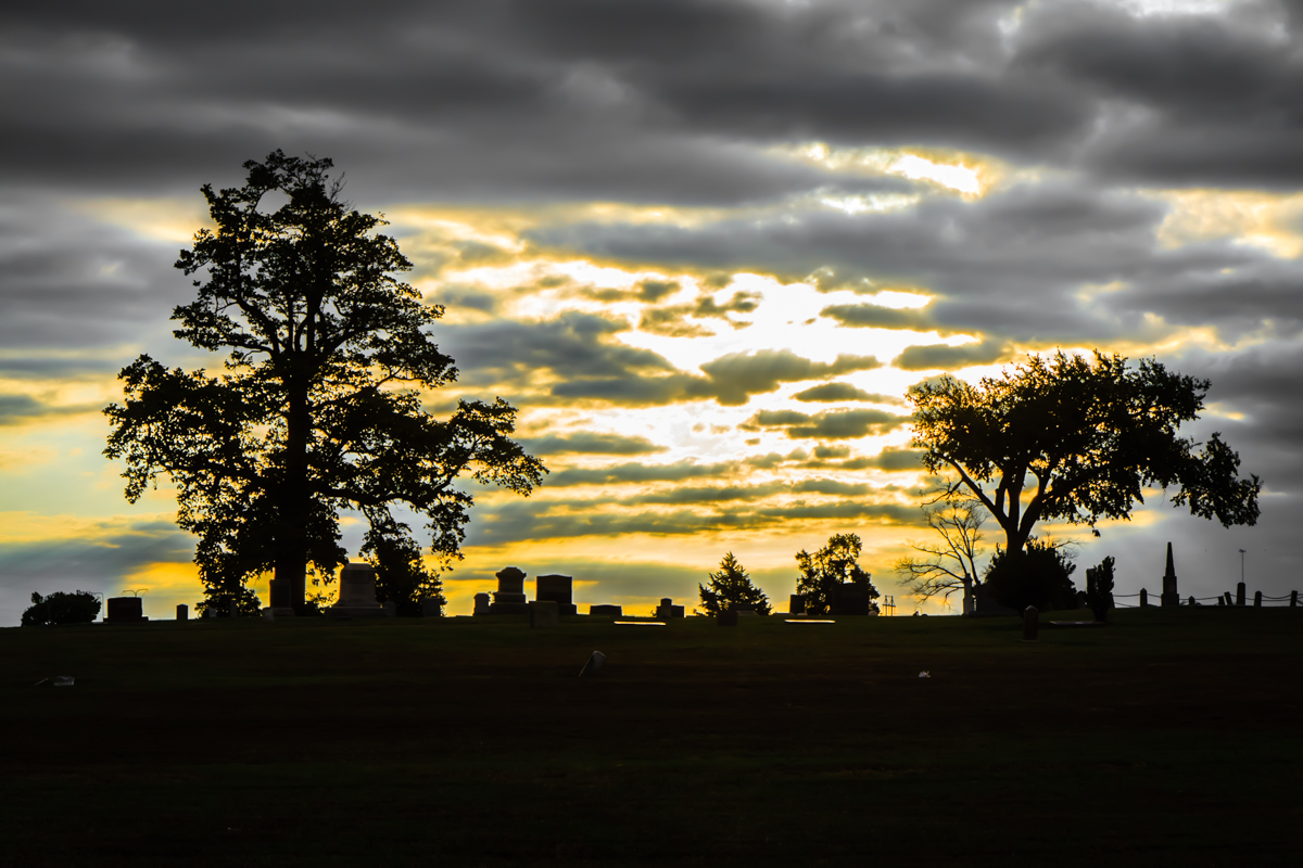
Baxter Springs Cemetery

Indian Paintbrush Profile
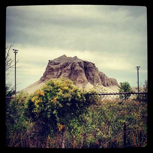
Abandoned 3-2 ballpark & chatpile in Picher, OK, site of the largest toxic waste site in US
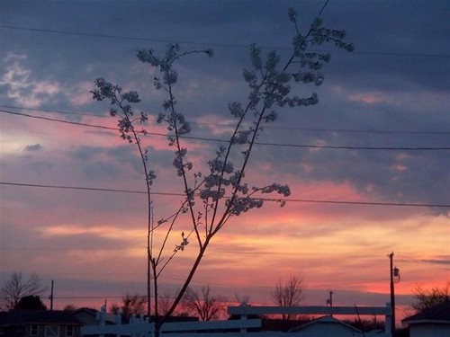
Winter sunsets.
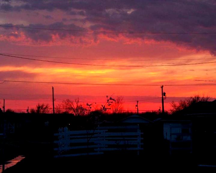
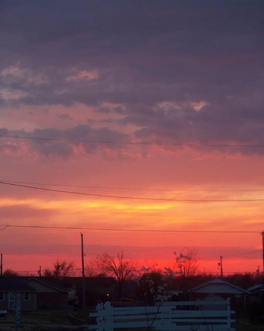
Sky Ablaze

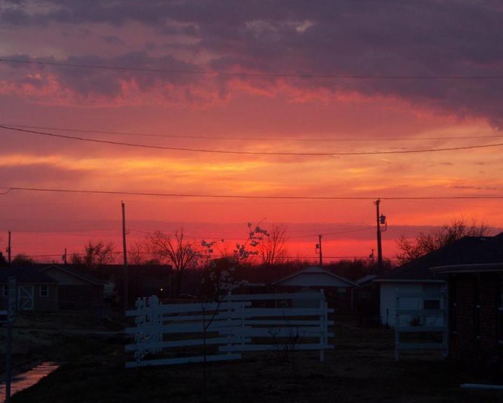
Sudden sunset
Sudden sunset close
Kiss the Sky
Sky Ablaze

10-06-09 Day 12 - Route 66
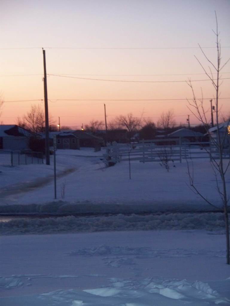
Snow Sunset

10-06-09 Day 12 - Route 66
Sunset in Quapaw, Oklahoma

10-06-09 Day 12 - Route 66
Sunset against a Silhouetted Chat Pile in Picher, OK - 20150124CRN

10-06-09 Day 12 - Route 66
Sunrise
Commerce, OK, USA Map
Search another place
Near Places
Commerce St, Commerce, OK, USA
Sky Harbor Drive, Sky Harbor Dr, Miami, OK, USA
Playland Lanes, 5th Ave NE, Miami, OK, USA
HK Electric, N Main St, Miami, OK, USA
McKinley St, Miami, OK, USA
J St NW, Miami, OK, USA
NEO A&M College, I St NE, Miami, OK, USA
17 G St NE, Miami, OK, USA
Miami, OK, USA
Days Inn by Wyndham Miami, E Steve Owens Blvd, Miami, OK, USA
Neo Medical Center: Grotheer Martin H MD, 10 S Treaty Rd, Miami, OK, USA
Miami Municipal Pool, Miami, OK, USA
Eastgate Blvd, Miami, OK, USA
Quapaw, OK, USA
Virginia St, Quapaw, OK, USA
Spring Valley, KS, USA
W 12th St, Baxter Springs, KS, USA
Baxter Springs Golf & Country Club, Hale Irwin Dr, Baxter Springs, KS, USA
Baxter Springs, KS, USA
U.S. 69, US-69, United States
Recent Searches
- Sunrise Sunset Times of Red Dog Mine, AK, USA
- Sunrise Sunset Times of Am Bahnhof, Am bhf, Borken, Germany
- Sunrise Sunset Times of 4th St E, Sonoma, CA, USA
- Sunrise Sunset Times of Oakland Ave, Williamsport, PA, USA
- Sunrise Sunset Times of Via Roma, Pieranica CR, Italy
- Sunrise Sunset Times of Clock Tower of Dubrovnik, Grad, Dubrovnik, Croatia
- Sunrise Sunset Times of Trelew, Chubut Province, Argentina
- Sunrise Sunset Times of Hartfords Bluff Cir, Mt Pleasant, SC, USA
- Sunrise Sunset Times of Kita Ward, Kumamoto, Japan
- Sunrise Sunset Times of Pingtan Island, Pingtan County, Fuzhou, China