Sunrise Sunset Times of Cloud Creek Pl, Cottonwood, CA, USA
Location: United States > California > Tehama County > Lake California >
Timezone:
America/Los_Angeles
Current Time:
2025-07-10 18:19:11
Longitude:
-122.1992015
Latitude:
40.3706041
Sunrise Today:
05:49:09 AM
Sunset Today:
08:39:44 PM
Daylength Today:
14h 50m 35s
Sunrise Tomorrow:
05:49:53 AM
Sunset Tomorrow:
08:39:15 PM
Daylength Tomorrow:
14h 49m 22s
Year Show All Dates
| Date | Sunrise | Sunset | Daylength |
|---|---|---|---|
| 01/01/2025 | 07:31:47 AM | 04:54:15 PM | 9h 22m 28s |
| 01/02/2025 | 07:31:50 AM | 04:55:08 PM | 9h 23m 18s |
| 01/03/2025 | 07:31:50 AM | 04:56:02 PM | 9h 24m 12s |
| 01/04/2025 | 07:31:48 AM | 04:56:57 PM | 9h 25m 9s |
| 01/05/2025 | 07:31:44 AM | 04:57:54 PM | 9h 26m 10s |
| 01/06/2025 | 07:31:37 AM | 04:58:52 PM | 9h 27m 15s |
| 01/07/2025 | 07:31:28 AM | 04:59:51 PM | 9h 28m 23s |
| 01/08/2025 | 07:31:17 AM | 05:00:52 PM | 9h 29m 35s |
| 01/09/2025 | 07:31:04 AM | 05:01:53 PM | 9h 30m 49s |
| 01/10/2025 | 07:30:49 AM | 05:02:56 PM | 9h 32m 7s |
| 01/11/2025 | 07:30:31 AM | 05:04:00 PM | 9h 33m 29s |
| 01/12/2025 | 07:30:11 AM | 05:05:04 PM | 9h 34m 53s |
| 01/13/2025 | 07:29:49 AM | 05:06:10 PM | 9h 36m 21s |
| 01/14/2025 | 07:29:25 AM | 05:07:16 PM | 9h 37m 51s |
| 01/15/2025 | 07:28:59 AM | 05:08:23 PM | 9h 39m 24s |
| 01/16/2025 | 07:28:30 AM | 05:09:31 PM | 9h 41m 1s |
| 01/17/2025 | 07:28:00 AM | 05:10:39 PM | 9h 42m 39s |
| 01/18/2025 | 07:27:27 AM | 05:11:49 PM | 9h 44m 22s |
| 01/19/2025 | 07:26:52 AM | 05:12:58 PM | 9h 46m 6s |
| 01/20/2025 | 07:26:16 AM | 05:14:08 PM | 9h 47m 52s |
| 01/21/2025 | 07:25:37 AM | 05:15:19 PM | 9h 49m 42s |
| 01/22/2025 | 07:24:56 AM | 05:16:30 PM | 9h 51m 34s |
| 01/23/2025 | 07:24:13 AM | 05:17:42 PM | 9h 53m 29s |
| 01/24/2025 | 07:23:29 AM | 05:18:54 PM | 9h 55m 25s |
| 01/25/2025 | 07:22:42 AM | 05:20:06 PM | 9h 57m 24s |
| 01/26/2025 | 07:21:54 AM | 05:21:18 PM | 9h 59m 24s |
| 01/27/2025 | 07:21:04 AM | 05:22:31 PM | 10h 1m 27s |
| 01/28/2025 | 07:20:11 AM | 05:23:44 PM | 10h 3m 33s |
| 01/29/2025 | 07:19:18 AM | 05:24:57 PM | 10h 5m 39s |
| 01/30/2025 | 07:18:22 AM | 05:26:10 PM | 10h 7m 48s |
| 01/31/2025 | 07:17:25 AM | 05:27:23 PM | 10h 9m 58s |
| 02/01/2025 | 07:16:26 AM | 05:28:36 PM | 10h 12m 10s |
| 02/02/2025 | 07:15:25 AM | 05:29:49 PM | 10h 14m 24s |
| 02/03/2025 | 07:14:23 AM | 05:31:02 PM | 10h 16m 39s |
| 02/04/2025 | 07:13:19 AM | 05:32:16 PM | 10h 18m 57s |
| 02/05/2025 | 07:12:14 AM | 05:33:29 PM | 10h 21m 15s |
| 02/06/2025 | 07:11:07 AM | 05:34:42 PM | 10h 23m 35s |
| 02/07/2025 | 07:09:59 AM | 05:35:54 PM | 10h 25m 55s |
| 02/08/2025 | 07:08:50 AM | 05:37:07 PM | 10h 28m 17s |
| 02/09/2025 | 07:07:39 AM | 05:38:20 PM | 10h 30m 41s |
| 02/10/2025 | 07:06:26 AM | 05:39:32 PM | 10h 33m 6s |
| 02/11/2025 | 07:05:12 AM | 05:40:44 PM | 10h 35m 32s |
| 02/12/2025 | 07:03:58 AM | 05:41:56 PM | 10h 37m 58s |
| 02/13/2025 | 07:02:41 AM | 05:43:08 PM | 10h 40m 27s |
| 02/14/2025 | 07:01:24 AM | 05:44:19 PM | 10h 42m 55s |
| 02/15/2025 | 07:00:05 AM | 05:45:30 PM | 10h 45m 25s |
| 02/16/2025 | 06:58:45 AM | 05:46:41 PM | 10h 47m 56s |
| 02/17/2025 | 06:57:25 AM | 05:47:52 PM | 10h 50m 27s |
| 02/18/2025 | 06:56:03 AM | 05:49:02 PM | 10h 52m 59s |
| 02/19/2025 | 06:54:40 AM | 05:50:12 PM | 10h 55m 32s |
| 02/20/2025 | 06:53:16 AM | 05:51:22 PM | 10h 58m 6s |
| 02/21/2025 | 06:51:51 AM | 05:52:31 PM | 11h 0m 40s |
| 02/22/2025 | 06:50:25 AM | 05:53:41 PM | 11h 3m 16s |
| 02/23/2025 | 06:48:58 AM | 05:54:50 PM | 11h 5m 52s |
| 02/24/2025 | 06:47:31 AM | 05:55:58 PM | 11h 8m 27s |
| 02/25/2025 | 06:46:02 AM | 05:57:06 PM | 11h 11m 4s |
| 02/26/2025 | 06:44:33 AM | 05:58:14 PM | 11h 13m 41s |
| 02/27/2025 | 06:43:03 AM | 05:59:22 PM | 11h 16m 19s |
| 02/28/2025 | 06:41:32 AM | 06:00:29 PM | 11h 18m 57s |
| 03/01/2025 | 06:40:01 AM | 06:01:36 PM | 11h 21m 35s |
| 03/02/2025 | 06:38:29 AM | 06:02:43 PM | 11h 24m 14s |
| 03/03/2025 | 06:36:56 AM | 06:03:50 PM | 11h 26m 54s |
| 03/04/2025 | 06:35:23 AM | 06:04:56 PM | 11h 29m 33s |
| 03/05/2025 | 06:33:49 AM | 06:06:02 PM | 11h 32m 13s |
| 03/06/2025 | 06:32:15 AM | 06:07:08 PM | 11h 34m 53s |
| 03/07/2025 | 06:30:40 AM | 06:08:13 PM | 11h 37m 33s |
| 03/08/2025 | 06:29:04 AM | 06:09:18 PM | 11h 40m 14s |
| 03/09/2025 | 07:27:33 AM | 07:10:20 PM | 11h 42m 47s |
| 03/10/2025 | 07:25:57 AM | 07:11:25 PM | 11h 45m 28s |
| 03/11/2025 | 07:24:20 AM | 07:12:29 PM | 11h 48m 9s |
| 03/12/2025 | 07:22:43 AM | 07:13:34 PM | 11h 50m 51s |
| 03/13/2025 | 07:21:06 AM | 07:14:38 PM | 11h 53m 32s |
| 03/14/2025 | 07:19:29 AM | 07:15:41 PM | 11h 56m 12s |
| 03/15/2025 | 07:17:51 AM | 07:16:45 PM | 11h 58m 54s |
| 03/16/2025 | 07:16:13 AM | 07:17:48 PM | 12h 1m 35s |
| 03/17/2025 | 07:14:35 AM | 07:18:52 PM | 12h 4m 17s |
| 03/18/2025 | 07:12:57 AM | 07:19:55 PM | 12h 6m 58s |
| 03/19/2025 | 07:11:18 AM | 07:20:58 PM | 12h 9m 40s |
| 03/20/2025 | 07:09:40 AM | 07:22:00 PM | 12h 12m 20s |
| 03/21/2025 | 07:08:01 AM | 07:23:03 PM | 12h 15m 2s |
| 03/22/2025 | 07:06:23 AM | 07:24:06 PM | 12h 17m 43s |
| 03/23/2025 | 07:04:44 AM | 07:25:08 PM | 12h 20m 24s |
| 03/24/2025 | 07:03:06 AM | 07:26:10 PM | 12h 23m 4s |
| 03/25/2025 | 07:01:27 AM | 07:27:13 PM | 12h 25m 46s |
| 03/26/2025 | 06:59:49 AM | 07:28:15 PM | 12h 28m 26s |
| 03/27/2025 | 06:58:11 AM | 07:29:17 PM | 12h 31m 6s |
| 03/28/2025 | 06:56:33 AM | 07:30:19 PM | 12h 33m 46s |
| 03/29/2025 | 06:54:55 AM | 07:31:21 PM | 12h 36m 26s |
| 03/30/2025 | 06:53:17 AM | 07:32:23 PM | 12h 39m 6s |
| 03/31/2025 | 06:51:40 AM | 07:33:24 PM | 12h 41m 44s |
| 04/01/2025 | 06:50:03 AM | 07:34:26 PM | 12h 44m 23s |
| 04/02/2025 | 06:48:26 AM | 07:35:28 PM | 12h 47m 2s |
| 04/03/2025 | 06:46:49 AM | 07:36:30 PM | 12h 49m 41s |
| 04/04/2025 | 06:45:13 AM | 07:37:32 PM | 12h 52m 19s |
| 04/05/2025 | 06:43:37 AM | 07:38:33 PM | 12h 54m 56s |
| 04/06/2025 | 06:42:02 AM | 07:39:35 PM | 12h 57m 33s |
| 04/07/2025 | 06:40:27 AM | 07:40:37 PM | 13h 0m 10s |
| 04/08/2025 | 06:38:53 AM | 07:41:39 PM | 13h 2m 46s |
| 04/09/2025 | 06:37:19 AM | 07:42:41 PM | 13h 5m 22s |
| 04/10/2025 | 06:35:45 AM | 07:43:42 PM | 13h 7m 57s |
| 04/11/2025 | 06:34:13 AM | 07:44:44 PM | 13h 10m 31s |
| 04/12/2025 | 06:32:41 AM | 07:45:46 PM | 13h 13m 5s |
| 04/13/2025 | 06:31:09 AM | 07:46:48 PM | 13h 15m 39s |
| 04/14/2025 | 06:29:38 AM | 07:47:50 PM | 13h 18m 12s |
| 04/15/2025 | 06:28:08 AM | 07:48:52 PM | 13h 20m 44s |
| 04/16/2025 | 06:26:39 AM | 07:49:54 PM | 13h 23m 15s |
| 04/17/2025 | 06:25:10 AM | 07:50:56 PM | 13h 25m 46s |
| 04/18/2025 | 06:23:42 AM | 07:51:58 PM | 13h 28m 16s |
| 04/19/2025 | 06:22:15 AM | 07:53:00 PM | 13h 30m 45s |
| 04/20/2025 | 06:20:49 AM | 07:54:02 PM | 13h 33m 13s |
| 04/21/2025 | 06:19:24 AM | 07:55:04 PM | 13h 35m 40s |
| 04/22/2025 | 06:18:00 AM | 07:56:06 PM | 13h 38m 6s |
| 04/23/2025 | 06:16:36 AM | 07:57:08 PM | 13h 40m 32s |
| 04/24/2025 | 06:15:14 AM | 07:58:10 PM | 13h 42m 56s |
| 04/25/2025 | 06:13:52 AM | 07:59:11 PM | 13h 45m 19s |
| 04/26/2025 | 06:12:32 AM | 08:00:13 PM | 13h 47m 41s |
| 04/27/2025 | 06:11:13 AM | 08:01:15 PM | 13h 50m 2s |
| 04/28/2025 | 06:09:55 AM | 08:02:17 PM | 13h 52m 22s |
| 04/29/2025 | 06:08:38 AM | 08:03:18 PM | 13h 54m 40s |
| 04/30/2025 | 06:07:22 AM | 08:04:20 PM | 13h 56m 58s |
| 05/01/2025 | 06:06:07 AM | 08:05:21 PM | 13h 59m 14s |
| 05/02/2025 | 06:04:54 AM | 08:06:22 PM | 14h 1m 28s |
| 05/03/2025 | 06:03:42 AM | 08:07:23 PM | 14h 3m 41s |
| 05/04/2025 | 06:02:31 AM | 08:08:24 PM | 14h 5m 53s |
| 05/05/2025 | 06:01:22 AM | 08:09:25 PM | 14h 8m 3s |
| 05/06/2025 | 06:00:14 AM | 08:10:25 PM | 14h 10m 11s |
| 05/07/2025 | 05:59:07 AM | 08:11:26 PM | 14h 12m 19s |
| 05/08/2025 | 05:58:02 AM | 08:12:25 PM | 14h 14m 23s |
| 05/09/2025 | 05:56:58 AM | 08:13:25 PM | 14h 16m 27s |
| 05/10/2025 | 05:55:56 AM | 08:14:24 PM | 14h 18m 28s |
| 05/11/2025 | 05:54:55 AM | 08:15:23 PM | 14h 20m 28s |
| 05/12/2025 | 05:53:56 AM | 08:16:21 PM | 14h 22m 25s |
| 05/13/2025 | 05:52:58 AM | 08:17:19 PM | 14h 24m 21s |
| 05/14/2025 | 05:52:02 AM | 08:18:17 PM | 14h 26m 15s |
| 05/15/2025 | 05:51:08 AM | 08:19:14 PM | 14h 28m 6s |
| 05/16/2025 | 05:50:15 AM | 08:20:11 PM | 14h 29m 56s |
| 05/17/2025 | 05:49:24 AM | 08:21:07 PM | 14h 31m 43s |
| 05/18/2025 | 05:48:34 AM | 08:22:02 PM | 14h 33m 28s |
| 05/19/2025 | 05:47:47 AM | 08:22:57 PM | 14h 35m 10s |
| 05/20/2025 | 05:47:01 AM | 08:23:51 PM | 14h 36m 50s |
| 05/21/2025 | 05:46:17 AM | 08:24:44 PM | 14h 38m 27s |
| 05/22/2025 | 05:45:34 AM | 08:25:36 PM | 14h 40m 2s |
| 05/23/2025 | 05:44:54 AM | 08:26:28 PM | 14h 41m 34s |
| 05/24/2025 | 05:44:15 AM | 08:27:19 PM | 14h 43m 4s |
| 05/25/2025 | 05:43:38 AM | 08:28:09 PM | 14h 44m 31s |
| 05/26/2025 | 05:43:03 AM | 08:28:58 PM | 14h 45m 55s |
| 05/27/2025 | 05:42:30 AM | 08:29:46 PM | 14h 47m 16s |
| 05/28/2025 | 05:41:59 AM | 08:30:34 PM | 14h 48m 35s |
| 05/29/2025 | 05:41:30 AM | 08:31:20 PM | 14h 49m 50s |
| 05/30/2025 | 05:41:02 AM | 08:32:05 PM | 14h 51m 3s |
| 05/31/2025 | 05:40:37 AM | 08:32:48 PM | 14h 52m 11s |
| 06/01/2025 | 05:40:13 AM | 08:33:31 PM | 14h 53m 18s |
| 06/02/2025 | 05:39:52 AM | 08:34:13 PM | 14h 54m 21s |
| 06/03/2025 | 05:39:32 AM | 08:34:53 PM | 14h 55m 21s |
| 06/04/2025 | 05:39:15 AM | 08:35:32 PM | 14h 56m 17s |
| 06/05/2025 | 05:38:59 AM | 08:36:09 PM | 14h 57m 10s |
| 06/06/2025 | 05:38:46 AM | 08:36:45 PM | 14h 57m 59s |
| 06/07/2025 | 05:38:34 AM | 08:37:20 PM | 14h 58m 46s |
| 06/08/2025 | 05:38:24 AM | 08:37:53 PM | 14h 59m 29s |
| 06/09/2025 | 05:38:16 AM | 08:38:25 PM | 15h 0m 9s |
| 06/10/2025 | 05:38:11 AM | 08:38:55 PM | 15h 0m 44s |
| 06/11/2025 | 05:38:07 AM | 08:39:24 PM | 15h 1m 17s |
| 06/12/2025 | 05:38:05 AM | 08:39:51 PM | 15h 1m 46s |
| 06/13/2025 | 05:38:05 AM | 08:40:16 PM | 15h 2m 11s |
| 06/14/2025 | 05:38:07 AM | 08:40:40 PM | 15h 2m 33s |
| 06/15/2025 | 05:38:11 AM | 08:41:02 PM | 15h 2m 51s |
| 06/16/2025 | 05:38:17 AM | 08:41:22 PM | 15h 3m 5s |
| 06/17/2025 | 05:38:24 AM | 08:41:41 PM | 15h 3m 17s |
| 06/18/2025 | 05:38:34 AM | 08:41:58 PM | 15h 3m 24s |
| 06/19/2025 | 05:38:45 AM | 08:42:12 PM | 15h 3m 27s |
| 06/20/2025 | 05:38:58 AM | 08:42:25 PM | 15h 3m 27s |
| 06/21/2025 | 05:39:13 AM | 08:42:37 PM | 15h 3m 24s |
| 06/22/2025 | 05:39:30 AM | 08:42:46 PM | 15h 3m 16s |
| 06/23/2025 | 05:39:48 AM | 08:42:53 PM | 15h 3m 5s |
| 06/24/2025 | 05:40:08 AM | 08:42:59 PM | 15h 2m 51s |
| 06/25/2025 | 05:40:30 AM | 08:43:02 PM | 15h 2m 32s |
| 06/26/2025 | 05:40:53 AM | 08:43:03 PM | 15h 2m 10s |
| 06/27/2025 | 05:41:18 AM | 08:43:03 PM | 15h 1m 45s |
| 06/28/2025 | 05:41:45 AM | 08:43:00 PM | 15h 1m 15s |
| 06/29/2025 | 05:42:13 AM | 08:42:56 PM | 15h 0m 43s |
| 06/30/2025 | 05:42:43 AM | 08:42:49 PM | 15h 0m 6s |
| 07/01/2025 | 05:43:14 AM | 08:42:41 PM | 14h 59m 27s |
| 07/02/2025 | 05:43:46 AM | 08:42:31 PM | 14h 58m 45s |
| 07/03/2025 | 05:44:20 AM | 08:42:18 PM | 14h 57m 58s |
| 07/04/2025 | 05:44:55 AM | 08:42:03 PM | 14h 57m 8s |
| 07/05/2025 | 05:45:32 AM | 08:41:47 PM | 14h 56m 15s |
| 07/06/2025 | 05:46:10 AM | 08:41:28 PM | 14h 55m 18s |
| 07/07/2025 | 05:46:49 AM | 08:41:08 PM | 14h 54m 19s |
| 07/08/2025 | 05:47:29 AM | 08:40:45 PM | 14h 53m 16s |
| 07/09/2025 | 05:48:10 AM | 08:40:21 PM | 14h 52m 11s |
| 07/10/2025 | 05:48:53 AM | 08:39:54 PM | 14h 51m 1s |
| 07/11/2025 | 05:49:36 AM | 08:39:26 PM | 14h 49m 50s |
| 07/12/2025 | 05:50:21 AM | 08:38:55 PM | 14h 48m 34s |
| 07/13/2025 | 05:51:06 AM | 08:38:23 PM | 14h 47m 17s |
| 07/14/2025 | 05:51:52 AM | 08:37:49 PM | 14h 45m 57s |
| 07/15/2025 | 05:52:40 AM | 08:37:12 PM | 14h 44m 32s |
| 07/16/2025 | 05:53:28 AM | 08:36:34 PM | 14h 43m 6s |
| 07/17/2025 | 05:54:17 AM | 08:35:54 PM | 14h 41m 37s |
| 07/18/2025 | 05:55:07 AM | 08:35:12 PM | 14h 40m 5s |
| 07/19/2025 | 05:55:57 AM | 08:34:29 PM | 14h 38m 32s |
| 07/20/2025 | 05:56:48 AM | 08:33:43 PM | 14h 36m 55s |
| 07/21/2025 | 05:57:40 AM | 08:32:56 PM | 14h 35m 16s |
| 07/22/2025 | 05:58:32 AM | 08:32:07 PM | 14h 33m 35s |
| 07/23/2025 | 05:59:25 AM | 08:31:16 PM | 14h 31m 51s |
| 07/24/2025 | 06:00:19 AM | 08:30:24 PM | 14h 30m 5s |
| 07/25/2025 | 06:01:13 AM | 08:29:29 PM | 14h 28m 16s |
| 07/26/2025 | 06:02:07 AM | 08:28:33 PM | 14h 26m 26s |
| 07/27/2025 | 06:03:02 AM | 08:27:36 PM | 14h 24m 34s |
| 07/28/2025 | 06:03:57 AM | 08:26:37 PM | 14h 22m 40s |
| 07/29/2025 | 06:04:53 AM | 08:25:36 PM | 14h 20m 43s |
| 07/30/2025 | 06:05:49 AM | 08:24:34 PM | 14h 18m 45s |
| 07/31/2025 | 06:06:45 AM | 08:23:30 PM | 14h 16m 45s |
| 08/01/2025 | 06:07:41 AM | 08:22:25 PM | 14h 14m 44s |
| 08/02/2025 | 06:08:38 AM | 08:21:18 PM | 14h 12m 40s |
| 08/03/2025 | 06:09:35 AM | 08:20:10 PM | 14h 10m 35s |
| 08/04/2025 | 06:10:32 AM | 08:19:00 PM | 14h 8m 28s |
| 08/05/2025 | 06:11:30 AM | 08:17:49 PM | 14h 6m 19s |
| 08/06/2025 | 06:12:27 AM | 08:16:37 PM | 14h 4m 10s |
| 08/07/2025 | 06:13:25 AM | 08:15:24 PM | 14h 1m 59s |
| 08/08/2025 | 06:14:23 AM | 08:14:09 PM | 13h 59m 46s |
| 08/09/2025 | 06:15:21 AM | 08:12:52 PM | 13h 57m 31s |
| 08/10/2025 | 06:16:19 AM | 08:11:35 PM | 13h 55m 16s |
| 08/11/2025 | 06:17:17 AM | 08:10:17 PM | 13h 53m 0s |
| 08/12/2025 | 06:18:15 AM | 08:08:57 PM | 13h 50m 42s |
| 08/13/2025 | 06:19:13 AM | 08:07:36 PM | 13h 48m 23s |
| 08/14/2025 | 06:20:11 AM | 08:06:14 PM | 13h 46m 3s |
| 08/15/2025 | 06:21:09 AM | 08:04:51 PM | 13h 43m 42s |
| 08/16/2025 | 06:22:08 AM | 08:03:27 PM | 13h 41m 19s |
| 08/17/2025 | 06:23:06 AM | 08:02:02 PM | 13h 38m 56s |
| 08/18/2025 | 06:24:04 AM | 08:00:36 PM | 13h 36m 32s |
| 08/19/2025 | 06:25:02 AM | 07:59:09 PM | 13h 34m 7s |
| 08/20/2025 | 06:26:00 AM | 07:57:42 PM | 13h 31m 42s |
| 08/21/2025 | 06:26:58 AM | 07:56:13 PM | 13h 29m 15s |
| 08/22/2025 | 06:27:56 AM | 07:54:43 PM | 13h 26m 47s |
| 08/23/2025 | 06:28:54 AM | 07:53:13 PM | 13h 24m 19s |
| 08/24/2025 | 06:29:52 AM | 07:51:42 PM | 13h 21m 50s |
| 08/25/2025 | 06:30:50 AM | 07:50:10 PM | 13h 19m 20s |
| 08/26/2025 | 06:31:47 AM | 07:48:38 PM | 13h 16m 51s |
| 08/27/2025 | 06:32:45 AM | 07:47:04 PM | 13h 14m 19s |
| 08/28/2025 | 06:33:43 AM | 07:45:31 PM | 13h 11m 48s |
| 08/29/2025 | 06:34:40 AM | 07:43:56 PM | 13h 9m 16s |
| 08/30/2025 | 06:35:38 AM | 07:42:21 PM | 13h 6m 43s |
| 08/31/2025 | 06:36:35 AM | 07:40:45 PM | 13h 4m 10s |
| 09/01/2025 | 06:37:33 AM | 07:39:09 PM | 13h 1m 36s |
| 09/02/2025 | 06:38:30 AM | 07:37:32 PM | 12h 59m 2s |
| 09/03/2025 | 06:39:28 AM | 07:35:55 PM | 12h 56m 27s |
| 09/04/2025 | 06:40:25 AM | 07:34:18 PM | 12h 53m 53s |
| 09/05/2025 | 06:41:22 AM | 07:32:40 PM | 12h 51m 18s |
| 09/06/2025 | 06:42:20 AM | 07:31:01 PM | 12h 48m 41s |
| 09/07/2025 | 06:43:17 AM | 07:29:23 PM | 12h 46m 6s |
| 09/08/2025 | 06:44:15 AM | 07:27:43 PM | 12h 43m 28s |
| 09/09/2025 | 06:45:12 AM | 07:26:04 PM | 12h 40m 52s |
| 09/10/2025 | 06:46:09 AM | 07:24:25 PM | 12h 38m 16s |
| 09/11/2025 | 06:47:07 AM | 07:22:45 PM | 12h 35m 38s |
| 09/12/2025 | 06:48:04 AM | 07:21:05 PM | 12h 33m 1s |
| 09/13/2025 | 06:49:02 AM | 07:19:24 PM | 12h 30m 22s |
| 09/14/2025 | 06:49:59 AM | 07:17:44 PM | 12h 27m 45s |
| 09/15/2025 | 06:50:57 AM | 07:16:04 PM | 12h 25m 7s |
| 09/16/2025 | 06:51:54 AM | 07:14:23 PM | 12h 22m 29s |
| 09/17/2025 | 06:52:52 AM | 07:12:42 PM | 12h 19m 50s |
| 09/18/2025 | 06:53:50 AM | 07:11:02 PM | 12h 17m 12s |
| 09/19/2025 | 06:54:48 AM | 07:09:21 PM | 12h 14m 33s |
| 09/20/2025 | 06:55:46 AM | 07:07:40 PM | 12h 11m 54s |
| 09/21/2025 | 06:56:44 AM | 07:06:00 PM | 12h 9m 16s |
| 09/22/2025 | 06:57:42 AM | 07:04:19 PM | 12h 6m 37s |
| 09/23/2025 | 06:58:41 AM | 07:02:39 PM | 12h 3m 58s |
| 09/24/2025 | 06:59:40 AM | 07:00:59 PM | 12h 1m 19s |
| 09/25/2025 | 07:00:39 AM | 06:59:19 PM | 11h 58m 40s |
| 09/26/2025 | 07:01:38 AM | 06:57:39 PM | 11h 56m 1s |
| 09/27/2025 | 07:02:37 AM | 06:56:00 PM | 11h 53m 23s |
| 09/28/2025 | 07:03:36 AM | 06:54:20 PM | 11h 50m 44s |
| 09/29/2025 | 07:04:36 AM | 06:52:41 PM | 11h 48m 5s |
| 09/30/2025 | 07:05:36 AM | 06:51:03 PM | 11h 45m 27s |
| 10/01/2025 | 07:06:36 AM | 06:49:24 PM | 11h 42m 48s |
| 10/02/2025 | 07:07:36 AM | 06:47:47 PM | 11h 40m 11s |
| 10/03/2025 | 07:08:37 AM | 06:46:09 PM | 11h 37m 32s |
| 10/04/2025 | 07:09:38 AM | 06:44:32 PM | 11h 34m 54s |
| 10/05/2025 | 07:10:39 AM | 06:42:56 PM | 11h 32m 17s |
| 10/06/2025 | 07:11:40 AM | 06:41:20 PM | 11h 29m 40s |
| 10/07/2025 | 07:12:42 AM | 06:39:44 PM | 11h 27m 2s |
| 10/08/2025 | 07:13:44 AM | 06:38:09 PM | 11h 24m 25s |
| 10/09/2025 | 07:14:46 AM | 06:36:35 PM | 11h 21m 49s |
| 10/10/2025 | 07:15:49 AM | 06:35:02 PM | 11h 19m 13s |
| 10/11/2025 | 07:16:52 AM | 06:33:29 PM | 11h 16m 37s |
| 10/12/2025 | 07:17:55 AM | 06:31:57 PM | 11h 14m 2s |
| 10/13/2025 | 07:18:59 AM | 06:30:25 PM | 11h 11m 26s |
| 10/14/2025 | 07:20:03 AM | 06:28:55 PM | 11h 8m 52s |
| 10/15/2025 | 07:21:07 AM | 06:27:25 PM | 11h 6m 18s |
| 10/16/2025 | 07:22:12 AM | 06:25:56 PM | 11h 3m 44s |
| 10/17/2025 | 07:23:16 AM | 06:24:28 PM | 11h 1m 12s |
| 10/18/2025 | 07:24:22 AM | 06:23:00 PM | 10h 58m 38s |
| 10/19/2025 | 07:25:27 AM | 06:21:34 PM | 10h 56m 7s |
| 10/20/2025 | 07:26:33 AM | 06:20:09 PM | 10h 53m 36s |
| 10/21/2025 | 07:27:39 AM | 06:18:45 PM | 10h 51m 6s |
| 10/22/2025 | 07:28:46 AM | 06:17:21 PM | 10h 48m 35s |
| 10/23/2025 | 07:29:53 AM | 06:15:59 PM | 10h 46m 6s |
| 10/24/2025 | 07:31:00 AM | 06:14:38 PM | 10h 43m 38s |
| 10/25/2025 | 07:32:07 AM | 06:13:19 PM | 10h 41m 12s |
| 10/26/2025 | 07:33:15 AM | 06:12:00 PM | 10h 38m 45s |
| 10/27/2025 | 07:34:23 AM | 06:10:43 PM | 10h 36m 20s |
| 10/28/2025 | 07:35:31 AM | 06:09:26 PM | 10h 33m 55s |
| 10/29/2025 | 07:36:40 AM | 06:08:12 PM | 10h 31m 32s |
| 10/30/2025 | 07:37:48 AM | 06:06:58 PM | 10h 29m 10s |
| 10/31/2025 | 07:38:57 AM | 06:05:46 PM | 10h 26m 49s |
| 11/01/2025 | 07:40:06 AM | 06:04:35 PM | 10h 24m 29s |
| 11/02/2025 | 06:41:19 AM | 05:03:23 PM | 10h 22m 4s |
| 11/03/2025 | 06:42:28 AM | 05:02:15 PM | 10h 19m 47s |
| 11/04/2025 | 06:43:38 AM | 05:01:09 PM | 10h 17m 31s |
| 11/05/2025 | 06:44:48 AM | 05:00:04 PM | 10h 15m 16s |
| 11/06/2025 | 06:45:57 AM | 04:59:01 PM | 10h 13m 4s |
| 11/07/2025 | 06:47:07 AM | 04:58:00 PM | 10h 10m 53s |
| 11/08/2025 | 06:48:17 AM | 04:57:00 PM | 10h 8m 43s |
| 11/09/2025 | 06:49:27 AM | 04:56:02 PM | 10h 6m 35s |
| 11/10/2025 | 06:50:37 AM | 04:55:06 PM | 10h 4m 29s |
| 11/11/2025 | 06:51:47 AM | 04:54:11 PM | 10h 2m 24s |
| 11/12/2025 | 06:52:57 AM | 04:53:18 PM | 10h 0m 21s |
| 11/13/2025 | 06:54:06 AM | 04:52:27 PM | 9h 58m 21s |
| 11/14/2025 | 06:55:16 AM | 04:51:38 PM | 9h 56m 22s |
| 11/15/2025 | 06:56:25 AM | 04:50:51 PM | 9h 54m 26s |
| 11/16/2025 | 06:57:34 AM | 04:50:05 PM | 9h 52m 31s |
| 11/17/2025 | 06:58:43 AM | 04:49:22 PM | 9h 50m 39s |
| 11/18/2025 | 06:59:51 AM | 04:48:40 PM | 9h 48m 49s |
| 11/19/2025 | 07:00:59 AM | 04:48:01 PM | 9h 47m 2s |
| 11/20/2025 | 07:02:07 AM | 04:47:24 PM | 9h 45m 17s |
| 11/21/2025 | 07:03:14 AM | 04:46:48 PM | 9h 43m 34s |
| 11/22/2025 | 07:04:21 AM | 04:46:15 PM | 9h 41m 54s |
| 11/23/2025 | 07:05:27 AM | 04:45:44 PM | 9h 40m 17s |
| 11/24/2025 | 07:06:32 AM | 04:45:15 PM | 9h 38m 43s |
| 11/25/2025 | 07:07:37 AM | 04:44:48 PM | 9h 37m 11s |
| 11/26/2025 | 07:08:41 AM | 04:44:24 PM | 9h 35m 43s |
| 11/27/2025 | 07:09:44 AM | 04:44:01 PM | 9h 34m 17s |
| 11/28/2025 | 07:10:46 AM | 04:43:41 PM | 9h 32m 55s |
| 11/29/2025 | 07:11:48 AM | 04:43:23 PM | 9h 31m 35s |
| 11/30/2025 | 07:12:48 AM | 04:43:07 PM | 9h 30m 19s |
| 12/01/2025 | 07:13:48 AM | 04:42:54 PM | 9h 29m 6s |
| 12/02/2025 | 07:14:47 AM | 04:42:43 PM | 9h 27m 56s |
| 12/03/2025 | 07:15:44 AM | 04:42:34 PM | 9h 26m 50s |
| 12/04/2025 | 07:16:40 AM | 04:42:27 PM | 9h 25m 47s |
| 12/05/2025 | 07:17:35 AM | 04:42:23 PM | 9h 24m 48s |
| 12/06/2025 | 07:18:29 AM | 04:42:21 PM | 9h 23m 52s |
| 12/07/2025 | 07:19:22 AM | 04:42:21 PM | 9h 22m 59s |
| 12/08/2025 | 07:20:13 AM | 04:42:23 PM | 9h 22m 10s |
| 12/09/2025 | 07:21:02 AM | 04:42:28 PM | 9h 21m 26s |
| 12/10/2025 | 07:21:50 AM | 04:42:35 PM | 9h 20m 45s |
| 12/11/2025 | 07:22:37 AM | 04:42:45 PM | 9h 20m 8s |
| 12/12/2025 | 07:23:22 AM | 04:42:56 PM | 9h 19m 34s |
| 12/13/2025 | 07:24:06 AM | 04:43:10 PM | 9h 19m 4s |
| 12/14/2025 | 07:24:47 AM | 04:43:26 PM | 9h 18m 39s |
| 12/15/2025 | 07:25:27 AM | 04:43:44 PM | 9h 18m 17s |
| 12/16/2025 | 07:26:06 AM | 04:44:05 PM | 9h 17m 59s |
| 12/17/2025 | 07:26:42 AM | 04:44:27 PM | 9h 17m 45s |
| 12/18/2025 | 07:27:16 AM | 04:44:52 PM | 9h 17m 36s |
| 12/19/2025 | 07:27:49 AM | 04:45:19 PM | 9h 17m 30s |
| 12/20/2025 | 07:28:20 AM | 04:45:48 PM | 9h 17m 28s |
| 12/21/2025 | 07:28:49 AM | 04:46:19 PM | 9h 17m 30s |
| 12/22/2025 | 07:29:15 AM | 04:46:52 PM | 9h 17m 37s |
| 12/23/2025 | 07:29:40 AM | 04:47:27 PM | 9h 17m 47s |
| 12/24/2025 | 07:30:03 AM | 04:48:03 PM | 9h 18m 0s |
| 12/25/2025 | 07:30:23 AM | 04:48:42 PM | 9h 18m 19s |
| 12/26/2025 | 07:30:41 AM | 04:49:23 PM | 9h 18m 42s |
| 12/27/2025 | 07:30:58 AM | 04:50:05 PM | 9h 19m 7s |
| 12/28/2025 | 07:31:12 AM | 04:50:49 PM | 9h 19m 37s |
| 12/29/2025 | 07:31:24 AM | 04:51:35 PM | 9h 20m 11s |
| 12/30/2025 | 07:31:33 AM | 04:52:23 PM | 9h 20m 50s |
| 12/31/2025 | 07:31:41 AM | 04:53:12 PM | 9h 21m 31s |
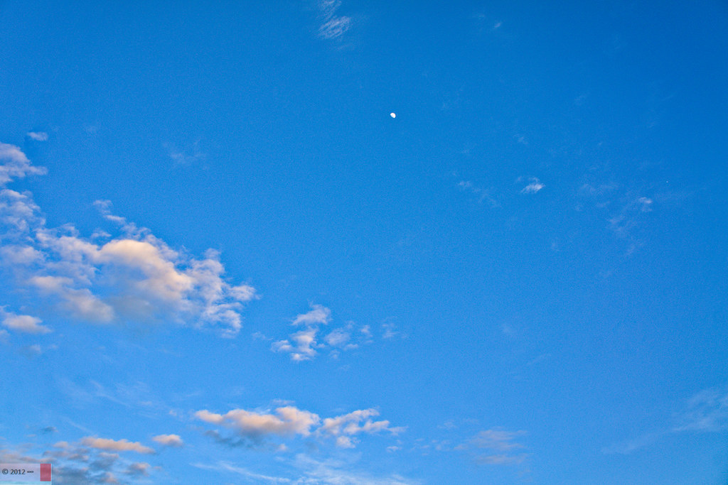
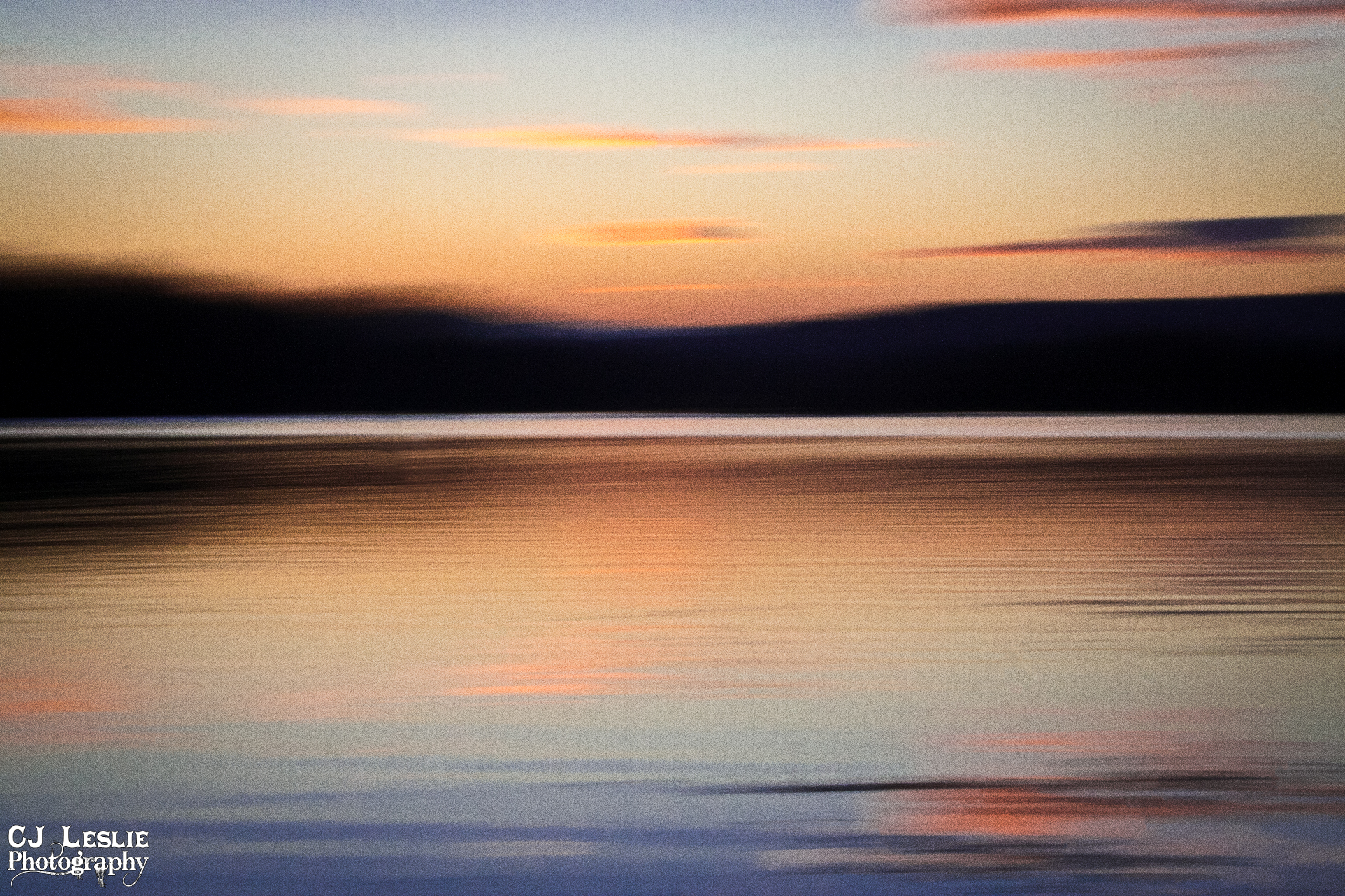
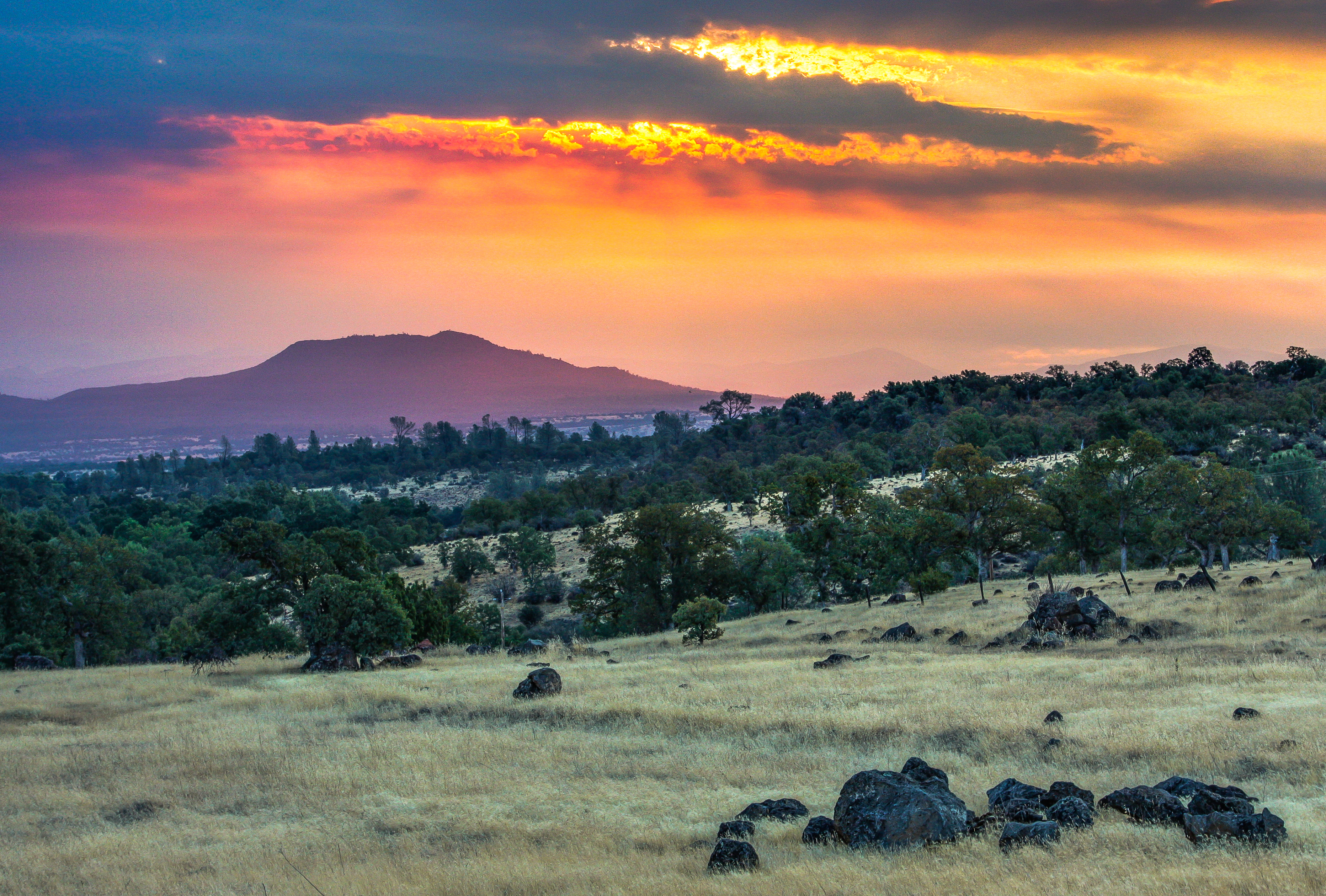
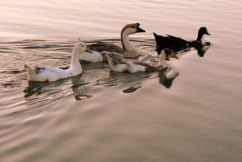
Sunrise & Sunset Photos

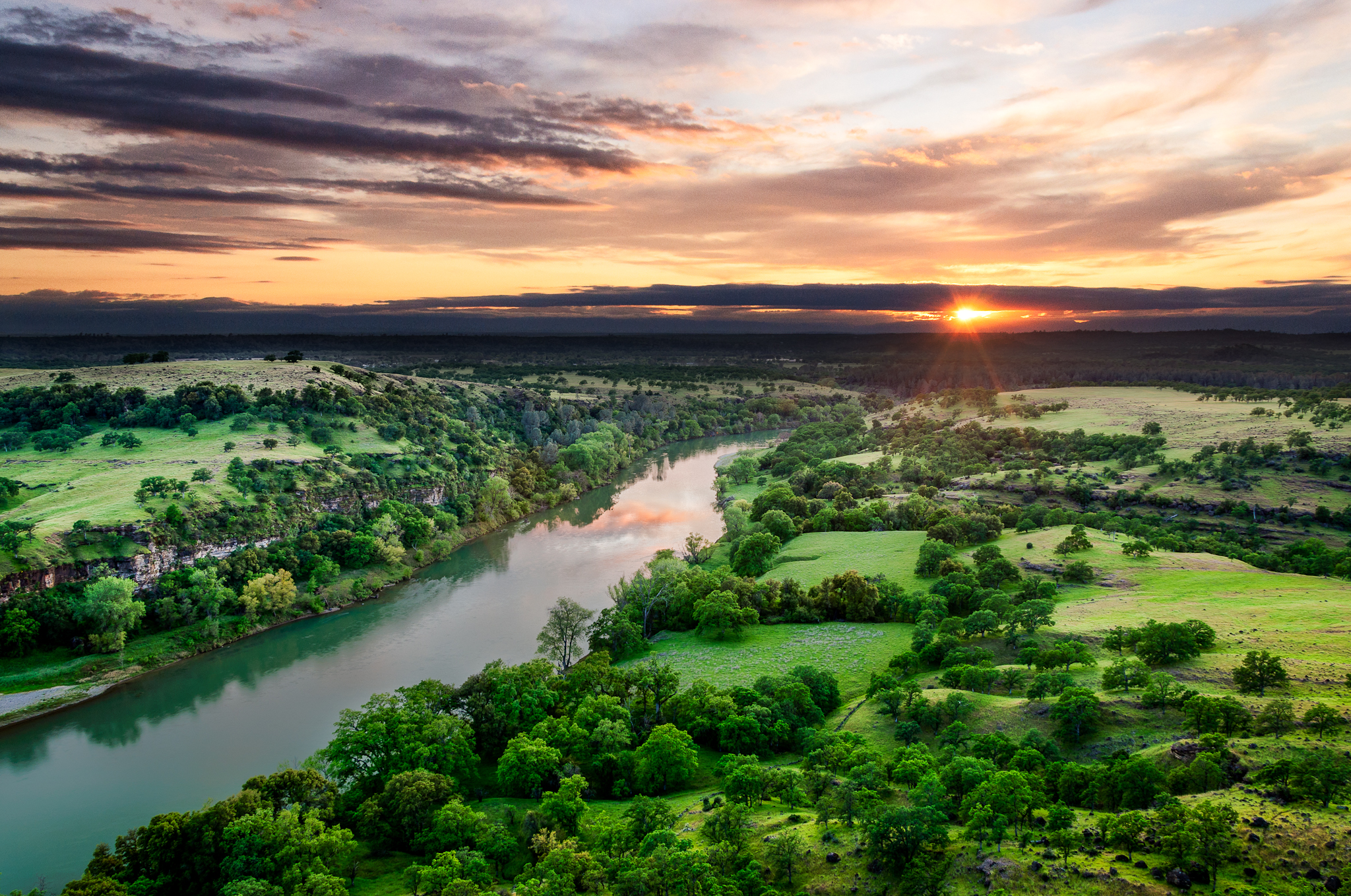
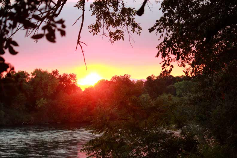
Sacramento River (Livin' on the Edge)

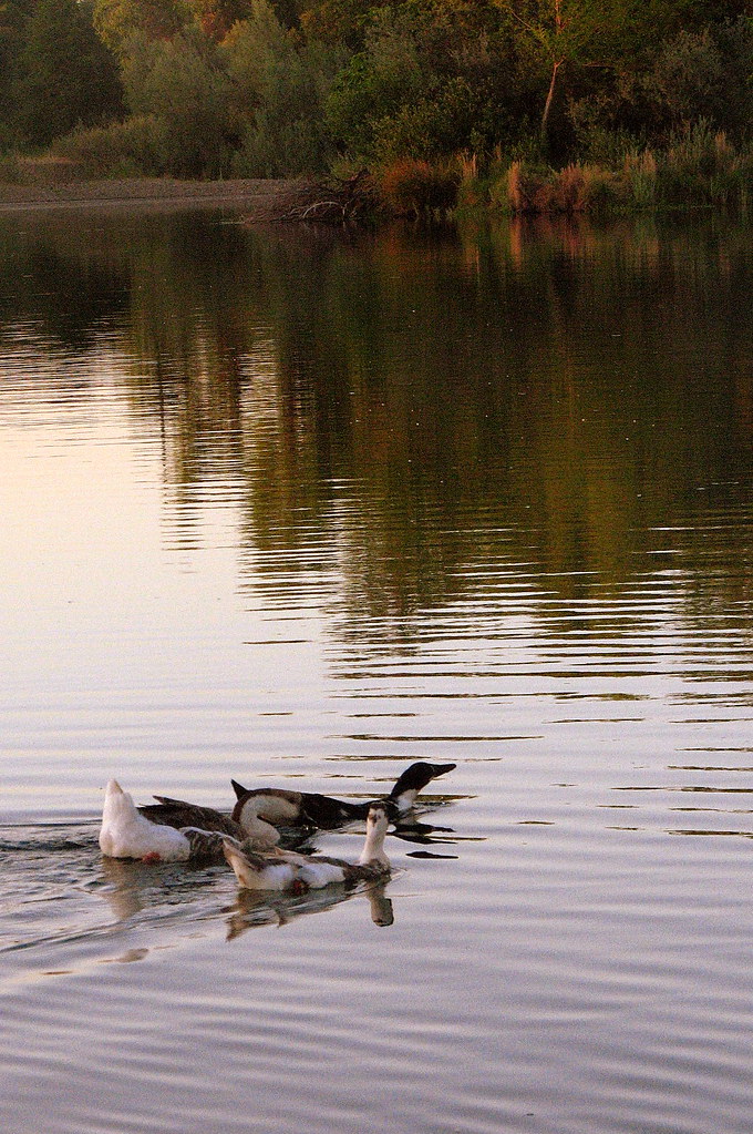
Coyote Pond - A New Breathe

Interstate 5 Northbound Tehama Valley Freeway approaching Exit 659 - Sunset Hills Road 1 mile with this roadside sign located at Tehama County - South Cottonwood, California.

Interstate 5 Northbound Tehama Valley Freeway approaches at Exit 659 - Sunset Hills Road with this roadside sign located at Tehama County - South Cottonwood, California.

Sacramento River (His Glory)
Sacramento River (His Glory)

Sacramento River (Dreaming in Vertical)

Iron Canyon Loop
Sunsets forever

Barge Hole (Red Bloom)
sacramento river sunset

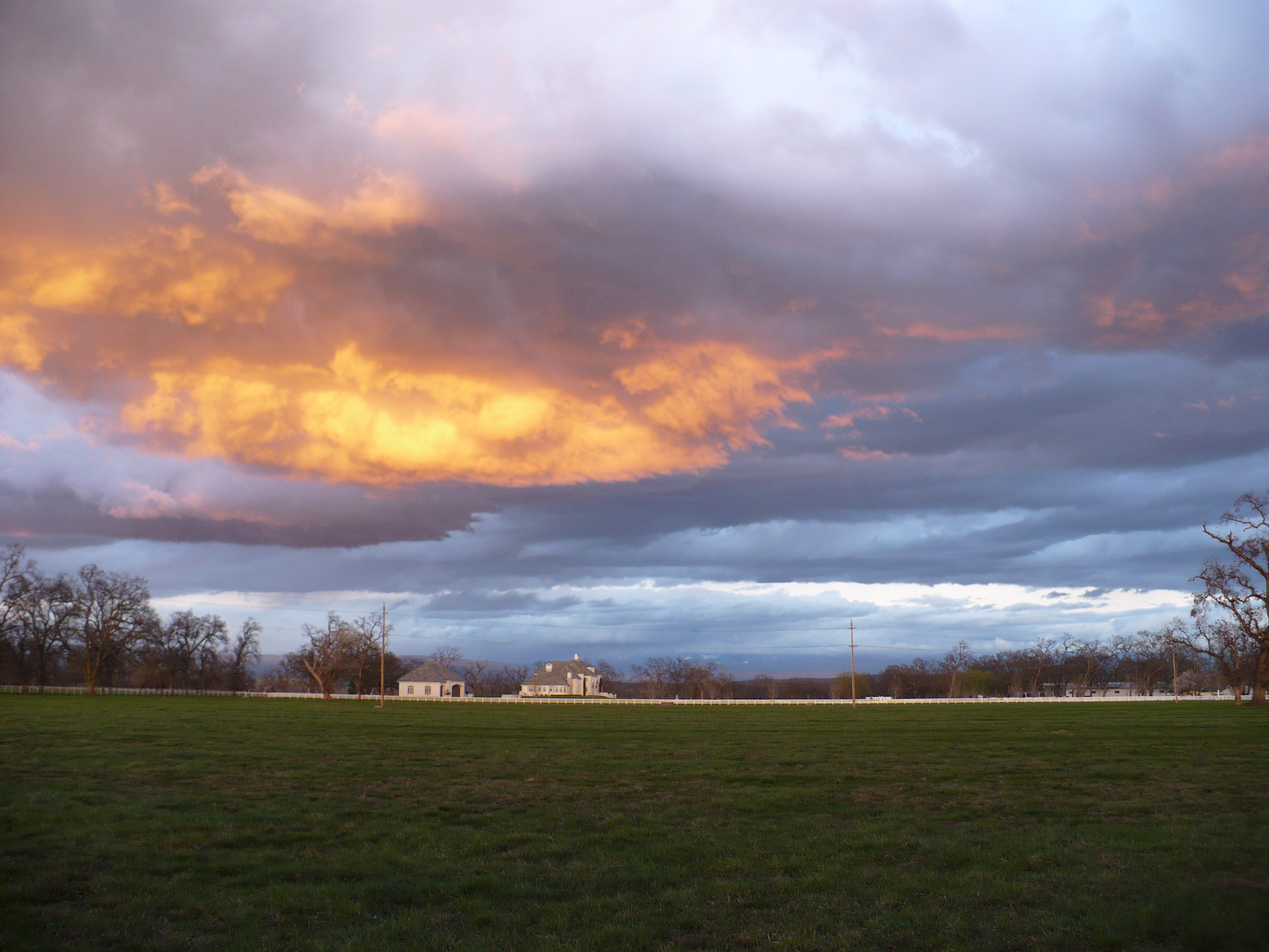
Clouds Deluxe

Leaving Lassen
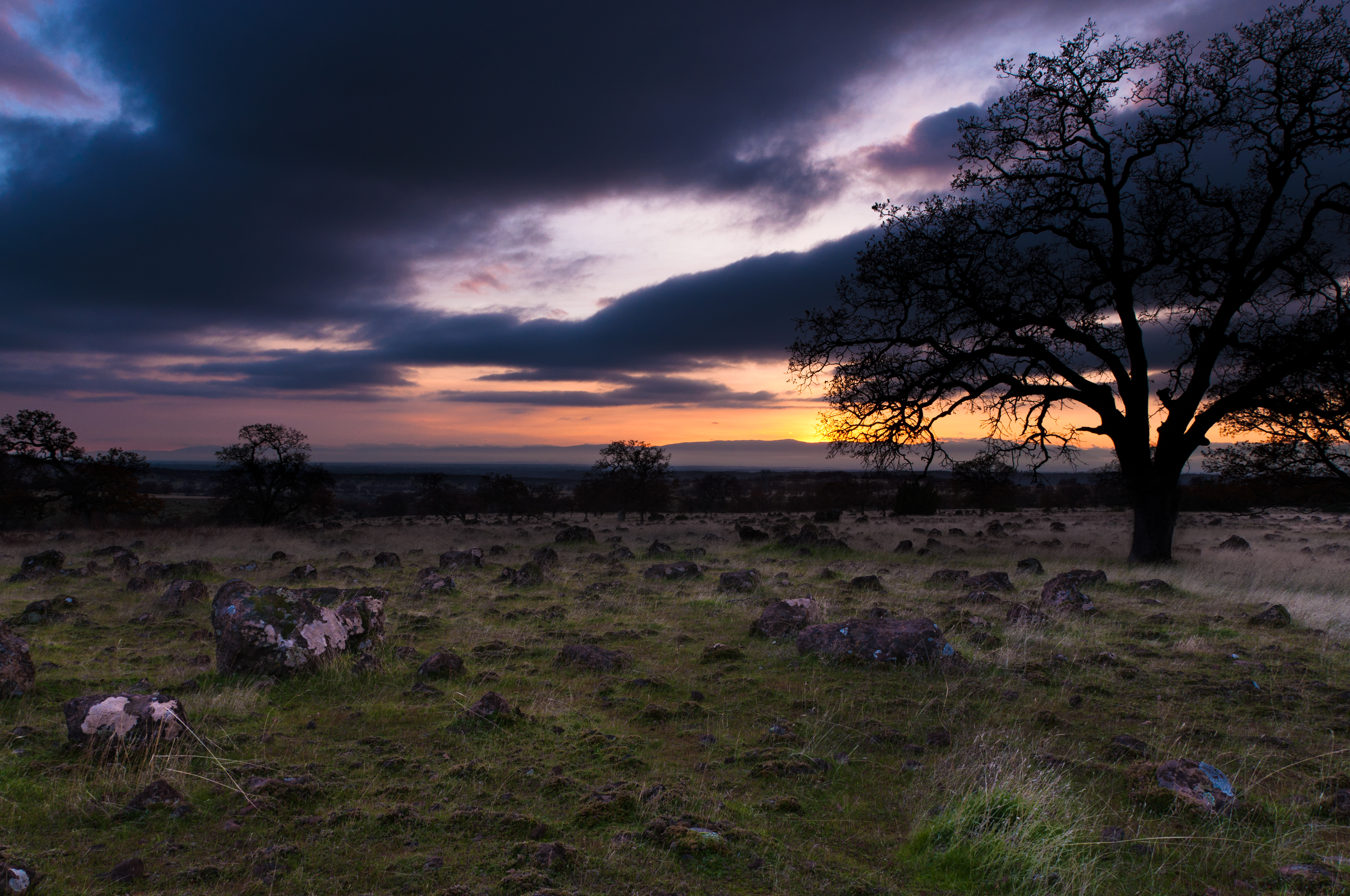
Passing storm
A Shasta SkyLine
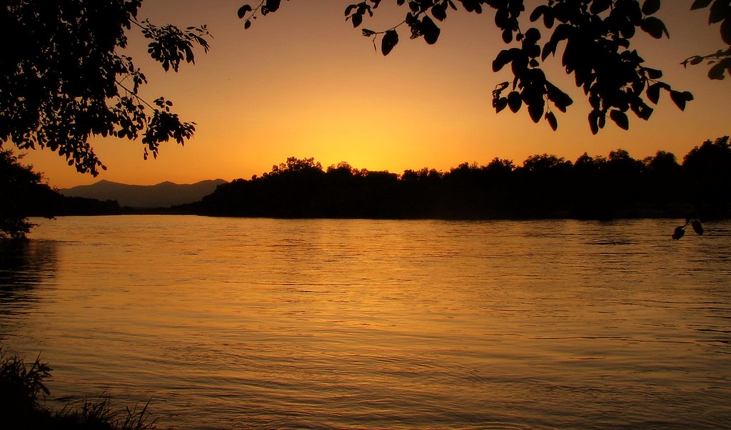
Sunset on the River
Northern California Sunrise
summer breeze
12-8607-1.jpg
ready for summer
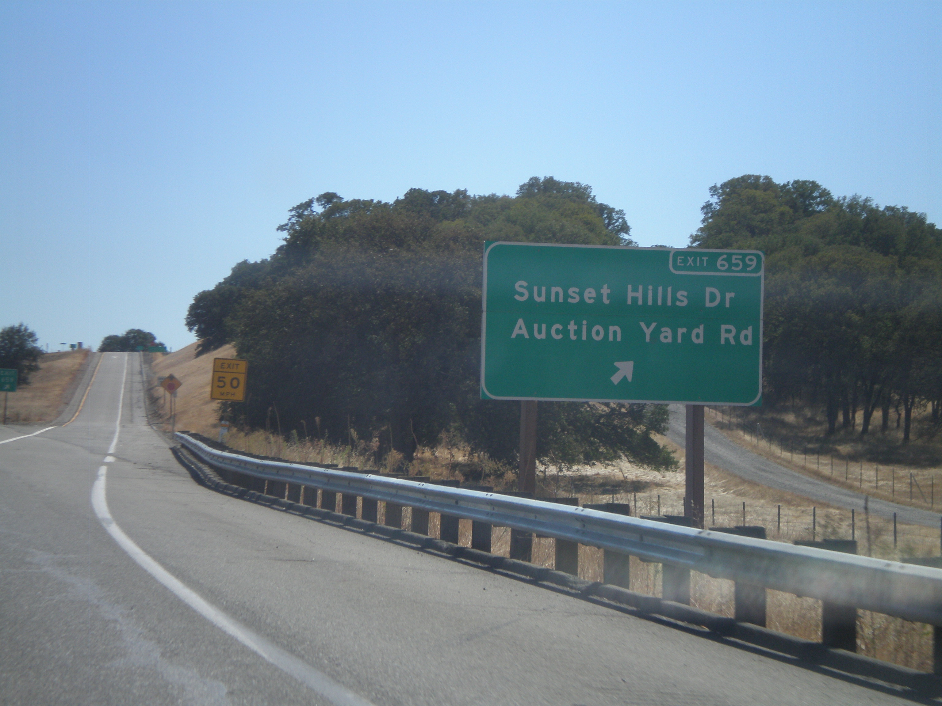
I-5 South - Exit 659

Sun coming up over Dersch Road Anderson Ca. On my way to attack Mount Lassen Peak. Couldn't pass up the sunrise shot.
Cloud Creek Pl, Cottonwood, CA, USA Map
Search another place
Near Places
River View Dr, Cottonwood, CA, USA
Gover Rd, Anderson, CA, USA
Lake California, CA, USA
Ketch Pl, Cottonwood, CA, USA
Cottonwood Creek Charter School, Brush St, Cottonwood, CA, USA
Cottonwood, CA, USA
Cottonwood Community Library, Main St, Cottonwood, CA, USA
Park Dr, Cottonwood, CA, USA
Lyn Ellen Drive, Lyn Ellen Dr, Red Bluff, CA, USA
Frantz Drive, Frantz Dr, Red Bluff, CA, USA
Vía Pasado, Red Bluff, CA, USA
Bend, CA, USA
E Wallen Rd, Red Bluff, CA, USA
Brent Rd, Red Bluff, CA, USA
Penner Drive, Penner Dr, Red Bluff, CA, USA
Anderson, CA, USA
Sharon Ave, Anderson, CA, USA
Cascade, Anderson, CA, USA
Impala Dr, Anderson, CA, USA
CA-36, Red Bluff, CA, USA
Recent Searches
- Sunrise Sunset Times of Red Dog Mine, AK, USA
- Sunrise Sunset Times of Am Bahnhof, Am bhf, Borken, Germany
- Sunrise Sunset Times of 4th St E, Sonoma, CA, USA
- Sunrise Sunset Times of Oakland Ave, Williamsport, PA, USA
- Sunrise Sunset Times of Via Roma, Pieranica CR, Italy
- Sunrise Sunset Times of Clock Tower of Dubrovnik, Grad, Dubrovnik, Croatia
- Sunrise Sunset Times of Trelew, Chubut Province, Argentina
- Sunrise Sunset Times of Hartfords Bluff Cir, Mt Pleasant, SC, USA
- Sunrise Sunset Times of Kita Ward, Kumamoto, Japan
- Sunrise Sunset Times of Pingtan Island, Pingtan County, Fuzhou, China