Sunrise Sunset Times of Camp Road, Camp Rd, Arizona, USA
Location: United States > Arizona > Yavapai County > Ash Fork >
Timezone:
America/Phoenix
Current Time:
2025-05-19 21:57:10
Longitude:
-112.5034836
Latitude:
35.1114992
Sunrise Today:
05:22:05 AM
Sunset Today:
07:31:07 PM
Daylength Today:
14h 9m 2s
Sunrise Tomorrow:
05:21:29 AM
Sunset Tomorrow:
07:31:51 PM
Daylength Tomorrow:
14h 10m 22s
Year Show All Dates
| Date | Sunrise | Sunset | Daylength |
|---|---|---|---|
| 01/01/2025 | 07:38:25 AM | 05:29:59 PM | 9h 51m 34s |
| 01/02/2025 | 07:38:33 AM | 05:30:47 PM | 9h 52m 14s |
| 01/03/2025 | 07:38:38 AM | 05:31:36 PM | 9h 52m 58s |
| 01/04/2025 | 07:38:42 AM | 05:32:26 PM | 9h 53m 44s |
| 01/05/2025 | 07:38:43 AM | 05:33:17 PM | 9h 54m 34s |
| 01/06/2025 | 07:38:43 AM | 05:34:09 PM | 9h 55m 26s |
| 01/07/2025 | 07:38:41 AM | 05:35:01 PM | 9h 56m 20s |
| 01/08/2025 | 07:38:37 AM | 05:35:55 PM | 9h 57m 18s |
| 01/09/2025 | 07:38:31 AM | 05:36:50 PM | 9h 58m 19s |
| 01/10/2025 | 07:38:23 AM | 05:37:45 PM | 9h 59m 22s |
| 01/11/2025 | 07:38:13 AM | 05:38:41 PM | 10h 0m 28s |
| 01/12/2025 | 07:38:01 AM | 05:39:37 PM | 10h 1m 36s |
| 01/13/2025 | 07:37:48 AM | 05:40:34 PM | 10h 2m 46s |
| 01/14/2025 | 07:37:32 AM | 05:41:32 PM | 10h 4m 0s |
| 01/15/2025 | 07:37:15 AM | 05:42:30 PM | 10h 5m 15s |
| 01/16/2025 | 07:36:55 AM | 05:43:29 PM | 10h 6m 34s |
| 01/17/2025 | 07:36:34 AM | 05:44:28 PM | 10h 7m 54s |
| 01/18/2025 | 07:36:11 AM | 05:45:28 PM | 10h 9m 17s |
| 01/19/2025 | 07:35:46 AM | 05:46:28 PM | 10h 10m 42s |
| 01/20/2025 | 07:35:20 AM | 05:47:28 PM | 10h 12m 8s |
| 01/21/2025 | 07:34:51 AM | 05:48:29 PM | 10h 13m 38s |
| 01/22/2025 | 07:34:21 AM | 05:49:30 PM | 10h 15m 9s |
| 01/23/2025 | 07:33:49 AM | 05:50:31 PM | 10h 16m 42s |
| 01/24/2025 | 07:33:15 AM | 05:51:32 PM | 10h 18m 17s |
| 01/25/2025 | 07:32:39 AM | 05:52:33 PM | 10h 19m 54s |
| 01/26/2025 | 07:32:02 AM | 05:53:34 PM | 10h 21m 32s |
| 01/27/2025 | 07:31:23 AM | 05:54:36 PM | 10h 23m 13s |
| 01/28/2025 | 07:30:43 AM | 05:55:37 PM | 10h 24m 54s |
| 01/29/2025 | 07:30:01 AM | 05:56:38 PM | 10h 26m 37s |
| 01/30/2025 | 07:29:17 AM | 05:57:40 PM | 10h 28m 23s |
| 01/31/2025 | 07:28:32 AM | 05:58:41 PM | 10h 30m 9s |
| 02/01/2025 | 07:27:45 AM | 05:59:42 PM | 10h 31m 57s |
| 02/02/2025 | 07:26:57 AM | 06:00:43 PM | 10h 33m 46s |
| 02/03/2025 | 07:26:07 AM | 06:01:44 PM | 10h 35m 37s |
| 02/04/2025 | 07:25:15 AM | 06:02:45 PM | 10h 37m 30s |
| 02/05/2025 | 07:24:23 AM | 06:03:46 PM | 10h 39m 23s |
| 02/06/2025 | 07:23:29 AM | 06:04:46 PM | 10h 41m 17s |
| 02/07/2025 | 07:22:33 AM | 06:05:46 PM | 10h 43m 13s |
| 02/08/2025 | 07:21:36 AM | 06:06:46 PM | 10h 45m 10s |
| 02/09/2025 | 07:20:38 AM | 06:07:46 PM | 10h 47m 8s |
| 02/10/2025 | 07:19:39 AM | 06:08:45 PM | 10h 49m 6s |
| 02/11/2025 | 07:18:38 AM | 06:09:44 PM | 10h 51m 6s |
| 02/12/2025 | 07:17:37 AM | 06:10:43 PM | 10h 53m 6s |
| 02/13/2025 | 07:16:34 AM | 06:11:42 PM | 10h 55m 8s |
| 02/14/2025 | 07:15:29 AM | 06:12:40 PM | 10h 57m 11s |
| 02/15/2025 | 07:14:24 AM | 06:13:38 PM | 10h 59m 14s |
| 02/16/2025 | 07:13:18 AM | 06:14:35 PM | 11h 1m 17s |
| 02/17/2025 | 07:12:10 AM | 06:15:33 PM | 11h 3m 23s |
| 02/18/2025 | 07:11:02 AM | 06:16:30 PM | 11h 5m 28s |
| 02/19/2025 | 07:09:53 AM | 06:17:26 PM | 11h 7m 33s |
| 02/20/2025 | 07:08:42 AM | 06:18:23 PM | 11h 9m 41s |
| 02/21/2025 | 07:07:31 AM | 06:19:18 PM | 11h 11m 47s |
| 02/22/2025 | 07:06:19 AM | 06:20:14 PM | 11h 13m 55s |
| 02/23/2025 | 07:05:06 AM | 06:21:09 PM | 11h 16m 3s |
| 02/24/2025 | 07:03:52 AM | 06:22:04 PM | 11h 18m 12s |
| 02/25/2025 | 07:02:37 AM | 06:22:59 PM | 11h 20m 22s |
| 02/26/2025 | 07:01:22 AM | 06:23:53 PM | 11h 22m 31s |
| 02/27/2025 | 07:00:06 AM | 06:24:47 PM | 11h 24m 41s |
| 02/28/2025 | 06:58:49 AM | 06:25:41 PM | 11h 26m 52s |
| 03/01/2025 | 06:57:31 AM | 06:26:34 PM | 11h 29m 3s |
| 03/02/2025 | 06:56:13 AM | 06:27:27 PM | 11h 31m 14s |
| 03/03/2025 | 06:54:54 AM | 06:28:19 PM | 11h 33m 25s |
| 03/04/2025 | 06:53:35 AM | 06:29:12 PM | 11h 35m 37s |
| 03/05/2025 | 06:52:15 AM | 06:30:04 PM | 11h 37m 49s |
| 03/06/2025 | 06:50:55 AM | 06:30:56 PM | 11h 40m 1s |
| 03/07/2025 | 06:49:34 AM | 06:31:47 PM | 11h 42m 13s |
| 03/08/2025 | 06:48:12 AM | 06:32:38 PM | 11h 44m 26s |
| 03/09/2025 | 06:46:51 AM | 06:33:29 PM | 11h 46m 38s |
| 03/10/2025 | 06:45:28 AM | 06:34:20 PM | 11h 48m 52s |
| 03/11/2025 | 06:44:06 AM | 06:35:11 PM | 11h 51m 5s |
| 03/12/2025 | 06:42:43 AM | 06:36:01 PM | 11h 53m 18s |
| 03/13/2025 | 06:41:20 AM | 06:36:51 PM | 11h 55m 31s |
| 03/14/2025 | 06:39:56 AM | 06:37:41 PM | 11h 57m 45s |
| 03/15/2025 | 06:38:33 AM | 06:38:30 PM | 11h 59m 57s |
| 03/16/2025 | 06:37:09 AM | 06:39:20 PM | 12h 2m 11s |
| 03/17/2025 | 06:35:45 AM | 06:40:09 PM | 12h 4m 24s |
| 03/18/2025 | 06:34:20 AM | 06:40:58 PM | 12h 6m 38s |
| 03/19/2025 | 06:32:56 AM | 06:41:47 PM | 12h 8m 51s |
| 03/20/2025 | 06:31:31 AM | 06:42:36 PM | 12h 11m 5s |
| 03/21/2025 | 06:30:07 AM | 06:43:25 PM | 12h 13m 18s |
| 03/22/2025 | 06:28:42 AM | 06:44:13 PM | 12h 15m 31s |
| 03/23/2025 | 06:27:18 AM | 06:45:02 PM | 12h 17m 44s |
| 03/24/2025 | 06:25:53 AM | 06:45:50 PM | 12h 19m 57s |
| 03/25/2025 | 06:24:29 AM | 06:46:39 PM | 12h 22m 10s |
| 03/26/2025 | 06:23:04 AM | 06:47:27 PM | 12h 24m 23s |
| 03/27/2025 | 06:21:40 AM | 06:48:15 PM | 12h 26m 35s |
| 03/28/2025 | 06:20:16 AM | 06:49:03 PM | 12h 28m 47s |
| 03/29/2025 | 06:18:51 AM | 06:49:51 PM | 12h 31m 0s |
| 03/30/2025 | 06:17:28 AM | 06:50:39 PM | 12h 33m 11s |
| 03/31/2025 | 06:16:04 AM | 06:51:27 PM | 12h 35m 23s |
| 04/01/2025 | 06:14:41 AM | 06:52:15 PM | 12h 37m 34s |
| 04/02/2025 | 06:13:18 AM | 06:53:03 PM | 12h 39m 45s |
| 04/03/2025 | 06:11:55 AM | 06:53:51 PM | 12h 41m 56s |
| 04/04/2025 | 06:10:32 AM | 06:54:39 PM | 12h 44m 7s |
| 04/05/2025 | 06:09:10 AM | 06:55:27 PM | 12h 46m 17s |
| 04/06/2025 | 06:07:49 AM | 06:56:15 PM | 12h 48m 26s |
| 04/07/2025 | 06:06:28 AM | 06:57:03 PM | 12h 50m 35s |
| 04/08/2025 | 06:05:07 AM | 06:57:52 PM | 12h 52m 45s |
| 04/09/2025 | 06:03:47 AM | 06:58:40 PM | 12h 54m 53s |
| 04/10/2025 | 06:02:27 AM | 06:59:28 PM | 12h 57m 1s |
| 04/11/2025 | 06:01:08 AM | 07:00:16 PM | 12h 59m 8s |
| 04/12/2025 | 05:59:49 AM | 07:01:05 PM | 13h 1m 16s |
| 04/13/2025 | 05:58:31 AM | 07:01:53 PM | 13h 3m 22s |
| 04/14/2025 | 05:57:13 AM | 07:02:41 PM | 13h 5m 28s |
| 04/15/2025 | 05:55:57 AM | 07:03:30 PM | 13h 7m 33s |
| 04/16/2025 | 05:54:41 AM | 07:04:19 PM | 13h 9m 38s |
| 04/17/2025 | 05:53:25 AM | 07:05:07 PM | 13h 11m 42s |
| 04/18/2025 | 05:52:11 AM | 07:05:56 PM | 13h 13m 45s |
| 04/19/2025 | 05:50:57 AM | 07:06:45 PM | 13h 15m 48s |
| 04/20/2025 | 05:49:44 AM | 07:07:34 PM | 13h 17m 50s |
| 04/21/2025 | 05:48:32 AM | 07:08:22 PM | 13h 19m 50s |
| 04/22/2025 | 05:47:20 AM | 07:09:11 PM | 13h 21m 51s |
| 04/23/2025 | 05:46:10 AM | 07:10:00 PM | 13h 23m 50s |
| 04/24/2025 | 05:45:01 AM | 07:10:49 PM | 13h 25m 48s |
| 04/25/2025 | 05:43:52 AM | 07:11:38 PM | 13h 27m 46s |
| 04/26/2025 | 05:42:44 AM | 07:12:28 PM | 13h 29m 44s |
| 04/27/2025 | 05:41:38 AM | 07:13:17 PM | 13h 31m 39s |
| 04/28/2025 | 05:40:32 AM | 07:14:06 PM | 13h 33m 34s |
| 04/29/2025 | 05:39:28 AM | 07:14:55 PM | 13h 35m 27s |
| 04/30/2025 | 05:38:24 AM | 07:15:44 PM | 13h 37m 20s |
| 05/01/2025 | 05:37:22 AM | 07:16:33 PM | 13h 39m 11s |
| 05/02/2025 | 05:36:21 AM | 07:17:22 PM | 13h 41m 1s |
| 05/03/2025 | 05:35:21 AM | 07:18:11 PM | 13h 42m 50s |
| 05/04/2025 | 05:34:22 AM | 07:19:00 PM | 13h 44m 38s |
| 05/05/2025 | 05:33:24 AM | 07:19:49 PM | 13h 46m 25s |
| 05/06/2025 | 05:32:28 AM | 07:20:37 PM | 13h 48m 9s |
| 05/07/2025 | 05:31:33 AM | 07:21:26 PM | 13h 49m 53s |
| 05/08/2025 | 05:30:39 AM | 07:22:14 PM | 13h 51m 35s |
| 05/09/2025 | 05:29:47 AM | 07:23:03 PM | 13h 53m 16s |
| 05/10/2025 | 05:28:56 AM | 07:23:51 PM | 13h 54m 55s |
| 05/11/2025 | 05:28:06 AM | 07:24:38 PM | 13h 56m 32s |
| 05/12/2025 | 05:27:17 AM | 07:25:26 PM | 13h 58m 9s |
| 05/13/2025 | 05:26:30 AM | 07:26:13 PM | 13h 59m 43s |
| 05/14/2025 | 05:25:45 AM | 07:27:00 PM | 14h 1m 15s |
| 05/15/2025 | 05:25:01 AM | 07:27:47 PM | 14h 2m 46s |
| 05/16/2025 | 05:24:18 AM | 07:28:33 PM | 14h 4m 15s |
| 05/17/2025 | 05:23:37 AM | 07:29:19 PM | 14h 5m 42s |
| 05/18/2025 | 05:22:57 AM | 07:30:05 PM | 14h 7m 8s |
| 05/19/2025 | 05:22:19 AM | 07:30:50 PM | 14h 8m 31s |
| 05/20/2025 | 05:21:43 AM | 07:31:35 PM | 14h 9m 52s |
| 05/21/2025 | 05:21:08 AM | 07:32:19 PM | 14h 11m 11s |
| 05/22/2025 | 05:20:34 AM | 07:33:03 PM | 14h 12m 29s |
| 05/23/2025 | 05:20:02 AM | 07:33:46 PM | 14h 13m 44s |
| 05/24/2025 | 05:19:32 AM | 07:34:28 PM | 14h 14m 56s |
| 05/25/2025 | 05:19:03 AM | 07:35:10 PM | 14h 16m 7s |
| 05/26/2025 | 05:18:36 AM | 07:35:51 PM | 14h 17m 15s |
| 05/27/2025 | 05:18:11 AM | 07:36:31 PM | 14h 18m 20s |
| 05/28/2025 | 05:17:47 AM | 07:37:11 PM | 14h 19m 24s |
| 05/29/2025 | 05:17:25 AM | 07:37:50 PM | 14h 20m 25s |
| 05/30/2025 | 05:17:04 AM | 07:38:28 PM | 14h 21m 24s |
| 05/31/2025 | 05:16:45 AM | 07:39:05 PM | 14h 22m 20s |
| 06/01/2025 | 05:16:28 AM | 07:39:42 PM | 14h 23m 14s |
| 06/02/2025 | 05:16:13 AM | 07:40:17 PM | 14h 24m 4s |
| 06/03/2025 | 05:15:59 AM | 07:40:52 PM | 14h 24m 53s |
| 06/04/2025 | 05:15:47 AM | 07:41:25 PM | 14h 25m 38s |
| 06/05/2025 | 05:15:36 AM | 07:41:58 PM | 14h 26m 22s |
| 06/06/2025 | 05:15:27 AM | 07:42:29 PM | 14h 27m 2s |
| 06/07/2025 | 05:15:20 AM | 07:42:59 PM | 14h 27m 39s |
| 06/08/2025 | 05:15:14 AM | 07:43:29 PM | 14h 28m 15s |
| 06/09/2025 | 05:15:10 AM | 07:43:57 PM | 14h 28m 47s |
| 06/10/2025 | 05:15:08 AM | 07:44:23 PM | 14h 29m 15s |
| 06/11/2025 | 05:15:07 AM | 07:44:49 PM | 14h 29m 42s |
| 06/12/2025 | 05:15:08 AM | 07:45:13 PM | 14h 30m 5s |
| 06/13/2025 | 05:15:11 AM | 07:45:36 PM | 14h 30m 25s |
| 06/14/2025 | 05:15:15 AM | 07:45:58 PM | 14h 30m 43s |
| 06/15/2025 | 05:15:20 AM | 07:46:18 PM | 14h 30m 58s |
| 06/16/2025 | 05:15:27 AM | 07:46:37 PM | 14h 31m 10s |
| 06/17/2025 | 05:15:36 AM | 07:46:54 PM | 14h 31m 18s |
| 06/18/2025 | 05:15:46 AM | 07:47:10 PM | 14h 31m 24s |
| 06/19/2025 | 05:15:58 AM | 07:47:25 PM | 14h 31m 27s |
| 06/20/2025 | 05:16:11 AM | 07:47:38 PM | 14h 31m 27s |
| 06/21/2025 | 05:16:25 AM | 07:47:50 PM | 14h 31m 25s |
| 06/22/2025 | 05:16:41 AM | 07:48:00 PM | 14h 31m 19s |
| 06/23/2025 | 05:16:59 AM | 07:48:08 PM | 14h 31m 9s |
| 06/24/2025 | 05:17:17 AM | 07:48:15 PM | 14h 30m 58s |
| 06/25/2025 | 05:17:37 AM | 07:48:20 PM | 14h 30m 43s |
| 06/26/2025 | 05:17:58 AM | 07:48:24 PM | 14h 30m 26s |
| 06/27/2025 | 05:18:21 AM | 07:48:26 PM | 14h 30m 5s |
| 06/28/2025 | 05:18:45 AM | 07:48:26 PM | 14h 29m 41s |
| 06/29/2025 | 05:19:10 AM | 07:48:25 PM | 14h 29m 15s |
| 06/30/2025 | 05:19:36 AM | 07:48:22 PM | 14h 28m 46s |
| 07/01/2025 | 05:20:03 AM | 07:48:17 PM | 14h 28m 14s |
| 07/02/2025 | 05:20:31 AM | 07:48:11 PM | 14h 27m 40s |
| 07/03/2025 | 05:21:01 AM | 07:48:03 PM | 14h 27m 2s |
| 07/04/2025 | 05:21:31 AM | 07:47:53 PM | 14h 26m 22s |
| 07/05/2025 | 05:22:02 AM | 07:47:42 PM | 14h 25m 40s |
| 07/06/2025 | 05:22:35 AM | 07:47:29 PM | 14h 24m 54s |
| 07/07/2025 | 05:23:08 AM | 07:47:14 PM | 14h 24m 6s |
| 07/08/2025 | 05:23:42 AM | 07:46:58 PM | 14h 23m 16s |
| 07/09/2025 | 05:24:17 AM | 07:46:39 PM | 14h 22m 22s |
| 07/10/2025 | 05:24:53 AM | 07:46:19 PM | 14h 21m 26s |
| 07/11/2025 | 05:25:30 AM | 07:45:58 PM | 14h 20m 28s |
| 07/12/2025 | 05:26:07 AM | 07:45:35 PM | 14h 19m 28s |
| 07/13/2025 | 05:26:45 AM | 07:45:10 PM | 14h 18m 25s |
| 07/14/2025 | 05:27:24 AM | 07:44:43 PM | 14h 17m 19s |
| 07/15/2025 | 05:28:03 AM | 07:44:15 PM | 14h 16m 12s |
| 07/16/2025 | 05:28:43 AM | 07:43:45 PM | 14h 15m 2s |
| 07/17/2025 | 05:29:24 AM | 07:43:13 PM | 14h 13m 49s |
| 07/18/2025 | 05:30:05 AM | 07:42:40 PM | 14h 12m 35s |
| 07/19/2025 | 05:30:46 AM | 07:42:05 PM | 14h 11m 19s |
| 07/20/2025 | 05:31:28 AM | 07:41:29 PM | 14h 10m 1s |
| 07/21/2025 | 05:32:11 AM | 07:40:51 PM | 14h 8m 40s |
| 07/22/2025 | 05:32:54 AM | 07:40:12 PM | 14h 7m 18s |
| 07/23/2025 | 05:33:37 AM | 07:39:30 PM | 14h 5m 53s |
| 07/24/2025 | 05:34:20 AM | 07:38:48 PM | 14h 4m 28s |
| 07/25/2025 | 05:35:04 AM | 07:38:04 PM | 14h 3m 0s |
| 07/26/2025 | 05:35:48 AM | 07:37:18 PM | 14h 1m 30s |
| 07/27/2025 | 05:36:33 AM | 07:36:31 PM | 13h 59m 58s |
| 07/28/2025 | 05:37:17 AM | 07:35:43 PM | 13h 58m 26s |
| 07/29/2025 | 05:38:02 AM | 07:34:53 PM | 13h 56m 51s |
| 07/30/2025 | 05:38:47 AM | 07:34:01 PM | 13h 55m 14s |
| 07/31/2025 | 05:39:33 AM | 07:33:09 PM | 13h 53m 36s |
| 08/01/2025 | 05:40:18 AM | 07:32:15 PM | 13h 51m 57s |
| 08/02/2025 | 05:41:03 AM | 07:31:19 PM | 13h 50m 16s |
| 08/03/2025 | 05:41:49 AM | 07:30:23 PM | 13h 48m 34s |
| 08/04/2025 | 05:42:35 AM | 07:29:25 PM | 13h 46m 50s |
| 08/05/2025 | 05:43:20 AM | 07:28:25 PM | 13h 45m 5s |
| 08/06/2025 | 05:44:06 AM | 07:27:25 PM | 13h 43m 19s |
| 08/07/2025 | 05:44:52 AM | 07:26:23 PM | 13h 41m 31s |
| 08/08/2025 | 05:45:38 AM | 07:25:21 PM | 13h 39m 43s |
| 08/09/2025 | 05:46:23 AM | 07:24:17 PM | 13h 37m 54s |
| 08/10/2025 | 05:47:09 AM | 07:23:11 PM | 13h 36m 2s |
| 08/11/2025 | 05:47:55 AM | 07:22:05 PM | 13h 34m 10s |
| 08/12/2025 | 05:48:40 AM | 07:20:58 PM | 13h 32m 18s |
| 08/13/2025 | 05:49:26 AM | 07:19:50 PM | 13h 30m 24s |
| 08/14/2025 | 05:50:12 AM | 07:18:40 PM | 13h 28m 28s |
| 08/15/2025 | 05:50:57 AM | 07:17:30 PM | 13h 26m 33s |
| 08/16/2025 | 05:51:43 AM | 07:16:19 PM | 13h 24m 36s |
| 08/17/2025 | 05:52:28 AM | 07:15:07 PM | 13h 22m 39s |
| 08/18/2025 | 05:53:13 AM | 07:13:54 PM | 13h 20m 41s |
| 08/19/2025 | 05:53:59 AM | 07:12:40 PM | 13h 18m 41s |
| 08/20/2025 | 05:54:44 AM | 07:11:25 PM | 13h 16m 41s |
| 08/21/2025 | 05:55:29 AM | 07:10:09 PM | 13h 14m 40s |
| 08/22/2025 | 05:56:14 AM | 07:08:53 PM | 13h 12m 39s |
| 08/23/2025 | 05:56:58 AM | 07:07:36 PM | 13h 10m 38s |
| 08/24/2025 | 05:57:43 AM | 07:06:18 PM | 13h 8m 35s |
| 08/25/2025 | 05:58:28 AM | 07:04:59 PM | 13h 6m 31s |
| 08/26/2025 | 05:59:12 AM | 07:03:40 PM | 13h 4m 28s |
| 08/27/2025 | 05:59:57 AM | 07:02:20 PM | 13h 2m 23s |
| 08/28/2025 | 06:00:41 AM | 07:00:59 PM | 13h 0m 18s |
| 08/29/2025 | 06:01:25 AM | 06:59:38 PM | 12h 58m 13s |
| 08/30/2025 | 06:02:09 AM | 06:58:17 PM | 12h 56m 8s |
| 08/31/2025 | 06:02:54 AM | 06:56:54 PM | 12h 54m 0s |
| 09/01/2025 | 06:03:38 AM | 06:55:32 PM | 12h 51m 54s |
| 09/02/2025 | 06:04:22 AM | 06:54:08 PM | 12h 49m 46s |
| 09/03/2025 | 06:05:06 AM | 06:52:45 PM | 12h 47m 39s |
| 09/04/2025 | 06:05:49 AM | 06:51:21 PM | 12h 45m 32s |
| 09/05/2025 | 06:06:33 AM | 06:49:56 PM | 12h 43m 23s |
| 09/06/2025 | 06:07:17 AM | 06:48:31 PM | 12h 41m 14s |
| 09/07/2025 | 06:08:01 AM | 06:47:06 PM | 12h 39m 5s |
| 09/08/2025 | 06:08:44 AM | 06:45:41 PM | 12h 36m 57s |
| 09/09/2025 | 06:09:28 AM | 06:44:15 PM | 12h 34m 47s |
| 09/10/2025 | 06:10:12 AM | 06:42:49 PM | 12h 32m 37s |
| 09/11/2025 | 06:10:56 AM | 06:41:23 PM | 12h 30m 27s |
| 09/12/2025 | 06:11:39 AM | 06:39:56 PM | 12h 28m 17s |
| 09/13/2025 | 06:12:23 AM | 06:38:30 PM | 12h 26m 7s |
| 09/14/2025 | 06:13:07 AM | 06:37:03 PM | 12h 23m 56s |
| 09/15/2025 | 06:13:51 AM | 06:35:36 PM | 12h 21m 45s |
| 09/16/2025 | 06:14:35 AM | 06:34:10 PM | 12h 19m 35s |
| 09/17/2025 | 06:15:19 AM | 06:32:43 PM | 12h 17m 24s |
| 09/18/2025 | 06:16:03 AM | 06:31:16 PM | 12h 15m 13s |
| 09/19/2025 | 06:16:47 AM | 06:29:49 PM | 12h 13m 2s |
| 09/20/2025 | 06:17:32 AM | 06:28:22 PM | 12h 10m 50s |
| 09/21/2025 | 06:18:16 AM | 06:26:55 PM | 12h 8m 39s |
| 09/22/2025 | 06:19:01 AM | 06:25:28 PM | 12h 6m 27s |
| 09/23/2025 | 06:19:46 AM | 06:24:02 PM | 12h 4m 16s |
| 09/24/2025 | 06:20:30 AM | 06:22:35 PM | 12h 2m 5s |
| 09/25/2025 | 06:21:16 AM | 06:21:09 PM | 11h 59m 53s |
| 09/26/2025 | 06:22:01 AM | 06:19:43 PM | 11h 57m 42s |
| 09/27/2025 | 06:22:46 AM | 06:18:17 PM | 11h 55m 31s |
| 09/28/2025 | 06:23:32 AM | 06:16:52 PM | 11h 53m 20s |
| 09/29/2025 | 06:24:18 AM | 06:15:26 PM | 11h 51m 8s |
| 09/30/2025 | 06:25:04 AM | 06:14:02 PM | 11h 48m 58s |
| 10/01/2025 | 06:25:50 AM | 06:12:37 PM | 11h 46m 47s |
| 10/02/2025 | 06:26:37 AM | 06:11:13 PM | 11h 44m 36s |
| 10/03/2025 | 06:27:24 AM | 06:09:49 PM | 11h 42m 25s |
| 10/04/2025 | 06:28:11 AM | 06:08:26 PM | 11h 40m 15s |
| 10/05/2025 | 06:28:59 AM | 06:07:03 PM | 11h 38m 4s |
| 10/06/2025 | 06:29:46 AM | 06:05:41 PM | 11h 35m 55s |
| 10/07/2025 | 06:30:34 AM | 06:04:19 PM | 11h 33m 45s |
| 10/08/2025 | 06:31:23 AM | 06:02:58 PM | 11h 31m 35s |
| 10/09/2025 | 06:32:11 AM | 06:01:37 PM | 11h 29m 26s |
| 10/10/2025 | 06:33:00 AM | 06:00:17 PM | 11h 27m 17s |
| 10/11/2025 | 06:33:50 AM | 05:58:58 PM | 11h 25m 8s |
| 10/12/2025 | 06:34:39 AM | 05:57:39 PM | 11h 23m 0s |
| 10/13/2025 | 06:35:29 AM | 05:56:21 PM | 11h 20m 52s |
| 10/14/2025 | 06:36:20 AM | 05:55:04 PM | 11h 18m 44s |
| 10/15/2025 | 06:37:10 AM | 05:53:48 PM | 11h 16m 38s |
| 10/16/2025 | 06:38:02 AM | 05:52:32 PM | 11h 14m 30s |
| 10/17/2025 | 06:38:53 AM | 05:51:18 PM | 11h 12m 25s |
| 10/18/2025 | 06:39:45 AM | 05:50:04 PM | 11h 10m 19s |
| 10/19/2025 | 06:40:37 AM | 05:48:51 PM | 11h 8m 14s |
| 10/20/2025 | 06:41:30 AM | 05:47:39 PM | 11h 6m 9s |
| 10/21/2025 | 06:42:22 AM | 05:46:28 PM | 11h 4m 6s |
| 10/22/2025 | 06:43:16 AM | 05:45:18 PM | 11h 2m 2s |
| 10/23/2025 | 06:44:09 AM | 05:44:09 PM | 11h 0m 0s |
| 10/24/2025 | 06:45:03 AM | 05:43:01 PM | 10h 57m 58s |
| 10/25/2025 | 06:45:58 AM | 05:41:54 PM | 10h 55m 56s |
| 10/26/2025 | 06:46:52 AM | 05:40:49 PM | 10h 53m 57s |
| 10/27/2025 | 06:47:47 AM | 05:39:44 PM | 10h 51m 57s |
| 10/28/2025 | 06:48:43 AM | 05:38:41 PM | 10h 49m 58s |
| 10/29/2025 | 06:49:38 AM | 05:37:39 PM | 10h 48m 1s |
| 10/30/2025 | 06:50:34 AM | 05:36:38 PM | 10h 46m 4s |
| 10/31/2025 | 06:51:31 AM | 05:35:39 PM | 10h 44m 8s |
| 11/01/2025 | 06:52:27 AM | 05:34:40 PM | 10h 42m 13s |
| 11/02/2025 | 06:53:24 AM | 05:33:44 PM | 10h 40m 20s |
| 11/03/2025 | 06:54:21 AM | 05:32:48 PM | 10h 38m 27s |
| 11/04/2025 | 06:55:19 AM | 05:31:54 PM | 10h 36m 35s |
| 11/05/2025 | 06:56:16 AM | 05:31:01 PM | 10h 34m 45s |
| 11/06/2025 | 06:57:14 AM | 05:30:10 PM | 10h 32m 56s |
| 11/07/2025 | 06:58:12 AM | 05:29:21 PM | 10h 31m 9s |
| 11/08/2025 | 06:59:10 AM | 05:28:32 PM | 10h 29m 22s |
| 11/09/2025 | 07:00:08 AM | 05:27:46 PM | 10h 27m 38s |
| 11/10/2025 | 07:01:07 AM | 05:27:01 PM | 10h 25m 54s |
| 11/11/2025 | 07:02:05 AM | 05:26:18 PM | 10h 24m 13s |
| 11/12/2025 | 07:03:04 AM | 05:25:36 PM | 10h 22m 32s |
| 11/13/2025 | 07:04:02 AM | 05:24:56 PM | 10h 20m 54s |
| 11/14/2025 | 07:05:01 AM | 05:24:17 PM | 10h 19m 16s |
| 11/15/2025 | 07:06:00 AM | 05:23:41 PM | 10h 17m 41s |
| 11/16/2025 | 07:06:58 AM | 05:23:06 PM | 10h 16m 8s |
| 11/17/2025 | 07:07:56 AM | 05:22:33 PM | 10h 14m 37s |
| 11/18/2025 | 07:08:55 AM | 05:22:01 PM | 10h 13m 6s |
| 11/19/2025 | 07:09:53 AM | 05:21:32 PM | 10h 11m 39s |
| 11/20/2025 | 07:10:51 AM | 05:21:04 PM | 10h 10m 13s |
| 11/21/2025 | 07:11:48 AM | 05:20:38 PM | 10h 8m 50s |
| 11/22/2025 | 07:12:45 AM | 05:20:14 PM | 10h 7m 29s |
| 11/23/2025 | 07:13:42 AM | 05:19:52 PM | 10h 6m 10s |
| 11/24/2025 | 07:14:39 AM | 05:19:32 PM | 10h 4m 53s |
| 11/25/2025 | 07:15:35 AM | 05:19:13 PM | 10h 3m 38s |
| 11/26/2025 | 07:16:31 AM | 05:18:57 PM | 10h 2m 26s |
| 11/27/2025 | 07:17:26 AM | 05:18:42 PM | 10h 1m 16s |
| 11/28/2025 | 07:18:21 AM | 05:18:30 PM | 10h 0m 9s |
| 11/29/2025 | 07:19:15 AM | 05:18:19 PM | 9h 59m 4s |
| 11/30/2025 | 07:20:08 AM | 05:18:11 PM | 9h 58m 3s |
| 12/01/2025 | 07:21:01 AM | 05:18:04 PM | 9h 57m 3s |
| 12/02/2025 | 07:21:53 AM | 05:17:59 PM | 9h 56m 6s |
| 12/03/2025 | 07:22:44 AM | 05:17:56 PM | 9h 55m 12s |
| 12/04/2025 | 07:23:35 AM | 05:17:56 PM | 9h 54m 21s |
| 12/05/2025 | 07:24:24 AM | 05:17:57 PM | 9h 53m 33s |
| 12/06/2025 | 07:25:13 AM | 05:18:00 PM | 9h 52m 47s |
| 12/07/2025 | 07:26:00 AM | 05:18:05 PM | 9h 52m 5s |
| 12/08/2025 | 07:26:47 AM | 05:18:12 PM | 9h 51m 25s |
| 12/09/2025 | 07:27:32 AM | 05:18:21 PM | 9h 50m 49s |
| 12/10/2025 | 07:28:16 AM | 05:18:32 PM | 9h 50m 16s |
| 12/11/2025 | 07:28:59 AM | 05:18:44 PM | 9h 49m 45s |
| 12/12/2025 | 07:29:41 AM | 05:18:59 PM | 9h 49m 18s |
| 12/13/2025 | 07:30:22 AM | 05:19:16 PM | 9h 48m 54s |
| 12/14/2025 | 07:31:01 AM | 05:19:34 PM | 9h 48m 33s |
| 12/15/2025 | 07:31:39 AM | 05:19:54 PM | 9h 48m 15s |
| 12/16/2025 | 07:32:16 AM | 05:20:16 PM | 9h 48m 0s |
| 12/17/2025 | 07:32:51 AM | 05:20:40 PM | 9h 47m 49s |
| 12/18/2025 | 07:33:25 AM | 05:21:06 PM | 9h 47m 41s |
| 12/19/2025 | 07:33:57 AM | 05:21:33 PM | 9h 47m 36s |
| 12/20/2025 | 07:34:28 AM | 05:22:02 PM | 9h 47m 34s |
| 12/21/2025 | 07:34:57 AM | 05:22:32 PM | 9h 47m 35s |
| 12/22/2025 | 07:35:24 AM | 05:23:05 PM | 9h 47m 41s |
| 12/23/2025 | 07:35:50 AM | 05:23:38 PM | 9h 47m 48s |
| 12/24/2025 | 07:36:14 AM | 05:24:14 PM | 9h 48m 0s |
| 12/25/2025 | 07:36:36 AM | 05:24:51 PM | 9h 48m 15s |
| 12/26/2025 | 07:36:57 AM | 05:25:29 PM | 9h 48m 32s |
| 12/27/2025 | 07:37:16 AM | 05:26:09 PM | 9h 48m 53s |
| 12/28/2025 | 07:37:33 AM | 05:26:50 PM | 9h 49m 17s |
| 12/29/2025 | 07:37:48 AM | 05:27:33 PM | 9h 49m 45s |
| 12/30/2025 | 07:38:02 AM | 05:28:17 PM | 9h 50m 15s |
| 12/31/2025 | 07:38:13 AM | 05:29:02 PM | 9h 50m 49s |
Sunrise & Sunset Photos
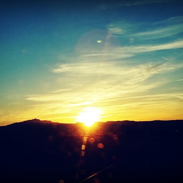
#sunrise #Arizona
DSC_1746 (Copy)
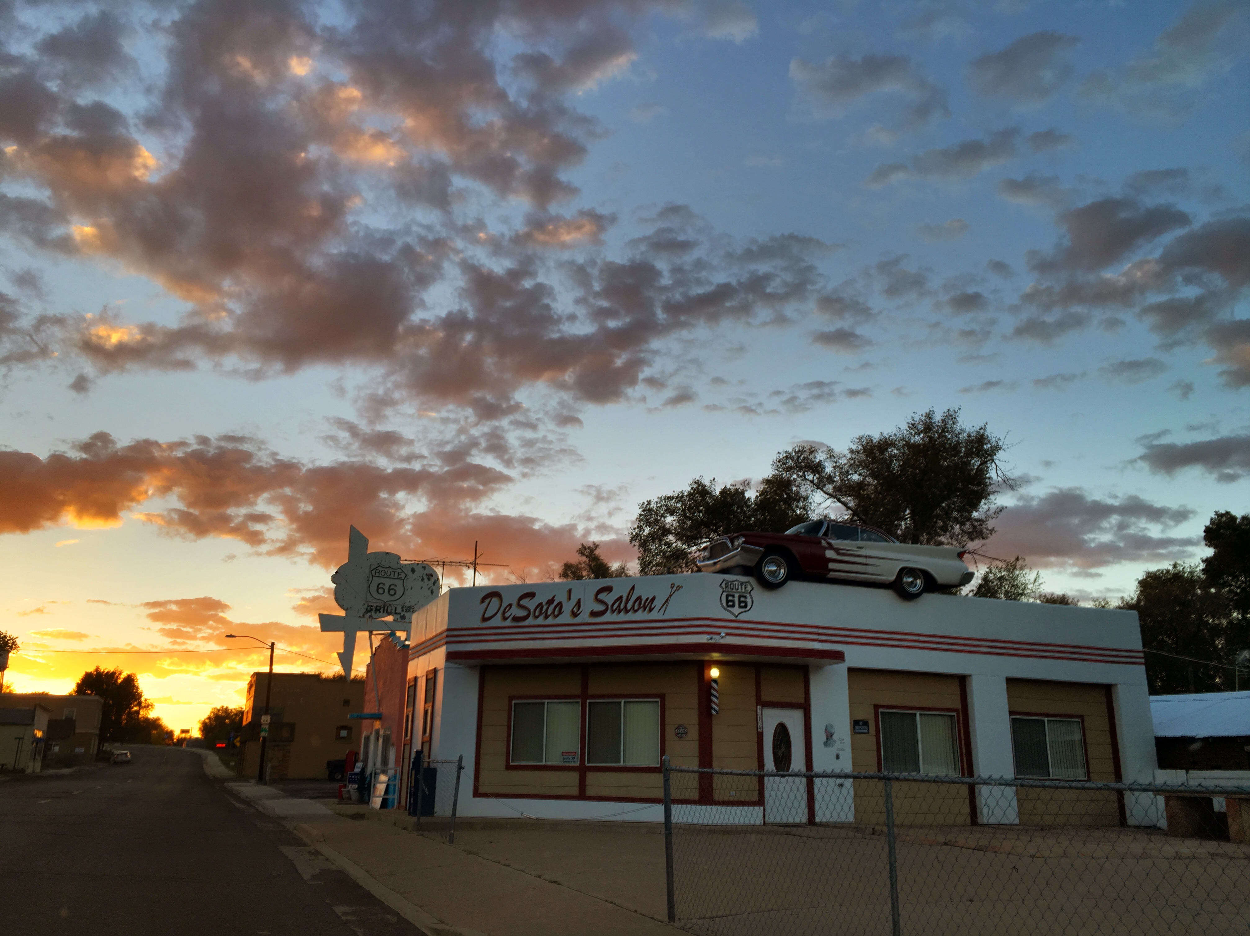
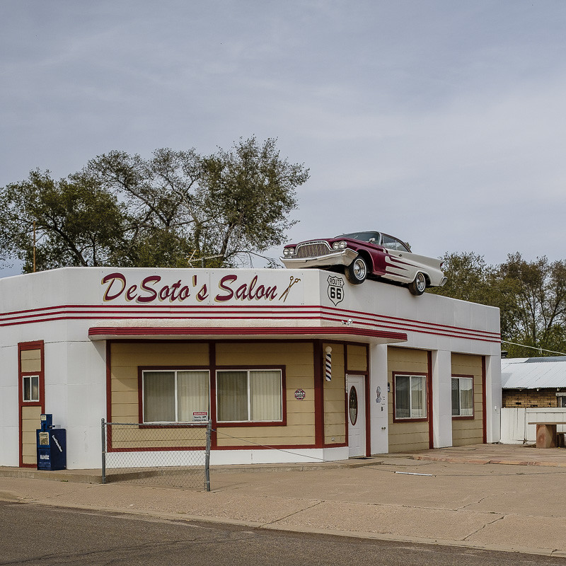
DeSoto's Salon
"Park anywhere you like." Ash Fork AZ

CHINO VALLEY MOONLIGHT 360 PANORAMA

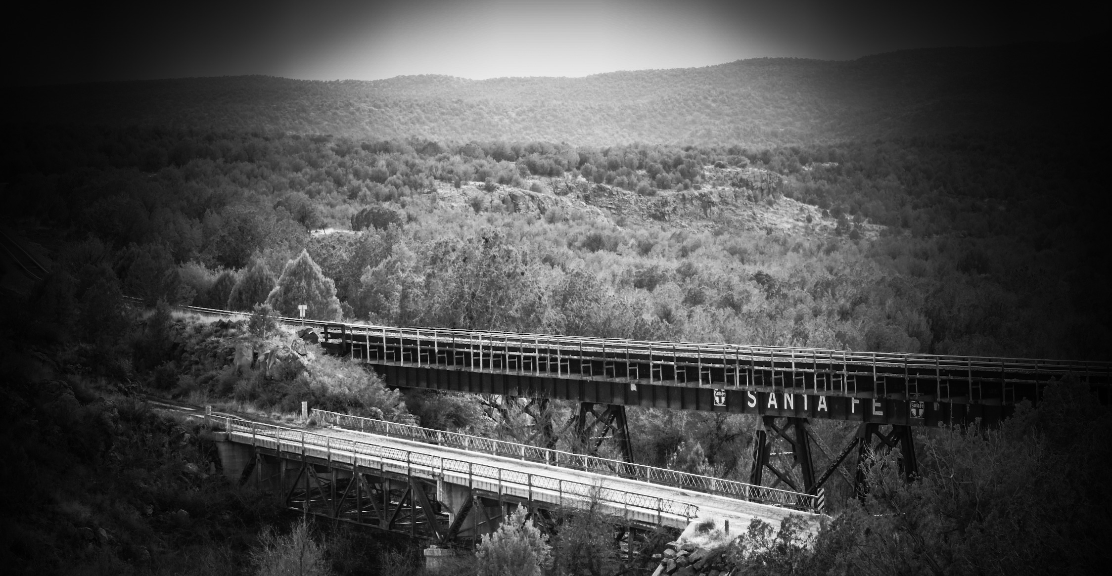
BNSF - Little Hell Canyon Bridge (Yavapai County, Arizona)
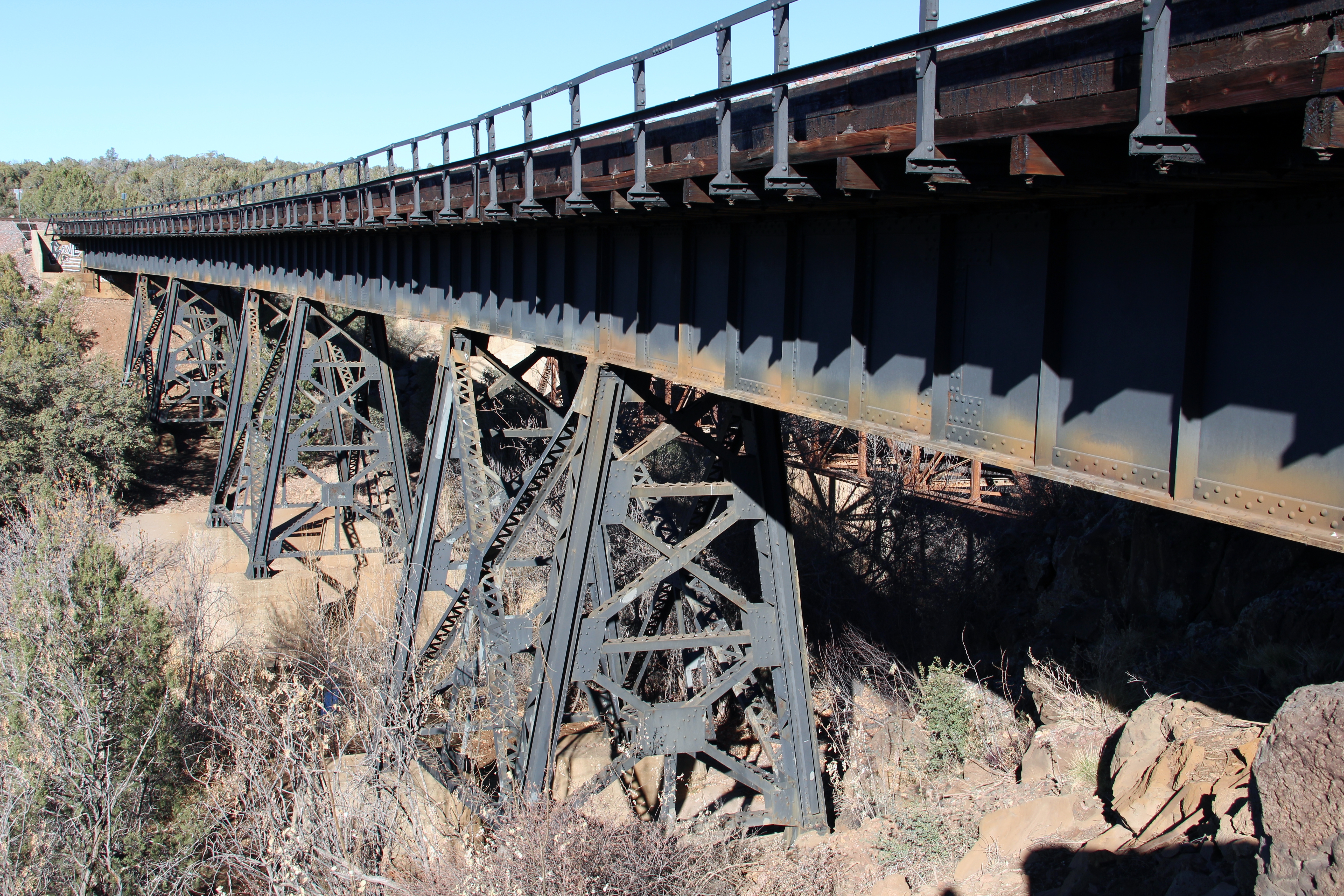
BNSF - Little Hell Canyon Bridge (Yavapai County, Arizona)
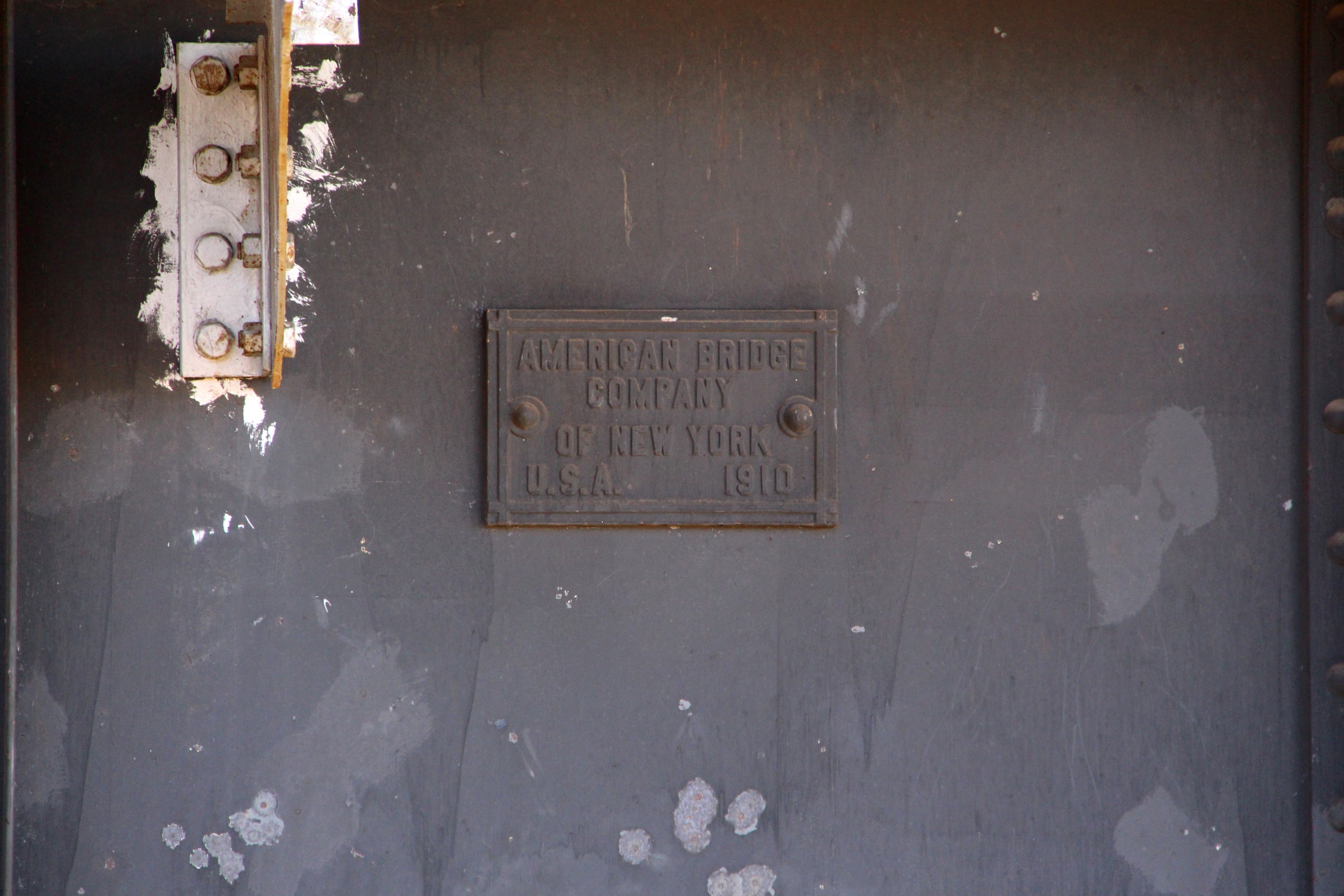
BNSF - Little Hell Canyon Bridge (Yavapai County, Arizona)

Old U.S. Hwy 89 Little Hell Canyon Bridge (Yavapai County, Arizona)

Old Water Tower (Ash Fork, Arizona)

BNSF, Ash Fork, Arizona
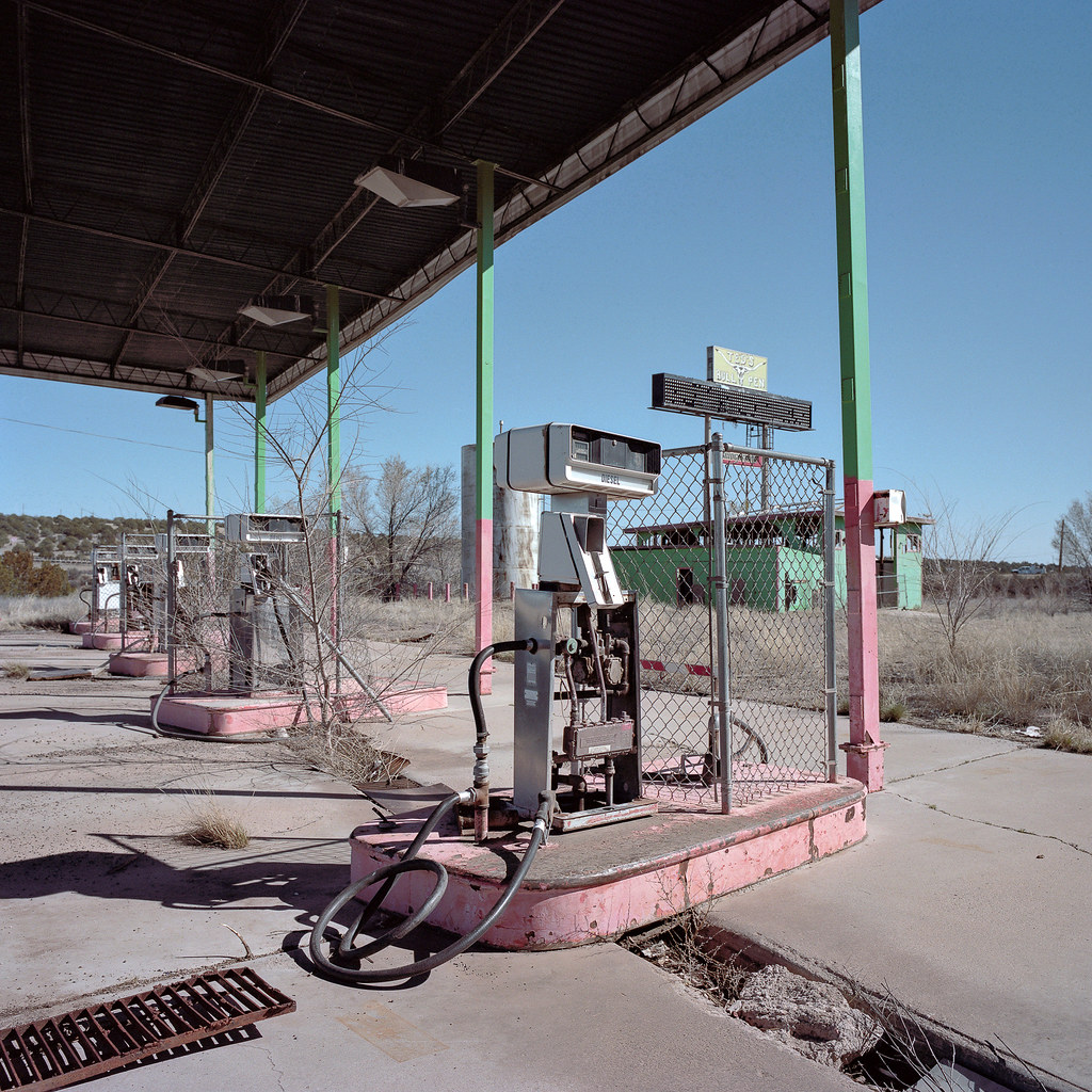
ted's bull pen / route 66. ash fork, az. 2015.
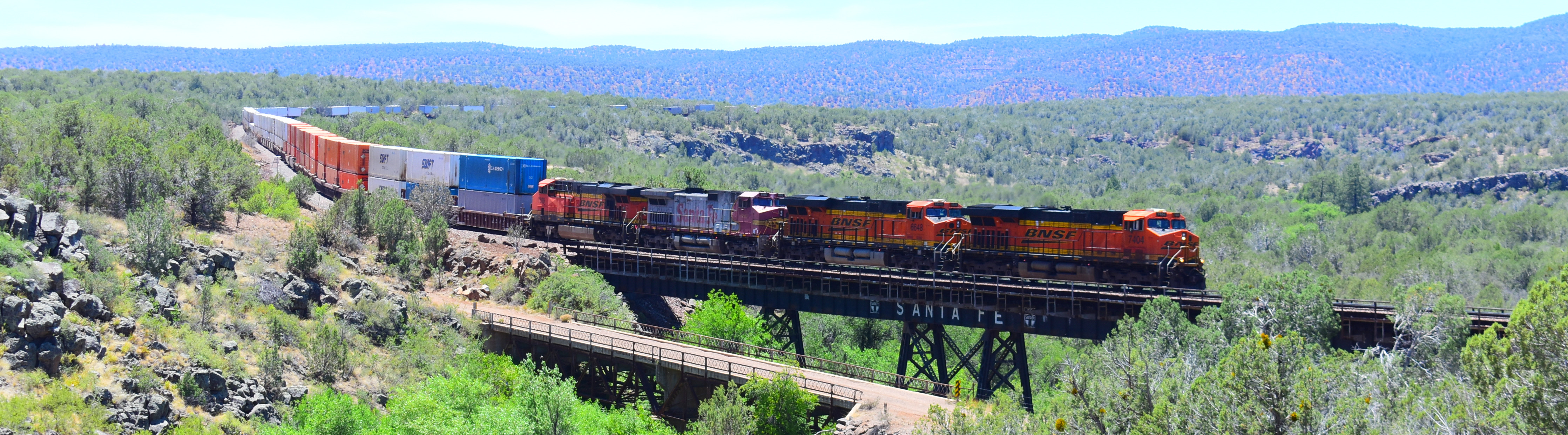
Crossing the Little Hell's Canyon.
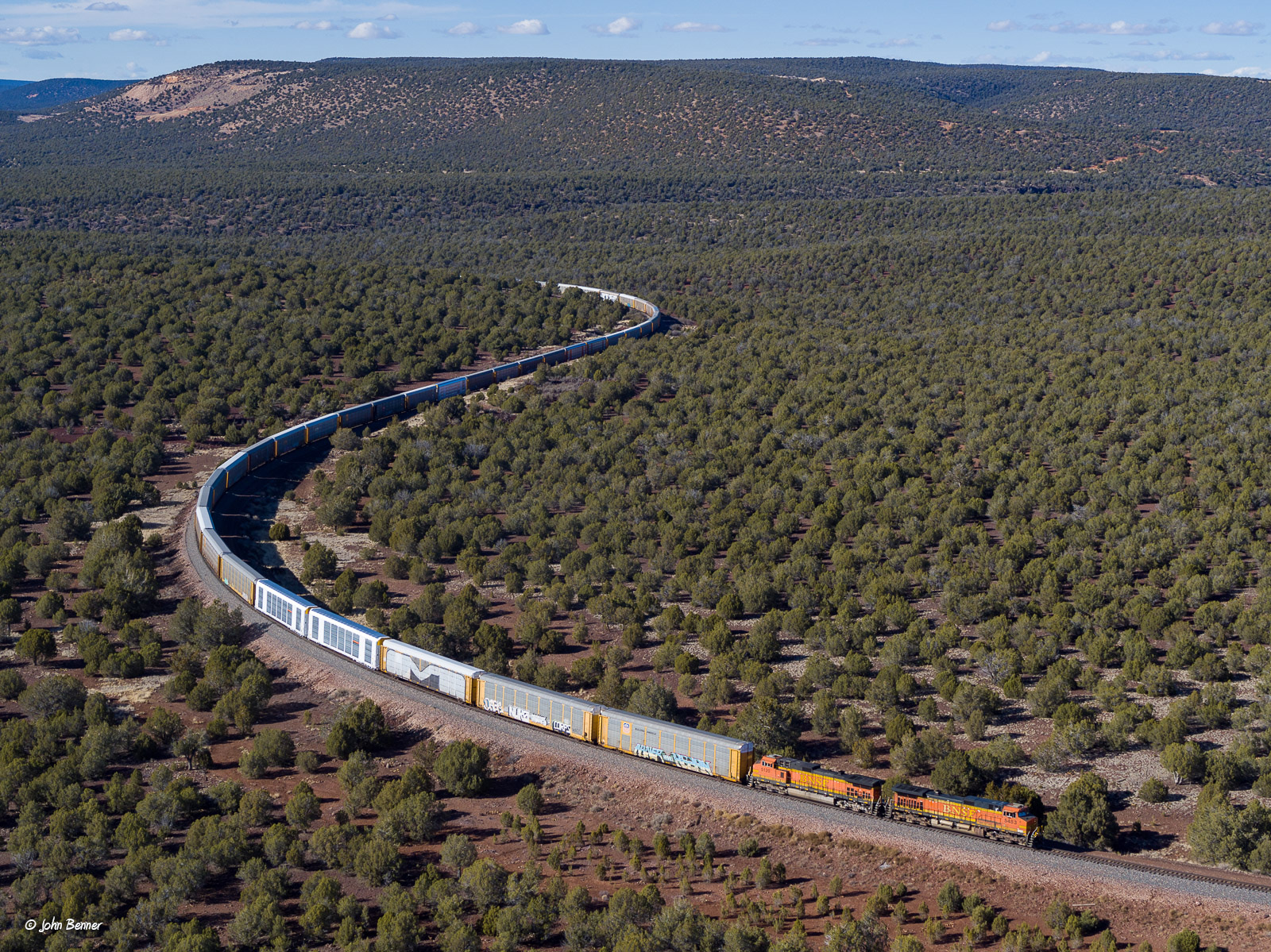
BNSF 5483 East at Daze, AZ
The Beauty of Age & of our Past.
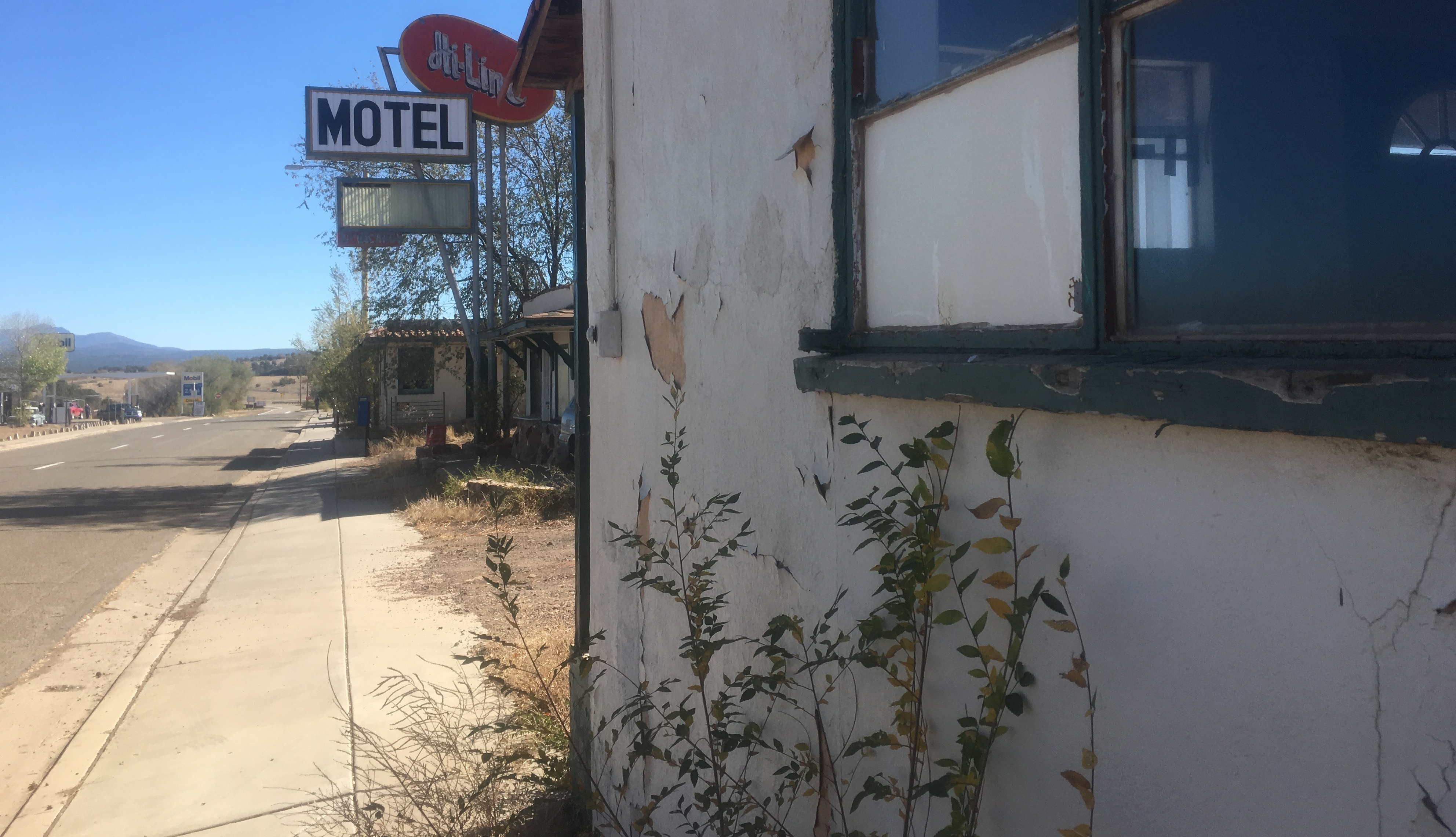
Hi Times at the Hi-Line Motel

Route 66

Old U.S. Hwy 89 Little Hell Canyon Bridge (Yavapai County, Arizona)
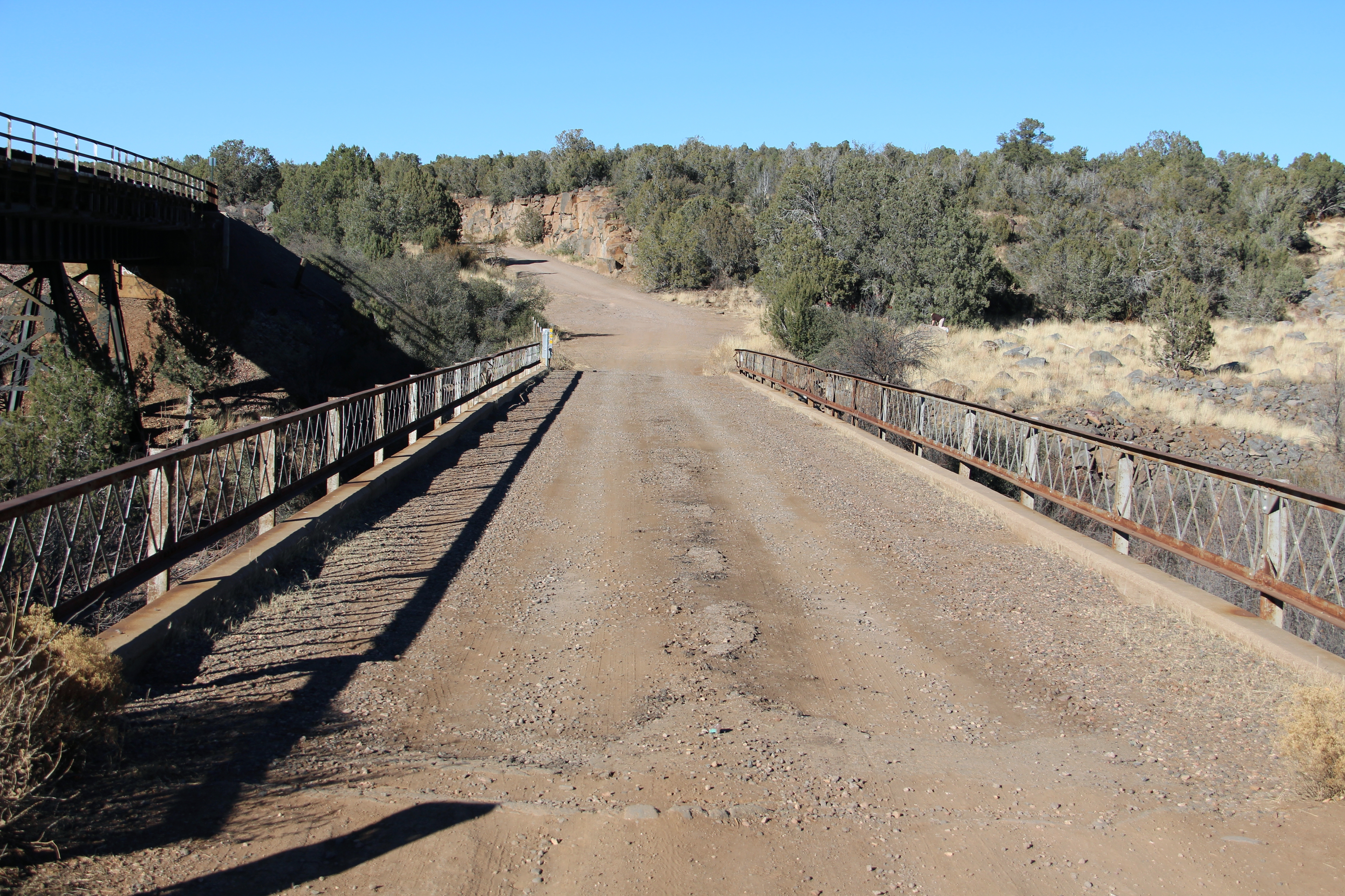
Old U.S. Hwy 89 Little Hell Canyon Bridge (Yavapai County, Arizona)

Old Route 66 Bridge (Yavapai County, Arizona)
Old Route 66 Bridge (Yavapai County, Arizona)
Old Route 66 Bridge (Yavapai County, Arizona)
Old Water Tower (Ash Fork, Arizona)
Something different in town

Ash Fork, Az. 2016
Take That Body Downtown
Camp Road, Camp Rd, Arizona, USA Map
Search another place
Near Places
W Limestone Dr, Paulden, AZ, USA
N Kitty Hawk Ln, Paulden, AZ, USA
West Storm Road, Paulden, AZ, USA
North Cabernet Lane, Paulden, AZ, USA
Williamson Valley Road, Williamson Valley Rd, Arizona, USA
Dillon Wash Rd, Prescott, AZ, USA
W Rambling Rd, Prescott, AZ, USA
W Carriage Ln, Prescott, AZ, USA
N Lower Territory Rd, Prescott, AZ, USA
W Hidden Canyon Rd, Chino Valley, AZ, USA
N Apache Dr, Chino Valley, AZ, USA
Dillon Wash Rd, Prescott, AZ, USA
Peridot Place, Peridot Pl, Arizona, USA
N Cherokee Dr, Chino Valley, AZ, USA
Sunshine Trail, Prescott, AZ, USA
N Hootennanny Rd, Prescott, AZ, USA
Cindy Ln, Chino Valley, AZ, USA
Cindy Ln, Chino Valley, AZ, USA
W Old Glory Rd, Prescott, AZ, USA
North Pauls Spur Drive, Prescott, AZ, USA
Recent Searches
- Sunrise Sunset Times of Red Dog Mine, AK, USA
- Sunrise Sunset Times of Am Bahnhof, Am bhf, Borken, Germany
- Sunrise Sunset Times of 4th St E, Sonoma, CA, USA
- Sunrise Sunset Times of Oakland Ave, Williamsport, PA, USA
- Sunrise Sunset Times of Via Roma, Pieranica CR, Italy
- Sunrise Sunset Times of Clock Tower of Dubrovnik, Grad, Dubrovnik, Croatia
- Sunrise Sunset Times of Trelew, Chubut Province, Argentina
- Sunrise Sunset Times of Hartfords Bluff Cir, Mt Pleasant, SC, USA
- Sunrise Sunset Times of Kita Ward, Kumamoto, Japan
- Sunrise Sunset Times of Pingtan Island, Pingtan County, Fuzhou, China