Sunrise Sunset Times of Blue Grouse Road, Blue Grouse Rd, Idaho, USA
Location: United States > Idaho > White Bird >
Timezone:
America/Boise
Current Time:
2025-07-10 06:28:32
Longitude:
-116.3537124
Latitude:
45.766954
Sunrise Today:
06:06:34 AM
Sunset Today:
09:35:17 PM
Daylength Today:
15h 28m 43s
Sunrise Tomorrow:
06:07:25 AM
Sunset Tomorrow:
09:34:41 PM
Daylength Tomorrow:
15h 27m 16s
Year Show All Dates
| Date | Sunrise | Sunset | Daylength |
|---|---|---|---|
| 01/01/2025 | 08:26:21 AM | 05:12:53 PM | 8h 46m 32s |
| 01/02/2025 | 08:26:17 AM | 05:13:51 PM | 8h 47m 34s |
| 01/03/2025 | 08:26:11 AM | 05:14:52 PM | 8h 48m 41s |
| 01/04/2025 | 08:26:02 AM | 05:15:54 PM | 8h 49m 52s |
| 01/05/2025 | 08:25:50 AM | 05:16:59 PM | 8h 51m 9s |
| 01/06/2025 | 08:25:36 AM | 05:18:04 PM | 8h 52m 28s |
| 01/07/2025 | 08:25:19 AM | 05:19:12 PM | 8h 53m 53s |
| 01/08/2025 | 08:25:00 AM | 05:20:21 PM | 8h 55m 21s |
| 01/09/2025 | 08:24:37 AM | 05:21:32 PM | 8h 56m 55s |
| 01/10/2025 | 08:24:13 AM | 05:22:44 PM | 8h 58m 31s |
| 01/11/2025 | 08:23:45 AM | 05:23:57 PM | 9h 0m 12s |
| 01/12/2025 | 08:23:15 AM | 05:25:12 PM | 9h 1m 57s |
| 01/13/2025 | 08:22:43 AM | 05:26:28 PM | 9h 3m 45s |
| 01/14/2025 | 08:22:08 AM | 05:27:45 PM | 9h 5m 37s |
| 01/15/2025 | 08:21:31 AM | 05:29:03 PM | 9h 7m 32s |
| 01/16/2025 | 08:20:51 AM | 05:30:22 PM | 9h 9m 31s |
| 01/17/2025 | 08:20:09 AM | 05:31:42 PM | 9h 11m 33s |
| 01/18/2025 | 08:19:24 AM | 05:33:04 PM | 9h 13m 40s |
| 01/19/2025 | 08:18:37 AM | 05:34:26 PM | 9h 15m 49s |
| 01/20/2025 | 08:17:48 AM | 05:35:48 PM | 9h 18m 0s |
| 01/21/2025 | 08:16:56 AM | 05:37:12 PM | 9h 20m 16s |
| 01/22/2025 | 08:16:03 AM | 05:38:36 PM | 9h 22m 33s |
| 01/23/2025 | 08:15:07 AM | 05:40:01 PM | 9h 24m 54s |
| 01/24/2025 | 08:14:09 AM | 05:41:26 PM | 9h 27m 17s |
| 01/25/2025 | 08:13:09 AM | 05:42:52 PM | 9h 29m 43s |
| 01/26/2025 | 08:12:06 AM | 05:44:19 PM | 9h 32m 13s |
| 01/27/2025 | 08:11:02 AM | 05:45:45 PM | 9h 34m 43s |
| 01/28/2025 | 08:09:56 AM | 05:47:12 PM | 9h 37m 16s |
| 01/29/2025 | 08:08:48 AM | 05:48:40 PM | 9h 39m 52s |
| 01/30/2025 | 08:07:37 AM | 05:50:08 PM | 9h 42m 31s |
| 01/31/2025 | 08:06:26 AM | 05:51:36 PM | 9h 45m 10s |
| 02/01/2025 | 08:05:12 AM | 05:53:04 PM | 9h 47m 52s |
| 02/02/2025 | 08:03:56 AM | 05:54:32 PM | 9h 50m 36s |
| 02/03/2025 | 08:02:39 AM | 05:56:00 PM | 9h 53m 21s |
| 02/04/2025 | 08:01:20 AM | 05:57:29 PM | 9h 56m 9s |
| 02/05/2025 | 07:59:59 AM | 05:58:57 PM | 9h 58m 58s |
| 02/06/2025 | 07:58:37 AM | 06:00:26 PM | 10h 1m 49s |
| 02/07/2025 | 07:57:13 AM | 06:01:54 PM | 10h 4m 41s |
| 02/08/2025 | 07:55:48 AM | 06:03:23 PM | 10h 7m 35s |
| 02/09/2025 | 07:54:21 AM | 06:04:51 PM | 10h 10m 30s |
| 02/10/2025 | 07:52:53 AM | 06:06:19 PM | 10h 13m 26s |
| 02/11/2025 | 07:51:23 AM | 06:07:47 PM | 10h 16m 24s |
| 02/12/2025 | 07:49:52 AM | 06:09:15 PM | 10h 19m 23s |
| 02/13/2025 | 07:48:20 AM | 06:10:43 PM | 10h 22m 23s |
| 02/14/2025 | 07:46:46 AM | 06:12:11 PM | 10h 25m 25s |
| 02/15/2025 | 07:45:12 AM | 06:13:38 PM | 10h 28m 26s |
| 02/16/2025 | 07:43:36 AM | 06:15:06 PM | 10h 31m 30s |
| 02/17/2025 | 07:41:58 AM | 06:16:33 PM | 10h 34m 35s |
| 02/18/2025 | 07:40:20 AM | 06:17:59 PM | 10h 37m 39s |
| 02/19/2025 | 07:38:41 AM | 06:19:26 PM | 10h 40m 45s |
| 02/20/2025 | 07:37:00 AM | 06:20:52 PM | 10h 43m 52s |
| 02/21/2025 | 07:35:19 AM | 06:22:18 PM | 10h 46m 59s |
| 02/22/2025 | 07:33:37 AM | 06:23:44 PM | 10h 50m 7s |
| 02/23/2025 | 07:31:53 AM | 06:25:10 PM | 10h 53m 17s |
| 02/24/2025 | 07:30:09 AM | 06:26:35 PM | 10h 56m 26s |
| 02/25/2025 | 07:28:24 AM | 06:28:00 PM | 10h 59m 36s |
| 02/26/2025 | 07:26:38 AM | 06:29:24 PM | 11h 2m 46s |
| 02/27/2025 | 07:24:52 AM | 06:30:49 PM | 11h 5m 57s |
| 02/28/2025 | 07:23:04 AM | 06:32:13 PM | 11h 9m 9s |
| 03/01/2025 | 07:21:16 AM | 06:33:37 PM | 11h 12m 21s |
| 03/02/2025 | 07:19:28 AM | 06:35:00 PM | 11h 15m 32s |
| 03/03/2025 | 07:17:38 AM | 06:36:23 PM | 11h 18m 45s |
| 03/04/2025 | 07:15:48 AM | 06:37:46 PM | 11h 21m 58s |
| 03/05/2025 | 07:13:58 AM | 06:39:09 PM | 11h 25m 11s |
| 03/06/2025 | 07:12:07 AM | 06:40:32 PM | 11h 28m 25s |
| 03/07/2025 | 07:10:15 AM | 06:41:54 PM | 11h 31m 39s |
| 03/08/2025 | 07:08:23 AM | 06:43:16 PM | 11h 34m 53s |
| 03/09/2025 | 08:06:35 AM | 07:44:34 PM | 11h 37m 59s |
| 03/10/2025 | 08:04:42 AM | 07:45:55 PM | 11h 41m 13s |
| 03/11/2025 | 08:02:49 AM | 07:47:17 PM | 11h 44m 28s |
| 03/12/2025 | 08:00:55 AM | 07:48:38 PM | 11h 47m 43s |
| 03/13/2025 | 07:59:01 AM | 07:49:58 PM | 11h 50m 57s |
| 03/14/2025 | 07:57:07 AM | 07:51:19 PM | 11h 54m 12s |
| 03/15/2025 | 07:55:13 AM | 07:52:40 PM | 11h 57m 27s |
| 03/16/2025 | 07:53:18 AM | 07:54:00 PM | 12h 0m 42s |
| 03/17/2025 | 07:51:23 AM | 07:55:20 PM | 12h 3m 57s |
| 03/18/2025 | 07:49:28 AM | 07:56:40 PM | 12h 7m 12s |
| 03/19/2025 | 07:47:33 AM | 07:57:59 PM | 12h 10m 26s |
| 03/20/2025 | 07:45:38 AM | 07:59:19 PM | 12h 13m 41s |
| 03/21/2025 | 07:43:42 AM | 08:00:38 PM | 12h 16m 56s |
| 03/22/2025 | 07:41:47 AM | 08:01:58 PM | 12h 20m 11s |
| 03/23/2025 | 07:39:52 AM | 08:03:17 PM | 12h 23m 25s |
| 03/24/2025 | 07:37:57 AM | 08:04:36 PM | 12h 26m 39s |
| 03/25/2025 | 07:36:01 AM | 08:05:55 PM | 12h 29m 54s |
| 03/26/2025 | 07:34:06 AM | 08:07:14 PM | 12h 33m 8s |
| 03/27/2025 | 07:32:11 AM | 08:08:33 PM | 12h 36m 22s |
| 03/28/2025 | 07:30:16 AM | 08:09:51 PM | 12h 39m 35s |
| 03/29/2025 | 07:28:22 AM | 08:11:10 PM | 12h 42m 48s |
| 03/30/2025 | 07:26:27 AM | 08:12:29 PM | 12h 46m 2s |
| 03/31/2025 | 07:24:33 AM | 08:13:47 PM | 12h 49m 14s |
| 04/01/2025 | 07:22:39 AM | 08:15:06 PM | 12h 52m 27s |
| 04/02/2025 | 07:20:46 AM | 08:16:24 PM | 12h 55m 38s |
| 04/03/2025 | 07:18:53 AM | 08:17:43 PM | 12h 58m 50s |
| 04/04/2025 | 07:17:00 AM | 08:19:01 PM | 13h 2m 1s |
| 04/05/2025 | 07:15:07 AM | 08:20:20 PM | 13h 5m 13s |
| 04/06/2025 | 07:13:15 AM | 08:21:38 PM | 13h 8m 23s |
| 04/07/2025 | 07:11:24 AM | 08:22:56 PM | 13h 11m 32s |
| 04/08/2025 | 07:09:33 AM | 08:24:15 PM | 13h 14m 42s |
| 04/09/2025 | 07:07:42 AM | 08:25:33 PM | 13h 17m 51s |
| 04/10/2025 | 07:05:52 AM | 08:26:52 PM | 13h 21m 0s |
| 04/11/2025 | 07:04:03 AM | 08:28:10 PM | 13h 24m 7s |
| 04/12/2025 | 07:02:14 AM | 08:29:28 PM | 13h 27m 14s |
| 04/13/2025 | 07:00:26 AM | 08:30:47 PM | 13h 30m 21s |
| 04/14/2025 | 06:58:39 AM | 08:32:05 PM | 13h 33m 26s |
| 04/15/2025 | 06:56:52 AM | 08:33:23 PM | 13h 36m 31s |
| 04/16/2025 | 06:55:07 AM | 08:34:42 PM | 13h 39m 35s |
| 04/17/2025 | 06:53:22 AM | 08:36:00 PM | 13h 42m 38s |
| 04/18/2025 | 06:51:37 AM | 08:37:18 PM | 13h 45m 41s |
| 04/19/2025 | 06:49:54 AM | 08:38:36 PM | 13h 48m 42s |
| 04/20/2025 | 06:48:12 AM | 08:39:55 PM | 13h 51m 43s |
| 04/21/2025 | 06:46:30 AM | 08:41:13 PM | 13h 54m 43s |
| 04/22/2025 | 06:44:50 AM | 08:42:31 PM | 13h 57m 41s |
| 04/23/2025 | 06:43:10 AM | 08:43:49 PM | 14h 0m 39s |
| 04/24/2025 | 06:41:32 AM | 08:45:07 PM | 14h 3m 35s |
| 04/25/2025 | 06:39:55 AM | 08:46:24 PM | 14h 6m 29s |
| 04/26/2025 | 06:38:19 AM | 08:47:42 PM | 14h 9m 23s |
| 04/27/2025 | 06:36:43 AM | 08:49:00 PM | 14h 12m 17s |
| 04/28/2025 | 06:35:10 AM | 08:50:17 PM | 14h 15m 7s |
| 04/29/2025 | 06:33:37 AM | 08:51:34 PM | 14h 17m 57s |
| 04/30/2025 | 06:32:06 AM | 08:52:51 PM | 14h 20m 45s |
| 05/01/2025 | 06:30:36 AM | 08:54:08 PM | 14h 23m 32s |
| 05/02/2025 | 06:29:07 AM | 08:55:24 PM | 14h 26m 17s |
| 05/03/2025 | 06:27:40 AM | 08:56:41 PM | 14h 29m 1s |
| 05/04/2025 | 06:26:14 AM | 08:57:56 PM | 14h 31m 42s |
| 05/05/2025 | 06:24:49 AM | 08:59:12 PM | 14h 34m 23s |
| 05/06/2025 | 06:23:27 AM | 09:00:27 PM | 14h 37m 0s |
| 05/07/2025 | 06:22:05 AM | 09:01:42 PM | 14h 39m 37s |
| 05/08/2025 | 06:20:45 AM | 09:02:57 PM | 14h 42m 12s |
| 05/09/2025 | 06:19:27 AM | 09:04:10 PM | 14h 44m 43s |
| 05/10/2025 | 06:18:10 AM | 09:05:24 PM | 14h 47m 14s |
| 05/11/2025 | 06:16:56 AM | 09:06:37 PM | 14h 49m 41s |
| 05/12/2025 | 06:15:42 AM | 09:07:49 PM | 14h 52m 7s |
| 05/13/2025 | 06:14:31 AM | 09:09:01 PM | 14h 54m 30s |
| 05/14/2025 | 06:13:21 AM | 09:10:12 PM | 14h 56m 51s |
| 05/15/2025 | 06:12:14 AM | 09:11:22 PM | 14h 59m 8s |
| 05/16/2025 | 06:11:08 AM | 09:12:32 PM | 15h 1m 24s |
| 05/17/2025 | 06:10:04 AM | 09:13:41 PM | 15h 3m 37s |
| 05/18/2025 | 06:09:01 AM | 09:14:49 PM | 15h 5m 48s |
| 05/19/2025 | 06:08:01 AM | 09:15:56 PM | 15h 7m 55s |
| 05/20/2025 | 06:07:03 AM | 09:17:02 PM | 15h 9m 59s |
| 05/21/2025 | 06:06:07 AM | 09:18:07 PM | 15h 12m 0s |
| 05/22/2025 | 06:05:13 AM | 09:19:11 PM | 15h 13m 58s |
| 05/23/2025 | 06:04:21 AM | 09:20:14 PM | 15h 15m 53s |
| 05/24/2025 | 06:03:31 AM | 09:21:16 PM | 15h 17m 45s |
| 05/25/2025 | 06:02:43 AM | 09:22:17 PM | 15h 19m 34s |
| 05/26/2025 | 06:01:58 AM | 09:23:17 PM | 15h 21m 19s |
| 05/27/2025 | 06:01:15 AM | 09:24:15 PM | 15h 23m 0s |
| 05/28/2025 | 06:00:34 AM | 09:25:12 PM | 15h 24m 38s |
| 05/29/2025 | 05:59:55 AM | 09:26:08 PM | 15h 26m 13s |
| 05/30/2025 | 05:59:18 AM | 09:27:02 PM | 15h 27m 44s |
| 05/31/2025 | 05:58:44 AM | 09:27:54 PM | 15h 29m 10s |
| 06/01/2025 | 05:58:12 AM | 09:28:45 PM | 15h 30m 33s |
| 06/02/2025 | 05:57:43 AM | 09:29:35 PM | 15h 31m 52s |
| 06/03/2025 | 05:57:15 AM | 09:30:23 PM | 15h 33m 8s |
| 06/04/2025 | 05:56:50 AM | 09:31:09 PM | 15h 34m 19s |
| 06/05/2025 | 05:56:28 AM | 09:31:53 PM | 15h 35m 25s |
| 06/06/2025 | 05:56:08 AM | 09:32:36 PM | 15h 36m 28s |
| 06/07/2025 | 05:55:50 AM | 09:33:17 PM | 15h 37m 27s |
| 06/08/2025 | 05:55:35 AM | 09:33:56 PM | 15h 38m 21s |
| 06/09/2025 | 05:55:22 AM | 09:34:32 PM | 15h 39m 10s |
| 06/10/2025 | 05:55:11 AM | 09:35:07 PM | 15h 39m 56s |
| 06/11/2025 | 05:55:03 AM | 09:35:40 PM | 15h 40m 37s |
| 06/12/2025 | 05:54:57 AM | 09:36:11 PM | 15h 41m 14s |
| 06/13/2025 | 05:54:54 AM | 09:36:40 PM | 15h 41m 46s |
| 06/14/2025 | 05:54:53 AM | 09:37:07 PM | 15h 42m 14s |
| 06/15/2025 | 05:54:54 AM | 09:37:31 PM | 15h 42m 37s |
| 06/16/2025 | 05:54:58 AM | 09:37:53 PM | 15h 42m 55s |
| 06/17/2025 | 05:55:04 AM | 09:38:13 PM | 15h 43m 9s |
| 06/18/2025 | 05:55:13 AM | 09:38:31 PM | 15h 43m 18s |
| 06/19/2025 | 05:55:23 AM | 09:38:47 PM | 15h 43m 24s |
| 06/20/2025 | 05:55:36 AM | 09:39:00 PM | 15h 43m 24s |
| 06/21/2025 | 05:55:52 AM | 09:39:10 PM | 15h 43m 18s |
| 06/22/2025 | 05:56:09 AM | 09:39:19 PM | 15h 43m 10s |
| 06/23/2025 | 05:56:29 AM | 09:39:25 PM | 15h 42m 56s |
| 06/24/2025 | 05:56:51 AM | 09:39:29 PM | 15h 42m 38s |
| 06/25/2025 | 05:57:15 AM | 09:39:30 PM | 15h 42m 15s |
| 06/26/2025 | 05:57:41 AM | 09:39:29 PM | 15h 41m 48s |
| 06/27/2025 | 05:58:09 AM | 09:39:25 PM | 15h 41m 16s |
| 06/28/2025 | 05:58:39 AM | 09:39:19 PM | 15h 40m 40s |
| 06/29/2025 | 05:59:11 AM | 09:39:10 PM | 15h 39m 59s |
| 06/30/2025 | 05:59:46 AM | 09:38:59 PM | 15h 39m 13s |
| 07/01/2025 | 06:00:22 AM | 09:38:46 PM | 15h 38m 24s |
| 07/02/2025 | 06:00:59 AM | 09:38:30 PM | 15h 37m 31s |
| 07/03/2025 | 06:01:39 AM | 09:38:12 PM | 15h 36m 33s |
| 07/04/2025 | 06:02:21 AM | 09:37:51 PM | 15h 35m 30s |
| 07/05/2025 | 06:03:04 AM | 09:37:28 PM | 15h 34m 24s |
| 07/06/2025 | 06:03:49 AM | 09:37:02 PM | 15h 33m 13s |
| 07/07/2025 | 06:04:35 AM | 09:36:35 PM | 15h 32m 0s |
| 07/08/2025 | 06:05:23 AM | 09:36:04 PM | 15h 30m 41s |
| 07/09/2025 | 06:06:13 AM | 09:35:32 PM | 15h 29m 19s |
| 07/10/2025 | 06:07:04 AM | 09:34:57 PM | 15h 27m 53s |
| 07/11/2025 | 06:07:56 AM | 09:34:19 PM | 15h 26m 23s |
| 07/12/2025 | 06:08:50 AM | 09:33:40 PM | 15h 24m 50s |
| 07/13/2025 | 06:09:45 AM | 09:32:58 PM | 15h 23m 13s |
| 07/14/2025 | 06:10:41 AM | 09:32:13 PM | 15h 21m 32s |
| 07/15/2025 | 06:11:39 AM | 09:31:27 PM | 15h 19m 48s |
| 07/16/2025 | 06:12:37 AM | 09:30:38 PM | 15h 18m 1s |
| 07/17/2025 | 06:13:37 AM | 09:29:48 PM | 15h 16m 11s |
| 07/18/2025 | 06:14:38 AM | 09:28:55 PM | 15h 14m 17s |
| 07/19/2025 | 06:15:40 AM | 09:28:00 PM | 15h 12m 20s |
| 07/20/2025 | 06:16:43 AM | 09:27:02 PM | 15h 10m 19s |
| 07/21/2025 | 06:17:46 AM | 09:26:03 PM | 15h 8m 17s |
| 07/22/2025 | 06:18:51 AM | 09:25:02 PM | 15h 6m 11s |
| 07/23/2025 | 06:19:56 AM | 09:23:59 PM | 15h 4m 3s |
| 07/24/2025 | 06:21:02 AM | 09:22:54 PM | 15h 1m 52s |
| 07/25/2025 | 06:22:09 AM | 09:21:47 PM | 14h 59m 38s |
| 07/26/2025 | 06:23:17 AM | 09:20:38 PM | 14h 57m 21s |
| 07/27/2025 | 06:24:25 AM | 09:19:27 PM | 14h 55m 2s |
| 07/28/2025 | 06:25:34 AM | 09:18:15 PM | 14h 52m 41s |
| 07/29/2025 | 06:26:43 AM | 09:17:00 PM | 14h 50m 17s |
| 07/30/2025 | 06:27:53 AM | 09:15:44 PM | 14h 47m 51s |
| 07/31/2025 | 06:29:03 AM | 09:14:27 PM | 14h 45m 24s |
| 08/01/2025 | 06:30:14 AM | 09:13:07 PM | 14h 42m 53s |
| 08/02/2025 | 06:31:25 AM | 09:11:46 PM | 14h 40m 21s |
| 08/03/2025 | 06:32:36 AM | 09:10:24 PM | 14h 37m 48s |
| 08/04/2025 | 06:33:48 AM | 09:09:00 PM | 14h 35m 12s |
| 08/05/2025 | 06:35:00 AM | 09:07:34 PM | 14h 32m 34s |
| 08/06/2025 | 06:36:13 AM | 09:06:07 PM | 14h 29m 54s |
| 08/07/2025 | 06:37:25 AM | 09:04:39 PM | 14h 27m 14s |
| 08/08/2025 | 06:38:38 AM | 09:03:09 PM | 14h 24m 31s |
| 08/09/2025 | 06:39:51 AM | 09:01:37 PM | 14h 21m 46s |
| 08/10/2025 | 06:41:04 AM | 09:00:05 PM | 14h 19m 1s |
| 08/11/2025 | 06:42:18 AM | 08:58:31 PM | 14h 16m 13s |
| 08/12/2025 | 06:43:31 AM | 08:56:56 PM | 14h 13m 25s |
| 08/13/2025 | 06:44:45 AM | 08:55:20 PM | 14h 10m 35s |
| 08/14/2025 | 06:45:59 AM | 08:53:42 PM | 14h 7m 43s |
| 08/15/2025 | 06:47:13 AM | 08:52:04 PM | 14h 4m 51s |
| 08/16/2025 | 06:48:26 AM | 08:50:24 PM | 14h 1m 58s |
| 08/17/2025 | 06:49:40 AM | 08:48:43 PM | 13h 59m 3s |
| 08/18/2025 | 06:50:54 AM | 08:47:02 PM | 13h 56m 8s |
| 08/19/2025 | 06:52:08 AM | 08:45:19 PM | 13h 53m 11s |
| 08/20/2025 | 06:53:22 AM | 08:43:35 PM | 13h 50m 13s |
| 08/21/2025 | 06:54:36 AM | 08:41:51 PM | 13h 47m 15s |
| 08/22/2025 | 06:55:50 AM | 08:40:05 PM | 13h 44m 15s |
| 08/23/2025 | 06:57:04 AM | 08:38:19 PM | 13h 41m 15s |
| 08/24/2025 | 06:58:18 AM | 08:36:32 PM | 13h 38m 14s |
| 08/25/2025 | 06:59:32 AM | 08:34:44 PM | 13h 35m 12s |
| 08/26/2025 | 07:00:46 AM | 08:32:55 PM | 13h 32m 9s |
| 08/27/2025 | 07:02:00 AM | 08:31:06 PM | 13h 29m 6s |
| 08/28/2025 | 07:03:14 AM | 08:29:15 PM | 13h 26m 1s |
| 08/29/2025 | 07:04:28 AM | 08:27:25 PM | 13h 22m 57s |
| 08/30/2025 | 07:05:42 AM | 08:25:33 PM | 13h 19m 51s |
| 08/31/2025 | 07:06:56 AM | 08:23:41 PM | 13h 16m 45s |
| 09/01/2025 | 07:08:10 AM | 08:21:49 PM | 13h 13m 39s |
| 09/02/2025 | 07:09:23 AM | 08:19:56 PM | 13h 10m 33s |
| 09/03/2025 | 07:10:37 AM | 08:18:02 PM | 13h 7m 25s |
| 09/04/2025 | 07:11:51 AM | 08:16:08 PM | 13h 4m 17s |
| 09/05/2025 | 07:13:05 AM | 08:14:14 PM | 13h 1m 9s |
| 09/06/2025 | 07:14:18 AM | 08:12:19 PM | 12h 58m 1s |
| 09/07/2025 | 07:15:32 AM | 08:10:24 PM | 12h 54m 52s |
| 09/08/2025 | 07:16:46 AM | 08:08:29 PM | 12h 51m 43s |
| 09/09/2025 | 07:18:00 AM | 08:06:33 PM | 12h 48m 33s |
| 09/10/2025 | 07:19:14 AM | 08:04:37 PM | 12h 45m 23s |
| 09/11/2025 | 07:20:28 AM | 08:02:40 PM | 12h 42m 12s |
| 09/12/2025 | 07:21:41 AM | 08:00:44 PM | 12h 39m 3s |
| 09/13/2025 | 07:22:55 AM | 07:58:47 PM | 12h 35m 52s |
| 09/14/2025 | 07:24:09 AM | 07:56:50 PM | 12h 32m 41s |
| 09/15/2025 | 07:25:23 AM | 07:54:53 PM | 12h 29m 30s |
| 09/16/2025 | 07:26:38 AM | 07:52:56 PM | 12h 26m 18s |
| 09/17/2025 | 07:27:52 AM | 07:50:59 PM | 12h 23m 7s |
| 09/18/2025 | 07:29:06 AM | 07:49:02 PM | 12h 19m 56s |
| 09/19/2025 | 07:30:21 AM | 07:47:05 PM | 12h 16m 44s |
| 09/20/2025 | 07:31:35 AM | 07:45:08 PM | 12h 13m 33s |
| 09/21/2025 | 07:32:50 AM | 07:43:11 PM | 12h 10m 21s |
| 09/22/2025 | 07:34:05 AM | 07:41:14 PM | 12h 7m 9s |
| 09/23/2025 | 07:35:20 AM | 07:39:17 PM | 12h 3m 57s |
| 09/24/2025 | 07:36:35 AM | 07:37:20 PM | 12h 0m 45s |
| 09/25/2025 | 07:37:51 AM | 07:35:23 PM | 11h 57m 32s |
| 09/26/2025 | 07:39:06 AM | 07:33:27 PM | 11h 54m 21s |
| 09/27/2025 | 07:40:22 AM | 07:31:31 PM | 11h 51m 9s |
| 09/28/2025 | 07:41:38 AM | 07:29:35 PM | 11h 47m 57s |
| 09/29/2025 | 07:42:54 AM | 07:27:40 PM | 11h 44m 46s |
| 09/30/2025 | 07:44:10 AM | 07:25:44 PM | 11h 41m 34s |
| 10/01/2025 | 07:45:27 AM | 07:23:50 PM | 11h 38m 23s |
| 10/02/2025 | 07:46:44 AM | 07:21:55 PM | 11h 35m 11s |
| 10/03/2025 | 07:48:01 AM | 07:20:01 PM | 11h 32m 0s |
| 10/04/2025 | 07:49:18 AM | 07:18:08 PM | 11h 28m 50s |
| 10/05/2025 | 07:50:36 AM | 07:16:15 PM | 11h 25m 39s |
| 10/06/2025 | 07:51:54 AM | 07:14:22 PM | 11h 22m 28s |
| 10/07/2025 | 07:53:12 AM | 07:12:30 PM | 11h 19m 18s |
| 10/08/2025 | 07:54:31 AM | 07:10:39 PM | 11h 16m 8s |
| 10/09/2025 | 07:55:49 AM | 07:08:48 PM | 11h 12m 59s |
| 10/10/2025 | 07:57:09 AM | 07:06:58 PM | 11h 9m 49s |
| 10/11/2025 | 07:58:28 AM | 07:05:09 PM | 11h 6m 41s |
| 10/12/2025 | 07:59:48 AM | 07:03:20 PM | 11h 3m 32s |
| 10/13/2025 | 08:01:08 AM | 07:01:32 PM | 11h 0m 24s |
| 10/14/2025 | 08:02:28 AM | 06:59:45 PM | 10h 57m 17s |
| 10/15/2025 | 08:03:49 AM | 06:57:59 PM | 10h 54m 10s |
| 10/16/2025 | 08:05:09 AM | 06:56:13 PM | 10h 51m 4s |
| 10/17/2025 | 08:06:31 AM | 06:54:29 PM | 10h 47m 58s |
| 10/18/2025 | 08:07:52 AM | 06:52:45 PM | 10h 44m 53s |
| 10/19/2025 | 08:09:14 AM | 06:51:03 PM | 10h 41m 49s |
| 10/20/2025 | 08:10:36 AM | 06:49:21 PM | 10h 38m 45s |
| 10/21/2025 | 08:11:59 AM | 06:47:41 PM | 10h 35m 42s |
| 10/22/2025 | 08:13:21 AM | 06:46:01 PM | 10h 32m 40s |
| 10/23/2025 | 08:14:44 AM | 06:44:23 PM | 10h 29m 39s |
| 10/24/2025 | 08:16:07 AM | 06:42:46 PM | 10h 26m 39s |
| 10/25/2025 | 08:17:31 AM | 06:41:10 PM | 10h 23m 39s |
| 10/26/2025 | 08:18:54 AM | 06:39:35 PM | 10h 20m 41s |
| 10/27/2025 | 08:20:18 AM | 06:38:02 PM | 10h 17m 44s |
| 10/28/2025 | 08:21:42 AM | 06:36:30 PM | 10h 14m 48s |
| 10/29/2025 | 08:23:07 AM | 06:34:59 PM | 10h 11m 52s |
| 10/30/2025 | 08:24:31 AM | 06:33:30 PM | 10h 8m 59s |
| 10/31/2025 | 08:25:56 AM | 06:32:02 PM | 10h 6m 6s |
| 11/01/2025 | 08:27:20 AM | 06:30:36 PM | 10h 3m 16s |
| 11/02/2025 | 07:28:49 AM | 05:29:07 PM | 10h 0m 18s |
| 11/03/2025 | 07:30:13 AM | 05:27:44 PM | 9h 57m 31s |
| 11/04/2025 | 07:31:38 AM | 05:26:23 PM | 9h 54m 45s |
| 11/05/2025 | 07:33:03 AM | 05:25:03 PM | 9h 52m 0s |
| 11/06/2025 | 07:34:28 AM | 05:23:45 PM | 9h 49m 17s |
| 11/07/2025 | 07:35:53 AM | 05:22:28 PM | 9h 46m 35s |
| 11/08/2025 | 07:37:17 AM | 05:21:14 PM | 9h 43m 57s |
| 11/09/2025 | 07:38:42 AM | 05:20:01 PM | 9h 41m 19s |
| 11/10/2025 | 07:40:06 AM | 05:18:50 PM | 9h 38m 44s |
| 11/11/2025 | 07:41:30 AM | 05:17:41 PM | 9h 36m 11s |
| 11/12/2025 | 07:42:54 AM | 05:16:34 PM | 9h 33m 40s |
| 11/13/2025 | 07:44:18 AM | 05:15:29 PM | 9h 31m 11s |
| 11/14/2025 | 07:45:41 AM | 05:14:26 PM | 9h 28m 45s |
| 11/15/2025 | 07:47:04 AM | 05:13:25 PM | 9h 26m 21s |
| 11/16/2025 | 07:48:26 AM | 05:12:26 PM | 9h 24m 0s |
| 11/17/2025 | 07:49:48 AM | 05:11:29 PM | 9h 21m 41s |
| 11/18/2025 | 07:51:09 AM | 05:10:35 PM | 9h 19m 26s |
| 11/19/2025 | 07:52:30 AM | 05:09:43 PM | 9h 17m 13s |
| 11/20/2025 | 07:53:50 AM | 05:08:53 PM | 9h 15m 3s |
| 11/21/2025 | 07:55:09 AM | 05:08:05 PM | 9h 12m 56s |
| 11/22/2025 | 07:56:28 AM | 05:07:20 PM | 9h 10m 52s |
| 11/23/2025 | 07:57:46 AM | 05:06:37 PM | 9h 8m 51s |
| 11/24/2025 | 07:59:02 AM | 05:05:57 PM | 9h 6m 55s |
| 11/25/2025 | 08:00:18 AM | 05:05:19 PM | 9h 5m 1s |
| 11/26/2025 | 08:01:33 AM | 05:04:43 PM | 9h 3m 10s |
| 11/27/2025 | 08:02:46 AM | 05:04:11 PM | 9h 1m 25s |
| 11/28/2025 | 08:03:59 AM | 05:03:40 PM | 8h 59m 41s |
| 11/29/2025 | 08:05:10 AM | 05:03:12 PM | 8h 58m 2s |
| 11/30/2025 | 08:06:20 AM | 05:02:47 PM | 8h 56m 27s |
| 12/01/2025 | 08:07:29 AM | 05:02:25 PM | 8h 54m 56s |
| 12/02/2025 | 08:08:36 AM | 05:02:05 PM | 8h 53m 29s |
| 12/03/2025 | 08:09:41 AM | 05:01:48 PM | 8h 52m 7s |
| 12/04/2025 | 08:10:46 AM | 05:01:33 PM | 8h 50m 47s |
| 12/05/2025 | 08:11:48 AM | 05:01:21 PM | 8h 49m 33s |
| 12/06/2025 | 08:12:49 AM | 05:01:12 PM | 8h 48m 23s |
| 12/07/2025 | 08:13:48 AM | 05:01:06 PM | 8h 47m 18s |
| 12/08/2025 | 08:14:45 AM | 05:01:02 PM | 8h 46m 17s |
| 12/09/2025 | 08:15:40 AM | 05:01:01 PM | 8h 45m 21s |
| 12/10/2025 | 08:16:34 AM | 05:01:03 PM | 8h 44m 29s |
| 12/11/2025 | 08:17:25 AM | 05:01:07 PM | 8h 43m 42s |
| 12/12/2025 | 08:18:15 AM | 05:01:15 PM | 8h 43m 0s |
| 12/13/2025 | 08:19:02 AM | 05:01:25 PM | 8h 42m 23s |
| 12/14/2025 | 08:19:47 AM | 05:01:37 PM | 8h 41m 50s |
| 12/15/2025 | 08:20:30 AM | 05:01:53 PM | 8h 41m 23s |
| 12/16/2025 | 08:21:10 AM | 05:02:11 PM | 8h 41m 1s |
| 12/17/2025 | 08:21:49 AM | 05:02:31 PM | 8h 40m 42s |
| 12/18/2025 | 08:22:24 AM | 05:02:55 PM | 8h 40m 31s |
| 12/19/2025 | 08:22:58 AM | 05:03:21 PM | 8h 40m 23s |
| 12/20/2025 | 08:23:29 AM | 05:03:49 PM | 8h 40m 20s |
| 12/21/2025 | 08:23:58 AM | 05:04:20 PM | 8h 40m 22s |
| 12/22/2025 | 08:24:24 AM | 05:04:54 PM | 8h 40m 30s |
| 12/23/2025 | 08:24:47 AM | 05:05:30 PM | 8h 40m 43s |
| 12/24/2025 | 08:25:08 AM | 05:06:09 PM | 8h 41m 1s |
| 12/25/2025 | 08:25:27 AM | 05:06:49 PM | 8h 41m 22s |
| 12/26/2025 | 08:25:42 AM | 05:07:33 PM | 8h 41m 51s |
| 12/27/2025 | 08:25:55 AM | 05:08:18 PM | 8h 42m 23s |
| 12/28/2025 | 08:26:06 AM | 05:09:06 PM | 8h 43m 0s |
| 12/29/2025 | 08:26:14 AM | 05:09:56 PM | 8h 43m 42s |
| 12/30/2025 | 08:26:19 AM | 05:10:48 PM | 8h 44m 29s |
| 12/31/2025 | 08:26:21 AM | 05:11:42 PM | 8h 45m 21s |
Sunrise & Sunset Photos

Orange sunseting Snake Rio

Beyond earlier limits

Sunrise at Cindy & Jay's

Whitebird-DSC_0293-WM

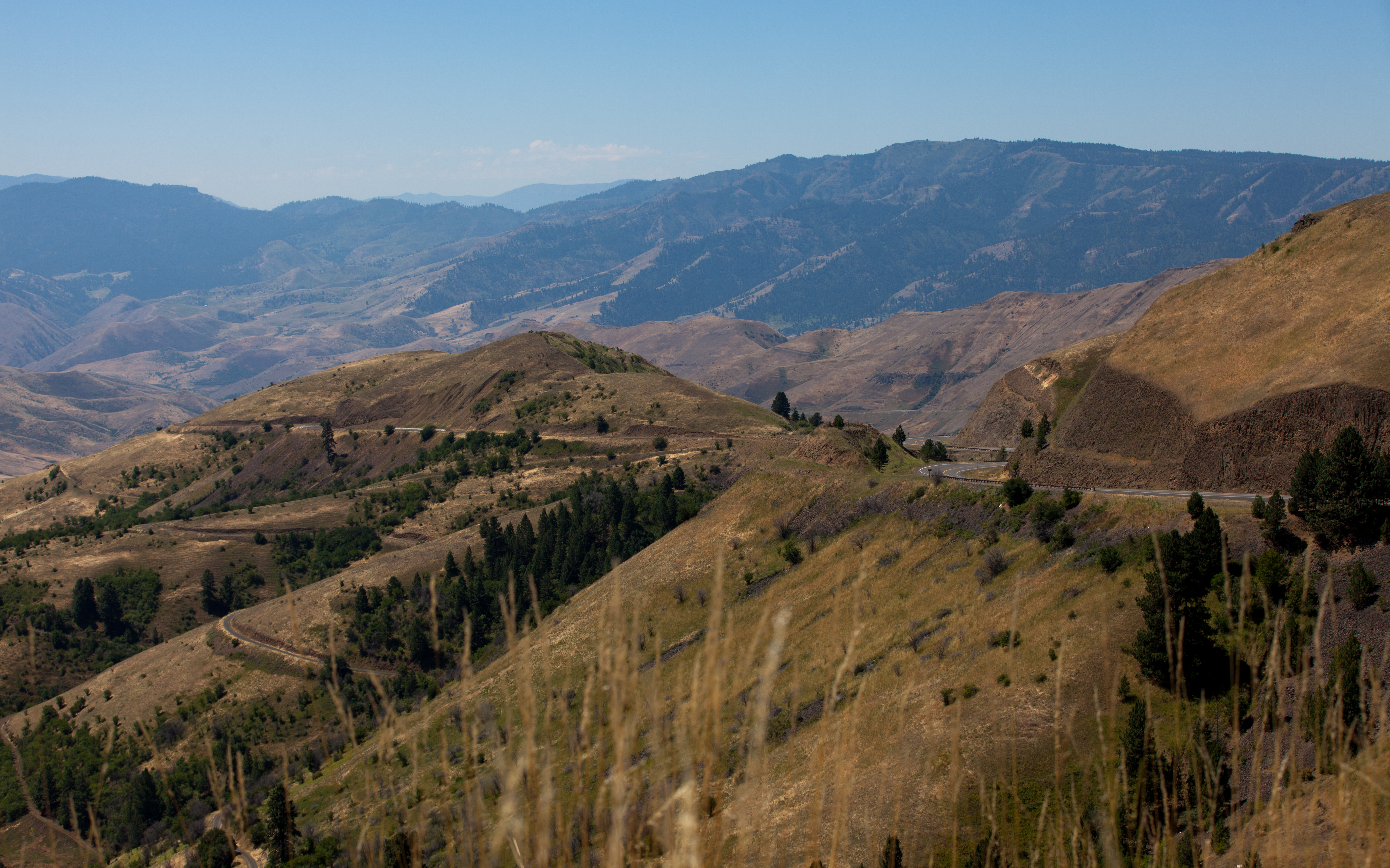
Pittsburg Saddle

One Switchback of many on White Bird Hill - a steep grade on Hwy 95 Central Idaho just above the time line 120817-094126 C4Tc

Nez Perce National Historical Park

Nez Perce National Historical Park

Rafting Lower Salmon 20120722-104.jpg
Rafting Lower Salmon 20120722-090.jpg

Rafting Lower Salmon 20120722-146.jpg

Rafting Lower Salmon 20120722-133.jpg
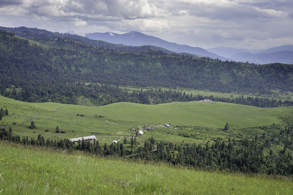
Upper meadow

Rafting Lower Salmon 20120722-105.jpg

Driving up to Canada.
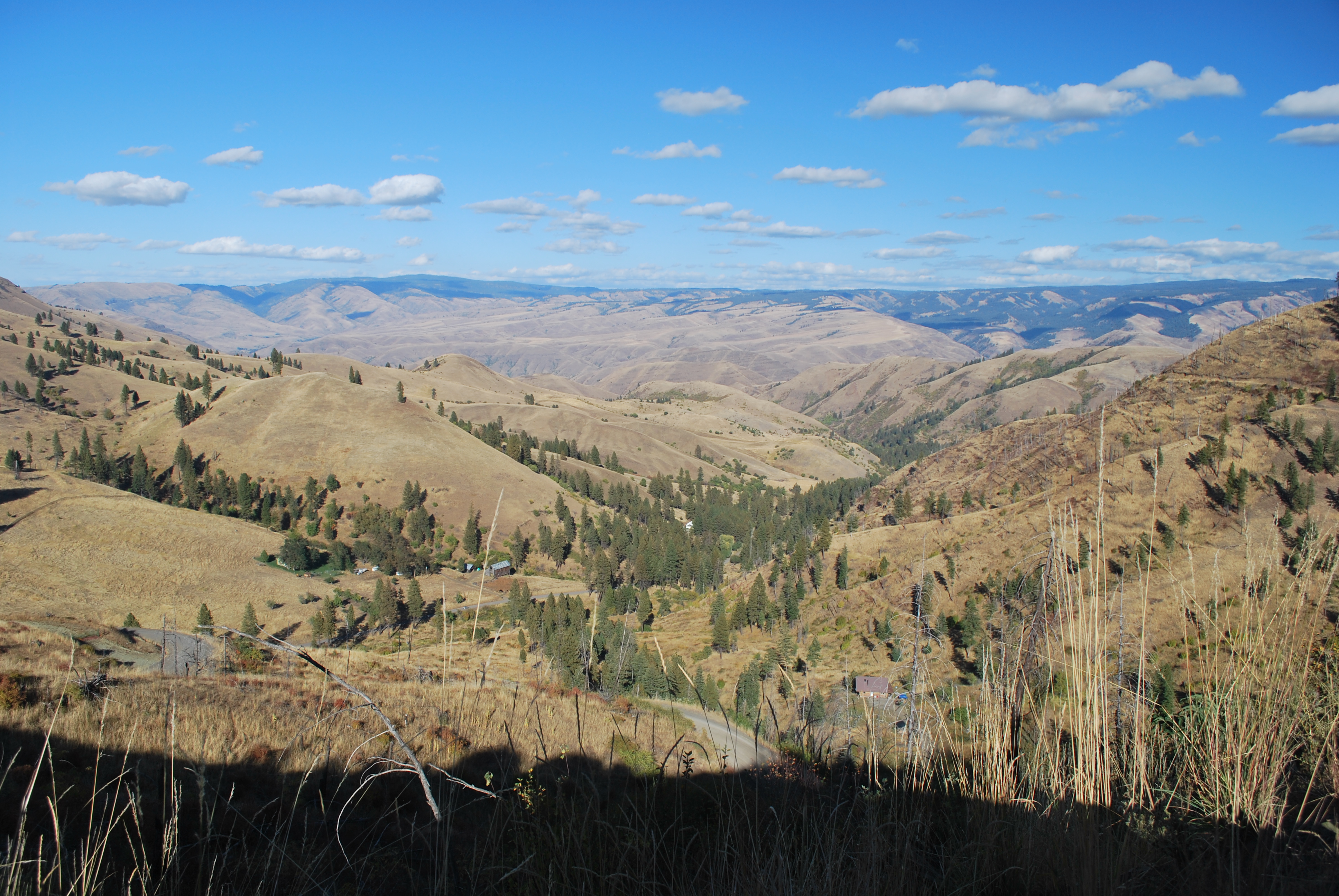
View from Deer Creek Road
Blue Grouse Road, Blue Grouse Rd, Idaho, USA Map
Search another place
Near Places
77 Canyon View Rd, White Bird, ID, USA
Buckhorn Rd, White Bird, ID, USA
Hammer Creek Road, Hammer Creek Rd, Idaho, USA
Doumecq Rd, White Bird, ID, USA
Bear Ridge Rd, Cottonwood, ID, USA
White Bird, ID, USA
Canfield, ID, USA
Joseph, ID, USA
White Bird Hill, Idaho, USA
Harmony, White Bird, ID, USA
Woodys Way, White Bird, ID, USA
Old White Bird Hill Rd, Grangeville, ID, USA
Pittsburg Campground, NF-, Lucile, ID, USA
Snake River Canyon, Idaho, USA
Lucile, ID, USA
Seven U Ranch Rd, Lucile, ID, USA
Twin Pines Ln, Grangeville, ID, USA
20 Fish Hatchery Rd, Grangeville, ID, USA
Grangeville, ID, USA
Junction St, Cottonwood, ID, USA
Recent Searches
- Sunrise Sunset Times of Red Dog Mine, AK, USA
- Sunrise Sunset Times of Am Bahnhof, Am bhf, Borken, Germany
- Sunrise Sunset Times of 4th St E, Sonoma, CA, USA
- Sunrise Sunset Times of Oakland Ave, Williamsport, PA, USA
- Sunrise Sunset Times of Via Roma, Pieranica CR, Italy
- Sunrise Sunset Times of Clock Tower of Dubrovnik, Grad, Dubrovnik, Croatia
- Sunrise Sunset Times of Trelew, Chubut Province, Argentina
- Sunrise Sunset Times of Hartfords Bluff Cir, Mt Pleasant, SC, USA
- Sunrise Sunset Times of Kita Ward, Kumamoto, Japan
- Sunrise Sunset Times of Pingtan Island, Pingtan County, Fuzhou, China