Sunrise Sunset Times of Blind Buck Rd, Salem, NY, USA
Location: United States > New York > Washington County > Salem > >
Timezone:
America/New_York
Current Time:
2025-07-05 02:52:51
Longitude:
-73.314765
Latitude:
43.176051
Sunrise Today:
05:20:06 AM
Sunset Today:
08:35:53 PM
Daylength Today:
15h 15m 47s
Sunrise Tomorrow:
05:20:46 AM
Sunset Tomorrow:
08:35:33 PM
Daylength Tomorrow:
15h 14m 47s
Year Show All Dates
| Date | Sunrise | Sunset | Daylength |
|---|---|---|---|
| 01/01/2025 | 07:25:07 AM | 04:29:37 PM | 9h 4m 30s |
| 01/02/2025 | 07:25:07 AM | 04:30:32 PM | 9h 5m 25s |
| 01/03/2025 | 07:25:04 AM | 04:31:29 PM | 9h 6m 25s |
| 01/04/2025 | 07:25:00 AM | 04:32:27 PM | 9h 7m 27s |
| 01/05/2025 | 07:24:52 AM | 04:33:27 PM | 9h 8m 35s |
| 01/06/2025 | 07:24:43 AM | 04:34:29 PM | 9h 9m 46s |
| 01/07/2025 | 07:24:30 AM | 04:35:32 PM | 9h 11m 2s |
| 01/08/2025 | 07:24:16 AM | 04:36:36 PM | 9h 12m 20s |
| 01/09/2025 | 07:23:59 AM | 04:37:42 PM | 9h 13m 43s |
| 01/10/2025 | 07:23:39 AM | 04:38:49 PM | 9h 15m 10s |
| 01/11/2025 | 07:23:18 AM | 04:39:57 PM | 9h 16m 39s |
| 01/12/2025 | 07:22:53 AM | 04:41:06 PM | 9h 18m 13s |
| 01/13/2025 | 07:22:27 AM | 04:42:16 PM | 9h 19m 49s |
| 01/14/2025 | 07:21:58 AM | 04:43:28 PM | 9h 21m 30s |
| 01/15/2025 | 07:21:27 AM | 04:44:40 PM | 9h 23m 13s |
| 01/16/2025 | 07:20:53 AM | 04:45:53 PM | 9h 25m 0s |
| 01/17/2025 | 07:20:17 AM | 04:47:07 PM | 9h 26m 50s |
| 01/18/2025 | 07:19:39 AM | 04:48:22 PM | 9h 28m 43s |
| 01/19/2025 | 07:18:59 AM | 04:49:38 PM | 9h 30m 39s |
| 01/20/2025 | 07:18:17 AM | 04:50:54 PM | 9h 32m 37s |
| 01/21/2025 | 07:17:32 AM | 04:52:11 PM | 9h 34m 39s |
| 01/22/2025 | 07:16:46 AM | 04:53:28 PM | 9h 36m 42s |
| 01/23/2025 | 07:15:57 AM | 04:54:46 PM | 9h 38m 49s |
| 01/24/2025 | 07:15:06 AM | 04:56:05 PM | 9h 40m 59s |
| 01/25/2025 | 07:14:14 AM | 04:57:23 PM | 9h 43m 9s |
| 01/26/2025 | 07:13:19 AM | 04:58:43 PM | 9h 45m 24s |
| 01/27/2025 | 07:12:22 AM | 05:00:02 PM | 9h 47m 40s |
| 01/28/2025 | 07:11:24 AM | 05:01:22 PM | 9h 49m 58s |
| 01/29/2025 | 07:10:23 AM | 05:02:42 PM | 9h 52m 19s |
| 01/30/2025 | 07:09:21 AM | 05:04:02 PM | 9h 54m 41s |
| 01/31/2025 | 07:08:17 AM | 05:05:23 PM | 9h 57m 6s |
| 02/01/2025 | 07:07:11 AM | 05:06:43 PM | 9h 59m 32s |
| 02/02/2025 | 07:06:03 AM | 05:08:04 PM | 10h 2m 1s |
| 02/03/2025 | 07:04:54 AM | 05:09:24 PM | 10h 4m 30s |
| 02/04/2025 | 07:03:43 AM | 05:10:45 PM | 10h 7m 2s |
| 02/05/2025 | 07:02:31 AM | 05:12:06 PM | 10h 9m 35s |
| 02/06/2025 | 07:01:17 AM | 05:13:26 PM | 10h 12m 9s |
| 02/07/2025 | 07:00:01 AM | 05:14:47 PM | 10h 14m 46s |
| 02/08/2025 | 06:58:44 AM | 05:16:07 PM | 10h 17m 23s |
| 02/09/2025 | 06:57:26 AM | 05:17:28 PM | 10h 20m 2s |
| 02/10/2025 | 06:56:06 AM | 05:18:48 PM | 10h 22m 42s |
| 02/11/2025 | 06:54:44 AM | 05:20:08 PM | 10h 25m 24s |
| 02/12/2025 | 06:53:22 AM | 05:21:28 PM | 10h 28m 6s |
| 02/13/2025 | 06:51:58 AM | 05:22:48 PM | 10h 30m 50s |
| 02/14/2025 | 06:50:33 AM | 05:24:07 PM | 10h 33m 34s |
| 02/15/2025 | 06:49:06 AM | 05:25:27 PM | 10h 36m 21s |
| 02/16/2025 | 06:47:39 AM | 05:26:46 PM | 10h 39m 7s |
| 02/17/2025 | 06:46:10 AM | 05:28:04 PM | 10h 41m 54s |
| 02/18/2025 | 06:44:40 AM | 05:29:23 PM | 10h 44m 43s |
| 02/19/2025 | 06:43:10 AM | 05:30:41 PM | 10h 47m 31s |
| 02/20/2025 | 06:41:38 AM | 05:31:59 PM | 10h 50m 21s |
| 02/21/2025 | 06:40:05 AM | 05:33:17 PM | 10h 53m 12s |
| 02/22/2025 | 06:38:31 AM | 05:34:35 PM | 10h 56m 4s |
| 02/23/2025 | 06:36:56 AM | 05:35:52 PM | 10h 58m 56s |
| 02/24/2025 | 06:35:21 AM | 05:37:09 PM | 11h 1m 48s |
| 02/25/2025 | 06:33:44 AM | 05:38:25 PM | 11h 4m 41s |
| 02/26/2025 | 06:32:07 AM | 05:39:42 PM | 11h 7m 35s |
| 02/27/2025 | 06:30:29 AM | 05:40:58 PM | 11h 10m 29s |
| 02/28/2025 | 06:28:50 AM | 05:42:13 PM | 11h 13m 23s |
| 03/01/2025 | 06:27:10 AM | 05:43:29 PM | 11h 16m 19s |
| 03/02/2025 | 06:25:30 AM | 05:44:44 PM | 11h 19m 14s |
| 03/03/2025 | 06:23:49 AM | 05:45:59 PM | 11h 22m 10s |
| 03/04/2025 | 06:22:08 AM | 05:47:14 PM | 11h 25m 6s |
| 03/05/2025 | 06:20:26 AM | 05:48:28 PM | 11h 28m 2s |
| 03/06/2025 | 06:18:43 AM | 05:49:42 PM | 11h 30m 59s |
| 03/07/2025 | 06:17:00 AM | 05:50:56 PM | 11h 33m 56s |
| 03/08/2025 | 06:15:17 AM | 05:52:09 PM | 11h 36m 52s |
| 03/09/2025 | 07:13:37 AM | 06:53:20 PM | 11h 39m 43s |
| 03/10/2025 | 07:11:53 AM | 06:54:33 PM | 11h 42m 40s |
| 03/11/2025 | 07:10:08 AM | 06:55:46 PM | 11h 45m 38s |
| 03/12/2025 | 07:08:23 AM | 06:56:58 PM | 11h 48m 35s |
| 03/13/2025 | 07:06:37 AM | 06:58:11 PM | 11h 51m 34s |
| 03/14/2025 | 07:04:52 AM | 06:59:23 PM | 11h 54m 31s |
| 03/15/2025 | 07:03:06 AM | 07:00:35 PM | 11h 57m 29s |
| 03/16/2025 | 07:01:19 AM | 07:01:47 PM | 12h 0m 28s |
| 03/17/2025 | 06:59:33 AM | 07:02:58 PM | 12h 3m 25s |
| 03/18/2025 | 06:57:46 AM | 07:04:10 PM | 12h 6m 24s |
| 03/19/2025 | 06:56:00 AM | 07:05:21 PM | 12h 9m 21s |
| 03/20/2025 | 06:54:13 AM | 07:06:32 PM | 12h 12m 19s |
| 03/21/2025 | 06:52:26 AM | 07:07:43 PM | 12h 15m 17s |
| 03/22/2025 | 06:50:39 AM | 07:08:54 PM | 12h 18m 15s |
| 03/23/2025 | 06:48:52 AM | 07:10:05 PM | 12h 21m 13s |
| 03/24/2025 | 06:47:06 AM | 07:11:16 PM | 12h 24m 10s |
| 03/25/2025 | 06:45:19 AM | 07:12:26 PM | 12h 27m 7s |
| 03/26/2025 | 06:43:32 AM | 07:13:37 PM | 12h 30m 5s |
| 03/27/2025 | 06:41:45 AM | 07:14:47 PM | 12h 33m 2s |
| 03/28/2025 | 06:39:59 AM | 07:15:58 PM | 12h 35m 59s |
| 03/29/2025 | 06:38:13 AM | 07:17:08 PM | 12h 38m 55s |
| 03/30/2025 | 06:36:27 AM | 07:18:18 PM | 12h 41m 51s |
| 03/31/2025 | 06:34:41 AM | 07:19:28 PM | 12h 44m 47s |
| 04/01/2025 | 06:32:55 AM | 07:20:38 PM | 12h 47m 43s |
| 04/02/2025 | 06:31:10 AM | 07:21:48 PM | 12h 50m 38s |
| 04/03/2025 | 06:29:25 AM | 07:22:59 PM | 12h 53m 34s |
| 04/04/2025 | 06:27:41 AM | 07:24:09 PM | 12h 56m 28s |
| 04/05/2025 | 06:25:56 AM | 07:25:19 PM | 12h 59m 23s |
| 04/06/2025 | 06:24:13 AM | 07:26:29 PM | 13h 2m 16s |
| 04/07/2025 | 06:22:29 AM | 07:27:39 PM | 13h 5m 10s |
| 04/08/2025 | 06:20:47 AM | 07:28:49 PM | 13h 8m 2s |
| 04/09/2025 | 06:19:04 AM | 07:29:59 PM | 13h 10m 55s |
| 04/10/2025 | 06:17:23 AM | 07:31:09 PM | 13h 13m 46s |
| 04/11/2025 | 06:15:42 AM | 07:32:19 PM | 13h 16m 37s |
| 04/12/2025 | 06:14:01 AM | 07:33:29 PM | 13h 19m 28s |
| 04/13/2025 | 06:12:21 AM | 07:34:39 PM | 13h 22m 18s |
| 04/14/2025 | 06:10:42 AM | 07:35:49 PM | 13h 25m 7s |
| 04/15/2025 | 06:09:04 AM | 07:36:59 PM | 13h 27m 55s |
| 04/16/2025 | 06:07:26 AM | 07:38:09 PM | 13h 30m 43s |
| 04/17/2025 | 06:05:49 AM | 07:39:19 PM | 13h 33m 30s |
| 04/18/2025 | 06:04:13 AM | 07:40:29 PM | 13h 36m 16s |
| 04/19/2025 | 06:02:38 AM | 07:41:39 PM | 13h 39m 1s |
| 04/20/2025 | 06:01:03 AM | 07:42:49 PM | 13h 41m 46s |
| 04/21/2025 | 05:59:30 AM | 07:43:59 PM | 13h 44m 29s |
| 04/22/2025 | 05:57:57 AM | 07:45:09 PM | 13h 47m 12s |
| 04/23/2025 | 05:56:26 AM | 07:46:19 PM | 13h 49m 53s |
| 04/24/2025 | 05:54:55 AM | 07:47:29 PM | 13h 52m 34s |
| 04/25/2025 | 05:53:26 AM | 07:48:39 PM | 13h 55m 13s |
| 04/26/2025 | 05:51:57 AM | 07:49:48 PM | 13h 57m 51s |
| 04/27/2025 | 05:50:30 AM | 07:50:58 PM | 14h 0m 28s |
| 04/28/2025 | 05:49:04 AM | 07:52:07 PM | 14h 3m 3s |
| 04/29/2025 | 05:47:39 AM | 07:53:16 PM | 14h 5m 37s |
| 04/30/2025 | 05:46:15 AM | 07:54:26 PM | 14h 8m 11s |
| 05/01/2025 | 05:44:53 AM | 07:55:35 PM | 14h 10m 42s |
| 05/02/2025 | 05:43:32 AM | 07:56:43 PM | 14h 13m 11s |
| 05/03/2025 | 05:42:12 AM | 07:57:52 PM | 14h 15m 40s |
| 05/04/2025 | 05:40:53 AM | 07:59:00 PM | 14h 18m 7s |
| 05/05/2025 | 05:39:36 AM | 08:00:08 PM | 14h 20m 32s |
| 05/06/2025 | 05:38:21 AM | 08:01:16 PM | 14h 22m 55s |
| 05/07/2025 | 05:37:06 AM | 08:02:23 PM | 14h 25m 17s |
| 05/08/2025 | 05:35:54 AM | 08:03:31 PM | 14h 27m 37s |
| 05/09/2025 | 05:34:42 AM | 08:04:37 PM | 14h 29m 55s |
| 05/10/2025 | 05:33:33 AM | 08:05:44 PM | 14h 32m 11s |
| 05/11/2025 | 05:32:25 AM | 08:06:49 PM | 14h 34m 24s |
| 05/12/2025 | 05:31:18 AM | 08:07:55 PM | 14h 36m 37s |
| 05/13/2025 | 05:30:13 AM | 08:09:00 PM | 14h 38m 47s |
| 05/14/2025 | 05:29:10 AM | 08:10:04 PM | 14h 40m 54s |
| 05/15/2025 | 05:28:09 AM | 08:11:08 PM | 14h 42m 59s |
| 05/16/2025 | 05:27:09 AM | 08:12:11 PM | 14h 45m 2s |
| 05/17/2025 | 05:26:12 AM | 08:13:13 PM | 14h 47m 1s |
| 05/18/2025 | 05:25:15 AM | 08:14:15 PM | 14h 49m 0s |
| 05/19/2025 | 05:24:21 AM | 08:15:16 PM | 14h 50m 55s |
| 05/20/2025 | 05:23:29 AM | 08:16:16 PM | 14h 52m 47s |
| 05/21/2025 | 05:22:39 AM | 08:17:15 PM | 14h 54m 36s |
| 05/22/2025 | 05:21:50 AM | 08:18:13 PM | 14h 56m 23s |
| 05/23/2025 | 05:21:04 AM | 08:19:11 PM | 14h 58m 7s |
| 05/24/2025 | 05:20:19 AM | 08:20:07 PM | 14h 59m 48s |
| 05/25/2025 | 05:19:36 AM | 08:21:03 PM | 15h 1m 27s |
| 05/26/2025 | 05:18:56 AM | 08:21:57 PM | 15h 3m 1s |
| 05/27/2025 | 05:18:17 AM | 08:22:51 PM | 15h 4m 34s |
| 05/28/2025 | 05:17:41 AM | 08:23:43 PM | 15h 6m 2s |
| 05/29/2025 | 05:17:06 AM | 08:24:34 PM | 15h 7m 28s |
| 05/30/2025 | 05:16:34 AM | 08:25:24 PM | 15h 8m 50s |
| 05/31/2025 | 05:16:04 AM | 08:26:12 PM | 15h 10m 8s |
| 06/01/2025 | 05:15:36 AM | 08:26:59 PM | 15h 11m 23s |
| 06/02/2025 | 05:15:10 AM | 08:27:45 PM | 15h 12m 35s |
| 06/03/2025 | 05:14:46 AM | 08:28:29 PM | 15h 13m 43s |
| 06/04/2025 | 05:14:25 AM | 08:29:12 PM | 15h 14m 47s |
| 06/05/2025 | 05:14:05 AM | 08:29:53 PM | 15h 15m 48s |
| 06/06/2025 | 05:13:48 AM | 08:30:33 PM | 15h 16m 45s |
| 06/07/2025 | 05:13:33 AM | 08:31:11 PM | 15h 17m 38s |
| 06/08/2025 | 05:13:20 AM | 08:31:47 PM | 15h 18m 27s |
| 06/09/2025 | 05:13:09 AM | 08:32:22 PM | 15h 19m 13s |
| 06/10/2025 | 05:13:01 AM | 08:32:54 PM | 15h 19m 53s |
| 06/11/2025 | 05:12:54 AM | 08:33:26 PM | 15h 20m 32s |
| 06/12/2025 | 05:12:50 AM | 08:33:55 PM | 15h 21m 5s |
| 06/13/2025 | 05:12:48 AM | 08:34:22 PM | 15h 21m 34s |
| 06/14/2025 | 05:12:48 AM | 08:34:48 PM | 15h 22m 0s |
| 06/15/2025 | 05:12:50 AM | 08:35:12 PM | 15h 22m 22s |
| 06/16/2025 | 05:12:54 AM | 08:35:33 PM | 15h 22m 39s |
| 06/17/2025 | 05:13:01 AM | 08:35:53 PM | 15h 22m 52s |
| 06/18/2025 | 05:13:09 AM | 08:36:11 PM | 15h 23m 2s |
| 06/19/2025 | 05:13:20 AM | 08:36:26 PM | 15h 23m 6s |
| 06/20/2025 | 05:13:32 AM | 08:36:40 PM | 15h 23m 8s |
| 06/21/2025 | 05:13:47 AM | 08:36:51 PM | 15h 23m 4s |
| 06/22/2025 | 05:14:04 AM | 08:37:01 PM | 15h 22m 57s |
| 06/23/2025 | 05:14:22 AM | 08:37:08 PM | 15h 22m 46s |
| 06/24/2025 | 05:14:43 AM | 08:37:13 PM | 15h 22m 30s |
| 06/25/2025 | 05:15:05 AM | 08:37:16 PM | 15h 22m 11s |
| 06/26/2025 | 05:15:29 AM | 08:37:16 PM | 15h 21m 47s |
| 06/27/2025 | 05:15:56 AM | 08:37:15 PM | 15h 21m 19s |
| 06/28/2025 | 05:16:23 AM | 08:37:11 PM | 15h 20m 48s |
| 06/29/2025 | 05:16:53 AM | 08:37:05 PM | 15h 20m 12s |
| 06/30/2025 | 05:17:25 AM | 08:36:57 PM | 15h 19m 32s |
| 07/01/2025 | 05:17:58 AM | 08:36:47 PM | 15h 18m 49s |
| 07/02/2025 | 05:18:32 AM | 08:36:34 PM | 15h 18m 2s |
| 07/03/2025 | 05:19:09 AM | 08:36:19 PM | 15h 17m 10s |
| 07/04/2025 | 05:19:47 AM | 08:36:02 PM | 15h 16m 15s |
| 07/05/2025 | 05:20:26 AM | 08:35:43 PM | 15h 15m 17s |
| 07/06/2025 | 05:21:07 AM | 08:35:22 PM | 15h 14m 15s |
| 07/07/2025 | 05:21:49 AM | 08:34:58 PM | 15h 13m 9s |
| 07/08/2025 | 05:22:33 AM | 08:34:32 PM | 15h 11m 59s |
| 07/09/2025 | 05:23:18 AM | 08:34:04 PM | 15h 10m 46s |
| 07/10/2025 | 05:24:04 AM | 08:33:34 PM | 15h 9m 30s |
| 07/11/2025 | 05:24:52 AM | 08:33:02 PM | 15h 8m 10s |
| 07/12/2025 | 05:25:40 AM | 08:32:27 PM | 15h 6m 47s |
| 07/13/2025 | 05:26:30 AM | 08:31:51 PM | 15h 5m 21s |
| 07/14/2025 | 05:27:21 AM | 08:31:12 PM | 15h 3m 51s |
| 07/15/2025 | 05:28:13 AM | 08:30:32 PM | 15h 2m 19s |
| 07/16/2025 | 05:29:06 AM | 08:29:49 PM | 15h 0m 43s |
| 07/17/2025 | 05:30:00 AM | 08:29:04 PM | 14h 59m 4s |
| 07/18/2025 | 05:30:55 AM | 08:28:17 PM | 14h 57m 22s |
| 07/19/2025 | 05:31:51 AM | 08:27:29 PM | 14h 55m 38s |
| 07/20/2025 | 05:32:48 AM | 08:26:38 PM | 14h 53m 50s |
| 07/21/2025 | 05:33:45 AM | 08:25:45 PM | 14h 52m 0s |
| 07/22/2025 | 05:34:43 AM | 08:24:51 PM | 14h 50m 8s |
| 07/23/2025 | 05:35:42 AM | 08:23:54 PM | 14h 48m 12s |
| 07/24/2025 | 05:36:41 AM | 08:22:56 PM | 14h 46m 15s |
| 07/25/2025 | 05:37:42 AM | 08:21:56 PM | 14h 44m 14s |
| 07/26/2025 | 05:38:42 AM | 08:20:54 PM | 14h 42m 12s |
| 07/27/2025 | 05:39:44 AM | 08:19:51 PM | 14h 40m 7s |
| 07/28/2025 | 05:40:45 AM | 08:18:45 PM | 14h 38m 0s |
| 07/29/2025 | 05:41:47 AM | 08:17:38 PM | 14h 35m 51s |
| 07/30/2025 | 05:42:50 AM | 08:16:30 PM | 14h 33m 40s |
| 07/31/2025 | 05:43:53 AM | 08:15:19 PM | 14h 31m 26s |
| 08/01/2025 | 05:44:57 AM | 08:14:08 PM | 14h 29m 11s |
| 08/02/2025 | 05:46:00 AM | 08:12:54 PM | 14h 26m 54s |
| 08/03/2025 | 05:47:04 AM | 08:11:39 PM | 14h 24m 35s |
| 08/04/2025 | 05:48:09 AM | 08:10:23 PM | 14h 22m 14s |
| 08/05/2025 | 05:49:13 AM | 08:09:05 PM | 14h 19m 52s |
| 08/06/2025 | 05:50:18 AM | 08:07:46 PM | 14h 17m 28s |
| 08/07/2025 | 05:51:23 AM | 08:06:25 PM | 14h 15m 2s |
| 08/08/2025 | 05:52:28 AM | 08:05:03 PM | 14h 12m 35s |
| 08/09/2025 | 05:53:34 AM | 08:03:40 PM | 14h 10m 6s |
| 08/10/2025 | 05:54:39 AM | 08:02:16 PM | 14h 7m 37s |
| 08/11/2025 | 05:55:45 AM | 08:00:50 PM | 14h 5m 5s |
| 08/12/2025 | 05:56:50 AM | 07:59:23 PM | 14h 2m 33s |
| 08/13/2025 | 05:57:56 AM | 07:57:55 PM | 13h 59m 59s |
| 08/14/2025 | 05:59:02 AM | 07:56:25 PM | 13h 57m 23s |
| 08/15/2025 | 06:00:08 AM | 07:54:55 PM | 13h 54m 47s |
| 08/16/2025 | 06:01:14 AM | 07:53:23 PM | 13h 52m 9s |
| 08/17/2025 | 06:02:20 AM | 07:51:51 PM | 13h 49m 31s |
| 08/18/2025 | 06:03:26 AM | 07:50:17 PM | 13h 46m 51s |
| 08/19/2025 | 06:04:31 AM | 07:48:43 PM | 13h 44m 12s |
| 08/20/2025 | 06:05:37 AM | 07:47:07 PM | 13h 41m 30s |
| 08/21/2025 | 06:06:43 AM | 07:45:31 PM | 13h 38m 48s |
| 08/22/2025 | 06:07:49 AM | 07:43:54 PM | 13h 36m 5s |
| 08/23/2025 | 06:08:55 AM | 07:42:16 PM | 13h 33m 21s |
| 08/24/2025 | 06:10:01 AM | 07:40:37 PM | 13h 30m 36s |
| 08/25/2025 | 06:11:07 AM | 07:38:57 PM | 13h 27m 50s |
| 08/26/2025 | 06:12:13 AM | 07:37:17 PM | 13h 25m 4s |
| 08/27/2025 | 06:13:18 AM | 07:35:36 PM | 13h 22m 18s |
| 08/28/2025 | 06:14:24 AM | 07:33:54 PM | 13h 19m 30s |
| 08/29/2025 | 06:15:30 AM | 07:32:12 PM | 13h 16m 42s |
| 08/30/2025 | 06:16:36 AM | 07:30:29 PM | 13h 13m 53s |
| 08/31/2025 | 06:17:41 AM | 07:28:45 PM | 13h 11m 4s |
| 09/01/2025 | 06:18:47 AM | 07:27:01 PM | 13h 8m 14s |
| 09/02/2025 | 06:19:52 AM | 07:25:16 PM | 13h 5m 24s |
| 09/03/2025 | 06:20:58 AM | 07:23:31 PM | 13h 2m 33s |
| 09/04/2025 | 06:22:03 AM | 07:21:45 PM | 12h 59m 42s |
| 09/05/2025 | 06:23:09 AM | 07:19:59 PM | 12h 56m 50s |
| 09/06/2025 | 06:24:14 AM | 07:18:13 PM | 12h 53m 59s |
| 09/07/2025 | 06:25:20 AM | 07:16:26 PM | 12h 51m 6s |
| 09/08/2025 | 06:26:25 AM | 07:14:39 PM | 12h 48m 14s |
| 09/09/2025 | 06:27:31 AM | 07:12:52 PM | 12h 45m 21s |
| 09/10/2025 | 06:28:36 AM | 07:11:04 PM | 12h 42m 28s |
| 09/11/2025 | 06:29:42 AM | 07:09:16 PM | 12h 39m 34s |
| 09/12/2025 | 06:30:48 AM | 07:07:28 PM | 12h 36m 40s |
| 09/13/2025 | 06:31:53 AM | 07:05:39 PM | 12h 33m 46s |
| 09/14/2025 | 06:32:59 AM | 07:03:51 PM | 12h 30m 52s |
| 09/15/2025 | 06:34:05 AM | 07:02:02 PM | 12h 27m 57s |
| 09/16/2025 | 06:35:11 AM | 07:00:13 PM | 12h 25m 2s |
| 09/17/2025 | 06:36:17 AM | 06:58:24 PM | 12h 22m 7s |
| 09/18/2025 | 06:37:23 AM | 06:56:36 PM | 12h 19m 13s |
| 09/19/2025 | 06:38:29 AM | 06:54:47 PM | 12h 16m 18s |
| 09/20/2025 | 06:39:35 AM | 06:52:58 PM | 12h 13m 23s |
| 09/21/2025 | 06:40:41 AM | 06:51:09 PM | 12h 10m 28s |
| 09/22/2025 | 06:41:48 AM | 06:49:20 PM | 12h 7m 32s |
| 09/23/2025 | 06:42:55 AM | 06:47:32 PM | 12h 4m 37s |
| 09/24/2025 | 06:44:02 AM | 06:45:43 PM | 12h 1m 41s |
| 09/25/2025 | 06:45:09 AM | 06:43:55 PM | 11h 58m 46s |
| 09/26/2025 | 06:46:16 AM | 06:42:07 PM | 11h 55m 51s |
| 09/27/2025 | 06:47:23 AM | 06:40:19 PM | 11h 52m 56s |
| 09/28/2025 | 06:48:31 AM | 06:38:31 PM | 11h 50m 0s |
| 09/29/2025 | 06:49:39 AM | 06:36:44 PM | 11h 47m 5s |
| 09/30/2025 | 06:50:47 AM | 06:34:57 PM | 11h 44m 10s |
| 10/01/2025 | 06:51:55 AM | 06:33:11 PM | 11h 41m 16s |
| 10/02/2025 | 06:53:04 AM | 06:31:24 PM | 11h 38m 20s |
| 10/03/2025 | 06:54:12 AM | 06:29:39 PM | 11h 35m 27s |
| 10/04/2025 | 06:55:21 AM | 06:27:53 PM | 11h 32m 32s |
| 10/05/2025 | 06:56:31 AM | 06:26:09 PM | 11h 29m 38s |
| 10/06/2025 | 06:57:40 AM | 06:24:24 PM | 11h 26m 44s |
| 10/07/2025 | 06:58:50 AM | 06:22:40 PM | 11h 23m 50s |
| 10/08/2025 | 07:00:00 AM | 06:20:57 PM | 11h 20m 57s |
| 10/09/2025 | 07:01:11 AM | 06:19:15 PM | 11h 18m 4s |
| 10/10/2025 | 07:02:21 AM | 06:17:33 PM | 11h 15m 12s |
| 10/11/2025 | 07:03:32 AM | 06:15:51 PM | 11h 12m 19s |
| 10/12/2025 | 07:04:44 AM | 06:14:11 PM | 11h 9m 27s |
| 10/13/2025 | 07:05:55 AM | 06:12:31 PM | 11h 6m 36s |
| 10/14/2025 | 07:07:07 AM | 06:10:52 PM | 11h 3m 45s |
| 10/15/2025 | 07:08:20 AM | 06:09:14 PM | 11h 0m 54s |
| 10/16/2025 | 07:09:32 AM | 06:07:37 PM | 10h 58m 5s |
| 10/17/2025 | 07:10:45 AM | 06:06:00 PM | 10h 55m 15s |
| 10/18/2025 | 07:11:59 AM | 06:04:25 PM | 10h 52m 26s |
| 10/19/2025 | 07:13:12 AM | 06:02:50 PM | 10h 49m 38s |
| 10/20/2025 | 07:14:26 AM | 06:01:16 PM | 10h 46m 50s |
| 10/21/2025 | 07:15:40 AM | 05:59:44 PM | 10h 44m 4s |
| 10/22/2025 | 07:16:55 AM | 05:58:12 PM | 10h 41m 17s |
| 10/23/2025 | 07:18:09 AM | 05:56:42 PM | 10h 38m 33s |
| 10/24/2025 | 07:19:24 AM | 05:55:13 PM | 10h 35m 49s |
| 10/25/2025 | 07:20:40 AM | 05:53:45 PM | 10h 33m 5s |
| 10/26/2025 | 07:21:55 AM | 05:52:18 PM | 10h 30m 23s |
| 10/27/2025 | 07:23:11 AM | 05:50:52 PM | 10h 27m 41s |
| 10/28/2025 | 07:24:27 AM | 05:49:28 PM | 10h 25m 1s |
| 10/29/2025 | 07:25:43 AM | 05:48:05 PM | 10h 22m 22s |
| 10/30/2025 | 07:27:00 AM | 05:46:43 PM | 10h 19m 43s |
| 10/31/2025 | 07:28:16 AM | 05:45:23 PM | 10h 17m 7s |
| 11/01/2025 | 07:29:33 AM | 05:44:04 PM | 10h 14m 31s |
| 11/02/2025 | 06:30:53 AM | 04:42:44 PM | 10h 11m 51s |
| 11/03/2025 | 06:32:10 AM | 04:41:28 PM | 10h 9m 18s |
| 11/04/2025 | 06:33:27 AM | 04:40:14 PM | 10h 6m 47s |
| 11/05/2025 | 06:34:44 AM | 04:39:02 PM | 10h 4m 18s |
| 11/06/2025 | 06:36:02 AM | 04:37:51 PM | 10h 1m 49s |
| 11/07/2025 | 06:37:19 AM | 04:36:41 PM | 9h 59m 22s |
| 11/08/2025 | 06:38:36 AM | 04:35:34 PM | 9h 56m 58s |
| 11/09/2025 | 06:39:53 AM | 04:34:28 PM | 9h 54m 35s |
| 11/10/2025 | 06:41:10 AM | 04:33:24 PM | 9h 52m 14s |
| 11/11/2025 | 06:42:27 AM | 04:32:22 PM | 9h 49m 55s |
| 11/12/2025 | 06:43:44 AM | 04:31:22 PM | 9h 47m 38s |
| 11/13/2025 | 06:45:01 AM | 04:30:23 PM | 9h 45m 22s |
| 11/14/2025 | 06:46:17 AM | 04:29:27 PM | 9h 43m 10s |
| 11/15/2025 | 06:47:33 AM | 04:28:33 PM | 9h 41m 0s |
| 11/16/2025 | 06:48:48 AM | 04:27:40 PM | 9h 38m 52s |
| 11/17/2025 | 06:50:04 AM | 04:26:50 PM | 9h 36m 46s |
| 11/18/2025 | 06:51:19 AM | 04:26:01 PM | 9h 34m 42s |
| 11/19/2025 | 06:52:33 AM | 04:25:15 PM | 9h 32m 42s |
| 11/20/2025 | 06:53:47 AM | 04:24:31 PM | 9h 30m 44s |
| 11/21/2025 | 06:55:00 AM | 04:23:49 PM | 9h 28m 49s |
| 11/22/2025 | 06:56:12 AM | 04:23:10 PM | 9h 26m 58s |
| 11/23/2025 | 06:57:24 AM | 04:22:33 PM | 9h 25m 9s |
| 11/24/2025 | 06:58:35 AM | 04:21:57 PM | 9h 23m 22s |
| 11/25/2025 | 06:59:46 AM | 04:21:25 PM | 9h 21m 39s |
| 11/26/2025 | 07:00:55 AM | 04:20:54 PM | 9h 19m 59s |
| 11/27/2025 | 07:02:04 AM | 04:20:26 PM | 9h 18m 22s |
| 11/28/2025 | 07:03:11 AM | 04:20:00 PM | 9h 16m 49s |
| 11/29/2025 | 07:04:18 AM | 04:19:37 PM | 9h 15m 19s |
| 11/30/2025 | 07:05:23 AM | 04:19:16 PM | 9h 13m 53s |
| 12/01/2025 | 07:06:27 AM | 04:18:58 PM | 9h 12m 31s |
| 12/02/2025 | 07:07:30 AM | 04:18:42 PM | 9h 11m 12s |
| 12/03/2025 | 07:08:32 AM | 04:18:28 PM | 9h 9m 56s |
| 12/04/2025 | 07:09:33 AM | 04:18:17 PM | 9h 8m 44s |
| 12/05/2025 | 07:10:32 AM | 04:18:09 PM | 9h 7m 37s |
| 12/06/2025 | 07:11:29 AM | 04:18:03 PM | 9h 6m 34s |
| 12/07/2025 | 07:12:25 AM | 04:17:59 PM | 9h 5m 34s |
| 12/08/2025 | 07:13:20 AM | 04:17:58 PM | 9h 4m 38s |
| 12/09/2025 | 07:14:12 AM | 04:17:59 PM | 9h 3m 47s |
| 12/10/2025 | 07:15:03 AM | 04:18:03 PM | 9h 3m 0s |
| 12/11/2025 | 07:15:53 AM | 04:18:10 PM | 9h 2m 17s |
| 12/12/2025 | 07:16:40 AM | 04:18:19 PM | 9h 1m 39s |
| 12/13/2025 | 07:17:26 AM | 04:18:30 PM | 9h 1m 4s |
| 12/14/2025 | 07:18:10 AM | 04:18:44 PM | 9h 0m 34s |
| 12/15/2025 | 07:18:52 AM | 04:19:00 PM | 9h 0m 8s |
| 12/16/2025 | 07:19:31 AM | 04:19:19 PM | 8h 59m 48s |
| 12/17/2025 | 07:20:09 AM | 04:19:40 PM | 8h 59m 31s |
| 12/18/2025 | 07:20:45 AM | 04:20:04 PM | 8h 59m 19s |
| 12/19/2025 | 07:21:18 AM | 04:20:29 PM | 8h 59m 11s |
| 12/20/2025 | 07:21:50 AM | 04:20:58 PM | 8h 59m 8s |
| 12/21/2025 | 07:22:19 AM | 04:21:28 PM | 8h 59m 9s |
| 12/22/2025 | 07:22:46 AM | 04:22:01 PM | 8h 59m 15s |
| 12/23/2025 | 07:23:11 AM | 04:22:36 PM | 8h 59m 25s |
| 12/24/2025 | 07:23:33 AM | 04:23:13 PM | 8h 59m 40s |
| 12/25/2025 | 07:23:53 AM | 04:23:52 PM | 8h 59m 59s |
| 12/26/2025 | 07:24:11 AM | 04:24:34 PM | 9h 0m 23s |
| 12/27/2025 | 07:24:26 AM | 04:25:17 PM | 9h 0m 51s |
| 12/28/2025 | 07:24:39 AM | 04:26:03 PM | 9h 1m 24s |
| 12/29/2025 | 07:24:49 AM | 04:26:50 PM | 9h 2m 1s |
| 12/30/2025 | 07:24:57 AM | 04:27:39 PM | 9h 2m 42s |
| 12/31/2025 | 07:25:03 AM | 04:28:31 PM | 9h 3m 28s |
Sunrise & Sunset Photos
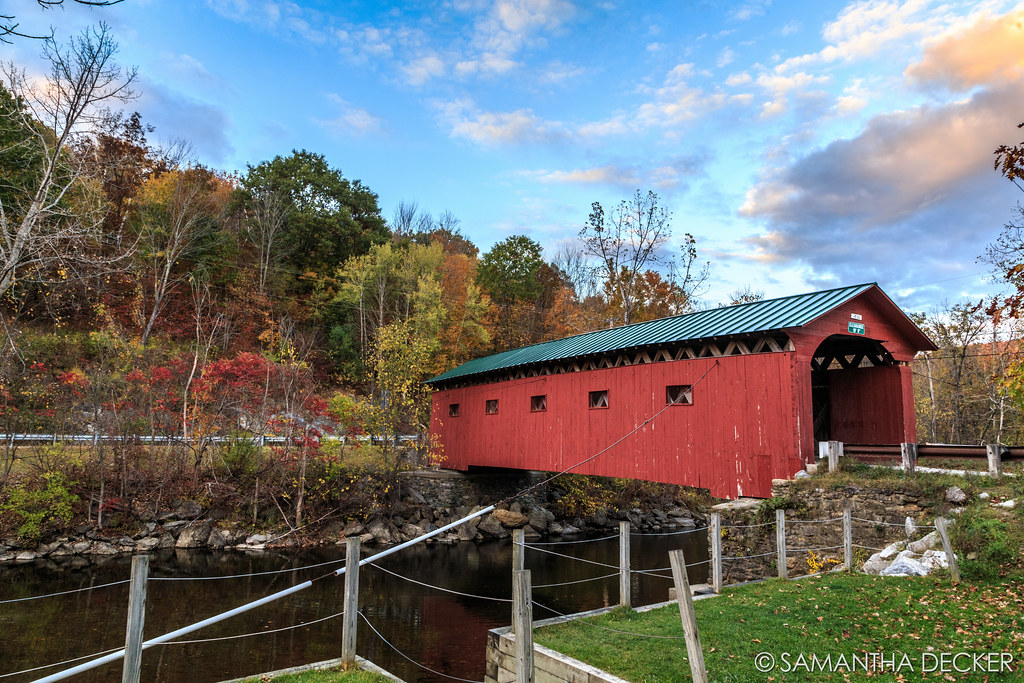
Arlington Covered Bridge Just Before Sunset

Upstate NY/Fall 2016
Sunset over the Green Mountains

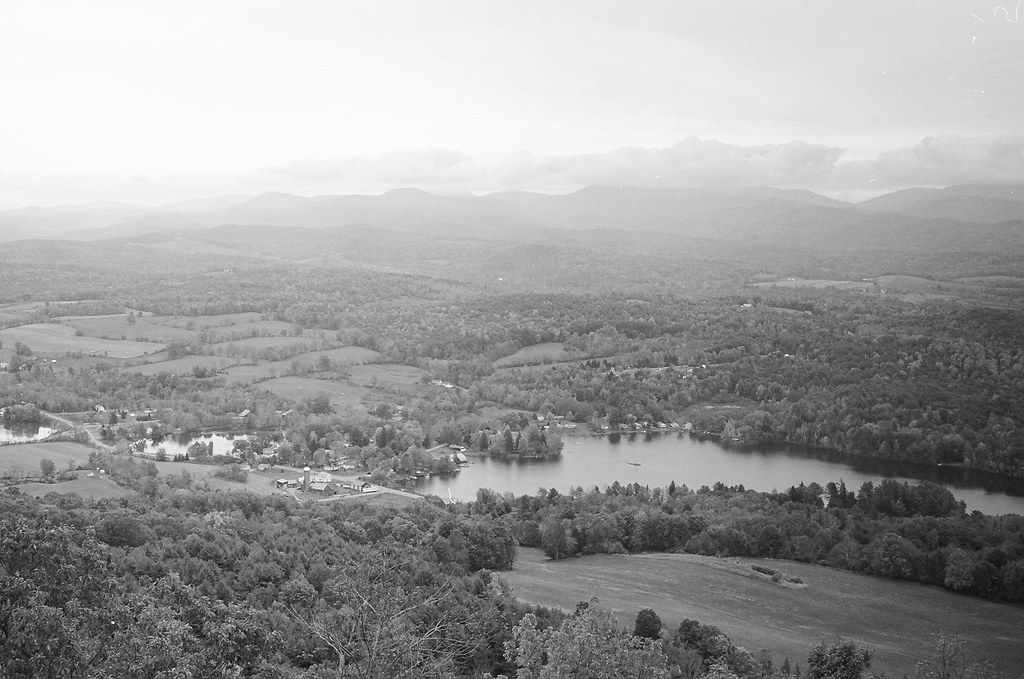
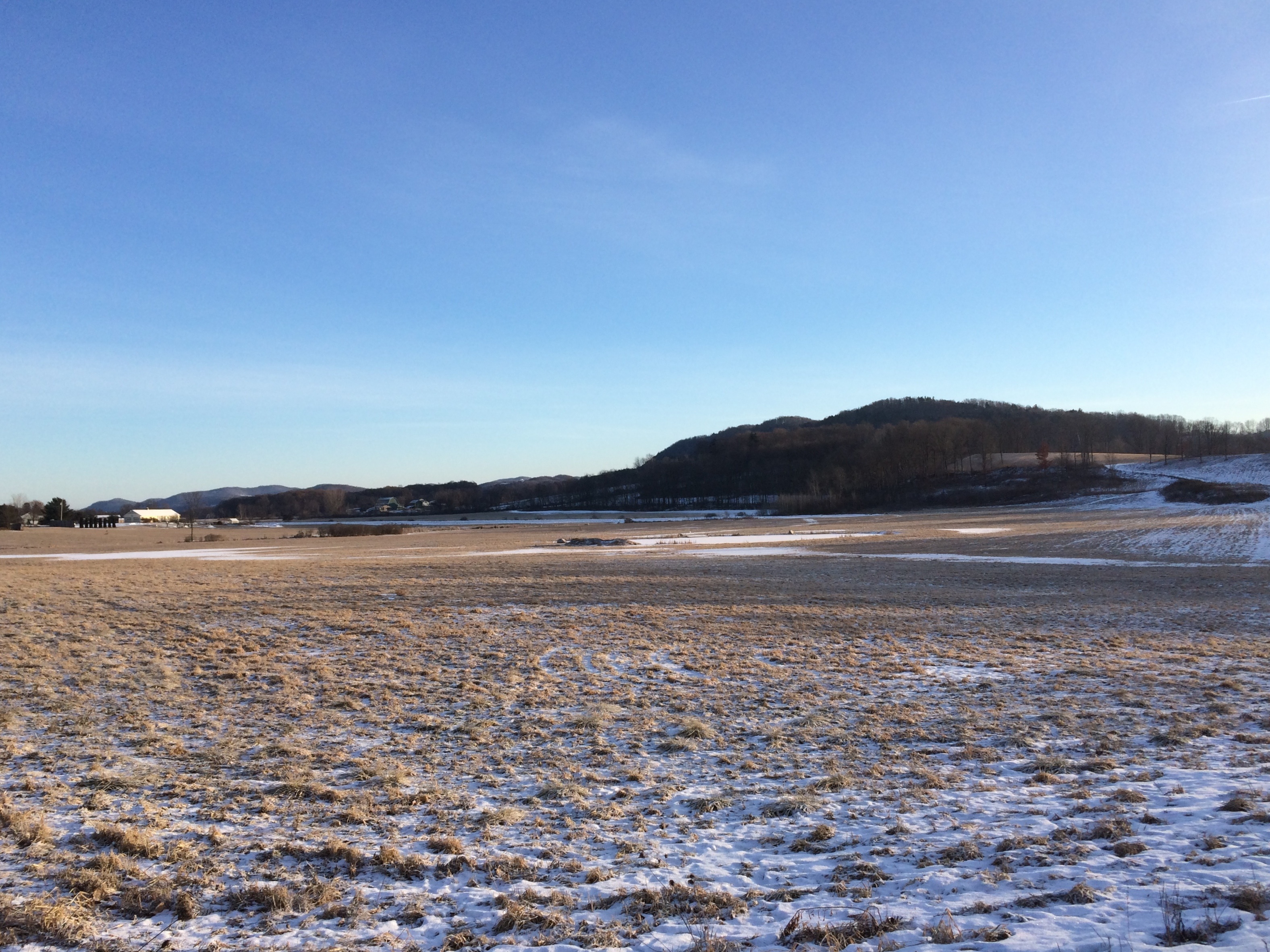
2011-09-17 Granville, NY

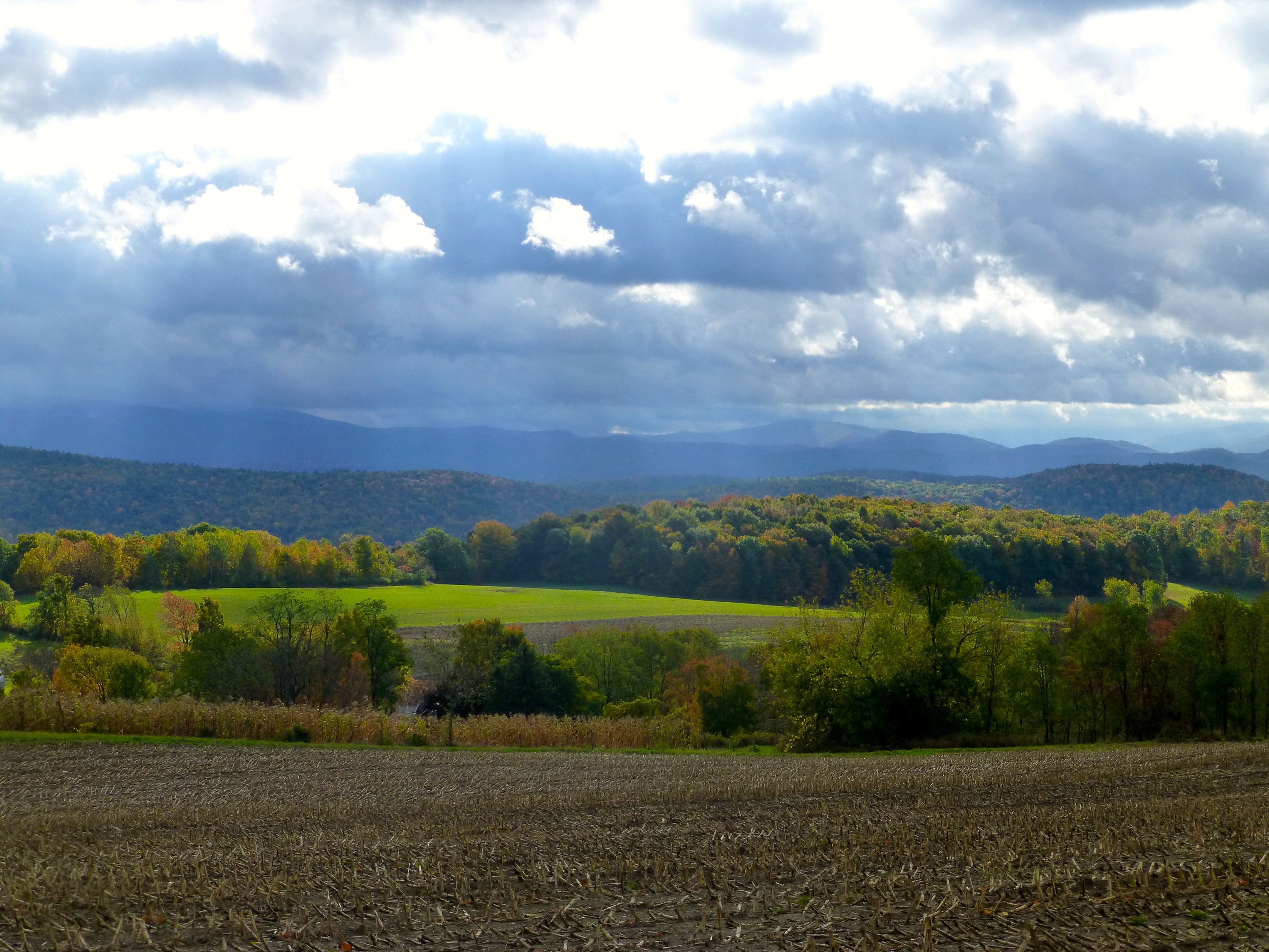
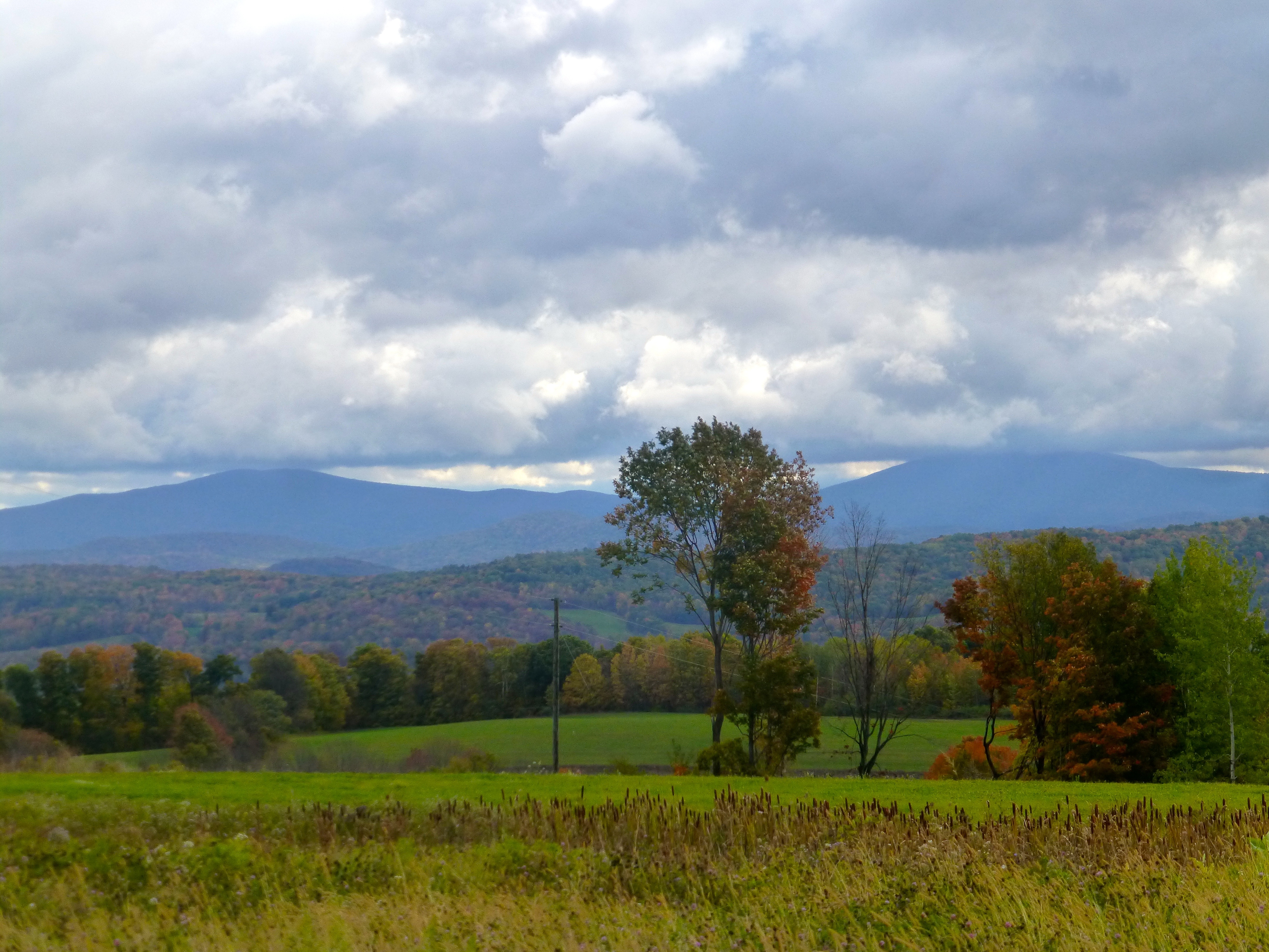
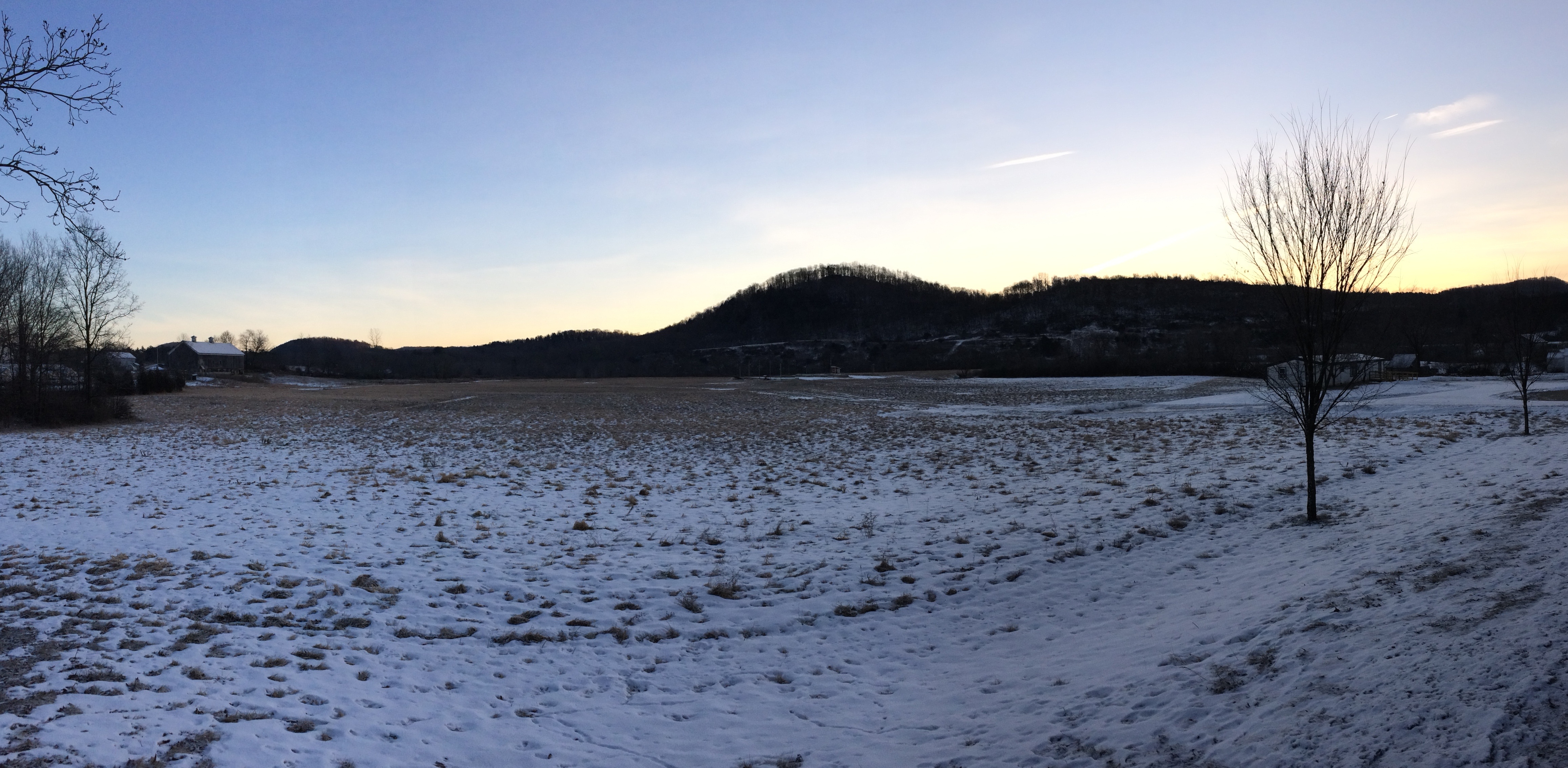
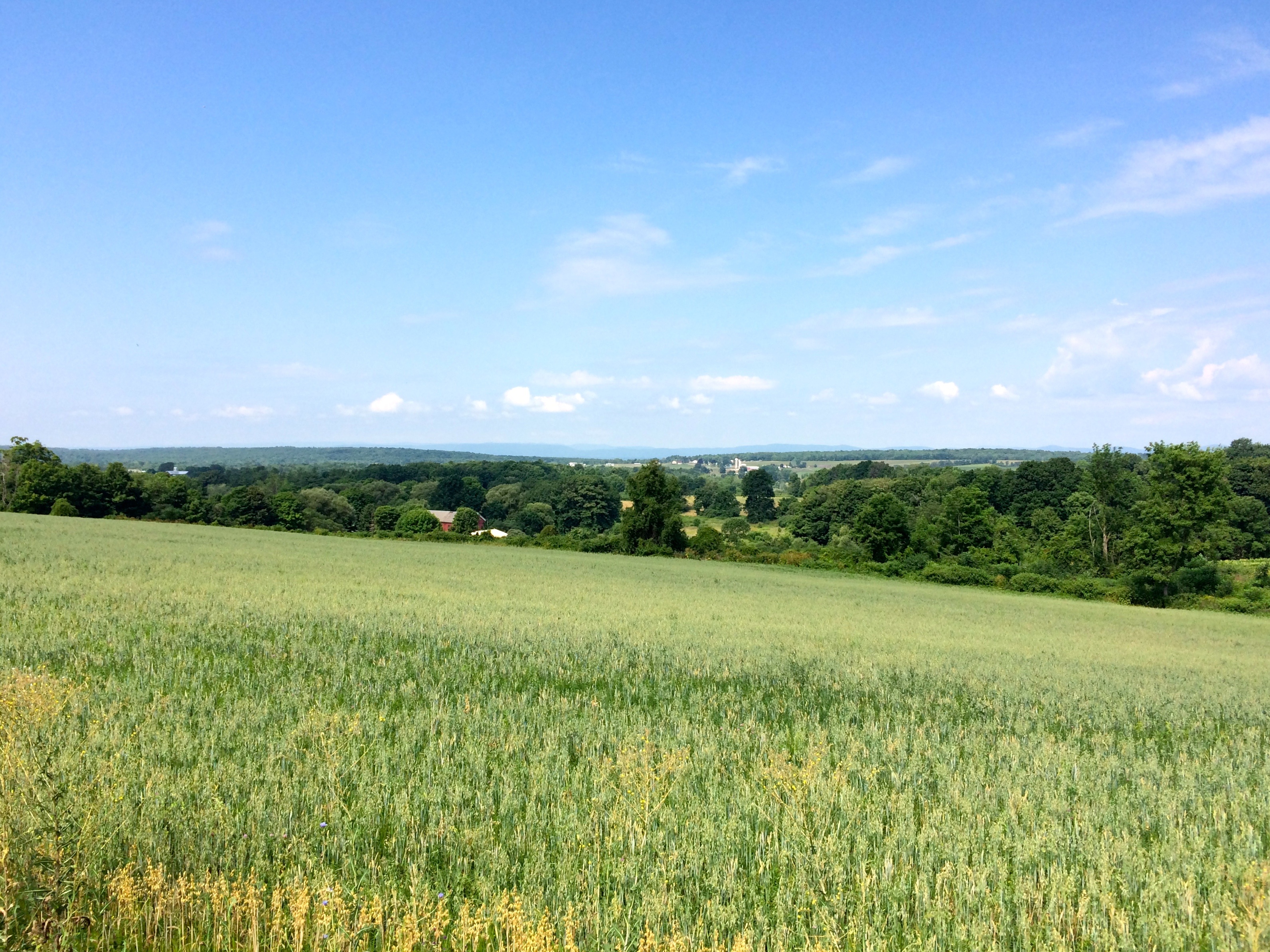
A Farm in Arlington

Another great fall evening...we're never leaving.
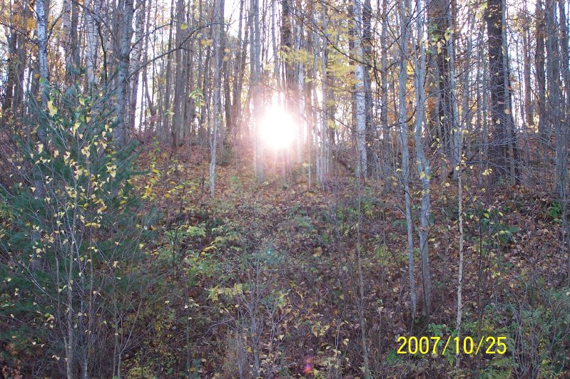
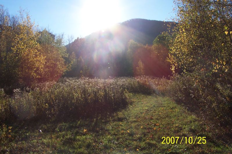
Sunrise
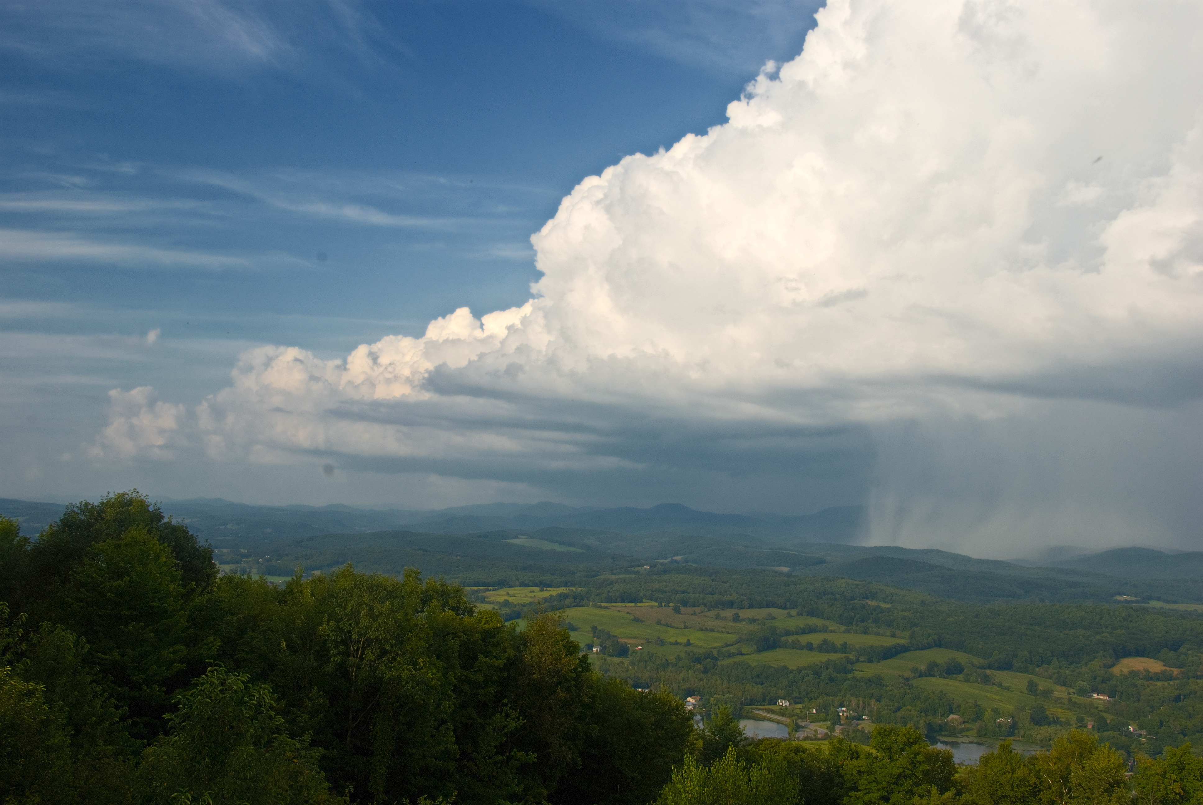
The Front
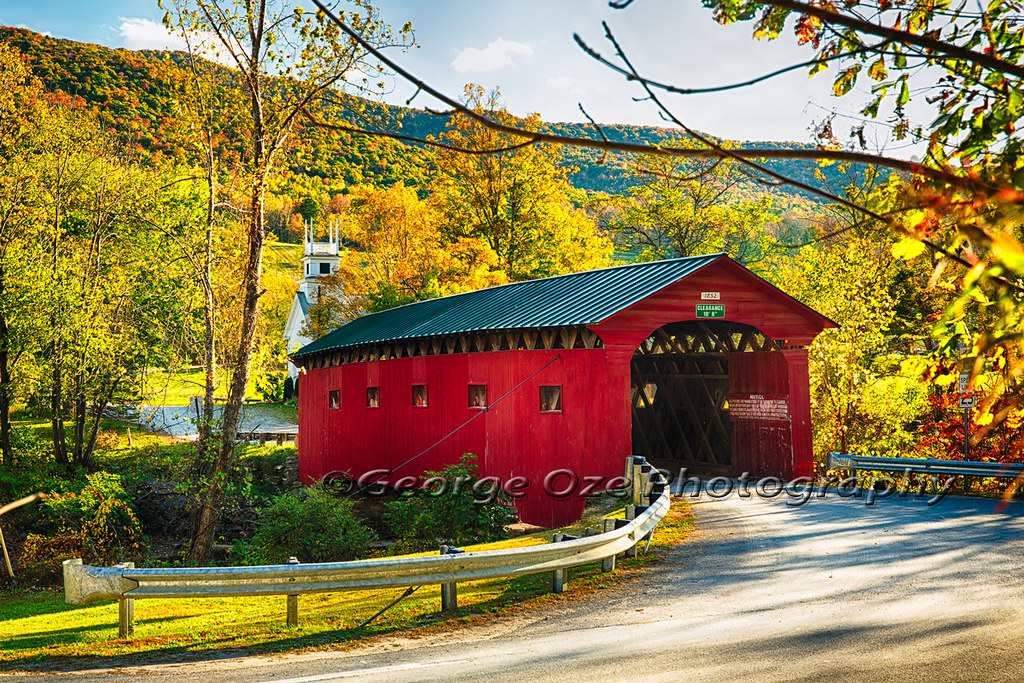
Red Covered Bridge and a Church, Vermont
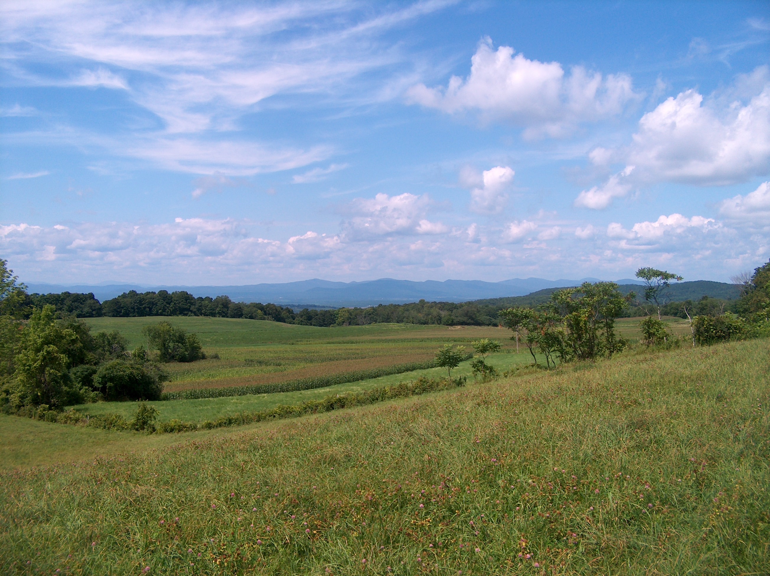
View of high Taconic Mt. peaks in southwestern Vermont, from Calloway Road, Hebron, Washington County, New York
Green Mountains - Vermont
View eastward toward high Taconic Mountains, of southwestern Vermont, from Warnick Road, Hebron, Washington County, NY
Mt Equinox, Vermont from Warnick Road

Covered Bridge Fall Scenic, West Arlington, Vermont
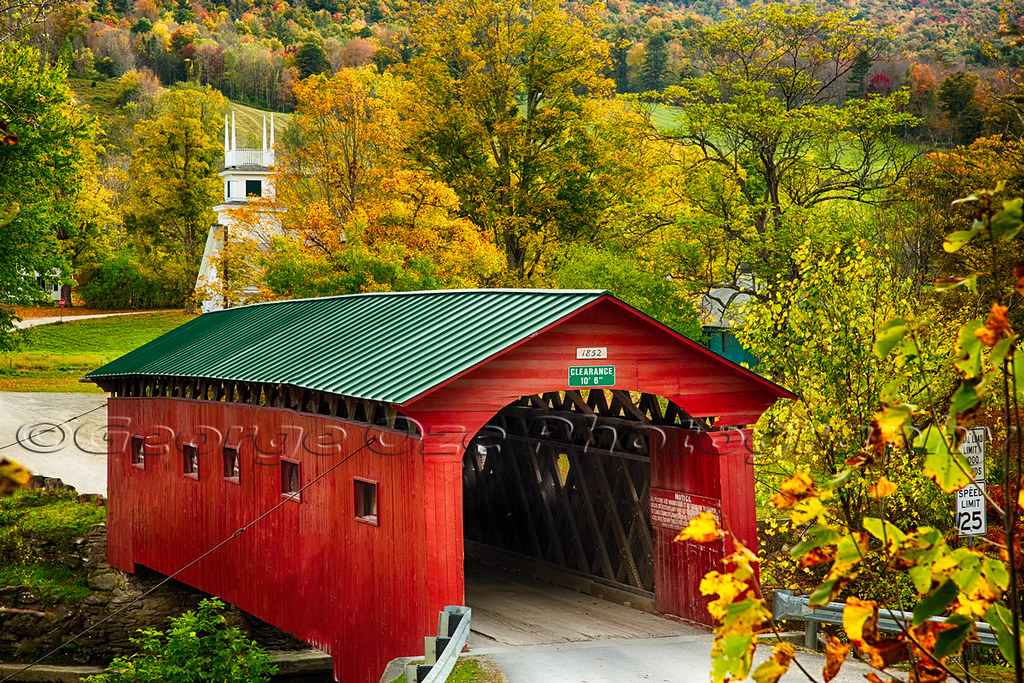
Scenic Covered Bridge of West Arlington

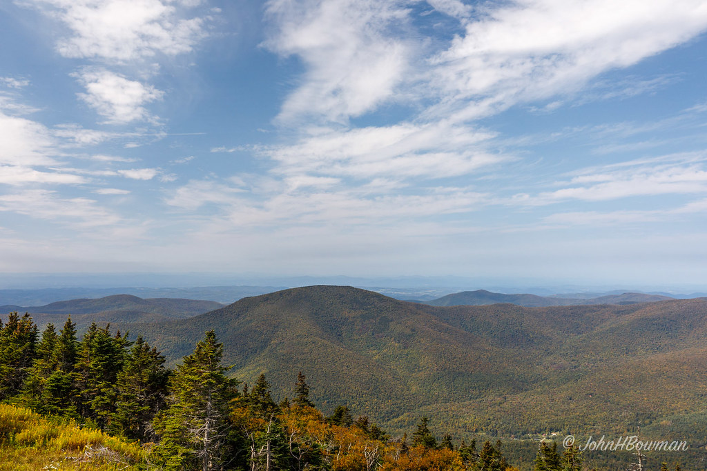
View West from Antone Mountain

View East from Antone Mountain
Fire Tower View. Cambridge, NY
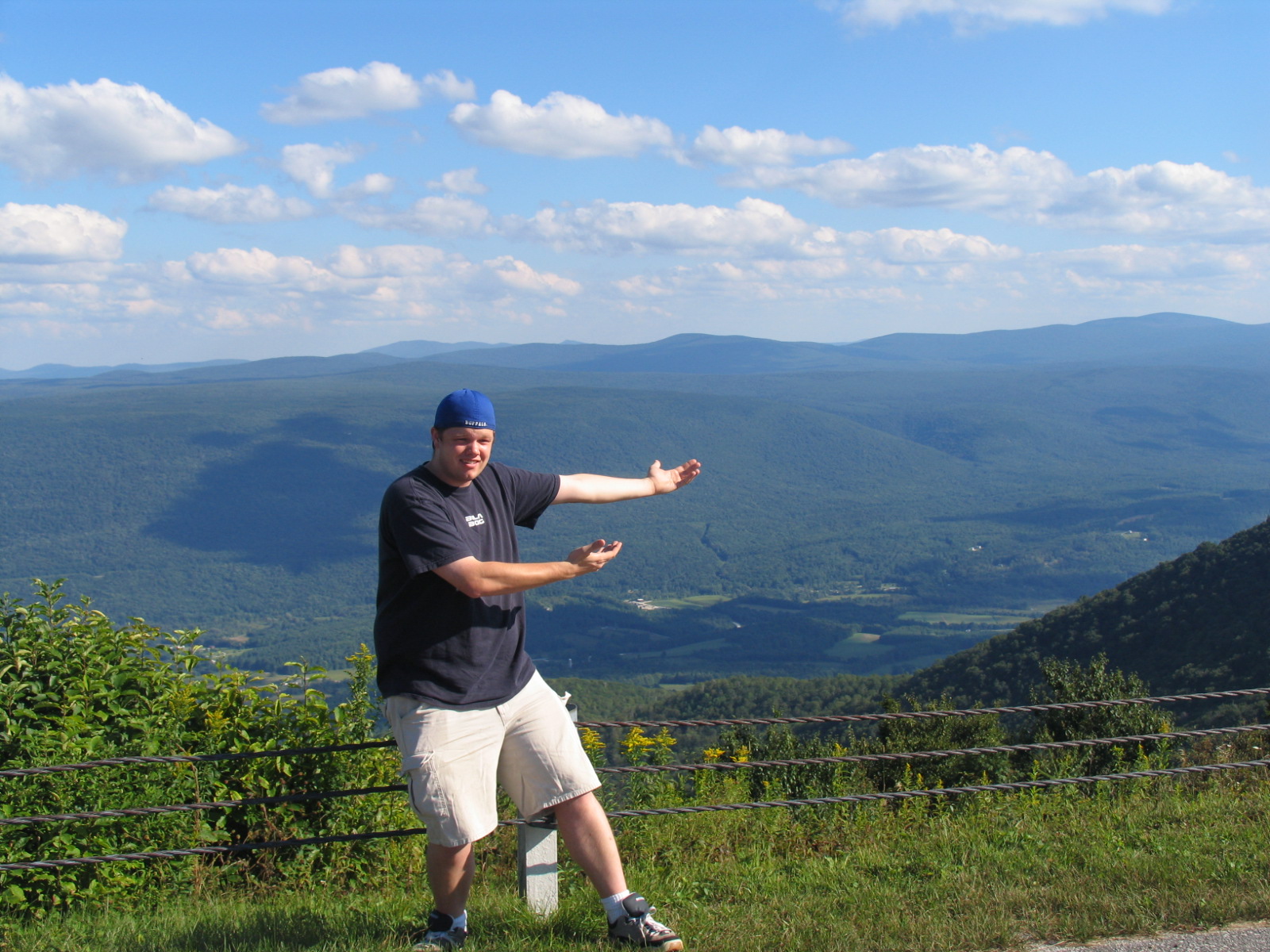
Doug presents the view from Mt. Equinox
Argyle Airport
BarkleyMt—Argyle
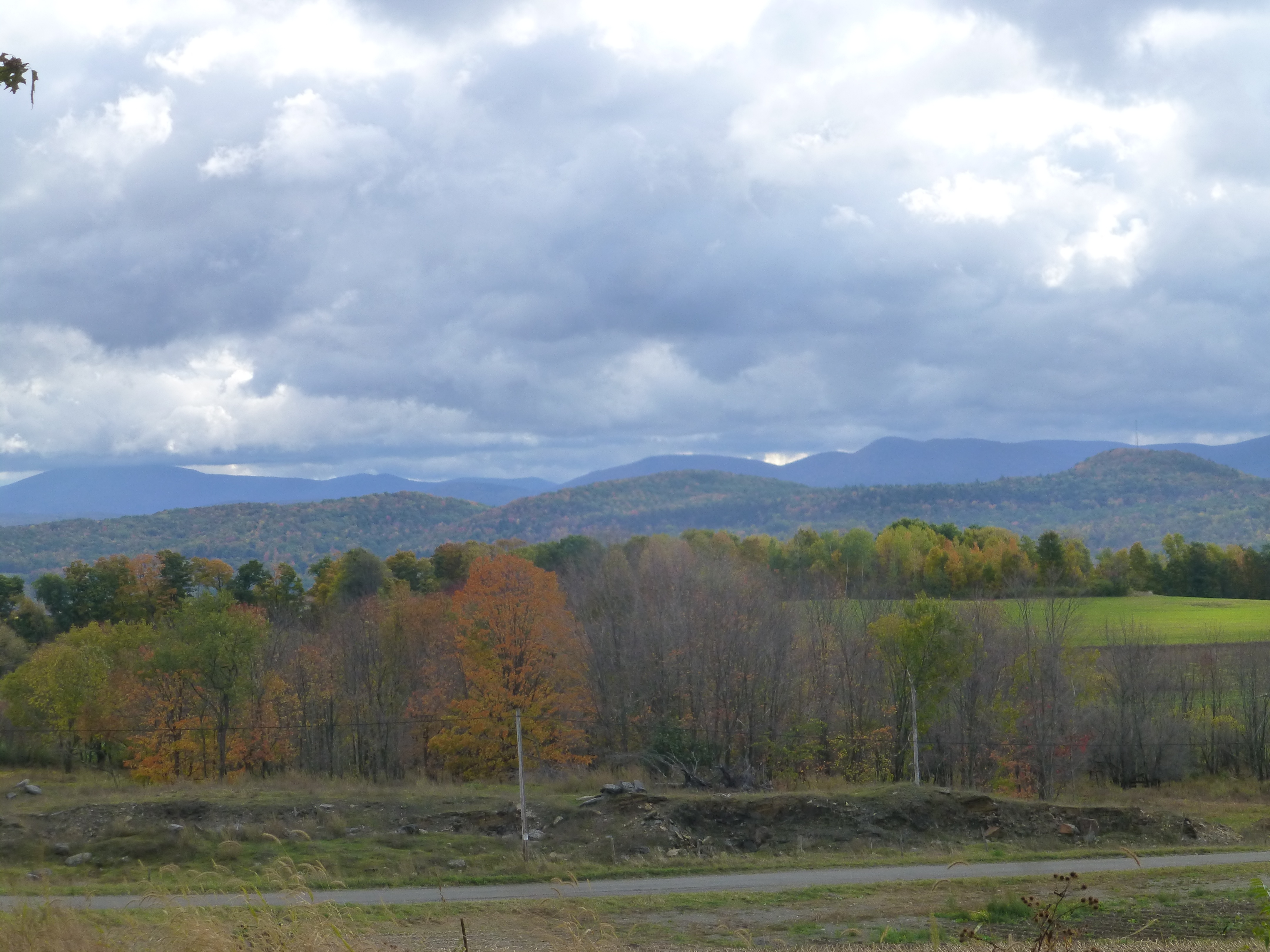
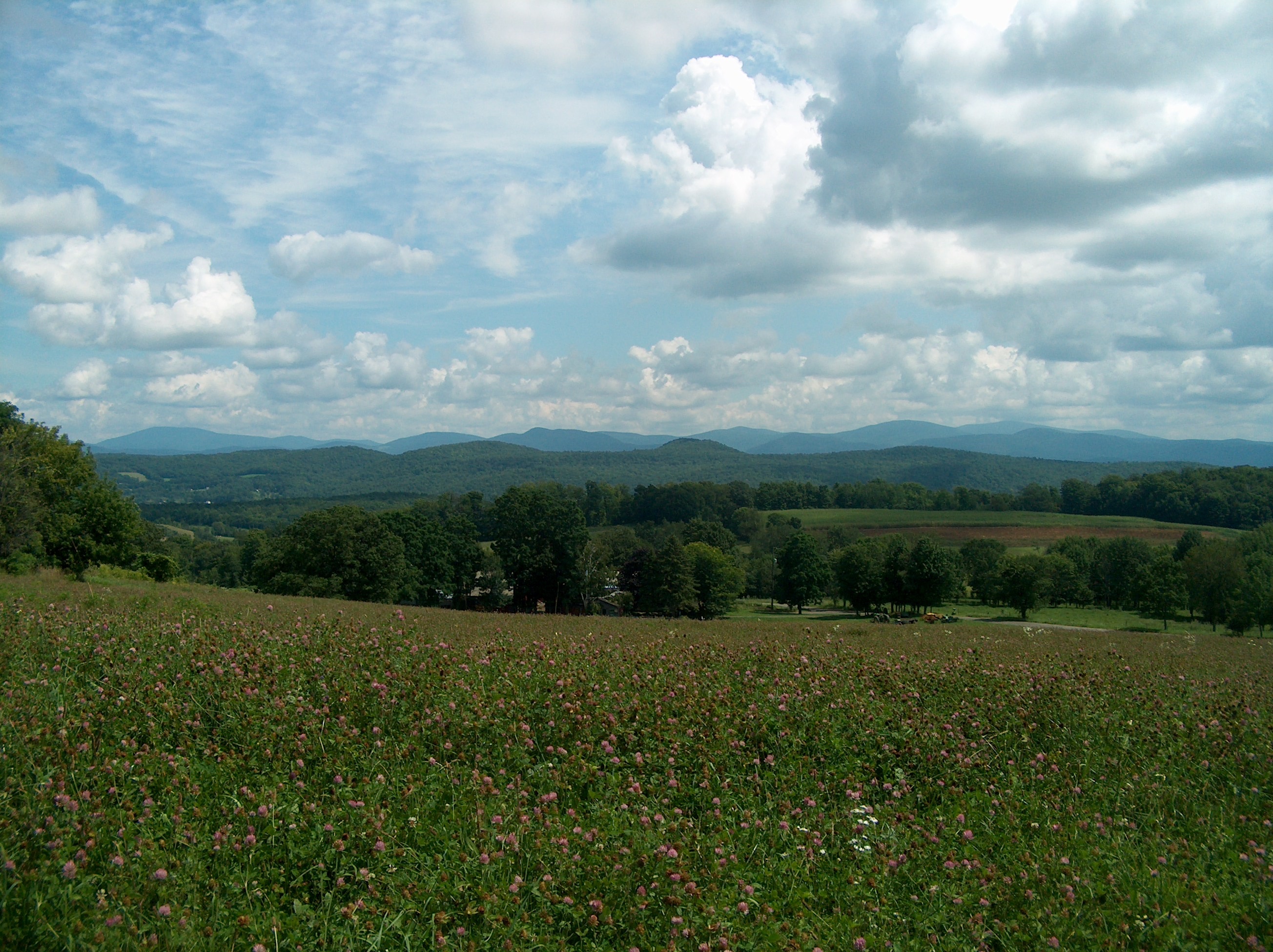
View of the SE Adirondacks, Callaway Rd., Hebron, NY
ArgyleView-HudsonChamplainValley
View of the northern Taconic Mts., NY-VT, from Callaway Rd.
Blind Buck Rd, Salem, NY, USA Map
Search another place
Near Places
Salem, NY, USA
S Main St, Salem, NY, USA
37 S Main St, Salem, NY, USA
97 W Broadway, Salem, NY, USA
Salem, NY, USA
Camden Valley Rd, Shushan, NY, USA
34 Briansky Ln, Salem, NY, USA
Allen Road, Allen Rd, Hebron, NY, USA
53 Perry Hill Rd, Shushan, NY, USA
12 Briansky Ln, Salem, NY, USA
97 Rexleigh Rd, Cambridge, NY, USA
NY-22, Salem, NY, USA
Ferguson Ln, Salem, NY, USA
Eagleville Rd, Shushan, NY, USA
Shushan, NY, USA
Eagleville Rd, Shushan, NY, USA
West Rupert, Rupert, VT, USA
65 Hedges Rd, Cambridge, NY, USA
92 W Sandgate Rd, Sandgate, VT, USA
Fire Tower Road, Fire Tower Rd, Cambridge, NY, USA
Recent Searches
- Sunrise Sunset Times of Red Dog Mine, AK, USA
- Sunrise Sunset Times of Am Bahnhof, Am bhf, Borken, Germany
- Sunrise Sunset Times of 4th St E, Sonoma, CA, USA
- Sunrise Sunset Times of Oakland Ave, Williamsport, PA, USA
- Sunrise Sunset Times of Via Roma, Pieranica CR, Italy
- Sunrise Sunset Times of Clock Tower of Dubrovnik, Grad, Dubrovnik, Croatia
- Sunrise Sunset Times of Trelew, Chubut Province, Argentina
- Sunrise Sunset Times of Hartfords Bluff Cir, Mt Pleasant, SC, USA
- Sunrise Sunset Times of Kita Ward, Kumamoto, Japan
- Sunrise Sunset Times of Pingtan Island, Pingtan County, Fuzhou, China