| Timezone: | Pacific Standard Time |
|---|---|
| Current Time: | Monday, November 16, 2026 10:28 PM |
| Longitude: | -118.7641075 |
| Latitude: | 48.9206816 |
| Sunrise Time Today: | 7:07:18 AM |
| Sunset Time Today: | 4:15:14 PM |
| Daylength Today: | 9h 7m 56s |
| Sunrise Time Tomorrow: | 7:08:51 AM |
| Sunset Time Tomorrow: | 4:14:06 PM |
| Daylength Tomorrow: | 9h 5m 14s |
: Show All Dates
| Date | Sunrise Time | Sunset Time | Daylength |
|---|---|---|---|
| Jan 1, 2026 | 7:50:03 AM | 4:08:39 PM | 8h 18m 35s |
| Feb 1, 2026 | 7:27:59 AM | 4:51:31 PM | 9h 23m 31s |
| Mar 1, 2026 | 6:40:30 AM | 5:37:37 PM | 10h 57m 6s |
| Apr 1, 2026 | 6:35:48 AM | 7:24:53 PM | 12h 49m 5s |
| May 1, 2026 | 5:37:13 AM | 8:09:41 PM | 14h 32m 28s |
| Jun 1, 2026 | 4:57:55 AM | 8:50:31 PM | 15h 52m 35s |
| Jul 1, 2026 | 4:55:56 AM | 9:03:49 PM | 16h 7m 52s |
| Aug 1, 2026 | 5:28:06 AM | 8:37:12 PM | 15h 9m 6s |
| Sep 1, 2026 | 6:11:48 AM | 7:41:58 PM | 13h 30m 10s |
| Oct 1, 2026 | 6:54:20 AM | 6:38:11 PM | 11h 43m 51s |
| Nov 1, 2026 | 7:41:44 AM | 5:38:03 PM | 9h 56m 18s |
| Nov 17, 2026 | 7:07:18 AM | 4:15:14 PM | 9h 7m 56s |
| Nov 18, 2026 | 7:08:51 AM | 4:14:06 PM | 9h 5m 14s |
| Dec 1, 2026 | 7:27:37 AM | 4:02:53 PM | 8h 35m 15s |
Sunrise & Sunset Photos

Morning After the Storm by vmf-214

Forest Sunset by Vurnman

Round the Bend by Slappy Vandelay
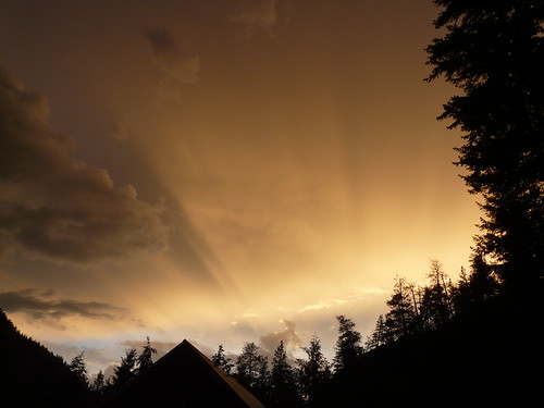
Flare by Vurnman

Round the Bend - Version 2 by Slappy Vandelay

Down the Road by Slappy Vandelay

DSC_0005 1k by fosterfanning

Sunset along the Crowsnest Highway by A. Wee

Kettle Valley sunset by A. Wee

Sunset drive by A. Wee