| Timezone: | China Standard Time |
|---|---|
| Current Time: | Wednesday, November 11, 2026 7:19 PM |
| Longitude: | 98.8225333 |
| Latitude: | 31.2128469 |
| Sunrise Time Today: | 7:49:24 AM |
| Sunset Time Today: | 6:30:40 PM |
| Daylength Today: | 10h 41m 16s |
| Sunrise Time Tomorrow: | 7:50:16 AM |
| Sunset Time Tomorrow: | 6:30:04 PM |
| Daylength Tomorrow: | 10h 39m 48s |
: Show All Dates
| Date | Sunrise Time | Sunset Time | Daylength |
|---|---|---|---|
| Jan 1, 2026 | 8:24:17 AM | 6:33:09 PM | 10h 8m 51s |
| Feb 1, 2026 | 8:19:12 AM | 6:59:25 PM | 10h 40m 12s |
| Mar 1, 2026 | 7:54:44 AM | 7:22:55 PM | 11h 28m 11s |
| Apr 1, 2026 | 7:16:35 AM | 7:43:47 PM | 12h 27m 11s |
| May 1, 2026 | 6:42:40 AM | 8:03:42 PM | 13h 21m 1s |
| Jun 1, 2026 | 6:23:11 AM | 8:24:23 PM | 14h 1m 11s |
| Jul 1, 2026 | 6:24:49 AM | 8:34:01 PM | 14h 9m 12s |
| Aug 1, 2026 | 6:41:41 AM | 8:22:57 PM | 13h 41m 16s |
| Sep 1, 2026 | 7:01:14 AM | 7:52:12 PM | 12h 50m 58s |
| Oct 1, 2026 | 7:18:35 AM | 7:13:38 PM | 11h 55m 2s |
| Nov 1, 2026 | 7:40:10 AM | 6:38:57 PM | 10h 58m 47s |
| Nov 11, 2026 | 7:48:32 AM | 6:31:19 PM | 10h 42m 46s |
| Nov 12, 2026 | 7:49:24 AM | 6:30:40 PM | 10h 41m 16s |
| Dec 1, 2026 | 8:05:49 AM | 6:23:33 PM | 10h 17m 44s |
Sunrise & Sunset Photos

The big Padmasambhava statue of Yarchen Gar at sunset, Tibet 2013 by reurinkjan

Engulfed by sunrise, Padmasambhava statue Yarchen Gar. Tibet 2013 by reurinkjan

Monk lodgings at Katok Monastery, Tibet 2018 by reurinkjan

The river Me Chu runs on the borders of Derge and Pelyül counties, Tibet 2013 by reurinkjan
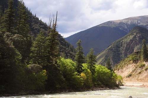
Ngu Chu river a tributary of the Dri Chu river, Tibet 2013 by reurinkjan

Headwaters of the Dri chu river (Yangtze), Tibet 2018 by reurinkjan

Into the clouds, Tibet 2018 by reurinkjan

Tibetan landscapes#16 by K2 Sue
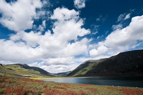
Tibetan landscapes#26 by K2 Sue
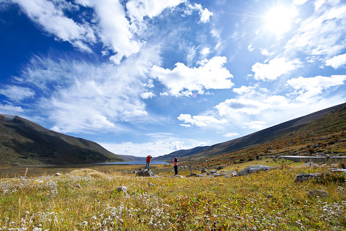
Tibetan landscapes#27 by K2 Sue

Tibetan landscapes#25 by K2 Sue
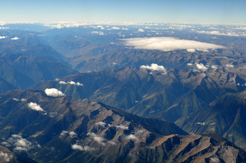
川藏线2011 318国道 by Neo Chenjie

Sunset - Ah Qing Monastery by Pic_Joy
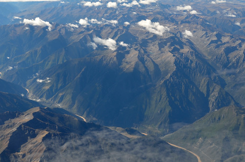
川藏线2011 318国道 by Neo Chenjie

白玉 by wfung99_2000