Tamonji, Kazo-shi, Saitama-ken -日本的日出日落時間表
Location: 日本 > 埼玉縣 > 加須市 >
時區:
Asia/Tokyo
當地時間:
2024-04-28 00:17:43
經度:
139.6230313
緯度:
36.1358021
今天日出時間:
04:52:41 AM
今天日落時間:
06:25:31 PM
今天日照時長:
13h 32m 50s
明天日出時間:
04:51:32 AM
明天日落時間:
06:26:23 PM
明天日照時長:
13h 34m 51s
顯示所有日期
| 日期 | 日出 | 日落 | 日照時長 |
|---|---|---|---|
| 2024年01月01日 | 06:52:15 AM | 04:37:10 PM | 9h 44m 55s |
| 2024年01月02日 | 06:52:25 AM | 04:37:56 PM | 9h 45m 31s |
| 2024年01月03日 | 06:52:34 AM | 04:38:43 PM | 9h 46m 9s |
| 2024年01月04日 | 06:52:41 AM | 04:39:32 PM | 9h 46m 51s |
| 2024年01月05日 | 06:52:46 AM | 04:40:22 PM | 9h 47m 36s |
| 2024年01月06日 | 06:52:48 AM | 04:41:12 PM | 9h 48m 24s |
| 2024年01月07日 | 06:52:49 AM | 04:42:04 PM | 9h 49m 15s |
| 2024年01月08日 | 06:52:48 AM | 04:42:57 PM | 9h 50m 9s |
| 2024年01月09日 | 06:52:45 AM | 04:43:51 PM | 9h 51m 6s |
| 2024年01月10日 | 06:52:40 AM | 04:44:45 PM | 9h 52m 5s |
| 2024年01月11日 | 06:52:33 AM | 04:45:41 PM | 9h 53m 8s |
| 2024年01月12日 | 06:52:24 AM | 04:46:37 PM | 9h 54m 13s |
| 2024年01月13日 | 06:52:13 AM | 04:47:35 PM | 9h 55m 22s |
| 2024年01月14日 | 06:52:00 AM | 04:48:33 PM | 9h 56m 33s |
| 2024年01月15日 | 06:51:45 AM | 04:49:31 PM | 9h 57m 46s |
| 2024年01月16日 | 06:51:28 AM | 04:50:30 PM | 9h 59m 2s |
| 2024年01月17日 | 06:51:10 AM | 04:51:30 PM | 10h 0m 20s |
| 2024年01月18日 | 06:50:49 AM | 04:52:31 PM | 10h 1m 42s |
| 2024年01月19日 | 06:50:26 AM | 04:53:31 PM | 10h 3m 5s |
| 2024年01月20日 | 06:50:02 AM | 04:54:33 PM | 10h 4m 31s |
| 2024年01月21日 | 06:49:35 AM | 04:55:34 PM | 10h 5m 59s |
| 2024年01月22日 | 06:49:07 AM | 04:56:36 PM | 10h 7m 29s |
| 2024年01月23日 | 06:48:37 AM | 04:57:39 PM | 10h 9m 2s |
| 2024年01月24日 | 06:48:05 AM | 04:58:41 PM | 10h 10m 36s |
| 2024年01月25日 | 06:47:31 AM | 04:59:44 PM | 10h 12m 13s |
| 2024年01月26日 | 06:46:56 AM | 05:00:47 PM | 10h 13m 51s |
| 2024年01月27日 | 06:46:18 AM | 05:01:50 PM | 10h 15m 32s |
| 2024年01月28日 | 06:45:39 AM | 05:02:54 PM | 10h 17m 15s |
| 2024年01月29日 | 06:44:59 AM | 05:03:57 PM | 10h 18m 58s |
| 2024年01月30日 | 06:44:16 AM | 05:05:01 PM | 10h 20m 45s |
| 2024年01月31日 | 06:43:32 AM | 05:06:04 PM | 10h 22m 32s |
| 2024年02月01日 | 06:42:47 AM | 05:07:07 PM | 10h 24m 20s |
| 2024年02月02日 | 06:41:59 AM | 05:08:11 PM | 10h 26m 12s |
| 2024年02月03日 | 06:41:11 AM | 05:09:14 PM | 10h 28m 3s |
| 2024年02月04日 | 06:40:20 AM | 05:10:18 PM | 10h 29m 58s |
| 2024年02月05日 | 06:39:28 AM | 05:11:21 PM | 10h 31m 53s |
| 2024年02月06日 | 06:38:35 AM | 05:12:24 PM | 10h 33m 49s |
| 2024年02月07日 | 06:37:40 AM | 05:13:27 PM | 10h 35m 47s |
| 2024年02月08日 | 06:36:44 AM | 05:14:29 PM | 10h 37m 45s |
| 2024年02月09日 | 06:35:47 AM | 05:15:32 PM | 10h 39m 45s |
| 2024年02月10日 | 06:34:48 AM | 05:16:34 PM | 10h 41m 46s |
| 2024年02月11日 | 06:33:47 AM | 05:17:36 PM | 10h 43m 49s |
| 2024年02月12日 | 06:32:46 AM | 05:18:38 PM | 10h 45m 52s |
| 2024年02月13日 | 06:31:43 AM | 05:19:40 PM | 10h 47m 57s |
| 2024年02月14日 | 06:30:39 AM | 05:20:41 PM | 10h 50m 2s |
| 2024年02月15日 | 06:29:34 AM | 05:21:42 PM | 10h 52m 8s |
| 2024年02月16日 | 06:28:27 AM | 05:22:42 PM | 10h 54m 15s |
| 2024年02月17日 | 06:27:20 AM | 05:23:43 PM | 10h 56m 23s |
| 2024年02月18日 | 06:26:11 AM | 05:24:43 PM | 10h 58m 32s |
| 2024年02月19日 | 06:25:01 AM | 05:25:43 PM | 11h 0m 42s |
| 2024年02月20日 | 06:23:51 AM | 05:26:42 PM | 11h 2m 51s |
| 2024年02月21日 | 06:22:39 AM | 05:27:41 PM | 11h 5m 2s |
| 2024年02月22日 | 06:21:26 AM | 05:28:40 PM | 11h 7m 14s |
| 2024年02月23日 | 06:20:12 AM | 05:29:39 PM | 11h 9m 27s |
| 2024年02月24日 | 06:18:58 AM | 05:30:37 PM | 11h 11m 39s |
| 2024年02月25日 | 06:17:42 AM | 05:31:34 PM | 11h 13m 52s |
| 2024年02月26日 | 06:16:26 AM | 05:32:32 PM | 11h 16m 6s |
| 2024年02月27日 | 06:15:09 AM | 05:33:29 PM | 11h 18m 20s |
| 2024年02月28日 | 06:13:51 AM | 05:34:26 PM | 11h 20m 35s |
| 2024年02月29日 | 06:12:33 AM | 05:35:22 PM | 11h 22m 49s |
| 2024年03月01日 | 06:11:13 AM | 05:36:19 PM | 11h 25m 6s |
| 2024年03月02日 | 06:09:53 AM | 05:37:14 PM | 11h 27m 21s |
| 2024年03月03日 | 06:08:33 AM | 05:38:10 PM | 11h 29m 37s |
| 2024年03月04日 | 06:07:11 AM | 05:39:05 PM | 11h 31m 54s |
| 2024年03月05日 | 06:05:50 AM | 05:40:00 PM | 11h 34m 10s |
| 2024年03月06日 | 06:04:27 AM | 05:40:55 PM | 11h 36m 28s |
| 2024年03月07日 | 06:03:04 AM | 05:41:49 PM | 11h 38m 45s |
| 2024年03月08日 | 06:01:41 AM | 05:42:43 PM | 11h 41m 2s |
| 2024年03月09日 | 06:00:17 AM | 05:43:37 PM | 11h 43m 20s |
| 2024年03月10日 | 05:58:53 AM | 05:44:31 PM | 11h 45m 38s |
| 2024年03月11日 | 05:57:28 AM | 05:45:24 PM | 11h 47m 56s |
| 2024年03月12日 | 05:56:03 AM | 05:46:17 PM | 11h 50m 14s |
| 2024年03月13日 | 05:54:37 AM | 05:47:10 PM | 11h 52m 33s |
| 2024年03月14日 | 05:53:12 AM | 05:48:03 PM | 11h 54m 51s |
| 2024年03月15日 | 05:51:46 AM | 05:48:55 PM | 11h 57m 9s |
| 2024年03月16日 | 05:50:19 AM | 05:49:47 PM | 11h 59m 28s |
| 2024年03月17日 | 05:48:53 AM | 05:50:39 PM | 12h 1m 46s |
| 2024年03月18日 | 05:47:26 AM | 05:51:31 PM | 12h 4m 5s |
| 2024年03月19日 | 05:45:59 AM | 05:52:23 PM | 12h 6m 24s |
| 2024年03月20日 | 05:44:33 AM | 05:53:14 PM | 12h 8m 41s |
| 2024年03月21日 | 05:43:05 AM | 05:54:06 PM | 12h 11m 1s |
| 2024年03月22日 | 05:41:38 AM | 05:54:57 PM | 12h 13m 19s |
| 2024年03月23日 | 05:40:11 AM | 05:55:48 PM | 12h 15m 37s |
| 2024年03月24日 | 05:38:44 AM | 05:56:39 PM | 12h 17m 55s |
| 2024年03月25日 | 05:37:17 AM | 05:57:30 PM | 12h 20m 13s |
| 2024年03月26日 | 05:35:50 AM | 05:58:21 PM | 12h 22m 31s |
| 2024年03月27日 | 05:34:23 AM | 05:59:12 PM | 12h 24m 49s |
| 2024年03月28日 | 05:32:56 AM | 06:00:03 PM | 12h 27m 7s |
| 2024年03月29日 | 05:31:29 AM | 06:00:53 PM | 12h 29m 24s |
| 2024年03月30日 | 05:30:02 AM | 06:01:44 PM | 12h 31m 42s |
| 2024年03月31日 | 05:28:36 AM | 06:02:35 PM | 12h 33m 59s |
| 2024年04月01日 | 05:27:10 AM | 06:03:25 PM | 12h 36m 15s |
| 2024年04月02日 | 05:25:44 AM | 06:04:16 PM | 12h 38m 32s |
| 2024年04月03日 | 05:24:18 AM | 06:05:06 PM | 12h 40m 48s |
| 2024年04月04日 | 05:22:53 AM | 06:05:57 PM | 12h 43m 4s |
| 2024年04月05日 | 05:21:28 AM | 06:06:47 PM | 12h 45m 19s |
| 2024年04月06日 | 05:20:03 AM | 06:07:38 PM | 12h 47m 35s |
| 2024年04月07日 | 05:18:39 AM | 06:08:28 PM | 12h 49m 49s |
| 2024年04月08日 | 05:17:15 AM | 06:09:19 PM | 12h 52m 4s |
| 2024年04月09日 | 05:15:52 AM | 06:10:10 PM | 12h 54m 18s |
| 2024年04月10日 | 05:14:29 AM | 06:11:00 PM | 12h 56m 31s |
| 2024年04月11日 | 05:13:07 AM | 06:11:51 PM | 12h 58m 44s |
| 2024年04月12日 | 05:11:45 AM | 06:12:42 PM | 13h 0m 57s |
| 2024年04月13日 | 05:10:24 AM | 06:13:33 PM | 13h 3m 9s |
| 2024年04月14日 | 05:09:03 AM | 06:14:23 PM | 13h 5m 20s |
| 2024年04月15日 | 05:07:43 AM | 06:15:14 PM | 13h 7m 31s |
| 2024年04月16日 | 05:06:24 AM | 06:16:05 PM | 13h 9m 41s |
| 2024年04月17日 | 05:05:06 AM | 06:16:56 PM | 13h 11m 50s |
| 2024年04月18日 | 05:03:48 AM | 06:17:47 PM | 13h 13m 59s |
| 2024年04月19日 | 05:02:31 AM | 06:18:38 PM | 13h 16m 7s |
| 2024年04月20日 | 05:01:14 AM | 06:19:30 PM | 13h 18m 16s |
| 2024年04月21日 | 04:59:59 AM | 06:20:21 PM | 13h 20m 22s |
| 2024年04月22日 | 04:58:44 AM | 06:21:12 PM | 13h 22m 28s |
| 2024年04月23日 | 04:57:30 AM | 06:22:03 PM | 13h 24m 33s |
| 2024年04月24日 | 04:56:17 AM | 06:22:55 PM | 13h 26m 38s |
| 2024年04月25日 | 04:55:05 AM | 06:23:46 PM | 13h 28m 41s |
| 2024年04月26日 | 04:53:54 AM | 06:24:38 PM | 13h 30m 44s |
| 2024年04月27日 | 04:52:44 AM | 06:25:29 PM | 13h 32m 45s |
| 2024年04月28日 | 04:51:35 AM | 06:26:20 PM | 13h 34m 45s |
| 2024年04月29日 | 04:50:27 AM | 06:27:12 PM | 13h 36m 45s |
| 2024年04月30日 | 04:49:20 AM | 06:28:03 PM | 13h 38m 43s |
| 2024年05月01日 | 04:48:15 AM | 06:28:55 PM | 13h 40m 40s |
| 2024年05月02日 | 04:47:10 AM | 06:29:46 PM | 13h 42m 36s |
| 2024年05月03日 | 04:46:06 AM | 06:30:37 PM | 13h 44m 31s |
| 2024年05月04日 | 04:45:04 AM | 06:31:28 PM | 13h 46m 24s |
| 2024年05月05日 | 04:44:03 AM | 06:32:19 PM | 13h 48m 16s |
| 2024年05月06日 | 04:43:03 AM | 06:33:10 PM | 13h 50m 7s |
| 2024年05月07日 | 04:42:04 AM | 06:34:01 PM | 13h 51m 57s |
| 2024年05月08日 | 04:41:07 AM | 06:34:52 PM | 13h 53m 45s |
| 2024年05月09日 | 04:40:11 AM | 06:35:42 PM | 13h 55m 31s |
| 2024年05月10日 | 04:39:16 AM | 06:36:33 PM | 13h 57m 17s |
| 2024年05月11日 | 04:38:23 AM | 06:37:23 PM | 13h 59m 0s |
| 2024年05月12日 | 04:37:31 AM | 06:38:13 PM | 14h 0m 42s |
| 2024年05月13日 | 04:36:40 AM | 06:39:02 PM | 14h 2m 22s |
| 2024年05月14日 | 04:35:51 AM | 06:39:51 PM | 14h 4m 0s |
| 2024年05月15日 | 04:35:04 AM | 06:40:40 PM | 14h 5m 36s |
| 2024年05月16日 | 04:34:18 AM | 06:41:29 PM | 14h 7m 11s |
| 2024年05月17日 | 04:33:33 AM | 06:42:17 PM | 14h 8m 44s |
| 2024年05月18日 | 04:32:50 AM | 06:43:05 PM | 14h 10m 15s |
| 2024年05月19日 | 04:32:08 AM | 06:43:52 PM | 14h 11m 44s |
| 2024年05月20日 | 04:31:28 AM | 06:44:39 PM | 14h 13m 11s |
| 2024年05月21日 | 04:30:50 AM | 06:45:26 PM | 14h 14m 36s |
| 2024年05月22日 | 04:30:13 AM | 06:46:12 PM | 14h 15m 59s |
| 2024年05月23日 | 04:29:37 AM | 06:46:57 PM | 14h 17m 20s |
| 2024年05月24日 | 04:29:04 AM | 06:47:42 PM | 14h 18m 38s |
| 2024年05月25日 | 04:28:32 AM | 06:48:26 PM | 14h 19m 54s |
| 2024年05月26日 | 04:28:01 AM | 06:49:09 PM | 14h 21m 8s |
| 2024年05月27日 | 04:27:33 AM | 06:49:52 PM | 14h 22m 19s |
| 2024年05月28日 | 04:27:06 AM | 06:50:34 PM | 14h 23m 28s |
| 2024年05月29日 | 04:26:40 AM | 06:51:15 PM | 14h 24m 35s |
| 2024年05月30日 | 04:26:17 AM | 06:51:55 PM | 14h 25m 38s |
| 2024年05月31日 | 04:25:55 AM | 06:52:35 PM | 14h 26m 40s |
| 2024年06月01日 | 04:25:34 AM | 06:53:13 PM | 14h 27m 39s |
| 2024年06月02日 | 04:25:16 AM | 06:53:51 PM | 14h 28m 35s |
| 2024年06月03日 | 04:24:59 AM | 06:54:27 PM | 14h 29m 28s |
| 2024年06月04日 | 04:24:44 AM | 06:55:03 PM | 14h 30m 19s |
| 2024年06月05日 | 04:24:31 AM | 06:55:38 PM | 14h 31m 7s |
| 2024年06月06日 | 04:24:19 AM | 06:56:11 PM | 14h 31m 52s |
| 2024年06月07日 | 04:24:09 AM | 06:56:44 PM | 14h 32m 35s |
| 2024年06月08日 | 04:24:01 AM | 06:57:15 PM | 14h 33m 14s |
| 2024年06月09日 | 04:23:54 AM | 06:57:45 PM | 14h 33m 51s |
| 2024年06月10日 | 04:23:49 AM | 06:58:14 PM | 14h 34m 25s |
| 2024年06月11日 | 04:23:46 AM | 06:58:41 PM | 14h 34m 55s |
| 2024年06月12日 | 04:23:45 AM | 06:59:08 PM | 14h 35m 23s |
| 2024年06月13日 | 04:23:45 AM | 06:59:32 PM | 14h 35m 47s |
| 2024年06月14日 | 04:23:47 AM | 06:59:56 PM | 14h 36m 9s |
| 2024年06月15日 | 04:23:50 AM | 07:00:18 PM | 14h 36m 28s |
| 2024年06月16日 | 04:23:55 AM | 07:00:39 PM | 14h 36m 44s |
| 2024年06月17日 | 04:24:02 AM | 07:00:58 PM | 14h 36m 56s |
| 2024年06月18日 | 04:24:10 AM | 07:01:16 PM | 14h 37m 6s |
| 2024年06月19日 | 04:24:20 AM | 07:01:33 PM | 14h 37m 13s |
| 2024年06月20日 | 04:24:31 AM | 07:01:47 PM | 14h 37m 16s |
| 2024年06月21日 | 04:24:44 AM | 07:02:01 PM | 14h 37m 17s |
| 2024年06月22日 | 04:24:58 AM | 07:02:12 PM | 14h 37m 14s |
| 2024年06月23日 | 04:25:14 AM | 07:02:22 PM | 14h 37m 8s |
| 2024年06月24日 | 04:25:32 AM | 07:02:31 PM | 14h 36m 59s |
| 2024年06月25日 | 04:25:50 AM | 07:02:38 PM | 14h 36m 48s |
| 2024年06月26日 | 04:26:10 AM | 07:02:43 PM | 14h 36m 33s |
| 2024年06月27日 | 04:26:32 AM | 07:02:46 PM | 14h 36m 14s |
| 2024年06月28日 | 04:26:55 AM | 07:02:48 PM | 14h 35m 53s |
| 2024年06月29日 | 04:27:19 AM | 07:02:48 PM | 14h 35m 29s |
| 2024年06月30日 | 04:27:44 AM | 07:02:46 PM | 14h 35m 2s |
| 2024年07月01日 | 04:28:11 AM | 07:02:43 PM | 14h 34m 32s |
| 2024年07月02日 | 04:28:38 AM | 07:02:38 PM | 14h 34m 0s |
| 2024年07月03日 | 04:29:07 AM | 07:02:31 PM | 14h 33m 24s |
| 2024年07月04日 | 04:29:37 AM | 07:02:23 PM | 14h 32m 46s |
| 2024年07月05日 | 04:30:08 AM | 07:02:12 PM | 14h 32m 4s |
| 2024年07月06日 | 04:30:41 AM | 07:02:00 PM | 14h 31m 19s |
| 2024年07月07日 | 04:31:14 AM | 07:01:46 PM | 14h 30m 32s |
| 2024年07月08日 | 04:31:48 AM | 07:01:31 PM | 14h 29m 43s |
| 2024年07月09日 | 04:32:23 AM | 07:01:13 PM | 14h 28m 50s |
| 2024年07月10日 | 04:32:59 AM | 07:00:54 PM | 14h 27m 55s |
| 2024年07月11日 | 04:33:36 AM | 07:00:34 PM | 14h 26m 58s |
| 2024年07月12日 | 04:34:14 AM | 07:00:11 PM | 14h 25m 57s |
| 2024年07月13日 | 04:34:52 AM | 06:59:47 PM | 14h 24m 55s |
| 2024年07月14日 | 04:35:32 AM | 06:59:21 PM | 14h 23m 49s |
| 2024年07月15日 | 04:36:12 AM | 06:58:53 PM | 14h 22m 41s |
| 2024年07月16日 | 04:36:52 AM | 06:58:23 PM | 14h 21m 31s |
| 2024年07月17日 | 04:37:34 AM | 06:57:52 PM | 14h 20m 18s |
| 2024年07月18日 | 04:38:16 AM | 06:57:19 PM | 14h 19m 3s |
| 2024年07月19日 | 04:38:58 AM | 06:56:45 PM | 14h 17m 47s |
| 2024年07月20日 | 04:39:41 AM | 06:56:09 PM | 14h 16m 28s |
| 2024年07月21日 | 04:40:25 AM | 06:55:31 PM | 14h 15m 6s |
| 2024年07月22日 | 04:41:09 AM | 06:54:51 PM | 14h 13m 42s |
| 2024年07月23日 | 04:41:53 AM | 06:54:10 PM | 14h 12m 17s |
| 2024年07月24日 | 04:42:38 AM | 06:53:28 PM | 14h 10m 50s |
| 2024年07月25日 | 04:43:24 AM | 06:52:44 PM | 14h 9m 20s |
| 2024年07月26日 | 04:44:09 AM | 06:51:58 PM | 14h 7m 49s |
| 2024年07月27日 | 04:44:55 AM | 06:51:11 PM | 14h 6m 16s |
| 2024年07月28日 | 04:45:41 AM | 06:50:22 PM | 14h 4m 41s |
| 2024年07月29日 | 04:46:28 AM | 06:49:32 PM | 14h 3m 4s |
| 2024年07月30日 | 04:47:15 AM | 06:48:40 PM | 14h 1m 25s |
| 2024年07月31日 | 04:48:02 AM | 06:47:47 PM | 13h 59m 45s |
| 2024年08月01日 | 04:48:49 AM | 06:46:52 PM | 13h 58m 3s |
| 2024年08月02日 | 04:49:36 AM | 06:45:56 PM | 13h 56m 20s |
| 2024年08月03日 | 04:50:24 AM | 06:44:59 PM | 13h 54m 35s |
| 2024年08月04日 | 04:51:11 AM | 06:44:01 PM | 13h 52m 50s |
| 2024年08月05日 | 04:51:59 AM | 06:43:01 PM | 13h 51m 2s |
| 2024年08月06日 | 04:52:47 AM | 06:42:00 PM | 13h 49m 13s |
| 2024年08月07日 | 04:53:35 AM | 06:40:57 PM | 13h 47m 22s |
| 2024年08月08日 | 04:54:23 AM | 06:39:53 PM | 13h 45m 30s |
| 2024年08月09日 | 04:55:11 AM | 06:38:49 PM | 13h 43m 38s |
| 2024年08月10日 | 04:55:59 AM | 06:37:43 PM | 13h 41m 44s |
| 2024年08月11日 | 04:56:47 AM | 06:36:35 PM | 13h 39m 48s |
| 2024年08月12日 | 04:57:35 AM | 06:35:27 PM | 13h 37m 52s |
| 2024年08月13日 | 04:58:23 AM | 06:34:18 PM | 13h 35m 55s |
| 2024年08月14日 | 04:59:11 AM | 06:33:07 PM | 13h 33m 56s |
| 2024年08月15日 | 04:59:58 AM | 06:31:56 PM | 13h 31m 58s |
| 2024年08月16日 | 05:00:46 AM | 06:30:43 PM | 13h 29m 57s |
| 2024年08月17日 | 05:01:34 AM | 06:29:30 PM | 13h 27m 56s |
| 2024年08月18日 | 05:02:22 AM | 06:28:15 PM | 13h 25m 53s |
| 2024年08月19日 | 05:03:09 AM | 06:27:00 PM | 13h 23m 51s |
| 2024年08月20日 | 05:03:57 AM | 06:25:44 PM | 13h 21m 47s |
| 2024年08月21日 | 05:04:44 AM | 06:24:27 PM | 13h 19m 43s |
| 2024年08月22日 | 05:05:32 AM | 06:23:09 PM | 13h 17m 37s |
| 2024年08月23日 | 05:06:19 AM | 06:21:50 PM | 13h 15m 31s |
| 2024年08月24日 | 05:07:06 AM | 06:20:31 PM | 13h 13m 25s |
| 2024年08月25日 | 05:07:53 AM | 06:19:11 PM | 13h 11m 18s |
| 2024年08月26日 | 05:08:41 AM | 06:17:50 PM | 13h 9m 9s |
| 2024年08月27日 | 05:09:28 AM | 06:16:28 PM | 13h 7m 0s |
| 2024年08月28日 | 05:10:14 AM | 06:15:06 PM | 13h 4m 52s |
| 2024年08月29日 | 05:11:01 AM | 06:13:43 PM | 13h 2m 42s |
| 2024年08月30日 | 05:11:48 AM | 06:12:19 PM | 13h 0m 31s |
| 2024年08月31日 | 05:12:35 AM | 06:10:55 PM | 12h 58m 20s |
| 2024年09月01日 | 05:13:21 AM | 06:09:31 PM | 12h 56m 10s |
| 2024年09月02日 | 05:14:08 AM | 06:08:06 PM | 12h 53m 58s |
| 2024年09月03日 | 05:14:54 AM | 06:06:40 PM | 12h 51m 46s |
| 2024年09月04日 | 05:15:40 AM | 06:05:14 PM | 12h 49m 34s |
| 2024年09月05日 | 05:16:27 AM | 06:03:47 PM | 12h 47m 20s |
| 2024年09月06日 | 05:17:13 AM | 06:02:20 PM | 12h 45m 7s |
| 2024年09月07日 | 05:17:59 AM | 06:00:53 PM | 12h 42m 54s |
| 2024年09月08日 | 05:18:46 AM | 05:59:26 PM | 12h 40m 40s |
| 2024年09月09日 | 05:19:32 AM | 05:57:58 PM | 12h 38m 26s |
| 2024年09月10日 | 05:20:18 AM | 05:56:29 PM | 12h 36m 11s |
| 2024年09月11日 | 05:21:04 AM | 05:55:01 PM | 12h 33m 57s |
| 2024年09月12日 | 05:21:51 AM | 05:53:32 PM | 12h 31m 41s |
| 2024年09月13日 | 05:22:37 AM | 05:52:03 PM | 12h 29m 26s |
| 2024年09月14日 | 05:23:23 AM | 05:50:34 PM | 12h 27m 11s |
| 2024年09月15日 | 05:24:10 AM | 05:49:05 PM | 12h 24m 55s |
| 2024年09月16日 | 05:24:56 AM | 05:47:36 PM | 12h 22m 40s |
| 2024年09月17日 | 05:25:42 AM | 05:46:07 PM | 12h 20m 25s |
| 2024年09月18日 | 05:26:29 AM | 05:44:37 PM | 12h 18m 8s |
| 2024年09月19日 | 05:27:16 AM | 05:43:08 PM | 12h 15m 52s |
| 2024年09月20日 | 05:28:02 AM | 05:41:38 PM | 12h 13m 36s |
| 2024年09月21日 | 05:28:49 AM | 05:40:09 PM | 12h 11m 20s |
| 2024年09月22日 | 05:29:36 AM | 05:38:39 PM | 12h 9m 3s |
| 2024年09月23日 | 05:30:23 AM | 05:37:10 PM | 12h 6m 47s |
| 2024年09月24日 | 05:31:11 AM | 05:35:41 PM | 12h 4m 30s |
| 2024年09月25日 | 05:31:58 AM | 05:34:12 PM | 12h 2m 14s |
| 2024年09月26日 | 05:32:46 AM | 05:32:43 PM | 11h 59m 57s |
| 2024年09月27日 | 05:33:33 AM | 05:31:15 PM | 11h 57m 42s |
| 2024年09月28日 | 05:34:21 AM | 05:29:46 PM | 11h 55m 25s |
| 2024年09月29日 | 05:35:10 AM | 05:28:18 PM | 11h 53m 8s |
| 2024年09月30日 | 05:35:58 AM | 05:26:50 PM | 11h 50m 52s |
| 2024年10月01日 | 05:36:47 AM | 05:25:23 PM | 11h 48m 36s |
| 2024年10月02日 | 05:37:36 AM | 05:23:56 PM | 11h 46m 20s |
| 2024年10月03日 | 05:38:25 AM | 05:22:29 PM | 11h 44m 4s |
| 2024年10月04日 | 05:39:14 AM | 05:21:03 PM | 11h 41m 49s |
| 2024年10月05日 | 05:40:04 AM | 05:19:37 PM | 11h 39m 33s |
| 2024年10月06日 | 05:40:54 AM | 05:18:12 PM | 11h 37m 18s |
| 2024年10月07日 | 05:41:44 AM | 05:16:47 PM | 11h 35m 3s |
| 2024年10月08日 | 05:42:34 AM | 05:15:22 PM | 11h 32m 48s |
| 2024年10月09日 | 05:43:25 AM | 05:13:58 PM | 11h 30m 33s |
| 2024年10月10日 | 05:44:16 AM | 05:12:35 PM | 11h 28m 19s |
| 2024年10月11日 | 05:45:08 AM | 05:11:13 PM | 11h 26m 5s |
| 2024年10月12日 | 05:46:00 AM | 05:09:51 PM | 11h 23m 51s |
| 2024年10月13日 | 05:46:52 AM | 05:08:30 PM | 11h 21m 38s |
| 2024年10月14日 | 05:47:44 AM | 05:07:09 PM | 11h 19m 25s |
| 2024年10月15日 | 05:48:37 AM | 05:05:50 PM | 11h 17m 13s |
| 2024年10月16日 | 05:49:30 AM | 05:04:31 PM | 11h 15m 1s |
| 2024年10月17日 | 05:50:24 AM | 05:03:12 PM | 11h 12m 48s |
| 2024年10月18日 | 05:51:18 AM | 05:01:55 PM | 11h 10m 37s |
| 2024年10月19日 | 05:52:12 AM | 05:00:39 PM | 11h 8m 27s |
| 2024年10月20日 | 05:53:06 AM | 04:59:23 PM | 11h 6m 17s |
| 2024年10月21日 | 05:54:01 AM | 04:58:09 PM | 11h 4m 8s |
| 2024年10月22日 | 05:54:57 AM | 04:56:55 PM | 11h 1m 58s |
| 2024年10月23日 | 05:55:52 AM | 04:55:43 PM | 10h 59m 51s |
| 2024年10月24日 | 05:56:48 AM | 04:54:31 PM | 10h 57m 43s |
| 2024年10月25日 | 05:57:45 AM | 04:53:21 PM | 10h 55m 36s |
| 2024年10月26日 | 05:58:41 AM | 04:52:12 PM | 10h 53m 31s |
| 2024年10月27日 | 05:59:38 AM | 04:51:03 PM | 10h 51m 25s |
| 2024年10月28日 | 06:00:36 AM | 04:49:56 PM | 10h 49m 20s |
| 2024年10月29日 | 06:01:33 AM | 04:48:51 PM | 10h 47m 18s |
| 2024年10月30日 | 06:02:31 AM | 04:47:46 PM | 10h 45m 15s |
| 2024年10月31日 | 06:03:30 AM | 04:46:43 PM | 10h 43m 13s |
| 2024年11月01日 | 06:04:28 AM | 04:45:41 PM | 10h 41m 13s |
| 2024年11月02日 | 06:05:27 AM | 04:44:40 PM | 10h 39m 13s |
| 2024年11月03日 | 06:06:26 AM | 04:43:41 PM | 10h 37m 15s |
| 2024年11月04日 | 06:07:26 AM | 04:42:43 PM | 10h 35m 17s |
| 2024年11月05日 | 06:08:25 AM | 04:41:46 PM | 10h 33m 21s |
| 2024年11月06日 | 06:09:25 AM | 04:40:51 PM | 10h 31m 26s |
| 2024年11月07日 | 06:10:25 AM | 04:39:58 PM | 10h 29m 33s |
| 2024年11月08日 | 06:11:25 AM | 04:39:06 PM | 10h 27m 41s |
| 2024年11月09日 | 06:12:25 AM | 04:38:15 PM | 10h 25m 50s |
| 2024年11月10日 | 06:13:26 AM | 04:37:26 PM | 10h 24m 0s |
| 2024年11月11日 | 06:14:26 AM | 04:36:39 PM | 10h 22m 13s |
| 2024年11月12日 | 06:15:27 AM | 04:35:54 PM | 10h 20m 27s |
| 2024年11月13日 | 06:16:27 AM | 04:35:10 PM | 10h 18m 43s |
| 2024年11月14日 | 06:17:28 AM | 04:34:27 PM | 10h 16m 59s |
| 2024年11月15日 | 06:18:28 AM | 04:33:47 PM | 10h 15m 19s |
| 2024年11月16日 | 06:19:29 AM | 04:33:08 PM | 10h 13m 39s |
| 2024年11月17日 | 06:20:29 AM | 04:32:31 PM | 10h 12m 2s |
| 2024年11月18日 | 06:21:30 AM | 04:31:56 PM | 10h 10m 26s |
| 2024年11月19日 | 06:22:30 AM | 04:31:22 PM | 10h 8m 52s |
| 2024年11月20日 | 06:23:30 AM | 04:30:51 PM | 10h 7m 21s |
| 2024年11月21日 | 06:24:29 AM | 04:30:21 PM | 10h 5m 52s |
| 2024年11月22日 | 06:25:29 AM | 04:29:53 PM | 10h 4m 24s |
| 2024年11月23日 | 06:26:28 AM | 04:29:27 PM | 10h 2m 59s |
| 2024年11月24日 | 06:27:26 AM | 04:29:03 PM | 10h 1m 37s |
| 2024年11月25日 | 06:28:25 AM | 04:28:41 PM | 10h 0m 16s |
| 2024年11月26日 | 06:29:22 AM | 04:28:21 PM | 9h 58m 59s |
| 2024年11月27日 | 06:30:20 AM | 04:28:03 PM | 9h 57m 43s |
| 2024年11月28日 | 06:31:16 AM | 04:27:46 PM | 9h 56m 30s |
| 2024年11月29日 | 06:32:13 AM | 04:27:32 PM | 9h 55m 19s |
| 2024年11月30日 | 06:33:08 AM | 04:27:20 PM | 9h 54m 12s |
| 2024年12月01日 | 06:34:03 AM | 04:27:10 PM | 9h 53m 7s |
| 2024年12月02日 | 06:34:57 AM | 04:27:02 PM | 9h 52m 5s |
| 2024年12月03日 | 06:35:50 AM | 04:26:55 PM | 9h 51m 5s |
| 2024年12月04日 | 06:36:43 AM | 04:26:51 PM | 9h 50m 8s |
| 2024年12月05日 | 06:37:34 AM | 04:26:49 PM | 9h 49m 15s |
| 2024年12月06日 | 06:38:25 AM | 04:26:49 PM | 9h 48m 24s |
| 2024年12月07日 | 06:39:14 AM | 04:26:51 PM | 9h 47m 37s |
| 2024年12月08日 | 06:40:03 AM | 04:26:55 PM | 9h 46m 52s |
| 2024年12月09日 | 06:40:51 AM | 04:27:01 PM | 9h 46m 10s |
| 2024年12月10日 | 06:41:37 AM | 04:27:09 PM | 9h 45m 32s |
| 2024年12月11日 | 06:42:22 AM | 04:27:19 PM | 9h 44m 57s |
| 2024年12月12日 | 06:43:06 AM | 04:27:30 PM | 9h 44m 24s |
| 2024年12月13日 | 06:43:49 AM | 04:27:44 PM | 9h 43m 55s |
| 2024年12月14日 | 06:44:30 AM | 04:28:00 PM | 9h 43m 30s |
| 2024年12月15日 | 06:45:10 AM | 04:28:18 PM | 9h 43m 8s |
| 2024年12月16日 | 06:45:49 AM | 04:28:37 PM | 9h 42m 48s |
| 2024年12月17日 | 06:46:26 AM | 04:28:59 PM | 9h 42m 33s |
| 2024年12月18日 | 06:47:01 AM | 04:29:22 PM | 9h 42m 21s |
| 2024年12月19日 | 06:47:35 AM | 04:29:47 PM | 9h 42m 12s |
| 2024年12月20日 | 06:48:08 AM | 04:30:14 PM | 9h 42m 6s |
| 2024年12月21日 | 06:48:39 AM | 04:30:43 PM | 9h 42m 4s |
| 2024年12月22日 | 06:49:08 AM | 04:31:13 PM | 9h 42m 5s |
| 2024年12月23日 | 06:49:35 AM | 04:31:46 PM | 9h 42m 11s |
| 2024年12月24日 | 06:50:01 AM | 04:32:19 PM | 9h 42m 18s |
| 2024年12月25日 | 06:50:25 AM | 04:32:55 PM | 9h 42m 30s |
| 2024年12月26日 | 06:50:48 AM | 04:33:32 PM | 9h 42m 44s |
| 2024年12月27日 | 06:51:08 AM | 04:34:10 PM | 9h 43m 2s |
| 2024年12月28日 | 06:51:27 AM | 04:34:50 PM | 9h 43m 23s |
| 2024年12月29日 | 06:51:44 AM | 04:35:32 PM | 9h 43m 48s |
| 2024年12月30日 | 06:51:59 AM | 04:36:15 PM | 9h 44m 16s |
日出日落照片
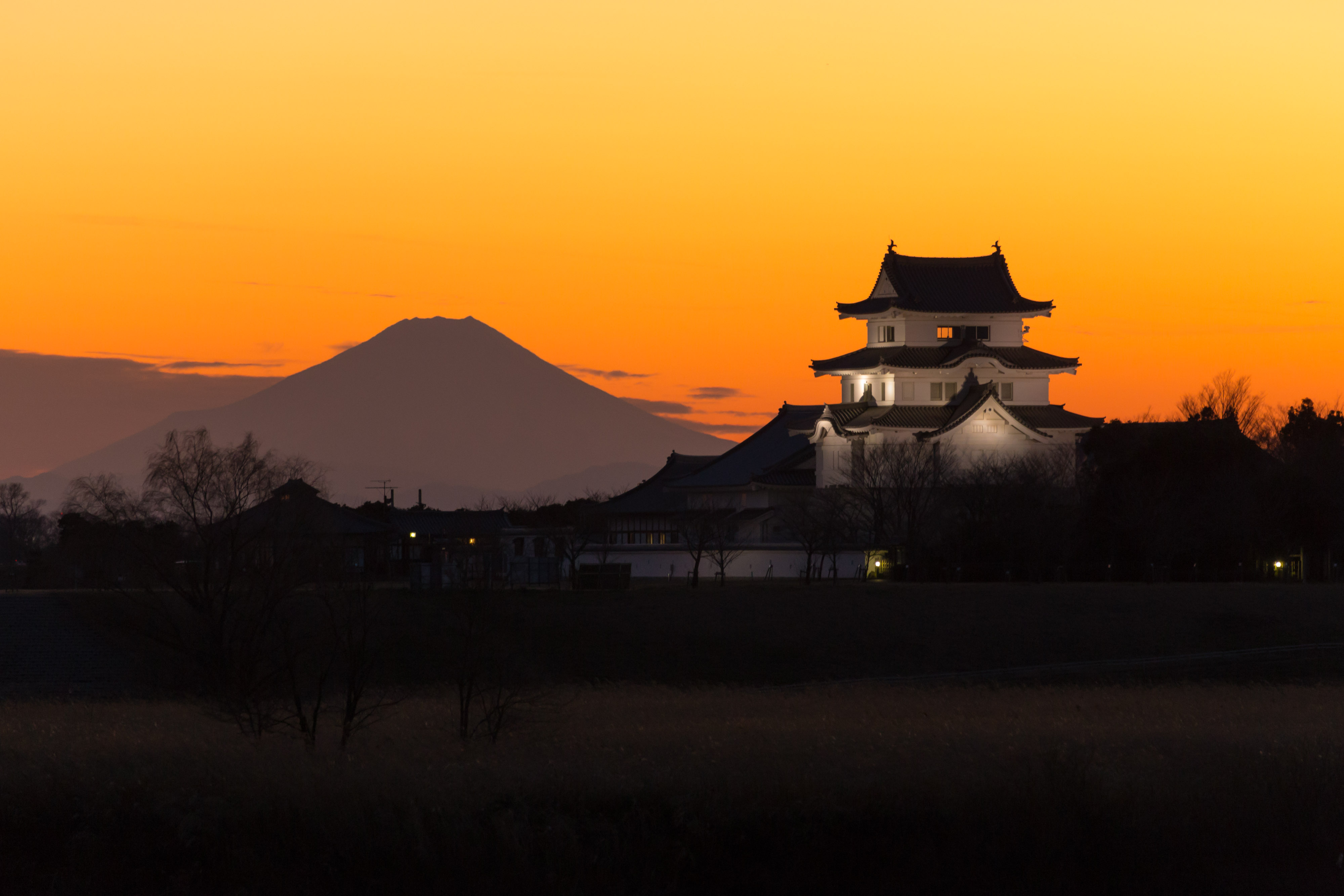
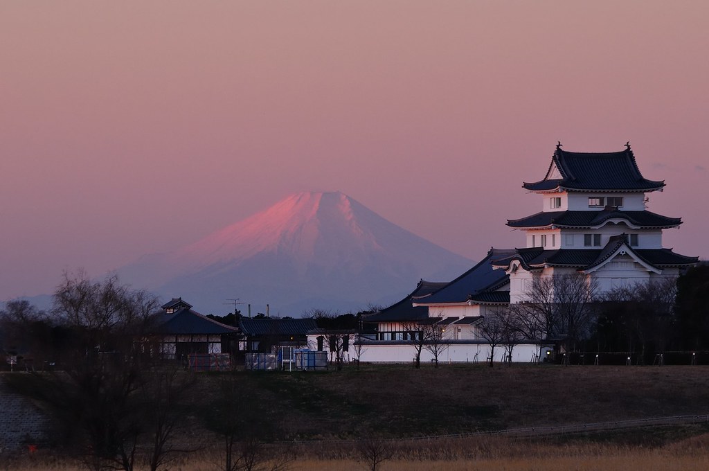
mt.fuji and sekiyado castle
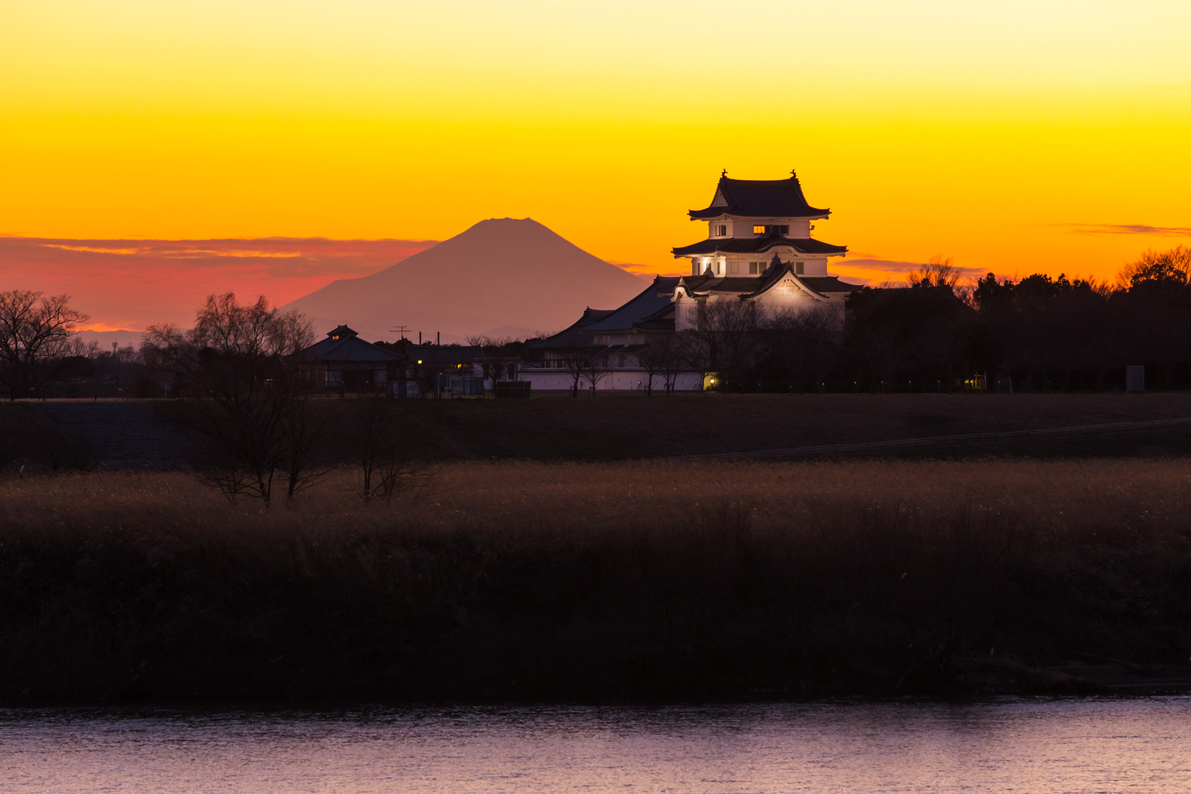
sekiyado castle at dusk

Short-eared Owl
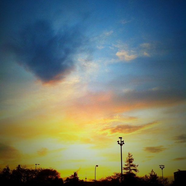
Today's sunset

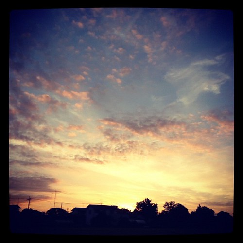
新しい朝
DSC06501.jpg

日没

DSC06726.jpg

栃木大平山ツーリング
#sunset

Sakitama Burial Mounds
サンライズ
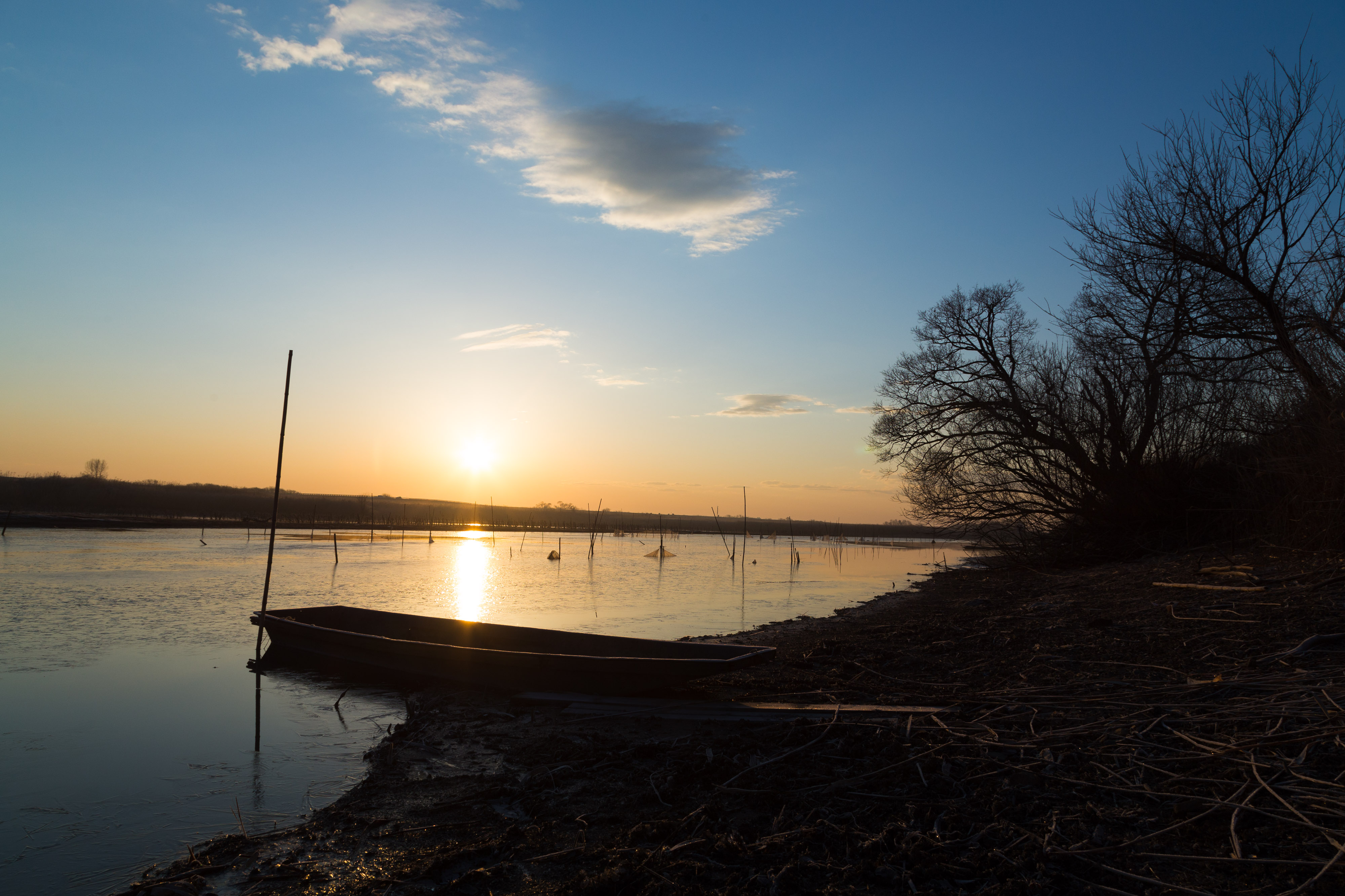
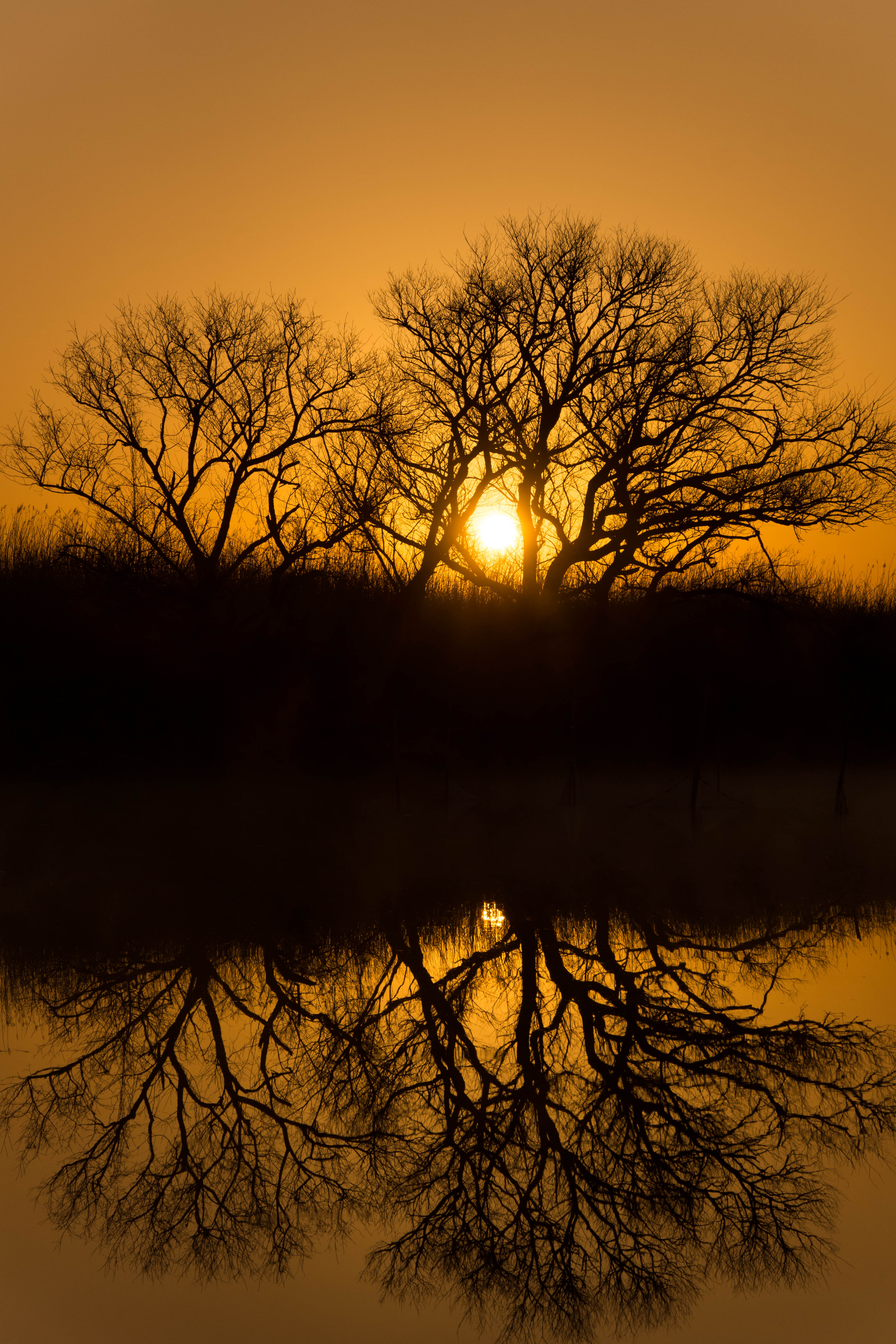
morning at watarase

Autumn leaves and tumulus
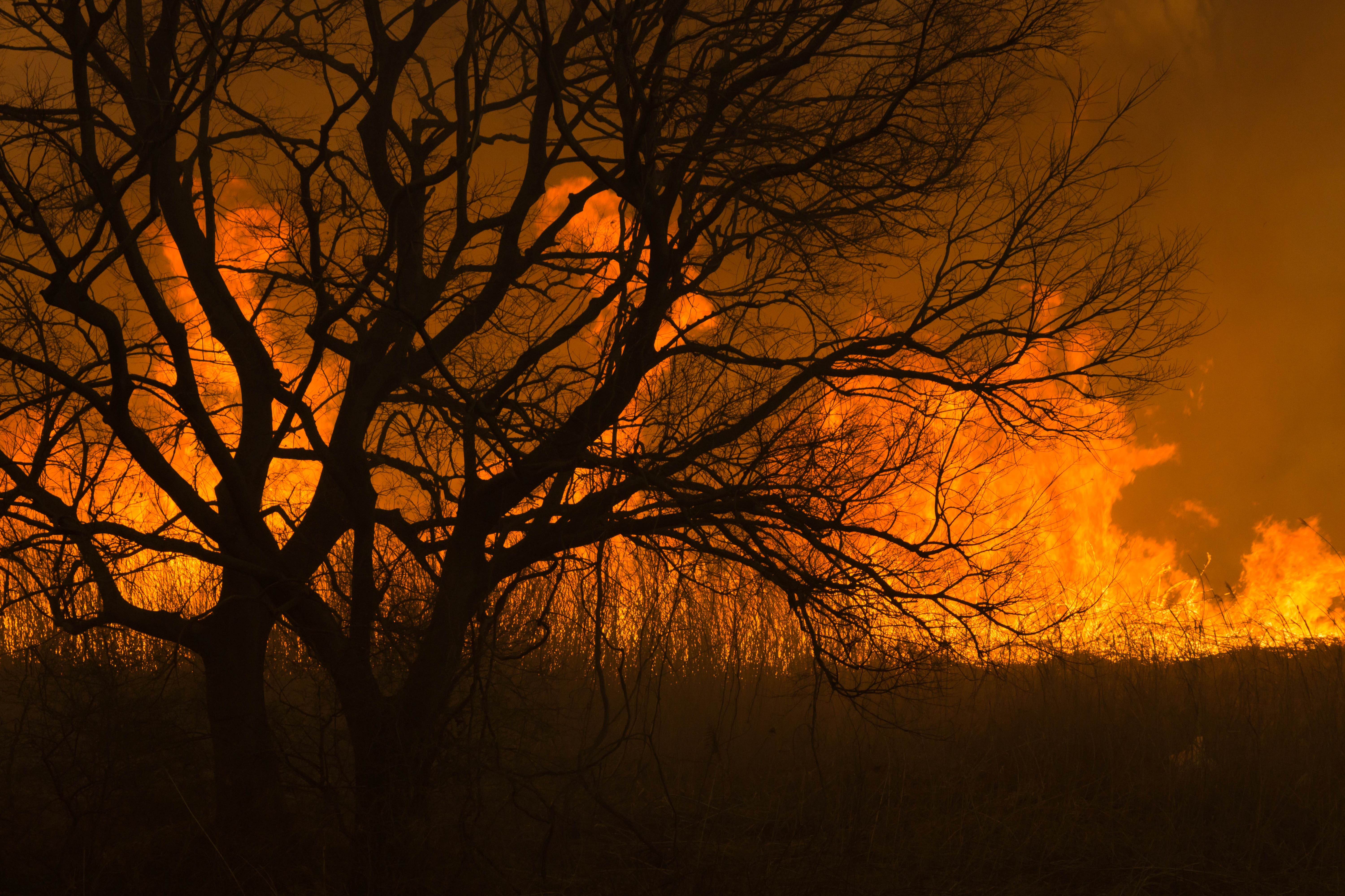
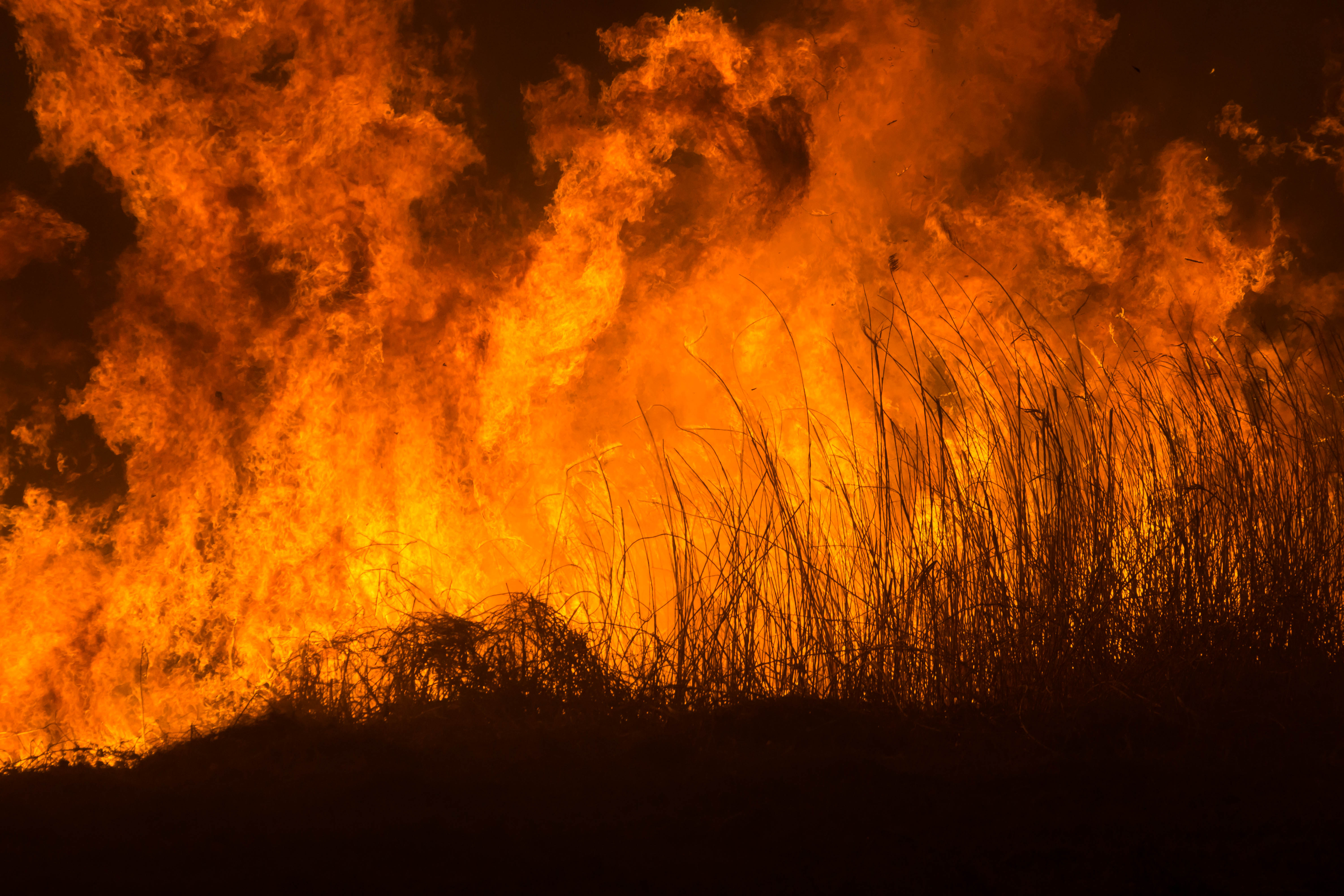
Reed burning in the Watarase anti-flood pond

日の出と鉄塔 #steeltower
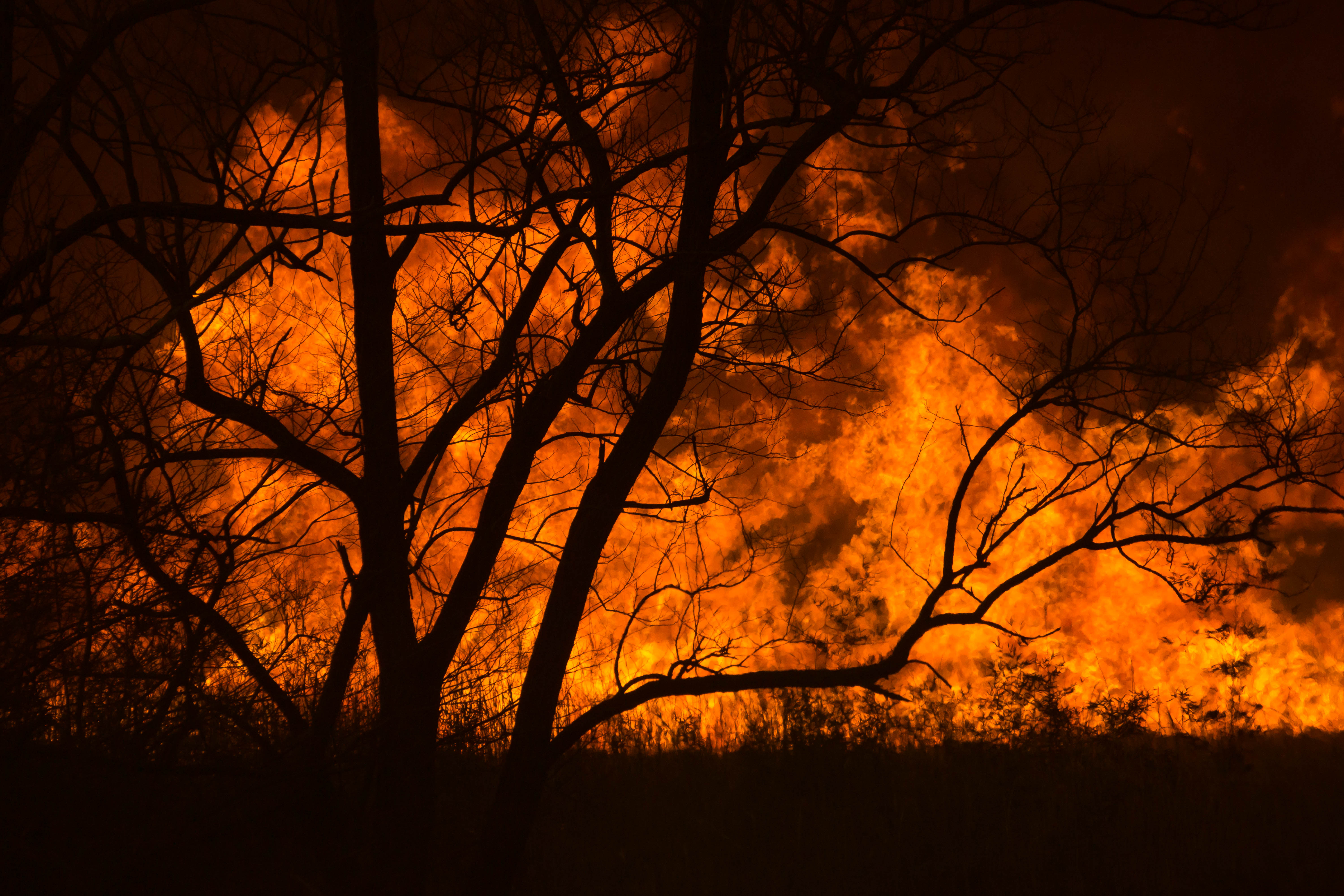
Reed burning in the Watarase anti-flood pond
Reed burning in the Watarase anti-flood pond

Reed burning in the Watarase anti-flood pond
DSC06800.jpg
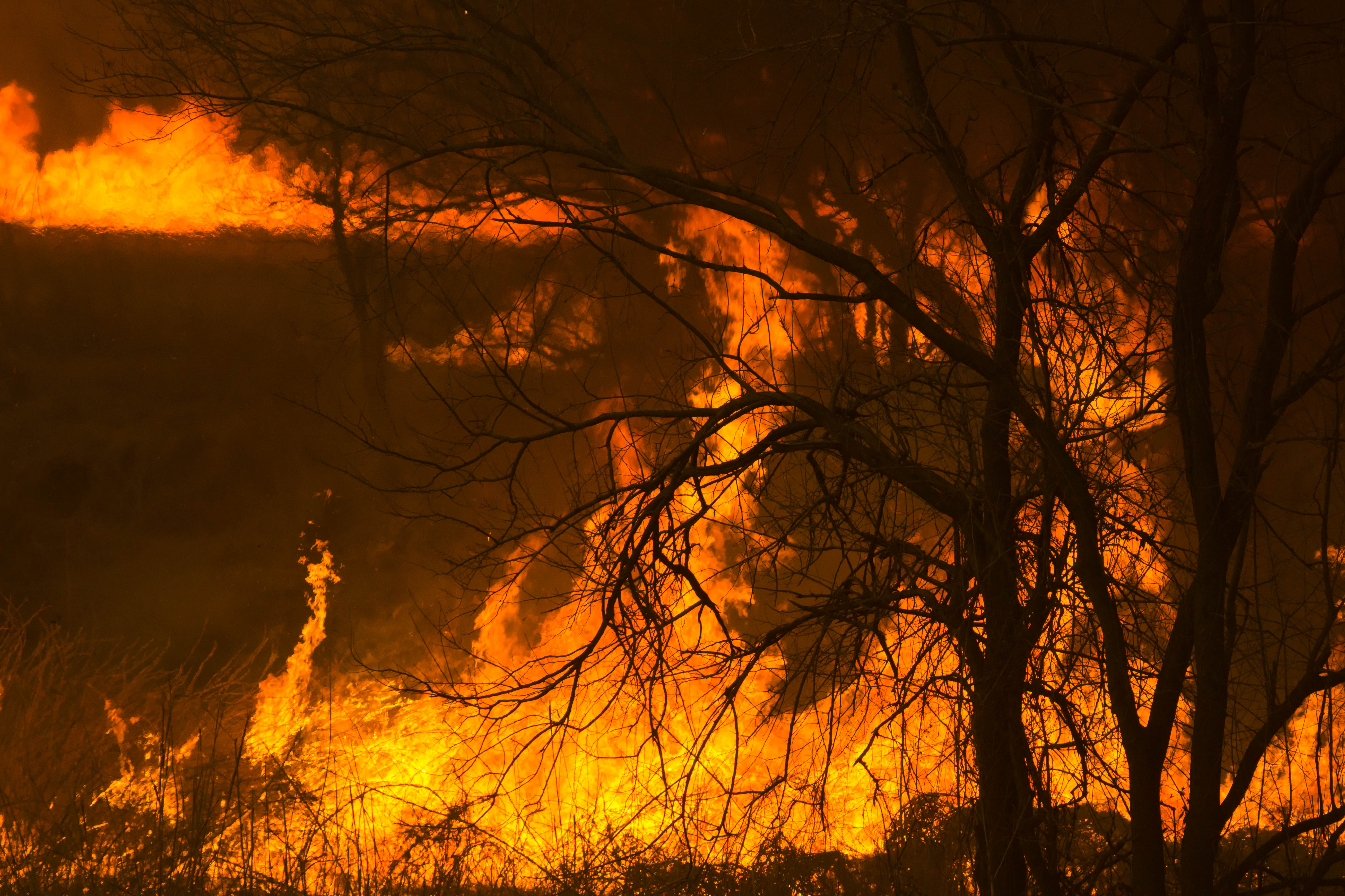
Reed burning in the Watarase anti-flood pond

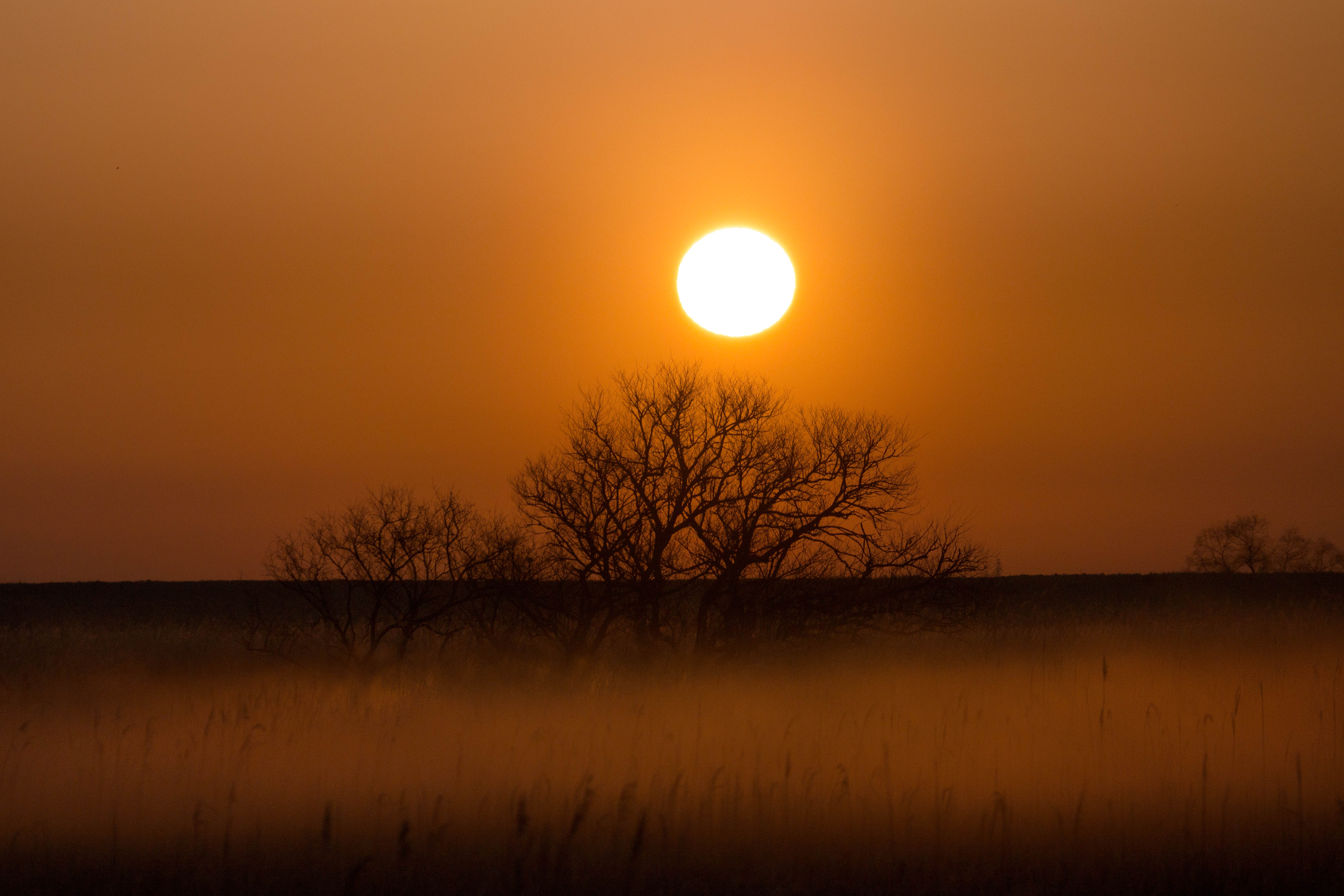
sunrise through reeds
Distant view of Beni Fuji Dec/28/2013 6:53

Fog at sunrise
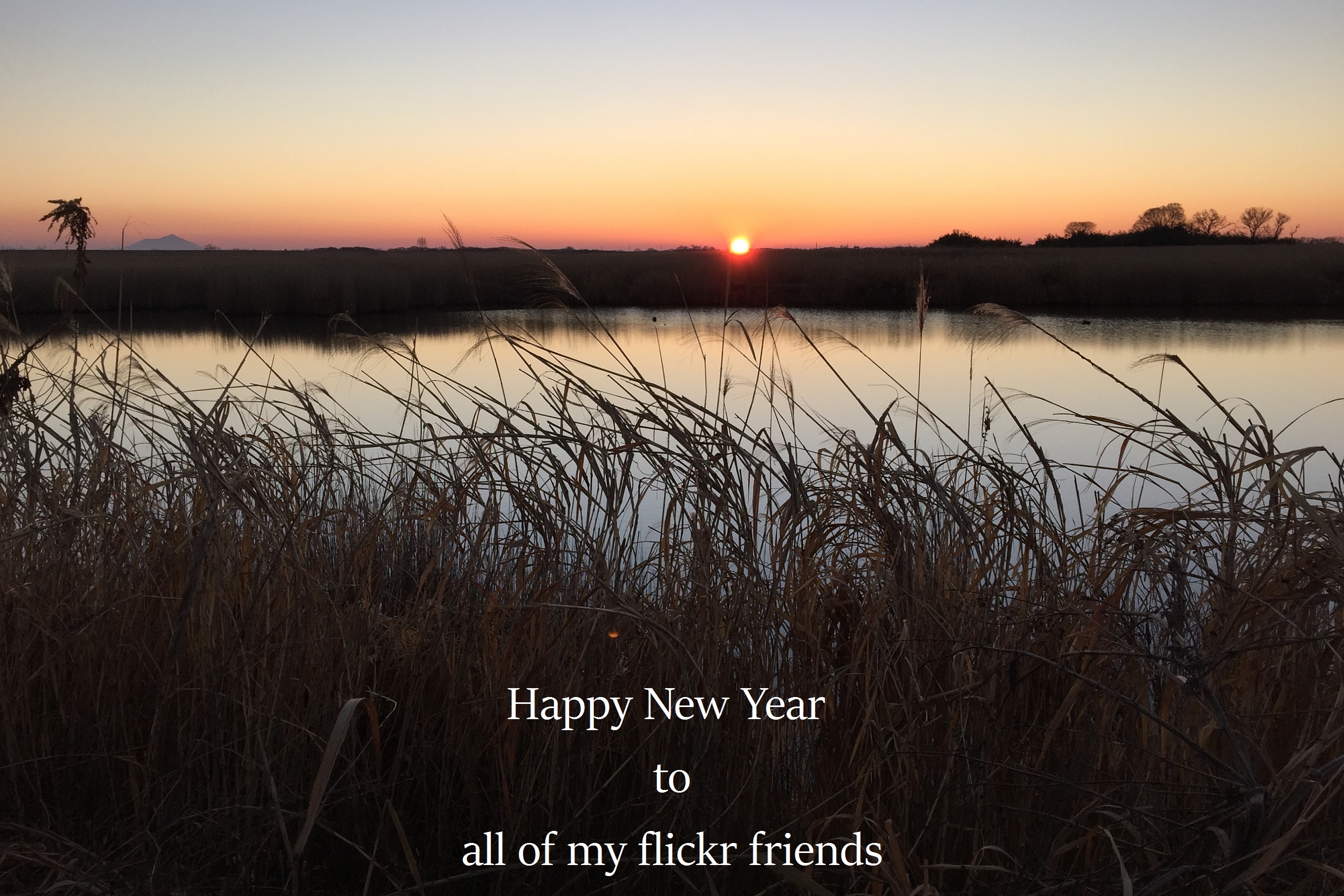
The first sunrise of the year 2016
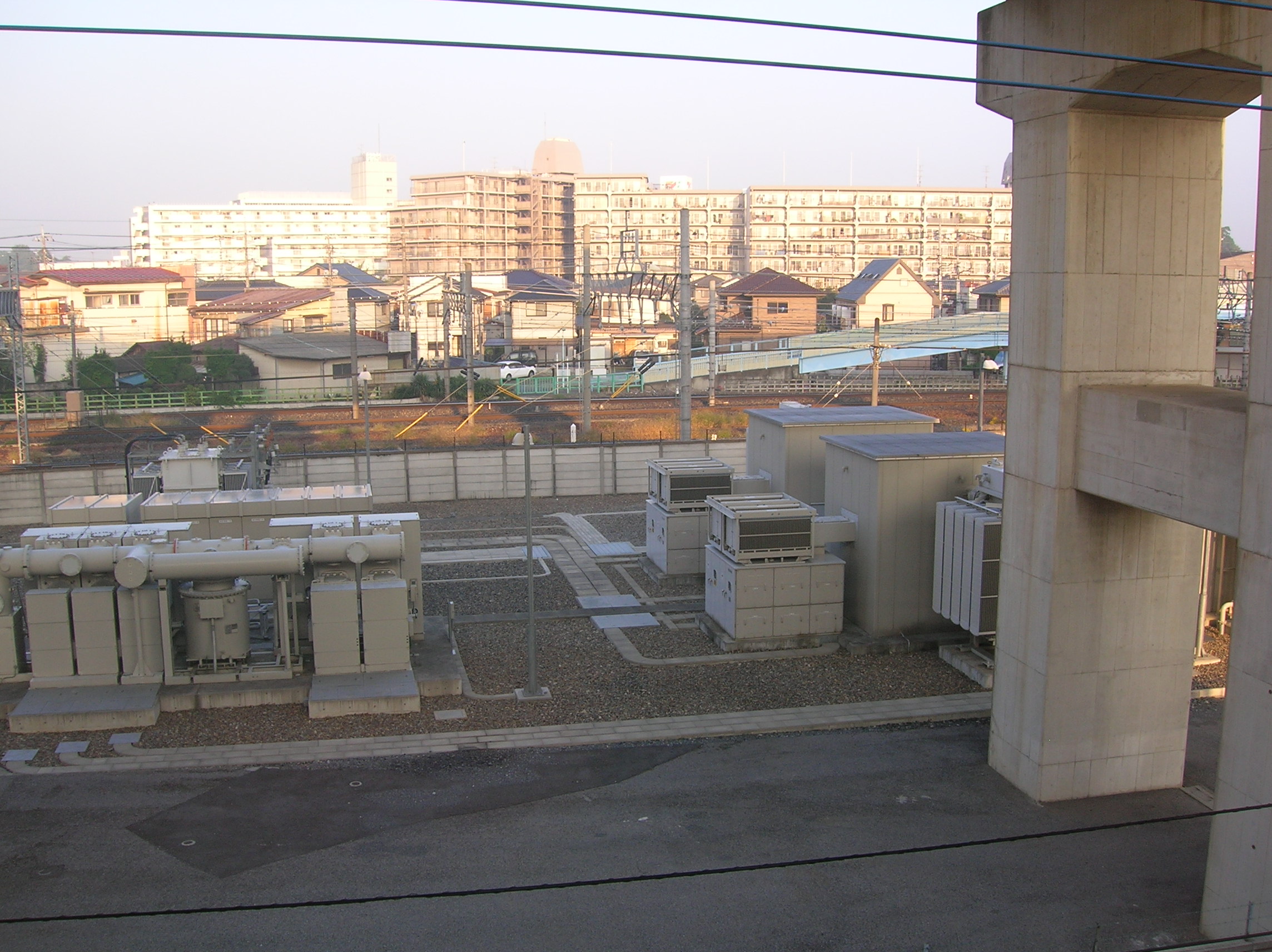
Sunrise on the cement apartment blocks
Tamonji, Kazo-shi, Saitama-ken -日本的地圖
搜索其他地方的日出日落時間
附近地點
-1 Minamishinozaki, Kazo-shi, Saitama-ken -日本
1 Chome-1-2 Ōkuwa, Kazo-shi, Saitama-ken -日本
日本埼玉縣加須市
69 Hinote Shinden, Hanyū-shi, Saitama-ken -日本
Mitakaya, Hanyu, Saitama -日本
Shimotekobayashi, Hanyū-shi, Saitama-ken -日本
Kitaogishima, Hanyū-shi, Saitama-ken -日本
Negoya, Kazo-shi, Saitama-ken -日本
-7 Negoya, Kazo-shi, Saitama-ken -日本
-4 Tsunegi, Hanyū-shi, Saitama-ken -日本
Hatai, Kazo, Saitama -日本
Shimokiyoku, Kuki-shi, Saitama-ken -日本
Imaizumi, Hanyū-shi, Saitama-ken -日本
Shimomurakimi, Hanyū-shi, Saitama-ken -日本
-11 Yagyū, Kazo-shi, Saitama-ken -日本
-日本
Shōbuchō Shōbu, Kuki-shi, Saitama-ken -日本
1 Chome Midori, Kuki, Saitama -日本
Shobucho Sanga, Kuki, Saitama -日本
-7 Hatai, Kazo-shi, Saitama-ken -日本
最近搜索
- 阿根廷布宜諾斯艾利斯聖特爾莫區的日出日落時間表
- Congressional Dr, Stevensville, MD, USA的日出日落時間表
- Papingo 04希臘的日出日落時間表
- Kranto 7-oji g. 8"N, Kaunas, 立陶宛Pagonija rock的日出日落時間表
- Co Rd 87, Jamestown, CO, USA的日出日落時間表
- 哥倫比亞昆迪納馬卡省滕霍的日出日落時間表
- -1 Gosho, Ichihara, Chiba -, Japan的日出日落時間表
- -日本的日出日落時間表
- Co Rd A, Truth or Consequences, NM 美國美國太空港的日出日落時間表
- 美國羅德島州沃威克的日出日落時間表