Soda Peak, Washington, 美國的日出日落時間表
Location: 美國 > 華盛頓 > 奧卡諾根縣 >
時區:
America/Los_Angeles
當地時間:
2024-04-28 12:28:45
經度:
-120.7195587
緯度:
48.9134698
今天日出時間:
05:43:36 AM
今天日落時間:
08:16:36 PM
今天日照時長:
14h 33m 0s
明天日出時間:
05:41:53 AM
明天日落時間:
08:18:04 PM
明天日照時長:
14h 36m 11s
顯示所有日期
| 日期 | 日出 | 日落 | 日照時長 |
|---|---|---|---|
| 2024年01月01日 | 07:56:21 AM | 04:17:09 PM | 8h 20m 48s |
| 2024年01月02日 | 07:56:15 AM | 04:18:10 PM | 8h 21m 55s |
| 2024年01月03日 | 07:56:06 AM | 04:19:14 PM | 8h 23m 8s |
| 2024年01月04日 | 07:55:54 AM | 04:20:20 PM | 8h 24m 26s |
| 2024年01月05日 | 07:55:39 AM | 04:21:29 PM | 8h 25m 50s |
| 2024年01月06日 | 07:55:21 AM | 04:22:39 PM | 8h 27m 18s |
| 2024年01月07日 | 07:55:00 AM | 04:23:51 PM | 8h 28m 51s |
| 2024年01月08日 | 07:54:36 AM | 04:25:05 PM | 8h 30m 29s |
| 2024年01月09日 | 07:54:10 AM | 04:26:21 PM | 8h 32m 11s |
| 2024年01月10日 | 07:53:40 AM | 04:27:39 PM | 8h 33m 59s |
| 2024年01月11日 | 07:53:07 AM | 04:28:59 PM | 8h 35m 52s |
| 2024年01月12日 | 07:52:32 AM | 04:30:20 PM | 8h 37m 48s |
| 2024年01月13日 | 07:51:54 AM | 04:31:42 PM | 8h 39m 48s |
| 2024年01月14日 | 07:51:13 AM | 04:33:06 PM | 8h 41m 53s |
| 2024年01月15日 | 07:50:29 AM | 04:34:32 PM | 8h 44m 3s |
| 2024年01月16日 | 07:49:43 AM | 04:35:58 PM | 8h 46m 15s |
| 2024年01月17日 | 07:48:54 AM | 04:37:26 PM | 8h 48m 32s |
| 2024年01月18日 | 07:48:03 AM | 04:38:55 PM | 8h 50m 52s |
| 2024年01月19日 | 07:47:09 AM | 04:40:25 PM | 8h 53m 16s |
| 2024年01月20日 | 07:46:12 AM | 04:41:57 PM | 8h 55m 45s |
| 2024年01月21日 | 07:45:13 AM | 04:43:29 PM | 8h 58m 16s |
| 2024年01月22日 | 07:44:12 AM | 04:45:02 PM | 9h 0m 50s |
| 2024年01月23日 | 07:43:08 AM | 04:46:36 PM | 9h 3m 28s |
| 2024年01月24日 | 07:42:02 AM | 04:48:10 PM | 9h 6m 8s |
| 2024年01月25日 | 07:40:53 AM | 04:49:45 PM | 9h 8m 52s |
| 2024年01月26日 | 07:39:43 AM | 04:51:21 PM | 9h 11m 38s |
| 2024年01月27日 | 07:38:30 AM | 04:52:58 PM | 9h 14m 28s |
| 2024年01月28日 | 07:37:15 AM | 04:54:35 PM | 9h 17m 20s |
| 2024年01月29日 | 07:35:58 AM | 04:56:12 PM | 9h 20m 14s |
| 2024年01月30日 | 07:34:39 AM | 04:57:50 PM | 9h 23m 11s |
| 2024年01月31日 | 07:33:18 AM | 04:59:28 PM | 9h 26m 10s |
| 2024年02月01日 | 07:31:55 AM | 05:01:06 PM | 9h 29m 11s |
| 2024年02月02日 | 07:30:30 AM | 05:02:45 PM | 9h 32m 15s |
| 2024年02月03日 | 07:29:03 AM | 05:04:24 PM | 9h 35m 21s |
| 2024年02月04日 | 07:27:35 AM | 05:06:03 PM | 9h 38m 28s |
| 2024年02月05日 | 07:26:05 AM | 05:07:42 PM | 9h 41m 37s |
| 2024年02月06日 | 07:24:33 AM | 05:09:22 PM | 9h 44m 49s |
| 2024年02月07日 | 07:22:59 AM | 05:11:01 PM | 9h 48m 2s |
| 2024年02月08日 | 07:21:24 AM | 05:12:41 PM | 9h 51m 17s |
| 2024年02月09日 | 07:19:47 AM | 05:14:20 PM | 9h 54m 33s |
| 2024年02月10日 | 07:18:09 AM | 05:15:59 PM | 9h 57m 50s |
| 2024年02月11日 | 07:16:29 AM | 05:17:39 PM | 10h 1m 10s |
| 2024年02月12日 | 07:14:48 AM | 05:19:18 PM | 10h 4m 30s |
| 2024年02月13日 | 07:13:06 AM | 05:20:57 PM | 10h 7m 51s |
| 2024年02月14日 | 07:11:22 AM | 05:22:36 PM | 10h 11m 14s |
| 2024年02月15日 | 07:09:37 AM | 05:24:15 PM | 10h 14m 38s |
| 2024年02月16日 | 07:07:50 AM | 05:25:53 PM | 10h 18m 3s |
| 2024年02月17日 | 07:06:03 AM | 05:27:32 PM | 10h 21m 29s |
| 2024年02月18日 | 07:04:14 AM | 05:29:10 PM | 10h 24m 56s |
| 2024年02月19日 | 07:02:24 AM | 05:30:48 PM | 10h 28m 24s |
| 2024年02月20日 | 07:00:33 AM | 05:32:26 PM | 10h 31m 53s |
| 2024年02月21日 | 06:58:41 AM | 05:34:03 PM | 10h 35m 22s |
| 2024年02月22日 | 06:56:48 AM | 05:35:40 PM | 10h 38m 52s |
| 2024年02月23日 | 06:54:54 AM | 05:37:17 PM | 10h 42m 23s |
| 2024年02月24日 | 06:52:59 AM | 05:38:54 PM | 10h 45m 55s |
| 2024年02月25日 | 06:51:03 AM | 05:40:31 PM | 10h 49m 28s |
| 2024年02月26日 | 06:49:07 AM | 05:42:07 PM | 10h 53m 0s |
| 2024年02月27日 | 06:47:09 AM | 05:43:43 PM | 10h 56m 34s |
| 2024年02月28日 | 06:45:11 AM | 05:45:18 PM | 11h 0m 7s |
| 2024年02月29日 | 06:43:12 AM | 05:46:54 PM | 11h 3m 42s |
| 2024年03月01日 | 06:41:13 AM | 05:48:29 PM | 11h 7m 16s |
| 2024年03月02日 | 06:39:12 AM | 05:50:04 PM | 11h 10m 52s |
| 2024年03月03日 | 06:37:11 AM | 05:51:38 PM | 11h 14m 27s |
| 2024年03月04日 | 06:35:10 AM | 05:53:12 PM | 11h 18m 2s |
| 2024年03月05日 | 06:33:08 AM | 05:54:46 PM | 11h 21m 38s |
| 2024年03月06日 | 06:31:05 AM | 05:56:20 PM | 11h 25m 15s |
| 2024年03月07日 | 06:29:02 AM | 05:57:54 PM | 11h 28m 52s |
| 2024年03月08日 | 06:26:58 AM | 05:59:27 PM | 11h 32m 29s |
| 2024年03月09日 | 06:24:54 AM | 06:01:00 PM | 11h 36m 6s |
| 2024年03月10日 | 07:22:55 AM | 07:02:29 PM | 11h 39m 34s |
| 2024年03月11日 | 07:20:50 AM | 07:04:01 PM | 11h 43m 11s |
| 2024年03月12日 | 07:18:45 AM | 07:05:34 PM | 11h 46m 49s |
| 2024年03月13日 | 07:16:40 AM | 07:07:06 PM | 11h 50m 26s |
| 2024年03月14日 | 07:14:34 AM | 07:08:38 PM | 11h 54m 4s |
| 2024年03月15日 | 07:12:28 AM | 07:10:09 PM | 11h 57m 41s |
| 2024年03月16日 | 07:10:22 AM | 07:11:41 PM | 12h 1m 19s |
| 2024年03月17日 | 07:08:16 AM | 07:13:12 PM | 12h 4m 56s |
| 2024年03月18日 | 07:06:09 AM | 07:14:44 PM | 12h 8m 35s |
| 2024年03月19日 | 07:04:03 AM | 07:16:15 PM | 12h 12m 12s |
| 2024年03月20日 | 07:01:56 AM | 07:17:45 PM | 12h 15m 49s |
| 2024年03月21日 | 06:59:50 AM | 07:19:16 PM | 12h 19m 26s |
| 2024年03月22日 | 06:57:43 AM | 07:20:47 PM | 12h 23m 4s |
| 2024年03月23日 | 06:55:36 AM | 07:22:17 PM | 12h 26m 41s |
| 2024年03月24日 | 06:53:30 AM | 07:23:48 PM | 12h 30m 18s |
| 2024年03月25日 | 06:51:23 AM | 07:25:18 PM | 12h 33m 55s |
| 2024年03月26日 | 06:49:17 AM | 07:26:48 PM | 12h 37m 31s |
| 2024年03月27日 | 06:47:10 AM | 07:28:18 PM | 12h 41m 8s |
| 2024年03月28日 | 06:45:04 AM | 07:29:49 PM | 12h 44m 45s |
| 2024年03月29日 | 06:42:58 AM | 07:31:19 PM | 12h 48m 21s |
| 2024年03月30日 | 06:40:53 AM | 07:32:48 PM | 12h 51m 55s |
| 2024年03月31日 | 06:38:47 AM | 07:34:18 PM | 12h 55m 31s |
| 2024年04月01日 | 06:36:42 AM | 07:35:48 PM | 12h 59m 6s |
| 2024年04月02日 | 06:34:37 AM | 07:37:18 PM | 13h 2m 41s |
| 2024年04月03日 | 06:32:33 AM | 07:38:48 PM | 13h 6m 15s |
| 2024年04月04日 | 06:30:29 AM | 07:40:18 PM | 13h 9m 49s |
| 2024年04月05日 | 06:28:25 AM | 07:41:47 PM | 13h 13m 22s |
| 2024年04月06日 | 06:26:22 AM | 07:43:17 PM | 13h 16m 55s |
| 2024年04月07日 | 06:24:19 AM | 07:44:47 PM | 13h 20m 28s |
| 2024年04月08日 | 06:22:17 AM | 07:46:17 PM | 13h 24m 0s |
| 2024年04月09日 | 06:20:15 AM | 07:47:46 PM | 13h 27m 31s |
| 2024年04月10日 | 06:18:14 AM | 07:49:16 PM | 13h 31m 2s |
| 2024年04月11日 | 06:16:14 AM | 07:50:46 PM | 13h 34m 32s |
| 2024年04月12日 | 06:14:14 AM | 07:52:15 PM | 13h 38m 1s |
| 2024年04月13日 | 06:12:15 AM | 07:53:45 PM | 13h 41m 30s |
| 2024年04月14日 | 06:10:16 AM | 07:55:15 PM | 13h 44m 59s |
| 2024年04月15日 | 06:08:19 AM | 07:56:44 PM | 13h 48m 25s |
| 2024年04月16日 | 06:06:22 AM | 07:58:14 PM | 13h 51m 52s |
| 2024年04月17日 | 06:04:26 AM | 07:59:43 PM | 13h 55m 17s |
| 2024年04月18日 | 06:02:31 AM | 08:01:13 PM | 13h 58m 42s |
| 2024年04月19日 | 06:00:36 AM | 08:02:42 PM | 14h 2m 6s |
| 2024年04月20日 | 05:58:43 AM | 08:04:12 PM | 14h 5m 29s |
| 2024年04月21日 | 05:56:51 AM | 08:05:41 PM | 14h 8m 50s |
| 2024年04月22日 | 05:54:59 AM | 08:07:10 PM | 14h 12m 11s |
| 2024年04月23日 | 05:53:09 AM | 08:08:39 PM | 14h 15m 30s |
| 2024年04月24日 | 05:51:20 AM | 08:10:08 PM | 14h 18m 48s |
| 2024年04月25日 | 05:49:32 AM | 08:11:37 PM | 14h 22m 5s |
| 2024年04月26日 | 05:47:45 AM | 08:13:06 PM | 14h 25m 21s |
| 2024年04月27日 | 05:45:59 AM | 08:14:34 PM | 14h 28m 35s |
| 2024年04月28日 | 05:44:15 AM | 08:16:03 PM | 14h 31m 48s |
| 2024年04月29日 | 05:42:32 AM | 08:17:31 PM | 14h 34m 59s |
| 2024年04月30日 | 05:40:50 AM | 08:18:59 PM | 14h 38m 9s |
| 2024年05月01日 | 05:39:09 AM | 08:20:26 PM | 14h 41m 17s |
| 2024年05月02日 | 05:37:30 AM | 08:21:53 PM | 14h 44m 23s |
| 2024年05月03日 | 05:35:53 AM | 08:23:20 PM | 14h 47m 27s |
| 2024年05月04日 | 05:34:16 AM | 08:24:47 PM | 14h 50m 31s |
| 2024年05月05日 | 05:32:42 AM | 08:26:13 PM | 14h 53m 31s |
| 2024年05月06日 | 05:31:09 AM | 08:27:38 PM | 14h 56m 29s |
| 2024年05月07日 | 05:29:38 AM | 08:29:03 PM | 14h 59m 25s |
| 2024年05月08日 | 05:28:08 AM | 08:30:28 PM | 15h 2m 20s |
| 2024年05月09日 | 05:26:40 AM | 08:31:52 PM | 15h 5m 12s |
| 2024年05月10日 | 05:25:14 AM | 08:33:16 PM | 15h 8m 2s |
| 2024年05月11日 | 05:23:49 AM | 08:34:38 PM | 15h 10m 49s |
| 2024年05月12日 | 05:22:27 AM | 08:36:00 PM | 15h 13m 33s |
| 2024年05月13日 | 05:21:06 AM | 08:37:22 PM | 15h 16m 16s |
| 2024年05月14日 | 05:19:47 AM | 08:38:42 PM | 15h 18m 55s |
| 2024年05月15日 | 05:18:30 AM | 08:40:02 PM | 15h 21m 32s |
| 2024年05月16日 | 05:17:15 AM | 08:41:21 PM | 15h 24m 6s |
| 2024年05月17日 | 05:16:03 AM | 08:42:39 PM | 15h 26m 36s |
| 2024年05月18日 | 05:14:52 AM | 08:43:56 PM | 15h 29m 4s |
| 2024年05月19日 | 05:13:43 AM | 08:45:12 PM | 15h 31m 29s |
| 2024年05月20日 | 05:12:37 AM | 08:46:26 PM | 15h 33m 49s |
| 2024年05月21日 | 05:11:33 AM | 08:47:40 PM | 15h 36m 7s |
| 2024年05月22日 | 05:10:31 AM | 08:48:52 PM | 15h 38m 21s |
| 2024年05月23日 | 05:09:31 AM | 08:50:03 PM | 15h 40m 32s |
| 2024年05月24日 | 05:08:34 AM | 08:51:13 PM | 15h 42m 39s |
| 2024年05月25日 | 05:07:39 AM | 08:52:21 PM | 15h 44m 42s |
| 2024年05月26日 | 05:06:47 AM | 08:53:28 PM | 15h 46m 41s |
| 2024年05月27日 | 05:05:57 AM | 08:54:33 PM | 15h 48m 36s |
| 2024年05月28日 | 05:05:09 AM | 08:55:37 PM | 15h 50m 28s |
| 2024年05月29日 | 05:04:24 AM | 08:56:39 PM | 15h 52m 15s |
| 2024年05月30日 | 05:03:41 AM | 08:57:39 PM | 15h 53m 58s |
| 2024年05月31日 | 05:03:01 AM | 08:58:38 PM | 15h 55m 37s |
| 2024年06月01日 | 05:02:24 AM | 08:59:35 PM | 15h 57m 11s |
| 2024年06月02日 | 05:01:49 AM | 09:00:30 PM | 15h 58m 41s |
| 2024年06月03日 | 05:01:17 AM | 09:01:23 PM | 16h 0m 6s |
| 2024年06月04日 | 05:00:48 AM | 09:02:14 PM | 16h 1m 26s |
| 2024年06月05日 | 05:00:21 AM | 09:03:02 PM | 16h 2m 41s |
| 2024年06月06日 | 04:59:57 AM | 09:03:49 PM | 16h 3m 52s |
| 2024年06月07日 | 04:59:35 AM | 09:04:34 PM | 16h 4m 59s |
| 2024年06月08日 | 04:59:17 AM | 09:05:16 PM | 16h 5m 59s |
| 2024年06月09日 | 04:59:01 AM | 09:05:56 PM | 16h 6m 55s |
| 2024年06月10日 | 04:58:47 AM | 09:06:34 PM | 16h 7m 47s |
| 2024年06月11日 | 04:58:37 AM | 09:07:09 PM | 16h 8m 32s |
| 2024年06月12日 | 04:58:29 AM | 09:07:42 PM | 16h 9m 13s |
| 2024年06月13日 | 04:58:24 AM | 09:08:13 PM | 16h 9m 49s |
| 2024年06月14日 | 04:58:22 AM | 09:08:41 PM | 16h 10m 19s |
| 2024年06月15日 | 04:58:22 AM | 09:09:06 PM | 16h 10m 44s |
| 2024年06月16日 | 04:58:25 AM | 09:09:29 PM | 16h 11m 4s |
| 2024年06月17日 | 04:58:31 AM | 09:09:50 PM | 16h 11m 19s |
| 2024年06月18日 | 04:58:40 AM | 09:10:07 PM | 16h 11m 27s |
| 2024年06月19日 | 04:58:51 AM | 09:10:22 PM | 16h 11m 31s |
| 2024年06月20日 | 04:59:04 AM | 09:10:35 PM | 16h 11m 31s |
| 2024年06月21日 | 04:59:21 AM | 09:10:44 PM | 16h 11m 23s |
| 2024年06月22日 | 04:59:40 AM | 09:10:51 PM | 16h 11m 11s |
| 2024年06月23日 | 05:00:01 AM | 09:10:55 PM | 16h 10m 54s |
| 2024年06月24日 | 05:00:25 AM | 09:10:57 PM | 16h 10m 32s |
| 2024年06月25日 | 05:00:52 AM | 09:10:56 PM | 16h 10m 4s |
| 2024年06月26日 | 05:01:21 AM | 09:10:51 PM | 16h 9m 30s |
| 2024年06月27日 | 05:01:52 AM | 09:10:44 PM | 16h 8m 52s |
| 2024年06月28日 | 05:02:26 AM | 09:10:35 PM | 16h 8m 9s |
| 2024年06月29日 | 05:03:02 AM | 09:10:22 PM | 16h 7m 20s |
| 2024年06月30日 | 05:03:40 AM | 09:10:07 PM | 16h 6m 27s |
| 2024年07月01日 | 05:04:20 AM | 09:09:49 PM | 16h 5m 29s |
| 2024年07月02日 | 05:05:03 AM | 09:09:28 PM | 16h 4m 25s |
| 2024年07月03日 | 05:05:48 AM | 09:09:05 PM | 16h 3m 17s |
| 2024年07月04日 | 05:06:35 AM | 09:08:38 PM | 16h 2m 3s |
| 2024年07月05日 | 05:07:23 AM | 09:08:09 PM | 16h 0m 46s |
| 2024年07月06日 | 05:08:14 AM | 09:07:38 PM | 15h 59m 24s |
| 2024年07月07日 | 05:09:07 AM | 09:07:03 PM | 15h 57m 56s |
| 2024年07月08日 | 05:10:01 AM | 09:06:26 PM | 15h 56m 25s |
| 2024年07月09日 | 05:10:58 AM | 09:05:47 PM | 15h 54m 49s |
| 2024年07月10日 | 05:11:55 AM | 09:05:05 PM | 15h 53m 10s |
| 2024年07月11日 | 05:12:55 AM | 09:04:20 PM | 15h 51m 25s |
| 2024年07月12日 | 05:13:56 AM | 09:03:32 PM | 15h 49m 36s |
| 2024年07月13日 | 05:14:59 AM | 09:02:43 PM | 15h 47m 44s |
| 2024年07月14日 | 05:16:03 AM | 09:01:50 PM | 15h 45m 47s |
| 2024年07月15日 | 05:17:09 AM | 09:00:55 PM | 15h 43m 46s |
| 2024年07月16日 | 05:18:16 AM | 08:59:58 PM | 15h 41m 42s |
| 2024年07月17日 | 05:19:24 AM | 08:58:59 PM | 15h 39m 35s |
| 2024年07月18日 | 05:20:33 AM | 08:57:57 PM | 15h 37m 24s |
| 2024年07月19日 | 05:21:44 AM | 08:56:53 PM | 15h 35m 9s |
| 2024年07月20日 | 05:22:56 AM | 08:55:46 PM | 15h 32m 50s |
| 2024年07月21日 | 05:24:08 AM | 08:54:38 PM | 15h 30m 30s |
| 2024年07月22日 | 05:25:22 AM | 08:53:27 PM | 15h 28m 5s |
| 2024年07月23日 | 05:26:37 AM | 08:52:14 PM | 15h 25m 37s |
| 2024年07月24日 | 05:27:52 AM | 08:50:59 PM | 15h 23m 7s |
| 2024年07月25日 | 05:29:09 AM | 08:49:42 PM | 15h 20m 33s |
| 2024年07月26日 | 05:30:26 AM | 08:48:23 PM | 15h 17m 57s |
| 2024年07月27日 | 05:31:44 AM | 08:47:02 PM | 15h 15m 18s |
| 2024年07月28日 | 05:33:03 AM | 08:45:39 PM | 15h 12m 36s |
| 2024年07月29日 | 05:34:22 AM | 08:44:15 PM | 15h 9m 53s |
| 2024年07月30日 | 05:35:42 AM | 08:42:48 PM | 15h 7m 6s |
| 2024年07月31日 | 05:37:03 AM | 08:41:20 PM | 15h 4m 17s |
| 2024年08月01日 | 05:38:24 AM | 08:39:50 PM | 15h 1m 26s |
| 2024年08月02日 | 05:39:45 AM | 08:38:18 PM | 14h 58m 33s |
| 2024年08月03日 | 05:41:07 AM | 08:36:45 PM | 14h 55m 38s |
| 2024年08月04日 | 05:42:29 AM | 08:35:10 PM | 14h 52m 41s |
| 2024年08月05日 | 05:43:52 AM | 08:33:33 PM | 14h 49m 41s |
| 2024年08月06日 | 05:45:15 AM | 08:31:55 PM | 14h 46m 40s |
| 2024年08月07日 | 05:46:38 AM | 08:30:16 PM | 14h 43m 38s |
| 2024年08月08日 | 05:48:02 AM | 08:28:35 PM | 14h 40m 33s |
| 2024年08月09日 | 05:49:26 AM | 08:26:52 PM | 14h 37m 26s |
| 2024年08月10日 | 05:50:50 AM | 08:25:09 PM | 14h 34m 19s |
| 2024年08月11日 | 05:52:14 AM | 08:23:24 PM | 14h 31m 10s |
| 2024年08月12日 | 05:53:39 AM | 08:21:37 PM | 14h 27m 58s |
| 2024年08月13日 | 05:55:03 AM | 08:19:50 PM | 14h 24m 47s |
| 2024年08月14日 | 05:56:28 AM | 08:18:01 PM | 14h 21m 33s |
| 2024年08月15日 | 05:57:53 AM | 08:16:11 PM | 14h 18m 18s |
| 2024年08月16日 | 05:59:18 AM | 08:14:20 PM | 14h 15m 2s |
| 2024年08月17日 | 06:00:43 AM | 08:12:28 PM | 14h 11m 45s |
| 2024年08月18日 | 06:02:08 AM | 08:10:35 PM | 14h 8m 27s |
| 2024年08月19日 | 06:03:33 AM | 08:08:41 PM | 14h 5m 8s |
| 2024年08月20日 | 06:04:58 AM | 08:06:46 PM | 14h 1m 48s |
| 2024年08月21日 | 06:06:23 AM | 08:04:50 PM | 13h 58m 27s |
| 2024年08月22日 | 06:07:48 AM | 08:02:53 PM | 13h 55m 5s |
| 2024年08月23日 | 06:09:13 AM | 08:00:56 PM | 13h 51m 43s |
| 2024年08月24日 | 06:10:38 AM | 07:58:57 PM | 13h 48m 19s |
| 2024年08月25日 | 06:12:03 AM | 07:56:58 PM | 13h 44m 55s |
| 2024年08月26日 | 06:13:28 AM | 07:54:58 PM | 13h 41m 30s |
| 2024年08月27日 | 06:14:54 AM | 07:52:57 PM | 13h 38m 3s |
| 2024年08月28日 | 06:16:19 AM | 07:50:56 PM | 13h 34m 37s |
| 2024年08月29日 | 06:17:44 AM | 07:48:54 PM | 13h 31m 10s |
| 2024年08月30日 | 06:19:09 AM | 07:46:51 PM | 13h 27m 42s |
| 2024年08月31日 | 06:20:34 AM | 07:44:48 PM | 13h 24m 14s |
| 2024年09月01日 | 06:21:59 AM | 07:42:44 PM | 13h 20m 45s |
| 2024年09月02日 | 06:23:24 AM | 07:40:39 PM | 13h 17m 15s |
| 2024年09月03日 | 06:24:49 AM | 07:38:35 PM | 13h 13m 46s |
| 2024年09月04日 | 06:26:14 AM | 07:36:29 PM | 13h 10m 15s |
| 2024年09月05日 | 06:27:39 AM | 07:34:24 PM | 13h 6m 45s |
| 2024年09月06日 | 06:29:03 AM | 07:32:17 PM | 13h 3m 14s |
| 2024年09月07日 | 06:30:28 AM | 07:30:11 PM | 12h 59m 43s |
| 2024年09月08日 | 06:31:53 AM | 07:28:04 PM | 12h 56m 11s |
| 2024年09月09日 | 06:33:18 AM | 07:25:57 PM | 12h 52m 39s |
| 2024年09月10日 | 06:34:43 AM | 07:23:50 PM | 12h 49m 7s |
| 2024年09月11日 | 06:36:08 AM | 07:21:42 PM | 12h 45m 34s |
| 2024年09月12日 | 06:37:34 AM | 07:19:35 PM | 12h 42m 1s |
| 2024年09月13日 | 06:38:59 AM | 07:17:27 PM | 12h 38m 28s |
| 2024年09月14日 | 06:40:24 AM | 07:15:19 PM | 12h 34m 55s |
| 2024年09月15日 | 06:41:49 AM | 07:13:10 PM | 12h 31m 21s |
| 2024年09月16日 | 06:43:15 AM | 07:11:02 PM | 12h 27m 47s |
| 2024年09月17日 | 06:44:40 AM | 07:08:54 PM | 12h 24m 14s |
| 2024年09月18日 | 06:46:06 AM | 07:06:45 PM | 12h 20m 39s |
| 2024年09月19日 | 06:47:31 AM | 07:04:37 PM | 12h 17m 6s |
| 2024年09月20日 | 06:48:57 AM | 07:02:29 PM | 12h 13m 32s |
| 2024年09月21日 | 06:50:23 AM | 07:00:20 PM | 12h 9m 57s |
| 2024年09月22日 | 06:51:49 AM | 06:58:12 PM | 12h 6m 23s |
| 2024年09月23日 | 06:53:16 AM | 06:56:04 PM | 12h 2m 48s |
| 2024年09月24日 | 06:54:42 AM | 06:53:56 PM | 11h 59m 14s |
| 2024年09月25日 | 06:56:09 AM | 06:51:49 PM | 11h 55m 40s |
| 2024年09月26日 | 06:57:35 AM | 06:49:41 PM | 11h 52m 6s |
| 2024年09月27日 | 06:59:02 AM | 06:47:34 PM | 11h 48m 32s |
| 2024年09月28日 | 07:00:30 AM | 06:45:27 PM | 11h 44m 57s |
| 2024年09月29日 | 07:01:57 AM | 06:43:21 PM | 11h 41m 24s |
| 2024年09月30日 | 07:03:25 AM | 06:41:14 PM | 11h 37m 49s |
| 2024年10月01日 | 07:04:53 AM | 06:39:08 PM | 11h 34m 15s |
| 2024年10月02日 | 07:06:21 AM | 06:37:03 PM | 11h 30m 42s |
| 2024年10月03日 | 07:07:49 AM | 06:34:58 PM | 11h 27m 9s |
| 2024年10月04日 | 07:09:18 AM | 06:32:53 PM | 11h 23m 35s |
| 2024年10月05日 | 07:10:47 AM | 06:30:49 PM | 11h 20m 2s |
| 2024年10月06日 | 07:12:16 AM | 06:28:46 PM | 11h 16m 30s |
| 2024年10月07日 | 07:13:46 AM | 06:26:43 PM | 11h 12m 57s |
| 2024年10月08日 | 07:15:15 AM | 06:24:40 PM | 11h 9m 25s |
| 2024年10月09日 | 07:16:45 AM | 06:22:38 PM | 11h 5m 53s |
| 2024年10月10日 | 07:18:16 AM | 06:20:37 PM | 11h 2m 21s |
| 2024年10月11日 | 07:19:47 AM | 06:18:37 PM | 10h 58m 50s |
| 2024年10月12日 | 07:21:18 AM | 06:16:37 PM | 10h 55m 19s |
| 2024年10月13日 | 07:22:49 AM | 06:14:38 PM | 10h 51m 49s |
| 2024年10月14日 | 07:24:20 AM | 06:12:40 PM | 10h 48m 20s |
| 2024年10月15日 | 07:25:52 AM | 06:10:43 PM | 10h 44m 51s |
| 2024年10月16日 | 07:27:24 AM | 06:08:47 PM | 10h 41m 23s |
| 2024年10月17日 | 07:28:57 AM | 06:06:52 PM | 10h 37m 55s |
| 2024年10月18日 | 07:30:30 AM | 06:04:57 PM | 10h 34m 27s |
| 2024年10月19日 | 07:32:03 AM | 06:03:04 PM | 10h 31m 1s |
| 2024年10月20日 | 07:33:36 AM | 06:01:11 PM | 10h 27m 35s |
| 2024年10月21日 | 07:35:10 AM | 05:59:20 PM | 10h 24m 10s |
| 2024年10月22日 | 07:36:44 AM | 05:57:30 PM | 10h 20m 46s |
| 2024年10月23日 | 07:38:18 AM | 05:55:41 PM | 10h 17m 23s |
| 2024年10月24日 | 07:39:52 AM | 05:53:53 PM | 10h 14m 1s |
| 2024年10月25日 | 07:41:27 AM | 05:52:06 PM | 10h 10m 39s |
| 2024年10月26日 | 07:43:01 AM | 05:50:21 PM | 10h 7m 20s |
| 2024年10月27日 | 07:44:36 AM | 05:48:37 PM | 10h 4m 1s |
| 2024年10月28日 | 07:46:11 AM | 05:46:54 PM | 10h 0m 43s |
| 2024年10月29日 | 07:47:47 AM | 05:45:13 PM | 9h 57m 26s |
| 2024年10月30日 | 07:49:22 AM | 05:43:33 PM | 9h 54m 11s |
| 2024年10月31日 | 07:50:57 AM | 05:41:55 PM | 9h 50m 58s |
| 2024年11月01日 | 07:52:33 AM | 05:40:19 PM | 9h 47m 46s |
| 2024年11月02日 | 07:54:08 AM | 05:38:43 PM | 9h 44m 35s |
| 2024年11月03日 | 06:55:48 AM | 04:37:06 PM | 9h 41m 18s |
| 2024年11月04日 | 06:57:23 AM | 04:35:34 PM | 9h 38m 11s |
| 2024年11月05日 | 06:58:59 AM | 04:34:05 PM | 9h 35m 6s |
| 2024年11月06日 | 07:00:34 AM | 04:32:36 PM | 9h 32m 2s |
| 2024年11月07日 | 07:02:09 AM | 04:31:10 PM | 9h 29m 1s |
| 2024年11月08日 | 07:03:44 AM | 04:29:46 PM | 9h 26m 2s |
| 2024年11月09日 | 07:05:19 AM | 04:28:23 PM | 9h 23m 4s |
| 2024年11月10日 | 07:06:54 AM | 04:27:02 PM | 9h 20m 8s |
| 2024年11月11日 | 07:08:28 AM | 04:25:44 PM | 9h 17m 16s |
| 2024年11月12日 | 07:10:02 AM | 04:24:28 PM | 9h 14m 26s |
| 2024年11月13日 | 07:11:35 AM | 04:23:13 PM | 9h 11m 38s |
| 2024年11月14日 | 07:13:08 AM | 04:22:01 PM | 9h 8m 53s |
| 2024年11月15日 | 07:14:40 AM | 04:20:51 PM | 9h 6m 11s |
| 2024年11月16日 | 07:16:12 AM | 04:19:44 PM | 9h 3m 32s |
| 2024年11月17日 | 07:17:43 AM | 04:18:38 PM | 9h 0m 55s |
| 2024年11月18日 | 07:19:13 AM | 04:17:35 PM | 8h 58m 22s |
| 2024年11月19日 | 07:20:43 AM | 04:16:35 PM | 8h 55m 52s |
| 2024年11月20日 | 07:22:11 AM | 04:15:37 PM | 8h 53m 26s |
| 2024年11月21日 | 07:23:39 AM | 04:14:41 PM | 8h 51m 2s |
| 2024年11月22日 | 07:25:06 AM | 04:13:48 PM | 8h 48m 42s |
| 2024年11月23日 | 07:26:32 AM | 04:12:58 PM | 8h 46m 26s |
| 2024年11月24日 | 07:27:56 AM | 04:12:10 PM | 8h 44m 14s |
| 2024年11月25日 | 07:29:20 AM | 04:11:25 PM | 8h 42m 5s |
| 2024年11月26日 | 07:30:42 AM | 04:10:42 PM | 8h 40m 0s |
| 2024年11月27日 | 07:32:02 AM | 04:10:03 PM | 8h 38m 1s |
| 2024年11月28日 | 07:33:22 AM | 04:09:26 PM | 8h 36m 4s |
| 2024年11月29日 | 07:34:40 AM | 04:08:52 PM | 8h 34m 12s |
| 2024年11月30日 | 07:35:56 AM | 04:08:21 PM | 8h 32m 25s |
| 2024年12月01日 | 07:37:11 AM | 04:07:53 PM | 8h 30m 42s |
| 2024年12月02日 | 07:38:23 AM | 04:07:27 PM | 8h 29m 4s |
| 2024年12月03日 | 07:39:35 AM | 04:07:05 PM | 8h 27m 30s |
| 2024年12月04日 | 07:40:44 AM | 04:06:46 PM | 8h 26m 2s |
| 2024年12月05日 | 07:41:51 AM | 04:06:29 PM | 8h 24m 38s |
| 2024年12月06日 | 07:42:56 AM | 04:06:16 PM | 8h 23m 20s |
| 2024年12月07日 | 07:44:00 AM | 04:06:06 PM | 8h 22m 6s |
| 2024年12月08日 | 07:45:01 AM | 04:05:58 PM | 8h 20m 57s |
| 2024年12月09日 | 07:45:59 AM | 04:05:54 PM | 8h 19m 55s |
| 2024年12月10日 | 07:46:56 AM | 04:05:53 PM | 8h 18m 57s |
| 2024年12月11日 | 07:47:50 AM | 04:05:55 PM | 8h 18m 5s |
| 2024年12月12日 | 07:48:42 AM | 04:06:00 PM | 8h 17m 18s |
| 2024年12月13日 | 07:49:31 AM | 04:06:08 PM | 8h 16m 37s |
| 2024年12月14日 | 07:50:18 AM | 04:06:19 PM | 8h 16m 1s |
| 2024年12月15日 | 07:51:02 AM | 04:06:34 PM | 8h 15m 32s |
| 2024年12月16日 | 07:51:43 AM | 04:06:51 PM | 8h 15m 8s |
| 2024年12月17日 | 07:52:22 AM | 04:07:11 PM | 8h 14m 49s |
| 2024年12月18日 | 07:52:58 AM | 04:07:35 PM | 8h 14m 37s |
| 2024年12月19日 | 07:53:31 AM | 04:08:01 PM | 8h 14m 30s |
| 2024年12月20日 | 07:54:02 AM | 04:08:30 PM | 8h 14m 28s |
| 2024年12月21日 | 07:54:29 AM | 04:09:02 PM | 8h 14m 33s |
| 2024年12月22日 | 07:54:54 AM | 04:09:37 PM | 8h 14m 43s |
| 2024年12月23日 | 07:55:16 AM | 04:10:15 PM | 8h 14m 59s |
| 2024年12月24日 | 07:55:35 AM | 04:10:56 PM | 8h 15m 21s |
| 2024年12月25日 | 07:55:50 AM | 04:11:39 PM | 8h 15m 49s |
| 2024年12月26日 | 07:56:03 AM | 04:12:25 PM | 8h 16m 22s |
| 2024年12月27日 | 07:56:13 AM | 04:13:14 PM | 8h 17m 1s |
| 2024年12月28日 | 07:56:20 AM | 04:14:05 PM | 8h 17m 45s |
| 2024年12月29日 | 07:56:24 AM | 04:14:59 PM | 8h 18m 35s |
| 2024年12月30日 | 07:56:24 AM | 04:15:55 PM | 8h 19m 31s |
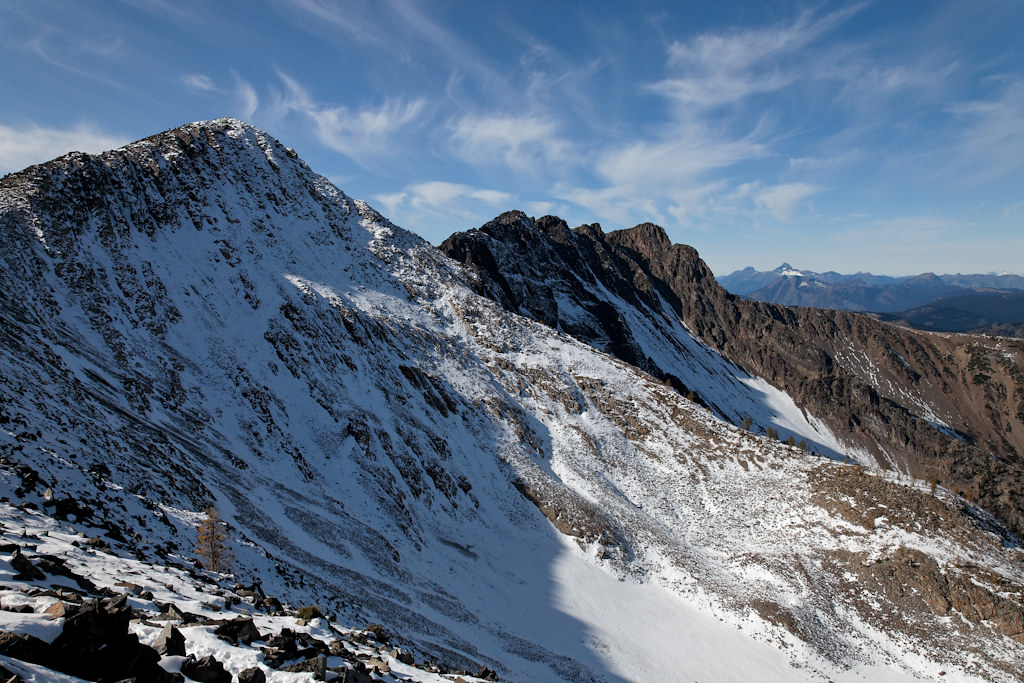
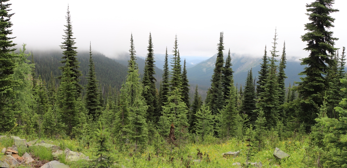
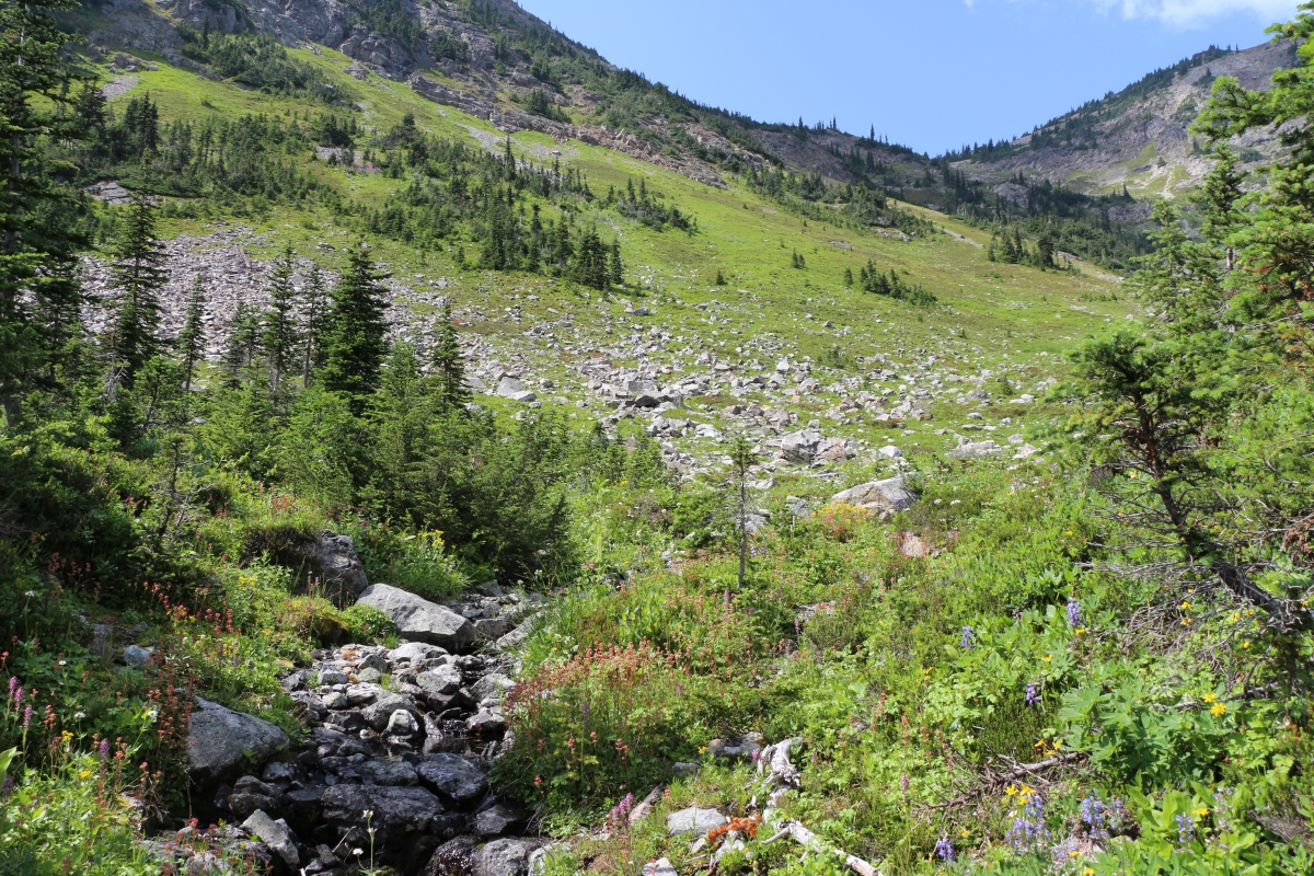
日出日落照片

Sunset from Windy Joe

Sunset from Windy Joe

More Sunset

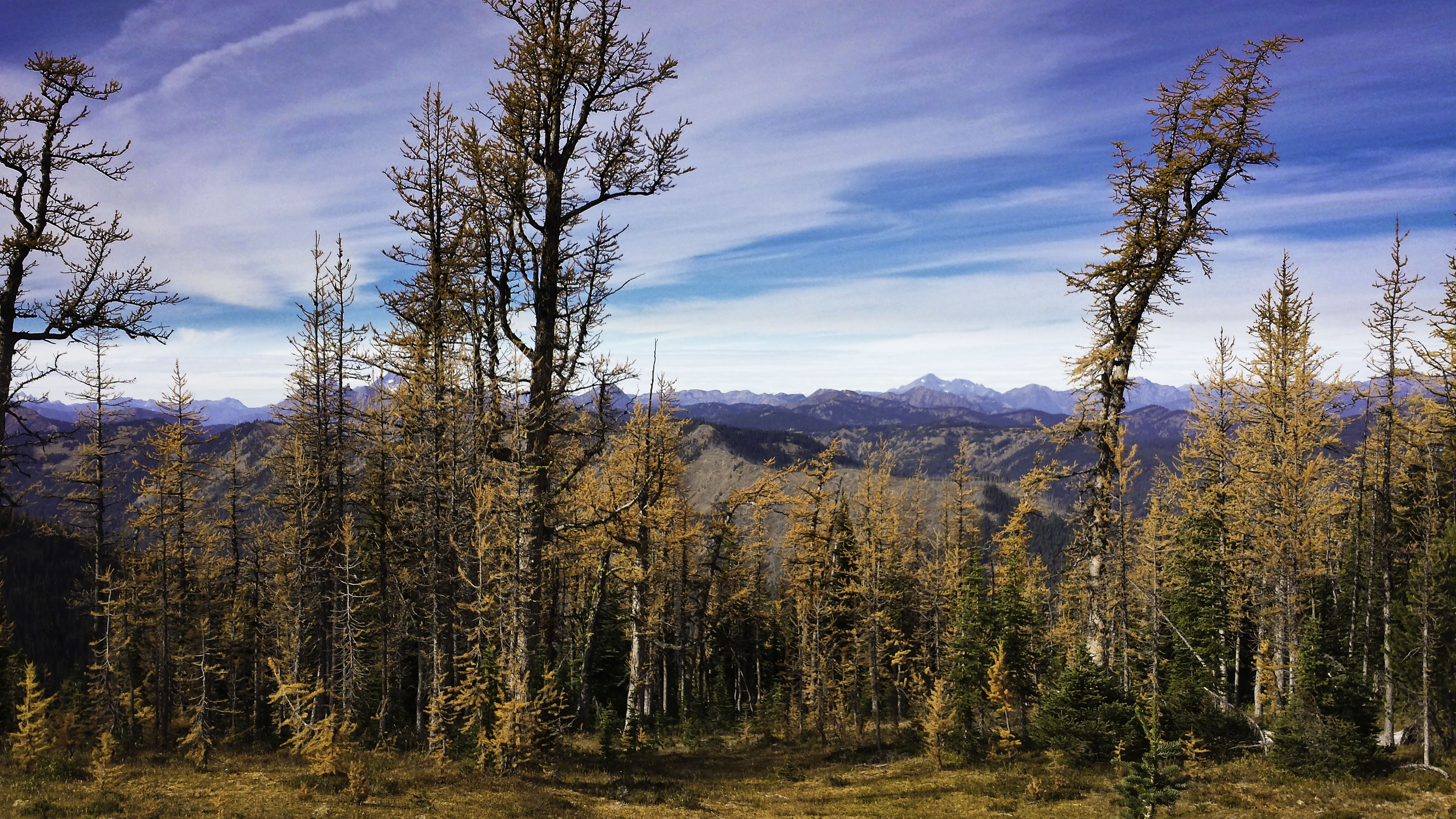
Sunset with the Larches
Golden scenery

From the top

3783 Zoomed-in view of Slate Peak (far left) from the Devils Dome Trail northeast of Devils Pass
3773 View of the north face of Peak 7270 from the Devils Dome Trail northeast of Devils Pass
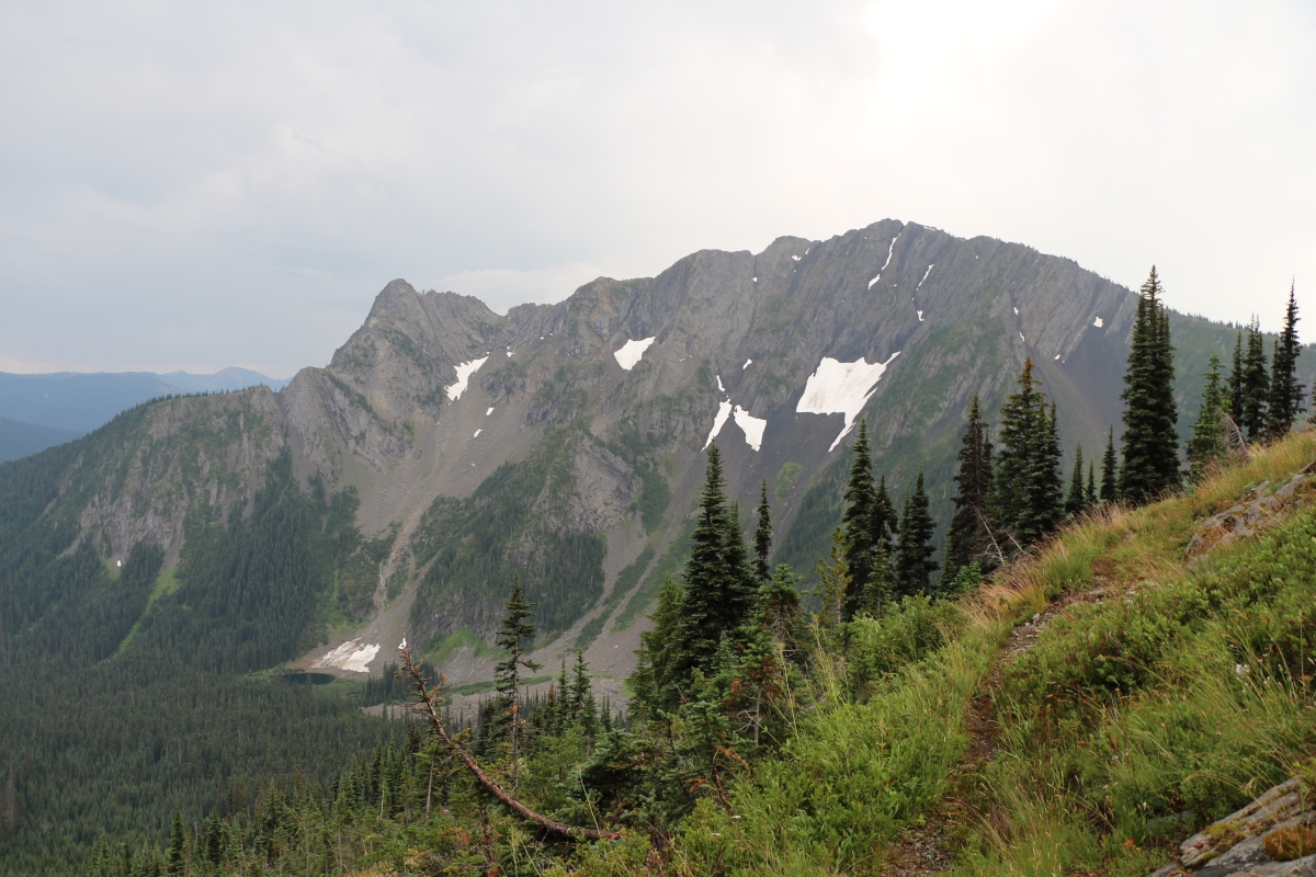
3852 Zoomed-in view of the northeast face of Crater Mountain from the Jackita Ridge Trail near Devils Pass
2894 View north into the West Fork Pasayten River Valley from the PCT south of Foggy Pass
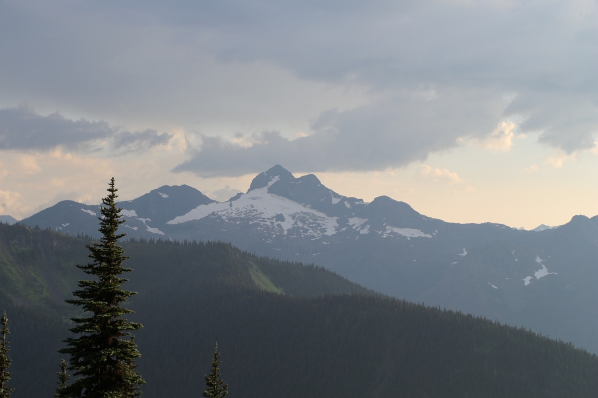
Mt Frosty Ridgeline
2891 View into the West Fork Pasayten River Valley from the PCT south of Foggy Pass
3754 View from a nice campsite below Peak 7514 on the Devils Dome Trail northeast of Devils Pass

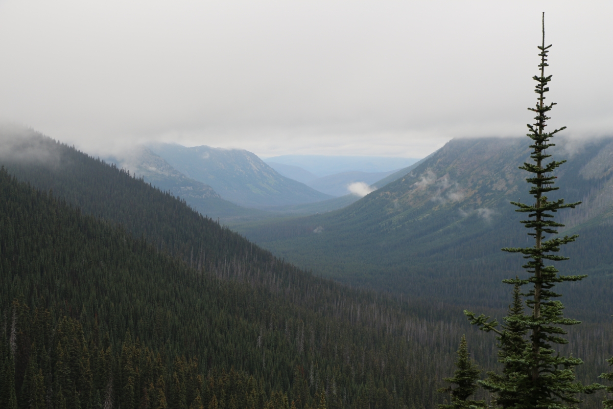
2824 No views except mist from the ridge above the WACS2636 Campsite on the PCT at Windy Pass
Soda Peak, Washington, 美國的地圖
搜索其他地方的日出日落時間
附近地點
Smoky Mountain, Washington, 美國
Blizzard Peak, Washington, 美國
Three Fools Peak, Washington, 美國
Holman Peak, Washington, 美國
Powder Mountain, Washington, 美國
Mt Winthrop, Washington, 美國Mount Winthrop
Holdover Ridge, Washington, 美國
Shull Mountain, Washington, 美國
Pacific Crest Trail, Manning Park, WA, 美國Pacific Crest Trail - Northern Terminus
Point Defiance, Washington, 美國
Chuwanten Mountain, Okanagan-Similkameen H, BC V0X加拿大
Castle Peak, Washington, 美國
Mt Rolo, Washington 美國Mount Rolo
Joker Mountain, Washington, 美國
Manning Park, BC V0X 1R0加拿大Cascade Lookout
Manning Park, BC V0X加拿大
BC-3, Manning Park, BC V0X 1R0加拿大Manning Park Resort
Osceola Peak, Washington, 美國
Freezeout Mountain, Washington, 美國
Wildcat Mountain, Washington 美國
最近搜索
- 台灣宜蘭縣大同鄉加羅湖的日出日落時間表
- 日本〒- 愛媛縣今治市 Sekizenoge大下港的日出日落時間表
- -1 Sekizenōge, Imabari, Ehime -日本Oge port Ferry Terminal的日出日落時間表
- 阿根廷布宜諾斯艾利斯聖特爾莫區的日出日落時間表
- Congressional Dr, Stevensville, MD 美國的日出日落時間表
- Papingo 04希臘的日出日落時間表
- Kranto 7-oji g. 8"N, Kaunas, 立陶宛Pagonija rock的日出日落時間表
- Co Rd 87, Jamestown, CO 美國的日出日落時間表
- 哥倫比亞昆迪納馬卡省滕霍的日出日落時間表
- -1 Gosho, Ichihara, Chiba -, Japan的日出日落時間表