NE Sand Hill Rd, Belfair, WA 美國的日出日落時間表
Location: 美國 > 華盛頓 > 梅森縣 > WA 美國 >
時區:
America/Los_Angeles
當地時間:
2024-04-30 23:44:23
經度:
-122.8643853
緯度:
47.4837552
今天日出時間:
05:52:42 AM
今天日落時間:
08:24:11 PM
今天日照時長:
14h 31m 29s
明天日出時間:
05:51:07 AM
明天日落時間:
08:25:33 PM
明天日照時長:
14h 34m 26s
顯示所有日期
| 日期 | 日出 | 日落 | 日照時長 |
|---|---|---|---|
| 2024年01月01日 | 07:59:01 AM | 04:31:39 PM | 8h 32m 38s |
| 2024年01月02日 | 07:58:57 AM | 04:32:39 PM | 8h 33m 42s |
| 2024年01月03日 | 07:58:50 AM | 04:33:40 PM | 8h 34m 50s |
| 2024年01月04日 | 07:58:41 AM | 04:34:44 PM | 8h 36m 3s |
| 2024年01月05日 | 07:58:28 AM | 04:35:50 PM | 8h 37m 22s |
| 2024年01月06日 | 07:58:13 AM | 04:36:57 PM | 8h 38m 44s |
| 2024年01月07日 | 07:57:55 AM | 04:38:07 PM | 8h 40m 12s |
| 2024年01月08日 | 07:57:34 AM | 04:39:18 PM | 8h 41m 44s |
| 2024年01月09日 | 07:57:10 AM | 04:40:31 PM | 8h 43m 21s |
| 2024年01月10日 | 07:56:43 AM | 04:41:45 PM | 8h 45m 2s |
| 2024年01月11日 | 07:56:14 AM | 04:43:02 PM | 8h 46m 48s |
| 2024年01月12日 | 07:55:42 AM | 04:44:19 PM | 8h 48m 37s |
| 2024年01月13日 | 07:55:08 AM | 04:45:38 PM | 8h 50m 30s |
| 2024年01月14日 | 07:54:31 AM | 04:46:58 PM | 8h 52m 27s |
| 2024年01月15日 | 07:53:51 AM | 04:48:20 PM | 8h 54m 29s |
| 2024年01月16日 | 07:53:08 AM | 04:49:43 PM | 8h 56m 35s |
| 2024年01月17日 | 07:52:23 AM | 04:51:07 PM | 8h 58m 44s |
| 2024年01月18日 | 07:51:36 AM | 04:52:32 PM | 9h 0m 56s |
| 2024年01月19日 | 07:50:46 AM | 04:53:58 PM | 9h 3m 12s |
| 2024年01月20日 | 07:49:54 AM | 04:55:25 PM | 9h 5m 31s |
| 2024年01月21日 | 07:48:59 AM | 04:56:52 PM | 9h 7m 53s |
| 2024年01月22日 | 07:48:02 AM | 04:58:21 PM | 9h 10m 19s |
| 2024年01月23日 | 07:47:03 AM | 04:59:50 PM | 9h 12m 47s |
| 2024年01月24日 | 07:46:01 AM | 05:01:20 PM | 9h 15m 19s |
| 2024年01月25日 | 07:44:57 AM | 05:02:51 PM | 9h 17m 54s |
| 2024年01月26日 | 07:43:51 AM | 05:04:22 PM | 9h 20m 31s |
| 2024年01月27日 | 07:42:43 AM | 05:05:54 PM | 9h 23m 11s |
| 2024年01月28日 | 07:41:33 AM | 05:07:26 PM | 9h 25m 53s |
| 2024年01月29日 | 07:40:21 AM | 05:08:59 PM | 9h 28m 38s |
| 2024年01月30日 | 07:39:07 AM | 05:10:32 PM | 9h 31m 25s |
| 2024年01月31日 | 07:37:51 AM | 05:12:05 PM | 9h 34m 14s |
| 2024年02月01日 | 07:36:33 AM | 05:13:38 PM | 9h 37m 5s |
| 2024年02月02日 | 07:35:13 AM | 05:15:12 PM | 9h 39m 59s |
| 2024年02月03日 | 07:33:51 AM | 05:16:46 PM | 9h 42m 55s |
| 2024年02月04日 | 07:32:28 AM | 05:18:20 PM | 9h 45m 52s |
| 2024年02月05日 | 07:31:02 AM | 05:19:54 PM | 9h 48m 52s |
| 2024年02月06日 | 07:29:36 AM | 05:21:28 PM | 9h 51m 52s |
| 2024年02月07日 | 07:28:07 AM | 05:23:03 PM | 9h 54m 56s |
| 2024年02月08日 | 07:26:37 AM | 05:24:37 PM | 9h 58m 0s |
| 2024年02月09日 | 07:25:05 AM | 05:26:11 PM | 10h 1m 6s |
| 2024年02月10日 | 07:23:32 AM | 05:27:45 PM | 10h 4m 13s |
| 2024年02月11日 | 07:21:58 AM | 05:29:19 PM | 10h 7m 21s |
| 2024年02月12日 | 07:20:22 AM | 05:30:53 PM | 10h 10m 31s |
| 2024年02月13日 | 07:18:45 AM | 05:32:27 PM | 10h 13m 42s |
| 2024年02月14日 | 07:17:06 AM | 05:34:01 PM | 10h 16m 55s |
| 2024年02月15日 | 07:15:26 AM | 05:35:34 PM | 10h 20m 8s |
| 2024年02月16日 | 07:13:45 AM | 05:37:08 PM | 10h 23m 23s |
| 2024年02月17日 | 07:12:03 AM | 05:38:41 PM | 10h 26m 38s |
| 2024年02月18日 | 07:10:19 AM | 05:40:14 PM | 10h 29m 55s |
| 2024年02月19日 | 07:08:35 AM | 05:41:46 PM | 10h 33m 11s |
| 2024年02月20日 | 07:06:49 AM | 05:43:19 PM | 10h 36m 30s |
| 2024年02月21日 | 07:05:03 AM | 05:44:51 PM | 10h 39m 48s |
| 2024年02月22日 | 07:03:15 AM | 05:46:23 PM | 10h 43m 8s |
| 2024年02月23日 | 07:01:26 AM | 05:47:55 PM | 10h 46m 29s |
| 2024年02月24日 | 06:59:37 AM | 05:49:26 PM | 10h 49m 49s |
| 2024年02月25日 | 06:57:46 AM | 05:50:57 PM | 10h 53m 11s |
| 2024年02月26日 | 06:55:55 AM | 05:52:28 PM | 10h 56m 33s |
| 2024年02月27日 | 06:54:03 AM | 05:53:59 PM | 10h 59m 56s |
| 2024年02月28日 | 06:52:10 AM | 05:55:29 PM | 11h 3m 19s |
| 2024年02月29日 | 06:50:16 AM | 05:56:59 PM | 11h 6m 43s |
| 2024年03月01日 | 06:48:22 AM | 05:58:29 PM | 11h 10m 7s |
| 2024年03月02日 | 06:46:27 AM | 05:59:58 PM | 11h 13m 31s |
| 2024年03月03日 | 06:44:31 AM | 06:01:27 PM | 11h 16m 56s |
| 2024年03月04日 | 06:42:35 AM | 06:02:56 PM | 11h 20m 21s |
| 2024年03月05日 | 06:40:38 AM | 06:04:25 PM | 11h 23m 47s |
| 2024年03月06日 | 06:38:41 AM | 06:05:53 PM | 11h 27m 12s |
| 2024年03月07日 | 06:36:43 AM | 06:07:22 PM | 11h 30m 39s |
| 2024年03月08日 | 06:34:45 AM | 06:08:49 PM | 11h 34m 4s |
| 2024年03月09日 | 06:32:46 AM | 06:10:17 PM | 11h 37m 31s |
| 2024年03月10日 | 07:30:52 AM | 07:11:41 PM | 11h 40m 49s |
| 2024年03月11日 | 07:28:53 AM | 07:13:08 PM | 11h 44m 15s |
| 2024年03月12日 | 07:26:53 AM | 07:14:35 PM | 11h 47m 42s |
| 2024年03月13日 | 07:24:53 AM | 07:16:02 PM | 11h 51m 9s |
| 2024年03月14日 | 07:22:53 AM | 07:17:28 PM | 11h 54m 35s |
| 2024年03月15日 | 07:20:52 AM | 07:18:55 PM | 11h 58m 3s |
| 2024年03月16日 | 07:18:51 AM | 07:20:21 PM | 12h 1m 30s |
| 2024年03月17日 | 07:16:51 AM | 07:21:47 PM | 12h 4m 56s |
| 2024年03月18日 | 07:14:49 AM | 07:23:13 PM | 12h 8m 24s |
| 2024年03月19日 | 07:12:48 AM | 07:24:39 PM | 12h 11m 51s |
| 2024年03月20日 | 07:10:47 AM | 07:26:04 PM | 12h 15m 17s |
| 2024年03月21日 | 07:08:46 AM | 07:27:30 PM | 12h 18m 44s |
| 2024年03月22日 | 07:06:44 AM | 07:28:55 PM | 12h 22m 11s |
| 2024年03月23日 | 07:04:43 AM | 07:30:20 PM | 12h 25m 37s |
| 2024年03月24日 | 07:02:42 AM | 07:31:45 PM | 12h 29m 3s |
| 2024年03月25日 | 07:00:40 AM | 07:33:10 PM | 12h 32m 30s |
| 2024年03月26日 | 06:58:39 AM | 07:34:35 PM | 12h 35m 56s |
| 2024年03月27日 | 06:56:38 AM | 07:36:00 PM | 12h 39m 22s |
| 2024年03月28日 | 06:54:38 AM | 07:37:25 PM | 12h 42m 47s |
| 2024年03月29日 | 06:52:37 AM | 07:38:49 PM | 12h 46m 12s |
| 2024年03月30日 | 06:50:37 AM | 07:40:14 PM | 12h 49m 37s |
| 2024年03月31日 | 06:48:36 AM | 07:41:38 PM | 12h 53m 2s |
| 2024年04月01日 | 06:46:37 AM | 07:43:03 PM | 12h 56m 26s |
| 2024年04月02日 | 06:44:37 AM | 07:44:27 PM | 12h 59m 50s |
| 2024年04月03日 | 06:42:38 AM | 07:45:52 PM | 13h 3m 14s |
| 2024年04月04日 | 06:40:39 AM | 07:47:16 PM | 13h 6m 37s |
| 2024年04月05日 | 06:38:41 AM | 07:48:41 PM | 13h 10m 0s |
| 2024年04月06日 | 06:36:43 AM | 07:50:05 PM | 13h 13m 22s |
| 2024年04月07日 | 06:34:46 AM | 07:51:30 PM | 13h 16m 44s |
| 2024年04月08日 | 06:32:49 AM | 07:52:54 PM | 13h 20m 5s |
| 2024年04月09日 | 06:30:53 AM | 07:54:18 PM | 13h 23m 25s |
| 2024年04月10日 | 06:28:57 AM | 07:55:43 PM | 13h 26m 46s |
| 2024年04月11日 | 06:27:02 AM | 07:57:07 PM | 13h 30m 5s |
| 2024年04月12日 | 06:25:07 AM | 07:58:31 PM | 13h 33m 24s |
| 2024年04月13日 | 06:23:13 AM | 07:59:56 PM | 13h 36m 43s |
| 2024年04月14日 | 06:21:20 AM | 08:01:20 PM | 13h 40m 0s |
| 2024年04月15日 | 06:19:28 AM | 08:02:44 PM | 13h 43m 16s |
| 2024年04月16日 | 06:17:36 AM | 08:04:09 PM | 13h 46m 33s |
| 2024年04月17日 | 06:15:46 AM | 08:05:33 PM | 13h 49m 47s |
| 2024年04月18日 | 06:13:56 AM | 08:06:57 PM | 13h 53m 1s |
| 2024年04月19日 | 06:12:07 AM | 08:08:21 PM | 13h 56m 14s |
| 2024年04月20日 | 06:10:19 AM | 08:09:45 PM | 13h 59m 26s |
| 2024年04月21日 | 06:08:32 AM | 08:11:09 PM | 14h 2m 37s |
| 2024年04月22日 | 06:06:46 AM | 08:12:33 PM | 14h 5m 47s |
| 2024年04月23日 | 06:05:01 AM | 08:13:57 PM | 14h 8m 56s |
| 2024年04月24日 | 06:03:17 AM | 08:15:21 PM | 14h 12m 4s |
| 2024年04月25日 | 06:01:34 AM | 08:16:44 PM | 14h 15m 10s |
| 2024年04月26日 | 05:59:52 AM | 08:18:08 PM | 14h 18m 16s |
| 2024年04月27日 | 05:58:12 AM | 08:19:31 PM | 14h 21m 19s |
| 2024年04月28日 | 05:56:33 AM | 08:20:54 PM | 14h 24m 21s |
| 2024年04月29日 | 05:54:55 AM | 08:22:17 PM | 14h 27m 22s |
| 2024年04月30日 | 05:53:18 AM | 08:23:40 PM | 14h 30m 22s |
| 2024年05月01日 | 05:51:43 AM | 08:25:02 PM | 14h 33m 19s |
| 2024年05月02日 | 05:50:09 AM | 08:26:24 PM | 14h 36m 15s |
| 2024年05月03日 | 05:48:36 AM | 08:27:46 PM | 14h 39m 10s |
| 2024年05月04日 | 05:47:05 AM | 08:29:07 PM | 14h 42m 2s |
| 2024年05月05日 | 05:45:36 AM | 08:30:28 PM | 14h 44m 52s |
| 2024年05月06日 | 05:44:08 AM | 08:31:49 PM | 14h 47m 41s |
| 2024年05月07日 | 05:42:41 AM | 08:33:09 PM | 14h 50m 28s |
| 2024年05月08日 | 05:41:16 AM | 08:34:29 PM | 14h 53m 13s |
| 2024年05月09日 | 05:39:53 AM | 08:35:48 PM | 14h 55m 55s |
| 2024年05月10日 | 05:38:32 AM | 08:37:07 PM | 14h 58m 35s |
| 2024年05月11日 | 05:37:12 AM | 08:38:25 PM | 15h 1m 13s |
| 2024年05月12日 | 05:35:54 AM | 08:39:42 PM | 15h 3m 48s |
| 2024年05月13日 | 05:34:38 AM | 08:40:59 PM | 15h 6m 21s |
| 2024年05月14日 | 05:33:24 AM | 08:42:15 PM | 15h 8m 51s |
| 2024年05月15日 | 05:32:12 AM | 08:43:30 PM | 15h 11m 18s |
| 2024年05月16日 | 05:31:02 AM | 08:44:44 PM | 15h 13m 42s |
| 2024年05月17日 | 05:29:53 AM | 08:45:58 PM | 15h 16m 5s |
| 2024年05月18日 | 05:28:47 AM | 08:47:10 PM | 15h 18m 23s |
| 2024年05月19日 | 05:27:43 AM | 08:48:22 PM | 15h 20m 39s |
| 2024年05月20日 | 05:26:41 AM | 08:49:32 PM | 15h 22m 51s |
| 2024年05月21日 | 05:25:41 AM | 08:50:42 PM | 15h 25m 1s |
| 2024年05月22日 | 05:24:43 AM | 08:51:50 PM | 15h 27m 7s |
| 2024年05月23日 | 05:23:47 AM | 08:52:57 PM | 15h 29m 10s |
| 2024年05月24日 | 05:22:54 AM | 08:54:03 PM | 15h 31m 9s |
| 2024年05月25日 | 05:22:03 AM | 08:55:07 PM | 15h 33m 4s |
| 2024年05月26日 | 05:21:14 AM | 08:56:10 PM | 15h 34m 56s |
| 2024年05月27日 | 05:20:27 AM | 08:57:12 PM | 15h 36m 45s |
| 2024年05月28日 | 05:19:43 AM | 08:58:12 PM | 15h 38m 29s |
| 2024年05月29日 | 05:19:01 AM | 08:59:11 PM | 15h 40m 10s |
| 2024年05月30日 | 05:18:22 AM | 09:00:08 PM | 15h 41m 46s |
| 2024年05月31日 | 05:17:45 AM | 09:01:04 PM | 15h 43m 19s |
| 2024年06月01日 | 05:17:11 AM | 09:01:58 PM | 15h 44m 47s |
| 2024年06月02日 | 05:16:39 AM | 09:02:50 PM | 15h 46m 11s |
| 2024年06月03日 | 05:16:09 AM | 09:03:40 PM | 15h 47m 31s |
| 2024年06月04日 | 05:15:43 AM | 09:04:28 PM | 15h 48m 45s |
| 2024年06月05日 | 05:15:18 AM | 09:05:15 PM | 15h 49m 57s |
| 2024年06月06日 | 05:14:56 AM | 09:05:59 PM | 15h 51m 3s |
| 2024年06月07日 | 05:14:37 AM | 09:06:42 PM | 15h 52m 5s |
| 2024年06月08日 | 05:14:20 AM | 09:07:22 PM | 15h 53m 2s |
| 2024年06月09日 | 05:14:06 AM | 09:08:00 PM | 15h 53m 54s |
| 2024年06月10日 | 05:13:55 AM | 09:08:36 PM | 15h 54m 41s |
| 2024年06月11日 | 05:13:46 AM | 09:09:10 PM | 15h 55m 24s |
| 2024年06月12日 | 05:13:39 AM | 09:09:42 PM | 15h 56m 3s |
| 2024年06月13日 | 05:13:35 AM | 09:10:11 PM | 15h 56m 36s |
| 2024年06月14日 | 05:13:34 AM | 09:10:38 PM | 15h 57m 4s |
| 2024年06月15日 | 05:13:35 AM | 09:11:03 PM | 15h 57m 28s |
| 2024年06月16日 | 05:13:39 AM | 09:11:25 PM | 15h 57m 46s |
| 2024年06月17日 | 05:13:45 AM | 09:11:45 PM | 15h 58m 0s |
| 2024年06月18日 | 05:13:54 AM | 09:12:03 PM | 15h 58m 9s |
| 2024年06月19日 | 05:14:05 AM | 09:12:17 PM | 15h 58m 12s |
| 2024年06月20日 | 05:14:19 AM | 09:12:30 PM | 15h 58m 11s |
| 2024年06月21日 | 05:14:35 AM | 09:12:40 PM | 15h 58m 5s |
| 2024年06月22日 | 05:14:54 AM | 09:12:47 PM | 15h 57m 53s |
| 2024年06月23日 | 05:15:15 AM | 09:12:52 PM | 15h 57m 37s |
| 2024年06月24日 | 05:15:38 AM | 09:12:54 PM | 15h 57m 16s |
| 2024年06月25日 | 05:16:04 AM | 09:12:53 PM | 15h 56m 49s |
| 2024年06月26日 | 05:16:32 AM | 09:12:50 PM | 15h 56m 18s |
| 2024年06月27日 | 05:17:02 AM | 09:12:44 PM | 15h 55m 42s |
| 2024年06月28日 | 05:17:34 AM | 09:12:36 PM | 15h 55m 2s |
| 2024年06月29日 | 05:18:08 AM | 09:12:25 PM | 15h 54m 17s |
| 2024年06月30日 | 05:18:45 AM | 09:12:12 PM | 15h 53m 27s |
| 2024年07月01日 | 05:19:24 AM | 09:11:56 PM | 15h 52m 32s |
| 2024年07月02日 | 05:20:04 AM | 09:11:37 PM | 15h 51m 33s |
| 2024年07月03日 | 05:20:47 AM | 09:11:15 PM | 15h 50m 28s |
| 2024年07月04日 | 05:21:31 AM | 09:10:51 PM | 15h 49m 20s |
| 2024年07月05日 | 05:22:18 AM | 09:10:25 PM | 15h 48m 7s |
| 2024年07月06日 | 05:23:06 AM | 09:09:56 PM | 15h 46m 50s |
| 2024年07月07日 | 05:23:56 AM | 09:09:24 PM | 15h 45m 28s |
| 2024年07月08日 | 05:24:47 AM | 09:08:50 PM | 15h 44m 3s |
| 2024年07月09日 | 05:25:41 AM | 09:08:13 PM | 15h 42m 32s |
| 2024年07月10日 | 05:26:35 AM | 09:07:34 PM | 15h 40m 59s |
| 2024年07月11日 | 05:27:32 AM | 09:06:53 PM | 15h 39m 21s |
| 2024年07月12日 | 05:28:29 AM | 09:06:09 PM | 15h 37m 40s |
| 2024年07月13日 | 05:29:29 AM | 09:05:22 PM | 15h 35m 53s |
| 2024年07月14日 | 05:30:29 AM | 09:04:34 PM | 15h 34m 5s |
| 2024年07月15日 | 05:31:31 AM | 09:03:43 PM | 15h 32m 12s |
| 2024年07月16日 | 05:32:34 AM | 09:02:49 PM | 15h 30m 15s |
| 2024年07月17日 | 05:33:39 AM | 09:01:53 PM | 15h 28m 14s |
| 2024年07月18日 | 05:34:44 AM | 09:00:56 PM | 15h 26m 12s |
| 2024年07月19日 | 05:35:51 AM | 08:59:55 PM | 15h 24m 4s |
| 2024年07月20日 | 05:36:58 AM | 08:58:53 PM | 15h 21m 55s |
| 2024年07月21日 | 05:38:07 AM | 08:57:49 PM | 15h 19m 42s |
| 2024年07月22日 | 05:39:16 AM | 08:56:42 PM | 15h 17m 26s |
| 2024年07月23日 | 05:40:27 AM | 08:55:34 PM | 15h 15m 7s |
| 2024年07月24日 | 05:41:38 AM | 08:54:23 PM | 15h 12m 45s |
| 2024年07月25日 | 05:42:50 AM | 08:53:11 PM | 15h 10m 21s |
| 2024年07月26日 | 05:44:03 AM | 08:51:56 PM | 15h 7m 53s |
| 2024年07月27日 | 05:45:16 AM | 08:50:40 PM | 15h 5m 24s |
| 2024年07月28日 | 05:46:30 AM | 08:49:22 PM | 15h 2m 52s |
| 2024年07月29日 | 05:47:45 AM | 08:48:02 PM | 15h 0m 17s |
| 2024年07月30日 | 05:49:00 AM | 08:46:40 PM | 14h 57m 40s |
| 2024年07月31日 | 05:50:15 AM | 08:45:17 PM | 14h 55m 2s |
| 2024年08月01日 | 05:51:32 AM | 08:43:51 PM | 14h 52m 19s |
| 2024年08月02日 | 05:52:48 AM | 08:42:25 PM | 14h 49m 37s |
| 2024年08月03日 | 05:54:05 AM | 08:40:56 PM | 14h 46m 51s |
| 2024年08月04日 | 05:55:23 AM | 08:39:26 PM | 14h 44m 3s |
| 2024年08月05日 | 05:56:40 AM | 08:37:54 PM | 14h 41m 14s |
| 2024年08月06日 | 05:57:58 AM | 08:36:21 PM | 14h 38m 23s |
| 2024年08月07日 | 05:59:17 AM | 08:34:47 PM | 14h 35m 30s |
| 2024年08月08日 | 06:00:35 AM | 08:33:11 PM | 14h 32m 36s |
| 2024年08月09日 | 06:01:54 AM | 08:31:34 PM | 14h 29m 40s |
| 2024年08月10日 | 06:03:13 AM | 08:29:55 PM | 14h 26m 42s |
| 2024年08月11日 | 06:04:32 AM | 08:28:15 PM | 14h 23m 43s |
| 2024年08月12日 | 06:05:51 AM | 08:26:34 PM | 14h 20m 43s |
| 2024年08月13日 | 06:07:11 AM | 08:24:52 PM | 14h 17m 41s |
| 2024年08月14日 | 06:08:30 AM | 08:23:08 PM | 14h 14m 38s |
| 2024年08月15日 | 06:09:50 AM | 08:21:23 PM | 14h 11m 33s |
| 2024年08月16日 | 06:11:10 AM | 08:19:38 PM | 14h 8m 28s |
| 2024年08月17日 | 06:12:29 AM | 08:17:51 PM | 14h 5m 22s |
| 2024年08月18日 | 06:13:49 AM | 08:16:03 PM | 14h 2m 14s |
| 2024年08月19日 | 06:15:09 AM | 08:14:14 PM | 13h 59m 5s |
| 2024年08月20日 | 06:16:29 AM | 08:12:24 PM | 13h 55m 55s |
| 2024年08月21日 | 06:17:49 AM | 08:10:34 PM | 13h 52m 45s |
| 2024年08月22日 | 06:19:09 AM | 08:08:42 PM | 13h 49m 33s |
| 2024年08月23日 | 06:20:29 AM | 08:06:49 PM | 13h 46m 20s |
| 2024年08月24日 | 06:21:49 AM | 08:04:56 PM | 13h 43m 7s |
| 2024年08月25日 | 06:23:08 AM | 08:03:02 PM | 13h 39m 54s |
| 2024年08月26日 | 06:24:28 AM | 08:01:07 PM | 13h 36m 39s |
| 2024年08月27日 | 06:25:48 AM | 07:59:12 PM | 13h 33m 24s |
| 2024年08月28日 | 06:27:08 AM | 07:57:16 PM | 13h 30m 8s |
| 2024年08月29日 | 06:28:28 AM | 07:55:19 PM | 13h 26m 51s |
| 2024年08月30日 | 06:29:47 AM | 07:53:21 PM | 13h 23m 34s |
| 2024年08月31日 | 06:31:07 AM | 07:51:23 PM | 13h 20m 16s |
| 2024年09月01日 | 06:32:27 AM | 07:49:25 PM | 13h 16m 58s |
| 2024年09月02日 | 06:33:47 AM | 07:47:26 PM | 13h 13m 39s |
| 2024年09月03日 | 06:35:06 AM | 07:45:26 PM | 13h 10m 20s |
| 2024年09月04日 | 06:36:26 AM | 07:43:26 PM | 13h 7m 0s |
| 2024年09月05日 | 06:37:46 AM | 07:41:26 PM | 13h 3m 40s |
| 2024年09月06日 | 06:39:05 AM | 07:39:25 PM | 13h 0m 20s |
| 2024年09月07日 | 06:40:25 AM | 07:37:24 PM | 12h 56m 59s |
| 2024年09月08日 | 06:41:45 AM | 07:35:22 PM | 12h 53m 37s |
| 2024年09月09日 | 06:43:05 AM | 07:33:20 PM | 12h 50m 15s |
| 2024年09月10日 | 06:44:24 AM | 07:31:18 PM | 12h 46m 54s |
| 2024年09月11日 | 06:45:44 AM | 07:29:16 PM | 12h 43m 32s |
| 2024年09月12日 | 06:47:04 AM | 07:27:13 PM | 12h 40m 9s |
| 2024年09月13日 | 06:48:24 AM | 07:25:11 PM | 12h 36m 47s |
| 2024年09月14日 | 06:49:44 AM | 07:23:08 PM | 12h 33m 24s |
| 2024年09月15日 | 06:51:04 AM | 07:21:05 PM | 12h 30m 1s |
| 2024年09月16日 | 06:52:24 AM | 07:19:02 PM | 12h 26m 38s |
| 2024年09月17日 | 06:53:44 AM | 07:16:59 PM | 12h 23m 15s |
| 2024年09月18日 | 06:55:05 AM | 07:14:56 PM | 12h 19m 51s |
| 2024年09月19日 | 06:56:25 AM | 07:12:53 PM | 12h 16m 28s |
| 2024年09月20日 | 06:57:46 AM | 07:10:50 PM | 12h 13m 4s |
| 2024年09月21日 | 06:59:06 AM | 07:08:47 PM | 12h 9m 41s |
| 2024年09月22日 | 07:00:27 AM | 07:06:44 PM | 12h 6m 17s |
| 2024年09月23日 | 07:01:48 AM | 07:04:41 PM | 12h 2m 53s |
| 2024年09月24日 | 07:03:09 AM | 07:02:38 PM | 11h 59m 29s |
| 2024年09月25日 | 07:04:31 AM | 07:00:36 PM | 11h 56m 5s |
| 2024年09月26日 | 07:05:52 AM | 06:58:34 PM | 11h 52m 42s |
| 2024年09月27日 | 07:07:14 AM | 06:56:32 PM | 11h 49m 18s |
| 2024年09月28日 | 07:08:36 AM | 06:54:30 PM | 11h 45m 54s |
| 2024年09月29日 | 07:09:58 AM | 06:52:29 PM | 11h 42m 31s |
| 2024年09月30日 | 07:11:21 AM | 06:50:28 PM | 11h 39m 7s |
| 2024年10月01日 | 07:12:43 AM | 06:48:27 PM | 11h 35m 44s |
| 2024年10月02日 | 07:14:06 AM | 06:46:27 PM | 11h 32m 21s |
| 2024年10月03日 | 07:15:29 AM | 06:44:27 PM | 11h 28m 58s |
| 2024年10月04日 | 07:16:53 AM | 06:42:28 PM | 11h 25m 35s |
| 2024年10月05日 | 07:18:17 AM | 06:40:29 PM | 11h 22m 12s |
| 2024年10月06日 | 07:19:41 AM | 06:38:30 PM | 11h 18m 49s |
| 2024年10月07日 | 07:21:05 AM | 06:36:33 PM | 11h 15m 28s |
| 2024年10月08日 | 07:22:29 AM | 06:34:36 PM | 11h 12m 7s |
| 2024年10月09日 | 07:23:54 AM | 06:32:39 PM | 11h 8m 45s |
| 2024年10月10日 | 07:25:19 AM | 06:30:43 PM | 11h 5m 24s |
| 2024年10月11日 | 07:26:45 AM | 06:28:48 PM | 11h 2m 3s |
| 2024年10月12日 | 07:28:10 AM | 06:26:54 PM | 10h 58m 44s |
| 2024年10月13日 | 07:29:36 AM | 06:25:00 PM | 10h 55m 24s |
| 2024年10月14日 | 07:31:03 AM | 06:23:07 PM | 10h 52m 4s |
| 2024年10月15日 | 07:32:29 AM | 06:21:16 PM | 10h 48m 47s |
| 2024年10月16日 | 07:33:56 AM | 06:19:24 PM | 10h 45m 28s |
| 2024年10月17日 | 07:35:24 AM | 06:17:34 PM | 10h 42m 10s |
| 2024年10月18日 | 07:36:51 AM | 06:15:45 PM | 10h 38m 54s |
| 2024年10月19日 | 07:38:19 AM | 06:13:57 PM | 10h 35m 38s |
| 2024年10月20日 | 07:39:47 AM | 06:12:10 PM | 10h 32m 23s |
| 2024年10月21日 | 07:41:15 AM | 06:10:24 PM | 10h 29m 9s |
| 2024年10月22日 | 07:42:44 AM | 06:08:39 PM | 10h 25m 55s |
| 2024年10月23日 | 07:44:13 AM | 06:06:55 PM | 10h 22m 42s |
| 2024年10月24日 | 07:45:42 AM | 06:05:12 PM | 10h 19m 30s |
| 2024年10月25日 | 07:47:11 AM | 06:03:31 PM | 10h 16m 20s |
| 2024年10月26日 | 07:48:41 AM | 06:01:51 PM | 10h 13m 10s |
| 2024年10月27日 | 07:50:11 AM | 06:00:12 PM | 10h 10m 1s |
| 2024年10月28日 | 07:51:40 AM | 05:58:35 PM | 10h 6m 55s |
| 2024年10月29日 | 07:53:11 AM | 05:56:59 PM | 10h 3m 48s |
| 2024年10月30日 | 07:54:41 AM | 05:55:24 PM | 10h 0m 43s |
| 2024年10月31日 | 07:56:11 AM | 05:53:51 PM | 9h 57m 40s |
| 2024年11月01日 | 07:57:41 AM | 05:52:19 PM | 9h 54m 38s |
| 2024年11月02日 | 07:59:12 AM | 05:50:49 PM | 9h 51m 37s |
| 2024年11月03日 | 07:00:46 AM | 04:49:17 PM | 9h 48m 31s |
| 2024年11月04日 | 07:02:17 AM | 04:47:51 PM | 9h 45m 34s |
| 2024年11月05日 | 07:03:47 AM | 04:46:26 PM | 9h 42m 39s |
| 2024年11月06日 | 07:05:17 AM | 04:45:03 PM | 9h 39m 46s |
| 2024年11月07日 | 07:06:48 AM | 04:43:41 PM | 9h 36m 53s |
| 2024年11月08日 | 07:08:18 AM | 04:42:22 PM | 9h 34m 4s |
| 2024年11月09日 | 07:09:48 AM | 04:41:04 PM | 9h 31m 16s |
| 2024年11月10日 | 07:11:17 AM | 04:39:48 PM | 9h 28m 31s |
| 2024年11月11日 | 07:12:47 AM | 04:38:35 PM | 9h 25m 48s |
| 2024年11月12日 | 07:14:16 AM | 04:37:23 PM | 9h 23m 7s |
| 2024年11月13日 | 07:15:44 AM | 04:36:13 PM | 9h 20m 29s |
| 2024年11月14日 | 07:17:13 AM | 04:35:06 PM | 9h 17m 53s |
| 2024年11月15日 | 07:18:40 AM | 04:34:00 PM | 9h 15m 20s |
| 2024年11月16日 | 07:20:08 AM | 04:32:57 PM | 9h 12m 49s |
| 2024年11月17日 | 07:21:34 AM | 04:31:56 PM | 9h 10m 22s |
| 2024年11月18日 | 07:23:00 AM | 04:30:58 PM | 9h 7m 58s |
| 2024年11月19日 | 07:24:25 AM | 04:30:02 PM | 9h 5m 37s |
| 2024年11月20日 | 07:25:50 AM | 04:29:08 PM | 9h 3m 18s |
| 2024年11月21日 | 07:27:13 AM | 04:28:16 PM | 9h 1m 3s |
| 2024年11月22日 | 07:28:36 AM | 04:27:27 PM | 8h 58m 51s |
| 2024年11月23日 | 07:29:58 AM | 04:26:41 PM | 8h 56m 43s |
| 2024年11月24日 | 07:31:19 AM | 04:25:57 PM | 8h 54m 38s |
| 2024年11月25日 | 07:32:38 AM | 04:25:16 PM | 8h 52m 38s |
| 2024年11月26日 | 07:33:57 AM | 04:24:37 PM | 8h 50m 40s |
| 2024年11月27日 | 07:35:14 AM | 04:24:01 PM | 8h 48m 47s |
| 2024年11月28日 | 07:36:30 AM | 04:23:28 PM | 8h 46m 58s |
| 2024年11月29日 | 07:37:44 AM | 04:22:57 PM | 8h 45m 13s |
| 2024年11月30日 | 07:38:57 AM | 04:22:29 PM | 8h 43m 32s |
| 2024年12月01日 | 07:40:09 AM | 04:22:04 PM | 8h 41m 55s |
| 2024年12月02日 | 07:41:19 AM | 04:21:42 PM | 8h 40m 23s |
| 2024年12月03日 | 07:42:27 AM | 04:21:22 PM | 8h 38m 55s |
| 2024年12月04日 | 07:43:34 AM | 04:21:06 PM | 8h 37m 32s |
| 2024年12月05日 | 07:44:38 AM | 04:20:52 PM | 8h 36m 14s |
| 2024年12月06日 | 07:45:41 AM | 04:20:41 PM | 8h 35m 0s |
| 2024年12月07日 | 07:46:42 AM | 04:20:33 PM | 8h 33m 51s |
| 2024年12月08日 | 07:47:41 AM | 04:20:28 PM | 8h 32m 47s |
| 2024年12月09日 | 07:48:38 AM | 04:20:26 PM | 8h 31m 48s |
| 2024年12月10日 | 07:49:33 AM | 04:20:26 PM | 8h 30m 53s |
| 2024年12月11日 | 07:50:25 AM | 04:20:30 PM | 8h 30m 5s |
| 2024年12月12日 | 07:51:15 AM | 04:20:36 PM | 8h 29m 21s |
| 2024年12月13日 | 07:52:03 AM | 04:20:46 PM | 8h 28m 43s |
| 2024年12月14日 | 07:52:49 AM | 04:20:58 PM | 8h 28m 9s |
| 2024年12月15日 | 07:53:32 AM | 04:21:13 PM | 8h 27m 41s |
| 2024年12月16日 | 07:54:13 AM | 04:21:31 PM | 8h 27m 18s |
| 2024年12月17日 | 07:54:51 AM | 04:21:52 PM | 8h 27m 1s |
| 2024年12月18日 | 07:55:27 AM | 04:22:16 PM | 8h 26m 49s |
| 2024年12月19日 | 07:56:00 AM | 04:22:42 PM | 8h 26m 42s |
| 2024年12月20日 | 07:56:30 AM | 04:23:12 PM | 8h 26m 42s |
| 2024年12月21日 | 07:56:58 AM | 04:23:44 PM | 8h 26m 46s |
| 2024年12月22日 | 07:57:23 AM | 04:24:18 PM | 8h 26m 55s |
| 2024年12月23日 | 07:57:45 AM | 04:24:56 PM | 8h 27m 11s |
| 2024年12月24日 | 07:58:04 AM | 04:25:36 PM | 8h 27m 32s |
| 2024年12月25日 | 07:58:21 AM | 04:26:18 PM | 8h 27m 57s |
| 2024年12月26日 | 07:58:35 AM | 04:27:03 PM | 8h 28m 28s |
| 2024年12月27日 | 07:58:46 AM | 04:27:51 PM | 8h 29m 5s |
| 2024年12月28日 | 07:58:54 AM | 04:28:41 PM | 8h 29m 47s |
| 2024年12月29日 | 07:58:59 AM | 04:29:33 PM | 8h 30m 34s |
| 2024年12月30日 | 07:59:02 AM | 04:30:28 PM | 8h 31m 26s |
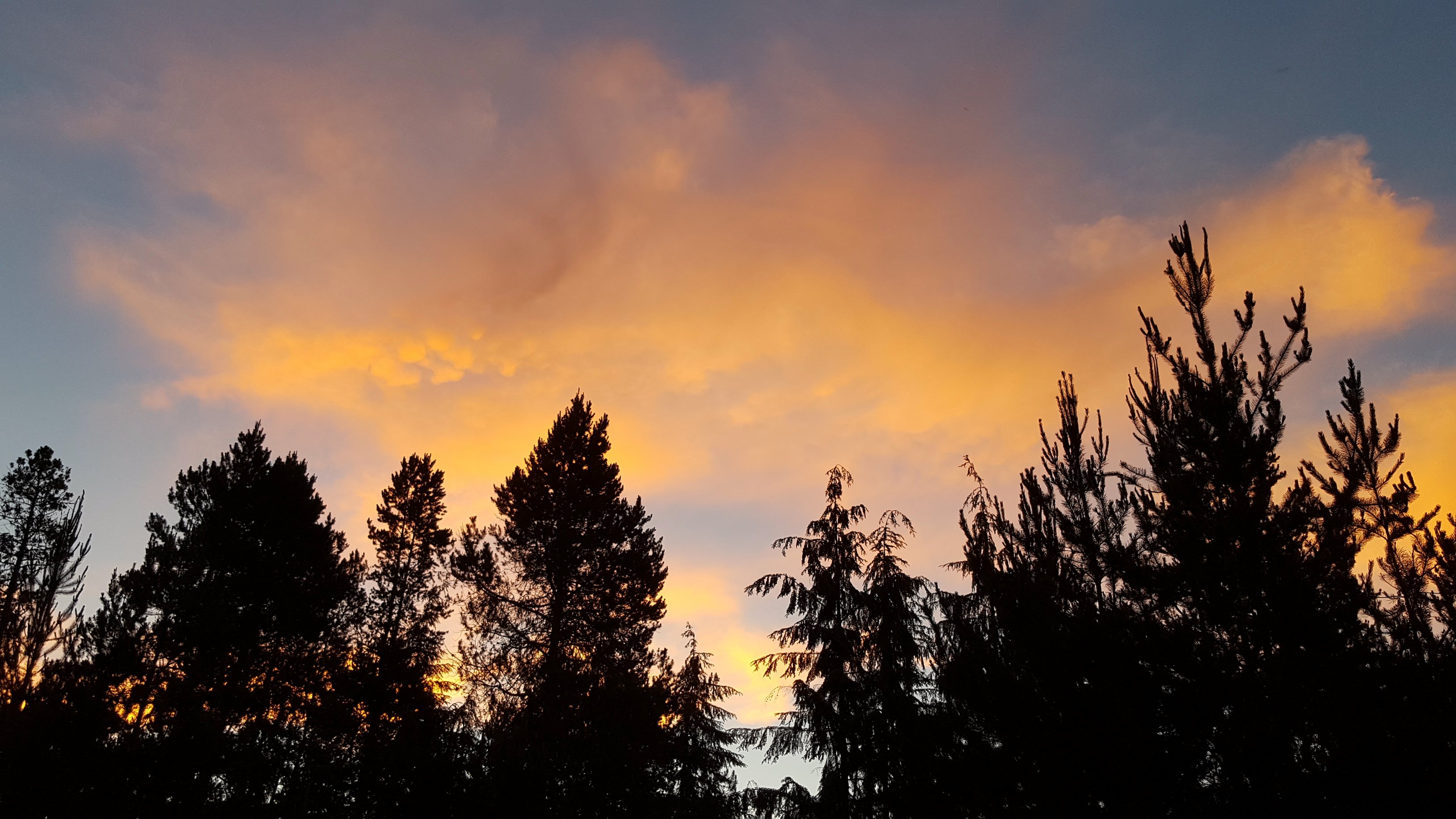
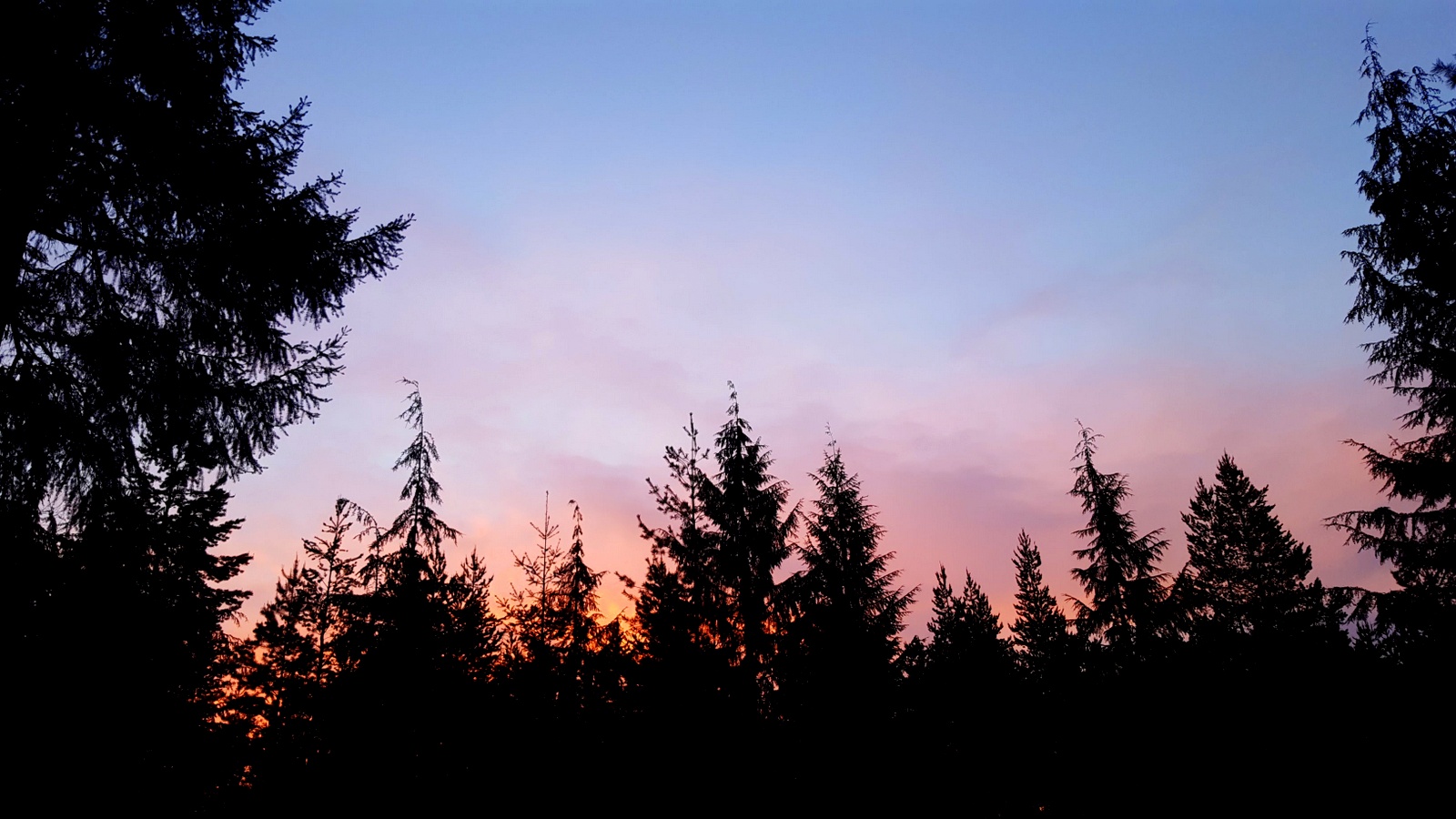
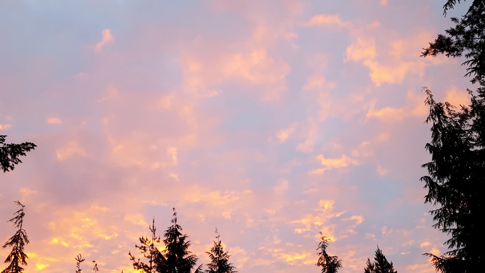
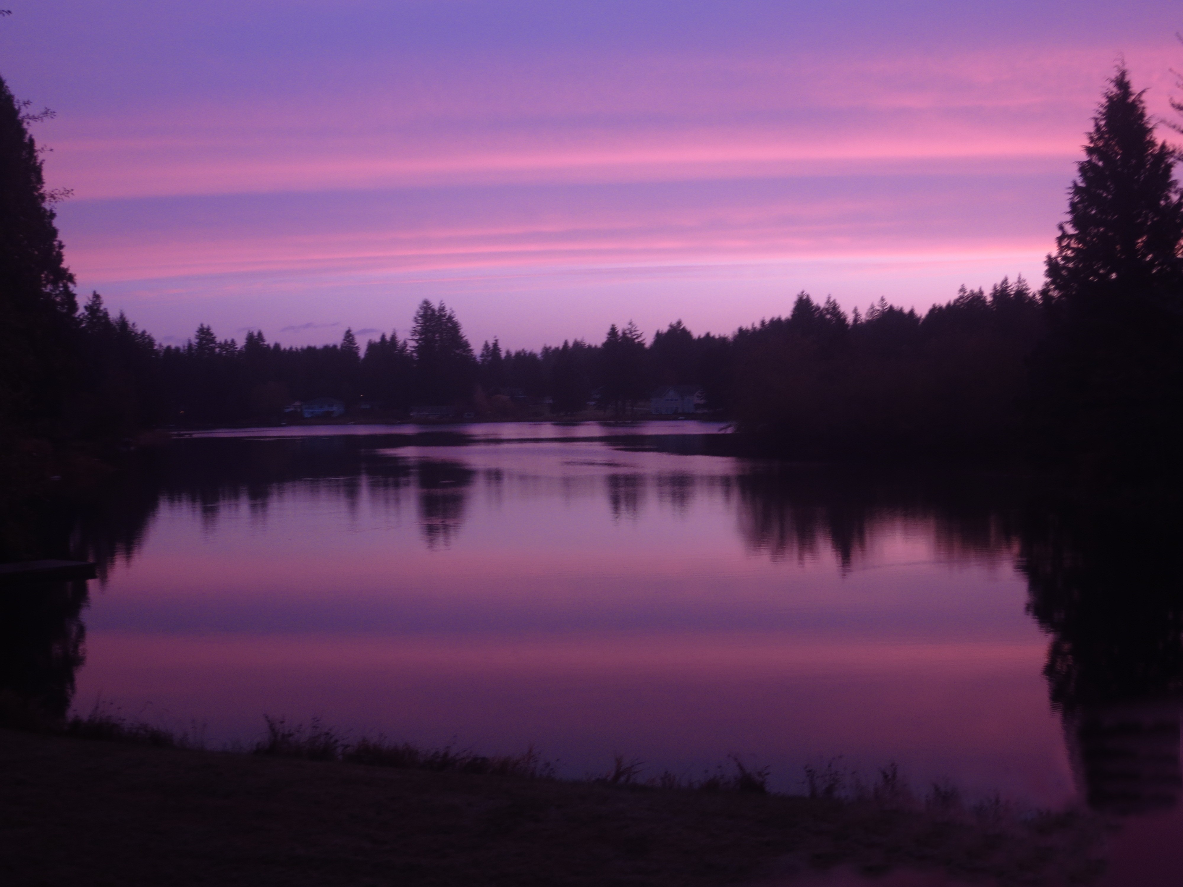
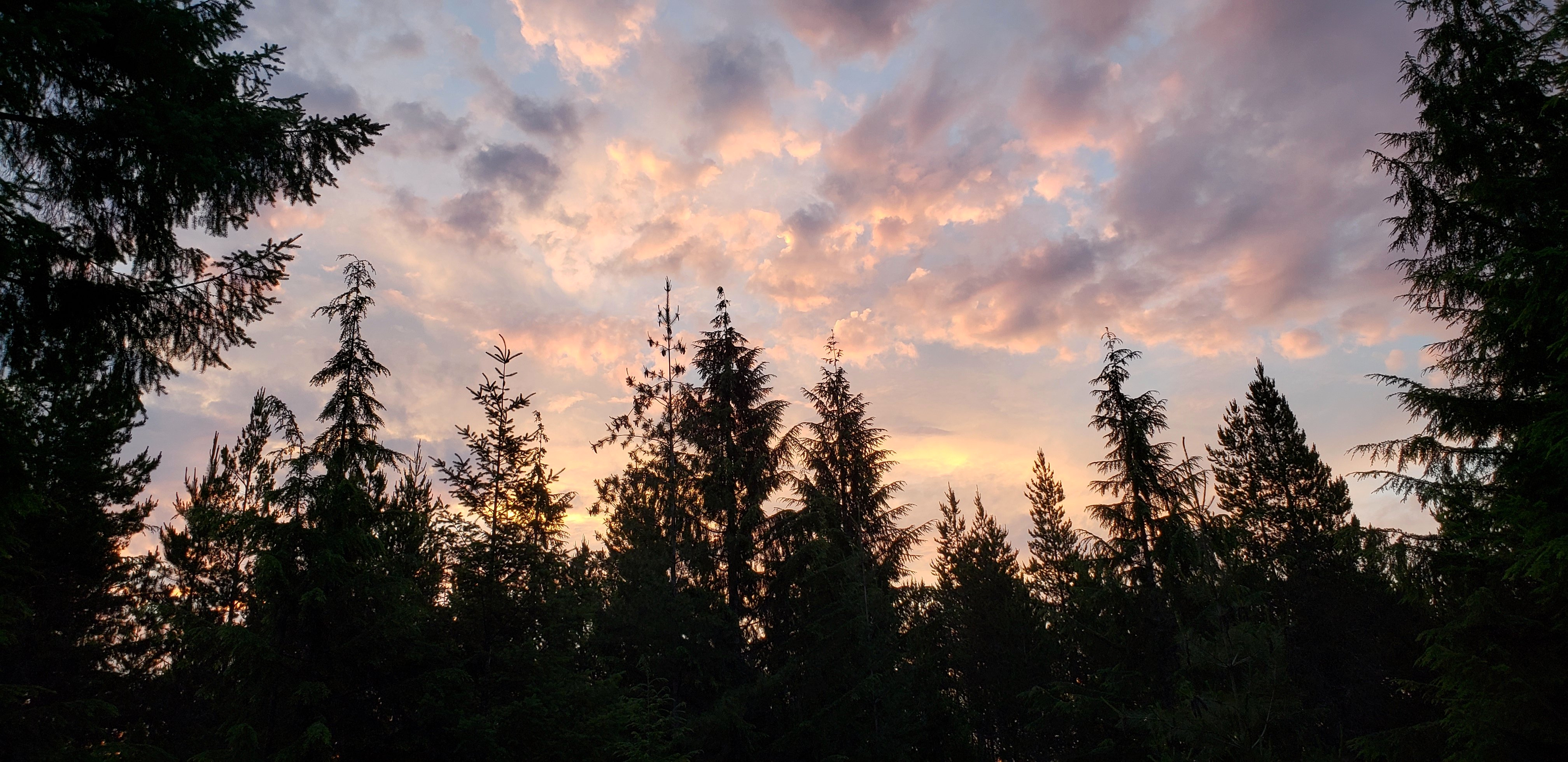
日出日落照片
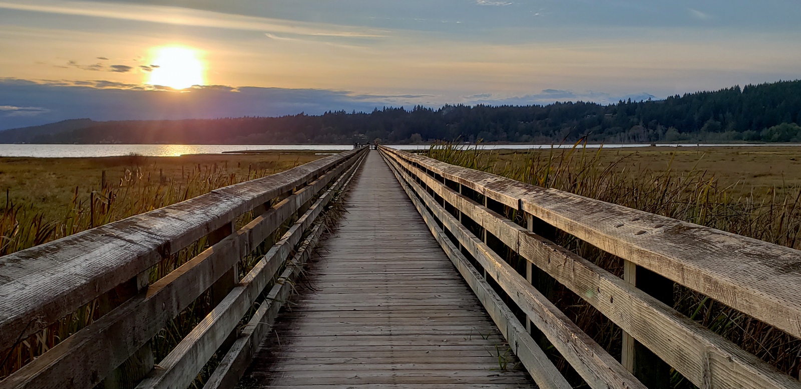
Crossing the Salt Marsh to the Hood Canal

Nikon D7000 Sunset Tokina 11-16mm Wide Angle
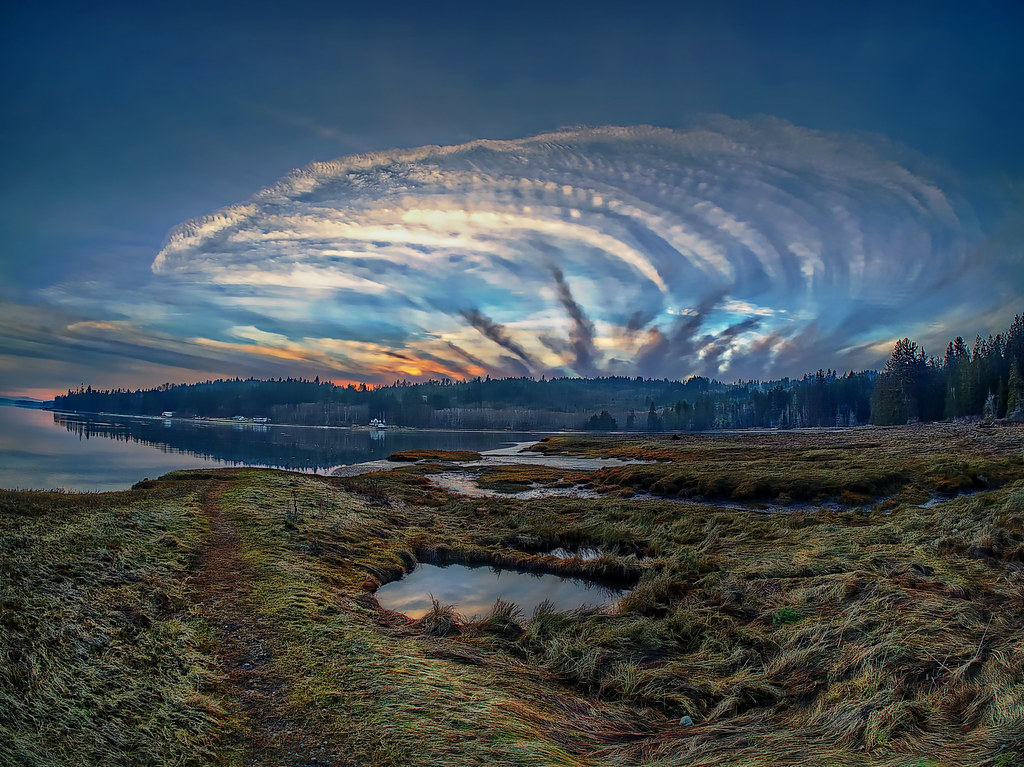
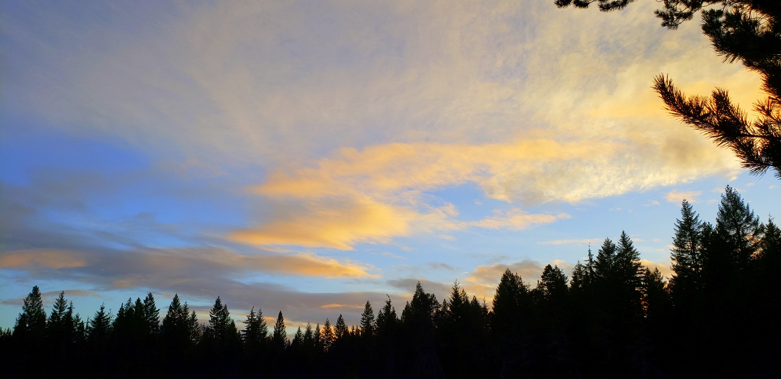
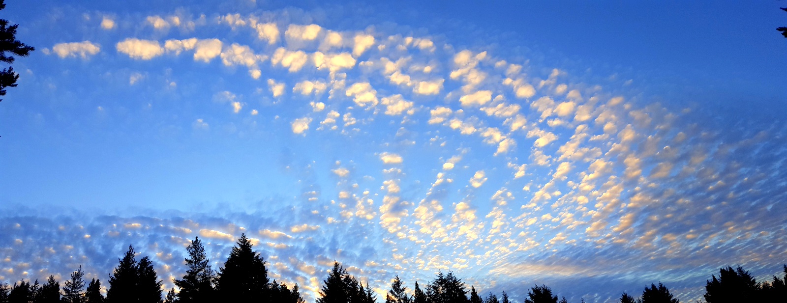
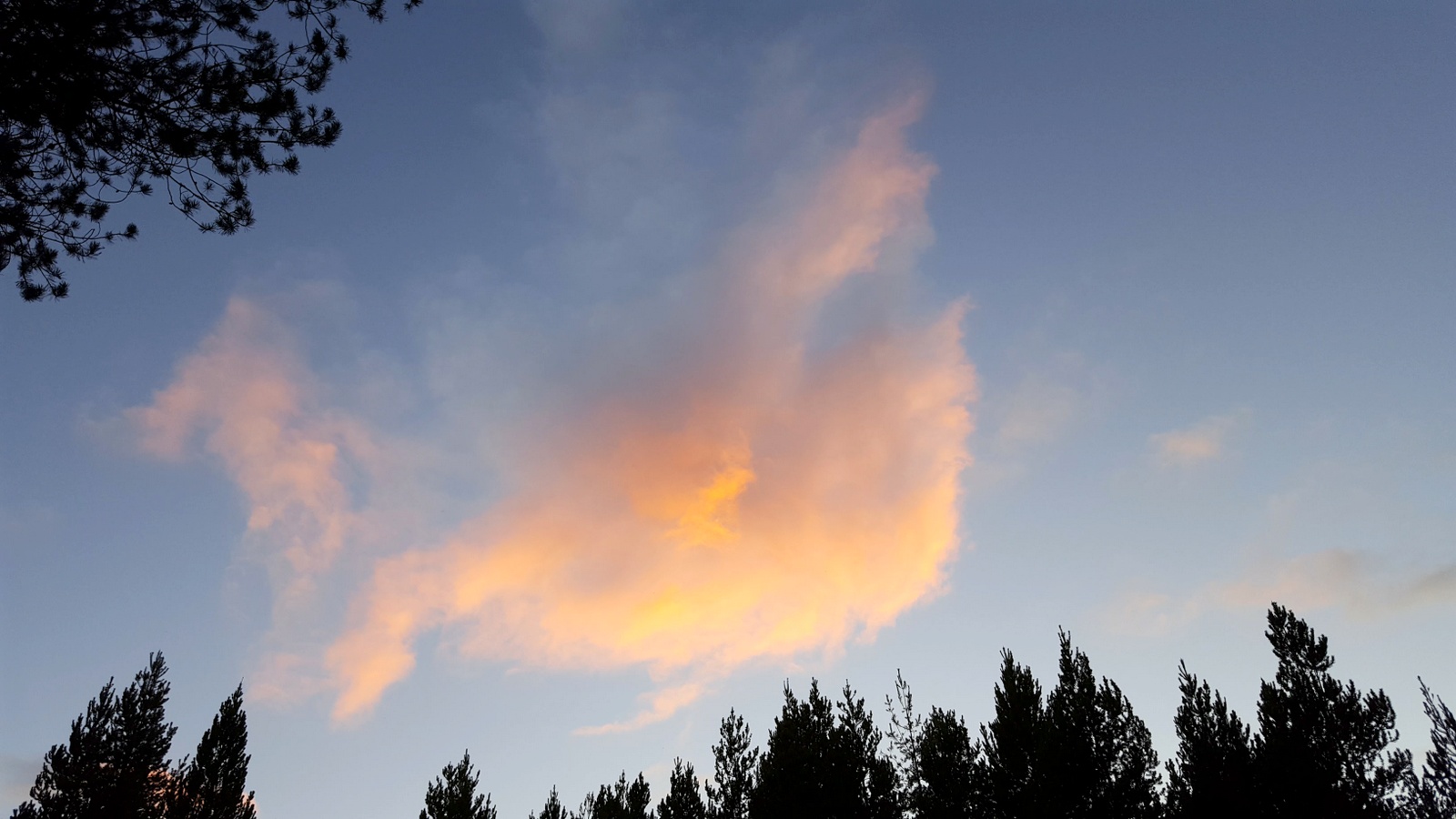
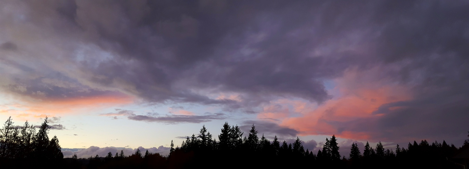
Wind Shaped Clouds
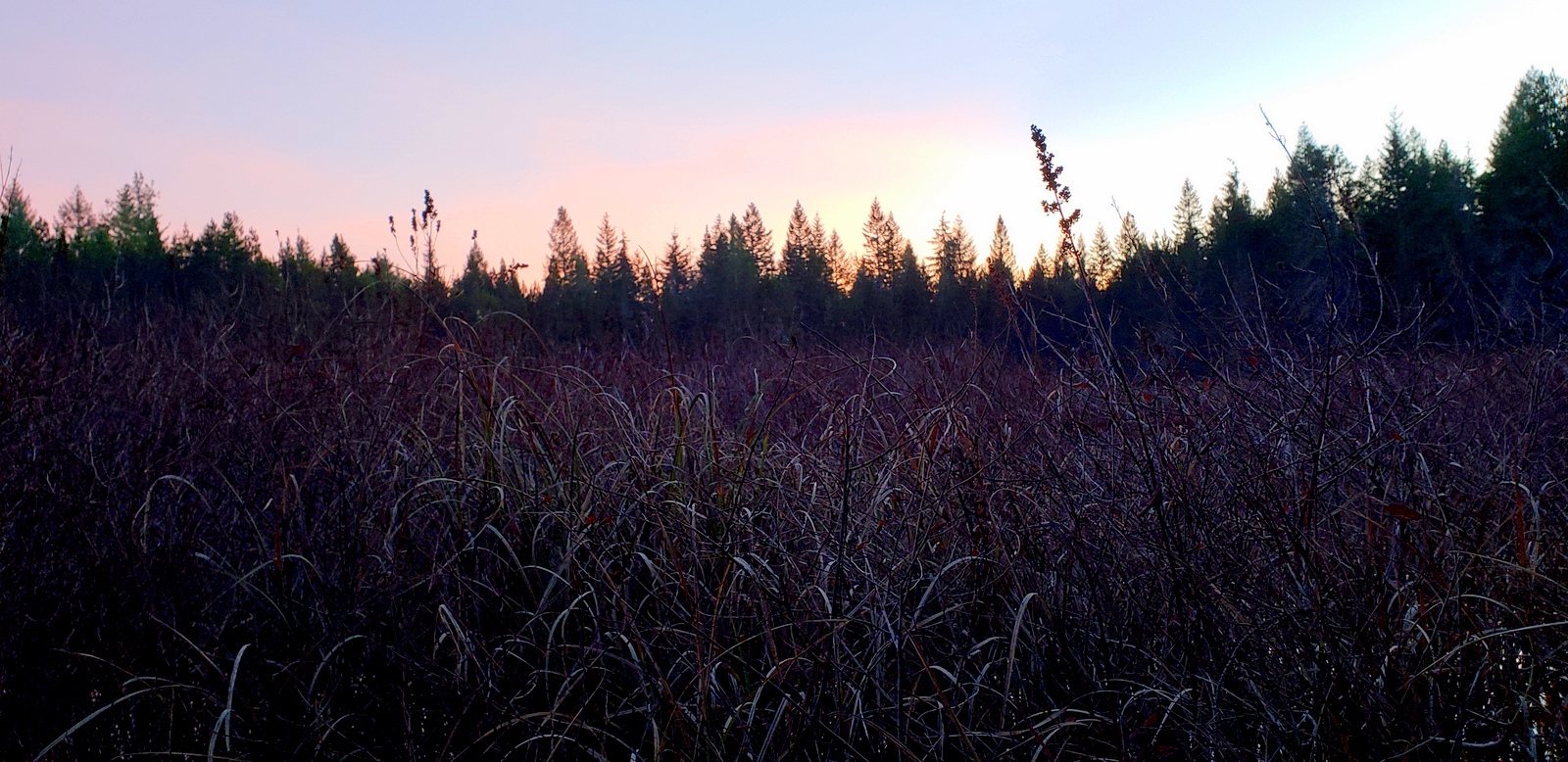
Wetland Sunset
Wetland Sunset
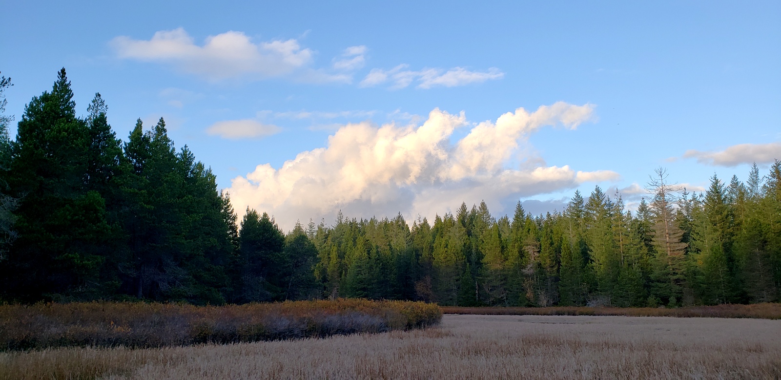
Wetland Sunset
Wetland Sunset
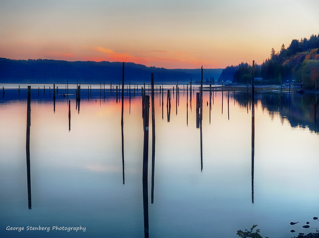
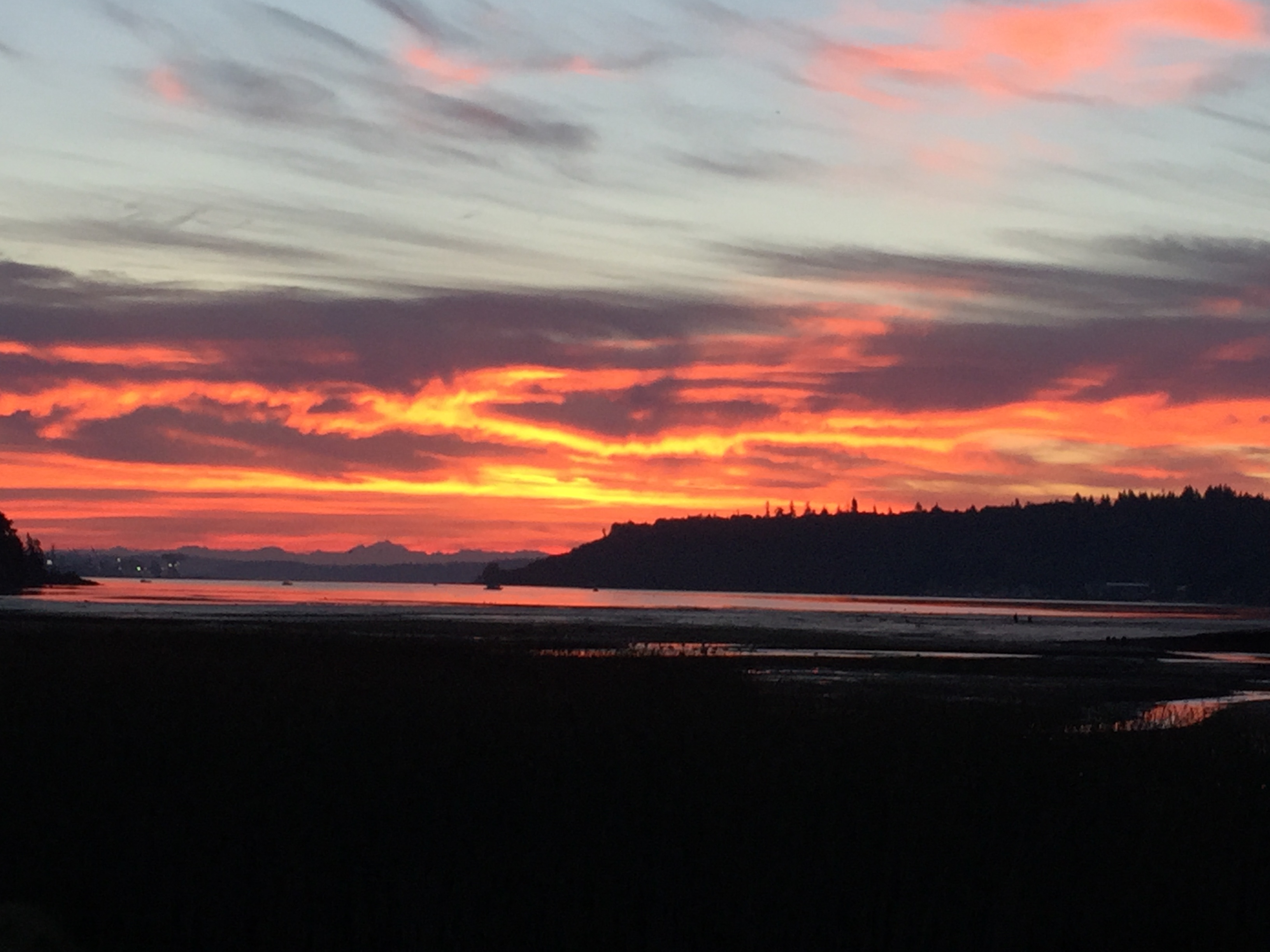
Hood Canal and It's Tides
A Place to Rest

Power Line Sunset
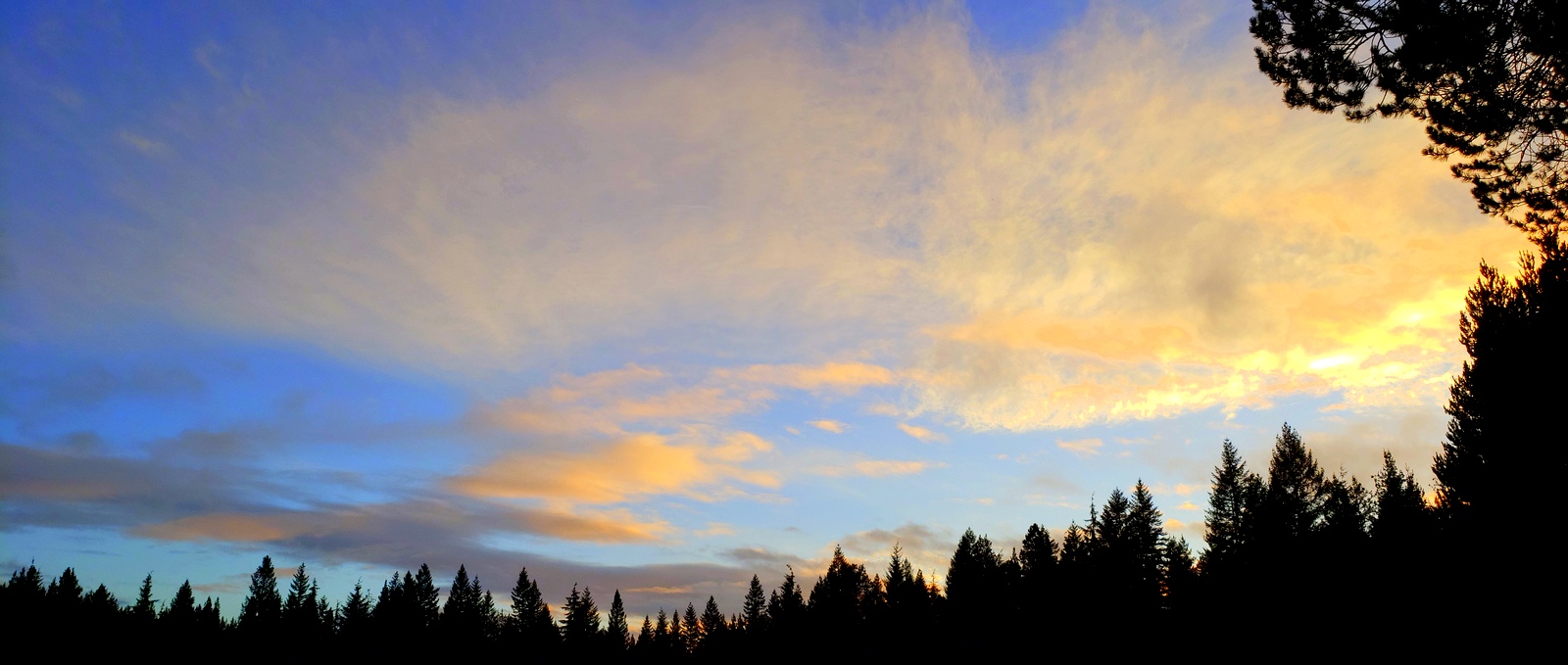
Bright Afternoon Sky

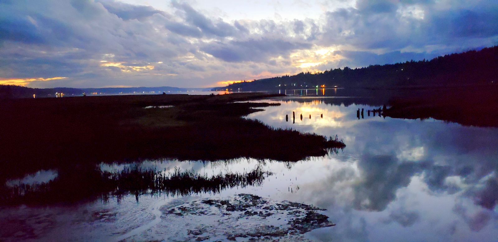
Twilight Reflection
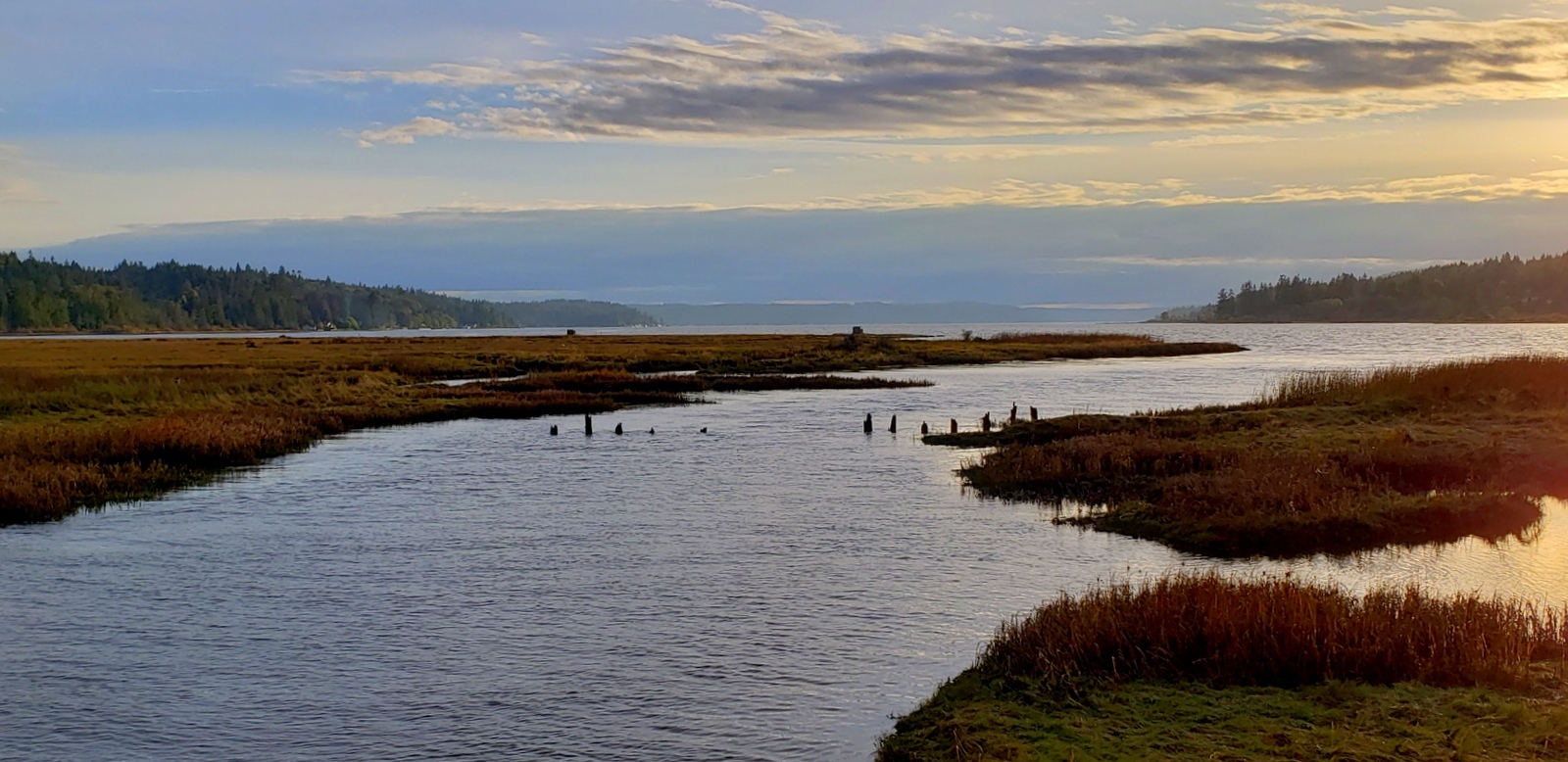
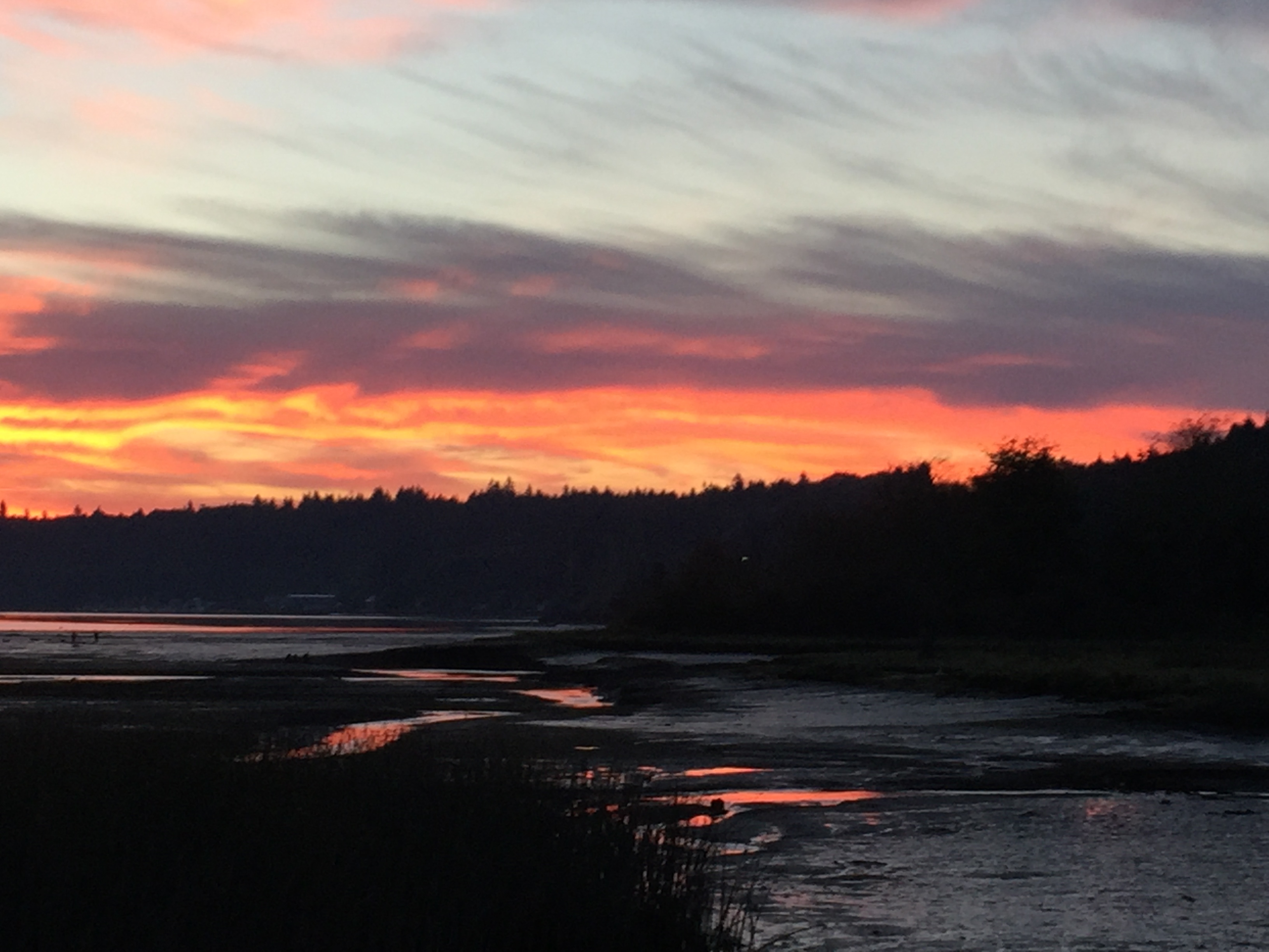
Tide Channels of the Hood Canal
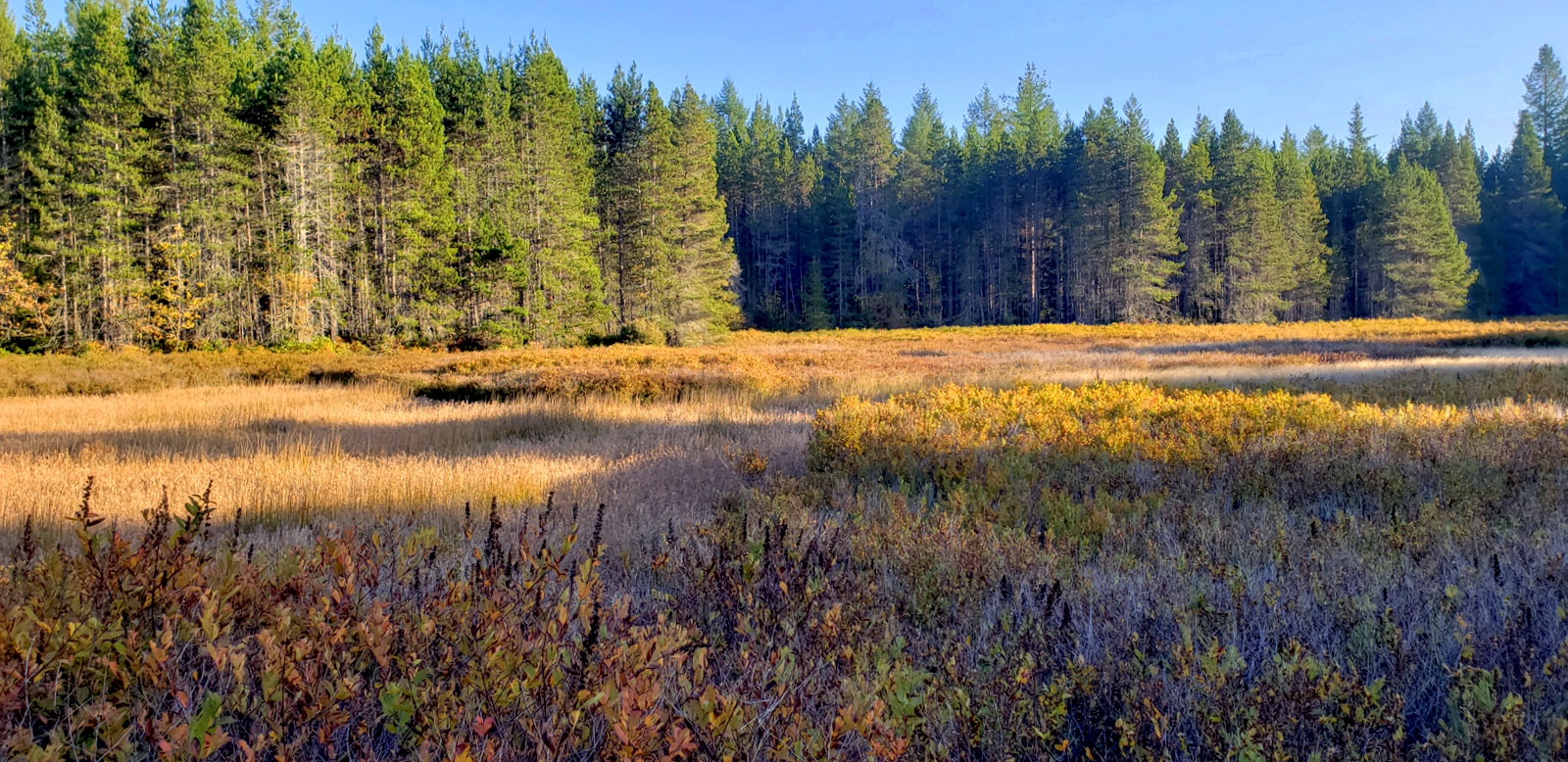
The Heart of the Wetland
Shadows Racing Across the Wetland
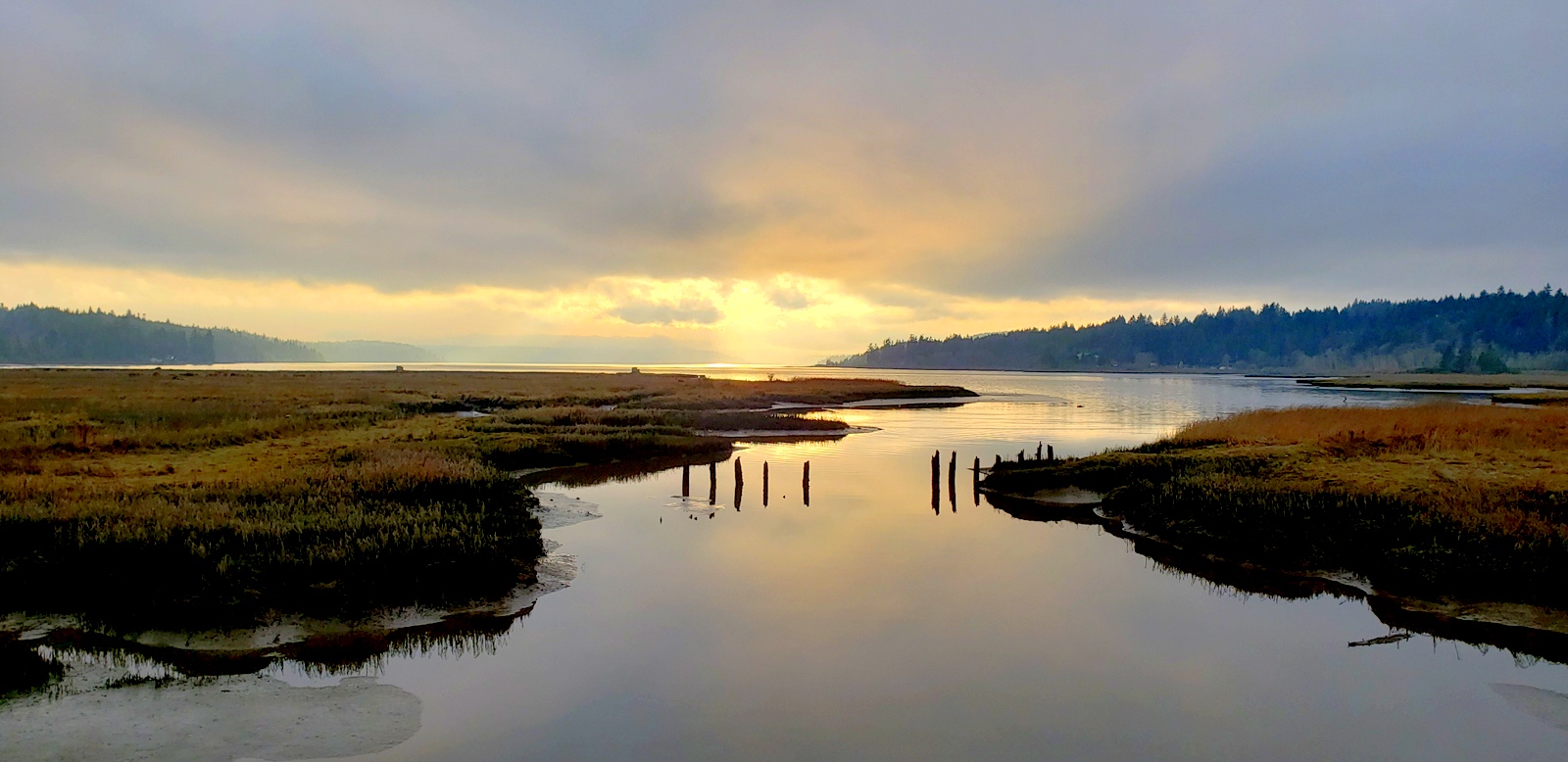
Hood Canal Sunset
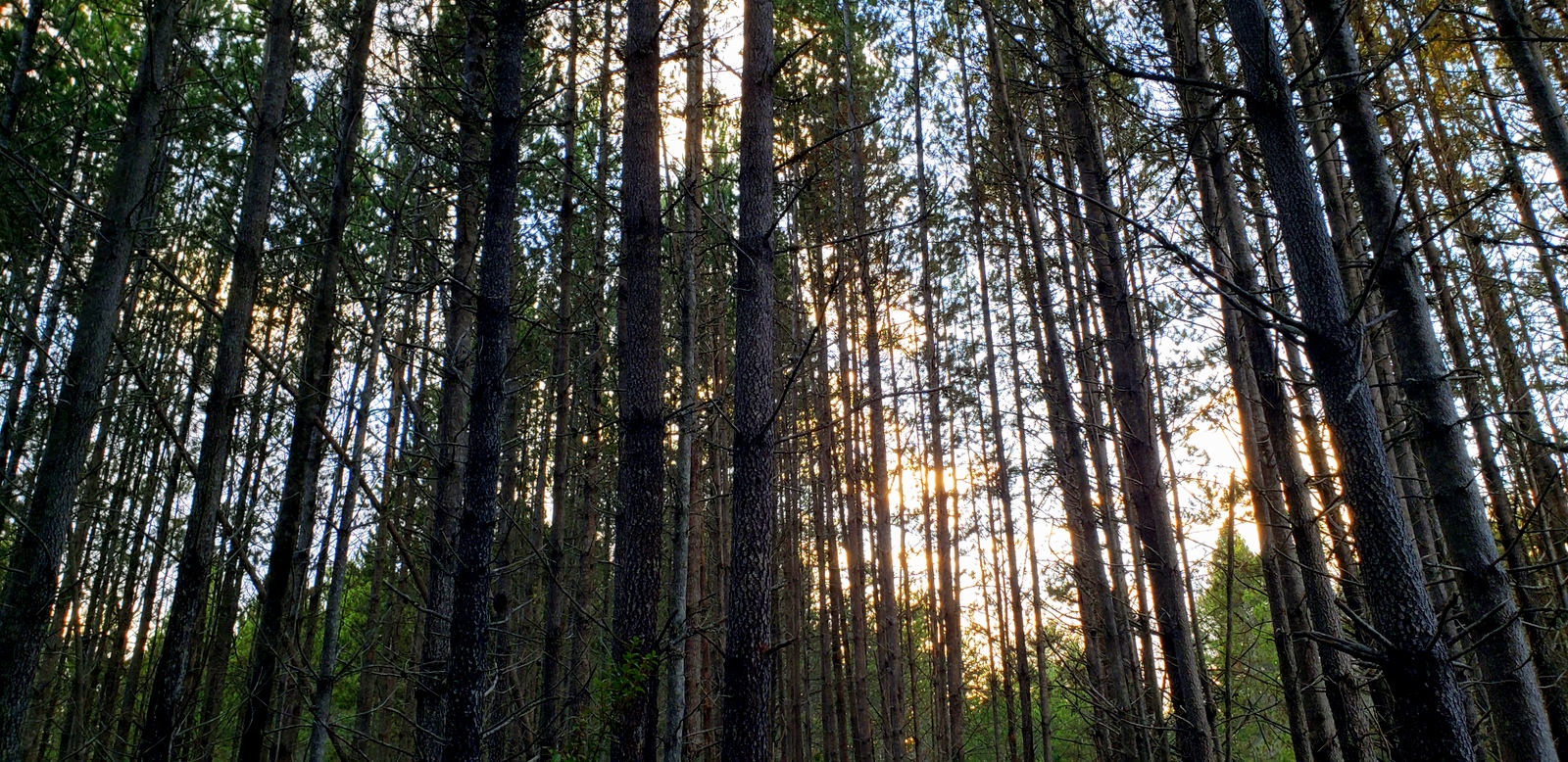
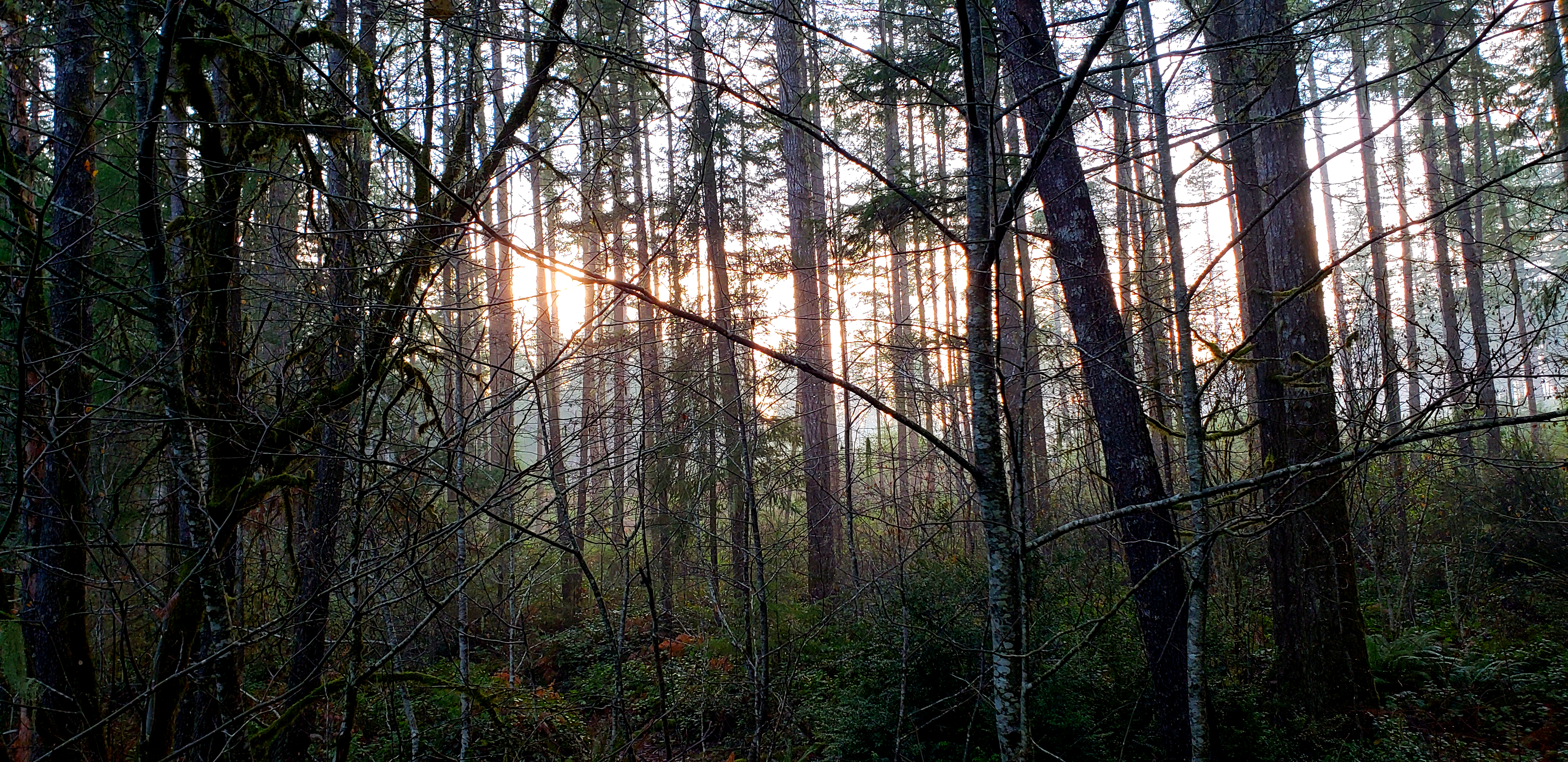
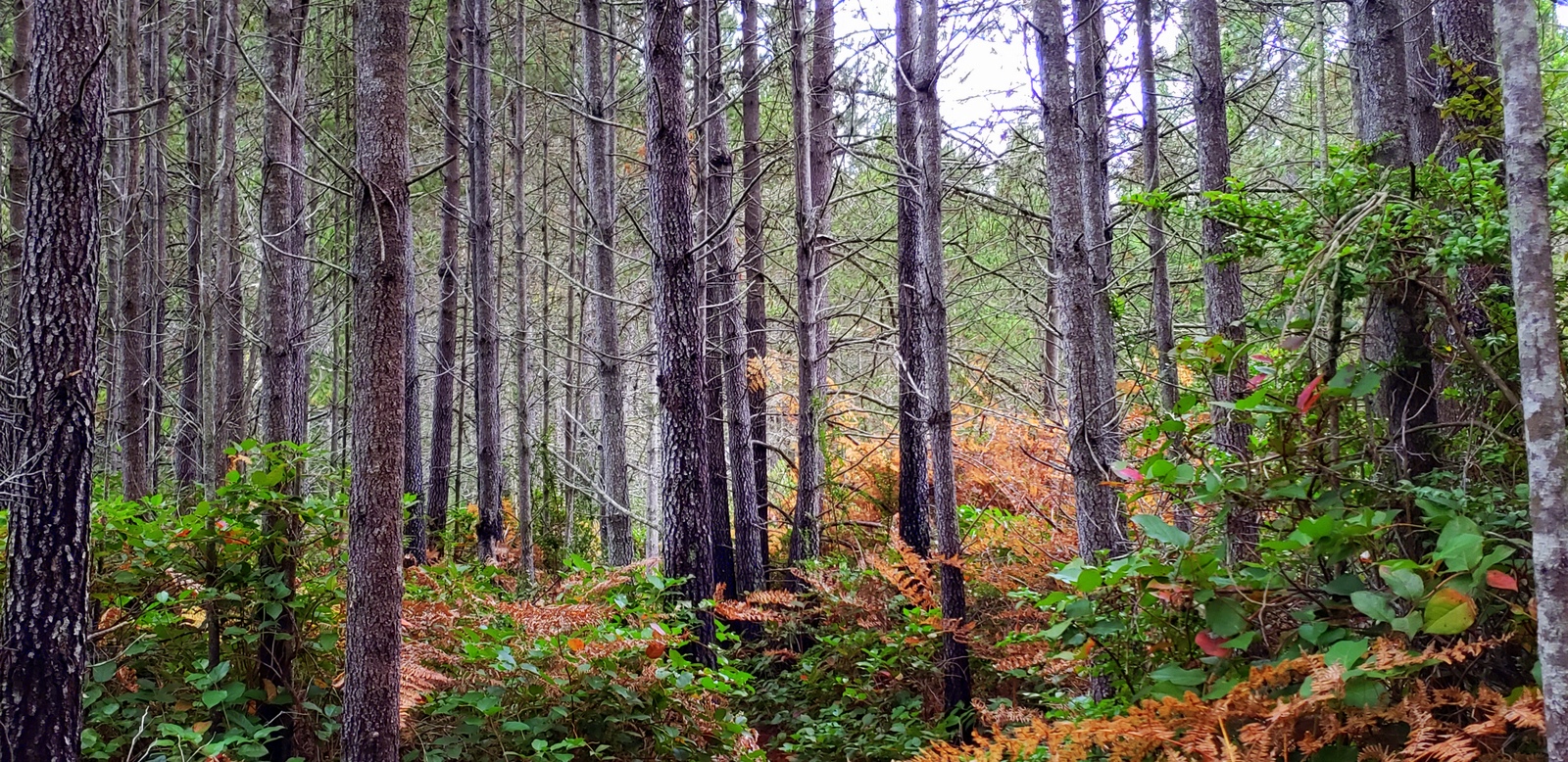
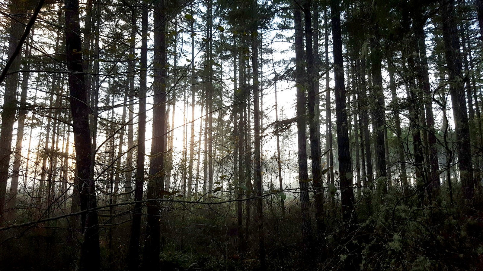
Surrounded by Trunks
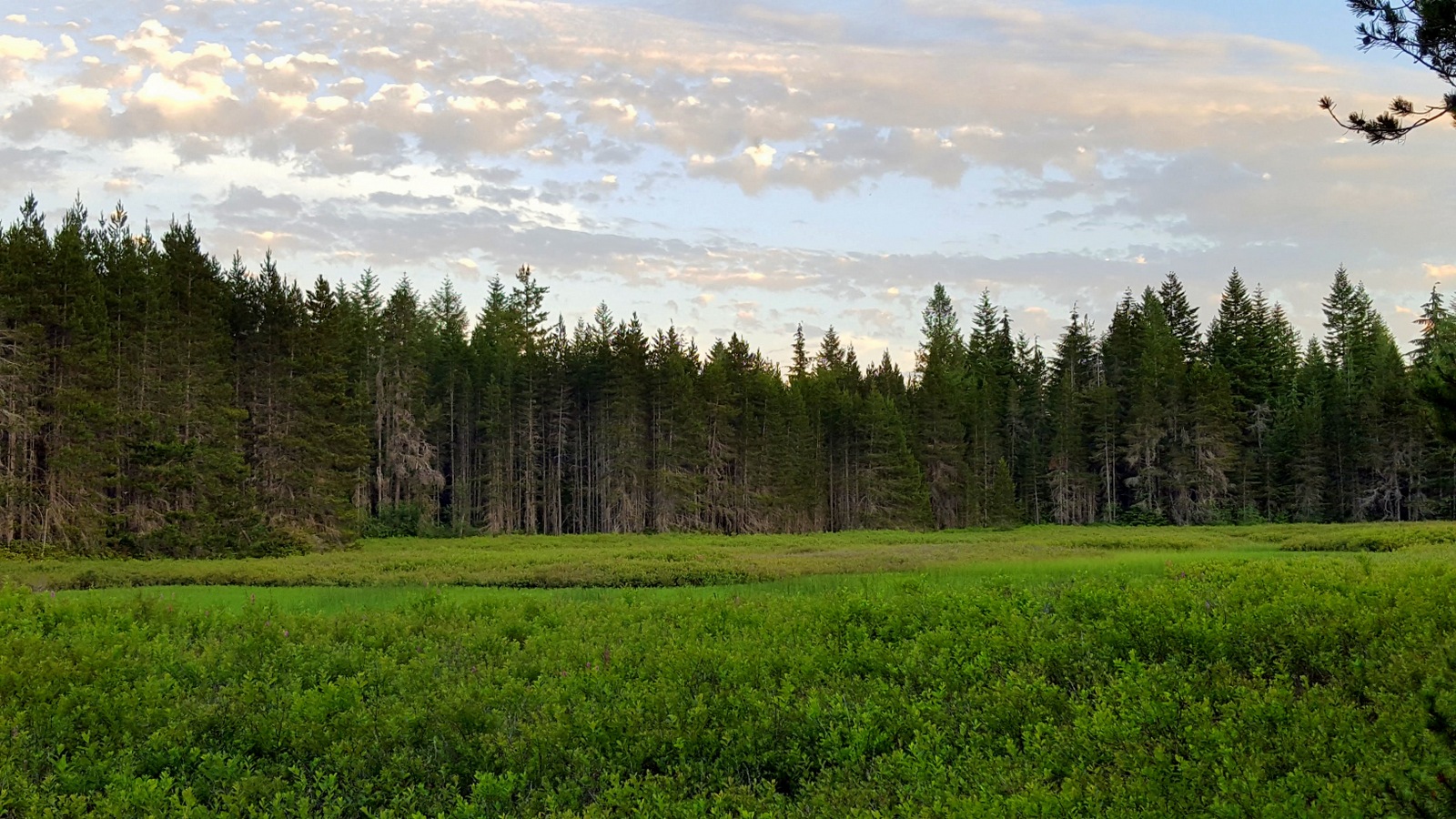
The wetland is back in business
Wetland sunset
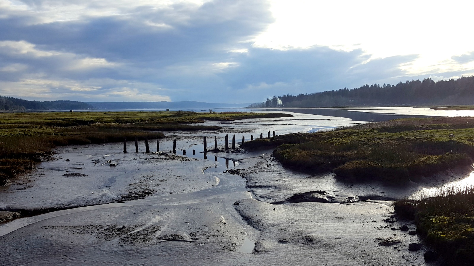
Hood Canal tidal runoff.

Setting on relaxing times...
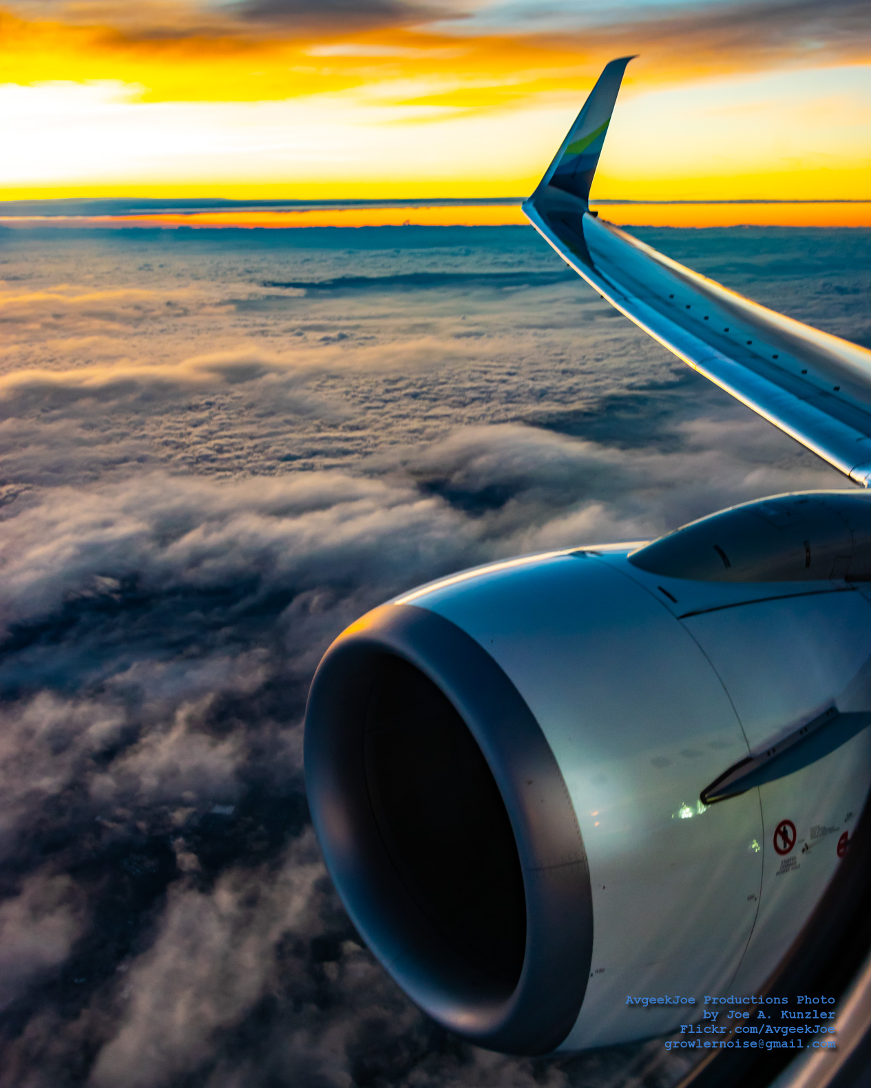
Sunrise and Clouds From 14,475 Feet Above Sea Level
Sunset on our property

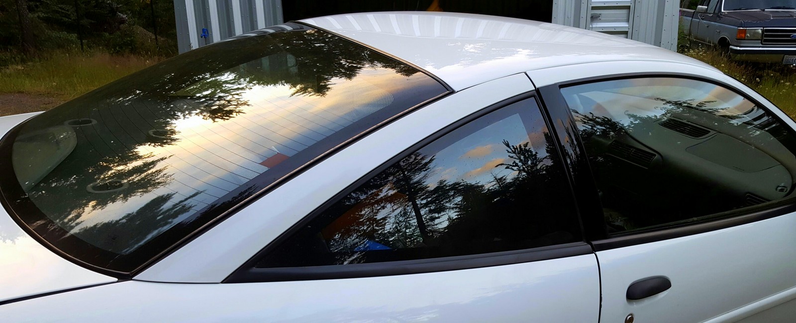
Sunrise on the Subaru

Too heavy
Kitsap sunrise

Mist Over Water (August)
Sunrise over the wetland

Back Porch Lit
Red sky sunrise
June sunrise

Silhouette at Sunrise
Another Day...Another Color
A little later, same sunrise

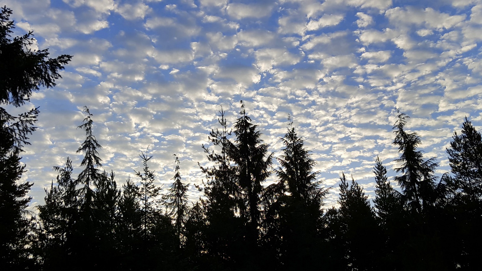
Light fog on the wetland
Ghost Ranch sunset

Union River sunset
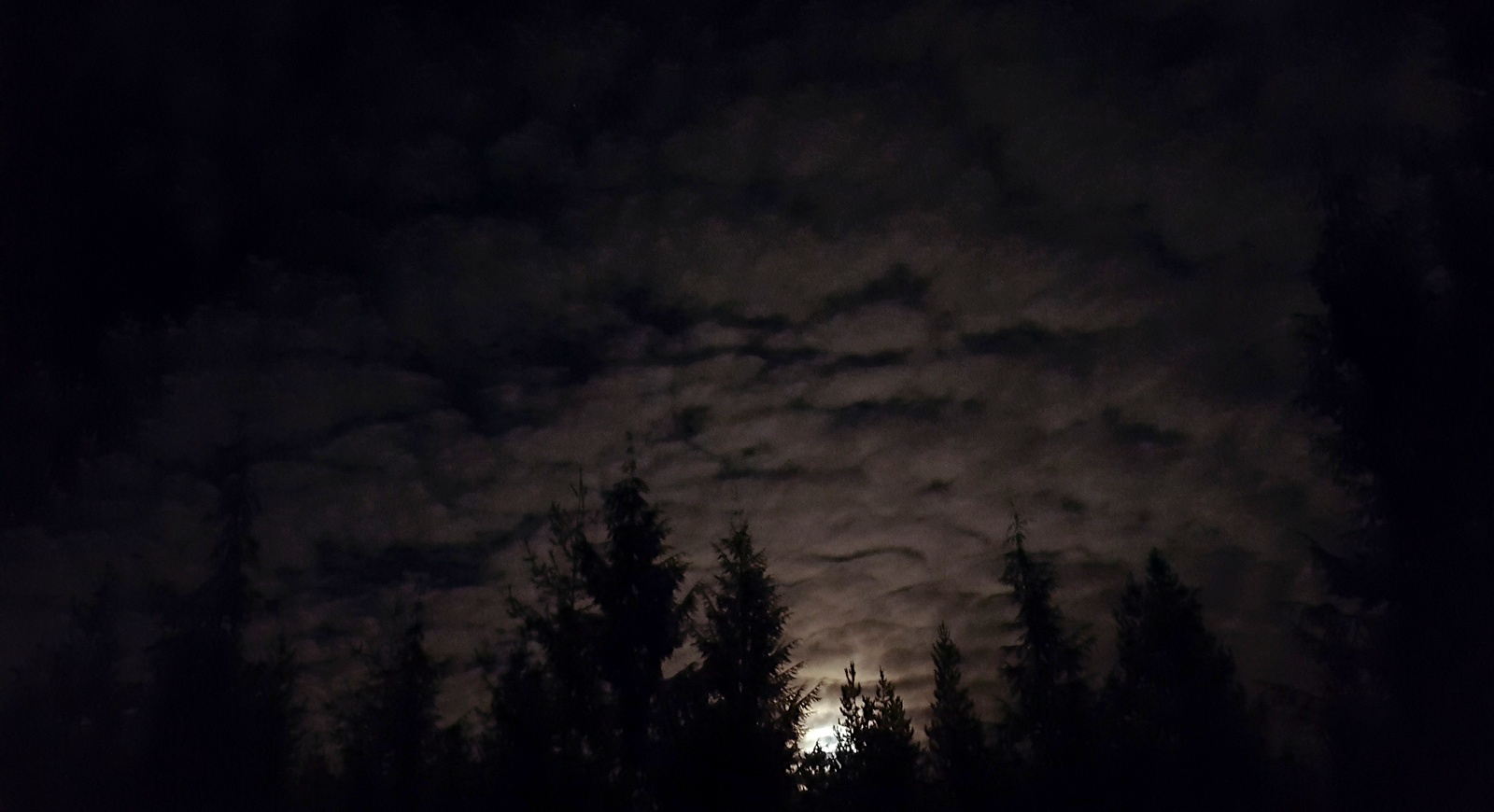
Wetland moonrise
Foggy sunset
Belfair sunset
Stopped for sunrise near Port Orchard at about 05:50AM.
Stopped for sunrise near Port Orchard at about 05:50AM.
NE Sand Hill Rd, Belfair, WA 美國的地圖
搜索其他地方的日出日落時間
附近地點
NE Old Belfair Hwy, Belfair, WA 美國
NE Bear Creek Dewatto Rd, Belfair, WA 美國
NE Bear Creek Dewatto Rd, Belfair, WA 美國
NE Panther Lake Rd, Bremerton, WA 美國
NE Old Belfair Hwy, Belfair, WA 美國
NE Toonerville Dr, Washington 美國Northeast Toonerville Drive
NE Old Belfair Hwy, Belfair, WA 美國
Tiger Lake, Washington 美國
N Mission Rd W, Bremerton, WA 美國
NE Munson Blvd, Belfair, WA 美國
W Belfair Valley Rd, Bremerton, WA 美國
Peter Hagen Rd NW, Seabeck, WA 美國
Lewis Rd W, Seabeck, WA 美國
- Gold Creek Rd W, Bremerton, WA 美國Gold Creek Trail Head
Minard Rd W, Washington 美國Minard Road West
W Morganmarsh Ln, Seabeck, WA 美國
W Belfair Valley Rd, Bremerton, WA 美國
Rhododendron Ct NW, Bremerton, WA 美國
Peter Hagen Rd NW, Seabeck, WA 美國
Wilkinson Rd W, Bremerton, WA 美國
最近搜索
- 日本〒- 靜岡縣富士宮市 KitayamaMount Fuji的日出日落時間表
- Laurel Rd, Townsend, TN 美國的日出日落時間表
- 中國广东省深圳市龙岗区海滨南路GFPQ+R9Q 海濱南路的日出日落時間表
- Redondo Ave, Long Beach, CA 美國的日出日落時間表
- Ulitsa Kalinina, 79, Rezh, Sverdlovskaya oblast', 俄羅斯的日出日落時間表
- Leguwa 尼泊爾的日出日落時間表
- Shustino, Vladimir Oblast, 俄羅斯的日出日落時間表
- Lampiasi St, Sarasota, FL 美國的日出日落時間表
- 日本〒- Toyama, Kubomotomachi, 12−31 APAガーデンコート稲荷的日出日落時間表
- 台灣宜蘭縣大同鄉加羅湖的日出日落時間表