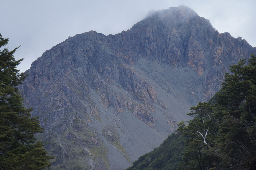
Gray Hill, Canterbury 紐西蘭的日出日落時間表
Location: 紐西蘭 > 坎特伯里 > 紐西蘭 >
時區:
Pacific/Auckland
當地時間:
2024-04-29 10:58:53
經度:
171.9633333
緯度:
-42.9541666
今天日出時間:
07:20:44 AM
今天日落時間:
05:38:13 PM
今天日照時長:
10h 17m 29s
明天日出時間:
07:21:51 AM
明天日落時間:
05:36:50 PM
明天日照時長:
10h 14m 59s
顯示所有日期
| 日期 | 日出 | 日落 | 日照時長 |
|---|---|---|---|
| 2024年01月01日 | 05:56:17 AM | 09:14:10 PM | 15h 17m 53s |
| 2024年01月02日 | 05:57:09 AM | 09:14:15 PM | 15h 17m 6s |
| 2024年01月03日 | 05:58:03 AM | 09:14:17 PM | 15h 16m 14s |
| 2024年01月04日 | 05:58:58 AM | 09:14:17 PM | 15h 15m 19s |
| 2024年01月05日 | 05:59:56 AM | 09:14:14 PM | 15h 14m 18s |
| 2024年01月06日 | 06:00:55 AM | 09:14:09 PM | 15h 13m 14s |
| 2024年01月07日 | 06:01:55 AM | 09:14:01 PM | 15h 12m 6s |
| 2024年01月08日 | 06:02:58 AM | 09:13:51 PM | 15h 10m 53s |
| 2024年01月09日 | 06:04:01 AM | 09:13:38 PM | 15h 9m 37s |
| 2024年01月10日 | 06:05:06 AM | 09:13:23 PM | 15h 8m 17s |
| 2024年01月11日 | 06:06:13 AM | 09:13:05 PM | 15h 6m 52s |
| 2024年01月12日 | 06:07:21 AM | 09:12:45 PM | 15h 5m 24s |
| 2024年01月13日 | 06:08:30 AM | 09:12:23 PM | 15h 3m 53s |
| 2024年01月14日 | 06:09:40 AM | 09:11:58 PM | 15h 2m 18s |
| 2024年01月15日 | 06:10:52 AM | 09:11:30 PM | 15h 0m 38s |
| 2024年01月16日 | 06:12:04 AM | 09:11:01 PM | 14h 58m 57s |
| 2024年01月17日 | 06:13:17 AM | 09:10:29 PM | 14h 57m 12s |
| 2024年01月18日 | 06:14:32 AM | 09:09:54 PM | 14h 55m 22s |
| 2024年01月19日 | 06:15:47 AM | 09:09:17 PM | 14h 53m 30s |
| 2024年01月20日 | 06:17:03 AM | 09:08:39 PM | 14h 51m 36s |
| 2024年01月21日 | 06:18:20 AM | 09:07:57 PM | 14h 49m 37s |
| 2024年01月22日 | 06:19:37 AM | 09:07:14 PM | 14h 47m 37s |
| 2024年01月23日 | 06:20:55 AM | 09:06:29 PM | 14h 45m 34s |
| 2024年01月24日 | 06:22:14 AM | 09:05:41 PM | 14h 43m 27s |
| 2024年01月25日 | 06:23:33 AM | 09:04:51 PM | 14h 41m 18s |
| 2024年01月26日 | 06:24:53 AM | 09:03:59 PM | 14h 39m 6s |
| 2024年01月27日 | 06:26:13 AM | 09:03:06 PM | 14h 36m 53s |
| 2024年01月28日 | 06:27:34 AM | 09:02:10 PM | 14h 34m 36s |
| 2024年01月29日 | 06:28:55 AM | 09:01:12 PM | 14h 32m 17s |
| 2024年01月30日 | 06:30:16 AM | 09:00:13 PM | 14h 29m 57s |
| 2024年01月31日 | 06:31:37 AM | 08:59:11 PM | 14h 27m 34s |
| 2024年02月01日 | 06:32:59 AM | 08:58:08 PM | 14h 25m 9s |
| 2024年02月02日 | 06:34:20 AM | 08:57:03 PM | 14h 22m 43s |
| 2024年02月03日 | 06:35:42 AM | 08:55:56 PM | 14h 20m 14s |
| 2024年02月04日 | 06:37:04 AM | 08:54:47 PM | 14h 17m 43s |
| 2024年02月05日 | 06:38:26 AM | 08:53:37 PM | 14h 15m 11s |
| 2024年02月06日 | 06:39:48 AM | 08:52:25 PM | 14h 12m 37s |
| 2024年02月07日 | 06:41:10 AM | 08:51:12 PM | 14h 10m 2s |
| 2024年02月08日 | 06:42:32 AM | 08:49:57 PM | 14h 7m 25s |
| 2024年02月09日 | 06:43:53 AM | 08:48:41 PM | 14h 4m 48s |
| 2024年02月10日 | 06:45:15 AM | 08:47:23 PM | 14h 2m 8s |
| 2024年02月11日 | 06:46:36 AM | 08:46:03 PM | 13h 59m 27s |
| 2024年02月12日 | 06:47:58 AM | 08:44:43 PM | 13h 56m 45s |
| 2024年02月13日 | 06:49:19 AM | 08:43:21 PM | 13h 54m 2s |
| 2024年02月14日 | 06:50:40 AM | 08:41:57 PM | 13h 51m 17s |
| 2024年02月15日 | 06:52:01 AM | 08:40:33 PM | 13h 48m 32s |
| 2024年02月16日 | 06:53:21 AM | 08:39:07 PM | 13h 45m 46s |
| 2024年02月17日 | 06:54:41 AM | 08:37:40 PM | 13h 42m 59s |
| 2024年02月18日 | 06:56:01 AM | 08:36:12 PM | 13h 40m 11s |
| 2024年02月19日 | 06:57:21 AM | 08:34:42 PM | 13h 37m 21s |
| 2024年02月20日 | 06:58:40 AM | 08:33:12 PM | 13h 34m 32s |
| 2024年02月21日 | 06:59:59 AM | 08:31:41 PM | 13h 31m 42s |
| 2024年02月22日 | 07:01:18 AM | 08:30:08 PM | 13h 28m 50s |
| 2024年02月23日 | 07:02:37 AM | 08:28:35 PM | 13h 25m 58s |
| 2024年02月24日 | 07:03:55 AM | 08:27:01 PM | 13h 23m 6s |
| 2024年02月25日 | 07:05:13 AM | 08:25:26 PM | 13h 20m 13s |
| 2024年02月26日 | 07:06:30 AM | 08:23:50 PM | 13h 17m 20s |
| 2024年02月27日 | 07:07:47 AM | 08:22:13 PM | 13h 14m 26s |
| 2024年02月28日 | 07:09:04 AM | 08:20:35 PM | 13h 11m 31s |
| 2024年02月29日 | 07:10:20 AM | 08:18:57 PM | 13h 8m 37s |
| 2024年03月01日 | 07:11:37 AM | 08:17:18 PM | 13h 5m 41s |
| 2024年03月02日 | 07:12:52 AM | 08:15:38 PM | 13h 2m 46s |
| 2024年03月03日 | 07:14:08 AM | 08:13:58 PM | 12h 59m 50s |
| 2024年03月04日 | 07:15:23 AM | 08:12:17 PM | 12h 56m 54s |
| 2024年03月05日 | 07:16:38 AM | 08:10:36 PM | 12h 53m 58s |
| 2024年03月06日 | 07:17:52 AM | 08:08:54 PM | 12h 51m 2s |
| 2024年03月07日 | 07:19:06 AM | 08:07:11 PM | 12h 48m 5s |
| 2024年03月08日 | 07:20:20 AM | 08:05:28 PM | 12h 45m 8s |
| 2024年03月09日 | 07:21:34 AM | 08:03:45 PM | 12h 42m 11s |
| 2024年03月10日 | 07:22:47 AM | 08:02:01 PM | 12h 39m 14s |
| 2024年03月11日 | 07:24:00 AM | 08:00:17 PM | 12h 36m 17s |
| 2024年03月12日 | 07:25:13 AM | 07:58:32 PM | 12h 33m 19s |
| 2024年03月13日 | 07:26:25 AM | 07:56:47 PM | 12h 30m 22s |
| 2024年03月14日 | 07:27:37 AM | 07:55:02 PM | 12h 27m 25s |
| 2024年03月15日 | 07:28:49 AM | 07:53:17 PM | 12h 24m 28s |
| 2024年03月16日 | 07:30:01 AM | 07:51:31 PM | 12h 21m 30s |
| 2024年03月17日 | 07:31:12 AM | 07:49:46 PM | 12h 18m 34s |
| 2024年03月18日 | 07:32:23 AM | 07:48:00 PM | 12h 15m 37s |
| 2024年03月19日 | 07:33:34 AM | 07:46:14 PM | 12h 12m 40s |
| 2024年03月20日 | 07:34:45 AM | 07:44:28 PM | 12h 9m 43s |
| 2024年03月21日 | 07:35:55 AM | 07:42:42 PM | 12h 6m 47s |
| 2024年03月22日 | 07:37:06 AM | 07:40:56 PM | 12h 3m 50s |
| 2024年03月23日 | 07:38:16 AM | 07:39:09 PM | 12h 0m 53s |
| 2024年03月24日 | 07:39:26 AM | 07:37:23 PM | 11h 57m 57s |
| 2024年03月25日 | 07:40:36 AM | 07:35:37 PM | 11h 55m 1s |
| 2024年03月26日 | 07:41:45 AM | 07:33:51 PM | 11h 52m 6s |
| 2024年03月27日 | 07:42:55 AM | 07:32:06 PM | 11h 49m 11s |
| 2024年03月28日 | 07:44:04 AM | 07:30:20 PM | 11h 46m 16s |
| 2024年03月29日 | 07:45:14 AM | 07:28:35 PM | 11h 43m 21s |
| 2024年03月30日 | 07:46:23 AM | 07:26:49 PM | 11h 40m 26s |
| 2024年03月31日 | 07:47:32 AM | 07:25:04 PM | 11h 37m 32s |
| 2024年04月01日 | 07:48:41 AM | 07:23:20 PM | 11h 34m 39s |
| 2024年04月02日 | 07:49:50 AM | 07:21:35 PM | 11h 31m 45s |
| 2024年04月03日 | 07:50:59 AM | 07:19:51 PM | 11h 28m 52s |
| 2024年04月04日 | 07:52:07 AM | 07:18:08 PM | 11h 26m 1s |
| 2024年04月05日 | 07:53:16 AM | 07:16:25 PM | 11h 23m 9s |
| 2024年04月06日 | 07:54:25 AM | 07:14:42 PM | 11h 20m 17s |
| 2024年04月07日 | 06:55:36 AM | 06:12:55 PM | 11h 17m 19s |
| 2024年04月07日 | 06:55:36 AM | 06:12:55 PM | 11h 17m 19s |
| 2024年04月08日 | 06:56:45 AM | 06:11:13 PM | 11h 14m 28s |
| 2024年04月09日 | 06:57:53 AM | 06:09:32 PM | 11h 11m 39s |
| 2024年04月10日 | 06:59:02 AM | 06:07:51 PM | 11h 8m 49s |
| 2024年04月11日 | 07:00:10 AM | 06:06:11 PM | 11h 6m 1s |
| 2024年04月12日 | 07:01:18 AM | 06:04:32 PM | 11h 3m 14s |
| 2024年04月13日 | 07:02:27 AM | 06:02:53 PM | 11h 0m 26s |
| 2024年04月14日 | 07:03:35 AM | 06:01:15 PM | 10h 57m 40s |
| 2024年04月15日 | 07:04:43 AM | 05:59:37 PM | 10h 54m 54s |
| 2024年04月16日 | 07:05:51 AM | 05:58:01 PM | 10h 52m 10s |
| 2024年04月17日 | 07:07:00 AM | 05:56:25 PM | 10h 49m 25s |
| 2024年04月18日 | 07:08:08 AM | 05:54:50 PM | 10h 46m 42s |
| 2024年04月19日 | 07:09:16 AM | 05:53:15 PM | 10h 43m 59s |
| 2024年04月20日 | 07:10:24 AM | 05:51:42 PM | 10h 41m 18s |
| 2024年04月21日 | 07:11:32 AM | 05:50:10 PM | 10h 38m 38s |
| 2024年04月22日 | 07:12:40 AM | 05:48:38 PM | 10h 35m 58s |
| 2024年04月23日 | 07:13:48 AM | 05:47:07 PM | 10h 33m 19s |
| 2024年04月24日 | 07:14:55 AM | 05:45:38 PM | 10h 30m 43s |
| 2024年04月25日 | 07:16:03 AM | 05:44:09 PM | 10h 28m 6s |
| 2024年04月26日 | 07:17:11 AM | 05:42:42 PM | 10h 25m 31s |
| 2024年04月27日 | 07:18:18 AM | 05:41:16 PM | 10h 22m 58s |
| 2024年04月28日 | 07:19:26 AM | 05:39:50 PM | 10h 20m 24s |
| 2024年04月29日 | 07:20:33 AM | 05:38:26 PM | 10h 17m 53s |
| 2024年04月30日 | 07:21:40 AM | 05:37:04 PM | 10h 15m 24s |
| 2024年05月01日 | 07:22:47 AM | 05:35:42 PM | 10h 12m 55s |
| 2024年05月02日 | 07:23:54 AM | 05:34:22 PM | 10h 10m 28s |
| 2024年05月03日 | 07:25:00 AM | 05:33:03 PM | 10h 8m 3s |
| 2024年05月04日 | 07:26:06 AM | 05:31:45 PM | 10h 5m 39s |
| 2024年05月05日 | 07:27:12 AM | 05:30:29 PM | 10h 3m 17s |
| 2024年05月06日 | 07:28:18 AM | 05:29:14 PM | 10h 0m 56s |
| 2024年05月07日 | 07:29:23 AM | 05:28:00 PM | 9h 58m 37s |
| 2024年05月08日 | 07:30:29 AM | 05:26:48 PM | 9h 56m 19s |
| 2024年05月09日 | 07:31:33 AM | 05:25:38 PM | 9h 54m 5s |
| 2024年05月10日 | 07:32:38 AM | 05:24:29 PM | 9h 51m 51s |
| 2024年05月11日 | 07:33:42 AM | 05:23:21 PM | 9h 49m 39s |
| 2024年05月12日 | 07:34:45 AM | 05:22:15 PM | 9h 47m 30s |
| 2024年05月13日 | 07:35:48 AM | 05:21:11 PM | 9h 45m 23s |
| 2024年05月14日 | 07:36:51 AM | 05:20:08 PM | 9h 43m 17s |
| 2024年05月15日 | 07:37:53 AM | 05:19:08 PM | 9h 41m 15s |
| 2024年05月16日 | 07:38:54 AM | 05:18:08 PM | 9h 39m 14s |
| 2024年05月17日 | 07:39:55 AM | 05:17:11 PM | 9h 37m 16s |
| 2024年05月18日 | 07:40:55 AM | 05:16:15 PM | 9h 35m 20s |
| 2024年05月19日 | 07:41:55 AM | 05:15:21 PM | 9h 33m 26s |
| 2024年05月20日 | 07:42:54 AM | 05:14:29 PM | 9h 31m 35s |
| 2024年05月21日 | 07:43:52 AM | 05:13:39 PM | 9h 29m 47s |
| 2024年05月22日 | 07:44:49 AM | 05:12:50 PM | 9h 28m 1s |
| 2024年05月23日 | 07:45:45 AM | 05:12:04 PM | 9h 26m 19s |
| 2024年05月24日 | 07:46:41 AM | 05:11:19 PM | 9h 24m 38s |
| 2024年05月25日 | 07:47:35 AM | 05:10:36 PM | 9h 23m 1s |
| 2024年05月26日 | 07:48:29 AM | 05:09:55 PM | 9h 21m 26s |
| 2024年05月27日 | 07:49:21 AM | 05:09:17 PM | 9h 19m 56s |
| 2024年05月28日 | 07:50:13 AM | 05:08:40 PM | 9h 18m 27s |
| 2024年05月29日 | 07:51:03 AM | 05:08:05 PM | 9h 17m 2s |
| 2024年05月30日 | 07:51:53 AM | 05:07:32 PM | 9h 15m 39s |
| 2024年05月31日 | 07:52:41 AM | 05:07:01 PM | 9h 14m 20s |
| 2024年06月01日 | 07:53:28 AM | 05:06:33 PM | 9h 13m 5s |
| 2024年06月02日 | 07:54:13 AM | 05:06:06 PM | 9h 11m 53s |
| 2024年06月03日 | 07:54:57 AM | 05:05:41 PM | 9h 10m 44s |
| 2024年06月04日 | 07:55:40 AM | 05:05:19 PM | 9h 9m 39s |
| 2024年06月05日 | 07:56:22 AM | 05:04:58 PM | 9h 8m 36s |
| 2024年06月06日 | 07:57:02 AM | 05:04:40 PM | 9h 7m 38s |
| 2024年06月07日 | 07:57:40 AM | 05:04:24 PM | 9h 6m 44s |
| 2024年06月08日 | 07:58:17 AM | 05:04:10 PM | 9h 5m 53s |
| 2024年06月09日 | 07:58:53 AM | 05:03:58 PM | 9h 5m 5s |
| 2024年06月10日 | 07:59:27 AM | 05:03:48 PM | 9h 4m 21s |
| 2024年06月11日 | 07:59:59 AM | 05:03:40 PM | 9h 3m 41s |
| 2024年06月12日 | 08:00:29 AM | 05:03:34 PM | 9h 3m 5s |
| 2024年06月13日 | 08:00:58 AM | 05:03:30 PM | 9h 2m 32s |
| 2024年06月14日 | 08:01:25 AM | 05:03:29 PM | 9h 2m 4s |
| 2024年06月15日 | 08:01:50 AM | 05:03:29 PM | 9h 1m 39s |
| 2024年06月16日 | 08:02:14 AM | 05:03:32 PM | 9h 1m 18s |
| 2024年06月17日 | 08:02:35 AM | 05:03:36 PM | 9h 1m 1s |
| 2024年06月18日 | 08:02:55 AM | 05:03:43 PM | 9h 0m 48s |
| 2024年06月19日 | 08:03:12 AM | 05:03:51 PM | 9h 0m 39s |
| 2024年06月20日 | 08:03:28 AM | 05:04:01 PM | 9h 0m 33s |
| 2024年06月21日 | 08:03:42 AM | 05:04:14 PM | 9h 0m 32s |
| 2024年06月22日 | 08:03:54 AM | 05:04:28 PM | 9h 0m 34s |
| 2024年06月23日 | 08:04:03 AM | 05:04:44 PM | 9h 0m 41s |
| 2024年06月24日 | 08:04:11 AM | 05:05:03 PM | 9h 0m 52s |
| 2024年06月25日 | 08:04:17 AM | 05:05:22 PM | 9h 1m 5s |
| 2024年06月26日 | 08:04:20 AM | 05:05:44 PM | 9h 1m 24s |
| 2024年06月27日 | 08:04:22 AM | 05:06:08 PM | 9h 1m 46s |
| 2024年06月28日 | 08:04:21 AM | 05:06:33 PM | 9h 2m 12s |
| 2024年06月29日 | 08:04:18 AM | 05:07:00 PM | 9h 2m 42s |
| 2024年06月30日 | 08:04:13 AM | 05:07:29 PM | 9h 3m 16s |
| 2024年07月01日 | 08:04:06 AM | 05:07:59 PM | 9h 3m 53s |
| 2024年07月02日 | 08:03:57 AM | 05:08:31 PM | 9h 4m 34s |
| 2024年07月03日 | 08:03:46 AM | 05:09:04 PM | 9h 5m 18s |
| 2024年07月04日 | 08:03:33 AM | 05:09:39 PM | 9h 6m 6s |
| 2024年07月05日 | 08:03:17 AM | 05:10:16 PM | 9h 6m 59s |
| 2024年07月06日 | 08:02:59 AM | 05:10:54 PM | 9h 7m 55s |
| 2024年07月07日 | 08:02:40 AM | 05:11:33 PM | 9h 8m 53s |
| 2024年07月08日 | 08:02:18 AM | 05:12:14 PM | 9h 9m 56s |
| 2024年07月09日 | 08:01:54 AM | 05:12:56 PM | 9h 11m 2s |
| 2024年07月10日 | 08:01:27 AM | 05:13:39 PM | 9h 12m 12s |
| 2024年07月11日 | 08:00:59 AM | 05:14:24 PM | 9h 13m 25s |
| 2024年07月12日 | 08:00:29 AM | 05:15:09 PM | 9h 14m 40s |
| 2024年07月13日 | 07:59:56 AM | 05:15:56 PM | 9h 16m 0s |
| 2024年07月14日 | 07:59:22 AM | 05:16:44 PM | 9h 17m 22s |
| 2024年07月15日 | 07:58:45 AM | 05:17:33 PM | 9h 18m 48s |
| 2024年07月16日 | 07:58:07 AM | 05:18:23 PM | 9h 20m 16s |
| 2024年07月17日 | 07:57:26 AM | 05:19:14 PM | 9h 21m 48s |
| 2024年07月18日 | 07:56:44 AM | 05:20:06 PM | 9h 23m 22s |
| 2024年07月19日 | 07:55:59 AM | 05:20:59 PM | 9h 25m 0s |
| 2024年07月20日 | 07:55:13 AM | 05:21:52 PM | 9h 26m 39s |
| 2024年07月21日 | 07:54:24 AM | 05:22:47 PM | 9h 28m 23s |
| 2024年07月22日 | 07:53:34 AM | 05:23:42 PM | 9h 30m 8s |
| 2024年07月23日 | 07:52:42 AM | 05:24:38 PM | 9h 31m 56s |
| 2024年07月24日 | 07:51:48 AM | 05:25:34 PM | 9h 33m 46s |
| 2024年07月25日 | 07:50:52 AM | 05:26:31 PM | 9h 35m 39s |
| 2024年07月26日 | 07:49:55 AM | 05:27:29 PM | 9h 37m 34s |
| 2024年07月27日 | 07:48:55 AM | 05:28:27 PM | 9h 39m 32s |
| 2024年07月28日 | 07:47:54 AM | 05:29:26 PM | 9h 41m 32s |
| 2024年07月29日 | 07:46:52 AM | 05:30:26 PM | 9h 43m 34s |
| 2024年07月30日 | 07:45:47 AM | 05:31:25 PM | 9h 45m 38s |
| 2024年07月31日 | 07:44:41 AM | 05:32:26 PM | 9h 47m 45s |
| 2024年08月01日 | 07:43:33 AM | 05:33:26 PM | 9h 49m 53s |
| 2024年08月02日 | 07:42:24 AM | 05:34:27 PM | 9h 52m 3s |
| 2024年08月03日 | 07:41:13 AM | 05:35:29 PM | 9h 54m 16s |
| 2024年08月04日 | 07:40:01 AM | 05:36:30 PM | 9h 56m 29s |
| 2024年08月05日 | 07:38:47 AM | 05:37:32 PM | 9h 58m 45s |
| 2024年08月06日 | 07:37:32 AM | 05:38:35 PM | 10h 1m 3s |
| 2024年08月07日 | 07:36:15 AM | 05:39:37 PM | 10h 3m 22s |
| 2024年08月08日 | 07:34:57 AM | 05:40:40 PM | 10h 5m 43s |
| 2024年08月09日 | 07:33:37 AM | 05:41:43 PM | 10h 8m 6s |
| 2024年08月10日 | 07:32:16 AM | 05:42:46 PM | 10h 10m 30s |
| 2024年08月11日 | 07:30:54 AM | 05:43:49 PM | 10h 12m 55s |
| 2024年08月12日 | 07:29:31 AM | 05:44:52 PM | 10h 15m 21s |
| 2024年08月13日 | 07:28:06 AM | 05:45:56 PM | 10h 17m 50s |
| 2024年08月14日 | 07:26:40 AM | 05:46:59 PM | 10h 20m 19s |
| 2024年08月15日 | 07:25:13 AM | 05:48:03 PM | 10h 22m 50s |
| 2024年08月16日 | 07:23:45 AM | 05:49:06 PM | 10h 25m 21s |
| 2024年08月17日 | 07:22:16 AM | 05:50:10 PM | 10h 27m 54s |
| 2024年08月18日 | 07:20:46 AM | 05:51:14 PM | 10h 30m 28s |
| 2024年08月19日 | 07:19:14 AM | 05:52:18 PM | 10h 33m 4s |
| 2024年08月20日 | 07:17:42 AM | 05:53:22 PM | 10h 35m 40s |
| 2024年08月21日 | 07:16:09 AM | 05:54:26 PM | 10h 38m 17s |
| 2024年08月22日 | 07:14:34 AM | 05:55:30 PM | 10h 40m 56s |
| 2024年08月23日 | 07:12:59 AM | 05:56:34 PM | 10h 43m 35s |
| 2024年08月24日 | 07:11:23 AM | 05:57:38 PM | 10h 46m 15s |
| 2024年08月25日 | 07:09:46 AM | 05:58:42 PM | 10h 48m 56s |
| 2024年08月26日 | 07:08:09 AM | 05:59:46 PM | 10h 51m 37s |
| 2024年08月27日 | 07:06:30 AM | 06:00:49 PM | 10h 54m 19s |
| 2024年08月28日 | 07:04:51 AM | 06:01:53 PM | 10h 57m 2s |
| 2024年08月29日 | 07:03:11 AM | 06:02:57 PM | 10h 59m 46s |
| 2024年08月30日 | 07:01:30 AM | 06:04:01 PM | 11h 2m 31s |
| 2024年08月31日 | 06:59:49 AM | 06:05:05 PM | 11h 5m 16s |
| 2024年09月01日 | 06:58:07 AM | 06:06:09 PM | 11h 8m 2s |
| 2024年09月02日 | 06:56:25 AM | 06:07:13 PM | 11h 10m 48s |
| 2024年09月03日 | 06:54:42 AM | 06:08:17 PM | 11h 13m 35s |
| 2024年09月04日 | 06:52:58 AM | 06:09:22 PM | 11h 16m 24s |
| 2024年09月05日 | 06:51:14 AM | 06:10:26 PM | 11h 19m 12s |
| 2024年09月06日 | 06:49:29 AM | 06:11:30 PM | 11h 22m 1s |
| 2024年09月07日 | 06:47:44 AM | 06:12:34 PM | 11h 24m 50s |
| 2024年09月08日 | 06:45:59 AM | 06:13:38 PM | 11h 27m 39s |
| 2024年09月09日 | 06:44:13 AM | 06:14:42 PM | 11h 30m 29s |
| 2024年09月10日 | 06:42:27 AM | 06:15:47 PM | 11h 33m 20s |
| 2024年09月11日 | 06:40:40 AM | 06:16:51 PM | 11h 36m 11s |
| 2024年09月12日 | 06:38:53 AM | 06:17:55 PM | 11h 39m 2s |
| 2024年09月13日 | 06:37:06 AM | 06:19:00 PM | 11h 41m 54s |
| 2024年09月14日 | 06:35:19 AM | 06:20:04 PM | 11h 44m 45s |
| 2024年09月15日 | 06:33:32 AM | 06:21:09 PM | 11h 47m 37s |
| 2024年09月16日 | 06:31:44 AM | 06:22:14 PM | 11h 50m 30s |
| 2024年09月17日 | 06:29:56 AM | 06:23:19 PM | 11h 53m 23s |
| 2024年09月18日 | 06:28:08 AM | 06:24:24 PM | 11h 56m 16s |
| 2024年09月19日 | 06:26:20 AM | 06:25:29 PM | 11h 59m 9s |
| 2024年09月20日 | 06:24:32 AM | 06:26:35 PM | 12h 2m 3s |
| 2024年09月21日 | 06:22:44 AM | 06:27:40 PM | 12h 4m 56s |
| 2024年09月22日 | 06:20:56 AM | 06:28:46 PM | 12h 7m 50s |
| 2024年09月23日 | 06:19:08 AM | 06:29:52 PM | 12h 10m 44s |
| 2024年09月24日 | 06:17:19 AM | 06:30:58 PM | 12h 13m 39s |
| 2024年09月25日 | 06:15:32 AM | 06:32:04 PM | 12h 16m 32s |
| 2024年09月26日 | 06:13:44 AM | 06:33:11 PM | 12h 19m 27s |
| 2024年09月27日 | 06:11:56 AM | 06:34:17 PM | 12h 22m 21s |
| 2024年09月28日 | 06:10:09 AM | 06:35:24 PM | 12h 25m 15s |
| 2024年09月30日 | 07:06:39 AM | 07:37:36 PM | 12h 30m 57s |
| 2024年10月01日 | 07:04:52 AM | 07:38:44 PM | 12h 33m 52s |
| 2024年10月02日 | 07:03:06 AM | 07:39:52 PM | 12h 36m 46s |
| 2024年10月03日 | 07:01:19 AM | 07:41:00 PM | 12h 39m 41s |
| 2024年10月04日 | 06:59:34 AM | 07:42:09 PM | 12h 42m 35s |
| 2024年10月05日 | 06:57:48 AM | 07:43:18 PM | 12h 45m 30s |
| 2024年10月06日 | 06:56:03 AM | 07:44:27 PM | 12h 48m 24s |
| 2024年10月07日 | 06:54:19 AM | 07:45:37 PM | 12h 51m 18s |
| 2024年10月08日 | 06:52:35 AM | 07:46:47 PM | 12h 54m 12s |
| 2024年10月09日 | 06:50:52 AM | 07:47:57 PM | 12h 57m 5s |
| 2024年10月10日 | 06:49:09 AM | 07:49:08 PM | 12h 59m 59s |
| 2024年10月11日 | 06:47:27 AM | 07:50:19 PM | 13h 2m 52s |
| 2024年10月12日 | 06:45:45 AM | 07:51:30 PM | 13h 5m 45s |
| 2024年10月13日 | 06:44:04 AM | 07:52:42 PM | 13h 8m 38s |
| 2024年10月14日 | 06:42:24 AM | 07:53:54 PM | 13h 11m 30s |
| 2024年10月15日 | 06:40:44 AM | 07:55:06 PM | 13h 14m 22s |
| 2024年10月16日 | 06:39:05 AM | 07:56:19 PM | 13h 17m 14s |
| 2024年10月17日 | 06:37:27 AM | 07:57:32 PM | 13h 20m 5s |
| 2024年10月18日 | 06:35:50 AM | 07:58:45 PM | 13h 22m 55s |
| 2024年10月19日 | 06:34:14 AM | 07:59:59 PM | 13h 25m 45s |
| 2024年10月20日 | 06:32:39 AM | 08:01:13 PM | 13h 28m 34s |
| 2024年10月21日 | 06:31:04 AM | 08:02:28 PM | 13h 31m 24s |
| 2024年10月22日 | 06:29:31 AM | 08:03:42 PM | 13h 34m 11s |
| 2024年10月23日 | 06:27:58 AM | 08:04:58 PM | 13h 37m 0s |
| 2024年10月24日 | 06:26:27 AM | 08:06:13 PM | 13h 39m 46s |
| 2024年10月25日 | 06:24:57 AM | 08:07:29 PM | 13h 42m 32s |
| 2024年10月26日 | 06:23:28 AM | 08:08:45 PM | 13h 45m 17s |
| 2024年10月27日 | 06:22:00 AM | 08:10:01 PM | 13h 48m 1s |
| 2024年10月28日 | 06:20:33 AM | 08:11:18 PM | 13h 50m 45s |
| 2024年10月29日 | 06:19:07 AM | 08:12:35 PM | 13h 53m 28s |
| 2024年10月30日 | 06:17:43 AM | 08:13:52 PM | 13h 56m 9s |
| 2024年10月31日 | 06:16:20 AM | 08:15:10 PM | 13h 58m 50s |
| 2024年11月01日 | 06:14:59 AM | 08:16:28 PM | 14h 1m 29s |
| 2024年11月02日 | 06:13:39 AM | 08:17:45 PM | 14h 4m 6s |
| 2024年11月03日 | 06:12:20 AM | 08:19:03 PM | 14h 6m 43s |
| 2024年11月04日 | 06:11:03 AM | 08:20:22 PM | 14h 9m 19s |
| 2024年11月05日 | 06:09:47 AM | 08:21:40 PM | 14h 11m 53s |
| 2024年11月06日 | 06:08:33 AM | 08:22:58 PM | 14h 14m 25s |
| 2024年11月07日 | 06:07:21 AM | 08:24:17 PM | 14h 16m 56s |
| 2024年11月08日 | 06:06:10 AM | 08:25:35 PM | 14h 19m 25s |
| 2024年11月09日 | 06:05:01 AM | 08:26:54 PM | 14h 21m 53s |
| 2024年11月10日 | 06:03:53 AM | 08:28:12 PM | 14h 24m 19s |
| 2024年11月11日 | 06:02:48 AM | 08:29:31 PM | 14h 26m 43s |
| 2024年11月12日 | 06:01:44 AM | 08:30:49 PM | 14h 29m 5s |
| 2024年11月13日 | 06:00:42 AM | 08:32:07 PM | 14h 31m 25s |
| 2024年11月14日 | 05:59:42 AM | 08:33:25 PM | 14h 33m 43s |
| 2024年11月15日 | 05:58:44 AM | 08:34:43 PM | 14h 35m 59s |
| 2024年11月16日 | 05:57:47 AM | 08:36:00 PM | 14h 38m 13s |
| 2024年11月17日 | 05:56:53 AM | 08:37:18 PM | 14h 40m 25s |
| 2024年11月18日 | 05:56:01 AM | 08:38:34 PM | 14h 42m 33s |
| 2024年11月19日 | 05:55:11 AM | 08:39:51 PM | 14h 44m 40s |
| 2024年11月20日 | 05:54:23 AM | 08:41:06 PM | 14h 46m 43s |
| 2024年11月21日 | 05:53:37 AM | 08:42:22 PM | 14h 48m 45s |
| 2024年11月22日 | 05:52:54 AM | 08:43:36 PM | 14h 50m 42s |
| 2024年11月23日 | 05:52:12 AM | 08:44:51 PM | 14h 52m 39s |
| 2024年11月24日 | 05:51:33 AM | 08:46:04 PM | 14h 54m 31s |
| 2024年11月25日 | 05:50:56 AM | 08:47:16 PM | 14h 56m 20s |
| 2024年11月26日 | 05:50:22 AM | 08:48:28 PM | 14h 58m 6s |
| 2024年11月27日 | 05:49:49 AM | 08:49:39 PM | 14h 59m 50s |
| 2024年11月28日 | 05:49:20 AM | 08:50:49 PM | 15h 1m 29s |
| 2024年11月29日 | 05:48:52 AM | 08:51:58 PM | 15h 3m 6s |
| 2024年11月30日 | 05:48:27 AM | 08:53:06 PM | 15h 4m 39s |
| 2024年12月01日 | 05:48:05 AM | 08:54:13 PM | 15h 6m 8s |
| 2024年12月02日 | 05:47:45 AM | 08:55:19 PM | 15h 7m 34s |
| 2024年12月03日 | 05:47:27 AM | 08:56:23 PM | 15h 8m 56s |
| 2024年12月04日 | 05:47:12 AM | 08:57:26 PM | 15h 10m 14s |
| 2024年12月05日 | 05:46:59 AM | 08:58:28 PM | 15h 11m 29s |
| 2024年12月06日 | 05:46:49 AM | 08:59:28 PM | 15h 12m 39s |
| 2024年12月07日 | 05:46:42 AM | 09:00:27 PM | 15h 13m 45s |
| 2024年12月08日 | 05:46:37 AM | 09:01:24 PM | 15h 14m 47s |
| 2024年12月09日 | 05:46:35 AM | 09:02:19 PM | 15h 15m 44s |
| 2024年12月10日 | 05:46:35 AM | 09:03:13 PM | 15h 16m 38s |
| 2024年12月11日 | 05:46:38 AM | 09:04:05 PM | 15h 17m 27s |
| 2024年12月12日 | 05:46:43 AM | 09:04:56 PM | 15h 18m 13s |
| 2024年12月13日 | 05:46:51 AM | 09:05:44 PM | 15h 18m 53s |
| 2024年12月14日 | 05:47:01 AM | 09:06:31 PM | 15h 19m 30s |
| 2024年12月15日 | 05:47:14 AM | 09:07:16 PM | 15h 20m 2s |
| 2024年12月16日 | 05:47:29 AM | 09:07:58 PM | 15h 20m 29s |
| 2024年12月17日 | 05:47:47 AM | 09:08:39 PM | 15h 20m 52s |
| 2024年12月18日 | 05:48:08 AM | 09:09:17 PM | 15h 21m 9s |
| 2024年12月19日 | 05:48:31 AM | 09:09:53 PM | 15h 21m 22s |
| 2024年12月20日 | 05:48:56 AM | 09:10:28 PM | 15h 21m 32s |
| 2024年12月21日 | 05:49:24 AM | 09:10:59 PM | 15h 21m 35s |
| 2024年12月22日 | 05:49:54 AM | 09:11:29 PM | 15h 21m 35s |
| 2024年12月23日 | 05:50:26 AM | 09:11:56 PM | 15h 21m 30s |
| 2024年12月24日 | 05:51:01 AM | 09:12:21 PM | 15h 21m 20s |
| 2024年12月25日 | 05:51:38 AM | 09:12:44 PM | 15h 21m 6s |
| 2024年12月26日 | 05:52:17 AM | 09:13:04 PM | 15h 20m 47s |
| 2024年12月27日 | 05:52:58 AM | 09:13:22 PM | 15h 20m 24s |
| 2024年12月28日 | 05:53:42 AM | 09:13:37 PM | 15h 19m 55s |
| 2024年12月29日 | 05:54:27 AM | 09:13:50 PM | 15h 19m 23s |
| 2024年12月30日 | 05:55:15 AM | 09:14:00 PM | 15h 18m 45s |
日出日落照片

doogan_110801_3066-2
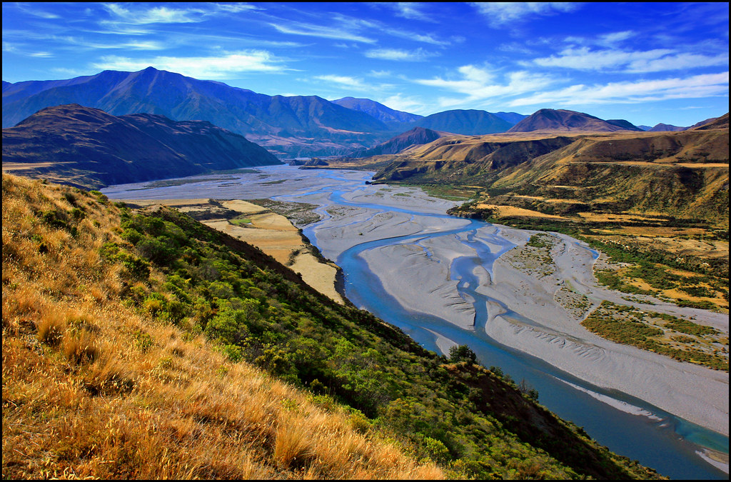
Waimakariri ribbons

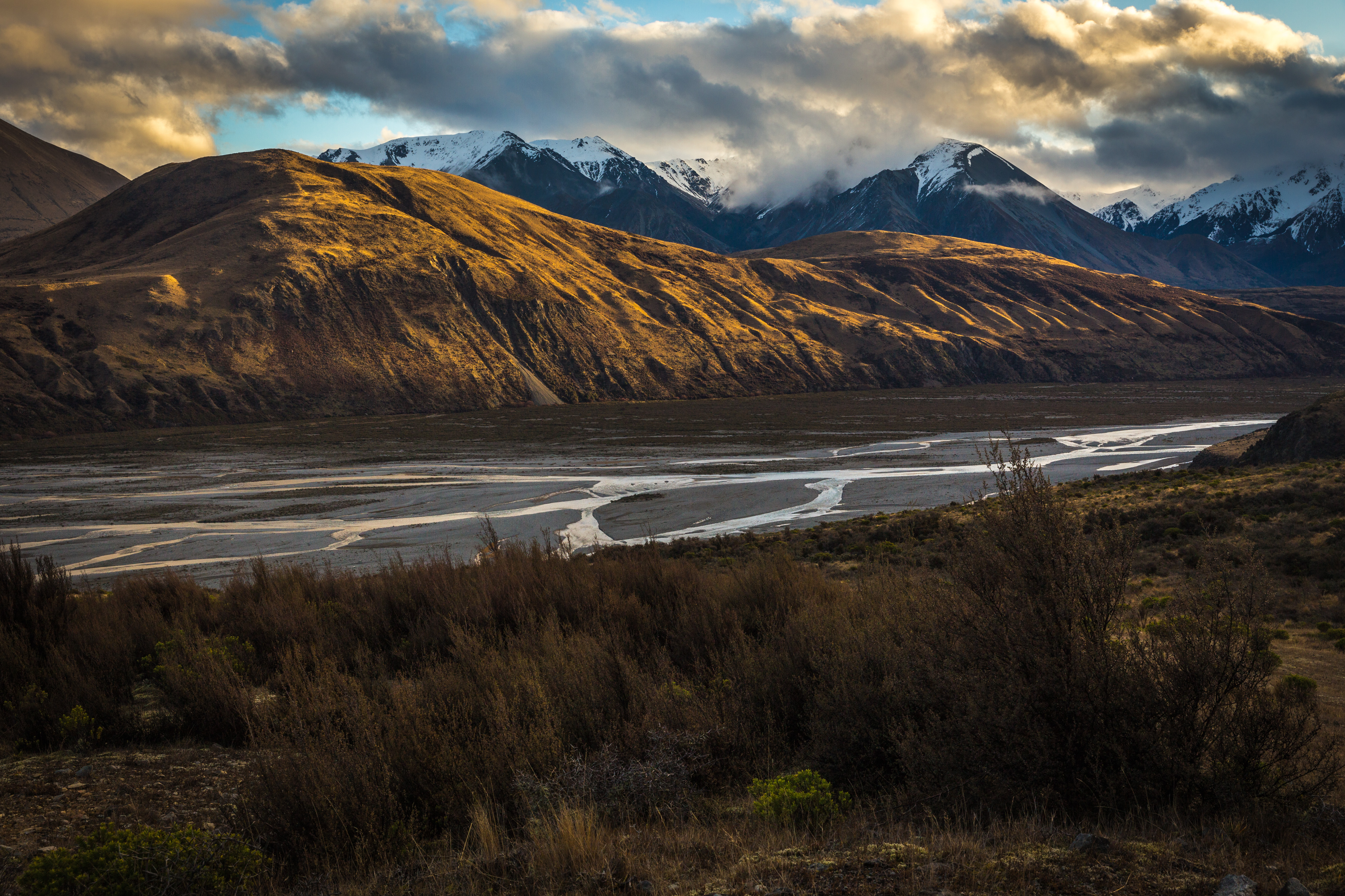
Aqua valley
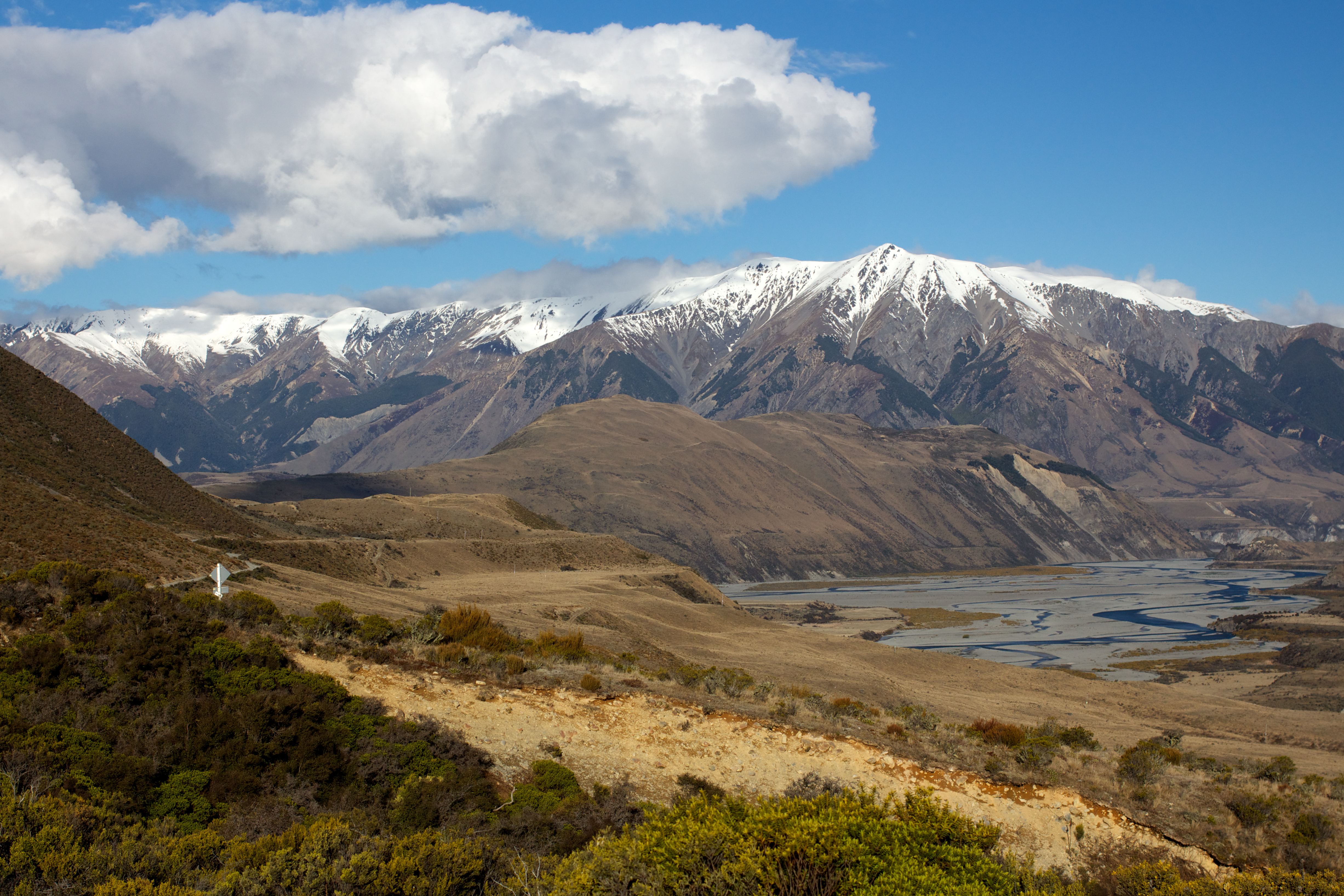
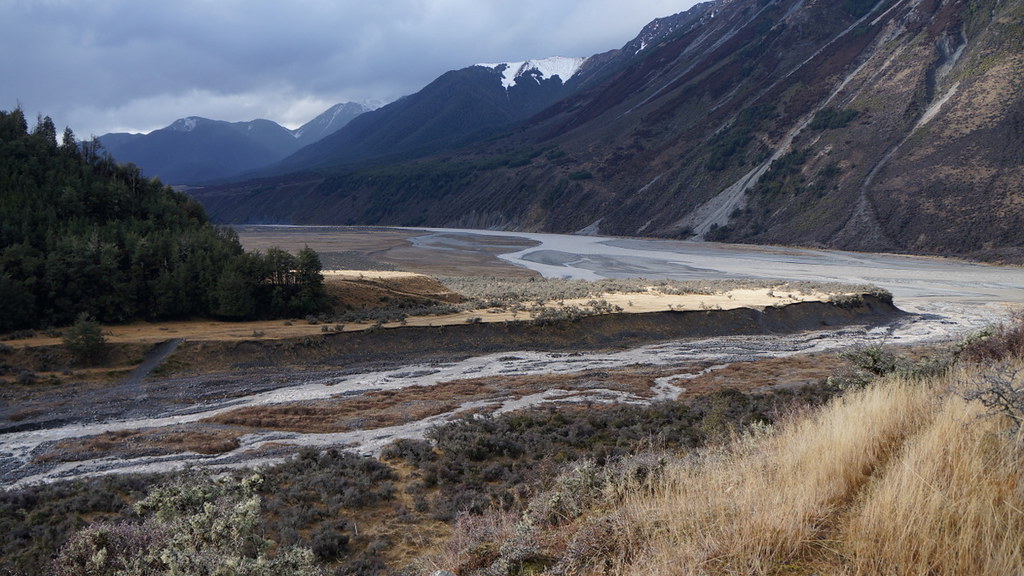
High Country New Zealand

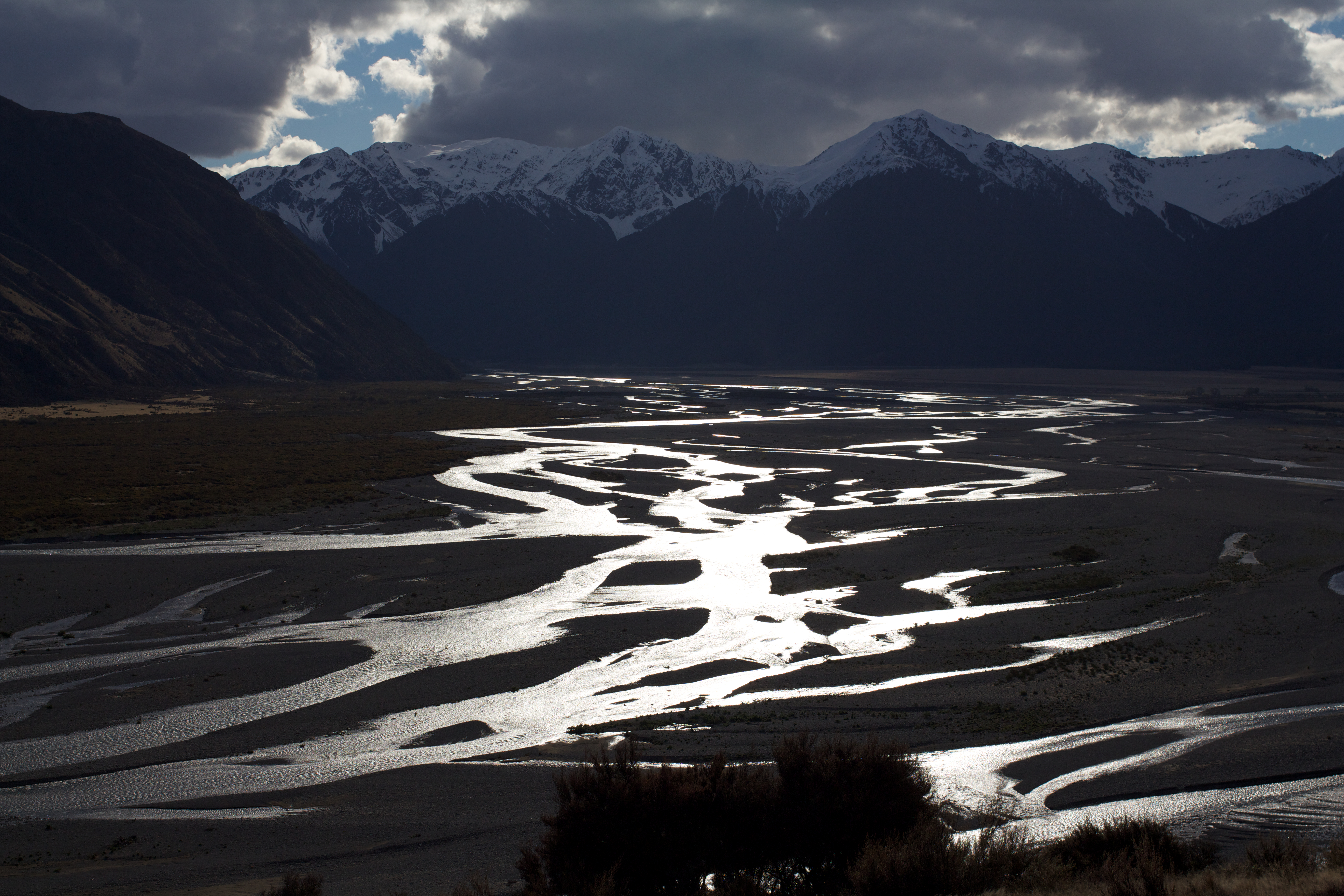
Arthur's Pass

eric looking smiley
way down the gravel road
snakey river
pete's stream

Flying out of Christchurch II

Azure canyon

Sit Rep
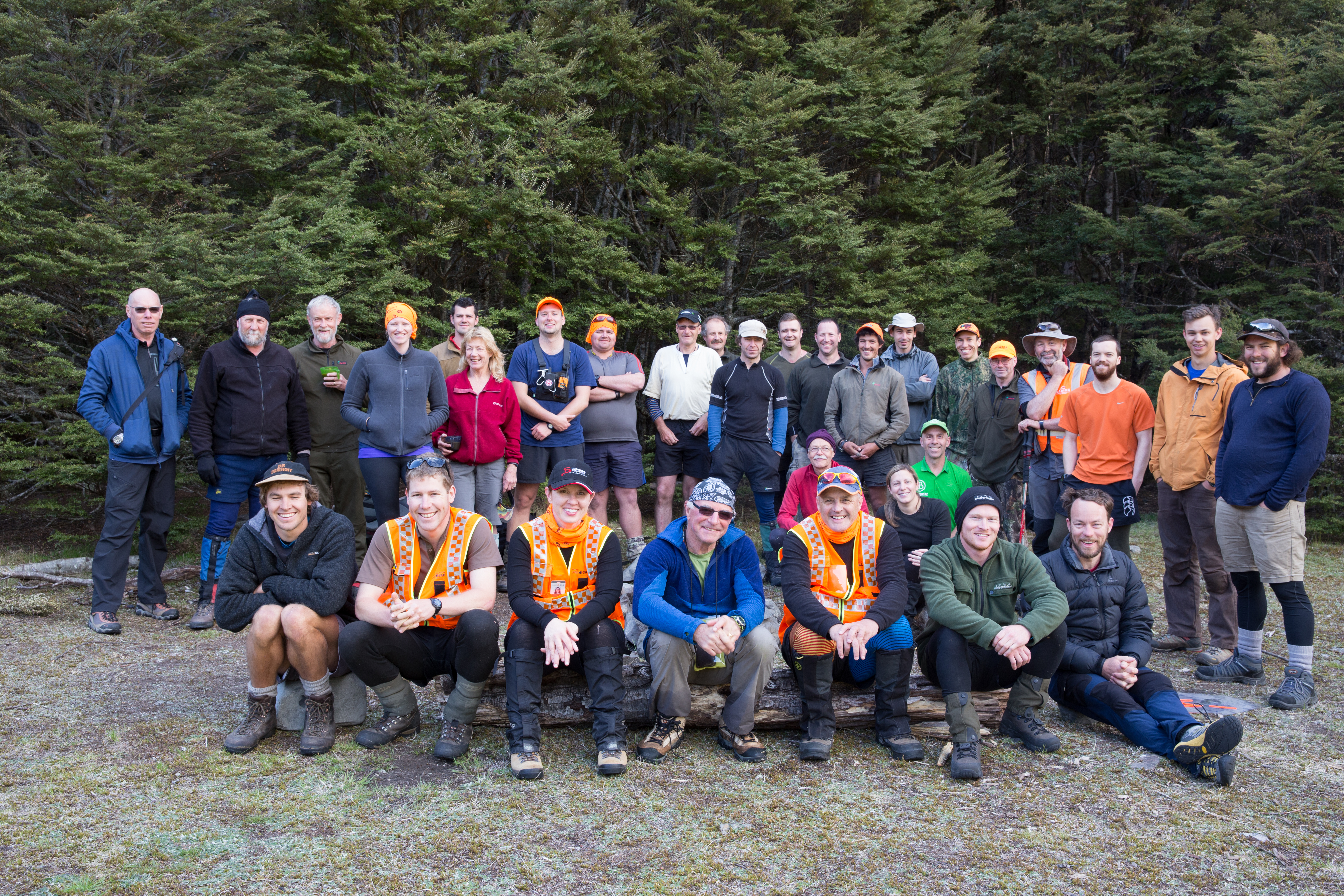
LandSAR team and Me

The Gurus

Knowledge Sharing
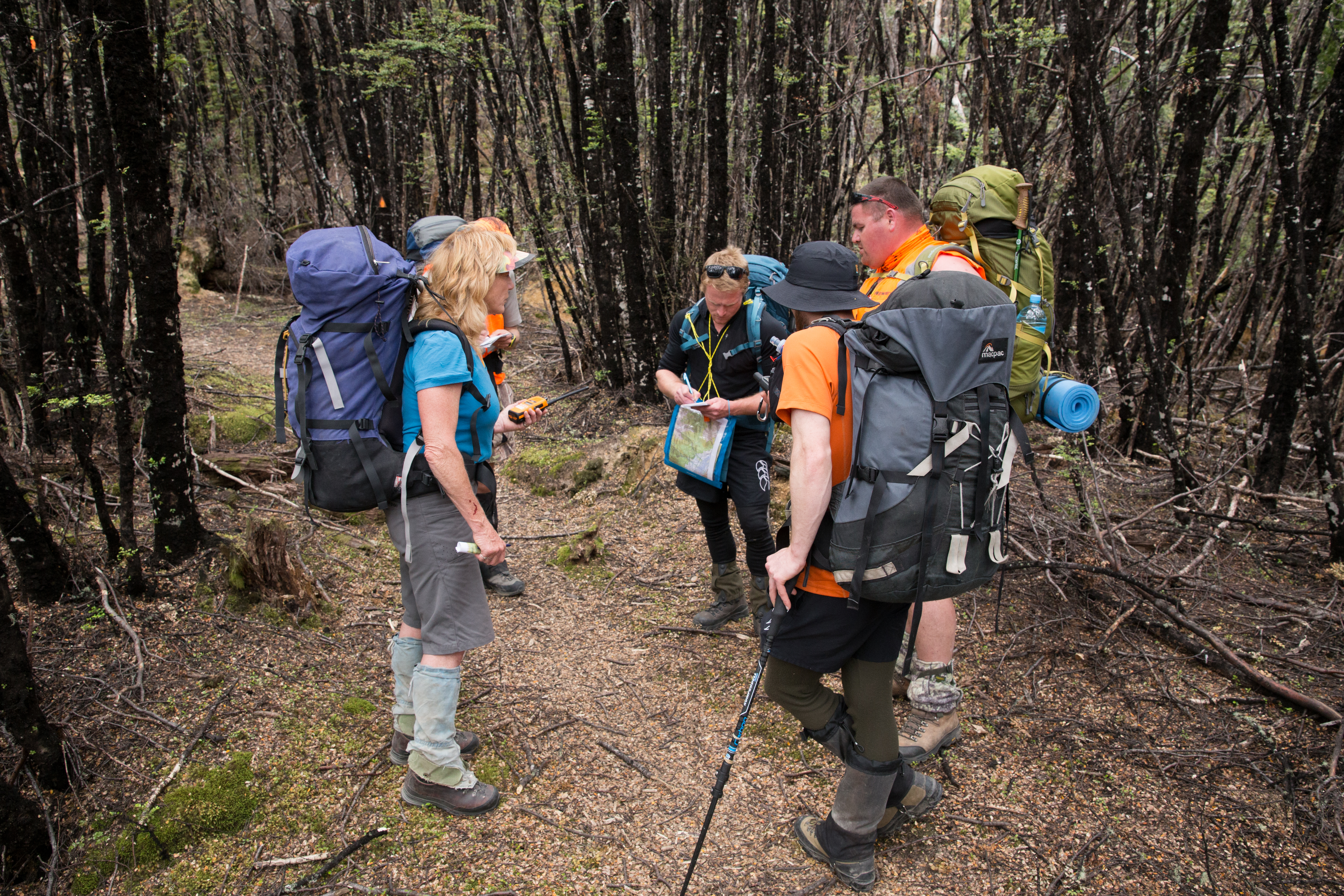
Land SAR excerise

Best day

The Southern Alps
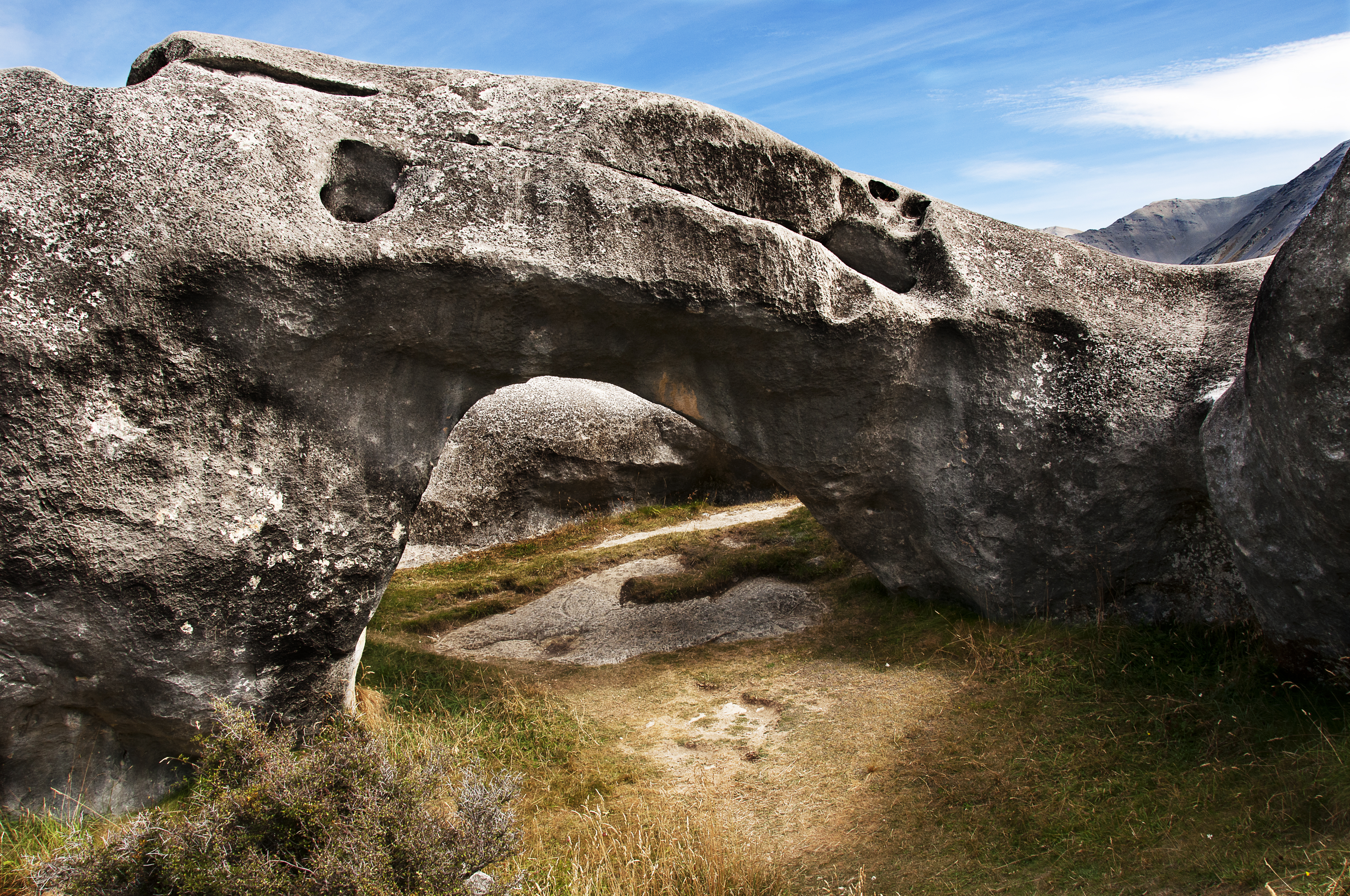
Casttle Hill
gather on valiant
watching clouds
Gray Hill, Canterbury 紐西蘭的地圖
搜索其他地方的日出日落時間
附近地點
Mount Binser, Canterbury 紐西蘭
Mount Turnbull, Canterbury 紐西蘭
紐西蘭坎特伯里亞瑟隘口國家公園
Waimakariri River, Canterbury, 紐西蘭
Lees Valley 紐西蘭
Lake Taylor, Canterbury 新西蘭
Bealey, 紐西蘭
Castle Hill, 紐西蘭
7 Torlesse Pl, Castle Hill 新西蘭
Castle Hill Peak, Canterbury 紐西蘭
Selwyn District, Canterbury, 紐西蘭
View Hill 紐西蘭
紐西蘭坎特伯雷Springfield
新西蘭斯普林菲尔德
紐西蘭牛津
Otira 紐西蘭
Mount Longfellow, Canterbury 紐西蘭
Mount Alexander, West Coast 紐西蘭
Lake Lyndon, Canterbury 新西蘭
Mount Enys, Canterbury 紐西蘭
最近搜索
- Japan, 〒- Toyama, Kubomotomachi, 12−31 APAガーデンコート稲荷的日出日落時間表
- 台灣宜蘭縣大同鄉加羅湖的日出日落時間表
- 日本〒- 愛媛縣今治市 Sekizenoge大下港的日出日落時間表
- -1 Sekizenōge, Imabari, Ehime -日本Oge port Ferry Terminal的日出日落時間表
- 阿根廷布宜諾斯艾利斯聖特爾莫區的日出日落時間表
- Congressional Dr, Stevensville, MD 美國的日出日落時間表
- Papingo 04希臘的日出日落時間表
- Kranto 7-oji g. 8"N, Kaunas, 立陶宛Pagonija rock的日出日落時間表
- Co Rd 87, Jamestown, CO 美國的日出日落時間表
- 哥倫比亞昆迪納馬卡省滕霍的日出日落時間表