Fishhawk Bay Rd, Central Kootenay A, BC V0B加拿大Fishhawk Bay Road的日出日落時間表
Location: 加拿大 > 英屬哥倫比亞 > 中庫特奈地區 > 加拿大 > BC V0B加拿大 >
時區:
America/Creston
當地時間:
2024-05-05 12:24:31
經度:
-116.8291373
緯度:
49.6593824
今天日出時間:
05:14:11 AM
今天日落時間:
08:13:33 PM
今天日照時長:
14h 59m 22s
明天日出時間:
05:12:36 AM
明天日落時間:
08:15:02 PM
明天日照時長:
15h 2m 26s
顯示所有日期
| 日期 | 日出 | 日落 | 日照時長 |
|---|---|---|---|
| 2024年01月01日 | 08:44:03 AM | 04:58:17 PM | 8h 14m 14s |
| 2024年01月02日 | 08:43:56 AM | 04:59:19 PM | 8h 15m 23s |
| 2024年01月03日 | 08:43:46 AM | 05:00:24 PM | 8h 16m 38s |
| 2024年01月04日 | 08:43:33 AM | 05:01:32 PM | 8h 17m 59s |
| 2024年01月05日 | 08:43:17 AM | 05:02:41 PM | 8h 19m 24s |
| 2024年01月06日 | 08:42:57 AM | 05:03:53 PM | 8h 20m 56s |
| 2024年01月07日 | 08:42:35 AM | 05:05:07 PM | 8h 22m 32s |
| 2024年01月08日 | 08:42:09 AM | 05:06:22 PM | 8h 24m 13s |
| 2024年01月09日 | 08:41:41 AM | 05:07:40 PM | 8h 25m 59s |
| 2024年01月10日 | 08:41:10 AM | 05:08:59 PM | 8h 27m 49s |
| 2024年01月11日 | 08:40:36 AM | 05:10:21 PM | 8h 29m 45s |
| 2024年01月12日 | 08:39:58 AM | 05:11:44 PM | 8h 31m 46s |
| 2024年01月13日 | 08:39:18 AM | 05:13:08 PM | 8h 33m 50s |
| 2024年01月14日 | 08:38:36 AM | 05:14:34 PM | 8h 35m 58s |
| 2024年01月15日 | 08:37:50 AM | 05:16:01 PM | 8h 38m 11s |
| 2024年01月16日 | 08:37:02 AM | 05:17:30 PM | 8h 40m 28s |
| 2024年01月17日 | 08:36:11 AM | 05:19:00 PM | 8h 42m 49s |
| 2024年01月18日 | 08:35:17 AM | 05:20:32 PM | 8h 45m 15s |
| 2024年01月19日 | 08:34:21 AM | 05:22:04 PM | 8h 47m 43s |
| 2024年01月20日 | 08:33:22 AM | 05:23:37 PM | 8h 50m 15s |
| 2024年01月21日 | 08:32:21 AM | 05:25:12 PM | 8h 52m 51s |
| 2024年01月22日 | 08:31:17 AM | 05:26:47 PM | 8h 55m 30s |
| 2024年01月23日 | 08:30:11 AM | 05:28:24 PM | 8h 58m 13s |
| 2024年01月24日 | 08:29:02 AM | 05:30:01 PM | 9h 0m 59s |
| 2024年01月25日 | 08:27:52 AM | 05:31:38 PM | 9h 3m 46s |
| 2024年01月26日 | 08:26:38 AM | 05:33:17 PM | 9h 6m 39s |
| 2024年01月27日 | 08:25:23 AM | 05:34:56 PM | 9h 9m 33s |
| 2024年01月28日 | 08:24:06 AM | 05:36:35 PM | 9h 12m 29s |
| 2024年01月29日 | 08:22:46 AM | 05:38:15 PM | 9h 15m 29s |
| 2024年01月30日 | 08:21:24 AM | 05:39:56 PM | 9h 18m 32s |
| 2024年01月31日 | 08:20:01 AM | 05:41:37 PM | 9h 21m 36s |
| 2024年02月01日 | 08:18:35 AM | 05:43:18 PM | 9h 24m 43s |
| 2024年02月02日 | 08:17:08 AM | 05:44:59 PM | 9h 27m 51s |
| 2024年02月03日 | 08:15:38 AM | 05:46:41 PM | 9h 31m 3s |
| 2024年02月04日 | 08:14:07 AM | 05:48:23 PM | 9h 34m 16s |
| 2024年02月05日 | 08:12:34 AM | 05:50:05 PM | 9h 37m 31s |
| 2024年02月06日 | 08:10:59 AM | 05:51:47 PM | 9h 40m 48s |
| 2024年02月07日 | 08:09:23 AM | 05:53:29 PM | 9h 44m 6s |
| 2024年02月08日 | 08:07:45 AM | 05:55:12 PM | 9h 47m 27s |
| 2024年02月09日 | 08:06:06 AM | 05:56:54 PM | 9h 50m 48s |
| 2024年02月10日 | 08:04:25 AM | 05:58:36 PM | 9h 54m 11s |
| 2024年02月11日 | 08:02:42 AM | 06:00:18 PM | 9h 57m 36s |
| 2024年02月12日 | 08:00:58 AM | 06:02:00 PM | 10h 1m 2s |
| 2024年02月13日 | 07:59:13 AM | 06:03:42 PM | 10h 4m 29s |
| 2024年02月14日 | 07:57:26 AM | 06:05:24 PM | 10h 7m 58s |
| 2024年02月15日 | 07:55:38 AM | 06:07:06 PM | 10h 11m 28s |
| 2024年02月16日 | 07:53:49 AM | 06:08:47 PM | 10h 14m 58s |
| 2024年02月17日 | 07:51:59 AM | 06:10:29 PM | 10h 18m 30s |
| 2024年02月18日 | 07:50:07 AM | 06:12:10 PM | 10h 22m 3s |
| 2024年02月19日 | 07:48:14 AM | 06:13:51 PM | 10h 25m 37s |
| 2024年02月20日 | 07:46:20 AM | 06:15:32 PM | 10h 29m 12s |
| 2024年02月21日 | 07:44:26 AM | 06:17:12 PM | 10h 32m 46s |
| 2024年02月22日 | 07:42:30 AM | 06:18:52 PM | 10h 36m 22s |
| 2024年02月23日 | 07:40:33 AM | 06:20:32 PM | 10h 39m 59s |
| 2024年02月24日 | 07:38:35 AM | 06:22:12 PM | 10h 43m 37s |
| 2024年02月25日 | 07:36:36 AM | 06:23:51 PM | 10h 47m 15s |
| 2024年02月26日 | 07:34:37 AM | 06:25:30 PM | 10h 50m 53s |
| 2024年02月27日 | 07:32:37 AM | 06:27:09 PM | 10h 54m 32s |
| 2024年02月28日 | 07:30:36 AM | 06:28:48 PM | 10h 58m 12s |
| 2024年02月29日 | 07:28:34 AM | 06:30:26 PM | 11h 1m 52s |
| 2024年03月01日 | 07:26:31 AM | 06:32:04 PM | 11h 5m 33s |
| 2024年03月02日 | 07:24:28 AM | 06:33:42 PM | 11h 9m 14s |
| 2024年03月03日 | 07:22:24 AM | 06:35:19 PM | 11h 12m 55s |
| 2024年03月04日 | 07:20:20 AM | 06:36:56 PM | 11h 16m 36s |
| 2024年03月05日 | 07:18:15 AM | 06:38:33 PM | 11h 20m 18s |
| 2024年03月06日 | 07:16:09 AM | 06:40:10 PM | 11h 24m 1s |
| 2024年03月07日 | 07:14:03 AM | 06:41:46 PM | 11h 27m 43s |
| 2024年03月08日 | 07:11:57 AM | 06:43:23 PM | 11h 31m 26s |
| 2024年03月09日 | 07:09:50 AM | 06:44:58 PM | 11h 35m 8s |
| 2024年03月10日 | 07:07:43 AM | 06:46:34 PM | 11h 38m 51s |
| 2024年03月11日 | 07:05:35 AM | 06:48:10 PM | 11h 42m 35s |
| 2024年03月12日 | 07:03:27 AM | 06:49:45 PM | 11h 46m 18s |
| 2024年03月13日 | 07:01:19 AM | 06:51:20 PM | 11h 50m 1s |
| 2024年03月14日 | 06:59:10 AM | 06:52:55 PM | 11h 53m 45s |
| 2024年03月15日 | 06:57:01 AM | 06:54:29 PM | 11h 57m 28s |
| 2024年03月16日 | 06:54:52 AM | 06:56:04 PM | 12h 1m 12s |
| 2024年03月17日 | 06:52:43 AM | 06:57:38 PM | 12h 4m 55s |
| 2024年03月18日 | 06:50:34 AM | 06:59:12 PM | 12h 8m 38s |
| 2024年03月19日 | 06:48:24 AM | 07:00:46 PM | 12h 12m 22s |
| 2024年03月20日 | 06:46:15 AM | 07:02:20 PM | 12h 16m 5s |
| 2024年03月21日 | 06:44:05 AM | 07:03:53 PM | 12h 19m 48s |
| 2024年03月22日 | 06:41:56 AM | 07:05:27 PM | 12h 23m 31s |
| 2024年03月23日 | 06:39:46 AM | 07:07:00 PM | 12h 27m 14s |
| 2024年03月24日 | 06:37:37 AM | 07:08:34 PM | 12h 30m 57s |
| 2024年03月25日 | 06:35:27 AM | 07:10:07 PM | 12h 34m 40s |
| 2024年03月26日 | 06:33:18 AM | 07:11:40 PM | 12h 38m 22s |
| 2024年03月27日 | 06:31:09 AM | 07:13:13 PM | 12h 42m 4s |
| 2024年03月28日 | 06:29:00 AM | 07:14:46 PM | 12h 45m 46s |
| 2024年03月29日 | 06:26:51 AM | 07:16:19 PM | 12h 49m 28s |
| 2024年03月30日 | 06:24:42 AM | 07:17:52 PM | 12h 53m 10s |
| 2024年03月31日 | 06:22:34 AM | 07:19:25 PM | 12h 56m 51s |
| 2024年04月01日 | 06:20:26 AM | 07:20:58 PM | 13h 0m 32s |
| 2024年04月02日 | 06:18:18 AM | 07:22:30 PM | 13h 4m 12s |
| 2024年04月03日 | 06:16:11 AM | 07:24:03 PM | 13h 7m 52s |
| 2024年04月04日 | 06:14:04 AM | 07:25:36 PM | 13h 11m 32s |
| 2024年04月05日 | 06:11:57 AM | 07:27:08 PM | 13h 15m 11s |
| 2024年04月06日 | 06:09:51 AM | 07:28:41 PM | 13h 18m 50s |
| 2024年04月07日 | 06:07:45 AM | 07:30:14 PM | 13h 22m 29s |
| 2024年04月08日 | 06:05:40 AM | 07:31:46 PM | 13h 26m 6s |
| 2024年04月09日 | 06:03:36 AM | 07:33:19 PM | 13h 29m 43s |
| 2024年04月10日 | 06:01:32 AM | 07:34:52 PM | 13h 33m 20s |
| 2024年04月11日 | 05:59:28 AM | 07:36:24 PM | 13h 36m 56s |
| 2024年04月12日 | 05:57:25 AM | 07:37:57 PM | 13h 40m 32s |
| 2024年04月13日 | 05:55:23 AM | 07:39:29 PM | 13h 44m 6s |
| 2024年04月14日 | 05:53:22 AM | 07:41:02 PM | 13h 47m 40s |
| 2024年04月15日 | 05:51:21 AM | 07:42:34 PM | 13h 51m 13s |
| 2024年04月16日 | 05:49:22 AM | 07:44:07 PM | 13h 54m 45s |
| 2024年04月17日 | 05:47:23 AM | 07:45:39 PM | 13h 58m 16s |
| 2024年04月18日 | 05:45:25 AM | 07:47:12 PM | 14h 1m 47s |
| 2024年04月19日 | 05:43:27 AM | 07:48:44 PM | 14h 5m 17s |
| 2024年04月20日 | 05:41:31 AM | 07:50:16 PM | 14h 8m 45s |
| 2024年04月21日 | 05:39:36 AM | 07:51:49 PM | 14h 12m 13s |
| 2024年04月22日 | 05:37:42 AM | 07:53:21 PM | 14h 15m 39s |
| 2024年04月23日 | 05:35:49 AM | 07:54:53 PM | 14h 19m 4s |
| 2024年04月24日 | 05:33:56 AM | 07:56:25 PM | 14h 22m 29s |
| 2024年04月25日 | 05:32:05 AM | 07:57:56 PM | 14h 25m 51s |
| 2024年04月26日 | 05:30:16 AM | 07:59:28 PM | 14h 29m 12s |
| 2024年04月27日 | 05:28:27 AM | 08:00:59 PM | 14h 32m 32s |
| 2024年04月28日 | 05:26:40 AM | 08:02:30 PM | 14h 35m 50s |
| 2024年04月29日 | 05:24:54 AM | 08:04:01 PM | 14h 39m 7s |
| 2024年04月30日 | 05:23:09 AM | 08:05:32 PM | 14h 42m 23s |
| 2024年05月01日 | 05:21:26 AM | 08:07:02 PM | 14h 45m 36s |
| 2024年05月02日 | 05:19:44 AM | 08:08:32 PM | 14h 48m 48s |
| 2024年05月03日 | 05:18:03 AM | 08:10:02 PM | 14h 51m 59s |
| 2024年05月04日 | 05:16:24 AM | 08:11:31 PM | 14h 55m 7s |
| 2024年05月05日 | 05:14:47 AM | 08:13:00 PM | 14h 58m 13s |
| 2024年05月06日 | 05:13:11 AM | 08:14:29 PM | 15h 1m 18s |
| 2024年05月07日 | 05:11:37 AM | 08:15:57 PM | 15h 4m 20s |
| 2024年05月08日 | 05:10:05 AM | 08:17:24 PM | 15h 7m 19s |
| 2024年05月09日 | 05:08:34 AM | 08:18:51 PM | 15h 10m 17s |
| 2024年05月10日 | 05:07:05 AM | 08:20:17 PM | 15h 13m 12s |
| 2024年05月11日 | 05:05:38 AM | 08:21:42 PM | 15h 16m 4s |
| 2024年05月12日 | 05:04:13 AM | 08:23:07 PM | 15h 18m 54s |
| 2024年05月13日 | 05:02:49 AM | 08:24:31 PM | 15h 21m 42s |
| 2024年05月14日 | 05:01:28 AM | 08:25:54 PM | 15h 24m 26s |
| 2024年05月15日 | 05:00:08 AM | 08:27:16 PM | 15h 27m 8s |
| 2024年05月16日 | 04:58:51 AM | 08:28:38 PM | 15h 29m 47s |
| 2024年05月17日 | 04:57:36 AM | 08:29:58 PM | 15h 32m 22s |
| 2024年05月18日 | 04:56:23 AM | 08:31:17 PM | 15h 34m 54s |
| 2024年05月19日 | 04:55:12 AM | 08:32:36 PM | 15h 37m 24s |
| 2024年05月20日 | 04:54:03 AM | 08:33:53 PM | 15h 39m 50s |
| 2024年05月21日 | 04:52:56 AM | 08:35:09 PM | 15h 42m 13s |
| 2024年05月22日 | 04:51:52 AM | 08:36:23 PM | 15h 44m 31s |
| 2024年05月23日 | 04:50:50 AM | 08:37:37 PM | 15h 46m 47s |
| 2024年05月24日 | 04:49:51 AM | 08:38:48 PM | 15h 48m 57s |
| 2024年05月25日 | 04:48:54 AM | 08:39:59 PM | 15h 51m 5s |
| 2024年05月26日 | 04:47:59 AM | 08:41:08 PM | 15h 53m 9s |
| 2024年05月27日 | 04:47:07 AM | 08:42:15 PM | 15h 55m 8s |
| 2024年05月28日 | 04:46:18 AM | 08:43:21 PM | 15h 57m 3s |
| 2024年05月29日 | 04:45:31 AM | 08:44:25 PM | 15h 58m 54s |
| 2024年05月30日 | 04:44:46 AM | 08:45:27 PM | 16h 0m 41s |
| 2024年05月31日 | 04:44:04 AM | 08:46:27 PM | 16h 2m 23s |
| 2024年06月01日 | 04:43:25 AM | 08:47:26 PM | 16h 4m 1s |
| 2024年06月02日 | 04:42:49 AM | 08:48:22 PM | 16h 5m 33s |
| 2024年06月03日 | 04:42:15 AM | 08:49:17 PM | 16h 7m 2s |
| 2024年06月04日 | 04:41:44 AM | 08:50:09 PM | 16h 8m 25s |
| 2024年06月05日 | 04:41:16 AM | 08:50:59 PM | 16h 9m 43s |
| 2024年06月06日 | 04:40:51 AM | 08:51:47 PM | 16h 10m 56s |
| 2024年06月07日 | 04:40:28 AM | 08:52:33 PM | 16h 12m 5s |
| 2024年06月08日 | 04:40:08 AM | 08:53:17 PM | 16h 13m 9s |
| 2024年06月09日 | 04:39:51 AM | 08:53:58 PM | 16h 14m 7s |
| 2024年06月10日 | 04:39:37 AM | 08:54:37 PM | 16h 15m 0s |
| 2024年06月11日 | 04:39:26 AM | 08:55:13 PM | 16h 15m 47s |
| 2024年06月12日 | 04:39:17 AM | 08:55:47 PM | 16h 16m 30s |
| 2024年06月13日 | 04:39:11 AM | 08:56:18 PM | 16h 17m 7s |
| 2024年06月14日 | 04:39:08 AM | 08:56:47 PM | 16h 17m 39s |
| 2024年06月15日 | 04:39:08 AM | 08:57:13 PM | 16h 18m 5s |
| 2024年06月16日 | 04:39:11 AM | 08:57:36 PM | 16h 18m 25s |
| 2024年06月17日 | 04:39:17 AM | 08:57:56 PM | 16h 18m 39s |
| 2024年06月18日 | 04:39:25 AM | 08:58:14 PM | 16h 18m 49s |
| 2024年06月19日 | 04:39:36 AM | 08:58:30 PM | 16h 18m 54s |
| 2024年06月20日 | 04:39:50 AM | 08:58:42 PM | 16h 18m 52s |
| 2024年06月21日 | 04:40:06 AM | 08:58:51 PM | 16h 18m 45s |
| 2024年06月22日 | 04:40:25 AM | 08:58:58 PM | 16h 18m 33s |
| 2024年06月23日 | 04:40:47 AM | 08:59:02 PM | 16h 18m 15s |
| 2024年06月24日 | 04:41:12 AM | 08:59:03 PM | 16h 17m 51s |
| 2024年06月25日 | 04:41:38 AM | 08:59:01 PM | 16h 17m 23s |
| 2024年06月26日 | 04:42:08 AM | 08:58:56 PM | 16h 16m 48s |
| 2024年06月27日 | 04:42:40 AM | 08:58:49 PM | 16h 16m 9s |
| 2024年06月28日 | 04:43:14 AM | 08:58:38 PM | 16h 15m 24s |
| 2024年06月29日 | 04:43:51 AM | 08:58:25 PM | 16h 14m 34s |
| 2024年06月30日 | 04:44:31 AM | 08:58:09 PM | 16h 13m 38s |
| 2024年07月01日 | 04:45:12 AM | 08:57:50 PM | 16h 12m 38s |
| 2024年07月02日 | 04:45:56 AM | 08:57:28 PM | 16h 11m 32s |
| 2024年07月03日 | 04:46:42 AM | 08:57:03 PM | 16h 10m 21s |
| 2024年07月04日 | 04:47:30 AM | 08:56:36 PM | 16h 9m 6s |
| 2024年07月05日 | 04:48:20 AM | 08:56:05 PM | 16h 7m 45s |
| 2024年07月06日 | 04:49:12 AM | 08:55:32 PM | 16h 6m 20s |
| 2024年07月07日 | 04:50:06 AM | 08:54:56 PM | 16h 4m 50s |
| 2024年07月08日 | 04:51:03 AM | 08:54:18 PM | 16h 3m 15s |
| 2024年07月09日 | 04:52:00 AM | 08:53:36 PM | 16h 1m 36s |
| 2024年07月10日 | 04:53:00 AM | 08:52:52 PM | 15h 59m 52s |
| 2024年07月11日 | 04:54:01 AM | 08:52:06 PM | 15h 58m 5s |
| 2024年07月12日 | 04:55:05 AM | 08:51:17 PM | 15h 56m 12s |
| 2024年07月13日 | 04:56:09 AM | 08:50:25 PM | 15h 54m 16s |
| 2024年07月14日 | 04:57:15 AM | 08:49:30 PM | 15h 52m 15s |
| 2024年07月15日 | 04:58:23 AM | 08:48:34 PM | 15h 50m 11s |
| 2024年07月16日 | 04:59:32 AM | 08:47:34 PM | 15h 48m 2s |
| 2024年07月17日 | 05:00:42 AM | 08:46:33 PM | 15h 45m 51s |
| 2024年07月18日 | 05:01:54 AM | 08:45:29 PM | 15h 43m 35s |
| 2024年07月19日 | 05:03:07 AM | 08:44:22 PM | 15h 41m 15s |
| 2024年07月20日 | 05:04:21 AM | 08:43:14 PM | 15h 38m 53s |
| 2024年07月21日 | 05:05:36 AM | 08:42:03 PM | 15h 36m 27s |
| 2024年07月22日 | 05:06:52 AM | 08:40:50 PM | 15h 33m 58s |
| 2024年07月23日 | 05:08:09 AM | 08:39:34 PM | 15h 31m 25s |
| 2024年07月24日 | 05:09:27 AM | 08:38:17 PM | 15h 28m 50s |
| 2024年07月25日 | 05:10:46 AM | 08:36:57 PM | 15h 26m 11s |
| 2024年07月26日 | 05:12:06 AM | 08:35:36 PM | 15h 23m 30s |
| 2024年07月27日 | 05:13:27 AM | 08:34:12 PM | 15h 20m 45s |
| 2024年07月28日 | 05:14:48 AM | 08:32:47 PM | 15h 17m 59s |
| 2024年07月29日 | 05:16:10 AM | 08:31:20 PM | 15h 15m 10s |
| 2024年07月30日 | 05:17:32 AM | 08:29:51 PM | 15h 12m 19s |
| 2024年07月31日 | 05:18:56 AM | 08:28:20 PM | 15h 9m 24s |
| 2024年08月01日 | 05:20:19 AM | 08:26:47 PM | 15h 6m 28s |
| 2024年08月02日 | 05:21:44 AM | 08:25:12 PM | 15h 3m 28s |
| 2024年08月03日 | 05:23:08 AM | 08:23:36 PM | 15h 0m 28s |
| 2024年08月04日 | 05:24:33 AM | 08:21:59 PM | 14h 57m 26s |
| 2024年08月05日 | 05:25:59 AM | 08:20:19 PM | 14h 54m 20s |
| 2024年08月06日 | 05:27:25 AM | 08:18:39 PM | 14h 51m 14s |
| 2024年08月07日 | 05:28:51 AM | 08:16:56 PM | 14h 48m 5s |
| 2024年08月08日 | 05:30:17 AM | 08:15:13 PM | 14h 44m 56s |
| 2024年08月09日 | 05:31:44 AM | 08:13:27 PM | 14h 41m 43s |
| 2024年08月10日 | 05:33:11 AM | 08:11:41 PM | 14h 38m 30s |
| 2024年08月11日 | 05:34:38 AM | 08:09:53 PM | 14h 35m 15s |
| 2024年08月12日 | 05:36:05 AM | 08:08:04 PM | 14h 31m 59s |
| 2024年08月13日 | 05:37:32 AM | 08:06:14 PM | 14h 28m 42s |
| 2024年08月14日 | 05:39:00 AM | 08:04:22 PM | 14h 25m 22s |
| 2024年08月15日 | 05:40:28 AM | 08:02:29 PM | 14h 22m 1s |
| 2024年08月16日 | 05:41:55 AM | 08:00:36 PM | 14h 18m 41s |
| 2024年08月17日 | 05:43:23 AM | 07:58:41 PM | 14h 15m 18s |
| 2024年08月18日 | 05:44:51 AM | 07:56:45 PM | 14h 11m 54s |
| 2024年08月19日 | 05:46:19 AM | 07:54:48 PM | 14h 8m 29s |
| 2024年08月20日 | 05:47:47 AM | 07:52:50 PM | 14h 5m 3s |
| 2024年08月21日 | 05:49:15 AM | 07:50:51 PM | 14h 1m 36s |
| 2024年08月22日 | 05:50:43 AM | 07:48:51 PM | 13h 58m 8s |
| 2024年08月23日 | 05:52:11 AM | 07:46:51 PM | 13h 54m 40s |
| 2024年08月24日 | 05:53:39 AM | 07:44:50 PM | 13h 51m 11s |
| 2024年08月25日 | 05:55:07 AM | 07:42:47 PM | 13h 47m 40s |
| 2024年08月26日 | 05:56:35 AM | 07:40:44 PM | 13h 44m 9s |
| 2024年08月27日 | 05:58:03 AM | 07:38:41 PM | 13h 40m 38s |
| 2024年08月28日 | 05:59:31 AM | 07:36:36 PM | 13h 37m 5s |
| 2024年08月29日 | 06:00:59 AM | 07:34:32 PM | 13h 33m 33s |
| 2024年08月30日 | 06:02:27 AM | 07:32:26 PM | 13h 29m 59s |
| 2024年08月31日 | 06:03:54 AM | 07:30:20 PM | 13h 26m 26s |
| 2024年09月01日 | 06:05:22 AM | 07:28:13 PM | 13h 22m 51s |
| 2024年09月02日 | 06:06:50 AM | 07:26:06 PM | 13h 19m 16s |
| 2024年09月03日 | 06:08:18 AM | 07:23:58 PM | 13h 15m 40s |
| 2024年09月04日 | 06:09:46 AM | 07:21:50 PM | 13h 12m 4s |
| 2024年09月05日 | 06:11:14 AM | 07:19:41 PM | 13h 8m 27s |
| 2024年09月06日 | 06:12:41 AM | 07:17:33 PM | 13h 4m 52s |
| 2024年09月07日 | 06:14:09 AM | 07:15:23 PM | 13h 1m 14s |
| 2024年09月08日 | 06:15:37 AM | 07:13:14 PM | 12h 57m 37s |
| 2024年09月09日 | 06:17:05 AM | 07:11:04 PM | 12h 53m 59s |
| 2024年09月10日 | 06:18:33 AM | 07:08:53 PM | 12h 50m 20s |
| 2024年09月11日 | 06:20:01 AM | 07:06:43 PM | 12h 46m 42s |
| 2024年09月12日 | 06:21:29 AM | 07:04:32 PM | 12h 43m 3s |
| 2024年09月13日 | 06:22:57 AM | 07:02:22 PM | 12h 39m 25s |
| 2024年09月14日 | 06:24:25 AM | 07:00:11 PM | 12h 35m 46s |
| 2024年09月15日 | 06:25:53 AM | 06:58:00 PM | 12h 32m 7s |
| 2024年09月16日 | 06:27:21 AM | 06:55:48 PM | 12h 28m 27s |
| 2024年09月17日 | 06:28:50 AM | 06:53:37 PM | 12h 24m 47s |
| 2024年09月18日 | 06:30:18 AM | 06:51:26 PM | 12h 21m 8s |
| 2024年09月19日 | 06:31:47 AM | 06:49:15 PM | 12h 17m 28s |
| 2024年09月20日 | 06:33:15 AM | 06:47:04 PM | 12h 13m 49s |
| 2024年09月21日 | 06:34:44 AM | 06:44:53 PM | 12h 10m 9s |
| 2024年09月22日 | 06:36:13 AM | 06:42:42 PM | 12h 6m 29s |
| 2024年09月23日 | 06:37:42 AM | 06:40:31 PM | 12h 2m 49s |
| 2024年09月24日 | 06:39:12 AM | 06:38:20 PM | 11h 59m 8s |
| 2024年09月25日 | 06:40:41 AM | 06:36:09 PM | 11h 55m 28s |
| 2024年09月26日 | 06:42:11 AM | 06:33:59 PM | 11h 51m 48s |
| 2024年09月27日 | 06:43:41 AM | 06:31:49 PM | 11h 48m 8s |
| 2024年09月28日 | 06:45:11 AM | 06:29:39 PM | 11h 44m 28s |
| 2024年09月29日 | 06:46:41 AM | 06:27:30 PM | 11h 40m 49s |
| 2024年09月30日 | 06:48:11 AM | 06:25:21 PM | 11h 37m 10s |
| 2024年10月01日 | 06:49:42 AM | 06:23:12 PM | 11h 33m 30s |
| 2024年10月02日 | 06:51:13 AM | 06:21:03 PM | 11h 29m 50s |
| 2024年10月03日 | 06:52:44 AM | 06:18:56 PM | 11h 26m 12s |
| 2024年10月04日 | 06:54:16 AM | 06:16:48 PM | 11h 22m 32s |
| 2024年10月05日 | 06:55:48 AM | 06:14:41 PM | 11h 18m 53s |
| 2024年10月06日 | 06:57:20 AM | 06:12:35 PM | 11h 15m 15s |
| 2024年10月07日 | 06:58:52 AM | 06:10:29 PM | 11h 11m 37s |
| 2024年10月08日 | 07:00:25 AM | 06:08:24 PM | 11h 7m 59s |
| 2024年10月09日 | 07:01:58 AM | 06:06:19 PM | 11h 4m 21s |
| 2024年10月10日 | 07:03:31 AM | 06:04:15 PM | 11h 0m 44s |
| 2024年10月11日 | 07:05:05 AM | 06:02:12 PM | 10h 57m 7s |
| 2024年10月12日 | 07:06:39 AM | 06:00:09 PM | 10h 53m 30s |
| 2024年10月13日 | 07:08:13 AM | 05:58:07 PM | 10h 49m 54s |
| 2024年10月14日 | 07:09:47 AM | 05:56:07 PM | 10h 46m 20s |
| 2024年10月15日 | 07:11:22 AM | 05:54:06 PM | 10h 42m 44s |
| 2024年10月16日 | 07:12:57 AM | 05:52:07 PM | 10h 39m 10s |
| 2024年10月17日 | 07:14:32 AM | 05:50:09 PM | 10h 35m 37s |
| 2024年10月18日 | 07:16:08 AM | 05:48:12 PM | 10h 32m 4s |
| 2024年10月19日 | 07:17:44 AM | 05:46:15 PM | 10h 28m 31s |
| 2024年10月20日 | 07:19:20 AM | 05:44:20 PM | 10h 25m 0s |
| 2024年10月21日 | 07:20:57 AM | 05:42:26 PM | 10h 21m 29s |
| 2024年10月22日 | 07:22:33 AM | 05:40:33 PM | 10h 18m 0s |
| 2024年10月23日 | 07:24:10 AM | 05:38:41 PM | 10h 14m 31s |
| 2024年10月24日 | 07:25:47 AM | 05:36:50 PM | 10h 11m 3s |
| 2024年10月25日 | 07:27:25 AM | 05:35:01 PM | 10h 7m 36s |
| 2024年10月26日 | 07:29:02 AM | 05:33:13 PM | 10h 4m 11s |
| 2024年10月27日 | 07:30:40 AM | 05:31:26 PM | 10h 0m 46s |
| 2024年10月28日 | 07:32:18 AM | 05:29:40 PM | 9h 57m 22s |
| 2024年10月29日 | 07:33:56 AM | 05:27:56 PM | 9h 54m 0s |
| 2024年10月30日 | 07:35:34 AM | 05:26:14 PM | 9h 50m 40s |
| 2024年10月31日 | 07:37:13 AM | 05:24:33 PM | 9h 47m 20s |
| 2024年11月01日 | 07:38:51 AM | 05:22:53 PM | 9h 44m 2s |
| 2024年11月02日 | 07:40:29 AM | 05:21:15 PM | 9h 40m 46s |
| 2024年11月03日 | 07:42:08 AM | 05:19:39 PM | 9h 37m 31s |
| 2024年11月04日 | 07:43:46 AM | 05:18:04 PM | 9h 34m 18s |
| 2024年11月05日 | 07:45:24 AM | 05:16:32 PM | 9h 31m 8s |
| 2024年11月06日 | 07:47:02 AM | 05:15:01 PM | 9h 27m 59s |
| 2024年11月07日 | 07:48:40 AM | 05:13:31 PM | 9h 24m 51s |
| 2024年11月08日 | 07:50:18 AM | 05:12:04 PM | 9h 21m 46s |
| 2024年11月09日 | 07:51:55 AM | 05:10:39 PM | 9h 18m 44s |
| 2024年11月10日 | 07:53:32 AM | 05:09:15 PM | 9h 15m 43s |
| 2024年11月11日 | 07:55:09 AM | 05:07:54 PM | 9h 12m 45s |
| 2024年11月12日 | 07:56:46 AM | 05:06:35 PM | 9h 9m 49s |
| 2024年11月13日 | 07:58:22 AM | 05:05:18 PM | 9h 6m 56s |
| 2024年11月14日 | 07:59:57 AM | 05:04:03 PM | 9h 4m 6s |
| 2024年11月15日 | 08:01:32 AM | 05:02:51 PM | 9h 1m 19s |
| 2024年11月16日 | 08:03:06 AM | 05:01:40 PM | 8h 58m 34s |
| 2024年11月17日 | 08:04:40 AM | 05:00:32 PM | 8h 55m 52s |
| 2024年11月18日 | 08:06:13 AM | 04:59:27 PM | 8h 53m 14s |
| 2024年11月19日 | 08:07:45 AM | 04:58:24 PM | 8h 50m 39s |
| 2024年11月20日 | 08:09:16 AM | 04:57:23 PM | 8h 48m 7s |
| 2024年11月21日 | 08:10:46 AM | 04:56:25 PM | 8h 45m 39s |
| 2024年11月22日 | 08:12:15 AM | 04:55:30 PM | 8h 43m 15s |
| 2024年11月23日 | 08:13:43 AM | 04:54:37 PM | 8h 40m 54s |
| 2024年11月24日 | 08:15:10 AM | 04:53:47 PM | 8h 38m 37s |
| 2024年11月25日 | 08:16:35 AM | 04:53:00 PM | 8h 36m 25s |
| 2024年11月26日 | 08:17:59 AM | 04:52:15 PM | 8h 34m 16s |
| 2024年11月27日 | 08:19:22 AM | 04:51:33 PM | 8h 32m 11s |
| 2024年11月28日 | 08:20:44 AM | 04:50:54 PM | 8h 30m 10s |
| 2024年11月29日 | 08:22:03 AM | 04:50:18 PM | 8h 28m 15s |
| 2024年11月30日 | 08:23:22 AM | 04:49:45 PM | 8h 26m 23s |
| 2024年12月01日 | 08:24:38 AM | 04:49:15 PM | 8h 24m 37s |
| 2024年12月02日 | 08:25:53 AM | 04:48:48 PM | 8h 22m 55s |
| 2024年12月03日 | 08:27:06 AM | 04:48:24 PM | 8h 21m 18s |
| 2024年12月04日 | 08:28:16 AM | 04:48:03 PM | 8h 19m 47s |
| 2024年12月05日 | 08:29:25 AM | 04:47:45 PM | 8h 18m 20s |
| 2024年12月06日 | 08:30:32 AM | 04:47:30 PM | 8h 16m 58s |
| 2024年12月07日 | 08:31:36 AM | 04:47:19 PM | 8h 15m 43s |
| 2024年12月08日 | 08:32:39 AM | 04:47:10 PM | 8h 14m 31s |
| 2024年12月09日 | 08:33:39 AM | 04:47:05 PM | 8h 13m 26s |
| 2024年12月10日 | 08:34:36 AM | 04:47:02 PM | 8h 12m 26s |
| 2024年12月11日 | 08:35:32 AM | 04:47:03 PM | 8h 11m 31s |
| 2024年12月12日 | 08:36:24 AM | 04:47:07 PM | 8h 10m 43s |
| 2024年12月13日 | 08:37:14 AM | 04:47:14 PM | 8h 10m 0s |
| 2024年12月14日 | 08:38:02 AM | 04:47:25 PM | 8h 9m 23s |
| 2024年12月15日 | 08:38:47 AM | 04:47:38 PM | 8h 8m 51s |
| 2024年12月16日 | 08:39:29 AM | 04:47:55 PM | 8h 8m 26s |
| 2024年12月17日 | 08:40:08 AM | 04:48:15 PM | 8h 8m 7s |
| 2024年12月18日 | 08:40:44 AM | 04:48:38 PM | 8h 7m 54s |
| 2024年12月19日 | 08:41:18 AM | 04:49:04 PM | 8h 7m 46s |
| 2024年12月20日 | 08:41:48 AM | 04:49:33 PM | 8h 7m 45s |
| 2024年12月21日 | 08:42:16 AM | 04:50:05 PM | 8h 7m 49s |
| 2024年12月22日 | 08:42:41 AM | 04:50:40 PM | 8h 7m 59s |
| 2024年12月23日 | 08:43:02 AM | 04:51:18 PM | 8h 8m 16s |
| 2024年12月24日 | 08:43:21 AM | 04:51:59 PM | 8h 8m 38s |
| 2024年12月25日 | 08:43:36 AM | 04:52:42 PM | 8h 9m 6s |
| 2024年12月26日 | 08:43:49 AM | 04:53:29 PM | 8h 9m 40s |
| 2024年12月27日 | 08:43:58 AM | 04:54:18 PM | 8h 10m 20s |
| 2024年12月28日 | 08:44:04 AM | 04:55:10 PM | 8h 11m 6s |
| 2024年12月29日 | 08:44:07 AM | 04:56:05 PM | 8h 11m 58s |
| 2024年12月30日 | 08:44:07 AM | 04:57:02 PM | 8h 12m 55s |
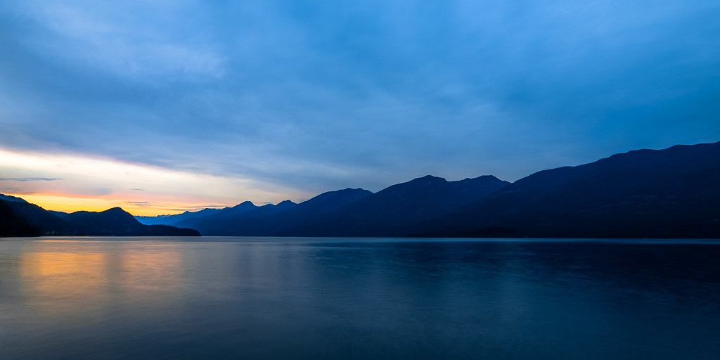
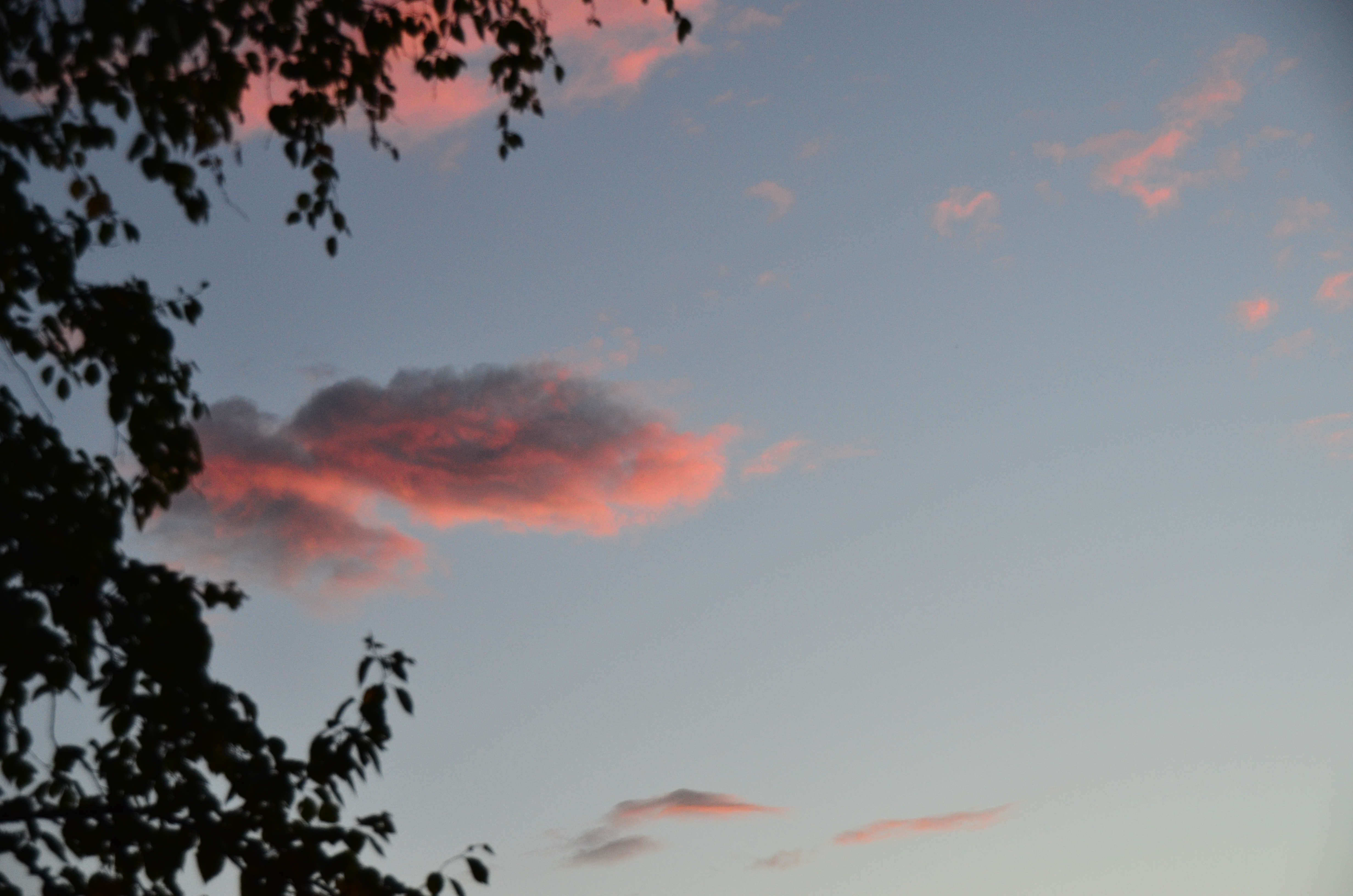
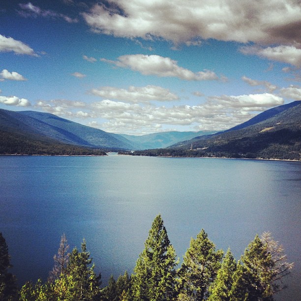
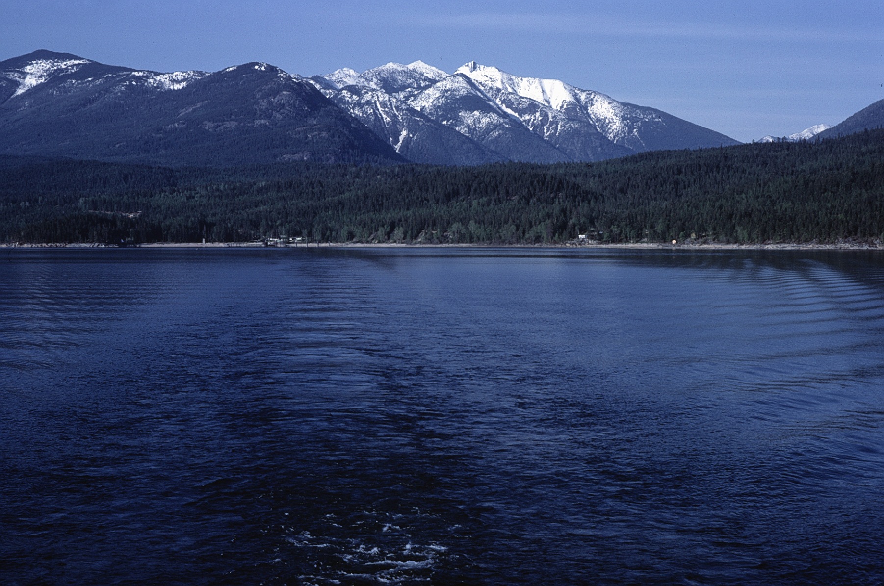
日出日落照片
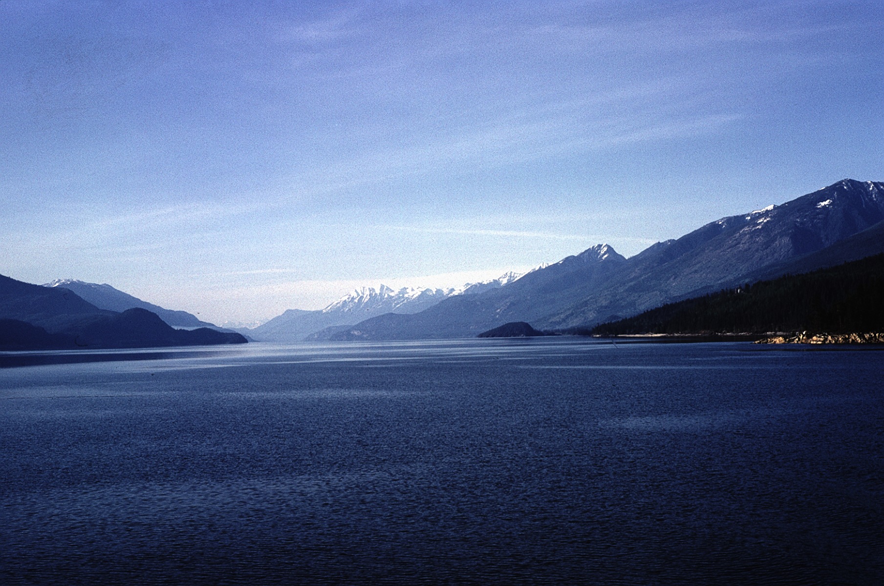
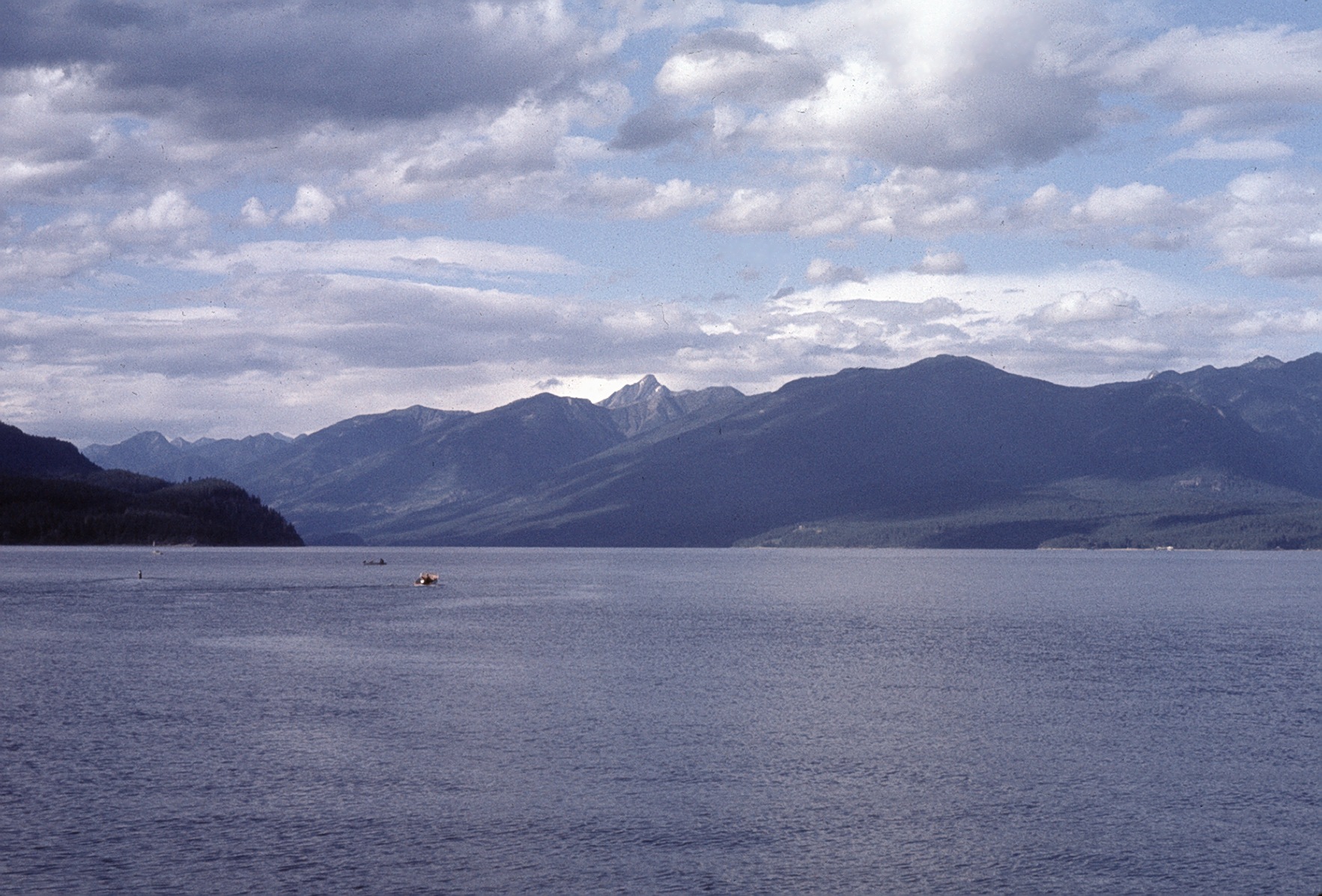
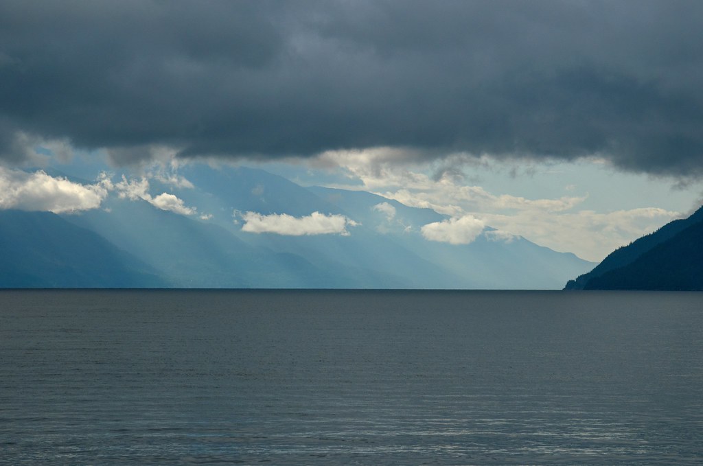
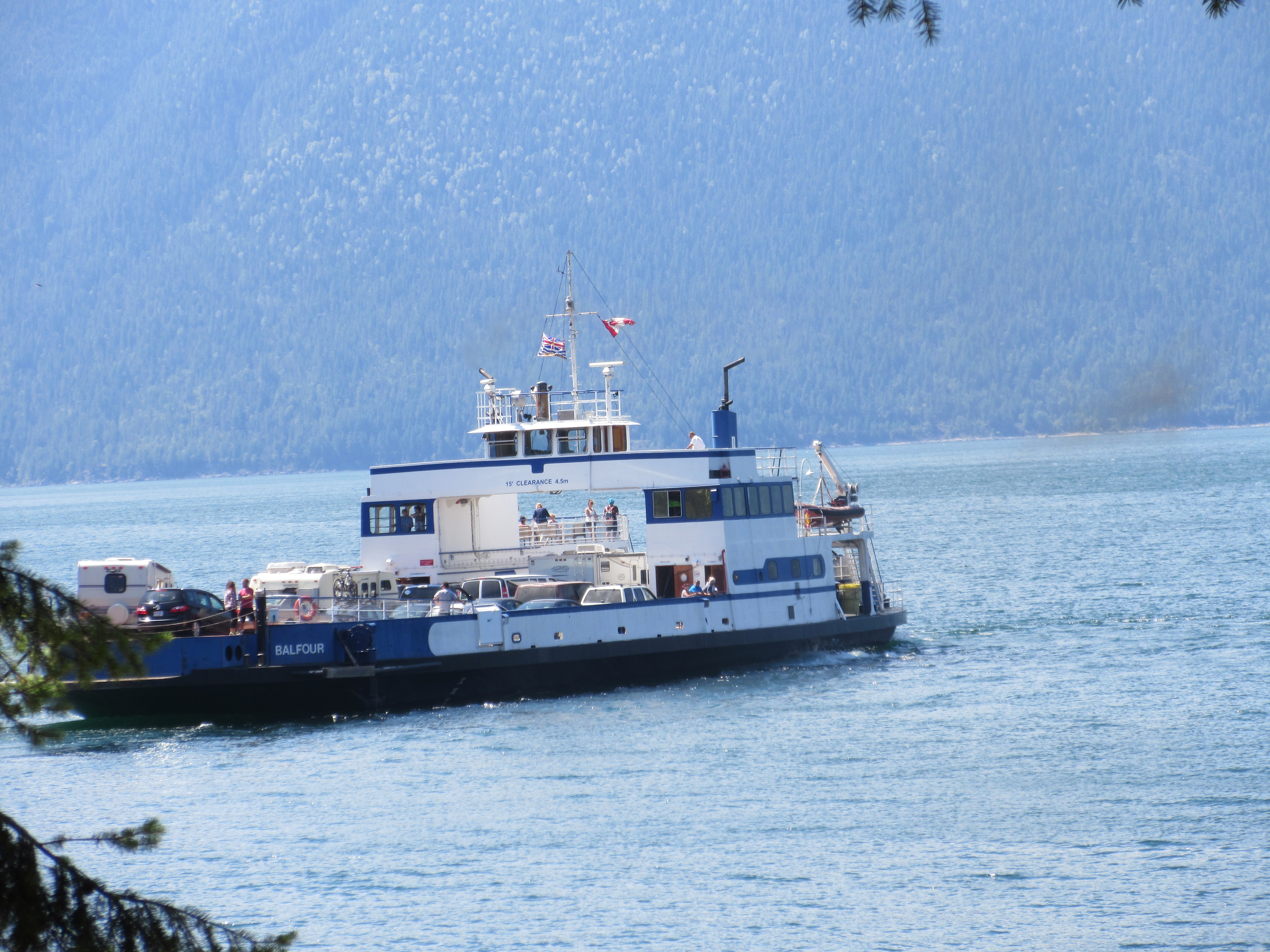
Kootenay Lake

19990714-005
Abend am Kootenay Lake
View from the top of pilot bay light house. A small detour down a lovely windy road From the ferry terminal
East from Kootenay Lake Ferry
North from Kootenay Lake Ferry
North from West Arm
View towards the dock
2014-04-28_02-04-44
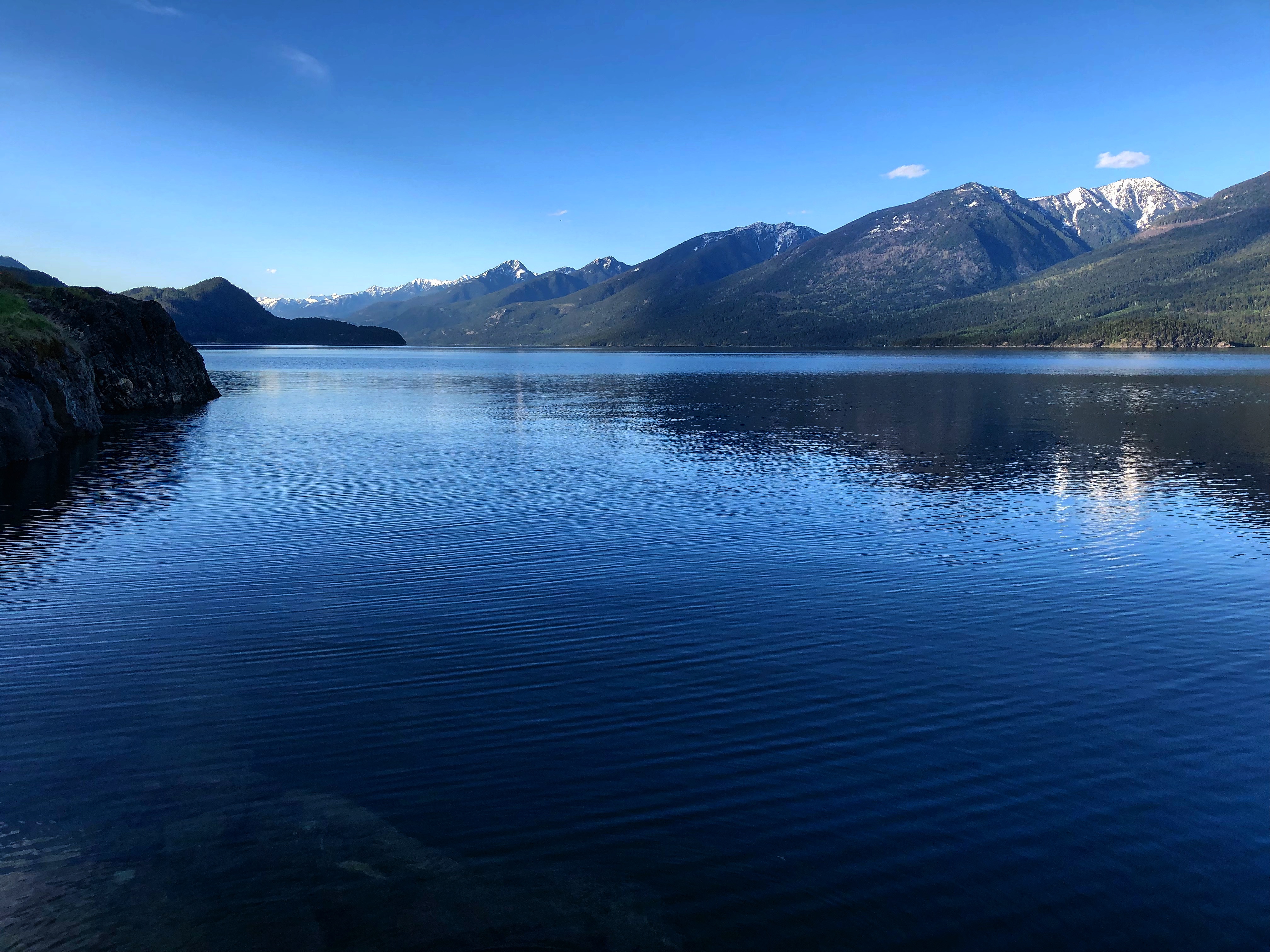
Kootenay Lake (HDR)
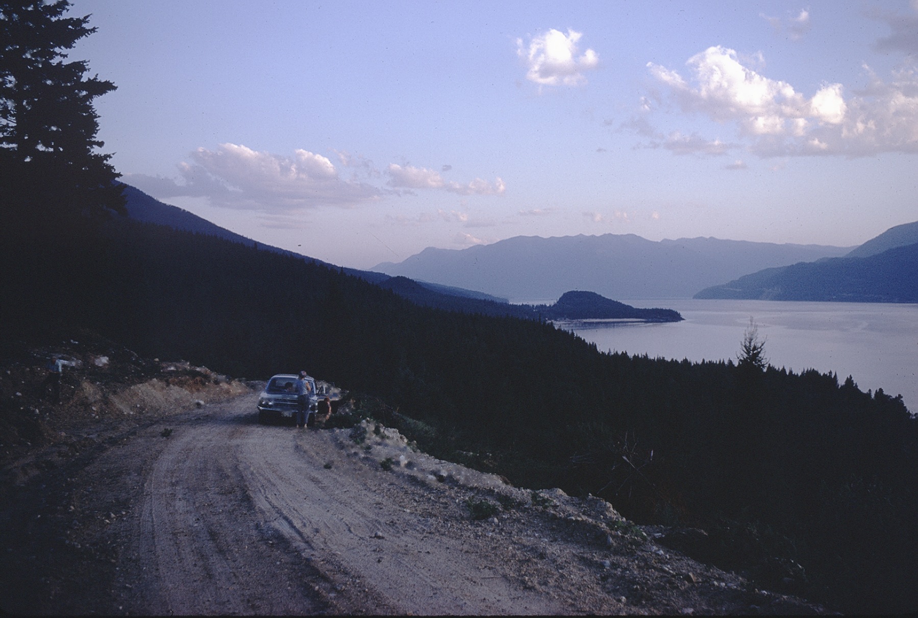
S toward Riondel 1970
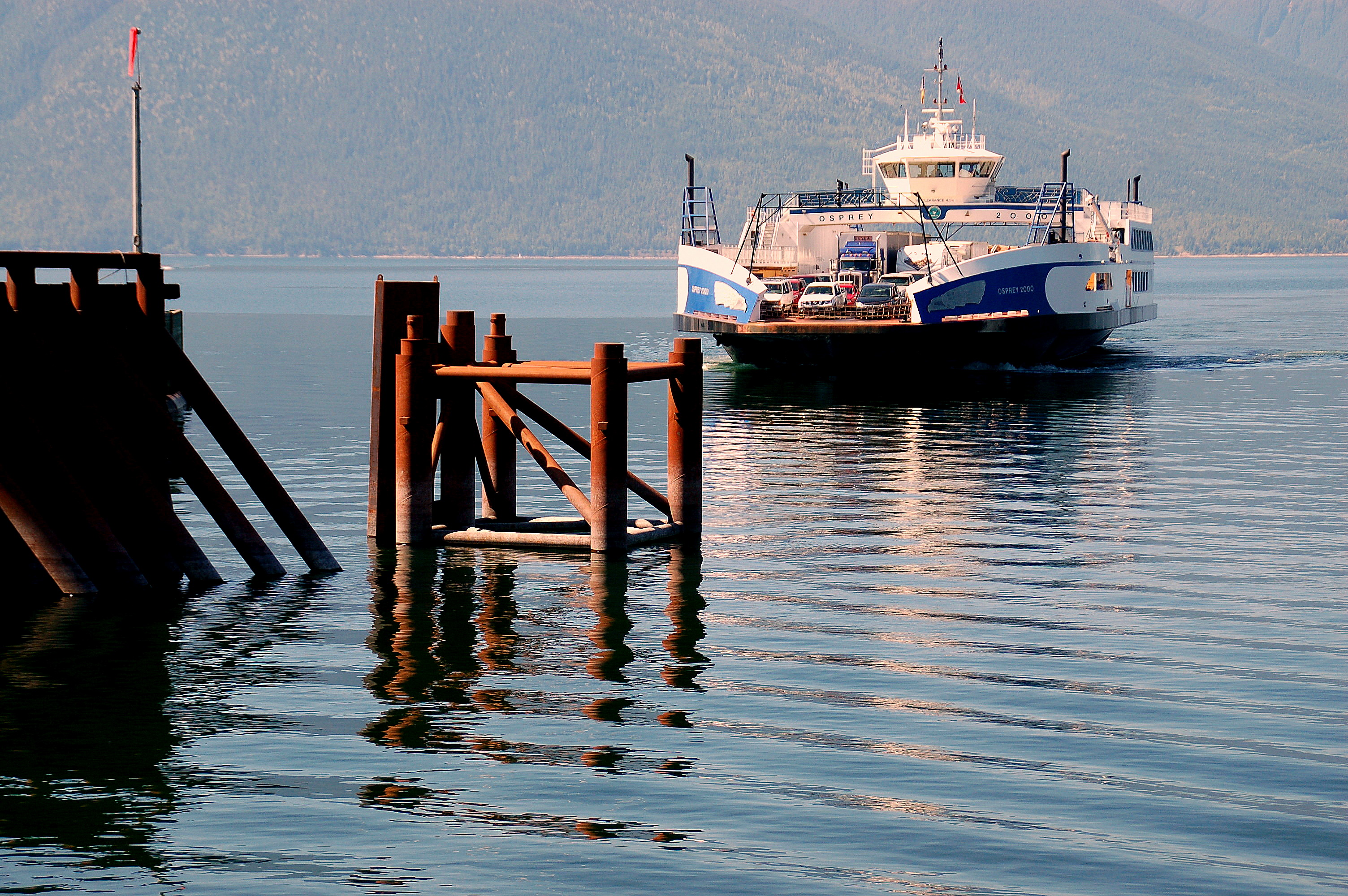
Seating Aboard the Osprey
Stretched Out
At entrance to BlueBell Mine
Auf der Fähre von Kootenay Bay nach Balfour
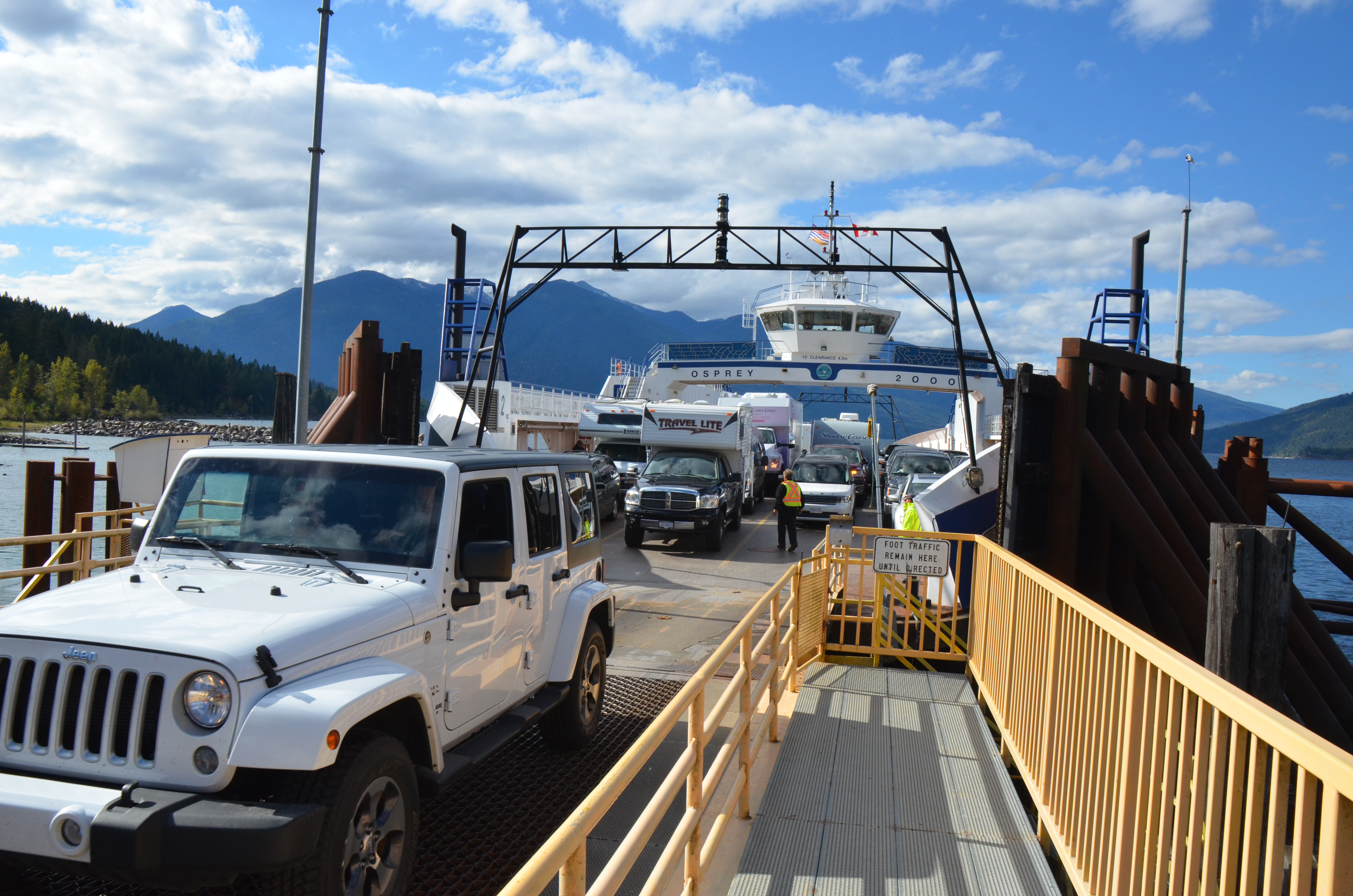
Auf der Fähre von Kootenay Bay nach Balfour
Can't quite see in
Departing ferry

Festival doze
Crawford Bay
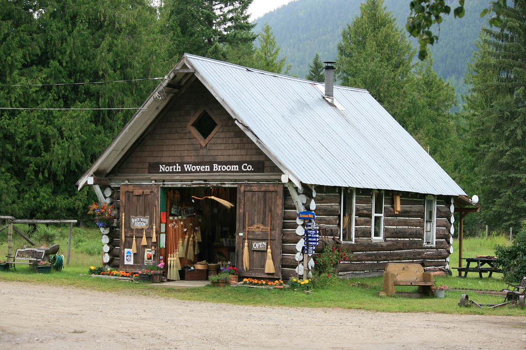
North Woven Broom Co., Crawford Bay, BC

Kokanee Golf Course

Mt. Crawford
Doug April 1970
Doug on steps
110-1084_IMG
Amazing Grace
Unto The Root
Fishhawk Bay Rd, Central Kootenay A, BC V0B加拿大Fishhawk Bay Road的地圖
搜索其他地方的日出日落時間
附近地點
Crawford Bay, BC V0B加拿大
Woolgar Road, Central Kootenay A, BC V0B 1E0加拿大
Wadds Rd, Central Kootenay A, BC V0B 1E0加拿大
Kootenay Bay, BC V0B 1X0加拿大
BC-3A, Gray Creek, BC V0B 1S0加拿大
Gray Creek, BC V0B加拿大
加拿大英屬哥倫比亞庫特內湖
Queens Bay, BC V1L加拿大
Kootenay Lake Road, Central Kootenay E, BC, 加拿大
加拿大不列颠哥伦比亚省巴尔弗V0G 1C0
Twin Bay Rd, Central Kootenay D, BC V0G 1M0加拿大Twin Bay Road
Sunshine Bay, BC V1L 6R3加拿大
Central Kootenay E, BC, 加拿大
Christie Rd, Boswell, BC V0B 1A4加拿大
Boswell, BC V0B加拿大
Erindale Rd, Nelson, BC V1L 6P8加拿大
Lake St, Central Kootenay D, BC V0G 1M0加拿大Lake Street
Arena Ave, Ainsworth Hot Springs, BC V0G 1A0加拿大
Front St, Kaslo, BC V0G 1M0加拿大
A Ave, Kaslo, BC V0G 1M0加拿大
最近搜索
- Presidente Quintana & Emilio Mitre, Carlos Keen, Provincia de Buenos Aires, 阿根廷的日出日落時間表
- Deep Gap Farm Rd E, Mill Spring, NC 美國的日出日落時間表
- 中國廣東省佛山市南海區九江鎮的日出日落時間表
- 美國加利福尼亞山景城的日出日落時間表
- Shuenhigashi, Shari, Shari District, Hokkaido -日本Road to the sky observatory的日出日落時間表
- 台灣高雄市鼓山區柴山大路31號海岸咖啡的日出日落時間表
- Estates Loop, Priest River, ID 美國的日出日落時間表
- Woodland Oak Pl, Thousand Oaks, CA 美國的日出日落時間表
- Sarangdanda 尼泊爾的日出日落時間表
- Nakanoshima, Shiogama, Miyagi -日本的日出日落時間表