美國肯塔基州克里坦登郡的日出日落時間表
Location: 美國 > 肯塔基州 >
時區:
America/Chicago
當地時間:
2024-05-08 14:27:13
經度:
-88.0900762
緯度:
37.3673645
今天日出時間:
05:47:49 AM
今天日落時間:
07:49:44 PM
今天日照時長:
14h 1m 55s
明天日出時間:
05:46:53 AM
明天日落時間:
07:50:36 PM
明天日照時長:
14h 3m 43s
顯示所有日期
| 日期 | 日出 | 日落 | 日照時長 |
|---|---|---|---|
| 2024年01月01日 | 07:06:38 AM | 04:45:40 PM | 9h 39m 2s |
| 2024年01月02日 | 07:06:45 AM | 04:46:29 PM | 9h 39m 44s |
| 2024年01月03日 | 07:06:50 AM | 04:47:19 PM | 9h 40m 29s |
| 2024年01月04日 | 07:06:54 AM | 04:48:10 PM | 9h 41m 16s |
| 2024年01月05日 | 07:06:55 AM | 04:49:02 PM | 9h 42m 7s |
| 2024年01月06日 | 07:06:54 AM | 04:49:55 PM | 9h 43m 1s |
| 2024年01月07日 | 07:06:51 AM | 04:50:50 PM | 9h 43m 59s |
| 2024年01月08日 | 07:06:46 AM | 04:51:45 PM | 9h 44m 59s |
| 2024年01月09日 | 07:06:39 AM | 04:52:42 PM | 9h 46m 3s |
| 2024年01月10日 | 07:06:30 AM | 04:53:39 PM | 9h 47m 9s |
| 2024年01月11日 | 07:06:18 AM | 04:54:37 PM | 9h 48m 19s |
| 2024年01月12日 | 07:06:05 AM | 04:55:36 PM | 9h 49m 31s |
| 2024年01月13日 | 07:05:50 AM | 04:56:36 PM | 9h 50m 46s |
| 2024年01月14日 | 07:05:33 AM | 04:57:37 PM | 9h 52m 4s |
| 2024年01月15日 | 07:05:13 AM | 04:58:38 PM | 9h 53m 25s |
| 2024年01月16日 | 07:04:52 AM | 04:59:40 PM | 9h 54m 48s |
| 2024年01月17日 | 07:04:29 AM | 05:00:43 PM | 9h 56m 14s |
| 2024年01月18日 | 07:04:04 AM | 05:01:46 PM | 9h 57m 42s |
| 2024年01月19日 | 07:03:37 AM | 05:02:49 PM | 9h 59m 12s |
| 2024年01月20日 | 07:03:07 AM | 05:03:53 PM | 10h 0m 46s |
| 2024年01月21日 | 07:02:36 AM | 05:04:58 PM | 10h 2m 22s |
| 2024年01月22日 | 07:02:04 AM | 05:06:02 PM | 10h 3m 58s |
| 2024年01月23日 | 07:01:29 AM | 05:07:07 PM | 10h 5m 38s |
| 2024年01月24日 | 07:00:52 AM | 05:08:13 PM | 10h 7m 21s |
| 2024年01月25日 | 07:00:14 AM | 05:09:18 PM | 10h 9m 4s |
| 2024年01月26日 | 06:59:34 AM | 05:10:24 PM | 10h 10m 50s |
| 2024年01月27日 | 06:58:52 AM | 05:11:30 PM | 10h 12m 38s |
| 2024年01月28日 | 06:58:08 AM | 05:12:36 PM | 10h 14m 28s |
| 2024年01月29日 | 06:57:23 AM | 05:13:42 PM | 10h 16m 19s |
| 2024年01月30日 | 06:56:36 AM | 05:14:48 PM | 10h 18m 12s |
| 2024年01月31日 | 06:55:47 AM | 05:15:54 PM | 10h 20m 7s |
| 2024年02月01日 | 06:54:57 AM | 05:17:00 PM | 10h 22m 3s |
| 2024年02月02日 | 06:54:05 AM | 05:18:06 PM | 10h 24m 1s |
| 2024年02月03日 | 06:53:11 AM | 05:19:12 PM | 10h 26m 1s |
| 2024年02月04日 | 06:52:16 AM | 05:20:18 PM | 10h 28m 2s |
| 2024年02月05日 | 06:51:20 AM | 05:21:24 PM | 10h 30m 4s |
| 2024年02月06日 | 06:50:22 AM | 05:22:29 PM | 10h 32m 7s |
| 2024年02月07日 | 06:49:22 AM | 05:23:35 PM | 10h 34m 13s |
| 2024年02月08日 | 06:48:21 AM | 05:24:40 PM | 10h 36m 19s |
| 2024年02月09日 | 06:47:19 AM | 05:25:45 PM | 10h 38m 26s |
| 2024年02月10日 | 06:46:16 AM | 05:26:50 PM | 10h 40m 34s |
| 2024年02月11日 | 06:45:11 AM | 05:27:55 PM | 10h 42m 44s |
| 2024年02月12日 | 06:44:05 AM | 05:28:59 PM | 10h 44m 54s |
| 2024年02月13日 | 06:42:57 AM | 05:30:04 PM | 10h 47m 7s |
| 2024年02月14日 | 06:41:49 AM | 05:31:07 PM | 10h 49m 18s |
| 2024年02月15日 | 06:40:39 AM | 05:32:11 PM | 10h 51m 32s |
| 2024年02月16日 | 06:39:28 AM | 05:33:14 PM | 10h 53m 46s |
| 2024年02月17日 | 06:38:16 AM | 05:34:17 PM | 10h 56m 1s |
| 2024年02月18日 | 06:37:03 AM | 05:35:20 PM | 10h 58m 17s |
| 2024年02月19日 | 06:35:49 AM | 05:36:23 PM | 11h 0m 34s |
| 2024年02月20日 | 06:34:34 AM | 05:37:25 PM | 11h 2m 51s |
| 2024年02月21日 | 06:33:18 AM | 05:38:26 PM | 11h 5m 8s |
| 2024年02月22日 | 06:32:01 AM | 05:39:28 PM | 11h 7m 27s |
| 2024年02月23日 | 06:30:43 AM | 05:40:29 PM | 11h 9m 46s |
| 2024年02月24日 | 06:29:25 AM | 05:41:30 PM | 11h 12m 5s |
| 2024年02月25日 | 06:28:05 AM | 05:42:30 PM | 11h 14m 25s |
| 2024年02月26日 | 06:26:45 AM | 05:43:31 PM | 11h 16m 46s |
| 2024年02月27日 | 06:25:23 AM | 05:44:30 PM | 11h 19m 7s |
| 2024年02月28日 | 06:24:01 AM | 05:45:30 PM | 11h 21m 29s |
| 2024年02月29日 | 06:22:39 AM | 05:46:29 PM | 11h 23m 50s |
| 2024年03月01日 | 06:21:16 AM | 05:47:28 PM | 11h 26m 12s |
| 2024年03月02日 | 06:19:52 AM | 05:48:27 PM | 11h 28m 35s |
| 2024年03月03日 | 06:18:27 AM | 05:49:25 PM | 11h 30m 58s |
| 2024年03月04日 | 06:17:02 AM | 05:50:23 PM | 11h 33m 21s |
| 2024年03月05日 | 06:15:36 AM | 05:51:21 PM | 11h 35m 45s |
| 2024年03月06日 | 06:14:10 AM | 05:52:18 PM | 11h 38m 8s |
| 2024年03月07日 | 06:12:43 AM | 05:53:15 PM | 11h 40m 32s |
| 2024年03月08日 | 06:11:16 AM | 05:54:12 PM | 11h 42m 56s |
| 2024年03月09日 | 06:09:49 AM | 05:55:09 PM | 11h 45m 20s |
| 2024年03月10日 | 07:08:24 AM | 06:56:03 PM | 11h 47m 39s |
| 2024年03月11日 | 07:06:56 AM | 06:56:59 PM | 11h 50m 3s |
| 2024年03月12日 | 07:05:27 AM | 06:57:55 PM | 11h 52m 28s |
| 2024年03月13日 | 07:03:58 AM | 06:58:51 PM | 11h 54m 53s |
| 2024年03月14日 | 07:02:29 AM | 06:59:47 PM | 11h 57m 18s |
| 2024年03月15日 | 07:01:00 AM | 07:00:42 PM | 11h 59m 42s |
| 2024年03月16日 | 06:59:30 AM | 07:01:37 PM | 12h 2m 7s |
| 2024年03月17日 | 06:58:00 AM | 07:02:32 PM | 12h 4m 32s |
| 2024年03月18日 | 06:56:30 AM | 07:03:27 PM | 12h 6m 57s |
| 2024年03月19日 | 06:55:00 AM | 07:04:22 PM | 12h 9m 22s |
| 2024年03月20日 | 06:53:30 AM | 07:05:16 PM | 12h 11m 46s |
| 2024年03月21日 | 06:51:59 AM | 07:06:11 PM | 12h 14m 12s |
| 2024年03月22日 | 06:50:29 AM | 07:07:05 PM | 12h 16m 36s |
| 2024年03月23日 | 06:48:59 AM | 07:07:59 PM | 12h 19m 0s |
| 2024年03月24日 | 06:47:28 AM | 07:08:53 PM | 12h 21m 25s |
| 2024年03月25日 | 06:45:58 AM | 07:09:47 PM | 12h 23m 49s |
| 2024年03月26日 | 06:44:28 AM | 07:10:41 PM | 12h 26m 13s |
| 2024年03月27日 | 06:42:58 AM | 07:11:35 PM | 12h 28m 37s |
| 2024年03月28日 | 06:41:28 AM | 07:12:29 PM | 12h 31m 1s |
| 2024年03月29日 | 06:39:58 AM | 07:13:23 PM | 12h 33m 25s |
| 2024年03月30日 | 06:38:29 AM | 07:14:17 PM | 12h 35m 48s |
| 2024年03月31日 | 06:36:59 AM | 07:15:10 PM | 12h 38m 11s |
| 2024年04月01日 | 06:35:30 AM | 07:16:04 PM | 12h 40m 34s |
| 2024年04月02日 | 06:34:02 AM | 07:16:58 PM | 12h 42m 56s |
| 2024年04月03日 | 06:32:33 AM | 07:17:51 PM | 12h 45m 18s |
| 2024年04月04日 | 06:31:05 AM | 07:18:45 PM | 12h 47m 40s |
| 2024年04月05日 | 06:29:38 AM | 07:19:39 PM | 12h 50m 1s |
| 2024年04月06日 | 06:28:10 AM | 07:20:32 PM | 12h 52m 22s |
| 2024年04月07日 | 06:26:43 AM | 07:21:26 PM | 12h 54m 43s |
| 2024年04月08日 | 06:25:17 AM | 07:22:20 PM | 12h 57m 3s |
| 2024年04月09日 | 06:23:51 AM | 07:23:14 PM | 12h 59m 23s |
| 2024年04月10日 | 06:22:26 AM | 07:24:07 PM | 13h 1m 41s |
| 2024年04月11日 | 06:21:01 AM | 07:25:01 PM | 13h 4m 0s |
| 2024年04月12日 | 06:19:37 AM | 07:25:55 PM | 13h 6m 18s |
| 2024年04月13日 | 06:18:14 AM | 07:26:49 PM | 13h 8m 35s |
| 2024年04月14日 | 06:16:51 AM | 07:27:43 PM | 13h 10m 52s |
| 2024年04月15日 | 06:15:29 AM | 07:28:37 PM | 13h 13m 8s |
| 2024年04月16日 | 06:14:07 AM | 07:29:31 PM | 13h 15m 24s |
| 2024年04月17日 | 06:12:46 AM | 07:30:25 PM | 13h 17m 39s |
| 2024年04月18日 | 06:11:27 AM | 07:31:19 PM | 13h 19m 52s |
| 2024年04月19日 | 06:10:07 AM | 07:32:14 PM | 13h 22m 7s |
| 2024年04月20日 | 06:08:49 AM | 07:33:08 PM | 13h 24m 19s |
| 2024年04月21日 | 06:07:32 AM | 07:34:02 PM | 13h 26m 30s |
| 2024年04月22日 | 06:06:15 AM | 07:34:56 PM | 13h 28m 41s |
| 2024年04月23日 | 06:04:59 AM | 07:35:51 PM | 13h 30m 52s |
| 2024年04月24日 | 06:03:45 AM | 07:36:45 PM | 13h 33m 0s |
| 2024年04月25日 | 06:02:31 AM | 07:37:39 PM | 13h 35m 8s |
| 2024年04月26日 | 06:01:18 AM | 07:38:33 PM | 13h 37m 15s |
| 2024年04月27日 | 06:00:07 AM | 07:39:28 PM | 13h 39m 21s |
| 2024年04月28日 | 05:58:56 AM | 07:40:22 PM | 13h 41m 26s |
| 2024年04月29日 | 05:57:47 AM | 07:41:16 PM | 13h 43m 29s |
| 2024年04月30日 | 05:56:38 AM | 07:42:10 PM | 13h 45m 32s |
| 2024年05月01日 | 05:55:31 AM | 07:43:04 PM | 13h 47m 33s |
| 2024年05月02日 | 05:54:25 AM | 07:43:58 PM | 13h 49m 33s |
| 2024年05月03日 | 05:53:20 AM | 07:44:52 PM | 13h 51m 32s |
| 2024年05月04日 | 05:52:16 AM | 07:45:46 PM | 13h 53m 30s |
| 2024年05月05日 | 05:51:14 AM | 07:46:40 PM | 13h 55m 26s |
| 2024年05月06日 | 05:50:13 AM | 07:47:33 PM | 13h 57m 20s |
| 2024年05月07日 | 05:49:13 AM | 07:48:26 PM | 13h 59m 13s |
| 2024年05月08日 | 05:48:15 AM | 07:49:19 PM | 14h 1m 4s |
| 2024年05月09日 | 05:47:18 AM | 07:50:12 PM | 14h 2m 54s |
| 2024年05月10日 | 05:46:23 AM | 07:51:05 PM | 14h 4m 42s |
| 2024年05月11日 | 05:45:28 AM | 07:51:57 PM | 14h 6m 29s |
| 2024年05月12日 | 05:44:36 AM | 07:52:49 PM | 14h 8m 13s |
| 2024年05月13日 | 05:43:45 AM | 07:53:41 PM | 14h 9m 56s |
| 2024年05月14日 | 05:42:55 AM | 07:54:32 PM | 14h 11m 37s |
| 2024年05月15日 | 05:42:07 AM | 07:55:23 PM | 14h 13m 16s |
| 2024年05月16日 | 05:41:20 AM | 07:56:13 PM | 14h 14m 53s |
| 2024年05月17日 | 05:40:35 AM | 07:57:03 PM | 14h 16m 28s |
| 2024年05月18日 | 05:39:51 AM | 07:57:53 PM | 14h 18m 2s |
| 2024年05月19日 | 05:39:10 AM | 07:58:42 PM | 14h 19m 32s |
| 2024年05月20日 | 05:38:29 AM | 07:59:30 PM | 14h 21m 1s |
| 2024年05月21日 | 05:37:51 AM | 08:00:18 PM | 14h 22m 27s |
| 2024年05月22日 | 05:37:14 AM | 08:01:05 PM | 14h 23m 51s |
| 2024年05月23日 | 05:36:39 AM | 08:01:52 PM | 14h 25m 13s |
| 2024年05月24日 | 05:36:05 AM | 08:02:37 PM | 14h 26m 32s |
| 2024年05月25日 | 05:35:33 AM | 08:03:22 PM | 14h 27m 49s |
| 2024年05月26日 | 05:35:03 AM | 08:04:07 PM | 14h 29m 4s |
| 2024年05月27日 | 05:34:35 AM | 08:04:50 PM | 14h 30m 15s |
| 2024年05月28日 | 05:34:08 AM | 08:05:33 PM | 14h 31m 25s |
| 2024年05月29日 | 05:33:43 AM | 08:06:15 PM | 14h 32m 32s |
| 2024年05月30日 | 05:33:20 AM | 08:06:55 PM | 14h 33m 35s |
| 2024年05月31日 | 05:32:59 AM | 08:07:35 PM | 14h 34m 36s |
| 2024年06月01日 | 05:32:39 AM | 08:08:14 PM | 14h 35m 35s |
| 2024年06月02日 | 05:32:21 AM | 08:08:52 PM | 14h 36m 31s |
| 2024年06月03日 | 05:32:05 AM | 08:09:29 PM | 14h 37m 24s |
| 2024年06月04日 | 05:31:51 AM | 08:10:04 PM | 14h 38m 13s |
| 2024年06月05日 | 05:31:39 AM | 08:10:39 PM | 14h 39m 0s |
| 2024年06月06日 | 05:31:28 AM | 08:11:12 PM | 14h 39m 44s |
| 2024年06月07日 | 05:31:19 AM | 08:11:44 PM | 14h 40m 25s |
| 2024年06月08日 | 05:31:12 AM | 08:12:15 PM | 14h 41m 3s |
| 2024年06月09日 | 05:31:07 AM | 08:12:44 PM | 14h 41m 37s |
| 2024年06月10日 | 05:31:03 AM | 08:13:12 PM | 14h 42m 9s |
| 2024年06月11日 | 05:31:01 AM | 08:13:39 PM | 14h 42m 38s |
| 2024年06月12日 | 05:31:01 AM | 08:14:04 PM | 14h 43m 3s |
| 2024年06月13日 | 05:31:03 AM | 08:14:28 PM | 14h 43m 25s |
| 2024年06月14日 | 05:31:06 AM | 08:14:50 PM | 14h 43m 44s |
| 2024年06月15日 | 05:31:11 AM | 08:15:11 PM | 14h 44m 0s |
| 2024年06月16日 | 05:31:18 AM | 08:15:30 PM | 14h 44m 12s |
| 2024年06月17日 | 05:31:26 AM | 08:15:48 PM | 14h 44m 22s |
| 2024年06月18日 | 05:31:36 AM | 08:16:04 PM | 14h 44m 28s |
| 2024年06月19日 | 05:31:48 AM | 08:16:19 PM | 14h 44m 31s |
| 2024年06月20日 | 05:32:01 AM | 08:16:32 PM | 14h 44m 31s |
| 2024年06月21日 | 05:32:16 AM | 08:16:43 PM | 14h 44m 27s |
| 2024年06月22日 | 05:32:32 AM | 08:16:52 PM | 14h 44m 20s |
| 2024年06月23日 | 05:32:50 AM | 08:17:00 PM | 14h 44m 10s |
| 2024年06月24日 | 05:33:09 AM | 08:17:06 PM | 14h 43m 57s |
| 2024年06月25日 | 05:33:30 AM | 08:17:11 PM | 14h 43m 41s |
| 2024年06月26日 | 05:33:52 AM | 08:17:13 PM | 14h 43m 21s |
| 2024年06月27日 | 05:34:16 AM | 08:17:14 PM | 14h 42m 58s |
| 2024年06月28日 | 05:34:41 AM | 08:17:13 PM | 14h 42m 32s |
| 2024年06月29日 | 05:35:07 AM | 08:17:11 PM | 14h 42m 4s |
| 2024年06月30日 | 05:35:35 AM | 08:17:06 PM | 14h 41m 31s |
| 2024年07月01日 | 05:36:04 AM | 08:17:00 PM | 14h 40m 56s |
| 2024年07月02日 | 05:36:34 AM | 08:16:52 PM | 14h 40m 18s |
| 2024年07月03日 | 05:37:05 AM | 08:16:42 PM | 14h 39m 37s |
| 2024年07月04日 | 05:37:37 AM | 08:16:30 PM | 14h 38m 53s |
| 2024年07月05日 | 05:38:11 AM | 08:16:16 PM | 14h 38m 5s |
| 2024年07月06日 | 05:38:46 AM | 08:16:01 PM | 14h 37m 15s |
| 2024年07月07日 | 05:39:21 AM | 08:15:44 PM | 14h 36m 23s |
| 2024年07月08日 | 05:39:58 AM | 08:15:25 PM | 14h 35m 27s |
| 2024年07月09日 | 05:40:36 AM | 08:15:04 PM | 14h 34m 28s |
| 2024年07月10日 | 05:41:14 AM | 08:14:41 PM | 14h 33m 27s |
| 2024年07月11日 | 05:41:54 AM | 08:14:17 PM | 14h 32m 23s |
| 2024年07月12日 | 05:42:34 AM | 08:13:50 PM | 14h 31m 16s |
| 2024年07月13日 | 05:43:15 AM | 08:13:22 PM | 14h 30m 7s |
| 2024年07月14日 | 05:43:57 AM | 08:12:52 PM | 14h 28m 55s |
| 2024年07月15日 | 05:44:40 AM | 08:12:21 PM | 14h 27m 41s |
| 2024年07月16日 | 05:45:23 AM | 08:11:47 PM | 14h 26m 24s |
| 2024年07月17日 | 05:46:07 AM | 08:11:12 PM | 14h 25m 5s |
| 2024年07月18日 | 05:46:51 AM | 08:10:35 PM | 14h 23m 44s |
| 2024年07月19日 | 05:47:37 AM | 08:09:57 PM | 14h 22m 20s |
| 2024年07月20日 | 05:48:22 AM | 08:09:17 PM | 14h 20m 55s |
| 2024年07月21日 | 05:49:09 AM | 08:08:35 PM | 14h 19m 26s |
| 2024年07月22日 | 05:49:55 AM | 08:07:51 PM | 14h 17m 56s |
| 2024年07月23日 | 05:50:42 AM | 08:07:06 PM | 14h 16m 24s |
| 2024年07月24日 | 05:51:30 AM | 08:06:19 PM | 14h 14m 49s |
| 2024年07月25日 | 05:52:18 AM | 08:05:31 PM | 14h 13m 13s |
| 2024年07月26日 | 05:53:06 AM | 08:04:41 PM | 14h 11m 35s |
| 2024年07月27日 | 05:53:55 AM | 08:03:50 PM | 14h 9m 55s |
| 2024年07月28日 | 05:54:44 AM | 08:02:57 PM | 14h 8m 13s |
| 2024年07月29日 | 05:55:33 AM | 08:02:02 PM | 14h 6m 29s |
| 2024年07月30日 | 05:56:23 AM | 08:01:07 PM | 14h 4m 44s |
| 2024年07月31日 | 05:57:13 AM | 08:00:09 PM | 14h 2m 56s |
| 2024年08月01日 | 05:58:02 AM | 07:59:11 PM | 14h 1m 9s |
| 2024年08月02日 | 05:58:53 AM | 07:58:10 PM | 13h 59m 17s |
| 2024年08月03日 | 05:59:43 AM | 07:57:09 PM | 13h 57m 26s |
| 2024年08月04日 | 06:00:33 AM | 07:56:06 PM | 13h 55m 33s |
| 2024年08月05日 | 06:01:24 AM | 07:55:02 PM | 13h 53m 38s |
| 2024年08月06日 | 06:02:14 AM | 07:53:57 PM | 13h 51m 43s |
| 2024年08月07日 | 06:03:05 AM | 07:52:50 PM | 13h 49m 45s |
| 2024年08月08日 | 06:03:56 AM | 07:51:42 PM | 13h 47m 46s |
| 2024年08月09日 | 06:04:46 AM | 07:50:33 PM | 13h 45m 47s |
| 2024年08月10日 | 06:05:37 AM | 07:49:23 PM | 13h 43m 46s |
| 2024年08月11日 | 06:06:28 AM | 07:48:12 PM | 13h 41m 44s |
| 2024年08月12日 | 06:07:19 AM | 07:46:59 PM | 13h 39m 40s |
| 2024年08月13日 | 06:08:09 AM | 07:45:46 PM | 13h 37m 37s |
| 2024年08月14日 | 06:09:00 AM | 07:44:31 PM | 13h 35m 31s |
| 2024年08月15日 | 06:09:51 AM | 07:43:16 PM | 13h 33m 25s |
| 2024年08月16日 | 06:10:41 AM | 07:41:59 PM | 13h 31m 18s |
| 2024年08月17日 | 06:11:32 AM | 07:40:42 PM | 13h 29m 10s |
| 2024年08月18日 | 06:12:22 AM | 07:39:23 PM | 13h 27m 1s |
| 2024年08月19日 | 06:13:13 AM | 07:38:04 PM | 13h 24m 51s |
| 2024年08月20日 | 06:14:03 AM | 07:36:44 PM | 13h 22m 41s |
| 2024年08月21日 | 06:14:54 AM | 07:35:23 PM | 13h 20m 29s |
| 2024年08月22日 | 06:15:44 AM | 07:34:01 PM | 13h 18m 17s |
| 2024年08月23日 | 06:16:34 AM | 07:32:38 PM | 13h 16m 4s |
| 2024年08月24日 | 06:17:24 AM | 07:31:15 PM | 13h 13m 51s |
| 2024年08月25日 | 06:18:14 AM | 07:29:51 PM | 13h 11m 37s |
| 2024年08月26日 | 06:19:04 AM | 07:28:26 PM | 13h 9m 22s |
| 2024年08月27日 | 06:19:54 AM | 07:27:01 PM | 13h 7m 7s |
| 2024年08月28日 | 06:20:44 AM | 07:25:35 PM | 13h 4m 51s |
| 2024年08月29日 | 06:21:34 AM | 07:24:08 PM | 13h 2m 34s |
| 2024年08月30日 | 06:22:23 AM | 07:22:41 PM | 13h 0m 18s |
| 2024年08月31日 | 06:23:13 AM | 07:21:13 PM | 12h 58m 0s |
| 2024年09月01日 | 06:24:02 AM | 07:19:45 PM | 12h 55m 43s |
| 2024年09月02日 | 06:24:52 AM | 07:18:16 PM | 12h 53m 24s |
| 2024年09月03日 | 06:25:41 AM | 07:16:47 PM | 12h 51m 6s |
| 2024年09月04日 | 06:26:31 AM | 07:15:17 PM | 12h 48m 46s |
| 2024年09月05日 | 06:27:20 AM | 07:13:47 PM | 12h 46m 27s |
| 2024年09月06日 | 06:28:10 AM | 07:12:16 PM | 12h 44m 6s |
| 2024年09月07日 | 06:28:59 AM | 07:10:46 PM | 12h 41m 47s |
| 2024年09月08日 | 06:29:48 AM | 07:09:15 PM | 12h 39m 27s |
| 2024年09月09日 | 06:30:38 AM | 07:07:43 PM | 12h 37m 5s |
| 2024年09月10日 | 06:31:27 AM | 07:06:12 PM | 12h 34m 45s |
| 2024年09月11日 | 06:32:16 AM | 07:04:40 PM | 12h 32m 24s |
| 2024年09月12日 | 06:33:06 AM | 07:03:08 PM | 12h 30m 2s |
| 2024年09月13日 | 06:33:55 AM | 07:01:36 PM | 12h 27m 41s |
| 2024年09月14日 | 06:34:45 AM | 07:00:03 PM | 12h 25m 18s |
| 2024年09月15日 | 06:35:34 AM | 06:58:31 PM | 12h 22m 57s |
| 2024年09月16日 | 06:36:24 AM | 06:56:58 PM | 12h 20m 34s |
| 2024年09月17日 | 06:37:13 AM | 06:55:26 PM | 12h 18m 13s |
| 2024年09月18日 | 06:38:03 AM | 06:53:53 PM | 12h 15m 50s |
| 2024年09月19日 | 06:38:53 AM | 06:52:21 PM | 12h 13m 28s |
| 2024年09月20日 | 06:39:43 AM | 06:50:48 PM | 12h 11m 5s |
| 2024年09月21日 | 06:40:33 AM | 06:49:16 PM | 12h 8m 43s |
| 2024年09月22日 | 06:41:24 AM | 06:47:43 PM | 12h 6m 19s |
| 2024年09月23日 | 06:42:14 AM | 06:46:11 PM | 12h 3m 57s |
| 2024年09月24日 | 06:43:05 AM | 06:44:39 PM | 12h 1m 34s |
| 2024年09月25日 | 06:43:55 AM | 06:43:07 PM | 11h 59m 12s |
| 2024年09月26日 | 06:44:46 AM | 06:41:35 PM | 11h 56m 49s |
| 2024年09月27日 | 06:45:37 AM | 06:40:04 PM | 11h 54m 27s |
| 2024年09月28日 | 06:46:29 AM | 06:38:33 PM | 11h 52m 4s |
| 2024年09月29日 | 06:47:20 AM | 06:37:02 PM | 11h 49m 42s |
| 2024年09月30日 | 06:48:12 AM | 06:35:31 PM | 11h 47m 19s |
| 2024年10月01日 | 06:49:04 AM | 06:34:01 PM | 11h 44m 57s |
| 2024年10月02日 | 06:49:57 AM | 06:32:31 PM | 11h 42m 34s |
| 2024年10月03日 | 06:50:49 AM | 06:31:02 PM | 11h 40m 13s |
| 2024年10月04日 | 06:51:42 AM | 06:29:33 PM | 11h 37m 51s |
| 2024年10月05日 | 06:52:35 AM | 06:28:05 PM | 11h 35m 30s |
| 2024年10月06日 | 06:53:28 AM | 06:26:37 PM | 11h 33m 9s |
| 2024年10月07日 | 06:54:22 AM | 06:25:10 PM | 11h 30m 48s |
| 2024年10月08日 | 06:55:16 AM | 06:23:43 PM | 11h 28m 27s |
| 2024年10月09日 | 06:56:11 AM | 06:22:17 PM | 11h 26m 6s |
| 2024年10月10日 | 06:57:05 AM | 06:20:51 PM | 11h 23m 46s |
| 2024年10月11日 | 06:58:00 AM | 06:19:26 PM | 11h 21m 26s |
| 2024年10月12日 | 06:58:55 AM | 06:18:02 PM | 11h 19m 7s |
| 2024年10月13日 | 06:59:51 AM | 06:16:39 PM | 11h 16m 48s |
| 2024年10月14日 | 07:00:47 AM | 06:15:16 PM | 11h 14m 29s |
| 2024年10月15日 | 07:01:43 AM | 06:13:54 PM | 11h 12m 11s |
| 2024年10月16日 | 07:02:40 AM | 06:12:33 PM | 11h 9m 53s |
| 2024年10月17日 | 07:03:37 AM | 06:11:13 PM | 11h 7m 36s |
| 2024年10月18日 | 07:04:34 AM | 06:09:54 PM | 11h 5m 20s |
| 2024年10月19日 | 07:05:32 AM | 06:08:36 PM | 11h 3m 4s |
| 2024年10月20日 | 07:06:30 AM | 06:07:18 PM | 11h 0m 48s |
| 2024年10月21日 | 07:07:28 AM | 06:06:02 PM | 10h 58m 34s |
| 2024年10月22日 | 07:08:27 AM | 06:04:47 PM | 10h 56m 20s |
| 2024年10月23日 | 07:09:26 AM | 06:03:32 PM | 10h 54m 6s |
| 2024年10月24日 | 07:10:26 AM | 06:02:19 PM | 10h 51m 53s |
| 2024年10月25日 | 07:11:25 AM | 06:01:07 PM | 10h 49m 42s |
| 2024年10月26日 | 07:12:25 AM | 05:59:56 PM | 10h 47m 31s |
| 2024年10月27日 | 07:13:26 AM | 05:58:47 PM | 10h 45m 21s |
| 2024年10月28日 | 07:14:27 AM | 05:57:38 PM | 10h 43m 11s |
| 2024年10月29日 | 07:15:27 AM | 05:56:31 PM | 10h 41m 4s |
| 2024年10月30日 | 07:16:29 AM | 05:55:25 PM | 10h 38m 56s |
| 2024年10月31日 | 07:17:30 AM | 05:54:21 PM | 10h 36m 51s |
| 2024年11月01日 | 07:18:32 AM | 05:53:17 PM | 10h 34m 45s |
| 2024年11月02日 | 07:19:34 AM | 05:52:16 PM | 10h 32m 42s |
| 2024年11月03日 | 06:20:39 AM | 04:51:13 PM | 10h 30m 34s |
| 2024年11月04日 | 06:21:41 AM | 04:50:14 PM | 10h 28m 33s |
| 2024年11月05日 | 06:22:44 AM | 04:49:16 PM | 10h 26m 32s |
| 2024年11月06日 | 06:23:46 AM | 04:48:21 PM | 10h 24m 35s |
| 2024年11月07日 | 06:24:49 AM | 04:47:26 PM | 10h 22m 37s |
| 2024年11月08日 | 06:25:52 AM | 04:46:33 PM | 10h 20m 41s |
| 2024年11月09日 | 06:26:55 AM | 04:45:42 PM | 10h 18m 47s |
| 2024年11月10日 | 06:27:58 AM | 04:44:53 PM | 10h 16m 55s |
| 2024年11月11日 | 06:29:02 AM | 04:44:05 PM | 10h 15m 3s |
| 2024年11月12日 | 06:30:05 AM | 04:43:19 PM | 10h 13m 14s |
| 2024年11月13日 | 06:31:08 AM | 04:42:35 PM | 10h 11m 27s |
| 2024年11月14日 | 06:32:11 AM | 04:41:52 PM | 10h 9m 41s |
| 2024年11月15日 | 06:33:14 AM | 04:41:11 PM | 10h 7m 57s |
| 2024年11月16日 | 06:34:16 AM | 04:40:32 PM | 10h 6m 16s |
| 2024年11月17日 | 06:35:19 AM | 04:39:55 PM | 10h 4m 36s |
| 2024年11月18日 | 06:36:21 AM | 04:39:20 PM | 10h 2m 59s |
| 2024年11月19日 | 06:37:23 AM | 04:38:47 PM | 10h 1m 24s |
| 2024年11月20日 | 06:38:25 AM | 04:38:15 PM | 9h 59m 50s |
| 2024年11月21日 | 06:39:27 AM | 04:37:46 PM | 9h 58m 19s |
| 2024年11月22日 | 06:40:28 AM | 04:37:18 PM | 9h 56m 50s |
| 2024年11月23日 | 06:41:28 AM | 04:36:53 PM | 9h 55m 25s |
| 2024年11月24日 | 06:42:28 AM | 04:36:29 PM | 9h 54m 1s |
| 2024年11月25日 | 06:43:28 AM | 04:36:07 PM | 9h 52m 39s |
| 2024年11月26日 | 06:44:27 AM | 04:35:48 PM | 9h 51m 21s |
| 2024年11月27日 | 06:45:25 AM | 04:35:30 PM | 9h 50m 5s |
| 2024年11月28日 | 06:46:23 AM | 04:35:15 PM | 9h 48m 52s |
| 2024年11月29日 | 06:47:20 AM | 04:35:02 PM | 9h 47m 42s |
| 2024年11月30日 | 06:48:16 AM | 04:34:50 PM | 9h 46m 34s |
| 2024年12月01日 | 06:49:12 AM | 04:34:41 PM | 9h 45m 29s |
| 2024年12月02日 | 06:50:06 AM | 04:34:34 PM | 9h 44m 28s |
| 2024年12月03日 | 06:51:00 AM | 04:34:29 PM | 9h 43m 29s |
| 2024年12月04日 | 06:51:53 AM | 04:34:26 PM | 9h 42m 33s |
| 2024年12月05日 | 06:52:44 AM | 04:34:25 PM | 9h 41m 41s |
| 2024年12月06日 | 06:53:35 AM | 04:34:26 PM | 9h 40m 51s |
| 2024年12月07日 | 06:54:24 AM | 04:34:30 PM | 9h 40m 6s |
| 2024年12月08日 | 06:55:12 AM | 04:34:35 PM | 9h 39m 23s |
| 2024年12月09日 | 06:56:00 AM | 04:34:42 PM | 9h 38m 42s |
| 2024年12月10日 | 06:56:45 AM | 04:34:52 PM | 9h 38m 7s |
| 2024年12月11日 | 06:57:30 AM | 04:35:04 PM | 9h 37m 34s |
| 2024年12月12日 | 06:58:13 AM | 04:35:17 PM | 9h 37m 4s |
| 2024年12月13日 | 06:58:54 AM | 04:35:33 PM | 9h 36m 39s |
| 2024年12月14日 | 06:59:35 AM | 04:35:50 PM | 9h 36m 15s |
| 2024年12月15日 | 07:00:13 AM | 04:36:10 PM | 9h 35m 57s |
| 2024年12月16日 | 07:00:50 AM | 04:36:32 PM | 9h 35m 42s |
| 2024年12月17日 | 07:01:26 AM | 04:36:55 PM | 9h 35m 29s |
| 2024年12月18日 | 07:02:00 AM | 04:37:21 PM | 9h 35m 21s |
| 2024年12月19日 | 07:02:32 AM | 04:37:48 PM | 9h 35m 16s |
| 2024年12月20日 | 07:03:02 AM | 04:38:17 PM | 9h 35m 15s |
| 2024年12月21日 | 07:03:31 AM | 04:38:48 PM | 9h 35m 17s |
| 2024年12月22日 | 07:03:58 AM | 04:39:21 PM | 9h 35m 23s |
| 2024年12月23日 | 07:04:23 AM | 04:39:55 PM | 9h 35m 32s |
| 2024年12月24日 | 07:04:46 AM | 04:40:31 PM | 9h 35m 45s |
| 2024年12月25日 | 07:05:08 AM | 04:41:09 PM | 9h 36m 1s |
| 2024年12月26日 | 07:05:27 AM | 04:41:48 PM | 9h 36m 21s |
| 2024年12月27日 | 07:05:45 AM | 04:42:29 PM | 9h 36m 44s |
| 2024年12月28日 | 07:06:01 AM | 04:43:12 PM | 9h 37m 11s |
| 2024年12月29日 | 07:06:14 AM | 04:43:56 PM | 9h 37m 42s |
| 2024年12月30日 | 07:06:26 AM | 04:44:42 PM | 9h 38m 16s |
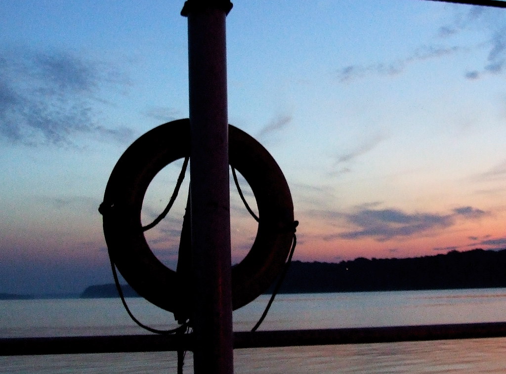
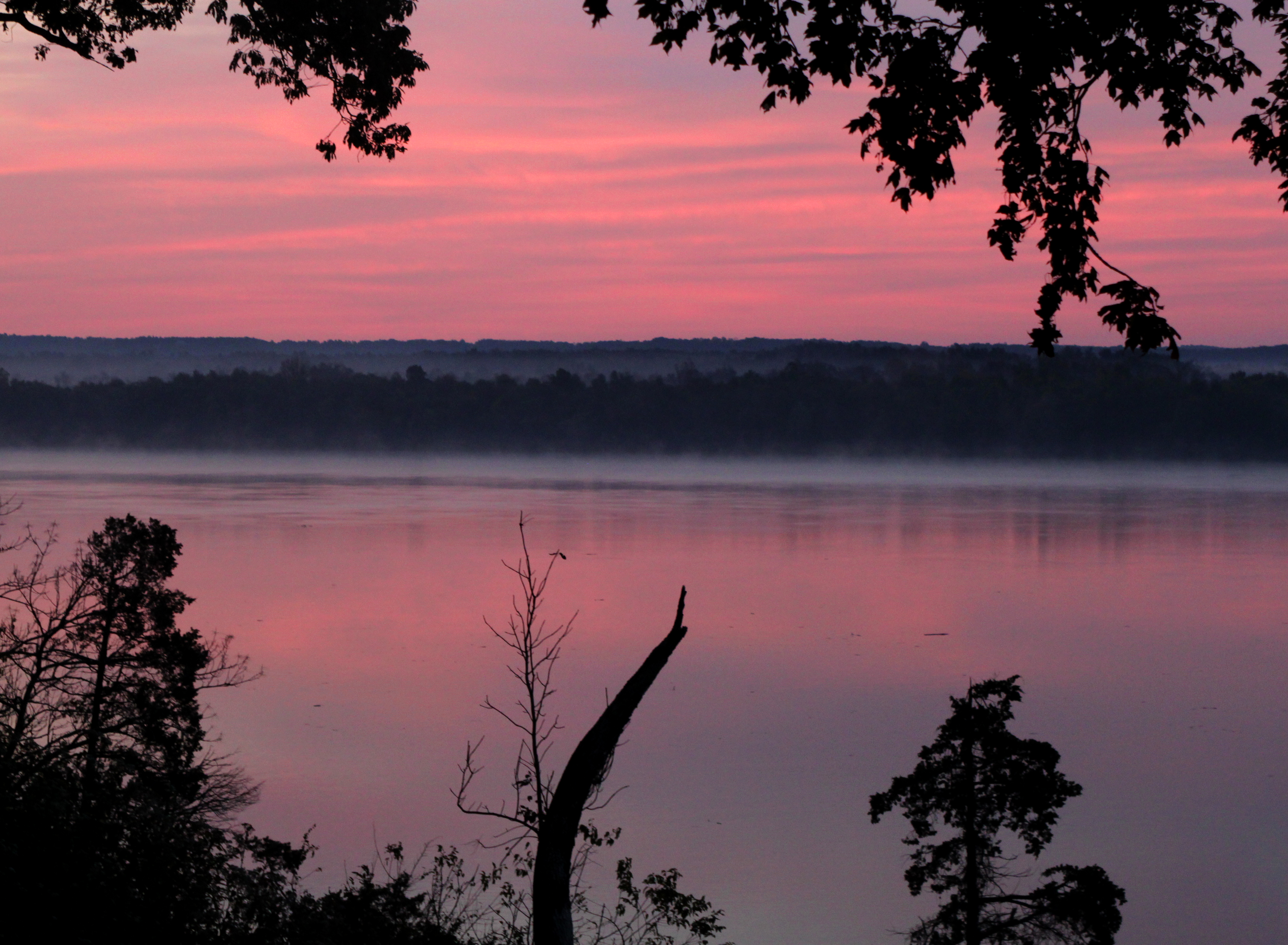
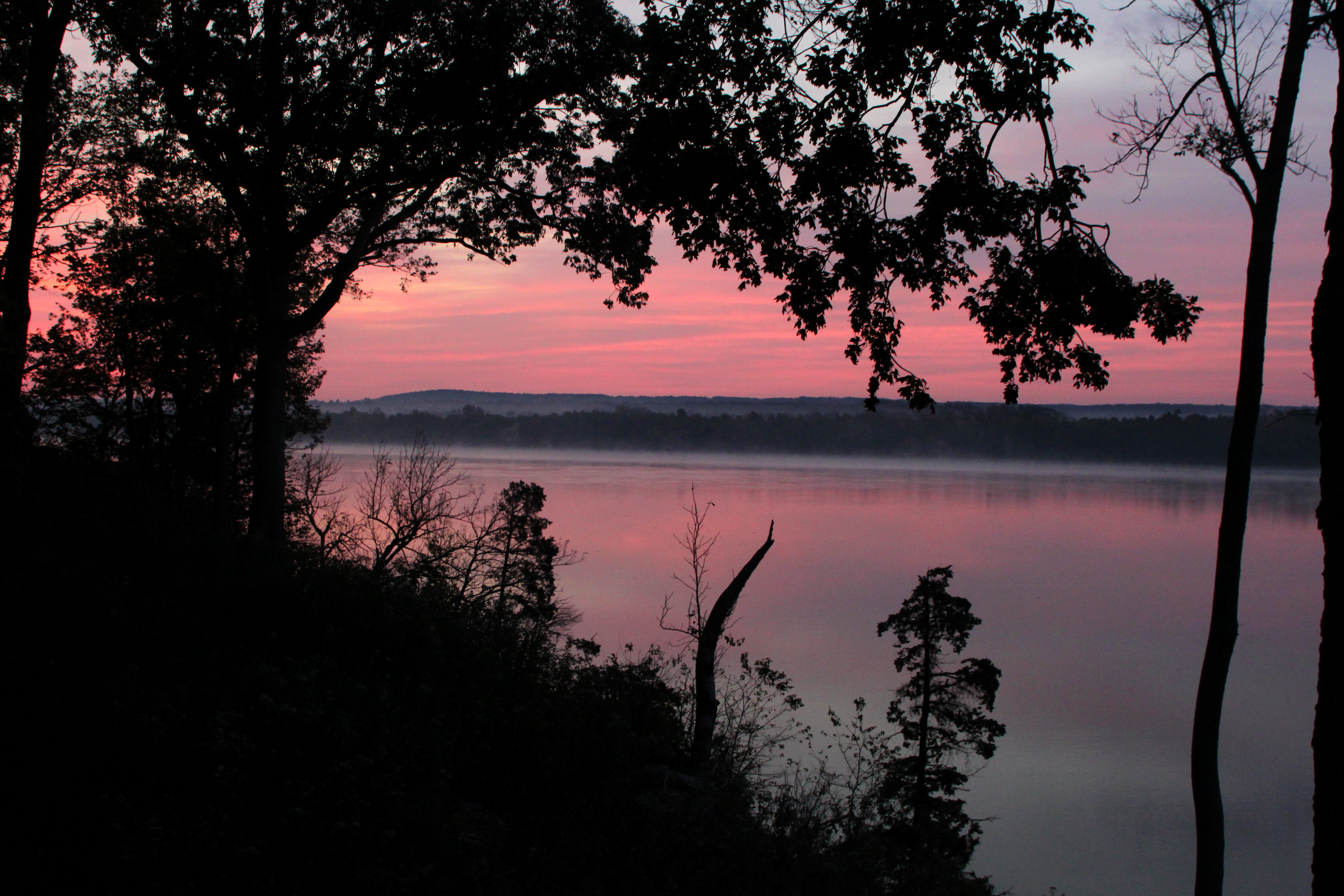
日出日落照片
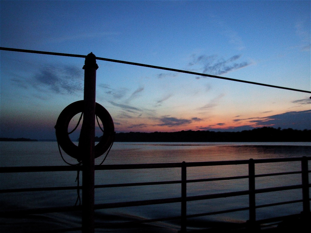
Twilight On The Ohio (River)

Camera Roll-1971

September 29, 2012

black and white sunset
Sunset (Twilight) From The Ferry

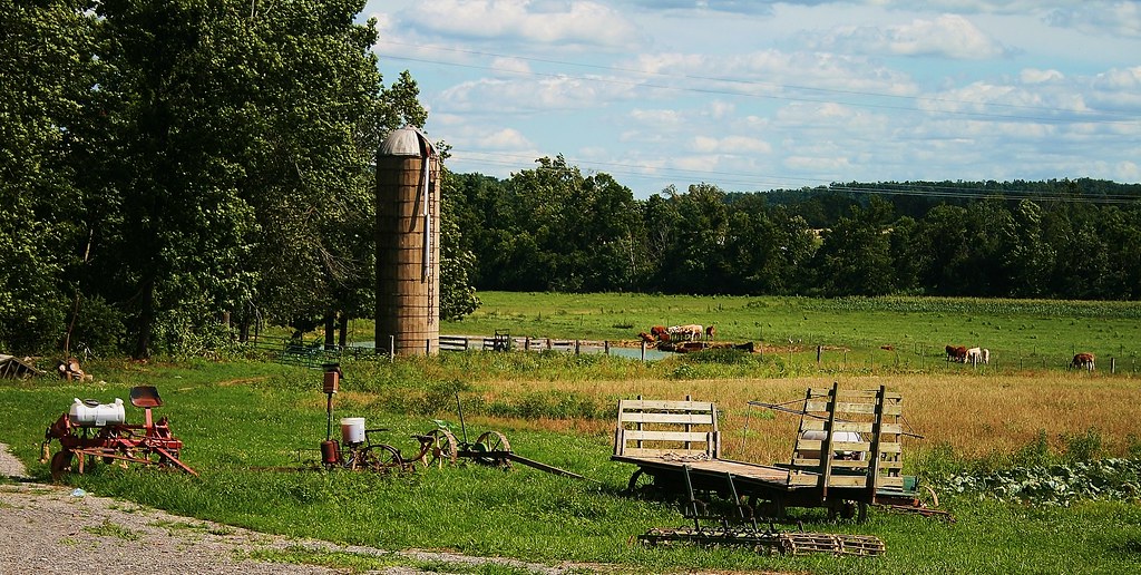
Amish Farm
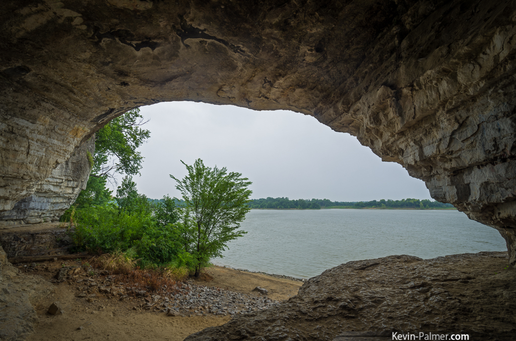
Looking Out
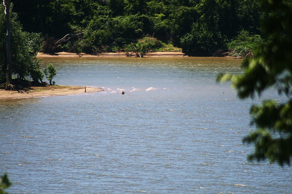
Tip of an Island in the Ohio River
美國肯塔基州克里坦登郡的地圖
搜索其他地方的日出日落時間
美國肯塔基州克里坦登郡的其他地方
附近地點
美國肯塔基州馬里昂
美國伊利诺伊州凯夫因罗克
US-60, Marion, KY 美國
美國伊利诺伊州凯夫因罗克
Peters Creek, McFarlan Precinct, IL 美國
Tower Rock Rd, McFarlan Precinct, IL 美國Tower Rock Road
McFarlan Precinct, IL 美國
1 Main St, Elizabethtown, IL 美國
Elizabethtown, IL 美國
Tiline Rd, Tiline, KY 美國
KY-, Wheatcroft, KY 美國
Wheatcroft, KY, 美國
美國伊利诺伊州罗西克莱尔
35 US-, Eddyville, KY 美國
美國肯塔基州埃迪維爾
Bethany Church Rd, Princeton, KY 美國
美國肯塔基州卡瑞斯維爾
KY-, Morganfield, KY 美國
美國肯塔基州考德威爾縣
Sugar Creek Rd, Grand Rivers, KY 美國
最近搜索
- S Layton Cir W, Layton, UT, USA的日出日落時間表
- Fairland Ave, Fairhope, AL, USA的日出日落時間表
- Sunset Dr, Richmond, VA 美國的日出日落時間表
- Al Ahyaa, Mubarak 7, Villa nr 2 Hurghada, قسم ثان الغردقة، محافظة البحر الأحمر 埃及View Villa Apartmen的日出日落時間表
- 白俄羅斯格羅津斯基區的日出日落時間表
- Hrodna, Hrodna Region, Belarus的日出日落時間表
- Vydrino, Irkutsk Oblast, 俄羅斯的日出日落時間表
- 沃克夏 S81 8GA英國的日出日落時間表
- Cabo de Cruz, Boiro, A Coruña, 西班牙的日出日落時間表
- 日本 山形県 置賜地方的日出日落時間表