Calimesa, CA, 美國的日出日落時間表
Location: 美國 > 加利福尼亞州 > 河濱縣 >
時區:
America/Los_Angeles
當地時間:
2024-04-29 10:10:56
經度:
-117.0619755
緯度:
34.0039039
今天日出時間:
05:58:54 AM
今天日落時間:
07:31:48 PM
今天日照時長:
13h 32m 54s
明天日出時間:
05:57:53 AM
明天日落時間:
07:32:34 PM
明天日照時長:
13h 34m 41s
顯示所有日期
| 日期 | 日出 | 日落 | 日照時長 |
|---|---|---|---|
| 2024年01月01日 | 06:53:45 AM | 04:50:29 PM | 9h 56m 44s |
| 2024年01月02日 | 06:53:54 AM | 04:51:15 PM | 9h 57m 21s |
| 2024年01月03日 | 06:54:02 AM | 04:52:02 PM | 9h 58m 0s |
| 2024年01月04日 | 06:54:08 AM | 04:52:51 PM | 9h 58m 43s |
| 2024年01月05日 | 06:54:12 AM | 04:53:40 PM | 9h 59m 28s |
| 2024年01月06日 | 06:54:14 AM | 04:54:30 PM | 10h 0m 16s |
| 2024年01月07日 | 06:54:15 AM | 04:55:21 PM | 10h 1m 6s |
| 2024年01月08日 | 06:54:13 AM | 04:56:13 PM | 10h 2m 0s |
| 2024年01月09日 | 06:54:10 AM | 04:57:05 PM | 10h 2m 55s |
| 2024年01月10日 | 06:54:04 AM | 04:57:59 PM | 10h 3m 55s |
| 2024年01月11日 | 06:53:57 AM | 04:58:53 PM | 10h 4m 56s |
| 2024年01月12日 | 06:53:48 AM | 04:59:47 PM | 10h 5m 59s |
| 2024年01月13日 | 06:53:38 AM | 05:00:43 PM | 10h 7m 5s |
| 2024年01月14日 | 06:53:25 AM | 05:01:38 PM | 10h 8m 13s |
| 2024年01月15日 | 06:53:10 AM | 05:02:35 PM | 10h 9m 25s |
| 2024年01月16日 | 06:52:54 AM | 05:03:31 PM | 10h 10m 37s |
| 2024年01月17日 | 06:52:36 AM | 05:04:29 PM | 10h 11m 53s |
| 2024年01月18日 | 06:52:16 AM | 05:05:26 PM | 10h 13m 10s |
| 2024年01月19日 | 06:51:54 AM | 05:06:24 PM | 10h 14m 30s |
| 2024年01月20日 | 06:51:30 AM | 05:07:22 PM | 10h 15m 52s |
| 2024年01月21日 | 06:51:05 AM | 05:08:21 PM | 10h 17m 16s |
| 2024年01月22日 | 06:50:38 AM | 05:09:20 PM | 10h 18m 42s |
| 2024年01月23日 | 06:50:09 AM | 05:10:18 PM | 10h 20m 9s |
| 2024年01月24日 | 06:49:39 AM | 05:11:17 PM | 10h 21m 38s |
| 2024年01月25日 | 06:49:06 AM | 05:12:17 PM | 10h 23m 11s |
| 2024年01月26日 | 06:48:32 AM | 05:13:16 PM | 10h 24m 44s |
| 2024年01月27日 | 06:47:57 AM | 05:14:15 PM | 10h 26m 18s |
| 2024年01月28日 | 06:47:20 AM | 05:15:14 PM | 10h 27m 54s |
| 2024年01月29日 | 06:46:41 AM | 05:16:13 PM | 10h 29m 32s |
| 2024年01月30日 | 06:46:00 AM | 05:17:13 PM | 10h 31m 13s |
| 2024年01月31日 | 06:45:18 AM | 05:18:12 PM | 10h 32m 54s |
| 2024年02月01日 | 06:44:35 AM | 05:19:11 PM | 10h 34m 36s |
| 2024年02月02日 | 06:43:50 AM | 05:20:09 PM | 10h 36m 19s |
| 2024年02月03日 | 06:43:04 AM | 05:21:08 PM | 10h 38m 4s |
| 2024年02月04日 | 06:42:16 AM | 05:22:07 PM | 10h 39m 51s |
| 2024年02月05日 | 06:41:26 AM | 05:23:05 PM | 10h 41m 39s |
| 2024年02月06日 | 06:40:36 AM | 05:24:03 PM | 10h 43m 27s |
| 2024年02月07日 | 06:39:43 AM | 05:25:01 PM | 10h 45m 18s |
| 2024年02月08日 | 06:38:50 AM | 05:25:59 PM | 10h 47m 9s |
| 2024年02月09日 | 06:37:55 AM | 05:26:56 PM | 10h 49m 1s |
| 2024年02月10日 | 06:36:59 AM | 05:27:53 PM | 10h 50m 54s |
| 2024年02月11日 | 06:36:02 AM | 05:28:50 PM | 10h 52m 48s |
| 2024年02月12日 | 06:35:04 AM | 05:29:47 PM | 10h 54m 43s |
| 2024年02月13日 | 06:34:04 AM | 05:30:43 PM | 10h 56m 39s |
| 2024年02月14日 | 06:33:03 AM | 05:31:39 PM | 10h 58m 36s |
| 2024年02月15日 | 06:32:01 AM | 05:32:34 PM | 11h 0m 33s |
| 2024年02月16日 | 06:30:58 AM | 05:33:30 PM | 11h 2m 32s |
| 2024年02月17日 | 06:29:54 AM | 05:34:25 PM | 11h 4m 31s |
| 2024年02月18日 | 06:28:49 AM | 05:35:19 PM | 11h 6m 30s |
| 2024年02月19日 | 06:27:43 AM | 05:36:14 PM | 11h 8m 31s |
| 2024年02月20日 | 06:26:36 AM | 05:37:07 PM | 11h 10m 31s |
| 2024年02月21日 | 06:25:28 AM | 05:38:01 PM | 11h 12m 33s |
| 2024年02月22日 | 06:24:19 AM | 05:38:54 PM | 11h 14m 35s |
| 2024年02月23日 | 06:23:09 AM | 05:39:47 PM | 11h 16m 38s |
| 2024年02月24日 | 06:21:58 AM | 05:40:40 PM | 11h 18m 42s |
| 2024年02月25日 | 06:20:47 AM | 05:41:32 PM | 11h 20m 45s |
| 2024年02月26日 | 06:19:35 AM | 05:42:24 PM | 11h 22m 49s |
| 2024年02月27日 | 06:18:22 AM | 05:43:15 PM | 11h 24m 53s |
| 2024年02月28日 | 06:17:08 AM | 05:44:06 PM | 11h 26m 58s |
| 2024年02月29日 | 06:15:54 AM | 05:44:57 PM | 11h 29m 3s |
| 2024年03月01日 | 06:14:39 AM | 05:45:48 PM | 11h 31m 9s |
| 2024年03月02日 | 06:13:23 AM | 05:46:38 PM | 11h 33m 15s |
| 2024年03月03日 | 06:12:07 AM | 05:47:28 PM | 11h 35m 21s |
| 2024年03月04日 | 06:10:50 AM | 05:48:17 PM | 11h 37m 27s |
| 2024年03月05日 | 06:09:32 AM | 05:49:06 PM | 11h 39m 34s |
| 2024年03月06日 | 06:08:14 AM | 05:49:55 PM | 11h 41m 41s |
| 2024年03月07日 | 06:06:56 AM | 05:50:44 PM | 11h 43m 48s |
| 2024年03月08日 | 06:05:37 AM | 05:51:33 PM | 11h 45m 56s |
| 2024年03月09日 | 06:04:18 AM | 05:52:21 PM | 11h 48m 3s |
| 2024年03月10日 | 07:03:02 AM | 06:53:07 PM | 11h 50m 5s |
| 2024年03月11日 | 07:01:42 AM | 06:53:55 PM | 11h 52m 13s |
| 2024年03月12日 | 07:00:22 AM | 06:54:42 PM | 11h 54m 20s |
| 2024年03月13日 | 06:59:01 AM | 06:55:29 PM | 11h 56m 28s |
| 2024年03月14日 | 06:57:40 AM | 06:56:16 PM | 11h 58m 36s |
| 2024年03月15日 | 06:56:19 AM | 06:57:03 PM | 12h 0m 44s |
| 2024年03月16日 | 06:54:58 AM | 06:57:50 PM | 12h 2m 52s |
| 2024年03月17日 | 06:53:36 AM | 06:58:37 PM | 12h 5m 1s |
| 2024年03月18日 | 06:52:15 AM | 06:59:23 PM | 12h 7m 8s |
| 2024年03月19日 | 06:50:53 AM | 07:00:09 PM | 12h 9m 16s |
| 2024年03月20日 | 06:49:31 AM | 07:00:55 PM | 12h 11m 24s |
| 2024年03月21日 | 06:48:09 AM | 07:01:41 PM | 12h 13m 32s |
| 2024年03月22日 | 06:46:47 AM | 07:02:27 PM | 12h 15m 40s |
| 2024年03月23日 | 06:45:26 AM | 07:03:13 PM | 12h 17m 47s |
| 2024年03月24日 | 06:44:04 AM | 07:03:59 PM | 12h 19m 55s |
| 2024年03月25日 | 06:42:42 AM | 07:04:44 PM | 12h 22m 2s |
| 2024年03月26日 | 06:41:20 AM | 07:05:30 PM | 12h 24m 10s |
| 2024年03月27日 | 06:39:59 AM | 07:06:15 PM | 12h 26m 16s |
| 2024年03月28日 | 06:38:37 AM | 07:07:01 PM | 12h 28m 24s |
| 2024年03月29日 | 06:37:16 AM | 07:07:46 PM | 12h 30m 30s |
| 2024年03月30日 | 06:35:55 AM | 07:08:31 PM | 12h 32m 36s |
| 2024年03月31日 | 06:34:34 AM | 07:09:17 PM | 12h 34m 43s |
| 2024年04月01日 | 06:33:13 AM | 07:10:02 PM | 12h 36m 49s |
| 2024年04月02日 | 06:31:53 AM | 07:10:47 PM | 12h 38m 54s |
| 2024年04月03日 | 06:30:33 AM | 07:11:33 PM | 12h 41m 0s |
| 2024年04月04日 | 06:29:13 AM | 07:12:18 PM | 12h 43m 5s |
| 2024年04月05日 | 06:27:54 AM | 07:13:03 PM | 12h 45m 9s |
| 2024年04月06日 | 06:26:35 AM | 07:13:49 PM | 12h 47m 14s |
| 2024年04月07日 | 06:25:16 AM | 07:14:34 PM | 12h 49m 18s |
| 2024年04月08日 | 06:23:58 AM | 07:15:20 PM | 12h 51m 22s |
| 2024年04月09日 | 06:22:41 AM | 07:16:05 PM | 12h 53m 24s |
| 2024年04月10日 | 06:21:24 AM | 07:16:51 PM | 12h 55m 27s |
| 2024年04月11日 | 06:20:07 AM | 07:17:37 PM | 12h 57m 30s |
| 2024年04月12日 | 06:18:52 AM | 07:18:22 PM | 12h 59m 30s |
| 2024年04月13日 | 06:17:36 AM | 07:19:08 PM | 13h 1m 32s |
| 2024年04月14日 | 06:16:22 AM | 07:19:54 PM | 13h 3m 32s |
| 2024年04月15日 | 06:15:08 AM | 07:20:40 PM | 13h 5m 32s |
| 2024年04月16日 | 06:13:54 AM | 07:21:26 PM | 13h 7m 32s |
| 2024年04月17日 | 06:12:42 AM | 07:22:12 PM | 13h 9m 30s |
| 2024年04月18日 | 06:11:30 AM | 07:22:58 PM | 13h 11m 28s |
| 2024年04月19日 | 06:10:19 AM | 07:23:45 PM | 13h 13m 26s |
| 2024年04月20日 | 06:09:09 AM | 07:24:31 PM | 13h 15m 22s |
| 2024年04月21日 | 06:07:59 AM | 07:25:17 PM | 13h 17m 18s |
| 2024年04月22日 | 06:06:51 AM | 07:26:04 PM | 13h 19m 13s |
| 2024年04月23日 | 06:05:43 AM | 07:26:50 PM | 13h 21m 7s |
| 2024年04月24日 | 06:04:36 AM | 07:27:37 PM | 13h 23m 1s |
| 2024年04月25日 | 06:03:30 AM | 07:28:23 PM | 13h 24m 53s |
| 2024年04月26日 | 06:02:25 AM | 07:29:10 PM | 13h 26m 45s |
| 2024年04月27日 | 06:01:21 AM | 07:29:57 PM | 13h 28m 36s |
| 2024年04月28日 | 06:00:18 AM | 07:30:44 PM | 13h 30m 26s |
| 2024年04月29日 | 05:59:17 AM | 07:31:30 PM | 13h 32m 13s |
| 2024年04月30日 | 05:58:16 AM | 07:32:17 PM | 13h 34m 1s |
| 2024年05月01日 | 05:57:16 AM | 07:33:04 PM | 13h 35m 48s |
| 2024年05月02日 | 05:56:18 AM | 07:33:50 PM | 13h 37m 32s |
| 2024年05月03日 | 05:55:20 AM | 07:34:37 PM | 13h 39m 17s |
| 2024年05月04日 | 05:54:24 AM | 07:35:24 PM | 13h 41m 0s |
| 2024年05月05日 | 05:53:29 AM | 07:36:10 PM | 13h 42m 41s |
| 2024年05月06日 | 05:52:35 AM | 07:36:57 PM | 13h 44m 22s |
| 2024年05月07日 | 05:51:43 AM | 07:37:43 PM | 13h 46m 0s |
| 2024年05月08日 | 05:50:51 AM | 07:38:29 PM | 13h 47m 38s |
| 2024年05月09日 | 05:50:01 AM | 07:39:15 PM | 13h 49m 14s |
| 2024年05月10日 | 05:49:13 AM | 07:40:01 PM | 13h 50m 48s |
| 2024年05月11日 | 05:48:25 AM | 07:40:47 PM | 13h 52m 22s |
| 2024年05月12日 | 05:47:39 AM | 07:41:32 PM | 13h 53m 53s |
| 2024年05月13日 | 05:46:55 AM | 07:42:17 PM | 13h 55m 22s |
| 2024年05月14日 | 05:46:11 AM | 07:43:02 PM | 13h 56m 51s |
| 2024年05月15日 | 05:45:30 AM | 07:43:47 PM | 13h 58m 17s |
| 2024年05月16日 | 05:44:49 AM | 07:44:31 PM | 13h 59m 42s |
| 2024年05月17日 | 05:44:10 AM | 07:45:15 PM | 14h 1m 5s |
| 2024年05月18日 | 05:43:33 AM | 07:45:59 PM | 14h 2m 26s |
| 2024年05月19日 | 05:42:57 AM | 07:46:42 PM | 14h 3m 45s |
| 2024年05月20日 | 05:42:22 AM | 07:47:25 PM | 14h 5m 3s |
| 2024年05月21日 | 05:41:49 AM | 07:48:07 PM | 14h 6m 18s |
| 2024年05月22日 | 05:41:18 AM | 07:48:49 PM | 14h 7m 31s |
| 2024年05月23日 | 05:40:48 AM | 07:49:30 PM | 14h 8m 42s |
| 2024年05月24日 | 05:40:20 AM | 07:50:11 PM | 14h 9m 51s |
| 2024年05月25日 | 05:39:53 AM | 07:50:51 PM | 14h 10m 58s |
| 2024年05月26日 | 05:39:28 AM | 07:51:31 PM | 14h 12m 3s |
| 2024年05月27日 | 05:39:04 AM | 07:52:10 PM | 14h 13m 6s |
| 2024年05月28日 | 05:38:42 AM | 07:52:48 PM | 14h 14m 6s |
| 2024年05月29日 | 05:38:22 AM | 07:53:25 PM | 14h 15m 3s |
| 2024年05月30日 | 05:38:03 AM | 07:54:02 PM | 14h 15m 59s |
| 2024年05月31日 | 05:37:46 AM | 07:54:38 PM | 14h 16m 52s |
| 2024年06月01日 | 05:37:30 AM | 07:55:13 PM | 14h 17m 43s |
| 2024年06月02日 | 05:37:16 AM | 07:55:47 PM | 14h 18m 31s |
| 2024年06月03日 | 05:37:04 AM | 07:56:20 PM | 14h 19m 16s |
| 2024年06月04日 | 05:36:53 AM | 07:56:52 PM | 14h 19m 59s |
| 2024年06月05日 | 05:36:44 AM | 07:57:23 PM | 14h 20m 39s |
| 2024年06月06日 | 05:36:36 AM | 07:57:54 PM | 14h 21m 18s |
| 2024年06月07日 | 05:36:30 AM | 07:58:23 PM | 14h 21m 53s |
| 2024年06月08日 | 05:36:26 AM | 07:58:51 PM | 14h 22m 25s |
| 2024年06月09日 | 05:36:23 AM | 07:59:18 PM | 14h 22m 55s |
| 2024年06月10日 | 05:36:22 AM | 07:59:44 PM | 14h 23m 22s |
| 2024年06月11日 | 05:36:22 AM | 08:00:08 PM | 14h 23m 46s |
| 2024年06月12日 | 05:36:24 AM | 08:00:32 PM | 14h 24m 8s |
| 2024年06月13日 | 05:36:27 AM | 08:00:54 PM | 14h 24m 27s |
| 2024年06月14日 | 05:36:32 AM | 08:01:15 PM | 14h 24m 43s |
| 2024年06月15日 | 05:36:38 AM | 08:01:35 PM | 14h 24m 57s |
| 2024年06月16日 | 05:36:46 AM | 08:01:53 PM | 14h 25m 7s |
| 2024年06月17日 | 05:36:55 AM | 08:02:10 PM | 14h 25m 15s |
| 2024年06月18日 | 05:37:06 AM | 08:02:25 PM | 14h 25m 19s |
| 2024年06月19日 | 05:37:18 AM | 08:02:39 PM | 14h 25m 21s |
| 2024年06月20日 | 05:37:31 AM | 08:02:52 PM | 14h 25m 21s |
| 2024年06月21日 | 05:37:46 AM | 08:03:03 PM | 14h 25m 17s |
| 2024年06月22日 | 05:38:02 AM | 08:03:13 PM | 14h 25m 11s |
| 2024年06月23日 | 05:38:20 AM | 08:03:21 PM | 14h 25m 1s |
| 2024年06月24日 | 05:38:38 AM | 08:03:28 PM | 14h 24m 50s |
| 2024年06月25日 | 05:38:58 AM | 08:03:33 PM | 14h 24m 35s |
| 2024年06月26日 | 05:39:19 AM | 08:03:37 PM | 14h 24m 18s |
| 2024年06月27日 | 05:39:42 AM | 08:03:39 PM | 14h 23m 57s |
| 2024年06月28日 | 05:40:05 AM | 08:03:39 PM | 14h 23m 34s |
| 2024年06月29日 | 05:40:30 AM | 08:03:38 PM | 14h 23m 8s |
| 2024年06月30日 | 05:40:56 AM | 08:03:36 PM | 14h 22m 40s |
| 2024年07月01日 | 05:41:22 AM | 08:03:31 PM | 14h 22m 9s |
| 2024年07月02日 | 05:41:50 AM | 08:03:25 PM | 14h 21m 35s |
| 2024年07月03日 | 05:42:19 AM | 08:03:18 PM | 14h 20m 59s |
| 2024年07月04日 | 05:42:49 AM | 08:03:08 PM | 14h 20m 19s |
| 2024年07月05日 | 05:43:19 AM | 08:02:58 PM | 14h 19m 39s |
| 2024年07月06日 | 05:43:51 AM | 08:02:45 PM | 14h 18m 54s |
| 2024年07月07日 | 05:44:23 AM | 08:02:31 PM | 14h 18m 8s |
| 2024年07月08日 | 05:44:57 AM | 08:02:15 PM | 14h 17m 18s |
| 2024年07月09日 | 05:45:31 AM | 08:01:58 PM | 14h 16m 27s |
| 2024年07月10日 | 05:46:06 AM | 08:01:39 PM | 14h 15m 33s |
| 2024年07月11日 | 05:46:41 AM | 08:01:18 PM | 14h 14m 37s |
| 2024年07月12日 | 05:47:17 AM | 08:00:56 PM | 14h 13m 39s |
| 2024年07月13日 | 05:47:54 AM | 08:00:32 PM | 14h 12m 38s |
| 2024年07月14日 | 05:48:32 AM | 08:00:06 PM | 14h 11m 34s |
| 2024年07月15日 | 05:49:10 AM | 07:59:39 PM | 14h 10m 29s |
| 2024年07月16日 | 05:49:48 AM | 07:59:10 PM | 14h 9m 22s |
| 2024年07月17日 | 05:50:27 AM | 07:58:40 PM | 14h 8m 13s |
| 2024年07月18日 | 05:51:07 AM | 07:58:08 PM | 14h 7m 1s |
| 2024年07月19日 | 05:51:47 AM | 07:57:34 PM | 14h 5m 47s |
| 2024年07月20日 | 05:52:27 AM | 07:56:59 PM | 14h 4m 32s |
| 2024年07月21日 | 05:53:08 AM | 07:56:23 PM | 14h 3m 15s |
| 2024年07月22日 | 05:53:49 AM | 07:55:44 PM | 14h 1m 55s |
| 2024年07月23日 | 05:54:31 AM | 07:55:05 PM | 14h 0m 34s |
| 2024年07月24日 | 05:55:12 AM | 07:54:24 PM | 13h 59m 12s |
| 2024年07月25日 | 05:55:54 AM | 07:53:41 PM | 13h 57m 47s |
| 2024年07月26日 | 05:56:37 AM | 07:52:57 PM | 13h 56m 20s |
| 2024年07月27日 | 05:57:19 AM | 07:52:12 PM | 13h 54m 53s |
| 2024年07月28日 | 05:58:02 AM | 07:51:25 PM | 13h 53m 23s |
| 2024年07月29日 | 05:58:45 AM | 07:50:37 PM | 13h 51m 52s |
| 2024年07月30日 | 05:59:28 AM | 07:49:47 PM | 13h 50m 19s |
| 2024年07月31日 | 06:00:11 AM | 07:48:56 PM | 13h 48m 45s |
| 2024年08月01日 | 06:00:54 AM | 07:48:04 PM | 13h 47m 10s |
| 2024年08月02日 | 06:01:38 AM | 07:47:10 PM | 13h 45m 32s |
| 2024年08月03日 | 06:02:21 AM | 07:46:15 PM | 13h 43m 54s |
| 2024年08月04日 | 06:03:04 AM | 07:45:19 PM | 13h 42m 15s |
| 2024年08月05日 | 06:03:48 AM | 07:44:22 PM | 13h 40m 34s |
| 2024年08月06日 | 06:04:31 AM | 07:43:23 PM | 13h 38m 52s |
| 2024年08月07日 | 06:05:15 AM | 07:42:24 PM | 13h 37m 9s |
| 2024年08月08日 | 06:05:58 AM | 07:41:23 PM | 13h 35m 25s |
| 2024年08月09日 | 06:06:42 AM | 07:40:21 PM | 13h 33m 39s |
| 2024年08月10日 | 06:07:25 AM | 07:39:18 PM | 13h 31m 53s |
| 2024年08月11日 | 06:08:09 AM | 07:38:14 PM | 13h 30m 5s |
| 2024年08月12日 | 06:08:52 AM | 07:37:09 PM | 13h 28m 17s |
| 2024年08月13日 | 06:09:35 AM | 07:36:03 PM | 13h 26m 28s |
| 2024年08月14日 | 06:10:18 AM | 07:34:55 PM | 13h 24m 37s |
| 2024年08月15日 | 06:11:01 AM | 07:33:47 PM | 13h 22m 46s |
| 2024年08月16日 | 06:11:44 AM | 07:32:38 PM | 13h 20m 54s |
| 2024年08月17日 | 06:12:27 AM | 07:31:28 PM | 13h 19m 1s |
| 2024年08月18日 | 06:13:10 AM | 07:30:17 PM | 13h 17m 7s |
| 2024年08月19日 | 06:13:53 AM | 07:29:06 PM | 13h 15m 13s |
| 2024年08月20日 | 06:14:35 AM | 07:27:53 PM | 13h 13m 18s |
| 2024年08月21日 | 06:15:18 AM | 07:26:40 PM | 13h 11m 22s |
| 2024年08月22日 | 06:16:00 AM | 07:25:26 PM | 13h 9m 26s |
| 2024年08月23日 | 06:16:43 AM | 07:24:11 PM | 13h 7m 28s |
| 2024年08月24日 | 06:17:25 AM | 07:22:55 PM | 13h 5m 30s |
| 2024年08月25日 | 06:18:07 AM | 07:21:39 PM | 13h 3m 32s |
| 2024年08月26日 | 06:18:49 AM | 07:20:22 PM | 13h 1m 33s |
| 2024年08月27日 | 06:19:31 AM | 07:19:05 PM | 12h 59m 34s |
| 2024年08月28日 | 06:20:12 AM | 07:17:47 PM | 12h 57m 35s |
| 2024年08月29日 | 06:20:54 AM | 07:16:28 PM | 12h 55m 34s |
| 2024年08月30日 | 06:21:36 AM | 07:15:09 PM | 12h 53m 33s |
| 2024年08月31日 | 06:22:17 AM | 07:13:49 PM | 12h 51m 32s |
| 2024年09月01日 | 06:22:59 AM | 07:12:29 PM | 12h 49m 30s |
| 2024年09月02日 | 06:23:40 AM | 07:11:08 PM | 12h 47m 28s |
| 2024年09月03日 | 06:24:21 AM | 07:09:47 PM | 12h 45m 26s |
| 2024年09月04日 | 06:25:02 AM | 07:08:25 PM | 12h 43m 23s |
| 2024年09月05日 | 06:25:44 AM | 07:07:03 PM | 12h 41m 19s |
| 2024年09月06日 | 06:26:25 AM | 07:05:41 PM | 12h 39m 16s |
| 2024年09月07日 | 06:27:06 AM | 07:04:18 PM | 12h 37m 12s |
| 2024年09月08日 | 06:27:47 AM | 07:02:55 PM | 12h 35m 8s |
| 2024年09月09日 | 06:28:28 AM | 07:01:32 PM | 12h 33m 4s |
| 2024年09月10日 | 06:29:09 AM | 07:00:09 PM | 12h 31m 0s |
| 2024年09月11日 | 06:29:50 AM | 06:58:45 PM | 12h 28m 55s |
| 2024年09月12日 | 06:30:31 AM | 06:57:21 PM | 12h 26m 50s |
| 2024年09月13日 | 06:31:13 AM | 06:55:58 PM | 12h 24m 45s |
| 2024年09月14日 | 06:31:54 AM | 06:54:33 PM | 12h 22m 39s |
| 2024年09月15日 | 06:32:35 AM | 06:53:09 PM | 12h 20m 34s |
| 2024年09月16日 | 06:33:16 AM | 06:51:45 PM | 12h 18m 29s |
| 2024年09月17日 | 06:33:58 AM | 06:50:21 PM | 12h 16m 23s |
| 2024年09月18日 | 06:34:39 AM | 06:48:57 PM | 12h 14m 18s |
| 2024年09月19日 | 06:35:21 AM | 06:47:32 PM | 12h 12m 11s |
| 2024年09月20日 | 06:36:03 AM | 06:46:08 PM | 12h 10m 5s |
| 2024年09月21日 | 06:36:45 AM | 06:44:44 PM | 12h 7m 59s |
| 2024年09月22日 | 06:37:27 AM | 06:43:20 PM | 12h 5m 53s |
| 2024年09月23日 | 06:38:09 AM | 06:41:56 PM | 12h 3m 47s |
| 2024年09月24日 | 06:38:51 AM | 06:40:32 PM | 12h 1m 41s |
| 2024年09月25日 | 06:39:33 AM | 06:39:09 PM | 11h 59m 36s |
| 2024年09月26日 | 06:40:16 AM | 06:37:45 PM | 11h 57m 29s |
| 2024年09月27日 | 06:40:59 AM | 06:36:22 PM | 11h 55m 23s |
| 2024年09月28日 | 06:41:42 AM | 06:35:00 PM | 11h 53m 18s |
| 2024年09月29日 | 06:42:25 AM | 06:33:37 PM | 11h 51m 12s |
| 2024年09月30日 | 06:43:09 AM | 06:32:15 PM | 11h 49m 6s |
| 2024年10月01日 | 06:43:53 AM | 06:30:53 PM | 11h 47m 0s |
| 2024年10月02日 | 06:44:37 AM | 06:29:32 PM | 11h 44m 55s |
| 2024年10月03日 | 06:45:21 AM | 06:28:11 PM | 11h 42m 50s |
| 2024年10月04日 | 06:46:06 AM | 06:26:50 PM | 11h 40m 44s |
| 2024年10月05日 | 06:46:50 AM | 06:25:30 PM | 11h 38m 40s |
| 2024年10月06日 | 06:47:36 AM | 06:24:11 PM | 11h 36m 35s |
| 2024年10月07日 | 06:48:21 AM | 06:22:52 PM | 11h 34m 31s |
| 2024年10月08日 | 06:49:07 AM | 06:21:33 PM | 11h 32m 26s |
| 2024年10月09日 | 06:49:53 AM | 06:20:16 PM | 11h 30m 23s |
| 2024年10月10日 | 06:50:40 AM | 06:18:58 PM | 11h 28m 18s |
| 2024年10月11日 | 06:51:26 AM | 06:17:42 PM | 11h 26m 16s |
| 2024年10月12日 | 06:52:13 AM | 06:16:26 PM | 11h 24m 13s |
| 2024年10月13日 | 06:53:01 AM | 06:15:11 PM | 11h 22m 10s |
| 2024年10月14日 | 06:53:49 AM | 06:13:57 PM | 11h 20m 8s |
| 2024年10月15日 | 06:54:37 AM | 06:12:43 PM | 11h 18m 6s |
| 2024年10月16日 | 06:55:26 AM | 06:11:30 PM | 11h 16m 4s |
| 2024年10月17日 | 06:56:15 AM | 06:10:18 PM | 11h 14m 3s |
| 2024年10月18日 | 06:57:04 AM | 06:09:07 PM | 11h 12m 3s |
| 2024年10月19日 | 06:57:54 AM | 06:07:57 PM | 11h 10m 3s |
| 2024年10月20日 | 06:58:44 AM | 06:06:48 PM | 11h 8m 4s |
| 2024年10月21日 | 06:59:34 AM | 06:05:40 PM | 11h 6m 6s |
| 2024年10月22日 | 07:00:25 AM | 06:04:33 PM | 11h 4m 8s |
| 2024年10月23日 | 07:01:16 AM | 06:03:27 PM | 11h 2m 11s |
| 2024年10月24日 | 07:02:08 AM | 06:02:22 PM | 11h 0m 14s |
| 2024年10月25日 | 07:03:00 AM | 06:01:18 PM | 10h 58m 18s |
| 2024年10月26日 | 07:03:52 AM | 06:00:15 PM | 10h 56m 23s |
| 2024年10月27日 | 07:04:45 AM | 05:59:13 PM | 10h 54m 28s |
| 2024年10月28日 | 07:05:38 AM | 05:58:13 PM | 10h 52m 35s |
| 2024年10月29日 | 07:06:31 AM | 05:57:13 PM | 10h 50m 42s |
| 2024年10月30日 | 07:07:24 AM | 05:56:15 PM | 10h 48m 51s |
| 2024年10月31日 | 07:08:18 AM | 05:55:19 PM | 10h 47m 1s |
| 2024年11月01日 | 07:09:13 AM | 05:54:23 PM | 10h 45m 10s |
| 2024年11月02日 | 07:10:07 AM | 05:53:29 PM | 10h 43m 22s |
| 2024年11月03日 | 06:11:04 AM | 04:52:34 PM | 10h 41m 30s |
| 2024年11月04日 | 06:11:59 AM | 04:51:43 PM | 10h 39m 44s |
| 2024年11月05日 | 06:12:55 AM | 04:50:53 PM | 10h 37m 58s |
| 2024年11月06日 | 06:13:50 AM | 04:50:04 PM | 10h 36m 14s |
| 2024年11月07日 | 06:14:46 AM | 04:49:17 PM | 10h 34m 31s |
| 2024年11月08日 | 06:15:42 AM | 04:48:32 PM | 10h 32m 50s |
| 2024年11月09日 | 06:16:38 AM | 04:47:48 PM | 10h 31m 10s |
| 2024年11月10日 | 06:17:34 AM | 04:47:06 PM | 10h 29m 32s |
| 2024年11月11日 | 06:18:31 AM | 04:46:25 PM | 10h 27m 54s |
| 2024年11月12日 | 06:19:27 AM | 04:45:46 PM | 10h 26m 19s |
| 2024年11月13日 | 06:20:24 AM | 04:45:09 PM | 10h 24m 45s |
| 2024年11月14日 | 06:21:20 AM | 04:44:33 PM | 10h 23m 13s |
| 2024年11月15日 | 06:22:17 AM | 04:43:59 PM | 10h 21m 42s |
| 2024年11月16日 | 06:23:13 AM | 04:43:26 PM | 10h 20m 13s |
| 2024年11月17日 | 06:24:09 AM | 04:42:56 PM | 10h 18m 47s |
| 2024年11月18日 | 06:25:06 AM | 04:42:27 PM | 10h 17m 21s |
| 2024年11月19日 | 06:26:02 AM | 04:42:00 PM | 10h 15m 58s |
| 2024年11月20日 | 06:26:58 AM | 04:41:34 PM | 10h 14m 36s |
| 2024年11月21日 | 06:27:54 AM | 04:41:11 PM | 10h 13m 17s |
| 2024年11月22日 | 06:28:49 AM | 04:40:49 PM | 10h 12m 0s |
| 2024年11月23日 | 06:29:44 AM | 04:40:29 PM | 10h 10m 45s |
| 2024年11月24日 | 06:30:39 AM | 04:40:11 PM | 10h 9m 32s |
| 2024年11月25日 | 06:31:33 AM | 04:39:55 PM | 10h 8m 22s |
| 2024年11月26日 | 06:32:27 AM | 04:39:40 PM | 10h 7m 13s |
| 2024年11月27日 | 06:33:21 AM | 04:39:28 PM | 10h 6m 7s |
| 2024年11月28日 | 06:34:14 AM | 04:39:18 PM | 10h 5m 4s |
| 2024年11月29日 | 06:35:07 AM | 04:39:09 PM | 10h 4m 2s |
| 2024年11月30日 | 06:35:58 AM | 04:39:02 PM | 10h 3m 4s |
| 2024年12月01日 | 06:36:50 AM | 04:38:57 PM | 10h 2m 7s |
| 2024年12月02日 | 06:37:40 AM | 04:38:54 PM | 10h 1m 14s |
| 2024年12月03日 | 06:38:30 AM | 04:38:53 PM | 10h 0m 23s |
| 2024年12月04日 | 06:39:19 AM | 04:38:54 PM | 9h 59m 35s |
| 2024年12月05日 | 06:40:07 AM | 04:38:57 PM | 9h 58m 50s |
| 2024年12月06日 | 06:40:54 AM | 04:39:02 PM | 9h 58m 8s |
| 2024年12月07日 | 06:41:41 AM | 04:39:08 PM | 9h 57m 27s |
| 2024年12月08日 | 06:42:26 AM | 04:39:17 PM | 9h 56m 51s |
| 2024年12月09日 | 06:43:10 AM | 04:39:27 PM | 9h 56m 17s |
| 2024年12月10日 | 06:43:54 AM | 04:39:39 PM | 9h 55m 45s |
| 2024年12月11日 | 06:44:36 AM | 04:39:53 PM | 9h 55m 17s |
| 2024年12月12日 | 06:45:17 AM | 04:40:09 PM | 9h 54m 52s |
| 2024年12月13日 | 06:45:57 AM | 04:40:27 PM | 9h 54m 30s |
| 2024年12月14日 | 06:46:35 AM | 04:40:46 PM | 9h 54m 11s |
| 2024年12月15日 | 06:47:12 AM | 04:41:07 PM | 9h 53m 55s |
| 2024年12月16日 | 06:47:48 AM | 04:41:30 PM | 9h 53m 42s |
| 2024年12月17日 | 06:48:23 AM | 04:41:54 PM | 9h 53m 31s |
| 2024年12月18日 | 06:48:56 AM | 04:42:21 PM | 9h 53m 25s |
| 2024年12月19日 | 06:49:27 AM | 04:42:49 PM | 9h 53m 22s |
| 2024年12月20日 | 06:49:58 AM | 04:43:18 PM | 9h 53m 20s |
| 2024年12月21日 | 06:50:26 AM | 04:43:49 PM | 9h 53m 23s |
| 2024年12月22日 | 06:50:53 AM | 04:44:22 PM | 9h 53m 29s |
| 2024年12月23日 | 06:51:19 AM | 04:44:56 PM | 9h 53m 37s |
| 2024年12月24日 | 06:51:43 AM | 04:45:31 PM | 9h 53m 48s |
| 2024年12月25日 | 06:52:05 AM | 04:46:08 PM | 9h 54m 3s |
| 2024年12月26日 | 06:52:25 AM | 04:46:47 PM | 9h 54m 22s |
| 2024年12月27日 | 06:52:44 AM | 04:47:26 PM | 9h 54m 42s |
| 2024年12月28日 | 06:53:01 AM | 04:48:08 PM | 9h 55m 7s |
| 2024年12月29日 | 06:53:17 AM | 04:48:50 PM | 9h 55m 33s |
| 2024年12月30日 | 06:53:30 AM | 04:49:33 PM | 9h 56m 3s |
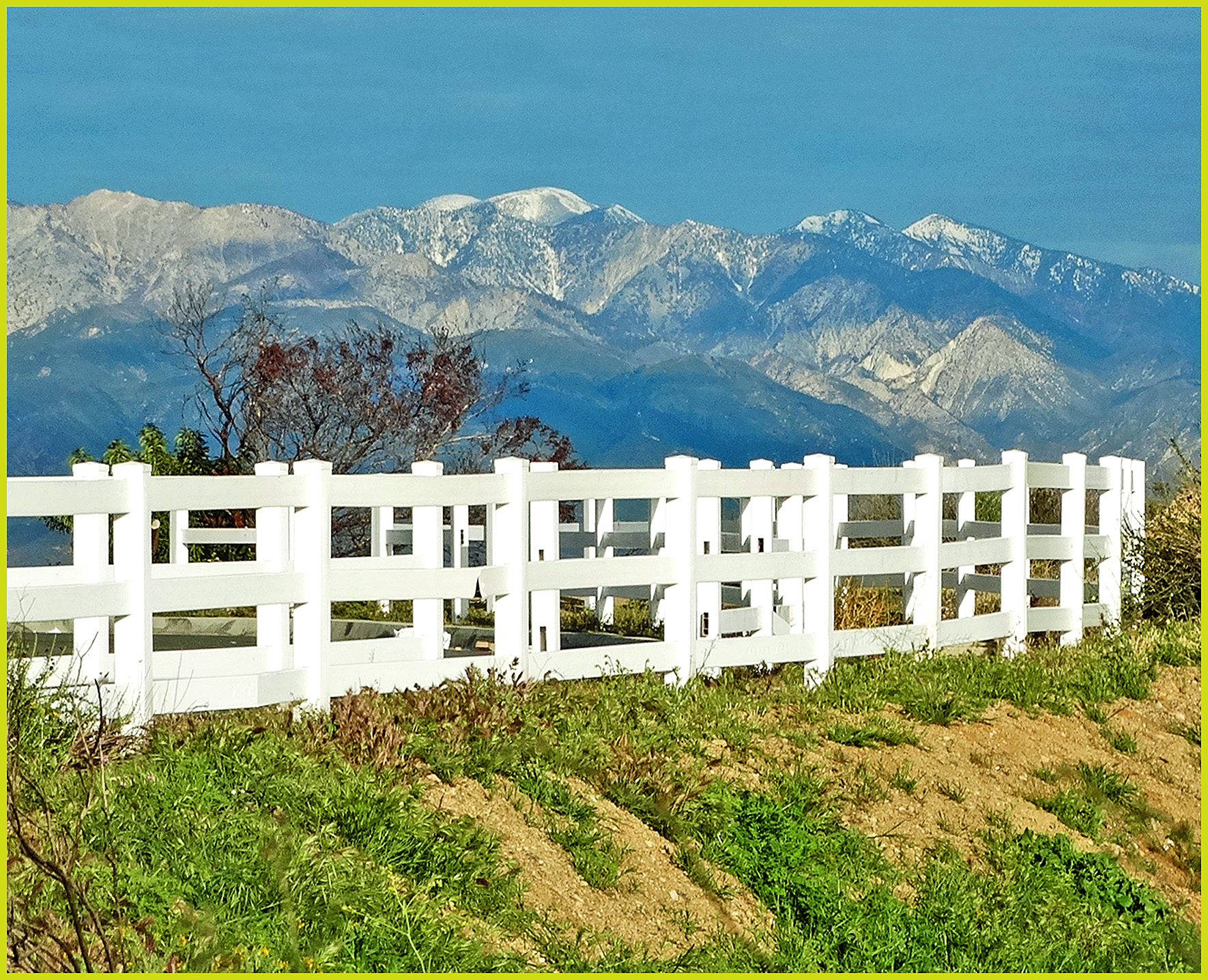
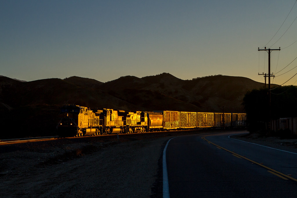
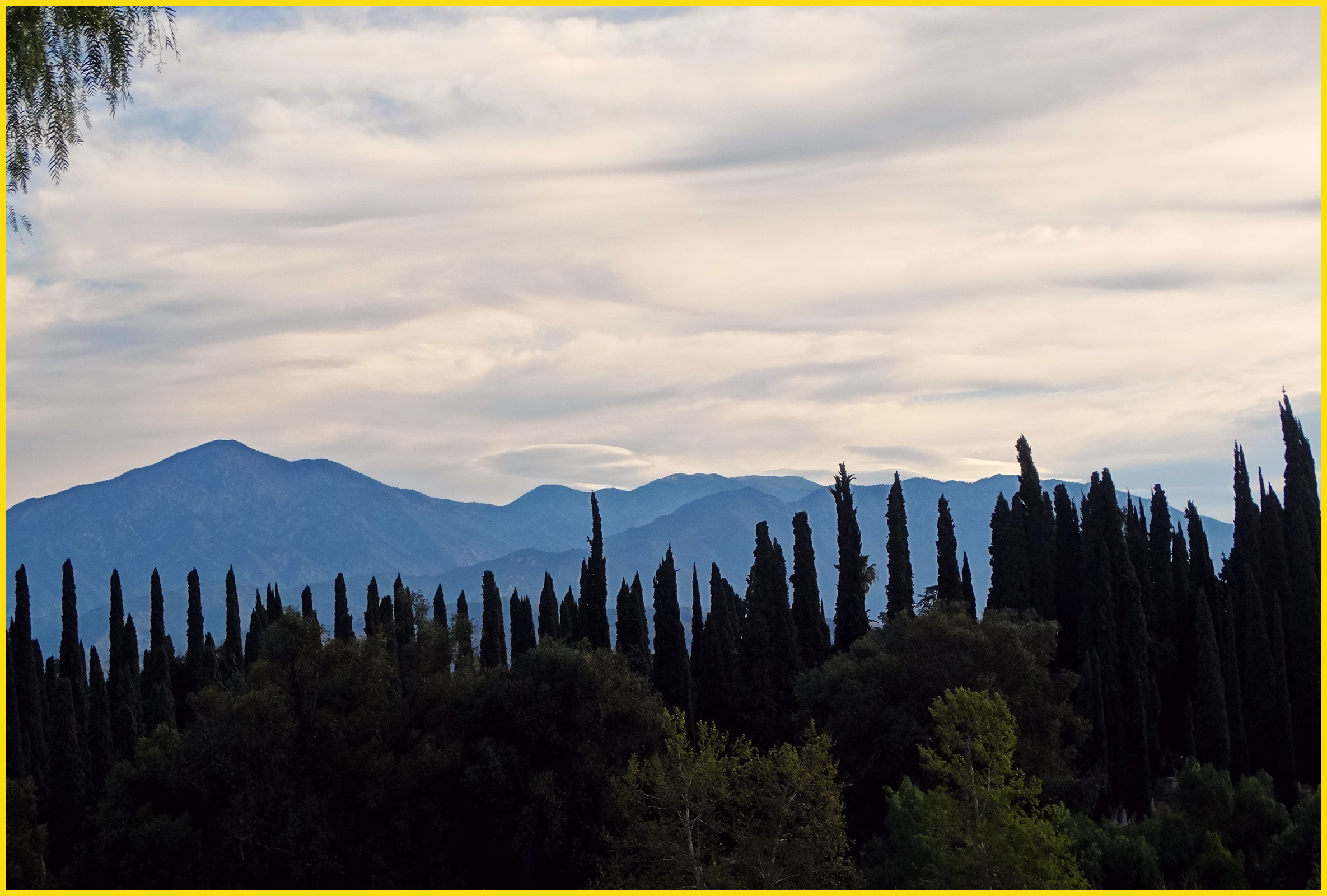
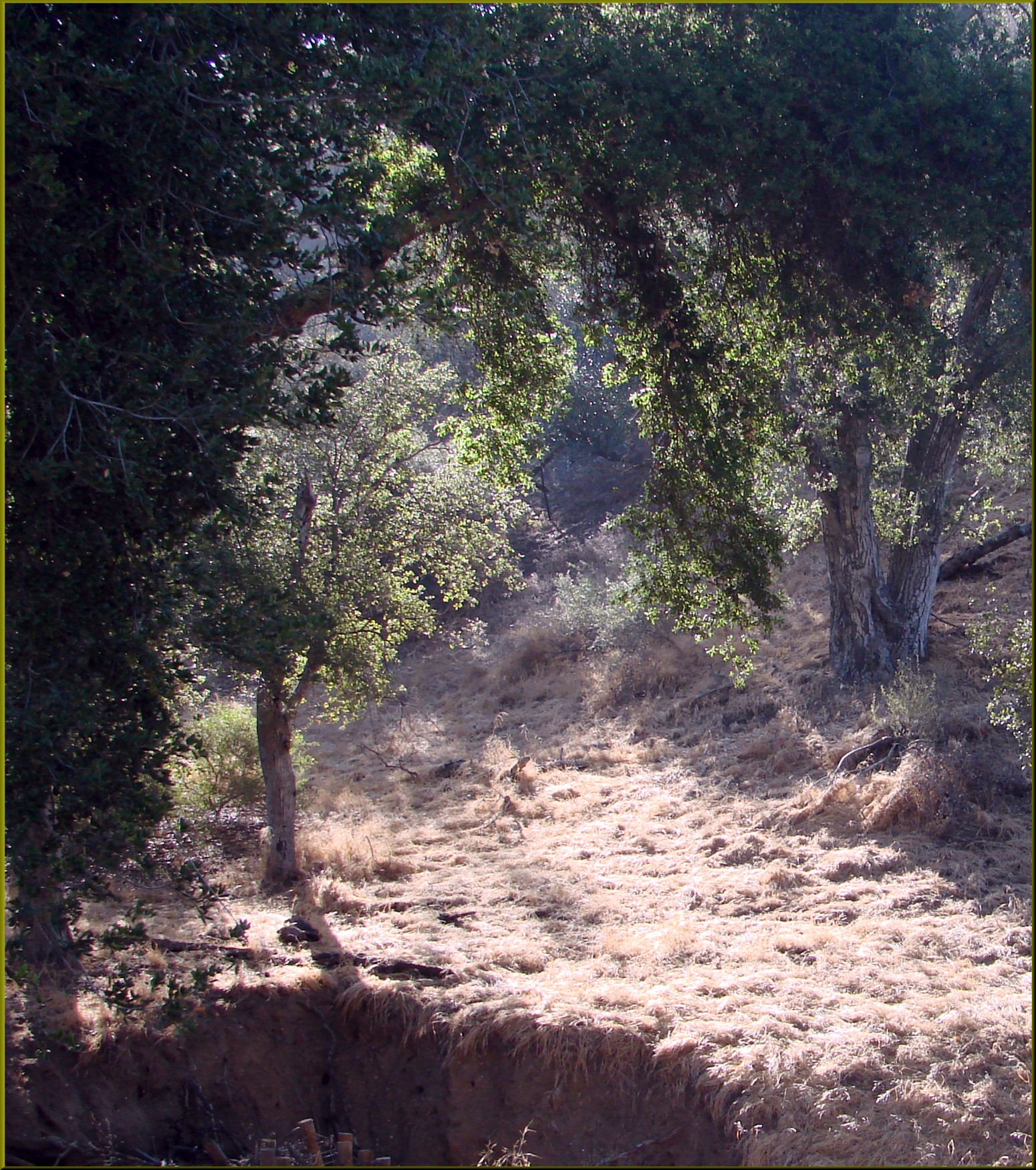
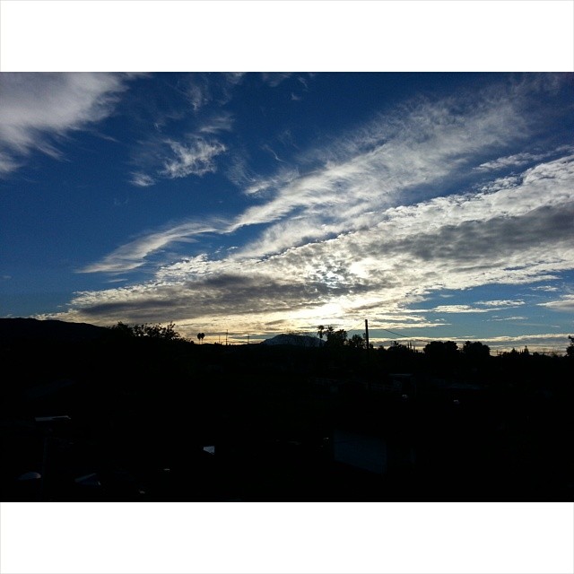
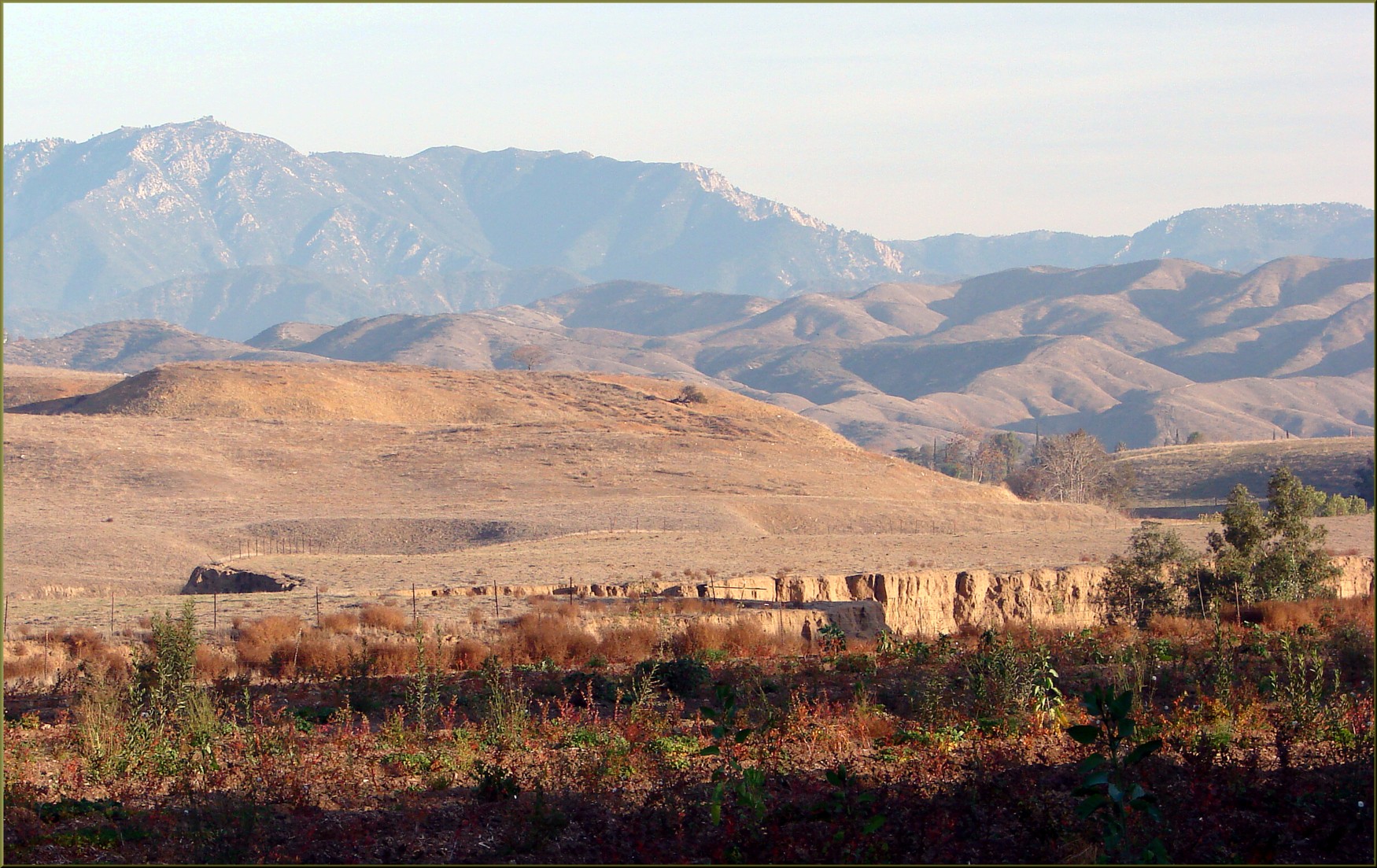
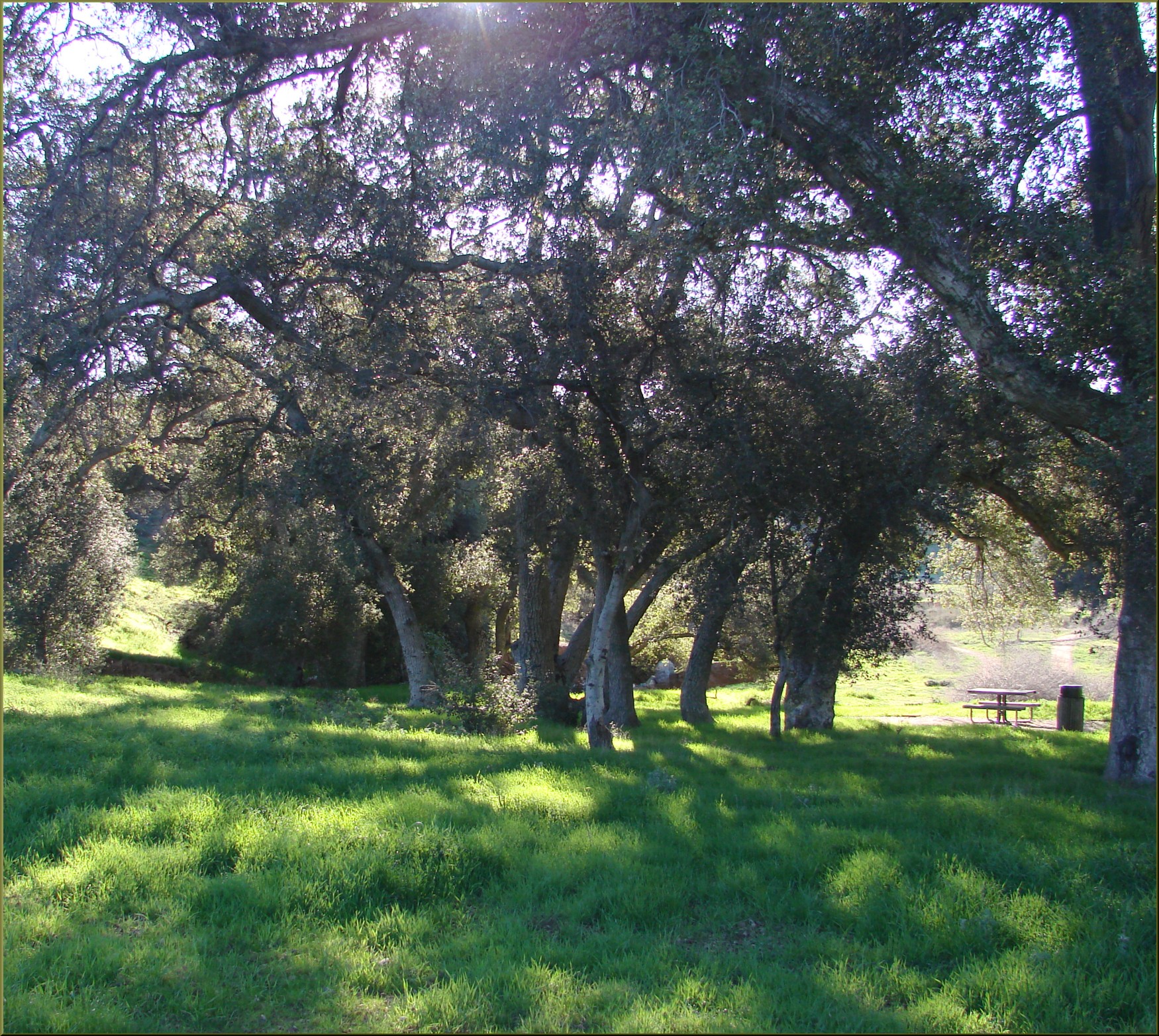
日出日落照片

Twilight Rocks and Stream

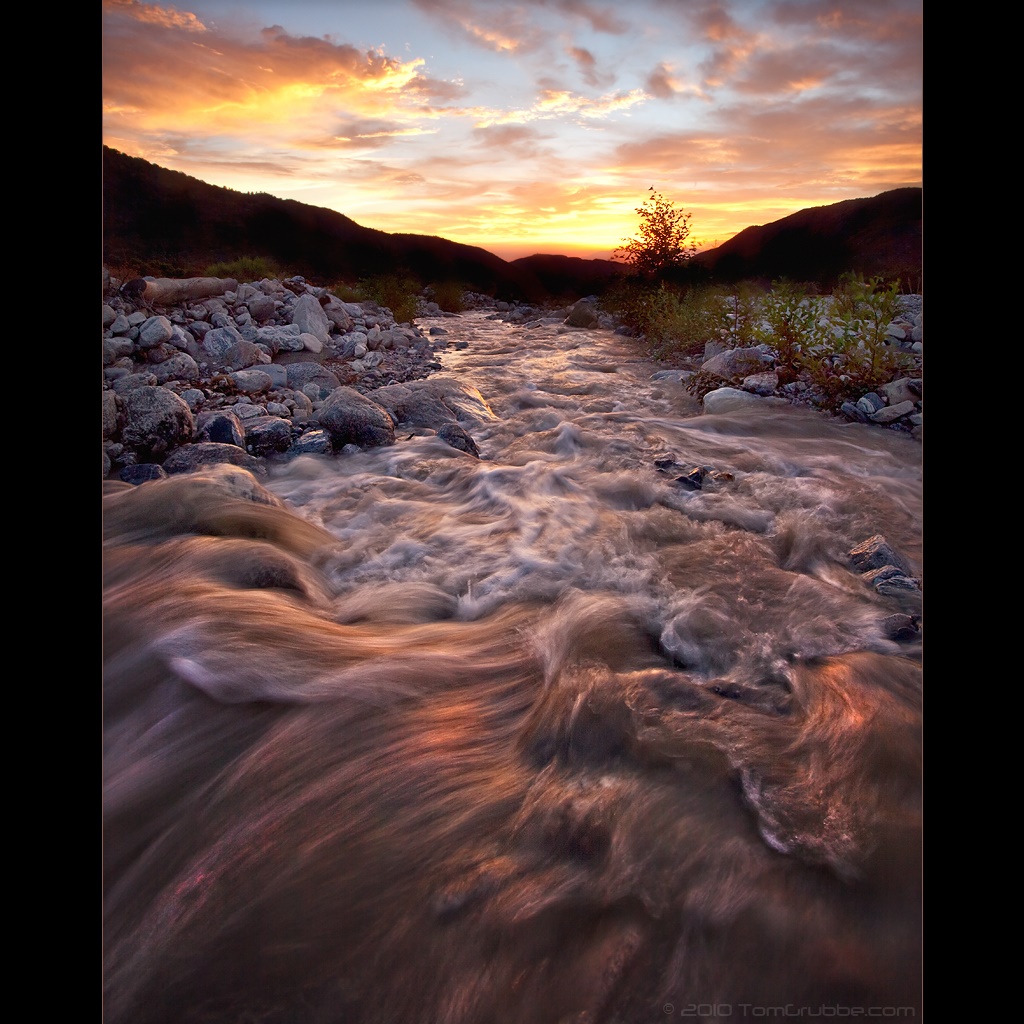
Sunset Valley I
Sunset Melody

Mill Creek and Storm III
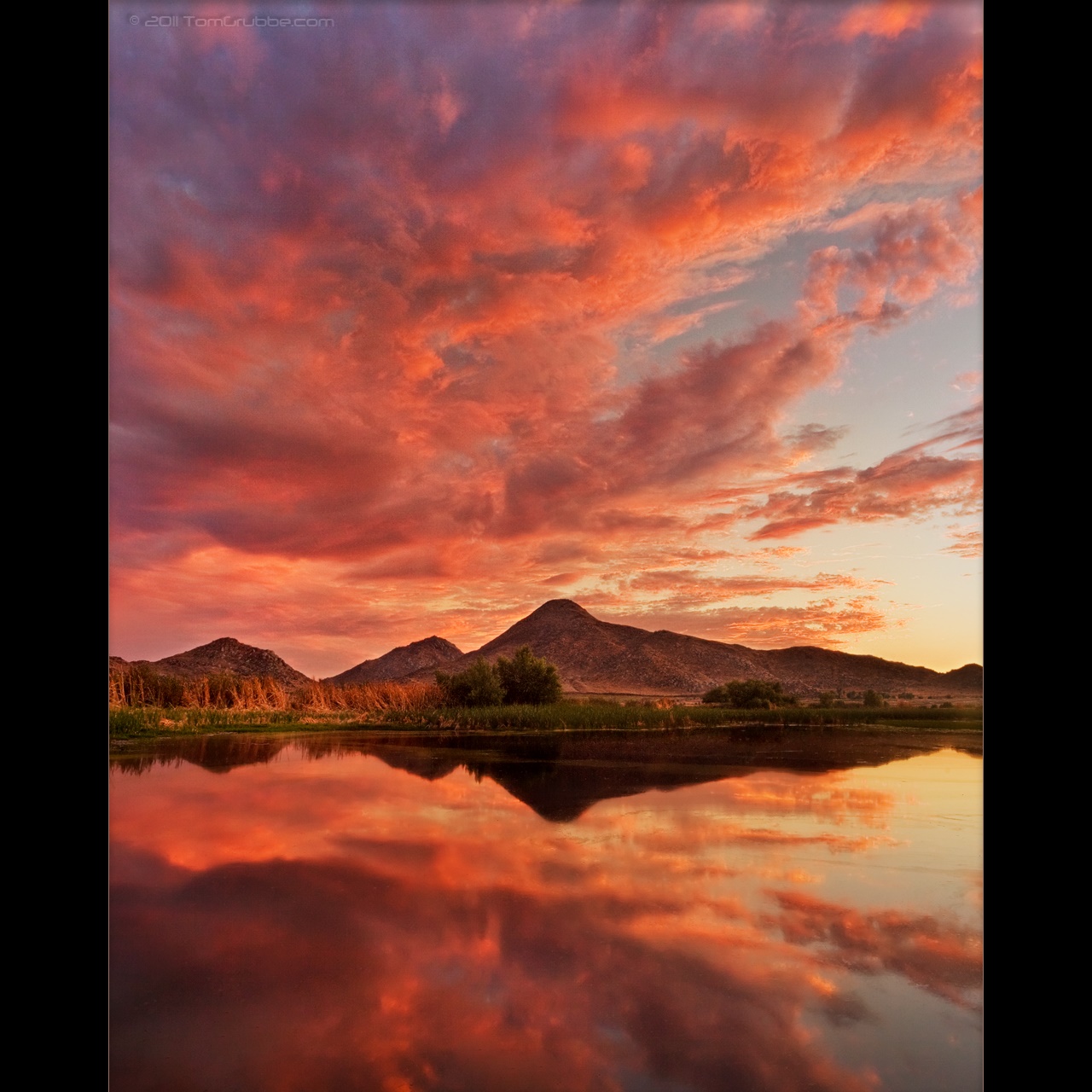
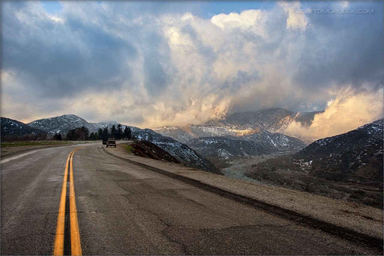
A Storm's Reward
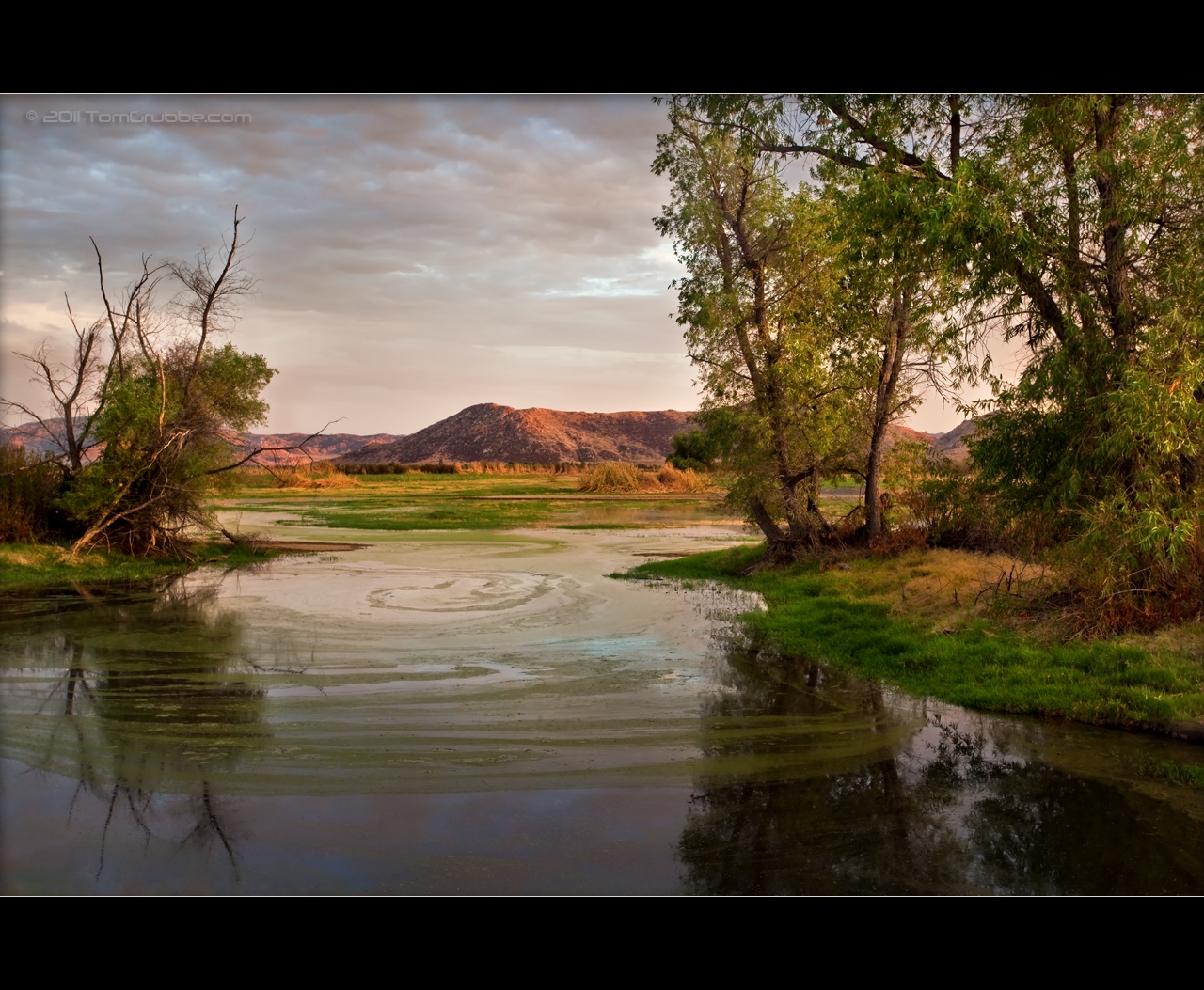
September Pond

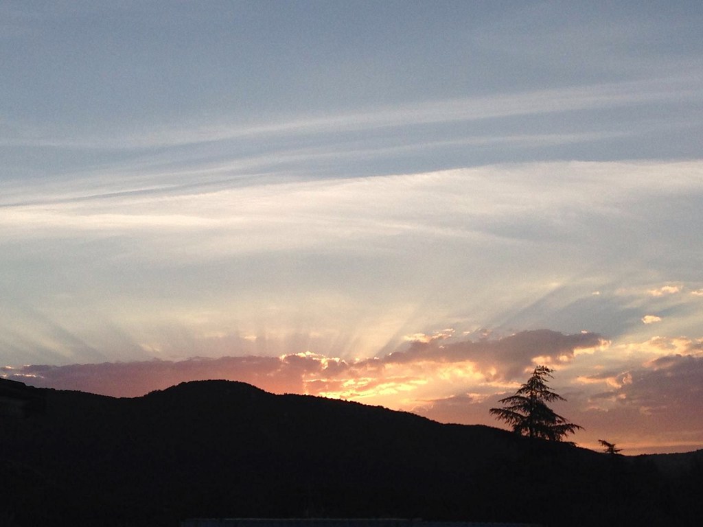
Mill Creek Storm Sunset

UP 8445
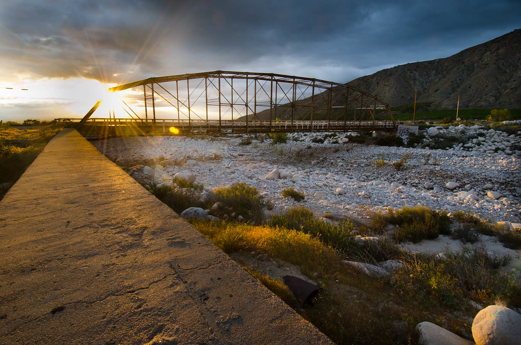
Bridge at Sunset
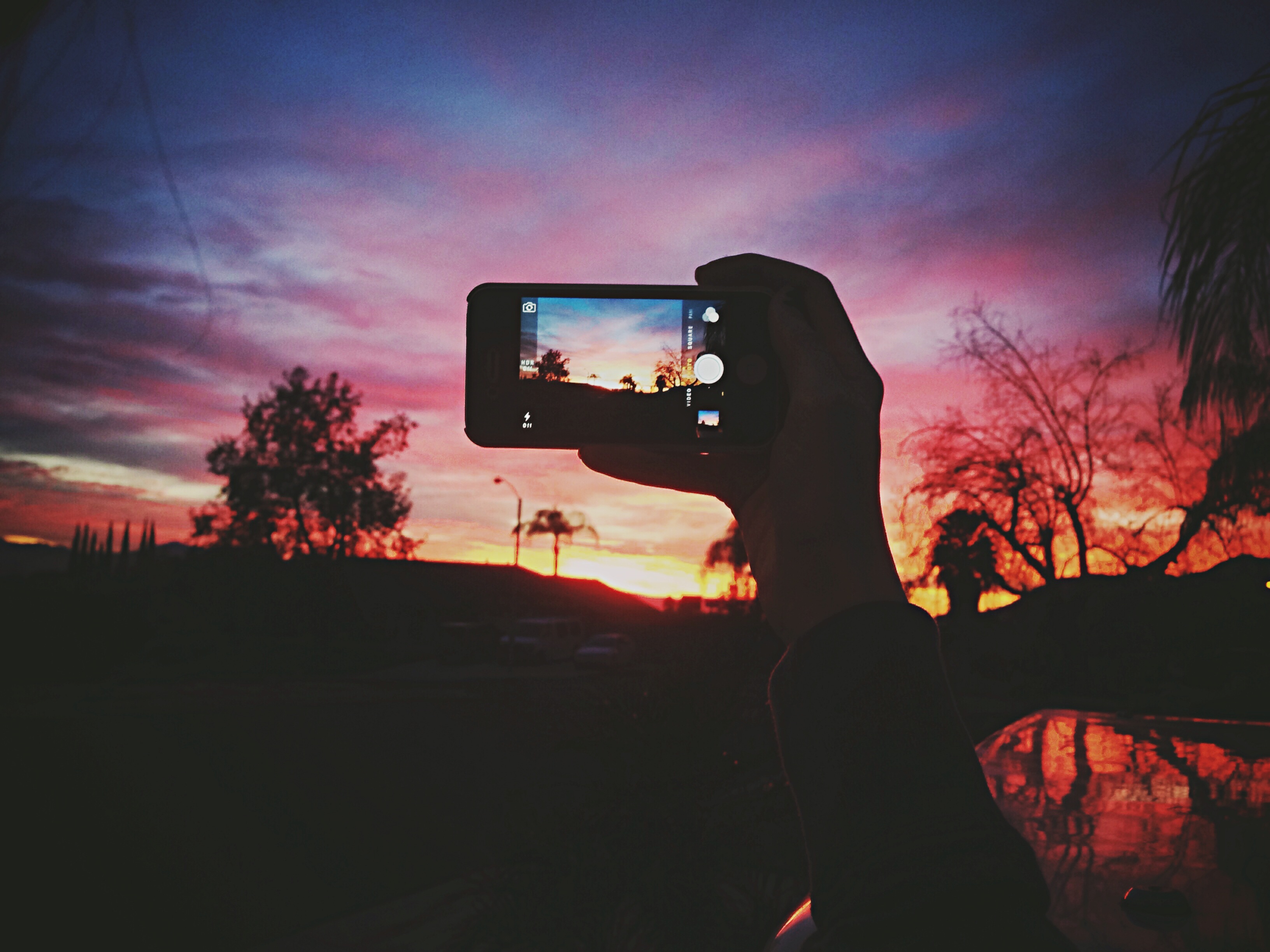
Gf taking a pic of the sunset
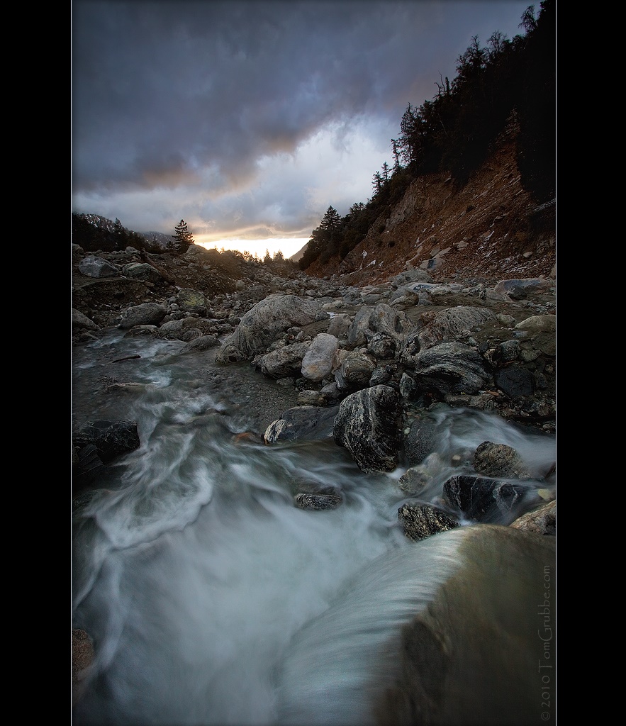
Mill Creek and Storm II
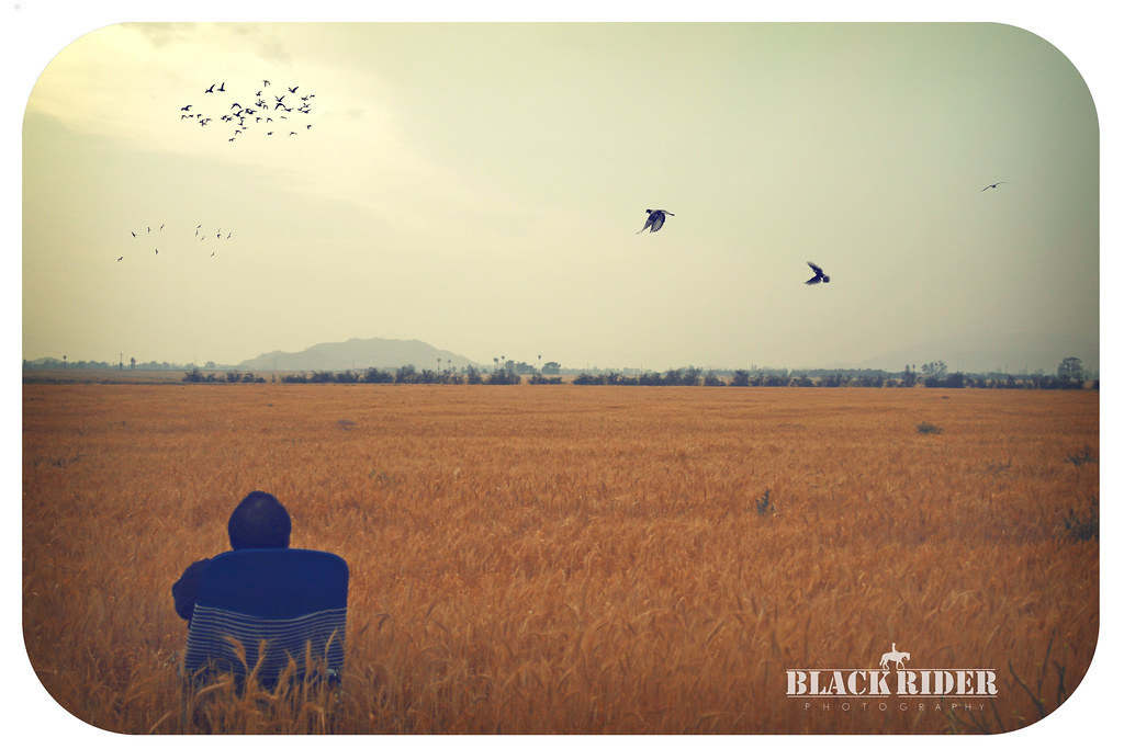
Day 347/365: I know I'm going where the sun always shines (explored #328 on June 8, 2009)
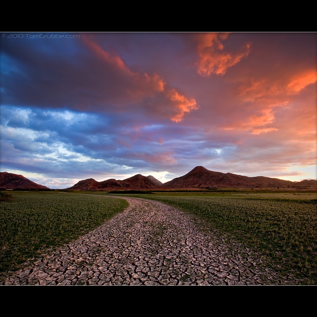
Mill Creek Heat
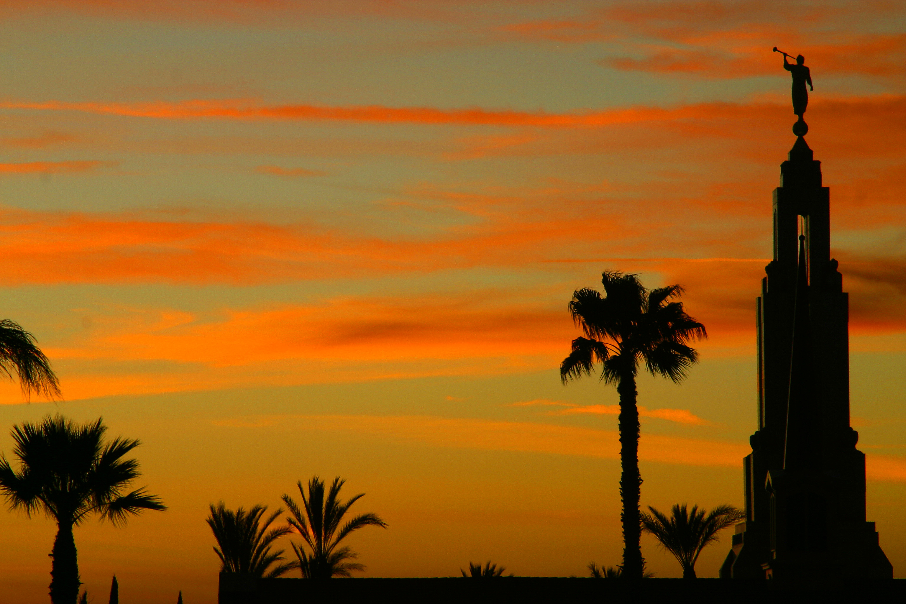
LDS Temple, Redlands

Redlands Light Trails at Dusk
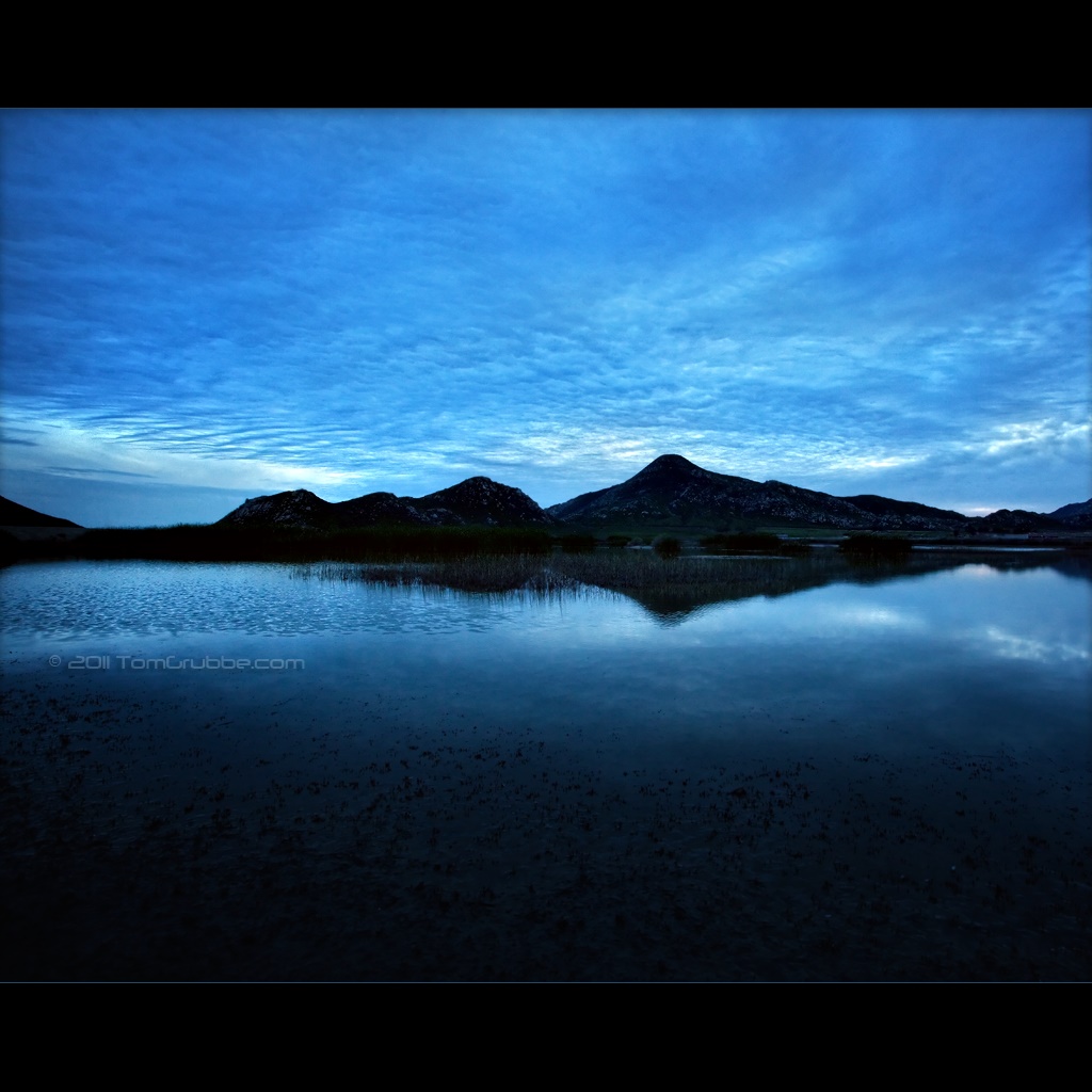
Twilight Hills

Jan 5 - Branching Silhouette
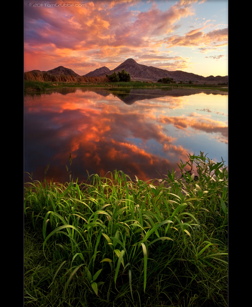
Sunset Melody II

The Hard Side of Charli
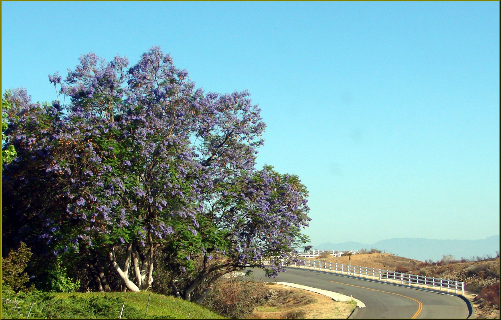
Banning Road

DSC02676 4
Mt. Baldy from Panorama Pt 3-9-14f

Social Gathering, Ford Park, Redlands, CA 8-12
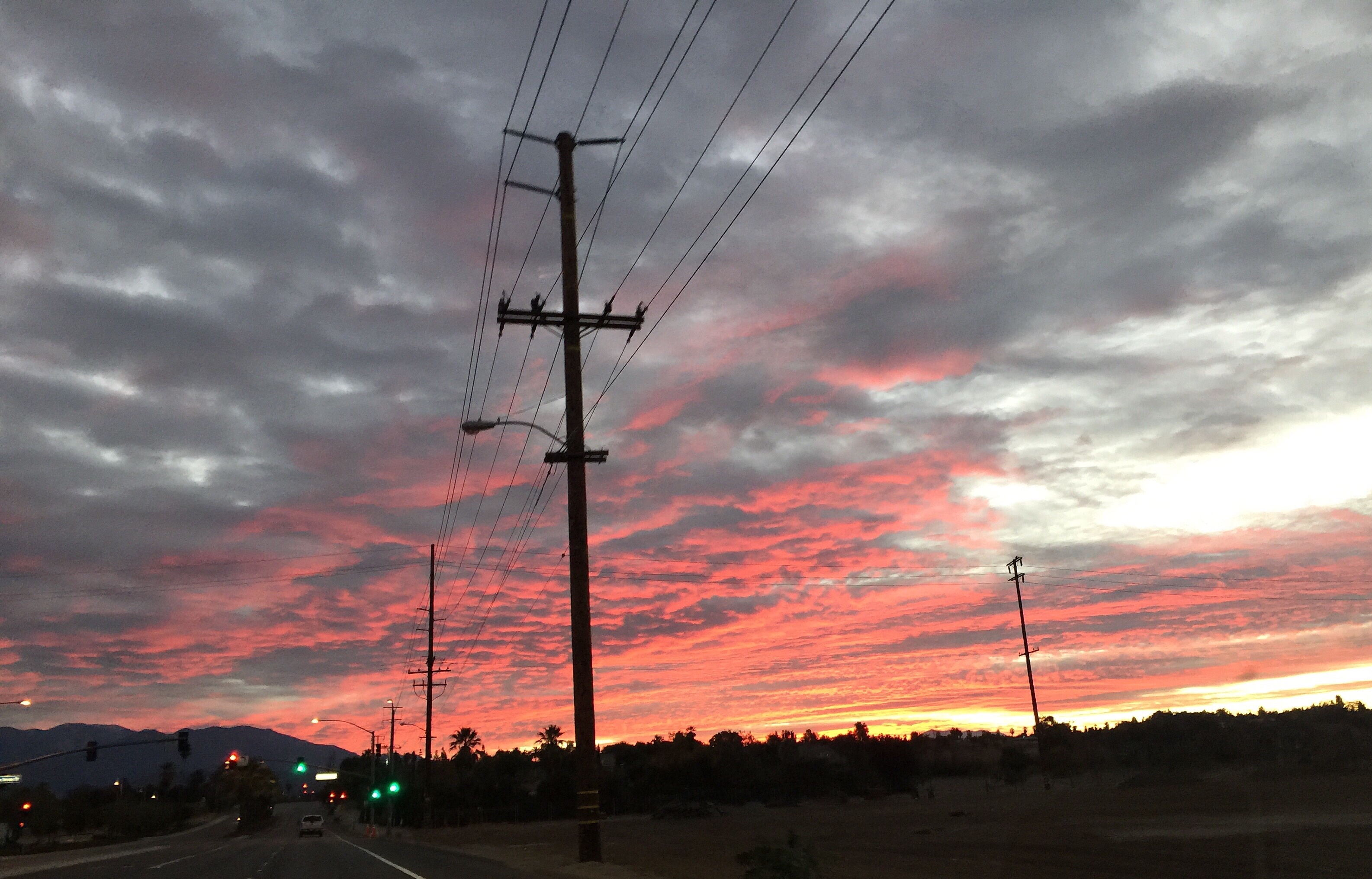
Beaumont Sunrise
Clouds Over Mountains 2-16-14
Morning Sun, Oakmont Park 6-16-13

Live Oak Farms, Wagon 12-9-12

Living Large, Canyon View, Redlands 5-19-13

Wildflower Trail, Live Oak Canyon 6-16-13

Panorama, Live Oak Canyon 6-16-13
Morning Sunrise #MorningSunrise #Sunrise #AmateurPhotographer #AmateurPhotography #BOBthePhotography
Sunrise, Live Oak Wash 12-9-12
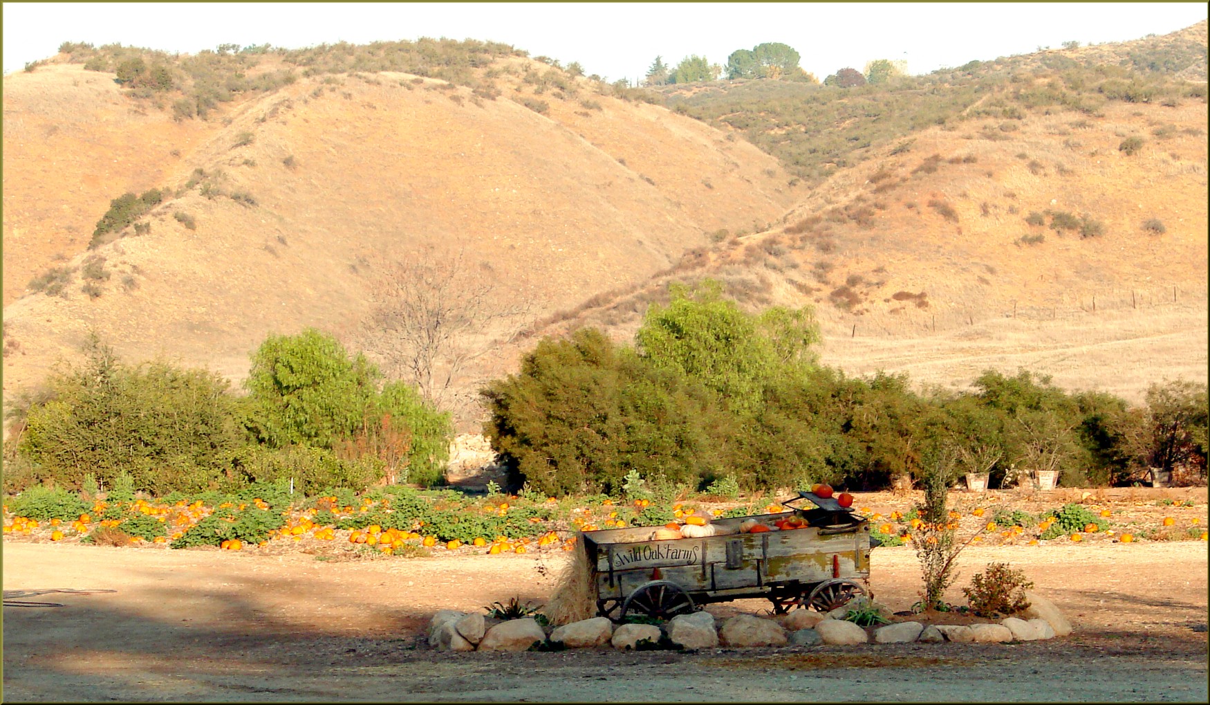
Live Oak Farms, Pumpkins 12-9-12a
Oakmont Park, Shadows 2-17-13
August Sunrise
Panorama Point, Redlands 6-15-13
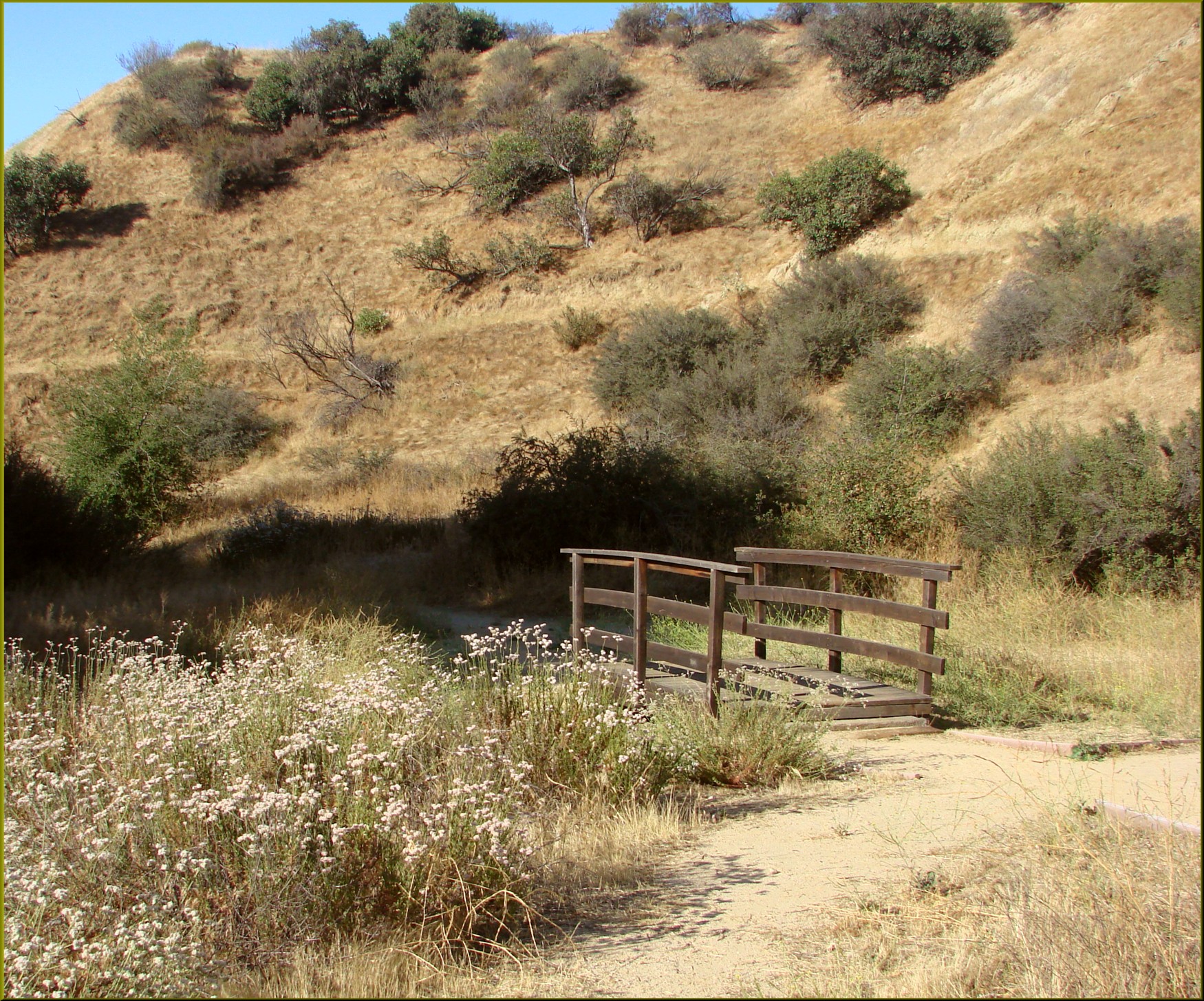
Bridge, Oakmont Park 6-16-13
Urban Sunrise

U of R Chapel, Redlands 2-23-14a

Saturday's #sunrise at the summit of Mt. San Jacinto, near Palm Springs, Southern California's second-highest peak at 10,834 feet. We took the easiest route, 11-miles round trip from the aerial tramway station at 8,500 feet, starting at 3am from Round Val

A Moval Sunrise
good morning! #sunrise #redlands #trees #igersredlands #sun #morning #running #instagram #iphoneonly
Calimesa, CA, 美國的地圖
搜索其他地方的日出日落時間
Calimesa, CA, 美國的其他地方
附近地點
W County Line Rd, Calimesa, CA 美國
County Line Rd, Yucaipa, CA 美國
Ave H, Yucaipa, CA 美國
Ave H, Yucaipa, CA 美國
W Ave L, Calimesa, CA 美國
California St, Calimesa, CA 美國
Vickey Way, Yucaipa, CA 美國
California St, Calimesa, CA 美國
California St, Calimesa, CA 美國
Colonial Dr, Calimesa, CA 美國
San Pablo Dr, Yucaipa, CA 美國
E Avenue L, Calimesa, CA 美國
Fox Ln, Calimesa, CA 美國
Bryant St, Calimesa, CA 美國
35 Country Club Dr, Calimesa, CA 美國
E Avenue L, Calimesa, CA 美國
San Lucas Dr, Yucaipa, CA 美國
Bryant St, Yucaipa, CA 美國
Sharondale Rd, Calimesa, CA 美國
E Avenue L, Calimesa, CA 美國East Avenue L
最近搜索
- Leguwa 尼泊爾的日出日落時間表
- Shustino, Vladimir Oblast, 俄羅斯的日出日落時間表
- Lampiasi St, Sarasota, FL 美國的日出日落時間表
- 日本〒- Toyama, Kubomotomachi, 12−31 APAガーデンコート稲荷的日出日落時間表
- 台灣宜蘭縣大同鄉加羅湖的日出日落時間表
- 日本〒- 愛媛縣今治市 Sekizenoge大下港的日出日落時間表
- -1 Sekizenōge, Imabari, Ehime -日本Oge port Ferry Terminal的日出日落時間表
- 阿根廷布宜諾斯艾利斯聖特爾莫區的日出日落時間表
- Congressional Dr, Stevensville, MD 美國的日出日落時間表
- Papingo 04希臘的日出日落時間表