Bohlen Rd, Anza, CA 美國的日出日落時間表
Location: 美國 > 加利福尼亞州 > 河濱縣 > CA 美國 >
時區:
America/Los_Angeles
當地時間:
2024-04-27 07:51:17
經度:
-116.6566478
緯度:
33.5797429
今天日出時間:
06:01:03 AM
今天日落時間:
07:27:11 PM
今天日照時長:
13h 26m 8s
明天日出時間:
06:00:01 AM
明天日落時間:
07:27:57 PM
明天日照時長:
13h 27m 56s
顯示所有日期
| 日期 | 日出 | 日落 | 日照時長 |
|---|---|---|---|
| 2024年01月01日 | 06:51:04 AM | 04:49:55 PM | 9h 58m 51s |
| 2024年01月02日 | 06:51:14 AM | 04:50:41 PM | 9h 59m 27s |
| 2024年01月03日 | 06:51:22 AM | 04:51:28 PM | 10h 0m 6s |
| 2024年01月04日 | 06:51:28 AM | 04:52:15 PM | 10h 0m 47s |
| 2024年01月05日 | 06:51:33 AM | 04:53:04 PM | 10h 1m 31s |
| 2024年01月06日 | 06:51:35 AM | 04:53:54 PM | 10h 2m 19s |
| 2024年01月07日 | 06:51:36 AM | 04:54:44 PM | 10h 3m 8s |
| 2024年01月08日 | 06:51:35 AM | 04:55:36 PM | 10h 4m 1s |
| 2024年01月09日 | 06:51:32 AM | 04:56:28 PM | 10h 4m 56s |
| 2024年01月10日 | 06:51:28 AM | 04:57:21 PM | 10h 5m 53s |
| 2024年01月11日 | 06:51:21 AM | 04:58:14 PM | 10h 6m 53s |
| 2024年01月12日 | 06:51:13 AM | 04:59:08 PM | 10h 7m 55s |
| 2024年01月13日 | 06:51:02 AM | 05:00:03 PM | 10h 9m 1s |
| 2024年01月14日 | 06:50:50 AM | 05:00:58 PM | 10h 10m 8s |
| 2024年01月15日 | 06:50:36 AM | 05:01:54 PM | 10h 11m 18s |
| 2024年01月16日 | 06:50:21 AM | 05:02:50 PM | 10h 12m 29s |
| 2024年01月17日 | 06:50:03 AM | 05:03:47 PM | 10h 13m 44s |
| 2024年01月18日 | 06:49:44 AM | 05:04:44 PM | 10h 15m 0s |
| 2024年01月19日 | 06:49:23 AM | 05:05:41 PM | 10h 16m 18s |
| 2024年01月20日 | 06:49:00 AM | 05:06:38 PM | 10h 17m 38s |
| 2024年01月21日 | 06:48:35 AM | 05:07:36 PM | 10h 19m 1s |
| 2024年01月22日 | 06:48:09 AM | 05:08:34 PM | 10h 20m 25s |
| 2024年01月23日 | 06:47:41 AM | 05:09:32 PM | 10h 21m 51s |
| 2024年01月24日 | 06:47:11 AM | 05:10:31 PM | 10h 23m 20s |
| 2024年01月25日 | 06:46:39 AM | 05:11:29 PM | 10h 24m 50s |
| 2024年01月26日 | 06:46:06 AM | 05:12:27 PM | 10h 26m 21s |
| 2024年01月27日 | 06:45:31 AM | 05:13:26 PM | 10h 27m 55s |
| 2024年01月28日 | 06:44:55 AM | 05:14:24 PM | 10h 29m 29s |
| 2024年01月29日 | 06:44:17 AM | 05:15:23 PM | 10h 31m 6s |
| 2024年01月30日 | 06:43:37 AM | 05:16:21 PM | 10h 32m 44s |
| 2024年01月31日 | 06:42:56 AM | 05:17:19 PM | 10h 34m 23s |
| 2024年02月01日 | 06:42:14 AM | 05:18:17 PM | 10h 36m 3s |
| 2024年02月02日 | 06:41:30 AM | 05:19:15 PM | 10h 37m 45s |
| 2024年02月03日 | 06:40:44 AM | 05:20:13 PM | 10h 39m 29s |
| 2024年02月04日 | 06:39:57 AM | 05:21:11 PM | 10h 41m 14s |
| 2024年02月05日 | 06:39:08 AM | 05:22:08 PM | 10h 43m 0s |
| 2024年02月06日 | 06:38:19 AM | 05:23:06 PM | 10h 44m 47s |
| 2024年02月07日 | 06:37:27 AM | 05:24:03 PM | 10h 46m 36s |
| 2024年02月08日 | 06:36:35 AM | 05:24:59 PM | 10h 48m 24s |
| 2024年02月09日 | 06:35:41 AM | 05:25:56 PM | 10h 50m 15s |
| 2024年02月10日 | 06:34:46 AM | 05:26:52 PM | 10h 52m 6s |
| 2024年02月11日 | 06:33:50 AM | 05:27:48 PM | 10h 53m 58s |
| 2024年02月12日 | 06:32:52 AM | 05:28:44 PM | 10h 55m 52s |
| 2024年02月13日 | 06:31:54 AM | 05:29:39 PM | 10h 57m 45s |
| 2024年02月14日 | 06:30:54 AM | 05:30:34 PM | 10h 59m 40s |
| 2024年02月15日 | 06:29:53 AM | 05:31:28 PM | 11h 1m 35s |
| 2024年02月16日 | 06:28:51 AM | 05:32:23 PM | 11h 3m 32s |
| 2024年02月17日 | 06:27:47 AM | 05:33:17 PM | 11h 5m 30s |
| 2024年02月18日 | 06:26:43 AM | 05:34:10 PM | 11h 7m 27s |
| 2024年02月19日 | 06:25:38 AM | 05:35:04 PM | 11h 9m 26s |
| 2024年02月20日 | 06:24:32 AM | 05:35:57 PM | 11h 11m 25s |
| 2024年02月21日 | 06:23:25 AM | 05:36:49 PM | 11h 13m 24s |
| 2024年02月22日 | 06:22:17 AM | 05:37:41 PM | 11h 15m 24s |
| 2024年02月23日 | 06:21:08 AM | 05:38:33 PM | 11h 17m 25s |
| 2024年02月24日 | 06:19:59 AM | 05:39:25 PM | 11h 19m 26s |
| 2024年02月25日 | 06:18:48 AM | 05:40:16 PM | 11h 21m 28s |
| 2024年02月26日 | 06:17:37 AM | 05:41:07 PM | 11h 23m 30s |
| 2024年02月27日 | 06:16:25 AM | 05:41:57 PM | 11h 25m 32s |
| 2024年02月28日 | 06:15:12 AM | 05:42:47 PM | 11h 27m 35s |
| 2024年02月29日 | 06:13:59 AM | 05:43:37 PM | 11h 29m 38s |
| 2024年03月01日 | 06:12:45 AM | 05:44:27 PM | 11h 31m 42s |
| 2024年03月02日 | 06:11:30 AM | 05:45:16 PM | 11h 33m 46s |
| 2024年03月03日 | 06:10:15 AM | 05:46:05 PM | 11h 35m 50s |
| 2024年03月04日 | 06:08:59 AM | 05:46:53 PM | 11h 37m 54s |
| 2024年03月05日 | 06:07:43 AM | 05:47:42 PM | 11h 39m 59s |
| 2024年03月06日 | 06:06:26 AM | 05:48:30 PM | 11h 42m 4s |
| 2024年03月07日 | 06:05:08 AM | 05:49:17 PM | 11h 44m 9s |
| 2024年03月08日 | 06:03:51 AM | 05:50:05 PM | 11h 46m 14s |
| 2024年03月09日 | 06:02:32 AM | 05:50:52 PM | 11h 48m 20s |
| 2024年03月10日 | 07:01:17 AM | 06:51:37 PM | 11h 50m 20s |
| 2024年03月11日 | 06:59:58 AM | 06:52:24 PM | 11h 52m 26s |
| 2024年03月12日 | 06:58:39 AM | 06:53:10 PM | 11h 54m 31s |
| 2024年03月13日 | 06:57:19 AM | 06:53:56 PM | 11h 56m 37s |
| 2024年03月14日 | 06:56:00 AM | 06:54:42 PM | 11h 58m 42s |
| 2024年03月15日 | 06:54:40 AM | 06:55:28 PM | 12h 0m 48s |
| 2024年03月16日 | 06:53:19 AM | 06:56:14 PM | 12h 2m 55s |
| 2024年03月17日 | 06:51:59 AM | 06:57:00 PM | 12h 5m 1s |
| 2024年03月18日 | 06:50:38 AM | 06:57:45 PM | 12h 7m 7s |
| 2024年03月19日 | 06:49:18 AM | 06:58:30 PM | 12h 9m 12s |
| 2024年03月20日 | 06:47:57 AM | 06:59:15 PM | 12h 11m 18s |
| 2024年03月21日 | 06:46:36 AM | 07:00:00 PM | 12h 13m 24s |
| 2024年03月22日 | 06:45:15 AM | 07:00:45 PM | 12h 15m 30s |
| 2024年03月23日 | 06:43:54 AM | 07:01:30 PM | 12h 17m 36s |
| 2024年03月24日 | 06:42:33 AM | 07:02:14 PM | 12h 19m 41s |
| 2024年03月25日 | 06:41:12 AM | 07:02:59 PM | 12h 21m 47s |
| 2024年03月26日 | 06:39:52 AM | 07:03:43 PM | 12h 23m 51s |
| 2024年03月27日 | 06:38:31 AM | 07:04:28 PM | 12h 25m 57s |
| 2024年03月28日 | 06:37:11 AM | 07:05:12 PM | 12h 28m 1s |
| 2024年03月29日 | 06:35:50 AM | 07:05:57 PM | 12h 30m 7s |
| 2024年03月30日 | 06:34:30 AM | 07:06:41 PM | 12h 32m 11s |
| 2024年03月31日 | 06:33:10 AM | 07:07:25 PM | 12h 34m 15s |
| 2024年04月01日 | 06:31:51 AM | 07:08:10 PM | 12h 36m 19s |
| 2024年04月02日 | 06:30:31 AM | 07:08:54 PM | 12h 38m 23s |
| 2024年04月03日 | 06:29:12 AM | 07:09:38 PM | 12h 40m 26s |
| 2024年04月04日 | 06:27:54 AM | 07:10:23 PM | 12h 42m 29s |
| 2024年04月05日 | 06:26:36 AM | 07:11:07 PM | 12h 44m 31s |
| 2024年04月06日 | 06:25:18 AM | 07:11:52 PM | 12h 46m 34s |
| 2024年04月07日 | 06:24:00 AM | 07:12:36 PM | 12h 48m 36s |
| 2024年04月08日 | 06:22:43 AM | 07:13:21 PM | 12h 50m 38s |
| 2024年04月09日 | 06:21:27 AM | 07:14:05 PM | 12h 52m 38s |
| 2024年04月10日 | 06:20:11 AM | 07:14:50 PM | 12h 54m 39s |
| 2024年04月11日 | 06:18:55 AM | 07:15:34 PM | 12h 56m 39s |
| 2024年04月12日 | 06:17:40 AM | 07:16:19 PM | 12h 58m 39s |
| 2024年04月13日 | 06:16:26 AM | 07:17:04 PM | 13h 0m 38s |
| 2024年04月14日 | 06:15:12 AM | 07:17:49 PM | 13h 2m 37s |
| 2024年04月15日 | 06:13:59 AM | 07:18:34 PM | 13h 4m 35s |
| 2024年04月16日 | 06:12:47 AM | 07:19:19 PM | 13h 6m 32s |
| 2024年04月17日 | 06:11:35 AM | 07:20:04 PM | 13h 8m 29s |
| 2024年04月18日 | 06:10:24 AM | 07:20:49 PM | 13h 10m 25s |
| 2024年04月19日 | 06:09:14 AM | 07:21:35 PM | 13h 12m 21s |
| 2024年04月20日 | 06:08:05 AM | 07:22:20 PM | 13h 14m 15s |
| 2024年04月21日 | 06:06:56 AM | 07:23:06 PM | 13h 16m 10s |
| 2024年04月22日 | 06:05:49 AM | 07:23:51 PM | 13h 18m 2s |
| 2024年04月23日 | 06:04:42 AM | 07:24:37 PM | 13h 19m 55s |
| 2024年04月24日 | 06:03:36 AM | 07:25:22 PM | 13h 21m 46s |
| 2024年04月25日 | 06:02:31 AM | 07:26:08 PM | 13h 23m 37s |
| 2024年04月26日 | 06:01:27 AM | 07:26:54 PM | 13h 25m 27s |
| 2024年04月27日 | 06:00:24 AM | 07:27:40 PM | 13h 27m 16s |
| 2024年04月28日 | 05:59:22 AM | 07:28:25 PM | 13h 29m 3s |
| 2024年04月29日 | 05:58:21 AM | 07:29:11 PM | 13h 30m 50s |
| 2024年04月30日 | 05:57:21 AM | 07:29:57 PM | 13h 32m 36s |
| 2024年05月01日 | 05:56:22 AM | 07:30:43 PM | 13h 34m 21s |
| 2024年05月02日 | 05:55:25 AM | 07:31:29 PM | 13h 36m 4s |
| 2024年05月03日 | 05:54:28 AM | 07:32:14 PM | 13h 37m 46s |
| 2024年05月04日 | 05:53:33 AM | 07:33:00 PM | 13h 39m 27s |
| 2024年05月05日 | 05:52:39 AM | 07:33:46 PM | 13h 41m 7s |
| 2024年05月06日 | 05:51:46 AM | 07:34:32 PM | 13h 42m 46s |
| 2024年05月07日 | 05:50:54 AM | 07:35:17 PM | 13h 44m 23s |
| 2024年05月08日 | 05:50:03 AM | 07:36:02 PM | 13h 45m 59s |
| 2024年05月09日 | 05:49:14 AM | 07:36:48 PM | 13h 47m 34s |
| 2024年05月10日 | 05:48:26 AM | 07:37:33 PM | 13h 49m 7s |
| 2024年05月11日 | 05:47:40 AM | 07:38:18 PM | 13h 50m 38s |
| 2024年05月12日 | 05:46:54 AM | 07:39:02 PM | 13h 52m 8s |
| 2024年05月13日 | 05:46:11 AM | 07:39:47 PM | 13h 53m 36s |
| 2024年05月14日 | 05:45:28 AM | 07:40:31 PM | 13h 55m 3s |
| 2024年05月15日 | 05:44:47 AM | 07:41:15 PM | 13h 56m 28s |
| 2024年05月16日 | 05:44:07 AM | 07:41:59 PM | 13h 57m 52s |
| 2024年05月17日 | 05:43:29 AM | 07:42:42 PM | 13h 59m 13s |
| 2024年05月18日 | 05:42:52 AM | 07:43:25 PM | 14h 0m 33s |
| 2024年05月19日 | 05:42:17 AM | 07:44:07 PM | 14h 1m 50s |
| 2024年05月20日 | 05:41:43 AM | 07:44:50 PM | 14h 3m 7s |
| 2024年05月21日 | 05:41:11 AM | 07:45:31 PM | 14h 4m 20s |
| 2024年05月22日 | 05:40:40 AM | 07:46:12 PM | 14h 5m 32s |
| 2024年05月23日 | 05:40:11 AM | 07:46:53 PM | 14h 6m 42s |
| 2024年05月24日 | 05:39:43 AM | 07:47:33 PM | 14h 7m 50s |
| 2024年05月25日 | 05:39:17 AM | 07:48:13 PM | 14h 8m 56s |
| 2024年05月26日 | 05:38:52 AM | 07:48:52 PM | 14h 10m 0s |
| 2024年05月27日 | 05:38:29 AM | 07:49:30 PM | 14h 11m 1s |
| 2024年05月28日 | 05:38:08 AM | 07:50:08 PM | 14h 12m 0s |
| 2024年05月29日 | 05:37:48 AM | 07:50:45 PM | 14h 12m 57s |
| 2024年05月30日 | 05:37:30 AM | 07:51:21 PM | 14h 13m 51s |
| 2024年05月31日 | 05:37:13 AM | 07:51:56 PM | 14h 14m 43s |
| 2024年06月01日 | 05:36:58 AM | 07:52:31 PM | 14h 15m 33s |
| 2024年06月02日 | 05:36:44 AM | 07:53:04 PM | 14h 16m 20s |
| 2024年06月03日 | 05:36:32 AM | 07:53:37 PM | 14h 17m 5s |
| 2024年06月04日 | 05:36:22 AM | 07:54:09 PM | 14h 17m 47s |
| 2024年06月05日 | 05:36:13 AM | 07:54:40 PM | 14h 18m 27s |
| 2024年06月06日 | 05:36:06 AM | 07:55:10 PM | 14h 19m 4s |
| 2024年06月07日 | 05:36:00 AM | 07:55:39 PM | 14h 19m 39s |
| 2024年06月08日 | 05:35:56 AM | 07:56:06 PM | 14h 20m 10s |
| 2024年06月09日 | 05:35:53 AM | 07:56:33 PM | 14h 20m 40s |
| 2024年06月10日 | 05:35:52 AM | 07:56:59 PM | 14h 21m 7s |
| 2024年06月11日 | 05:35:53 AM | 07:57:23 PM | 14h 21m 30s |
| 2024年06月12日 | 05:35:54 AM | 07:57:47 PM | 14h 21m 53s |
| 2024年06月13日 | 05:35:58 AM | 07:58:09 PM | 14h 22m 11s |
| 2024年06月14日 | 05:36:03 AM | 07:58:29 PM | 14h 22m 26s |
| 2024年06月15日 | 05:36:09 AM | 07:58:49 PM | 14h 22m 40s |
| 2024年06月16日 | 05:36:17 AM | 07:59:07 PM | 14h 22m 50s |
| 2024年06月17日 | 05:36:26 AM | 07:59:24 PM | 14h 22m 58s |
| 2024年06月18日 | 05:36:37 AM | 07:59:39 PM | 14h 23m 2s |
| 2024年06月19日 | 05:36:49 AM | 07:59:54 PM | 14h 23m 5s |
| 2024年06月20日 | 05:37:03 AM | 08:00:06 PM | 14h 23m 3s |
| 2024年06月21日 | 05:37:17 AM | 08:00:17 PM | 14h 23m 0s |
| 2024年06月22日 | 05:37:33 AM | 08:00:27 PM | 14h 22m 54s |
| 2024年06月23日 | 05:37:51 AM | 08:00:36 PM | 14h 22m 45s |
| 2024年06月24日 | 05:38:09 AM | 08:00:42 PM | 14h 22m 33s |
| 2024年06月25日 | 05:38:29 AM | 08:00:48 PM | 14h 22m 19s |
| 2024年06月26日 | 05:38:50 AM | 08:00:52 PM | 14h 22m 2s |
| 2024年06月27日 | 05:39:12 AM | 08:00:54 PM | 14h 21m 42s |
| 2024年06月28日 | 05:39:36 AM | 08:00:54 PM | 14h 21m 18s |
| 2024年06月29日 | 05:40:00 AM | 08:00:54 PM | 14h 20m 54s |
| 2024年06月30日 | 05:40:25 AM | 08:00:51 PM | 14h 20m 26s |
| 2024年07月01日 | 05:40:52 AM | 08:00:47 PM | 14h 19m 55s |
| 2024年07月02日 | 05:41:19 AM | 08:00:41 PM | 14h 19m 22s |
| 2024年07月03日 | 05:41:48 AM | 08:00:34 PM | 14h 18m 46s |
| 2024年07月04日 | 05:42:17 AM | 08:00:25 PM | 14h 18m 8s |
| 2024年07月05日 | 05:42:48 AM | 08:00:15 PM | 14h 17m 27s |
| 2024年07月06日 | 05:43:19 AM | 08:00:03 PM | 14h 16m 44s |
| 2024年07月07日 | 05:43:51 AM | 07:59:49 PM | 14h 15m 58s |
| 2024年07月08日 | 05:44:24 AM | 07:59:34 PM | 14h 15m 10s |
| 2024年07月09日 | 05:44:57 AM | 07:59:17 PM | 14h 14m 20s |
| 2024年07月10日 | 05:45:32 AM | 07:58:58 PM | 14h 13m 26s |
| 2024年07月11日 | 05:46:07 AM | 07:58:38 PM | 14h 12m 31s |
| 2024年07月12日 | 05:46:42 AM | 07:58:16 PM | 14h 11m 34s |
| 2024年07月13日 | 05:47:19 AM | 07:57:52 PM | 14h 10m 33s |
| 2024年07月14日 | 05:47:56 AM | 07:57:27 PM | 14h 9m 31s |
| 2024年07月15日 | 05:48:33 AM | 07:57:01 PM | 14h 8m 28s |
| 2024年07月16日 | 05:49:11 AM | 07:56:32 PM | 14h 7m 21s |
| 2024年07月17日 | 05:49:50 AM | 07:56:03 PM | 14h 6m 13s |
| 2024年07月18日 | 05:50:29 AM | 07:55:31 PM | 14h 5m 2s |
| 2024年07月19日 | 05:51:08 AM | 07:54:58 PM | 14h 3m 50s |
| 2024年07月20日 | 05:51:48 AM | 07:54:24 PM | 14h 2m 36s |
| 2024年07月21日 | 05:52:28 AM | 07:53:48 PM | 14h 1m 20s |
| 2024年07月22日 | 05:53:08 AM | 07:53:11 PM | 14h 0m 3s |
| 2024年07月23日 | 05:53:49 AM | 07:52:32 PM | 13h 58m 43s |
| 2024年07月24日 | 05:54:30 AM | 07:51:51 PM | 13h 57m 21s |
| 2024年07月25日 | 05:55:12 AM | 07:51:09 PM | 13h 55m 57s |
| 2024年07月26日 | 05:55:53 AM | 07:50:26 PM | 13h 54m 33s |
| 2024年07月27日 | 05:56:35 AM | 07:49:41 PM | 13h 53m 6s |
| 2024年07月28日 | 05:57:17 AM | 07:48:55 PM | 13h 51m 38s |
| 2024年07月29日 | 05:57:59 AM | 07:48:08 PM | 13h 50m 9s |
| 2024年07月30日 | 05:58:41 AM | 07:47:19 PM | 13h 48m 38s |
| 2024年07月31日 | 05:59:24 AM | 07:46:29 PM | 13h 47m 5s |
| 2024年08月01日 | 06:00:06 AM | 07:45:37 PM | 13h 45m 31s |
| 2024年08月02日 | 06:00:49 AM | 07:44:45 PM | 13h 43m 56s |
| 2024年08月03日 | 06:01:31 AM | 07:43:51 PM | 13h 42m 20s |
| 2024年08月04日 | 06:02:14 AM | 07:42:55 PM | 13h 40m 41s |
| 2024年08月05日 | 06:02:56 AM | 07:41:59 PM | 13h 39m 3s |
| 2024年08月06日 | 06:03:39 AM | 07:41:01 PM | 13h 37m 22s |
| 2024年08月07日 | 06:04:22 AM | 07:40:02 PM | 13h 35m 40s |
| 2024年08月08日 | 06:05:04 AM | 07:39:02 PM | 13h 33m 58s |
| 2024年08月09日 | 06:05:47 AM | 07:38:01 PM | 13h 32m 14s |
| 2024年08月10日 | 06:06:30 AM | 07:36:59 PM | 13h 30m 29s |
| 2024年08月11日 | 06:07:12 AM | 07:35:56 PM | 13h 28m 44s |
| 2024年08月12日 | 06:07:54 AM | 07:34:52 PM | 13h 26m 58s |
| 2024年08月13日 | 06:08:37 AM | 07:33:46 PM | 13h 25m 9s |
| 2024年08月14日 | 06:09:19 AM | 07:32:40 PM | 13h 23m 21s |
| 2024年08月15日 | 06:10:01 AM | 07:31:33 PM | 13h 21m 32s |
| 2024年08月16日 | 06:10:43 AM | 07:30:25 PM | 13h 19m 42s |
| 2024年08月17日 | 06:11:25 AM | 07:29:16 PM | 13h 17m 51s |
| 2024年08月18日 | 06:12:07 AM | 07:28:06 PM | 13h 15m 59s |
| 2024年08月19日 | 06:12:49 AM | 07:26:55 PM | 13h 14m 6s |
| 2024年08月20日 | 06:13:31 AM | 07:25:44 PM | 13h 12m 13s |
| 2024年08月21日 | 06:14:12 AM | 07:24:31 PM | 13h 10m 19s |
| 2024年08月22日 | 06:14:54 AM | 07:23:18 PM | 13h 8m 24s |
| 2024年08月23日 | 06:15:35 AM | 07:22:04 PM | 13h 6m 29s |
| 2024年08月24日 | 06:16:16 AM | 07:20:49 PM | 13h 4m 33s |
| 2024年08月25日 | 06:16:57 AM | 07:19:34 PM | 13h 2m 37s |
| 2024年08月26日 | 06:17:38 AM | 07:18:18 PM | 13h 0m 40s |
| 2024年08月27日 | 06:18:19 AM | 07:17:02 PM | 12h 58m 43s |
| 2024年08月28日 | 06:19:00 AM | 07:15:45 PM | 12h 56m 45s |
| 2024年08月29日 | 06:19:41 AM | 07:14:27 PM | 12h 54m 46s |
| 2024年08月30日 | 06:20:21 AM | 07:13:08 PM | 12h 52m 47s |
| 2024年08月31日 | 06:21:02 AM | 07:11:50 PM | 12h 50m 48s |
| 2024年09月01日 | 06:21:42 AM | 07:10:30 PM | 12h 48m 48s |
| 2024年09月02日 | 06:22:23 AM | 07:09:11 PM | 12h 46m 48s |
| 2024年09月03日 | 06:23:03 AM | 07:07:50 PM | 12h 44m 47s |
| 2024年09月04日 | 06:23:43 AM | 07:06:30 PM | 12h 42m 47s |
| 2024年09月05日 | 06:24:23 AM | 07:05:09 PM | 12h 40m 46s |
| 2024年09月06日 | 06:25:04 AM | 07:03:48 PM | 12h 38m 44s |
| 2024年09月07日 | 06:25:44 AM | 07:02:26 PM | 12h 36m 42s |
| 2024年09月08日 | 06:26:24 AM | 07:01:04 PM | 12h 34m 40s |
| 2024年09月09日 | 06:27:04 AM | 06:59:42 PM | 12h 32m 38s |
| 2024年09月10日 | 06:27:44 AM | 06:58:20 PM | 12h 30m 36s |
| 2024年09月11日 | 06:28:24 AM | 06:56:57 PM | 12h 28m 33s |
| 2024年09月12日 | 06:29:04 AM | 06:55:34 PM | 12h 26m 30s |
| 2024年09月13日 | 06:29:44 AM | 06:54:11 PM | 12h 24m 27s |
| 2024年09月14日 | 06:30:25 AM | 06:52:48 PM | 12h 22m 23s |
| 2024年09月15日 | 06:31:05 AM | 06:51:25 PM | 12h 20m 20s |
| 2024年09月16日 | 06:31:45 AM | 06:50:02 PM | 12h 18m 17s |
| 2024年09月17日 | 06:32:26 AM | 06:48:38 PM | 12h 16m 12s |
| 2024年09月18日 | 06:33:06 AM | 06:47:15 PM | 12h 14m 9s |
| 2024年09月19日 | 06:33:47 AM | 06:45:52 PM | 12h 12m 5s |
| 2024年09月20日 | 06:34:27 AM | 06:44:29 PM | 12h 10m 2s |
| 2024年09月21日 | 06:35:08 AM | 06:43:06 PM | 12h 7m 58s |
| 2024年09月22日 | 06:35:49 AM | 06:41:43 PM | 12h 5m 54s |
| 2024年09月23日 | 06:36:30 AM | 06:40:20 PM | 12h 3m 50s |
| 2024年09月24日 | 06:37:12 AM | 06:38:57 PM | 12h 1m 45s |
| 2024年09月25日 | 06:37:53 AM | 06:37:34 PM | 11h 59m 41s |
| 2024年09月26日 | 06:38:35 AM | 06:36:12 PM | 11h 57m 37s |
| 2024年09月27日 | 06:39:17 AM | 06:34:50 PM | 11h 55m 33s |
| 2024年09月28日 | 06:39:59 AM | 06:33:28 PM | 11h 53m 29s |
| 2024年09月29日 | 06:40:41 AM | 06:32:07 PM | 11h 51m 26s |
| 2024年09月30日 | 06:41:24 AM | 06:30:46 PM | 11h 49m 22s |
| 2024年10月01日 | 06:42:06 AM | 06:29:25 PM | 11h 47m 19s |
| 2024年10月02日 | 06:42:49 AM | 06:28:04 PM | 11h 45m 15s |
| 2024年10月03日 | 06:43:33 AM | 06:26:44 PM | 11h 43m 11s |
| 2024年10月04日 | 06:44:16 AM | 06:25:25 PM | 11h 41m 9s |
| 2024年10月05日 | 06:45:00 AM | 06:24:06 PM | 11h 39m 6s |
| 2024年10月06日 | 06:45:44 AM | 06:22:47 PM | 11h 37m 3s |
| 2024年10月07日 | 06:46:29 AM | 06:21:29 PM | 11h 35m 0s |
| 2024年10月08日 | 06:47:14 AM | 06:20:12 PM | 11h 32m 58s |
| 2024年10月09日 | 06:47:59 AM | 06:18:55 PM | 11h 30m 56s |
| 2024年10月10日 | 06:48:44 AM | 06:17:39 PM | 11h 28m 55s |
| 2024年10月11日 | 06:49:30 AM | 06:16:23 PM | 11h 26m 53s |
| 2024年10月12日 | 06:50:16 AM | 06:15:09 PM | 11h 24m 53s |
| 2024年10月13日 | 06:51:03 AM | 06:13:55 PM | 11h 22m 52s |
| 2024年10月14日 | 06:51:50 AM | 06:12:41 PM | 11h 20m 51s |
| 2024年10月15日 | 06:52:37 AM | 06:11:29 PM | 11h 18m 52s |
| 2024年10月16日 | 06:53:25 AM | 06:10:17 PM | 11h 16m 52s |
| 2024年10月17日 | 06:54:13 AM | 06:09:06 PM | 11h 14m 53s |
| 2024年10月18日 | 06:55:01 AM | 06:07:56 PM | 11h 12m 55s |
| 2024年10月19日 | 06:55:50 AM | 06:06:47 PM | 11h 10m 57s |
| 2024年10月20日 | 06:56:39 AM | 06:05:39 PM | 11h 9m 0s |
| 2024年10月21日 | 06:57:28 AM | 06:04:31 PM | 11h 7m 3s |
| 2024年10月22日 | 06:58:18 AM | 06:03:25 PM | 11h 5m 7s |
| 2024年10月23日 | 06:59:08 AM | 06:02:20 PM | 11h 3m 12s |
| 2024年10月24日 | 06:59:59 AM | 06:01:16 PM | 11h 1m 17s |
| 2024年10月25日 | 07:00:50 AM | 06:00:13 PM | 10h 59m 23s |
| 2024年10月26日 | 07:01:41 AM | 05:59:11 PM | 10h 57m 30s |
| 2024年10月27日 | 07:02:33 AM | 05:58:10 PM | 10h 55m 37s |
| 2024年10月28日 | 07:03:25 AM | 05:57:11 PM | 10h 53m 46s |
| 2024年10月29日 | 07:04:17 AM | 05:56:12 PM | 10h 51m 55s |
| 2024年10月30日 | 07:05:10 AM | 05:55:15 PM | 10h 50m 5s |
| 2024年10月31日 | 07:06:03 AM | 05:54:19 PM | 10h 48m 16s |
| 2024年11月01日 | 07:06:57 AM | 05:53:25 PM | 10h 46m 28s |
| 2024年11月02日 | 07:07:50 AM | 05:52:31 PM | 10h 44m 41s |
| 2024年11月03日 | 06:08:46 AM | 04:51:37 PM | 10h 42m 51s |
| 2024年11月04日 | 06:09:41 AM | 04:50:47 PM | 10h 41m 6s |
| 2024年11月05日 | 06:10:35 AM | 04:49:58 PM | 10h 39m 23s |
| 2024年11月06日 | 06:11:30 AM | 04:49:10 PM | 10h 37m 40s |
| 2024年11月07日 | 06:12:25 AM | 04:48:24 PM | 10h 35m 59s |
| 2024年11月08日 | 06:13:20 AM | 04:47:40 PM | 10h 34m 20s |
| 2024年11月09日 | 06:14:15 AM | 04:46:57 PM | 10h 32m 42s |
| 2024年11月10日 | 06:15:10 AM | 04:46:15 PM | 10h 31m 5s |
| 2024年11月11日 | 06:16:06 AM | 04:45:35 PM | 10h 29m 29s |
| 2024年11月12日 | 06:17:02 AM | 04:44:57 PM | 10h 27m 55s |
| 2024年11月13日 | 06:17:57 AM | 04:44:20 PM | 10h 26m 23s |
| 2024年11月14日 | 06:18:53 AM | 04:43:45 PM | 10h 24m 52s |
| 2024年11月15日 | 06:19:49 AM | 04:43:12 PM | 10h 23m 23s |
| 2024年11月16日 | 06:20:44 AM | 04:42:40 PM | 10h 21m 56s |
| 2024年11月17日 | 06:21:40 AM | 04:42:10 PM | 10h 20m 30s |
| 2024年11月18日 | 06:22:36 AM | 04:41:42 PM | 10h 19m 6s |
| 2024年11月19日 | 06:23:31 AM | 04:41:16 PM | 10h 17m 45s |
| 2024年11月20日 | 06:24:26 AM | 04:40:51 PM | 10h 16m 25s |
| 2024年11月21日 | 06:25:21 AM | 04:40:28 PM | 10h 15m 7s |
| 2024年11月22日 | 06:26:16 AM | 04:40:07 PM | 10h 13m 51s |
| 2024年11月23日 | 06:27:11 AM | 04:39:48 PM | 10h 12m 37s |
| 2024年11月24日 | 06:28:05 AM | 04:39:30 PM | 10h 11m 25s |
| 2024年11月25日 | 06:28:59 AM | 04:39:15 PM | 10h 10m 16s |
| 2024年11月26日 | 06:29:52 AM | 04:39:01 PM | 10h 9m 9s |
| 2024年11月27日 | 06:30:45 AM | 04:38:49 PM | 10h 8m 4s |
| 2024年11月28日 | 06:31:38 AM | 04:38:39 PM | 10h 7m 1s |
| 2024年11月29日 | 06:32:30 AM | 04:38:31 PM | 10h 6m 1s |
| 2024年11月30日 | 06:33:21 AM | 04:38:25 PM | 10h 5m 4s |
| 2024年12月01日 | 06:34:12 AM | 04:38:20 PM | 10h 4m 8s |
| 2024年12月02日 | 06:35:02 AM | 04:38:18 PM | 10h 3m 16s |
| 2024年12月03日 | 06:35:51 AM | 04:38:17 PM | 10h 2m 26s |
| 2024年12月04日 | 06:36:40 AM | 04:38:19 PM | 10h 1m 39s |
| 2024年12月05日 | 06:37:28 AM | 04:38:22 PM | 10h 0m 54s |
| 2024年12月06日 | 06:38:15 AM | 04:38:27 PM | 10h 0m 12s |
| 2024年12月07日 | 06:39:01 AM | 04:38:34 PM | 9h 59m 33s |
| 2024年12月08日 | 06:39:46 AM | 04:38:43 PM | 9h 58m 57s |
| 2024年12月09日 | 06:40:30 AM | 04:38:53 PM | 9h 58m 23s |
| 2024年12月10日 | 06:41:13 AM | 04:39:06 PM | 9h 57m 53s |
| 2024年12月11日 | 06:41:55 AM | 04:39:20 PM | 9h 57m 25s |
| 2024年12月12日 | 06:42:35 AM | 04:39:36 PM | 9h 57m 1s |
| 2024年12月13日 | 06:43:15 AM | 04:39:54 PM | 9h 56m 39s |
| 2024年12月14日 | 06:43:53 AM | 04:40:13 PM | 9h 56m 20s |
| 2024年12月15日 | 06:44:30 AM | 04:40:34 PM | 9h 56m 4s |
| 2024年12月16日 | 06:45:06 AM | 04:40:57 PM | 9h 55m 51s |
| 2024年12月17日 | 06:45:40 AM | 04:41:22 PM | 9h 55m 42s |
| 2024年12月18日 | 06:46:14 AM | 04:41:48 PM | 9h 55m 34s |
| 2024年12月19日 | 06:46:45 AM | 04:42:16 PM | 9h 55m 31s |
| 2024年12月20日 | 06:47:15 AM | 04:42:46 PM | 9h 55m 31s |
| 2024年12月21日 | 06:47:44 AM | 04:43:17 PM | 9h 55m 33s |
| 2024年12月22日 | 06:48:11 AM | 04:43:49 PM | 9h 55m 38s |
| 2024年12月23日 | 06:48:37 AM | 04:44:23 PM | 9h 55m 46s |
| 2024年12月24日 | 06:49:01 AM | 04:44:59 PM | 9h 55m 58s |
| 2024年12月25日 | 06:49:23 AM | 04:45:36 PM | 9h 56m 13s |
| 2024年12月26日 | 06:49:44 AM | 04:46:14 PM | 9h 56m 30s |
| 2024年12月27日 | 06:50:03 AM | 04:46:53 PM | 9h 56m 50s |
| 2024年12月28日 | 06:50:20 AM | 04:47:34 PM | 9h 57m 14s |
| 2024年12月29日 | 06:50:35 AM | 04:48:16 PM | 9h 57m 41s |
| 2024年12月30日 | 06:50:49 AM | 04:49:00 PM | 9h 58m 11s |
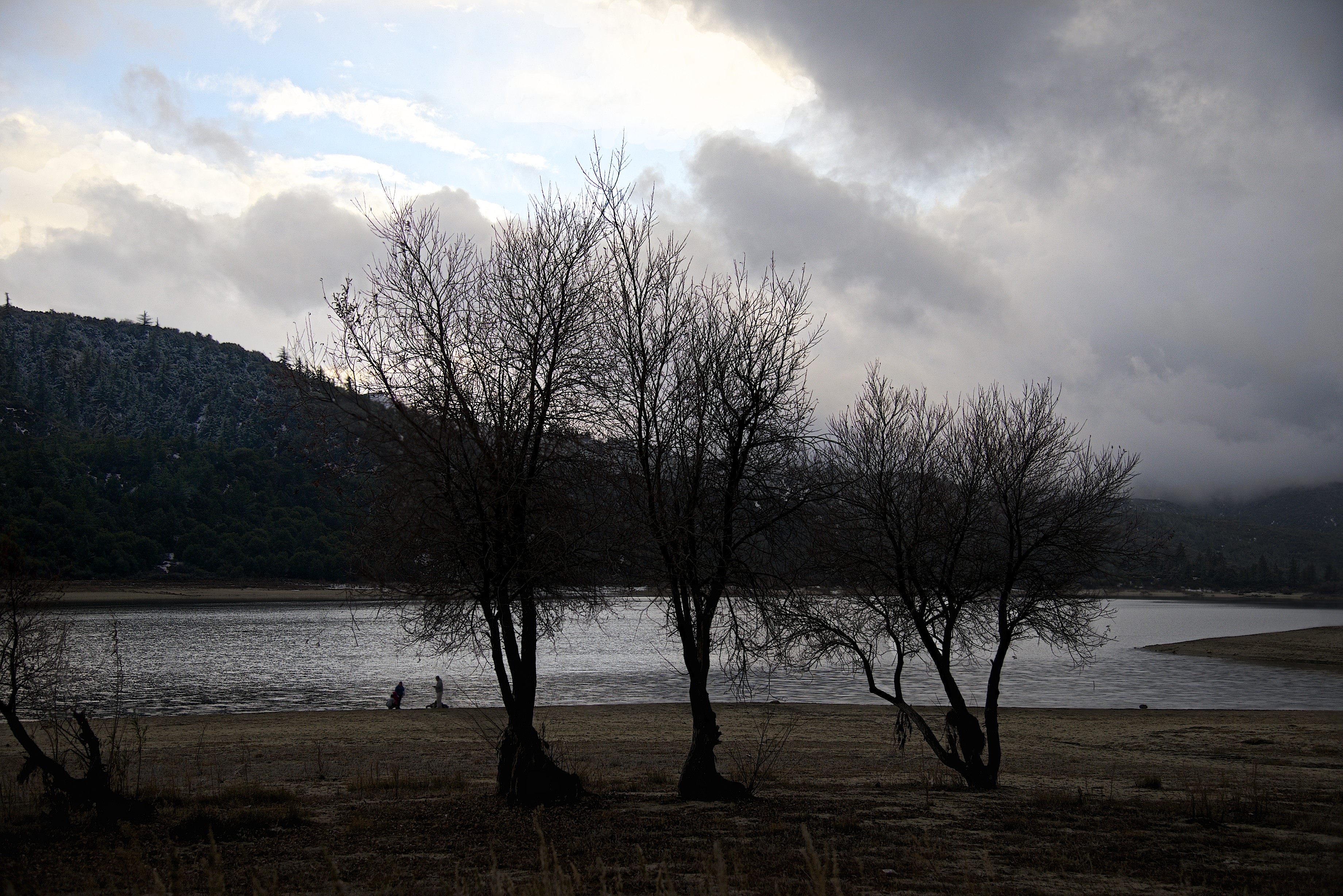
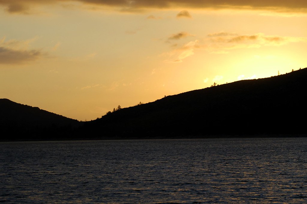
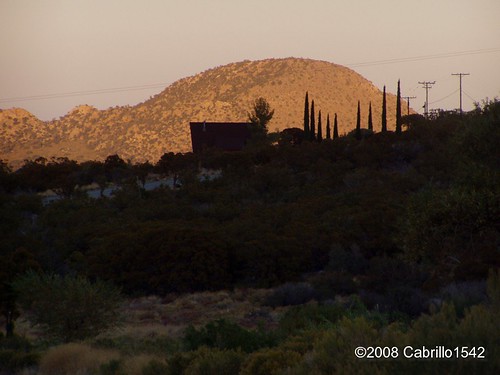
日出日落照片
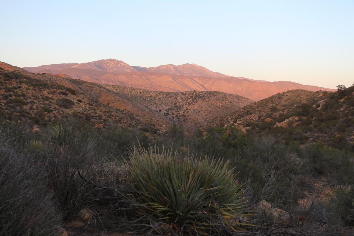
Sunset, Cahuilla Mountain

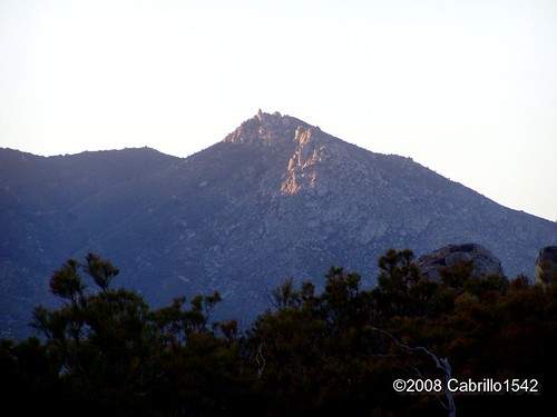
Saddleback from Cahuilla Mountain
Santa Rosa and San Jacinto National Monument
Sunset at Lake Hemet

Lake Hemet Moon Rise best

Fuller Ridge Moon
Lake Hemet Sunset
Lake Hemet
Lake Hemet Sunset
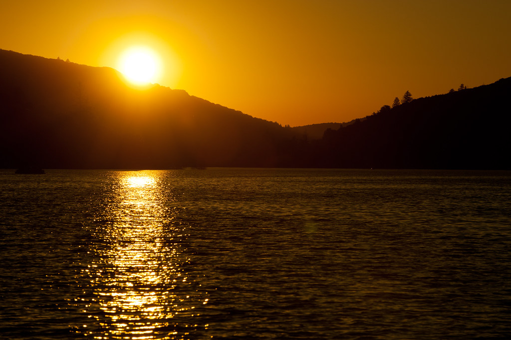
Lake Hemet Sunset
Last Light at Sunset Zoomed
1345 Sunset colors on Santa Rosa Mountain and Toro Peak over Nance Canyon from Coyote Canyon Road

Pacific Crest Trail, 2018

Pacific Crest Trail, 2018
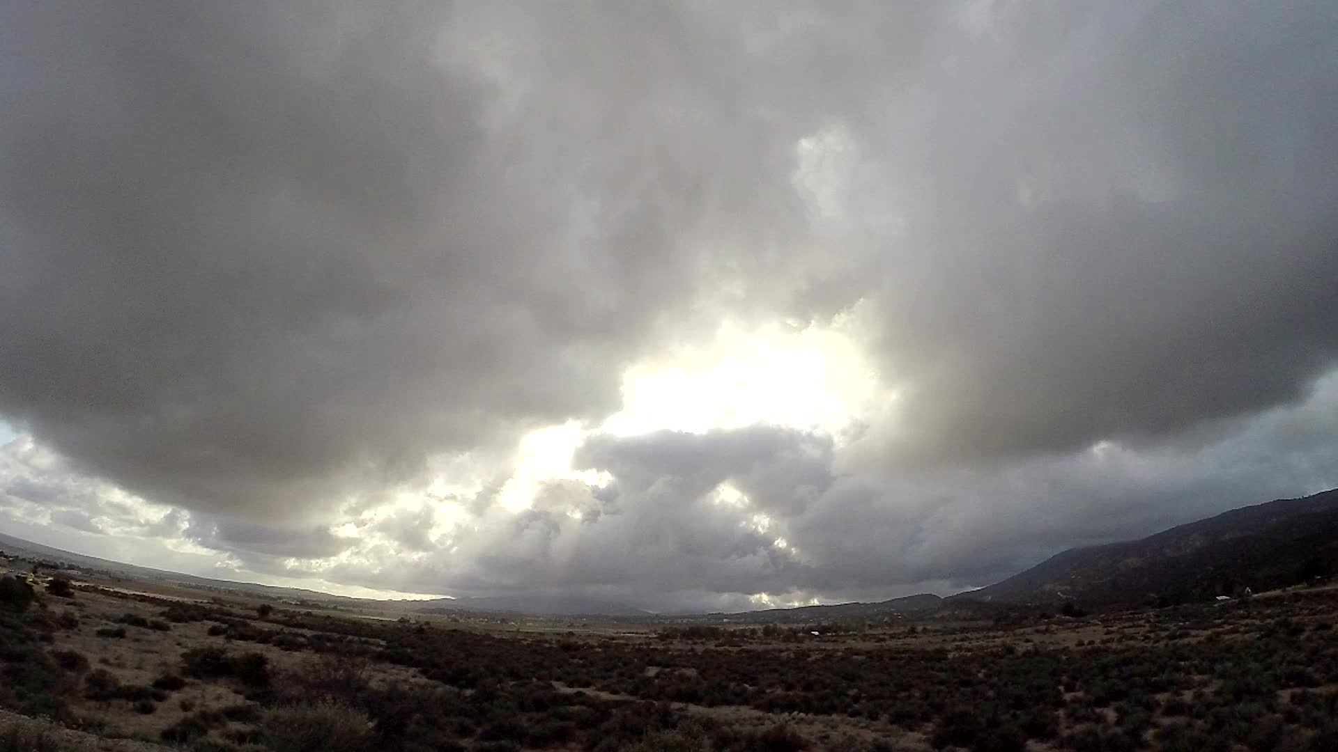
Anza Valley Storm Timelapse
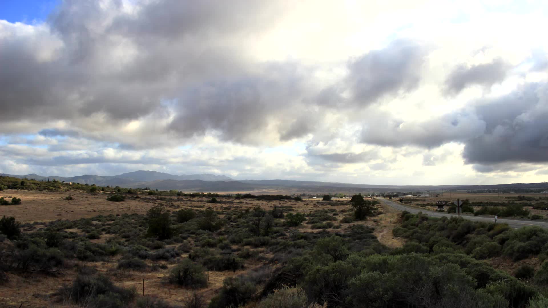
Along the 371 Timelapse

0904 Sunset clouds at our campsite on the PCT near mile 140
Another Last Light at Sunset
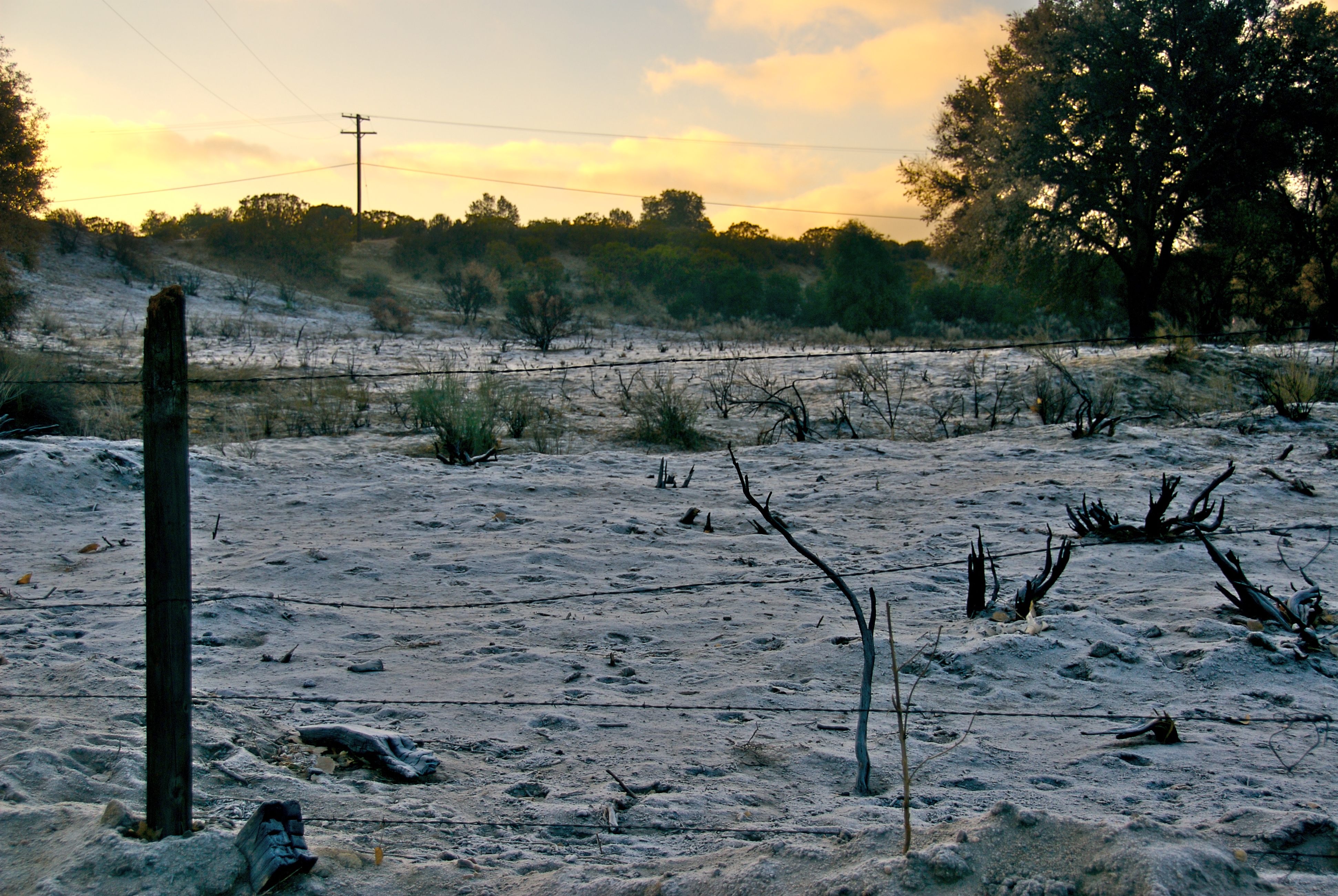
Burn Zone

0906 Sunrise on our fourth day of hiking at our campsite on the PCT near mile 140
Bohlen Rd, Anza, CA 美國的地圖
搜索其他地方的日出日落時間
附近地點
Courtesy Dr, Mountain Center, CA 美國
CA-74, Mountain Center, CA 美國
Saunders Meadow Rd, Idyllwild, CA 美國
Tahquitz View Dr, Idyllwild, CA 美國
Strong Dr, Idyllwild-Pine Cove, CA 美國
Strong Dr, Idyllwild, CA 美國
Cedar St, Idyllwild, CA 美國Silver Pines Lodge
美國加利福尼亞州愛德懷-松樹灣
N Circle Dr, Idyllwild, CA 美國
N Circle Dr, Idyllwild, CA 美國Idyllwild Vacation Cabins
Tahquitz Dr, Idyllwild, CA 美國
N Circle Dr, Idyllwild, CA 美國North Circle Drive
Buck Dr, Mountain Center, CA 美國Buck Drive
Indio Ave, Mountain Center, CA 美國
CA-74, Mountain Center, CA 美國
CA-74, Palm Desert, CA 美國Santa Rosa and San Jacinto Mountains National Monument
Cholla Way, Palm Desert, CA 美國
Cll De Los Campesinos, Palm Desert, CA 美國Calle De Los Campesinos
Irontree Dr, Palm Desert, CA 美國
美國加利福尼亞州蘭喬米拉
最近搜索
- 阿根廷布宜諾斯艾利斯聖特爾莫區的日出日落時間表
- Congressional Dr, Stevensville, MD, USA的日出日落時間表
- Papingo 04希臘的日出日落時間表
- Kranto 7-oji g. 8"N, Kaunas, 立陶宛Pagonija rock的日出日落時間表
- Co Rd 87, Jamestown, CO, USA的日出日落時間表
- 哥倫比亞昆迪納馬卡省滕霍的日出日落時間表
- -1 Gosho, Ichihara, Chiba -, Japan的日出日落時間表
- -日本的日出日落時間表
- Co Rd A, Truth or Consequences, NM 美國美國太空港的日出日落時間表
- 美國羅德島州沃威克的日出日落時間表