美國加利福尼亞州安德森的日出日落時間表
Location: 美國 > 加利福尼亞州 > 蒂黑馬縣 >
時區:
America/Los_Angeles
當地時間:
2024-05-03 04:24:08
經度:
-122.2977815
緯度:
40.448208
今天日出時間:
06:04:23 AM
今天日落時間:
08:07:34 PM
今天日照時長:
14h 3m 11s
明天日出時間:
06:03:12 AM
明天日落時間:
08:08:35 PM
明天日照時長:
14h 5m 23s
顯示所有日期
| 日期 | 日出 | 日落 | 日照時長 |
|---|---|---|---|
| 2024年01月01日 | 07:32:22 AM | 04:53:46 PM | 9h 21m 24s |
| 2024年01月02日 | 07:32:26 AM | 04:54:38 PM | 9h 22m 12s |
| 2024年01月03日 | 07:32:28 AM | 04:55:31 PM | 9h 23m 3s |
| 2024年01月04日 | 07:32:27 AM | 04:56:25 PM | 9h 23m 58s |
| 2024年01月05日 | 07:32:25 AM | 04:57:21 PM | 9h 24m 56s |
| 2024年01月06日 | 07:32:20 AM | 04:58:18 PM | 9h 25m 58s |
| 2024年01月07日 | 07:32:13 AM | 04:59:17 PM | 9h 27m 4s |
| 2024年01月08日 | 07:32:03 AM | 05:00:16 PM | 9h 28m 13s |
| 2024年01月09日 | 07:31:52 AM | 05:01:17 PM | 9h 29m 25s |
| 2024年01月10日 | 07:31:38 AM | 05:02:19 PM | 9h 30m 41s |
| 2024年01月11日 | 07:31:22 AM | 05:03:22 PM | 9h 32m 0s |
| 2024年01月12日 | 07:31:03 AM | 05:04:26 PM | 9h 33m 23s |
| 2024年01月13日 | 07:30:43 AM | 05:05:31 PM | 9h 34m 48s |
| 2024年01月14日 | 07:30:20 AM | 05:06:37 PM | 9h 36m 17s |
| 2024年01月15日 | 07:29:55 AM | 05:07:43 PM | 9h 37m 48s |
| 2024年01月16日 | 07:29:28 AM | 05:08:51 PM | 9h 39m 23s |
| 2024年01月17日 | 07:28:59 AM | 05:09:59 PM | 9h 41m 0s |
| 2024年01月18日 | 07:28:28 AM | 05:11:08 PM | 9h 42m 40s |
| 2024年01月19日 | 07:27:55 AM | 05:12:17 PM | 9h 44m 22s |
| 2024年01月20日 | 07:27:19 AM | 05:13:27 PM | 9h 46m 8s |
| 2024年01月21日 | 07:26:42 AM | 05:14:38 PM | 9h 47m 56s |
| 2024年01月22日 | 07:26:02 AM | 05:15:49 PM | 9h 49m 47s |
| 2024年01月23日 | 07:25:21 AM | 05:17:00 PM | 9h 51m 39s |
| 2024年01月24日 | 07:24:38 AM | 05:18:12 PM | 9h 53m 34s |
| 2024年01月25日 | 07:23:52 AM | 05:19:24 PM | 9h 55m 32s |
| 2024年01月26日 | 07:23:05 AM | 05:20:36 PM | 9h 57m 31s |
| 2024年01月27日 | 07:22:16 AM | 05:21:49 PM | 9h 59m 33s |
| 2024年01月28日 | 07:21:25 AM | 05:23:02 PM | 10h 1m 37s |
| 2024年01月29日 | 07:20:33 AM | 05:24:15 PM | 10h 3m 42s |
| 2024年01月30日 | 07:19:38 AM | 05:25:28 PM | 10h 5m 50s |
| 2024年01月31日 | 07:18:42 AM | 05:26:41 PM | 10h 7m 59s |
| 2024年02月01日 | 07:17:44 AM | 05:27:55 PM | 10h 10m 11s |
| 2024年02月02日 | 07:16:45 AM | 05:29:08 PM | 10h 12m 23s |
| 2024年02月03日 | 07:15:44 AM | 05:30:22 PM | 10h 14m 38s |
| 2024年02月04日 | 07:14:41 AM | 05:31:35 PM | 10h 16m 54s |
| 2024年02月05日 | 07:13:36 AM | 05:32:48 PM | 10h 19m 12s |
| 2024年02月06日 | 07:12:31 AM | 05:34:01 PM | 10h 21m 30s |
| 2024年02月07日 | 07:11:23 AM | 05:35:15 PM | 10h 23m 52s |
| 2024年02月08日 | 07:10:15 AM | 05:36:28 PM | 10h 26m 13s |
| 2024年02月09日 | 07:09:04 AM | 05:37:40 PM | 10h 28m 36s |
| 2024年02月10日 | 07:07:53 AM | 05:38:53 PM | 10h 31m 0s |
| 2024年02月11日 | 07:06:40 AM | 05:40:06 PM | 10h 33m 26s |
| 2024年02月12日 | 07:05:26 AM | 05:41:18 PM | 10h 35m 52s |
| 2024年02月13日 | 07:04:10 AM | 05:42:30 PM | 10h 38m 20s |
| 2024年02月14日 | 07:02:53 AM | 05:43:42 PM | 10h 40m 49s |
| 2024年02月15日 | 07:01:35 AM | 05:44:53 PM | 10h 43m 18s |
| 2024年02月16日 | 07:00:16 AM | 05:46:05 PM | 10h 45m 49s |
| 2024年02月17日 | 06:58:56 AM | 05:47:16 PM | 10h 48m 20s |
| 2024年02月18日 | 06:57:35 AM | 05:48:26 PM | 10h 50m 51s |
| 2024年02月19日 | 06:56:12 AM | 05:49:37 PM | 10h 53m 25s |
| 2024年02月20日 | 06:54:49 AM | 05:50:47 PM | 10h 55m 58s |
| 2024年02月21日 | 06:53:25 AM | 05:51:57 PM | 10h 58m 32s |
| 2024年02月22日 | 06:51:59 AM | 05:53:07 PM | 11h 1m 8s |
| 2024年02月23日 | 06:50:33 AM | 05:54:16 PM | 11h 3m 43s |
| 2024年02月24日 | 06:49:06 AM | 05:55:25 PM | 11h 6m 19s |
| 2024年02月25日 | 06:47:38 AM | 05:56:34 PM | 11h 8m 56s |
| 2024年02月26日 | 06:46:09 AM | 05:57:42 PM | 11h 11m 33s |
| 2024年02月27日 | 06:44:39 AM | 05:58:50 PM | 11h 14m 11s |
| 2024年02月28日 | 06:43:09 AM | 05:59:58 PM | 11h 16m 49s |
| 2024年02月29日 | 06:41:38 AM | 06:01:06 PM | 11h 19m 28s |
| 2024年03月01日 | 06:40:06 AM | 06:02:13 PM | 11h 22m 7s |
| 2024年03月02日 | 06:38:33 AM | 06:03:20 PM | 11h 24m 47s |
| 2024年03月03日 | 06:37:00 AM | 06:04:26 PM | 11h 27m 26s |
| 2024年03月04日 | 06:35:27 AM | 06:05:33 PM | 11h 30m 6s |
| 2024年03月05日 | 06:33:53 AM | 06:06:39 PM | 11h 32m 46s |
| 2024年03月06日 | 06:32:18 AM | 06:07:45 PM | 11h 35m 27s |
| 2024年03月07日 | 06:30:43 AM | 06:08:50 PM | 11h 38m 7s |
| 2024年03月08日 | 06:29:07 AM | 06:09:56 PM | 11h 40m 49s |
| 2024年03月09日 | 06:27:31 AM | 06:11:01 PM | 11h 43m 30s |
| 2024年03月10日 | 07:25:58 AM | 07:12:03 PM | 11h 46m 5s |
| 2024年03月11日 | 07:24:22 AM | 07:13:07 PM | 11h 48m 45s |
| 2024年03月12日 | 07:22:45 AM | 07:14:12 PM | 11h 51m 27s |
| 2024年03月13日 | 07:21:07 AM | 07:15:16 PM | 11h 54m 9s |
| 2024年03月14日 | 07:19:29 AM | 07:16:20 PM | 11h 56m 51s |
| 2024年03月15日 | 07:17:51 AM | 07:17:24 PM | 11h 59m 33s |
| 2024年03月16日 | 07:16:13 AM | 07:18:27 PM | 12h 2m 14s |
| 2024年03月17日 | 07:14:35 AM | 07:19:31 PM | 12h 4m 56s |
| 2024年03月18日 | 07:12:56 AM | 07:20:34 PM | 12h 7m 38s |
| 2024年03月19日 | 07:11:18 AM | 07:21:37 PM | 12h 10m 19s |
| 2024年03月20日 | 07:09:39 AM | 07:22:40 PM | 12h 13m 1s |
| 2024年03月21日 | 07:08:00 AM | 07:23:43 PM | 12h 15m 43s |
| 2024年03月22日 | 07:06:22 AM | 07:24:46 PM | 12h 18m 24s |
| 2024年03月23日 | 07:04:43 AM | 07:25:48 PM | 12h 21m 5s |
| 2024年03月24日 | 07:03:04 AM | 07:26:51 PM | 12h 23m 47s |
| 2024年03月25日 | 07:01:26 AM | 07:27:53 PM | 12h 26m 27s |
| 2024年03月26日 | 06:59:47 AM | 07:28:55 PM | 12h 29m 8s |
| 2024年03月27日 | 06:58:09 AM | 07:29:58 PM | 12h 31m 49s |
| 2024年03月28日 | 06:56:30 AM | 07:31:00 PM | 12h 34m 30s |
| 2024年03月29日 | 06:54:52 AM | 07:32:02 PM | 12h 37m 10s |
| 2024年03月30日 | 06:53:14 AM | 07:33:04 PM | 12h 39m 50s |
| 2024年03月31日 | 06:51:37 AM | 07:34:06 PM | 12h 42m 29s |
| 2024年04月01日 | 06:49:59 AM | 07:35:08 PM | 12h 45m 9s |
| 2024年04月02日 | 06:48:22 AM | 07:36:10 PM | 12h 47m 48s |
| 2024年04月03日 | 06:46:46 AM | 07:37:12 PM | 12h 50m 26s |
| 2024年04月04日 | 06:45:09 AM | 07:38:14 PM | 12h 53m 5s |
| 2024年04月05日 | 06:43:34 AM | 07:39:16 PM | 12h 55m 42s |
| 2024年04月06日 | 06:41:58 AM | 07:40:18 PM | 12h 58m 20s |
| 2024年04月07日 | 06:40:23 AM | 07:41:20 PM | 13h 0m 57s |
| 2024年04月08日 | 06:38:49 AM | 07:42:22 PM | 13h 3m 33s |
| 2024年04月09日 | 06:37:15 AM | 07:43:24 PM | 13h 6m 9s |
| 2024年04月10日 | 06:35:41 AM | 07:44:26 PM | 13h 8m 45s |
| 2024年04月11日 | 06:34:08 AM | 07:45:28 PM | 13h 11m 20s |
| 2024年04月12日 | 06:32:36 AM | 07:46:30 PM | 13h 13m 54s |
| 2024年04月13日 | 06:31:05 AM | 07:47:33 PM | 13h 16m 28s |
| 2024年04月14日 | 06:29:34 AM | 07:48:35 PM | 13h 19m 1s |
| 2024年04月15日 | 06:28:04 AM | 07:49:37 PM | 13h 21m 33s |
| 2024年04月16日 | 06:26:34 AM | 07:50:39 PM | 13h 24m 5s |
| 2024年04月17日 | 06:25:06 AM | 07:51:41 PM | 13h 26m 35s |
| 2024年04月18日 | 06:23:38 AM | 07:52:43 PM | 13h 29m 5s |
| 2024年04月19日 | 06:22:11 AM | 07:53:46 PM | 13h 31m 35s |
| 2024年04月20日 | 06:20:45 AM | 07:54:48 PM | 13h 34m 3s |
| 2024年04月21日 | 06:19:19 AM | 07:55:50 PM | 13h 36m 31s |
| 2024年04月22日 | 06:17:55 AM | 07:56:52 PM | 13h 38m 57s |
| 2024年04月23日 | 06:16:32 AM | 07:57:54 PM | 13h 41m 22s |
| 2024年04月24日 | 06:15:09 AM | 07:58:56 PM | 13h 43m 47s |
| 2024年04月25日 | 06:13:48 AM | 07:59:58 PM | 13h 46m 10s |
| 2024年04月26日 | 06:12:28 AM | 08:01:01 PM | 13h 48m 33s |
| 2024年04月27日 | 06:11:09 AM | 08:02:02 PM | 13h 50m 53s |
| 2024年04月28日 | 06:09:51 AM | 08:03:04 PM | 13h 53m 13s |
| 2024年04月29日 | 06:08:34 AM | 08:04:06 PM | 13h 55m 32s |
| 2024年04月30日 | 06:07:18 AM | 08:05:08 PM | 13h 57m 50s |
| 2024年05月01日 | 06:06:04 AM | 08:06:09 PM | 14h 0m 5s |
| 2024年05月02日 | 06:04:50 AM | 08:07:11 PM | 14h 2m 21s |
| 2024年05月03日 | 06:03:38 AM | 08:08:12 PM | 14h 4m 34s |
| 2024年05月04日 | 06:02:28 AM | 08:09:13 PM | 14h 6m 45s |
| 2024年05月05日 | 06:01:18 AM | 08:10:14 PM | 14h 8m 56s |
| 2024年05月06日 | 06:00:11 AM | 08:11:14 PM | 14h 11m 3s |
| 2024年05月07日 | 05:59:04 AM | 08:12:14 PM | 14h 13m 10s |
| 2024年05月08日 | 05:57:59 AM | 08:13:14 PM | 14h 15m 15s |
| 2024年05月09日 | 05:56:55 AM | 08:14:14 PM | 14h 17m 19s |
| 2024年05月10日 | 05:55:53 AM | 08:15:13 PM | 14h 19m 20s |
| 2024年05月11日 | 05:54:53 AM | 08:16:12 PM | 14h 21m 19s |
| 2024年05月12日 | 05:53:54 AM | 08:17:11 PM | 14h 23m 17s |
| 2024年05月13日 | 05:52:56 AM | 08:18:09 PM | 14h 25m 13s |
| 2024年05月14日 | 05:52:00 AM | 08:19:07 PM | 14h 27m 7s |
| 2024年05月15日 | 05:51:06 AM | 08:20:04 PM | 14h 28m 58s |
| 2024年05月16日 | 05:50:14 AM | 08:21:00 PM | 14h 30m 46s |
| 2024年05月17日 | 05:49:23 AM | 08:21:56 PM | 14h 32m 33s |
| 2024年05月18日 | 05:48:34 AM | 08:22:51 PM | 14h 34m 17s |
| 2024年05月19日 | 05:47:46 AM | 08:23:46 PM | 14h 36m 0s |
| 2024年05月20日 | 05:47:01 AM | 08:24:40 PM | 14h 37m 39s |
| 2024年05月21日 | 05:46:17 AM | 08:25:33 PM | 14h 39m 16s |
| 2024年05月22日 | 05:45:35 AM | 08:26:26 PM | 14h 40m 51s |
| 2024年05月23日 | 05:44:54 AM | 08:27:18 PM | 14h 42m 24s |
| 2024年05月24日 | 05:44:16 AM | 08:28:08 PM | 14h 43m 52s |
| 2024年05月25日 | 05:43:39 AM | 08:28:58 PM | 14h 45m 19s |
| 2024年05月26日 | 05:43:05 AM | 08:29:47 PM | 14h 46m 42s |
| 2024年05月27日 | 05:42:32 AM | 08:30:35 PM | 14h 48m 3s |
| 2024年05月28日 | 05:42:01 AM | 08:31:22 PM | 14h 49m 21s |
| 2024年05月29日 | 05:41:32 AM | 08:32:08 PM | 14h 50m 36s |
| 2024年05月30日 | 05:41:05 AM | 08:32:53 PM | 14h 51m 48s |
| 2024年05月31日 | 05:40:40 AM | 08:33:37 PM | 14h 52m 57s |
| 2024年06月01日 | 05:40:17 AM | 08:34:19 PM | 14h 54m 2s |
| 2024年06月02日 | 05:39:56 AM | 08:35:01 PM | 14h 55m 5s |
| 2024年06月03日 | 05:39:37 AM | 08:35:41 PM | 14h 56m 4s |
| 2024年06月04日 | 05:39:20 AM | 08:36:19 PM | 14h 56m 59s |
| 2024年06月05日 | 05:39:04 AM | 08:36:57 PM | 14h 57m 53s |
| 2024年06月06日 | 05:38:51 AM | 08:37:32 PM | 14h 58m 41s |
| 2024年06月07日 | 05:38:40 AM | 08:38:07 PM | 14h 59m 27s |
| 2024年06月08日 | 05:38:30 AM | 08:38:40 PM | 15h 0m 10s |
| 2024年06月09日 | 05:38:23 AM | 08:39:11 PM | 15h 0m 48s |
| 2024年06月10日 | 05:38:18 AM | 08:39:41 PM | 15h 1m 23s |
| 2024年06月11日 | 05:38:14 AM | 08:40:10 PM | 15h 1m 56s |
| 2024年06月12日 | 05:38:13 AM | 08:40:36 PM | 15h 2m 23s |
| 2024年06月13日 | 05:38:13 AM | 08:41:01 PM | 15h 2m 48s |
| 2024年06月14日 | 05:38:16 AM | 08:41:25 PM | 15h 3m 9s |
| 2024年06月15日 | 05:38:20 AM | 08:41:46 PM | 15h 3m 26s |
| 2024年06月16日 | 05:38:26 AM | 08:42:06 PM | 15h 3m 40s |
| 2024年06月17日 | 05:38:34 AM | 08:42:24 PM | 15h 3m 50s |
| 2024年06月18日 | 05:38:44 AM | 08:42:40 PM | 15h 3m 56s |
| 2024年06月19日 | 05:38:56 AM | 08:42:55 PM | 15h 3m 59s |
| 2024年06月20日 | 05:39:10 AM | 08:43:07 PM | 15h 3m 57s |
| 2024年06月21日 | 05:39:25 AM | 08:43:18 PM | 15h 3m 53s |
| 2024年06月22日 | 05:39:42 AM | 08:43:27 PM | 15h 3m 45s |
| 2024年06月23日 | 05:40:01 AM | 08:43:34 PM | 15h 3m 33s |
| 2024年06月24日 | 05:40:21 AM | 08:43:39 PM | 15h 3m 18s |
| 2024年06月25日 | 05:40:44 AM | 08:43:41 PM | 15h 2m 57s |
| 2024年06月26日 | 05:41:07 AM | 08:43:42 PM | 15h 2m 35s |
| 2024年06月27日 | 05:41:33 AM | 08:43:41 PM | 15h 2m 8s |
| 2024年06月28日 | 05:42:00 AM | 08:43:38 PM | 15h 1m 38s |
| 2024年06月29日 | 05:42:28 AM | 08:43:33 PM | 15h 1m 5s |
| 2024年06月30日 | 05:42:58 AM | 08:43:26 PM | 15h 0m 28s |
| 2024年07月01日 | 05:43:30 AM | 08:43:17 PM | 14h 59m 47s |
| 2024年07月02日 | 05:44:03 AM | 08:43:06 PM | 14h 59m 3s |
| 2024年07月03日 | 05:44:37 AM | 08:42:53 PM | 14h 58m 16s |
| 2024年07月04日 | 05:45:13 AM | 08:42:38 PM | 14h 57m 25s |
| 2024年07月05日 | 05:45:50 AM | 08:42:21 PM | 14h 56m 31s |
| 2024年07月06日 | 05:46:28 AM | 08:42:02 PM | 14h 55m 34s |
| 2024年07月07日 | 05:47:07 AM | 08:41:41 PM | 14h 54m 34s |
| 2024年07月08日 | 05:47:48 AM | 08:41:18 PM | 14h 53m 30s |
| 2024年07月09日 | 05:48:29 AM | 08:40:52 PM | 14h 52m 23s |
| 2024年07月10日 | 05:49:12 AM | 08:40:25 PM | 14h 51m 13s |
| 2024年07月11日 | 05:49:56 AM | 08:39:56 PM | 14h 50m 0s |
| 2024年07月12日 | 05:50:41 AM | 08:39:25 PM | 14h 48m 44s |
| 2024年07月13日 | 05:51:27 AM | 08:38:52 PM | 14h 47m 25s |
| 2024年07月14日 | 05:52:14 AM | 08:38:17 PM | 14h 46m 3s |
| 2024年07月15日 | 05:53:01 AM | 08:37:41 PM | 14h 44m 40s |
| 2024年07月16日 | 05:53:50 AM | 08:37:02 PM | 14h 43m 12s |
| 2024年07月17日 | 05:54:39 AM | 08:36:21 PM | 14h 41m 42s |
| 2024年07月18日 | 05:55:29 AM | 08:35:39 PM | 14h 40m 10s |
| 2024年07月19日 | 05:56:20 AM | 08:34:55 PM | 14h 38m 35s |
| 2024年07月20日 | 05:57:11 AM | 08:34:08 PM | 14h 36m 57s |
| 2024年07月21日 | 05:58:03 AM | 08:33:21 PM | 14h 35m 18s |
| 2024年07月22日 | 05:58:56 AM | 08:32:31 PM | 14h 33m 35s |
| 2024年07月23日 | 05:59:49 AM | 08:31:40 PM | 14h 31m 51s |
| 2024年07月24日 | 06:00:43 AM | 08:30:46 PM | 14h 30m 3s |
| 2024年07月25日 | 06:01:37 AM | 08:29:52 PM | 14h 28m 15s |
| 2024年07月26日 | 06:02:32 AM | 08:28:55 PM | 14h 26m 23s |
| 2024年07月27日 | 06:03:27 AM | 08:27:57 PM | 14h 24m 30s |
| 2024年07月28日 | 06:04:22 AM | 08:26:58 PM | 14h 22m 36s |
| 2024年07月29日 | 06:05:18 AM | 08:25:56 PM | 14h 20m 38s |
| 2024年07月30日 | 06:06:14 AM | 08:24:53 PM | 14h 18m 39s |
| 2024年07月31日 | 06:07:11 AM | 08:23:49 PM | 14h 16m 38s |
| 2024年08月01日 | 06:08:08 AM | 08:22:43 PM | 14h 14m 35s |
| 2024年08月02日 | 06:09:05 AM | 08:21:36 PM | 14h 12m 31s |
| 2024年08月03日 | 06:10:02 AM | 08:20:27 PM | 14h 10m 25s |
| 2024年08月04日 | 06:10:59 AM | 08:19:17 PM | 14h 8m 18s |
| 2024年08月05日 | 06:11:57 AM | 08:18:06 PM | 14h 6m 9s |
| 2024年08月06日 | 06:12:55 AM | 08:16:53 PM | 14h 3m 58s |
| 2024年08月07日 | 06:13:53 AM | 08:15:39 PM | 14h 1m 46s |
| 2024年08月08日 | 06:14:51 AM | 08:14:23 PM | 13h 59m 32s |
| 2024年08月09日 | 06:15:49 AM | 08:13:07 PM | 13h 57m 18s |
| 2024年08月10日 | 06:16:47 AM | 08:11:49 PM | 13h 55m 2s |
| 2024年08月11日 | 06:17:45 AM | 08:10:30 PM | 13h 52m 45s |
| 2024年08月12日 | 06:18:44 AM | 08:09:10 PM | 13h 50m 26s |
| 2024年08月13日 | 06:19:42 AM | 08:07:49 PM | 13h 48m 7s |
| 2024年08月14日 | 06:20:40 AM | 08:06:26 PM | 13h 45m 46s |
| 2024年08月15日 | 06:21:39 AM | 08:05:03 PM | 13h 43m 24s |
| 2024年08月16日 | 06:22:37 AM | 08:03:38 PM | 13h 41m 1s |
| 2024年08月17日 | 06:23:36 AM | 08:02:13 PM | 13h 38m 37s |
| 2024年08月18日 | 06:24:34 AM | 08:00:46 PM | 13h 36m 12s |
| 2024年08月19日 | 06:25:32 AM | 07:59:19 PM | 13h 33m 47s |
| 2024年08月20日 | 06:26:30 AM | 07:57:51 PM | 13h 31m 21s |
| 2024年08月21日 | 06:27:29 AM | 07:56:22 PM | 13h 28m 53s |
| 2024年08月22日 | 06:28:27 AM | 07:54:52 PM | 13h 26m 25s |
| 2024年08月23日 | 06:29:25 AM | 07:53:21 PM | 13h 23m 56s |
| 2024年08月24日 | 06:30:23 AM | 07:51:50 PM | 13h 21m 27s |
| 2024年08月25日 | 06:31:21 AM | 07:50:18 PM | 13h 18m 57s |
| 2024年08月26日 | 06:32:19 AM | 07:48:45 PM | 13h 16m 26s |
| 2024年08月27日 | 06:33:17 AM | 07:47:11 PM | 13h 13m 54s |
| 2024年08月28日 | 06:34:15 AM | 07:45:37 PM | 13h 11m 22s |
| 2024年08月29日 | 06:35:13 AM | 07:44:02 PM | 13h 8m 49s |
| 2024年08月30日 | 06:36:10 AM | 07:42:27 PM | 13h 6m 17s |
| 2024年08月31日 | 06:37:08 AM | 07:40:51 PM | 13h 3m 43s |
| 2024年09月01日 | 06:38:06 AM | 07:39:14 PM | 13h 1m 8s |
| 2024年09月02日 | 06:39:03 AM | 07:37:37 PM | 12h 58m 34s |
| 2024年09月03日 | 06:40:01 AM | 07:36:00 PM | 12h 55m 59s |
| 2024年09月04日 | 06:40:59 AM | 07:34:22 PM | 12h 53m 23s |
| 2024年09月05日 | 06:41:56 AM | 07:32:43 PM | 12h 50m 47s |
| 2024年09月06日 | 06:42:54 AM | 07:31:05 PM | 12h 48m 11s |
| 2024年09月07日 | 06:43:51 AM | 07:29:26 PM | 12h 45m 35s |
| 2024年09月08日 | 06:44:49 AM | 07:27:46 PM | 12h 42m 57s |
| 2024年09月09日 | 06:45:46 AM | 07:26:07 PM | 12h 40m 21s |
| 2024年09月10日 | 06:46:44 AM | 07:24:27 PM | 12h 37m 43s |
| 2024年09月11日 | 06:47:42 AM | 07:22:47 PM | 12h 35m 5s |
| 2024年09月12日 | 06:48:39 AM | 07:21:06 PM | 12h 32m 27s |
| 2024年09月13日 | 06:49:37 AM | 07:19:26 PM | 12h 29m 49s |
| 2024年09月14日 | 06:50:35 AM | 07:17:45 PM | 12h 27m 10s |
| 2024年09月15日 | 06:51:33 AM | 07:16:04 PM | 12h 24m 31s |
| 2024年09月16日 | 06:52:31 AM | 07:14:24 PM | 12h 21m 53s |
| 2024年09月17日 | 06:53:29 AM | 07:12:43 PM | 12h 19m 14s |
| 2024年09月18日 | 06:54:27 AM | 07:11:02 PM | 12h 16m 35s |
| 2024年09月19日 | 06:55:25 AM | 07:09:21 PM | 12h 13m 56s |
| 2024年09月20日 | 06:56:23 AM | 07:07:40 PM | 12h 11m 17s |
| 2024年09月21日 | 06:57:22 AM | 07:05:59 PM | 12h 8m 37s |
| 2024年09月22日 | 06:58:20 AM | 07:04:19 PM | 12h 5m 59s |
| 2024年09月23日 | 06:59:19 AM | 07:02:38 PM | 12h 3m 19s |
| 2024年09月24日 | 07:00:18 AM | 07:00:58 PM | 12h 0m 40s |
| 2024年09月25日 | 07:01:17 AM | 06:59:18 PM | 11h 58m 1s |
| 2024年09月26日 | 07:02:16 AM | 06:57:38 PM | 11h 55m 22s |
| 2024年09月27日 | 07:03:16 AM | 06:55:58 PM | 11h 52m 42s |
| 2024年09月28日 | 07:04:16 AM | 06:54:19 PM | 11h 50m 3s |
| 2024年09月29日 | 07:05:15 AM | 06:52:40 PM | 11h 47m 25s |
| 2024年09月30日 | 07:06:16 AM | 06:51:01 PM | 11h 44m 45s |
| 2024年10月01日 | 07:07:16 AM | 06:49:22 PM | 11h 42m 6s |
| 2024年10月02日 | 07:08:17 AM | 06:47:44 PM | 11h 39m 27s |
| 2024年10月03日 | 07:09:18 AM | 06:46:07 PM | 11h 36m 49s |
| 2024年10月04日 | 07:10:19 AM | 06:44:30 PM | 11h 34m 11s |
| 2024年10月05日 | 07:11:20 AM | 06:42:53 PM | 11h 31m 33s |
| 2024年10月06日 | 07:12:22 AM | 06:41:17 PM | 11h 28m 55s |
| 2024年10月07日 | 07:13:24 AM | 06:39:42 PM | 11h 26m 18s |
| 2024年10月08日 | 07:14:26 AM | 06:38:07 PM | 11h 23m 41s |
| 2024年10月09日 | 07:15:29 AM | 06:36:32 PM | 11h 21m 3s |
| 2024年10月10日 | 07:16:32 AM | 06:34:59 PM | 11h 18m 27s |
| 2024年10月11日 | 07:17:35 AM | 06:33:26 PM | 11h 15m 51s |
| 2024年10月12日 | 07:18:39 AM | 06:31:54 PM | 11h 13m 15s |
| 2024年10月13日 | 07:19:42 AM | 06:30:22 PM | 11h 10m 40s |
| 2024年10月14日 | 07:20:47 AM | 06:28:52 PM | 11h 8m 5s |
| 2024年10月15日 | 07:21:51 AM | 06:27:22 PM | 11h 5m 31s |
| 2024年10月16日 | 07:22:56 AM | 06:25:53 PM | 11h 2m 57s |
| 2024年10月17日 | 07:24:01 AM | 06:24:25 PM | 11h 0m 24s |
| 2024年10月18日 | 07:25:07 AM | 06:22:57 PM | 10h 57m 50s |
| 2024年10月19日 | 07:26:13 AM | 06:21:31 PM | 10h 55m 18s |
| 2024年10月20日 | 07:27:19 AM | 06:20:06 PM | 10h 52m 47s |
| 2024年10月21日 | 07:28:25 AM | 06:18:42 PM | 10h 50m 17s |
| 2024年10月22日 | 07:29:32 AM | 06:17:19 PM | 10h 47m 47s |
| 2024年10月23日 | 07:30:39 AM | 06:15:57 PM | 10h 45m 18s |
| 2024年10月24日 | 07:31:47 AM | 06:14:36 PM | 10h 42m 49s |
| 2024年10月25日 | 07:32:54 AM | 06:13:16 PM | 10h 40m 22s |
| 2024年10月26日 | 07:34:02 AM | 06:11:57 PM | 10h 37m 55s |
| 2024年10月27日 | 07:35:11 AM | 06:10:40 PM | 10h 35m 29s |
| 2024年10月28日 | 07:36:19 AM | 06:09:24 PM | 10h 33m 5s |
| 2024年10月29日 | 07:37:28 AM | 06:08:09 PM | 10h 30m 41s |
| 2024年10月30日 | 07:38:37 AM | 06:06:56 PM | 10h 28m 19s |
| 2024年10月31日 | 07:39:46 AM | 06:05:44 PM | 10h 25m 58s |
| 2024年11月01日 | 07:40:56 AM | 06:04:33 PM | 10h 23m 37s |
| 2024年11月02日 | 07:42:05 AM | 06:03:24 PM | 10h 21m 19s |
| 2024年11月03日 | 06:43:18 AM | 05:02:14 PM | 10h 18m 56s |
| 2024年11月04日 | 06:44:28 AM | 05:01:08 PM | 10h 16m 40s |
| 2024年11月05日 | 06:45:38 AM | 05:00:03 PM | 10h 14m 25s |
| 2024年11月06日 | 06:46:48 AM | 04:59:00 PM | 10h 12m 12s |
| 2024年11月07日 | 06:47:58 AM | 04:57:59 PM | 10h 10m 1s |
| 2024年11月08日 | 06:49:08 AM | 04:57:00 PM | 10h 7m 52s |
| 2024年11月09日 | 06:50:18 AM | 04:56:02 PM | 10h 5m 44s |
| 2024年11月10日 | 06:51:28 AM | 04:55:06 PM | 10h 3m 38s |
| 2024年11月11日 | 06:52:38 AM | 04:54:11 PM | 10h 1m 33s |
| 2024年11月12日 | 06:53:48 AM | 04:53:19 PM | 9h 59m 31s |
| 2024年11月13日 | 06:54:58 AM | 04:52:28 PM | 9h 57m 30s |
| 2024年11月14日 | 06:56:07 AM | 04:51:39 PM | 9h 55m 32s |
| 2024年11月15日 | 06:57:17 AM | 04:50:52 PM | 9h 53m 35s |
| 2024年11月16日 | 06:58:26 AM | 04:50:07 PM | 9h 51m 41s |
| 2024年11月17日 | 06:59:35 AM | 04:49:24 PM | 9h 49m 49s |
| 2024年11月18日 | 07:00:43 AM | 04:48:43 PM | 9h 48m 0s |
| 2024年11月19日 | 07:01:51 AM | 04:48:04 PM | 9h 46m 13s |
| 2024年11月20日 | 07:02:59 AM | 04:47:27 PM | 9h 44m 28s |
| 2024年11月21日 | 07:04:06 AM | 04:46:52 PM | 9h 42m 46s |
| 2024年11月22日 | 07:05:13 AM | 04:46:19 PM | 9h 41m 6s |
| 2024年11月23日 | 07:06:19 AM | 04:45:48 PM | 9h 39m 29s |
| 2024年11月24日 | 07:07:24 AM | 04:45:20 PM | 9h 37m 56s |
| 2024年11月25日 | 07:08:29 AM | 04:44:53 PM | 9h 36m 24s |
| 2024年11月26日 | 07:09:33 AM | 04:44:29 PM | 9h 34m 56s |
| 2024年11月27日 | 07:10:36 AM | 04:44:07 PM | 9h 33m 31s |
| 2024年11月28日 | 07:11:38 AM | 04:43:47 PM | 9h 32m 9s |
| 2024年11月29日 | 07:12:40 AM | 04:43:30 PM | 9h 30m 50s |
| 2024年11月30日 | 07:13:40 AM | 04:43:14 PM | 9h 29m 34s |
| 2024年12月01日 | 07:14:40 AM | 04:43:01 PM | 9h 28m 21s |
| 2024年12月02日 | 07:15:38 AM | 04:42:51 PM | 9h 27m 13s |
| 2024年12月03日 | 07:16:35 AM | 04:42:42 PM | 9h 26m 7s |
| 2024年12月04日 | 07:17:31 AM | 04:42:36 PM | 9h 25m 5s |
| 2024年12月05日 | 07:18:26 AM | 04:42:32 PM | 9h 24m 6s |
| 2024年12月06日 | 07:19:20 AM | 04:42:30 PM | 9h 23m 10s |
| 2024年12月07日 | 07:20:12 AM | 04:42:31 PM | 9h 22m 19s |
| 2024年12月08日 | 07:21:03 AM | 04:42:34 PM | 9h 21m 31s |
| 2024年12月09日 | 07:21:52 AM | 04:42:39 PM | 9h 20m 47s |
| 2024年12月10日 | 07:22:40 AM | 04:42:47 PM | 9h 20m 7s |
| 2024年12月11日 | 07:23:26 AM | 04:42:57 PM | 9h 19m 31s |
| 2024年12月12日 | 07:24:11 AM | 04:43:09 PM | 9h 18m 58s |
| 2024年12月13日 | 07:24:54 AM | 04:43:23 PM | 9h 18m 29s |
| 2024年12月14日 | 07:25:35 AM | 04:43:40 PM | 9h 18m 5s |
| 2024年12月15日 | 07:26:15 AM | 04:43:58 PM | 9h 17m 43s |
| 2024年12月16日 | 07:26:53 AM | 04:44:19 PM | 9h 17m 26s |
| 2024年12月17日 | 07:27:29 AM | 04:44:42 PM | 9h 17m 13s |
| 2024年12月18日 | 07:28:03 AM | 04:45:08 PM | 9h 17m 5s |
| 2024年12月19日 | 07:28:35 AM | 04:45:35 PM | 9h 17m 0s |
| 2024年12月20日 | 07:29:05 AM | 04:46:04 PM | 9h 16m 59s |
| 2024年12月21日 | 07:29:33 AM | 04:46:36 PM | 9h 17m 3s |
| 2024年12月22日 | 07:30:00 AM | 04:47:09 PM | 9h 17m 9s |
| 2024年12月23日 | 07:30:24 AM | 04:47:45 PM | 9h 17m 21s |
| 2024年12月24日 | 07:30:46 AM | 04:48:22 PM | 9h 17m 36s |
| 2024年12月25日 | 07:31:06 AM | 04:49:01 PM | 9h 17m 55s |
| 2024年12月26日 | 07:31:24 AM | 04:49:42 PM | 9h 18m 18s |
| 2024年12月27日 | 07:31:39 AM | 04:50:25 PM | 9h 18m 46s |
| 2024年12月28日 | 07:31:53 AM | 04:51:10 PM | 9h 19m 17s |
| 2024年12月29日 | 07:32:04 AM | 04:51:56 PM | 9h 19m 52s |
| 2024年12月30日 | 07:32:13 AM | 04:52:44 PM | 9h 20m 31s |
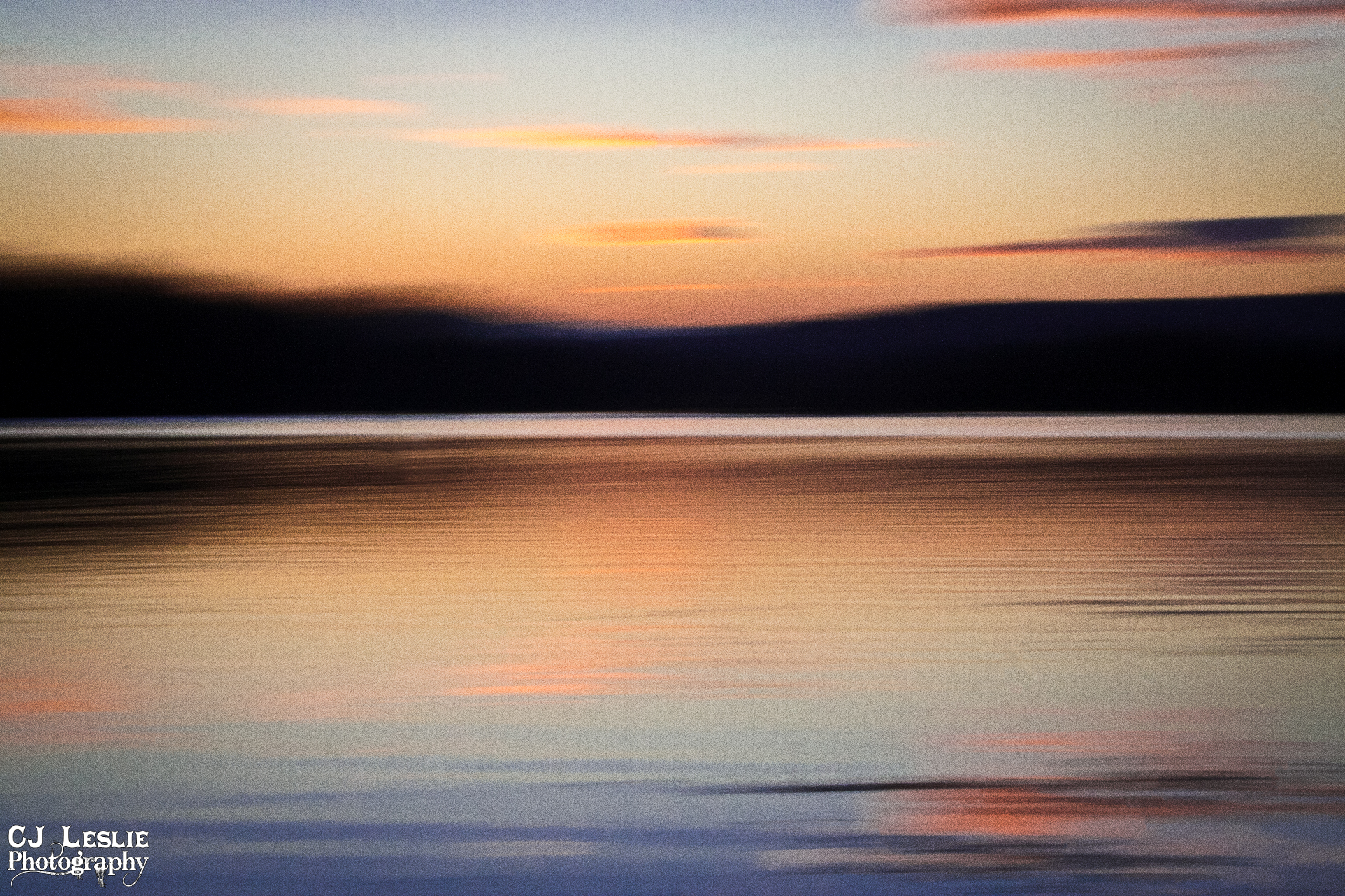
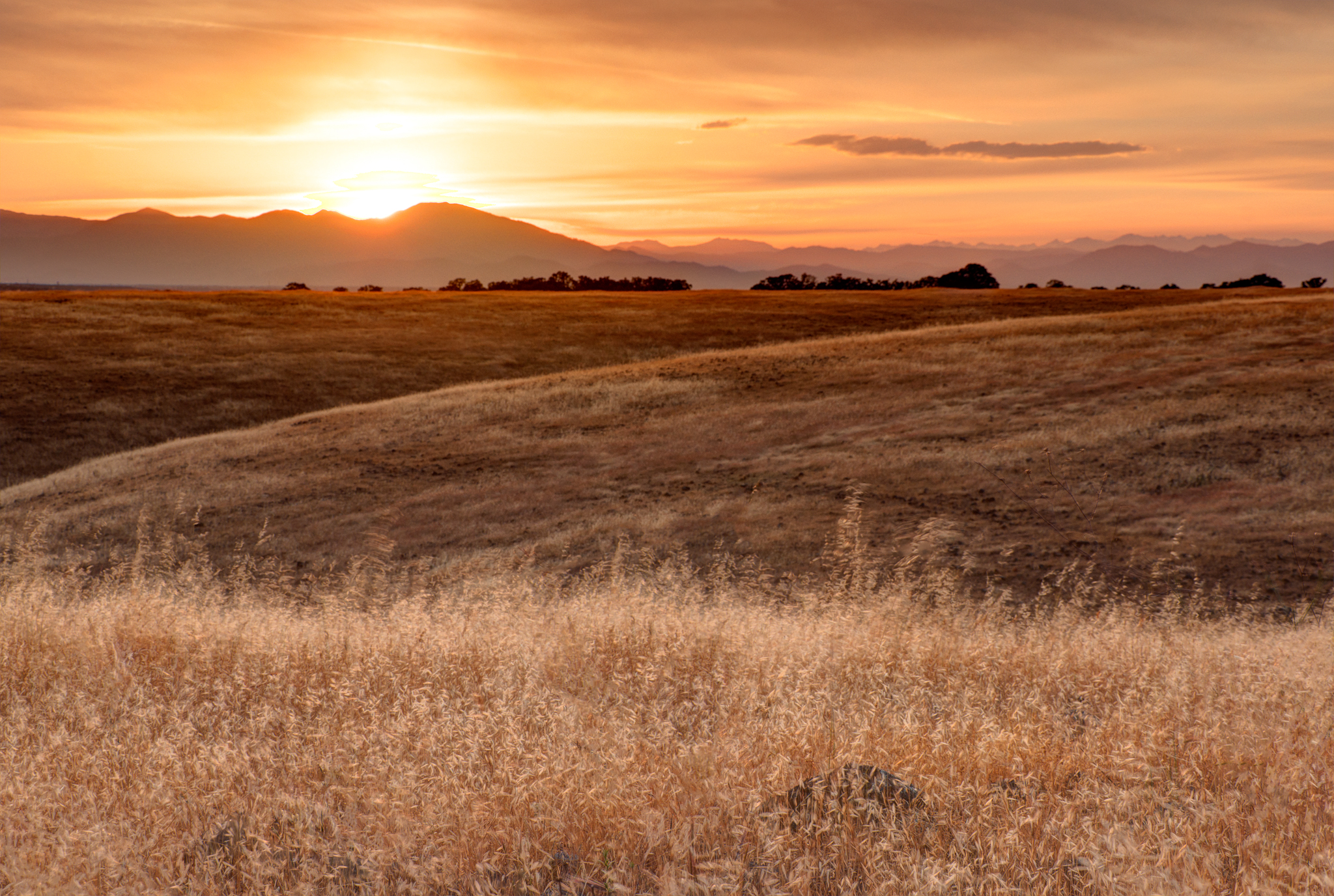
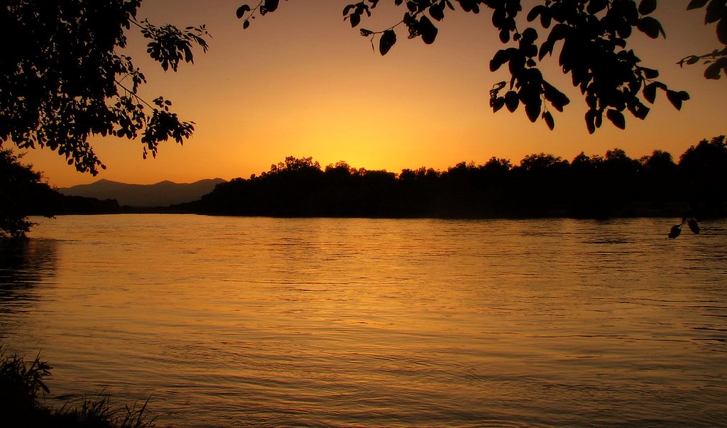
日出日落照片

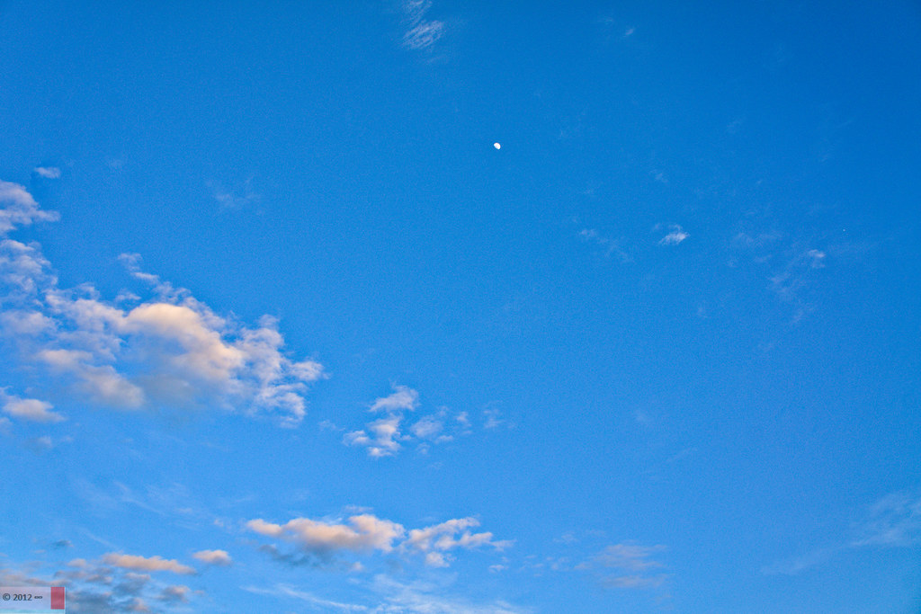
Clouds Deluxe
Sunset on the River
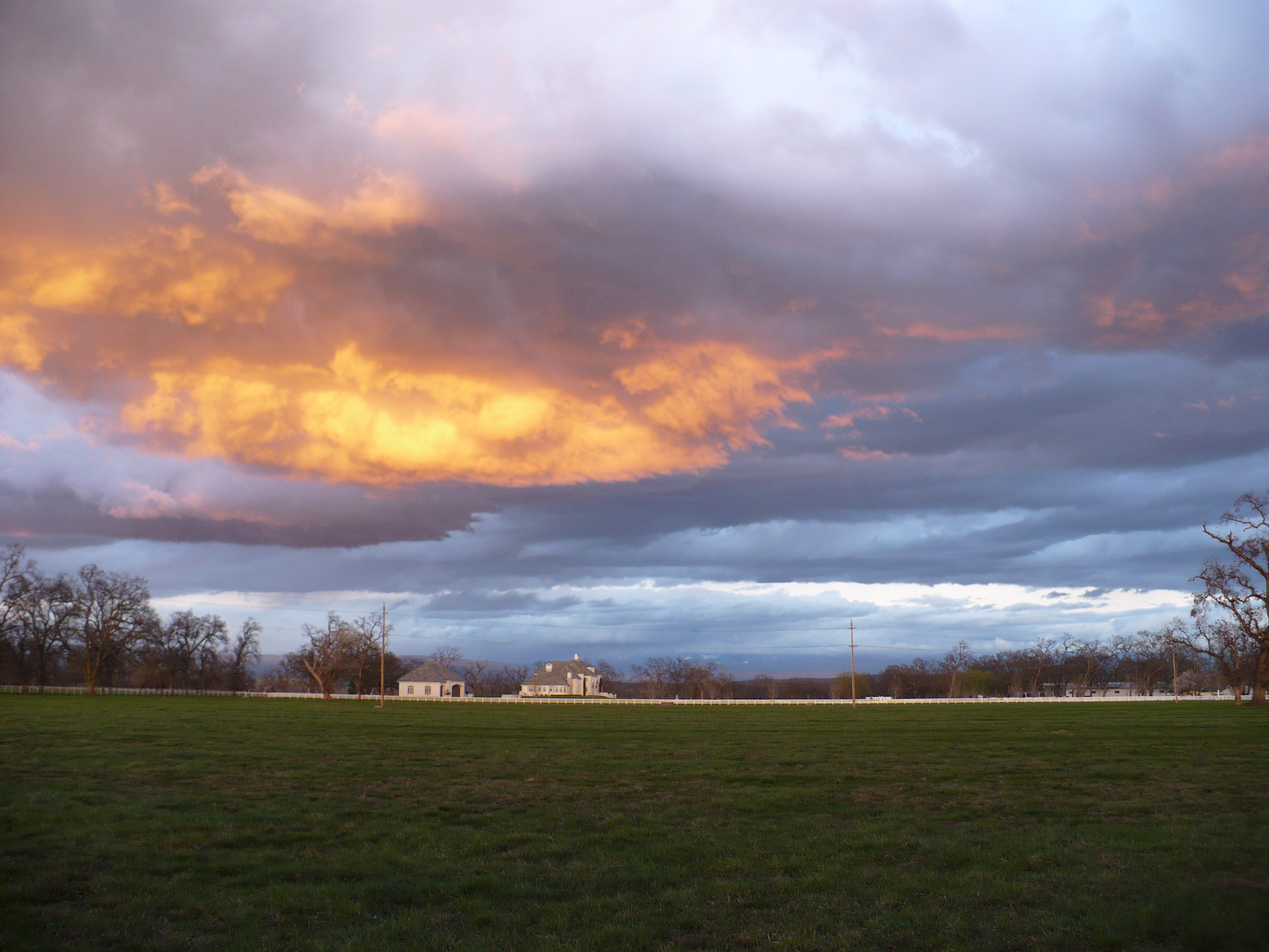
Passing storm
Sacramento Valley (Endless Hope)

Barge Hole (Red Bloom)
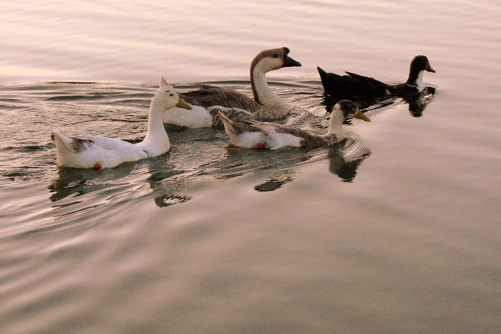
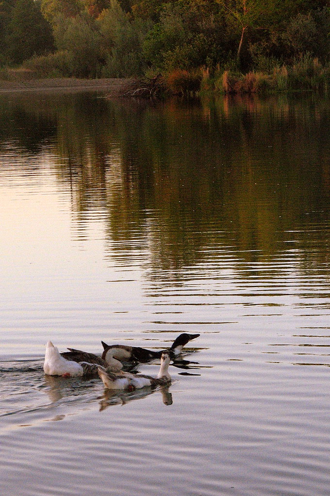
sacramento river sunset

Peace on the lake

Sunset on the Sacramento River
summer breeze

Break Open the Sky

Redding sunset - unaltered
A Shasta SkyLine
ready for summer

Interstate 5 Northbound Tehama Valley Freeway approaches at Exit 659 - Sunset Hills Road with this roadside sign located at Tehama County - South Cottonwood, California.

The Crossing

Interstate 5 Southbound Tehama Valley Freeway approaches at Exit 659 - Sunset Hills Drive & Auction Yard Road with this roadside sign located at Tehama County, California.

Interstate 5 Southbound Tehama Valley Freeway approaching Exit 659 - Sunset Hills Drive / Auction Yard Road 1 mile with this roadside sign located at Tehama County, California.
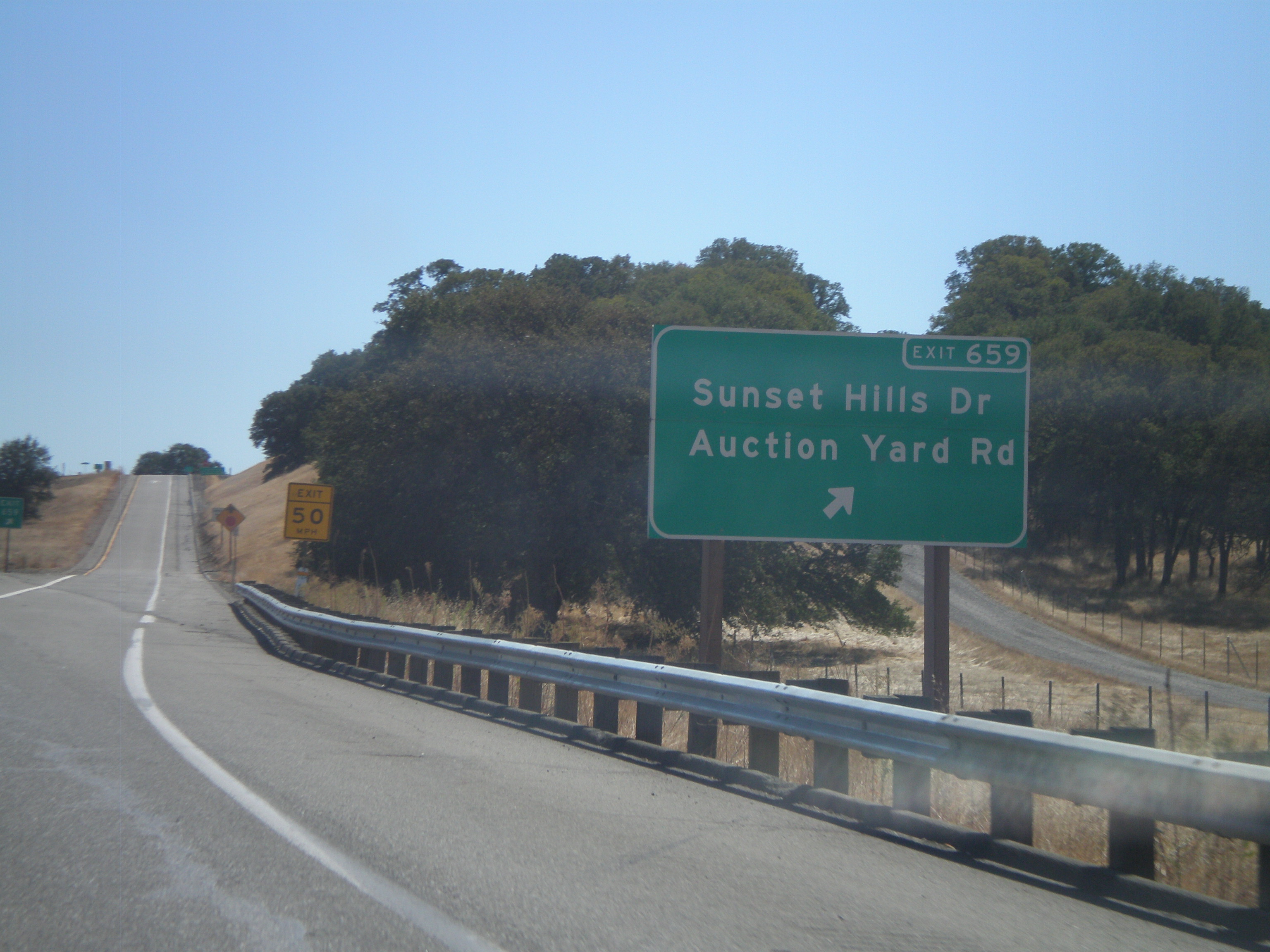
I-5 South - Exit 659
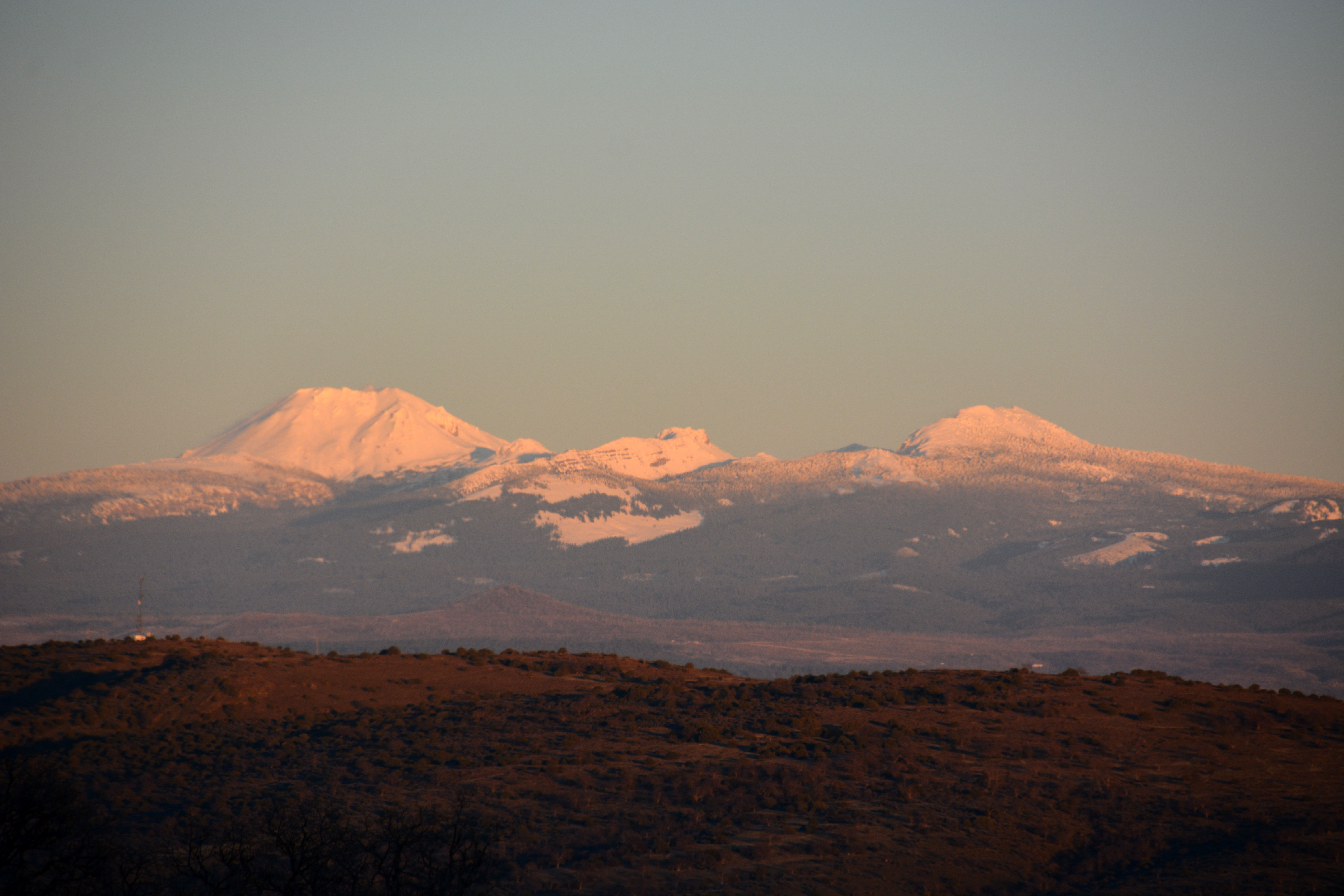
Lassen Sunset
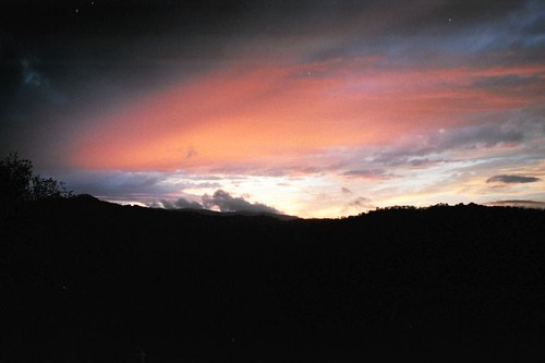
Redding Sunset

Calfire Helicopter 901 - N489DF Gulch Fire 2014
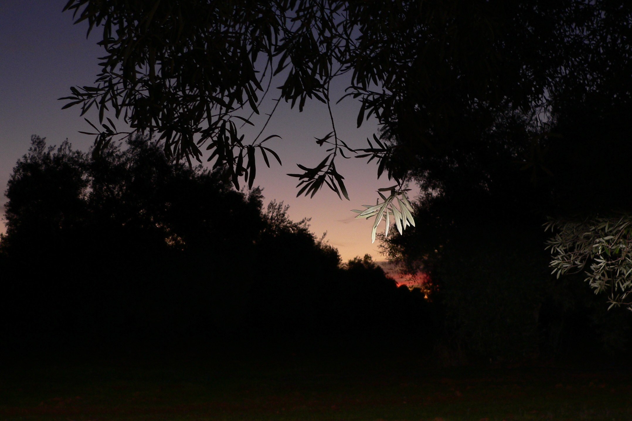
SUNRISE IN AN OLIVE ORCHARD

Sun coming up over Dersch Road Anderson Ca. On my way to attack Mount Lassen Peak. Couldn't pass up the sunrise shot.

Sunrise and Lowe's parking lot
美國加利福尼亞州安德森的地圖
搜索其他地方的日出日落時間
美國加利福尼亞州安德森的其他地方
附近地點
Cascade, Anderson, CA, 美國
Sharon Ave, Anderson, CA 美國
Aquado Ln, Cascade, CA 美國Aquado Lane
Pacheco, Redding, CA, 美國
Pacheco School Rd, Redding, CA 美國
Knighton Rd, Redding, CA 美國
Los Altos Dr, Palo Cedro, CA 美國
Madrone Way, Redding, CA 美國
Silver Bridge Rd, Palo Cedro, CA 美國
Capella St, Redding, CA 美國
Parkside Manor, Redding, CA 美國
Morningsun Dr, Redding, CA 美國
Silverfield Loop, Redding, CA 美國
Old 44 Dr, Redding, CA 美國Rare Air Trampoline Park
Woodhaven Homes, Redding, CA 美國
Marlene Ave, Redding, CA 美國
Redtail Ln, Palo Cedro, CA 美國
Palo Cedro, CA 美國
Deschutes Rd, Palo Cedro, CA 美國
Impala Dr, Anderson, CA 美國
最近搜索
- Nakanoshima, Shiogama, Miyagi -日本的日出日落時間表
- bp - 63 Rte de l'Observatoire, Bouzareah, 阿爾及利亞阿爾及爾天文台的日出日落時間表
- Crocker Dr, Vacaville, CA 美國的日出日落時間表
- 柬埔寨森莫諾隆HWHM+3X7Pu Ngaol Community Meeting Hall的日出日落時間表
- batu 10, Jalan Pantai, Port Dickson, Melaka, 馬來西亞Pantai Cermin的日出日落時間表
- 南非格魯伯斯普的日出日落時間表
- Petriti, 希臘的日出日落時間表
- Chesaw Rd, Oroville, WA 美國的日出日落時間表
- N, Mt Pleasant, UT 美國的日出日落時間表
- Kawanecho Sasamado, Shimada, Shizuoka -, Japan的日出日落時間表