Spring Creek Township, MO, 美国的日出日落时间表
Location: 美国 > 密苏里州 > 豪厄尔 >
时区:
America/Chicago
当地时间:
2024-05-01 12:09:07
经度:
-92.0469151
纬度:
36.6997631
今天日出时间:
06:12:05 AM
今天日落时间:
07:58:04 PM
今天日照时常:
13h 45m 59s
明天日出时间:
06:11:01 AM
明天日落时间:
07:58:57 PM
明天日照时常:
13h 47m 56s
显示所有日期
| 日期 | 日出 | 日落 | 日照时常 |
|---|---|---|---|
| 2024年01月01日 | 07:20:39 AM | 05:03:19 PM | 9h 42m 40s |
| 2024年01月02日 | 07:20:47 AM | 05:04:07 PM | 9h 43m 20s |
| 2024年01月03日 | 07:20:52 AM | 05:04:56 PM | 9h 44m 4s |
| 2024年01月04日 | 07:20:56 AM | 05:05:47 PM | 9h 44m 51s |
| 2024年01月05日 | 07:20:58 AM | 05:06:39 PM | 9h 45m 41s |
| 2024年01月06日 | 07:20:58 AM | 05:07:31 PM | 9h 46m 33s |
| 2024年01月07日 | 07:20:55 AM | 05:08:25 PM | 9h 47m 30s |
| 2024年01月08日 | 07:20:51 AM | 05:09:20 PM | 9h 48m 29s |
| 2024年01月09日 | 07:20:45 AM | 05:10:15 PM | 9h 49m 30s |
| 2024年01月10日 | 07:20:37 AM | 05:11:12 PM | 9h 50m 35s |
| 2024年01月11日 | 07:20:26 AM | 05:12:09 PM | 9h 51m 43s |
| 2024年01月12日 | 07:20:14 AM | 05:13:07 PM | 9h 52m 53s |
| 2024年01月13日 | 07:20:00 AM | 05:14:06 PM | 9h 54m 6s |
| 2024年01月14日 | 07:19:43 AM | 05:15:06 PM | 9h 55m 23s |
| 2024年01月15日 | 07:19:25 AM | 05:16:06 PM | 9h 56m 41s |
| 2024年01月16日 | 07:19:05 AM | 05:17:07 PM | 9h 58m 2s |
| 2024年01月17日 | 07:18:43 AM | 05:18:08 PM | 9h 59m 25s |
| 2024年01月18日 | 07:18:19 AM | 05:19:10 PM | 10h 0m 51s |
| 2024年01月19日 | 07:17:53 AM | 05:20:13 PM | 10h 2m 20s |
| 2024年01月20日 | 07:17:25 AM | 05:21:15 PM | 10h 3m 50s |
| 2024年01月21日 | 07:16:55 AM | 05:22:19 PM | 10h 5m 24s |
| 2024年01月22日 | 07:16:23 AM | 05:23:22 PM | 10h 6m 59s |
| 2024年01月23日 | 07:15:50 AM | 05:24:26 PM | 10h 8m 36s |
| 2024年01月24日 | 07:15:15 AM | 05:25:30 PM | 10h 10m 15s |
| 2024年01月25日 | 07:14:38 AM | 05:26:34 PM | 10h 11m 56s |
| 2024年01月26日 | 07:13:59 AM | 05:27:38 PM | 10h 13m 39s |
| 2024年01月27日 | 07:13:18 AM | 05:28:43 PM | 10h 15m 25s |
| 2024年01月28日 | 07:12:36 AM | 05:29:47 PM | 10h 17m 11s |
| 2024年01月29日 | 07:11:52 AM | 05:30:52 PM | 10h 19m 0s |
| 2024年01月30日 | 07:11:06 AM | 05:31:57 PM | 10h 20m 51s |
| 2024年01月31日 | 07:10:19 AM | 05:33:01 PM | 10h 22m 42s |
| 2024年02月01日 | 07:09:30 AM | 05:34:06 PM | 10h 24m 36s |
| 2024年02月02日 | 07:08:40 AM | 05:35:11 PM | 10h 26m 31s |
| 2024年02月03日 | 07:07:48 AM | 05:36:15 PM | 10h 28m 27s |
| 2024年02月04日 | 07:06:54 AM | 05:37:19 PM | 10h 30m 25s |
| 2024年02月05日 | 07:05:59 AM | 05:38:24 PM | 10h 32m 25s |
| 2024年02月06日 | 07:05:03 AM | 05:39:28 PM | 10h 34m 25s |
| 2024年02月07日 | 07:04:05 AM | 05:40:32 PM | 10h 36m 27s |
| 2024年02月08日 | 07:03:06 AM | 05:41:36 PM | 10h 38m 30s |
| 2024年02月09日 | 07:02:05 AM | 05:42:39 PM | 10h 40m 34s |
| 2024年02月10日 | 07:01:03 AM | 05:43:42 PM | 10h 42m 39s |
| 2024年02月11日 | 07:00:00 AM | 05:44:45 PM | 10h 44m 45s |
| 2024年02月12日 | 06:58:55 AM | 05:45:48 PM | 10h 46m 53s |
| 2024年02月13日 | 06:57:49 AM | 05:46:51 PM | 10h 49m 2s |
| 2024年02月14日 | 06:56:43 AM | 05:47:53 PM | 10h 51m 10s |
| 2024年02月15日 | 06:55:34 AM | 05:48:55 PM | 10h 53m 21s |
| 2024年02月16日 | 06:54:25 AM | 05:49:57 PM | 10h 55m 32s |
| 2024年02月17日 | 06:53:15 AM | 05:50:58 PM | 10h 57m 43s |
| 2024年02月18日 | 06:52:04 AM | 05:51:59 PM | 10h 59m 55s |
| 2024年02月19日 | 06:50:51 AM | 05:53:00 PM | 11h 2m 9s |
| 2024年02月20日 | 06:49:38 AM | 05:54:00 PM | 11h 4m 22s |
| 2024年02月21日 | 06:48:23 AM | 05:55:00 PM | 11h 6m 37s |
| 2024年02月22日 | 06:47:08 AM | 05:56:00 PM | 11h 8m 52s |
| 2024年02月23日 | 06:45:52 AM | 05:57:00 PM | 11h 11m 8s |
| 2024年02月24日 | 06:44:35 AM | 05:57:59 PM | 11h 13m 24s |
| 2024年02月25日 | 06:43:17 AM | 05:58:57 PM | 11h 15m 40s |
| 2024年02月26日 | 06:41:58 AM | 05:59:56 PM | 11h 17m 58s |
| 2024年02月27日 | 06:40:39 AM | 06:00:54 PM | 11h 20m 15s |
| 2024年02月28日 | 06:39:19 AM | 06:01:52 PM | 11h 22m 33s |
| 2024年02月29日 | 06:37:58 AM | 06:02:49 PM | 11h 24m 51s |
| 2024年03月01日 | 06:36:36 AM | 06:03:47 PM | 11h 27m 11s |
| 2024年03月02日 | 06:35:14 AM | 06:04:43 PM | 11h 29m 29s |
| 2024年03月03日 | 06:33:51 AM | 06:05:40 PM | 11h 31m 49s |
| 2024年03月04日 | 06:32:27 AM | 06:06:36 PM | 11h 34m 9s |
| 2024年03月05日 | 06:31:04 AM | 06:07:32 PM | 11h 36m 28s |
| 2024年03月06日 | 06:29:39 AM | 06:08:28 PM | 11h 38m 49s |
| 2024年03月07日 | 06:28:14 AM | 06:09:24 PM | 11h 41m 10s |
| 2024年03月08日 | 06:26:49 AM | 06:10:19 PM | 11h 43m 30s |
| 2024年03月09日 | 06:25:23 AM | 06:11:14 PM | 11h 45m 51s |
| 2024年03月10日 | 07:24:00 AM | 07:12:06 PM | 11h 48m 6s |
| 2024年03月11日 | 07:22:33 AM | 07:13:01 PM | 11h 50m 28s |
| 2024年03月12日 | 07:21:07 AM | 07:13:55 PM | 11h 52m 48s |
| 2024年03月13日 | 07:19:39 AM | 07:14:49 PM | 11h 55m 10s |
| 2024年03月14日 | 07:18:12 AM | 07:15:43 PM | 11h 57m 31s |
| 2024年03月15日 | 07:16:44 AM | 07:16:36 PM | 11h 59m 52s |
| 2024年03月16日 | 07:15:16 AM | 07:17:30 PM | 12h 2m 14s |
| 2024年03月17日 | 07:13:48 AM | 07:18:23 PM | 12h 4m 35s |
| 2024年03月18日 | 07:12:20 AM | 07:19:16 PM | 12h 6m 56s |
| 2024年03月19日 | 07:10:51 AM | 07:20:09 PM | 12h 9m 18s |
| 2024年03月20日 | 07:09:23 AM | 07:21:02 PM | 12h 11m 39s |
| 2024年03月21日 | 07:07:54 AM | 07:21:55 PM | 12h 14m 1s |
| 2024年03月22日 | 07:06:26 AM | 07:22:47 PM | 12h 16m 21s |
| 2024年03月23日 | 07:04:57 AM | 07:23:40 PM | 12h 18m 43s |
| 2024年03月24日 | 07:03:28 AM | 07:24:32 PM | 12h 21m 4s |
| 2024年03月25日 | 07:02:00 AM | 07:25:24 PM | 12h 23m 24s |
| 2024年03月26日 | 07:00:31 AM | 07:26:17 PM | 12h 25m 46s |
| 2024年03月27日 | 06:59:03 AM | 07:27:09 PM | 12h 28m 6s |
| 2024年03月28日 | 06:57:35 AM | 07:28:01 PM | 12h 30m 26s |
| 2024年03月29日 | 06:56:07 AM | 07:28:53 PM | 12h 32m 46s |
| 2024年03月30日 | 06:54:39 AM | 07:29:45 PM | 12h 35m 6s |
| 2024年03月31日 | 06:53:12 AM | 07:30:37 PM | 12h 37m 25s |
| 2024年04月01日 | 06:51:44 AM | 07:31:29 PM | 12h 39m 45s |
| 2024年04月02日 | 06:50:17 AM | 07:32:21 PM | 12h 42m 4s |
| 2024年04月03日 | 06:48:51 AM | 07:33:13 PM | 12h 44m 22s |
| 2024年04月04日 | 06:47:24 AM | 07:34:05 PM | 12h 46m 41s |
| 2024年04月05日 | 06:45:58 AM | 07:34:57 PM | 12h 48m 59s |
| 2024年04月06日 | 06:44:33 AM | 07:35:49 PM | 12h 51m 16s |
| 2024年04月07日 | 06:43:08 AM | 07:36:41 PM | 12h 53m 33s |
| 2024年04月08日 | 06:41:43 AM | 07:37:33 PM | 12h 55m 50s |
| 2024年04月09日 | 06:40:19 AM | 07:38:25 PM | 12h 58m 6s |
| 2024年04月10日 | 06:38:55 AM | 07:39:17 PM | 13h 0m 22s |
| 2024年04月11日 | 06:37:32 AM | 07:40:09 PM | 13h 2m 37s |
| 2024年04月12日 | 06:36:10 AM | 07:41:01 PM | 13h 4m 51s |
| 2024年04月13日 | 06:34:48 AM | 07:41:54 PM | 13h 7m 6s |
| 2024年04月14日 | 06:33:27 AM | 07:42:46 PM | 13h 9m 19s |
| 2024年04月15日 | 06:32:06 AM | 07:43:38 PM | 13h 11m 32s |
| 2024年04月16日 | 06:30:47 AM | 07:44:31 PM | 13h 13m 44s |
| 2024年04月17日 | 06:29:28 AM | 07:45:23 PM | 13h 15m 55s |
| 2024年04月18日 | 06:28:09 AM | 07:46:16 PM | 13h 18m 7s |
| 2024年04月19日 | 06:26:52 AM | 07:47:08 PM | 13h 20m 16s |
| 2024年04月20日 | 06:25:35 AM | 07:48:01 PM | 13h 22m 26s |
| 2024年04月21日 | 06:24:19 AM | 07:48:53 PM | 13h 24m 34s |
| 2024年04月22日 | 06:23:04 AM | 07:49:46 PM | 13h 26m 42s |
| 2024年04月23日 | 06:21:50 AM | 07:50:39 PM | 13h 28m 49s |
| 2024年04月24日 | 06:20:37 AM | 07:51:31 PM | 13h 30m 54s |
| 2024年04月25日 | 06:19:25 AM | 07:52:24 PM | 13h 32m 59s |
| 2024年04月26日 | 06:18:14 AM | 07:53:17 PM | 13h 35m 3s |
| 2024年04月27日 | 06:17:04 AM | 07:54:10 PM | 13h 37m 6s |
| 2024年04月28日 | 06:15:55 AM | 07:55:02 PM | 13h 39m 7s |
| 2024年04月29日 | 06:14:47 AM | 07:55:55 PM | 13h 41m 8s |
| 2024年04月30日 | 06:13:40 AM | 07:56:48 PM | 13h 43m 8s |
| 2024年05月01日 | 06:12:34 AM | 07:57:40 PM | 13h 45m 6s |
| 2024年05月02日 | 06:11:30 AM | 07:58:33 PM | 13h 47m 3s |
| 2024年05月03日 | 06:10:27 AM | 07:59:25 PM | 13h 48m 58s |
| 2024年05月04日 | 06:09:24 AM | 08:00:17 PM | 13h 50m 53s |
| 2024年05月05日 | 06:08:24 AM | 08:01:09 PM | 13h 52m 45s |
| 2024年05月06日 | 06:07:24 AM | 08:02:01 PM | 13h 54m 37s |
| 2024年05月07日 | 06:06:26 AM | 08:02:53 PM | 13h 56m 27s |
| 2024年05月08日 | 06:05:29 AM | 08:03:45 PM | 13h 58m 16s |
| 2024年05月09日 | 06:04:33 AM | 08:04:36 PM | 14h 0m 3s |
| 2024年05月10日 | 06:03:39 AM | 08:05:27 PM | 14h 1m 48s |
| 2024年05月11日 | 06:02:46 AM | 08:06:18 PM | 14h 3m 32s |
| 2024年05月12日 | 06:01:55 AM | 08:07:09 PM | 14h 5m 14s |
| 2024年05月13日 | 06:01:05 AM | 08:07:59 PM | 14h 6m 54s |
| 2024年05月14日 | 06:00:17 AM | 08:08:49 PM | 14h 8m 32s |
| 2024年05月15日 | 05:59:30 AM | 08:09:39 PM | 14h 10m 9s |
| 2024年05月16日 | 05:58:45 AM | 08:10:28 PM | 14h 11m 43s |
| 2024年05月17日 | 05:58:01 AM | 08:11:17 PM | 14h 13m 16s |
| 2024年05月18日 | 05:57:19 AM | 08:12:05 PM | 14h 14m 46s |
| 2024年05月19日 | 05:56:38 AM | 08:12:53 PM | 14h 16m 15s |
| 2024年05月20日 | 05:55:59 AM | 08:13:40 PM | 14h 17m 41s |
| 2024年05月21日 | 05:55:21 AM | 08:14:27 PM | 14h 19m 6s |
| 2024年05月22日 | 05:54:45 AM | 08:15:13 PM | 14h 20m 28s |
| 2024年05月23日 | 05:54:11 AM | 08:15:58 PM | 14h 21m 47s |
| 2024年05月24日 | 05:53:39 AM | 08:16:43 PM | 14h 23m 4s |
| 2024年05月25日 | 05:53:08 AM | 08:17:27 PM | 14h 24m 19s |
| 2024年05月26日 | 05:52:39 AM | 08:18:10 PM | 14h 25m 31s |
| 2024年05月27日 | 05:52:11 AM | 08:18:53 PM | 14h 26m 42s |
| 2024年05月28日 | 05:51:46 AM | 08:19:35 PM | 14h 27m 49s |
| 2024年05月29日 | 05:51:22 AM | 08:20:15 PM | 14h 28m 53s |
| 2024年05月30日 | 05:50:59 AM | 08:20:55 PM | 14h 29m 56s |
| 2024年05月31日 | 05:50:39 AM | 08:21:34 PM | 14h 30m 55s |
| 2024年06月01日 | 05:50:20 AM | 08:22:13 PM | 14h 31m 53s |
| 2024年06月02日 | 05:50:03 AM | 08:22:50 PM | 14h 32m 47s |
| 2024年06月03日 | 05:49:48 AM | 08:23:26 PM | 14h 33m 38s |
| 2024年06月04日 | 05:49:34 AM | 08:24:00 PM | 14h 34m 26s |
| 2024年06月05日 | 05:49:22 AM | 08:24:34 PM | 14h 35m 12s |
| 2024年06月06日 | 05:49:12 AM | 08:25:07 PM | 14h 35m 55s |
| 2024年06月07日 | 05:49:04 AM | 08:25:38 PM | 14h 36m 34s |
| 2024年06月08日 | 05:48:57 AM | 08:26:08 PM | 14h 37m 11s |
| 2024年06月09日 | 05:48:53 AM | 08:26:37 PM | 14h 37m 44s |
| 2024年06月10日 | 05:48:49 AM | 08:27:05 PM | 14h 38m 16s |
| 2024年06月11日 | 05:48:48 AM | 08:27:31 PM | 14h 38m 43s |
| 2024年06月12日 | 05:48:48 AM | 08:27:56 PM | 14h 39m 8s |
| 2024年06月13日 | 05:48:50 AM | 08:28:20 PM | 14h 39m 30s |
| 2024年06月14日 | 05:48:54 AM | 08:28:42 PM | 14h 39m 48s |
| 2024年06月15日 | 05:48:59 AM | 08:29:02 PM | 14h 40m 3s |
| 2024年06月16日 | 05:49:06 AM | 08:29:22 PM | 14h 40m 16s |
| 2024年06月17日 | 05:49:14 AM | 08:29:39 PM | 14h 40m 25s |
| 2024年06月18日 | 05:49:25 AM | 08:29:55 PM | 14h 40m 30s |
| 2024年06月19日 | 05:49:36 AM | 08:30:10 PM | 14h 40m 34s |
| 2024年06月20日 | 05:49:49 AM | 08:30:23 PM | 14h 40m 34s |
| 2024年06月21日 | 05:50:04 AM | 08:30:34 PM | 14h 40m 30s |
| 2024年06月22日 | 05:50:20 AM | 08:30:44 PM | 14h 40m 24s |
| 2024年06月23日 | 05:50:38 AM | 08:30:51 PM | 14h 40m 13s |
| 2024年06月24日 | 05:50:57 AM | 08:30:58 PM | 14h 40m 1s |
| 2024年06月25日 | 05:51:18 AM | 08:31:02 PM | 14h 39m 44s |
| 2024年06月26日 | 05:51:40 AM | 08:31:05 PM | 14h 39m 25s |
| 2024年06月27日 | 05:52:03 AM | 08:31:06 PM | 14h 39m 3s |
| 2024年06月28日 | 05:52:28 AM | 08:31:06 PM | 14h 38m 38s |
| 2024年06月29日 | 05:52:54 AM | 08:31:03 PM | 14h 38m 9s |
| 2024年06月30日 | 05:53:21 AM | 08:30:59 PM | 14h 37m 38s |
| 2024年07月01日 | 05:53:49 AM | 08:30:54 PM | 14h 37m 5s |
| 2024年07月02日 | 05:54:19 AM | 08:30:46 PM | 14h 36m 27s |
| 2024年07月03日 | 05:54:50 AM | 08:30:36 PM | 14h 35m 46s |
| 2024年07月04日 | 05:55:22 AM | 08:30:25 PM | 14h 35m 3s |
| 2024年07月05日 | 05:55:55 AM | 08:30:12 PM | 14h 34m 17s |
| 2024年07月06日 | 05:56:29 AM | 08:29:57 PM | 14h 33m 28s |
| 2024年07月07日 | 05:57:04 AM | 08:29:41 PM | 14h 32m 37s |
| 2024年07月08日 | 05:57:40 AM | 08:29:23 PM | 14h 31m 43s |
| 2024年07月09日 | 05:58:16 AM | 08:29:02 PM | 14h 30m 46s |
| 2024年07月10日 | 05:58:54 AM | 08:28:40 PM | 14h 29m 46s |
| 2024年07月11日 | 05:59:33 AM | 08:28:17 PM | 14h 28m 44s |
| 2024年07月12日 | 06:00:12 AM | 08:27:51 PM | 14h 27m 39s |
| 2024年07月13日 | 06:00:52 AM | 08:27:24 PM | 14h 26m 32s |
| 2024年07月14日 | 06:01:33 AM | 08:26:55 PM | 14h 25m 22s |
| 2024年07月15日 | 06:02:15 AM | 08:26:25 PM | 14h 24m 10s |
| 2024年07月16日 | 06:02:57 AM | 08:25:52 PM | 14h 22m 55s |
| 2024年07月17日 | 06:03:40 AM | 08:25:18 PM | 14h 21m 38s |
| 2024年07月18日 | 06:04:24 AM | 08:24:42 PM | 14h 20m 18s |
| 2024年07月19日 | 06:05:08 AM | 08:24:05 PM | 14h 18m 57s |
| 2024年07月20日 | 06:05:53 AM | 08:23:26 PM | 14h 17m 33s |
| 2024年07月21日 | 06:06:38 AM | 08:22:45 PM | 14h 16m 7s |
| 2024年07月22日 | 06:07:23 AM | 08:22:03 PM | 14h 14m 40s |
| 2024年07月23日 | 06:08:09 AM | 08:21:19 PM | 14h 13m 10s |
| 2024年07月24日 | 06:08:56 AM | 08:20:33 PM | 14h 11m 37s |
| 2024年07月25日 | 06:09:42 AM | 08:19:46 PM | 14h 10m 4s |
| 2024年07月26日 | 06:10:29 AM | 08:18:57 PM | 14h 8m 28s |
| 2024年07月27日 | 06:11:17 AM | 08:18:07 PM | 14h 6m 50s |
| 2024年07月28日 | 06:12:05 AM | 08:17:16 PM | 14h 5m 11s |
| 2024年07月29日 | 06:12:52 AM | 08:16:23 PM | 14h 3m 31s |
| 2024年07月30日 | 06:13:41 AM | 08:15:28 PM | 14h 1m 47s |
| 2024年07月31日 | 06:14:29 AM | 08:14:32 PM | 14h 0m 3s |
| 2024年08月01日 | 06:15:17 AM | 08:13:35 PM | 13h 58m 18s |
| 2024年08月02日 | 06:16:06 AM | 08:12:36 PM | 13h 56m 30s |
| 2024年08月03日 | 06:16:55 AM | 08:11:36 PM | 13h 54m 41s |
| 2024年08月04日 | 06:17:44 AM | 08:10:35 PM | 13h 52m 51s |
| 2024年08月05日 | 06:18:33 AM | 08:09:32 PM | 13h 50m 59s |
| 2024年08月06日 | 06:19:22 AM | 08:08:28 PM | 13h 49m 6s |
| 2024年08月07日 | 06:20:11 AM | 08:07:23 PM | 13h 47m 12s |
| 2024年08月08日 | 06:21:00 AM | 08:06:16 PM | 13h 45m 16s |
| 2024年08月09日 | 06:21:50 AM | 08:05:09 PM | 13h 43m 19s |
| 2024年08月10日 | 06:22:39 AM | 08:04:00 PM | 13h 41m 21s |
| 2024年08月11日 | 06:23:28 AM | 08:02:50 PM | 13h 39m 22s |
| 2024年08月12日 | 06:24:17 AM | 08:01:40 PM | 13h 37m 23s |
| 2024年08月13日 | 06:25:07 AM | 08:00:28 PM | 13h 35m 21s |
| 2024年08月14日 | 06:25:56 AM | 07:59:15 PM | 13h 33m 19s |
| 2024年08月15日 | 06:26:45 AM | 07:58:01 PM | 13h 31m 16s |
| 2024年08月16日 | 06:27:34 AM | 07:56:46 PM | 13h 29m 12s |
| 2024年08月17日 | 06:28:23 AM | 07:55:30 PM | 13h 27m 7s |
| 2024年08月18日 | 06:29:12 AM | 07:54:13 PM | 13h 25m 1s |
| 2024年08月19日 | 06:30:01 AM | 07:52:55 PM | 13h 22m 54s |
| 2024年08月20日 | 06:30:49 AM | 07:51:37 PM | 13h 20m 48s |
| 2024年08月21日 | 06:31:38 AM | 07:50:17 PM | 13h 18m 39s |
| 2024年08月22日 | 06:32:27 AM | 07:48:57 PM | 13h 16m 30s |
| 2024年08月23日 | 06:33:15 AM | 07:47:36 PM | 13h 14m 21s |
| 2024年08月24日 | 06:34:04 AM | 07:46:14 PM | 13h 12m 10s |
| 2024年08月25日 | 06:34:52 AM | 07:44:52 PM | 13h 10m 0s |
| 2024年08月26日 | 06:35:41 AM | 07:43:29 PM | 13h 7m 48s |
| 2024年08月27日 | 06:36:29 AM | 07:42:05 PM | 13h 5m 36s |
| 2024年08月28日 | 06:37:17 AM | 07:40:40 PM | 13h 3m 23s |
| 2024年08月29日 | 06:38:05 AM | 07:39:15 PM | 13h 1m 10s |
| 2024年08月30日 | 06:38:53 AM | 07:37:50 PM | 12h 58m 57s |
| 2024年08月31日 | 06:39:41 AM | 07:36:24 PM | 12h 56m 43s |
| 2024年09月01日 | 06:40:29 AM | 07:34:57 PM | 12h 54m 28s |
| 2024年09月02日 | 06:41:17 AM | 07:33:30 PM | 12h 52m 13s |
| 2024年09月03日 | 06:42:04 AM | 07:32:02 PM | 12h 49m 58s |
| 2024年09月04日 | 06:42:52 AM | 07:30:34 PM | 12h 47m 42s |
| 2024年09月05日 | 06:43:40 AM | 07:29:06 PM | 12h 45m 26s |
| 2024年09月06日 | 06:44:28 AM | 07:27:37 PM | 12h 43m 9s |
| 2024年09月07日 | 06:45:15 AM | 07:26:08 PM | 12h 40m 53s |
| 2024年09月08日 | 06:46:03 AM | 07:24:39 PM | 12h 38m 36s |
| 2024年09月09日 | 06:46:51 AM | 07:23:09 PM | 12h 36m 18s |
| 2024年09月10日 | 06:47:38 AM | 07:21:39 PM | 12h 34m 1s |
| 2024年09月11日 | 06:48:26 AM | 07:20:09 PM | 12h 31m 43s |
| 2024年09月12日 | 06:49:14 AM | 07:18:39 PM | 12h 29m 25s |
| 2024年09月13日 | 06:50:01 AM | 07:17:08 PM | 12h 27m 7s |
| 2024年09月14日 | 06:50:49 AM | 07:15:38 PM | 12h 24m 49s |
| 2024年09月15日 | 06:51:37 AM | 07:14:07 PM | 12h 22m 30s |
| 2024年09月16日 | 06:52:25 AM | 07:12:36 PM | 12h 20m 11s |
| 2024年09月17日 | 06:53:13 AM | 07:11:05 PM | 12h 17m 52s |
| 2024年09月18日 | 06:54:01 AM | 07:09:34 PM | 12h 15m 33s |
| 2024年09月19日 | 06:54:49 AM | 07:08:03 PM | 12h 13m 14s |
| 2024年09月20日 | 06:55:37 AM | 07:06:33 PM | 12h 10m 56s |
| 2024年09月21日 | 06:56:26 AM | 07:05:02 PM | 12h 8m 36s |
| 2024年09月22日 | 06:57:14 AM | 07:03:31 PM | 12h 6m 17s |
| 2024年09月23日 | 06:58:03 AM | 07:02:01 PM | 12h 3m 58s |
| 2024年09月24日 | 06:58:52 AM | 07:00:30 PM | 12h 1m 38s |
| 2024年09月25日 | 06:59:41 AM | 06:59:00 PM | 11h 59m 19s |
| 2024年09月26日 | 07:00:30 AM | 06:57:30 PM | 11h 57m 0s |
| 2024年09月27日 | 07:01:20 AM | 06:56:00 PM | 11h 54m 40s |
| 2024年09月28日 | 07:02:09 AM | 06:54:31 PM | 11h 52m 22s |
| 2024年09月29日 | 07:02:59 AM | 06:53:02 PM | 11h 50m 3s |
| 2024年09月30日 | 07:03:49 AM | 06:51:33 PM | 11h 47m 44s |
| 2024年10月01日 | 07:04:40 AM | 06:50:05 PM | 11h 45m 25s |
| 2024年10月02日 | 07:05:30 AM | 06:48:37 PM | 11h 43m 7s |
| 2024年10月03日 | 07:06:21 AM | 06:47:09 PM | 11h 40m 48s |
| 2024年10月04日 | 07:07:12 AM | 06:45:42 PM | 11h 38m 30s |
| 2024年10月05日 | 07:08:04 AM | 06:44:15 PM | 11h 36m 11s |
| 2024年10月06日 | 07:08:55 AM | 06:42:49 PM | 11h 33m 54s |
| 2024年10月07日 | 07:09:47 AM | 06:41:23 PM | 11h 31m 36s |
| 2024年10月08日 | 07:10:40 AM | 06:39:58 PM | 11h 29m 18s |
| 2024年10月09日 | 07:11:32 AM | 06:38:34 PM | 11h 27m 2s |
| 2024年10月10日 | 07:12:25 AM | 06:37:10 PM | 11h 24m 45s |
| 2024年10月11日 | 07:13:19 AM | 06:35:47 PM | 11h 22m 28s |
| 2024年10月12日 | 07:14:12 AM | 06:34:24 PM | 11h 20m 12s |
| 2024年10月13日 | 07:15:06 AM | 06:33:03 PM | 11h 17m 57s |
| 2024年10月14日 | 07:16:00 AM | 06:31:42 PM | 11h 15m 42s |
| 2024年10月15日 | 07:16:55 AM | 06:30:22 PM | 11h 13m 27s |
| 2024年10月16日 | 07:17:50 AM | 06:29:02 PM | 11h 11m 12s |
| 2024年10月17日 | 07:18:45 AM | 06:27:44 PM | 11h 8m 59s |
| 2024年10月18日 | 07:19:41 AM | 06:26:26 PM | 11h 6m 45s |
| 2024年10月19日 | 07:20:37 AM | 06:25:10 PM | 11h 4m 33s |
| 2024年10月20日 | 07:21:34 AM | 06:23:54 PM | 11h 2m 20s |
| 2024年10月21日 | 07:22:30 AM | 06:22:39 PM | 11h 0m 9s |
| 2024年10月22日 | 07:23:27 AM | 06:21:26 PM | 10h 57m 59s |
| 2024年10月23日 | 07:24:25 AM | 06:20:13 PM | 10h 55m 48s |
| 2024年10月24日 | 07:25:23 AM | 06:19:01 PM | 10h 53m 38s |
| 2024年10月25日 | 07:26:21 AM | 06:17:51 PM | 10h 51m 30s |
| 2024年10月26日 | 07:27:19 AM | 06:16:42 PM | 10h 49m 23s |
| 2024年10月27日 | 07:28:18 AM | 06:15:34 PM | 10h 47m 16s |
| 2024年10月28日 | 07:29:17 AM | 06:14:27 PM | 10h 45m 10s |
| 2024年10月29日 | 07:30:16 AM | 06:13:21 PM | 10h 43m 5s |
| 2024年10月30日 | 07:31:16 AM | 06:12:17 PM | 10h 41m 1s |
| 2024年10月31日 | 07:32:16 AM | 06:11:14 PM | 10h 38m 58s |
| 2024年11月01日 | 07:33:16 AM | 06:10:12 PM | 10h 36m 56s |
| 2024年11月02日 | 07:34:17 AM | 06:09:12 PM | 10h 34m 55s |
| 2024年11月03日 | 06:35:20 AM | 05:08:11 PM | 10h 32m 51s |
| 2024年11月04日 | 06:36:21 AM | 05:07:13 PM | 10h 30m 52s |
| 2024年11月05日 | 06:37:22 AM | 05:06:18 PM | 10h 28m 56s |
| 2024年11月06日 | 06:38:23 AM | 05:05:23 PM | 10h 27m 0s |
| 2024年11月07日 | 06:39:24 AM | 05:04:30 PM | 10h 25m 6s |
| 2024年11月08日 | 06:40:26 AM | 05:03:39 PM | 10h 23m 13s |
| 2024年11月09日 | 06:41:28 AM | 05:02:50 PM | 10h 21m 22s |
| 2024年11月10日 | 06:42:29 AM | 05:02:02 PM | 10h 19m 33s |
| 2024年11月11日 | 06:43:31 AM | 05:01:15 PM | 10h 17m 44s |
| 2024年11月12日 | 06:44:33 AM | 05:00:30 PM | 10h 15m 57s |
| 2024年11月13日 | 06:45:34 AM | 04:59:48 PM | 10h 14m 14s |
| 2024年11月14日 | 06:46:36 AM | 04:59:06 PM | 10h 12m 30s |
| 2024年11月15日 | 06:47:38 AM | 04:58:27 PM | 10h 10m 49s |
| 2024年11月16日 | 06:48:39 AM | 04:57:49 PM | 10h 9m 10s |
| 2024年11月17日 | 06:49:40 AM | 04:57:13 PM | 10h 7m 33s |
| 2024年11月18日 | 06:50:41 AM | 04:56:39 PM | 10h 5m 58s |
| 2024年11月19日 | 06:51:42 AM | 04:56:07 PM | 10h 4m 25s |
| 2024年11月20日 | 06:52:43 AM | 04:55:37 PM | 10h 2m 54s |
| 2024年11月21日 | 06:53:43 AM | 04:55:09 PM | 10h 1m 26s |
| 2024年11月22日 | 06:54:43 AM | 04:54:42 PM | 9h 59m 59s |
| 2024年11月23日 | 06:55:43 AM | 04:54:18 PM | 9h 58m 35s |
| 2024年11月24日 | 06:56:42 AM | 04:53:55 PM | 9h 57m 13s |
| 2024年11月25日 | 06:57:40 AM | 04:53:35 PM | 9h 55m 55s |
| 2024年11月26日 | 06:58:38 AM | 04:53:16 PM | 9h 54m 38s |
| 2024年11月27日 | 06:59:36 AM | 04:53:00 PM | 9h 53m 24s |
| 2024年11月28日 | 07:00:32 AM | 04:52:46 PM | 9h 52m 14s |
| 2024年11月29日 | 07:01:28 AM | 04:52:33 PM | 9h 51m 5s |
| 2024年11月30日 | 07:02:24 AM | 04:52:23 PM | 9h 49m 59s |
| 2024年12月01日 | 07:03:18 AM | 04:52:14 PM | 9h 48m 56s |
| 2024年12月02日 | 07:04:12 AM | 04:52:08 PM | 9h 47m 56s |
| 2024年12月03日 | 07:05:05 AM | 04:52:04 PM | 9h 46m 59s |
| 2024年12月04日 | 07:05:57 AM | 04:52:02 PM | 9h 46m 5s |
| 2024年12月05日 | 07:06:48 AM | 04:52:01 PM | 9h 45m 13s |
| 2024年12月06日 | 07:07:38 AM | 04:52:03 PM | 9h 44m 25s |
| 2024年12月07日 | 07:08:26 AM | 04:52:07 PM | 9h 43m 41s |
| 2024年12月08日 | 07:09:14 AM | 04:52:13 PM | 9h 42m 59s |
| 2024年12月09日 | 07:10:00 AM | 04:52:21 PM | 9h 42m 21s |
| 2024年12月10日 | 07:10:46 AM | 04:52:31 PM | 9h 41m 45s |
| 2024年12月11日 | 07:11:30 AM | 04:52:43 PM | 9h 41m 13s |
| 2024年12月12日 | 07:12:12 AM | 04:52:57 PM | 9h 40m 45s |
| 2024年12月13日 | 07:12:54 AM | 04:53:13 PM | 9h 40m 19s |
| 2024年12月14日 | 07:13:33 AM | 04:53:31 PM | 9h 39m 58s |
| 2024年12月15日 | 07:14:12 AM | 04:53:51 PM | 9h 39m 39s |
| 2024年12月16日 | 07:14:49 AM | 04:54:13 PM | 9h 39m 24s |
| 2024年12月17日 | 07:15:24 AM | 04:54:37 PM | 9h 39m 13s |
| 2024年12月18日 | 07:15:58 AM | 04:55:02 PM | 9h 39m 4s |
| 2024年12月19日 | 07:16:30 AM | 04:55:30 PM | 9h 39m 0s |
| 2024年12月20日 | 07:17:00 AM | 04:55:59 PM | 9h 38m 59s |
| 2024年12月21日 | 07:17:29 AM | 04:56:30 PM | 9h 39m 1s |
| 2024年12月22日 | 07:17:56 AM | 04:57:02 PM | 9h 39m 6s |
| 2024年12月23日 | 07:18:21 AM | 04:57:37 PM | 9h 39m 16s |
| 2024年12月24日 | 07:18:45 AM | 04:58:13 PM | 9h 39m 28s |
| 2024年12月25日 | 07:19:06 AM | 04:58:50 PM | 9h 39m 44s |
| 2024年12月26日 | 07:19:26 AM | 04:59:30 PM | 9h 40m 4s |
| 2024年12月27日 | 07:19:44 AM | 05:00:10 PM | 9h 40m 26s |
| 2024年12月28日 | 07:20:00 AM | 05:00:53 PM | 9h 40m 53s |
| 2024年12月29日 | 07:20:14 AM | 05:01:36 PM | 9h 41m 22s |
| 2024年12月30日 | 07:20:26 AM | 05:02:21 PM | 9h 41m 55s |
日出日落照片
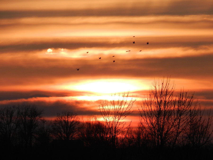
Sunset 2-16-12
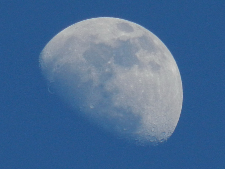
Sunset Moon
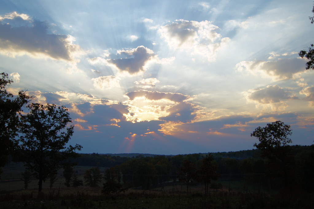
Oct sunrise 2

Camping by the North Fork River - Devils Backbone Wilderness
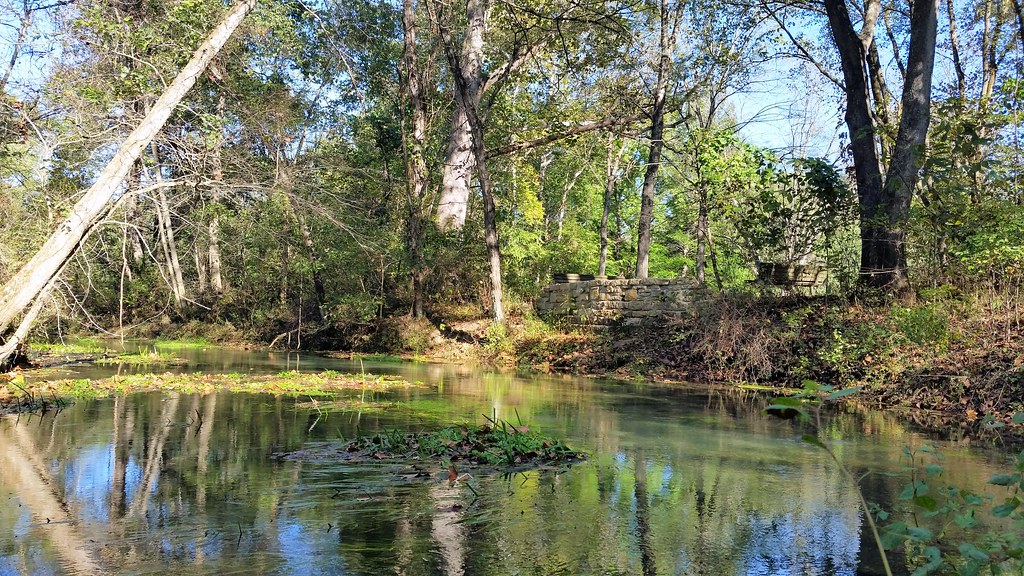
October 1, 2015 | Lane Spring | Phelps County MO
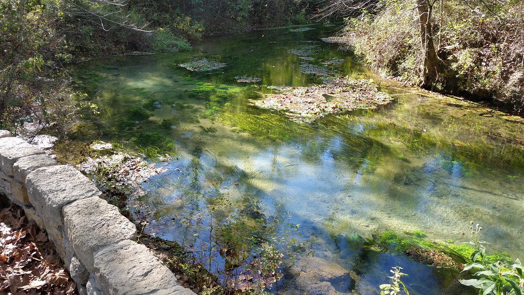
October 1, 2015 | Overlooking Lane Spring | Phelps County MO
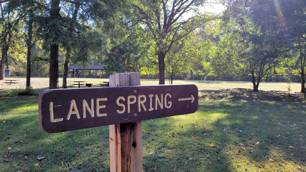
October 1, 2015 | This way to Lane Spring | Phelps County MO
Spring Creek Township, MO, 美国的地图
查询其他地方的日出日落时间
Spring Creek Township, MO, 美国的其他地方
附近地点
美国密苏里州波特斯维尔
Caulfield, MO 美国
MO-, Caulfield, MO 美国
Bayou II Township, MO, 美国
E Pamela Dr, West Plains, MO 美国
Co Rd, West Plains, MO 美国
Dry Creek Township, MO, 美国
美国密苏里州西普莱恩斯
Wayhaven Ave, West Plains, MO 美国Wayhaven Avenue
Co Rd, Caulfield, MO 美国
美国密苏里州多拉
Luna Dr, West Plains, MO 美国
S Aid Ave, West Plains, MO 美国
美国密苏里州西普莱恩斯N-A
美国密苏里州西普莱恩斯
美国密苏里州里奇兰
美国密苏里州南福克
美国密苏里州豪厄尔
State Hwy H, Caulfield, MO 美国
美国密苏里州波莫纳
最近搜索
- 6 Rue Jules Ferry, Beausoleil, France的日出日落时间表
- 西班牙比斯开省奥钱迪亚诺的日出日落时间表
- 4JC6+G9P, Vinayak Nagar, Kattigenahalli, Bengaluru, Karnataka 印度Sattva Horizon的日出日落时间表
- Mount Fuji, Kitayama, Fujinomiya, Shizuoka -, Japan的日出日落时间表
- Laurel Rd, Townsend, TN 美国的日出日落时间表
- 中国广东省深圳市龙岗区海滨南路GFPQ+R9Q的日出日落时间表
- Redondo Ave, Long Beach, CA 美国的日出日落时间表
- Ulitsa Kalinina, 79, Rezh, Sverdlovskaya oblast', 俄罗斯的日出日落时间表
- Leguwa 尼泊尔的日出日落时间表
- Shustino, Vladimir Oblast, 俄罗斯的日出日落时间表