Rocky Rd, Tonto Basin, AZ 美国的日出日落时间表
Location: 美国 > 亚利桑那州 > 希拉 > 美国亚利桑那州通托贝森 >
时区:
America/Phoenix
当地时间:
2024-05-29 21:02:06
经度:
-111.3037015
纬度:
33.8387794
今天日出时间:
05:15:38 AM
今天日落时间:
07:30:12 PM
今天日照时常:
14h 14m 34s
明天日出时间:
05:15:20 AM
明天日落时间:
07:30:48 PM
明天日照时常:
14h 15m 28s
显示所有日期
| 日期 | 日出 | 日落 | 日照时常 |
|---|---|---|---|
| 2024年01月01日 | 07:30:17 AM | 05:27:49 PM | 9h 57m 32s |
| 2024年01月02日 | 07:30:27 AM | 05:28:35 PM | 9h 58m 8s |
| 2024年01月03日 | 07:30:35 AM | 05:29:22 PM | 9h 58m 47s |
| 2024年01月04日 | 07:30:41 AM | 05:30:10 PM | 9h 59m 29s |
| 2024年01月05日 | 07:30:46 AM | 05:30:59 PM | 10h 0m 13s |
| 2024年01月06日 | 07:30:48 AM | 05:31:49 PM | 10h 1m 1s |
| 2024年01月07日 | 07:30:49 AM | 05:32:40 PM | 10h 1m 51s |
| 2024年01月08日 | 07:30:48 AM | 05:33:31 PM | 10h 2m 43s |
| 2024年01月09日 | 07:30:44 AM | 05:34:24 PM | 10h 3m 40s |
| 2024年01月10日 | 07:30:40 AM | 05:35:17 PM | 10h 4m 37s |
| 2024年01月11日 | 07:30:33 AM | 05:36:11 PM | 10h 5m 38s |
| 2024年01月12日 | 07:30:24 AM | 05:37:05 PM | 10h 6m 41s |
| 2024年01月13日 | 07:30:14 AM | 05:38:00 PM | 10h 7m 46s |
| 2024年01月14日 | 07:30:01 AM | 05:38:56 PM | 10h 8m 55s |
| 2024年01月15日 | 07:29:47 AM | 05:39:52 PM | 10h 10m 5s |
| 2024年01月16日 | 07:29:31 AM | 05:40:48 PM | 10h 11m 17s |
| 2024年01月17日 | 07:29:13 AM | 05:41:45 PM | 10h 12m 32s |
| 2024年01月18日 | 07:28:54 AM | 05:42:42 PM | 10h 13m 48s |
| 2024年01月19日 | 07:28:32 AM | 05:43:40 PM | 10h 15m 8s |
| 2024年01月20日 | 07:28:09 AM | 05:44:38 PM | 10h 16m 29s |
| 2024年01月21日 | 07:27:44 AM | 05:45:36 PM | 10h 17m 52s |
| 2024年01月22日 | 07:27:17 AM | 05:46:34 PM | 10h 19m 17s |
| 2024年01月23日 | 07:26:49 AM | 05:47:33 PM | 10h 20m 44s |
| 2024年01月24日 | 07:26:19 AM | 05:48:32 PM | 10h 22m 13s |
| 2024年01月25日 | 07:25:47 AM | 05:49:31 PM | 10h 23m 44s |
| 2024年01月26日 | 07:25:13 AM | 05:50:29 PM | 10h 25m 16s |
| 2024年01月27日 | 07:24:38 AM | 05:51:28 PM | 10h 26m 50s |
| 2024年01月28日 | 07:24:01 AM | 05:52:27 PM | 10h 28m 26s |
| 2024年01月29日 | 07:23:23 AM | 05:53:26 PM | 10h 30m 3s |
| 2024年01月30日 | 07:22:43 AM | 05:54:25 PM | 10h 31m 42s |
| 2024年01月31日 | 07:22:01 AM | 05:55:24 PM | 10h 33m 23s |
| 2024年02月01日 | 07:21:18 AM | 05:56:22 PM | 10h 35m 4s |
| 2024年02月02日 | 07:20:34 AM | 05:57:21 PM | 10h 36m 47s |
| 2024年02月03日 | 07:19:48 AM | 05:58:19 PM | 10h 38m 31s |
| 2024年02月04日 | 07:19:00 AM | 05:59:18 PM | 10h 40m 18s |
| 2024年02月05日 | 07:18:11 AM | 06:00:16 PM | 10h 42m 5s |
| 2024年02月06日 | 07:17:21 AM | 06:01:13 PM | 10h 43m 52s |
| 2024年02月07日 | 07:16:29 AM | 06:02:11 PM | 10h 45m 42s |
| 2024年02月08日 | 07:15:36 AM | 06:03:08 PM | 10h 47m 32s |
| 2024年02月09日 | 07:14:42 AM | 06:04:05 PM | 10h 49m 23s |
| 2024年02月10日 | 07:13:46 AM | 06:05:02 PM | 10h 51m 16s |
| 2024年02月11日 | 07:12:50 AM | 06:05:59 PM | 10h 53m 9s |
| 2024年02月12日 | 07:11:52 AM | 06:06:55 PM | 10h 55m 3s |
| 2024年02月13日 | 07:10:52 AM | 06:07:51 PM | 10h 56m 59s |
| 2024年02月14日 | 07:09:52 AM | 06:08:46 PM | 10h 58m 54s |
| 2024年02月15日 | 07:08:51 AM | 06:09:42 PM | 11h 0m 51s |
| 2024年02月16日 | 07:07:48 AM | 06:10:36 PM | 11h 2m 48s |
| 2024年02月17日 | 07:06:44 AM | 06:11:31 PM | 11h 4m 47s |
| 2024年02月18日 | 07:05:40 AM | 06:12:25 PM | 11h 6m 45s |
| 2024年02月19日 | 07:04:34 AM | 06:13:19 PM | 11h 8m 45s |
| 2024年02月20日 | 07:03:27 AM | 06:14:13 PM | 11h 10m 46s |
| 2024年02月21日 | 07:02:20 AM | 06:15:06 PM | 11h 12m 46s |
| 2024年02月22日 | 07:01:11 AM | 06:15:59 PM | 11h 14m 48s |
| 2024年02月23日 | 07:00:02 AM | 06:16:51 PM | 11h 16m 49s |
| 2024年02月24日 | 06:58:52 AM | 06:17:43 PM | 11h 18m 51s |
| 2024年02月25日 | 06:57:41 AM | 06:18:35 PM | 11h 20m 54s |
| 2024年02月26日 | 06:56:29 AM | 06:19:27 PM | 11h 22m 58s |
| 2024年02月27日 | 06:55:16 AM | 06:20:18 PM | 11h 25m 2s |
| 2024年02月28日 | 06:54:03 AM | 06:21:08 PM | 11h 27m 5s |
| 2024年02月29日 | 06:52:49 AM | 06:21:59 PM | 11h 29m 10s |
| 2024年03月01日 | 06:51:34 AM | 06:22:49 PM | 11h 31m 15s |
| 2024年03月02日 | 06:50:19 AM | 06:23:39 PM | 11h 33m 20s |
| 2024年03月03日 | 06:49:03 AM | 06:24:28 PM | 11h 35m 25s |
| 2024年03月04日 | 06:47:47 AM | 06:25:18 PM | 11h 37m 31s |
| 2024年03月05日 | 06:46:30 AM | 06:26:07 PM | 11h 39m 37s |
| 2024年03月06日 | 06:45:12 AM | 06:26:55 PM | 11h 41m 43s |
| 2024年03月07日 | 06:43:55 AM | 06:27:43 PM | 11h 43m 48s |
| 2024年03月08日 | 06:42:36 AM | 06:28:32 PM | 11h 45m 56s |
| 2024年03月09日 | 06:41:17 AM | 06:29:19 PM | 11h 48m 2s |
| 2024年03月10日 | 06:39:58 AM | 06:30:07 PM | 11h 50m 9s |
| 2024年03月11日 | 06:38:39 AM | 06:30:54 PM | 11h 52m 15s |
| 2024年03月12日 | 06:37:19 AM | 06:31:41 PM | 11h 54m 22s |
| 2024年03月13日 | 06:35:59 AM | 06:32:28 PM | 11h 56m 29s |
| 2024年03月14日 | 06:34:38 AM | 06:33:15 PM | 11h 58m 37s |
| 2024年03月15日 | 06:33:17 AM | 06:34:02 PM | 12h 0m 45s |
| 2024年03月16日 | 06:31:57 AM | 06:34:48 PM | 12h 2m 51s |
| 2024年03月17日 | 06:30:36 AM | 06:35:34 PM | 12h 4m 58s |
| 2024年03月18日 | 06:29:14 AM | 06:36:20 PM | 12h 7m 6s |
| 2024年03月19日 | 06:27:53 AM | 06:37:06 PM | 12h 9m 13s |
| 2024年03月20日 | 06:26:32 AM | 06:37:51 PM | 12h 11m 19s |
| 2024年03月21日 | 06:25:10 AM | 06:38:37 PM | 12h 13m 27s |
| 2024年03月22日 | 06:23:49 AM | 06:39:23 PM | 12h 15m 34s |
| 2024年03月23日 | 06:22:27 AM | 06:40:08 PM | 12h 17m 41s |
| 2024年03月24日 | 06:21:06 AM | 06:40:53 PM | 12h 19m 47s |
| 2024年03月25日 | 06:19:44 AM | 06:41:38 PM | 12h 21m 54s |
| 2024年03月26日 | 06:18:23 AM | 06:42:23 PM | 12h 24m 0s |
| 2024年03月27日 | 06:17:02 AM | 06:43:09 PM | 12h 26m 7s |
| 2024年03月28日 | 06:15:41 AM | 06:43:54 PM | 12h 28m 13s |
| 2024年03月29日 | 06:14:20 AM | 06:44:39 PM | 12h 30m 19s |
| 2024年03月30日 | 06:12:59 AM | 06:45:24 PM | 12h 32m 25s |
| 2024年03月31日 | 06:11:38 AM | 06:46:08 PM | 12h 34m 30s |
| 2024年04月01日 | 06:10:18 AM | 06:46:53 PM | 12h 36m 35s |
| 2024年04月02日 | 06:08:58 AM | 06:47:38 PM | 12h 38m 40s |
| 2024年04月03日 | 06:07:39 AM | 06:48:23 PM | 12h 40m 44s |
| 2024年04月04日 | 06:06:19 AM | 06:49:08 PM | 12h 42m 49s |
| 2024年04月05日 | 06:05:00 AM | 06:49:53 PM | 12h 44m 53s |
| 2024年04月06日 | 06:03:42 AM | 06:50:38 PM | 12h 46m 56s |
| 2024年04月07日 | 06:02:24 AM | 06:51:23 PM | 12h 48m 59s |
| 2024年04月08日 | 06:01:06 AM | 06:52:08 PM | 12h 51m 2s |
| 2024年04月09日 | 05:59:49 AM | 06:52:54 PM | 12h 53m 5s |
| 2024年04月10日 | 05:58:32 AM | 06:53:39 PM | 12h 55m 7s |
| 2024年04月11日 | 05:57:16 AM | 06:54:24 PM | 12h 57m 8s |
| 2024年04月12日 | 05:56:01 AM | 06:55:10 PM | 12h 59m 9s |
| 2024年04月13日 | 05:54:46 AM | 06:55:55 PM | 13h 1m 9s |
| 2024年04月14日 | 05:53:32 AM | 06:56:40 PM | 13h 3m 8s |
| 2024年04月15日 | 05:52:18 AM | 06:57:26 PM | 13h 5m 8s |
| 2024年04月16日 | 05:51:05 AM | 06:58:12 PM | 13h 7m 7s |
| 2024年04月17日 | 05:49:53 AM | 06:58:57 PM | 13h 9m 4s |
| 2024年04月18日 | 05:48:41 AM | 06:59:43 PM | 13h 11m 2s |
| 2024年04月19日 | 05:47:31 AM | 07:00:29 PM | 13h 12m 58s |
| 2024年04月20日 | 05:46:21 AM | 07:01:15 PM | 13h 14m 54s |
| 2024年04月21日 | 05:45:12 AM | 07:02:01 PM | 13h 16m 49s |
| 2024年04月22日 | 05:44:03 AM | 07:02:47 PM | 13h 18m 44s |
| 2024年04月23日 | 05:42:56 AM | 07:03:33 PM | 13h 20m 37s |
| 2024年04月24日 | 05:41:50 AM | 07:04:20 PM | 13h 22m 30s |
| 2024年04月25日 | 05:40:44 AM | 07:05:06 PM | 13h 24m 22s |
| 2024年04月26日 | 05:39:40 AM | 07:05:52 PM | 13h 26m 12s |
| 2024年04月27日 | 05:38:36 AM | 07:06:38 PM | 13h 28m 2s |
| 2024年04月28日 | 05:37:33 AM | 07:07:25 PM | 13h 29m 52s |
| 2024年04月29日 | 05:36:32 AM | 07:08:11 PM | 13h 31m 39s |
| 2024年04月30日 | 05:35:31 AM | 07:08:58 PM | 13h 33m 27s |
| 2024年05月01日 | 05:34:32 AM | 07:09:44 PM | 13h 35m 12s |
| 2024年05月02日 | 05:33:34 AM | 07:10:30 PM | 13h 36m 56s |
| 2024年05月03日 | 05:32:37 AM | 07:11:17 PM | 13h 38m 40s |
| 2024年05月04日 | 05:31:41 AM | 07:12:03 PM | 13h 40m 22s |
| 2024年05月05日 | 05:30:46 AM | 07:12:49 PM | 13h 42m 3s |
| 2024年05月06日 | 05:29:53 AM | 07:13:35 PM | 13h 43m 42s |
| 2024年05月07日 | 05:29:00 AM | 07:14:21 PM | 13h 45m 21s |
| 2024年05月08日 | 05:28:09 AM | 07:15:07 PM | 13h 46m 58s |
| 2024年05月09日 | 05:27:20 AM | 07:15:53 PM | 13h 48m 33s |
| 2024年05月10日 | 05:26:31 AM | 07:16:38 PM | 13h 50m 7s |
| 2024年05月11日 | 05:25:44 AM | 07:17:24 PM | 13h 51m 40s |
| 2024年05月12日 | 05:24:58 AM | 07:18:09 PM | 13h 53m 11s |
| 2024年05月13日 | 05:24:14 AM | 07:18:54 PM | 13h 54m 40s |
| 2024年05月14日 | 05:23:31 AM | 07:19:39 PM | 13h 56m 8s |
| 2024年05月15日 | 05:22:50 AM | 07:20:23 PM | 13h 57m 33s |
| 2024年05月16日 | 05:22:09 AM | 07:21:07 PM | 13h 58m 58s |
| 2024年05月17日 | 05:21:31 AM | 07:21:51 PM | 14h 0m 20s |
| 2024年05月18日 | 05:20:54 AM | 07:22:34 PM | 14h 1m 40s |
| 2024年05月19日 | 05:20:18 AM | 07:23:17 PM | 14h 2m 59s |
| 2024年05月20日 | 05:19:44 AM | 07:24:00 PM | 14h 4m 16s |
| 2024年05月21日 | 05:19:11 AM | 07:24:42 PM | 14h 5m 31s |
| 2024年05月22日 | 05:18:40 AM | 07:25:23 PM | 14h 6m 43s |
| 2024年05月23日 | 05:18:10 AM | 07:26:04 PM | 14h 7m 54s |
| 2024年05月24日 | 05:17:42 AM | 07:26:45 PM | 14h 9m 3s |
| 2024年05月25日 | 05:17:15 AM | 07:27:25 PM | 14h 10m 10s |
| 2024年05月26日 | 05:16:50 AM | 07:28:04 PM | 14h 11m 14s |
| 2024年05月27日 | 05:16:27 AM | 07:28:43 PM | 14h 12m 16s |
| 2024年05月28日 | 05:16:05 AM | 07:29:21 PM | 14h 13m 16s |
| 2024年05月29日 | 05:15:45 AM | 07:29:58 PM | 14h 14m 13s |
| 2024年05月30日 | 05:15:26 AM | 07:30:34 PM | 14h 15m 8s |
| 2024年05月31日 | 05:15:09 AM | 07:31:10 PM | 14h 16m 1s |
| 2024年06月01日 | 05:14:54 AM | 07:31:45 PM | 14h 16m 51s |
| 2024年06月02日 | 05:14:40 AM | 07:32:19 PM | 14h 17m 39s |
| 2024年06月03日 | 05:14:28 AM | 07:32:52 PM | 14h 18m 24s |
| 2024年06月04日 | 05:14:17 AM | 07:33:24 PM | 14h 19m 7s |
| 2024年06月05日 | 05:14:08 AM | 07:33:55 PM | 14h 19m 47s |
| 2024年06月06日 | 05:14:00 AM | 07:34:25 PM | 14h 20m 25s |
| 2024年06月07日 | 05:13:55 AM | 07:34:54 PM | 14h 20m 59s |
| 2024年06月08日 | 05:13:50 AM | 07:35:22 PM | 14h 21m 32s |
| 2024年06月09日 | 05:13:47 AM | 07:35:49 PM | 14h 22m 2s |
| 2024年06月10日 | 05:13:46 AM | 07:36:15 PM | 14h 22m 29s |
| 2024年06月11日 | 05:13:46 AM | 07:36:39 PM | 14h 22m 53s |
| 2024年06月12日 | 05:13:48 AM | 07:37:03 PM | 14h 23m 15s |
| 2024年06月13日 | 05:13:52 AM | 07:37:25 PM | 14h 23m 33s |
| 2024年06月14日 | 05:13:56 AM | 07:37:46 PM | 14h 23m 50s |
| 2024年06月15日 | 05:14:03 AM | 07:38:06 PM | 14h 24m 3s |
| 2024年06月16日 | 05:14:11 AM | 07:38:24 PM | 14h 24m 13s |
| 2024年06月17日 | 05:14:20 AM | 07:38:41 PM | 14h 24m 21s |
| 2024年06月18日 | 05:14:30 AM | 07:38:56 PM | 14h 24m 26s |
| 2024年06月19日 | 05:14:42 AM | 07:39:10 PM | 14h 24m 28s |
| 2024年06月20日 | 05:14:56 AM | 07:39:23 PM | 14h 24m 27s |
| 2024年06月21日 | 05:15:11 AM | 07:39:34 PM | 14h 24m 23s |
| 2024年06月22日 | 05:15:27 AM | 07:39:44 PM | 14h 24m 17s |
| 2024年06月23日 | 05:15:44 AM | 07:39:52 PM | 14h 24m 8s |
| 2024年06月24日 | 05:16:03 AM | 07:39:59 PM | 14h 23m 56s |
| 2024年06月25日 | 05:16:23 AM | 07:40:05 PM | 14h 23m 42s |
| 2024年06月26日 | 05:16:44 AM | 07:40:08 PM | 14h 23m 24s |
| 2024年06月27日 | 05:17:06 AM | 07:40:10 PM | 14h 23m 4s |
| 2024年06月28日 | 05:17:29 AM | 07:40:11 PM | 14h 22m 42s |
| 2024年06月29日 | 05:17:54 AM | 07:40:10 PM | 14h 22m 16s |
| 2024年06月30日 | 05:18:19 AM | 07:40:07 PM | 14h 21m 48s |
| 2024年07月01日 | 05:18:46 AM | 07:40:03 PM | 14h 21m 17s |
| 2024年07月02日 | 05:19:14 AM | 07:39:57 PM | 14h 20m 43s |
| 2024年07月03日 | 05:19:42 AM | 07:39:50 PM | 14h 20m 8s |
| 2024年07月04日 | 05:20:12 AM | 07:39:41 PM | 14h 19m 29s |
| 2024年07月05日 | 05:20:43 AM | 07:39:30 PM | 14h 18m 47s |
| 2024年07月06日 | 05:21:14 AM | 07:39:18 PM | 14h 18m 4s |
| 2024年07月07日 | 05:21:46 AM | 07:39:04 PM | 14h 17m 18s |
| 2024年07月08日 | 05:22:19 AM | 07:38:48 PM | 14h 16m 29s |
| 2024年07月09日 | 05:22:53 AM | 07:38:31 PM | 14h 15m 38s |
| 2024年07月10日 | 05:23:28 AM | 07:38:12 PM | 14h 14m 44s |
| 2024年07月11日 | 05:24:03 AM | 07:37:52 PM | 14h 13m 49s |
| 2024年07月12日 | 05:24:39 AM | 07:37:30 PM | 14h 12m 51s |
| 2024年07月13日 | 05:25:16 AM | 07:37:06 PM | 14h 11m 50s |
| 2024年07月14日 | 05:25:53 AM | 07:36:40 PM | 14h 10m 47s |
| 2024年07月15日 | 05:26:31 AM | 07:36:14 PM | 14h 9m 43s |
| 2024年07月16日 | 05:27:09 AM | 07:35:45 PM | 14h 8m 36s |
| 2024年07月17日 | 05:27:48 AM | 07:35:15 PM | 14h 7m 27s |
| 2024年07月18日 | 05:28:27 AM | 07:34:43 PM | 14h 6m 16s |
| 2024年07月19日 | 05:29:07 AM | 07:34:10 PM | 14h 5m 3s |
| 2024年07月20日 | 05:29:47 AM | 07:33:35 PM | 14h 3m 48s |
| 2024年07月21日 | 05:30:28 AM | 07:32:59 PM | 14h 2m 31s |
| 2024年07月22日 | 05:31:09 AM | 07:32:21 PM | 14h 1m 12s |
| 2024年07月23日 | 05:31:50 AM | 07:31:42 PM | 13h 59m 52s |
| 2024年07月24日 | 05:32:31 AM | 07:31:01 PM | 13h 58m 30s |
| 2024年07月25日 | 05:33:13 AM | 07:30:19 PM | 13h 57m 6s |
| 2024年07月26日 | 05:33:55 AM | 07:29:35 PM | 13h 55m 40s |
| 2024年07月27日 | 05:34:37 AM | 07:28:50 PM | 13h 54m 13s |
| 2024年07月28日 | 05:35:20 AM | 07:28:03 PM | 13h 52m 43s |
| 2024年07月29日 | 05:36:02 AM | 07:27:15 PM | 13h 51m 13s |
| 2024年07月30日 | 05:36:45 AM | 07:26:26 PM | 13h 49m 41s |
| 2024年07月31日 | 05:37:28 AM | 07:25:35 PM | 13h 48m 7s |
| 2024年08月01日 | 05:38:11 AM | 07:24:43 PM | 13h 46m 32s |
| 2024年08月02日 | 05:38:54 AM | 07:23:50 PM | 13h 44m 56s |
| 2024年08月03日 | 05:39:37 AM | 07:22:56 PM | 13h 43m 19s |
| 2024年08月04日 | 05:40:20 AM | 07:22:00 PM | 13h 41m 40s |
| 2024年08月05日 | 05:41:03 AM | 07:21:03 PM | 13h 40m 0s |
| 2024年08月06日 | 05:41:46 AM | 07:20:05 PM | 13h 38m 19s |
| 2024年08月07日 | 05:42:29 AM | 07:19:06 PM | 13h 36m 37s |
| 2024年08月08日 | 05:43:13 AM | 07:18:05 PM | 13h 34m 52s |
| 2024年08月09日 | 05:43:56 AM | 07:17:03 PM | 13h 33m 7s |
| 2024年08月10日 | 05:44:39 AM | 07:16:01 PM | 13h 31m 22s |
| 2024年08月11日 | 05:45:22 AM | 07:14:57 PM | 13h 29m 35s |
| 2024年08月12日 | 05:46:05 AM | 07:13:52 PM | 13h 27m 47s |
| 2024年08月13日 | 05:46:48 AM | 07:12:46 PM | 13h 25m 58s |
| 2024年08月14日 | 05:47:31 AM | 07:11:40 PM | 13h 24m 9s |
| 2024年08月15日 | 05:48:13 AM | 07:10:32 PM | 13h 22m 19s |
| 2024年08月16日 | 05:48:56 AM | 07:09:23 PM | 13h 20m 27s |
| 2024年08月17日 | 05:49:38 AM | 07:08:14 PM | 13h 18m 36s |
| 2024年08月18日 | 05:50:21 AM | 07:07:03 PM | 13h 16m 42s |
| 2024年08月19日 | 05:51:03 AM | 07:05:52 PM | 13h 14m 49s |
| 2024年08月20日 | 05:51:45 AM | 07:04:40 PM | 13h 12m 55s |
| 2024年08月21日 | 05:52:28 AM | 07:03:27 PM | 13h 10m 59s |
| 2024年08月22日 | 05:53:10 AM | 07:02:13 PM | 13h 9m 3s |
| 2024年08月23日 | 05:53:52 AM | 07:00:59 PM | 13h 7m 7s |
| 2024年08月24日 | 05:54:33 AM | 06:59:43 PM | 13h 5m 10s |
| 2024年08月25日 | 05:55:15 AM | 06:58:28 PM | 13h 3m 13s |
| 2024年08月26日 | 05:55:57 AM | 06:57:11 PM | 13h 1m 14s |
| 2024年08月27日 | 05:56:38 AM | 06:55:54 PM | 12h 59m 16s |
| 2024年08月28日 | 05:57:19 AM | 06:54:36 PM | 12h 57m 17s |
| 2024年08月29日 | 05:58:01 AM | 06:53:18 PM | 12h 55m 17s |
| 2024年08月30日 | 05:58:42 AM | 06:51:59 PM | 12h 53m 17s |
| 2024年08月31日 | 05:59:23 AM | 06:50:40 PM | 12h 51m 17s |
| 2024年09月01日 | 06:00:04 AM | 06:49:20 PM | 12h 49m 16s |
| 2024年09月02日 | 06:00:45 AM | 06:47:59 PM | 12h 47m 14s |
| 2024年09月03日 | 06:01:26 AM | 06:46:39 PM | 12h 45m 13s |
| 2024年09月04日 | 06:02:07 AM | 06:45:17 PM | 12h 43m 10s |
| 2024年09月05日 | 06:02:48 AM | 06:43:56 PM | 12h 41m 8s |
| 2024年09月06日 | 06:03:28 AM | 06:42:34 PM | 12h 39m 6s |
| 2024年09月07日 | 06:04:09 AM | 06:41:12 PM | 12h 37m 3s |
| 2024年09月08日 | 06:04:50 AM | 06:39:49 PM | 12h 34m 59s |
| 2024年09月09日 | 06:05:31 AM | 06:38:26 PM | 12h 32m 55s |
| 2024年09月10日 | 06:06:11 AM | 06:37:03 PM | 12h 30m 52s |
| 2024年09月11日 | 06:06:52 AM | 06:35:40 PM | 12h 28m 48s |
| 2024年09月12日 | 06:07:33 AM | 06:34:17 PM | 12h 26m 44s |
| 2024年09月13日 | 06:08:14 AM | 06:32:53 PM | 12h 24m 39s |
| 2024年09月14日 | 06:08:54 AM | 06:31:30 PM | 12h 22m 36s |
| 2024年09月15日 | 06:09:35 AM | 06:30:06 PM | 12h 20m 31s |
| 2024年09月16日 | 06:10:16 AM | 06:28:42 PM | 12h 18m 26s |
| 2024年09月17日 | 06:10:57 AM | 06:27:18 PM | 12h 16m 21s |
| 2024年09月18日 | 06:11:38 AM | 06:25:54 PM | 12h 14m 16s |
| 2024年09月19日 | 06:12:20 AM | 06:24:30 PM | 12h 12m 10s |
| 2024年09月20日 | 06:13:01 AM | 06:23:07 PM | 12h 10m 6s |
| 2024年09月21日 | 06:13:42 AM | 06:21:43 PM | 12h 8m 1s |
| 2024年09月22日 | 06:14:24 AM | 06:20:19 PM | 12h 5m 55s |
| 2024年09月23日 | 06:15:06 AM | 06:18:56 PM | 12h 3m 50s |
| 2024年09月24日 | 06:15:48 AM | 06:17:32 PM | 12h 1m 44s |
| 2024年09月25日 | 06:16:30 AM | 06:16:09 PM | 11h 59m 39s |
| 2024年09月26日 | 06:17:12 AM | 06:14:46 PM | 11h 57m 34s |
| 2024年09月27日 | 06:17:54 AM | 06:13:24 PM | 11h 55m 30s |
| 2024年09月28日 | 06:18:37 AM | 06:12:01 PM | 11h 53m 24s |
| 2024年09月29日 | 06:19:20 AM | 06:10:39 PM | 11h 51m 19s |
| 2024年09月30日 | 06:20:03 AM | 06:09:17 PM | 11h 49m 14s |
| 2024年10月01日 | 06:20:46 AM | 06:07:56 PM | 11h 47m 10s |
| 2024年10月02日 | 06:21:30 AM | 06:06:35 PM | 11h 45m 5s |
| 2024年10月03日 | 06:22:14 AM | 06:05:14 PM | 11h 43m 0s |
| 2024年10月04日 | 06:22:58 AM | 06:03:54 PM | 11h 40m 56s |
| 2024年10月05日 | 06:23:43 AM | 06:02:35 PM | 11h 38m 52s |
| 2024年10月06日 | 06:24:28 AM | 06:01:15 PM | 11h 36m 47s |
| 2024年10月07日 | 06:25:13 AM | 05:59:57 PM | 11h 34m 44s |
| 2024年10月08日 | 06:25:58 AM | 05:58:39 PM | 11h 32m 41s |
| 2024年10月09日 | 06:26:44 AM | 05:57:21 PM | 11h 30m 37s |
| 2024年10月10日 | 06:27:30 AM | 05:56:05 PM | 11h 28m 35s |
| 2024年10月11日 | 06:28:16 AM | 05:54:48 PM | 11h 26m 32s |
| 2024年10月12日 | 06:29:03 AM | 05:53:33 PM | 11h 24m 30s |
| 2024年10月13日 | 06:29:50 AM | 05:52:18 PM | 11h 22m 28s |
| 2024年10月14日 | 06:30:38 AM | 05:51:04 PM | 11h 20m 26s |
| 2024年10月15日 | 06:31:25 AM | 05:49:51 PM | 11h 18m 26s |
| 2024年10月16日 | 06:32:14 AM | 05:48:39 PM | 11h 16m 25s |
| 2024年10月17日 | 06:33:02 AM | 05:47:27 PM | 11h 14m 25s |
| 2024年10月18日 | 06:33:51 AM | 05:46:17 PM | 11h 12m 26s |
| 2024年10月19日 | 06:34:40 AM | 05:45:07 PM | 11h 10m 27s |
| 2024年10月20日 | 06:35:30 AM | 05:43:58 PM | 11h 8m 28s |
| 2024年10月21日 | 06:36:20 AM | 05:42:50 PM | 11h 6m 30s |
| 2024年10月22日 | 06:37:11 AM | 05:41:44 PM | 11h 4m 33s |
| 2024年10月23日 | 06:38:01 AM | 05:40:38 PM | 11h 2m 37s |
| 2024年10月24日 | 06:38:53 AM | 05:39:33 PM | 11h 0m 40s |
| 2024年10月25日 | 06:39:44 AM | 05:38:29 PM | 10h 58m 45s |
| 2024年10月26日 | 06:40:36 AM | 05:37:27 PM | 10h 56m 51s |
| 2024年10月27日 | 06:41:28 AM | 05:36:25 PM | 10h 54m 57s |
| 2024年10月28日 | 06:42:21 AM | 05:35:25 PM | 10h 53m 4s |
| 2024年10月29日 | 06:43:14 AM | 05:34:26 PM | 10h 51m 12s |
| 2024年10月30日 | 06:44:07 AM | 05:33:29 PM | 10h 49m 22s |
| 2024年10月31日 | 06:45:01 AM | 05:32:32 PM | 10h 47m 31s |
| 2024年11月01日 | 06:45:55 AM | 05:31:37 PM | 10h 45m 42s |
| 2024年11月02日 | 06:46:49 AM | 05:30:43 PM | 10h 43m 54s |
| 2024年11月03日 | 06:47:43 AM | 05:29:51 PM | 10h 42m 8s |
| 2024年11月04日 | 06:48:38 AM | 05:29:00 PM | 10h 40m 22s |
| 2024年11月05日 | 06:49:33 AM | 05:28:10 PM | 10h 38m 37s |
| 2024年11月06日 | 06:50:28 AM | 05:27:22 PM | 10h 36m 54s |
| 2024年11月07日 | 06:51:24 AM | 05:26:35 PM | 10h 35m 11s |
| 2024年11月08日 | 06:52:19 AM | 05:25:50 PM | 10h 33m 31s |
| 2024年11月09日 | 06:53:15 AM | 05:25:07 PM | 10h 31m 52s |
| 2024年11月10日 | 06:54:11 AM | 05:24:24 PM | 10h 30m 13s |
| 2024年11月11日 | 06:55:07 AM | 05:23:44 PM | 10h 28m 37s |
| 2024年11月12日 | 06:56:03 AM | 05:23:05 PM | 10h 27m 2s |
| 2024年11月13日 | 06:56:59 AM | 05:22:28 PM | 10h 25m 29s |
| 2024年11月14日 | 06:57:55 AM | 05:21:52 PM | 10h 23m 57s |
| 2024年11月15日 | 06:58:52 AM | 05:21:18 PM | 10h 22m 26s |
| 2024年11月16日 | 06:59:48 AM | 05:20:46 PM | 10h 20m 58s |
| 2024年11月17日 | 07:00:44 AM | 05:20:16 PM | 10h 19m 32s |
| 2024年11月18日 | 07:01:40 AM | 05:19:47 PM | 10h 18m 7s |
| 2024年11月19日 | 07:02:36 AM | 05:19:20 PM | 10h 16m 44s |
| 2024年11月20日 | 07:03:31 AM | 05:18:55 PM | 10h 15m 24s |
| 2024年11月21日 | 07:04:27 AM | 05:18:31 PM | 10h 14m 4s |
| 2024年11月22日 | 07:05:22 AM | 05:18:10 PM | 10h 12m 48s |
| 2024年11月23日 | 07:06:17 AM | 05:17:50 PM | 10h 11m 33s |
| 2024年11月24日 | 07:07:12 AM | 05:17:32 PM | 10h 10m 20s |
| 2024年11月25日 | 07:08:06 AM | 05:17:16 PM | 10h 9m 10s |
| 2024年11月26日 | 07:09:00 AM | 05:17:02 PM | 10h 8m 2s |
| 2024年11月27日 | 07:09:53 AM | 05:16:50 PM | 10h 6m 57s |
| 2024年11月28日 | 07:10:46 AM | 05:16:39 PM | 10h 5m 53s |
| 2024年11月29日 | 07:11:38 AM | 05:16:31 PM | 10h 4m 53s |
| 2024年11月30日 | 07:12:30 AM | 05:16:24 PM | 10h 3m 54s |
| 2024年12月01日 | 07:13:21 AM | 05:16:19 PM | 10h 2m 58s |
| 2024年12月02日 | 07:14:12 AM | 05:16:16 PM | 10h 2m 4s |
| 2024年12月03日 | 07:15:01 AM | 05:16:15 PM | 10h 1m 14s |
| 2024年12月04日 | 07:15:50 AM | 05:16:16 PM | 10h 0m 26s |
| 2024年12月05日 | 07:16:38 AM | 05:16:19 PM | 9h 59m 41s |
| 2024年12月06日 | 07:17:25 AM | 05:16:24 PM | 9h 58m 59s |
| 2024年12月07日 | 07:18:12 AM | 05:16:30 PM | 9h 58m 18s |
| 2024年12月08日 | 07:18:57 AM | 05:16:39 PM | 9h 57m 42s |
| 2024年12月09日 | 07:19:41 AM | 05:16:49 PM | 9h 57m 8s |
| 2024年12月10日 | 07:20:24 AM | 05:17:01 PM | 9h 56m 37s |
| 2024年12月11日 | 07:21:06 AM | 05:17:15 PM | 9h 56m 9s |
| 2024年12月12日 | 07:21:47 AM | 05:17:31 PM | 9h 55m 44s |
| 2024年12月13日 | 07:22:27 AM | 05:17:49 PM | 9h 55m 22s |
| 2024年12月14日 | 07:23:06 AM | 05:18:08 PM | 9h 55m 2s |
| 2024年12月15日 | 07:23:43 AM | 05:18:29 PM | 9h 54m 46s |
| 2024年12月16日 | 07:24:19 AM | 05:18:52 PM | 9h 54m 33s |
| 2024年12月17日 | 07:24:53 AM | 05:19:16 PM | 9h 54m 23s |
| 2024年12月18日 | 07:25:27 AM | 05:19:42 PM | 9h 54m 15s |
| 2024年12月19日 | 07:25:58 AM | 05:20:10 PM | 9h 54m 12s |
| 2024年12月20日 | 07:26:29 AM | 05:20:40 PM | 9h 54m 11s |
| 2024年12月21日 | 07:26:57 AM | 05:21:11 PM | 9h 54m 14s |
| 2024年12月22日 | 07:27:24 AM | 05:21:43 PM | 9h 54m 19s |
| 2024年12月23日 | 07:27:50 AM | 05:22:17 PM | 9h 54m 27s |
| 2024年12月24日 | 07:28:14 AM | 05:22:53 PM | 9h 54m 39s |
| 2024年12月25日 | 07:28:36 AM | 05:23:29 PM | 9h 54m 53s |
| 2024年12月26日 | 07:28:57 AM | 05:24:08 PM | 9h 55m 11s |
| 2024年12月27日 | 07:29:16 AM | 05:24:47 PM | 9h 55m 31s |
| 2024年12月28日 | 07:29:33 AM | 05:25:28 PM | 9h 55m 55s |
| 2024年12月29日 | 07:29:49 AM | 05:26:10 PM | 9h 56m 21s |
| 2024年12月30日 | 07:30:03 AM | 05:26:54 PM | 9h 56m 51s |
日出日落照片

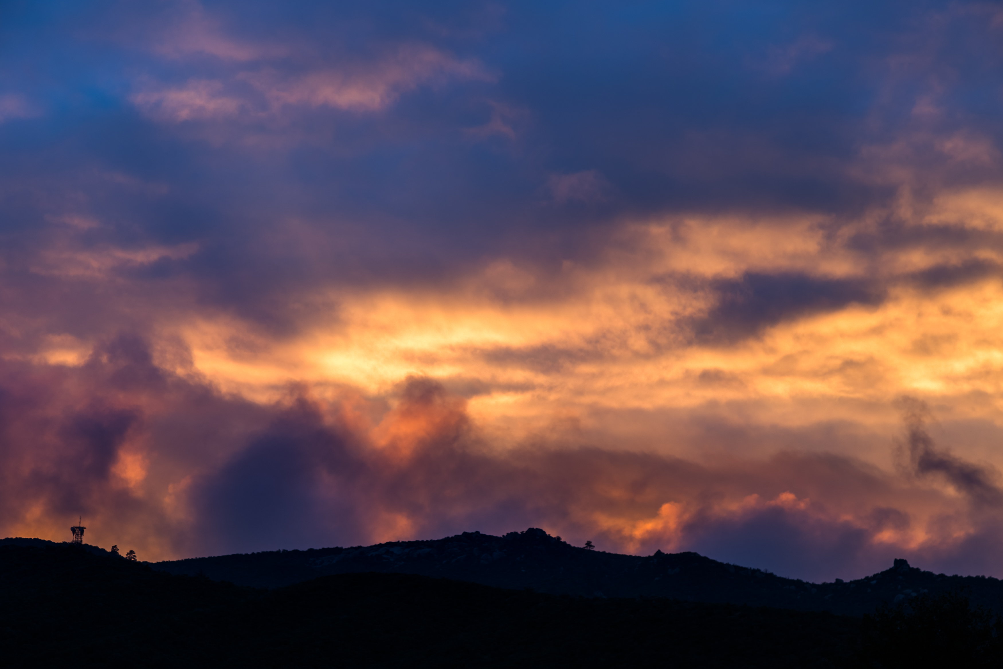
Distant Storm
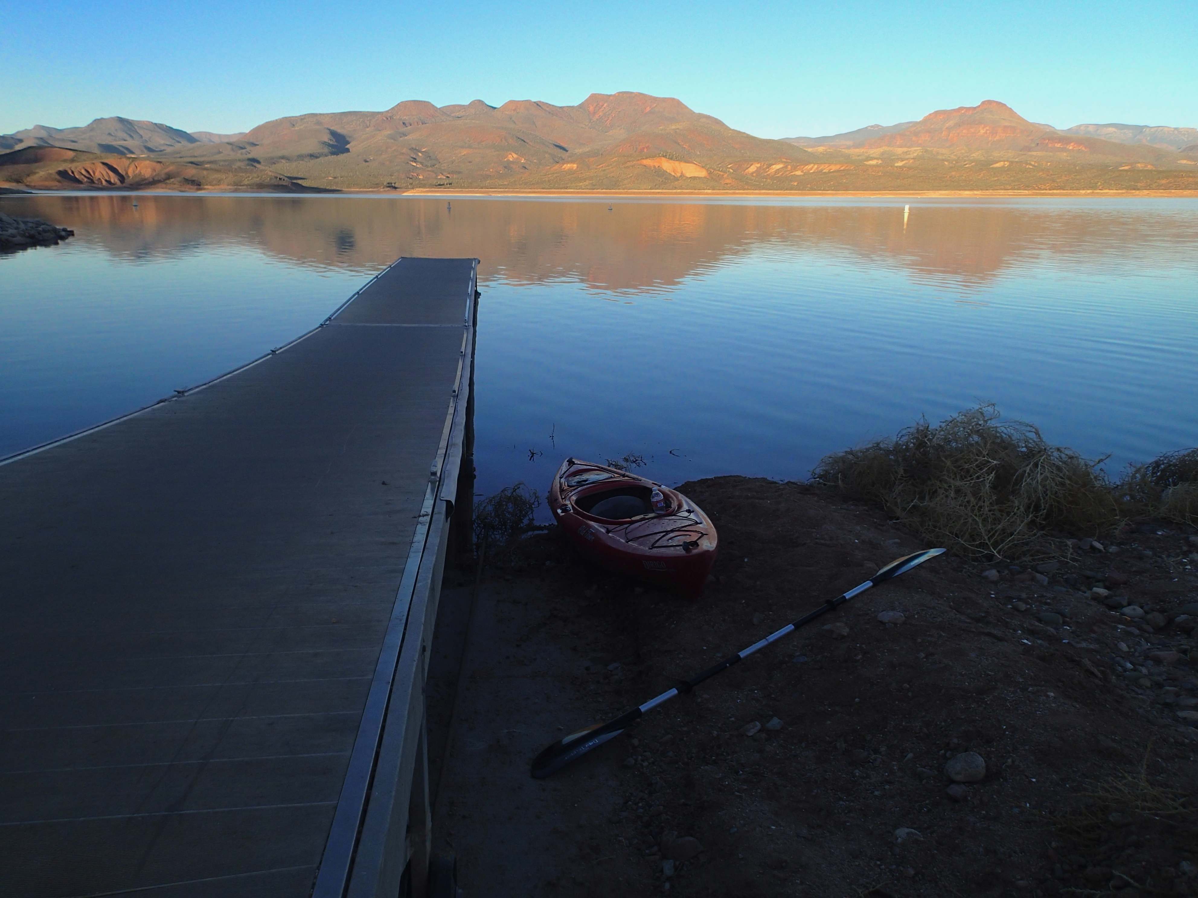
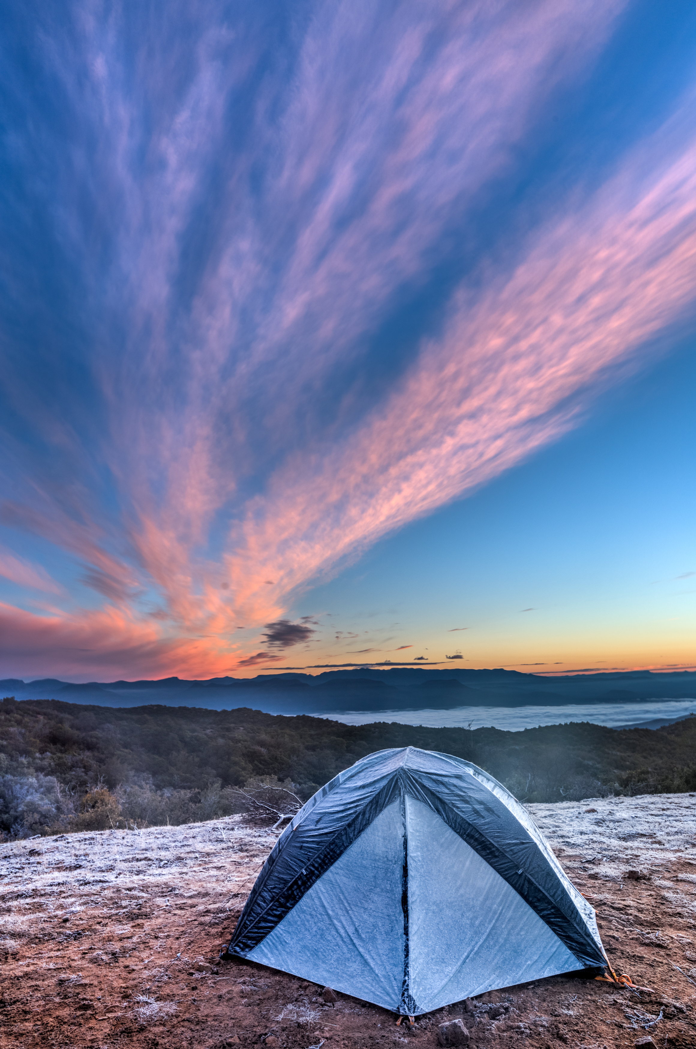
2013/365/363 Sunset on Roosevelt Lake
IMG_5924-
IMG_5947-
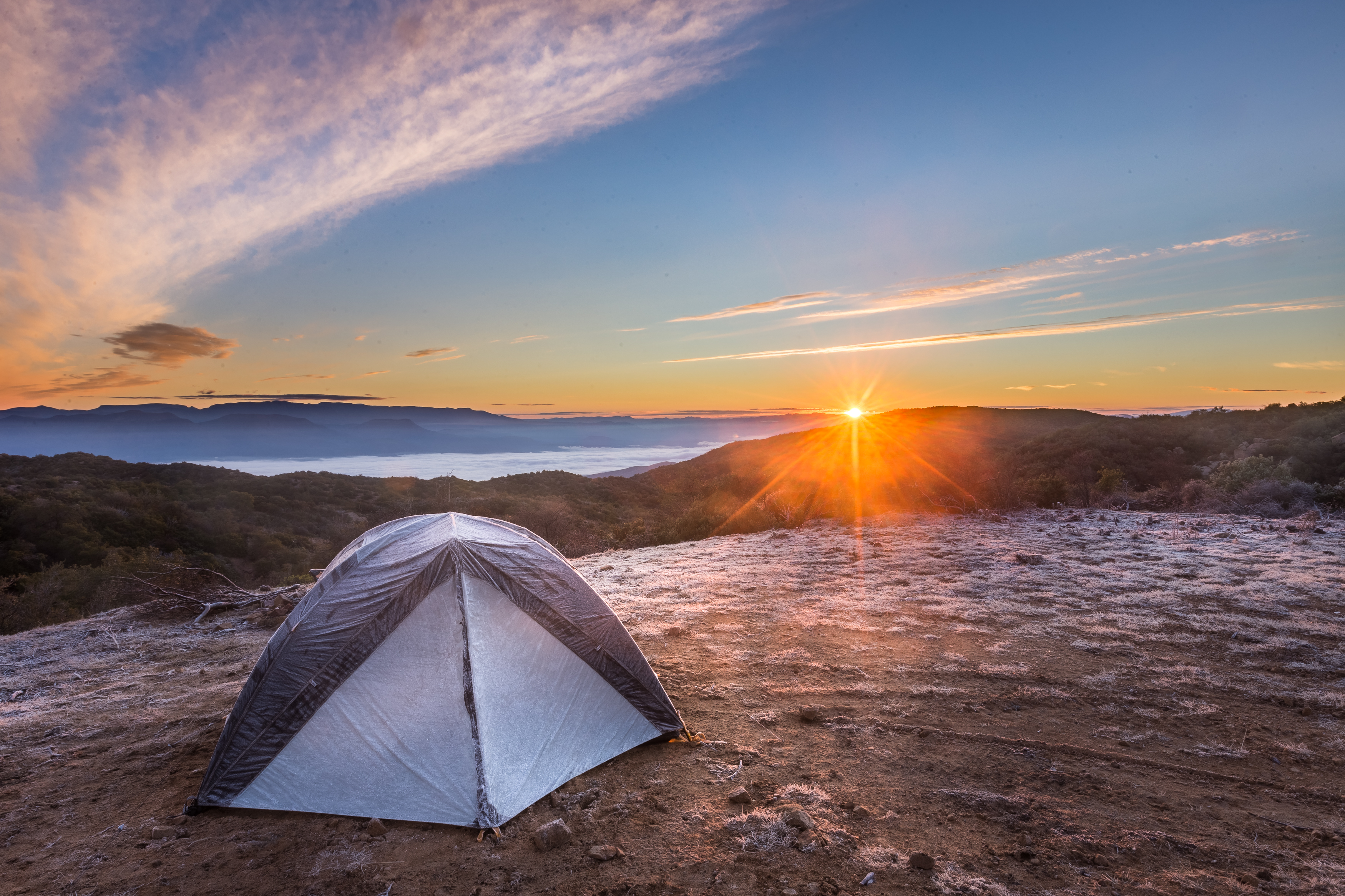
031415-Setting Sun Hwy 87
IMG_5976
IMG_6007
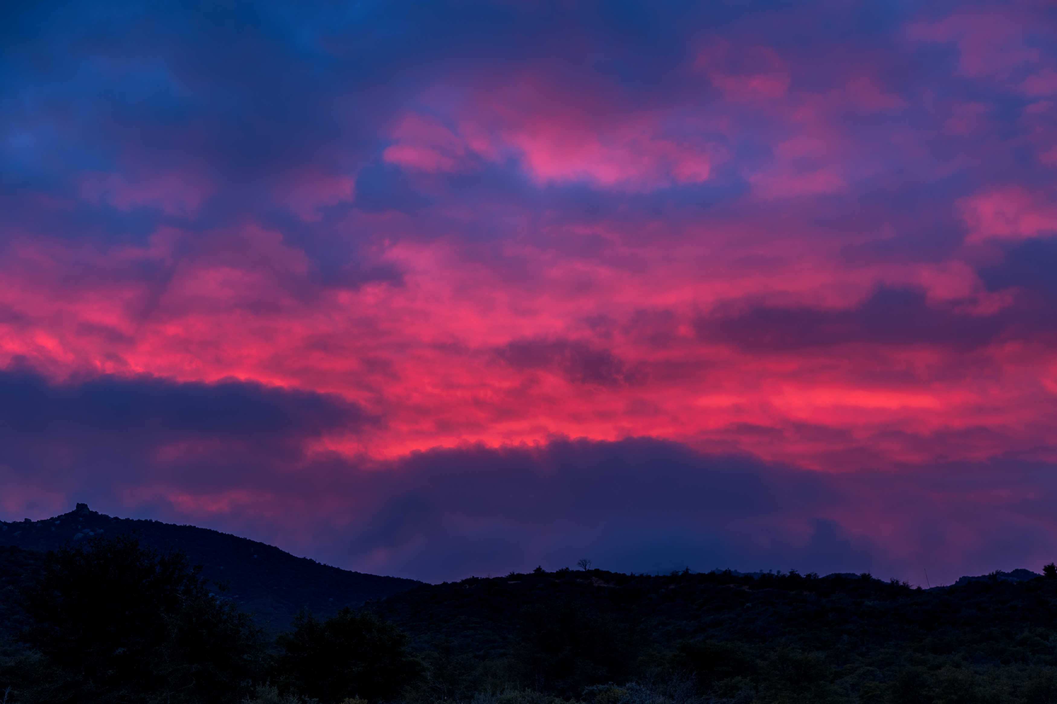
Not Happening

Four Peaks Rd (FR143)

Four Peaks Rd (FR143)

Four Peaks Rd (FR143)

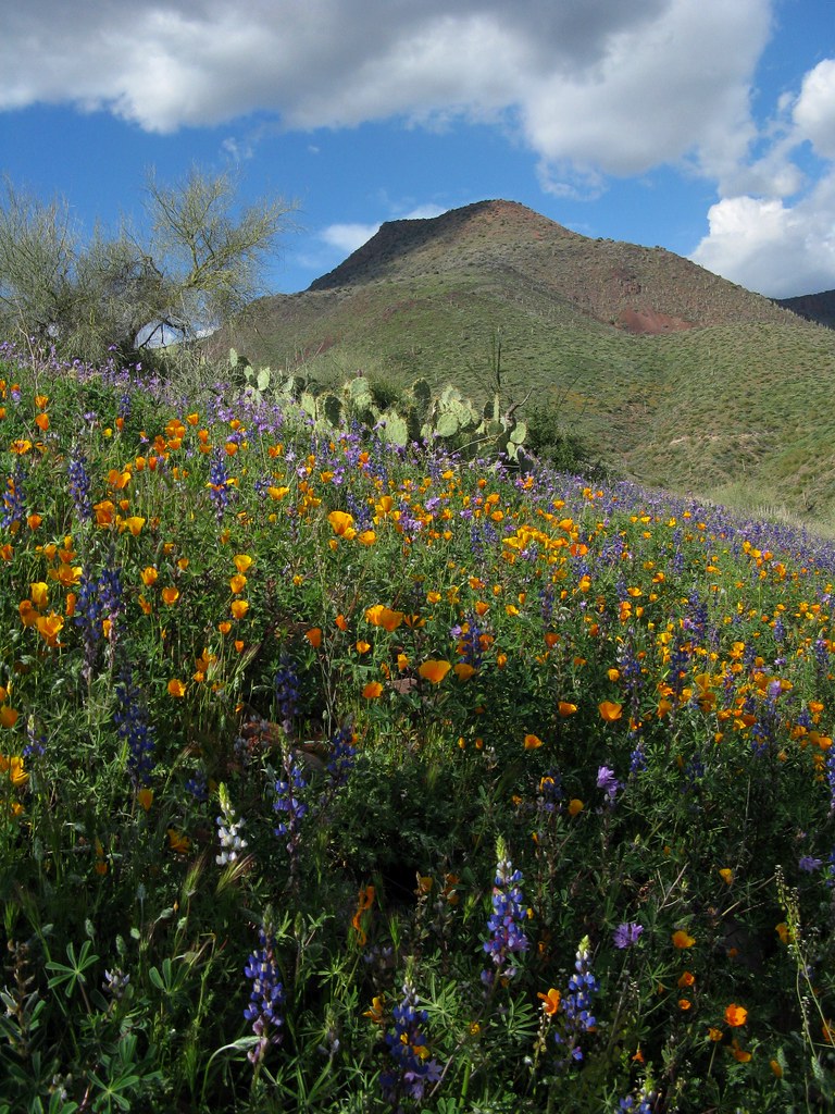
View from the top of Mt Ord, Gila County, Arizona

Four Peaks Rd (FR143)

Four Peaks Rd (FR143)

Four Peaks Rd (FR143)

Four Peaks Rd (FR143)
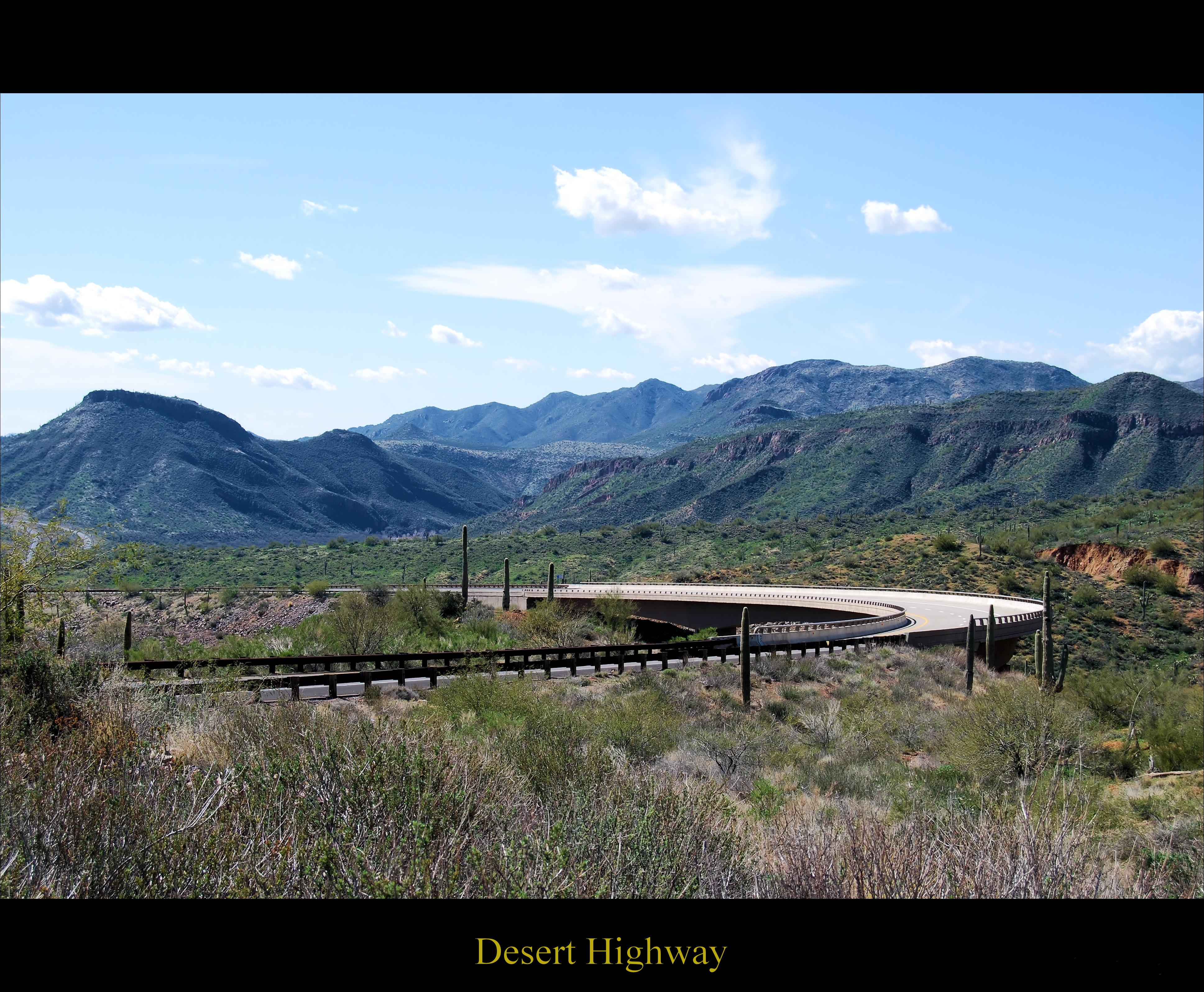
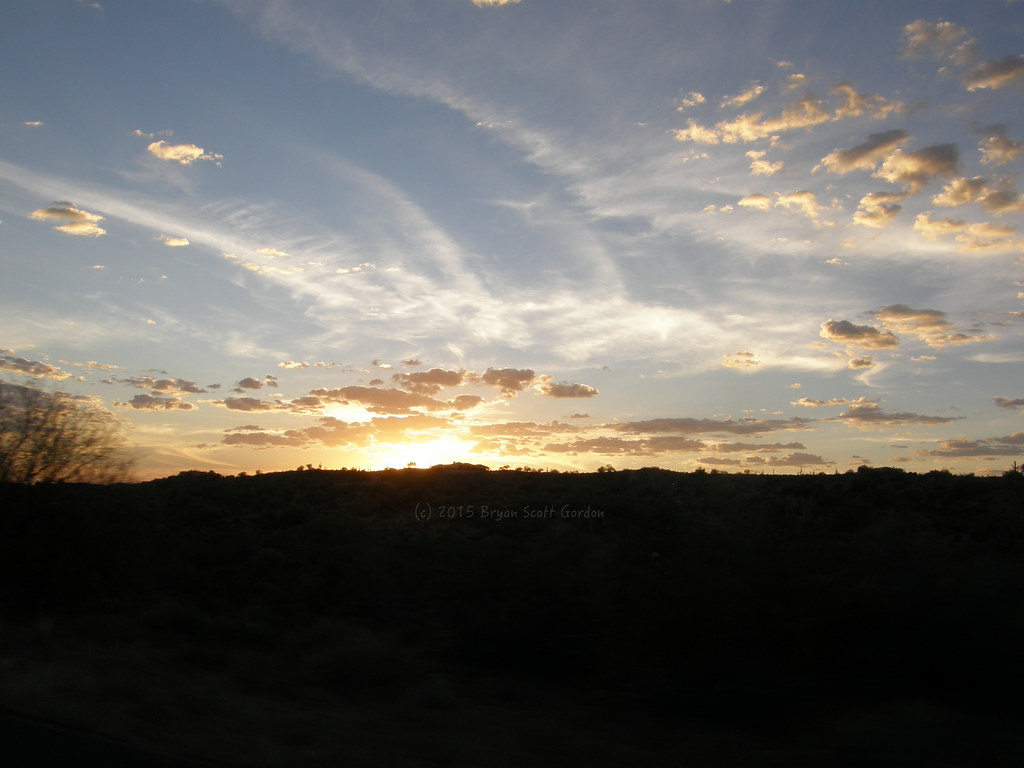
Desert Highway

Four Peaks Rd (FR143)

Four Peaks Rd (FR143)

Four Peaks Rd (FR143)

Four Peaks Rd (FR143)

Four Peaks Rd (FR143)

Four Peaks Rd (FR143)

Four Peaks Rd (FR143)

Four Peaks Rd (FR143)

Four Peaks Rd (FR143)

Four Peaks Rd (FR143)
6. A view toward Theodore Roosevelt Lake from Browns Trail #133
Rocky Rd, Tonto Basin, AZ 美国的地图
查询其他地方的日出日落时间
附近地点
美国亚利桑那州通托贝森
Punkin Center, Tonto Basin, AZ 美国
Whitney Ranch Estates, AZ 美国
Rio Verde, AZ 美国
Deercreek Dr, Arizona 美国Deercreek Drive
Deercreek Dr, Payson, AZ 美国
Deercreek Dr, Payson, AZ 美国
美国亚利桑那州吉塞拉
美国亚利桑那州马扎察尔峰
Oxbow Trail, Payson, AZ 美国
Oxbow Trail, Payson, AZ 美国
North Peak, Arizona 美国
W Gibson Ranch Rd, Payson, AZ 美国West Gibson Ranch Road
Highway 87, Mile Marker, Payson, AZ 美国Mazatzal Hotel & Casino
E Phoenix St, Payson, AZ 美国
美国亚利桑那州佩森
W Frontier St, Payson, AZ 美国
S Tonto St, Payson, AZ 美国
S Beeline Hwy A, Payson, AZ 美国Days Inn & Suites by Wyndham Payson
S Beeline Hwy, Payson, AZ 美国
最近搜索
- Mürini, Zermatt, 瑞士Zermatt Matterhorn Viewpoint的日出日落时间表
- Mahinath Pur, Bihar, India的日出日落时间表
- 德国巴特亨宁根的日出日落时间表
- Patil Colony, Canada Corner, Nashik, Maharashtra, India的日出日落时间表
- Ugliano, Province of Macerata, 意大利的日出日落时间表
- Japan, 〒- Tokyo, Edogawa City, Higashikasai, 6-chōme−28−10 ユリーカ的日出日落时间表
- Località Punta Bonfiglio, Manarola SP, 意大利Nessun Dorma的日出日落时间表
- 76- Aeo St, Kailua-Kona, HI 美国的日出日落时间表
- 88 Ōmishimachō Miyaura, Imabari, Ehime -日本的日出日落时间表
- 危地马拉伊萨瓦尔的日出日落时间表