美国加利福尼亚州派尤特峰的日出日落时间表
Location: 美国 > 加利福尼亚州 > 克恩县 > CA 美国 >
时区:
America/Los_Angeles
当地时间:
2024-04-27 07:25:47
经度:
-118.3917489
纬度:
35.4510678
今天日出时间:
06:05:02 AM
今天日落时间:
07:37:05 PM
今天日照时常:
13h 32m 3s
明天日出时间:
06:03:56 AM
明天日落时间:
07:37:54 PM
明天日照时常:
13h 33m 58s
显示所有日期
| 日期 | 日出 | 日落 | 日照时常 |
|---|---|---|---|
| 2024年01月01日 | 07:02:45 AM | 04:52:07 PM | 9h 49m 22s |
| 2024年01月02日 | 07:02:53 AM | 04:52:55 PM | 9h 50m 2s |
| 2024年01月03日 | 07:03:00 AM | 04:53:43 PM | 9h 50m 43s |
| 2024年01月04日 | 07:03:05 AM | 04:54:32 PM | 9h 51m 27s |
| 2024年01月05日 | 07:03:07 AM | 04:55:23 PM | 9h 52m 16s |
| 2024年01月06日 | 07:03:08 AM | 04:56:15 PM | 9h 53m 7s |
| 2024年01月07日 | 07:03:07 AM | 04:57:07 PM | 9h 54m 0s |
| 2024年01月08日 | 07:03:04 AM | 04:58:00 PM | 9h 54m 56s |
| 2024年01月09日 | 07:02:59 AM | 04:58:55 PM | 9h 55m 56s |
| 2024年01月10日 | 07:02:52 AM | 04:59:50 PM | 9h 56m 58s |
| 2024年01月11日 | 07:02:43 AM | 05:00:46 PM | 9h 58m 3s |
| 2024年01月12日 | 07:02:32 AM | 05:01:42 PM | 9h 59m 10s |
| 2024年01月13日 | 07:02:19 AM | 05:02:39 PM | 10h 0m 20s |
| 2024年01月14日 | 07:02:04 AM | 05:03:37 PM | 10h 1m 33s |
| 2024年01月15日 | 07:01:48 AM | 05:04:36 PM | 10h 2m 48s |
| 2024年01月16日 | 07:01:29 AM | 05:05:35 PM | 10h 4m 6s |
| 2024年01月17日 | 07:01:09 AM | 05:06:34 PM | 10h 5m 25s |
| 2024年01月18日 | 07:00:46 AM | 05:07:34 PM | 10h 6m 48s |
| 2024年01月19日 | 07:00:22 AM | 05:08:34 PM | 10h 8m 12s |
| 2024年01月20日 | 06:59:56 AM | 05:09:35 PM | 10h 9m 39s |
| 2024年01月21日 | 06:59:28 AM | 05:10:36 PM | 10h 11m 8s |
| 2024年01月22日 | 06:58:59 AM | 05:11:37 PM | 10h 12m 38s |
| 2024年01月23日 | 06:58:27 AM | 05:12:39 PM | 10h 14m 12s |
| 2024年01月24日 | 06:57:54 AM | 05:13:40 PM | 10h 15m 46s |
| 2024年01月25日 | 06:57:19 AM | 05:14:42 PM | 10h 17m 23s |
| 2024年01月26日 | 06:56:42 AM | 05:15:44 PM | 10h 19m 2s |
| 2024年01月27日 | 06:56:04 AM | 05:16:46 PM | 10h 20m 42s |
| 2024年01月28日 | 06:55:24 AM | 05:17:48 PM | 10h 22m 24s |
| 2024年01月29日 | 06:54:42 AM | 05:18:50 PM | 10h 24m 8s |
| 2024年01月30日 | 06:53:59 AM | 05:19:52 PM | 10h 25m 53s |
| 2024年01月31日 | 06:53:14 AM | 05:20:54 PM | 10h 27m 40s |
| 2024年02月01日 | 06:52:28 AM | 05:21:56 PM | 10h 29m 28s |
| 2024年02月02日 | 06:51:40 AM | 05:22:58 PM | 10h 31m 18s |
| 2024年02月03日 | 06:50:50 AM | 05:24:00 PM | 10h 33m 10s |
| 2024年02月04日 | 06:49:59 AM | 05:25:01 PM | 10h 35m 2s |
| 2024年02月05日 | 06:49:07 AM | 05:26:03 PM | 10h 36m 56s |
| 2024年02月06日 | 06:48:13 AM | 05:27:04 PM | 10h 38m 51s |
| 2024年02月07日 | 06:47:18 AM | 05:28:05 PM | 10h 40m 47s |
| 2024年02月08日 | 06:46:21 AM | 05:29:06 PM | 10h 42m 45s |
| 2024年02月09日 | 06:45:23 AM | 05:30:07 PM | 10h 44m 44s |
| 2024年02月10日 | 06:44:24 AM | 05:31:07 PM | 10h 46m 43s |
| 2024年02月11日 | 06:43:23 AM | 05:32:07 PM | 10h 48m 44s |
| 2024年02月12日 | 06:42:22 AM | 05:33:07 PM | 10h 50m 45s |
| 2024年02月13日 | 06:41:19 AM | 05:34:07 PM | 10h 52m 48s |
| 2024年02月14日 | 06:40:14 AM | 05:35:06 PM | 10h 54m 52s |
| 2024年02月15日 | 06:39:09 AM | 05:36:05 PM | 10h 56m 56s |
| 2024年02月16日 | 06:38:03 AM | 05:37:03 PM | 10h 59m 0s |
| 2024年02月17日 | 06:36:55 AM | 05:38:02 PM | 11h 1m 7s |
| 2024年02月18日 | 06:35:47 AM | 05:39:00 PM | 11h 3m 13s |
| 2024年02月19日 | 06:34:37 AM | 05:39:57 PM | 11h 5m 20s |
| 2024年02月20日 | 06:33:27 AM | 05:40:55 PM | 11h 7m 28s |
| 2024年02月21日 | 06:32:15 AM | 05:41:52 PM | 11h 9m 37s |
| 2024年02月22日 | 06:31:03 AM | 05:42:48 PM | 11h 11m 45s |
| 2024年02月23日 | 06:29:50 AM | 05:43:45 PM | 11h 13m 55s |
| 2024年02月24日 | 06:28:36 AM | 05:44:40 PM | 11h 16m 4s |
| 2024年02月25日 | 06:27:21 AM | 05:45:36 PM | 11h 18m 15s |
| 2024年02月26日 | 06:26:05 AM | 05:46:31 PM | 11h 20m 26s |
| 2024年02月27日 | 06:24:48 AM | 05:47:26 PM | 11h 22m 38s |
| 2024年02月28日 | 06:23:31 AM | 05:48:21 PM | 11h 24m 50s |
| 2024年02月29日 | 06:22:13 AM | 05:49:15 PM | 11h 27m 2s |
| 2024年03月01日 | 06:20:55 AM | 05:50:09 PM | 11h 29m 14s |
| 2024年03月02日 | 06:19:36 AM | 05:51:03 PM | 11h 31m 27s |
| 2024年03月03日 | 06:18:16 AM | 05:51:57 PM | 11h 33m 41s |
| 2024年03月04日 | 06:16:55 AM | 05:52:50 PM | 11h 35m 55s |
| 2024年03月05日 | 06:15:35 AM | 05:53:42 PM | 11h 38m 7s |
| 2024年03月06日 | 06:14:13 AM | 05:54:35 PM | 11h 40m 22s |
| 2024年03月07日 | 06:12:51 AM | 05:55:27 PM | 11h 42m 36s |
| 2024年03月08日 | 06:11:29 AM | 05:56:19 PM | 11h 44m 50s |
| 2024年03月09日 | 06:10:06 AM | 05:57:11 PM | 11h 47m 5s |
| 2024年03月10日 | 07:08:46 AM | 06:58:00 PM | 11h 49m 14s |
| 2024年03月11日 | 07:07:23 AM | 06:58:52 PM | 11h 51m 29s |
| 2024年03月12日 | 07:05:59 AM | 06:59:43 PM | 11h 53m 44s |
| 2024年03月13日 | 07:04:35 AM | 07:00:33 PM | 11h 55m 58s |
| 2024年03月14日 | 07:03:11 AM | 07:01:24 PM | 11h 58m 13s |
| 2024年03月15日 | 07:01:46 AM | 07:02:15 PM | 12h 0m 29s |
| 2024年03月16日 | 07:00:21 AM | 07:03:05 PM | 12h 2m 44s |
| 2024年03月17日 | 06:58:56 AM | 07:03:55 PM | 12h 4m 59s |
| 2024年03月18日 | 06:57:31 AM | 07:04:45 PM | 12h 7m 14s |
| 2024年03月19日 | 06:56:06 AM | 07:05:35 PM | 12h 9m 29s |
| 2024年03月20日 | 06:54:40 AM | 07:06:24 PM | 12h 11m 44s |
| 2024年03月21日 | 06:53:15 AM | 07:07:14 PM | 12h 13m 59s |
| 2024年03月22日 | 06:51:50 AM | 07:08:03 PM | 12h 16m 13s |
| 2024年03月23日 | 06:50:24 AM | 07:08:52 PM | 12h 18m 28s |
| 2024年03月24日 | 06:48:59 AM | 07:09:42 PM | 12h 20m 43s |
| 2024年03月25日 | 06:47:33 AM | 07:10:31 PM | 12h 22m 58s |
| 2024年03月26日 | 06:46:08 AM | 07:11:20 PM | 12h 25m 12s |
| 2024年03月27日 | 06:44:43 AM | 07:12:09 PM | 12h 27m 26s |
| 2024年03月28日 | 06:43:18 AM | 07:12:58 PM | 12h 29m 40s |
| 2024年03月29日 | 06:41:53 AM | 07:13:47 PM | 12h 31m 54s |
| 2024年03月30日 | 06:40:28 AM | 07:14:36 PM | 12h 34m 8s |
| 2024年03月31日 | 06:39:04 AM | 07:15:24 PM | 12h 36m 20s |
| 2024年04月01日 | 06:37:40 AM | 07:16:13 PM | 12h 38m 33s |
| 2024年04月02日 | 06:36:16 AM | 07:17:02 PM | 12h 40m 46s |
| 2024年04月03日 | 06:34:53 AM | 07:17:51 PM | 12h 42m 58s |
| 2024年04月04日 | 06:33:29 AM | 07:18:40 PM | 12h 45m 11s |
| 2024年04月05日 | 06:32:07 AM | 07:19:29 PM | 12h 47m 22s |
| 2024年04月06日 | 06:30:44 AM | 07:20:18 PM | 12h 49m 34s |
| 2024年04月07日 | 06:29:22 AM | 07:21:06 PM | 12h 51m 44s |
| 2024年04月08日 | 06:28:01 AM | 07:21:55 PM | 12h 53m 54s |
| 2024年04月09日 | 06:26:40 AM | 07:22:44 PM | 12h 56m 4s |
| 2024年04月10日 | 06:25:20 AM | 07:23:33 PM | 12h 58m 13s |
| 2024年04月11日 | 06:24:00 AM | 07:24:23 PM | 13h 0m 23s |
| 2024年04月12日 | 06:22:40 AM | 07:25:12 PM | 13h 2m 32s |
| 2024年04月13日 | 06:21:22 AM | 07:26:01 PM | 13h 4m 39s |
| 2024年04月14日 | 06:20:04 AM | 07:26:50 PM | 13h 6m 46s |
| 2024年04月15日 | 06:18:46 AM | 07:27:40 PM | 13h 8m 54s |
| 2024年04月16日 | 06:17:30 AM | 07:28:29 PM | 13h 10m 59s |
| 2024年04月17日 | 06:16:14 AM | 07:29:18 PM | 13h 13m 4s |
| 2024年04月18日 | 06:14:58 AM | 07:30:08 PM | 13h 15m 10s |
| 2024年04月19日 | 06:13:44 AM | 07:30:58 PM | 13h 17m 14s |
| 2024年04月20日 | 06:12:31 AM | 07:31:47 PM | 13h 19m 16s |
| 2024年04月21日 | 06:11:18 AM | 07:32:37 PM | 13h 21m 19s |
| 2024年04月22日 | 06:10:06 AM | 07:33:27 PM | 13h 23m 21s |
| 2024年04月23日 | 06:08:55 AM | 07:34:16 PM | 13h 25m 21s |
| 2024年04月24日 | 06:07:45 AM | 07:35:06 PM | 13h 27m 21s |
| 2024年04月25日 | 06:06:36 AM | 07:35:56 PM | 13h 29m 20s |
| 2024年04月26日 | 06:05:28 AM | 07:36:46 PM | 13h 31m 18s |
| 2024年04月27日 | 06:04:21 AM | 07:37:36 PM | 13h 33m 15s |
| 2024年04月28日 | 06:03:15 AM | 07:38:26 PM | 13h 35m 11s |
| 2024年04月29日 | 06:02:10 AM | 07:39:15 PM | 13h 37m 5s |
| 2024年04月30日 | 06:01:06 AM | 07:40:05 PM | 13h 38m 59s |
| 2024年05月01日 | 06:00:03 AM | 07:40:55 PM | 13h 40m 52s |
| 2024年05月02日 | 05:59:01 AM | 07:41:45 PM | 13h 42m 44s |
| 2024年05月03日 | 05:58:01 AM | 07:42:34 PM | 13h 44m 33s |
| 2024年05月04日 | 05:57:02 AM | 07:43:24 PM | 13h 46m 22s |
| 2024年05月05日 | 05:56:04 AM | 07:44:13 PM | 13h 48m 9s |
| 2024年05月06日 | 05:55:07 AM | 07:45:03 PM | 13h 49m 56s |
| 2024年05月07日 | 05:54:12 AM | 07:45:52 PM | 13h 51m 40s |
| 2024年05月08日 | 05:53:18 AM | 07:46:41 PM | 13h 53m 23s |
| 2024年05月09日 | 05:52:25 AM | 07:47:30 PM | 13h 55m 5s |
| 2024年05月10日 | 05:51:33 AM | 07:48:19 PM | 13h 56m 46s |
| 2024年05月11日 | 05:50:43 AM | 07:49:07 PM | 13h 58m 24s |
| 2024年05月12日 | 05:49:54 AM | 07:49:55 PM | 14h 0m 1s |
| 2024年05月13日 | 05:49:07 AM | 07:50:43 PM | 14h 1m 36s |
| 2024年05月14日 | 05:48:21 AM | 07:51:31 PM | 14h 3m 10s |
| 2024年05月15日 | 05:47:37 AM | 07:52:18 PM | 14h 4m 41s |
| 2024年05月16日 | 05:46:54 AM | 07:53:05 PM | 14h 6m 11s |
| 2024年05月17日 | 05:46:13 AM | 07:53:51 PM | 14h 7m 38s |
| 2024年05月18日 | 05:45:33 AM | 07:54:37 PM | 14h 9m 4s |
| 2024年05月19日 | 05:44:55 AM | 07:55:23 PM | 14h 10m 28s |
| 2024年05月20日 | 05:44:18 AM | 07:56:08 PM | 14h 11m 50s |
| 2024年05月21日 | 05:43:43 AM | 07:56:52 PM | 14h 13m 9s |
| 2024年05月22日 | 05:43:09 AM | 07:57:36 PM | 14h 14m 27s |
| 2024年05月23日 | 05:42:37 AM | 07:58:20 PM | 14h 15m 43s |
| 2024年05月24日 | 05:42:07 AM | 07:59:03 PM | 14h 16m 56s |
| 2024年05月25日 | 05:41:38 AM | 07:59:45 PM | 14h 18m 7s |
| 2024年05月26日 | 05:41:11 AM | 08:00:26 PM | 14h 19m 15s |
| 2024年05月27日 | 05:40:46 AM | 08:01:07 PM | 14h 20m 21s |
| 2024年05月28日 | 05:40:22 AM | 08:01:47 PM | 14h 21m 25s |
| 2024年05月29日 | 05:40:00 AM | 08:02:26 PM | 14h 22m 26s |
| 2024年05月30日 | 05:39:39 AM | 08:03:04 PM | 14h 23m 25s |
| 2024年05月31日 | 05:39:20 AM | 08:03:42 PM | 14h 24m 22s |
| 2024年06月01日 | 05:39:03 AM | 08:04:18 PM | 14h 25m 15s |
| 2024年06月02日 | 05:38:48 AM | 08:04:54 PM | 14h 26m 6s |
| 2024年06月03日 | 05:38:34 AM | 08:05:28 PM | 14h 26m 54s |
| 2024年06月04日 | 05:38:22 AM | 08:06:02 PM | 14h 27m 40s |
| 2024年06月05日 | 05:38:11 AM | 08:06:34 PM | 14h 28m 23s |
| 2024年06月06日 | 05:38:03 AM | 08:07:06 PM | 14h 29m 3s |
| 2024年06月07日 | 05:37:56 AM | 08:07:36 PM | 14h 29m 40s |
| 2024年06月08日 | 05:37:50 AM | 08:08:05 PM | 14h 30m 15s |
| 2024年06月09日 | 05:37:46 AM | 08:08:33 PM | 14h 30m 47s |
| 2024年06月10日 | 05:37:44 AM | 08:09:00 PM | 14h 31m 16s |
| 2024年06月11日 | 05:37:44 AM | 08:09:25 PM | 14h 31m 41s |
| 2024年06月12日 | 05:37:45 AM | 08:09:49 PM | 14h 32m 4s |
| 2024年06月13日 | 05:37:48 AM | 08:10:12 PM | 14h 32m 24s |
| 2024年06月14日 | 05:37:52 AM | 08:10:33 PM | 14h 32m 41s |
| 2024年06月15日 | 05:37:58 AM | 08:10:53 PM | 14h 32m 55s |
| 2024年06月16日 | 05:38:05 AM | 08:11:12 PM | 14h 33m 7s |
| 2024年06月17日 | 05:38:14 AM | 08:11:29 PM | 14h 33m 15s |
| 2024年06月18日 | 05:38:25 AM | 08:11:45 PM | 14h 33m 20s |
| 2024年06月19日 | 05:38:37 AM | 08:11:59 PM | 14h 33m 22s |
| 2024年06月20日 | 05:38:50 AM | 08:12:12 PM | 14h 33m 22s |
| 2024年06月21日 | 05:39:05 AM | 08:12:23 PM | 14h 33m 18s |
| 2024年06月22日 | 05:39:21 AM | 08:12:32 PM | 14h 33m 11s |
| 2024年06月23日 | 05:39:39 AM | 08:12:40 PM | 14h 33m 1s |
| 2024年06月24日 | 05:39:58 AM | 08:12:46 PM | 14h 32m 48s |
| 2024年06月25日 | 05:40:19 AM | 08:12:51 PM | 14h 32m 32s |
| 2024年06月26日 | 05:40:40 AM | 08:12:54 PM | 14h 32m 14s |
| 2024年06月27日 | 05:41:03 AM | 08:12:56 PM | 14h 31m 53s |
| 2024年06月28日 | 05:41:27 AM | 08:12:56 PM | 14h 31m 29s |
| 2024年06月29日 | 05:41:53 AM | 08:12:54 PM | 14h 31m 1s |
| 2024年06月30日 | 05:42:19 AM | 08:12:50 PM | 14h 30m 31s |
| 2024年07月01日 | 05:42:47 AM | 08:12:45 PM | 14h 29m 58s |
| 2024年07月02日 | 05:43:16 AM | 08:12:38 PM | 14h 29m 22s |
| 2024年07月03日 | 05:43:46 AM | 08:12:29 PM | 14h 28m 43s |
| 2024年07月04日 | 05:44:17 AM | 08:12:19 PM | 14h 28m 2s |
| 2024年07月05日 | 05:44:49 AM | 08:12:07 PM | 14h 27m 18s |
| 2024年07月06日 | 05:45:22 AM | 08:11:53 PM | 14h 26m 31s |
| 2024年07月07日 | 05:45:56 AM | 08:11:37 PM | 14h 25m 41s |
| 2024年07月08日 | 05:46:30 AM | 08:11:20 PM | 14h 24m 50s |
| 2024年07月09日 | 05:47:06 AM | 08:11:01 PM | 14h 23m 55s |
| 2024年07月10日 | 05:47:42 AM | 08:10:40 PM | 14h 22m 58s |
| 2024年07月11日 | 05:48:20 AM | 08:10:18 PM | 14h 21m 58s |
| 2024年07月12日 | 05:48:58 AM | 08:09:54 PM | 14h 20m 56s |
| 2024年07月13日 | 05:49:36 AM | 08:09:28 PM | 14h 19m 52s |
| 2024年07月14日 | 05:50:16 AM | 08:09:00 PM | 14h 18m 44s |
| 2024年07月15日 | 05:50:56 AM | 08:08:31 PM | 14h 17m 35s |
| 2024年07月16日 | 05:51:36 AM | 08:08:00 PM | 14h 16m 24s |
| 2024年07月17日 | 05:52:17 AM | 08:07:28 PM | 14h 15m 11s |
| 2024年07月18日 | 05:52:59 AM | 08:06:54 PM | 14h 13m 55s |
| 2024年07月19日 | 05:53:41 AM | 08:06:18 PM | 14h 12m 37s |
| 2024年07月20日 | 05:54:24 AM | 08:05:41 PM | 14h 11m 17s |
| 2024年07月21日 | 05:55:07 AM | 08:05:02 PM | 14h 9m 55s |
| 2024年07月22日 | 05:55:51 AM | 08:04:21 PM | 14h 8m 30s |
| 2024年07月23日 | 05:56:34 AM | 08:03:39 PM | 14h 7m 5s |
| 2024年07月24日 | 05:57:19 AM | 08:02:56 PM | 14h 5m 37s |
| 2024年07月25日 | 05:58:03 AM | 08:02:11 PM | 14h 4m 8s |
| 2024年07月26日 | 05:58:48 AM | 08:01:24 PM | 14h 2m 36s |
| 2024年07月27日 | 05:59:33 AM | 08:00:36 PM | 14h 1m 3s |
| 2024年07月28日 | 06:00:18 AM | 07:59:47 PM | 13h 59m 29s |
| 2024年07月29日 | 06:01:04 AM | 07:58:56 PM | 13h 57m 52s |
| 2024年07月30日 | 06:01:50 AM | 07:58:03 PM | 13h 56m 13s |
| 2024年07月31日 | 06:02:36 AM | 07:57:10 PM | 13h 54m 34s |
| 2024年08月01日 | 06:03:22 AM | 07:56:15 PM | 13h 52m 53s |
| 2024年08月02日 | 06:04:08 AM | 07:55:18 PM | 13h 51m 10s |
| 2024年08月03日 | 06:04:54 AM | 07:54:20 PM | 13h 49m 26s |
| 2024年08月04日 | 06:05:41 AM | 07:53:21 PM | 13h 47m 40s |
| 2024年08月05日 | 06:06:27 AM | 07:52:21 PM | 13h 45m 54s |
| 2024年08月06日 | 06:07:13 AM | 07:51:20 PM | 13h 44m 7s |
| 2024年08月07日 | 06:08:00 AM | 07:50:17 PM | 13h 42m 17s |
| 2024年08月08日 | 06:08:46 AM | 07:49:13 PM | 13h 40m 27s |
| 2024年08月09日 | 06:09:33 AM | 07:48:08 PM | 13h 38m 35s |
| 2024年08月10日 | 06:10:19 AM | 07:47:02 PM | 13h 36m 43s |
| 2024年08月11日 | 06:11:06 AM | 07:45:55 PM | 13h 34m 49s |
| 2024年08月12日 | 06:11:52 AM | 07:44:47 PM | 13h 32m 55s |
| 2024年08月13日 | 06:12:39 AM | 07:43:37 PM | 13h 30m 58s |
| 2024年08月14日 | 06:13:25 AM | 07:42:27 PM | 13h 29m 2s |
| 2024年08月15日 | 06:14:11 AM | 07:41:16 PM | 13h 27m 5s |
| 2024年08月16日 | 06:14:57 AM | 07:40:03 PM | 13h 25m 6s |
| 2024年08月17日 | 06:15:43 AM | 07:38:50 PM | 13h 23m 7s |
| 2024年08月18日 | 06:16:30 AM | 07:37:36 PM | 13h 21m 6s |
| 2024年08月19日 | 06:17:15 AM | 07:36:21 PM | 13h 19m 6s |
| 2024年08月20日 | 06:18:01 AM | 07:35:05 PM | 13h 17m 4s |
| 2024年08月21日 | 06:18:47 AM | 07:33:49 PM | 13h 15m 2s |
| 2024年08月22日 | 06:19:33 AM | 07:32:31 PM | 13h 12m 58s |
| 2024年08月23日 | 06:20:18 AM | 07:31:13 PM | 13h 10m 55s |
| 2024年08月24日 | 06:21:04 AM | 07:29:54 PM | 13h 8m 50s |
| 2024年08月25日 | 06:21:49 AM | 07:28:35 PM | 13h 6m 46s |
| 2024年08月26日 | 06:22:35 AM | 07:27:15 PM | 13h 4m 40s |
| 2024年08月27日 | 06:23:20 AM | 07:25:54 PM | 13h 2m 34s |
| 2024年08月28日 | 06:24:05 AM | 07:24:32 PM | 13h 0m 27s |
| 2024年08月29日 | 06:24:50 AM | 07:23:10 PM | 12h 58m 20s |
| 2024年08月30日 | 06:25:35 AM | 07:21:47 PM | 12h 56m 12s |
| 2024年08月31日 | 06:26:20 AM | 07:20:24 PM | 12h 54m 4s |
| 2024年09月01日 | 06:27:05 AM | 07:19:01 PM | 12h 51m 56s |
| 2024年09月02日 | 06:27:49 AM | 07:17:37 PM | 12h 49m 48s |
| 2024年09月03日 | 06:28:34 AM | 07:16:12 PM | 12h 47m 38s |
| 2024年09月04日 | 06:29:19 AM | 07:14:47 PM | 12h 45m 28s |
| 2024年09月05日 | 06:30:03 AM | 07:13:22 PM | 12h 43m 19s |
| 2024年09月06日 | 06:30:48 AM | 07:11:56 PM | 12h 41m 8s |
| 2024年09月07日 | 06:31:33 AM | 07:10:30 PM | 12h 38m 57s |
| 2024年09月08日 | 06:32:17 AM | 07:09:03 PM | 12h 36m 46s |
| 2024年09月09日 | 06:33:02 AM | 07:07:37 PM | 12h 34m 35s |
| 2024年09月10日 | 06:33:46 AM | 07:06:10 PM | 12h 32m 24s |
| 2024年09月11日 | 06:34:31 AM | 07:04:43 PM | 12h 30m 12s |
| 2024年09月12日 | 06:35:15 AM | 07:03:16 PM | 12h 28m 1s |
| 2024年09月13日 | 06:36:00 AM | 07:01:48 PM | 12h 25m 48s |
| 2024年09月14日 | 06:36:45 AM | 07:00:21 PM | 12h 23m 36s |
| 2024年09月15日 | 06:37:30 AM | 06:58:53 PM | 12h 21m 23s |
| 2024年09月16日 | 06:38:14 AM | 06:57:25 PM | 12h 19m 11s |
| 2024年09月17日 | 06:38:59 AM | 06:55:58 PM | 12h 16m 59s |
| 2024年09月18日 | 06:39:44 AM | 06:54:30 PM | 12h 14m 46s |
| 2024年09月19日 | 06:40:29 AM | 06:53:02 PM | 12h 12m 33s |
| 2024年09月20日 | 06:41:14 AM | 06:51:34 PM | 12h 10m 20s |
| 2024年09月21日 | 06:42:00 AM | 06:50:07 PM | 12h 8m 7s |
| 2024年09月22日 | 06:42:45 AM | 06:48:39 PM | 12h 5m 54s |
| 2024年09月23日 | 06:43:31 AM | 06:47:12 PM | 12h 3m 41s |
| 2024年09月24日 | 06:44:17 AM | 06:45:45 PM | 12h 1m 28s |
| 2024年09月25日 | 06:45:03 AM | 06:44:18 PM | 11h 59m 15s |
| 2024年09月26日 | 06:45:49 AM | 06:42:51 PM | 11h 57m 2s |
| 2024年09月27日 | 06:46:35 AM | 06:41:24 PM | 11h 54m 49s |
| 2024年09月28日 | 06:47:22 AM | 06:39:58 PM | 11h 52m 36s |
| 2024年09月29日 | 06:48:09 AM | 06:38:32 PM | 11h 50m 23s |
| 2024年09月30日 | 06:48:56 AM | 06:37:06 PM | 11h 48m 10s |
| 2024年10月01日 | 06:49:43 AM | 06:35:41 PM | 11h 45m 58s |
| 2024年10月02日 | 06:50:30 AM | 06:34:16 PM | 11h 43m 46s |
| 2024年10月03日 | 06:51:18 AM | 06:32:52 PM | 11h 41m 34s |
| 2024年10月04日 | 06:52:06 AM | 06:31:28 PM | 11h 39m 22s |
| 2024年10月05日 | 06:52:55 AM | 06:30:04 PM | 11h 37m 9s |
| 2024年10月06日 | 06:53:43 AM | 06:28:41 PM | 11h 34m 58s |
| 2024年10月07日 | 06:54:32 AM | 06:27:19 PM | 11h 32m 47s |
| 2024年10月08日 | 06:55:22 AM | 06:25:57 PM | 11h 30m 35s |
| 2024年10月09日 | 06:56:11 AM | 06:24:36 PM | 11h 28m 25s |
| 2024年10月10日 | 06:57:01 AM | 06:23:15 PM | 11h 26m 14s |
| 2024年10月11日 | 06:57:51 AM | 06:21:55 PM | 11h 24m 4s |
| 2024年10月12日 | 06:58:42 AM | 06:20:36 PM | 11h 21m 54s |
| 2024年10月13日 | 06:59:33 AM | 06:19:17 PM | 11h 19m 44s |
| 2024年10月14日 | 07:00:24 AM | 06:18:00 PM | 11h 17m 36s |
| 2024年10月15日 | 07:01:16 AM | 06:16:43 PM | 11h 15m 27s |
| 2024年10月16日 | 07:02:08 AM | 06:15:26 PM | 11h 13m 18s |
| 2024年10月17日 | 07:03:00 AM | 06:14:11 PM | 11h 11m 11s |
| 2024年10月18日 | 07:03:53 AM | 06:12:57 PM | 11h 9m 4s |
| 2024年10月19日 | 07:04:46 AM | 06:11:43 PM | 11h 6m 57s |
| 2024年10月20日 | 07:05:39 AM | 06:10:31 PM | 11h 4m 52s |
| 2024年10月21日 | 07:06:33 AM | 06:09:19 PM | 11h 2m 46s |
| 2024年10月22日 | 07:07:27 AM | 06:08:09 PM | 11h 0m 42s |
| 2024年10月23日 | 07:08:22 AM | 06:06:59 PM | 10h 58m 37s |
| 2024年10月24日 | 07:09:17 AM | 06:05:51 PM | 10h 56m 34s |
| 2024年10月25日 | 07:10:12 AM | 06:04:44 PM | 10h 54m 32s |
| 2024年10月26日 | 07:11:07 AM | 06:03:38 PM | 10h 52m 31s |
| 2024年10月27日 | 07:12:03 AM | 06:02:33 PM | 10h 50m 30s |
| 2024年10月28日 | 07:13:00 AM | 06:01:29 PM | 10h 48m 29s |
| 2024年10月29日 | 07:13:56 AM | 06:00:26 PM | 10h 46m 30s |
| 2024年10月30日 | 07:14:53 AM | 05:59:25 PM | 10h 44m 32s |
| 2024年10月31日 | 07:15:50 AM | 05:58:25 PM | 10h 42m 35s |
| 2024年11月01日 | 07:16:48 AM | 05:57:27 PM | 10h 40m 39s |
| 2024年11月02日 | 07:17:45 AM | 05:56:29 PM | 10h 38m 44s |
| 2024年11月03日 | 06:18:46 AM | 04:55:31 PM | 10h 36m 45s |
| 2024年11月04日 | 06:19:44 AM | 04:54:37 PM | 10h 34m 53s |
| 2024年11月05日 | 06:20:42 AM | 04:53:44 PM | 10h 33m 2s |
| 2024年11月06日 | 06:21:41 AM | 04:52:52 PM | 10h 31m 11s |
| 2024年11月07日 | 06:22:39 AM | 04:52:03 PM | 10h 29m 24s |
| 2024年11月08日 | 06:23:38 AM | 04:51:14 PM | 10h 27m 36s |
| 2024年11月09日 | 06:24:37 AM | 04:50:27 PM | 10h 25m 50s |
| 2024年11月10日 | 06:25:36 AM | 04:49:42 PM | 10h 24m 6s |
| 2024年11月11日 | 06:26:36 AM | 04:48:59 PM | 10h 22m 23s |
| 2024年11月12日 | 06:27:35 AM | 04:48:17 PM | 10h 20m 42s |
| 2024年11月13日 | 06:28:34 AM | 04:47:37 PM | 10h 19m 3s |
| 2024年11月14日 | 06:29:33 AM | 04:46:58 PM | 10h 17m 25s |
| 2024年11月15日 | 06:30:32 AM | 04:46:21 PM | 10h 15m 49s |
| 2024年11月16日 | 06:31:31 AM | 04:45:46 PM | 10h 14m 15s |
| 2024年11月17日 | 06:32:30 AM | 04:45:13 PM | 10h 12m 43s |
| 2024年11月18日 | 06:33:29 AM | 04:44:42 PM | 10h 11m 13s |
| 2024年11月19日 | 06:34:28 AM | 04:44:12 PM | 10h 9m 44s |
| 2024年11月20日 | 06:35:26 AM | 04:43:44 PM | 10h 8m 18s |
| 2024年11月21日 | 06:36:24 AM | 04:43:18 PM | 10h 6m 54s |
| 2024年11月22日 | 06:37:22 AM | 04:42:54 PM | 10h 5m 32s |
| 2024年11月23日 | 06:38:19 AM | 04:42:32 PM | 10h 4m 13s |
| 2024年11月24日 | 06:39:16 AM | 04:42:12 PM | 10h 2m 56s |
| 2024年11月25日 | 06:40:13 AM | 04:41:54 PM | 10h 1m 41s |
| 2024年11月26日 | 06:41:09 AM | 04:41:37 PM | 10h 0m 28s |
| 2024年11月27日 | 06:42:05 AM | 04:41:23 PM | 9h 59m 18s |
| 2024年11月28日 | 06:42:59 AM | 04:41:11 PM | 9h 58m 12s |
| 2024年11月29日 | 06:43:54 AM | 04:41:00 PM | 9h 57m 6s |
| 2024年11月30日 | 06:44:47 AM | 04:40:52 PM | 9h 56m 5s |
| 2024年12月01日 | 06:45:40 AM | 04:40:45 PM | 9h 55m 5s |
| 2024年12月02日 | 06:46:32 AM | 04:40:41 PM | 9h 54m 9s |
| 2024年12月03日 | 06:47:24 AM | 04:40:38 PM | 9h 53m 14s |
| 2024年12月04日 | 06:48:14 AM | 04:40:38 PM | 9h 52m 24s |
| 2024年12月05日 | 06:49:04 AM | 04:40:39 PM | 9h 51m 35s |
| 2024年12月06日 | 06:49:52 AM | 04:40:42 PM | 9h 50m 50s |
| 2024年12月07日 | 06:50:40 AM | 04:40:48 PM | 9h 50m 8s |
| 2024年12月08日 | 06:51:26 AM | 04:40:55 PM | 9h 49m 29s |
| 2024年12月09日 | 06:52:12 AM | 04:41:04 PM | 9h 48m 52s |
| 2024年12月10日 | 06:52:56 AM | 04:41:15 PM | 9h 48m 19s |
| 2024年12月11日 | 06:53:39 AM | 04:41:29 PM | 9h 47m 50s |
| 2024年12月12日 | 06:54:21 AM | 04:41:44 PM | 9h 47m 23s |
| 2024年12月13日 | 06:55:01 AM | 04:42:01 PM | 9h 47m 0s |
| 2024年12月14日 | 06:55:40 AM | 04:42:19 PM | 9h 46m 39s |
| 2024年12月15日 | 06:56:18 AM | 04:42:40 PM | 9h 46m 22s |
| 2024年12月16日 | 06:56:54 AM | 04:43:02 PM | 9h 46m 8s |
| 2024年12月17日 | 06:57:29 AM | 04:43:27 PM | 9h 45m 58s |
| 2024年12月18日 | 06:58:02 AM | 04:43:53 PM | 9h 45m 51s |
| 2024年12月19日 | 06:58:34 AM | 04:44:20 PM | 9h 45m 46s |
| 2024年12月20日 | 06:59:04 AM | 04:44:50 PM | 9h 45m 46s |
| 2024年12月21日 | 06:59:33 AM | 04:45:21 PM | 9h 45m 48s |
| 2024年12月22日 | 07:00:00 AM | 04:45:54 PM | 9h 45m 54s |
| 2024年12月23日 | 07:00:25 AM | 04:46:28 PM | 9h 46m 3s |
| 2024年12月24日 | 07:00:48 AM | 04:47:04 PM | 9h 46m 16s |
| 2024年12月25日 | 07:01:10 AM | 04:47:42 PM | 9h 46m 32s |
| 2024年12月26日 | 07:01:30 AM | 04:48:21 PM | 9h 46m 51s |
| 2024年12月27日 | 07:01:48 AM | 04:49:01 PM | 9h 47m 13s |
| 2024年12月28日 | 07:02:05 AM | 04:49:43 PM | 9h 47m 38s |
| 2024年12月29日 | 07:02:19 AM | 04:50:26 PM | 9h 48m 7s |
| 2024年12月30日 | 07:02:32 AM | 04:51:10 PM | 9h 48m 38s |
日出日落照片
View from near Piute Mountain, PCT, California
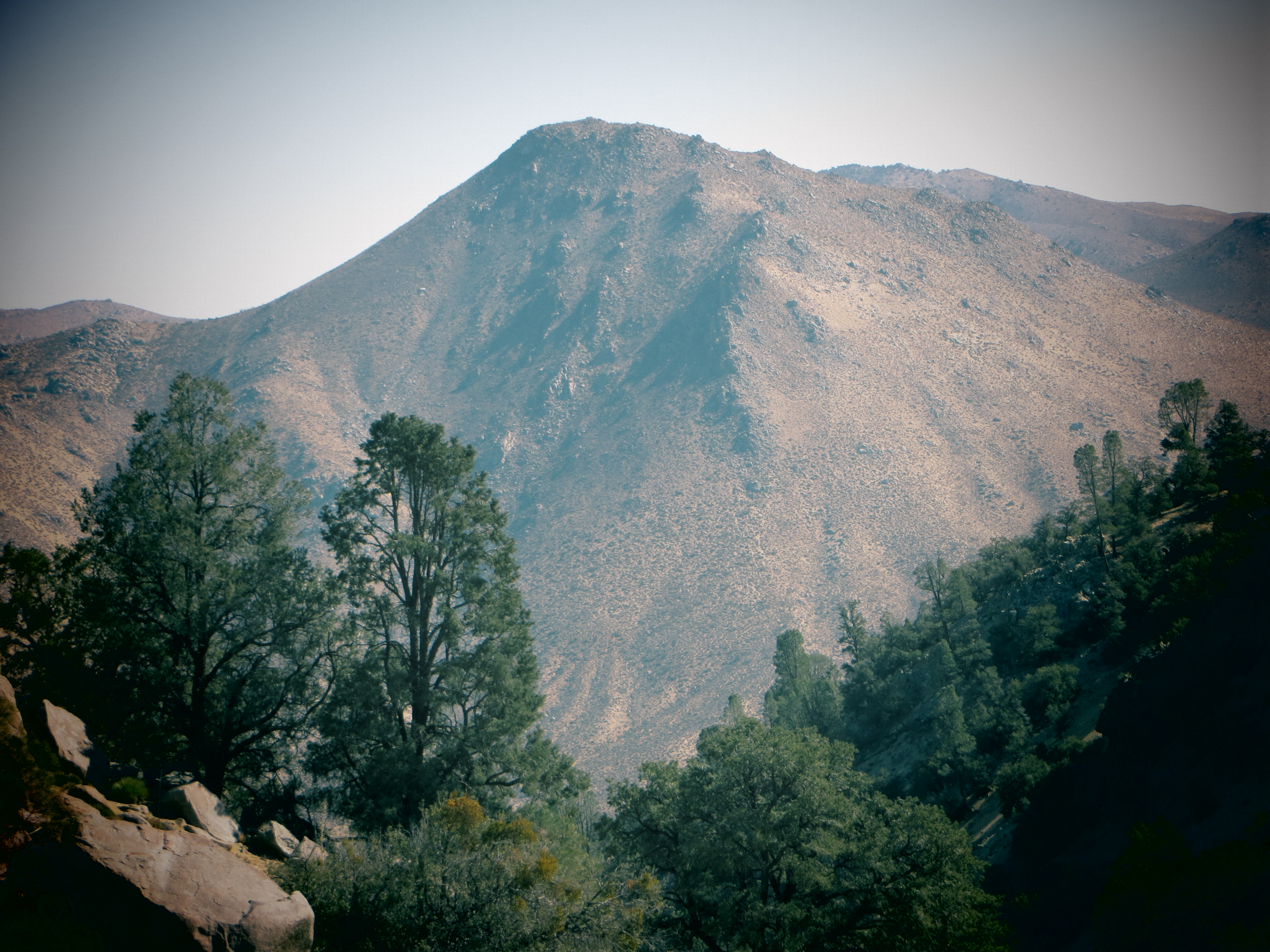
Out West

View of Caliente Creek region in Kern County
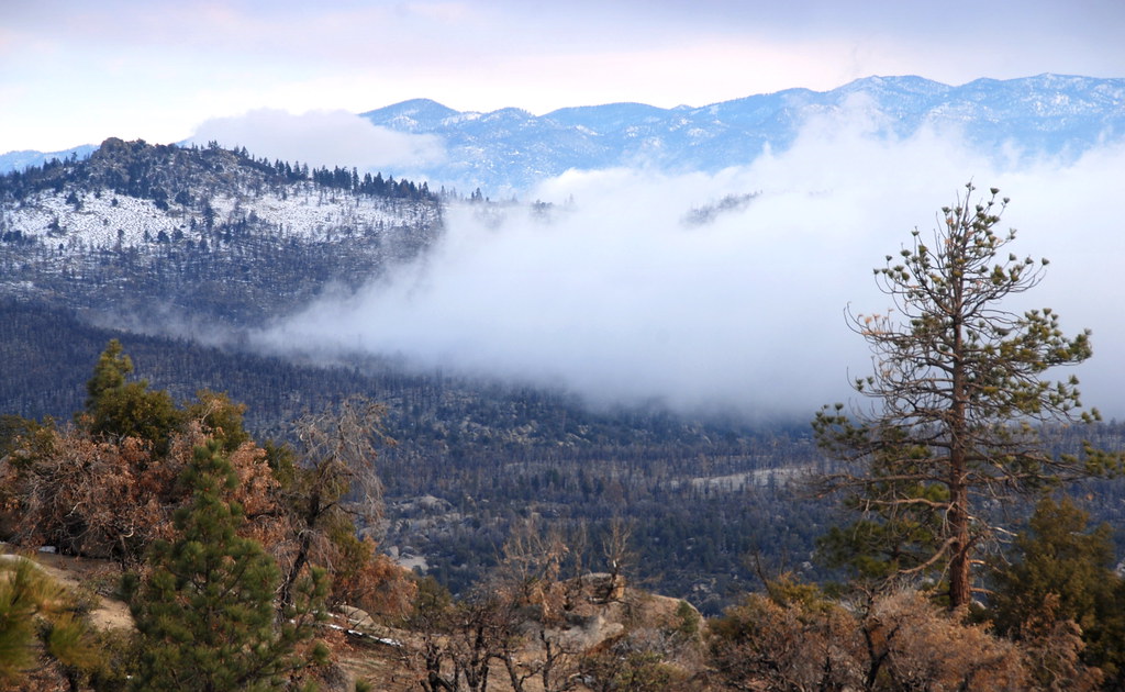
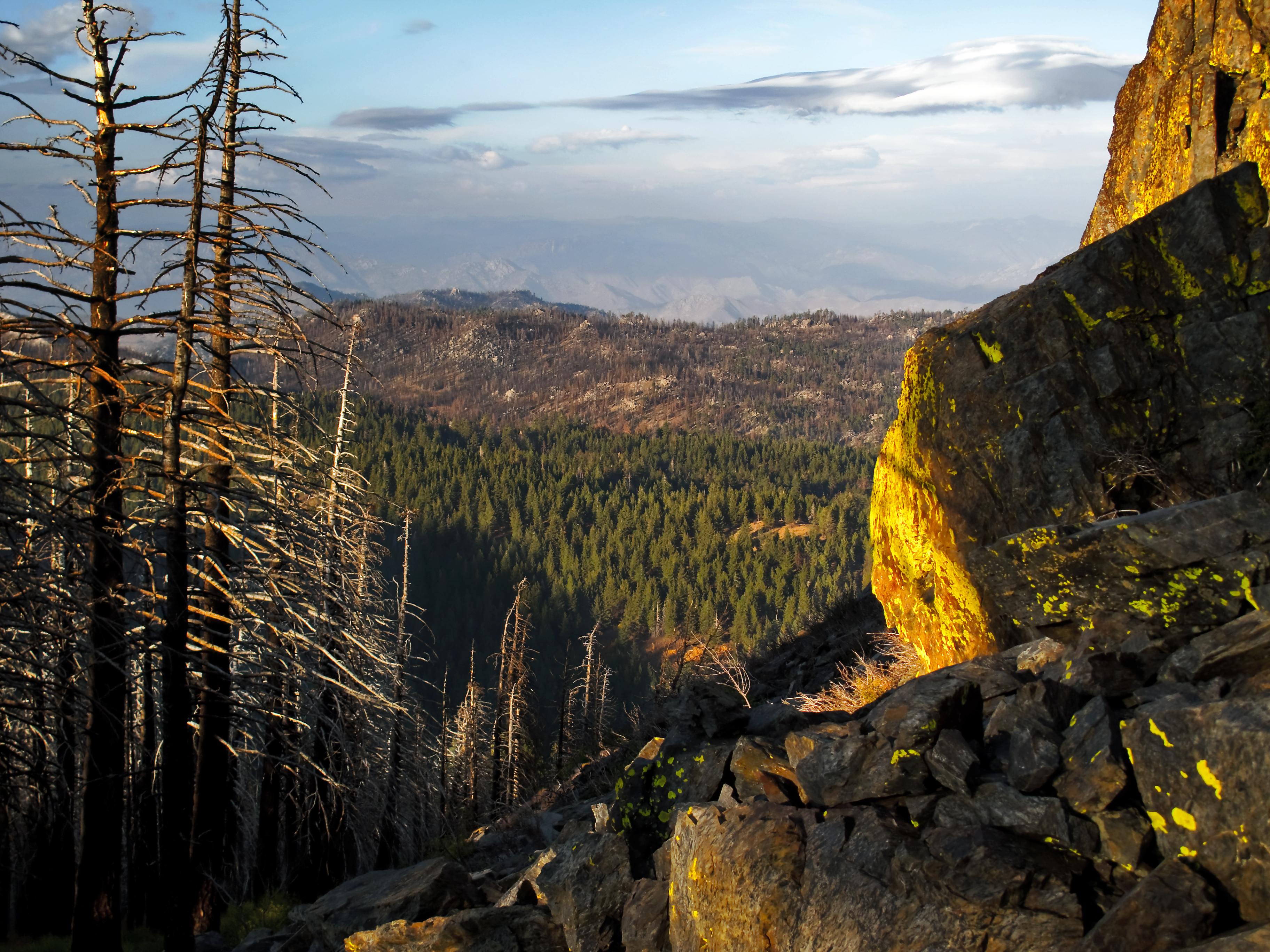
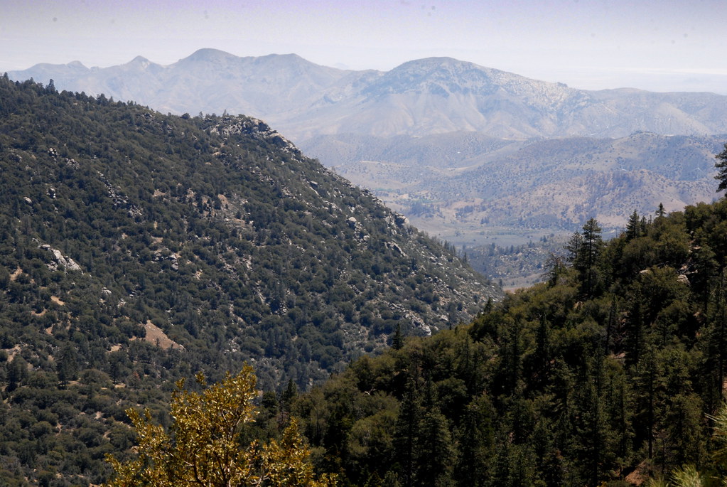
Piute Mountains Landscape
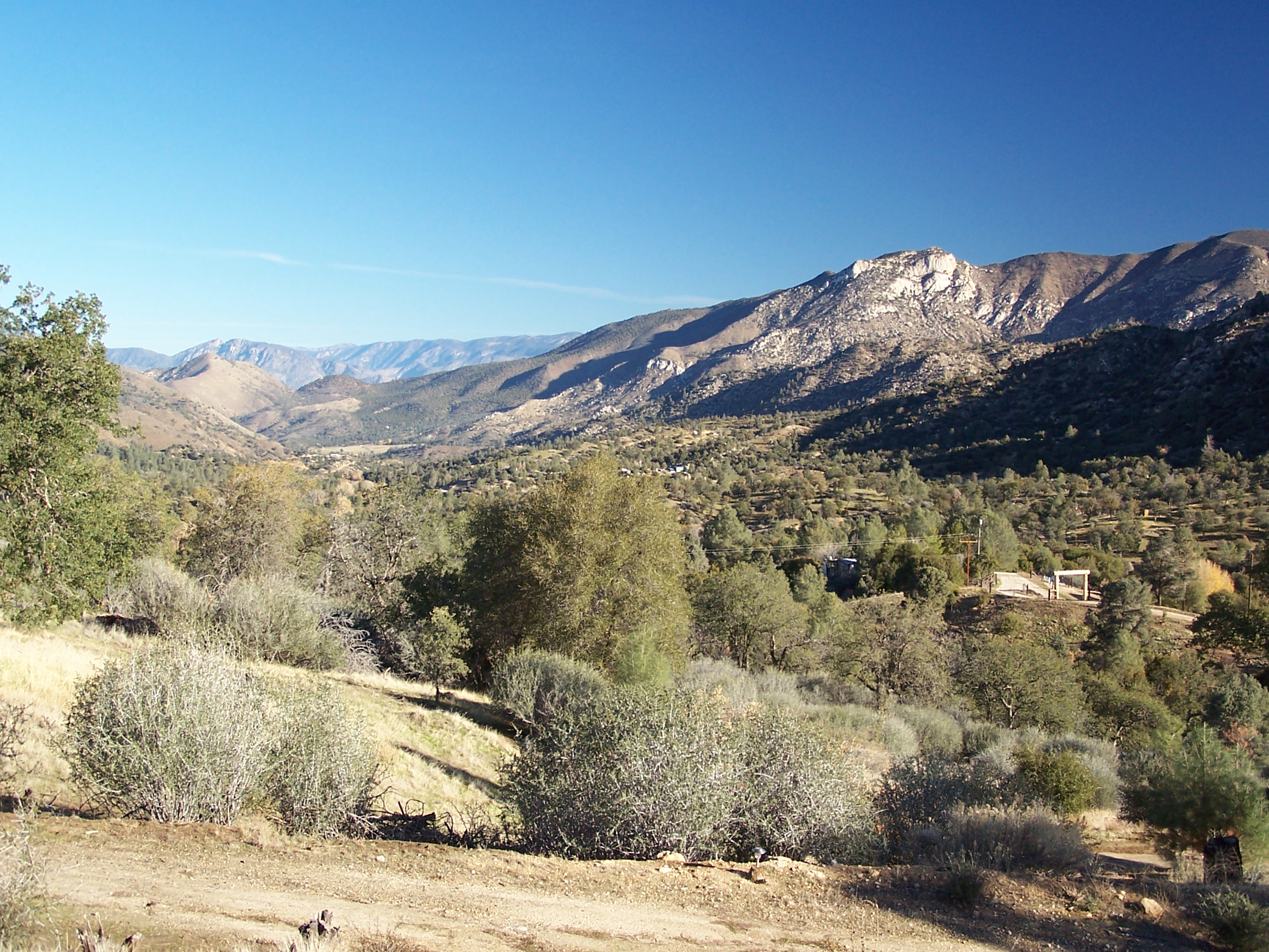
View north from Havilah
view north from piute lookout
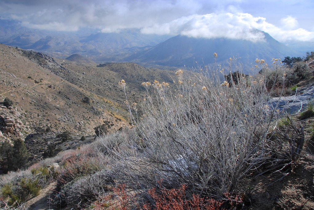
View inton Kelso Valley Road area, PCT, California
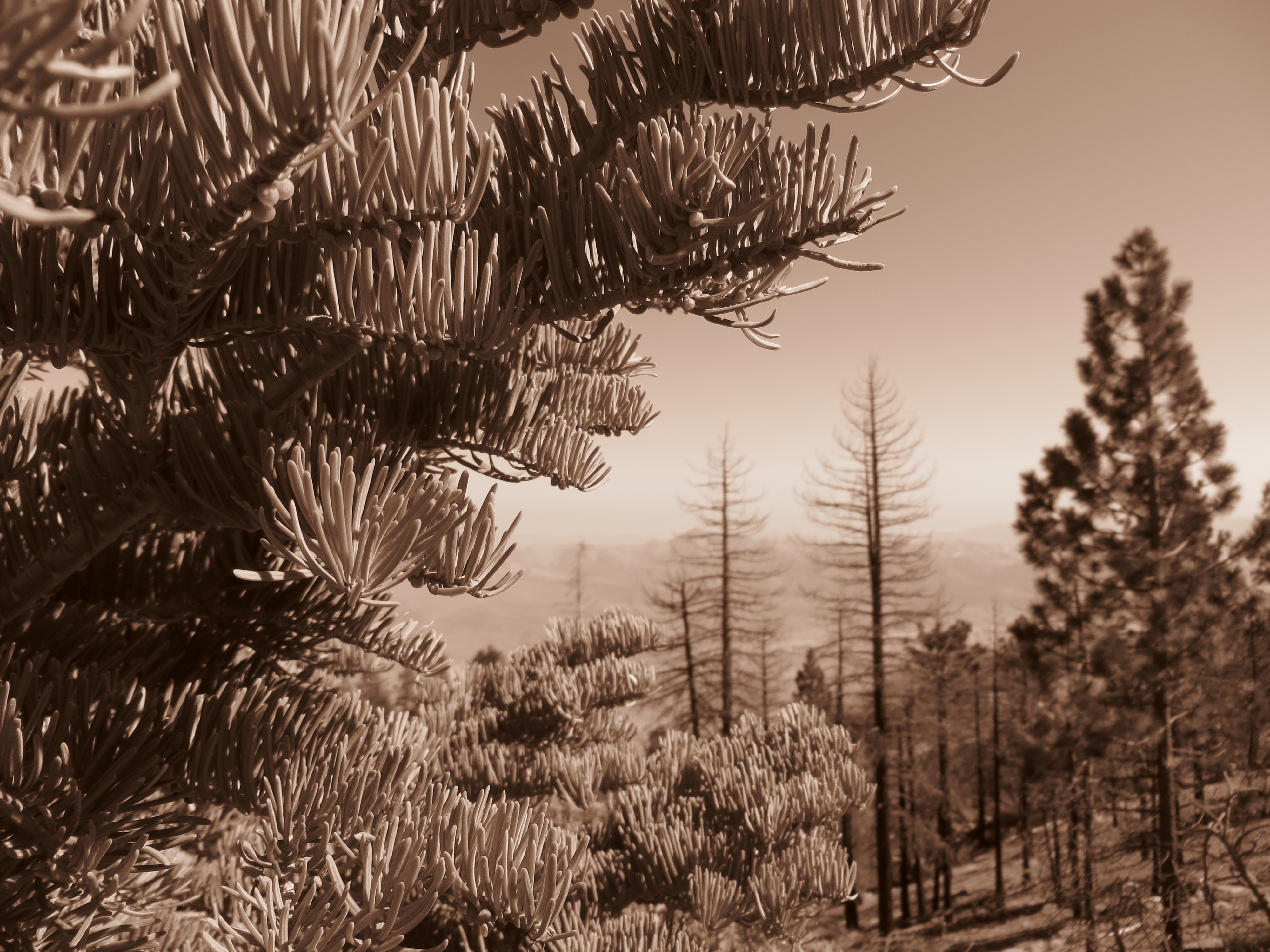
Into the Distance
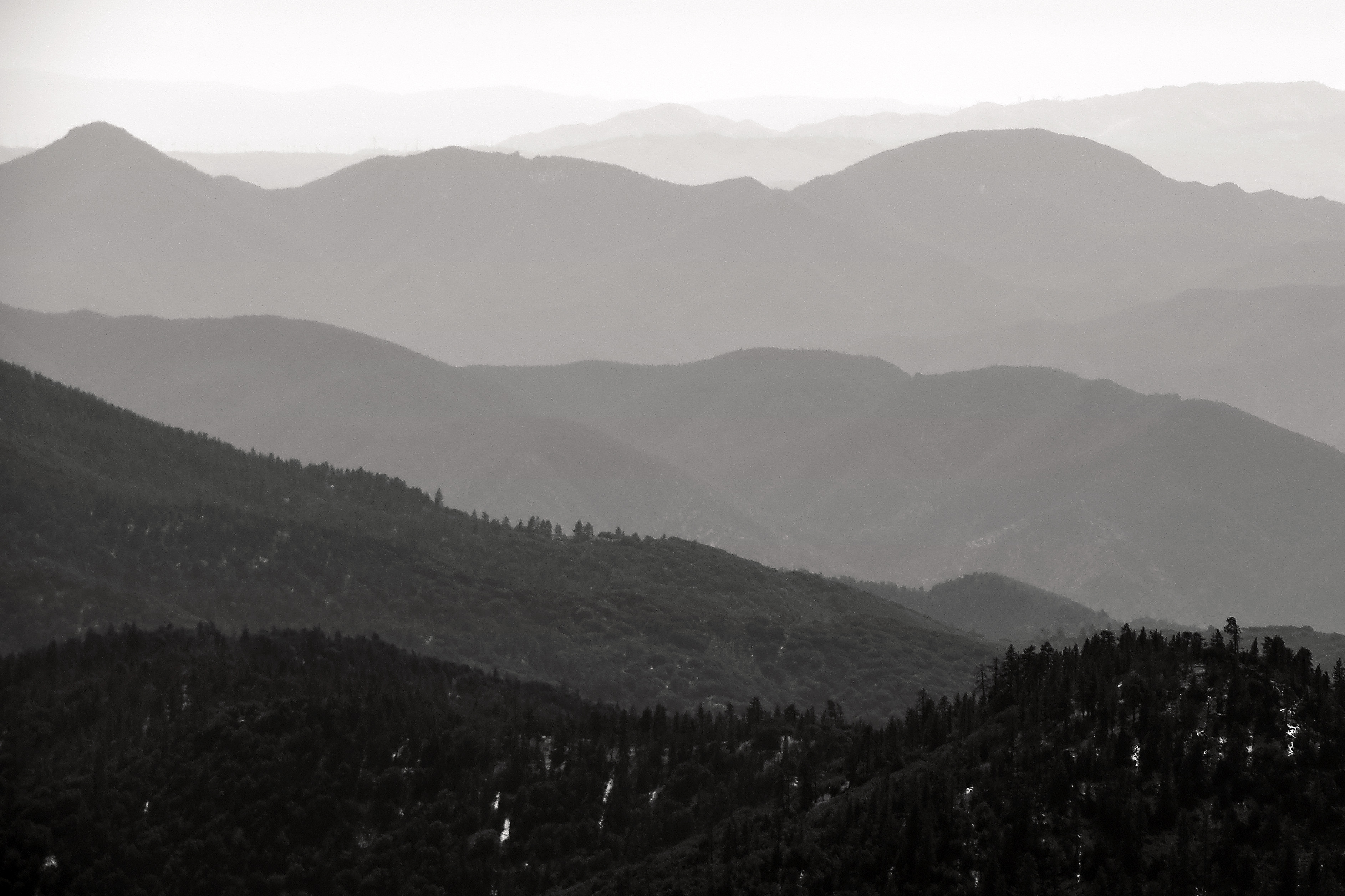
View southeast from Bald Eagle Peak
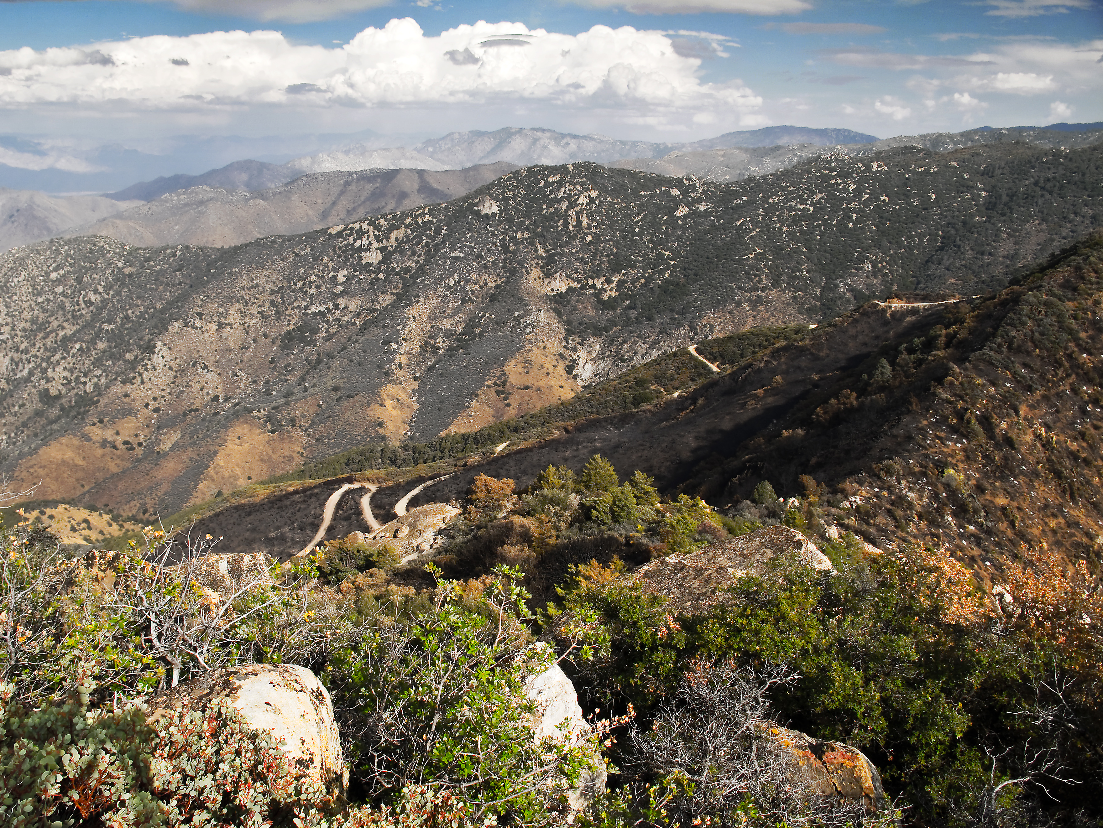
View south from PCT near northmost Jawbone Canyon Road Crossing, CA
美国加利福尼亚州派尤特峰的地图
查询其他地方的日出日落时间
附近地点
Canton Way, Caliente, CA 美国
Schell Ranch Rd, Caliente, CA 美国
Back Canyon Rd, Caliente, CA 美国
Pine Tree Rd, Caliente, CA 美国
Sand Canyon Rd, Caliente, CA 美国
Back Canyon Rd, Caliente, CA 美国Back Canyon Road
Fern St, Bodfish, CA 美国Fern Street
Caliente Bodfish Rd, Havilah, CA 美国
Havilah, CA 美国
9 Hollie Way, Bodfish, CA 美国
Spring Meadow Rd, Caliente, CA 美国
Back Canyon Rd, Caliente, CA 美国
Rembach Ave, Bodfish, CA 美国
Poplar Ln, Bodfish, CA 美国
63 N Alpine Way, Bodfish, CA 美国
Laurel Dr, Bodfish, CA 美国
Bodfish Canyon Rd, Bodfish, CA 美国
Buckhorn Dr, Bodfish, CA 美国
美国加利福尼亚州博德菲什
25 Elk Dr, Bodfish, CA 美国
最近搜索
- 阿根廷布宜諾斯艾利斯聖特爾莫區的日出日落时间表
- Congressional Dr, Stevensville, MD, USA的日出日落时间表
- Papingo 04希腊的日出日落时间表
- Kranto 7-oji g. 8"N, Kaunas, 立陶宛Pagonija rock的日出日落时间表
- Co Rd 87, Jamestown, CO 美国的日出日落时间表
- 哥伦比亚昆迪纳马卡省滕霍的日出日落时间表
- -1 Gosho, Ichihara, Chiba -日本的日出日落时间表
- -日本的日出日落时间表
- Co Rd A, Truth or Consequences, NM 美国美国航天港的日出日落时间表
- 美国罗得岛沃威克的日出日落时间表