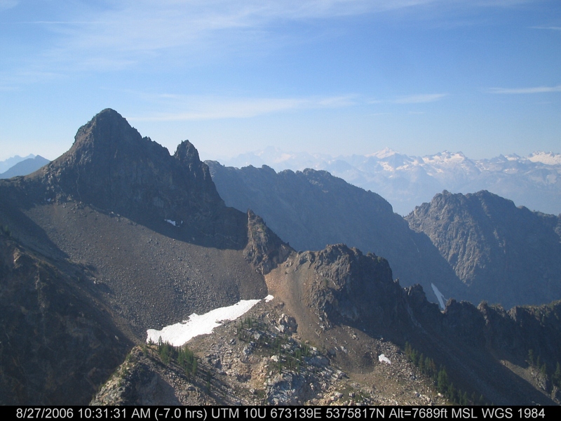
McAlester Mountain, Washington 美国的日出日落时间表
Location: 美国 > 华盛顿 > 斯特希金 >
时区:
America/Los_Angeles
当地时间:
2024-04-28 22:47:04
经度:
-120.6534339
纬度:
48.3981925
今天日出时间:
05:44:43 AM
今天日落时间:
08:14:57 PM
今天日照时常:
14h 30m 14s
明天日出时间:
05:43:02 AM
明天日落时间:
08:16:23 PM
明天日照时常:
14h 33m 21s
显示所有日期
| 日期 | 日出 | 日落 | 日照时常 |
|---|---|---|---|
| 2024年01月01日 | 07:53:55 AM | 04:19:04 PM | 8h 25m 9s |
| 2024年01月02日 | 07:53:49 AM | 04:20:05 PM | 8h 26m 16s |
| 2024年01月03日 | 07:53:41 AM | 04:21:08 PM | 8h 27m 27s |
| 2024年01月04日 | 07:53:30 AM | 04:22:13 PM | 8h 28m 43s |
| 2024年01月05日 | 07:53:16 AM | 04:23:20 PM | 8h 30m 4s |
| 2024年01月06日 | 07:52:59 AM | 04:24:29 PM | 8h 31m 30s |
| 2024年01月07日 | 07:52:39 AM | 04:25:41 PM | 8h 33m 2s |
| 2024年01月08日 | 07:52:16 AM | 04:26:54 PM | 8h 34m 38s |
| 2024年01月09日 | 07:51:51 AM | 04:28:09 PM | 8h 36m 18s |
| 2024年01月10日 | 07:51:22 AM | 04:29:25 PM | 8h 38m 3s |
| 2024年01月11日 | 07:50:51 AM | 04:30:43 PM | 8h 39m 52s |
| 2024年01月12日 | 07:50:17 AM | 04:32:03 PM | 8h 41m 46s |
| 2024年01月13日 | 07:49:40 AM | 04:33:24 PM | 8h 43m 44s |
| 2024年01月14日 | 07:49:01 AM | 04:34:47 PM | 8h 45m 46s |
| 2024年01月15日 | 07:48:18 AM | 04:36:11 PM | 8h 47m 53s |
| 2024年01月16日 | 07:47:33 AM | 04:37:36 PM | 8h 50m 3s |
| 2024年01月17日 | 07:46:46 AM | 04:39:03 PM | 8h 52m 17s |
| 2024年01月18日 | 07:45:56 AM | 04:40:30 PM | 8h 54m 34s |
| 2024年01月19日 | 07:45:04 AM | 04:41:59 PM | 8h 56m 55s |
| 2024年01月20日 | 07:44:09 AM | 04:43:28 PM | 8h 59m 19s |
| 2024年01月21日 | 07:43:11 AM | 04:44:59 PM | 9h 1m 48s |
| 2024年01月22日 | 07:42:11 AM | 04:46:30 PM | 9h 4m 19s |
| 2024年01月23日 | 07:41:09 AM | 04:48:02 PM | 9h 6m 53s |
| 2024年01月24日 | 07:40:05 AM | 04:49:35 PM | 9h 9m 30s |
| 2024年01月25日 | 07:38:58 AM | 04:51:09 PM | 9h 12m 11s |
| 2024年01月26日 | 07:37:49 AM | 04:52:43 PM | 9h 14m 54s |
| 2024年01月27日 | 07:36:38 AM | 04:54:18 PM | 9h 17m 40s |
| 2024年01月28日 | 07:35:25 AM | 04:55:53 PM | 9h 20m 28s |
| 2024年01月29日 | 07:34:10 AM | 04:57:29 PM | 9h 23m 19s |
| 2024年01月30日 | 07:32:52 AM | 04:59:05 PM | 9h 26m 13s |
| 2024年01月31日 | 07:31:33 AM | 05:00:41 PM | 9h 29m 8s |
| 2024年02月01日 | 07:30:12 AM | 05:02:18 PM | 9h 32m 6s |
| 2024年02月02日 | 07:28:49 AM | 05:03:54 PM | 9h 35m 5s |
| 2024年02月03日 | 07:27:24 AM | 05:05:31 PM | 9h 38m 7s |
| 2024年02月04日 | 07:25:58 AM | 05:07:09 PM | 9h 41m 11s |
| 2024年02月05日 | 07:24:29 AM | 05:08:46 PM | 9h 44m 17s |
| 2024年02月06日 | 07:22:59 AM | 05:10:24 PM | 9h 47m 25s |
| 2024年02月07日 | 07:21:28 AM | 05:12:01 PM | 9h 50m 33s |
| 2024年02月08日 | 07:19:54 AM | 05:13:39 PM | 9h 53m 45s |
| 2024年02月09日 | 07:18:19 AM | 05:15:16 PM | 9h 56m 57s |
| 2024年02月10日 | 07:16:43 AM | 05:16:53 PM | 10h 0m 10s |
| 2024年02月11日 | 07:15:05 AM | 05:18:31 PM | 10h 3m 26s |
| 2024年02月12日 | 07:13:26 AM | 05:20:08 PM | 10h 6m 42s |
| 2024年02月13日 | 07:11:45 AM | 05:21:45 PM | 10h 10m 0s |
| 2024年02月14日 | 07:10:04 AM | 05:23:22 PM | 10h 13m 18s |
| 2024年02月15日 | 07:08:20 AM | 05:24:59 PM | 10h 16m 39s |
| 2024年02月16日 | 07:06:36 AM | 05:26:36 PM | 10h 20m 0s |
| 2024年02月17日 | 07:04:50 AM | 05:28:12 PM | 10h 23m 22s |
| 2024年02月18日 | 07:03:03 AM | 05:29:49 PM | 10h 26m 46s |
| 2024年02月19日 | 07:01:16 AM | 05:31:25 PM | 10h 30m 9s |
| 2024年02月20日 | 06:59:27 AM | 05:33:00 PM | 10h 33m 33s |
| 2024年02月21日 | 06:57:36 AM | 05:34:36 PM | 10h 37m 0s |
| 2024年02月22日 | 06:55:45 AM | 05:36:11 PM | 10h 40m 26s |
| 2024年02月23日 | 06:53:53 AM | 05:37:46 PM | 10h 43m 53s |
| 2024年02月24日 | 06:52:01 AM | 05:39:21 PM | 10h 47m 20s |
| 2024年02月25日 | 06:50:07 AM | 05:40:56 PM | 10h 50m 49s |
| 2024年02月26日 | 06:48:12 AM | 05:42:30 PM | 10h 54m 18s |
| 2024年02月27日 | 06:46:17 AM | 05:44:04 PM | 10h 57m 47s |
| 2024年02月28日 | 06:44:20 AM | 05:45:37 PM | 11h 1m 17s |
| 2024年02月29日 | 06:42:23 AM | 05:47:11 PM | 11h 4m 48s |
| 2024年03月01日 | 06:40:26 AM | 05:48:44 PM | 11h 8m 18s |
| 2024年03月02日 | 06:38:27 AM | 05:50:17 PM | 11h 11m 50s |
| 2024年03月03日 | 06:36:28 AM | 05:51:49 PM | 11h 15m 21s |
| 2024年03月04日 | 06:34:29 AM | 05:53:22 PM | 11h 18m 53s |
| 2024年03月05日 | 06:32:29 AM | 05:54:54 PM | 11h 22m 25s |
| 2024年03月06日 | 06:30:28 AM | 05:56:26 PM | 11h 25m 58s |
| 2024年03月07日 | 06:28:27 AM | 05:57:57 PM | 11h 29m 30s |
| 2024年03月08日 | 06:26:25 AM | 05:59:28 PM | 11h 33m 3s |
| 2024年03月09日 | 06:24:23 AM | 06:00:59 PM | 11h 36m 36s |
| 2024年03月10日 | 07:22:26 AM | 07:02:26 PM | 11h 40m 0s |
| 2024年03月11日 | 07:20:23 AM | 07:03:57 PM | 11h 43m 34s |
| 2024年03月12日 | 07:18:20 AM | 07:05:27 PM | 11h 47m 7s |
| 2024年03月13日 | 07:16:16 AM | 07:06:58 PM | 11h 50m 42s |
| 2024年03月14日 | 07:14:13 AM | 07:08:27 PM | 11h 54m 14s |
| 2024年03月15日 | 07:12:09 AM | 07:09:57 PM | 11h 57m 48s |
| 2024年03月16日 | 07:10:05 AM | 07:11:27 PM | 12h 1m 22s |
| 2024年03月17日 | 07:08:00 AM | 07:12:56 PM | 12h 4m 56s |
| 2024年03月18日 | 07:05:56 AM | 07:14:25 PM | 12h 8m 29s |
| 2024年03月19日 | 07:03:51 AM | 07:15:55 PM | 12h 12m 4s |
| 2024年03月20日 | 07:01:47 AM | 07:17:23 PM | 12h 15m 36s |
| 2024年03月21日 | 06:59:42 AM | 07:18:52 PM | 12h 19m 10s |
| 2024年03月22日 | 06:57:37 AM | 07:20:21 PM | 12h 22m 44s |
| 2024年03月23日 | 06:55:32 AM | 07:21:49 PM | 12h 26m 17s |
| 2024年03月24日 | 06:53:28 AM | 07:23:18 PM | 12h 29m 50s |
| 2024年03月25日 | 06:51:23 AM | 07:24:46 PM | 12h 33m 23s |
| 2024年03月26日 | 06:49:19 AM | 07:26:15 PM | 12h 36m 56s |
| 2024年03月27日 | 06:47:14 AM | 07:27:43 PM | 12h 40m 29s |
| 2024年03月28日 | 06:45:10 AM | 07:29:11 PM | 12h 44m 1s |
| 2024年03月29日 | 06:43:06 AM | 07:30:39 PM | 12h 47m 33s |
| 2024年03月30日 | 06:41:02 AM | 07:32:07 PM | 12h 51m 5s |
| 2024年03月31日 | 06:38:59 AM | 07:33:35 PM | 12h 54m 36s |
| 2024年04月01日 | 06:36:56 AM | 07:35:03 PM | 12h 58m 7s |
| 2024年04月02日 | 06:34:53 AM | 07:36:31 PM | 13h 1m 38s |
| 2024年04月03日 | 06:32:50 AM | 07:37:59 PM | 13h 5m 9s |
| 2024年04月04日 | 06:30:48 AM | 07:39:26 PM | 13h 8m 38s |
| 2024年04月05日 | 06:28:47 AM | 07:40:54 PM | 13h 12m 7s |
| 2024年04月06日 | 06:26:45 AM | 07:42:22 PM | 13h 15m 37s |
| 2024年04月07日 | 06:24:45 AM | 07:43:50 PM | 13h 19m 5s |
| 2024年04月08日 | 06:22:44 AM | 07:45:17 PM | 13h 22m 33s |
| 2024年04月09日 | 06:20:45 AM | 07:46:45 PM | 13h 26m 0s |
| 2024年04月10日 | 06:18:45 AM | 07:48:13 PM | 13h 29m 28s |
| 2024年04月11日 | 06:16:47 AM | 07:49:41 PM | 13h 32m 54s |
| 2024年04月12日 | 06:14:49 AM | 07:51:08 PM | 13h 36m 19s |
| 2024年04月13日 | 06:12:52 AM | 07:52:36 PM | 13h 39m 44s |
| 2024年04月14日 | 06:10:56 AM | 07:54:04 PM | 13h 43m 8s |
| 2024年04月15日 | 06:09:00 AM | 07:55:31 PM | 13h 46m 31s |
| 2024年04月16日 | 06:07:05 AM | 07:56:59 PM | 13h 49m 54s |
| 2024年04月17日 | 06:05:11 AM | 07:58:27 PM | 13h 53m 16s |
| 2024年04月18日 | 06:03:18 AM | 07:59:54 PM | 13h 56m 36s |
| 2024年04月19日 | 06:01:25 AM | 08:01:22 PM | 13h 59m 57s |
| 2024年04月20日 | 05:59:34 AM | 08:02:49 PM | 14h 3m 15s |
| 2024年04月21日 | 05:57:44 AM | 08:04:16 PM | 14h 6m 32s |
| 2024年04月22日 | 05:55:54 AM | 08:05:44 PM | 14h 9m 50s |
| 2024年04月23日 | 05:54:06 AM | 08:07:11 PM | 14h 13m 5s |
| 2024年04月24日 | 05:52:19 AM | 08:08:38 PM | 14h 16m 19s |
| 2024年04月25日 | 05:50:32 AM | 08:10:05 PM | 14h 19m 33s |
| 2024年04月26日 | 05:48:47 AM | 08:11:32 PM | 14h 22m 45s |
| 2024年04月27日 | 05:47:04 AM | 08:12:58 PM | 14h 25m 54s |
| 2024年04月28日 | 05:45:21 AM | 08:14:25 PM | 14h 29m 4s |
| 2024年04月29日 | 05:43:40 AM | 08:15:51 PM | 14h 32m 11s |
| 2024年04月30日 | 05:42:00 AM | 08:17:17 PM | 14h 35m 17s |
| 2024年05月01日 | 05:40:21 AM | 08:18:42 PM | 14h 38m 21s |
| 2024年05月02日 | 05:38:44 AM | 08:20:08 PM | 14h 41m 24s |
| 2024年05月03日 | 05:37:08 AM | 08:21:33 PM | 14h 44m 25s |
| 2024年05月04日 | 05:35:34 AM | 08:22:57 PM | 14h 47m 23s |
| 2024年05月05日 | 05:34:02 AM | 08:24:21 PM | 14h 50m 19s |
| 2024年05月06日 | 05:32:30 AM | 08:25:45 PM | 14h 53m 15s |
| 2024年05月07日 | 05:31:01 AM | 08:27:08 PM | 14h 56m 7s |
| 2024年05月08日 | 05:29:33 AM | 08:28:31 PM | 14h 58m 58s |
| 2024年05月09日 | 05:28:07 AM | 08:29:53 PM | 15h 1m 46s |
| 2024年05月10日 | 05:26:42 AM | 08:31:15 PM | 15h 4m 33s |
| 2024年05月11日 | 05:25:20 AM | 08:32:36 PM | 15h 7m 16s |
| 2024年05月12日 | 05:23:59 AM | 08:33:56 PM | 15h 9m 57s |
| 2024年05月13日 | 05:22:40 AM | 08:35:16 PM | 15h 12m 36s |
| 2024年05月14日 | 05:21:23 AM | 08:36:35 PM | 15h 15m 12s |
| 2024年05月15日 | 05:20:07 AM | 08:37:53 PM | 15h 17m 46s |
| 2024年05月16日 | 05:18:54 AM | 08:39:10 PM | 15h 20m 16s |
| 2024年05月17日 | 05:17:43 AM | 08:40:26 PM | 15h 22m 43s |
| 2024年05月18日 | 05:16:34 AM | 08:41:42 PM | 15h 25m 8s |
| 2024年05月19日 | 05:15:27 AM | 08:42:56 PM | 15h 27m 29s |
| 2024年05月20日 | 05:14:22 AM | 08:44:09 PM | 15h 29m 47s |
| 2024年05月21日 | 05:13:20 AM | 08:45:21 PM | 15h 32m 1s |
| 2024年05月22日 | 05:12:19 AM | 08:46:32 PM | 15h 34m 13s |
| 2024年05月23日 | 05:11:21 AM | 08:47:41 PM | 15h 36m 20s |
| 2024年05月24日 | 05:10:25 AM | 08:48:50 PM | 15h 38m 25s |
| 2024年05月25日 | 05:09:32 AM | 08:49:57 PM | 15h 40m 25s |
| 2024年05月26日 | 05:08:41 AM | 08:51:02 PM | 15h 42m 21s |
| 2024年05月27日 | 05:07:52 AM | 08:52:06 PM | 15h 44m 14s |
| 2024年05月28日 | 05:07:06 AM | 08:53:09 PM | 15h 46m 3s |
| 2024年05月29日 | 05:06:22 AM | 08:54:09 PM | 15h 47m 47s |
| 2024年05月30日 | 05:05:40 AM | 08:55:09 PM | 15h 49m 29s |
| 2024年05月31日 | 05:05:02 AM | 08:56:06 PM | 15h 51m 4s |
| 2024年06月01日 | 05:04:25 AM | 08:57:02 PM | 15h 52m 37s |
| 2024年06月02日 | 05:03:52 AM | 08:57:55 PM | 15h 54m 3s |
| 2024年06月03日 | 05:03:21 AM | 08:58:47 PM | 15h 55m 26s |
| 2024年06月04日 | 05:02:52 AM | 08:59:37 PM | 15h 56m 45s |
| 2024年06月05日 | 05:02:26 AM | 09:00:25 PM | 15h 57m 59s |
| 2024年06月06日 | 05:02:03 AM | 09:01:11 PM | 15h 59m 8s |
| 2024年06月07日 | 05:01:42 AM | 09:01:55 PM | 16h 0m 13s |
| 2024年06月08日 | 05:01:24 AM | 09:02:37 PM | 16h 1m 13s |
| 2024年06月09日 | 05:01:09 AM | 09:03:16 PM | 16h 2m 7s |
| 2024年06月10日 | 05:00:56 AM | 09:03:53 PM | 16h 2m 57s |
| 2024年06月11日 | 05:00:46 AM | 09:04:28 PM | 16h 3m 42s |
| 2024年06月12日 | 05:00:39 AM | 09:05:01 PM | 16h 4m 22s |
| 2024年06月13日 | 05:00:34 AM | 09:05:31 PM | 16h 4m 57s |
| 2024年06月14日 | 05:00:32 AM | 09:05:58 PM | 16h 5m 26s |
| 2024年06月15日 | 05:00:33 AM | 09:06:24 PM | 16h 5m 51s |
| 2024年06月16日 | 05:00:37 AM | 09:06:46 PM | 16h 6m 9s |
| 2024年06月17日 | 05:00:43 AM | 09:07:06 PM | 16h 6m 23s |
| 2024年06月18日 | 05:00:51 AM | 09:07:24 PM | 16h 6m 33s |
| 2024年06月19日 | 05:01:02 AM | 09:07:39 PM | 16h 6m 37s |
| 2024年06月20日 | 05:01:16 AM | 09:07:51 PM | 16h 6m 35s |
| 2024年06月21日 | 05:01:32 AM | 09:08:01 PM | 16h 6m 29s |
| 2024年06月22日 | 05:01:51 AM | 09:08:08 PM | 16h 6m 17s |
| 2024年06月23日 | 05:02:12 AM | 09:08:13 PM | 16h 6m 1s |
| 2024年06月24日 | 05:02:36 AM | 09:08:14 PM | 16h 5m 38s |
| 2024年06月25日 | 05:03:02 AM | 09:08:13 PM | 16h 5m 11s |
| 2024年06月26日 | 05:03:31 AM | 09:08:09 PM | 16h 4m 38s |
| 2024年06月27日 | 05:04:02 AM | 09:08:03 PM | 16h 4m 1s |
| 2024年06月28日 | 05:04:35 AM | 09:07:54 PM | 16h 3m 19s |
| 2024年06月29日 | 05:05:10 AM | 09:07:42 PM | 16h 2m 32s |
| 2024年06月30日 | 05:05:48 AM | 09:07:27 PM | 16h 1m 39s |
| 2024年07月01日 | 05:06:28 AM | 09:07:10 PM | 16h 0m 42s |
| 2024年07月02日 | 05:07:10 AM | 09:06:50 PM | 15h 59m 40s |
| 2024年07月03日 | 05:07:54 AM | 09:06:27 PM | 15h 58m 33s |
| 2024年07月04日 | 05:08:40 AM | 09:06:02 PM | 15h 57m 22s |
| 2024年07月05日 | 05:09:27 AM | 09:05:34 PM | 15h 56m 7s |
| 2024年07月06日 | 05:10:17 AM | 09:05:03 PM | 15h 54m 46s |
| 2024年07月07日 | 05:11:09 AM | 09:04:30 PM | 15h 53m 21s |
| 2024年07月08日 | 05:12:02 AM | 09:03:54 PM | 15h 51m 52s |
| 2024年07月09日 | 05:12:57 AM | 09:03:15 PM | 15h 50m 18s |
| 2024年07月10日 | 05:13:54 AM | 09:02:34 PM | 15h 48m 40s |
| 2024年07月11日 | 05:14:52 AM | 09:01:51 PM | 15h 46m 59s |
| 2024年07月12日 | 05:15:52 AM | 09:01:05 PM | 15h 45m 13s |
| 2024年07月13日 | 05:16:54 AM | 09:00:16 PM | 15h 43m 22s |
| 2024年07月14日 | 05:17:57 AM | 08:59:25 PM | 15h 41m 28s |
| 2024年07月15日 | 05:19:01 AM | 08:58:32 PM | 15h 39m 31s |
| 2024年07月16日 | 05:20:06 AM | 08:57:36 PM | 15h 37m 30s |
| 2024年07月17日 | 05:21:13 AM | 08:56:38 PM | 15h 35m 25s |
| 2024年07月18日 | 05:22:21 AM | 08:55:37 PM | 15h 33m 16s |
| 2024年07月19日 | 05:23:30 AM | 08:54:35 PM | 15h 31m 5s |
| 2024年07月20日 | 05:24:40 AM | 08:53:30 PM | 15h 28m 50s |
| 2024年07月21日 | 05:25:52 AM | 08:52:23 PM | 15h 26m 31s |
| 2024年07月22日 | 05:27:04 AM | 08:51:14 PM | 15h 24m 10s |
| 2024年07月23日 | 05:28:17 AM | 08:50:02 PM | 15h 21m 45s |
| 2024年07月24日 | 05:29:31 AM | 08:48:49 PM | 15h 19m 18s |
| 2024年07月25日 | 05:30:46 AM | 08:47:34 PM | 15h 16m 48s |
| 2024年07月26日 | 05:32:01 AM | 08:46:17 PM | 15h 14m 16s |
| 2024年07月27日 | 05:33:17 AM | 08:44:57 PM | 15h 11m 40s |
| 2024年07月28日 | 05:34:34 AM | 08:43:36 PM | 15h 9m 2s |
| 2024年07月29日 | 05:35:52 AM | 08:42:13 PM | 15h 6m 21s |
| 2024年07月30日 | 05:37:10 AM | 08:40:48 PM | 15h 3m 38s |
| 2024年07月31日 | 05:38:29 AM | 08:39:22 PM | 15h 0m 53s |
| 2024年08月01日 | 05:39:48 AM | 08:37:54 PM | 14h 58m 6s |
| 2024年08月02日 | 05:41:08 AM | 08:36:24 PM | 14h 55m 16s |
| 2024年08月03日 | 05:42:28 AM | 08:34:52 PM | 14h 52m 24s |
| 2024年08月04日 | 05:43:48 AM | 08:33:19 PM | 14h 49m 31s |
| 2024年08月05日 | 05:45:09 AM | 08:31:44 PM | 14h 46m 35s |
| 2024年08月06日 | 05:46:30 AM | 08:30:08 PM | 14h 43m 38s |
| 2024年08月07日 | 05:47:52 AM | 08:28:31 PM | 14h 40m 39s |
| 2024年08月08日 | 05:49:14 AM | 08:26:51 PM | 14h 37m 37s |
| 2024年08月09日 | 05:50:36 AM | 08:25:11 PM | 14h 34m 35s |
| 2024年08月10日 | 05:51:58 AM | 08:23:29 PM | 14h 31m 31s |
| 2024年08月11日 | 05:53:20 AM | 08:21:46 PM | 14h 28m 26s |
| 2024年08月12日 | 05:54:43 AM | 08:20:02 PM | 14h 25m 19s |
| 2024年08月13日 | 05:56:05 AM | 08:18:16 PM | 14h 22m 11s |
| 2024年08月14日 | 05:57:28 AM | 08:16:29 PM | 14h 19m 1s |
| 2024年08月15日 | 05:58:51 AM | 08:14:41 PM | 14h 15m 50s |
| 2024年08月16日 | 06:00:14 AM | 08:12:52 PM | 14h 12m 38s |
| 2024年08月17日 | 06:01:37 AM | 08:11:02 PM | 14h 9m 25s |
| 2024年08月18日 | 06:03:00 AM | 08:09:11 PM | 14h 6m 11s |
| 2024年08月19日 | 06:04:23 AM | 08:07:19 PM | 14h 2m 56s |
| 2024年08月20日 | 06:05:47 AM | 08:05:26 PM | 13h 59m 39s |
| 2024年08月21日 | 06:07:10 AM | 08:03:32 PM | 13h 56m 22s |
| 2024年08月22日 | 06:08:33 AM | 08:01:37 PM | 13h 53m 4s |
| 2024年08月23日 | 06:09:56 AM | 07:59:41 PM | 13h 49m 45s |
| 2024年08月24日 | 06:11:19 AM | 07:57:44 PM | 13h 46m 25s |
| 2024年08月25日 | 06:12:42 AM | 07:55:47 PM | 13h 43m 5s |
| 2024年08月26日 | 06:14:06 AM | 07:53:49 PM | 13h 39m 43s |
| 2024年08月27日 | 06:15:29 AM | 07:51:50 PM | 13h 36m 21s |
| 2024年08月28日 | 06:16:52 AM | 07:49:51 PM | 13h 32m 59s |
| 2024年08月29日 | 06:18:15 AM | 07:47:50 PM | 13h 29m 35s |
| 2024年08月30日 | 06:19:38 AM | 07:45:50 PM | 13h 26m 12s |
| 2024年08月31日 | 06:21:01 AM | 07:43:48 PM | 13h 22m 47s |
| 2024年09月01日 | 06:22:24 AM | 07:41:46 PM | 13h 19m 22s |
| 2024年09月02日 | 06:23:47 AM | 07:39:44 PM | 13h 15m 57s |
| 2024年09月03日 | 06:25:10 AM | 07:37:41 PM | 13h 12m 31s |
| 2024年09月04日 | 06:26:33 AM | 07:35:38 PM | 13h 9m 5s |
| 2024年09月05日 | 06:27:56 AM | 07:33:34 PM | 13h 5m 38s |
| 2024年09月06日 | 06:29:19 AM | 07:31:30 PM | 13h 2m 11s |
| 2024年09月07日 | 06:30:42 AM | 07:29:25 PM | 12h 58m 43s |
| 2024年09月08日 | 06:32:06 AM | 07:27:20 PM | 12h 55m 14s |
| 2024年09月09日 | 06:33:29 AM | 07:25:15 PM | 12h 51m 46s |
| 2024年09月10日 | 06:34:52 AM | 07:23:10 PM | 12h 48m 18s |
| 2024年09月11日 | 06:36:15 AM | 07:21:04 PM | 12h 44m 49s |
| 2024年09月12日 | 06:37:38 AM | 07:18:58 PM | 12h 41m 20s |
| 2024年09月13日 | 06:39:01 AM | 07:16:52 PM | 12h 37m 51s |
| 2024年09月14日 | 06:40:25 AM | 07:14:46 PM | 12h 34m 21s |
| 2024年09月15日 | 06:41:48 AM | 07:12:40 PM | 12h 30m 52s |
| 2024年09月16日 | 06:43:11 AM | 07:10:34 PM | 12h 27m 23s |
| 2024年09月17日 | 06:44:35 AM | 07:08:27 PM | 12h 23m 52s |
| 2024年09月18日 | 06:45:59 AM | 07:06:21 PM | 12h 20m 22s |
| 2024年09月19日 | 06:47:22 AM | 07:04:14 PM | 12h 16m 52s |
| 2024年09月20日 | 06:48:46 AM | 07:02:08 PM | 12h 13m 22s |
| 2024年09月21日 | 06:50:10 AM | 07:00:02 PM | 12h 9m 52s |
| 2024年09月22日 | 06:51:34 AM | 06:57:55 PM | 12h 6m 21s |
| 2024年09月23日 | 06:52:59 AM | 06:55:49 PM | 12h 2m 50s |
| 2024年09月24日 | 06:54:23 AM | 06:53:43 PM | 11h 59m 20s |
| 2024年09月25日 | 06:55:48 AM | 06:51:38 PM | 11h 55m 50s |
| 2024年09月26日 | 06:57:13 AM | 06:49:32 PM | 11h 52m 19s |
| 2024年09月27日 | 06:58:38 AM | 06:47:27 PM | 11h 48m 49s |
| 2024年09月28日 | 07:00:03 AM | 06:45:22 PM | 11h 45m 19s |
| 2024年09月29日 | 07:01:29 AM | 06:43:17 PM | 11h 41m 48s |
| 2024年09月30日 | 07:02:55 AM | 06:41:13 PM | 11h 38m 18s |
| 2024年10月01日 | 07:04:20 AM | 06:39:09 PM | 11h 34m 49s |
| 2024年10月02日 | 07:05:47 AM | 06:37:05 PM | 11h 31m 18s |
| 2024年10月03日 | 07:07:13 AM | 06:35:02 PM | 11h 27m 49s |
| 2024年10月04日 | 07:08:40 AM | 06:32:59 PM | 11h 24m 19s |
| 2024年10月05日 | 07:10:07 AM | 06:30:57 PM | 11h 20m 50s |
| 2024年10月06日 | 07:11:34 AM | 06:28:56 PM | 11h 17m 22s |
| 2024年10月07日 | 07:13:02 AM | 06:26:55 PM | 11h 13m 53s |
| 2024年10月08日 | 07:14:30 AM | 06:24:54 PM | 11h 10m 24s |
| 2024年10月09日 | 07:15:58 AM | 06:22:54 PM | 11h 6m 56s |
| 2024年10月10日 | 07:17:26 AM | 06:20:55 PM | 11h 3m 29s |
| 2024年10月11日 | 07:18:55 AM | 06:18:57 PM | 11h 0m 2s |
| 2024年10月12日 | 07:20:24 AM | 06:16:59 PM | 10h 56m 35s |
| 2024年10月13日 | 07:21:53 AM | 06:15:02 PM | 10h 53m 9s |
| 2024年10月14日 | 07:23:23 AM | 06:13:06 PM | 10h 49m 43s |
| 2024年10月15日 | 07:24:53 AM | 06:11:11 PM | 10h 46m 18s |
| 2024年10月16日 | 07:26:23 AM | 06:09:16 PM | 10h 42m 53s |
| 2024年10月17日 | 07:27:54 AM | 06:07:23 PM | 10h 39m 29s |
| 2024年10月18日 | 07:29:25 AM | 06:05:30 PM | 10h 36m 5s |
| 2024年10月19日 | 07:30:56 AM | 06:03:39 PM | 10h 32m 43s |
| 2024年10月20日 | 07:32:27 AM | 06:01:48 PM | 10h 29m 21s |
| 2024年10月21日 | 07:33:59 AM | 05:59:59 PM | 10h 26m 0s |
| 2024年10月22日 | 07:35:31 AM | 05:58:11 PM | 10h 22m 40s |
| 2024年10月23日 | 07:37:03 AM | 05:56:24 PM | 10h 19m 21s |
| 2024年10月24日 | 07:38:35 AM | 05:54:38 PM | 10h 16m 3s |
| 2024年10月25日 | 07:40:08 AM | 05:52:53 PM | 10h 12m 45s |
| 2024年10月26日 | 07:41:41 AM | 05:51:10 PM | 10h 9m 29s |
| 2024年10月27日 | 07:43:14 AM | 05:49:28 PM | 10h 6m 14s |
| 2024年10月28日 | 07:44:47 AM | 05:47:47 PM | 10h 3m 0s |
| 2024年10月29日 | 07:46:20 AM | 05:46:08 PM | 9h 59m 48s |
| 2024年10月30日 | 07:47:54 AM | 05:44:30 PM | 9h 56m 36s |
| 2024年10月31日 | 07:49:27 AM | 05:42:53 PM | 9h 53m 26s |
| 2024年11月01日 | 07:51:01 AM | 05:41:19 PM | 9h 50m 18s |
| 2024年11月02日 | 07:52:35 AM | 05:39:45 PM | 9h 47m 10s |
| 2024年11月03日 | 06:54:12 AM | 04:38:10 PM | 9h 43m 58s |
| 2024年11月04日 | 06:55:46 AM | 04:36:40 PM | 9h 40m 54s |
| 2024年11月05日 | 06:57:20 AM | 04:35:12 PM | 9h 37m 52s |
| 2024年11月06日 | 06:58:53 AM | 04:33:46 PM | 9h 34m 53s |
| 2024年11月07日 | 07:00:26 AM | 04:32:21 PM | 9h 31m 55s |
| 2024年11月08日 | 07:02:00 AM | 04:30:59 PM | 9h 28m 59s |
| 2024年11月09日 | 07:03:33 AM | 04:29:38 PM | 9h 26m 5s |
| 2024年11月10日 | 07:05:05 AM | 04:28:19 PM | 9h 23m 14s |
| 2024年11月11日 | 07:06:38 AM | 04:27:02 PM | 9h 20m 24s |
| 2024年11月12日 | 07:08:10 AM | 04:25:48 PM | 9h 17m 38s |
| 2024年11月13日 | 07:09:41 AM | 04:24:35 PM | 9h 14m 54s |
| 2024年11月14日 | 07:11:12 AM | 04:23:25 PM | 9h 12m 13s |
| 2024年11月15日 | 07:12:43 AM | 04:22:16 PM | 9h 9m 33s |
| 2024年11月16日 | 07:14:13 AM | 04:21:10 PM | 9h 6m 57s |
| 2024年11月17日 | 07:15:42 AM | 04:20:07 PM | 9h 4m 25s |
| 2024年11月18日 | 07:17:11 AM | 04:19:05 PM | 9h 1m 54s |
| 2024年11月19日 | 07:18:39 AM | 04:18:06 PM | 8h 59m 27s |
| 2024年11月20日 | 07:20:06 AM | 04:17:10 PM | 8h 57m 4s |
| 2024年11月21日 | 07:21:33 AM | 04:16:16 PM | 8h 54m 43s |
| 2024年11月22日 | 07:22:58 AM | 04:15:24 PM | 8h 52m 26s |
| 2024年11月23日 | 07:24:22 AM | 04:14:35 PM | 8h 50m 13s |
| 2024年11月24日 | 07:25:45 AM | 04:13:49 PM | 8h 48m 4s |
| 2024年11月25日 | 07:27:07 AM | 04:13:05 PM | 8h 45m 58s |
| 2024年11月26日 | 07:28:28 AM | 04:12:24 PM | 8h 43m 56s |
| 2024年11月27日 | 07:29:47 AM | 04:11:46 PM | 8h 41m 59s |
| 2024年11月28日 | 07:31:05 AM | 04:11:10 PM | 8h 40m 5s |
| 2024年11月29日 | 07:32:22 AM | 04:10:38 PM | 8h 38m 16s |
| 2024年11月30日 | 07:33:37 AM | 04:10:08 PM | 8h 36m 31s |
| 2024年12月01日 | 07:34:51 AM | 04:09:41 PM | 8h 34m 50s |
| 2024年12月02日 | 07:36:02 AM | 04:09:17 PM | 8h 33m 15s |
| 2024年12月03日 | 07:37:13 AM | 04:08:55 PM | 8h 31m 42s |
| 2024年12月04日 | 07:38:21 AM | 04:08:37 PM | 8h 30m 16s |
| 2024年12月05日 | 07:39:27 AM | 04:08:22 PM | 8h 28m 55s |
| 2024年12月06日 | 07:40:31 AM | 04:08:09 PM | 8h 27m 38s |
| 2024年12月07日 | 07:41:34 AM | 04:08:00 PM | 8h 26m 26s |
| 2024年12月08日 | 07:42:34 AM | 04:07:53 PM | 8h 25m 19s |
| 2024年12月09日 | 07:43:32 AM | 04:07:50 PM | 8h 24m 18s |
| 2024年12月10日 | 07:44:28 AM | 04:07:49 PM | 8h 23m 21s |
| 2024年12月11日 | 07:45:22 AM | 04:07:52 PM | 8h 22m 30s |
| 2024年12月12日 | 07:46:13 AM | 04:07:57 PM | 8h 21m 44s |
| 2024年12月13日 | 07:47:02 AM | 04:08:06 PM | 8h 21m 4s |
| 2024年12月14日 | 07:47:48 AM | 04:08:18 PM | 8h 20m 30s |
| 2024年12月15日 | 07:48:32 AM | 04:08:32 PM | 8h 20m 0s |
| 2024年12月16日 | 07:49:13 AM | 04:08:50 PM | 8h 19m 37s |
| 2024年12月17日 | 07:49:51 AM | 04:09:10 PM | 8h 19m 19s |
| 2024年12月18日 | 07:50:27 AM | 04:09:34 PM | 8h 19m 7s |
| 2024年12月19日 | 07:51:00 AM | 04:10:00 PM | 8h 19m 0s |
| 2024年12月20日 | 07:51:31 AM | 04:10:29 PM | 8h 18m 58s |
| 2024年12月21日 | 07:51:58 AM | 04:11:01 PM | 8h 19m 3s |
| 2024年12月22日 | 07:52:23 AM | 04:11:36 PM | 8h 19m 13s |
| 2024年12月23日 | 07:52:45 AM | 04:12:14 PM | 8h 19m 29s |
| 2024年12月24日 | 07:53:04 AM | 04:12:54 PM | 8h 19m 50s |
| 2024年12月25日 | 07:53:20 AM | 04:13:37 PM | 8h 20m 17s |
| 2024年12月26日 | 07:53:34 AM | 04:14:23 PM | 8h 20m 49s |
| 2024年12月27日 | 07:53:44 AM | 04:15:11 PM | 8h 21m 27s |
| 2024年12月28日 | 07:53:51 AM | 04:16:02 PM | 8h 22m 11s |
| 2024年12月29日 | 07:53:55 AM | 04:16:55 PM | 8h 23m 0s |
| 2024年12月30日 | 07:53:57 AM | 04:17:51 PM | 8h 23m 54s |
日出日落照片

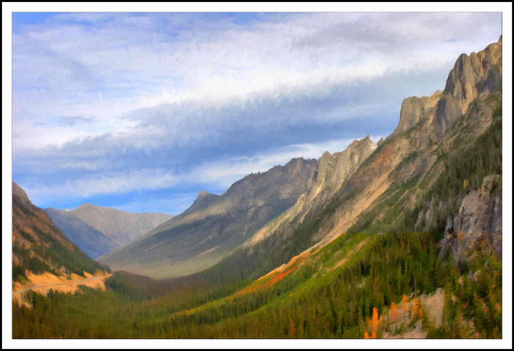
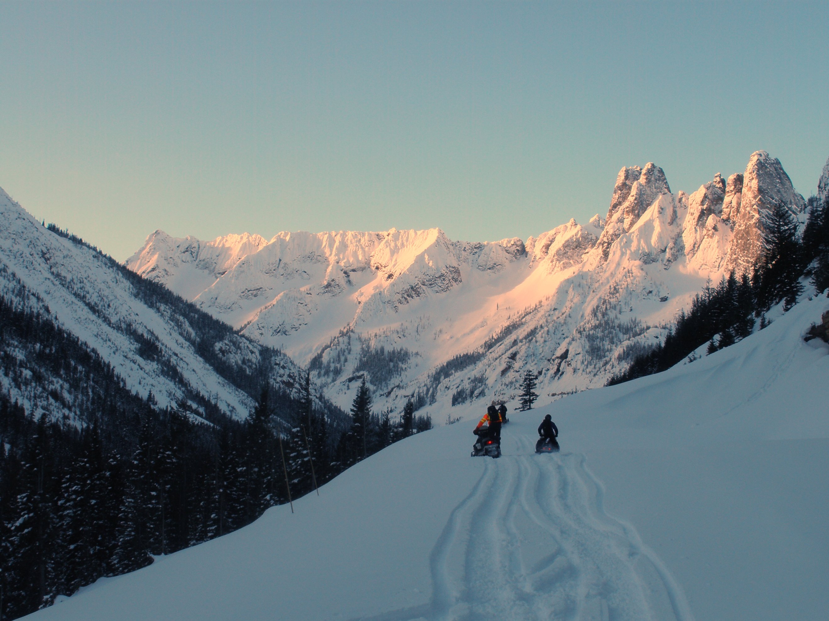
Early Winters Mt

Mountain Sunset

Trees and sky

inspire spires

Washington Explorations

Washington Explorations

sunset lake ann. maple pass. north cascades.

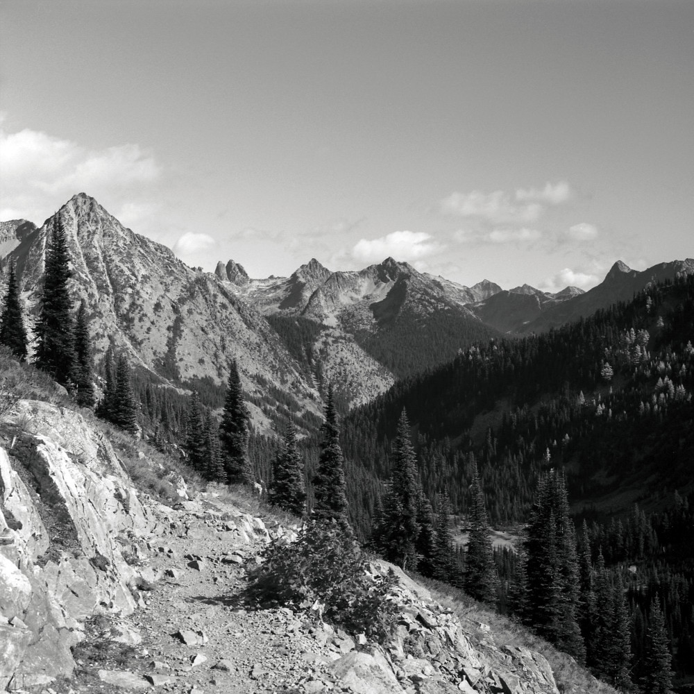
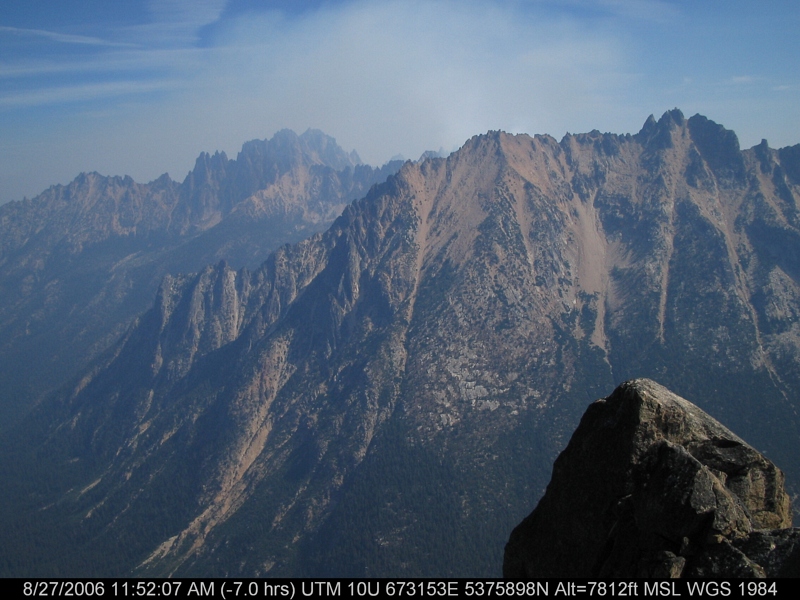
Black Peak climb (Photo # 1)

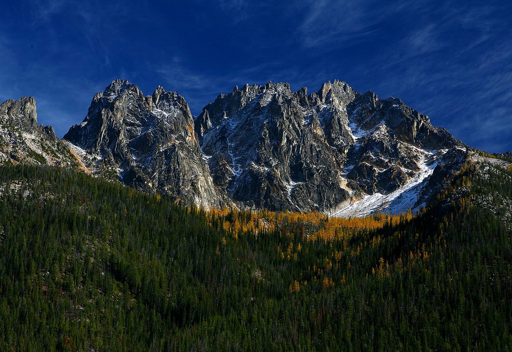
First Light On The South Early Winters Spire

Blue Lake, tamarack, Cutthroat Pk
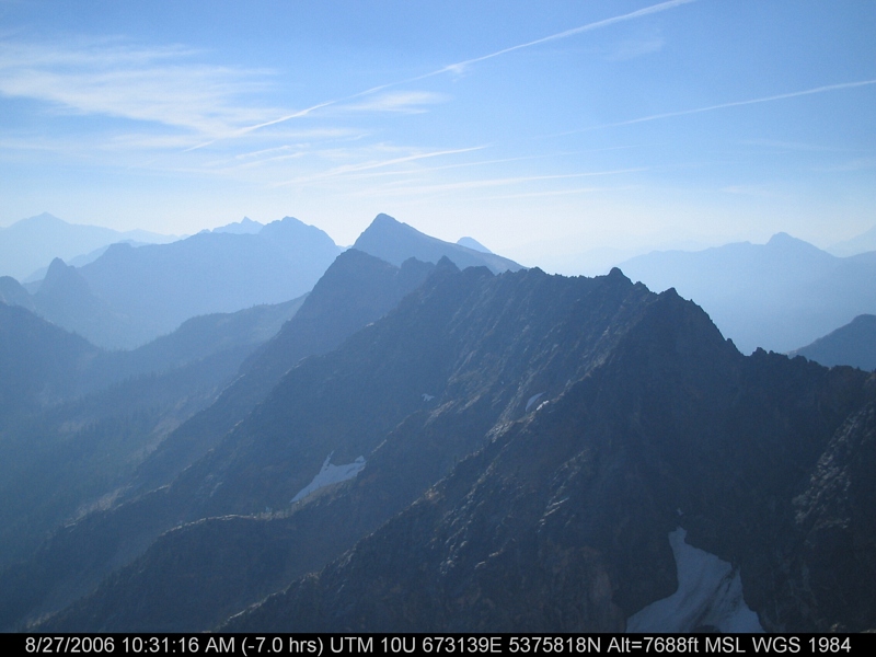
The view from Liberty Bell 3 towards Liberty Bell 1 and 2

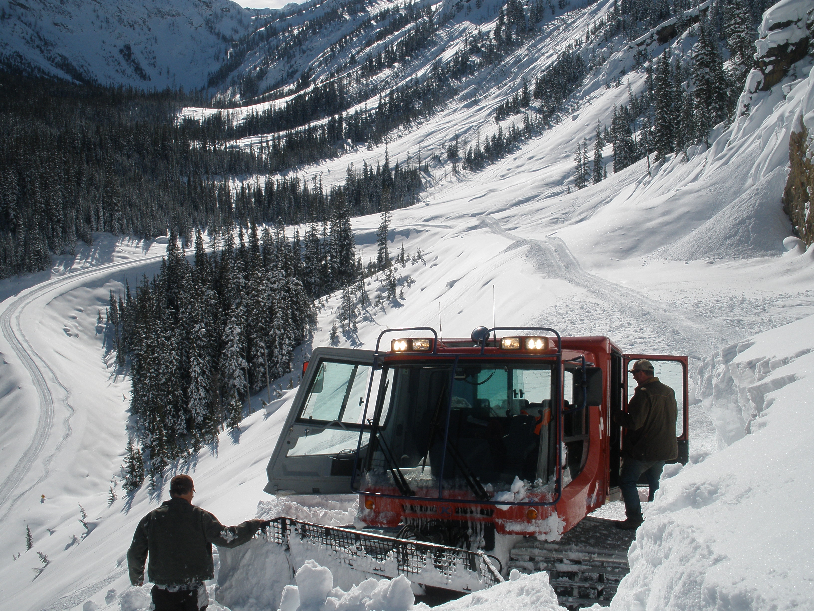
Avalanches on SR 20 below Liberty Bell

Avalanches on SR 20 below Liberty Bell
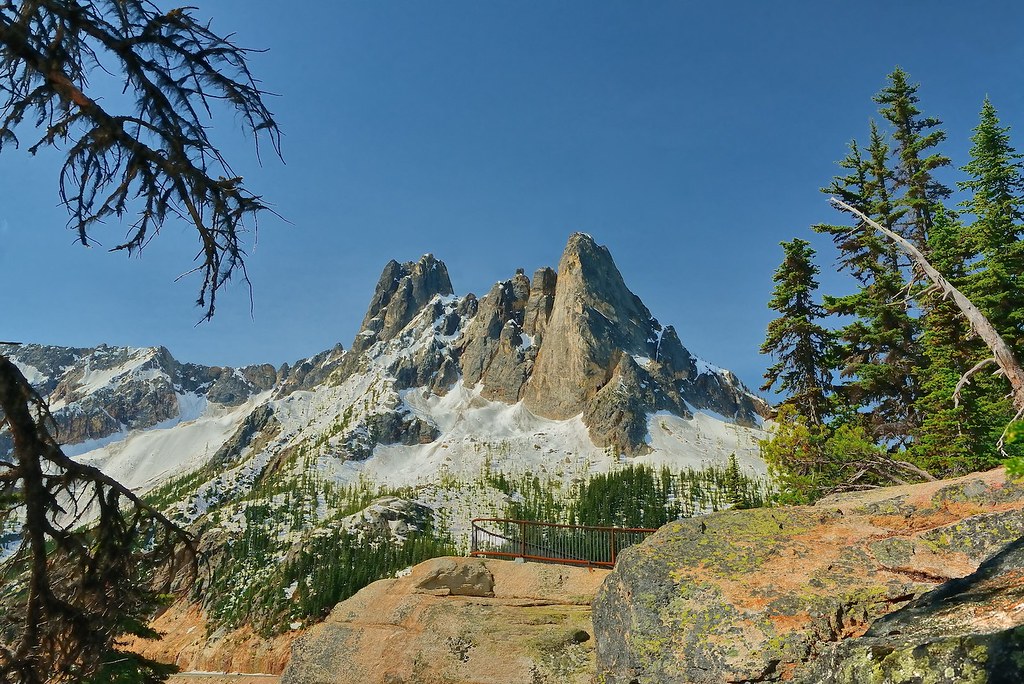
Liberty Bell Peaks
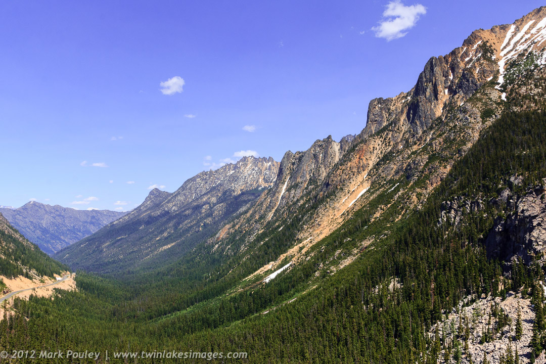
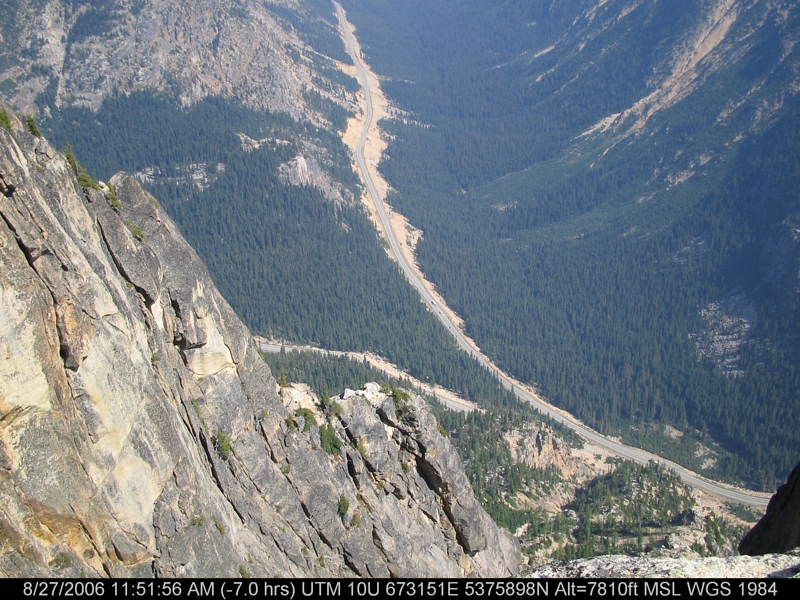
North Cascade Highway
Washington Pass, North Cascades National Park

Snow and avalanches bury the highway in the Liberty Bell avalanche zone
Washington Pass 01 - Painting

Tamarack reflected Blue Lake
The view from here is quite nice

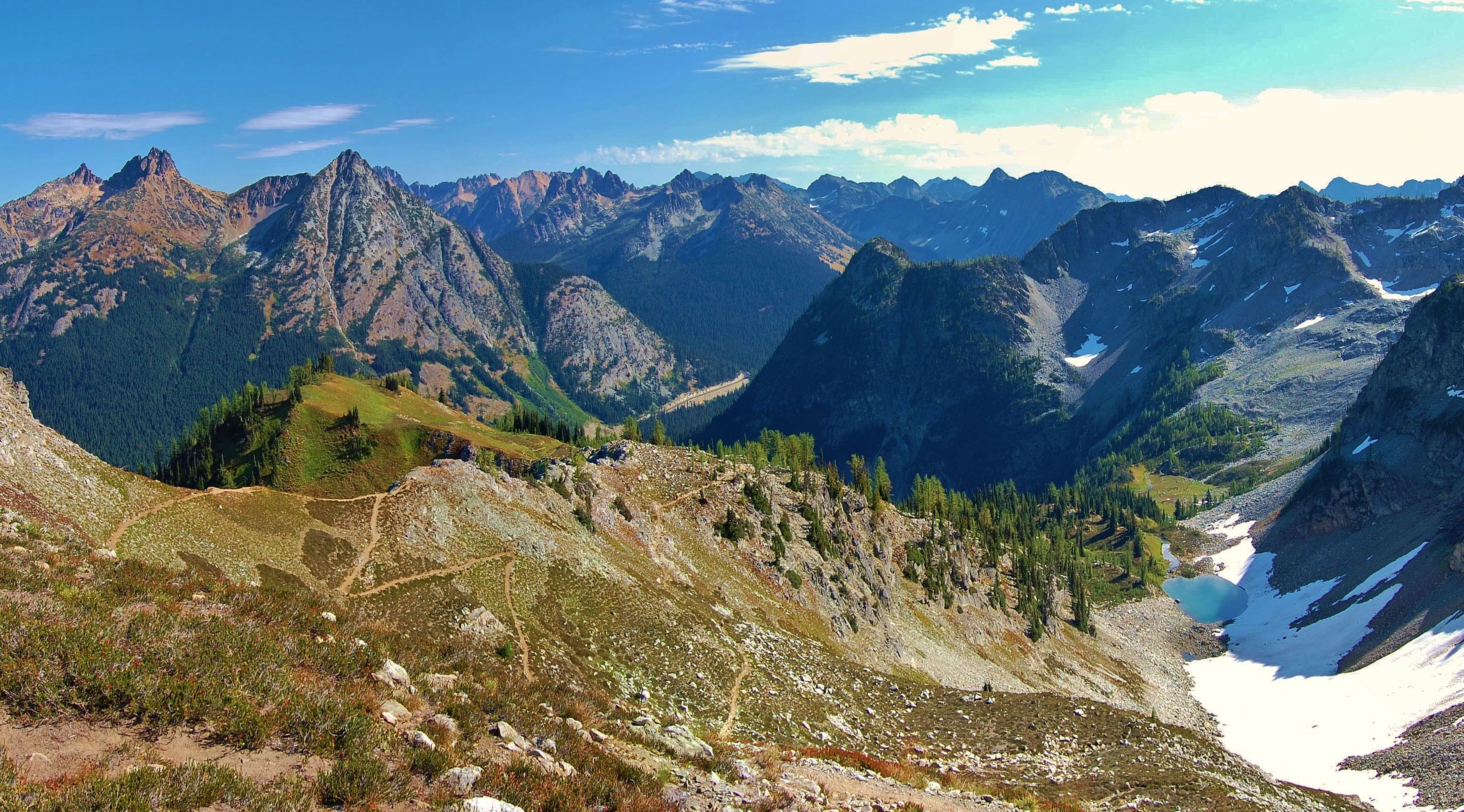
View from Maple Pass
Rainy Lake Basin
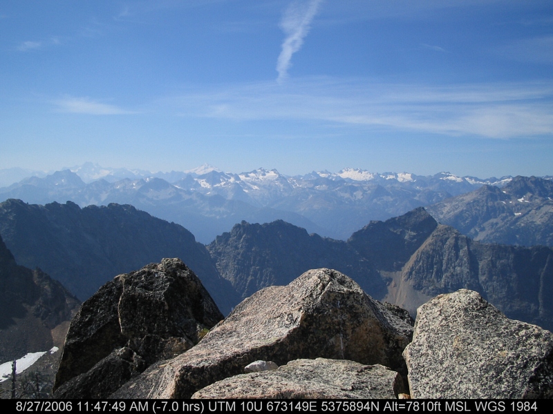
IMG_3484.JPG
North Cascades Highway - Snow 20 feet deep at Cutthroat Ridge avalanche chutes 6, 7, 8

A nice view of the hairpin curve from the Liberty Bell avalanche zone
IMG_3488.JPG

Fuck Your Light2.jpg
IMG_3453.JPG
IMG_3487.JPG
IMG_3455.JPG
McAlester Mountain, Washington 美国的地图
查询其他地方的日出日落时间
附近地点
Rainbow Ridge East, Washington 美国
Hock Mountain, Washington 美国
Twisp Mountain, Washington 美国
Crescent Mountain, Washington 美国
Stehekin, WA 美国Rainbow Falls Picnic Area
Lincoln Butte, Washington 美国
Purple Mountain, Washington 美国
Bowan Mountain, Washington 美国
Stiletto Peak, Washington, 美国
美国华盛顿斯特希金
Boulder Butte, Washington 美国
1 Lakeshore Trail, Stehekin, WA 美国
Gilbert Mountain, Washington 美国
Early Winters Spires South, Washington 美国
Splawn Mountain, Washington 美国
Washington Pass, Washington 美国
Kangaroo Ridge, Washington 美国
Winthrop, WA 美国South Creek Campground
Hinkhouse Peak, Washington 美国
Winthrop, WA 美国Rainy Pass Trailhead
最近搜索
- Lampiasi St, Sarasota, FL, USA的日出日落时间表
- Japan, 〒- Toyama, Kubomotomachi, 12−31 APAガーデンコート稲荷的日出日落时间表
- 台湾宜兰县大同乡加罗湖的日出日落时间表
- 日本〒- 爱媛县今治市 Sekizenoge大下港的日出日落时间表
- -1 Sekizenōge, Imabari, Ehime -日本Oge port Ferry Terminal的日出日落时间表
- 阿根廷布宜諾斯艾利斯聖特爾莫區的日出日落时间表
- Congressional Dr, Stevensville, MD 美国的日出日落时间表
- Papingo 04希腊的日出日落时间表
- Kranto 7-oji g. 8"N, Kaunas, 立陶宛Pagonija rock的日出日落时间表
- Co Rd 87, Jamestown, CO 美国的日出日落时间表