Giles Connection Rd, Bonners Ferry, ID 美国的日出日落时间表
Location: 美国 > 爱达荷州 > 邦纳斯费里 >
时区:
America/Los_Angeles
当地时间:
2024-05-04 19:01:18
经度:
-116.3171035
纬度:
48.8448304
今天日出时间:
05:16:18 AM
今天日落时间:
08:07:29 PM
今天日照时常:
14h 51m 11s
明天日出时间:
05:14:44 AM
明天日落时间:
08:08:54 PM
明天日照时常:
14h 54m 10s
显示所有日期
| 日期 | 日出 | 日落 | 日照时常 |
|---|---|---|---|
| 2024年01月01日 | 07:38:27 AM | 03:59:49 PM | 8h 21m 22s |
| 2024年01月02日 | 07:38:21 AM | 04:00:51 PM | 8h 22m 30s |
| 2024年01月03日 | 07:38:12 AM | 04:01:54 PM | 8h 23m 42s |
| 2024年01月04日 | 07:38:01 AM | 04:03:00 PM | 8h 24m 59s |
| 2024年01月05日 | 07:37:46 AM | 04:04:08 PM | 8h 26m 22s |
| 2024年01月06日 | 07:37:28 AM | 04:05:19 PM | 8h 27m 51s |
| 2024年01月07日 | 07:37:07 AM | 04:06:31 PM | 8h 29m 24s |
| 2024年01月08日 | 07:36:43 AM | 04:07:45 PM | 8h 31m 2s |
| 2024年01月09日 | 07:36:17 AM | 04:09:00 PM | 8h 32m 43s |
| 2024年01月10日 | 07:35:47 AM | 04:10:18 PM | 8h 34m 31s |
| 2024年01月11日 | 07:35:15 AM | 04:11:37 PM | 8h 36m 22s |
| 2024年01月12日 | 07:34:40 AM | 04:12:58 PM | 8h 38m 18s |
| 2024年01月13日 | 07:34:02 AM | 04:14:20 PM | 8h 40m 18s |
| 2024年01月14日 | 07:33:21 AM | 04:15:44 PM | 8h 42m 23s |
| 2024年01月15日 | 07:32:38 AM | 04:17:09 PM | 8h 44m 31s |
| 2024年01月16日 | 07:31:52 AM | 04:18:36 PM | 8h 46m 44s |
| 2024年01月17日 | 07:31:03 AM | 04:20:04 PM | 8h 49m 1s |
| 2024年01月18日 | 07:30:12 AM | 04:21:33 PM | 8h 51m 21s |
| 2024年01月19日 | 07:29:18 AM | 04:23:02 PM | 8h 53m 44s |
| 2024年01月20日 | 07:28:22 AM | 04:24:33 PM | 8h 56m 11s |
| 2024年01月21日 | 07:27:23 AM | 04:26:05 PM | 8h 58m 42s |
| 2024年01月22日 | 07:26:22 AM | 04:27:38 PM | 9h 1m 16s |
| 2024年01月23日 | 07:25:18 AM | 04:29:12 PM | 9h 3m 54s |
| 2024年01月24日 | 07:24:12 AM | 04:30:46 PM | 9h 6m 34s |
| 2024年01月25日 | 07:23:04 AM | 04:32:21 PM | 9h 9m 17s |
| 2024年01月26日 | 07:21:54 AM | 04:33:57 PM | 9h 12m 3s |
| 2024年01月27日 | 07:20:41 AM | 04:35:33 PM | 9h 14m 52s |
| 2024年01月28日 | 07:19:27 AM | 04:37:10 PM | 9h 17m 43s |
| 2024年01月29日 | 07:18:10 AM | 04:38:47 PM | 9h 20m 37s |
| 2024年01月30日 | 07:16:51 AM | 04:40:24 PM | 9h 23m 33s |
| 2024年01月31日 | 07:15:30 AM | 04:42:02 PM | 9h 26m 32s |
| 2024年02月01日 | 07:14:08 AM | 04:43:40 PM | 9h 29m 32s |
| 2024年02月02日 | 07:12:43 AM | 04:45:19 PM | 9h 32m 36s |
| 2024年02月03日 | 07:11:17 AM | 04:46:57 PM | 9h 35m 40s |
| 2024年02月04日 | 07:09:48 AM | 04:48:36 PM | 9h 38m 48s |
| 2024年02月05日 | 07:08:18 AM | 04:50:15 PM | 9h 41m 57s |
| 2024年02月06日 | 07:06:47 AM | 04:51:54 PM | 9h 45m 7s |
| 2024年02月07日 | 07:05:13 AM | 04:53:34 PM | 9h 48m 21s |
| 2024年02月08日 | 07:03:39 AM | 04:55:13 PM | 9h 51m 34s |
| 2024年02月09日 | 07:02:02 AM | 04:56:52 PM | 9h 54m 50s |
| 2024年02月10日 | 07:00:24 AM | 04:58:31 PM | 9h 58m 7s |
| 2024年02月11日 | 06:58:45 AM | 05:00:10 PM | 10h 1m 25s |
| 2024年02月12日 | 06:57:04 AM | 05:01:49 PM | 10h 4m 45s |
| 2024年02月13日 | 06:55:22 AM | 05:03:28 PM | 10h 8m 6s |
| 2024年02月14日 | 06:53:38 AM | 05:05:06 PM | 10h 11m 28s |
| 2024年02月15日 | 06:51:53 AM | 05:06:45 PM | 10h 14m 52s |
| 2024年02月16日 | 06:50:07 AM | 05:08:23 PM | 10h 18m 16s |
| 2024年02月17日 | 06:48:20 AM | 05:10:01 PM | 10h 21m 41s |
| 2024年02月18日 | 06:46:31 AM | 05:11:39 PM | 10h 25m 8s |
| 2024年02月19日 | 06:44:42 AM | 05:13:17 PM | 10h 28m 35s |
| 2024年02月20日 | 06:42:51 AM | 05:14:55 PM | 10h 32m 4s |
| 2024年02月21日 | 06:40:59 AM | 05:16:32 PM | 10h 35m 33s |
| 2024年02月22日 | 06:39:07 AM | 05:18:09 PM | 10h 39m 2s |
| 2024年02月23日 | 06:37:13 AM | 05:19:46 PM | 10h 42m 33s |
| 2024年02月24日 | 06:35:18 AM | 05:21:22 PM | 10h 46m 4s |
| 2024年02月25日 | 06:33:23 AM | 05:22:58 PM | 10h 49m 35s |
| 2024年02月26日 | 06:31:26 AM | 05:24:34 PM | 10h 53m 8s |
| 2024年02月27日 | 06:29:29 AM | 05:26:10 PM | 10h 56m 41s |
| 2024年02月28日 | 06:27:31 AM | 05:27:45 PM | 11h 0m 14s |
| 2024年02月29日 | 06:25:33 AM | 05:29:20 PM | 11h 3m 47s |
| 2024年03月01日 | 06:23:33 AM | 05:30:55 PM | 11h 7m 22s |
| 2024年03月02日 | 06:21:33 AM | 05:32:30 PM | 11h 10m 57s |
| 2024年03月03日 | 06:19:33 AM | 05:34:04 PM | 11h 14m 31s |
| 2024年03月04日 | 06:17:31 AM | 05:35:38 PM | 11h 18m 7s |
| 2024年03月05日 | 06:15:29 AM | 05:37:12 PM | 11h 21m 43s |
| 2024年03月06日 | 06:13:27 AM | 05:38:45 PM | 11h 25m 18s |
| 2024年03月07日 | 06:11:24 AM | 05:40:19 PM | 11h 28m 55s |
| 2024年03月08日 | 06:09:21 AM | 05:41:52 PM | 11h 32m 31s |
| 2024年03月09日 | 06:07:17 AM | 05:43:24 PM | 11h 36m 7s |
| 2024年03月10日 | 07:05:18 AM | 06:44:53 PM | 11h 39m 35s |
| 2024年03月11日 | 07:03:14 AM | 06:46:25 PM | 11h 43m 11s |
| 2024年03月12日 | 07:01:09 AM | 06:47:57 PM | 11h 46m 48s |
| 2024年03月13日 | 06:59:04 AM | 06:49:29 PM | 11h 50m 25s |
| 2024年03月14日 | 06:56:58 AM | 06:51:01 PM | 11h 54m 3s |
| 2024年03月15日 | 06:54:53 AM | 06:52:32 PM | 11h 57m 39s |
| 2024年03月16日 | 06:52:47 AM | 06:54:03 PM | 12h 1m 16s |
| 2024年03月17日 | 06:50:41 AM | 06:55:35 PM | 12h 4m 54s |
| 2024年03月18日 | 06:48:35 AM | 06:57:06 PM | 12h 8m 31s |
| 2024年03月19日 | 06:46:28 AM | 06:58:36 PM | 12h 12m 8s |
| 2024年03月20日 | 06:44:22 AM | 07:00:07 PM | 12h 15m 45s |
| 2024年03月21日 | 06:42:16 AM | 07:01:37 PM | 12h 19m 21s |
| 2024年03月22日 | 06:40:09 AM | 07:03:08 PM | 12h 22m 59s |
| 2024年03月23日 | 06:38:03 AM | 07:04:38 PM | 12h 26m 35s |
| 2024年03月24日 | 06:35:57 AM | 07:06:08 PM | 12h 30m 11s |
| 2024年03月25日 | 06:33:50 AM | 07:07:38 PM | 12h 33m 48s |
| 2024年03月26日 | 06:31:44 AM | 07:09:08 PM | 12h 37m 24s |
| 2024年03月27日 | 06:29:38 AM | 07:10:38 PM | 12h 41m 0s |
| 2024年03月28日 | 06:27:32 AM | 07:12:08 PM | 12h 44m 36s |
| 2024年03月29日 | 06:25:27 AM | 07:13:38 PM | 12h 48m 11s |
| 2024年03月30日 | 06:23:21 AM | 07:15:07 PM | 12h 51m 46s |
| 2024年03月31日 | 06:21:16 AM | 07:16:37 PM | 12h 55m 21s |
| 2024年04月01日 | 06:19:11 AM | 07:18:07 PM | 12h 58m 56s |
| 2024年04月02日 | 06:17:06 AM | 07:19:36 PM | 13h 2m 30s |
| 2024年04月03日 | 06:15:02 AM | 07:21:06 PM | 13h 6m 4s |
| 2024年04月04日 | 06:12:58 AM | 07:22:35 PM | 13h 9m 37s |
| 2024年04月05日 | 06:10:55 AM | 07:24:05 PM | 13h 13m 10s |
| 2024年04月06日 | 06:08:52 AM | 07:25:34 PM | 13h 16m 42s |
| 2024年04月07日 | 06:06:50 AM | 07:27:04 PM | 13h 20m 14s |
| 2024年04月08日 | 06:04:48 AM | 07:28:33 PM | 13h 23m 45s |
| 2024年04月09日 | 06:02:46 AM | 07:30:03 PM | 13h 27m 17s |
| 2024年04月10日 | 06:00:45 AM | 07:31:32 PM | 13h 30m 47s |
| 2024年04月11日 | 05:58:45 AM | 07:33:01 PM | 13h 34m 16s |
| 2024年04月12日 | 05:56:46 AM | 07:34:31 PM | 13h 37m 45s |
| 2024年04月13日 | 05:54:47 AM | 07:36:00 PM | 13h 41m 13s |
| 2024年04月14日 | 05:52:49 AM | 07:37:30 PM | 13h 44m 41s |
| 2024年04月15日 | 05:50:51 AM | 07:38:59 PM | 13h 48m 8s |
| 2024年04月16日 | 05:48:55 AM | 07:40:28 PM | 13h 51m 33s |
| 2024年04月17日 | 05:46:59 AM | 07:41:58 PM | 13h 54m 59s |
| 2024年04月18日 | 05:45:04 AM | 07:43:27 PM | 13h 58m 23s |
| 2024年04月19日 | 05:43:10 AM | 07:44:56 PM | 14h 1m 46s |
| 2024年04月20日 | 05:41:17 AM | 07:46:25 PM | 14h 5m 8s |
| 2024年04月21日 | 05:39:25 AM | 07:47:54 PM | 14h 8m 29s |
| 2024年04月22日 | 05:37:34 AM | 07:49:23 PM | 14h 11m 49s |
| 2024年04月23日 | 05:35:44 AM | 07:50:52 PM | 14h 15m 8s |
| 2024年04月24日 | 05:33:55 AM | 07:52:21 PM | 14h 18m 26s |
| 2024年04月25日 | 05:32:07 AM | 07:53:49 PM | 14h 21m 42s |
| 2024年04月26日 | 05:30:20 AM | 07:55:18 PM | 14h 24m 58s |
| 2024年04月27日 | 05:28:35 AM | 07:56:46 PM | 14h 28m 11s |
| 2024年04月28日 | 05:26:50 AM | 07:58:14 PM | 14h 31m 24s |
| 2024年04月29日 | 05:25:08 AM | 07:59:42 PM | 14h 34m 34s |
| 2024年04月30日 | 05:23:26 AM | 08:01:09 PM | 14h 37m 43s |
| 2024年05月01日 | 05:21:46 AM | 08:02:37 PM | 14h 40m 51s |
| 2024年05月02日 | 05:20:07 AM | 08:04:04 PM | 14h 43m 57s |
| 2024年05月03日 | 05:18:30 AM | 08:05:30 PM | 14h 47m 0s |
| 2024年05月04日 | 05:16:54 AM | 08:06:56 PM | 14h 50m 2s |
| 2024年05月05日 | 05:15:19 AM | 08:08:22 PM | 14h 53m 3s |
| 2024年05月06日 | 05:13:47 AM | 08:09:48 PM | 14h 56m 1s |
| 2024年05月07日 | 05:12:15 AM | 08:11:12 PM | 14h 58m 57s |
| 2024年05月08日 | 05:10:46 AM | 08:12:37 PM | 15h 1m 51s |
| 2024年05月09日 | 05:09:18 AM | 08:14:01 PM | 15h 4m 43s |
| 2024年05月10日 | 05:07:52 AM | 08:15:24 PM | 15h 7m 32s |
| 2024年05月11日 | 05:06:28 AM | 08:16:46 PM | 15h 10m 18s |
| 2024年05月12日 | 05:05:05 AM | 08:18:08 PM | 15h 13m 3s |
| 2024年05月13日 | 05:03:45 AM | 08:19:29 PM | 15h 15m 44s |
| 2024年05月14日 | 05:02:26 AM | 08:20:50 PM | 15h 18m 24s |
| 2024年05月15日 | 05:01:10 AM | 08:22:09 PM | 15h 20m 59s |
| 2024年05月16日 | 04:59:55 AM | 08:23:28 PM | 15h 23m 33s |
| 2024年05月17日 | 04:58:42 AM | 08:24:46 PM | 15h 26m 4s |
| 2024年05月18日 | 04:57:32 AM | 08:26:02 PM | 15h 28m 30s |
| 2024年05月19日 | 04:56:24 AM | 08:27:18 PM | 15h 30m 54s |
| 2024年05月20日 | 04:55:17 AM | 08:28:32 PM | 15h 33m 15s |
| 2024年05月21日 | 04:54:13 AM | 08:29:46 PM | 15h 35m 33s |
| 2024年05月22日 | 04:53:12 AM | 08:30:58 PM | 15h 37m 46s |
| 2024年05月23日 | 04:52:12 AM | 08:32:09 PM | 15h 39m 57s |
| 2024年05月24日 | 04:51:15 AM | 08:33:18 PM | 15h 42m 3s |
| 2024年05月25日 | 04:50:20 AM | 08:34:26 PM | 15h 44m 6s |
| 2024年05月26日 | 04:49:28 AM | 08:35:33 PM | 15h 46m 5s |
| 2024年05月27日 | 04:48:38 AM | 08:36:38 PM | 15h 48m 0s |
| 2024年05月28日 | 04:47:51 AM | 08:37:42 PM | 15h 49m 51s |
| 2024年05月29日 | 04:47:06 AM | 08:38:44 PM | 15h 51m 38s |
| 2024年05月30日 | 04:46:23 AM | 08:39:44 PM | 15h 53m 21s |
| 2024年05月31日 | 04:45:44 AM | 08:40:42 PM | 15h 54m 58s |
| 2024年06月01日 | 04:45:06 AM | 08:41:39 PM | 15h 56m 33s |
| 2024年06月02日 | 04:44:32 AM | 08:42:34 PM | 15h 58m 2s |
| 2024年06月03日 | 04:44:00 AM | 08:43:27 PM | 15h 59m 27s |
| 2024年06月04日 | 04:43:30 AM | 08:44:17 PM | 16h 0m 47s |
| 2024年06月05日 | 04:43:04 AM | 08:45:06 PM | 16h 2m 2s |
| 2024年06月06日 | 04:42:39 AM | 08:45:53 PM | 16h 3m 14s |
| 2024年06月07日 | 04:42:18 AM | 08:46:37 PM | 16h 4m 19s |
| 2024年06月08日 | 04:42:00 AM | 08:47:20 PM | 16h 5m 20s |
| 2024年06月09日 | 04:41:44 AM | 08:48:00 PM | 16h 6m 16s |
| 2024年06月10日 | 04:41:30 AM | 08:48:37 PM | 16h 7m 7s |
| 2024年06月11日 | 04:41:20 AM | 08:49:13 PM | 16h 7m 53s |
| 2024年06月12日 | 04:41:12 AM | 08:49:46 PM | 16h 8m 34s |
| 2024年06月13日 | 04:41:07 AM | 08:50:16 PM | 16h 9m 9s |
| 2024年06月14日 | 04:41:05 AM | 08:50:44 PM | 16h 9m 39s |
| 2024年06月15日 | 04:41:05 AM | 08:51:10 PM | 16h 10m 5s |
| 2024年06月16日 | 04:41:08 AM | 08:51:33 PM | 16h 10m 25s |
| 2024年06月17日 | 04:41:14 AM | 08:51:53 PM | 16h 10m 39s |
| 2024年06月18日 | 04:41:23 AM | 08:52:11 PM | 16h 10m 48s |
| 2024年06月19日 | 04:41:34 AM | 08:52:26 PM | 16h 10m 52s |
| 2024年06月20日 | 04:41:48 AM | 08:52:38 PM | 16h 10m 50s |
| 2024年06月21日 | 04:42:04 AM | 08:52:48 PM | 16h 10m 44s |
| 2024年06月22日 | 04:42:23 AM | 08:52:55 PM | 16h 10m 32s |
| 2024年06月23日 | 04:42:44 AM | 08:52:59 PM | 16h 10m 15s |
| 2024年06月24日 | 04:43:08 AM | 08:53:01 PM | 16h 9m 53s |
| 2024年06月25日 | 04:43:35 AM | 08:52:59 PM | 16h 9m 24s |
| 2024年06月26日 | 04:44:03 AM | 08:52:55 PM | 16h 8m 52s |
| 2024年06月27日 | 04:44:35 AM | 08:52:48 PM | 16h 8m 13s |
| 2024年06月28日 | 04:45:08 AM | 08:52:39 PM | 16h 7m 31s |
| 2024年06月29日 | 04:45:44 AM | 08:52:26 PM | 16h 6m 42s |
| 2024年06月30日 | 04:46:22 AM | 08:52:11 PM | 16h 5m 49s |
| 2024年07月01日 | 04:47:03 AM | 08:51:53 PM | 16h 4m 50s |
| 2024年07月02日 | 04:47:45 AM | 08:51:33 PM | 16h 3m 48s |
| 2024年07月03日 | 04:48:30 AM | 08:51:09 PM | 16h 2m 39s |
| 2024年07月04日 | 04:49:16 AM | 08:50:43 PM | 16h 1m 27s |
| 2024年07月05日 | 04:50:05 AM | 08:50:14 PM | 16h 0m 9s |
| 2024年07月06日 | 04:50:56 AM | 08:49:43 PM | 15h 58m 47s |
| 2024年07月07日 | 04:51:48 AM | 08:49:09 PM | 15h 57m 21s |
| 2024年07月08日 | 04:52:42 AM | 08:48:32 PM | 15h 55m 50s |
| 2024年07月09日 | 04:53:39 AM | 08:47:52 PM | 15h 54m 13s |
| 2024年07月10日 | 04:54:36 AM | 08:47:10 PM | 15h 52m 34s |
| 2024年07月11日 | 04:55:36 AM | 08:46:26 PM | 15h 50m 50s |
| 2024年07月12日 | 04:56:37 AM | 08:45:39 PM | 15h 49m 2s |
| 2024年07月13日 | 04:57:39 AM | 08:44:49 PM | 15h 47m 10s |
| 2024年07月14日 | 04:58:43 AM | 08:43:57 PM | 15h 45m 14s |
| 2024年07月15日 | 04:59:49 AM | 08:43:02 PM | 15h 43m 13s |
| 2024年07月16日 | 05:00:55 AM | 08:42:05 PM | 15h 41m 10s |
| 2024年07月17日 | 05:02:03 AM | 08:41:06 PM | 15h 39m 3s |
| 2024年07月18日 | 05:03:12 AM | 08:40:04 PM | 15h 36m 52s |
| 2024年07月19日 | 05:04:23 AM | 08:39:01 PM | 15h 34m 38s |
| 2024年07月20日 | 05:05:34 AM | 08:37:54 PM | 15h 32m 20s |
| 2024年07月21日 | 05:06:47 AM | 08:36:46 PM | 15h 29m 59s |
| 2024年07月22日 | 05:08:00 AM | 08:35:36 PM | 15h 27m 36s |
| 2024年07月23日 | 05:09:15 AM | 08:34:23 PM | 15h 25m 8s |
| 2024年07月24日 | 05:10:30 AM | 08:33:08 PM | 15h 22m 38s |
| 2024年07月25日 | 05:11:47 AM | 08:31:51 PM | 15h 20m 4s |
| 2024年07月26日 | 05:13:04 AM | 08:30:33 PM | 15h 17m 29s |
| 2024年07月27日 | 05:14:21 AM | 08:29:12 PM | 15h 14m 51s |
| 2024年07月28日 | 05:15:40 AM | 08:27:49 PM | 15h 12m 9s |
| 2024年07月29日 | 05:16:59 AM | 08:26:25 PM | 15h 9m 26s |
| 2024年07月30日 | 05:18:19 AM | 08:24:59 PM | 15h 6m 40s |
| 2024年07月31日 | 05:19:39 AM | 08:23:31 PM | 15h 3m 52s |
| 2024年08月01日 | 05:21:00 AM | 08:22:01 PM | 15h 1m 1s |
| 2024年08月02日 | 05:22:21 AM | 08:20:29 PM | 14h 58m 8s |
| 2024年08月03日 | 05:23:42 AM | 08:18:56 PM | 14h 55m 14s |
| 2024年08月04日 | 05:25:05 AM | 08:17:22 PM | 14h 52m 17s |
| 2024年08月05日 | 05:26:27 AM | 08:15:45 PM | 14h 49m 18s |
| 2024年08月06日 | 05:27:50 AM | 08:14:08 PM | 14h 46m 18s |
| 2024年08月07日 | 05:29:13 AM | 08:12:28 PM | 14h 43m 15s |
| 2024年08月08日 | 05:30:36 AM | 08:10:48 PM | 14h 40m 12s |
| 2024年08月09日 | 05:32:00 AM | 08:09:06 PM | 14h 37m 6s |
| 2024年08月10日 | 05:33:24 AM | 08:07:22 PM | 14h 33m 58s |
| 2024年08月11日 | 05:34:48 AM | 08:05:37 PM | 14h 30m 49s |
| 2024年08月12日 | 05:36:12 AM | 08:03:51 PM | 14h 27m 39s |
| 2024年08月13日 | 05:37:36 AM | 08:02:04 PM | 14h 24m 28s |
| 2024年08月14日 | 05:39:01 AM | 08:00:16 PM | 14h 21m 15s |
| 2024年08月15日 | 05:40:25 AM | 07:58:26 PM | 14h 18m 1s |
| 2024年08月16日 | 05:41:50 AM | 07:56:35 PM | 14h 14m 45s |
| 2024年08月17日 | 05:43:14 AM | 07:54:44 PM | 14h 11m 30s |
| 2024年08月18日 | 05:44:39 AM | 07:52:51 PM | 14h 8m 12s |
| 2024年08月19日 | 05:46:04 AM | 07:50:57 PM | 14h 4m 53s |
| 2024年08月20日 | 05:47:29 AM | 07:49:02 PM | 14h 1m 33s |
| 2024年08月21日 | 05:48:54 AM | 07:47:07 PM | 13h 58m 13s |
| 2024年08月22日 | 05:50:19 AM | 07:45:10 PM | 13h 54m 51s |
| 2024年08月23日 | 05:51:43 AM | 07:43:13 PM | 13h 51m 30s |
| 2024年08月24日 | 05:53:08 AM | 07:41:14 PM | 13h 48m 6s |
| 2024年08月25日 | 05:54:33 AM | 07:39:15 PM | 13h 44m 42s |
| 2024年08月26日 | 05:55:58 AM | 07:37:16 PM | 13h 41m 18s |
| 2024年08月27日 | 05:57:23 AM | 07:35:15 PM | 13h 37m 52s |
| 2024年08月28日 | 05:58:48 AM | 07:33:14 PM | 13h 34m 26s |
| 2024年08月29日 | 06:00:12 AM | 07:31:12 PM | 13h 31m 0s |
| 2024年08月30日 | 06:01:37 AM | 07:29:10 PM | 13h 27m 33s |
| 2024年08月31日 | 06:03:02 AM | 07:27:07 PM | 13h 24m 5s |
| 2024年09月01日 | 06:04:27 AM | 07:25:03 PM | 13h 20m 36s |
| 2024年09月02日 | 06:05:51 AM | 07:22:59 PM | 13h 17m 8s |
| 2024年09月03日 | 06:07:16 AM | 07:20:54 PM | 13h 13m 38s |
| 2024年09月04日 | 06:08:41 AM | 07:18:49 PM | 13h 10m 8s |
| 2024年09月05日 | 06:10:05 AM | 07:16:44 PM | 13h 6m 39s |
| 2024年09月06日 | 06:11:30 AM | 07:14:38 PM | 13h 3m 8s |
| 2024年09月07日 | 06:12:55 AM | 07:12:32 PM | 12h 59m 37s |
| 2024年09月08日 | 06:14:20 AM | 07:10:25 PM | 12h 56m 5s |
| 2024年09月09日 | 06:15:44 AM | 07:08:19 PM | 12h 52m 35s |
| 2024年09月10日 | 06:17:09 AM | 07:06:12 PM | 12h 49m 3s |
| 2024年09月11日 | 06:18:34 AM | 07:04:04 PM | 12h 45m 30s |
| 2024年09月12日 | 06:19:59 AM | 07:01:57 PM | 12h 41m 58s |
| 2024年09月13日 | 06:21:24 AM | 06:59:49 PM | 12h 38m 25s |
| 2024年09月14日 | 06:22:49 AM | 06:57:41 PM | 12h 34m 52s |
| 2024年09月15日 | 06:24:14 AM | 06:55:33 PM | 12h 31m 19s |
| 2024年09月16日 | 06:25:39 AM | 06:53:25 PM | 12h 27m 46s |
| 2024年09月17日 | 06:27:04 AM | 06:51:17 PM | 12h 24m 13s |
| 2024年09月18日 | 06:28:29 AM | 06:49:09 PM | 12h 20m 40s |
| 2024年09月19日 | 06:29:55 AM | 06:47:01 PM | 12h 17m 6s |
| 2024年09月20日 | 06:31:20 AM | 06:44:53 PM | 12h 13m 33s |
| 2024年09月21日 | 06:32:46 AM | 06:42:45 PM | 12h 9m 59s |
| 2024年09月22日 | 06:34:12 AM | 06:40:37 PM | 12h 6m 25s |
| 2024年09月23日 | 06:35:38 AM | 06:38:29 PM | 12h 2m 51s |
| 2024年09月24日 | 06:37:04 AM | 06:36:22 PM | 11h 59m 18s |
| 2024年09月25日 | 06:38:30 AM | 06:34:14 PM | 11h 55m 44s |
| 2024年09月26日 | 06:39:57 AM | 06:32:07 PM | 11h 52m 10s |
| 2024年09月27日 | 06:41:24 AM | 06:30:00 PM | 11h 48m 36s |
| 2024年09月28日 | 06:42:51 AM | 06:27:54 PM | 11h 45m 3s |
| 2024年09月29日 | 06:44:18 AM | 06:25:47 PM | 11h 41m 29s |
| 2024年09月30日 | 06:45:45 AM | 06:23:41 PM | 11h 37m 56s |
| 2024年10月01日 | 06:47:13 AM | 06:21:35 PM | 11h 34m 22s |
| 2024年10月02日 | 06:48:41 AM | 06:19:30 PM | 11h 30m 49s |
| 2024年10月03日 | 06:50:09 AM | 06:17:25 PM | 11h 27m 16s |
| 2024年10月04日 | 06:51:37 AM | 06:15:21 PM | 11h 23m 44s |
| 2024年10月05日 | 06:53:06 AM | 06:13:17 PM | 11h 20m 11s |
| 2024年10月06日 | 06:54:35 AM | 06:11:14 PM | 11h 16m 39s |
| 2024年10月07日 | 06:56:04 AM | 06:09:11 PM | 11h 13m 7s |
| 2024年10月08日 | 06:57:34 AM | 06:07:09 PM | 11h 9m 35s |
| 2024年10月09日 | 06:59:04 AM | 06:05:08 PM | 11h 6m 4s |
| 2024年10月10日 | 07:00:34 AM | 06:03:07 PM | 11h 2m 33s |
| 2024年10月11日 | 07:02:04 AM | 06:01:07 PM | 10h 59m 3s |
| 2024年10月12日 | 07:03:35 AM | 05:59:07 PM | 10h 55m 32s |
| 2024年10月13日 | 07:05:06 AM | 05:57:09 PM | 10h 52m 3s |
| 2024年10月14日 | 07:06:37 AM | 05:55:11 PM | 10h 48m 34s |
| 2024年10月15日 | 07:08:09 AM | 05:53:14 PM | 10h 45m 5s |
| 2024年10月16日 | 07:09:41 AM | 05:51:18 PM | 10h 41m 37s |
| 2024年10月17日 | 07:11:13 AM | 05:49:23 PM | 10h 38m 10s |
| 2024年10月18日 | 07:12:45 AM | 05:47:29 PM | 10h 34m 44s |
| 2024年10月19日 | 07:14:18 AM | 05:45:35 PM | 10h 31m 17s |
| 2024年10月20日 | 07:15:51 AM | 05:43:43 PM | 10h 27m 52s |
| 2024年10月21日 | 07:17:25 AM | 05:41:52 PM | 10h 24m 27s |
| 2024年10月22日 | 07:18:58 AM | 05:40:02 PM | 10h 21m 4s |
| 2024年10月23日 | 07:20:32 AM | 05:38:13 PM | 10h 17m 41s |
| 2024年10月24日 | 07:22:06 AM | 05:36:26 PM | 10h 14m 20s |
| 2024年10月25日 | 07:23:40 AM | 05:34:39 PM | 10h 10m 59s |
| 2024年10月26日 | 07:25:15 AM | 05:32:54 PM | 10h 7m 39s |
| 2024年10月27日 | 07:26:50 AM | 05:31:11 PM | 10h 4m 21s |
| 2024年10月28日 | 07:28:24 AM | 05:29:28 PM | 10h 1m 4s |
| 2024年10月29日 | 07:29:59 AM | 05:27:47 PM | 9h 57m 48s |
| 2024年10月30日 | 07:31:34 AM | 05:26:08 PM | 9h 54m 34s |
| 2024年10月31日 | 07:33:10 AM | 05:24:30 PM | 9h 51m 20s |
| 2024年11月01日 | 07:34:45 AM | 05:22:53 PM | 9h 48m 8s |
| 2024年11月02日 | 07:36:20 AM | 05:21:18 PM | 9h 44m 58s |
| 2024年11月03日 | 06:37:59 AM | 04:19:41 PM | 9h 41m 42s |
| 2024年11月04日 | 06:39:35 AM | 04:18:10 PM | 9h 38m 35s |
| 2024年11月05日 | 06:41:10 AM | 04:16:40 PM | 9h 35m 30s |
| 2024年11月06日 | 06:42:45 AM | 04:15:12 PM | 9h 32m 27s |
| 2024年11月07日 | 06:44:20 AM | 04:13:46 PM | 9h 29m 26s |
| 2024年11月08日 | 06:45:55 AM | 04:12:22 PM | 9h 26m 27s |
| 2024年11月09日 | 06:47:29 AM | 04:11:00 PM | 9h 23m 31s |
| 2024年11月10日 | 06:49:03 AM | 04:09:39 PM | 9h 20m 36s |
| 2024年11月11日 | 06:50:37 AM | 04:08:21 PM | 9h 17m 44s |
| 2024年11月12日 | 06:52:11 AM | 04:07:05 PM | 9h 14m 54s |
| 2024年11月13日 | 06:53:44 AM | 04:05:51 PM | 9h 12m 7s |
| 2024年11月14日 | 06:55:17 AM | 04:04:39 PM | 9h 9m 22s |
| 2024年11月15日 | 06:56:49 AM | 04:03:29 PM | 9h 6m 40s |
| 2024年11月16日 | 06:58:20 AM | 04:02:22 PM | 9h 4m 2s |
| 2024年11月17日 | 06:59:51 AM | 04:01:16 PM | 9h 1m 25s |
| 2024年11月18日 | 07:01:21 AM | 04:00:14 PM | 8h 58m 53s |
| 2024年11月19日 | 07:02:50 AM | 03:59:13 PM | 8h 56m 23s |
| 2024年11月20日 | 07:04:19 AM | 03:58:15 PM | 8h 53m 56s |
| 2024年11月21日 | 07:05:47 AM | 03:57:20 PM | 8h 51m 33s |
| 2024年11月22日 | 07:07:13 AM | 03:56:27 PM | 8h 49m 14s |
| 2024年11月23日 | 07:08:39 AM | 03:55:37 PM | 8h 46m 58s |
| 2024年11月24日 | 07:10:03 AM | 03:54:49 PM | 8h 44m 46s |
| 2024年11月25日 | 07:11:26 AM | 03:54:04 PM | 8h 42m 38s |
| 2024年11月26日 | 07:12:48 AM | 03:53:22 PM | 8h 40m 34s |
| 2024年11月27日 | 07:14:09 AM | 03:52:43 PM | 8h 38m 34s |
| 2024年11月28日 | 07:15:28 AM | 03:52:06 PM | 8h 36m 38s |
| 2024年11月29日 | 07:16:46 AM | 03:51:32 PM | 8h 34m 46s |
| 2024年11月30日 | 07:18:02 AM | 03:51:01 PM | 8h 32m 59s |
| 2024年12月01日 | 07:19:16 AM | 03:50:33 PM | 8h 31m 17s |
| 2024年12月02日 | 07:20:29 AM | 03:50:08 PM | 8h 29m 39s |
| 2024年12月03日 | 07:21:40 AM | 03:49:46 PM | 8h 28m 6s |
| 2024年12月04日 | 07:22:49 AM | 03:49:26 PM | 8h 26m 37s |
| 2024年12月05日 | 07:23:56 AM | 03:49:10 PM | 8h 25m 14s |
| 2024年12月06日 | 07:25:02 AM | 03:48:57 PM | 8h 23m 55s |
| 2024年12月07日 | 07:26:05 AM | 03:48:47 PM | 8h 22m 42s |
| 2024年12月08日 | 07:27:06 AM | 03:48:39 PM | 8h 21m 33s |
| 2024年12月09日 | 07:28:04 AM | 03:48:35 PM | 8h 20m 31s |
| 2024年12月10日 | 07:29:01 AM | 03:48:34 PM | 8h 19m 33s |
| 2024年12月11日 | 07:29:55 AM | 03:48:36 PM | 8h 18m 41s |
| 2024年12月12日 | 07:30:47 AM | 03:48:41 PM | 8h 17m 54s |
| 2024年12月13日 | 07:31:36 AM | 03:48:50 PM | 8h 17m 14s |
| 2024年12月14日 | 07:32:23 AM | 03:49:01 PM | 8h 16m 38s |
| 2024年12月15日 | 07:33:07 AM | 03:49:15 PM | 8h 16m 8s |
| 2024年12月16日 | 07:33:48 AM | 03:49:32 PM | 8h 15m 44s |
| 2024年12月17日 | 07:34:27 AM | 03:49:53 PM | 8h 15m 26s |
| 2024年12月18日 | 07:35:03 AM | 03:50:16 PM | 8h 15m 13s |
| 2024年12月19日 | 07:35:36 AM | 03:50:42 PM | 8h 15m 6s |
| 2024年12月20日 | 07:36:07 AM | 03:51:11 PM | 8h 15m 4s |
| 2024年12月21日 | 07:36:34 AM | 03:51:43 PM | 8h 15m 9s |
| 2024年12月22日 | 07:36:59 AM | 03:52:18 PM | 8h 15m 19s |
| 2024年12月23日 | 07:37:21 AM | 03:52:56 PM | 8h 15m 35s |
| 2024年12月24日 | 07:37:40 AM | 03:53:37 PM | 8h 15m 57s |
| 2024年12月25日 | 07:37:56 AM | 03:54:20 PM | 8h 16m 24s |
| 2024年12月26日 | 07:38:08 AM | 03:55:06 PM | 8h 16m 58s |
| 2024年12月27日 | 07:38:18 AM | 03:55:55 PM | 8h 17m 37s |
| 2024年12月28日 | 07:38:25 AM | 03:56:46 PM | 8h 18m 21s |
| 2024年12月29日 | 07:38:29 AM | 03:57:40 PM | 8h 19m 11s |
| 2024年12月30日 | 07:38:30 AM | 03:58:36 PM | 8h 20m 6s |
日出日落照片
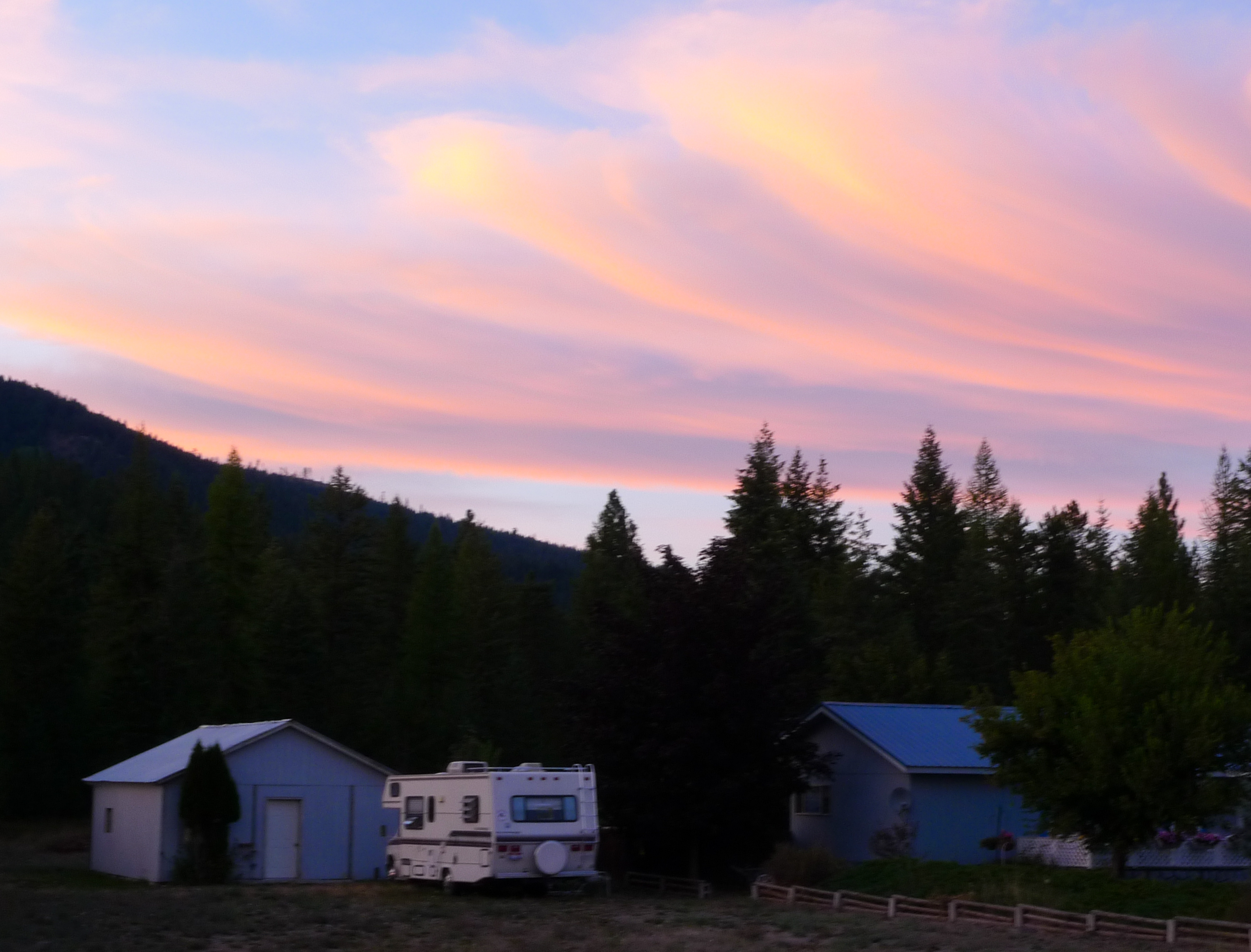
Sunset (Montana/Idaho border)

Late Afternoon at Copeland, Idaho
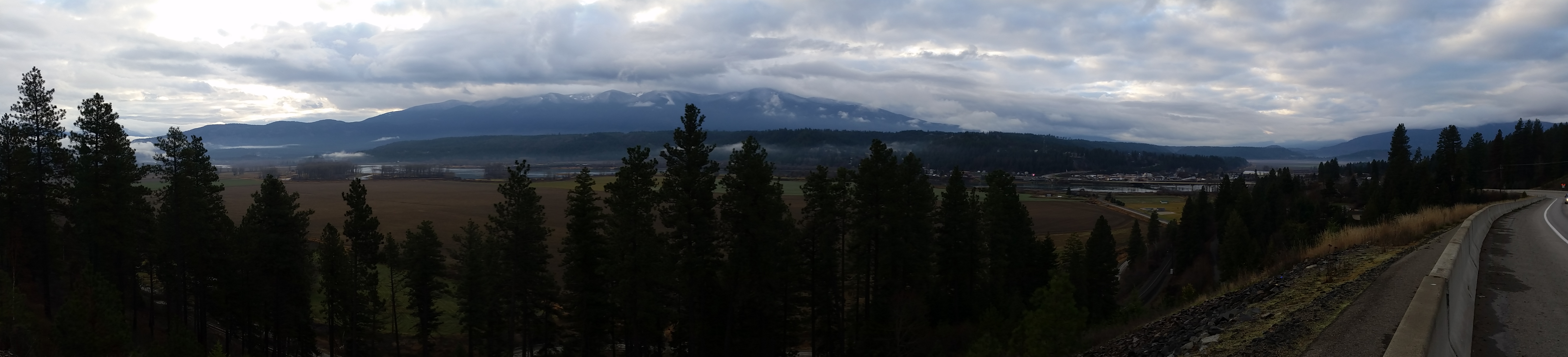
View of Bonner's Ferry
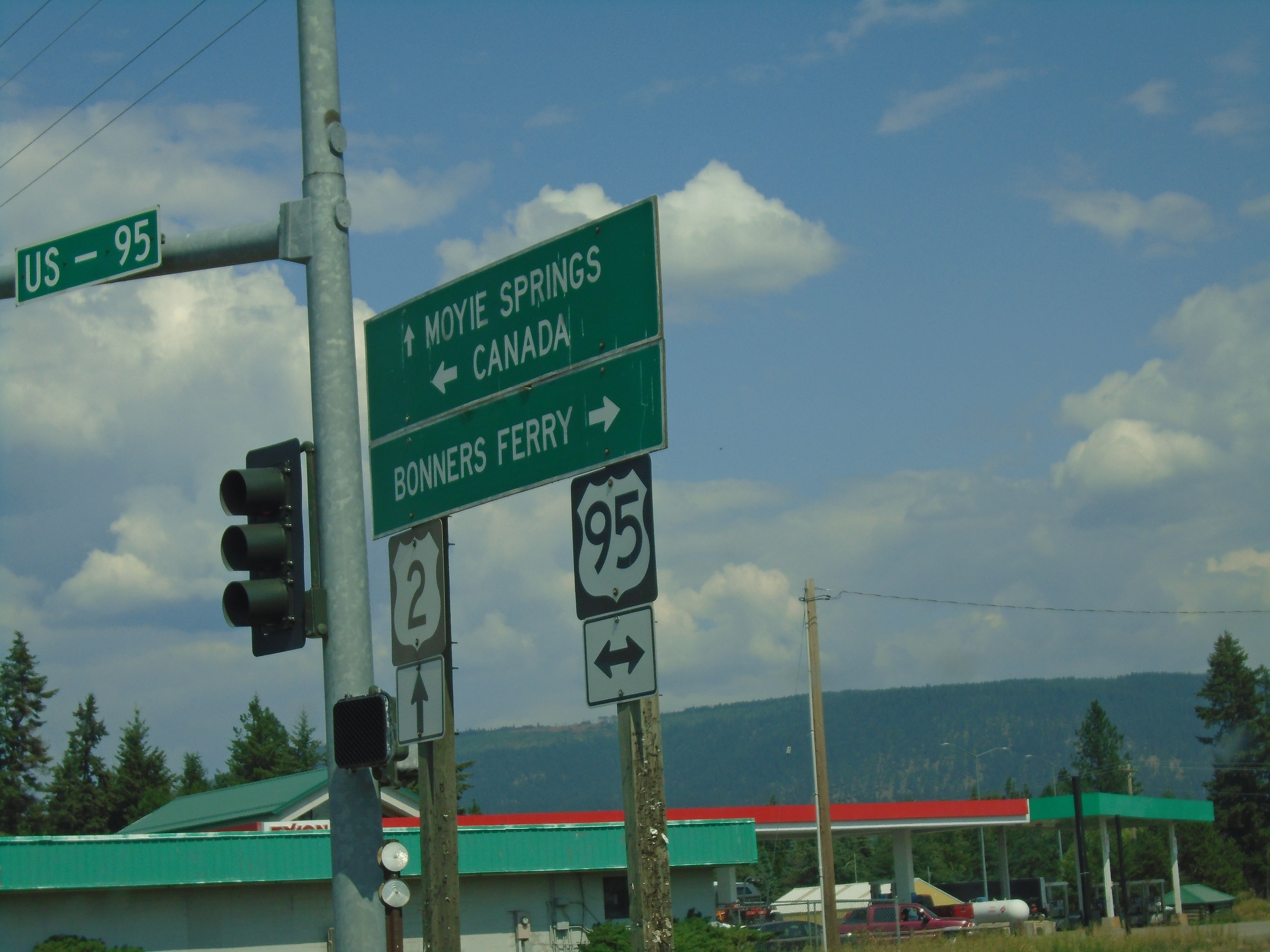
Sand Hill Road East at US-2 and US-95 Junction
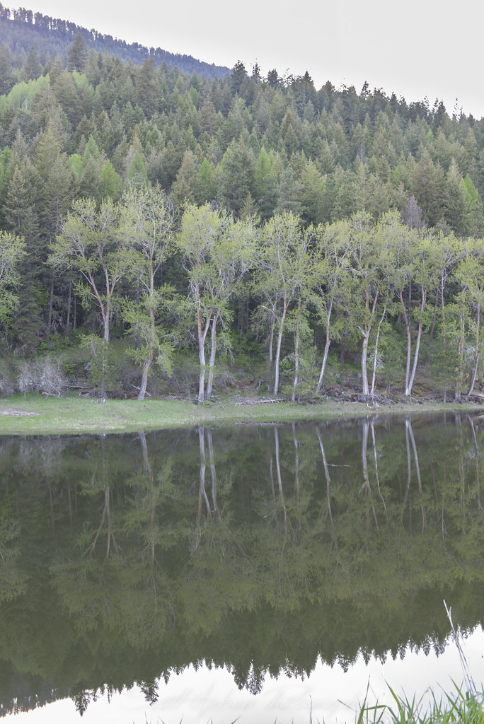
Kootenai River Cottonwood Reflection Near Cascade Creek
Kootenai River Cottonwood Snag Reflection Near Cascade Creek
Kootenai River Reflection Near Cascade Creek
Tree and Mountain Silhouette
IMG_8250.jpg
IMG_8248.jpg
IMG_8239.jpg

ID-1 North - Distance Marker

US-95 North/US-2 East approaching US-2
US-95 North/US-2 East - Distance Marker

Northern Idaho just below the BC border.

Windswept Tree Kootenai National Wildlife Refuge

Field and Farnum Peak, Copeland, Idaho
Kootenai National Wildlife Refuge

Road Trip North to Alaska, Canada and the U.S. Southwest 2014

Bonner's Ferry

Eileen Dam Powerhouse

Eileen dam Moyie Falls Idaho
Giles Connection Rd, Bonners Ferry, ID 美国的地图
查询其他地方的日出日落时间
附近地点
Fortyniner Ln, Bonners Ferry, ID 美国
Fawn Lane, Bonners Ferry, ID 美国Fawn Lane Farms
Templeman Lake Rd, Bonners Ferry, ID 美国
Meadow Creek Rd, Bonners Ferry, ID 美国
District 5 Rd, Bonners Ferry, ID 美国
Bane Ln, Bonners Ferry, ID 美国
Queen Mountain, Idaho 美国
US-95, Bonners Ferry, ID 美国
Farm to Market Rd, Bonners Ferry, ID 美国
Crow Street, Bonners Ferry, ID 美国
34 Arrowleaf Dr, Bonners Ferry, ID 美国
Kootenai St, Bonners Ferry, ID 美国Kootenai Street
Harvey Mountain, Idaho 美国
Madison St, Bonners Ferry, ID 美国
Madison St, Bonners Ferry, ID 美国Madison Street
美国爱达荷州邦纳斯费里
Quiet Pl, Idaho 美国Quiet Place
French Point Dr, Bonners Ferry, ID 美国
Robinson Lake, Idaho 美国
West Side Rd, Bonners Ferry, ID 美国Myrtle Falls Trail
最近搜索
- 美国加利福尼亚山景城的日出日落时间表
- Shuenhigashi, Shari, Shari District, Hokkaido -日本Road to the sky observatory的日出日落时间表
- 台湾高雄市鼓山區柴山大路31號海岸咖啡的日出日落时间表
- Estates Loop, Priest River, ID 美国的日出日落时间表
- Woodland Oak Pl, Thousand Oaks, CA 美国的日出日落时间表
- Sarangdanda, Nepal的日出日落时间表
- Nakanoshima, Shiogama, Miyagi -日本的日出日落时间表
- bp - 63 Rte de l'Observatoire, Bouzareah, 阿尔及利亚阿尔及尔天文台的日出日落时间表
- Crocker Dr, Vacaville, CA, USA的日出日落时间表
- 柬埔寨森莫诺隆HWHM+3X7Pu Ngaol Community Meeting Hall的日出日落时间表