Camino San Ignacio, Warner Springs, CA 美国的日出日落时间表
Location: 美国 > 加利福尼亚州 > 圣迭戈县 > 美国加利福尼亚州沃纳斯普林斯 >
时区:
America/Los_Angeles
当地时间:
2024-05-04 00:38:43
经度:
-116.627755
纬度:
33.2814059
今天日出时间:
05:54:32 AM
今天日落时间:
07:31:53 PM
今天日照时常:
13h 37m 21s
明天日出时间:
05:53:38 AM
明天日落时间:
07:32:38 PM
明天日照时常:
13h 39m 0s
显示所有日期
| 日期 | 日出 | 日落 | 日照时常 |
|---|---|---|---|
| 2024年01月01日 | 06:50:13 AM | 04:50:32 PM | 10h 0m 19s |
| 2024年01月02日 | 06:50:23 AM | 04:51:18 PM | 10h 0m 55s |
| 2024年01月03日 | 06:50:32 AM | 04:52:04 PM | 10h 1m 32s |
| 2024年01月04日 | 06:50:38 AM | 04:52:52 PM | 10h 2m 14s |
| 2024年01月05日 | 06:50:43 AM | 04:53:40 PM | 10h 2m 57s |
| 2024年01月06日 | 06:50:46 AM | 04:54:30 PM | 10h 3m 44s |
| 2024年01月07日 | 06:50:47 AM | 04:55:20 PM | 10h 4m 33s |
| 2024年01月08日 | 06:50:46 AM | 04:56:11 PM | 10h 5m 25s |
| 2024年01月09日 | 06:50:44 AM | 04:57:03 PM | 10h 6m 19s |
| 2024年01月10日 | 06:50:39 AM | 04:57:55 PM | 10h 7m 16s |
| 2024年01月11日 | 06:50:33 AM | 04:58:48 PM | 10h 8m 15s |
| 2024年01月12日 | 06:50:25 AM | 04:59:42 PM | 10h 9m 17s |
| 2024年01月13日 | 06:50:15 AM | 05:00:37 PM | 10h 10m 22s |
| 2024年01月14日 | 06:50:03 AM | 05:01:31 PM | 10h 11m 28s |
| 2024年01月15日 | 06:49:50 AM | 05:02:27 PM | 10h 12m 37s |
| 2024年01月16日 | 06:49:35 AM | 05:03:22 PM | 10h 13m 47s |
| 2024年01月17日 | 06:49:17 AM | 05:04:18 PM | 10h 15m 1s |
| 2024年01月18日 | 06:48:59 AM | 05:05:15 PM | 10h 16m 16s |
| 2024年01月19日 | 06:48:38 AM | 05:06:12 PM | 10h 17m 34s |
| 2024年01月20日 | 06:48:16 AM | 05:07:09 PM | 10h 18m 53s |
| 2024年01月21日 | 06:47:51 AM | 05:08:06 PM | 10h 20m 15s |
| 2024年01月22日 | 06:47:25 AM | 05:09:04 PM | 10h 21m 39s |
| 2024年01月23日 | 06:46:58 AM | 05:10:01 PM | 10h 23m 3s |
| 2024年01月24日 | 06:46:29 AM | 05:10:59 PM | 10h 24m 30s |
| 2024年01月25日 | 06:45:58 AM | 05:11:57 PM | 10h 25m 59s |
| 2024年01月26日 | 06:45:25 AM | 05:12:55 PM | 10h 27m 30s |
| 2024年01月27日 | 06:44:51 AM | 05:13:52 PM | 10h 29m 1s |
| 2024年01月28日 | 06:44:15 AM | 05:14:50 PM | 10h 30m 35s |
| 2024年01月29日 | 06:43:38 AM | 05:15:48 PM | 10h 32m 10s |
| 2024年01月30日 | 06:42:59 AM | 05:16:46 PM | 10h 33m 47s |
| 2024年01月31日 | 06:42:18 AM | 05:17:44 PM | 10h 35m 26s |
| 2024年02月01日 | 06:41:36 AM | 05:18:41 PM | 10h 37m 5s |
| 2024年02月02日 | 06:40:52 AM | 05:19:39 PM | 10h 38m 47s |
| 2024年02月03日 | 06:40:08 AM | 05:20:36 PM | 10h 40m 28s |
| 2024年02月04日 | 06:39:21 AM | 05:21:33 PM | 10h 42m 12s |
| 2024年02月05日 | 06:38:33 AM | 05:22:30 PM | 10h 43m 57s |
| 2024年02月06日 | 06:37:44 AM | 05:23:26 PM | 10h 45m 42s |
| 2024年02月07日 | 06:36:54 AM | 05:24:23 PM | 10h 47m 29s |
| 2024年02月08日 | 06:36:02 AM | 05:25:19 PM | 10h 49m 17s |
| 2024年02月09日 | 06:35:08 AM | 05:26:15 PM | 10h 51m 7s |
| 2024年02月10日 | 06:34:14 AM | 05:27:10 PM | 10h 52m 56s |
| 2024年02月11日 | 06:33:18 AM | 05:28:05 PM | 10h 54m 47s |
| 2024年02月12日 | 06:32:21 AM | 05:29:00 PM | 10h 56m 39s |
| 2024年02月13日 | 06:31:23 AM | 05:29:55 PM | 10h 58m 32s |
| 2024年02月14日 | 06:30:24 AM | 05:30:49 PM | 11h 0m 25s |
| 2024年02月15日 | 06:29:24 AM | 05:31:43 PM | 11h 2m 19s |
| 2024年02月16日 | 06:28:23 AM | 05:32:37 PM | 11h 4m 14s |
| 2024年02月17日 | 06:27:20 AM | 05:33:30 PM | 11h 6m 10s |
| 2024年02月18日 | 06:26:17 AM | 05:34:23 PM | 11h 8m 6s |
| 2024年02月19日 | 06:25:12 AM | 05:35:16 PM | 11h 10m 4s |
| 2024年02月20日 | 06:24:07 AM | 05:36:08 PM | 11h 12m 1s |
| 2024年02月21日 | 06:23:00 AM | 05:37:00 PM | 11h 14m 0s |
| 2024年02月22日 | 06:21:53 AM | 05:37:51 PM | 11h 15m 58s |
| 2024年02月23日 | 06:20:45 AM | 05:38:43 PM | 11h 17m 58s |
| 2024年02月24日 | 06:19:36 AM | 05:39:33 PM | 11h 19m 57s |
| 2024年02月25日 | 06:18:26 AM | 05:40:24 PM | 11h 21m 58s |
| 2024年02月26日 | 06:17:16 AM | 05:41:14 PM | 11h 23m 58s |
| 2024年02月27日 | 06:16:04 AM | 05:42:04 PM | 11h 26m 0s |
| 2024年02月28日 | 06:14:52 AM | 05:42:53 PM | 11h 28m 1s |
| 2024年02月29日 | 06:13:40 AM | 05:43:42 PM | 11h 30m 2s |
| 2024年03月01日 | 06:12:26 AM | 05:44:31 PM | 11h 32m 5s |
| 2024年03月02日 | 06:11:12 AM | 05:45:20 PM | 11h 34m 8s |
| 2024年03月03日 | 06:09:58 AM | 05:46:08 PM | 11h 36m 10s |
| 2024年03月04日 | 06:08:43 AM | 05:46:56 PM | 11h 38m 13s |
| 2024年03月05日 | 06:07:27 AM | 05:47:43 PM | 11h 40m 16s |
| 2024年03月06日 | 06:06:11 AM | 05:48:31 PM | 11h 42m 20s |
| 2024年03月07日 | 06:04:54 AM | 05:49:18 PM | 11h 44m 24s |
| 2024年03月08日 | 06:03:37 AM | 05:50:04 PM | 11h 46m 27s |
| 2024年03月09日 | 06:02:20 AM | 05:50:51 PM | 11h 48m 31s |
| 2024年03月10日 | 07:01:05 AM | 06:51:35 PM | 11h 50m 30s |
| 2024年03月11日 | 06:59:47 AM | 06:52:21 PM | 11h 52m 34s |
| 2024年03月12日 | 06:58:28 AM | 06:53:07 PM | 11h 54m 39s |
| 2024年03月13日 | 06:57:09 AM | 06:53:53 PM | 11h 56m 44s |
| 2024年03月14日 | 06:55:50 AM | 06:54:38 PM | 11h 58m 48s |
| 2024年03月15日 | 06:54:31 AM | 06:55:23 PM | 12h 0m 52s |
| 2024年03月16日 | 06:53:11 AM | 06:56:08 PM | 12h 2m 57s |
| 2024年03月17日 | 06:51:52 AM | 06:56:53 PM | 12h 5m 1s |
| 2024年03月18日 | 06:50:32 AM | 06:57:37 PM | 12h 7m 5s |
| 2024年03月19日 | 06:49:12 AM | 06:58:22 PM | 12h 9m 10s |
| 2024年03月20日 | 06:47:52 AM | 06:59:06 PM | 12h 11m 14s |
| 2024年03月21日 | 06:46:32 AM | 06:59:51 PM | 12h 13m 19s |
| 2024年03月22日 | 06:45:11 AM | 07:00:35 PM | 12h 15m 24s |
| 2024年03月23日 | 06:43:51 AM | 07:01:19 PM | 12h 17m 28s |
| 2024年03月24日 | 06:42:31 AM | 07:02:03 PM | 12h 19m 32s |
| 2024年03月25日 | 06:41:11 AM | 07:02:47 PM | 12h 21m 36s |
| 2024年03月26日 | 06:39:51 AM | 07:03:30 PM | 12h 23m 39s |
| 2024年03月27日 | 06:38:31 AM | 07:04:14 PM | 12h 25m 43s |
| 2024年03月28日 | 06:37:11 AM | 07:04:58 PM | 12h 27m 47s |
| 2024年03月29日 | 06:35:52 AM | 07:05:42 PM | 12h 29m 50s |
| 2024年03月30日 | 06:34:32 AM | 07:06:25 PM | 12h 31m 53s |
| 2024年03月31日 | 06:33:13 AM | 07:07:09 PM | 12h 33m 56s |
| 2024年04月01日 | 06:31:54 AM | 07:07:52 PM | 12h 35m 58s |
| 2024年04月02日 | 06:30:36 AM | 07:08:36 PM | 12h 38m 0s |
| 2024年04月03日 | 06:29:17 AM | 07:09:20 PM | 12h 40m 3s |
| 2024年04月04日 | 06:27:59 AM | 07:10:03 PM | 12h 42m 4s |
| 2024年04月05日 | 06:26:42 AM | 07:10:47 PM | 12h 44m 5s |
| 2024年04月06日 | 06:25:25 AM | 07:11:31 PM | 12h 46m 6s |
| 2024年04月07日 | 06:24:08 AM | 07:12:15 PM | 12h 48m 7s |
| 2024年04月08日 | 06:22:51 AM | 07:12:58 PM | 12h 50m 7s |
| 2024年04月09日 | 06:21:36 AM | 07:13:42 PM | 12h 52m 6s |
| 2024年04月10日 | 06:20:20 AM | 07:14:26 PM | 12h 54m 6s |
| 2024年04月11日 | 06:19:05 AM | 07:15:10 PM | 12h 56m 5s |
| 2024年04月12日 | 06:17:51 AM | 07:15:54 PM | 12h 58m 3s |
| 2024年04月13日 | 06:16:38 AM | 07:16:38 PM | 13h 0m 0s |
| 2024年04月14日 | 06:15:25 AM | 07:17:23 PM | 13h 1m 58s |
| 2024年04月15日 | 06:14:12 AM | 07:18:07 PM | 13h 3m 55s |
| 2024年04月16日 | 06:13:01 AM | 07:18:51 PM | 13h 5m 50s |
| 2024年04月17日 | 06:11:50 AM | 07:19:36 PM | 13h 7m 46s |
| 2024年04月18日 | 06:10:39 AM | 07:20:20 PM | 13h 9m 41s |
| 2024年04月19日 | 06:09:30 AM | 07:21:05 PM | 13h 11m 35s |
| 2024年04月20日 | 06:08:21 AM | 07:21:50 PM | 13h 13m 29s |
| 2024年04月21日 | 06:07:13 AM | 07:22:35 PM | 13h 15m 22s |
| 2024年04月22日 | 06:06:06 AM | 07:23:20 PM | 13h 17m 14s |
| 2024年04月23日 | 06:05:00 AM | 07:24:04 PM | 13h 19m 4s |
| 2024年04月24日 | 06:03:55 AM | 07:24:49 PM | 13h 20m 54s |
| 2024年04月25日 | 06:02:51 AM | 07:25:35 PM | 13h 22m 44s |
| 2024年04月26日 | 06:01:47 AM | 07:26:20 PM | 13h 24m 33s |
| 2024年04月27日 | 06:00:45 AM | 07:27:05 PM | 13h 26m 20s |
| 2024年04月28日 | 05:59:44 AM | 07:27:50 PM | 13h 28m 6s |
| 2024年04月29日 | 05:58:43 AM | 07:28:35 PM | 13h 29m 52s |
| 2024年04月30日 | 05:57:44 AM | 07:29:20 PM | 13h 31m 36s |
| 2024年05月01日 | 05:56:46 AM | 07:30:06 PM | 13h 33m 20s |
| 2024年05月02日 | 05:55:49 AM | 07:30:51 PM | 13h 35m 2s |
| 2024年05月03日 | 05:54:53 AM | 07:31:36 PM | 13h 36m 43s |
| 2024年05月04日 | 05:53:58 AM | 07:32:21 PM | 13h 38m 23s |
| 2024年05月05日 | 05:53:04 AM | 07:33:06 PM | 13h 40m 2s |
| 2024年05月06日 | 05:52:12 AM | 07:33:51 PM | 13h 41m 39s |
| 2024年05月07日 | 05:51:21 AM | 07:34:36 PM | 13h 43m 15s |
| 2024年05月08日 | 05:50:31 AM | 07:35:21 PM | 13h 44m 50s |
| 2024年05月09日 | 05:49:42 AM | 07:36:06 PM | 13h 46m 24s |
| 2024年05月10日 | 05:48:55 AM | 07:36:50 PM | 13h 47m 55s |
| 2024年05月11日 | 05:48:09 AM | 07:37:35 PM | 13h 49m 26s |
| 2024年05月12日 | 05:47:24 AM | 07:38:19 PM | 13h 50m 55s |
| 2024年05月13日 | 05:46:41 AM | 07:39:03 PM | 13h 52m 22s |
| 2024年05月14日 | 05:45:59 AM | 07:39:46 PM | 13h 53m 47s |
| 2024年05月15日 | 05:45:18 AM | 07:40:30 PM | 13h 55m 12s |
| 2024年05月16日 | 05:44:39 AM | 07:41:13 PM | 13h 56m 34s |
| 2024年05月17日 | 05:44:01 AM | 07:41:56 PM | 13h 57m 55s |
| 2024年05月18日 | 05:43:25 AM | 07:42:38 PM | 13h 59m 13s |
| 2024年05月19日 | 05:42:50 AM | 07:43:20 PM | 14h 0m 30s |
| 2024年05月20日 | 05:42:17 AM | 07:44:02 PM | 14h 1m 45s |
| 2024年05月21日 | 05:41:45 AM | 07:44:43 PM | 14h 2m 58s |
| 2024年05月22日 | 05:41:15 AM | 07:45:24 PM | 14h 4m 9s |
| 2024年05月23日 | 05:40:46 AM | 07:46:04 PM | 14h 5m 18s |
| 2024年05月24日 | 05:40:18 AM | 07:46:44 PM | 14h 6m 26s |
| 2024年05月25日 | 05:39:53 AM | 07:47:23 PM | 14h 7m 30s |
| 2024年05月26日 | 05:39:28 AM | 07:48:02 PM | 14h 8m 34s |
| 2024年05月27日 | 05:39:06 AM | 07:48:40 PM | 14h 9m 34s |
| 2024年05月28日 | 05:38:45 AM | 07:49:17 PM | 14h 10m 32s |
| 2024年05月29日 | 05:38:25 AM | 07:49:54 PM | 14h 11m 29s |
| 2024年05月30日 | 05:38:07 AM | 07:50:29 PM | 14h 12m 22s |
| 2024年05月31日 | 05:37:51 AM | 07:51:04 PM | 14h 13m 13s |
| 2024年06月01日 | 05:37:36 AM | 07:51:39 PM | 14h 14m 3s |
| 2024年06月02日 | 05:37:23 AM | 07:52:12 PM | 14h 14m 49s |
| 2024年06月03日 | 05:37:11 AM | 07:52:45 PM | 14h 15m 34s |
| 2024年06月04日 | 05:37:01 AM | 07:53:16 PM | 14h 16m 15s |
| 2024年06月05日 | 05:36:52 AM | 07:53:47 PM | 14h 16m 55s |
| 2024年06月06日 | 05:36:45 AM | 07:54:17 PM | 14h 17m 32s |
| 2024年06月07日 | 05:36:39 AM | 07:54:45 PM | 14h 18m 6s |
| 2024年06月08日 | 05:36:35 AM | 07:55:13 PM | 14h 18m 38s |
| 2024年06月09日 | 05:36:33 AM | 07:55:39 PM | 14h 19m 6s |
| 2024年06月10日 | 05:36:32 AM | 07:56:05 PM | 14h 19m 33s |
| 2024年06月11日 | 05:36:33 AM | 07:56:29 PM | 14h 19m 56s |
| 2024年06月12日 | 05:36:35 AM | 07:56:52 PM | 14h 20m 17s |
| 2024年06月13日 | 05:36:38 AM | 07:57:14 PM | 14h 20m 36s |
| 2024年06月14日 | 05:36:43 AM | 07:57:35 PM | 14h 20m 52s |
| 2024年06月15日 | 05:36:50 AM | 07:57:54 PM | 14h 21m 4s |
| 2024年06月16日 | 05:36:58 AM | 07:58:12 PM | 14h 21m 14s |
| 2024年06月17日 | 05:37:07 AM | 07:58:29 PM | 14h 21m 22s |
| 2024年06月18日 | 05:37:18 AM | 07:58:45 PM | 14h 21m 27s |
| 2024年06月19日 | 05:37:30 AM | 07:58:59 PM | 14h 21m 29s |
| 2024年06月20日 | 05:37:43 AM | 07:59:12 PM | 14h 21m 29s |
| 2024年06月21日 | 05:37:58 AM | 07:59:23 PM | 14h 21m 25s |
| 2024年06月22日 | 05:38:14 AM | 07:59:33 PM | 14h 21m 19s |
| 2024年06月23日 | 05:38:31 AM | 07:59:41 PM | 14h 21m 10s |
| 2024年06月24日 | 05:38:50 AM | 07:59:48 PM | 14h 20m 58s |
| 2024年06月25日 | 05:39:10 AM | 07:59:53 PM | 14h 20m 43s |
| 2024年06月26日 | 05:39:31 AM | 07:59:57 PM | 14h 20m 26s |
| 2024年06月27日 | 05:39:53 AM | 08:00:00 PM | 14h 20m 7s |
| 2024年06月28日 | 05:40:16 AM | 08:00:00 PM | 14h 19m 44s |
| 2024年06月29日 | 05:40:40 AM | 08:00:00 PM | 14h 19m 20s |
| 2024年06月30日 | 05:41:05 AM | 07:59:57 PM | 14h 18m 52s |
| 2024年07月01日 | 05:41:32 AM | 07:59:54 PM | 14h 18m 22s |
| 2024年07月02日 | 05:41:59 AM | 07:59:48 PM | 14h 17m 49s |
| 2024年07月03日 | 05:42:27 AM | 07:59:41 PM | 14h 17m 14s |
| 2024年07月04日 | 05:42:56 AM | 07:59:32 PM | 14h 16m 36s |
| 2024年07月05日 | 05:43:27 AM | 07:59:22 PM | 14h 15m 55s |
| 2024年07月06日 | 05:43:57 AM | 07:59:10 PM | 14h 15m 13s |
| 2024年07月07日 | 05:44:29 AM | 07:58:57 PM | 14h 14m 28s |
| 2024年07月08日 | 05:45:02 AM | 07:58:42 PM | 14h 13m 40s |
| 2024年07月09日 | 05:45:35 AM | 07:58:25 PM | 14h 12m 50s |
| 2024年07月10日 | 05:46:09 AM | 07:58:07 PM | 14h 11m 58s |
| 2024年07月11日 | 05:46:44 AM | 07:57:47 PM | 14h 11m 3s |
| 2024年07月12日 | 05:47:19 AM | 07:57:25 PM | 14h 10m 6s |
| 2024年07月13日 | 05:47:55 AM | 07:57:02 PM | 14h 9m 7s |
| 2024年07月14日 | 05:48:32 AM | 07:56:38 PM | 14h 8m 6s |
| 2024年07月15日 | 05:49:09 AM | 07:56:11 PM | 14h 7m 2s |
| 2024年07月16日 | 05:49:46 AM | 07:55:44 PM | 14h 5m 58s |
| 2024年07月17日 | 05:50:24 AM | 07:55:14 PM | 14h 4m 50s |
| 2024年07月18日 | 05:51:03 AM | 07:54:43 PM | 14h 3m 40s |
| 2024年07月19日 | 05:51:42 AM | 07:54:11 PM | 14h 2m 29s |
| 2024年07月20日 | 05:52:21 AM | 07:53:37 PM | 14h 1m 16s |
| 2024年07月21日 | 05:53:01 AM | 07:53:01 PM | 14h 0m 0s |
| 2024年07月22日 | 05:53:41 AM | 07:52:24 PM | 13h 58m 43s |
| 2024年07月23日 | 05:54:21 AM | 07:51:46 PM | 13h 57m 25s |
| 2024年07月24日 | 05:55:02 AM | 07:51:06 PM | 13h 56m 4s |
| 2024年07月25日 | 05:55:43 AM | 07:50:25 PM | 13h 54m 42s |
| 2024年07月26日 | 05:56:24 AM | 07:49:42 PM | 13h 53m 18s |
| 2024年07月27日 | 05:57:05 AM | 07:48:58 PM | 13h 51m 53s |
| 2024年07月28日 | 05:57:46 AM | 07:48:12 PM | 13h 50m 26s |
| 2024年07月29日 | 05:58:28 AM | 07:47:25 PM | 13h 48m 57s |
| 2024年07月30日 | 05:59:10 AM | 07:46:37 PM | 13h 47m 27s |
| 2024年07月31日 | 05:59:51 AM | 07:45:47 PM | 13h 45m 56s |
| 2024年08月01日 | 06:00:33 AM | 07:44:56 PM | 13h 44m 23s |
| 2024年08月02日 | 06:01:15 AM | 07:44:04 PM | 13h 42m 49s |
| 2024年08月03日 | 06:01:57 AM | 07:43:11 PM | 13h 41m 14s |
| 2024年08月04日 | 06:02:39 AM | 07:42:16 PM | 13h 39m 37s |
| 2024年08月05日 | 06:03:21 AM | 07:41:20 PM | 13h 37m 59s |
| 2024年08月06日 | 06:04:04 AM | 07:40:23 PM | 13h 36m 19s |
| 2024年08月07日 | 06:04:46 AM | 07:39:25 PM | 13h 34m 39s |
| 2024年08月08日 | 06:05:28 AM | 07:38:25 PM | 13h 32m 57s |
| 2024年08月09日 | 06:06:10 AM | 07:37:25 PM | 13h 31m 15s |
| 2024年08月10日 | 06:06:52 AM | 07:36:23 PM | 13h 29m 31s |
| 2024年08月11日 | 06:07:33 AM | 07:35:21 PM | 13h 27m 48s |
| 2024年08月12日 | 06:08:15 AM | 07:34:17 PM | 13h 26m 2s |
| 2024年08月13日 | 06:08:57 AM | 07:33:12 PM | 13h 24m 15s |
| 2024年08月14日 | 06:09:39 AM | 07:32:07 PM | 13h 22m 28s |
| 2024年08月15日 | 06:10:20 AM | 07:31:00 PM | 13h 20m 40s |
| 2024年08月16日 | 06:11:02 AM | 07:29:53 PM | 13h 18m 51s |
| 2024年08月17日 | 06:11:43 AM | 07:28:44 PM | 13h 17m 1s |
| 2024年08月18日 | 06:12:24 AM | 07:27:35 PM | 13h 15m 11s |
| 2024年08月19日 | 06:13:05 AM | 07:26:25 PM | 13h 13m 20s |
| 2024年08月20日 | 06:13:46 AM | 07:25:14 PM | 13h 11m 28s |
| 2024年08月21日 | 06:14:27 AM | 07:24:02 PM | 13h 9m 35s |
| 2024年08月22日 | 06:15:08 AM | 07:22:50 PM | 13h 7m 42s |
| 2024年08月23日 | 06:15:49 AM | 07:21:36 PM | 13h 5m 47s |
| 2024年08月24日 | 06:16:29 AM | 07:20:23 PM | 13h 3m 54s |
| 2024年08月25日 | 06:17:10 AM | 07:19:08 PM | 13h 1m 58s |
| 2024年08月26日 | 06:17:50 AM | 07:17:53 PM | 13h 0m 3s |
| 2024年08月27日 | 06:18:30 AM | 07:16:37 PM | 12h 58m 7s |
| 2024年08月28日 | 06:19:10 AM | 07:15:20 PM | 12h 56m 10s |
| 2024年08月29日 | 06:19:50 AM | 07:14:03 PM | 12h 54m 13s |
| 2024年08月30日 | 06:20:30 AM | 07:12:46 PM | 12h 52m 16s |
| 2024年08月31日 | 06:21:10 AM | 07:11:27 PM | 12h 50m 17s |
| 2024年09月01日 | 06:21:50 AM | 07:10:09 PM | 12h 48m 19s |
| 2024年09月02日 | 06:22:30 AM | 07:08:50 PM | 12h 46m 20s |
| 2024年09月03日 | 06:23:09 AM | 07:07:30 PM | 12h 44m 21s |
| 2024年09月04日 | 06:23:49 AM | 07:06:10 PM | 12h 42m 21s |
| 2024年09月05日 | 06:24:28 AM | 07:04:50 PM | 12h 40m 22s |
| 2024年09月06日 | 06:25:08 AM | 07:03:30 PM | 12h 38m 22s |
| 2024年09月07日 | 06:25:47 AM | 07:02:09 PM | 12h 36m 22s |
| 2024年09月08日 | 06:26:27 AM | 07:00:47 PM | 12h 34m 20s |
| 2024年09月09日 | 06:27:06 AM | 06:59:26 PM | 12h 32m 20s |
| 2024年09月10日 | 06:27:46 AM | 06:58:04 PM | 12h 30m 18s |
| 2024年09月11日 | 06:28:25 AM | 06:56:42 PM | 12h 28m 17s |
| 2024年09月12日 | 06:29:04 AM | 06:55:20 PM | 12h 26m 16s |
| 2024年09月13日 | 06:29:44 AM | 06:53:58 PM | 12h 24m 14s |
| 2024年09月14日 | 06:30:23 AM | 06:52:36 PM | 12h 22m 13s |
| 2024年09月15日 | 06:31:03 AM | 06:51:13 PM | 12h 20m 10s |
| 2024年09月16日 | 06:31:43 AM | 06:49:51 PM | 12h 18m 8s |
| 2024年09月17日 | 06:32:22 AM | 06:48:28 PM | 12h 16m 6s |
| 2024年09月18日 | 06:33:02 AM | 06:47:05 PM | 12h 14m 3s |
| 2024年09月19日 | 06:33:42 AM | 06:45:43 PM | 12h 12m 1s |
| 2024年09月20日 | 06:34:22 AM | 06:44:20 PM | 12h 9m 58s |
| 2024年09月21日 | 06:35:02 AM | 06:42:58 PM | 12h 7m 56s |
| 2024年09月22日 | 06:35:42 AM | 06:41:36 PM | 12h 5m 54s |
| 2024年09月23日 | 06:36:23 AM | 06:40:13 PM | 12h 3m 50s |
| 2024年09月24日 | 06:37:03 AM | 06:38:51 PM | 12h 1m 48s |
| 2024年09月25日 | 06:37:44 AM | 06:37:30 PM | 11h 59m 46s |
| 2024年09月26日 | 06:38:25 AM | 06:36:08 PM | 11h 57m 43s |
| 2024年09月27日 | 06:39:06 AM | 06:34:47 PM | 11h 55m 41s |
| 2024年09月28日 | 06:39:48 AM | 06:33:25 PM | 11h 53m 37s |
| 2024年09月29日 | 06:40:29 AM | 06:32:05 PM | 11h 51m 36s |
| 2024年09月30日 | 06:41:11 AM | 06:30:44 PM | 11h 49m 33s |
| 2024年10月01日 | 06:41:53 AM | 06:29:24 PM | 11h 47m 31s |
| 2024年10月02日 | 06:42:36 AM | 06:28:04 PM | 11h 45m 28s |
| 2024年10月03日 | 06:43:18 AM | 06:26:45 PM | 11h 43m 27s |
| 2024年10月04日 | 06:44:01 AM | 06:25:26 PM | 11h 41m 25s |
| 2024年10月05日 | 06:44:44 AM | 06:24:08 PM | 11h 39m 24s |
| 2024年10月06日 | 06:45:28 AM | 06:22:50 PM | 11h 37m 22s |
| 2024年10月07日 | 06:46:12 AM | 06:21:33 PM | 11h 35m 21s |
| 2024年10月08日 | 06:46:56 AM | 06:20:16 PM | 11h 33m 20s |
| 2024年10月09日 | 06:47:40 AM | 06:19:00 PM | 11h 31m 20s |
| 2024年10月10日 | 06:48:25 AM | 06:17:45 PM | 11h 29m 20s |
| 2024年10月11日 | 06:49:10 AM | 06:16:30 PM | 11h 27m 20s |
| 2024年10月12日 | 06:49:56 AM | 06:15:16 PM | 11h 25m 20s |
| 2024年10月13日 | 06:50:41 AM | 06:14:02 PM | 11h 23m 21s |
| 2024年10月14日 | 06:51:28 AM | 06:12:50 PM | 11h 21m 22s |
| 2024年10月15日 | 06:52:14 AM | 06:11:38 PM | 11h 19m 24s |
| 2024年10月16日 | 06:53:01 AM | 06:10:27 PM | 11h 17m 26s |
| 2024年10月17日 | 06:53:48 AM | 06:09:16 PM | 11h 15m 28s |
| 2024年10月18日 | 06:54:36 AM | 06:08:07 PM | 11h 13m 31s |
| 2024年10月19日 | 06:55:24 AM | 06:06:59 PM | 11h 11m 35s |
| 2024年10月20日 | 06:56:13 AM | 06:05:51 PM | 11h 9m 38s |
| 2024年10月21日 | 06:57:01 AM | 06:04:44 PM | 11h 7m 43s |
| 2024年10月22日 | 06:57:51 AM | 06:03:39 PM | 11h 5m 48s |
| 2024年10月23日 | 06:58:40 AM | 06:02:34 PM | 11h 3m 54s |
| 2024年10月24日 | 06:59:30 AM | 06:01:31 PM | 11h 2m 1s |
| 2024年10月25日 | 07:00:20 AM | 06:00:29 PM | 11h 0m 9s |
| 2024年10月26日 | 07:01:11 AM | 05:59:27 PM | 10h 58m 16s |
| 2024年10月27日 | 07:02:02 AM | 05:58:27 PM | 10h 56m 25s |
| 2024年10月28日 | 07:02:54 AM | 05:57:28 PM | 10h 54m 34s |
| 2024年10月29日 | 07:03:45 AM | 05:56:30 PM | 10h 52m 45s |
| 2024年10月30日 | 07:04:37 AM | 05:55:34 PM | 10h 50m 57s |
| 2024年10月31日 | 07:05:30 AM | 05:54:39 PM | 10h 49m 9s |
| 2024年11月01日 | 07:06:23 AM | 05:53:45 PM | 10h 47m 22s |
| 2024年11月02日 | 07:07:16 AM | 05:52:52 PM | 10h 45m 36s |
| 2024年11月03日 | 06:08:11 AM | 04:51:59 PM | 10h 43m 48s |
| 2024年11月04日 | 06:09:05 AM | 04:51:09 PM | 10h 42m 4s |
| 2024年11月05日 | 06:09:59 AM | 04:50:21 PM | 10h 40m 22s |
| 2024年11月06日 | 06:10:53 AM | 04:49:34 PM | 10h 38m 41s |
| 2024年11月07日 | 06:11:47 AM | 04:48:48 PM | 10h 37m 1s |
| 2024年11月08日 | 06:12:42 AM | 04:48:04 PM | 10h 35m 22s |
| 2024年11月09日 | 06:13:36 AM | 04:47:22 PM | 10h 33m 46s |
| 2024年11月10日 | 06:14:31 AM | 04:46:41 PM | 10h 32m 10s |
| 2024年11月11日 | 06:15:26 AM | 04:46:01 PM | 10h 30m 35s |
| 2024年11月12日 | 06:16:21 AM | 04:45:24 PM | 10h 29m 3s |
| 2024年11月13日 | 06:17:16 AM | 04:44:48 PM | 10h 27m 32s |
| 2024年11月14日 | 06:18:11 AM | 04:44:13 PM | 10h 26m 2s |
| 2024年11月15日 | 06:19:07 AM | 04:43:40 PM | 10h 24m 33s |
| 2024年11月16日 | 06:20:02 AM | 04:43:09 PM | 10h 23m 7s |
| 2024年11月17日 | 06:20:57 AM | 04:42:40 PM | 10h 21m 43s |
| 2024年11月18日 | 06:21:52 AM | 04:42:12 PM | 10h 20m 20s |
| 2024年11月19日 | 06:22:47 AM | 04:41:46 PM | 10h 18m 59s |
| 2024年11月20日 | 06:23:42 AM | 04:41:22 PM | 10h 17m 40s |
| 2024年11月21日 | 06:24:36 AM | 04:40:59 PM | 10h 16m 23s |
| 2024年11月22日 | 06:25:31 AM | 04:40:39 PM | 10h 15m 8s |
| 2024年11月23日 | 06:26:25 AM | 04:40:20 PM | 10h 13m 55s |
| 2024年11月24日 | 06:27:19 AM | 04:40:03 PM | 10h 12m 44s |
| 2024年11月25日 | 06:28:12 AM | 04:39:48 PM | 10h 11m 36s |
| 2024年11月26日 | 06:29:05 AM | 04:39:34 PM | 10h 10m 29s |
| 2024年11月27日 | 06:29:58 AM | 04:39:23 PM | 10h 9m 25s |
| 2024年11月28日 | 06:30:50 AM | 04:39:13 PM | 10h 8m 23s |
| 2024年11月29日 | 06:31:41 AM | 04:39:06 PM | 10h 7m 25s |
| 2024年11月30日 | 06:32:32 AM | 04:39:00 PM | 10h 6m 28s |
| 2024年12月01日 | 06:33:23 AM | 04:38:56 PM | 10h 5m 33s |
| 2024年12月02日 | 06:34:13 AM | 04:38:54 PM | 10h 4m 41s |
| 2024年12月03日 | 06:35:02 AM | 04:38:53 PM | 10h 3m 51s |
| 2024年12月04日 | 06:35:50 AM | 04:38:55 PM | 10h 3m 5s |
| 2024年12月05日 | 06:36:37 AM | 04:38:58 PM | 10h 2m 21s |
| 2024年12月06日 | 06:37:24 AM | 04:39:04 PM | 10h 1m 40s |
| 2024年12月07日 | 06:38:10 AM | 04:39:11 PM | 10h 1m 1s |
| 2024年12月08日 | 06:38:55 AM | 04:39:20 PM | 10h 0m 25s |
| 2024年12月09日 | 06:39:38 AM | 04:39:30 PM | 9h 59m 52s |
| 2024年12月10日 | 06:40:21 AM | 04:39:43 PM | 9h 59m 22s |
| 2024年12月11日 | 06:41:03 AM | 04:39:57 PM | 9h 58m 54s |
| 2024年12月12日 | 06:41:44 AM | 04:40:14 PM | 9h 58m 30s |
| 2024年12月13日 | 06:42:23 AM | 04:40:32 PM | 9h 58m 9s |
| 2024年12月14日 | 06:43:01 AM | 04:40:51 PM | 9h 57m 50s |
| 2024年12月15日 | 06:43:38 AM | 04:41:13 PM | 9h 57m 35s |
| 2024年12月16日 | 06:44:14 AM | 04:41:36 PM | 9h 57m 22s |
| 2024年12月17日 | 06:44:48 AM | 04:42:00 PM | 9h 57m 12s |
| 2024年12月18日 | 06:45:21 AM | 04:42:27 PM | 9h 57m 6s |
| 2024年12月19日 | 06:45:53 AM | 04:42:55 PM | 9h 57m 2s |
| 2024年12月20日 | 06:46:23 AM | 04:43:24 PM | 9h 57m 1s |
| 2024年12月21日 | 06:46:52 AM | 04:43:55 PM | 9h 57m 3s |
| 2024年12月22日 | 06:47:19 AM | 04:44:28 PM | 9h 57m 9s |
| 2024年12月23日 | 06:47:44 AM | 04:45:02 PM | 9h 57m 18s |
| 2024年12月24日 | 06:48:09 AM | 04:45:37 PM | 9h 57m 28s |
| 2024年12月25日 | 06:48:31 AM | 04:46:14 PM | 9h 57m 43s |
| 2024年12月26日 | 06:48:52 AM | 04:46:52 PM | 9h 58m 0s |
| 2024年12月27日 | 06:49:11 AM | 04:47:31 PM | 9h 58m 20s |
| 2024年12月28日 | 06:49:28 AM | 04:48:12 PM | 9h 58m 44s |
| 2024年12月29日 | 06:49:44 AM | 04:48:54 PM | 9h 59m 10s |
| 2024年12月30日 | 06:49:58 AM | 04:49:37 PM | 9h 59m 39s |
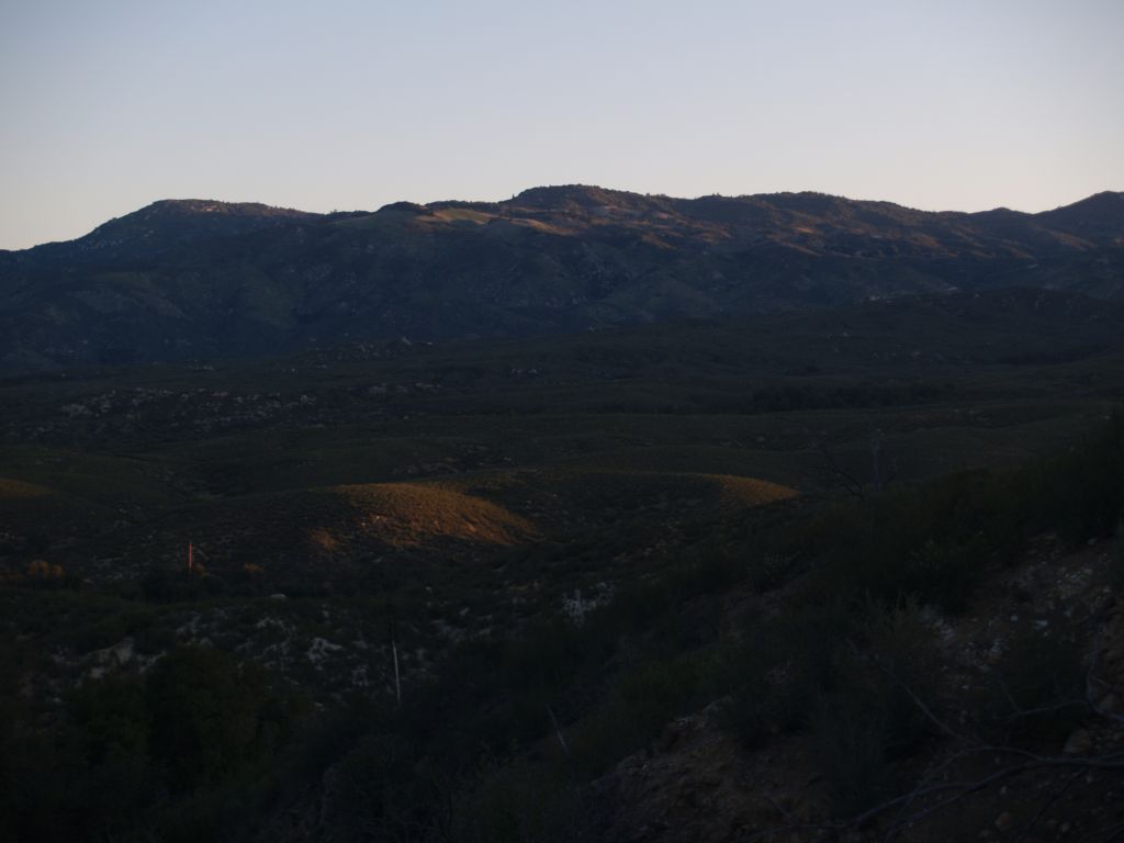
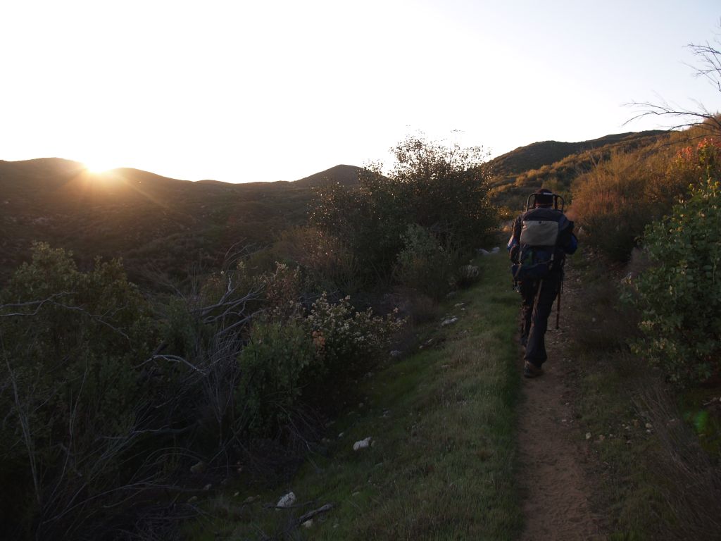
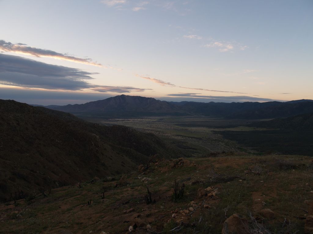
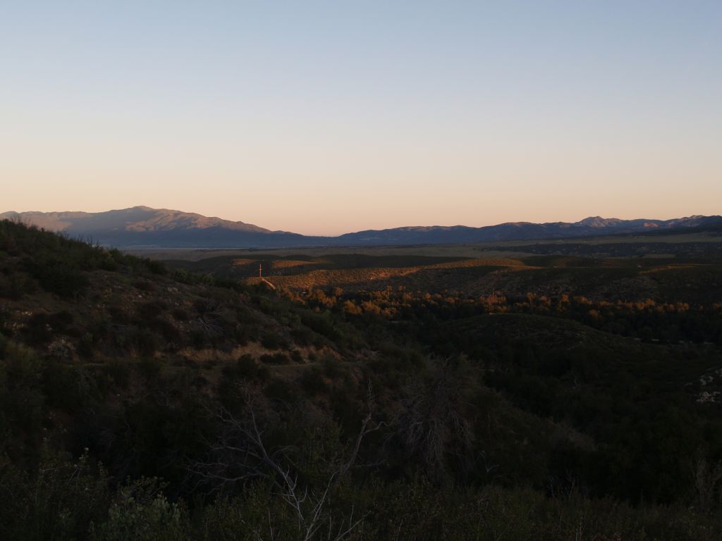
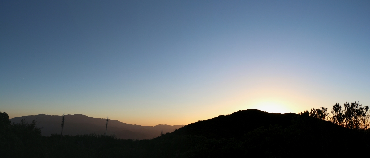
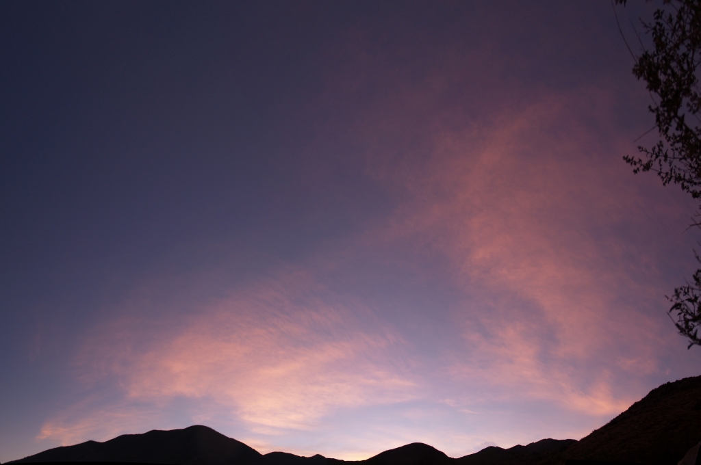
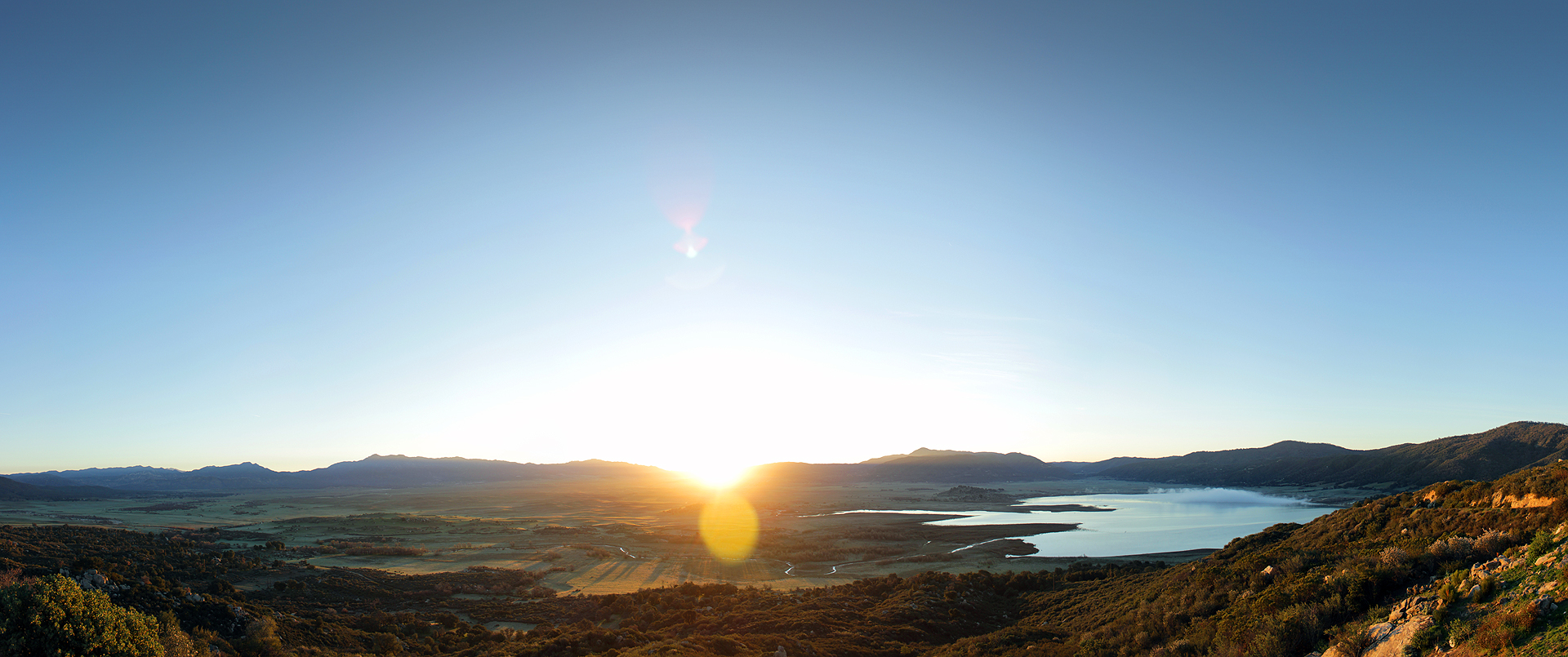
日出日落照片
The Golden Day is Dying Beyond the Purple Hill

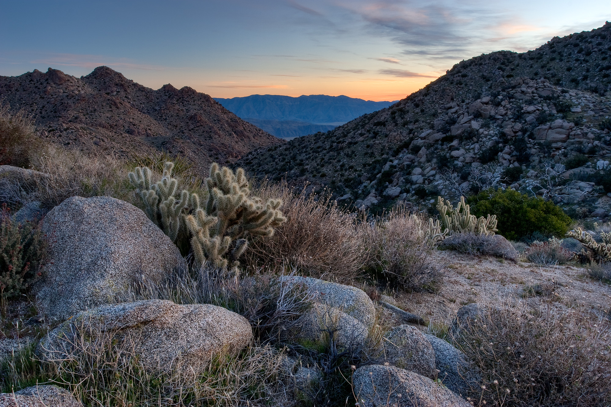
261 PCT San Felipe Hills - sunrise cirrus clouds
S-2/San Felipe Road

S-2/San Felipe Road

Lake Henshaw Sunrise
286 PCT San Felipe Hills - HDR shot of sunrise and Granite Mountain
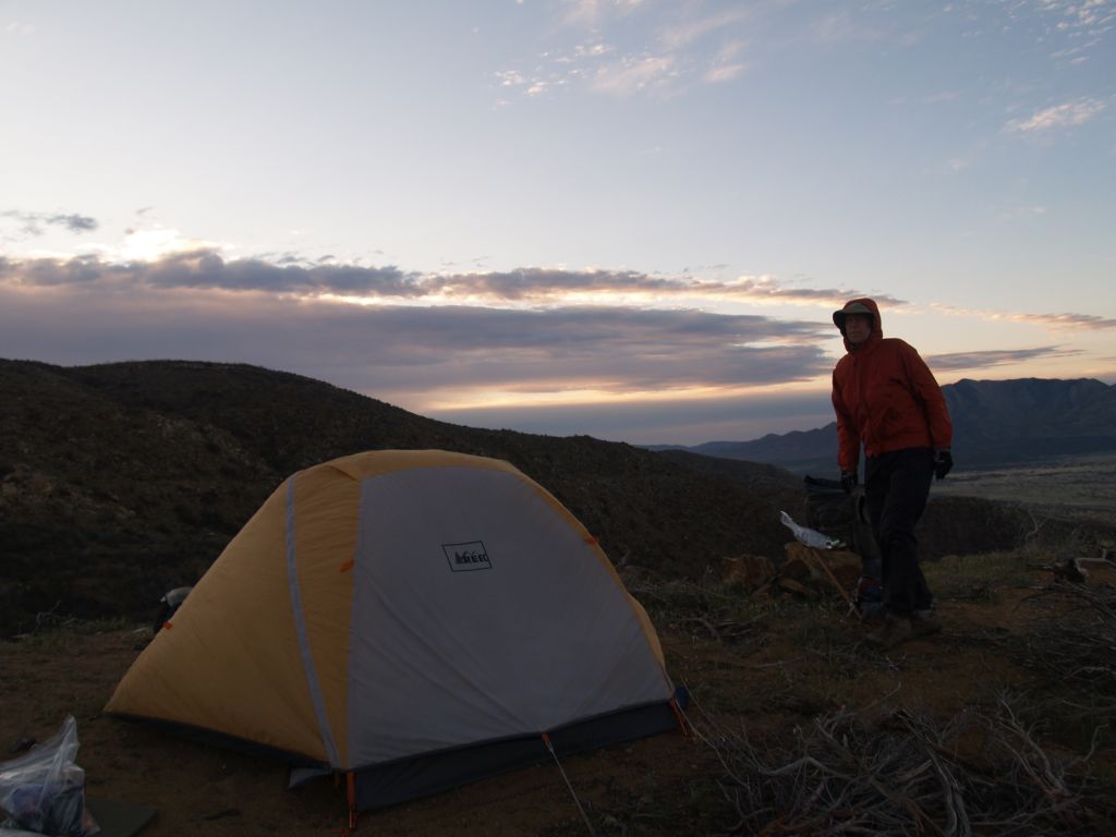
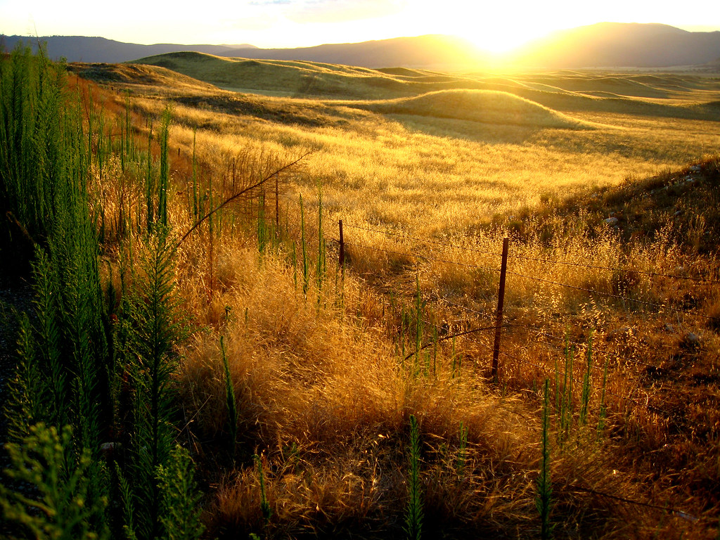
257 PCT San Felipe Hills - sunrise over our tent
019 PCT - sunrise as we head south from Route S22
025 PCT sunrise
254 PCT San Felipe Hills - sunrise looking south to Granite Mountain
023 PCT - sunrise near Route S22 looking north toward Warner Springs

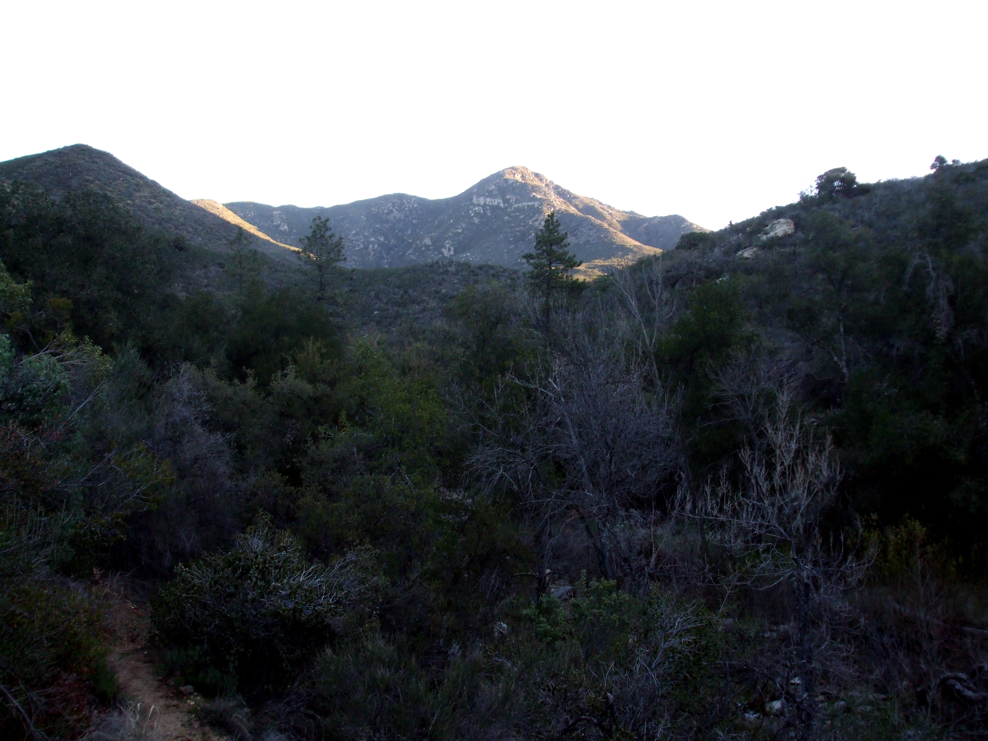
Sunrise over the Santa Rosa Mountains and Flatcat Canyon from Hellhole Flat
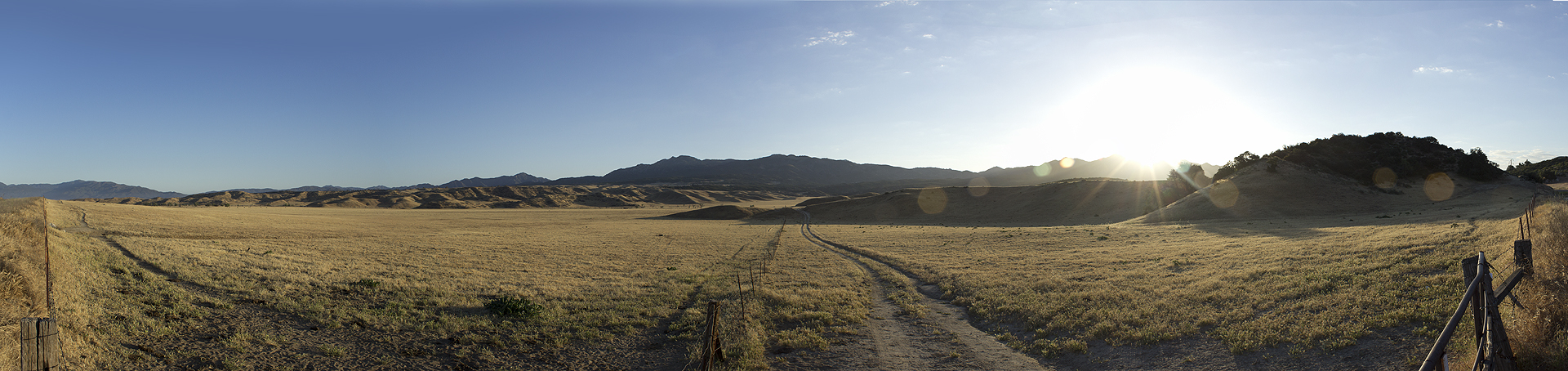
0607 Panorama sunrise from Campsite CS0129 on the PCT
545 Sunrise clouds from our Cougar Canyon campsite
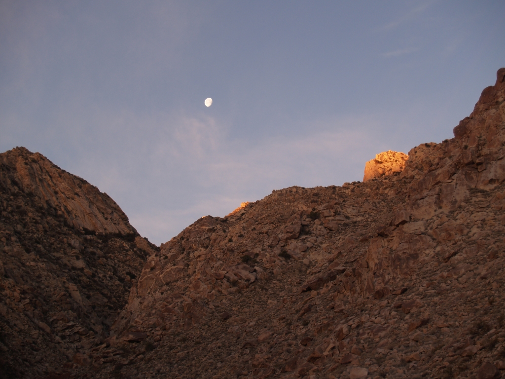
558 Moonset and sunrise above Cougar Canyon

Just Before the Break
Good Morning Sunshine

Misumena (F Thomisidae) with moth prey
Sunrise over the distant Santa Rosa Mountains from Hellhole Flat.
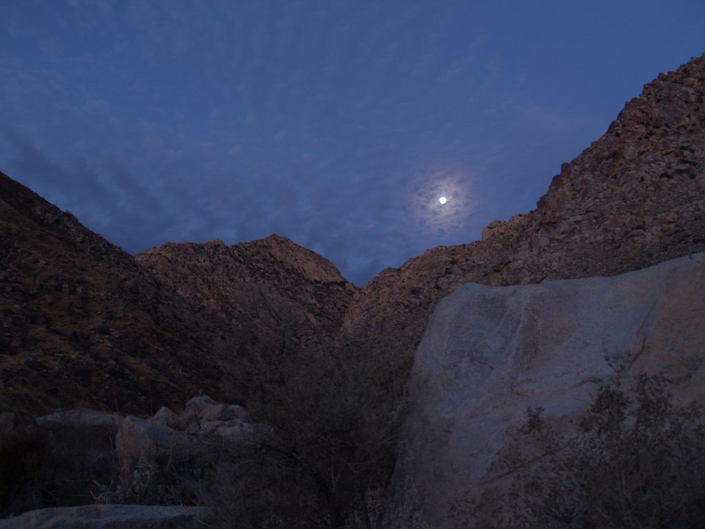
145 Moonset and sunrise alpenglow over Cougar Canyon
Sunrise in Agua Caliente
Camino San Ignacio, Warner Springs, CA 美国的地图
查询其他地方的日出日落时间
附近地点
CA-79, Warner Springs, CA 美国Warner Springs Ranch Resort
美国加利福尼亚州沃纳斯普林斯
San Felipe, CA 美国
Chihuahua Valley Rd, Warner Springs, CA 美国Schoepe Scout Reservation at Lost Valley
Chihuahua Valley Rd, Warner Springs, CA 美国
Stamnes Rd, Warner Springs, CA 美国
Chihuahua Valley Rd, Warner Springs, CA 美国
Chihuahua Valley Rd, Warner Springs, CA 美国
Montezuma Valley Rd, Ranchita, CA 美国
Chihuahua Valley, California 美国
Ranchita, CA 美国
Montezuma Valley Rd, Warner Springs, CA 美国
Montezuma Valley Rd, Warner Springs, CA 美国
Santa Ysabel, CA 美国Santa Ysabel Tribal Office
Stevens Way, Warner Springs, CA 美国
Montezuma Valley Rd, Ranchita, CA 美国
美国加利福尼亚州圣伊莎贝尔
CA-78, Santa Ysabel, CA 美国Dudley's Bakery
Montezuma-Borrego Hwy, Ranchita, CA 美国Culp Valley Primitive Campground
Mountainbrook Rd, Santa Ysabel, CA 美国
最近搜索
- Shuenhigashi, Shari, Shari District, Hokkaido -日本Road to the sky observatory的日出日落时间表
- 台湾高雄市鼓山區柴山大路31號海岸咖啡的日出日落时间表
- Estates Loop, Priest River, ID 美国的日出日落时间表
- Woodland Oak Pl, Thousand Oaks, CA, USA的日出日落时间表
- Sarangdanda, Nepal的日出日落时间表
- Nakanoshima, Shiogama, Miyagi -日本的日出日落时间表
- bp - 63 Rte de l'Observatoire, Bouzareah, 阿尔及利亚阿尔及尔天文台的日出日落时间表
- Crocker Dr, Vacaville, CA, USA的日出日落时间表
- 柬埔寨森莫诺隆HWHM+3X7Pu Ngaol Community Meeting Hall的日出日落时间表
- batu 10, Jalan Pantai, Port Dickson, Melaka, 马来西亚Pantai Cermin的日出日落时间表