Alto Cir, Vernon, FL 美国的日出日落时间表
Location: 美国 > 佛罗里达 > 华盛顿县 > 美国佛罗里达弗农 >
时区:
America/Chicago
当地时间:
2024-04-30 15:04:05
经度:
-85.680321
纬度:
30.600519
今天日出时间:
05:57:58 AM
今天日落时间:
07:21:27 PM
今天日照时常:
13h 23m 29s
明天日出时间:
05:57:06 AM
明天日落时间:
07:22:07 PM
明天日照时常:
13h 25m 1s
显示所有日期
| 日期 | 日出 | 日落 | 日照时常 |
|---|---|---|---|
| 2024年01月01日 | 06:40:02 AM | 04:52:59 PM | 10h 12m 57s |
| 2024年01月02日 | 06:40:14 AM | 04:53:43 PM | 10h 13m 29s |
| 2024年01月03日 | 06:40:25 AM | 04:54:27 PM | 10h 14m 2s |
| 2024年01月04日 | 06:40:34 AM | 04:55:13 PM | 10h 14m 39s |
| 2024年01月05日 | 06:40:41 AM | 04:55:59 PM | 10h 15m 18s |
| 2024年01月06日 | 06:40:47 AM | 04:56:45 PM | 10h 15m 58s |
| 2024年01月07日 | 06:40:51 AM | 04:57:33 PM | 10h 16m 42s |
| 2024年01月08日 | 06:40:53 AM | 04:58:21 PM | 10h 17m 28s |
| 2024年01月09日 | 06:40:53 AM | 04:59:10 PM | 10h 18m 17s |
| 2024年01月10日 | 06:40:52 AM | 04:59:59 PM | 10h 19m 7s |
| 2024年01月11日 | 06:40:50 AM | 05:00:49 PM | 10h 19m 59s |
| 2024年01月12日 | 06:40:45 AM | 05:01:40 PM | 10h 20m 55s |
| 2024年01月13日 | 06:40:39 AM | 05:02:31 PM | 10h 21m 52s |
| 2024年01月14日 | 06:40:31 AM | 05:03:22 PM | 10h 22m 51s |
| 2024年01月15日 | 06:40:21 AM | 05:04:13 PM | 10h 23m 52s |
| 2024年01月16日 | 06:40:10 AM | 05:05:05 PM | 10h 24m 55s |
| 2024年01月17日 | 06:39:57 AM | 05:05:58 PM | 10h 26m 1s |
| 2024年01月18日 | 06:39:42 AM | 05:06:50 PM | 10h 27m 8s |
| 2024年01月19日 | 06:39:26 AM | 05:07:43 PM | 10h 28m 17s |
| 2024年01月20日 | 06:39:08 AM | 05:08:36 PM | 10h 29m 28s |
| 2024年01月21日 | 06:38:48 AM | 05:09:29 PM | 10h 30m 41s |
| 2024年01月22日 | 06:38:27 AM | 05:10:22 PM | 10h 31m 55s |
| 2024年01月23日 | 06:38:04 AM | 05:11:15 PM | 10h 33m 11s |
| 2024年01月24日 | 06:37:40 AM | 05:12:08 PM | 10h 34m 28s |
| 2024年01月25日 | 06:37:14 AM | 05:13:01 PM | 10h 35m 47s |
| 2024年01月26日 | 06:36:46 AM | 05:13:55 PM | 10h 37m 9s |
| 2024年01月27日 | 06:36:17 AM | 05:14:48 PM | 10h 38m 31s |
| 2024年01月28日 | 06:35:46 AM | 05:15:41 PM | 10h 39m 55s |
| 2024年01月29日 | 06:35:14 AM | 05:16:34 PM | 10h 41m 20s |
| 2024年01月30日 | 06:34:40 AM | 05:17:27 PM | 10h 42m 47s |
| 2024年01月31日 | 06:34:05 AM | 05:18:19 PM | 10h 44m 14s |
| 2024年02月01日 | 06:33:28 AM | 05:19:12 PM | 10h 45m 44s |
| 2024年02月02日 | 06:32:50 AM | 05:20:04 PM | 10h 47m 14s |
| 2024年02月03日 | 06:32:10 AM | 05:20:56 PM | 10h 48m 46s |
| 2024年02月04日 | 06:31:30 AM | 05:21:48 PM | 10h 50m 18s |
| 2024年02月05日 | 06:30:47 AM | 05:22:39 PM | 10h 51m 52s |
| 2024年02月06日 | 06:30:04 AM | 05:23:31 PM | 10h 53m 27s |
| 2024年02月07日 | 06:29:19 AM | 05:24:22 PM | 10h 55m 3s |
| 2024年02月08日 | 06:28:33 AM | 05:25:12 PM | 10h 56m 39s |
| 2024年02月09日 | 06:27:45 AM | 05:26:03 PM | 10h 58m 18s |
| 2024年02月10日 | 06:26:57 AM | 05:26:53 PM | 10h 59m 56s |
| 2024年02月11日 | 06:26:07 AM | 05:27:42 PM | 11h 1m 35s |
| 2024年02月12日 | 06:25:16 AM | 05:28:32 PM | 11h 3m 16s |
| 2024年02月13日 | 06:24:24 AM | 05:29:21 PM | 11h 4m 57s |
| 2024年02月14日 | 06:23:30 AM | 05:30:09 PM | 11h 6m 39s |
| 2024年02月15日 | 06:22:36 AM | 05:30:58 PM | 11h 8m 22s |
| 2024年02月16日 | 06:21:41 AM | 05:31:46 PM | 11h 10m 5s |
| 2024年02月17日 | 06:20:44 AM | 05:32:33 PM | 11h 11m 49s |
| 2024年02月18日 | 06:19:47 AM | 05:33:20 PM | 11h 13m 33s |
| 2024年02月19日 | 06:18:48 AM | 05:34:07 PM | 11h 15m 19s |
| 2024年02月20日 | 06:17:49 AM | 05:34:53 PM | 11h 17m 4s |
| 2024年02月21日 | 06:16:49 AM | 05:35:39 PM | 11h 18m 50s |
| 2024年02月22日 | 06:15:48 AM | 05:36:25 PM | 11h 20m 37s |
| 2024年02月23日 | 06:14:46 AM | 05:37:10 PM | 11h 22m 24s |
| 2024年02月24日 | 06:13:43 AM | 05:37:55 PM | 11h 24m 12s |
| 2024年02月25日 | 06:12:39 AM | 05:38:40 PM | 11h 26m 1s |
| 2024年02月26日 | 06:11:35 AM | 05:39:24 PM | 11h 27m 49s |
| 2024年02月27日 | 06:10:30 AM | 05:40:08 PM | 11h 29m 38s |
| 2024年02月28日 | 06:09:24 AM | 05:40:51 PM | 11h 31m 27s |
| 2024年02月29日 | 06:08:17 AM | 05:41:34 PM | 11h 33m 17s |
| 2024年03月01日 | 06:07:10 AM | 05:42:17 PM | 11h 35m 7s |
| 2024年03月02日 | 06:06:02 AM | 05:42:59 PM | 11h 36m 57s |
| 2024年03月03日 | 06:04:54 AM | 05:43:42 PM | 11h 38m 48s |
| 2024年03月04日 | 06:03:45 AM | 05:44:23 PM | 11h 40m 38s |
| 2024年03月05日 | 06:02:36 AM | 05:45:05 PM | 11h 42m 29s |
| 2024年03月06日 | 06:01:26 AM | 05:45:46 PM | 11h 44m 20s |
| 2024年03月07日 | 06:00:15 AM | 05:46:27 PM | 11h 46m 12s |
| 2024年03月08日 | 05:59:04 AM | 05:47:08 PM | 11h 48m 4s |
| 2024年03月09日 | 05:57:53 AM | 05:47:48 PM | 11h 49m 55s |
| 2024年03月10日 | 06:56:44 AM | 06:48:26 PM | 11h 51m 42s |
| 2024年03月11日 | 06:55:32 AM | 06:49:06 PM | 11h 53m 34s |
| 2024年03月12日 | 06:54:20 AM | 06:49:46 PM | 11h 55m 26s |
| 2024年03月13日 | 06:53:07 AM | 06:50:25 PM | 11h 57m 18s |
| 2024年03月14日 | 06:51:55 AM | 06:51:05 PM | 11h 59m 10s |
| 2024年03月15日 | 06:50:41 AM | 06:51:44 PM | 12h 1m 3s |
| 2024年03月16日 | 06:49:28 AM | 06:52:23 PM | 12h 2m 55s |
| 2024年03月17日 | 06:48:15 AM | 06:53:01 PM | 12h 4m 46s |
| 2024年03月18日 | 06:47:01 AM | 06:53:40 PM | 12h 6m 39s |
| 2024年03月19日 | 06:45:47 AM | 06:54:18 PM | 12h 8m 31s |
| 2024年03月20日 | 06:44:33 AM | 06:54:56 PM | 12h 10m 23s |
| 2024年03月21日 | 06:43:19 AM | 06:55:34 PM | 12h 12m 15s |
| 2024年03月22日 | 06:42:05 AM | 06:56:12 PM | 12h 14m 7s |
| 2024年03月23日 | 06:40:51 AM | 06:56:50 PM | 12h 15m 59s |
| 2024年03月24日 | 06:39:37 AM | 06:57:28 PM | 12h 17m 51s |
| 2024年03月25日 | 06:38:23 AM | 06:58:06 PM | 12h 19m 43s |
| 2024年03月26日 | 06:37:09 AM | 06:58:44 PM | 12h 21m 35s |
| 2024年03月27日 | 06:35:55 AM | 06:59:21 PM | 12h 23m 26s |
| 2024年03月28日 | 06:34:42 AM | 06:59:59 PM | 12h 25m 17s |
| 2024年03月29日 | 06:33:28 AM | 07:00:36 PM | 12h 27m 8s |
| 2024年03月30日 | 06:32:15 AM | 07:01:14 PM | 12h 28m 59s |
| 2024年03月31日 | 06:31:02 AM | 07:01:51 PM | 12h 30m 49s |
| 2024年04月01日 | 06:29:49 AM | 07:02:29 PM | 12h 32m 40s |
| 2024年04月02日 | 06:28:36 AM | 07:03:06 PM | 12h 34m 30s |
| 2024年04月03日 | 06:27:24 AM | 07:03:44 PM | 12h 36m 20s |
| 2024年04月04日 | 06:26:12 AM | 07:04:22 PM | 12h 38m 10s |
| 2024年04月05日 | 06:25:00 AM | 07:04:59 PM | 12h 39m 59s |
| 2024年04月06日 | 06:23:49 AM | 07:05:37 PM | 12h 41m 48s |
| 2024年04月07日 | 06:22:38 AM | 07:06:15 PM | 12h 43m 37s |
| 2024年04月08日 | 06:21:28 AM | 07:06:53 PM | 12h 45m 25s |
| 2024年04月09日 | 06:20:18 AM | 07:07:30 PM | 12h 47m 12s |
| 2024年04月10日 | 06:19:08 AM | 07:08:08 PM | 12h 49m 0s |
| 2024年04月11日 | 06:18:00 AM | 07:08:47 PM | 12h 50m 47s |
| 2024年04月12日 | 06:16:51 AM | 07:09:25 PM | 12h 52m 34s |
| 2024年04月13日 | 06:15:43 AM | 07:10:03 PM | 12h 54m 20s |
| 2024年04月14日 | 06:14:36 AM | 07:10:41 PM | 12h 56m 5s |
| 2024年04月15日 | 06:13:29 AM | 07:11:20 PM | 12h 57m 51s |
| 2024年04月16日 | 06:12:23 AM | 07:11:58 PM | 12h 59m 35s |
| 2024年04月17日 | 06:11:18 AM | 07:12:37 PM | 13h 1m 19s |
| 2024年04月18日 | 06:10:14 AM | 07:13:16 PM | 13h 3m 2s |
| 2024年04月19日 | 06:09:10 AM | 07:13:55 PM | 13h 4m 45s |
| 2024年04月20日 | 06:08:07 AM | 07:14:34 PM | 13h 6m 27s |
| 2024年04月21日 | 06:07:04 AM | 07:15:13 PM | 13h 8m 9s |
| 2024年04月22日 | 06:06:03 AM | 07:15:52 PM | 13h 9m 49s |
| 2024年04月23日 | 06:05:02 AM | 07:16:31 PM | 13h 11m 29s |
| 2024年04月24日 | 06:04:02 AM | 07:17:11 PM | 13h 13m 9s |
| 2024年04月25日 | 06:03:03 AM | 07:17:50 PM | 13h 14m 47s |
| 2024年04月26日 | 06:02:05 AM | 07:18:30 PM | 13h 16m 25s |
| 2024年04月27日 | 06:01:08 AM | 07:19:10 PM | 13h 18m 2s |
| 2024年04月28日 | 06:00:12 AM | 07:19:49 PM | 13h 19m 37s |
| 2024年04月29日 | 05:59:17 AM | 07:20:29 PM | 13h 21m 12s |
| 2024年04月30日 | 05:58:23 AM | 07:21:09 PM | 13h 22m 46s |
| 2024年05月01日 | 05:57:30 AM | 07:21:49 PM | 13h 24m 19s |
| 2024年05月02日 | 05:56:38 AM | 07:22:29 PM | 13h 25m 51s |
| 2024年05月03日 | 05:55:47 AM | 07:23:09 PM | 13h 27m 22s |
| 2024年05月04日 | 05:54:57 AM | 07:23:49 PM | 13h 28m 52s |
| 2024年05月05日 | 05:54:08 AM | 07:24:29 PM | 13h 30m 21s |
| 2024年05月06日 | 05:53:21 AM | 07:25:09 PM | 13h 31m 48s |
| 2024年05月07日 | 05:52:34 AM | 07:25:49 PM | 13h 33m 15s |
| 2024年05月08日 | 05:51:49 AM | 07:26:29 PM | 13h 34m 40s |
| 2024年05月09日 | 05:51:05 AM | 07:27:09 PM | 13h 36m 4s |
| 2024年05月10日 | 05:50:22 AM | 07:27:49 PM | 13h 37m 27s |
| 2024年05月11日 | 05:49:40 AM | 07:28:29 PM | 13h 38m 49s |
| 2024年05月12日 | 05:49:00 AM | 07:29:08 PM | 13h 40m 8s |
| 2024年05月13日 | 05:48:21 AM | 07:29:48 PM | 13h 41m 27s |
| 2024年05月14日 | 05:47:43 AM | 07:30:27 PM | 13h 42m 44s |
| 2024年05月15日 | 05:47:07 AM | 07:31:06 PM | 13h 43m 59s |
| 2024年05月16日 | 05:46:32 AM | 07:31:45 PM | 13h 45m 13s |
| 2024年05月17日 | 05:45:58 AM | 07:32:24 PM | 13h 46m 26s |
| 2024年05月18日 | 05:45:25 AM | 07:33:02 PM | 13h 47m 37s |
| 2024年05月19日 | 05:44:54 AM | 07:33:40 PM | 13h 48m 46s |
| 2024年05月20日 | 05:44:25 AM | 07:34:18 PM | 13h 49m 53s |
| 2024年05月21日 | 05:43:56 AM | 07:34:55 PM | 13h 50m 59s |
| 2024年05月22日 | 05:43:30 AM | 07:35:33 PM | 13h 52m 3s |
| 2024年05月23日 | 05:43:04 AM | 07:36:09 PM | 13h 53m 5s |
| 2024年05月24日 | 05:42:40 AM | 07:36:46 PM | 13h 54m 6s |
| 2024年05月25日 | 05:42:17 AM | 07:37:21 PM | 13h 55m 4s |
| 2024年05月26日 | 05:41:56 AM | 07:37:57 PM | 13h 56m 1s |
| 2024年05月27日 | 05:41:37 AM | 07:38:32 PM | 13h 56m 55s |
| 2024年05月28日 | 05:41:18 AM | 07:39:06 PM | 13h 57m 48s |
| 2024年05月29日 | 05:41:01 AM | 07:39:40 PM | 13h 58m 39s |
| 2024年05月30日 | 05:40:46 AM | 07:40:13 PM | 13h 59m 27s |
| 2024年05月31日 | 05:40:32 AM | 07:40:45 PM | 14h 0m 13s |
| 2024年06月01日 | 05:40:20 AM | 07:41:17 PM | 14h 0m 57s |
| 2024年06月02日 | 05:40:08 AM | 07:41:48 PM | 14h 1m 40s |
| 2024年06月03日 | 05:39:59 AM | 07:42:18 PM | 14h 2m 19s |
| 2024年06月04日 | 05:39:51 AM | 07:42:48 PM | 14h 2m 57s |
| 2024年06月05日 | 05:39:44 AM | 07:43:16 PM | 14h 3m 32s |
| 2024年06月06日 | 05:39:38 AM | 07:43:44 PM | 14h 4m 6s |
| 2024年06月07日 | 05:39:35 AM | 07:44:11 PM | 14h 4m 36s |
| 2024年06月08日 | 05:39:32 AM | 07:44:37 PM | 14h 5m 5s |
| 2024年06月09日 | 05:39:31 AM | 07:45:03 PM | 14h 5m 32s |
| 2024年06月10日 | 05:39:31 AM | 07:45:27 PM | 14h 5m 56s |
| 2024年06月11日 | 05:39:33 AM | 07:45:50 PM | 14h 6m 17s |
| 2024年06月12日 | 05:39:36 AM | 07:46:12 PM | 14h 6m 36s |
| 2024年06月13日 | 05:39:40 AM | 07:46:33 PM | 14h 6m 53s |
| 2024年06月14日 | 05:39:46 AM | 07:46:53 PM | 14h 7m 7s |
| 2024年06月15日 | 05:39:53 AM | 07:47:12 PM | 14h 7m 19s |
| 2024年06月16日 | 05:40:01 AM | 07:47:30 PM | 14h 7m 29s |
| 2024年06月17日 | 05:40:10 AM | 07:47:47 PM | 14h 7m 37s |
| 2024年06月18日 | 05:40:21 AM | 07:48:02 PM | 14h 7m 41s |
| 2024年06月19日 | 05:40:33 AM | 07:48:16 PM | 14h 7m 43s |
| 2024年06月20日 | 05:40:46 AM | 07:48:29 PM | 14h 7m 43s |
| 2024年06月21日 | 05:41:01 AM | 07:48:41 PM | 14h 7m 40s |
| 2024年06月22日 | 05:41:16 AM | 07:48:51 PM | 14h 7m 35s |
| 2024年06月23日 | 05:41:33 AM | 07:49:00 PM | 14h 7m 27s |
| 2024年06月24日 | 05:41:51 AM | 07:49:08 PM | 14h 7m 17s |
| 2024年06月25日 | 05:42:09 AM | 07:49:15 PM | 14h 7m 6s |
| 2024年06月26日 | 05:42:29 AM | 07:49:20 PM | 14h 6m 51s |
| 2024年06月27日 | 05:42:50 AM | 07:49:23 PM | 14h 6m 33s |
| 2024年06月28日 | 05:43:12 AM | 07:49:26 PM | 14h 6m 14s |
| 2024年06月29日 | 05:43:35 AM | 07:49:26 PM | 14h 5m 51s |
| 2024年06月30日 | 05:43:58 AM | 07:49:26 PM | 14h 5m 28s |
| 2024年07月01日 | 05:44:23 AM | 07:49:24 PM | 14h 5m 1s |
| 2024年07月02日 | 05:44:48 AM | 07:49:20 PM | 14h 4m 32s |
| 2024年07月03日 | 05:45:15 AM | 07:49:15 PM | 14h 4m 0s |
| 2024年07月04日 | 05:45:42 AM | 07:49:09 PM | 14h 3m 27s |
| 2024年07月05日 | 05:46:09 AM | 07:49:01 PM | 14h 2m 52s |
| 2024年07月06日 | 05:46:38 AM | 07:48:52 PM | 14h 2m 14s |
| 2024年07月07日 | 05:47:07 AM | 07:48:41 PM | 14h 1m 34s |
| 2024年07月08日 | 05:47:37 AM | 07:48:29 PM | 14h 0m 52s |
| 2024年07月09日 | 05:48:08 AM | 07:48:15 PM | 14h 0m 7s |
| 2024年07月10日 | 05:48:39 AM | 07:48:00 PM | 13h 59m 21s |
| 2024年07月11日 | 05:49:11 AM | 07:47:43 PM | 13h 58m 32s |
| 2024年07月12日 | 05:49:43 AM | 07:47:25 PM | 13h 57m 42s |
| 2024年07月13日 | 05:50:16 AM | 07:47:05 PM | 13h 56m 49s |
| 2024年07月14日 | 05:50:49 AM | 07:46:44 PM | 13h 55m 55s |
| 2024年07月15日 | 05:51:22 AM | 07:46:21 PM | 13h 54m 59s |
| 2024年07月16日 | 05:51:57 AM | 07:45:57 PM | 13h 54m 0s |
| 2024年07月17日 | 05:52:31 AM | 07:45:31 PM | 13h 53m 0s |
| 2024年07月18日 | 05:53:06 AM | 07:45:04 PM | 13h 51m 58s |
| 2024年07月19日 | 05:53:41 AM | 07:44:36 PM | 13h 50m 55s |
| 2024年07月20日 | 05:54:17 AM | 07:44:06 PM | 13h 49m 49s |
| 2024年07月21日 | 05:54:52 AM | 07:43:34 PM | 13h 48m 42s |
| 2024年07月22日 | 05:55:28 AM | 07:43:02 PM | 13h 47m 34s |
| 2024年07月23日 | 05:56:04 AM | 07:42:28 PM | 13h 46m 24s |
| 2024年07月24日 | 05:56:41 AM | 07:41:52 PM | 13h 45m 11s |
| 2024年07月25日 | 05:57:17 AM | 07:41:15 PM | 13h 43m 58s |
| 2024年07月26日 | 05:57:54 AM | 07:40:37 PM | 13h 42m 43s |
| 2024年07月27日 | 05:58:31 AM | 07:39:57 PM | 13h 41m 26s |
| 2024年07月28日 | 05:59:08 AM | 07:39:17 PM | 13h 40m 9s |
| 2024年07月29日 | 05:59:45 AM | 07:38:34 PM | 13h 38m 49s |
| 2024年07月30日 | 06:00:22 AM | 07:37:51 PM | 13h 37m 29s |
| 2024年07月31日 | 06:00:59 AM | 07:37:06 PM | 13h 36m 7s |
| 2024年08月01日 | 06:01:36 AM | 07:36:20 PM | 13h 34m 44s |
| 2024年08月02日 | 06:02:13 AM | 07:35:33 PM | 13h 33m 20s |
| 2024年08月03日 | 06:02:50 AM | 07:34:45 PM | 13h 31m 55s |
| 2024年08月04日 | 06:03:28 AM | 07:33:55 PM | 13h 30m 27s |
| 2024年08月05日 | 06:04:05 AM | 07:33:05 PM | 13h 29m 0s |
| 2024年08月06日 | 06:04:42 AM | 07:32:13 PM | 13h 27m 31s |
| 2024年08月07日 | 06:05:19 AM | 07:31:20 PM | 13h 26m 1s |
| 2024年08月08日 | 06:05:55 AM | 07:30:26 PM | 13h 24m 31s |
| 2024年08月09日 | 06:06:32 AM | 07:29:31 PM | 13h 22m 59s |
| 2024年08月10日 | 06:07:09 AM | 07:28:35 PM | 13h 21m 26s |
| 2024年08月11日 | 06:07:45 AM | 07:27:37 PM | 13h 19m 52s |
| 2024年08月12日 | 06:08:22 AM | 07:26:39 PM | 13h 18m 17s |
| 2024年08月13日 | 06:08:58 AM | 07:25:40 PM | 13h 16m 42s |
| 2024年08月14日 | 06:09:35 AM | 07:24:40 PM | 13h 15m 5s |
| 2024年08月15日 | 06:10:11 AM | 07:23:39 PM | 13h 13m 28s |
| 2024年08月16日 | 06:10:47 AM | 07:22:37 PM | 13h 11m 50s |
| 2024年08月17日 | 06:11:22 AM | 07:21:35 PM | 13h 10m 13s |
| 2024年08月18日 | 06:11:58 AM | 07:20:31 PM | 13h 8m 33s |
| 2024年08月19日 | 06:12:34 AM | 07:19:27 PM | 13h 6m 53s |
| 2024年08月20日 | 06:13:09 AM | 07:18:22 PM | 13h 5m 13s |
| 2024年08月21日 | 06:13:44 AM | 07:17:16 PM | 13h 3m 32s |
| 2024年08月22日 | 06:14:19 AM | 07:16:09 PM | 13h 1m 50s |
| 2024年08月23日 | 06:14:54 AM | 07:15:01 PM | 13h 0m 7s |
| 2024年08月24日 | 06:15:29 AM | 07:13:53 PM | 12h 58m 24s |
| 2024年08月25日 | 06:16:04 AM | 07:12:45 PM | 12h 56m 41s |
| 2024年08月26日 | 06:16:39 AM | 07:11:35 PM | 12h 54m 56s |
| 2024年08月27日 | 06:17:13 AM | 07:10:25 PM | 12h 53m 12s |
| 2024年08月28日 | 06:17:47 AM | 07:09:15 PM | 12h 51m 28s |
| 2024年08月29日 | 06:18:21 AM | 07:08:04 PM | 12h 49m 43s |
| 2024年08月30日 | 06:18:56 AM | 07:06:52 PM | 12h 47m 56s |
| 2024年08月31日 | 06:19:30 AM | 07:05:40 PM | 12h 46m 10s |
| 2024年09月01日 | 06:20:03 AM | 07:04:27 PM | 12h 44m 24s |
| 2024年09月02日 | 06:20:37 AM | 07:03:14 PM | 12h 42m 37s |
| 2024年09月03日 | 06:21:11 AM | 07:02:01 PM | 12h 40m 50s |
| 2024年09月04日 | 06:21:45 AM | 07:00:47 PM | 12h 39m 2s |
| 2024年09月05日 | 06:22:18 AM | 06:59:32 PM | 12h 37m 14s |
| 2024年09月06日 | 06:22:52 AM | 06:58:18 PM | 12h 35m 26s |
| 2024年09月07日 | 06:23:25 AM | 06:57:03 PM | 12h 33m 38s |
| 2024年09月08日 | 06:23:59 AM | 06:55:48 PM | 12h 31m 49s |
| 2024年09月09日 | 06:24:32 AM | 06:54:32 PM | 12h 30m 0s |
| 2024年09月10日 | 06:25:05 AM | 06:53:17 PM | 12h 28m 12s |
| 2024年09月11日 | 06:25:39 AM | 06:52:01 PM | 12h 26m 22s |
| 2024年09月12日 | 06:26:12 AM | 06:50:45 PM | 12h 24m 33s |
| 2024年09月13日 | 06:26:46 AM | 06:49:29 PM | 12h 22m 43s |
| 2024年09月14日 | 06:27:19 AM | 06:48:12 PM | 12h 20m 53s |
| 2024年09月15日 | 06:27:53 AM | 06:46:56 PM | 12h 19m 3s |
| 2024年09月16日 | 06:28:26 AM | 06:45:39 PM | 12h 17m 13s |
| 2024年09月17日 | 06:29:00 AM | 06:44:23 PM | 12h 15m 23s |
| 2024年09月18日 | 06:29:34 AM | 06:43:06 PM | 12h 13m 32s |
| 2024年09月19日 | 06:30:07 AM | 06:41:50 PM | 12h 11m 43s |
| 2024年09月20日 | 06:30:41 AM | 06:40:33 PM | 12h 9m 52s |
| 2024年09月21日 | 06:31:15 AM | 06:39:17 PM | 12h 8m 2s |
| 2024年09月22日 | 06:31:50 AM | 06:38:01 PM | 12h 6m 11s |
| 2024年09月23日 | 06:32:24 AM | 06:36:45 PM | 12h 4m 21s |
| 2024年09月24日 | 06:32:58 AM | 06:35:29 PM | 12h 2m 31s |
| 2024年09月25日 | 06:33:33 AM | 06:34:13 PM | 12h 0m 40s |
| 2024年09月26日 | 06:34:08 AM | 06:32:57 PM | 11h 58m 49s |
| 2024年09月27日 | 06:34:43 AM | 06:31:42 PM | 11h 56m 59s |
| 2024年09月28日 | 06:35:18 AM | 06:30:27 PM | 11h 55m 9s |
| 2024年09月29日 | 06:35:54 AM | 06:29:12 PM | 11h 53m 18s |
| 2024年09月30日 | 06:36:30 AM | 06:27:58 PM | 11h 51m 28s |
| 2024年10月01日 | 06:37:05 AM | 06:26:44 PM | 11h 49m 39s |
| 2024年10月02日 | 06:37:42 AM | 06:25:30 PM | 11h 47m 48s |
| 2024年10月03日 | 06:38:18 AM | 06:24:17 PM | 11h 45m 59s |
| 2024年10月04日 | 06:38:55 AM | 06:23:04 PM | 11h 44m 9s |
| 2024年10月05日 | 06:39:32 AM | 06:21:51 PM | 11h 42m 19s |
| 2024年10月06日 | 06:40:10 AM | 06:20:39 PM | 11h 40m 29s |
| 2024年10月07日 | 06:40:47 AM | 06:19:28 PM | 11h 38m 41s |
| 2024年10月08日 | 06:41:25 AM | 06:18:17 PM | 11h 36m 52s |
| 2024年10月09日 | 06:42:04 AM | 06:17:07 PM | 11h 35m 3s |
| 2024年10月10日 | 06:42:42 AM | 06:15:57 PM | 11h 33m 15s |
| 2024年10月11日 | 06:43:21 AM | 06:14:48 PM | 11h 31m 27s |
| 2024年10月12日 | 06:44:01 AM | 06:13:40 PM | 11h 29m 39s |
| 2024年10月13日 | 06:44:41 AM | 06:12:33 PM | 11h 27m 52s |
| 2024年10月14日 | 06:45:21 AM | 06:11:26 PM | 11h 26m 5s |
| 2024年10月15日 | 06:46:01 AM | 06:10:20 PM | 11h 24m 19s |
| 2024年10月16日 | 06:46:42 AM | 06:09:14 PM | 11h 22m 32s |
| 2024年10月17日 | 06:47:24 AM | 06:08:10 PM | 11h 20m 46s |
| 2024年10月18日 | 06:48:06 AM | 06:07:06 PM | 11h 19m 0s |
| 2024年10月19日 | 06:48:48 AM | 06:06:04 PM | 11h 17m 16s |
| 2024年10月20日 | 06:49:30 AM | 06:05:02 PM | 11h 15m 32s |
| 2024年10月21日 | 06:50:13 AM | 06:04:01 PM | 11h 13m 48s |
| 2024年10月22日 | 06:50:57 AM | 06:03:01 PM | 11h 12m 4s |
| 2024年10月23日 | 06:51:40 AM | 06:02:02 PM | 11h 10m 22s |
| 2024年10月24日 | 06:52:24 AM | 06:01:04 PM | 11h 8m 40s |
| 2024年10月25日 | 06:53:09 AM | 06:00:07 PM | 11h 6m 58s |
| 2024年10月26日 | 06:53:54 AM | 05:59:11 PM | 11h 5m 17s |
| 2024年10月27日 | 06:54:39 AM | 05:58:17 PM | 11h 3m 38s |
| 2024年10月28日 | 06:55:25 AM | 05:57:23 PM | 11h 1m 58s |
| 2024年10月29日 | 06:56:11 AM | 05:56:31 PM | 11h 0m 20s |
| 2024年10月30日 | 06:56:58 AM | 05:55:40 PM | 10h 58m 42s |
| 2024年10月31日 | 06:57:45 AM | 05:54:50 PM | 10h 57m 5s |
| 2024年11月01日 | 06:58:32 AM | 05:54:01 PM | 10h 55m 29s |
| 2024年11月02日 | 06:59:19 AM | 05:53:13 PM | 10h 53m 54s |
| 2024年11月03日 | 06:00:09 AM | 04:52:25 PM | 10h 52m 16s |
| 2024年11月04日 | 06:00:58 AM | 04:51:41 PM | 10h 50m 43s |
| 2024年11月05日 | 06:01:46 AM | 04:50:57 PM | 10h 49m 11s |
| 2024年11月06日 | 06:02:35 AM | 04:50:15 PM | 10h 47m 40s |
| 2024年11月07日 | 06:03:24 AM | 04:49:35 PM | 10h 46m 11s |
| 2024年11月08日 | 06:04:14 AM | 04:48:55 PM | 10h 44m 41s |
| 2024年11月09日 | 06:05:03 AM | 04:48:18 PM | 10h 43m 15s |
| 2024年11月10日 | 06:05:53 AM | 04:47:41 PM | 10h 41m 48s |
| 2024年11月11日 | 06:06:43 AM | 04:47:07 PM | 10h 40m 24s |
| 2024年11月12日 | 06:07:34 AM | 04:46:33 PM | 10h 38m 59s |
| 2024年11月13日 | 06:08:24 AM | 04:46:02 PM | 10h 37m 38s |
| 2024年11月14日 | 06:09:14 AM | 04:45:32 PM | 10h 36m 18s |
| 2024年11月15日 | 06:10:05 AM | 04:45:03 PM | 10h 34m 58s |
| 2024年11月16日 | 06:10:56 AM | 04:44:36 PM | 10h 33m 40s |
| 2024年11月17日 | 06:11:47 AM | 04:44:11 PM | 10h 32m 24s |
| 2024年11月18日 | 06:12:37 AM | 04:43:47 PM | 10h 31m 10s |
| 2024年11月19日 | 06:13:28 AM | 04:43:25 PM | 10h 29m 57s |
| 2024年11月20日 | 06:14:19 AM | 04:43:05 PM | 10h 28m 46s |
| 2024年11月21日 | 06:15:09 AM | 04:42:46 PM | 10h 27m 37s |
| 2024年11月22日 | 06:16:00 AM | 04:42:29 PM | 10h 26m 29s |
| 2024年11月23日 | 06:16:50 AM | 04:42:14 PM | 10h 25m 24s |
| 2024年11月24日 | 06:17:40 AM | 04:42:00 PM | 10h 24m 20s |
| 2024年11月25日 | 06:18:30 AM | 04:41:48 PM | 10h 23m 18s |
| 2024年11月26日 | 06:19:20 AM | 04:41:38 PM | 10h 22m 18s |
| 2024年11月27日 | 06:20:09 AM | 04:41:30 PM | 10h 21m 21s |
| 2024年11月28日 | 06:20:58 AM | 04:41:23 PM | 10h 20m 25s |
| 2024年11月29日 | 06:21:46 AM | 04:41:18 PM | 10h 19m 32s |
| 2024年11月30日 | 06:22:35 AM | 04:41:15 PM | 10h 18m 40s |
| 2024年12月01日 | 06:23:22 AM | 04:41:14 PM | 10h 17m 52s |
| 2024年12月02日 | 06:24:09 AM | 04:41:14 PM | 10h 17m 5s |
| 2024年12月03日 | 06:24:56 AM | 04:41:16 PM | 10h 16m 20s |
| 2024年12月04日 | 06:25:42 AM | 04:41:20 PM | 10h 15m 38s |
| 2024年12月05日 | 06:26:27 AM | 04:41:25 PM | 10h 14m 58s |
| 2024年12月06日 | 06:27:12 AM | 04:41:32 PM | 10h 14m 20s |
| 2024年12月07日 | 06:27:55 AM | 04:41:41 PM | 10h 13m 46s |
| 2024年12月08日 | 06:28:39 AM | 04:41:52 PM | 10h 13m 13s |
| 2024年12月09日 | 06:29:21 AM | 04:42:04 PM | 10h 12m 43s |
| 2024年12月10日 | 06:30:02 AM | 04:42:18 PM | 10h 12m 16s |
| 2024年12月11日 | 06:30:43 AM | 04:42:34 PM | 10h 11m 51s |
| 2024年12月12日 | 06:31:22 AM | 04:42:51 PM | 10h 11m 29s |
| 2024年12月13日 | 06:32:00 AM | 04:43:10 PM | 10h 11m 10s |
| 2024年12月14日 | 06:32:38 AM | 04:43:30 PM | 10h 10m 52s |
| 2024年12月15日 | 06:33:14 AM | 04:43:52 PM | 10h 10m 38s |
| 2024年12月16日 | 06:33:49 AM | 04:44:15 PM | 10h 10m 26s |
| 2024年12月17日 | 06:34:24 AM | 04:44:40 PM | 10h 10m 16s |
| 2024年12月18日 | 06:34:56 AM | 04:45:07 PM | 10h 10m 11s |
| 2024年12月19日 | 06:35:28 AM | 04:45:35 PM | 10h 10m 7s |
| 2024年12月20日 | 06:35:58 AM | 04:46:04 PM | 10h 10m 6s |
| 2024年12月21日 | 06:36:27 AM | 04:46:35 PM | 10h 10m 8s |
| 2024年12月22日 | 06:36:55 AM | 04:47:07 PM | 10h 10m 12s |
| 2024年12月23日 | 06:37:21 AM | 04:47:40 PM | 10h 10m 19s |
| 2024年12月24日 | 06:37:46 AM | 04:48:14 PM | 10h 10m 28s |
| 2024年12月25日 | 06:38:10 AM | 04:48:50 PM | 10h 10m 40s |
| 2024年12月26日 | 06:38:32 AM | 04:49:27 PM | 10h 10m 55s |
| 2024年12月27日 | 06:38:52 AM | 04:50:05 PM | 10h 11m 13s |
| 2024年12月28日 | 06:39:11 AM | 04:50:45 PM | 10h 11m 34s |
| 2024年12月29日 | 06:39:28 AM | 04:51:25 PM | 10h 11m 57s |
| 2024年12月30日 | 06:39:44 AM | 04:52:06 PM | 10h 12m 22s |
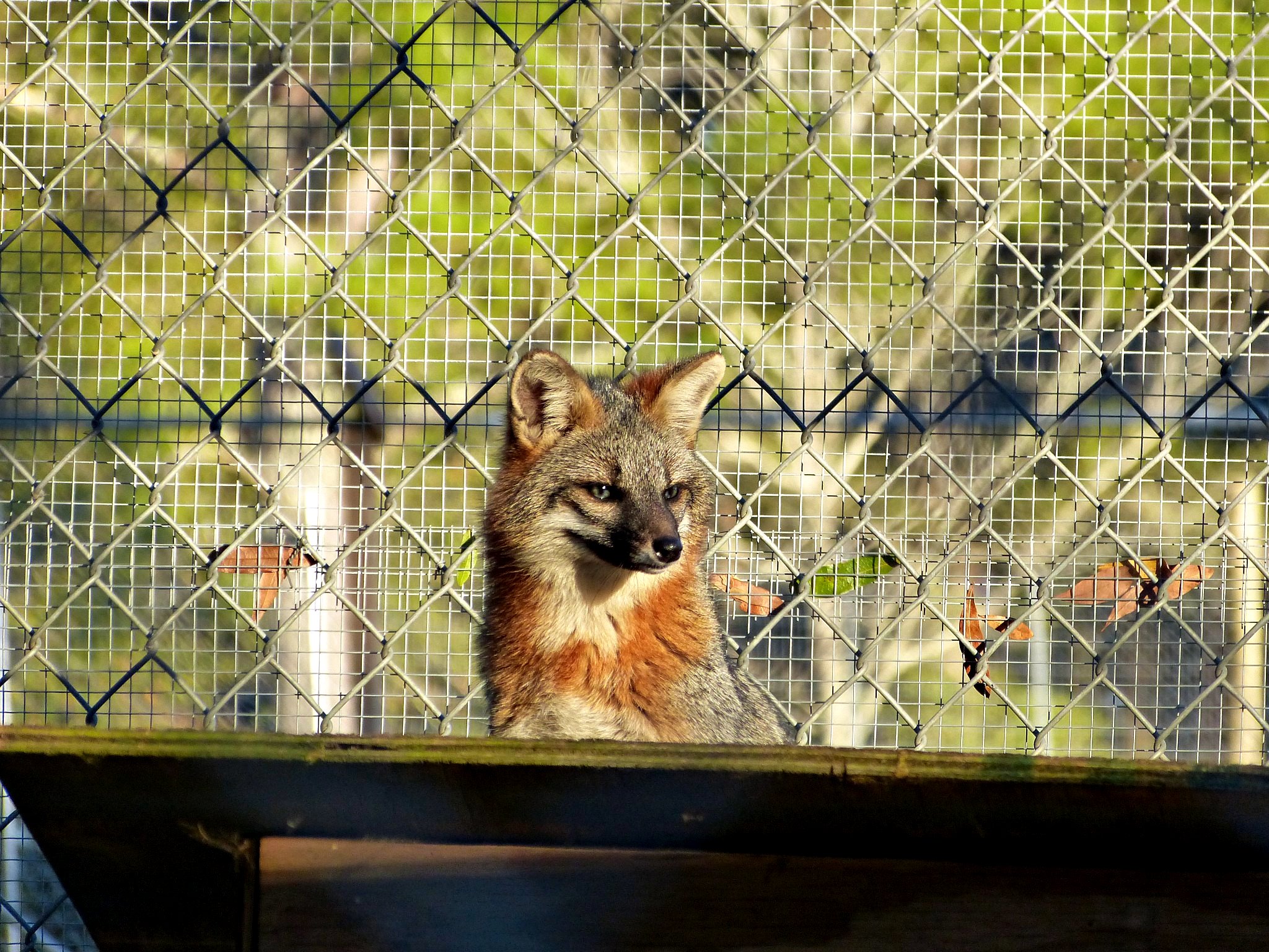
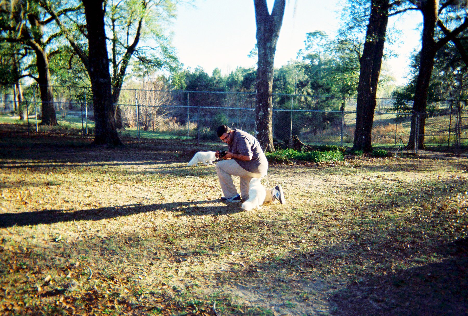
日出日落照片

Hightower Springs. Holmes Creek. Washington County FL
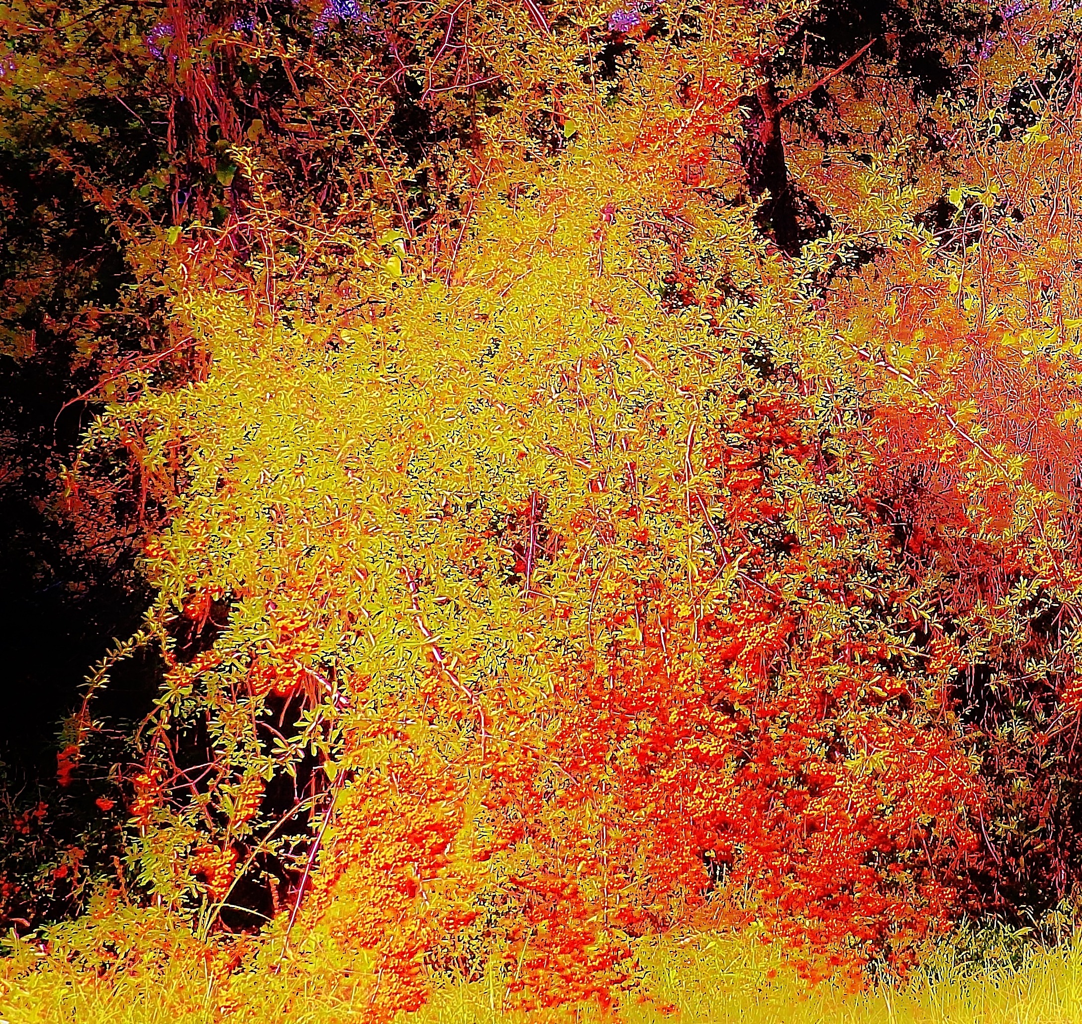
Colors of Fall

Gulf Coast Lupine

Gulf Coast Lupine

Gulf Coast Lupine

Gulf Coast Lupine

Gulf Coast Lupine

Gulf Coast Lupine

Gulf Coast Lupine

Gulf Coast Lupine

Gulf Coast Lupine

Gulf Coast Lupine

Gulf Coast Lupine
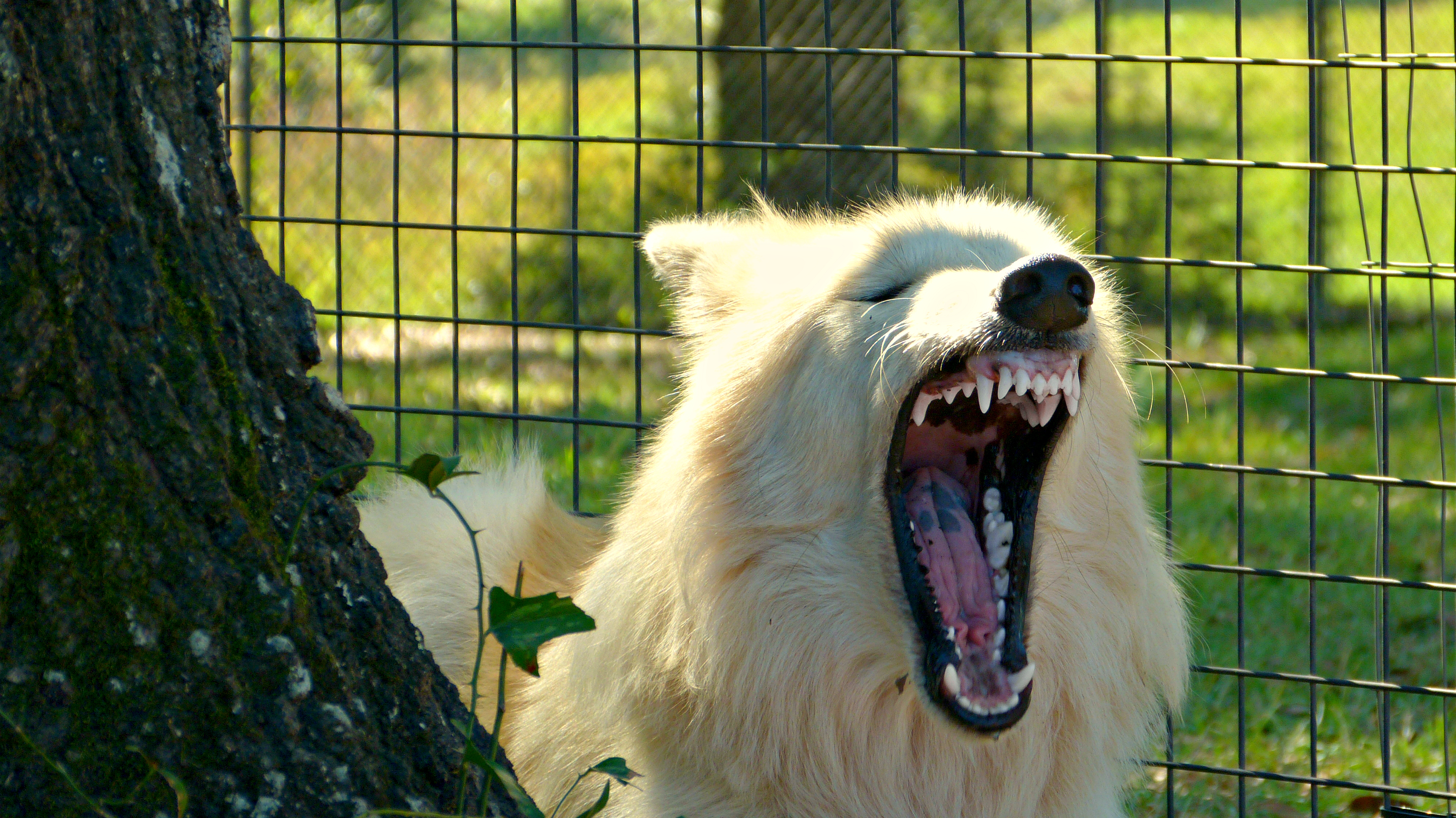
*Yawns*

Don't You Hear the Wolves Howling? I do.
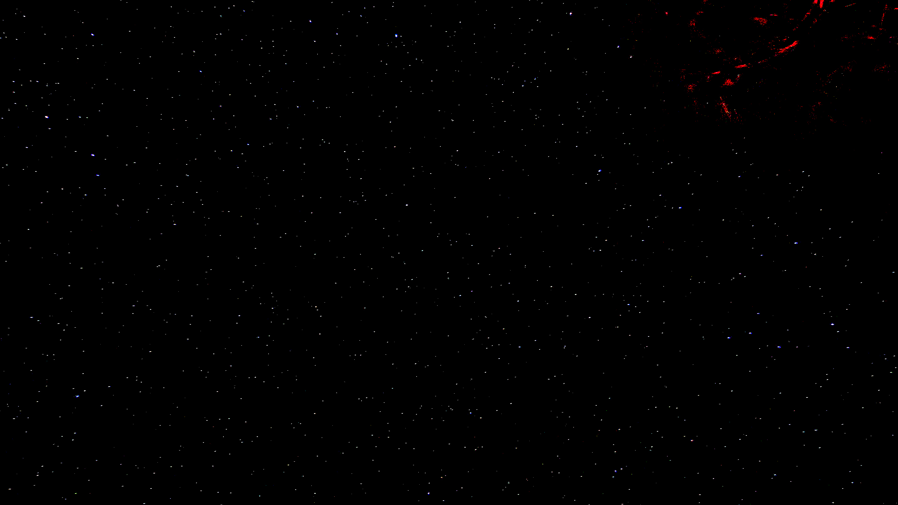
A Starry Sky...
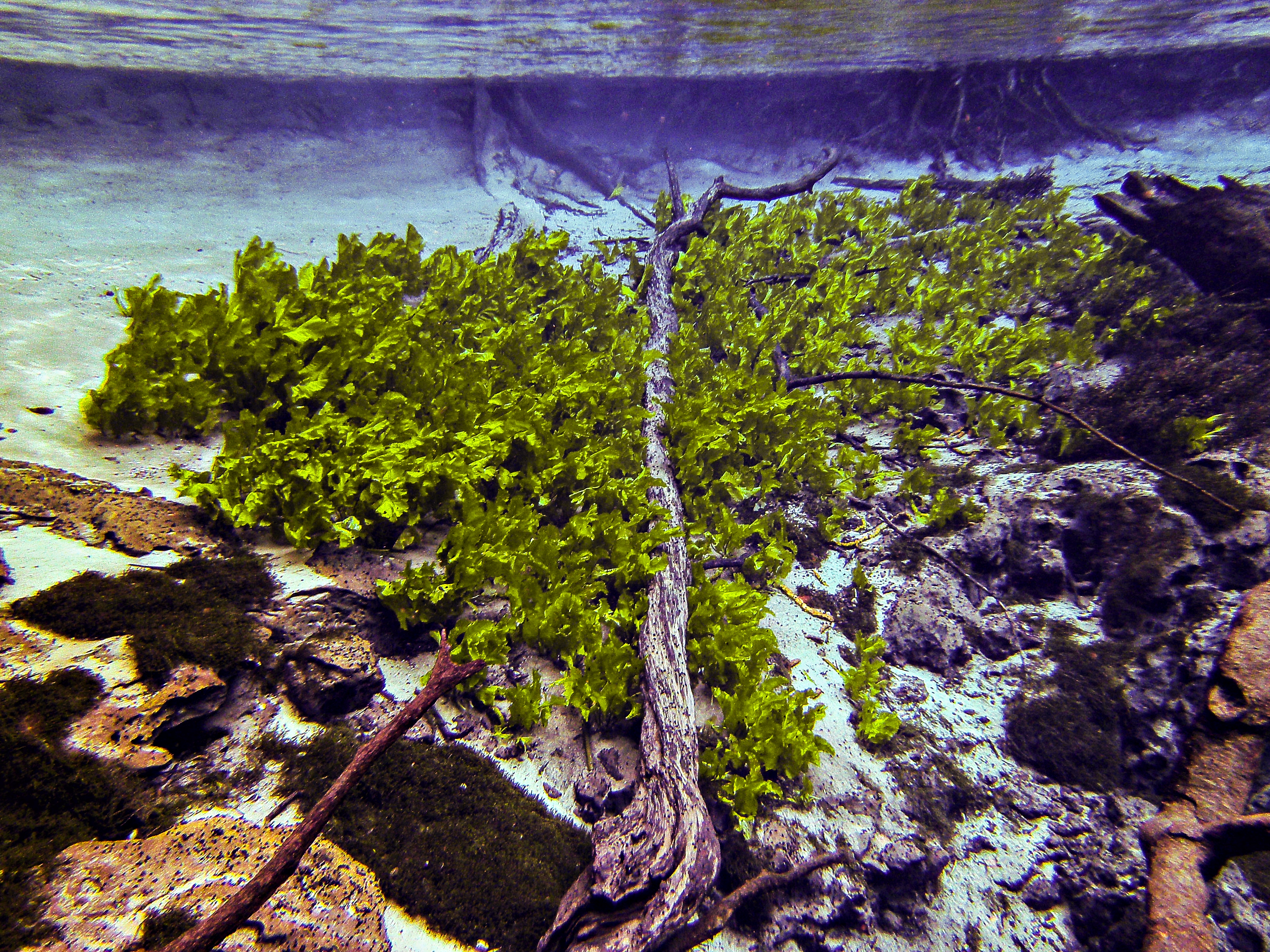
Twisted Trunk: Cypress Spring Head Basin

*Sticks Tongue Out at You*
I See...

I'm cute!

*Yawns*
R1-04299-008A
Alto Cir, Vernon, FL 美国的地图
查询其他地方的日出日落时间
附近地点
Sylvania Rd, Vernon, FL 美国
美国佛罗里达弗农
Cook Cir, Vernon, FL 美国
Bonnett Pond Rd, Chipley, FL 美国Seacrest Wolf Preserve
FL-79, Vernon, FL 美国
FL-77, Wausau, FL 美国
美国佛罗里达沃索
Firetower Rd, Florida 美国Firetower Road
Pate Pond Rd, Caryville, FL 美国
Washington Blvd, Chipley, FL 美国
Old Mill Rd, Chipley, FL 美国
Douglas Ferry Rd, Caryville, FL 美国
Douglas Ferry Rd, Caryville, FL 美国
Pate Pond Rd, Caryville, FL 美国
Wing Ln, Chipley, FL 美国Wing Lane
Pipkin Rd, Bonifay, FL 美国
Northride Ln, Bonifay, FL 美国
Thomas Dr, Bonifay, FL 美国
Orange Hill Rd, Chipley, FL 美国
Horne Pl, Chipley, FL 美国
最近搜索
- 中国广东省深圳市龙岗区海滨南路GFPQ+R9Q的日出日落时间表
- Redondo Ave, Long Beach, CA 美国的日出日落时间表
- Ulitsa Kalinina, 79, Rezh, Sverdlovskaya oblast', 俄罗斯的日出日落时间表
- Leguwa 尼泊尔的日出日落时间表
- Shustino, Vladimir Oblast, 俄罗斯的日出日落时间表
- Lampiasi St, Sarasota, FL 美国的日出日落时间表
- Japan, 〒- Toyama, Kubomotomachi, 12−31 APAガーデンコート稲荷的日出日落时间表
- 台湾宜兰县大同乡加罗湖的日出日落时间表
- 日本〒- 爱媛县今治市 Sekizenoge大下港的日出日落时间表
- -1 Sekizenōge, Imabari, Ehime -日本Oge port Ferry Terminal的日出日落时间表