Sunrise Sunset Times of W 4th Ave, San Manuel, AZ, USA
Location: United States > Arizona > Pinal County > San Manuel >
Timezone:
America/Phoenix
Current Time:
2024-05-03 13:02:14
Longitude:
-110.635851
Latitude:
32.604891
Sunrise Today:
05:31:46 AM
Sunset Today:
07:06:43 PM
Daylength Today:
13h 34m 57s
Sunrise Tomorrow:
05:30:53 AM
Sunset Tomorrow:
07:07:27 PM
Daylength Tomorrow:
13h 36m 34s
Year Show All Dates
| Date | Sunrise | Sunset | Daylength |
|---|---|---|---|
| 01/01/2024 | 07:24:36 AM | 05:28:10 PM | 10h 3m 34s |
| 01/02/2024 | 07:24:46 AM | 05:28:55 PM | 10h 4m 9s |
| 01/03/2024 | 07:24:55 AM | 05:29:41 PM | 10h 4m 46s |
| 01/04/2024 | 07:25:03 AM | 05:30:28 PM | 10h 5m 25s |
| 01/05/2024 | 07:25:08 AM | 05:31:16 PM | 10h 6m 8s |
| 01/06/2024 | 07:25:12 AM | 05:32:05 PM | 10h 6m 53s |
| 01/07/2024 | 07:25:14 AM | 05:32:54 PM | 10h 7m 40s |
| 01/08/2024 | 07:25:14 AM | 05:33:45 PM | 10h 8m 31s |
| 01/09/2024 | 07:25:12 AM | 05:34:36 PM | 10h 9m 24s |
| 01/10/2024 | 07:25:08 AM | 05:35:27 PM | 10h 10m 19s |
| 01/11/2024 | 07:25:03 AM | 05:36:19 PM | 10h 11m 16s |
| 01/12/2024 | 07:24:56 AM | 05:37:12 PM | 10h 12m 16s |
| 01/13/2024 | 07:24:47 AM | 05:38:06 PM | 10h 13m 19s |
| 01/14/2024 | 07:24:36 AM | 05:39:00 PM | 10h 14m 24s |
| 01/15/2024 | 07:24:24 AM | 05:39:54 PM | 10h 15m 30s |
| 01/16/2024 | 07:24:10 AM | 05:40:49 PM | 10h 16m 39s |
| 01/17/2024 | 07:23:54 AM | 05:41:44 PM | 10h 17m 50s |
| 01/18/2024 | 07:23:36 AM | 05:42:39 PM | 10h 19m 3s |
| 01/19/2024 | 07:23:16 AM | 05:43:35 PM | 10h 20m 19s |
| 01/20/2024 | 07:22:55 AM | 05:44:31 PM | 10h 21m 36s |
| 01/21/2024 | 07:22:32 AM | 05:45:27 PM | 10h 22m 55s |
| 01/22/2024 | 07:22:08 AM | 05:46:23 PM | 10h 24m 15s |
| 01/23/2024 | 07:21:41 AM | 05:47:20 PM | 10h 25m 39s |
| 01/24/2024 | 07:21:13 AM | 05:48:16 PM | 10h 27m 3s |
| 01/25/2024 | 07:20:44 AM | 05:49:13 PM | 10h 28m 29s |
| 01/26/2024 | 07:20:12 AM | 05:50:10 PM | 10h 29m 58s |
| 01/27/2024 | 07:19:39 AM | 05:51:06 PM | 10h 31m 27s |
| 01/28/2024 | 07:19:05 AM | 05:52:03 PM | 10h 32m 58s |
| 01/29/2024 | 07:18:29 AM | 05:53:00 PM | 10h 34m 31s |
| 01/30/2024 | 07:17:51 AM | 05:53:56 PM | 10h 36m 5s |
| 01/31/2024 | 07:17:12 AM | 05:54:52 PM | 10h 37m 40s |
| 02/01/2024 | 07:16:32 AM | 05:55:49 PM | 10h 39m 17s |
| 02/02/2024 | 07:15:49 AM | 05:56:45 PM | 10h 40m 56s |
| 02/03/2024 | 07:15:06 AM | 05:57:41 PM | 10h 42m 35s |
| 02/04/2024 | 07:14:21 AM | 05:58:36 PM | 10h 44m 15s |
| 02/05/2024 | 07:13:35 AM | 05:59:32 PM | 10h 45m 57s |
| 02/06/2024 | 07:12:47 AM | 06:00:27 PM | 10h 47m 40s |
| 02/07/2024 | 07:11:58 AM | 06:01:22 PM | 10h 49m 24s |
| 02/08/2024 | 07:11:07 AM | 06:02:17 PM | 10h 51m 10s |
| 02/09/2024 | 07:10:16 AM | 06:03:11 PM | 10h 52m 55s |
| 02/10/2024 | 07:09:23 AM | 06:04:05 PM | 10h 54m 42s |
| 02/11/2024 | 07:08:29 AM | 06:04:59 PM | 10h 56m 30s |
| 02/12/2024 | 07:07:33 AM | 06:05:53 PM | 10h 58m 20s |
| 02/13/2024 | 07:06:37 AM | 06:06:46 PM | 11h 0m 9s |
| 02/14/2024 | 07:05:39 AM | 06:07:39 PM | 11h 2m 0s |
| 02/15/2024 | 07:04:40 AM | 06:08:31 PM | 11h 3m 51s |
| 02/16/2024 | 07:03:41 AM | 06:09:23 PM | 11h 5m 42s |
| 02/17/2024 | 07:02:40 AM | 06:10:15 PM | 11h 7m 35s |
| 02/18/2024 | 07:01:38 AM | 06:11:07 PM | 11h 9m 29s |
| 02/19/2024 | 07:00:35 AM | 06:11:58 PM | 11h 11m 23s |
| 02/20/2024 | 06:59:31 AM | 06:12:48 PM | 11h 13m 17s |
| 02/21/2024 | 06:58:26 AM | 06:13:39 PM | 11h 15m 13s |
| 02/22/2024 | 06:57:21 AM | 06:14:29 PM | 11h 17m 8s |
| 02/23/2024 | 06:56:14 AM | 06:15:18 PM | 11h 19m 4s |
| 02/24/2024 | 06:55:07 AM | 06:16:08 PM | 11h 21m 1s |
| 02/25/2024 | 06:53:59 AM | 06:16:57 PM | 11h 22m 58s |
| 02/26/2024 | 06:52:50 AM | 06:17:45 PM | 11h 24m 55s |
| 02/27/2024 | 06:51:40 AM | 06:18:34 PM | 11h 26m 54s |
| 02/28/2024 | 06:50:30 AM | 06:19:21 PM | 11h 28m 51s |
| 02/29/2024 | 06:49:18 AM | 06:20:09 PM | 11h 30m 51s |
| 03/01/2024 | 06:48:07 AM | 06:20:56 PM | 11h 32m 49s |
| 03/02/2024 | 06:46:54 AM | 06:21:43 PM | 11h 34m 49s |
| 03/03/2024 | 06:45:41 AM | 06:22:30 PM | 11h 36m 49s |
| 03/04/2024 | 06:44:28 AM | 06:23:16 PM | 11h 38m 48s |
| 03/05/2024 | 06:43:14 AM | 06:24:02 PM | 11h 40m 48s |
| 03/06/2024 | 06:41:59 AM | 06:24:48 PM | 11h 42m 49s |
| 03/07/2024 | 06:40:44 AM | 06:25:33 PM | 11h 44m 49s |
| 03/08/2024 | 06:39:29 AM | 06:26:18 PM | 11h 46m 49s |
| 03/09/2024 | 06:38:13 AM | 06:27:03 PM | 11h 48m 50s |
| 03/10/2024 | 06:36:57 AM | 06:27:48 PM | 11h 50m 51s |
| 03/11/2024 | 06:35:40 AM | 06:28:32 PM | 11h 52m 52s |
| 03/12/2024 | 06:34:23 AM | 06:29:17 PM | 11h 54m 54s |
| 03/13/2024 | 06:33:06 AM | 06:30:01 PM | 11h 56m 55s |
| 03/14/2024 | 06:31:48 AM | 06:30:44 PM | 11h 58m 56s |
| 03/15/2024 | 06:30:30 AM | 06:31:28 PM | 12h 0m 58s |
| 03/16/2024 | 06:29:13 AM | 06:32:11 PM | 12h 2m 58s |
| 03/17/2024 | 06:27:54 AM | 06:32:55 PM | 12h 5m 1s |
| 03/18/2024 | 06:26:36 AM | 06:33:38 PM | 12h 7m 2s |
| 03/19/2024 | 06:25:18 AM | 06:34:21 PM | 12h 9m 3s |
| 03/20/2024 | 06:23:59 AM | 06:35:03 PM | 12h 11m 4s |
| 03/21/2024 | 06:22:41 AM | 06:35:46 PM | 12h 13m 5s |
| 03/22/2024 | 06:21:22 AM | 06:36:29 PM | 12h 15m 7s |
| 03/23/2024 | 06:20:04 AM | 06:37:11 PM | 12h 17m 7s |
| 03/24/2024 | 06:18:45 AM | 06:37:53 PM | 12h 19m 8s |
| 03/25/2024 | 06:17:26 AM | 06:38:36 PM | 12h 21m 10s |
| 03/26/2024 | 06:16:08 AM | 06:39:18 PM | 12h 23m 10s |
| 03/27/2024 | 06:14:50 AM | 06:40:00 PM | 12h 25m 10s |
| 03/28/2024 | 06:13:31 AM | 06:40:42 PM | 12h 27m 11s |
| 03/29/2024 | 06:12:13 AM | 06:41:24 PM | 12h 29m 11s |
| 03/30/2024 | 06:10:56 AM | 06:42:06 PM | 12h 31m 10s |
| 03/31/2024 | 06:09:38 AM | 06:42:48 PM | 12h 33m 10s |
| 04/01/2024 | 06:08:21 AM | 06:43:30 PM | 12h 35m 9s |
| 04/02/2024 | 06:07:04 AM | 06:44:13 PM | 12h 37m 9s |
| 04/03/2024 | 06:05:47 AM | 06:44:55 PM | 12h 39m 8s |
| 04/04/2024 | 06:04:30 AM | 06:45:37 PM | 12h 41m 7s |
| 04/05/2024 | 06:03:14 AM | 06:46:19 PM | 12h 43m 5s |
| 04/06/2024 | 06:01:59 AM | 06:47:01 PM | 12h 45m 2s |
| 04/07/2024 | 06:00:43 AM | 06:47:43 PM | 12h 47m 0s |
| 04/08/2024 | 05:59:29 AM | 06:48:26 PM | 12h 48m 57s |
| 04/09/2024 | 05:58:14 AM | 06:49:08 PM | 12h 50m 54s |
| 04/10/2024 | 05:57:01 AM | 06:49:50 PM | 12h 52m 49s |
| 04/11/2024 | 05:55:47 AM | 06:50:33 PM | 12h 54m 46s |
| 04/12/2024 | 05:54:35 AM | 06:51:15 PM | 12h 56m 40s |
| 04/13/2024 | 05:53:23 AM | 06:51:58 PM | 12h 58m 35s |
| 04/14/2024 | 05:52:11 AM | 06:52:41 PM | 13h 0m 30s |
| 04/15/2024 | 05:51:00 AM | 06:53:23 PM | 13h 2m 23s |
| 04/16/2024 | 05:49:50 AM | 06:54:06 PM | 13h 4m 16s |
| 04/17/2024 | 05:48:40 AM | 06:54:49 PM | 13h 6m 9s |
| 04/18/2024 | 05:47:32 AM | 06:55:32 PM | 13h 8m 0s |
| 04/19/2024 | 05:46:24 AM | 06:56:16 PM | 13h 9m 52s |
| 04/20/2024 | 05:45:17 AM | 06:56:59 PM | 13h 11m 42s |
| 04/21/2024 | 05:44:10 AM | 06:57:42 PM | 13h 13m 32s |
| 04/22/2024 | 05:43:05 AM | 06:58:26 PM | 13h 15m 21s |
| 04/23/2024 | 05:42:00 AM | 06:59:09 PM | 13h 17m 9s |
| 04/24/2024 | 05:40:56 AM | 06:59:53 PM | 13h 18m 57s |
| 04/25/2024 | 05:39:53 AM | 07:00:36 PM | 13h 20m 43s |
| 04/26/2024 | 05:38:51 AM | 07:01:20 PM | 13h 22m 29s |
| 04/27/2024 | 05:37:50 AM | 07:02:04 PM | 13h 24m 14s |
| 04/28/2024 | 05:36:50 AM | 07:02:47 PM | 13h 25m 57s |
| 04/29/2024 | 05:35:51 AM | 07:03:31 PM | 13h 27m 40s |
| 04/30/2024 | 05:34:53 AM | 07:04:15 PM | 13h 29m 22s |
| 05/01/2024 | 05:33:56 AM | 07:04:59 PM | 13h 31m 3s |
| 05/02/2024 | 05:33:01 AM | 07:05:43 PM | 13h 32m 42s |
| 05/03/2024 | 05:32:06 AM | 07:06:27 PM | 13h 34m 21s |
| 05/04/2024 | 05:31:13 AM | 07:07:11 PM | 13h 35m 58s |
| 05/05/2024 | 05:30:20 AM | 07:07:54 PM | 13h 37m 34s |
| 05/06/2024 | 05:29:29 AM | 07:08:38 PM | 13h 39m 9s |
| 05/07/2024 | 05:28:39 AM | 07:09:22 PM | 13h 40m 43s |
| 05/08/2024 | 05:27:51 AM | 07:10:05 PM | 13h 42m 14s |
| 05/09/2024 | 05:27:03 AM | 07:10:49 PM | 13h 43m 46s |
| 05/10/2024 | 05:26:17 AM | 07:11:32 PM | 13h 45m 15s |
| 05/11/2024 | 05:25:32 AM | 07:12:15 PM | 13h 46m 43s |
| 05/12/2024 | 05:24:49 AM | 07:12:58 PM | 13h 48m 9s |
| 05/13/2024 | 05:24:06 AM | 07:13:41 PM | 13h 49m 35s |
| 05/14/2024 | 05:23:26 AM | 07:14:24 PM | 13h 50m 58s |
| 05/15/2024 | 05:22:46 AM | 07:15:06 PM | 13h 52m 20s |
| 05/16/2024 | 05:22:08 AM | 07:15:48 PM | 13h 53m 40s |
| 05/17/2024 | 05:21:31 AM | 07:16:30 PM | 13h 54m 59s |
| 05/18/2024 | 05:20:56 AM | 07:17:11 PM | 13h 56m 15s |
| 05/19/2024 | 05:20:22 AM | 07:17:52 PM | 13h 57m 30s |
| 05/20/2024 | 05:19:50 AM | 07:18:33 PM | 13h 58m 43s |
| 05/21/2024 | 05:19:19 AM | 07:19:13 PM | 13h 59m 54s |
| 05/22/2024 | 05:18:50 AM | 07:19:53 PM | 14h 1m 3s |
| 05/23/2024 | 05:18:22 AM | 07:20:32 PM | 14h 2m 10s |
| 05/24/2024 | 05:17:55 AM | 07:21:11 PM | 14h 3m 16s |
| 05/25/2024 | 05:17:30 AM | 07:21:49 PM | 14h 4m 19s |
| 05/26/2024 | 05:17:07 AM | 07:22:27 PM | 14h 5m 20s |
| 05/27/2024 | 05:16:45 AM | 07:23:04 PM | 14h 6m 19s |
| 05/28/2024 | 05:16:25 AM | 07:23:41 PM | 14h 7m 16s |
| 05/29/2024 | 05:16:06 AM | 07:24:16 PM | 14h 8m 10s |
| 05/30/2024 | 05:15:49 AM | 07:24:51 PM | 14h 9m 2s |
| 05/31/2024 | 05:15:33 AM | 07:25:26 PM | 14h 9m 53s |
| 06/01/2024 | 05:15:19 AM | 07:25:59 PM | 14h 10m 40s |
| 06/02/2024 | 05:15:06 AM | 07:26:32 PM | 14h 11m 26s |
| 06/03/2024 | 05:14:55 AM | 07:27:04 PM | 14h 12m 9s |
| 06/04/2024 | 05:14:45 AM | 07:27:35 PM | 14h 12m 50s |
| 06/05/2024 | 05:14:37 AM | 07:28:05 PM | 14h 13m 28s |
| 06/06/2024 | 05:14:31 AM | 07:28:34 PM | 14h 14m 3s |
| 06/07/2024 | 05:14:26 AM | 07:29:03 PM | 14h 14m 37s |
| 06/08/2024 | 05:14:22 AM | 07:29:30 PM | 14h 15m 8s |
| 06/09/2024 | 05:14:20 AM | 07:29:56 PM | 14h 15m 36s |
| 06/10/2024 | 05:14:19 AM | 07:30:21 PM | 14h 16m 2s |
| 06/11/2024 | 05:14:20 AM | 07:30:45 PM | 14h 16m 25s |
| 06/12/2024 | 05:14:23 AM | 07:31:08 PM | 14h 16m 45s |
| 06/13/2024 | 05:14:26 AM | 07:31:30 PM | 14h 17m 4s |
| 06/14/2024 | 05:14:32 AM | 07:31:50 PM | 14h 17m 18s |
| 06/15/2024 | 05:14:38 AM | 07:32:09 PM | 14h 17m 31s |
| 06/16/2024 | 05:14:46 AM | 07:32:27 PM | 14h 17m 41s |
| 06/17/2024 | 05:14:56 AM | 07:32:44 PM | 14h 17m 48s |
| 06/18/2024 | 05:15:06 AM | 07:33:00 PM | 14h 17m 54s |
| 06/19/2024 | 05:15:19 AM | 07:33:14 PM | 14h 17m 55s |
| 06/20/2024 | 05:15:32 AM | 07:33:26 PM | 14h 17m 54s |
| 06/21/2024 | 05:15:47 AM | 07:33:38 PM | 14h 17m 51s |
| 06/22/2024 | 05:16:02 AM | 07:33:48 PM | 14h 17m 46s |
| 06/23/2024 | 05:16:20 AM | 07:33:56 PM | 14h 17m 36s |
| 06/24/2024 | 05:16:38 AM | 07:34:03 PM | 14h 17m 25s |
| 06/25/2024 | 05:16:57 AM | 07:34:09 PM | 14h 17m 12s |
| 06/26/2024 | 05:17:18 AM | 07:34:13 PM | 14h 16m 55s |
| 06/27/2024 | 05:17:40 AM | 07:34:16 PM | 14h 16m 36s |
| 06/28/2024 | 05:18:03 AM | 07:34:17 PM | 14h 16m 14s |
| 06/29/2024 | 05:18:27 AM | 07:34:17 PM | 14h 15m 50s |
| 06/30/2024 | 05:18:52 AM | 07:34:15 PM | 14h 15m 23s |
| 07/01/2024 | 05:19:17 AM | 07:34:11 PM | 14h 14m 54s |
| 07/02/2024 | 05:19:44 AM | 07:34:06 PM | 14h 14m 22s |
| 07/03/2024 | 05:20:12 AM | 07:34:00 PM | 14h 13m 48s |
| 07/04/2024 | 05:20:41 AM | 07:33:52 PM | 14h 13m 11s |
| 07/05/2024 | 05:21:10 AM | 07:33:42 PM | 14h 12m 32s |
| 07/06/2024 | 05:21:41 AM | 07:33:31 PM | 14h 11m 50s |
| 07/07/2024 | 05:22:12 AM | 07:33:18 PM | 14h 11m 6s |
| 07/08/2024 | 05:22:44 AM | 07:33:04 PM | 14h 10m 20s |
| 07/09/2024 | 05:23:16 AM | 07:32:48 PM | 14h 9m 32s |
| 07/10/2024 | 05:23:49 AM | 07:32:30 PM | 14h 8m 41s |
| 07/11/2024 | 05:24:23 AM | 07:32:11 PM | 14h 7m 48s |
| 07/12/2024 | 05:24:58 AM | 07:31:50 PM | 14h 6m 52s |
| 07/13/2024 | 05:25:33 AM | 07:31:28 PM | 14h 5m 55s |
| 07/14/2024 | 05:26:09 AM | 07:31:04 PM | 14h 4m 55s |
| 07/15/2024 | 05:26:45 AM | 07:30:39 PM | 14h 3m 54s |
| 07/16/2024 | 05:27:22 AM | 07:30:12 PM | 14h 2m 50s |
| 07/17/2024 | 05:27:59 AM | 07:29:43 PM | 14h 1m 44s |
| 07/18/2024 | 05:28:36 AM | 07:29:13 PM | 14h 0m 37s |
| 07/19/2024 | 05:29:14 AM | 07:28:42 PM | 13h 59m 28s |
| 07/20/2024 | 05:29:53 AM | 07:28:09 PM | 13h 58m 16s |
| 07/21/2024 | 05:30:31 AM | 07:27:35 PM | 13h 57m 4s |
| 07/22/2024 | 05:31:10 AM | 07:26:59 PM | 13h 55m 49s |
| 07/23/2024 | 05:31:50 AM | 07:26:21 PM | 13h 54m 31s |
| 07/24/2024 | 05:32:29 AM | 07:25:42 PM | 13h 53m 13s |
| 07/25/2024 | 05:33:09 AM | 07:25:02 PM | 13h 51m 53s |
| 07/26/2024 | 05:33:49 AM | 07:24:21 PM | 13h 50m 32s |
| 07/27/2024 | 05:34:29 AM | 07:23:38 PM | 13h 49m 9s |
| 07/28/2024 | 05:35:09 AM | 07:22:53 PM | 13h 47m 44s |
| 07/29/2024 | 05:35:49 AM | 07:22:07 PM | 13h 46m 18s |
| 07/30/2024 | 05:36:30 AM | 07:21:20 PM | 13h 44m 50s |
| 07/31/2024 | 05:37:11 AM | 07:20:32 PM | 13h 43m 21s |
| 08/01/2024 | 05:37:51 AM | 07:19:42 PM | 13h 41m 51s |
| 08/02/2024 | 05:38:32 AM | 07:18:51 PM | 13h 40m 19s |
| 08/03/2024 | 05:39:13 AM | 07:17:59 PM | 13h 38m 46s |
| 08/04/2024 | 05:39:53 AM | 07:17:06 PM | 13h 37m 13s |
| 08/05/2024 | 05:40:34 AM | 07:16:11 PM | 13h 35m 37s |
| 08/06/2024 | 05:41:15 AM | 07:15:16 PM | 13h 34m 1s |
| 08/07/2024 | 05:41:56 AM | 07:14:19 PM | 13h 32m 23s |
| 08/08/2024 | 05:42:36 AM | 07:13:21 PM | 13h 30m 45s |
| 08/09/2024 | 05:43:17 AM | 07:12:22 PM | 13h 29m 5s |
| 08/10/2024 | 05:43:58 AM | 07:11:21 PM | 13h 27m 23s |
| 08/11/2024 | 05:44:38 AM | 07:10:20 PM | 13h 25m 42s |
| 08/12/2024 | 05:45:19 AM | 07:09:18 PM | 13h 23m 59s |
| 08/13/2024 | 05:45:59 AM | 07:08:15 PM | 13h 22m 16s |
| 08/14/2024 | 05:46:39 AM | 07:07:11 PM | 13h 20m 32s |
| 08/15/2024 | 05:47:19 AM | 07:06:05 PM | 13h 18m 46s |
| 08/16/2024 | 05:47:59 AM | 07:04:59 PM | 13h 17m 0s |
| 08/17/2024 | 05:48:39 AM | 07:03:52 PM | 13h 15m 13s |
| 08/18/2024 | 05:49:19 AM | 07:02:45 PM | 13h 13m 26s |
| 08/19/2024 | 05:49:59 AM | 07:01:36 PM | 13h 11m 37s |
| 08/20/2024 | 05:50:38 AM | 07:00:26 PM | 13h 9m 48s |
| 08/21/2024 | 05:51:18 AM | 06:59:16 PM | 13h 7m 58s |
| 08/22/2024 | 05:51:57 AM | 06:58:05 PM | 13h 6m 8s |
| 08/23/2024 | 05:52:36 AM | 06:56:53 PM | 13h 4m 17s |
| 08/24/2024 | 05:53:15 AM | 06:55:41 PM | 13h 2m 26s |
| 08/25/2024 | 05:53:54 AM | 06:54:28 PM | 13h 0m 34s |
| 08/26/2024 | 05:54:33 AM | 06:53:14 PM | 12h 58m 41s |
| 08/27/2024 | 05:55:12 AM | 06:52:00 PM | 12h 56m 48s |
| 08/28/2024 | 05:55:50 AM | 06:50:45 PM | 12h 54m 55s |
| 08/29/2024 | 05:56:29 AM | 06:49:29 PM | 12h 53m 0s |
| 08/30/2024 | 05:57:07 AM | 06:48:13 PM | 12h 51m 6s |
| 08/31/2024 | 05:57:46 AM | 06:46:56 PM | 12h 49m 10s |
| 09/01/2024 | 05:58:24 AM | 06:45:39 PM | 12h 47m 15s |
| 09/02/2024 | 05:59:02 AM | 06:44:22 PM | 12h 45m 20s |
| 09/03/2024 | 05:59:40 AM | 06:43:04 PM | 12h 43m 24s |
| 09/04/2024 | 06:00:18 AM | 06:41:46 PM | 12h 41m 28s |
| 09/05/2024 | 06:00:56 AM | 06:40:27 PM | 12h 39m 31s |
| 09/06/2024 | 06:01:34 AM | 06:39:08 PM | 12h 37m 34s |
| 09/07/2024 | 06:02:12 AM | 06:37:48 PM | 12h 35m 36s |
| 09/08/2024 | 06:02:50 AM | 06:36:29 PM | 12h 33m 39s |
| 09/09/2024 | 06:03:28 AM | 06:35:09 PM | 12h 31m 41s |
| 09/10/2024 | 06:04:06 AM | 06:33:49 PM | 12h 29m 43s |
| 09/11/2024 | 06:04:44 AM | 06:32:28 PM | 12h 27m 44s |
| 09/12/2024 | 06:05:21 AM | 06:31:08 PM | 12h 25m 47s |
| 09/13/2024 | 06:05:59 AM | 06:29:47 PM | 12h 23m 48s |
| 09/14/2024 | 06:06:37 AM | 06:28:26 PM | 12h 21m 49s |
| 09/15/2024 | 06:07:15 AM | 06:27:05 PM | 12h 19m 50s |
| 09/16/2024 | 06:07:53 AM | 06:25:44 PM | 12h 17m 51s |
| 09/17/2024 | 06:08:32 AM | 06:24:23 PM | 12h 15m 51s |
| 09/18/2024 | 06:09:10 AM | 06:23:02 PM | 12h 13m 52s |
| 09/19/2024 | 06:09:48 AM | 06:21:41 PM | 12h 11m 53s |
| 09/20/2024 | 06:10:27 AM | 06:20:20 PM | 12h 9m 53s |
| 09/21/2024 | 06:11:05 AM | 06:19:00 PM | 12h 7m 55s |
| 09/22/2024 | 06:11:44 AM | 06:17:39 PM | 12h 5m 55s |
| 09/23/2024 | 06:12:23 AM | 06:16:18 PM | 12h 3m 55s |
| 09/24/2024 | 06:13:02 AM | 06:14:58 PM | 12h 1m 56s |
| 09/25/2024 | 06:13:41 AM | 06:13:37 PM | 11h 59m 56s |
| 09/26/2024 | 06:14:20 AM | 06:12:17 PM | 11h 57m 57s |
| 09/27/2024 | 06:15:00 AM | 06:10:58 PM | 11h 55m 58s |
| 09/28/2024 | 06:15:40 AM | 06:09:38 PM | 11h 53m 58s |
| 09/29/2024 | 06:16:20 AM | 06:08:19 PM | 11h 51m 59s |
| 09/30/2024 | 06:17:00 AM | 06:07:00 PM | 11h 50m 0s |
| 10/01/2024 | 06:17:41 AM | 06:05:41 PM | 11h 48m 0s |
| 10/02/2024 | 06:18:21 AM | 06:04:23 PM | 11h 46m 2s |
| 10/03/2024 | 06:19:02 AM | 06:03:05 PM | 11h 44m 3s |
| 10/04/2024 | 06:19:44 AM | 06:01:48 PM | 11h 42m 4s |
| 10/05/2024 | 06:20:25 AM | 06:00:31 PM | 11h 40m 6s |
| 10/06/2024 | 06:21:07 AM | 05:59:15 PM | 11h 38m 8s |
| 10/07/2024 | 06:21:50 AM | 05:57:59 PM | 11h 36m 9s |
| 10/08/2024 | 06:22:32 AM | 05:56:44 PM | 11h 34m 12s |
| 10/09/2024 | 06:23:15 AM | 05:55:30 PM | 11h 32m 15s |
| 10/10/2024 | 06:23:58 AM | 05:54:16 PM | 11h 30m 18s |
| 10/11/2024 | 06:24:42 AM | 05:53:02 PM | 11h 28m 20s |
| 10/12/2024 | 06:25:26 AM | 05:51:50 PM | 11h 26m 24s |
| 10/13/2024 | 06:26:10 AM | 05:50:38 PM | 11h 24m 28s |
| 10/14/2024 | 06:26:55 AM | 05:49:27 PM | 11h 22m 32s |
| 10/15/2024 | 06:27:40 AM | 05:48:16 PM | 11h 20m 36s |
| 10/16/2024 | 06:28:25 AM | 05:47:07 PM | 11h 18m 42s |
| 10/17/2024 | 06:29:11 AM | 05:45:58 PM | 11h 16m 47s |
| 10/18/2024 | 06:29:57 AM | 05:44:50 PM | 11h 14m 53s |
| 10/19/2024 | 06:30:44 AM | 05:43:43 PM | 11h 12m 59s |
| 10/20/2024 | 06:31:30 AM | 05:42:37 PM | 11h 11m 7s |
| 10/21/2024 | 06:32:18 AM | 05:41:32 PM | 11h 9m 14s |
| 10/22/2024 | 06:33:05 AM | 05:40:28 PM | 11h 7m 23s |
| 10/23/2024 | 06:33:54 AM | 05:39:25 PM | 11h 5m 31s |
| 10/24/2024 | 06:34:42 AM | 05:38:23 PM | 11h 3m 41s |
| 10/25/2024 | 06:35:31 AM | 05:37:22 PM | 11h 1m 51s |
| 10/26/2024 | 06:36:20 AM | 05:36:22 PM | 11h 0m 2s |
| 10/27/2024 | 06:37:10 AM | 05:35:24 PM | 10h 58m 14s |
| 10/28/2024 | 06:38:00 AM | 05:34:26 PM | 10h 56m 26s |
| 10/29/2024 | 06:38:50 AM | 05:33:30 PM | 10h 54m 40s |
| 10/30/2024 | 06:39:41 AM | 05:32:35 PM | 10h 52m 54s |
| 10/31/2024 | 06:40:32 AM | 05:31:41 PM | 10h 51m 9s |
| 11/01/2024 | 06:41:23 AM | 05:30:48 PM | 10h 49m 25s |
| 11/02/2024 | 06:42:15 AM | 05:29:57 PM | 10h 47m 42s |
| 11/03/2024 | 06:43:07 AM | 05:29:07 PM | 10h 46m 0s |
| 11/04/2024 | 06:43:59 AM | 05:28:19 PM | 10h 44m 20s |
| 11/05/2024 | 06:44:51 AM | 05:27:32 PM | 10h 42m 41s |
| 11/06/2024 | 06:45:44 AM | 05:26:46 PM | 10h 41m 2s |
| 11/07/2024 | 06:46:37 AM | 05:26:02 PM | 10h 39m 25s |
| 11/08/2024 | 06:47:30 AM | 05:25:19 PM | 10h 37m 49s |
| 11/09/2024 | 06:48:24 AM | 05:24:38 PM | 10h 36m 14s |
| 11/10/2024 | 06:49:17 AM | 05:23:58 PM | 10h 34m 41s |
| 11/11/2024 | 06:50:11 AM | 05:23:20 PM | 10h 33m 9s |
| 11/12/2024 | 06:51:05 AM | 05:22:43 PM | 10h 31m 38s |
| 11/13/2024 | 06:51:59 AM | 05:22:08 PM | 10h 30m 9s |
| 11/14/2024 | 06:52:53 AM | 05:21:35 PM | 10h 28m 42s |
| 11/15/2024 | 06:53:47 AM | 05:21:03 PM | 10h 27m 16s |
| 11/16/2024 | 06:54:41 AM | 05:20:33 PM | 10h 25m 52s |
| 11/17/2024 | 06:55:35 AM | 05:20:04 PM | 10h 24m 29s |
| 11/18/2024 | 06:56:29 AM | 05:19:38 PM | 10h 23m 9s |
| 11/19/2024 | 06:57:22 AM | 05:19:13 PM | 10h 21m 51s |
| 11/20/2024 | 06:58:16 AM | 05:18:49 PM | 10h 20m 33s |
| 11/21/2024 | 06:59:10 AM | 05:18:28 PM | 10h 19m 18s |
| 11/22/2024 | 07:00:03 AM | 05:18:08 PM | 10h 18m 5s |
| 11/23/2024 | 07:00:56 AM | 05:17:50 PM | 10h 16m 54s |
| 11/24/2024 | 07:01:49 AM | 05:17:34 PM | 10h 15m 45s |
| 11/25/2024 | 07:02:41 AM | 05:17:20 PM | 10h 14m 39s |
| 11/26/2024 | 07:03:34 AM | 05:17:07 PM | 10h 13m 33s |
| 11/27/2024 | 07:04:25 AM | 05:16:57 PM | 10h 12m 32s |
| 11/28/2024 | 07:05:17 AM | 05:16:48 PM | 10h 11m 31s |
| 11/29/2024 | 07:06:08 AM | 05:16:41 PM | 10h 10m 33s |
| 11/30/2024 | 07:06:58 AM | 05:16:36 PM | 10h 9m 38s |
| 12/01/2024 | 07:07:48 AM | 05:16:32 PM | 10h 8m 44s |
| 12/02/2024 | 07:08:37 AM | 05:16:31 PM | 10h 7m 54s |
| 12/03/2024 | 07:09:25 AM | 05:16:31 PM | 10h 7m 6s |
| 12/04/2024 | 07:10:13 AM | 05:16:33 PM | 10h 6m 20s |
| 12/05/2024 | 07:11:00 AM | 05:16:37 PM | 10h 5m 37s |
| 12/06/2024 | 07:11:46 AM | 05:16:43 PM | 10h 4m 57s |
| 12/07/2024 | 07:12:31 AM | 05:16:50 PM | 10h 4m 19s |
| 12/08/2024 | 07:13:15 AM | 05:17:00 PM | 10h 3m 45s |
| 12/09/2024 | 07:13:59 AM | 05:17:11 PM | 10h 3m 12s |
| 12/10/2024 | 07:14:41 AM | 05:17:24 PM | 10h 2m 43s |
| 12/11/2024 | 07:15:23 AM | 05:17:38 PM | 10h 2m 15s |
| 12/12/2024 | 07:16:03 AM | 05:17:55 PM | 10h 1m 52s |
| 12/13/2024 | 07:16:42 AM | 05:18:13 PM | 10h 1m 31s |
| 12/14/2024 | 07:17:20 AM | 05:18:33 PM | 10h 1m 13s |
| 12/15/2024 | 07:17:57 AM | 05:18:54 PM | 10h 0m 57s |
| 12/16/2024 | 07:18:33 AM | 05:19:17 PM | 10h 0m 44s |
| 12/17/2024 | 07:19:07 AM | 05:19:42 PM | 10h 0m 35s |
| 12/18/2024 | 07:19:40 AM | 05:20:08 PM | 10h 0m 28s |
| 12/19/2024 | 07:20:12 AM | 05:20:36 PM | 10h 0m 24s |
| 12/20/2024 | 07:20:42 AM | 05:21:06 PM | 10h 0m 24s |
| 12/21/2024 | 07:21:11 AM | 05:21:37 PM | 10h 0m 26s |
| 12/22/2024 | 07:21:38 AM | 05:22:09 PM | 10h 0m 31s |
| 12/23/2024 | 07:22:04 AM | 05:22:43 PM | 10h 0m 39s |
| 12/24/2024 | 07:22:28 AM | 05:23:18 PM | 10h 0m 50s |
| 12/25/2024 | 07:22:51 AM | 05:23:54 PM | 10h 1m 3s |
| 12/26/2024 | 07:23:12 AM | 05:24:32 PM | 10h 1m 20s |
| 12/27/2024 | 07:23:31 AM | 05:25:11 PM | 10h 1m 40s |
| 12/28/2024 | 07:23:49 AM | 05:25:52 PM | 10h 2m 3s |
| 12/29/2024 | 07:24:05 AM | 05:26:33 PM | 10h 2m 28s |
| 12/30/2024 | 07:24:20 AM | 05:27:16 PM | 10h 2m 56s |
Sunrise & Sunset Photos

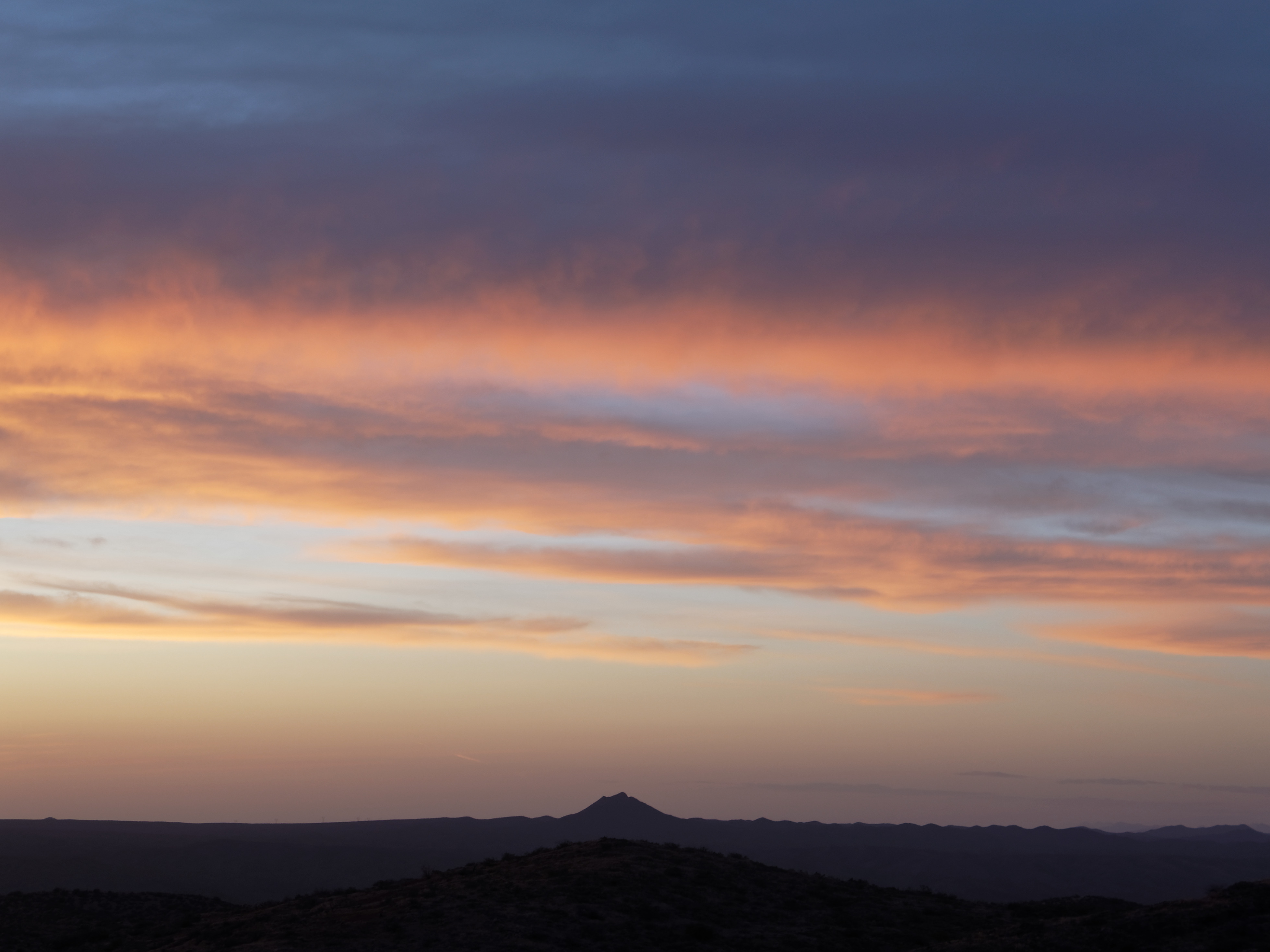
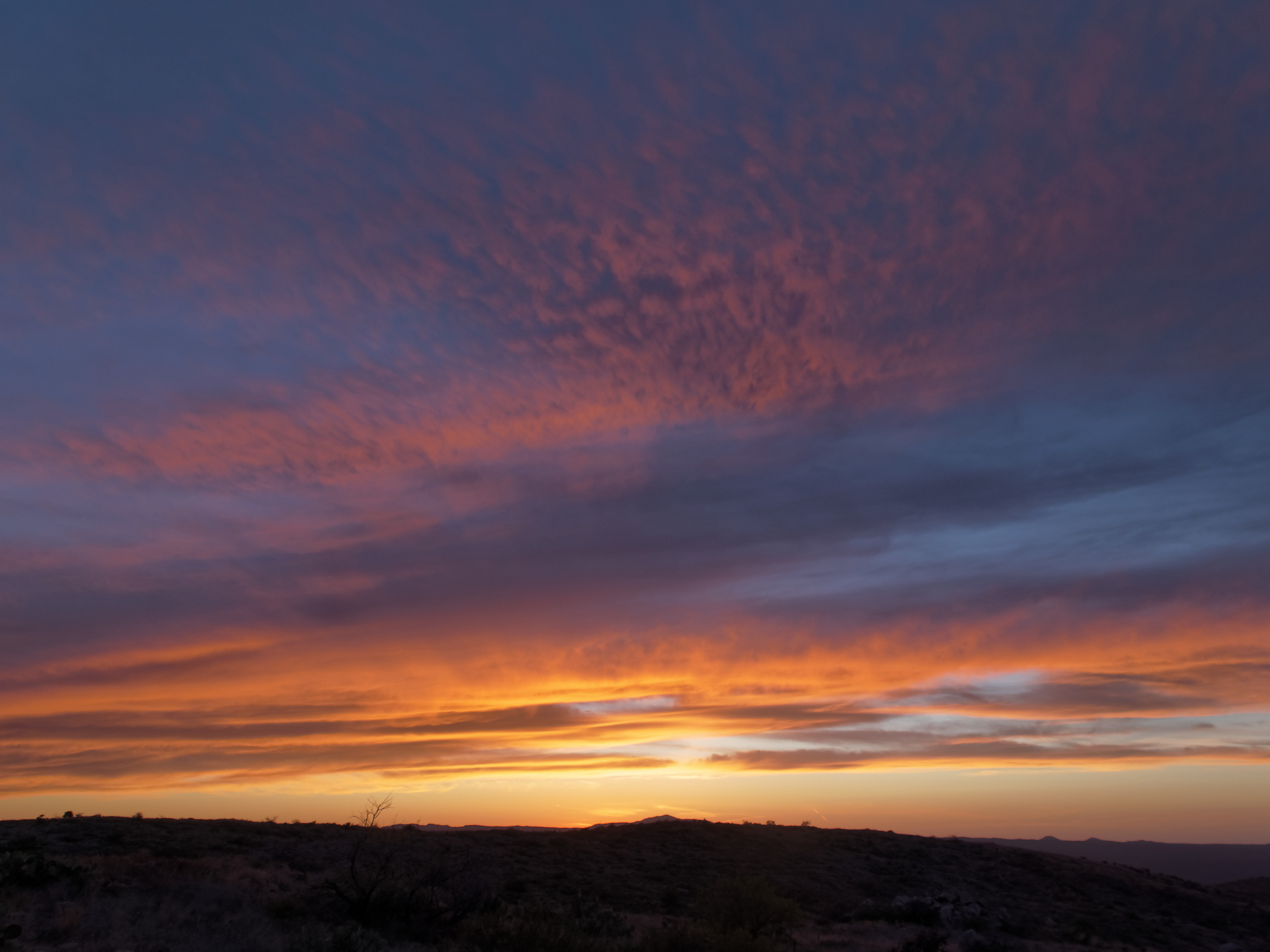
Sunset over the Galiuro Mountains
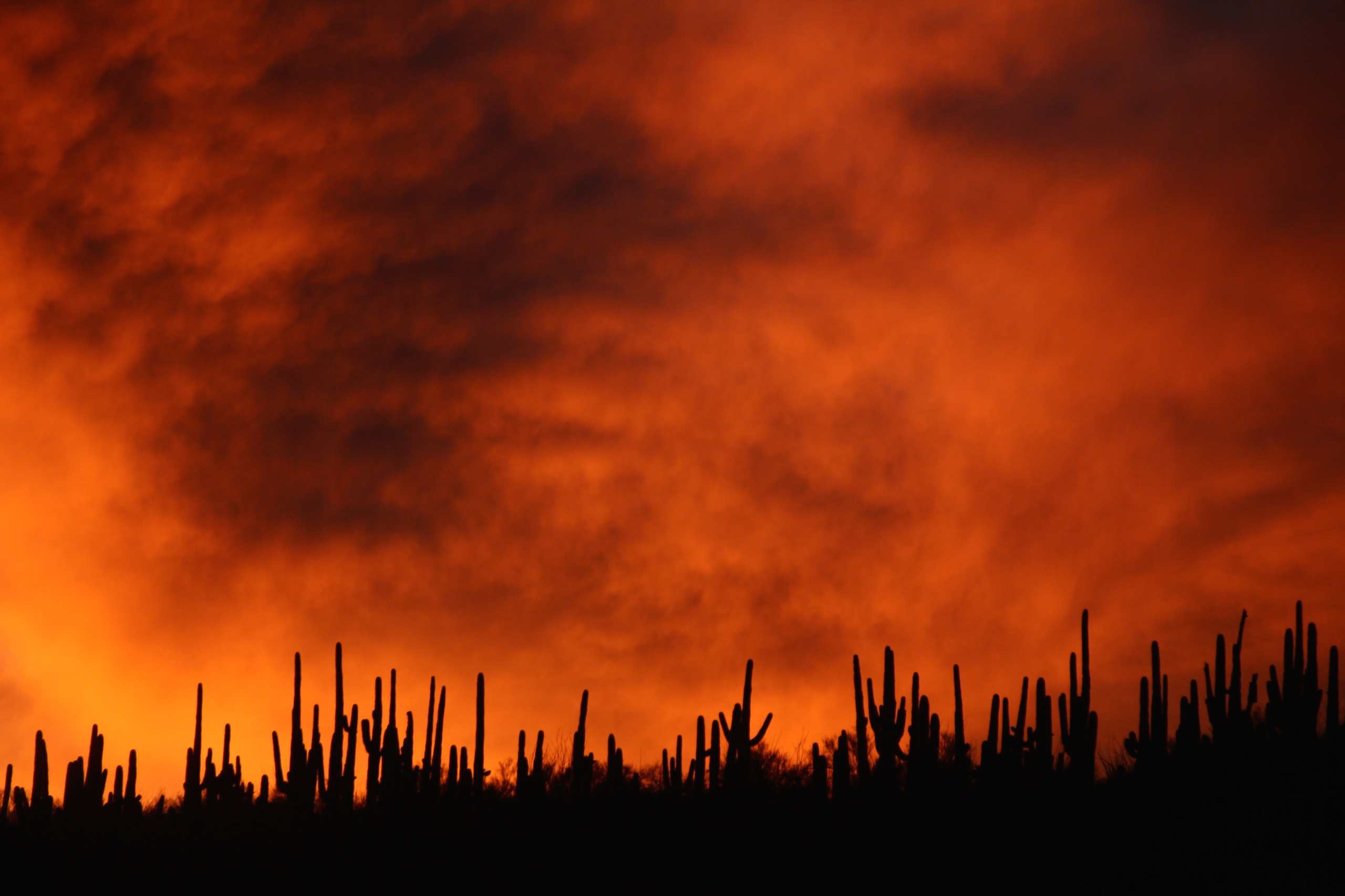
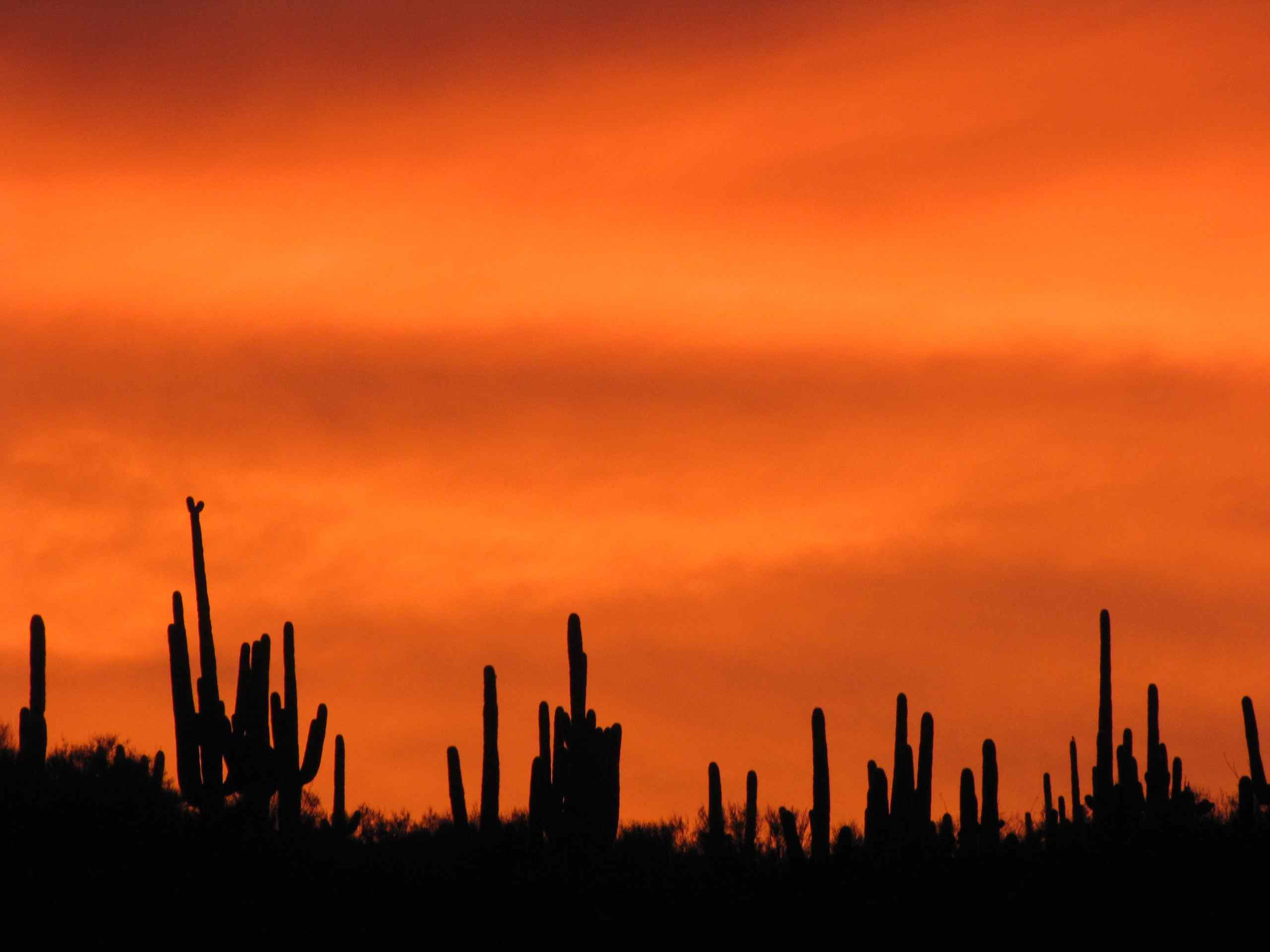
Sunset over Saguaro Cacti - San Pedro River Valley
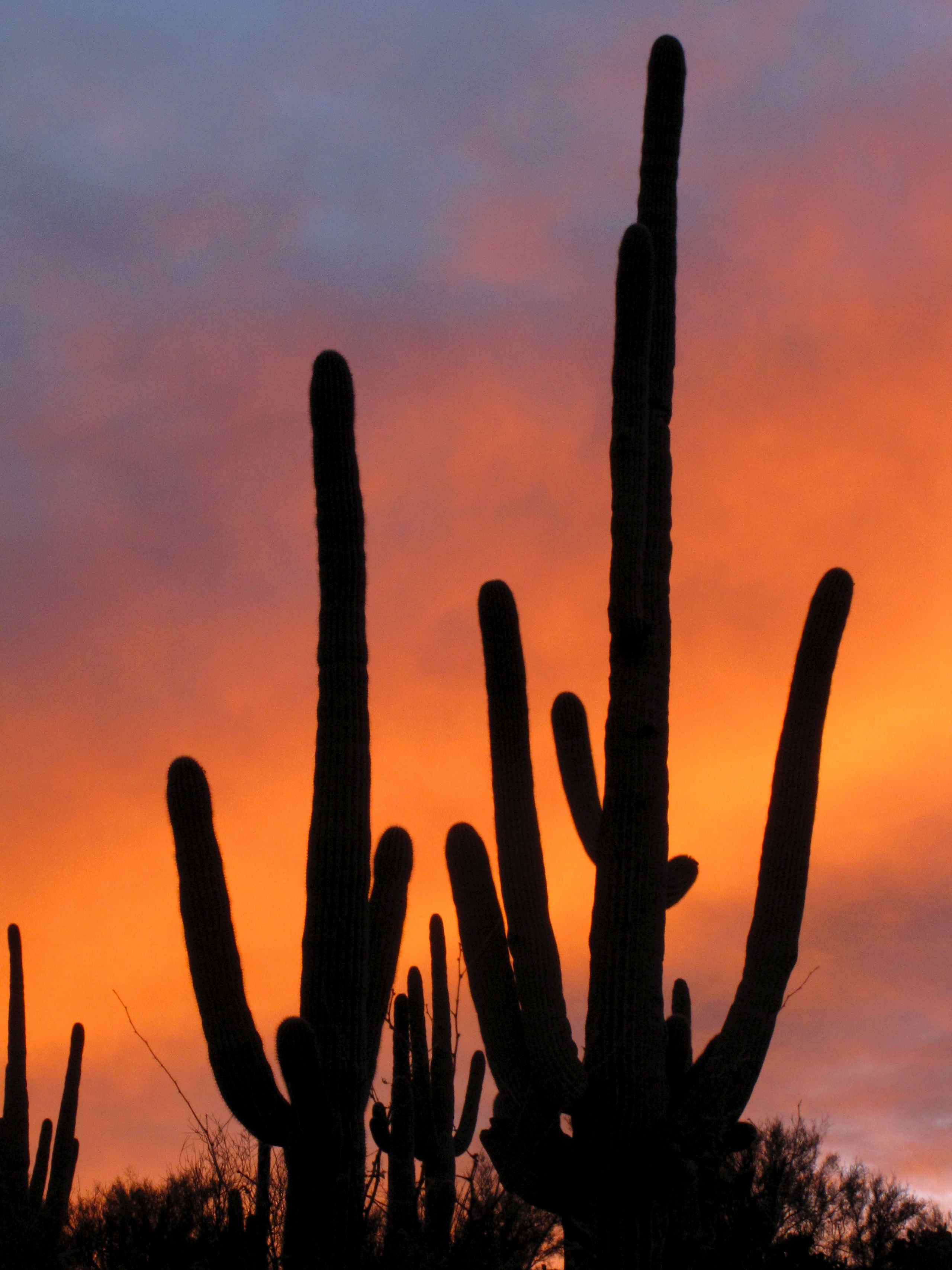
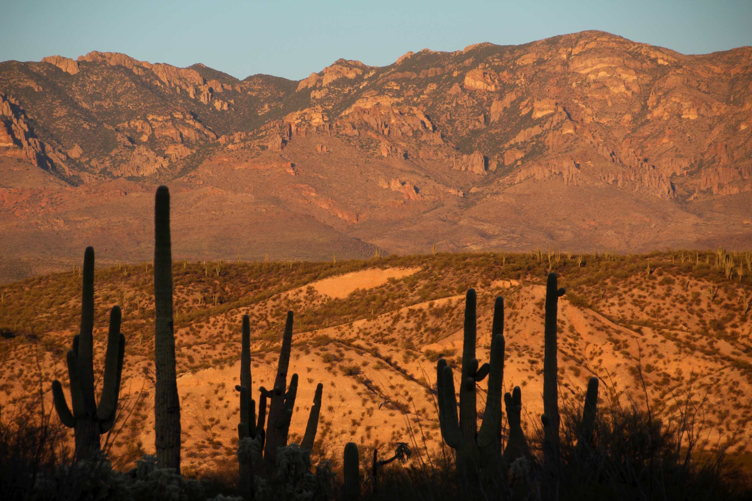
Saguaro cacti at sunset; SE of San Manuel, AZ
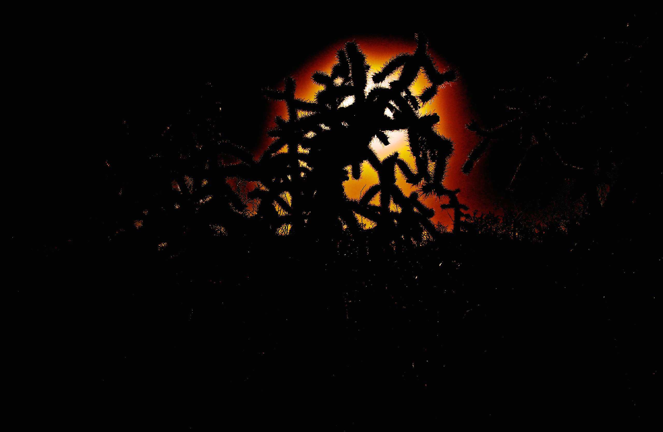
Cane Cholla Cactus (Cylindropuntia spinosior) at sunset
View of the Galiuro Mountains and Saguaro Cacti at sunset; San Pedro River Valley, AZ
Arizona Trail Passage #14

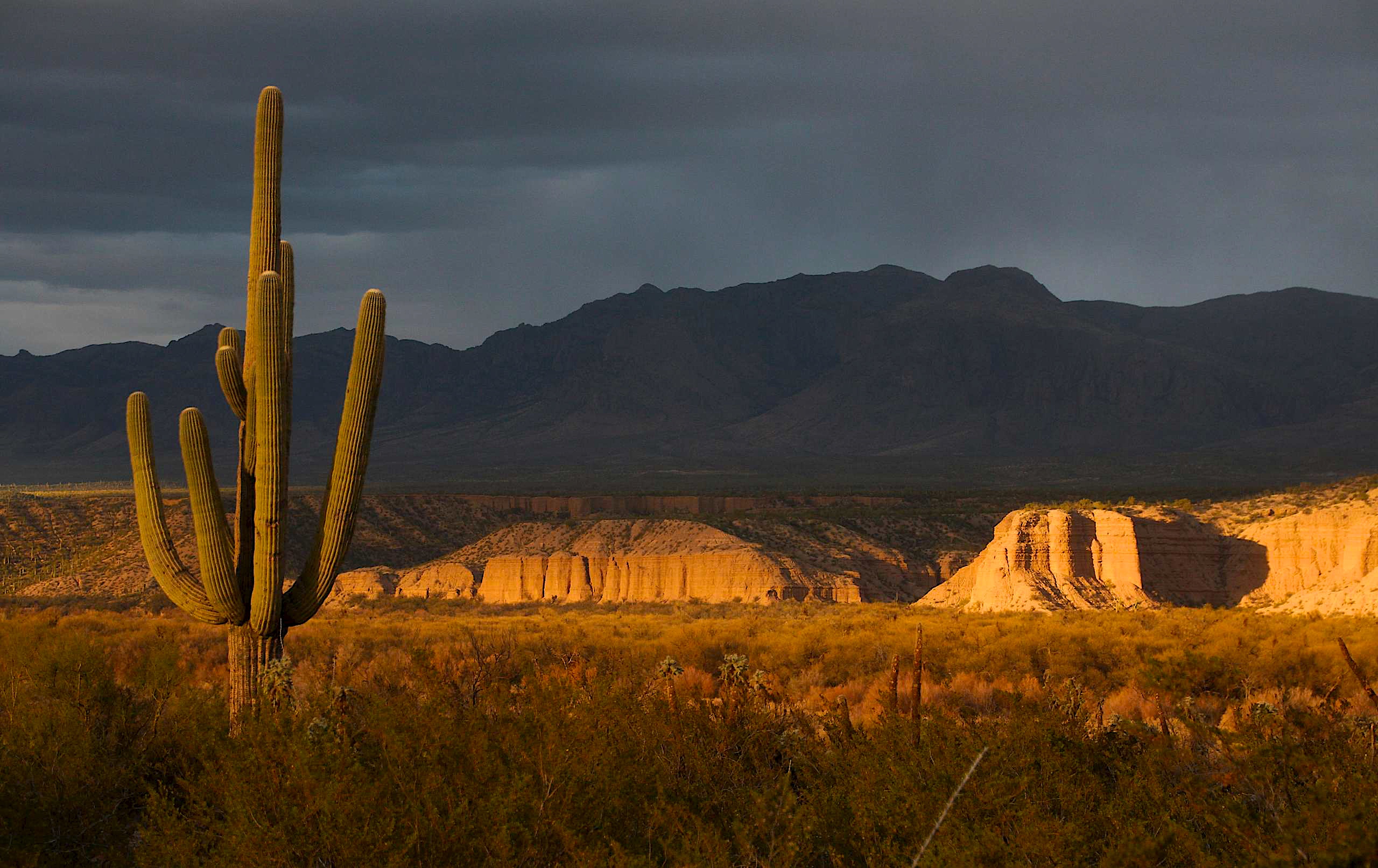
View of snow capped Galiuro Mountains; SE of San Manuel, AZ
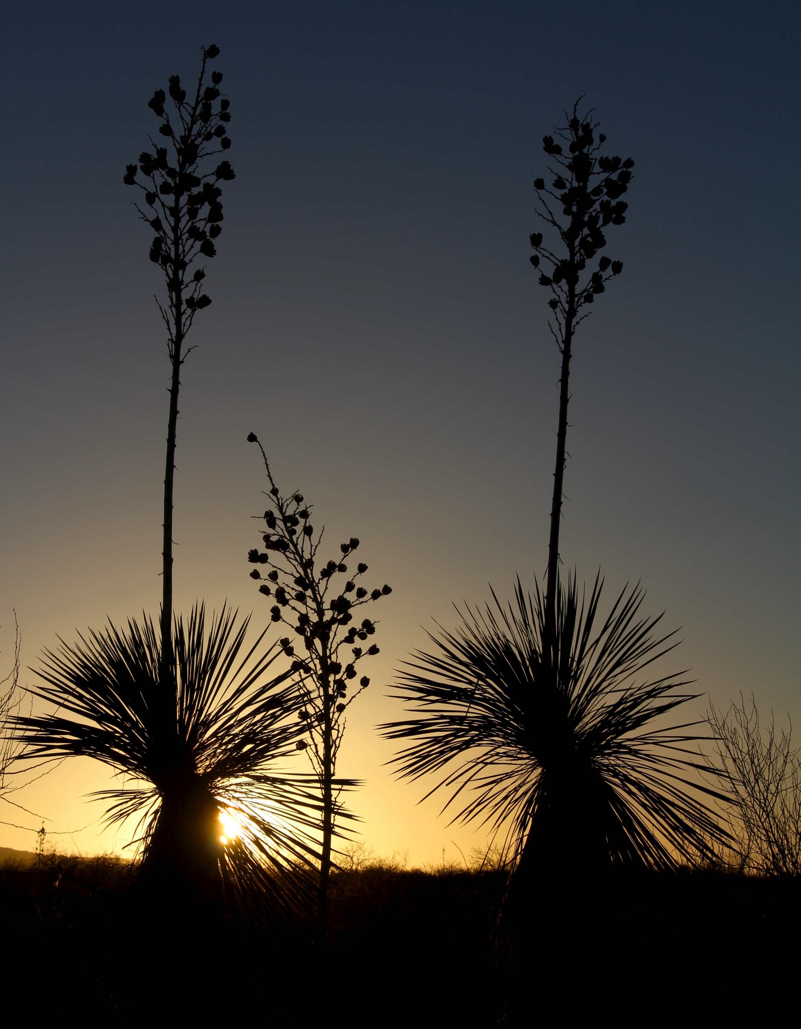
Soaptree Yucca (Yucca elata - Palmilla) at sunset; S of San Manuel, AZ
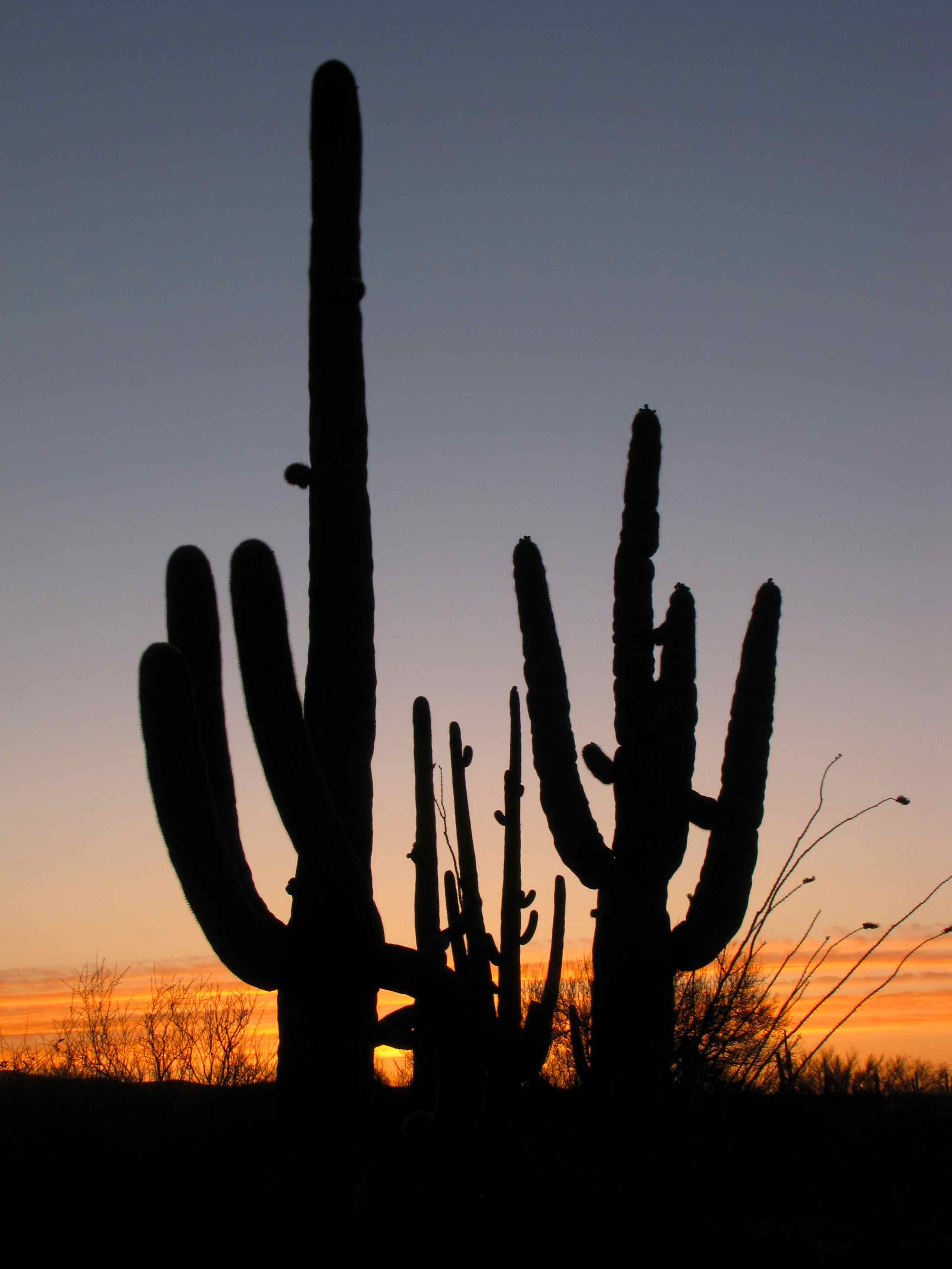
Saguaro Cacti at sunset; Black Hills Mine Road, S of San Manuel, AZ
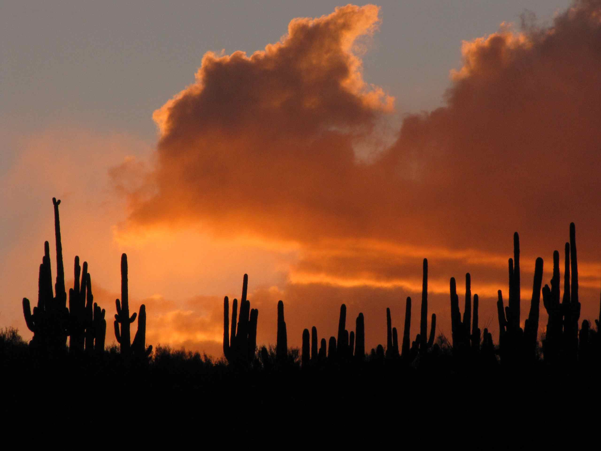
Sunset over Saguaro cacti on ridge; SE of San Manuel, AZ
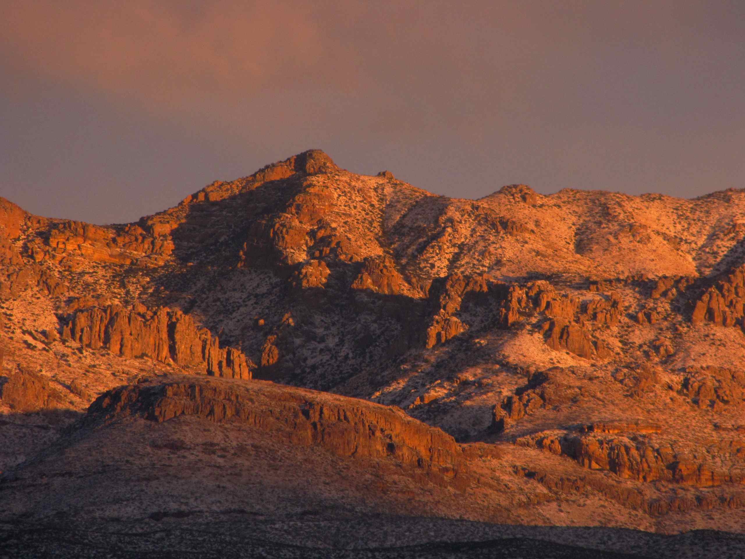
View of snow capped Galiuro Mountains and Kielberg Canyon; SE of San Manuel, AZ
Saguaro Cacti on ridge; SE of San Manuel, AZ
Sunset with flowering Ocotillos and Saguaro Cactus; N of Alder Wash, SE of San Manuel, AZ

Sunset with Saguaro Cactus and Palo Verde; S Redington Road, SE of San Manuel, AZ
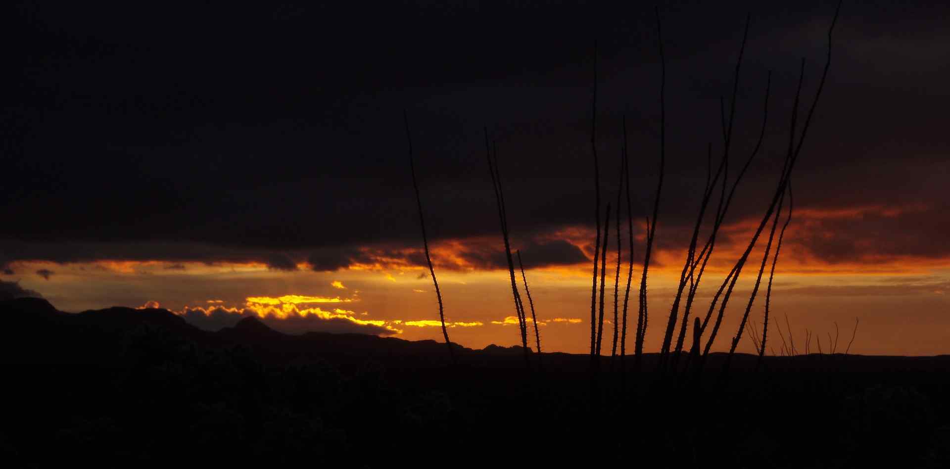
Sunrise with Ocotillos; San Pedro Valley, SE of San Manuel, AZ
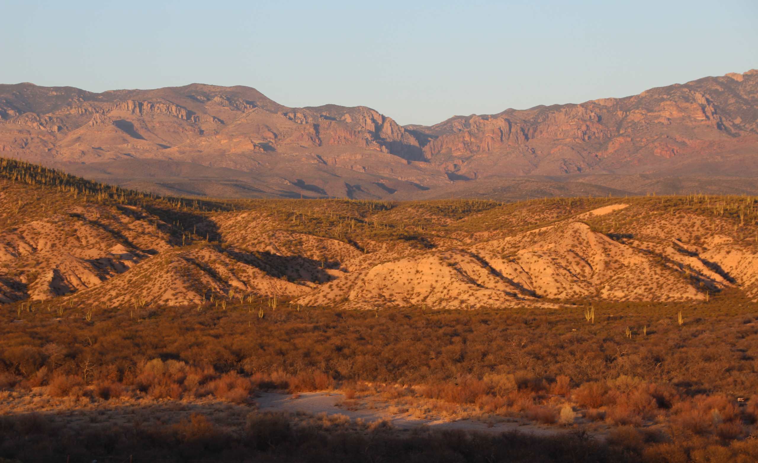
View of San Pedro River Valley and Galiuro Mountains near sunset; SE of San Manuel, AZ
Arizona Trail Passage #14
Sunset over the Galiuro Mountains; SE of San Manuel, AZ
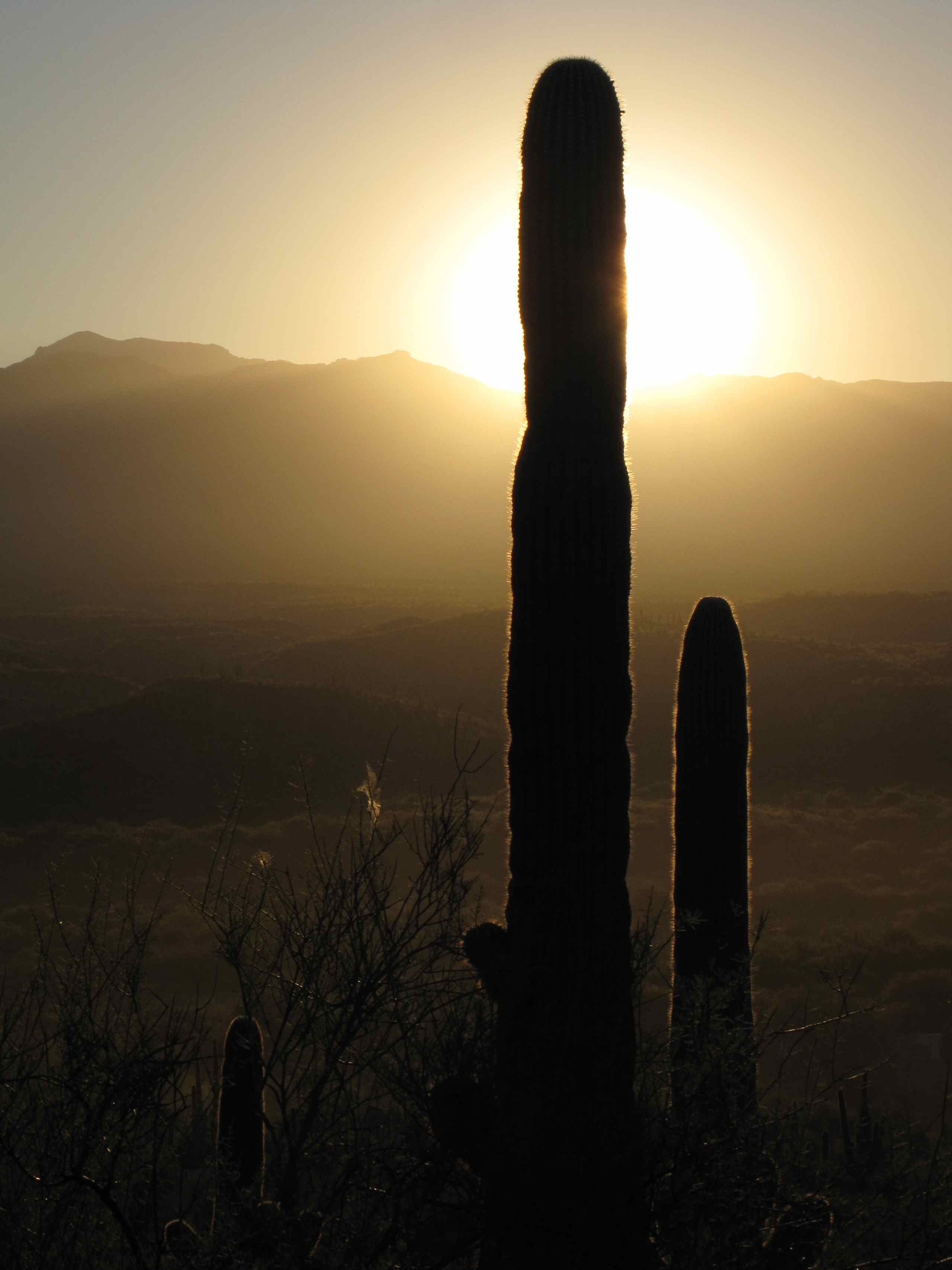
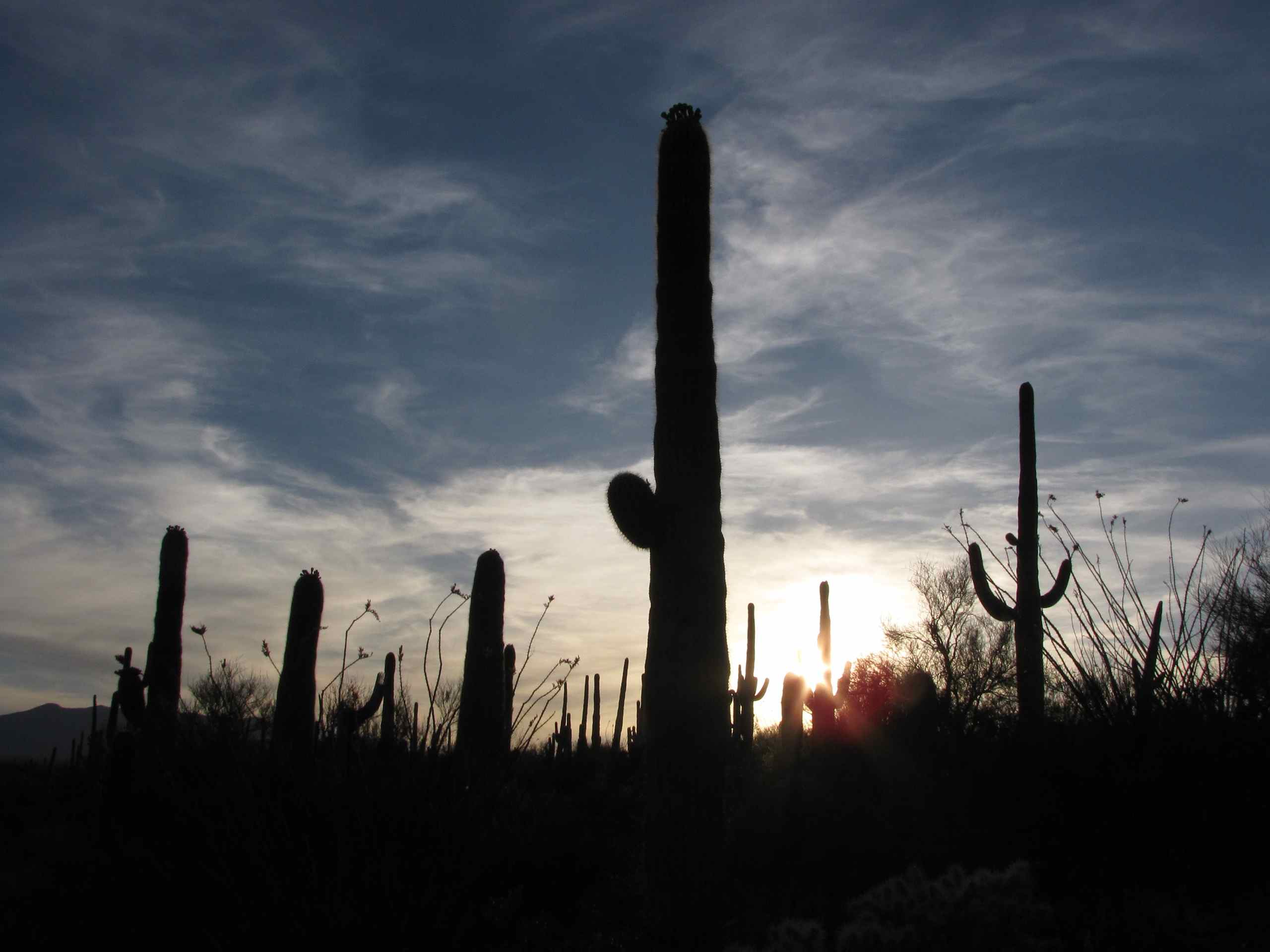
View of Sagauro Cacti and San Pedro Valley at dawn; SE of San Manuel, AZ
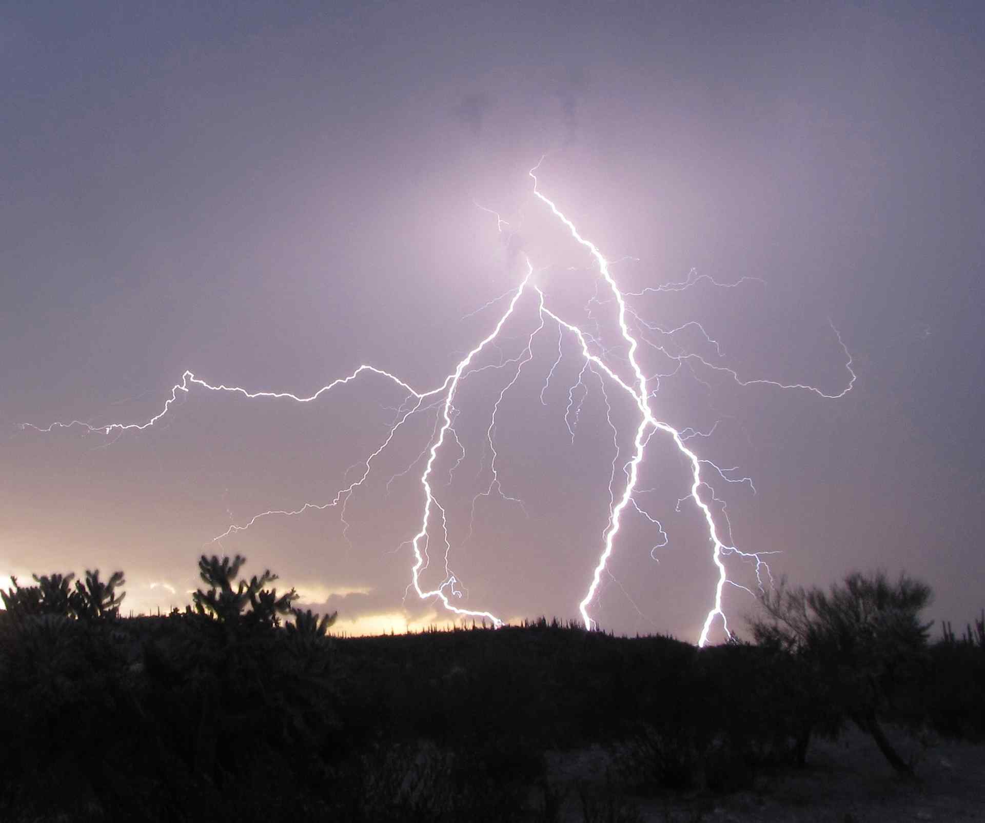
Lightning San Pedro Valley AZ
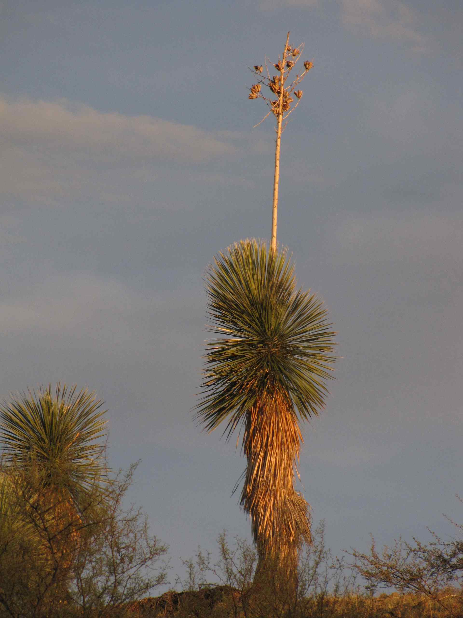
Soaptree Yucca; SE Arizona

Mine Shuttle at Sunrise

Lower Oracle Ridge

Lower Oracle Ridge

Lower Oracle Ridge
W 4th Ave, San Manuel, AZ, USA Map
Search another place
Near Places
W 3rd Ave, San Manuel, AZ, USA
S Ave B, San Manuel, AZ, USA
San Manuel, AZ, USA
North Redington Road, N Redington Rd, Arizona, USA
S Apache Girl Trail, San Manuel, AZ, USA
S Mt Lemmon Rd, Oracle, AZ, USA
Oracle State Park, Wildlife Dr, Oracle, AZ, USA
S Highjinks Rd, Oracle, AZ, USA
Main St, Mammoth, AZ, USA
Mammoth, AZ, USA
N Cody Loop Rd, Oracle, AZ, USA
N John Adams St, Oracle, AZ, USA
N Bonito Dr, Oracle, AZ, USA
Oracle, AZ, USA
The Oracle Patio Cafe and Market, W American Ave, Oracle, AZ, USA
W Linda Vista Rd, Oracle, AZ, USA
W La Osa St, Oracle, AZ, USA
Triangle L Ranch Bed and Breakfast, N Triangle L Ranch Rd, Oracle, AZ, USA
N Calle Valencia, Oracle, AZ, USA
Redington Rd, Benson, AZ, USA
Recent Searches
- Sunrise Sunset Times of Woodland Oak Pl, Thousand Oaks, CA, USA
- Sunrise Sunset Times of Sarangdanda, Nepal
- Sunrise Sunset Times of Nakanoshima, Shiogama, Miyagi -, Japan
- Sunrise Sunset Times of Center of Research in Astronomy, Astrophysics, and Geophysics, bp - 63 Rte de l'Observatoire, Bouzar
- Sunrise Sunset Times of Crocker Dr, Vacaville, CA, USA
- Sunrise Sunset Times of Pu Ngaol Community Meeting Hall, HWHM+3X7, Krong Saen Monourom, Cambodia
- Sunrise Sunset Times of Pantai Cermin, batu 10, Jalan Pantai, Port Dickson, Melaka, Malaysia
- Sunrise Sunset Times of Groblershoop, South Africa
- Sunrise Sunset Times of Petriti, Greece
- Sunrise Sunset Times of Chesaw Rd, Oroville, WA, USA