Sunrise Sunset Times of Villedieu, France
Location: Italy > Auvergne Rhône-Alpes > Cantal >
Timezone:
Europe/Paris
Current Time:
2024-05-10 16:53:02
Longitude:
3.063686
Latitude:
44.999448
Sunrise Today:
06:23:34 AM
Sunset Today:
09:04:41 PM
Daylength Today:
14h 41m 7s
Sunrise Tomorrow:
06:22:21 AM
Sunset Tomorrow:
09:05:52 PM
Daylength Tomorrow:
14h 43m 31s
Year Show All Dates
| Date | Sunrise | Sunset | Daylength |
|---|---|---|---|
| 01/01/2024 | 08:25:53 AM | 05:16:41 PM | 8h 50m 48s |
| 01/02/2024 | 08:25:54 AM | 05:17:36 PM | 8h 51m 42s |
| 01/03/2024 | 08:25:52 AM | 05:18:33 PM | 8h 52m 41s |
| 01/04/2024 | 08:25:48 AM | 05:19:32 PM | 8h 53m 44s |
| 01/05/2024 | 08:25:41 AM | 05:20:32 PM | 8h 54m 51s |
| 01/06/2024 | 08:25:32 AM | 05:21:35 PM | 8h 56m 3s |
| 01/07/2024 | 08:25:20 AM | 05:22:39 PM | 8h 57m 19s |
| 01/08/2024 | 08:25:06 AM | 05:23:44 PM | 8h 58m 38s |
| 01/09/2024 | 08:24:49 AM | 05:24:51 PM | 9h 0m 2s |
| 01/10/2024 | 08:24:29 AM | 05:26:00 PM | 9h 1m 31s |
| 01/11/2024 | 08:24:07 AM | 05:27:10 PM | 9h 3m 3s |
| 01/12/2024 | 08:23:42 AM | 05:28:21 PM | 9h 4m 39s |
| 01/13/2024 | 08:23:15 AM | 05:29:33 PM | 9h 6m 18s |
| 01/14/2024 | 08:22:45 AM | 05:30:47 PM | 9h 8m 2s |
| 01/15/2024 | 08:22:13 AM | 05:32:02 PM | 9h 9m 49s |
| 01/16/2024 | 08:21:38 AM | 05:33:18 PM | 9h 11m 40s |
| 01/17/2024 | 08:21:01 AM | 05:34:35 PM | 9h 13m 34s |
| 01/18/2024 | 08:20:22 AM | 05:35:53 PM | 9h 15m 31s |
| 01/19/2024 | 08:19:40 AM | 05:37:12 PM | 9h 17m 32s |
| 01/20/2024 | 08:18:56 AM | 05:38:32 PM | 9h 19m 36s |
| 01/21/2024 | 08:18:10 AM | 05:39:52 PM | 9h 21m 42s |
| 01/22/2024 | 08:17:21 AM | 05:41:13 PM | 9h 23m 52s |
| 01/23/2024 | 08:16:31 AM | 05:42:35 PM | 9h 26m 4s |
| 01/24/2024 | 08:15:38 AM | 05:43:58 PM | 9h 28m 20s |
| 01/25/2024 | 08:14:43 AM | 05:45:21 PM | 9h 30m 38s |
| 01/26/2024 | 08:13:46 AM | 05:46:44 PM | 9h 32m 58s |
| 01/27/2024 | 08:12:46 AM | 05:48:08 PM | 9h 35m 22s |
| 01/28/2024 | 08:11:45 AM | 05:49:33 PM | 9h 37m 48s |
| 01/29/2024 | 08:10:42 AM | 05:50:58 PM | 9h 40m 16s |
| 01/30/2024 | 08:09:37 AM | 05:52:23 PM | 9h 42m 46s |
| 01/31/2024 | 08:08:30 AM | 05:53:48 PM | 9h 45m 18s |
| 02/01/2024 | 08:07:21 AM | 05:55:13 PM | 9h 47m 52s |
| 02/02/2024 | 08:06:10 AM | 05:56:39 PM | 9h 50m 29s |
| 02/03/2024 | 08:04:58 AM | 05:58:05 PM | 9h 53m 7s |
| 02/04/2024 | 08:03:44 AM | 05:59:31 PM | 9h 55m 47s |
| 02/05/2024 | 08:02:28 AM | 06:00:57 PM | 9h 58m 29s |
| 02/06/2024 | 08:01:10 AM | 06:02:23 PM | 10h 1m 13s |
| 02/07/2024 | 07:59:51 AM | 06:03:49 PM | 10h 3m 58s |
| 02/08/2024 | 07:58:30 AM | 06:05:15 PM | 10h 6m 45s |
| 02/09/2024 | 07:57:08 AM | 06:06:41 PM | 10h 9m 33s |
| 02/10/2024 | 07:55:44 AM | 06:08:07 PM | 10h 12m 23s |
| 02/11/2024 | 07:54:19 AM | 06:09:33 PM | 10h 15m 14s |
| 02/12/2024 | 07:52:53 AM | 06:10:59 PM | 10h 18m 6s |
| 02/13/2024 | 07:51:25 AM | 06:12:24 PM | 10h 20m 59s |
| 02/14/2024 | 07:49:56 AM | 06:13:50 PM | 10h 23m 54s |
| 02/15/2024 | 07:48:25 AM | 06:15:15 PM | 10h 26m 50s |
| 02/16/2024 | 07:46:53 AM | 06:16:40 PM | 10h 29m 47s |
| 02/17/2024 | 07:45:20 AM | 06:18:05 PM | 10h 32m 45s |
| 02/18/2024 | 07:43:46 AM | 06:19:29 PM | 10h 35m 43s |
| 02/19/2024 | 07:42:11 AM | 06:20:54 PM | 10h 38m 43s |
| 02/20/2024 | 07:40:34 AM | 06:22:18 PM | 10h 41m 44s |
| 02/21/2024 | 07:38:57 AM | 06:23:42 PM | 10h 44m 45s |
| 02/22/2024 | 07:37:19 AM | 06:25:05 PM | 10h 47m 46s |
| 02/23/2024 | 07:35:39 AM | 06:26:29 PM | 10h 50m 50s |
| 02/24/2024 | 07:33:59 AM | 06:27:52 PM | 10h 53m 53s |
| 02/25/2024 | 07:32:18 AM | 06:29:14 PM | 10h 56m 56s |
| 02/26/2024 | 07:30:36 AM | 06:30:37 PM | 11h 0m 1s |
| 02/27/2024 | 07:28:53 AM | 06:31:59 PM | 11h 3m 6s |
| 02/28/2024 | 07:27:09 AM | 06:33:21 PM | 11h 6m 12s |
| 02/29/2024 | 07:25:24 AM | 06:34:43 PM | 11h 9m 19s |
| 03/01/2024 | 07:23:39 AM | 06:36:04 PM | 11h 12m 25s |
| 03/02/2024 | 07:21:53 AM | 06:37:25 PM | 11h 15m 32s |
| 03/03/2024 | 07:20:07 AM | 06:38:46 PM | 11h 18m 39s |
| 03/04/2024 | 07:18:20 AM | 06:40:06 PM | 11h 21m 46s |
| 03/05/2024 | 07:16:32 AM | 06:41:27 PM | 11h 24m 55s |
| 03/06/2024 | 07:14:43 AM | 06:42:47 PM | 11h 28m 4s |
| 03/07/2024 | 07:12:55 AM | 06:44:06 PM | 11h 31m 11s |
| 03/08/2024 | 07:11:05 AM | 06:45:26 PM | 11h 34m 21s |
| 03/09/2024 | 07:09:16 AM | 06:46:45 PM | 11h 37m 29s |
| 03/10/2024 | 07:07:25 AM | 06:48:04 PM | 11h 40m 39s |
| 03/11/2024 | 07:05:35 AM | 06:49:23 PM | 11h 43m 48s |
| 03/12/2024 | 07:03:44 AM | 06:50:41 PM | 11h 46m 57s |
| 03/13/2024 | 07:01:53 AM | 06:52:00 PM | 11h 50m 7s |
| 03/14/2024 | 07:00:01 AM | 06:53:18 PM | 11h 53m 17s |
| 03/15/2024 | 06:58:09 AM | 06:54:36 PM | 11h 56m 27s |
| 03/16/2024 | 06:56:17 AM | 06:55:53 PM | 11h 59m 36s |
| 03/17/2024 | 06:54:25 AM | 06:57:11 PM | 12h 2m 46s |
| 03/18/2024 | 06:52:33 AM | 06:58:28 PM | 12h 5m 55s |
| 03/19/2024 | 06:50:40 AM | 06:59:45 PM | 12h 9m 5s |
| 03/20/2024 | 06:48:48 AM | 07:01:02 PM | 12h 12m 14s |
| 03/21/2024 | 06:46:55 AM | 07:02:19 PM | 12h 15m 24s |
| 03/22/2024 | 06:45:02 AM | 07:03:36 PM | 12h 18m 34s |
| 03/23/2024 | 06:43:09 AM | 07:04:53 PM | 12h 21m 44s |
| 03/24/2024 | 06:41:17 AM | 07:06:09 PM | 12h 24m 52s |
| 03/25/2024 | 06:39:24 AM | 07:07:26 PM | 12h 28m 2s |
| 03/26/2024 | 06:37:31 AM | 07:08:42 PM | 12h 31m 11s |
| 03/27/2024 | 06:35:39 AM | 07:09:58 PM | 12h 34m 19s |
| 03/28/2024 | 06:33:47 AM | 07:11:15 PM | 12h 37m 28s |
| 03/29/2024 | 06:31:55 AM | 07:12:31 PM | 12h 40m 36s |
| 03/30/2024 | 06:30:03 AM | 07:13:47 PM | 12h 43m 44s |
| 03/31/2024 | 07:28:16 AM | 08:15:00 PM | 12h 46m 44s |
| 04/01/2024 | 07:26:24 AM | 08:16:16 PM | 12h 49m 52s |
| 04/02/2024 | 07:24:33 AM | 08:17:32 PM | 12h 52m 59s |
| 04/03/2024 | 07:22:42 AM | 08:18:47 PM | 12h 56m 5s |
| 04/04/2024 | 07:20:52 AM | 08:20:03 PM | 12h 59m 11s |
| 04/05/2024 | 07:19:02 AM | 08:21:19 PM | 13h 2m 17s |
| 04/06/2024 | 07:17:12 AM | 08:22:35 PM | 13h 5m 23s |
| 04/07/2024 | 07:15:23 AM | 08:23:51 PM | 13h 8m 28s |
| 04/08/2024 | 07:13:34 AM | 08:25:07 PM | 13h 11m 33s |
| 04/09/2024 | 07:11:46 AM | 08:26:22 PM | 13h 14m 36s |
| 04/10/2024 | 07:09:58 AM | 08:27:38 PM | 13h 17m 40s |
| 04/11/2024 | 07:08:11 AM | 08:28:54 PM | 13h 20m 43s |
| 04/12/2024 | 07:06:25 AM | 08:30:10 PM | 13h 23m 45s |
| 04/13/2024 | 07:04:39 AM | 08:31:26 PM | 13h 26m 47s |
| 04/14/2024 | 07:02:54 AM | 08:32:42 PM | 13h 29m 48s |
| 04/15/2024 | 07:01:10 AM | 08:33:57 PM | 13h 32m 47s |
| 04/16/2024 | 06:59:26 AM | 08:35:13 PM | 13h 35m 47s |
| 04/17/2024 | 06:57:43 AM | 08:36:29 PM | 13h 38m 46s |
| 04/18/2024 | 06:56:01 AM | 08:37:45 PM | 13h 41m 44s |
| 04/19/2024 | 06:54:20 AM | 08:39:00 PM | 13h 44m 40s |
| 04/20/2024 | 06:52:40 AM | 08:40:16 PM | 13h 47m 36s |
| 04/21/2024 | 06:51:01 AM | 08:41:32 PM | 13h 50m 31s |
| 04/22/2024 | 06:49:22 AM | 08:42:47 PM | 13h 53m 25s |
| 04/23/2024 | 06:47:45 AM | 08:44:03 PM | 13h 56m 18s |
| 04/24/2024 | 06:46:09 AM | 08:45:18 PM | 13h 59m 9s |
| 04/25/2024 | 06:44:33 AM | 08:46:34 PM | 14h 2m 1s |
| 04/26/2024 | 06:42:59 AM | 08:47:49 PM | 14h 4m 50s |
| 04/27/2024 | 06:41:26 AM | 08:49:04 PM | 14h 7m 38s |
| 04/28/2024 | 06:39:54 AM | 08:50:19 PM | 14h 10m 25s |
| 04/29/2024 | 06:38:23 AM | 08:51:34 PM | 14h 13m 11s |
| 04/30/2024 | 06:36:54 AM | 08:52:48 PM | 14h 15m 54s |
| 05/01/2024 | 06:35:26 AM | 08:54:03 PM | 14h 18m 37s |
| 05/02/2024 | 06:33:59 AM | 08:55:17 PM | 14h 21m 18s |
| 05/03/2024 | 06:32:33 AM | 08:56:31 PM | 14h 23m 58s |
| 05/04/2024 | 06:31:09 AM | 08:57:45 PM | 14h 26m 36s |
| 05/05/2024 | 06:29:47 AM | 08:58:58 PM | 14h 29m 11s |
| 05/06/2024 | 06:28:25 AM | 09:00:11 PM | 14h 31m 46s |
| 05/07/2024 | 06:27:06 AM | 09:01:24 PM | 14h 34m 18s |
| 05/08/2024 | 06:25:47 AM | 09:02:36 PM | 14h 36m 49s |
| 05/09/2024 | 06:24:31 AM | 09:03:48 PM | 14h 39m 17s |
| 05/10/2024 | 06:23:16 AM | 09:04:59 PM | 14h 41m 43s |
| 05/11/2024 | 06:22:02 AM | 09:06:10 PM | 14h 44m 8s |
| 05/12/2024 | 06:20:51 AM | 09:07:21 PM | 14h 46m 30s |
| 05/13/2024 | 06:19:41 AM | 09:08:30 PM | 14h 48m 49s |
| 05/14/2024 | 06:18:32 AM | 09:09:40 PM | 14h 51m 8s |
| 05/15/2024 | 06:17:26 AM | 09:10:48 PM | 14h 53m 22s |
| 05/16/2024 | 06:16:21 AM | 09:11:56 PM | 14h 55m 35s |
| 05/17/2024 | 06:15:19 AM | 09:13:03 PM | 14h 57m 44s |
| 05/18/2024 | 06:14:18 AM | 09:14:09 PM | 14h 59m 51s |
| 05/19/2024 | 06:13:19 AM | 09:15:15 PM | 15h 1m 56s |
| 05/20/2024 | 06:12:22 AM | 09:16:19 PM | 15h 3m 57s |
| 05/21/2024 | 06:11:26 AM | 09:17:23 PM | 15h 5m 57s |
| 05/22/2024 | 06:10:33 AM | 09:18:26 PM | 15h 7m 53s |
| 05/23/2024 | 06:09:42 AM | 09:19:28 PM | 15h 9m 46s |
| 05/24/2024 | 06:08:53 AM | 09:20:28 PM | 15h 11m 35s |
| 05/25/2024 | 06:08:07 AM | 09:21:28 PM | 15h 13m 21s |
| 05/26/2024 | 06:07:22 AM | 09:22:26 PM | 15h 15m 4s |
| 05/27/2024 | 06:06:39 AM | 09:23:24 PM | 15h 16m 45s |
| 05/28/2024 | 06:05:59 AM | 09:24:19 PM | 15h 18m 20s |
| 05/29/2024 | 06:05:21 AM | 09:25:14 PM | 15h 19m 53s |
| 05/30/2024 | 06:04:45 AM | 09:26:07 PM | 15h 21m 22s |
| 05/31/2024 | 06:04:11 AM | 09:26:59 PM | 15h 22m 48s |
| 06/01/2024 | 06:03:39 AM | 09:27:50 PM | 15h 24m 11s |
| 06/02/2024 | 06:03:10 AM | 09:28:38 PM | 15h 25m 28s |
| 06/03/2024 | 06:02:43 AM | 09:29:26 PM | 15h 26m 43s |
| 06/04/2024 | 06:02:18 AM | 09:30:11 PM | 15h 27m 53s |
| 06/05/2024 | 06:01:56 AM | 09:30:55 PM | 15h 28m 59s |
| 06/06/2024 | 06:01:36 AM | 09:31:38 PM | 15h 30m 2s |
| 06/07/2024 | 06:01:18 AM | 09:32:18 PM | 15h 31m 0s |
| 06/08/2024 | 06:01:03 AM | 09:32:57 PM | 15h 31m 54s |
| 06/09/2024 | 06:00:49 AM | 09:33:34 PM | 15h 32m 45s |
| 06/10/2024 | 06:00:39 AM | 09:34:09 PM | 15h 33m 30s |
| 06/11/2024 | 06:00:30 AM | 09:34:42 PM | 15h 34m 12s |
| 06/12/2024 | 06:00:24 AM | 09:35:13 PM | 15h 34m 49s |
| 06/13/2024 | 06:00:20 AM | 09:35:42 PM | 15h 35m 22s |
| 06/14/2024 | 06:00:19 AM | 09:36:09 PM | 15h 35m 50s |
| 06/15/2024 | 06:00:20 AM | 09:36:34 PM | 15h 36m 14s |
| 06/16/2024 | 06:00:23 AM | 09:36:57 PM | 15h 36m 34s |
| 06/17/2024 | 06:00:28 AM | 09:37:18 PM | 15h 36m 50s |
| 06/18/2024 | 06:00:36 AM | 09:37:36 PM | 15h 37m 0s |
| 06/19/2024 | 06:00:46 AM | 09:37:53 PM | 15h 37m 7s |
| 06/20/2024 | 06:00:58 AM | 09:38:07 PM | 15h 37m 9s |
| 06/21/2024 | 06:01:12 AM | 09:38:19 PM | 15h 37m 7s |
| 06/22/2024 | 06:01:28 AM | 09:38:28 PM | 15h 37m 0s |
| 06/23/2024 | 06:01:47 AM | 09:38:35 PM | 15h 36m 48s |
| 06/24/2024 | 06:02:08 AM | 09:38:40 PM | 15h 36m 32s |
| 06/25/2024 | 06:02:30 AM | 09:38:43 PM | 15h 36m 13s |
| 06/26/2024 | 06:02:55 AM | 09:38:43 PM | 15h 35m 48s |
| 06/27/2024 | 06:03:22 AM | 09:38:41 PM | 15h 35m 19s |
| 06/28/2024 | 06:03:51 AM | 09:38:37 PM | 15h 34m 46s |
| 06/29/2024 | 06:04:21 AM | 09:38:30 PM | 15h 34m 9s |
| 06/30/2024 | 06:04:54 AM | 09:38:21 PM | 15h 33m 27s |
| 07/01/2024 | 06:05:29 AM | 09:38:09 PM | 15h 32m 40s |
| 07/02/2024 | 06:06:05 AM | 09:37:55 PM | 15h 31m 50s |
| 07/03/2024 | 06:06:43 AM | 09:37:39 PM | 15h 30m 56s |
| 07/04/2024 | 06:07:23 AM | 09:37:20 PM | 15h 29m 57s |
| 07/05/2024 | 06:08:04 AM | 09:36:59 PM | 15h 28m 55s |
| 07/06/2024 | 06:08:47 AM | 09:36:35 PM | 15h 27m 48s |
| 07/07/2024 | 06:09:32 AM | 09:36:10 PM | 15h 26m 38s |
| 07/08/2024 | 06:10:18 AM | 09:35:42 PM | 15h 25m 24s |
| 07/09/2024 | 06:11:05 AM | 09:35:11 PM | 15h 24m 6s |
| 07/10/2024 | 06:11:54 AM | 09:34:39 PM | 15h 22m 45s |
| 07/11/2024 | 06:12:45 AM | 09:34:04 PM | 15h 21m 19s |
| 07/12/2024 | 06:13:36 AM | 09:33:26 PM | 15h 19m 50s |
| 07/13/2024 | 06:14:29 AM | 09:32:47 PM | 15h 18m 18s |
| 07/14/2024 | 06:15:24 AM | 09:32:05 PM | 15h 16m 41s |
| 07/15/2024 | 06:16:19 AM | 09:31:22 PM | 15h 15m 3s |
| 07/16/2024 | 06:17:16 AM | 09:30:35 PM | 15h 13m 19s |
| 07/17/2024 | 06:18:13 AM | 09:29:47 PM | 15h 11m 34s |
| 07/18/2024 | 06:19:12 AM | 09:28:57 PM | 15h 9m 45s |
| 07/19/2024 | 06:20:11 AM | 09:28:05 PM | 15h 7m 54s |
| 07/20/2024 | 06:21:12 AM | 09:27:10 PM | 15h 5m 58s |
| 07/21/2024 | 06:22:13 AM | 09:26:14 PM | 15h 4m 1s |
| 07/22/2024 | 06:23:16 AM | 09:25:16 PM | 15h 2m 0s |
| 07/23/2024 | 06:24:19 AM | 09:24:15 PM | 14h 59m 56s |
| 07/24/2024 | 06:25:22 AM | 09:23:13 PM | 14h 57m 51s |
| 07/25/2024 | 06:26:27 AM | 09:22:09 PM | 14h 55m 42s |
| 07/26/2024 | 06:27:32 AM | 09:21:03 PM | 14h 53m 31s |
| 07/27/2024 | 06:28:38 AM | 09:19:55 PM | 14h 51m 17s |
| 07/28/2024 | 06:29:44 AM | 09:18:45 PM | 14h 49m 1s |
| 07/29/2024 | 06:30:51 AM | 09:17:34 PM | 14h 46m 43s |
| 07/30/2024 | 06:31:59 AM | 09:16:21 PM | 14h 44m 22s |
| 07/31/2024 | 06:33:06 AM | 09:15:06 PM | 14h 42m 0s |
| 08/01/2024 | 06:34:15 AM | 09:13:49 PM | 14h 39m 34s |
| 08/02/2024 | 06:35:23 AM | 09:12:31 PM | 14h 37m 8s |
| 08/03/2024 | 06:36:33 AM | 09:11:12 PM | 14h 34m 39s |
| 08/04/2024 | 06:37:42 AM | 09:09:51 PM | 14h 32m 9s |
| 08/05/2024 | 06:38:52 AM | 09:08:28 PM | 14h 29m 36s |
| 08/06/2024 | 06:40:02 AM | 09:07:04 PM | 14h 27m 2s |
| 08/07/2024 | 06:41:12 AM | 09:05:38 PM | 14h 24m 26s |
| 08/08/2024 | 06:42:22 AM | 09:04:11 PM | 14h 21m 49s |
| 08/09/2024 | 06:43:33 AM | 09:02:43 PM | 14h 19m 10s |
| 08/10/2024 | 06:44:44 AM | 09:01:13 PM | 14h 16m 29s |
| 08/11/2024 | 06:45:55 AM | 08:59:43 PM | 14h 13m 48s |
| 08/12/2024 | 06:47:06 AM | 08:58:10 PM | 14h 11m 4s |
| 08/13/2024 | 06:48:17 AM | 08:56:37 PM | 14h 8m 20s |
| 08/14/2024 | 06:49:28 AM | 08:55:03 PM | 14h 5m 35s |
| 08/15/2024 | 06:50:39 AM | 08:53:27 PM | 14h 2m 48s |
| 08/16/2024 | 06:51:51 AM | 08:51:50 PM | 13h 59m 59s |
| 08/17/2024 | 06:53:02 AM | 08:50:12 PM | 13h 57m 10s |
| 08/18/2024 | 06:54:14 AM | 08:48:33 PM | 13h 54m 19s |
| 08/19/2024 | 06:55:25 AM | 08:46:54 PM | 13h 51m 29s |
| 08/20/2024 | 06:56:37 AM | 08:45:13 PM | 13h 48m 36s |
| 08/21/2024 | 06:57:48 AM | 08:43:31 PM | 13h 45m 43s |
| 08/22/2024 | 06:59:00 AM | 08:41:48 PM | 13h 42m 48s |
| 08/23/2024 | 07:00:11 AM | 08:40:05 PM | 13h 39m 54s |
| 08/24/2024 | 07:01:23 AM | 08:38:21 PM | 13h 36m 58s |
| 08/25/2024 | 07:02:34 AM | 08:36:35 PM | 13h 34m 1s |
| 08/26/2024 | 07:03:46 AM | 08:34:50 PM | 13h 31m 4s |
| 08/27/2024 | 07:04:57 AM | 08:33:03 PM | 13h 28m 6s |
| 08/28/2024 | 07:06:09 AM | 08:31:16 PM | 13h 25m 7s |
| 08/29/2024 | 07:07:20 AM | 08:29:28 PM | 13h 22m 8s |
| 08/30/2024 | 07:08:32 AM | 08:27:39 PM | 13h 19m 7s |
| 08/31/2024 | 07:09:43 AM | 08:25:50 PM | 13h 16m 7s |
| 09/01/2024 | 07:10:54 AM | 08:24:00 PM | 13h 13m 6s |
| 09/02/2024 | 07:12:05 AM | 08:22:10 PM | 13h 10m 5s |
| 09/03/2024 | 07:13:17 AM | 08:20:19 PM | 13h 7m 2s |
| 09/04/2024 | 07:14:28 AM | 08:18:28 PM | 13h 4m 0s |
| 09/05/2024 | 07:15:39 AM | 08:16:36 PM | 13h 0m 57s |
| 09/06/2024 | 07:16:50 AM | 08:14:44 PM | 12h 57m 54s |
| 09/07/2024 | 07:18:02 AM | 08:12:52 PM | 12h 54m 50s |
| 09/08/2024 | 07:19:13 AM | 08:10:59 PM | 12h 51m 46s |
| 09/09/2024 | 07:20:24 AM | 08:09:06 PM | 12h 48m 42s |
| 09/10/2024 | 07:21:36 AM | 08:07:12 PM | 12h 45m 36s |
| 09/11/2024 | 07:22:47 AM | 08:05:19 PM | 12h 42m 32s |
| 09/12/2024 | 07:23:58 AM | 08:03:25 PM | 12h 39m 27s |
| 09/13/2024 | 07:25:10 AM | 08:01:31 PM | 12h 36m 21s |
| 09/14/2024 | 07:26:21 AM | 07:59:36 PM | 12h 33m 15s |
| 09/15/2024 | 07:27:33 AM | 07:57:42 PM | 12h 30m 9s |
| 09/16/2024 | 07:28:44 AM | 07:55:47 PM | 12h 27m 3s |
| 09/17/2024 | 07:29:56 AM | 07:53:53 PM | 12h 23m 57s |
| 09/18/2024 | 07:31:08 AM | 07:51:58 PM | 12h 20m 50s |
| 09/19/2024 | 07:32:20 AM | 07:50:04 PM | 12h 17m 44s |
| 09/20/2024 | 07:33:32 AM | 07:48:09 PM | 12h 14m 37s |
| 09/21/2024 | 07:34:44 AM | 07:46:14 PM | 12h 11m 30s |
| 09/22/2024 | 07:35:56 AM | 07:44:20 PM | 12h 8m 24s |
| 09/23/2024 | 07:37:08 AM | 07:42:25 PM | 12h 5m 17s |
| 09/24/2024 | 07:38:21 AM | 07:40:31 PM | 12h 2m 10s |
| 09/25/2024 | 07:39:34 AM | 07:38:37 PM | 11h 59m 3s |
| 09/26/2024 | 07:40:47 AM | 07:36:43 PM | 11h 55m 56s |
| 09/27/2024 | 07:42:00 AM | 07:34:50 PM | 11h 52m 50s |
| 09/28/2024 | 07:43:13 AM | 07:32:56 PM | 11h 49m 43s |
| 09/29/2024 | 07:44:27 AM | 07:31:03 PM | 11h 46m 36s |
| 09/30/2024 | 07:45:40 AM | 07:29:10 PM | 11h 43m 30s |
| 10/01/2024 | 07:46:54 AM | 07:27:18 PM | 11h 40m 24s |
| 10/02/2024 | 07:48:09 AM | 07:25:26 PM | 11h 37m 17s |
| 10/03/2024 | 07:49:23 AM | 07:23:34 PM | 11h 34m 11s |
| 10/04/2024 | 07:50:38 AM | 07:21:43 PM | 11h 31m 5s |
| 10/05/2024 | 07:51:53 AM | 07:19:52 PM | 11h 27m 59s |
| 10/06/2024 | 07:53:08 AM | 07:18:02 PM | 11h 24m 54s |
| 10/07/2024 | 07:54:24 AM | 07:16:12 PM | 11h 21m 48s |
| 10/08/2024 | 07:55:40 AM | 07:14:23 PM | 11h 18m 43s |
| 10/09/2024 | 07:56:56 AM | 07:12:35 PM | 11h 15m 39s |
| 10/10/2024 | 07:58:12 AM | 07:10:47 PM | 11h 12m 35s |
| 10/11/2024 | 07:59:29 AM | 07:09:00 PM | 11h 9m 31s |
| 10/12/2024 | 08:00:46 AM | 07:07:13 PM | 11h 6m 27s |
| 10/13/2024 | 08:02:03 AM | 07:05:28 PM | 11h 3m 25s |
| 10/14/2024 | 08:03:21 AM | 07:03:43 PM | 11h 0m 22s |
| 10/15/2024 | 08:04:39 AM | 07:01:59 PM | 10h 57m 20s |
| 10/16/2024 | 08:05:57 AM | 07:00:15 PM | 10h 54m 18s |
| 10/17/2024 | 08:07:16 AM | 06:58:33 PM | 10h 51m 17s |
| 10/18/2024 | 08:08:35 AM | 06:56:52 PM | 10h 48m 17s |
| 10/19/2024 | 08:09:54 AM | 06:55:11 PM | 10h 45m 17s |
| 10/20/2024 | 08:11:13 AM | 06:53:32 PM | 10h 42m 19s |
| 10/21/2024 | 08:12:33 AM | 06:51:53 PM | 10h 39m 20s |
| 10/22/2024 | 08:13:53 AM | 06:50:16 PM | 10h 36m 23s |
| 10/23/2024 | 08:15:13 AM | 06:48:40 PM | 10h 33m 27s |
| 10/24/2024 | 08:16:34 AM | 06:47:04 PM | 10h 30m 30s |
| 10/25/2024 | 08:17:55 AM | 06:45:31 PM | 10h 27m 36s |
| 10/26/2024 | 08:19:16 AM | 06:43:58 PM | 10h 24m 42s |
| 10/27/2024 | 07:20:41 AM | 05:42:23 PM | 10h 21m 42s |
| 10/28/2024 | 07:22:02 AM | 05:40:52 PM | 10h 18m 50s |
| 10/29/2024 | 07:23:24 AM | 05:39:24 PM | 10h 16m 0s |
| 10/30/2024 | 07:24:46 AM | 05:37:56 PM | 10h 13m 10s |
| 10/31/2024 | 07:26:08 AM | 05:36:30 PM | 10h 10m 22s |
| 11/01/2024 | 07:27:30 AM | 05:35:06 PM | 10h 7m 36s |
| 11/02/2024 | 07:28:52 AM | 05:33:43 PM | 10h 4m 51s |
| 11/03/2024 | 07:30:15 AM | 05:32:22 PM | 10h 2m 7s |
| 11/04/2024 | 07:31:37 AM | 05:31:02 PM | 9h 59m 25s |
| 11/05/2024 | 07:33:00 AM | 05:29:43 PM | 9h 56m 43s |
| 11/06/2024 | 07:34:22 AM | 05:28:27 PM | 9h 54m 5s |
| 11/07/2024 | 07:35:45 AM | 05:27:12 PM | 9h 51m 27s |
| 11/08/2024 | 07:37:07 AM | 05:25:59 PM | 9h 48m 52s |
| 11/09/2024 | 07:38:30 AM | 05:24:48 PM | 9h 46m 18s |
| 11/10/2024 | 07:39:52 AM | 05:23:38 PM | 9h 43m 46s |
| 11/11/2024 | 07:41:14 AM | 05:22:31 PM | 9h 41m 17s |
| 11/12/2024 | 07:42:35 AM | 05:21:25 PM | 9h 38m 50s |
| 11/13/2024 | 07:43:57 AM | 05:20:21 PM | 9h 36m 24s |
| 11/14/2024 | 07:45:18 AM | 05:19:20 PM | 9h 34m 2s |
| 11/15/2024 | 07:46:39 AM | 05:18:20 PM | 9h 31m 41s |
| 11/16/2024 | 07:48:00 AM | 05:17:22 PM | 9h 29m 22s |
| 11/17/2024 | 07:49:20 AM | 05:16:27 PM | 9h 27m 7s |
| 11/18/2024 | 07:50:39 AM | 05:15:34 PM | 9h 24m 55s |
| 11/19/2024 | 07:51:58 AM | 05:14:42 PM | 9h 22m 44s |
| 11/20/2024 | 07:53:16 AM | 05:13:54 PM | 9h 20m 38s |
| 11/21/2024 | 07:54:34 AM | 05:13:07 PM | 9h 18m 33s |
| 11/22/2024 | 07:55:51 AM | 05:12:23 PM | 9h 16m 32s |
| 11/23/2024 | 07:57:07 AM | 05:11:41 PM | 9h 14m 34s |
| 11/24/2024 | 07:58:22 AM | 05:11:01 PM | 9h 12m 39s |
| 11/25/2024 | 07:59:37 AM | 05:10:24 PM | 9h 10m 47s |
| 11/26/2024 | 08:00:50 AM | 05:09:49 PM | 9h 8m 59s |
| 11/27/2024 | 08:02:03 AM | 05:09:17 PM | 9h 7m 14s |
| 11/28/2024 | 08:03:14 AM | 05:08:47 PM | 9h 5m 33s |
| 11/29/2024 | 08:04:24 AM | 05:08:20 PM | 9h 3m 56s |
| 11/30/2024 | 08:05:33 AM | 05:07:55 PM | 9h 2m 22s |
| 12/01/2024 | 08:06:41 AM | 05:07:33 PM | 9h 0m 52s |
| 12/02/2024 | 08:07:47 AM | 05:07:13 PM | 8h 59m 26s |
| 12/03/2024 | 08:08:52 AM | 05:06:56 PM | 8h 58m 4s |
| 12/04/2024 | 08:09:56 AM | 05:06:42 PM | 8h 56m 46s |
| 12/05/2024 | 08:10:58 AM | 05:06:30 PM | 8h 55m 32s |
| 12/06/2024 | 08:11:58 AM | 05:06:21 PM | 8h 54m 23s |
| 12/07/2024 | 08:12:57 AM | 05:06:14 PM | 8h 53m 17s |
| 12/08/2024 | 08:13:54 AM | 05:06:10 PM | 8h 52m 16s |
| 12/09/2024 | 08:14:49 AM | 05:06:09 PM | 8h 51m 20s |
| 12/10/2024 | 08:15:43 AM | 05:06:11 PM | 8h 50m 28s |
| 12/11/2024 | 08:16:34 AM | 05:06:15 PM | 8h 49m 41s |
| 12/12/2024 | 08:17:23 AM | 05:06:22 PM | 8h 48m 59s |
| 12/13/2024 | 08:18:11 AM | 05:06:31 PM | 8h 48m 20s |
| 12/14/2024 | 08:18:56 AM | 05:06:43 PM | 8h 47m 47s |
| 12/15/2024 | 08:19:40 AM | 05:06:58 PM | 8h 47m 18s |
| 12/16/2024 | 08:20:21 AM | 05:07:15 PM | 8h 46m 54s |
| 12/17/2024 | 08:21:00 AM | 05:07:35 PM | 8h 46m 35s |
| 12/18/2024 | 08:21:36 AM | 05:07:58 PM | 8h 46m 22s |
| 12/19/2024 | 08:22:11 AM | 05:08:23 PM | 8h 46m 12s |
| 12/20/2024 | 08:22:43 AM | 05:08:50 PM | 8h 46m 7s |
| 12/21/2024 | 08:23:13 AM | 05:09:20 PM | 8h 46m 7s |
| 12/22/2024 | 08:23:40 AM | 05:09:53 PM | 8h 46m 13s |
| 12/23/2024 | 08:24:05 AM | 05:10:27 PM | 8h 46m 22s |
| 12/24/2024 | 08:24:27 AM | 05:11:05 PM | 8h 46m 38s |
| 12/25/2024 | 08:24:47 AM | 05:11:44 PM | 8h 46m 57s |
| 12/26/2024 | 08:25:04 AM | 05:12:26 PM | 8h 47m 22s |
| 12/27/2024 | 08:25:19 AM | 05:13:10 PM | 8h 47m 51s |
| 12/28/2024 | 08:25:31 AM | 05:13:56 PM | 8h 48m 25s |
| 12/29/2024 | 08:25:40 AM | 05:14:45 PM | 8h 49m 5s |
| 12/30/2024 | 08:25:47 AM | 05:15:35 PM | 8h 49m 48s |
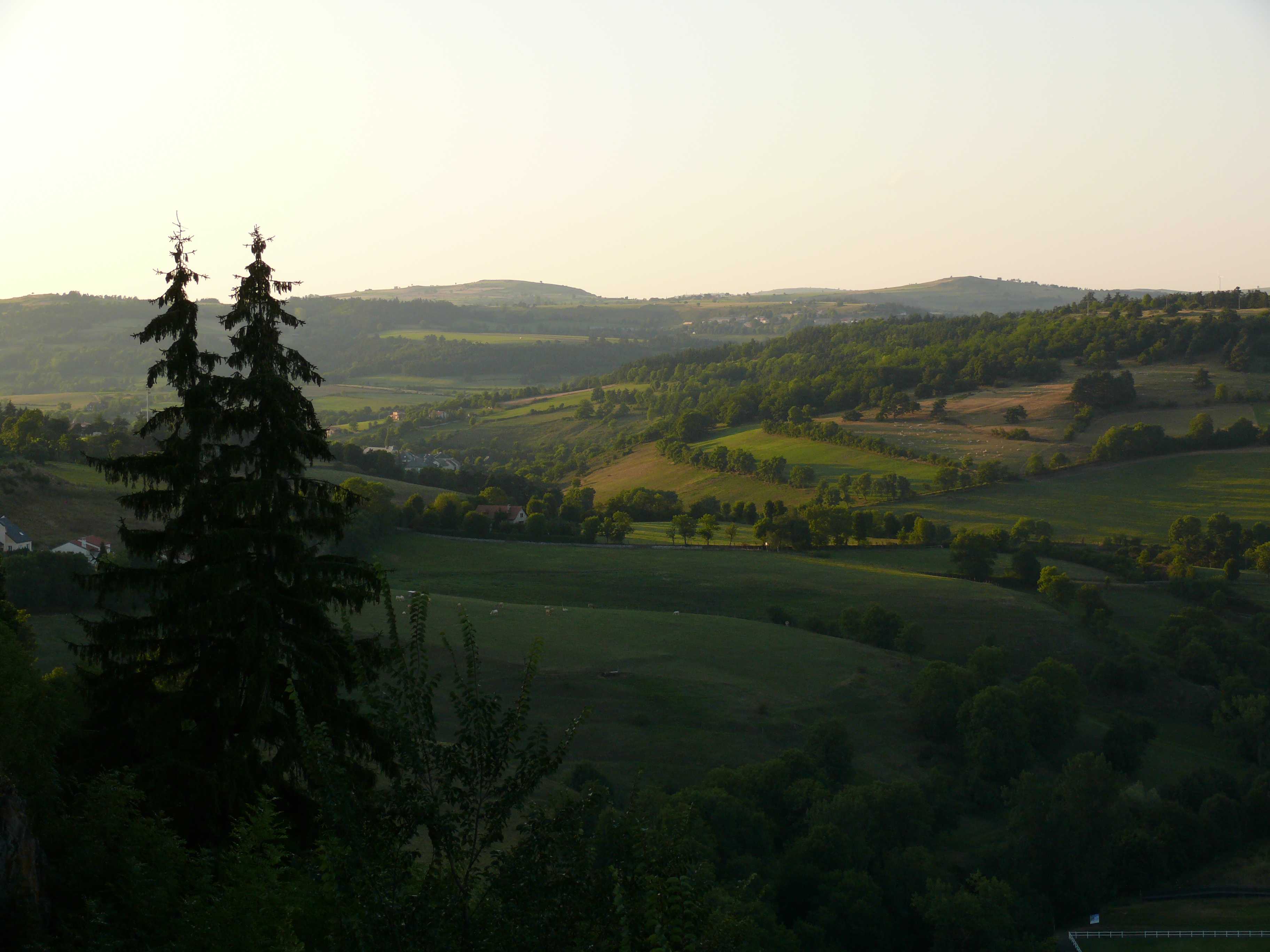
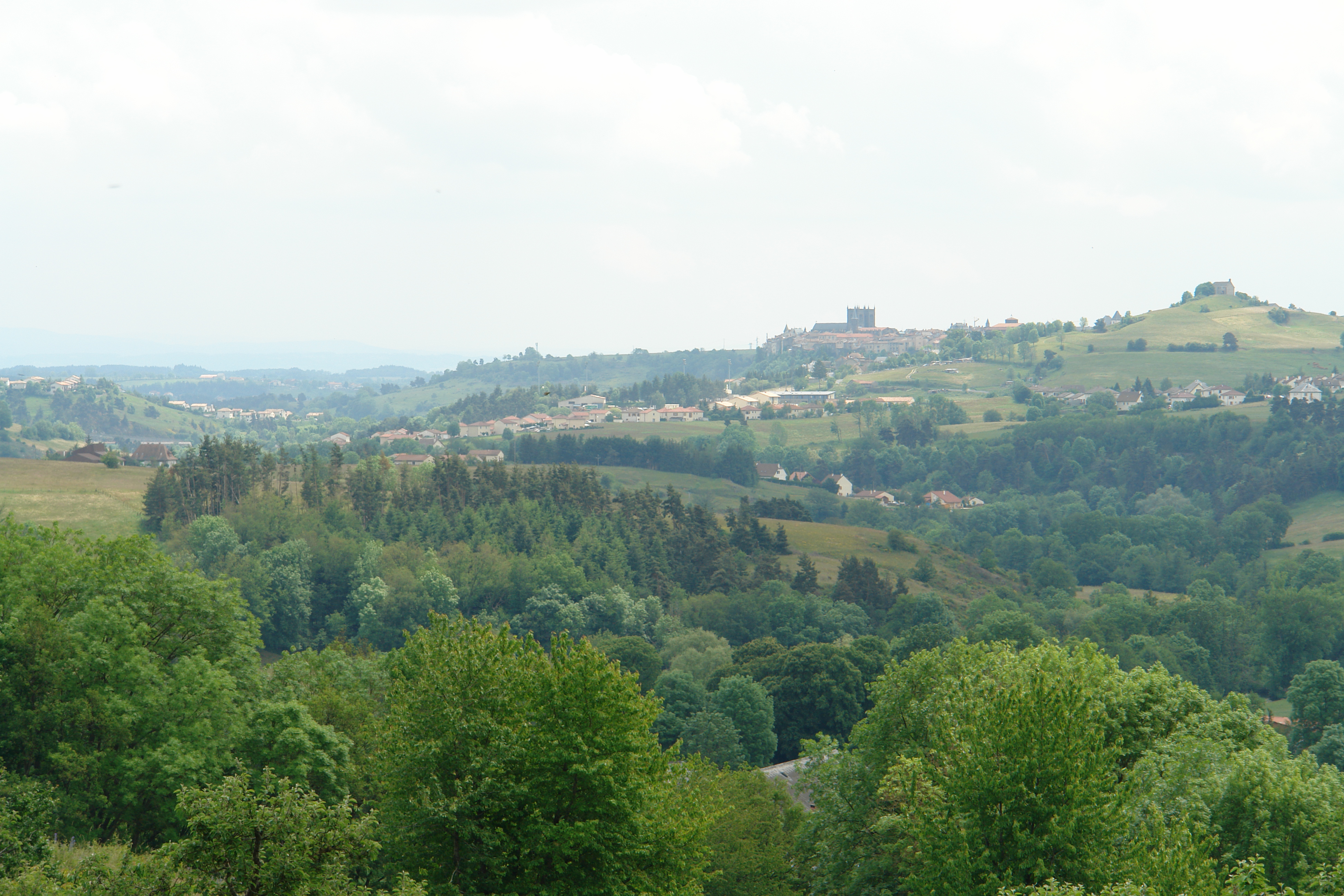
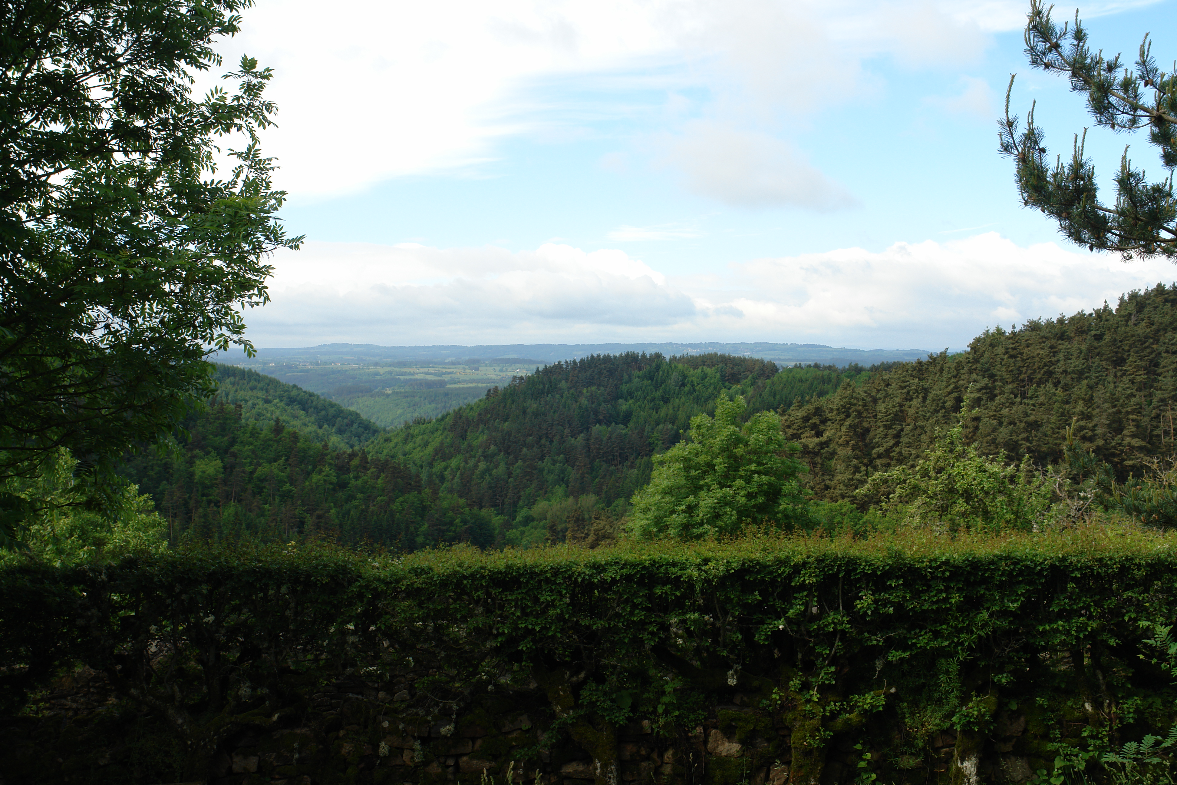
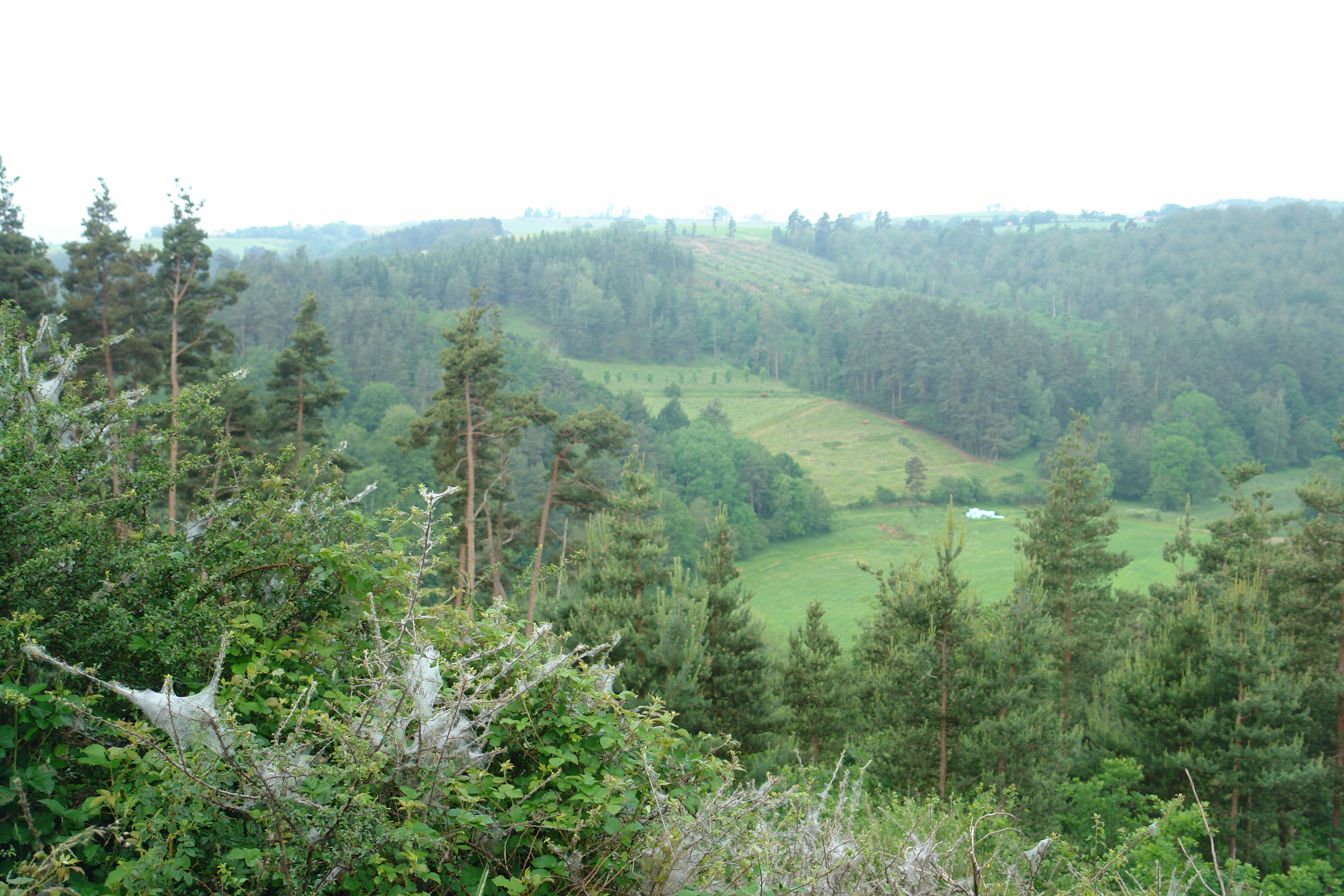
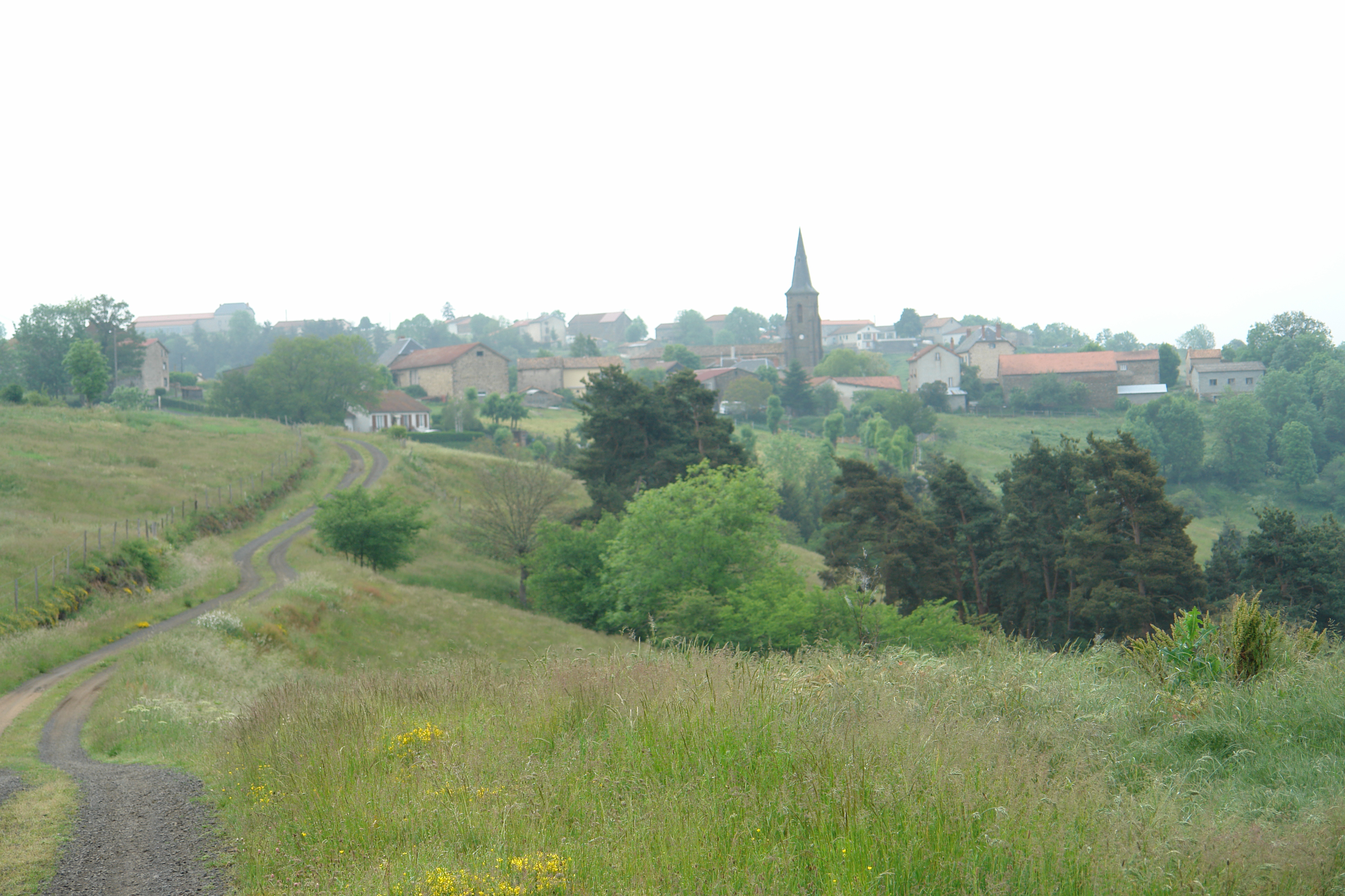
Sunrise & Sunset Photos
FRE_2717 - copie 2
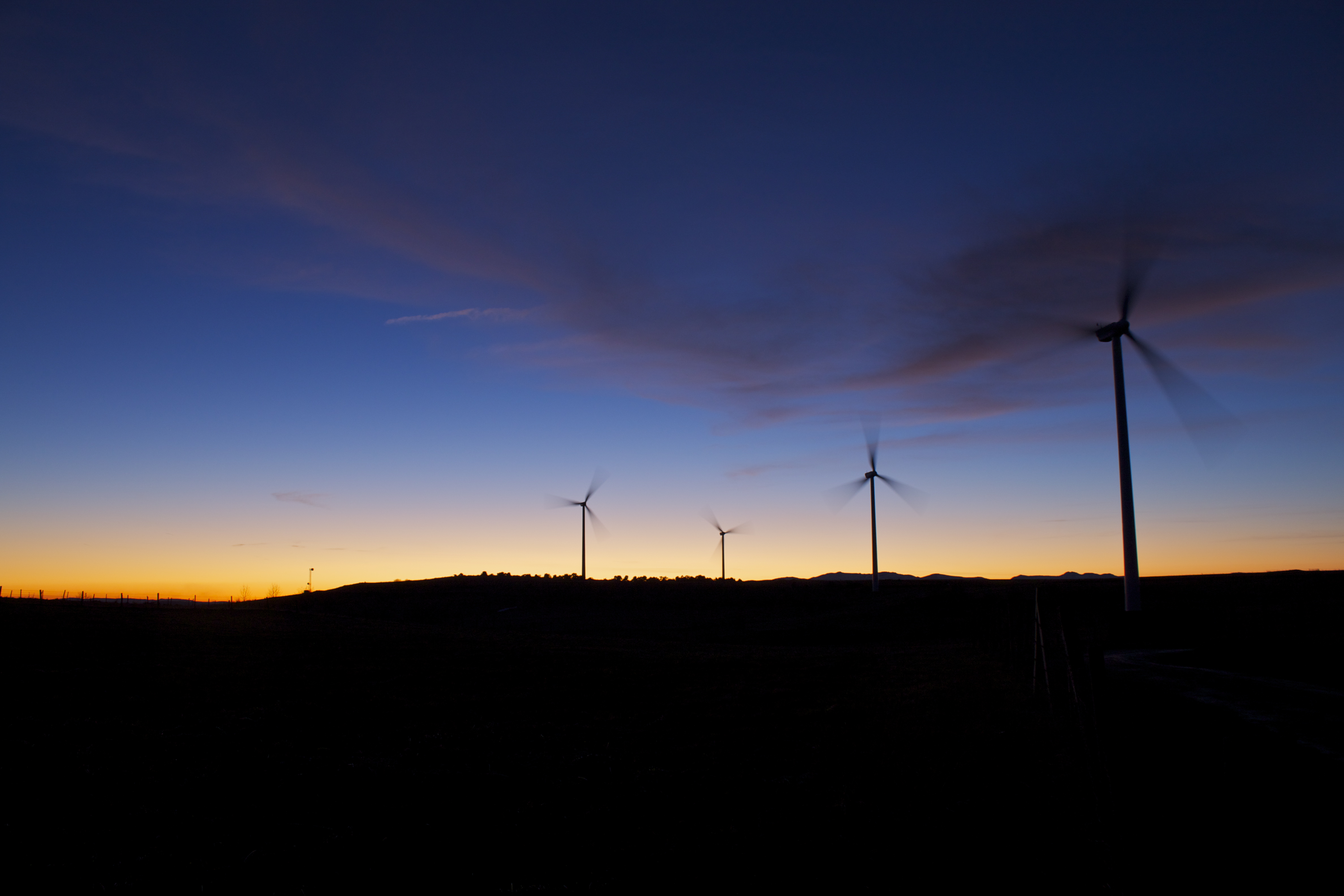
Eoliennes dans le Cantal - Coucher de soleil
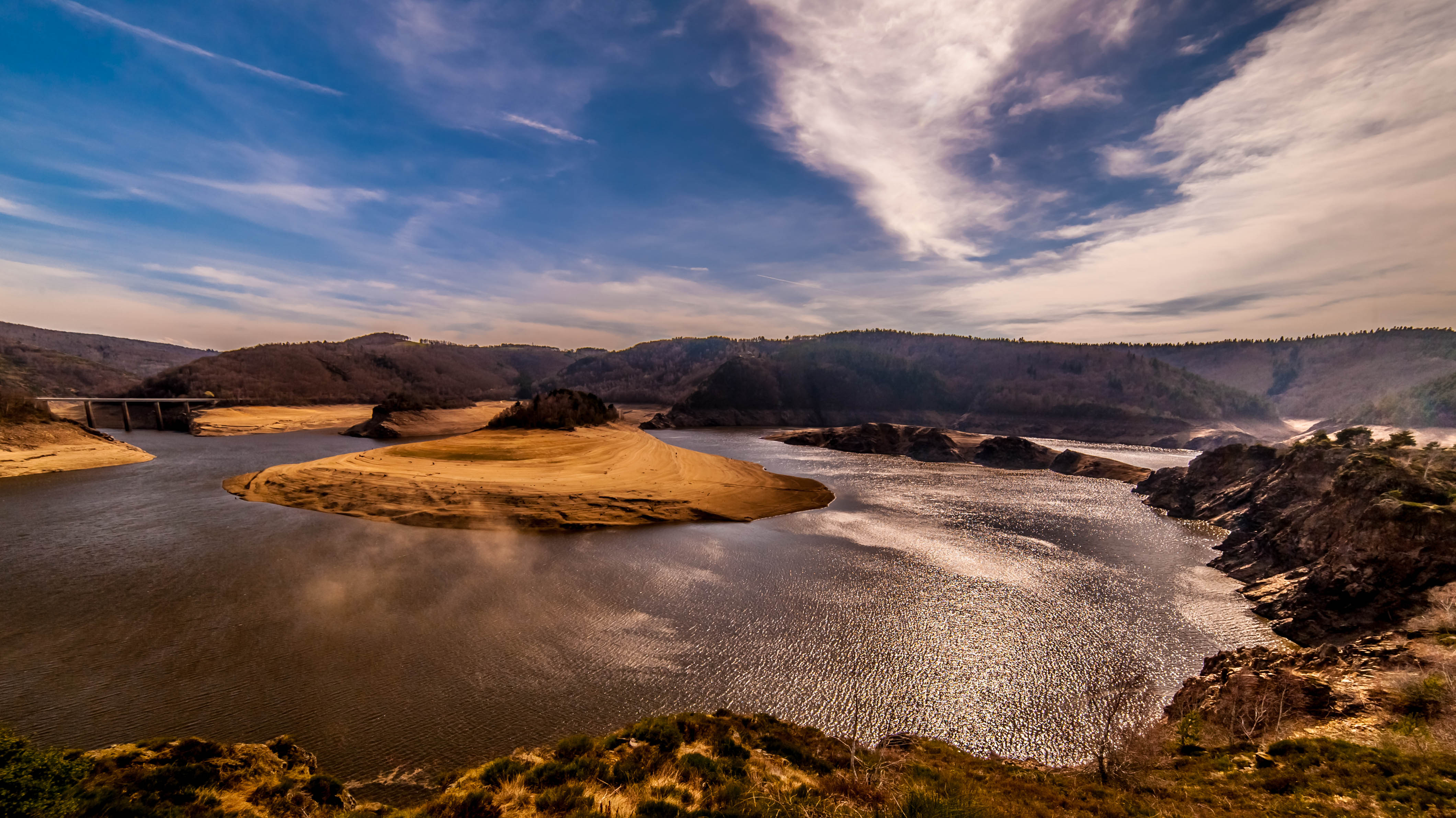
COUP de FOUDRE sur la PLANÈZE

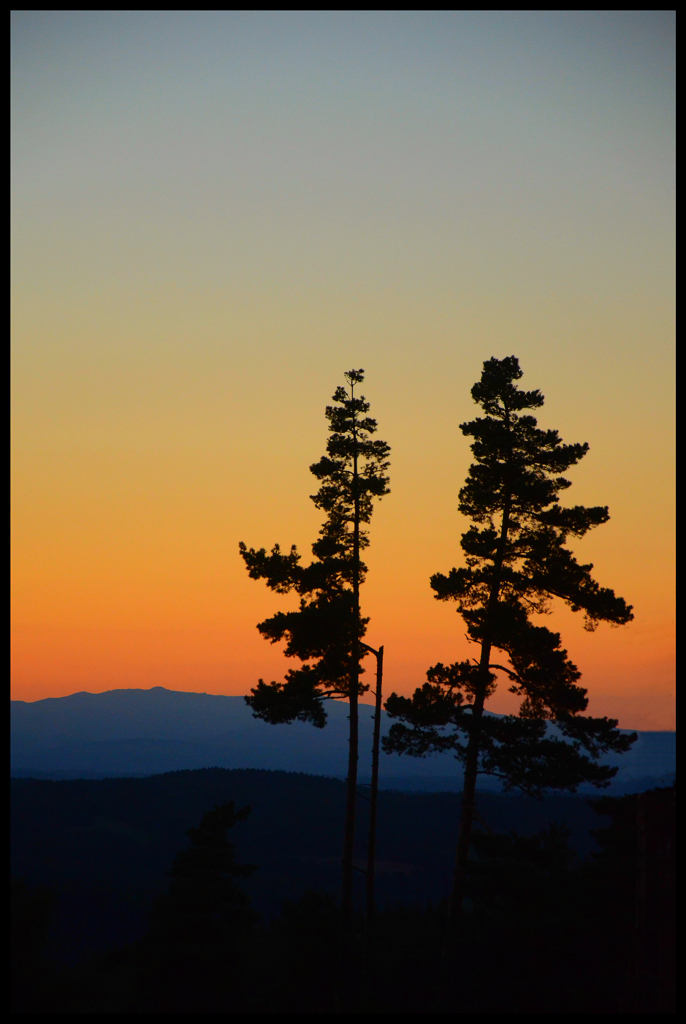
TdF11-1031

TdF11-1025
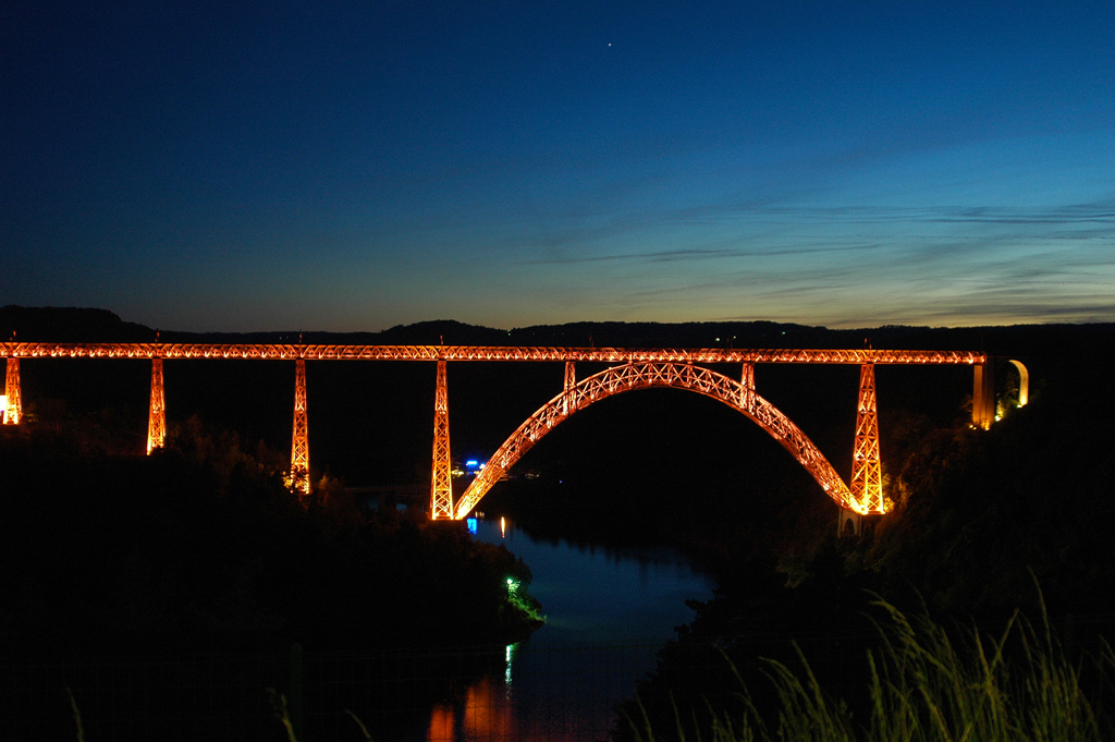
Viaduc de Garabit (1)
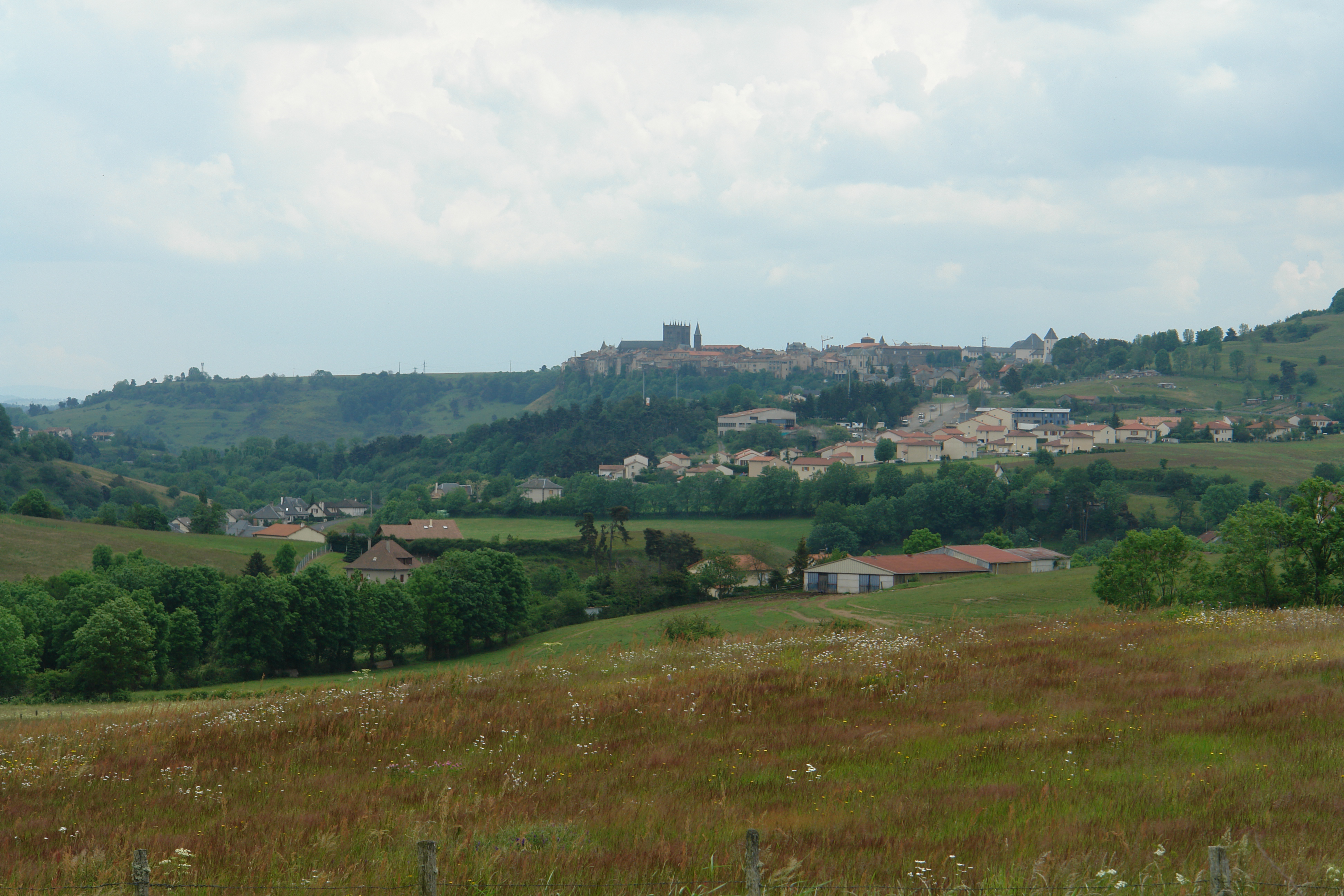
St Flour

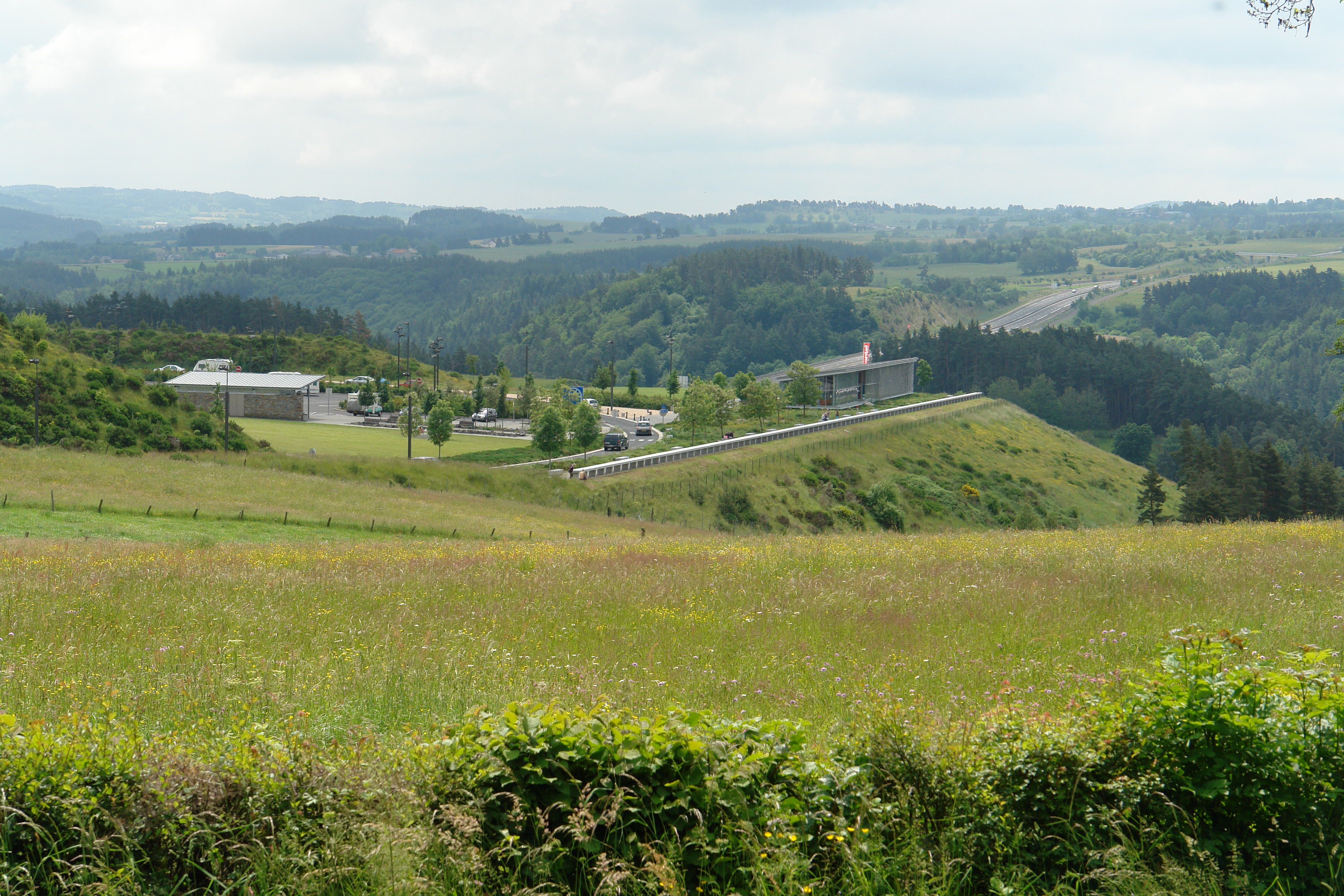
A75 "La Méridienne"- Coren (France)
St Flour from Andelat
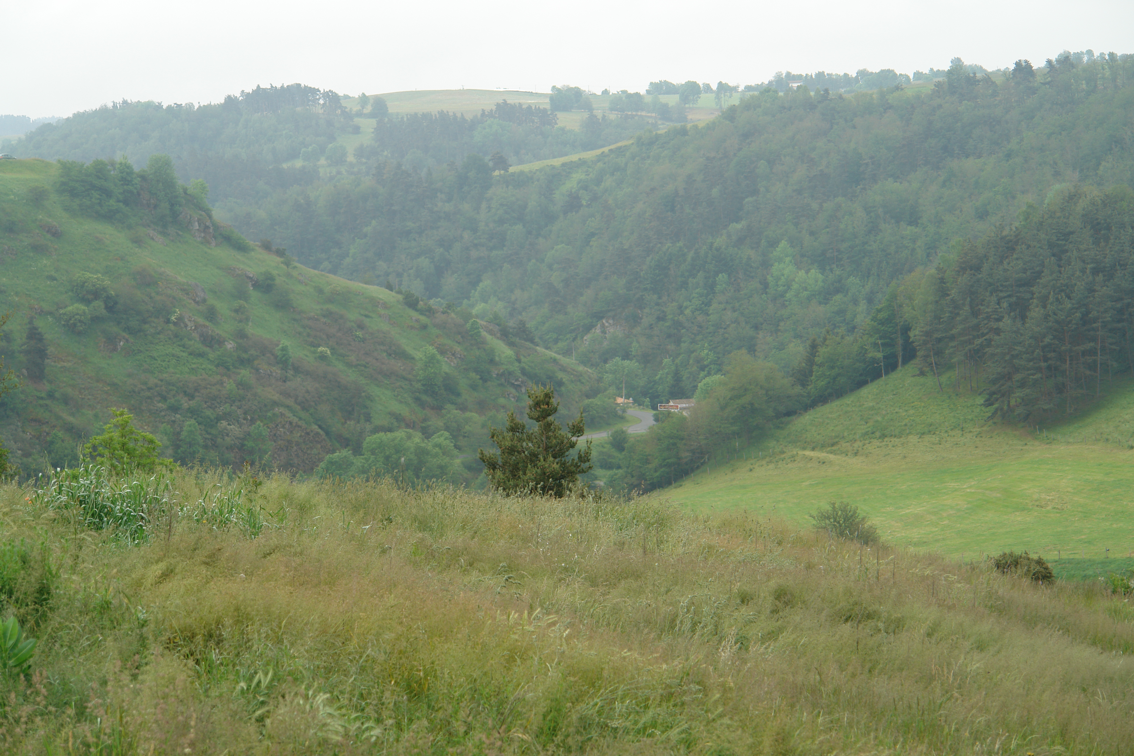
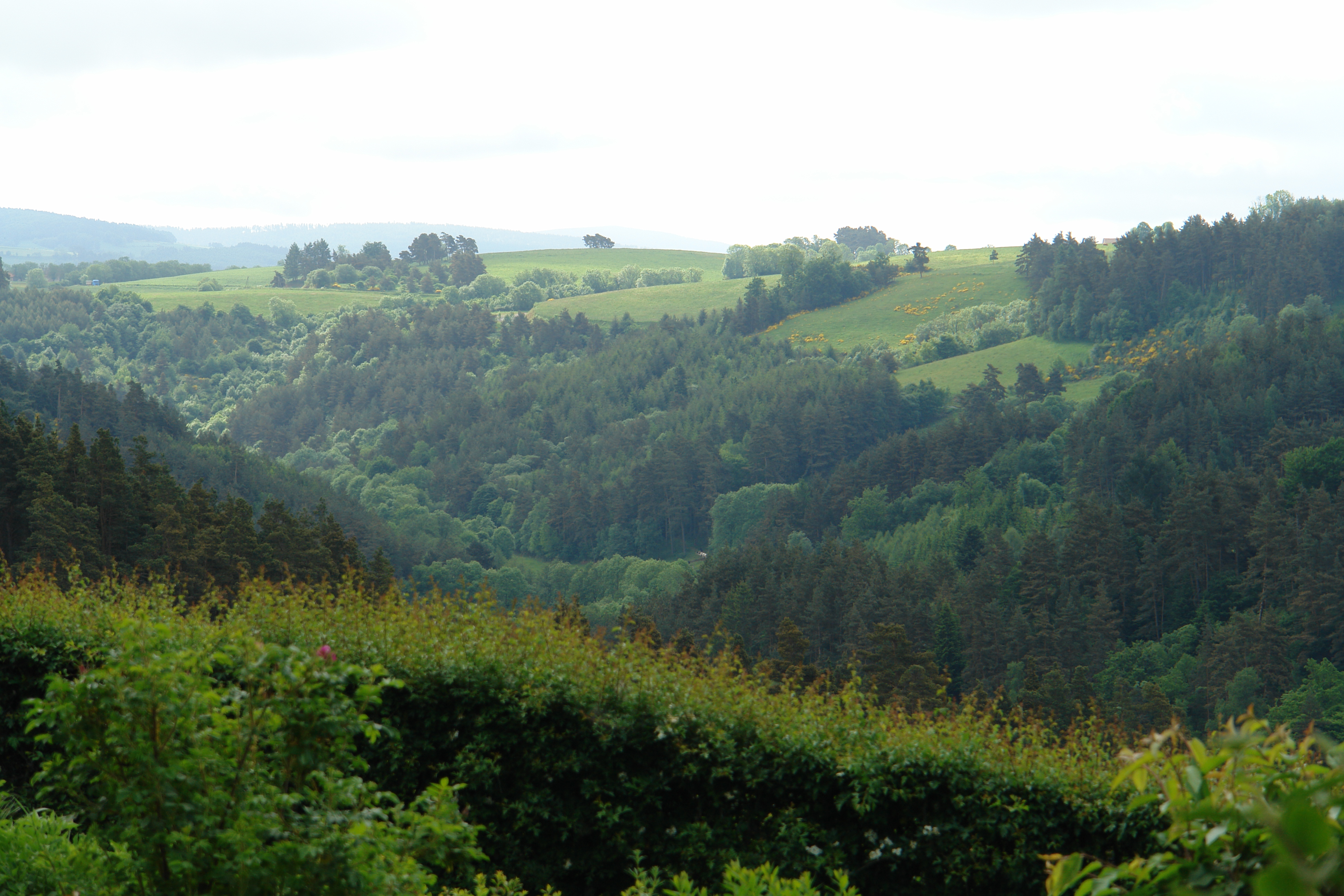
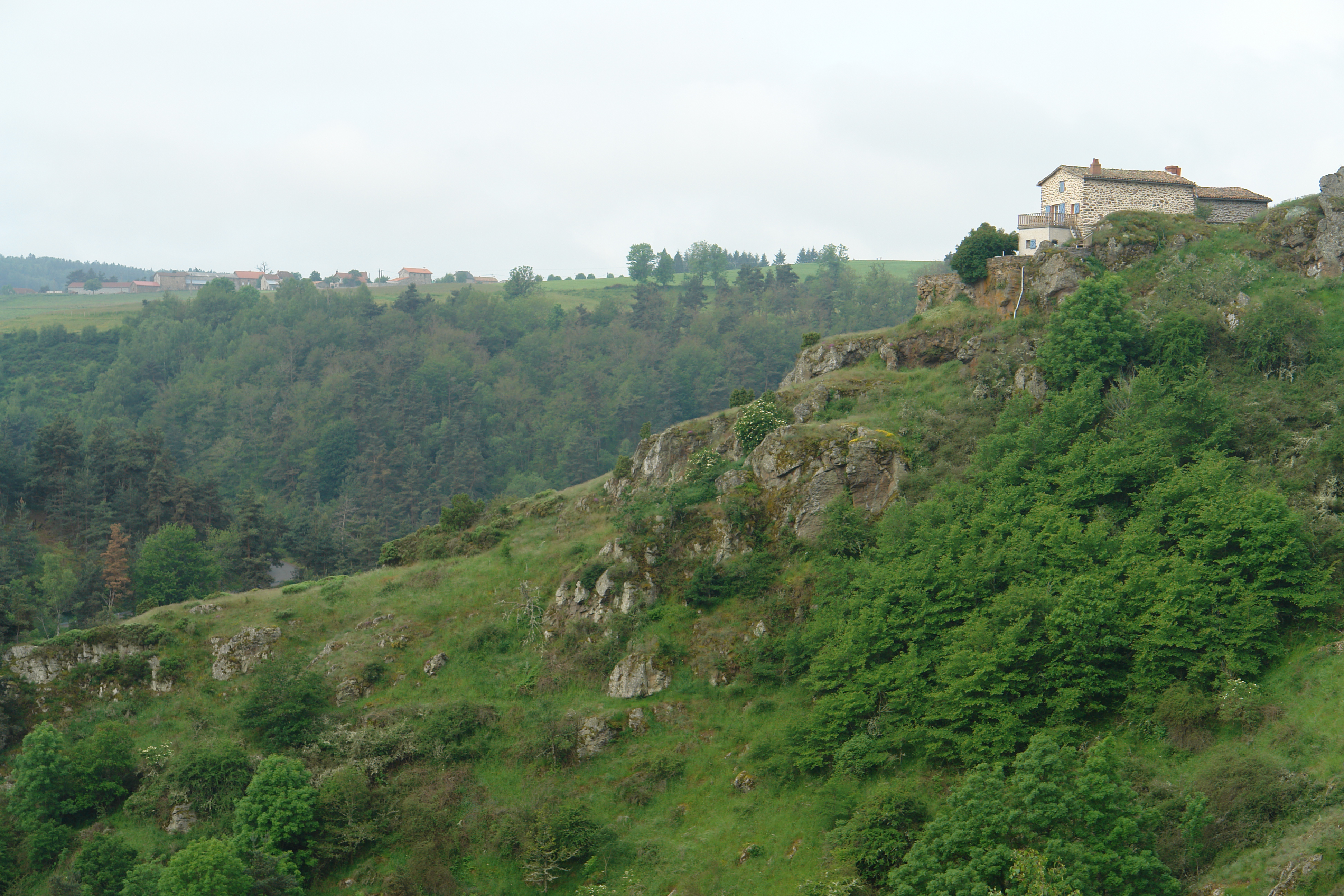
The steep valley sides near St Georges
DSC08356.JPG
DSC08362.JPG

DSC08361.JPG
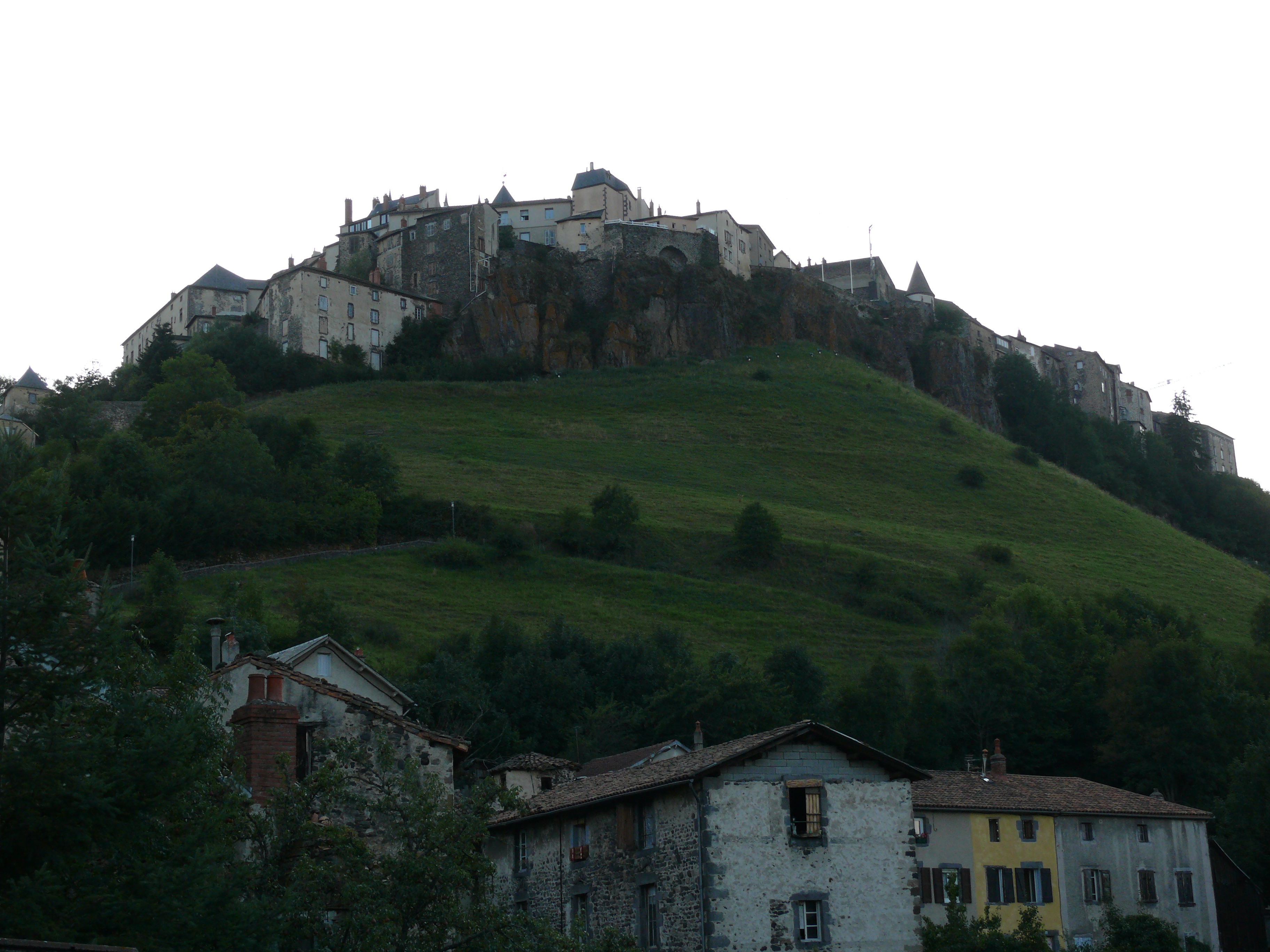
St Flour
DSC08354.JPG
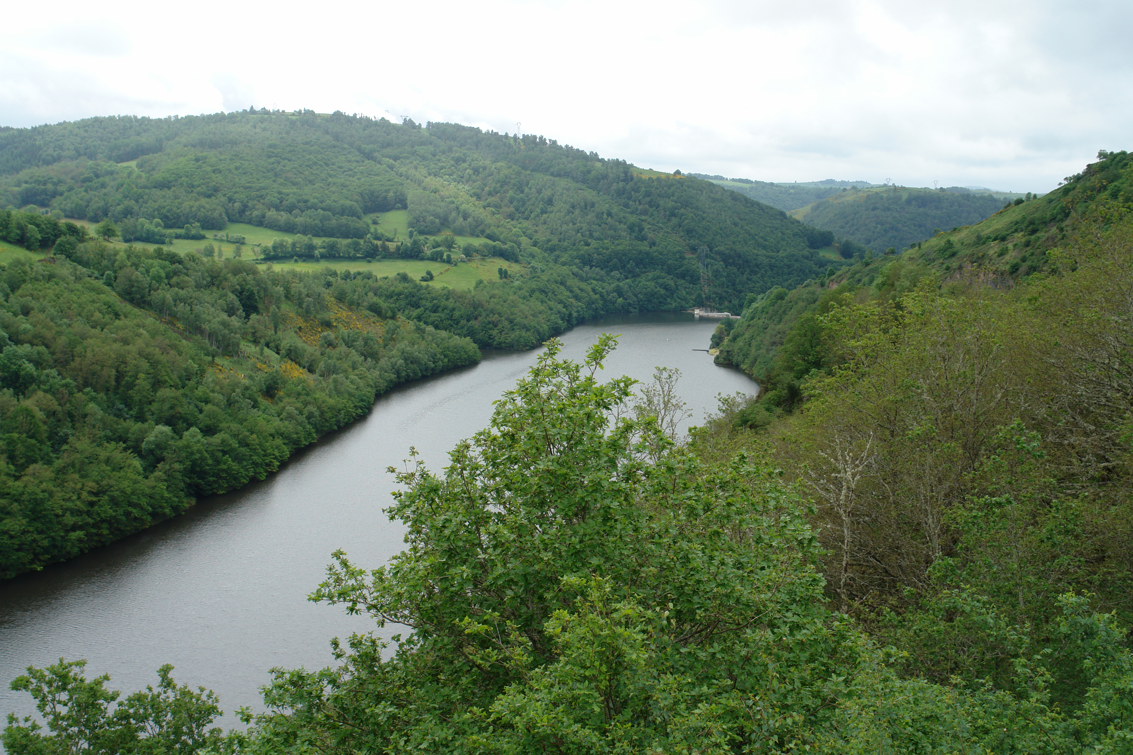
The Garabit Aire
Near St Georges
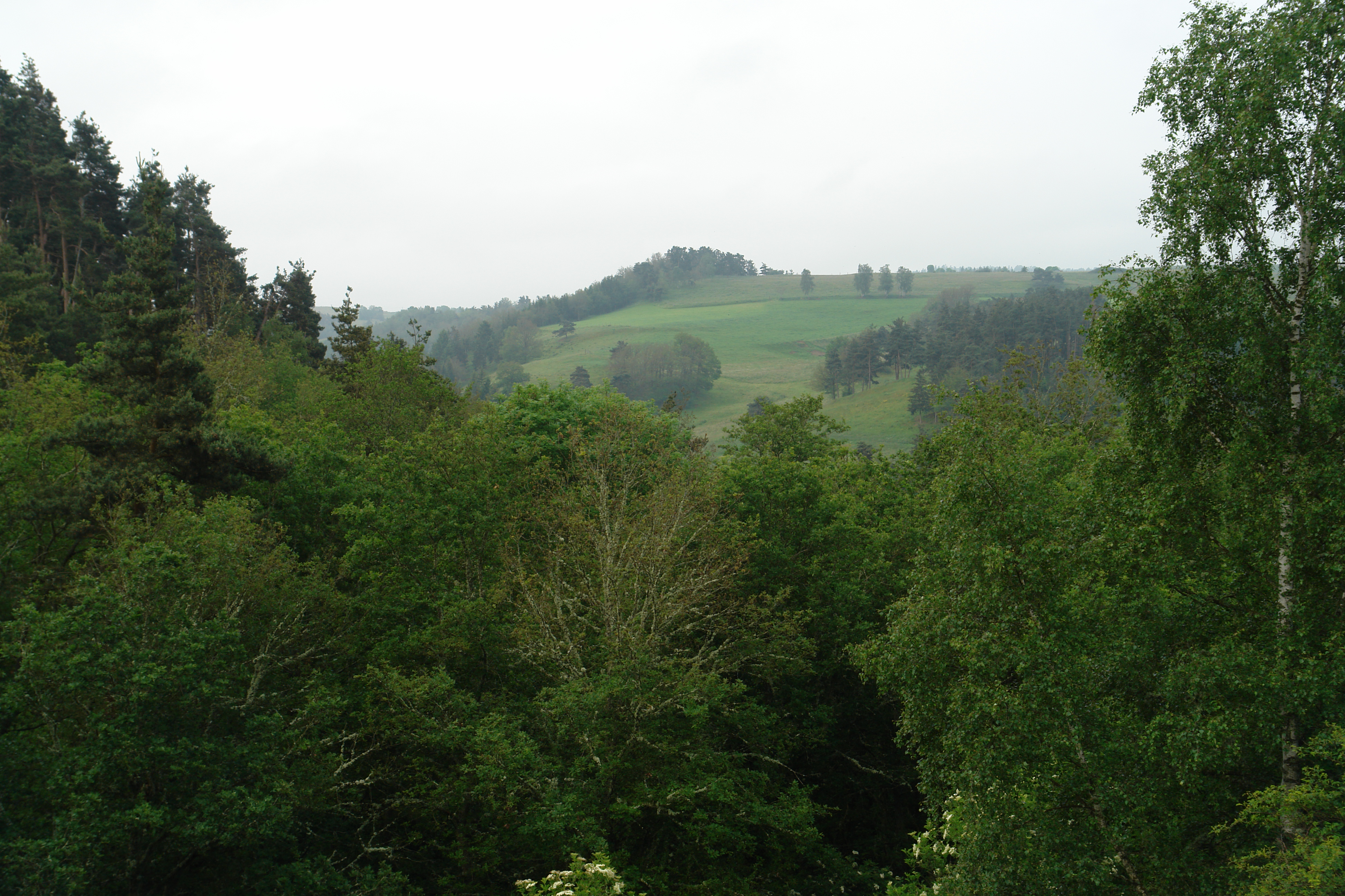
The valley of the l'Ander, near St George
Approaching St Georges
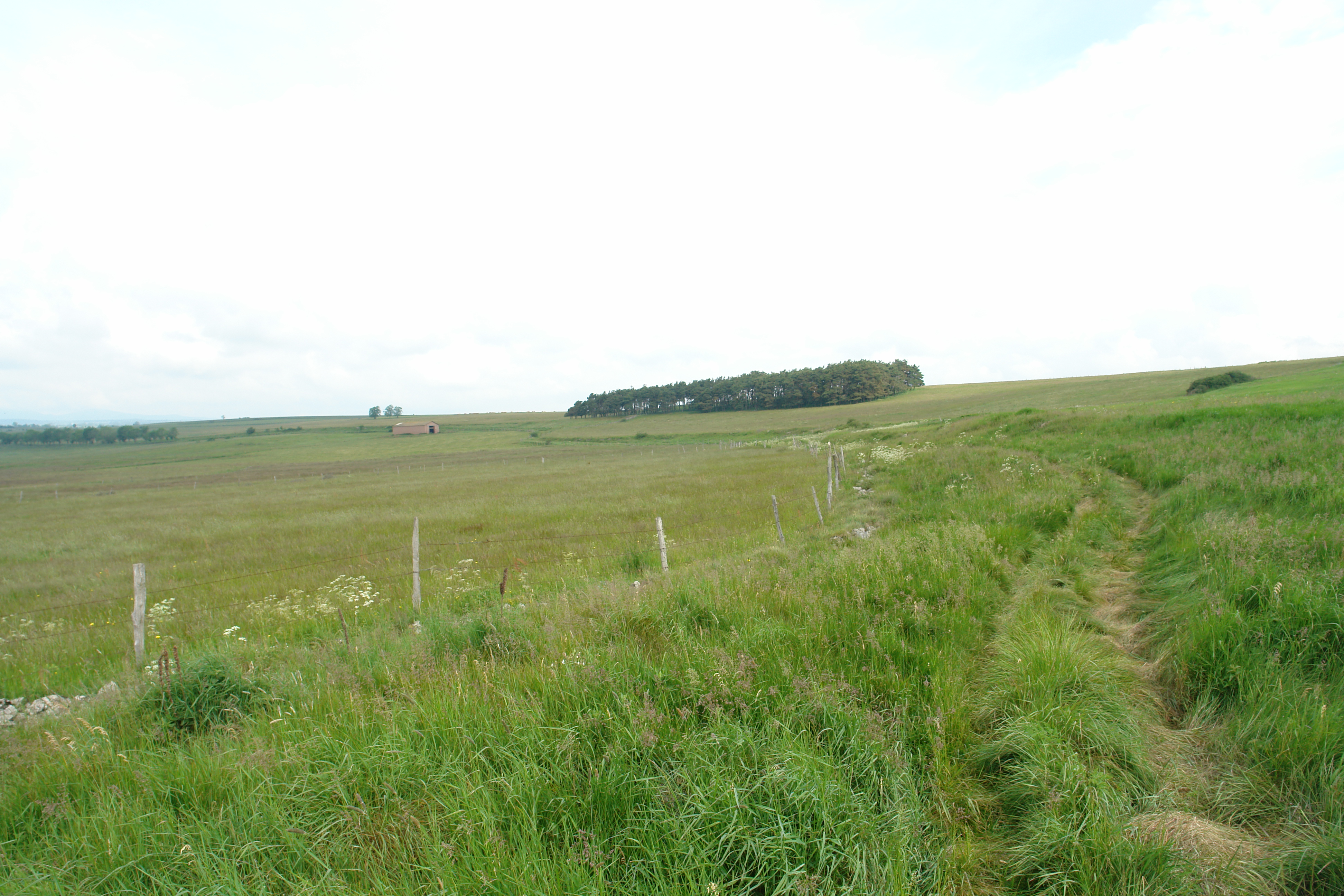
Walking across the never-ending Planeze
St Flour

St.-Flour
House in St Georges
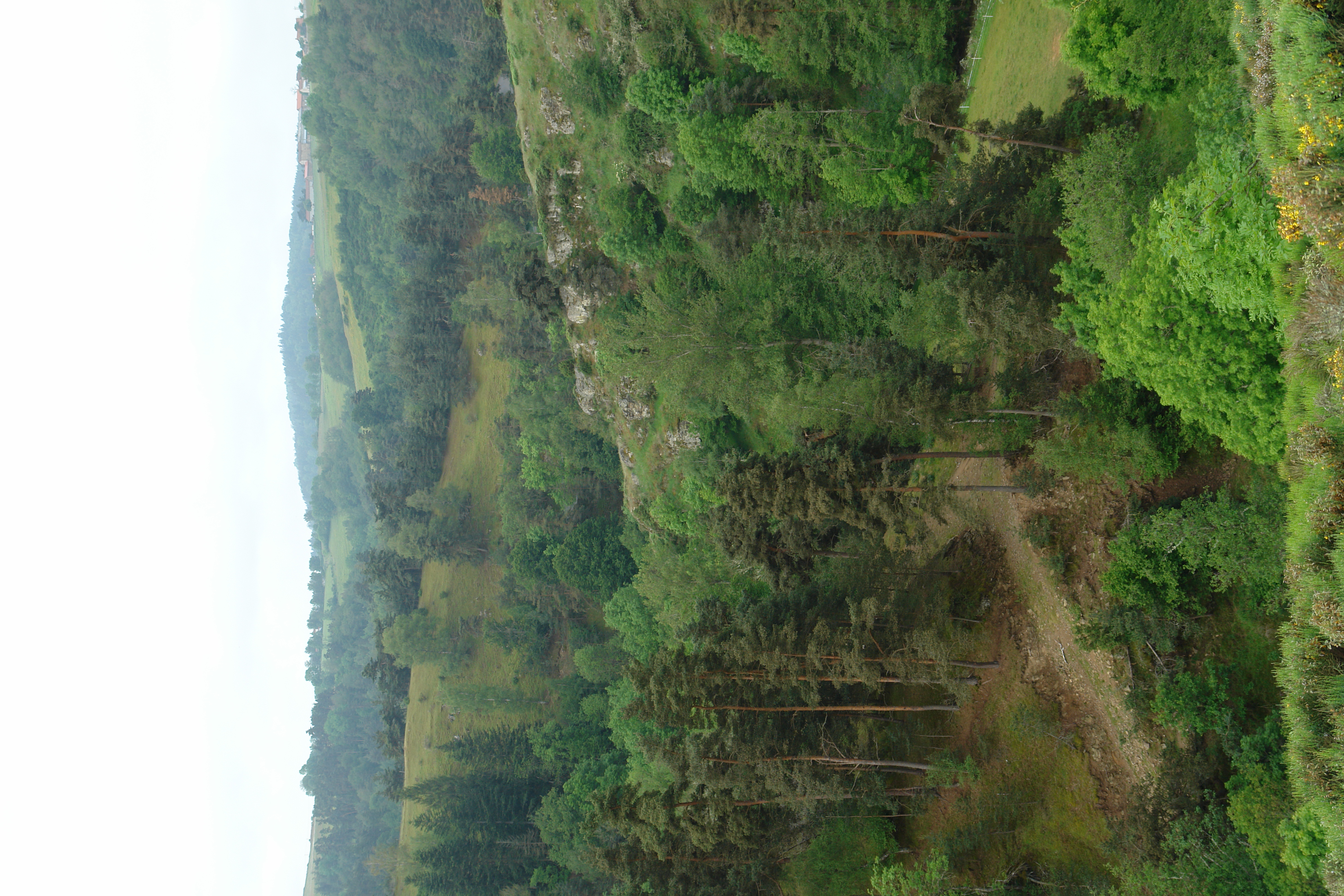
The valley below St Georges
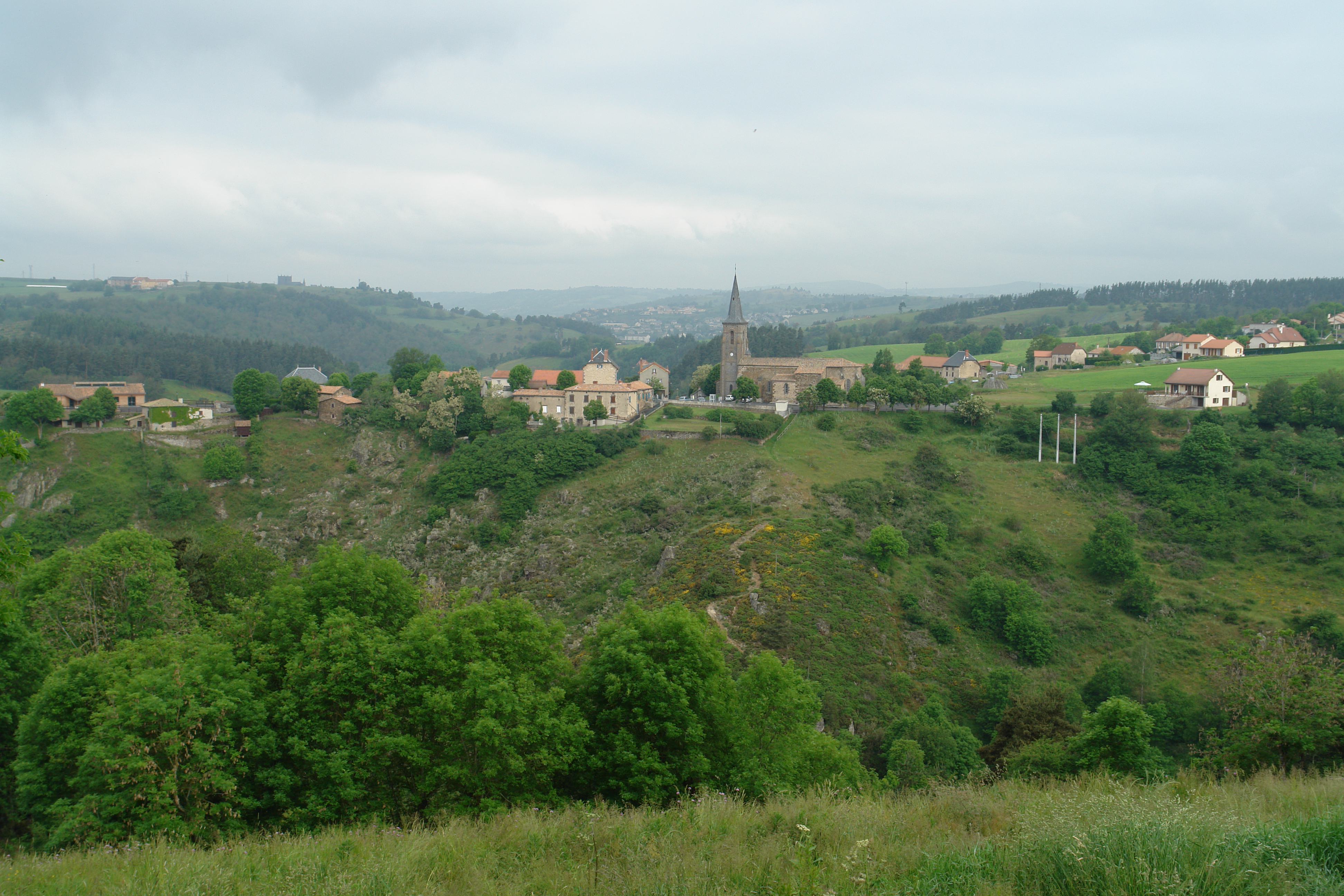
St Georges from across the steep valley
The countryside near St Flour

The countryside near St Georges
Villedieu, France Map
Search another place
Near Places
D, Villedieu, France
Faverolles, France
1 Rue de la Cabale, Faverolles, France
21bis Avenue Georges Pompidou, Pierrefort, France
Pierrefort, France
Aumont-Aubrac, France
Communauté de Communes La Terre de Peyre, Route du Languedoc, Aumont-Aubrac, France
Le Bouchet, Aumont-Aubrac, France
Les Courses, Saint-Alban-sur-Limagnole, France
Laguiole, France
Aubrac, Saint-Chély-d'Aubrac, France
Saint-Alban-sur-Limagnole, France
Le Buisson, France
Saint-Chély-d'Aubrac, France
D19, Prades-d'Aubrac, France
Prades-d'Aubrac, France
5 Chemin Jean Fontugne, Marvejols, France
Marvejols, France
Saint-Bonnet-de-Chirac, France
Saint-Préjet-d'Allier, France
Recent Searches
- Sunrise Sunset Times of Moresby Island, North Coast, BC V0T, Canada
- Sunrise Sunset Times of Aliağa, Samurlu, Aliağa/İzmir, Türkiye
- Sunrise Sunset Times of Taiwan, 台南市安南區幸福里
- Sunrise Sunset Times of Lane 55, Guo'an Street & Guo'an Street, Lane 55, Guo'an St & Guo'an St, Annan District, Tainan City,
- Sunrise Sunset Times of Kariega, South Africa
- Sunrise Sunset Times of Brooks Lp, Spearfish, SD, USA
- Sunrise Sunset Times of Via Buonarroti, 26, Roma RM, Italy
- Sunrise Sunset Times of Jais St - Wadi Shehah - Ras al Khaimah - United Arab Emirates
- Sunrise Sunset Times of Benagil, Carvoeiro, Portugal
- Sunrise Sunset Times of W Prive Cir, Delray Beach, FL, USA