Sunrise Sunset Times of Taylorsville, CA, USA
Location: United States > California > Plumas County >
Timezone:
America/Los_Angeles
Current Time:
2024-04-27 17:52:52
Longitude:
-120.8396752
Latitude:
40.0754477
Sunrise Today:
06:05:32 AM
Sunset Today:
07:55:53 PM
Daylength Today:
13h 50m 21s
Sunrise Tomorrow:
06:04:16 AM
Sunset Tomorrow:
07:56:54 PM
Daylength Tomorrow:
13h 52m 38s
Year Show All Dates
| Date | Sunrise | Sunset | Daylength |
|---|---|---|---|
| 01/01/2024 | 07:25:24 AM | 04:49:03 PM | 9h 23m 39s |
| 01/02/2024 | 07:25:29 AM | 04:49:55 PM | 9h 24m 26s |
| 01/03/2024 | 07:25:31 AM | 04:50:47 PM | 9h 25m 16s |
| 01/04/2024 | 07:25:31 AM | 04:51:41 PM | 9h 26m 10s |
| 01/05/2024 | 07:25:29 AM | 04:52:37 PM | 9h 27m 8s |
| 01/06/2024 | 07:25:25 AM | 04:53:33 PM | 9h 28m 8s |
| 01/07/2024 | 07:25:18 AM | 04:54:31 PM | 9h 29m 13s |
| 01/08/2024 | 07:25:09 AM | 04:55:30 PM | 9h 30m 21s |
| 01/09/2024 | 07:24:58 AM | 04:56:31 PM | 9h 31m 33s |
| 01/10/2024 | 07:24:45 AM | 04:57:32 PM | 9h 32m 47s |
| 01/11/2024 | 07:24:29 AM | 04:58:35 PM | 9h 34m 6s |
| 01/12/2024 | 07:24:11 AM | 04:59:38 PM | 9h 35m 27s |
| 01/13/2024 | 07:23:52 AM | 05:00:42 PM | 9h 36m 50s |
| 01/14/2024 | 07:23:30 AM | 05:01:47 PM | 9h 38m 17s |
| 01/15/2024 | 07:23:05 AM | 05:02:53 PM | 9h 39m 48s |
| 01/16/2024 | 07:22:39 AM | 05:04:00 PM | 9h 41m 21s |
| 01/17/2024 | 07:22:11 AM | 05:05:07 PM | 9h 42m 56s |
| 01/18/2024 | 07:21:40 AM | 05:06:16 PM | 9h 44m 36s |
| 01/19/2024 | 07:21:08 AM | 05:07:24 PM | 9h 46m 16s |
| 01/20/2024 | 07:20:33 AM | 05:08:33 PM | 9h 48m 0s |
| 01/21/2024 | 07:19:56 AM | 05:09:43 PM | 9h 49m 47s |
| 01/22/2024 | 07:19:18 AM | 05:10:53 PM | 9h 51m 35s |
| 01/23/2024 | 07:18:37 AM | 05:12:04 PM | 9h 53m 27s |
| 01/24/2024 | 07:17:55 AM | 05:13:15 PM | 9h 55m 20s |
| 01/25/2024 | 07:17:10 AM | 05:14:26 PM | 9h 57m 16s |
| 01/26/2024 | 07:16:24 AM | 05:15:38 PM | 9h 59m 14s |
| 01/27/2024 | 07:15:36 AM | 05:16:50 PM | 10h 1m 14s |
| 01/28/2024 | 07:14:46 AM | 05:18:02 PM | 10h 3m 16s |
| 01/29/2024 | 07:13:54 AM | 05:19:14 PM | 10h 5m 20s |
| 01/30/2024 | 07:13:00 AM | 05:20:26 PM | 10h 7m 26s |
| 01/31/2024 | 07:12:05 AM | 05:21:38 PM | 10h 9m 33s |
| 02/01/2024 | 07:11:08 AM | 05:22:51 PM | 10h 11m 43s |
| 02/02/2024 | 07:10:10 AM | 05:24:03 PM | 10h 13m 53s |
| 02/03/2024 | 07:09:09 AM | 05:25:16 PM | 10h 16m 7s |
| 02/04/2024 | 07:08:08 AM | 05:26:28 PM | 10h 18m 20s |
| 02/05/2024 | 07:07:04 AM | 05:27:40 PM | 10h 20m 36s |
| 02/06/2024 | 07:05:59 AM | 05:28:53 PM | 10h 22m 54s |
| 02/07/2024 | 07:04:53 AM | 05:30:05 PM | 10h 25m 12s |
| 02/08/2024 | 07:03:45 AM | 05:31:17 PM | 10h 27m 32s |
| 02/09/2024 | 07:02:36 AM | 05:32:29 PM | 10h 29m 53s |
| 02/10/2024 | 07:01:26 AM | 05:33:40 PM | 10h 32m 14s |
| 02/11/2024 | 07:00:14 AM | 05:34:52 PM | 10h 34m 38s |
| 02/12/2024 | 06:59:00 AM | 05:36:03 PM | 10h 37m 3s |
| 02/13/2024 | 06:57:46 AM | 05:37:14 PM | 10h 39m 28s |
| 02/14/2024 | 06:56:30 AM | 05:38:25 PM | 10h 41m 55s |
| 02/15/2024 | 06:55:13 AM | 05:39:36 PM | 10h 44m 23s |
| 02/16/2024 | 06:53:55 AM | 05:40:46 PM | 10h 46m 51s |
| 02/17/2024 | 06:52:36 AM | 05:41:56 PM | 10h 49m 20s |
| 02/18/2024 | 06:51:16 AM | 05:43:06 PM | 10h 51m 50s |
| 02/19/2024 | 06:49:54 AM | 05:44:15 PM | 10h 54m 21s |
| 02/20/2024 | 06:48:32 AM | 05:45:24 PM | 10h 56m 52s |
| 02/21/2024 | 06:47:09 AM | 05:46:33 PM | 10h 59m 24s |
| 02/22/2024 | 06:45:44 AM | 05:47:42 PM | 11h 1m 58s |
| 02/23/2024 | 06:44:19 AM | 05:48:50 PM | 11h 4m 31s |
| 02/24/2024 | 06:42:53 AM | 05:49:58 PM | 11h 7m 5s |
| 02/25/2024 | 06:41:26 AM | 05:51:06 PM | 11h 9m 40s |
| 02/26/2024 | 06:39:58 AM | 05:52:13 PM | 11h 12m 15s |
| 02/27/2024 | 06:38:29 AM | 05:53:20 PM | 11h 14m 51s |
| 02/28/2024 | 06:37:00 AM | 05:54:27 PM | 11h 17m 27s |
| 02/29/2024 | 06:35:30 AM | 05:55:34 PM | 11h 20m 4s |
| 03/01/2024 | 06:33:59 AM | 05:56:40 PM | 11h 22m 41s |
| 03/02/2024 | 06:32:28 AM | 05:57:46 PM | 11h 25m 18s |
| 03/03/2024 | 06:30:56 AM | 05:58:51 PM | 11h 27m 55s |
| 03/04/2024 | 06:29:23 AM | 05:59:56 PM | 11h 30m 33s |
| 03/05/2024 | 06:27:50 AM | 06:01:02 PM | 11h 33m 12s |
| 03/06/2024 | 06:26:17 AM | 06:02:06 PM | 11h 35m 49s |
| 03/07/2024 | 06:24:42 AM | 06:03:11 PM | 11h 38m 29s |
| 03/08/2024 | 06:23:08 AM | 06:04:15 PM | 11h 41m 7s |
| 03/09/2024 | 06:21:33 AM | 06:05:19 PM | 11h 43m 46s |
| 03/10/2024 | 07:20:01 AM | 07:06:20 PM | 11h 46m 19s |
| 03/11/2024 | 07:18:26 AM | 07:07:24 PM | 11h 48m 58s |
| 03/12/2024 | 07:16:50 AM | 07:08:27 PM | 11h 51m 37s |
| 03/13/2024 | 07:15:13 AM | 07:09:30 PM | 11h 54m 17s |
| 03/14/2024 | 07:13:37 AM | 07:10:33 PM | 11h 56m 56s |
| 03/15/2024 | 07:12:00 AM | 07:11:36 PM | 11h 59m 36s |
| 03/16/2024 | 07:10:23 AM | 07:12:38 PM | 12h 2m 15s |
| 03/17/2024 | 07:08:45 AM | 07:13:41 PM | 12h 4m 56s |
| 03/18/2024 | 07:07:08 AM | 07:14:43 PM | 12h 7m 35s |
| 03/19/2024 | 07:05:30 AM | 07:15:45 PM | 12h 10m 15s |
| 03/20/2024 | 07:03:53 AM | 07:16:47 PM | 12h 12m 54s |
| 03/21/2024 | 07:02:15 AM | 07:17:49 PM | 12h 15m 34s |
| 03/22/2024 | 07:00:37 AM | 07:18:50 PM | 12h 18m 13s |
| 03/23/2024 | 06:59:00 AM | 07:19:52 PM | 12h 20m 52s |
| 03/24/2024 | 06:57:22 AM | 07:20:53 PM | 12h 23m 31s |
| 03/25/2024 | 06:55:44 AM | 07:21:55 PM | 12h 26m 11s |
| 03/26/2024 | 06:54:07 AM | 07:22:56 PM | 12h 28m 49s |
| 03/27/2024 | 06:52:29 AM | 07:23:57 PM | 12h 31m 28s |
| 03/28/2024 | 06:50:52 AM | 07:24:58 PM | 12h 34m 6s |
| 03/29/2024 | 06:49:15 AM | 07:25:59 PM | 12h 36m 44s |
| 03/30/2024 | 06:47:38 AM | 07:27:00 PM | 12h 39m 22s |
| 03/31/2024 | 06:46:02 AM | 07:28:01 PM | 12h 41m 59s |
| 04/01/2024 | 06:44:26 AM | 07:29:02 PM | 12h 44m 36s |
| 04/02/2024 | 06:42:50 AM | 07:30:03 PM | 12h 47m 13s |
| 04/03/2024 | 06:41:14 AM | 07:31:04 PM | 12h 49m 50s |
| 04/04/2024 | 06:39:39 AM | 07:32:05 PM | 12h 52m 26s |
| 04/05/2024 | 06:38:04 AM | 07:33:06 PM | 12h 55m 2s |
| 04/06/2024 | 06:36:30 AM | 07:34:07 PM | 12h 57m 37s |
| 04/07/2024 | 06:34:56 AM | 07:35:08 PM | 13h 0m 12s |
| 04/08/2024 | 06:33:22 AM | 07:36:09 PM | 13h 2m 47s |
| 04/09/2024 | 06:31:49 AM | 07:37:10 PM | 13h 5m 21s |
| 04/10/2024 | 06:30:17 AM | 07:38:11 PM | 13h 7m 54s |
| 04/11/2024 | 06:28:45 AM | 07:39:12 PM | 13h 10m 27s |
| 04/12/2024 | 06:27:14 AM | 07:40:13 PM | 13h 12m 59s |
| 04/13/2024 | 06:25:43 AM | 07:41:14 PM | 13h 15m 31s |
| 04/14/2024 | 06:24:13 AM | 07:42:15 PM | 13h 18m 2s |
| 04/15/2024 | 06:22:44 AM | 07:43:16 PM | 13h 20m 32s |
| 04/16/2024 | 06:21:16 AM | 07:44:17 PM | 13h 23m 1s |
| 04/17/2024 | 06:19:48 AM | 07:45:19 PM | 13h 25m 31s |
| 04/18/2024 | 06:18:21 AM | 07:46:20 PM | 13h 27m 59s |
| 04/19/2024 | 06:16:55 AM | 07:47:21 PM | 13h 30m 26s |
| 04/20/2024 | 06:15:30 AM | 07:48:22 PM | 13h 32m 52s |
| 04/21/2024 | 06:14:06 AM | 07:49:23 PM | 13h 35m 17s |
| 04/22/2024 | 06:12:43 AM | 07:50:25 PM | 13h 37m 42s |
| 04/23/2024 | 06:11:20 AM | 07:51:26 PM | 13h 40m 6s |
| 04/24/2024 | 06:09:59 AM | 07:52:27 PM | 13h 42m 28s |
| 04/25/2024 | 06:08:39 AM | 07:53:28 PM | 13h 44m 49s |
| 04/26/2024 | 06:07:19 AM | 07:54:29 PM | 13h 47m 10s |
| 04/27/2024 | 06:06:01 AM | 07:55:30 PM | 13h 49m 29s |
| 04/28/2024 | 06:04:44 AM | 07:56:31 PM | 13h 51m 47s |
| 04/29/2024 | 06:03:28 AM | 07:57:32 PM | 13h 54m 4s |
| 04/30/2024 | 06:02:14 AM | 07:58:32 PM | 13h 56m 18s |
| 05/01/2024 | 06:01:00 AM | 07:59:33 PM | 13h 58m 33s |
| 05/02/2024 | 05:59:48 AM | 08:00:33 PM | 14h 0m 45s |
| 05/03/2024 | 05:58:37 AM | 08:01:34 PM | 14h 2m 57s |
| 05/04/2024 | 05:57:27 AM | 08:02:34 PM | 14h 5m 7s |
| 05/05/2024 | 05:56:19 AM | 08:03:34 PM | 14h 7m 15s |
| 05/06/2024 | 05:55:12 AM | 08:04:33 PM | 14h 9m 21s |
| 05/07/2024 | 05:54:06 AM | 08:05:33 PM | 14h 11m 27s |
| 05/08/2024 | 05:53:02 AM | 08:06:32 PM | 14h 13m 30s |
| 05/09/2024 | 05:51:59 AM | 08:07:31 PM | 14h 15m 32s |
| 05/10/2024 | 05:50:58 AM | 08:08:29 PM | 14h 17m 31s |
| 05/11/2024 | 05:49:58 AM | 08:09:27 PM | 14h 19m 29s |
| 05/12/2024 | 05:49:00 AM | 08:10:25 PM | 14h 21m 25s |
| 05/13/2024 | 05:48:03 AM | 08:11:22 PM | 14h 23m 19s |
| 05/14/2024 | 05:47:08 AM | 08:12:19 PM | 14h 25m 11s |
| 05/15/2024 | 05:46:15 AM | 08:13:15 PM | 14h 27m 0s |
| 05/16/2024 | 05:45:23 AM | 08:14:11 PM | 14h 28m 48s |
| 05/17/2024 | 05:44:33 AM | 08:15:06 PM | 14h 30m 33s |
| 05/18/2024 | 05:43:45 AM | 08:16:01 PM | 14h 32m 16s |
| 05/19/2024 | 05:42:58 AM | 08:16:55 PM | 14h 33m 57s |
| 05/20/2024 | 05:42:13 AM | 08:17:48 PM | 14h 35m 35s |
| 05/21/2024 | 05:41:30 AM | 08:18:40 PM | 14h 37m 10s |
| 05/22/2024 | 05:40:48 AM | 08:19:32 PM | 14h 38m 44s |
| 05/23/2024 | 05:40:09 AM | 08:20:23 PM | 14h 40m 14s |
| 05/24/2024 | 05:39:31 AM | 08:21:13 PM | 14h 41m 42s |
| 05/25/2024 | 05:38:55 AM | 08:22:03 PM | 14h 43m 8s |
| 05/26/2024 | 05:38:21 AM | 08:22:51 PM | 14h 44m 30s |
| 05/27/2024 | 05:37:49 AM | 08:23:38 PM | 14h 45m 49s |
| 05/28/2024 | 05:37:19 AM | 08:24:25 PM | 14h 47m 6s |
| 05/29/2024 | 05:36:50 AM | 08:25:10 PM | 14h 48m 20s |
| 05/30/2024 | 05:36:24 AM | 08:25:55 PM | 14h 49m 31s |
| 05/31/2024 | 05:35:59 AM | 08:26:38 PM | 14h 50m 39s |
| 06/01/2024 | 05:35:37 AM | 08:27:20 PM | 14h 51m 43s |
| 06/02/2024 | 05:35:16 AM | 08:28:01 PM | 14h 52m 45s |
| 06/03/2024 | 05:34:57 AM | 08:28:40 PM | 14h 53m 43s |
| 06/04/2024 | 05:34:40 AM | 08:29:18 PM | 14h 54m 38s |
| 06/05/2024 | 05:34:26 AM | 08:29:55 PM | 14h 55m 29s |
| 06/06/2024 | 05:34:13 AM | 08:30:31 PM | 14h 56m 18s |
| 06/07/2024 | 05:34:02 AM | 08:31:05 PM | 14h 57m 3s |
| 06/08/2024 | 05:33:53 AM | 08:31:38 PM | 14h 57m 45s |
| 06/09/2024 | 05:33:46 AM | 08:32:09 PM | 14h 58m 23s |
| 06/10/2024 | 05:33:41 AM | 08:32:38 PM | 14h 58m 57s |
| 06/11/2024 | 05:33:37 AM | 08:33:06 PM | 14h 59m 29s |
| 06/12/2024 | 05:33:36 AM | 08:33:33 PM | 14h 59m 57s |
| 06/13/2024 | 05:33:37 AM | 08:33:58 PM | 15h 0m 21s |
| 06/14/2024 | 05:33:39 AM | 08:34:21 PM | 15h 0m 42s |
| 06/15/2024 | 05:33:44 AM | 08:34:42 PM | 15h 0m 58s |
| 06/16/2024 | 05:33:50 AM | 08:35:02 PM | 15h 1m 12s |
| 06/17/2024 | 05:33:58 AM | 08:35:20 PM | 15h 1m 22s |
| 06/18/2024 | 05:34:08 AM | 08:35:36 PM | 15h 1m 28s |
| 06/19/2024 | 05:34:20 AM | 08:35:51 PM | 15h 1m 31s |
| 06/20/2024 | 05:34:34 AM | 08:36:03 PM | 15h 1m 29s |
| 06/21/2024 | 05:34:49 AM | 08:36:14 PM | 15h 1m 25s |
| 06/22/2024 | 05:35:06 AM | 08:36:23 PM | 15h 1m 17s |
| 06/23/2024 | 05:35:25 AM | 08:36:30 PM | 15h 1m 5s |
| 06/24/2024 | 05:35:45 AM | 08:36:35 PM | 15h 0m 50s |
| 06/25/2024 | 05:36:07 AM | 08:36:38 PM | 15h 0m 31s |
| 06/26/2024 | 05:36:31 AM | 08:36:39 PM | 15h 0m 8s |
| 06/27/2024 | 05:36:56 AM | 08:36:38 PM | 14h 59m 42s |
| 06/28/2024 | 05:37:23 AM | 08:36:36 PM | 14h 59m 13s |
| 06/29/2024 | 05:37:51 AM | 08:36:31 PM | 14h 58m 40s |
| 06/30/2024 | 05:38:21 AM | 08:36:24 PM | 14h 58m 3s |
| 07/01/2024 | 05:38:52 AM | 08:36:15 PM | 14h 57m 23s |
| 07/02/2024 | 05:39:24 AM | 08:36:05 PM | 14h 56m 41s |
| 07/03/2024 | 05:39:58 AM | 08:35:52 PM | 14h 55m 54s |
| 07/04/2024 | 05:40:34 AM | 08:35:37 PM | 14h 55m 3s |
| 07/05/2024 | 05:41:10 AM | 08:35:20 PM | 14h 54m 10s |
| 07/06/2024 | 05:41:48 AM | 08:35:02 PM | 14h 53m 14s |
| 07/07/2024 | 05:42:27 AM | 08:34:41 PM | 14h 52m 14s |
| 07/08/2024 | 05:43:07 AM | 08:34:18 PM | 14h 51m 11s |
| 07/09/2024 | 05:43:48 AM | 08:33:54 PM | 14h 50m 6s |
| 07/10/2024 | 05:44:30 AM | 08:33:27 PM | 14h 48m 57s |
| 07/11/2024 | 05:45:14 AM | 08:32:59 PM | 14h 47m 45s |
| 07/12/2024 | 05:45:58 AM | 08:32:28 PM | 14h 46m 30s |
| 07/13/2024 | 05:46:43 AM | 08:31:56 PM | 14h 45m 13s |
| 07/14/2024 | 05:47:29 AM | 08:31:22 PM | 14h 43m 53s |
| 07/15/2024 | 05:48:16 AM | 08:30:45 PM | 14h 42m 29s |
| 07/16/2024 | 05:49:04 AM | 08:30:07 PM | 14h 41m 3s |
| 07/17/2024 | 05:49:53 AM | 08:29:27 PM | 14h 39m 34s |
| 07/18/2024 | 05:50:42 AM | 08:28:46 PM | 14h 38m 4s |
| 07/19/2024 | 05:51:32 AM | 08:28:02 PM | 14h 36m 30s |
| 07/20/2024 | 05:52:23 AM | 08:27:17 PM | 14h 34m 54s |
| 07/21/2024 | 05:53:14 AM | 08:26:30 PM | 14h 33m 16s |
| 07/22/2024 | 05:54:06 AM | 08:25:41 PM | 14h 31m 35s |
| 07/23/2024 | 05:54:58 AM | 08:24:50 PM | 14h 29m 52s |
| 07/24/2024 | 05:55:51 AM | 08:23:58 PM | 14h 28m 7s |
| 07/25/2024 | 05:56:45 AM | 08:23:04 PM | 14h 26m 19s |
| 07/26/2024 | 05:57:39 AM | 08:22:08 PM | 14h 24m 29s |
| 07/27/2024 | 05:58:33 AM | 08:21:11 PM | 14h 22m 38s |
| 07/28/2024 | 05:59:28 AM | 08:20:12 PM | 14h 20m 44s |
| 07/29/2024 | 06:00:23 AM | 08:19:12 PM | 14h 18m 49s |
| 07/30/2024 | 06:01:18 AM | 08:18:10 PM | 14h 16m 52s |
| 07/31/2024 | 06:02:14 AM | 08:17:06 PM | 14h 14m 52s |
| 08/01/2024 | 06:03:10 AM | 08:16:01 PM | 14h 12m 51s |
| 08/02/2024 | 06:04:06 AM | 08:14:55 PM | 14h 10m 49s |
| 08/03/2024 | 06:05:02 AM | 08:13:47 PM | 14h 8m 45s |
| 08/04/2024 | 06:05:59 AM | 08:12:38 PM | 14h 6m 39s |
| 08/05/2024 | 06:06:56 AM | 08:11:27 PM | 14h 4m 31s |
| 08/06/2024 | 06:07:52 AM | 08:10:16 PM | 14h 2m 24s |
| 08/07/2024 | 06:08:49 AM | 08:09:02 PM | 14h 0m 13s |
| 08/08/2024 | 06:09:47 AM | 08:07:48 PM | 13h 58m 1s |
| 08/09/2024 | 06:10:44 AM | 08:06:32 PM | 13h 55m 48s |
| 08/10/2024 | 06:11:41 AM | 08:05:15 PM | 13h 53m 34s |
| 08/11/2024 | 06:12:38 AM | 08:03:57 PM | 13h 51m 19s |
| 08/12/2024 | 06:13:36 AM | 08:02:38 PM | 13h 49m 2s |
| 08/13/2024 | 06:14:33 AM | 08:01:18 PM | 13h 46m 45s |
| 08/14/2024 | 06:15:30 AM | 07:59:56 PM | 13h 44m 26s |
| 08/15/2024 | 06:16:28 AM | 07:58:34 PM | 13h 42m 6s |
| 08/16/2024 | 06:17:25 AM | 07:57:10 PM | 13h 39m 45s |
| 08/17/2024 | 06:18:23 AM | 07:55:46 PM | 13h 37m 23s |
| 08/18/2024 | 06:19:20 AM | 07:54:21 PM | 13h 35m 1s |
| 08/19/2024 | 06:20:17 AM | 07:52:54 PM | 13h 32m 37s |
| 08/20/2024 | 06:21:14 AM | 07:51:27 PM | 13h 30m 13s |
| 08/21/2024 | 06:22:12 AM | 07:49:59 PM | 13h 27m 47s |
| 08/22/2024 | 06:23:09 AM | 07:48:30 PM | 13h 25m 21s |
| 08/23/2024 | 06:24:06 AM | 07:47:00 PM | 13h 22m 54s |
| 08/24/2024 | 06:25:03 AM | 07:45:30 PM | 13h 20m 27s |
| 08/25/2024 | 06:26:00 AM | 07:43:59 PM | 13h 17m 59s |
| 08/26/2024 | 06:26:57 AM | 07:42:27 PM | 13h 15m 30s |
| 08/27/2024 | 06:27:54 AM | 07:40:54 PM | 13h 13m 0s |
| 08/28/2024 | 06:28:51 AM | 07:39:21 PM | 13h 10m 30s |
| 08/29/2024 | 06:29:48 AM | 07:37:47 PM | 13h 7m 59s |
| 08/30/2024 | 06:30:44 AM | 07:36:13 PM | 13h 5m 29s |
| 08/31/2024 | 06:31:41 AM | 07:34:38 PM | 13h 2m 57s |
| 09/01/2024 | 06:32:38 AM | 07:33:02 PM | 13h 0m 24s |
| 09/02/2024 | 06:33:34 AM | 07:31:26 PM | 12h 57m 52s |
| 09/03/2024 | 06:34:31 AM | 07:29:50 PM | 12h 55m 19s |
| 09/04/2024 | 06:35:27 AM | 07:28:13 PM | 12h 52m 46s |
| 09/05/2024 | 06:36:24 AM | 07:26:36 PM | 12h 50m 12s |
| 09/06/2024 | 06:37:21 AM | 07:24:58 PM | 12h 47m 37s |
| 09/07/2024 | 06:38:17 AM | 07:23:20 PM | 12h 45m 3s |
| 09/08/2024 | 06:39:14 AM | 07:21:42 PM | 12h 42m 28s |
| 09/09/2024 | 06:40:10 AM | 07:20:03 PM | 12h 39m 53s |
| 09/10/2024 | 06:41:07 AM | 07:18:24 PM | 12h 37m 17s |
| 09/11/2024 | 06:42:03 AM | 07:16:45 PM | 12h 34m 42s |
| 09/12/2024 | 06:43:00 AM | 07:15:06 PM | 12h 32m 6s |
| 09/13/2024 | 06:43:57 AM | 07:13:26 PM | 12h 29m 29s |
| 09/14/2024 | 06:44:53 AM | 07:11:47 PM | 12h 26m 54s |
| 09/15/2024 | 06:45:50 AM | 07:10:07 PM | 12h 24m 17s |
| 09/16/2024 | 06:46:47 AM | 07:08:27 PM | 12h 21m 40s |
| 09/17/2024 | 06:47:44 AM | 07:06:48 PM | 12h 19m 4s |
| 09/18/2024 | 06:48:41 AM | 07:05:08 PM | 12h 16m 27s |
| 09/19/2024 | 06:49:38 AM | 07:03:28 PM | 12h 13m 50s |
| 09/20/2024 | 06:50:35 AM | 07:01:48 PM | 12h 11m 13s |
| 09/21/2024 | 06:51:33 AM | 07:00:09 PM | 12h 8m 36s |
| 09/22/2024 | 06:52:30 AM | 06:58:29 PM | 12h 5m 59s |
| 09/23/2024 | 06:53:28 AM | 06:56:49 PM | 12h 3m 21s |
| 09/24/2024 | 06:54:26 AM | 06:55:10 PM | 12h 0m 44s |
| 09/25/2024 | 06:55:24 AM | 06:53:31 PM | 11h 58m 7s |
| 09/26/2024 | 06:56:22 AM | 06:51:52 PM | 11h 55m 30s |
| 09/27/2024 | 06:57:21 AM | 06:50:13 PM | 11h 52m 52s |
| 09/28/2024 | 06:58:19 AM | 06:48:35 PM | 11h 50m 16s |
| 09/29/2024 | 06:59:18 AM | 06:46:57 PM | 11h 47m 39s |
| 09/30/2024 | 07:00:17 AM | 06:45:19 PM | 11h 45m 2s |
| 10/01/2024 | 07:01:17 AM | 06:43:42 PM | 11h 42m 25s |
| 10/02/2024 | 07:02:16 AM | 06:42:05 PM | 11h 39m 49s |
| 10/03/2024 | 07:03:16 AM | 06:40:29 PM | 11h 37m 13s |
| 10/04/2024 | 07:04:16 AM | 06:38:52 PM | 11h 34m 36s |
| 10/05/2024 | 07:05:17 AM | 06:37:17 PM | 11h 32m 0s |
| 10/06/2024 | 07:06:17 AM | 06:35:42 PM | 11h 29m 25s |
| 10/07/2024 | 07:07:18 AM | 06:34:07 PM | 11h 26m 49s |
| 10/08/2024 | 07:08:20 AM | 06:32:34 PM | 11h 24m 14s |
| 10/09/2024 | 07:09:21 AM | 06:31:00 PM | 11h 21m 39s |
| 10/10/2024 | 07:10:23 AM | 06:29:28 PM | 11h 19m 5s |
| 10/11/2024 | 07:11:25 AM | 06:27:56 PM | 11h 16m 31s |
| 10/12/2024 | 07:12:28 AM | 06:26:25 PM | 11h 13m 57s |
| 10/13/2024 | 07:13:31 AM | 06:24:54 PM | 11h 11m 23s |
| 10/14/2024 | 07:14:34 AM | 06:23:25 PM | 11h 8m 51s |
| 10/15/2024 | 07:15:37 AM | 06:21:56 PM | 11h 6m 19s |
| 10/16/2024 | 07:16:41 AM | 06:20:28 PM | 11h 3m 47s |
| 10/17/2024 | 07:17:45 AM | 06:19:01 PM | 11h 1m 16s |
| 10/18/2024 | 07:18:50 AM | 06:17:35 PM | 10h 58m 45s |
| 10/19/2024 | 07:19:55 AM | 06:16:09 PM | 10h 56m 14s |
| 10/20/2024 | 07:21:00 AM | 06:14:45 PM | 10h 53m 45s |
| 10/21/2024 | 07:22:05 AM | 06:13:22 PM | 10h 51m 17s |
| 10/22/2024 | 07:23:11 AM | 06:12:00 PM | 10h 48m 49s |
| 10/23/2024 | 07:24:17 AM | 06:10:39 PM | 10h 46m 22s |
| 10/24/2024 | 07:25:24 AM | 06:09:19 PM | 10h 43m 55s |
| 10/25/2024 | 07:26:30 AM | 06:08:00 PM | 10h 41m 30s |
| 10/26/2024 | 07:27:37 AM | 06:06:43 PM | 10h 39m 6s |
| 10/27/2024 | 07:28:45 AM | 06:05:26 PM | 10h 36m 41s |
| 10/28/2024 | 07:29:52 AM | 06:04:11 PM | 10h 34m 19s |
| 10/29/2024 | 07:31:00 AM | 06:02:57 PM | 10h 31m 57s |
| 10/30/2024 | 07:32:08 AM | 06:01:45 PM | 10h 29m 37s |
| 10/31/2024 | 07:33:16 AM | 06:00:34 PM | 10h 27m 18s |
| 11/01/2024 | 07:34:25 AM | 05:59:24 PM | 10h 24m 59s |
| 11/02/2024 | 07:35:33 AM | 05:58:16 PM | 10h 22m 43s |
| 11/03/2024 | 06:36:45 AM | 04:57:07 PM | 10h 20m 22s |
| 11/04/2024 | 06:37:54 AM | 04:56:02 PM | 10h 18m 8s |
| 11/05/2024 | 06:39:03 AM | 04:54:58 PM | 10h 15m 55s |
| 11/06/2024 | 06:40:12 AM | 04:53:56 PM | 10h 13m 44s |
| 11/07/2024 | 06:41:21 AM | 04:52:56 PM | 10h 11m 35s |
| 11/08/2024 | 06:42:30 AM | 04:51:57 PM | 10h 9m 27s |
| 11/09/2024 | 06:43:40 AM | 04:51:00 PM | 10h 7m 20s |
| 11/10/2024 | 06:44:49 AM | 04:50:05 PM | 10h 5m 16s |
| 11/11/2024 | 06:45:58 AM | 04:49:11 PM | 10h 3m 13s |
| 11/12/2024 | 06:47:07 AM | 04:48:20 PM | 10h 1m 13s |
| 11/13/2024 | 06:48:16 AM | 04:47:30 PM | 9h 59m 14s |
| 11/14/2024 | 06:49:25 AM | 04:46:42 PM | 9h 57m 17s |
| 11/15/2024 | 06:50:33 AM | 04:45:55 PM | 9h 55m 22s |
| 11/16/2024 | 06:51:42 AM | 04:45:11 PM | 9h 53m 29s |
| 11/17/2024 | 06:52:50 AM | 04:44:29 PM | 9h 51m 39s |
| 11/18/2024 | 06:53:57 AM | 04:43:49 PM | 9h 49m 52s |
| 11/19/2024 | 06:55:05 AM | 04:43:10 PM | 9h 48m 5s |
| 11/20/2024 | 06:56:12 AM | 04:42:34 PM | 9h 46m 22s |
| 11/21/2024 | 06:57:18 AM | 04:42:00 PM | 9h 44m 42s |
| 11/22/2024 | 06:58:24 AM | 04:41:28 PM | 9h 43m 4s |
| 11/23/2024 | 06:59:29 AM | 04:40:58 PM | 9h 41m 29s |
| 11/24/2024 | 07:00:34 AM | 04:40:30 PM | 9h 39m 56s |
| 11/25/2024 | 07:01:38 AM | 04:40:04 PM | 9h 38m 26s |
| 11/26/2024 | 07:02:41 AM | 04:39:40 PM | 9h 36m 59s |
| 11/27/2024 | 07:03:44 AM | 04:39:19 PM | 9h 35m 35s |
| 11/28/2024 | 07:04:46 AM | 04:39:00 PM | 9h 34m 14s |
| 11/29/2024 | 07:05:46 AM | 04:38:43 PM | 9h 32m 57s |
| 11/30/2024 | 07:06:46 AM | 04:38:28 PM | 9h 31m 42s |
| 12/01/2024 | 07:07:45 AM | 04:38:16 PM | 9h 30m 31s |
| 12/02/2024 | 07:08:43 AM | 04:38:05 PM | 9h 29m 22s |
| 12/03/2024 | 07:09:40 AM | 04:37:57 PM | 9h 28m 17s |
| 12/04/2024 | 07:10:36 AM | 04:37:52 PM | 9h 27m 16s |
| 12/05/2024 | 07:11:30 AM | 04:37:48 PM | 9h 26m 18s |
| 12/06/2024 | 07:12:23 AM | 04:37:47 PM | 9h 25m 24s |
| 12/07/2024 | 07:13:15 AM | 04:37:48 PM | 9h 24m 33s |
| 12/08/2024 | 07:14:05 AM | 04:37:51 PM | 9h 23m 46s |
| 12/09/2024 | 07:14:54 AM | 04:37:57 PM | 9h 23m 3s |
| 12/10/2024 | 07:15:42 AM | 04:38:05 PM | 9h 22m 23s |
| 12/11/2024 | 07:16:28 AM | 04:38:15 PM | 9h 21m 47s |
| 12/12/2024 | 07:17:12 AM | 04:38:27 PM | 9h 21m 15s |
| 12/13/2024 | 07:17:55 AM | 04:38:42 PM | 9h 20m 47s |
| 12/14/2024 | 07:18:37 AM | 04:38:58 PM | 9h 20m 21s |
| 12/15/2024 | 07:19:16 AM | 04:39:17 PM | 9h 20m 1s |
| 12/16/2024 | 07:19:54 AM | 04:39:38 PM | 9h 19m 44s |
| 12/17/2024 | 07:20:30 AM | 04:40:02 PM | 9h 19m 32s |
| 12/18/2024 | 07:21:04 AM | 04:40:27 PM | 9h 19m 23s |
| 12/19/2024 | 07:21:36 AM | 04:40:54 PM | 9h 19m 18s |
| 12/20/2024 | 07:22:06 AM | 04:41:24 PM | 9h 19m 18s |
| 12/21/2024 | 07:22:34 AM | 04:41:55 PM | 9h 19m 21s |
| 12/22/2024 | 07:23:00 AM | 04:42:28 PM | 9h 19m 28s |
| 12/23/2024 | 07:23:25 AM | 04:43:04 PM | 9h 19m 39s |
| 12/24/2024 | 07:23:47 AM | 04:43:41 PM | 9h 19m 54s |
| 12/25/2024 | 07:24:07 AM | 04:44:20 PM | 9h 20m 13s |
| 12/26/2024 | 07:24:25 AM | 04:45:01 PM | 9h 20m 36s |
| 12/27/2024 | 07:24:41 AM | 04:45:44 PM | 9h 21m 3s |
| 12/28/2024 | 07:24:55 AM | 04:46:28 PM | 9h 21m 33s |
| 12/29/2024 | 07:25:06 AM | 04:47:14 PM | 9h 22m 8s |
| 12/30/2024 | 07:25:16 AM | 04:48:02 PM | 9h 22m 46s |
Sunrise & Sunset Photos
Then God Gives a High Five! #sunset
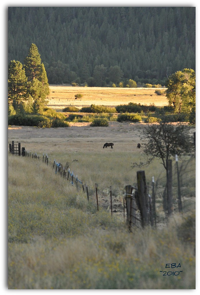
Summer evening on the Walking G
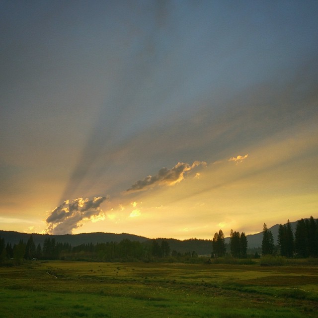
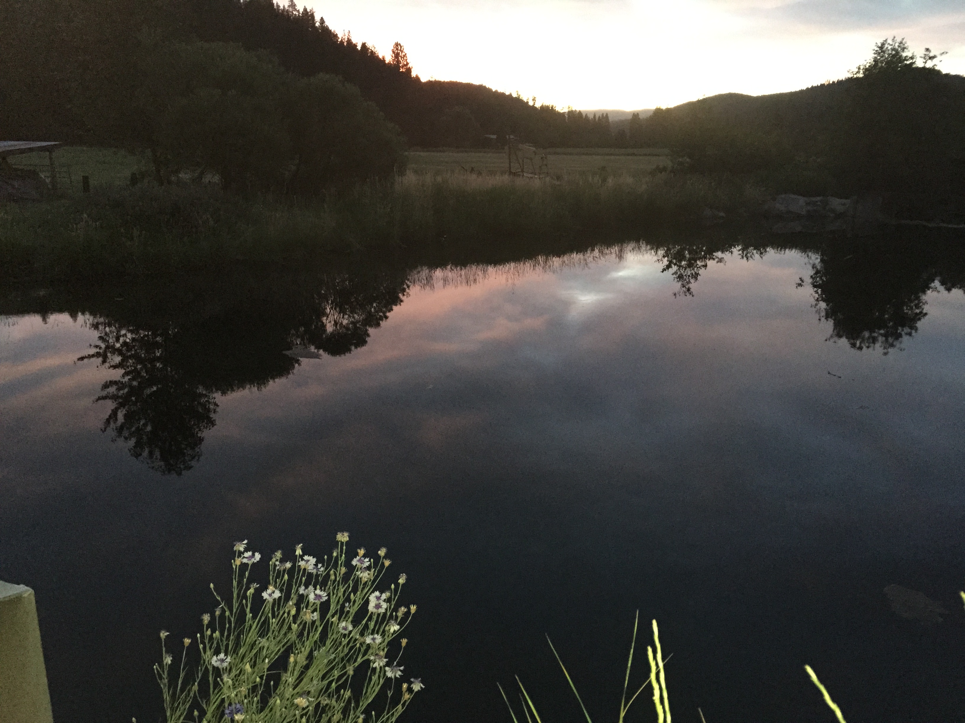
Smoky Sierra Sunset
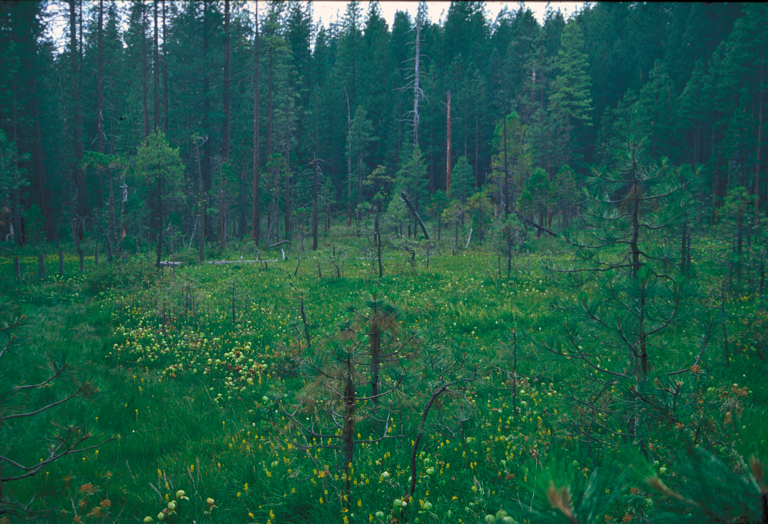
Pitcher_plant_bog_butterfly_valley_2000.jpg

Genesee Panorama
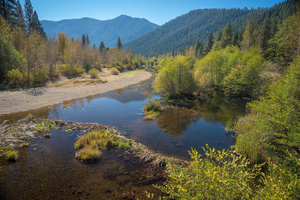
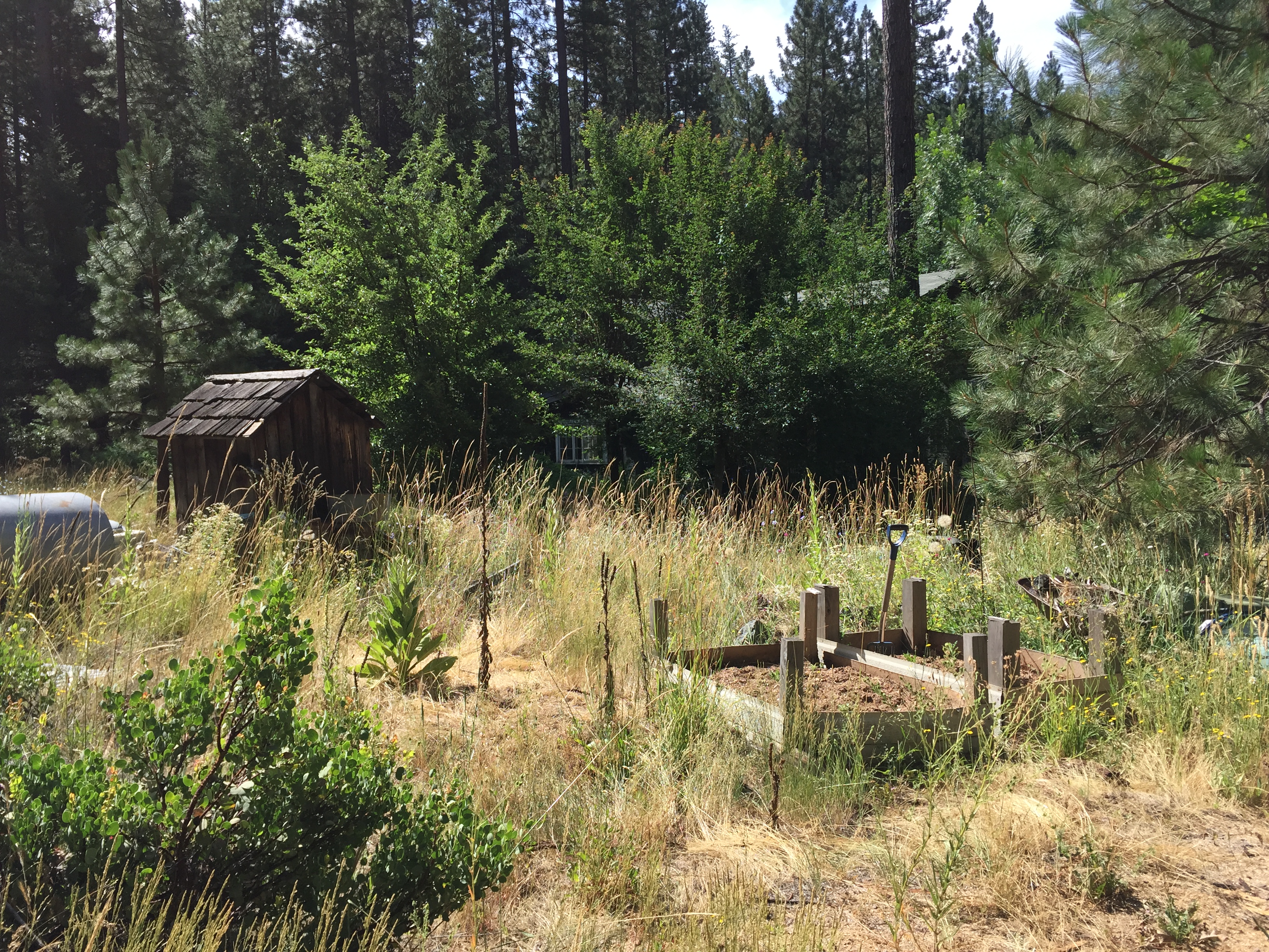
Camping in Taylorsville
31•52 • 2015 • See You Next Summer!
Welcome to Greenville. #vividHDR #Mextures
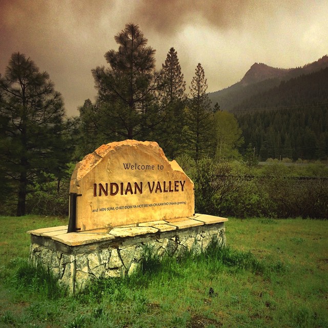
Welcome to Indian Valley. #vividHDR #Enlight
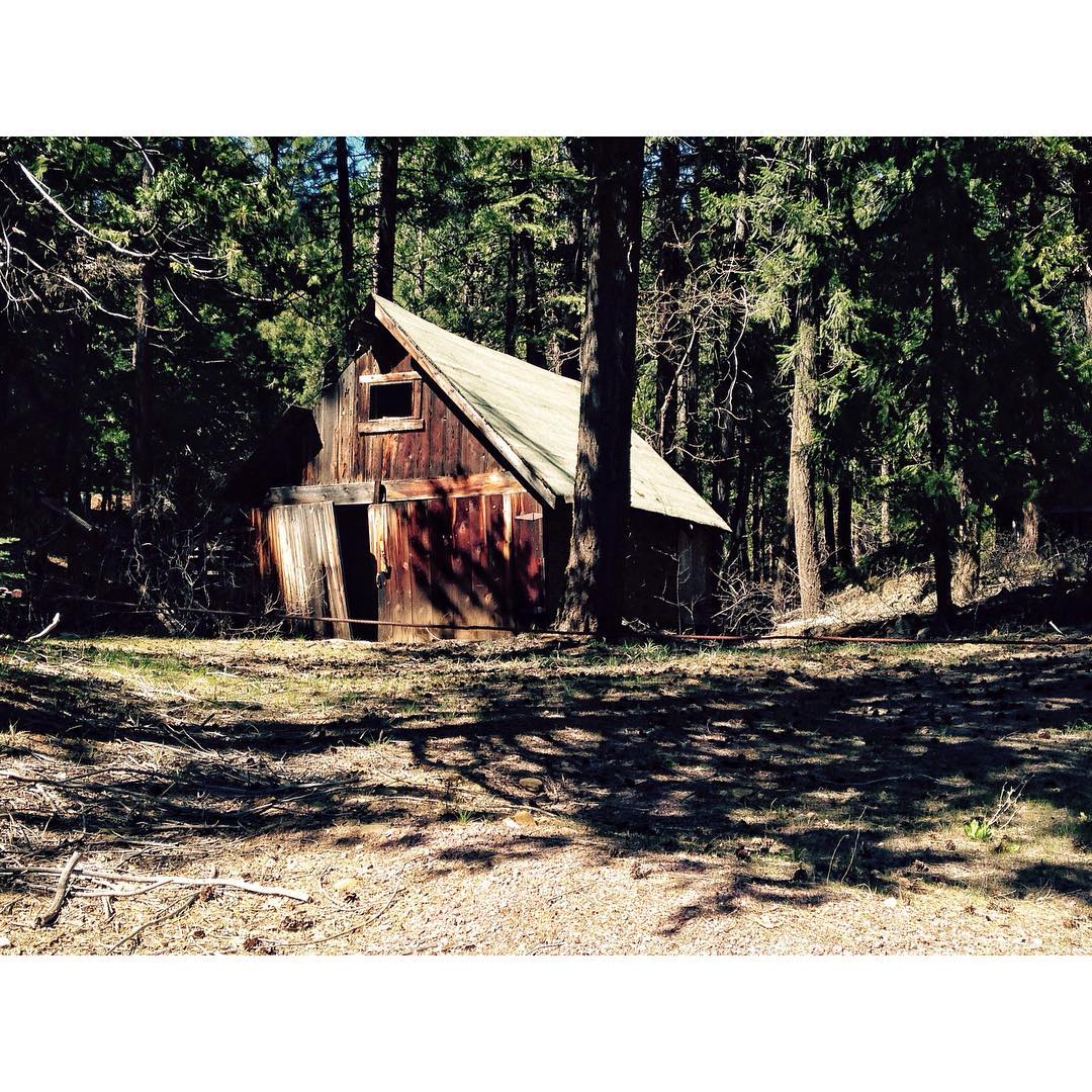
We made a u-turn so fast I thought @lumber_jak was going to flip us. Oh, what we do for pictures. #barn
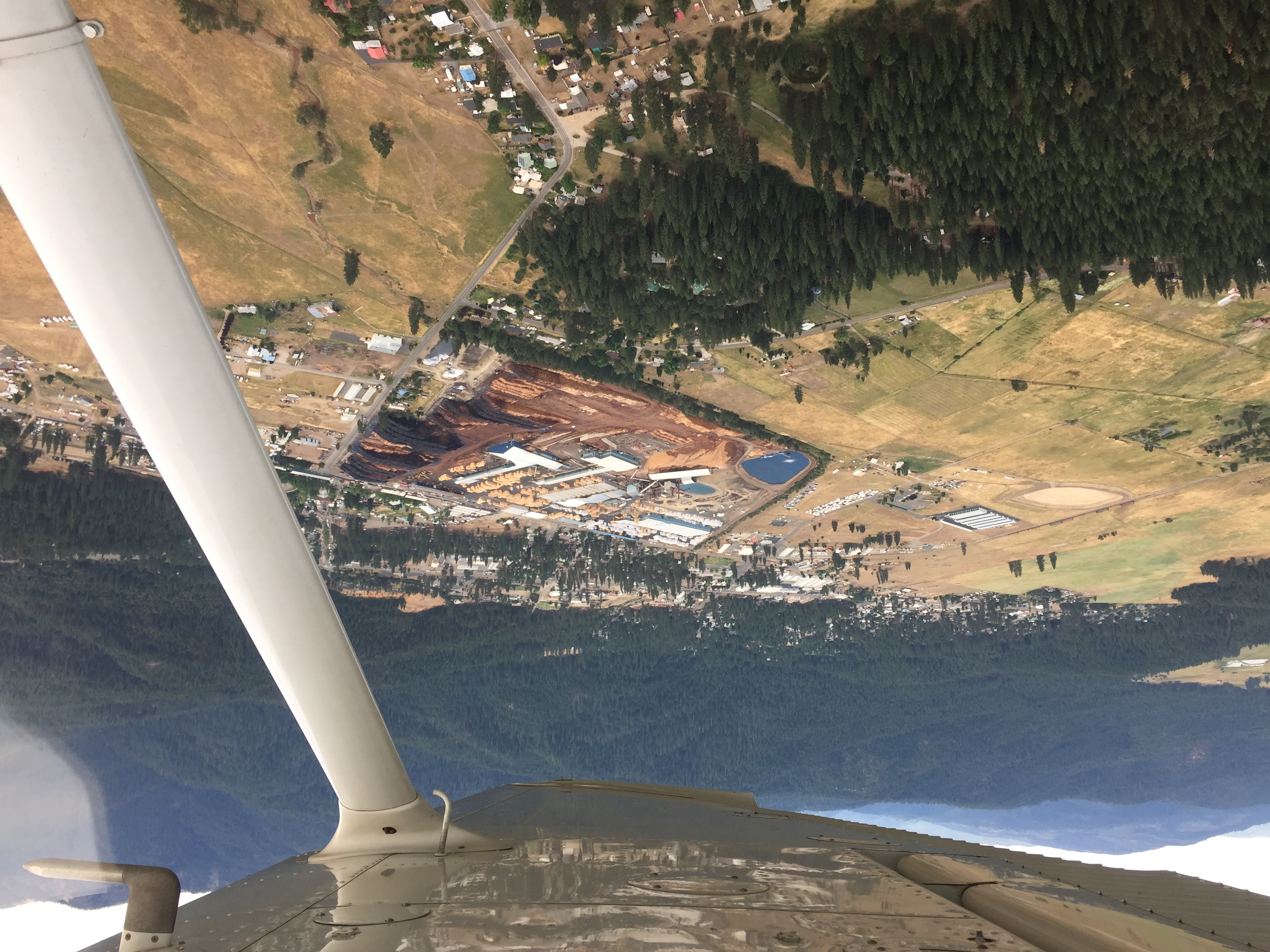
Flying a Cessna 172 from Torrance, CA to Quincy, CA - 7/1/15
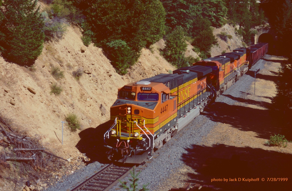
.(SEE & HEAR), BNSF 4447-4328-4862, Keddie, CA. 8/03/1999

DSC_0008.jpg
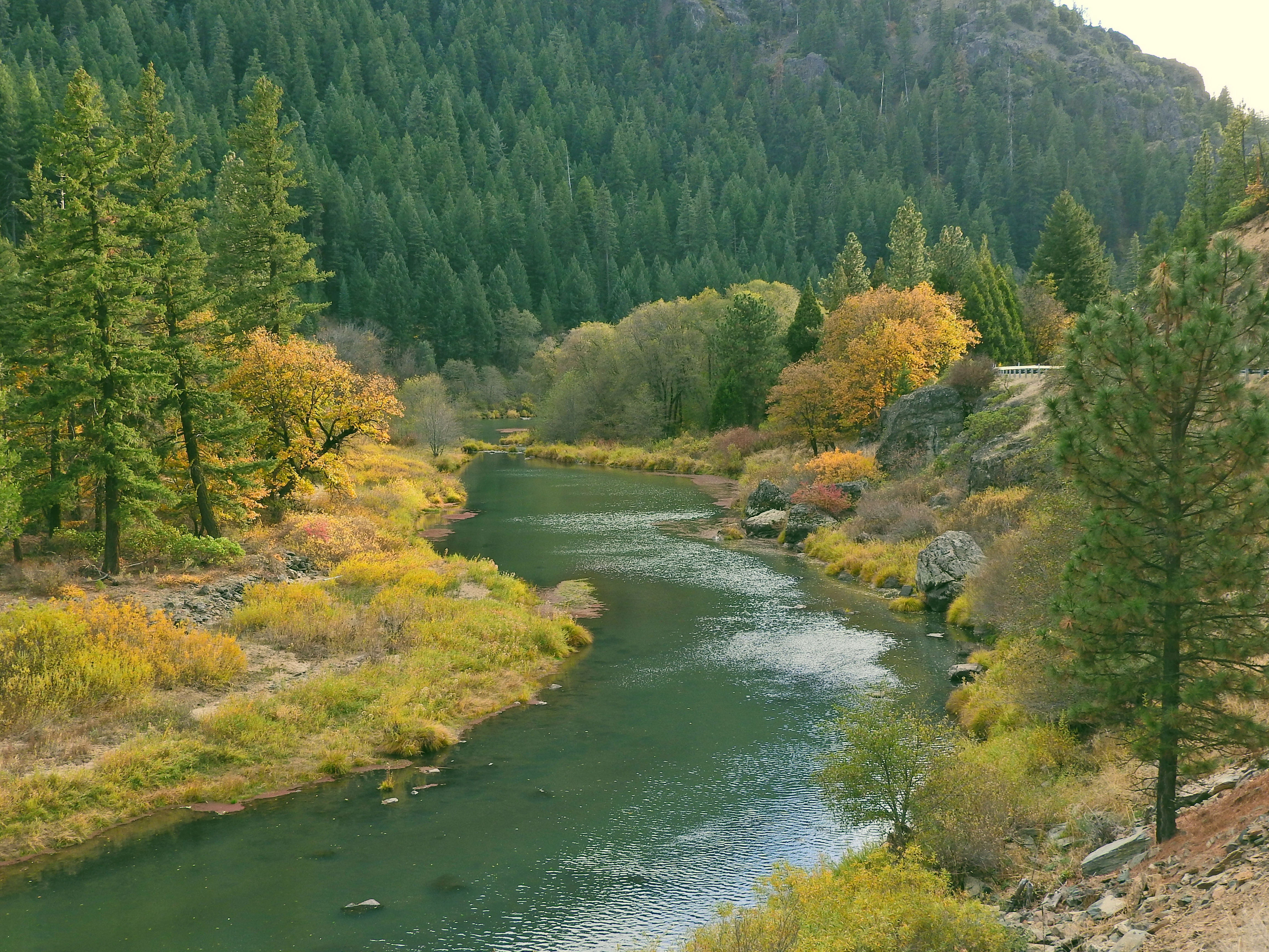
Rt 89 Fall Colors
BNSF Manifest at the Keddie Wye
Lookout tower panoramic
DSC_8524.jpg
DSC_8517.jpg

The String Cheese Incident at High Sierra Music Festival 2015

The String Cheese Incident at High Sierra Music Festival 2015
Yes, it's the homestead
Quincy swimming hole
Quincy swimming hole
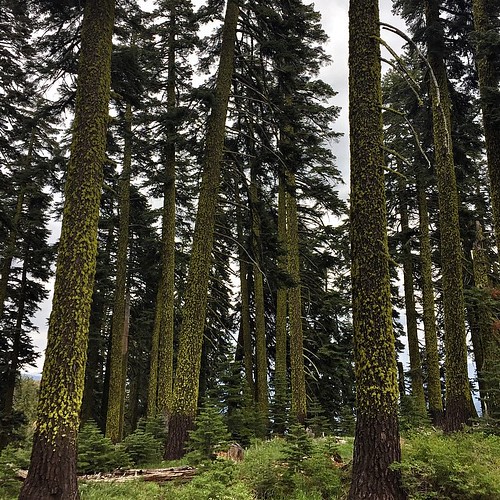
Day #2. Lush and green. Near Crystal Lake ,CA
Old Barn. #history
Taylorsville, CA, USA Map
Search another place
Near Places
Genesee Rd, Taylorsville, CA, USA
Mount Hough, Mt Hough, California, USA
Crescent Mills, CA, USA
Plumas County, CA, USA
Grizzly Mountain, California, USA
American Way, Quincy, CA, USA
Plumas National Forest, Lawrence St, Quincy, CA, USA
CA-70, Quincy, CA, USA
E Main St, Quincy, CA, USA
East Quincy, CA, USA
Sugar Pine Dr, Quincy, CA, USA
27N09B, Taylorsville, CA, USA
CA-70, Quincy, CA, USA
Spring Garden, CA, USA
Forest Knoll Ln, Quincy, CA, USA
Greenhorn, CA, USA
Coyote Peak, California, USA
Babcock Peak, California, USA
Boulder Creek Campground, California, United States
Cromberg, CA, USA
Recent Searches
- Sunrise Sunset Times of San Telmo, Buenos Aires, Argentina
- Sunrise Sunset Times of Congressional Dr, Stevensville, MD, USA
- Sunrise Sunset Times of Papingo 04, Greece
- Sunrise Sunset Times of Pagonija rock, Kranto 7-oji g. 8"N, Kaunas, Lithuania
- Sunrise Sunset Times of Co Rd 87, Jamestown, CO, USA
- Sunrise Sunset Times of Tenjo, Cundinamarca, Colombia
- Sunrise Sunset Times of -1 Gosho, Ichihara, Chiba -, Japan
- Sunrise Sunset Times of -, Japan
- Sunrise Sunset Times of Spaceport America, Co Rd A, Truth or Consequences, NM, USA
- Sunrise Sunset Times of Warwick, RI, USA