Sunrise Sunset Times of Sunrise Highway, Sunrise Hwy, California, USA
Location: United States > California > San Diego County > Julian >
Timezone:
America/Los_Angeles
Current Time:
2024-04-26 19:59:38
Longitude:
-116.4824434
Latitude:
32.9241225
Sunrise Today:
06:01:22 AM
Sunset Today:
07:25:29 PM
Daylength Today:
13h 24m 7s
Sunrise Tomorrow:
06:00:20 AM
Sunset Tomorrow:
07:26:14 PM
Daylength Tomorrow:
13h 25m 54s
Year Show All Dates
| Date | Sunrise | Sunset | Daylength |
|---|---|---|---|
| 01/01/2024 | 06:48:46 AM | 04:50:50 PM | 10h 2m 4s |
| 01/02/2024 | 06:48:56 AM | 04:51:35 PM | 10h 2m 39s |
| 01/03/2024 | 06:49:05 AM | 04:52:21 PM | 10h 3m 16s |
| 01/04/2024 | 06:49:12 AM | 04:53:09 PM | 10h 3m 57s |
| 01/05/2024 | 06:49:17 AM | 04:53:57 PM | 10h 4m 40s |
| 01/06/2024 | 06:49:20 AM | 04:54:46 PM | 10h 5m 26s |
| 01/07/2024 | 06:49:22 AM | 04:55:36 PM | 10h 6m 14s |
| 01/08/2024 | 06:49:21 AM | 04:56:26 PM | 10h 7m 5s |
| 01/09/2024 | 06:49:19 AM | 04:57:18 PM | 10h 7m 59s |
| 01/10/2024 | 06:49:15 AM | 04:58:10 PM | 10h 8m 55s |
| 01/11/2024 | 06:49:09 AM | 04:59:02 PM | 10h 9m 53s |
| 01/12/2024 | 06:49:02 AM | 04:59:56 PM | 10h 10m 54s |
| 01/13/2024 | 06:48:52 AM | 05:00:50 PM | 10h 11m 58s |
| 01/14/2024 | 06:48:41 AM | 05:01:44 PM | 10h 13m 3s |
| 01/15/2024 | 06:48:28 AM | 05:02:39 PM | 10h 14m 11s |
| 01/16/2024 | 06:48:13 AM | 05:03:34 PM | 10h 15m 21s |
| 01/17/2024 | 06:47:57 AM | 05:04:30 PM | 10h 16m 33s |
| 01/18/2024 | 06:47:38 AM | 05:05:25 PM | 10h 17m 47s |
| 01/19/2024 | 06:47:18 AM | 05:06:22 PM | 10h 19m 4s |
| 01/20/2024 | 06:46:56 AM | 05:07:18 PM | 10h 20m 22s |
| 01/21/2024 | 06:46:33 AM | 05:08:15 PM | 10h 21m 42s |
| 01/22/2024 | 06:46:08 AM | 05:09:12 PM | 10h 23m 4s |
| 01/23/2024 | 06:45:41 AM | 05:10:09 PM | 10h 24m 28s |
| 01/24/2024 | 06:45:12 AM | 05:11:06 PM | 10h 25m 54s |
| 01/25/2024 | 06:44:42 AM | 05:12:03 PM | 10h 27m 21s |
| 01/26/2024 | 06:44:10 AM | 05:13:00 PM | 10h 28m 50s |
| 01/27/2024 | 06:43:36 AM | 05:13:57 PM | 10h 30m 21s |
| 01/28/2024 | 06:43:01 AM | 05:14:55 PM | 10h 31m 54s |
| 01/29/2024 | 06:42:24 AM | 05:15:52 PM | 10h 33m 28s |
| 01/30/2024 | 06:41:46 AM | 05:16:49 PM | 10h 35m 3s |
| 01/31/2024 | 06:41:06 AM | 05:17:46 PM | 10h 36m 40s |
| 02/01/2024 | 06:40:25 AM | 05:18:43 PM | 10h 38m 18s |
| 02/02/2024 | 06:39:42 AM | 05:19:39 PM | 10h 39m 57s |
| 02/03/2024 | 06:38:58 AM | 05:20:36 PM | 10h 41m 38s |
| 02/04/2024 | 06:38:12 AM | 05:21:32 PM | 10h 43m 20s |
| 02/05/2024 | 06:37:25 AM | 05:22:28 PM | 10h 45m 3s |
| 02/06/2024 | 06:36:36 AM | 05:23:24 PM | 10h 46m 48s |
| 02/07/2024 | 06:35:47 AM | 05:24:20 PM | 10h 48m 33s |
| 02/08/2024 | 06:34:55 AM | 05:25:15 PM | 10h 50m 20s |
| 02/09/2024 | 06:34:03 AM | 05:26:10 PM | 10h 52m 7s |
| 02/10/2024 | 06:33:09 AM | 05:27:05 PM | 10h 53m 56s |
| 02/11/2024 | 06:32:14 AM | 05:28:00 PM | 10h 55m 46s |
| 02/12/2024 | 06:31:18 AM | 05:28:54 PM | 10h 57m 36s |
| 02/13/2024 | 06:30:21 AM | 05:29:48 PM | 10h 59m 27s |
| 02/14/2024 | 06:29:23 AM | 05:30:41 PM | 11h 1m 18s |
| 02/15/2024 | 06:28:23 AM | 05:31:34 PM | 11h 3m 11s |
| 02/16/2024 | 06:27:23 AM | 05:32:27 PM | 11h 5m 4s |
| 02/17/2024 | 06:26:21 AM | 05:33:20 PM | 11h 6m 59s |
| 02/18/2024 | 06:25:18 AM | 05:34:12 PM | 11h 8m 54s |
| 02/19/2024 | 06:24:15 AM | 05:35:04 PM | 11h 10m 49s |
| 02/20/2024 | 06:23:10 AM | 05:35:55 PM | 11h 12m 45s |
| 02/21/2024 | 06:22:04 AM | 05:36:46 PM | 11h 14m 42s |
| 02/22/2024 | 06:20:58 AM | 05:37:37 PM | 11h 16m 39s |
| 02/23/2024 | 06:19:51 AM | 05:38:27 PM | 11h 18m 36s |
| 02/24/2024 | 06:18:43 AM | 05:39:17 PM | 11h 20m 34s |
| 02/25/2024 | 06:17:34 AM | 05:40:07 PM | 11h 22m 33s |
| 02/26/2024 | 06:16:24 AM | 05:40:56 PM | 11h 24m 32s |
| 02/27/2024 | 06:15:13 AM | 05:41:45 PM | 11h 26m 32s |
| 02/28/2024 | 06:14:02 AM | 05:42:34 PM | 11h 28m 32s |
| 02/29/2024 | 06:12:50 AM | 05:43:22 PM | 11h 30m 32s |
| 03/01/2024 | 06:11:38 AM | 05:44:10 PM | 11h 32m 32s |
| 03/02/2024 | 06:10:25 AM | 05:44:58 PM | 11h 34m 33s |
| 03/03/2024 | 06:09:11 AM | 05:45:45 PM | 11h 36m 34s |
| 03/04/2024 | 06:07:57 AM | 05:46:32 PM | 11h 38m 35s |
| 03/05/2024 | 06:06:42 AM | 05:47:19 PM | 11h 40m 37s |
| 03/06/2024 | 06:05:27 AM | 05:48:05 PM | 11h 42m 38s |
| 03/07/2024 | 06:04:11 AM | 05:48:51 PM | 11h 44m 40s |
| 03/08/2024 | 06:02:54 AM | 05:49:37 PM | 11h 46m 43s |
| 03/09/2024 | 06:01:38 AM | 05:50:23 PM | 11h 48m 45s |
| 03/10/2024 | 07:00:24 AM | 06:51:06 PM | 11h 50m 42s |
| 03/11/2024 | 06:59:07 AM | 06:51:52 PM | 11h 52m 45s |
| 03/12/2024 | 06:57:49 AM | 06:52:37 PM | 11h 54m 48s |
| 03/13/2024 | 06:56:31 AM | 06:53:21 PM | 11h 56m 50s |
| 03/14/2024 | 06:55:13 AM | 06:54:06 PM | 11h 58m 53s |
| 03/15/2024 | 06:53:54 AM | 06:54:50 PM | 12h 0m 56s |
| 03/16/2024 | 06:52:35 AM | 06:55:34 PM | 12h 2m 59s |
| 03/17/2024 | 06:51:17 AM | 06:56:18 PM | 12h 5m 1s |
| 03/18/2024 | 06:49:58 AM | 06:57:02 PM | 12h 7m 4s |
| 03/19/2024 | 06:48:38 AM | 06:57:46 PM | 12h 9m 8s |
| 03/20/2024 | 06:47:19 AM | 06:58:29 PM | 12h 11m 10s |
| 03/21/2024 | 06:46:00 AM | 06:59:13 PM | 12h 13m 13s |
| 03/22/2024 | 06:44:41 AM | 06:59:56 PM | 12h 15m 15s |
| 03/23/2024 | 06:43:21 AM | 07:00:39 PM | 12h 17m 18s |
| 03/24/2024 | 06:42:02 AM | 07:01:22 PM | 12h 19m 20s |
| 03/25/2024 | 06:40:43 AM | 07:02:05 PM | 12h 21m 22s |
| 03/26/2024 | 06:39:23 AM | 07:02:48 PM | 12h 23m 25s |
| 03/27/2024 | 06:38:04 AM | 07:03:31 PM | 12h 25m 27s |
| 03/28/2024 | 06:36:45 AM | 07:04:14 PM | 12h 27m 29s |
| 03/29/2024 | 06:35:27 AM | 07:04:57 PM | 12h 29m 30s |
| 03/30/2024 | 06:34:08 AM | 07:05:40 PM | 12h 31m 32s |
| 03/31/2024 | 06:32:50 AM | 07:06:22 PM | 12h 33m 32s |
| 04/01/2024 | 06:31:32 AM | 07:07:05 PM | 12h 35m 33s |
| 04/02/2024 | 06:30:14 AM | 07:07:48 PM | 12h 37m 34s |
| 04/03/2024 | 06:28:56 AM | 07:08:31 PM | 12h 39m 35s |
| 04/04/2024 | 06:27:39 AM | 07:09:14 PM | 12h 41m 35s |
| 04/05/2024 | 06:26:23 AM | 07:09:57 PM | 12h 43m 34s |
| 04/06/2024 | 06:25:06 AM | 07:10:39 PM | 12h 45m 33s |
| 04/07/2024 | 06:23:50 AM | 07:11:22 PM | 12h 47m 32s |
| 04/08/2024 | 06:22:35 AM | 07:12:05 PM | 12h 49m 30s |
| 04/09/2024 | 06:21:20 AM | 07:12:48 PM | 12h 51m 28s |
| 04/10/2024 | 06:20:05 AM | 07:13:32 PM | 12h 53m 27s |
| 04/11/2024 | 06:18:51 AM | 07:14:15 PM | 12h 55m 24s |
| 04/12/2024 | 06:17:38 AM | 07:14:58 PM | 12h 57m 20s |
| 04/13/2024 | 06:16:25 AM | 07:15:41 PM | 12h 59m 16s |
| 04/14/2024 | 06:15:13 AM | 07:16:25 PM | 13h 1m 12s |
| 04/15/2024 | 06:14:01 AM | 07:17:08 PM | 13h 3m 7s |
| 04/16/2024 | 06:12:50 AM | 07:17:52 PM | 13h 5m 2s |
| 04/17/2024 | 06:11:40 AM | 07:18:36 PM | 13h 6m 56s |
| 04/18/2024 | 06:10:31 AM | 07:19:19 PM | 13h 8m 48s |
| 04/19/2024 | 06:09:22 AM | 07:20:03 PM | 13h 10m 41s |
| 04/20/2024 | 06:08:14 AM | 07:20:47 PM | 13h 12m 33s |
| 04/21/2024 | 06:07:07 AM | 07:21:31 PM | 13h 14m 24s |
| 04/22/2024 | 06:06:01 AM | 07:22:15 PM | 13h 16m 14s |
| 04/23/2024 | 06:04:55 AM | 07:23:00 PM | 13h 18m 5s |
| 04/24/2024 | 06:03:51 AM | 07:23:44 PM | 13h 19m 53s |
| 04/25/2024 | 06:02:47 AM | 07:24:28 PM | 13h 21m 41s |
| 04/26/2024 | 06:01:45 AM | 07:25:12 PM | 13h 23m 27s |
| 04/27/2024 | 06:00:43 AM | 07:25:57 PM | 13h 25m 14s |
| 04/28/2024 | 05:59:43 AM | 07:26:41 PM | 13h 26m 58s |
| 04/29/2024 | 05:58:43 AM | 07:27:26 PM | 13h 28m 43s |
| 04/30/2024 | 05:57:44 AM | 07:28:10 PM | 13h 30m 26s |
| 05/01/2024 | 05:56:47 AM | 07:28:55 PM | 13h 32m 8s |
| 05/02/2024 | 05:55:51 AM | 07:29:39 PM | 13h 33m 48s |
| 05/03/2024 | 05:54:55 AM | 07:30:24 PM | 13h 35m 29s |
| 05/04/2024 | 05:54:01 AM | 07:31:08 PM | 13h 37m 7s |
| 05/05/2024 | 05:53:08 AM | 07:31:53 PM | 13h 38m 45s |
| 05/06/2024 | 05:52:17 AM | 07:32:37 PM | 13h 40m 20s |
| 05/07/2024 | 05:51:26 AM | 07:33:21 PM | 13h 41m 55s |
| 05/08/2024 | 05:50:37 AM | 07:34:05 PM | 13h 43m 28s |
| 05/09/2024 | 05:49:49 AM | 07:34:49 PM | 13h 45m 0s |
| 05/10/2024 | 05:49:02 AM | 07:35:33 PM | 13h 46m 31s |
| 05/11/2024 | 05:48:17 AM | 07:36:17 PM | 13h 48m 0s |
| 05/12/2024 | 05:47:33 AM | 07:37:01 PM | 13h 49m 28s |
| 05/13/2024 | 05:46:50 AM | 07:37:44 PM | 13h 50m 54s |
| 05/14/2024 | 05:46:09 AM | 07:38:27 PM | 13h 52m 18s |
| 05/15/2024 | 05:45:29 AM | 07:39:10 PM | 13h 53m 41s |
| 05/16/2024 | 05:44:50 AM | 07:39:52 PM | 13h 55m 2s |
| 05/17/2024 | 05:44:13 AM | 07:40:35 PM | 13h 56m 22s |
| 05/18/2024 | 05:43:37 AM | 07:41:16 PM | 13h 57m 39s |
| 05/19/2024 | 05:43:03 AM | 07:41:58 PM | 13h 58m 55s |
| 05/20/2024 | 05:42:30 AM | 07:42:39 PM | 14h 0m 9s |
| 05/21/2024 | 05:41:59 AM | 07:43:20 PM | 14h 1m 21s |
| 05/22/2024 | 05:41:29 AM | 07:44:00 PM | 14h 2m 31s |
| 05/23/2024 | 05:41:01 AM | 07:44:40 PM | 14h 3m 39s |
| 05/24/2024 | 05:40:34 AM | 07:45:19 PM | 14h 4m 45s |
| 05/25/2024 | 05:40:08 AM | 07:45:58 PM | 14h 5m 50s |
| 05/26/2024 | 05:39:45 AM | 07:46:36 PM | 14h 6m 51s |
| 05/27/2024 | 05:39:22 AM | 07:47:13 PM | 14h 7m 51s |
| 05/28/2024 | 05:39:02 AM | 07:47:50 PM | 14h 8m 48s |
| 05/29/2024 | 05:38:43 AM | 07:48:26 PM | 14h 9m 43s |
| 05/30/2024 | 05:38:25 AM | 07:49:02 PM | 14h 10m 37s |
| 05/31/2024 | 05:38:09 AM | 07:49:36 PM | 14h 11m 27s |
| 06/01/2024 | 05:37:54 AM | 07:50:10 PM | 14h 12m 16s |
| 06/02/2024 | 05:37:41 AM | 07:50:43 PM | 14h 13m 2s |
| 06/03/2024 | 05:37:30 AM | 07:51:16 PM | 14h 13m 46s |
| 06/04/2024 | 05:37:20 AM | 07:51:47 PM | 14h 14m 27s |
| 06/05/2024 | 05:37:12 AM | 07:52:17 PM | 14h 15m 5s |
| 06/06/2024 | 05:37:05 AM | 07:52:47 PM | 14h 15m 42s |
| 06/07/2024 | 05:37:00 AM | 07:53:15 PM | 14h 16m 15s |
| 06/08/2024 | 05:36:56 AM | 07:53:43 PM | 14h 16m 47s |
| 06/09/2024 | 05:36:54 AM | 07:54:09 PM | 14h 17m 15s |
| 06/10/2024 | 05:36:53 AM | 07:54:34 PM | 14h 17m 41s |
| 06/11/2024 | 05:36:54 AM | 07:54:58 PM | 14h 18m 4s |
| 06/12/2024 | 05:36:56 AM | 07:55:21 PM | 14h 18m 25s |
| 06/13/2024 | 05:37:00 AM | 07:55:43 PM | 14h 18m 43s |
| 06/14/2024 | 05:37:05 AM | 07:56:04 PM | 14h 18m 59s |
| 06/15/2024 | 05:37:12 AM | 07:56:23 PM | 14h 19m 11s |
| 06/16/2024 | 05:37:20 AM | 07:56:41 PM | 14h 19m 21s |
| 06/17/2024 | 05:37:29 AM | 07:56:58 PM | 14h 19m 29s |
| 06/18/2024 | 05:37:40 AM | 07:57:13 PM | 14h 19m 33s |
| 06/19/2024 | 05:37:52 AM | 07:57:27 PM | 14h 19m 35s |
| 06/20/2024 | 05:38:05 AM | 07:57:40 PM | 14h 19m 35s |
| 06/21/2024 | 05:38:20 AM | 07:57:51 PM | 14h 19m 31s |
| 06/22/2024 | 05:38:36 AM | 07:58:01 PM | 14h 19m 25s |
| 06/23/2024 | 05:38:53 AM | 07:58:10 PM | 14h 19m 17s |
| 06/24/2024 | 05:39:11 AM | 07:58:17 PM | 14h 19m 6s |
| 06/25/2024 | 05:39:31 AM | 07:58:22 PM | 14h 18m 51s |
| 06/26/2024 | 05:39:52 AM | 07:58:26 PM | 14h 18m 34s |
| 06/27/2024 | 05:40:14 AM | 07:58:29 PM | 14h 18m 15s |
| 06/28/2024 | 05:40:37 AM | 07:58:30 PM | 14h 17m 53s |
| 06/29/2024 | 05:41:01 AM | 07:58:29 PM | 14h 17m 28s |
| 06/30/2024 | 05:41:26 AM | 07:58:27 PM | 14h 17m 1s |
| 07/01/2024 | 05:41:52 AM | 07:58:23 PM | 14h 16m 31s |
| 07/02/2024 | 05:42:19 AM | 07:58:18 PM | 14h 15m 59s |
| 07/03/2024 | 05:42:47 AM | 07:58:11 PM | 14h 15m 24s |
| 07/04/2024 | 05:43:16 AM | 07:58:03 PM | 14h 14m 47s |
| 07/05/2024 | 05:43:46 AM | 07:57:53 PM | 14h 14m 7s |
| 07/06/2024 | 05:44:16 AM | 07:57:41 PM | 14h 13m 25s |
| 07/07/2024 | 05:44:48 AM | 07:57:28 PM | 14h 12m 40s |
| 07/08/2024 | 05:45:20 AM | 07:57:14 PM | 14h 11m 54s |
| 07/09/2024 | 05:45:53 AM | 07:56:57 PM | 14h 11m 4s |
| 07/10/2024 | 05:46:27 AM | 07:56:39 PM | 14h 10m 12s |
| 07/11/2024 | 05:47:01 AM | 07:56:20 PM | 14h 9m 19s |
| 07/12/2024 | 05:47:36 AM | 07:55:59 PM | 14h 8m 23s |
| 07/13/2024 | 05:48:11 AM | 07:55:36 PM | 14h 7m 25s |
| 07/14/2024 | 05:48:47 AM | 07:55:12 PM | 14h 6m 25s |
| 07/15/2024 | 05:49:24 AM | 07:54:46 PM | 14h 5m 22s |
| 07/16/2024 | 05:50:01 AM | 07:54:19 PM | 14h 4m 18s |
| 07/17/2024 | 05:50:39 AM | 07:53:50 PM | 14h 3m 11s |
| 07/18/2024 | 05:51:17 AM | 07:53:19 PM | 14h 2m 2s |
| 07/19/2024 | 05:51:55 AM | 07:52:48 PM | 14h 0m 53s |
| 07/20/2024 | 05:52:34 AM | 07:52:14 PM | 13h 59m 40s |
| 07/21/2024 | 05:53:13 AM | 07:51:39 PM | 13h 58m 26s |
| 07/22/2024 | 05:53:53 AM | 07:51:03 PM | 13h 57m 10s |
| 07/23/2024 | 05:54:32 AM | 07:50:25 PM | 13h 55m 53s |
| 07/24/2024 | 05:55:12 AM | 07:49:45 PM | 13h 54m 33s |
| 07/25/2024 | 05:55:53 AM | 07:49:05 PM | 13h 53m 12s |
| 07/26/2024 | 05:56:33 AM | 07:48:22 PM | 13h 51m 49s |
| 07/27/2024 | 05:57:14 AM | 07:47:39 PM | 13h 50m 25s |
| 07/28/2024 | 05:57:55 AM | 07:46:54 PM | 13h 48m 59s |
| 07/29/2024 | 05:58:36 AM | 07:46:08 PM | 13h 47m 32s |
| 07/30/2024 | 05:59:17 AM | 07:45:20 PM | 13h 46m 3s |
| 07/31/2024 | 05:59:58 AM | 07:44:31 PM | 13h 44m 33s |
| 08/01/2024 | 06:00:39 AM | 07:43:41 PM | 13h 43m 2s |
| 08/02/2024 | 06:01:20 AM | 07:42:49 PM | 13h 41m 29s |
| 08/03/2024 | 06:02:02 AM | 07:41:56 PM | 13h 39m 54s |
| 08/04/2024 | 06:02:43 AM | 07:41:02 PM | 13h 38m 19s |
| 08/05/2024 | 06:03:24 AM | 07:40:07 PM | 13h 36m 43s |
| 08/06/2024 | 06:04:06 AM | 07:39:11 PM | 13h 35m 5s |
| 08/07/2024 | 06:04:47 AM | 07:38:13 PM | 13h 33m 26s |
| 08/08/2024 | 06:05:29 AM | 07:37:15 PM | 13h 31m 46s |
| 08/09/2024 | 06:06:10 AM | 07:36:15 PM | 13h 30m 5s |
| 08/10/2024 | 06:06:51 AM | 07:35:14 PM | 13h 28m 23s |
| 08/11/2024 | 06:07:32 AM | 07:34:12 PM | 13h 26m 40s |
| 08/12/2024 | 06:08:13 AM | 07:33:09 PM | 13h 24m 56s |
| 08/13/2024 | 06:08:54 AM | 07:32:05 PM | 13h 23m 11s |
| 08/14/2024 | 06:09:35 AM | 07:31:01 PM | 13h 21m 26s |
| 08/15/2024 | 06:10:16 AM | 07:29:55 PM | 13h 19m 39s |
| 08/16/2024 | 06:10:57 AM | 07:28:48 PM | 13h 17m 51s |
| 08/17/2024 | 06:11:37 AM | 07:27:40 PM | 13h 16m 3s |
| 08/18/2024 | 06:12:18 AM | 07:26:32 PM | 13h 14m 14s |
| 08/19/2024 | 06:12:58 AM | 07:25:22 PM | 13h 12m 24s |
| 08/20/2024 | 06:13:38 AM | 07:24:12 PM | 13h 10m 34s |
| 08/21/2024 | 06:14:18 AM | 07:23:01 PM | 13h 8m 43s |
| 08/22/2024 | 06:14:58 AM | 07:21:50 PM | 13h 6m 52s |
| 08/23/2024 | 06:15:38 AM | 07:20:37 PM | 13h 4m 59s |
| 08/24/2024 | 06:16:18 AM | 07:19:24 PM | 13h 3m 6s |
| 08/25/2024 | 06:16:58 AM | 07:18:10 PM | 13h 1m 12s |
| 08/26/2024 | 06:17:37 AM | 07:16:56 PM | 12h 59m 19s |
| 08/27/2024 | 06:18:17 AM | 07:15:41 PM | 12h 57m 24s |
| 08/28/2024 | 06:18:56 AM | 07:14:25 PM | 12h 55m 29s |
| 08/29/2024 | 06:19:35 AM | 07:13:09 PM | 12h 53m 34s |
| 08/30/2024 | 06:20:14 AM | 07:11:52 PM | 12h 51m 38s |
| 08/31/2024 | 06:20:53 AM | 07:10:34 PM | 12h 49m 41s |
| 09/01/2024 | 06:21:32 AM | 07:09:17 PM | 12h 47m 45s |
| 09/02/2024 | 06:22:11 AM | 07:07:58 PM | 12h 45m 47s |
| 09/03/2024 | 06:22:50 AM | 07:06:40 PM | 12h 43m 50s |
| 09/04/2024 | 06:23:29 AM | 07:05:21 PM | 12h 41m 52s |
| 09/05/2024 | 06:24:08 AM | 07:04:01 PM | 12h 39m 53s |
| 09/06/2024 | 06:24:46 AM | 07:02:41 PM | 12h 37m 55s |
| 09/07/2024 | 06:25:25 AM | 07:01:21 PM | 12h 35m 56s |
| 09/08/2024 | 06:26:03 AM | 07:00:01 PM | 12h 33m 58s |
| 09/09/2024 | 06:26:42 AM | 06:58:40 PM | 12h 31m 58s |
| 09/10/2024 | 06:27:21 AM | 06:57:19 PM | 12h 29m 58s |
| 09/11/2024 | 06:27:59 AM | 06:55:58 PM | 12h 27m 59s |
| 09/12/2024 | 06:28:38 AM | 06:54:37 PM | 12h 25m 59s |
| 09/13/2024 | 06:29:17 AM | 06:53:16 PM | 12h 23m 59s |
| 09/14/2024 | 06:29:55 AM | 06:51:54 PM | 12h 21m 59s |
| 09/15/2024 | 06:30:34 AM | 06:50:32 PM | 12h 19m 58s |
| 09/16/2024 | 06:31:13 AM | 06:49:11 PM | 12h 17m 58s |
| 09/17/2024 | 06:31:52 AM | 06:47:49 PM | 12h 15m 57s |
| 09/18/2024 | 06:32:31 AM | 06:46:27 PM | 12h 13m 56s |
| 09/19/2024 | 06:33:10 AM | 06:45:05 PM | 12h 11m 55s |
| 09/20/2024 | 06:33:49 AM | 06:43:44 PM | 12h 9m 55s |
| 09/21/2024 | 06:34:28 AM | 06:42:22 PM | 12h 7m 54s |
| 09/22/2024 | 06:35:08 AM | 06:41:01 PM | 12h 5m 53s |
| 09/23/2024 | 06:35:47 AM | 06:39:39 PM | 12h 3m 52s |
| 09/24/2024 | 06:36:27 AM | 06:38:18 PM | 12h 1m 51s |
| 09/25/2024 | 06:37:07 AM | 06:36:57 PM | 11h 59m 50s |
| 09/26/2024 | 06:37:47 AM | 06:35:36 PM | 11h 57m 49s |
| 09/27/2024 | 06:38:27 AM | 06:34:16 PM | 11h 55m 49s |
| 09/28/2024 | 06:39:08 AM | 06:32:56 PM | 11h 53m 48s |
| 09/29/2024 | 06:39:49 AM | 06:31:36 PM | 11h 51m 47s |
| 09/30/2024 | 06:40:30 AM | 06:30:16 PM | 11h 49m 46s |
| 10/01/2024 | 06:41:11 AM | 06:28:57 PM | 11h 47m 46s |
| 10/02/2024 | 06:41:53 AM | 06:27:38 PM | 11h 45m 45s |
| 10/03/2024 | 06:42:34 AM | 06:26:19 PM | 11h 43m 45s |
| 10/04/2024 | 06:43:16 AM | 06:25:01 PM | 11h 41m 45s |
| 10/05/2024 | 06:43:59 AM | 06:23:44 PM | 11h 39m 45s |
| 10/06/2024 | 06:44:41 AM | 06:22:27 PM | 11h 37m 46s |
| 10/07/2024 | 06:45:24 AM | 06:21:10 PM | 11h 35m 46s |
| 10/08/2024 | 06:46:08 AM | 06:19:54 PM | 11h 33m 46s |
| 10/09/2024 | 06:46:51 AM | 06:18:39 PM | 11h 31m 48s |
| 10/10/2024 | 06:47:35 AM | 06:17:25 PM | 11h 29m 50s |
| 10/11/2024 | 06:48:20 AM | 06:16:11 PM | 11h 27m 51s |
| 10/12/2024 | 06:49:04 AM | 06:14:57 PM | 11h 25m 53s |
| 10/13/2024 | 06:49:49 AM | 06:13:45 PM | 11h 23m 56s |
| 10/14/2024 | 06:50:35 AM | 06:12:33 PM | 11h 21m 58s |
| 10/15/2024 | 06:51:20 AM | 06:11:22 PM | 11h 20m 2s |
| 10/16/2024 | 06:52:06 AM | 06:10:11 PM | 11h 18m 5s |
| 10/17/2024 | 06:52:53 AM | 06:09:02 PM | 11h 16m 9s |
| 10/18/2024 | 06:53:40 AM | 06:07:53 PM | 11h 14m 13s |
| 10/19/2024 | 06:54:27 AM | 06:06:46 PM | 11h 12m 19s |
| 10/20/2024 | 06:55:15 AM | 06:05:39 PM | 11h 10m 24s |
| 10/21/2024 | 06:56:03 AM | 06:04:33 PM | 11h 8m 30s |
| 10/22/2024 | 06:56:51 AM | 06:03:29 PM | 11h 6m 38s |
| 10/23/2024 | 06:57:40 AM | 06:02:25 PM | 11h 4m 45s |
| 10/24/2024 | 06:58:29 AM | 06:01:22 PM | 11h 2m 53s |
| 10/25/2024 | 06:59:19 AM | 06:00:21 PM | 11h 1m 2s |
| 10/26/2024 | 07:00:09 AM | 05:59:20 PM | 10h 59m 11s |
| 10/27/2024 | 07:00:59 AM | 05:58:21 PM | 10h 57m 22s |
| 10/28/2024 | 07:01:50 AM | 05:57:22 PM | 10h 55m 32s |
| 10/29/2024 | 07:02:40 AM | 05:56:26 PM | 10h 53m 46s |
| 10/30/2024 | 07:03:32 AM | 05:55:30 PM | 10h 51m 58s |
| 10/31/2024 | 07:04:23 AM | 05:54:35 PM | 10h 50m 12s |
| 11/01/2024 | 07:05:15 AM | 05:53:42 PM | 10h 48m 27s |
| 11/02/2024 | 07:06:08 AM | 05:52:50 PM | 10h 46m 42s |
| 11/03/2024 | 06:07:03 AM | 04:51:58 PM | 10h 44m 55s |
| 11/04/2024 | 06:07:55 AM | 04:51:09 PM | 10h 43m 14s |
| 11/05/2024 | 06:08:49 AM | 04:50:21 PM | 10h 41m 32s |
| 11/06/2024 | 06:09:42 AM | 04:49:35 PM | 10h 39m 53s |
| 11/07/2024 | 06:10:36 AM | 04:48:50 PM | 10h 38m 14s |
| 11/08/2024 | 06:11:29 AM | 04:48:07 PM | 10h 36m 38s |
| 11/09/2024 | 06:12:23 AM | 04:47:25 PM | 10h 35m 2s |
| 11/10/2024 | 06:13:18 AM | 04:46:44 PM | 10h 33m 26s |
| 11/11/2024 | 06:14:12 AM | 04:46:06 PM | 10h 31m 54s |
| 11/12/2024 | 06:15:06 AM | 04:45:29 PM | 10h 30m 23s |
| 11/13/2024 | 06:16:01 AM | 04:44:53 PM | 10h 28m 52s |
| 11/14/2024 | 06:16:55 AM | 04:44:19 PM | 10h 27m 24s |
| 11/15/2024 | 06:17:50 AM | 04:43:47 PM | 10h 25m 57s |
| 11/16/2024 | 06:18:44 AM | 04:43:17 PM | 10h 24m 33s |
| 11/17/2024 | 06:19:39 AM | 04:42:48 PM | 10h 23m 9s |
| 11/18/2024 | 06:20:33 AM | 04:42:21 PM | 10h 21m 48s |
| 11/19/2024 | 06:21:28 AM | 04:41:55 PM | 10h 20m 27s |
| 11/20/2024 | 06:22:22 AM | 04:41:32 PM | 10h 19m 10s |
| 11/21/2024 | 06:23:16 AM | 04:41:10 PM | 10h 17m 54s |
| 11/22/2024 | 06:24:10 AM | 04:40:50 PM | 10h 16m 40s |
| 11/23/2024 | 06:25:04 AM | 04:40:31 PM | 10h 15m 27s |
| 11/24/2024 | 06:25:57 AM | 04:40:15 PM | 10h 14m 18s |
| 11/25/2024 | 06:26:50 AM | 04:40:00 PM | 10h 13m 10s |
| 11/26/2024 | 06:27:42 AM | 04:39:47 PM | 10h 12m 5s |
| 11/27/2024 | 06:28:34 AM | 04:39:36 PM | 10h 11m 2s |
| 11/28/2024 | 06:29:26 AM | 04:39:27 PM | 10h 10m 1s |
| 11/29/2024 | 06:30:17 AM | 04:39:20 PM | 10h 9m 3s |
| 11/30/2024 | 06:31:08 AM | 04:39:14 PM | 10h 8m 6s |
| 12/01/2024 | 06:31:58 AM | 04:39:11 PM | 10h 7m 13s |
| 12/02/2024 | 06:32:47 AM | 04:39:09 PM | 10h 6m 22s |
| 12/03/2024 | 06:33:36 AM | 04:39:09 PM | 10h 5m 33s |
| 12/04/2024 | 06:34:24 AM | 04:39:11 PM | 10h 4m 47s |
| 12/05/2024 | 06:35:11 AM | 04:39:15 PM | 10h 4m 4s |
| 12/06/2024 | 06:35:57 AM | 04:39:20 PM | 10h 3m 23s |
| 12/07/2024 | 06:36:43 AM | 04:39:28 PM | 10h 2m 45s |
| 12/08/2024 | 06:37:27 AM | 04:39:37 PM | 10h 2m 10s |
| 12/09/2024 | 06:38:11 AM | 04:39:48 PM | 10h 1m 37s |
| 12/10/2024 | 06:38:54 AM | 04:40:01 PM | 10h 1m 7s |
| 12/11/2024 | 06:39:35 AM | 04:40:16 PM | 10h 0m 41s |
| 12/12/2024 | 06:40:16 AM | 04:40:32 PM | 10h 0m 16s |
| 12/13/2024 | 06:40:55 AM | 04:40:50 PM | 9h 59m 55s |
| 12/14/2024 | 06:41:33 AM | 04:41:10 PM | 9h 59m 37s |
| 12/15/2024 | 06:42:10 AM | 04:41:31 PM | 9h 59m 21s |
| 12/16/2024 | 06:42:45 AM | 04:41:54 PM | 9h 59m 9s |
| 12/17/2024 | 06:43:20 AM | 04:42:19 PM | 9h 58m 59s |
| 12/18/2024 | 06:43:53 AM | 04:42:45 PM | 9h 58m 52s |
| 12/19/2024 | 06:44:24 AM | 04:43:13 PM | 9h 58m 49s |
| 12/20/2024 | 06:44:54 AM | 04:43:43 PM | 9h 58m 49s |
| 12/21/2024 | 06:45:23 AM | 04:44:14 PM | 9h 58m 51s |
| 12/22/2024 | 06:45:50 AM | 04:44:46 PM | 9h 58m 56s |
| 12/23/2024 | 06:46:16 AM | 04:45:20 PM | 9h 59m 4s |
| 12/24/2024 | 06:46:40 AM | 04:45:56 PM | 9h 59m 16s |
| 12/25/2024 | 06:47:03 AM | 04:46:32 PM | 9h 59m 29s |
| 12/26/2024 | 06:47:23 AM | 04:47:10 PM | 9h 59m 47s |
| 12/27/2024 | 06:47:43 AM | 04:47:50 PM | 10h 0m 7s |
| 12/28/2024 | 06:48:00 AM | 04:48:30 PM | 10h 0m 30s |
| 12/29/2024 | 06:48:16 AM | 04:49:12 PM | 10h 0m 56s |
| 12/30/2024 | 06:48:31 AM | 04:49:55 PM | 10h 1m 24s |
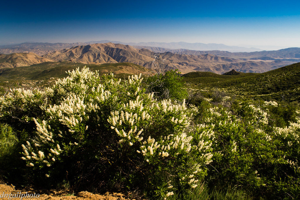
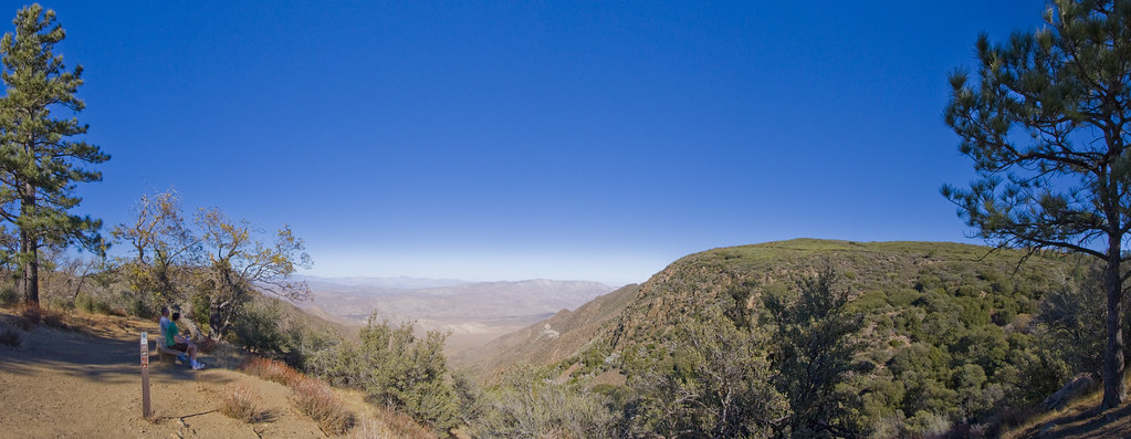
Sunrise & Sunset Photos

Golden Hour at the Gate
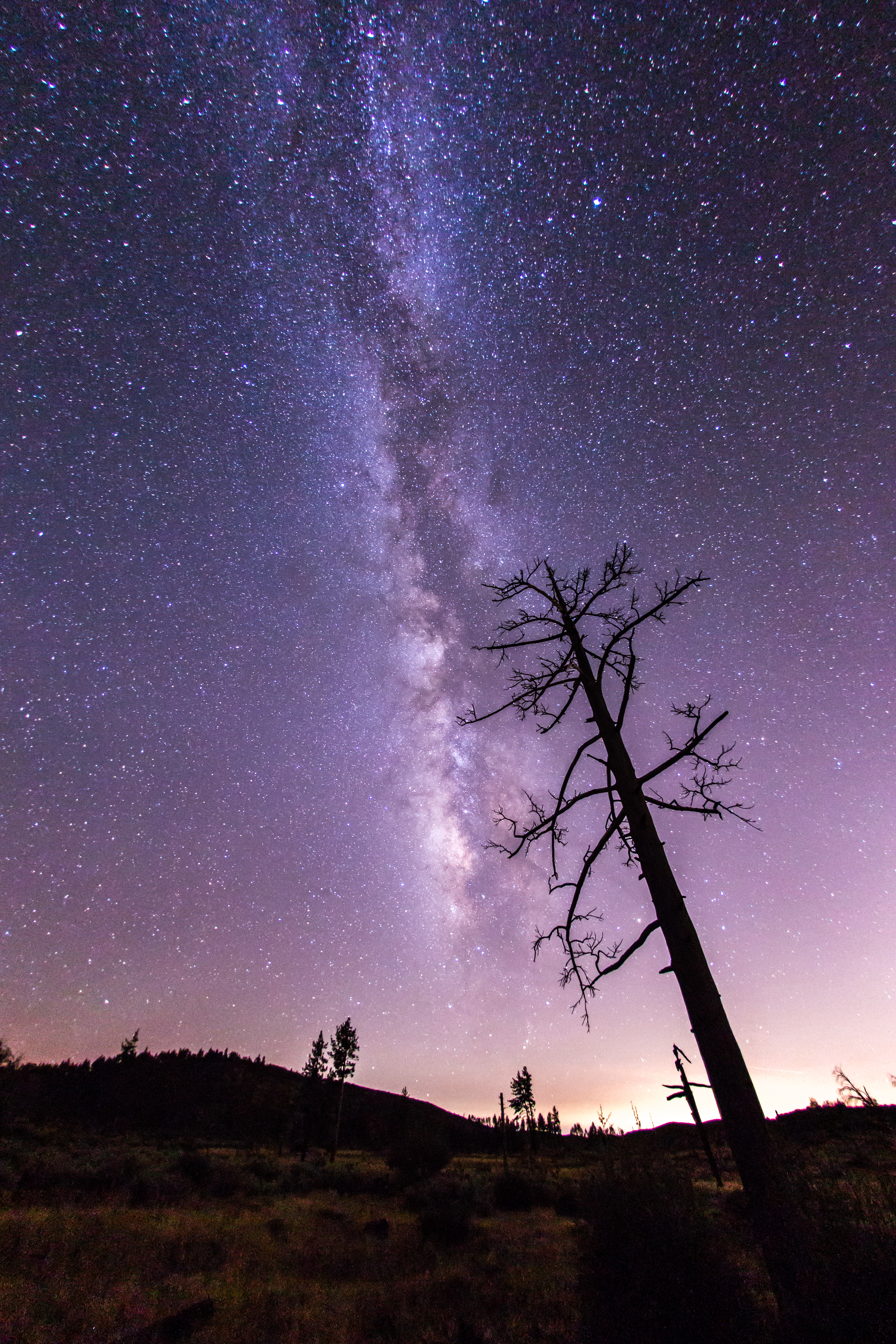
The night sky at Cuyamaca Rancho State Park
Vía Láctea
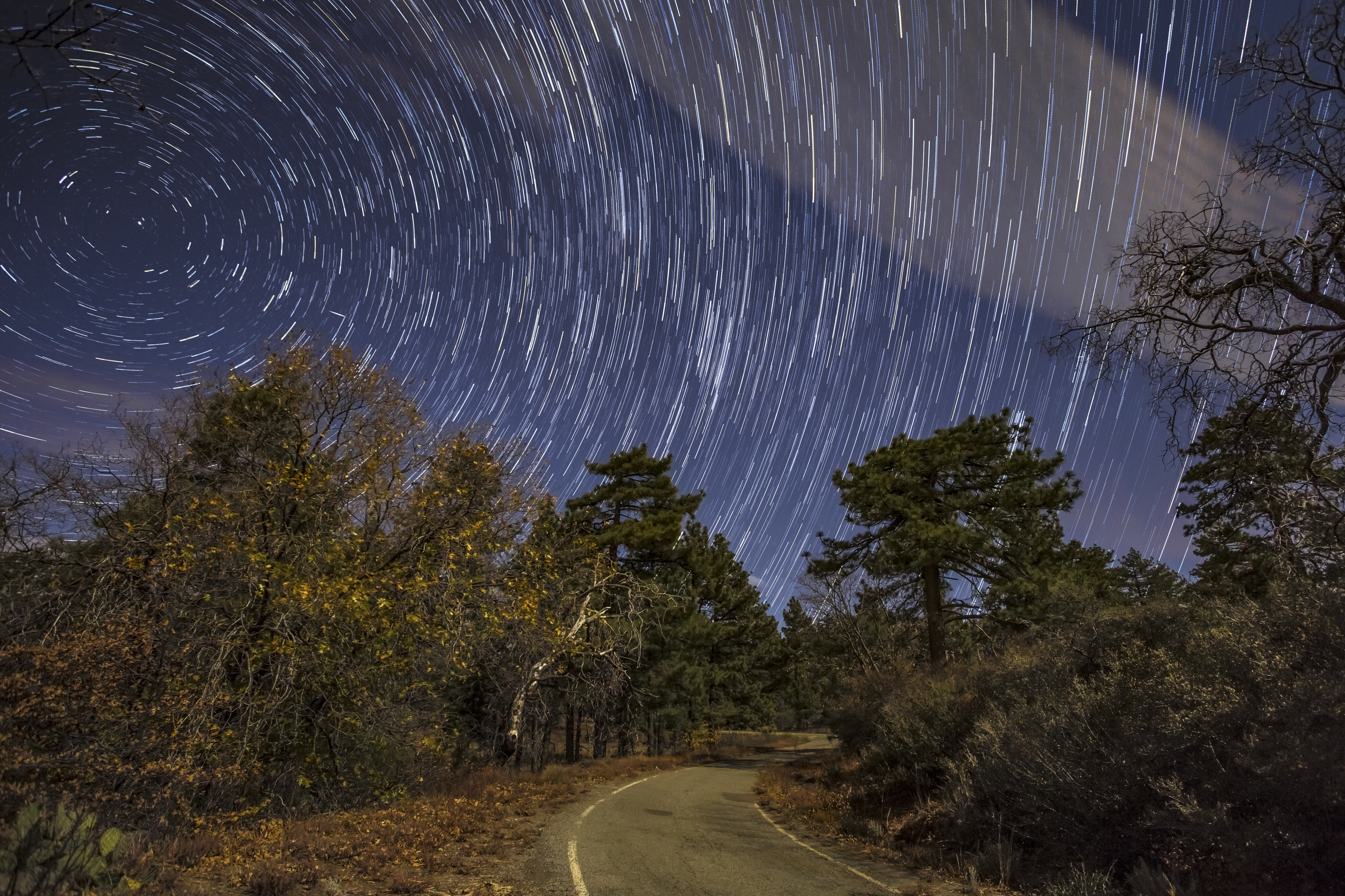
Take Me Home, Star Trails Road
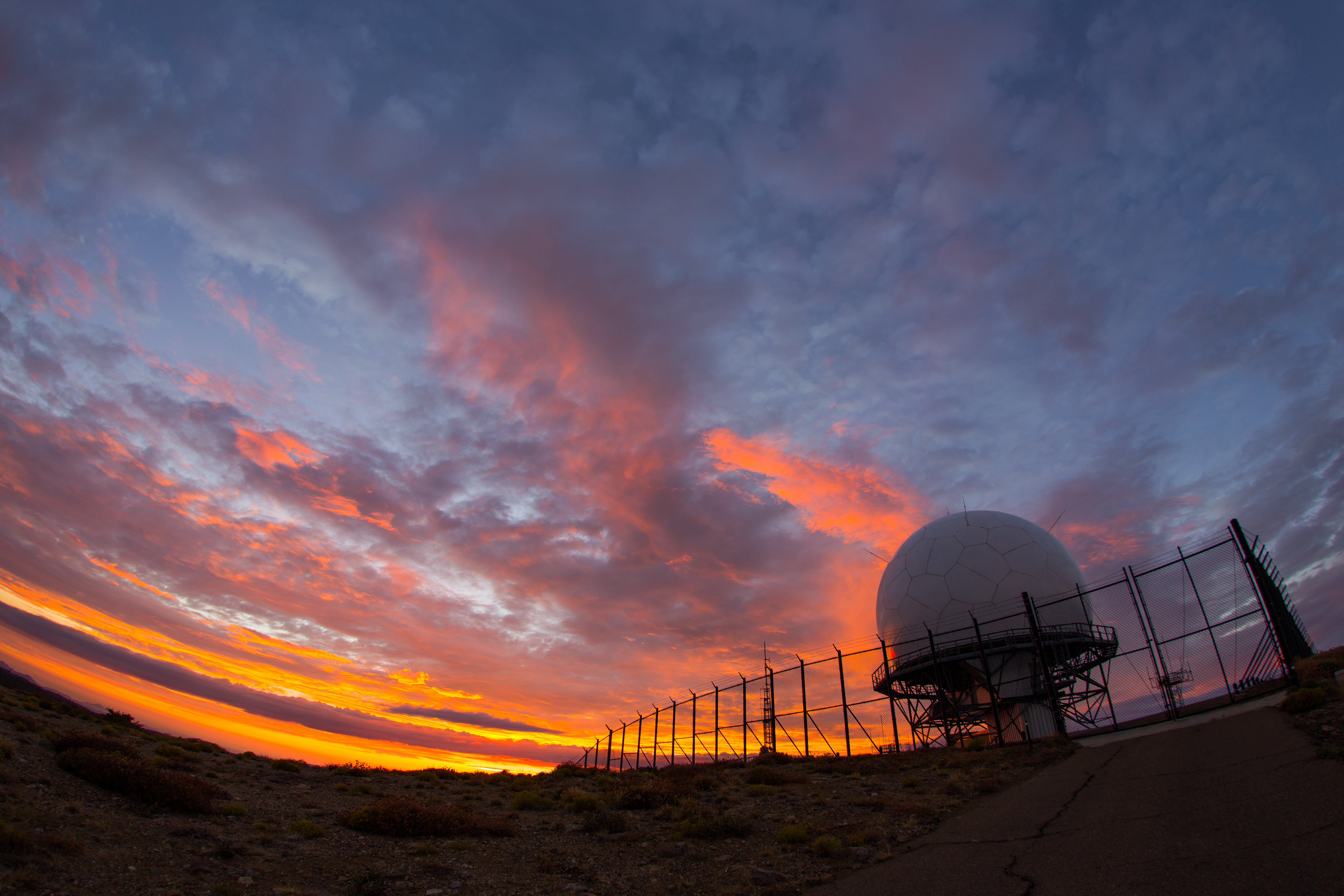
Colorful sunset at the radar dome atop Mount Laguna

Sunset from Mount Laguna
Moonrise at sunset, Mount Laguna
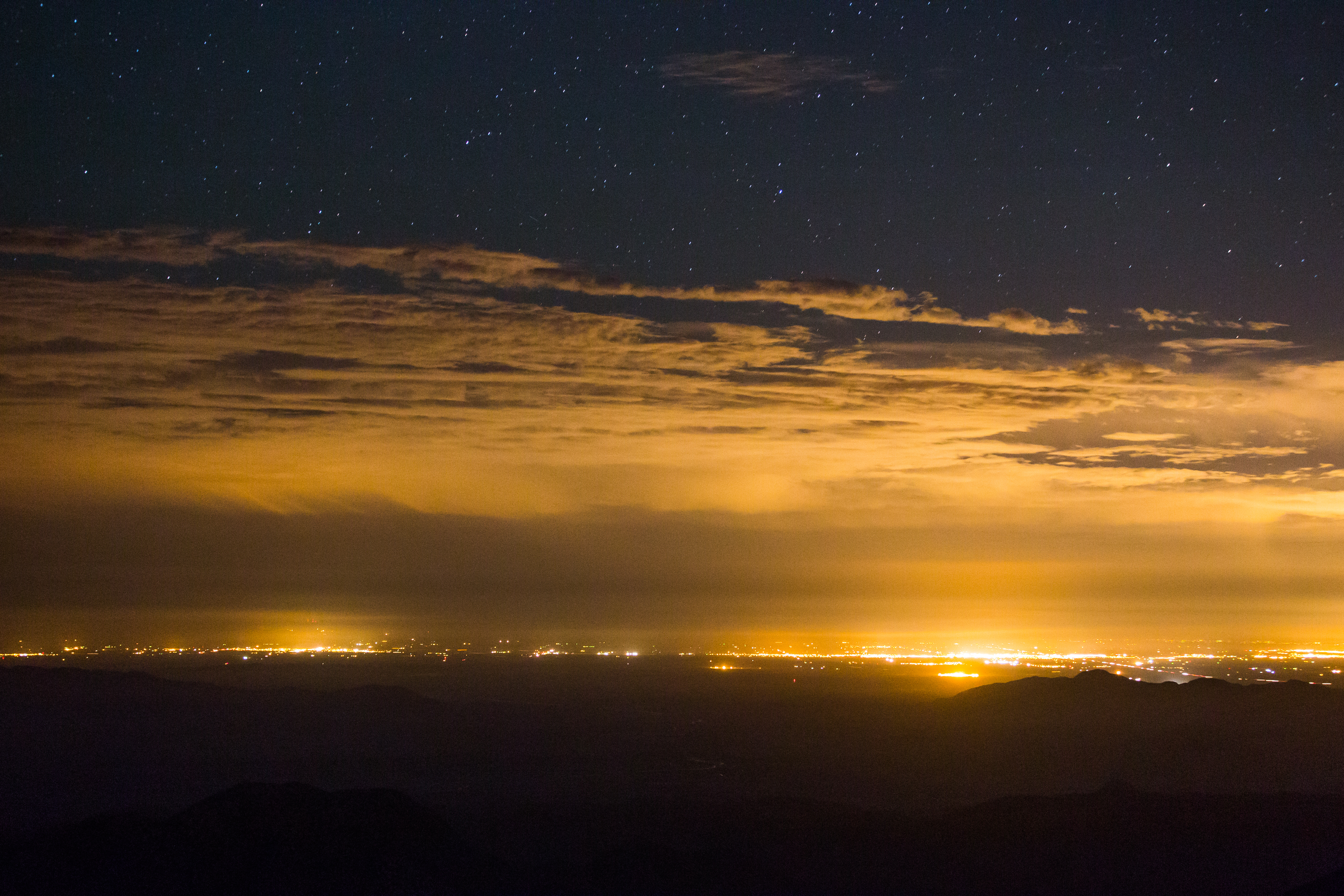
After-sunset view form atop Ghost Mountain / Yaquitepec
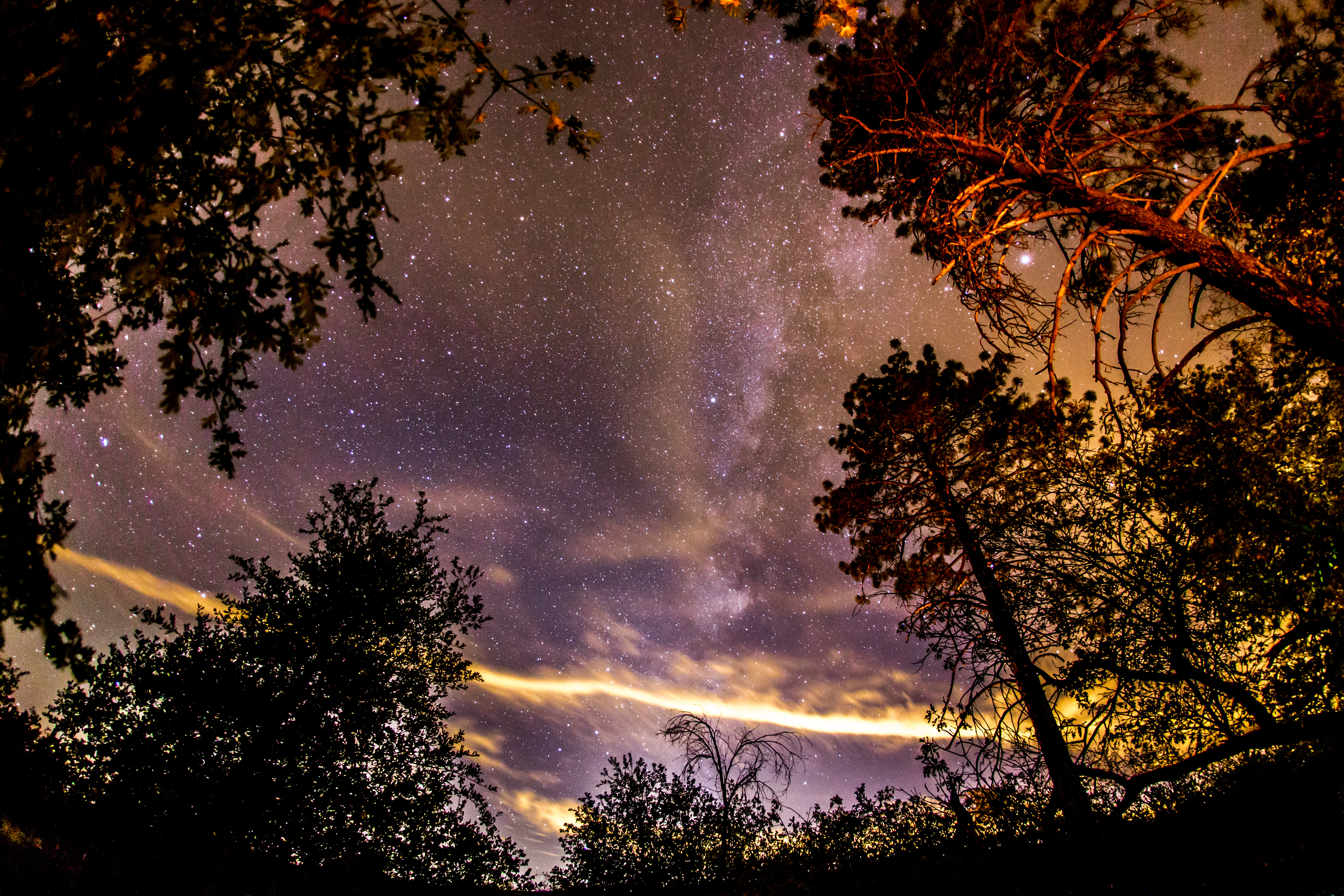
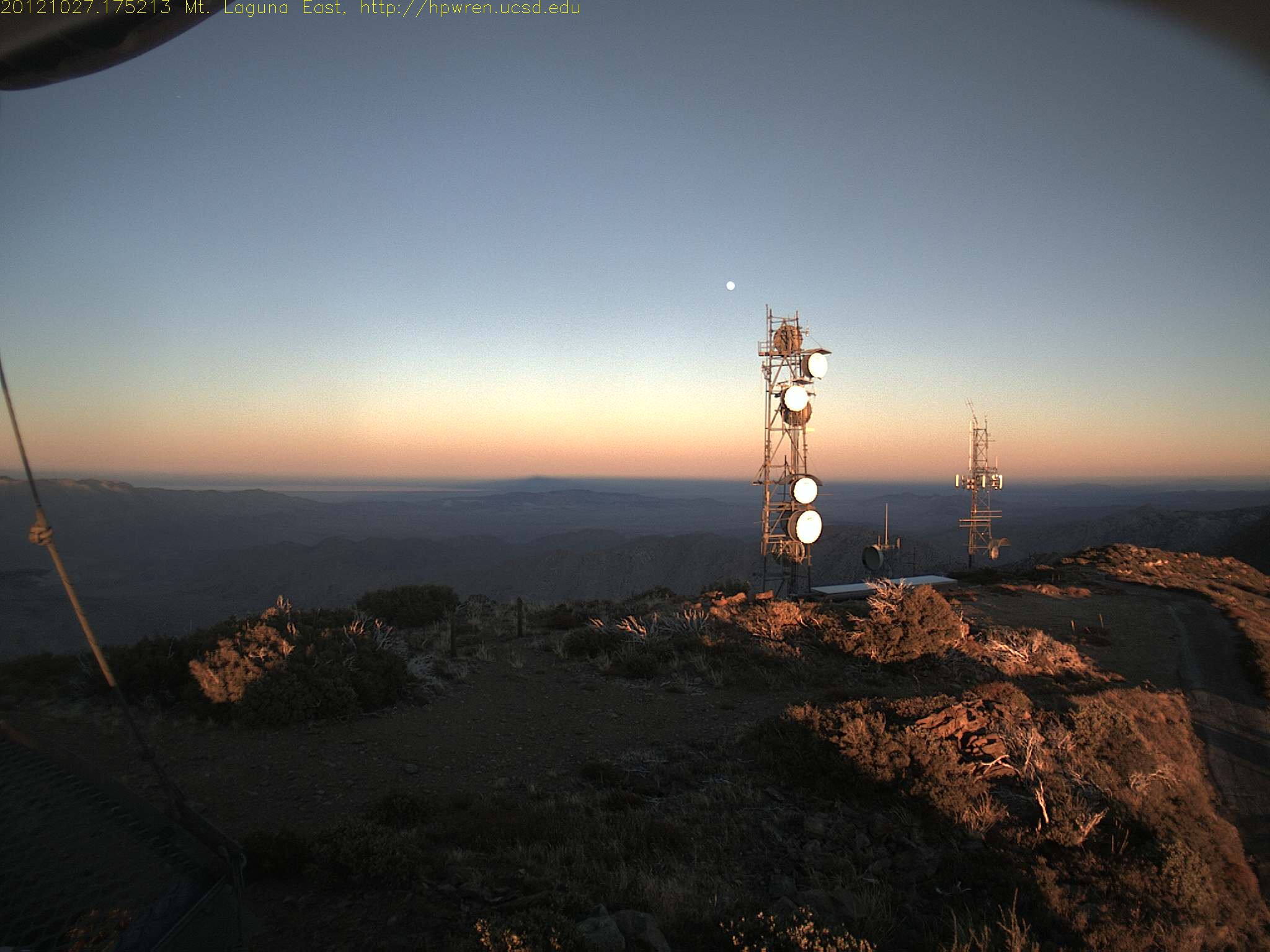
Stars, clouds, and light pollution. Looking east from atop Mount Laguna.
A fellow photographer's camera in my frame here. I'm still getting used to the insanely-wide angle that my Sigma 15mm has now that I've recently started using a full frame camera body.
Lightning strike over El Centro, California
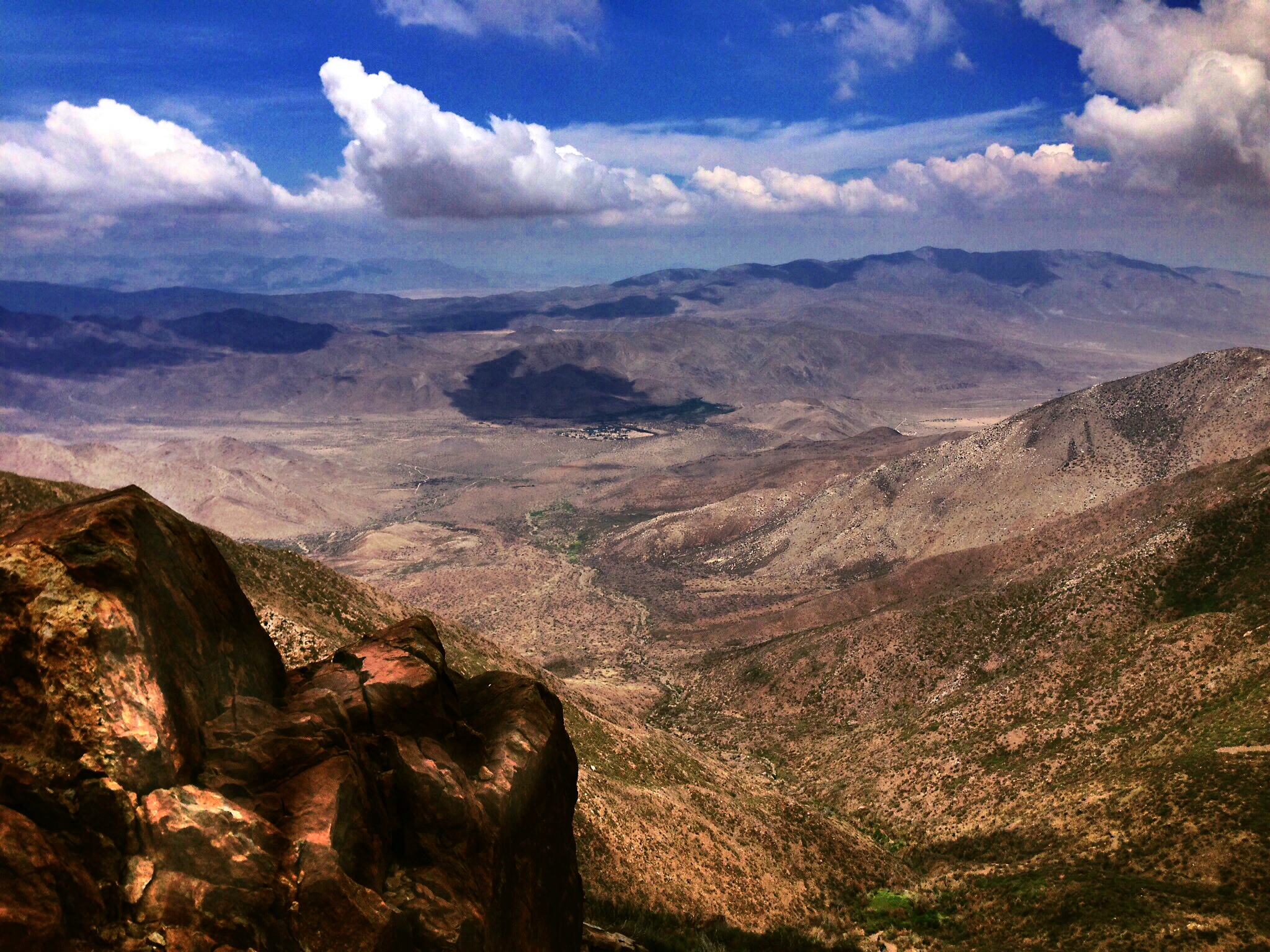
Deserted In the Desert - New Favorite Campsite In Anza-Borrego
Milky Way Panorama at Cuyamaca Rancho State Park. Different processing.
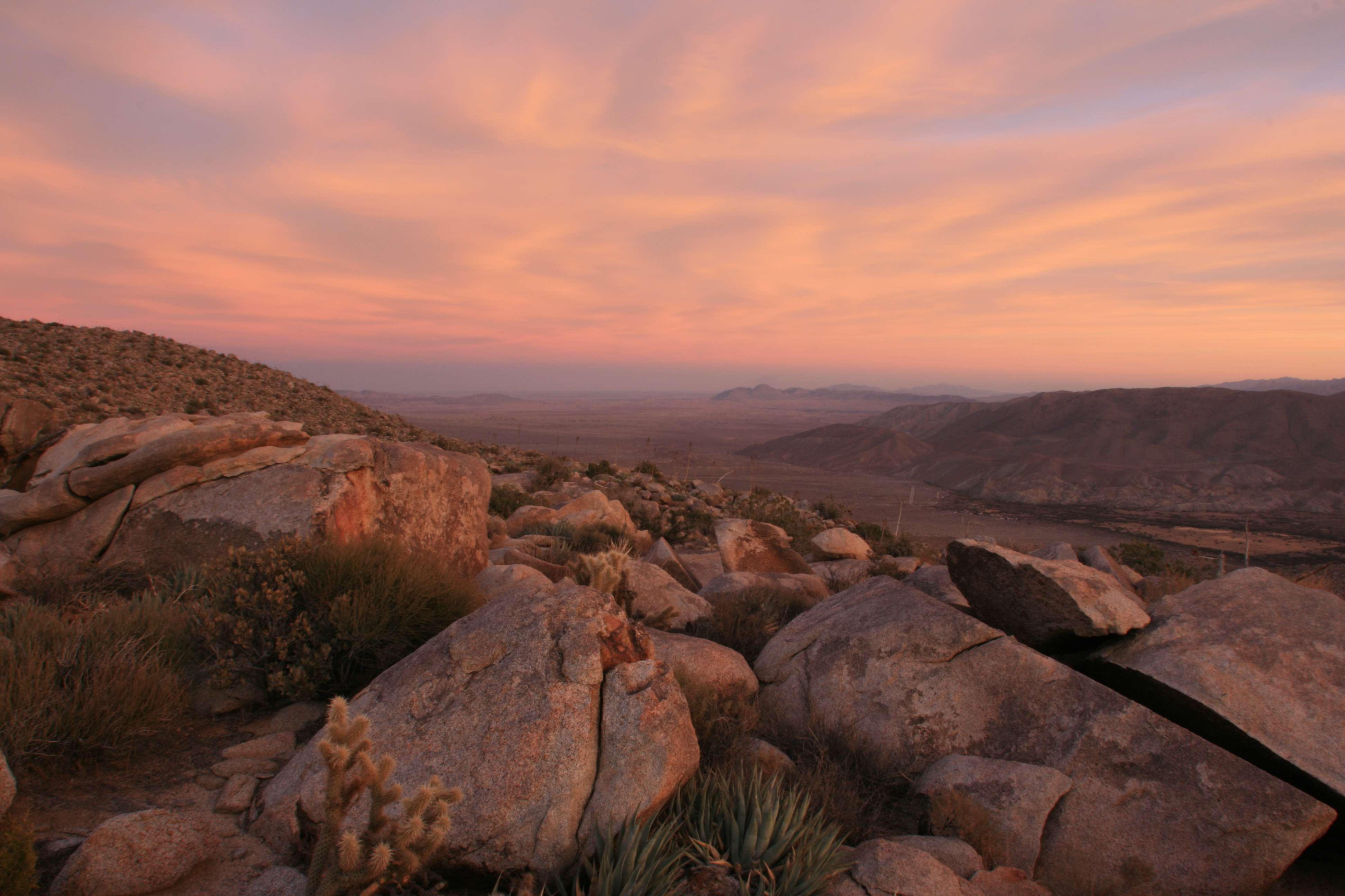
Anza Borrego from top of Ghost Mnt. The colour wraps around you like a blanket... D .

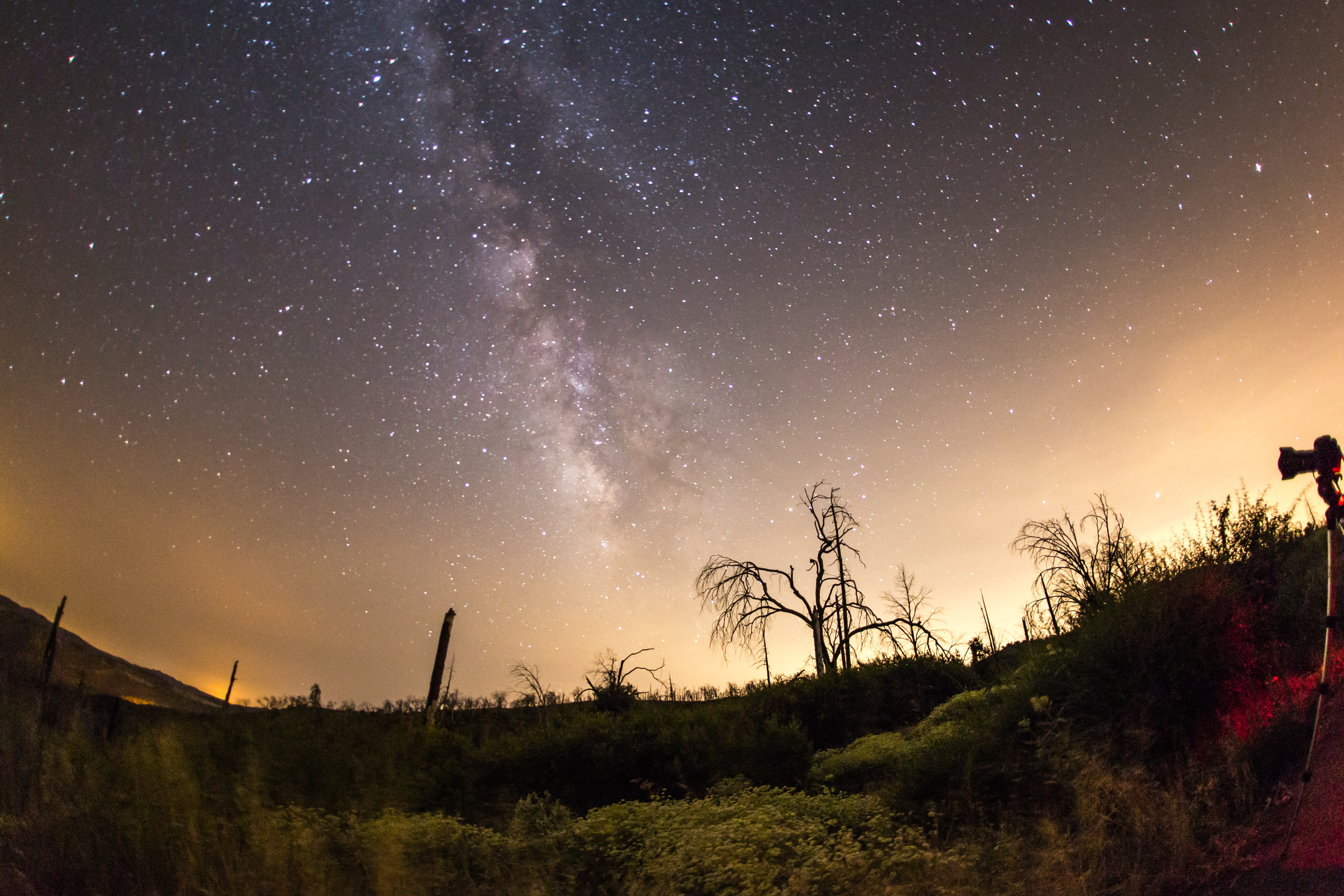
The Milky Way and fire-damaged trees. Paso Picacho Campground at Cuyamaca Rancho State Park
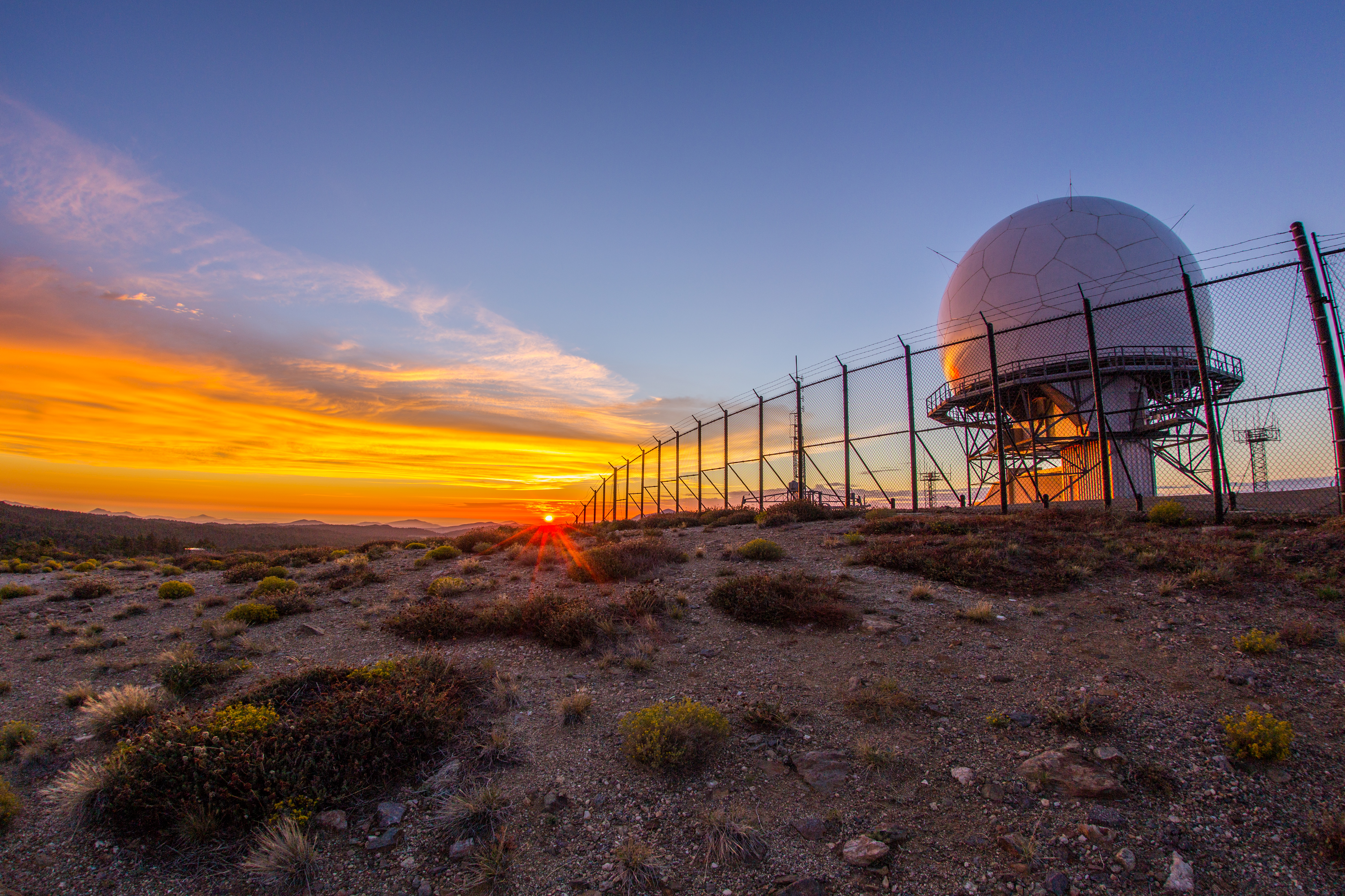
Colorful sunset at the Mount Laguna radar dome.

Milky Way and silhouettes of burnt trees in Cuyamaca Rancho State Park
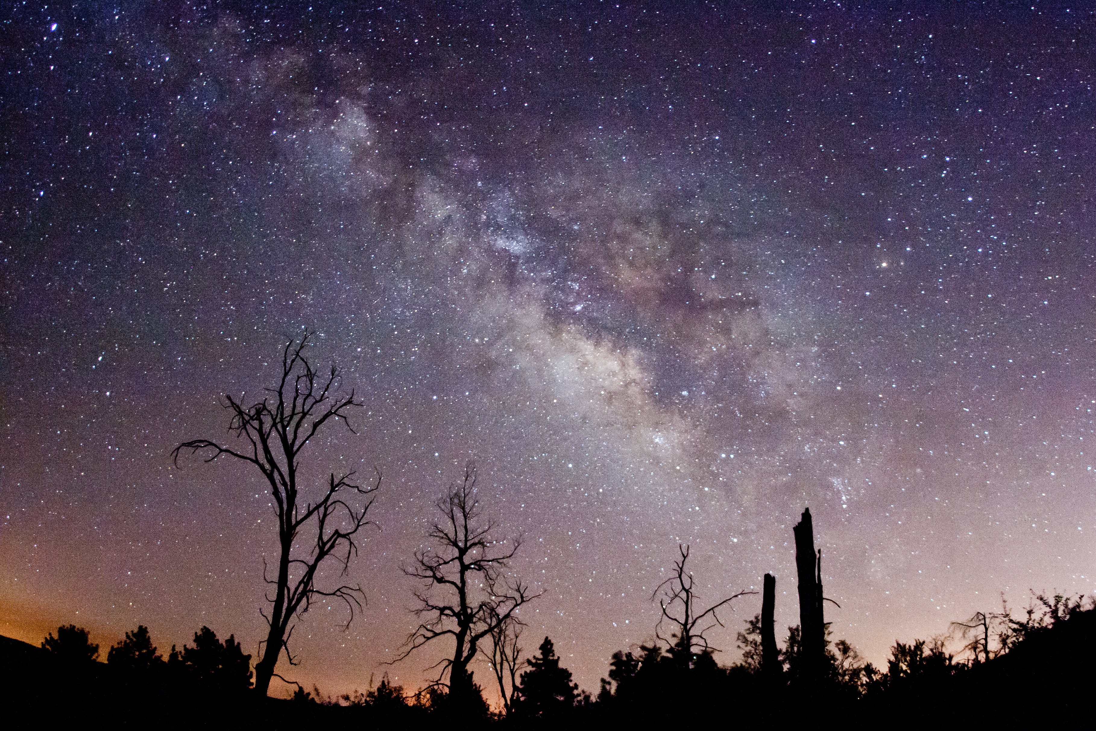
Via Lactea. Milky Way behind burnt trees. Cuyamaca Rancho State Park.
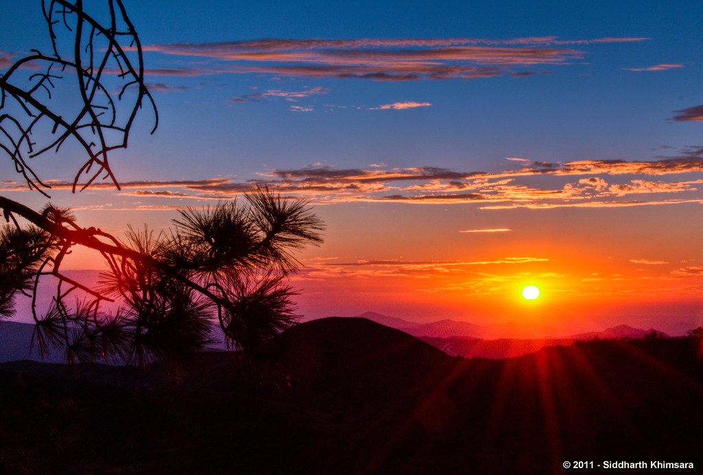
A Stunning Sunset from Sunrise Highway @ Mt.Laguna, Julian, CA
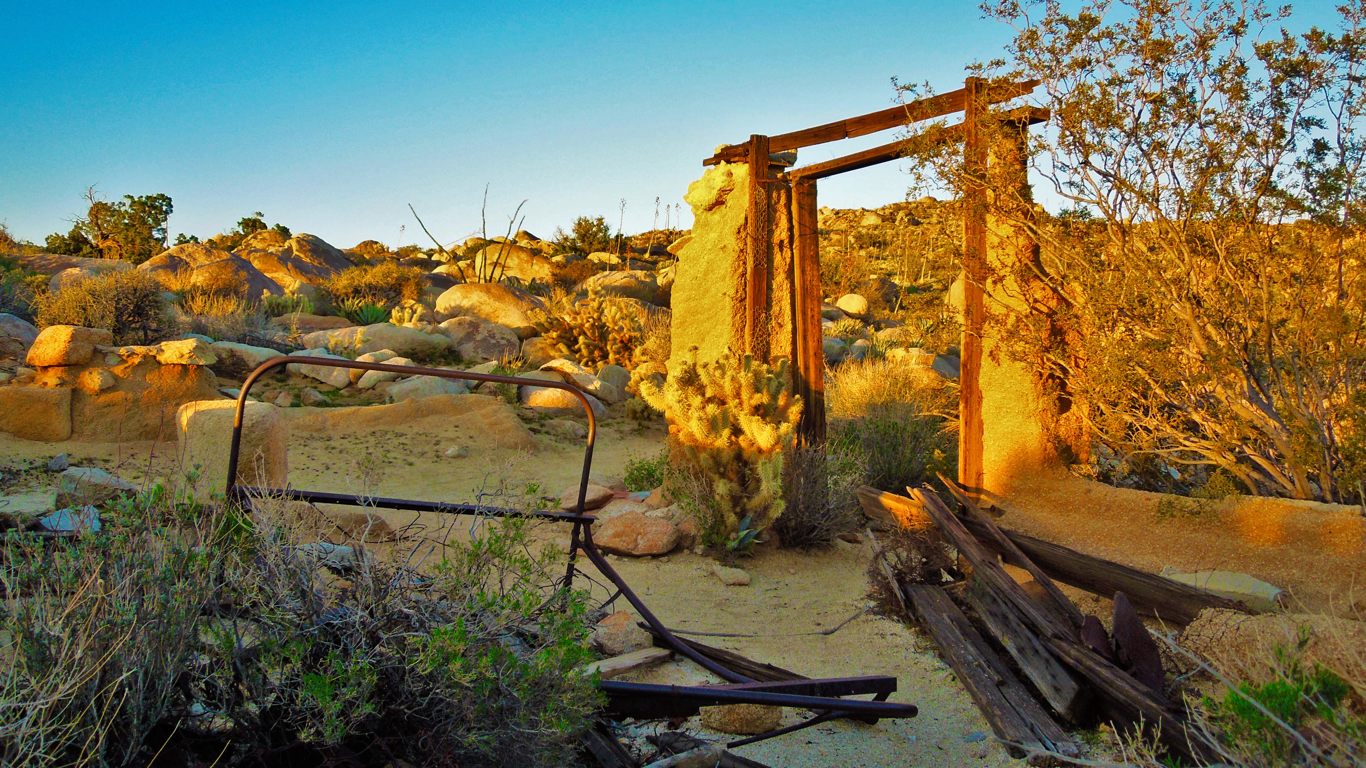
Entrance to Nowhere
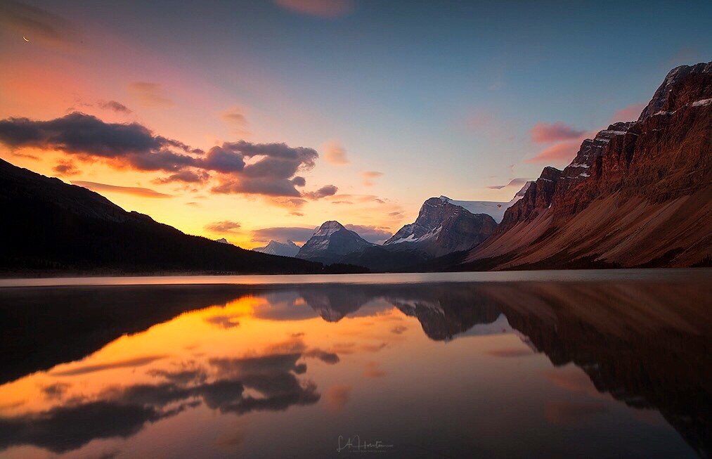
Sunrise at Bow Lake
1/100 First day sunrise...
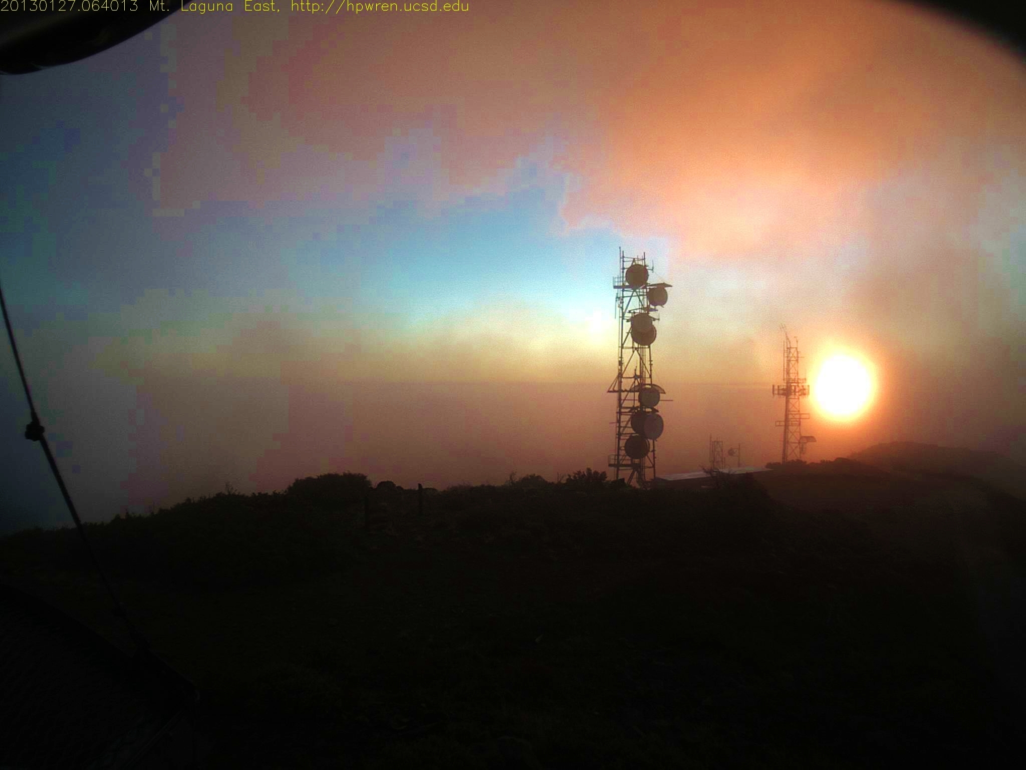
Sunrise after thunderstorm
#mtlaguna #sunrisehwy #PacificCrestTrail #california #iphone
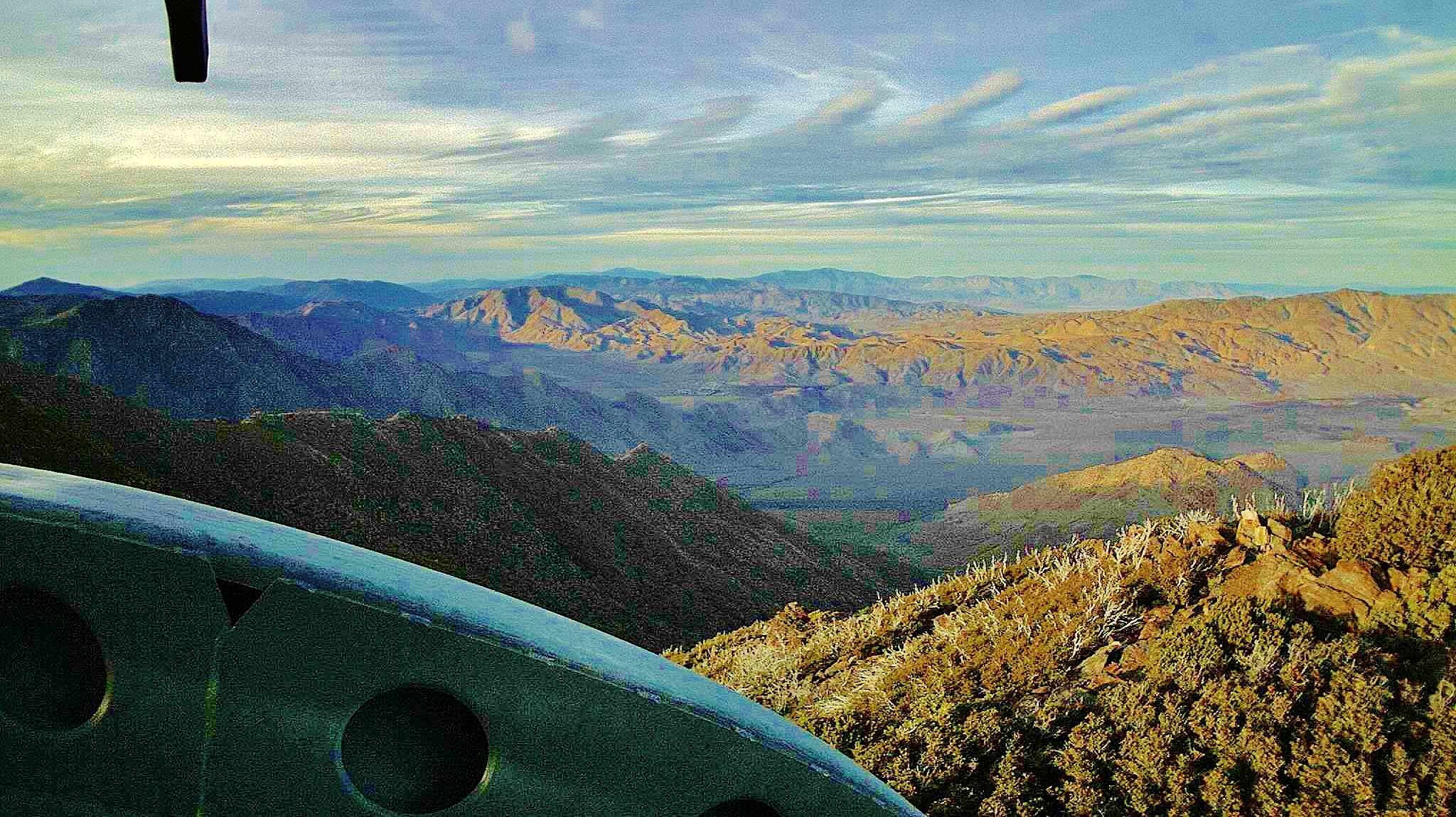
Mt Laguna South view on the first day of April 2013 - at sunrise 0640AM
Mt Laguna view: Desert sunrise 12~12~2012
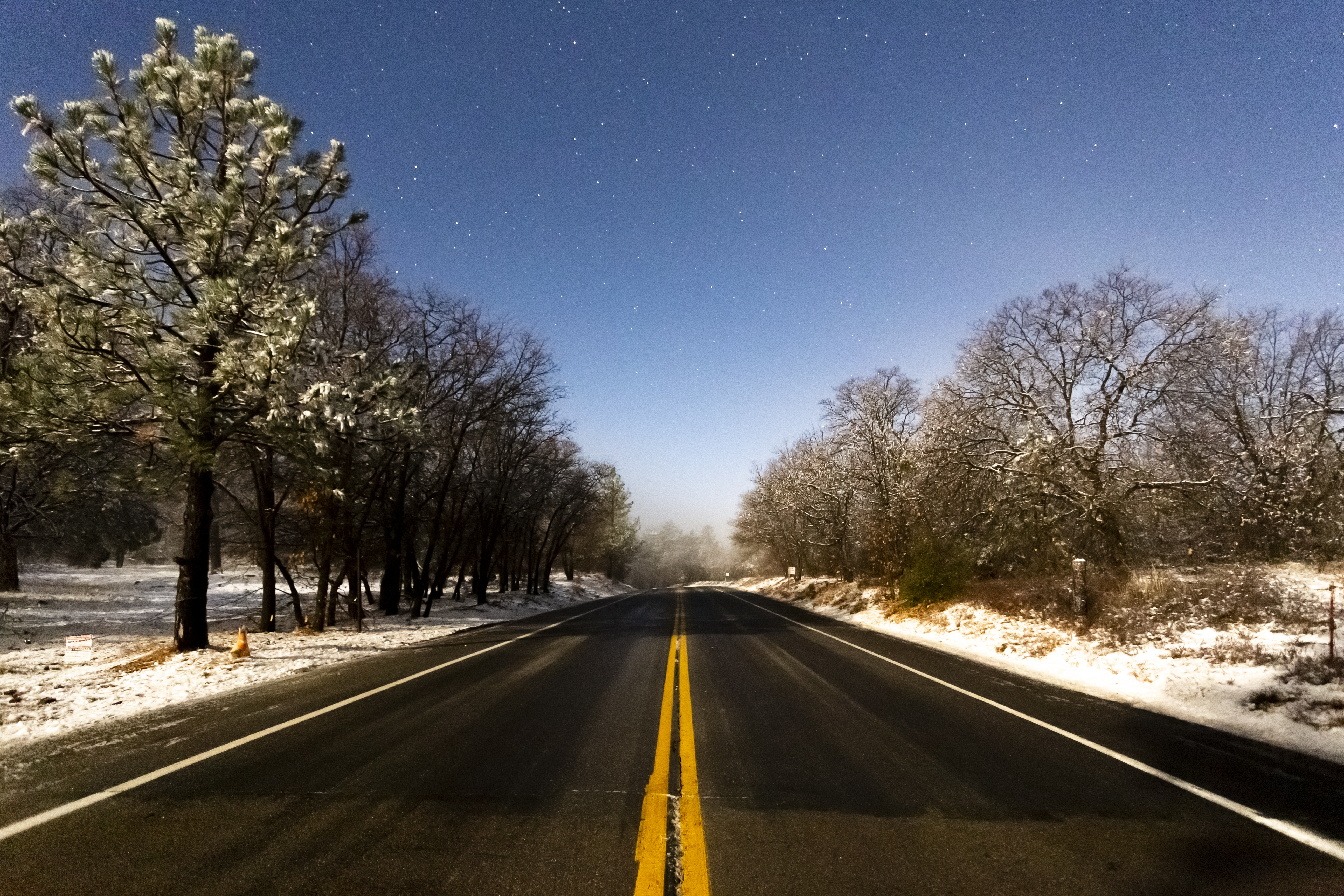
First Snow of the Season. Sunrise Highway in Mount Laguna
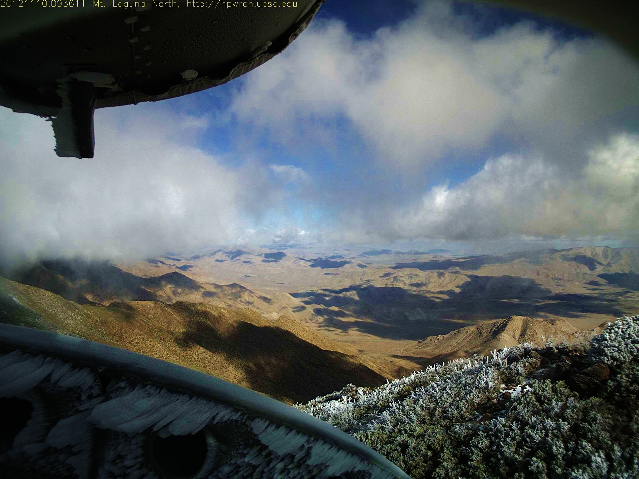
Mount Laguna after the snow and ice storm 10-Nov-2012 9:36 am PST
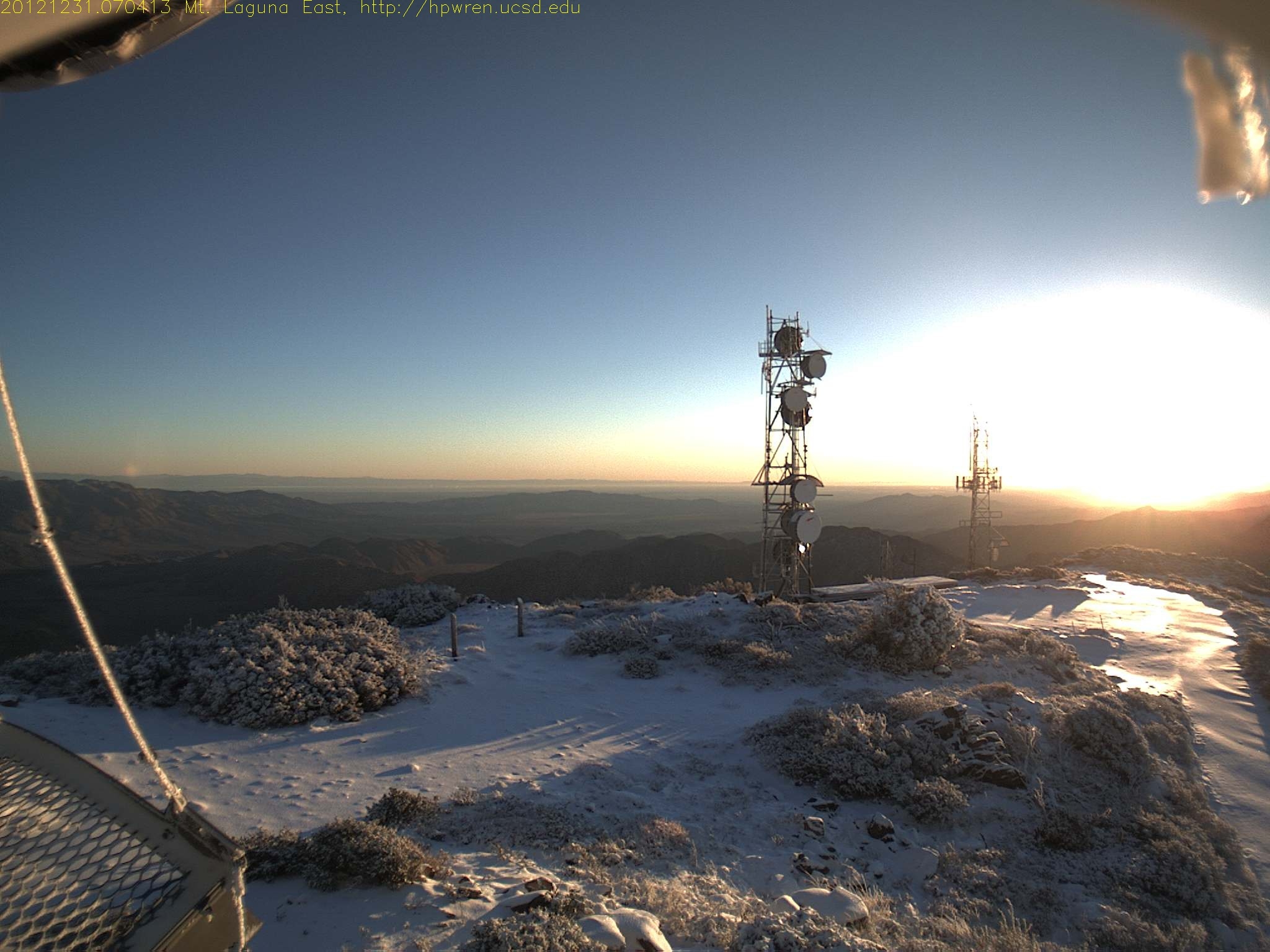
Last sunrise of 2012 (7:04 AM)
Falling Ice ~ Mount Laguna
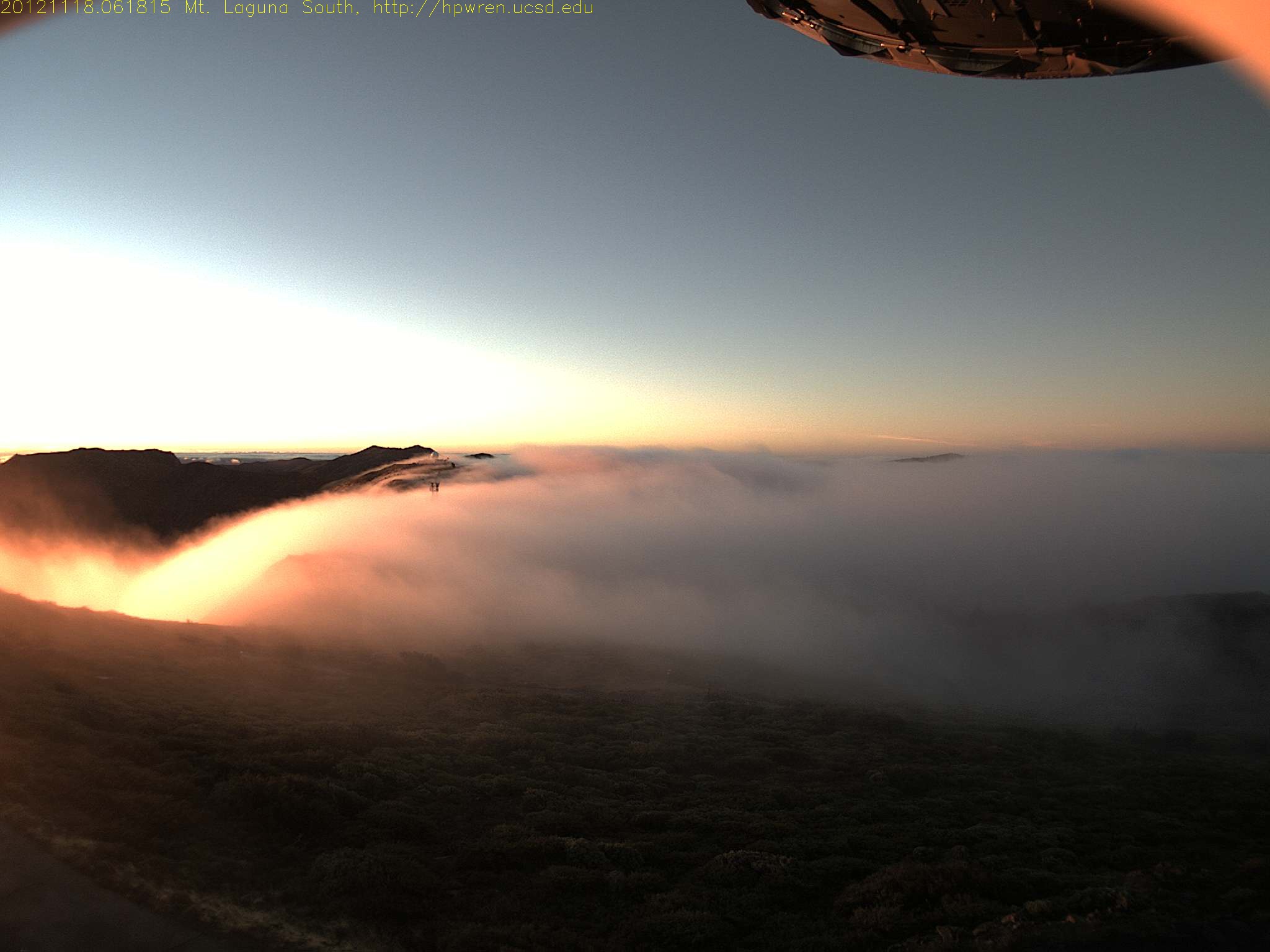
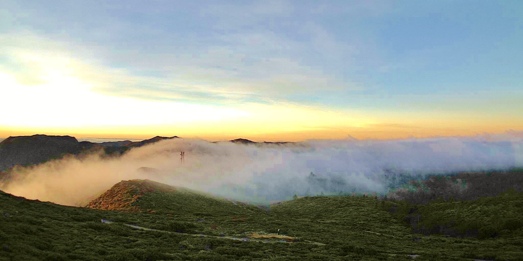
Early morning mist, sunrise at Mt Laguna
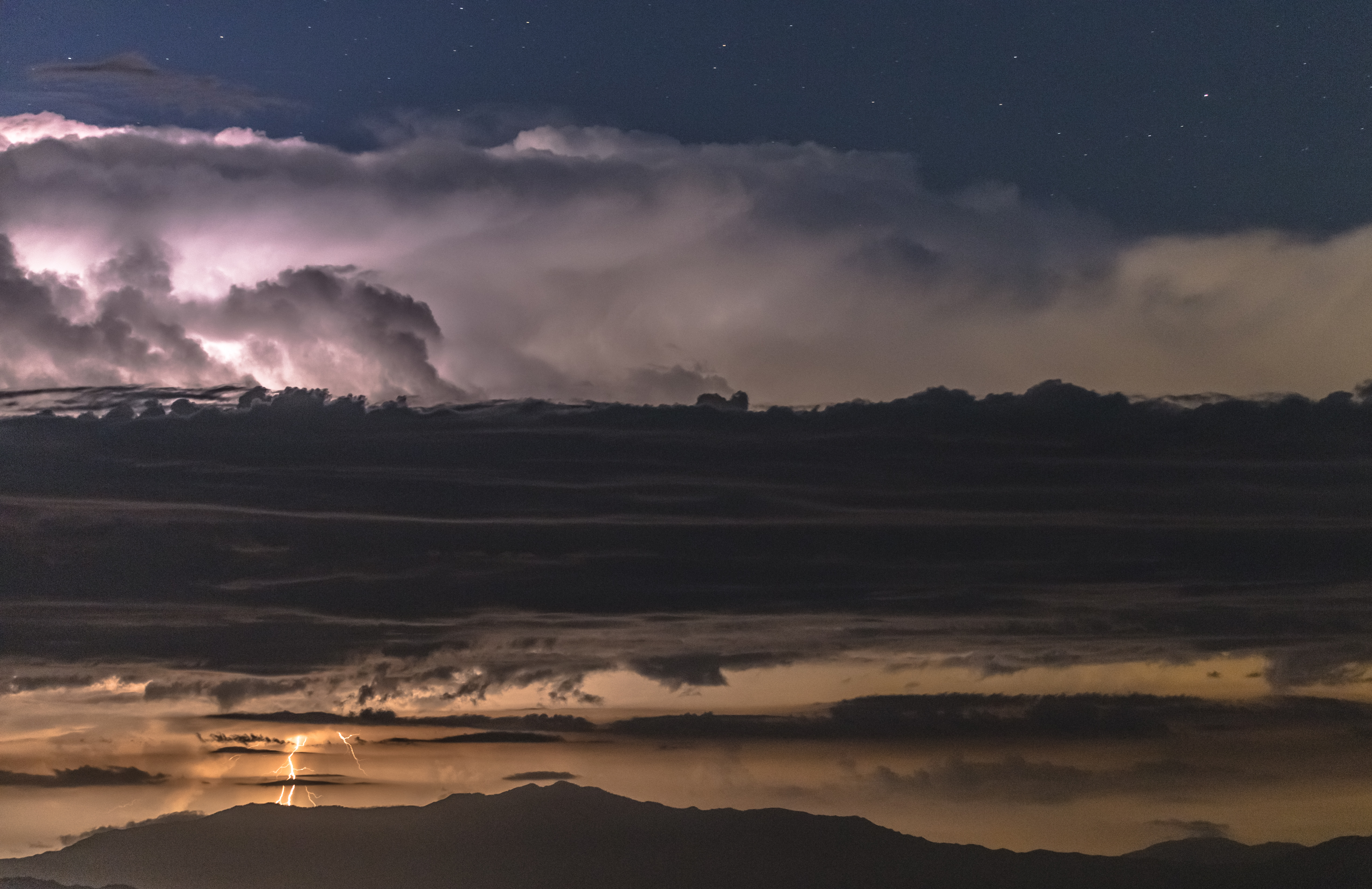
Lighting. Artistry By Mother Nature.
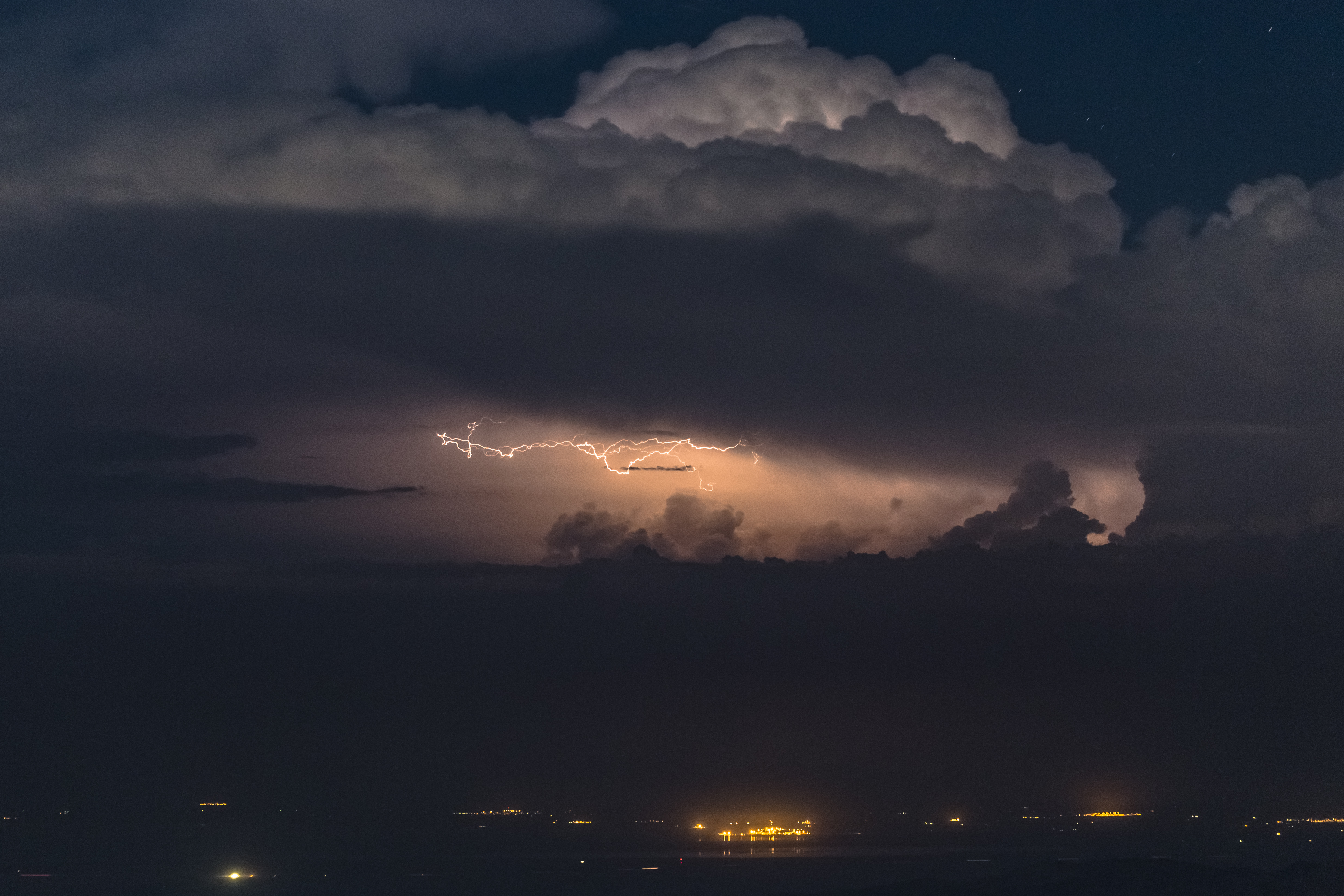
Horizontal Lightning Over Bombay Beach at the Salton Sea
Mt Laguna east view at sunrise
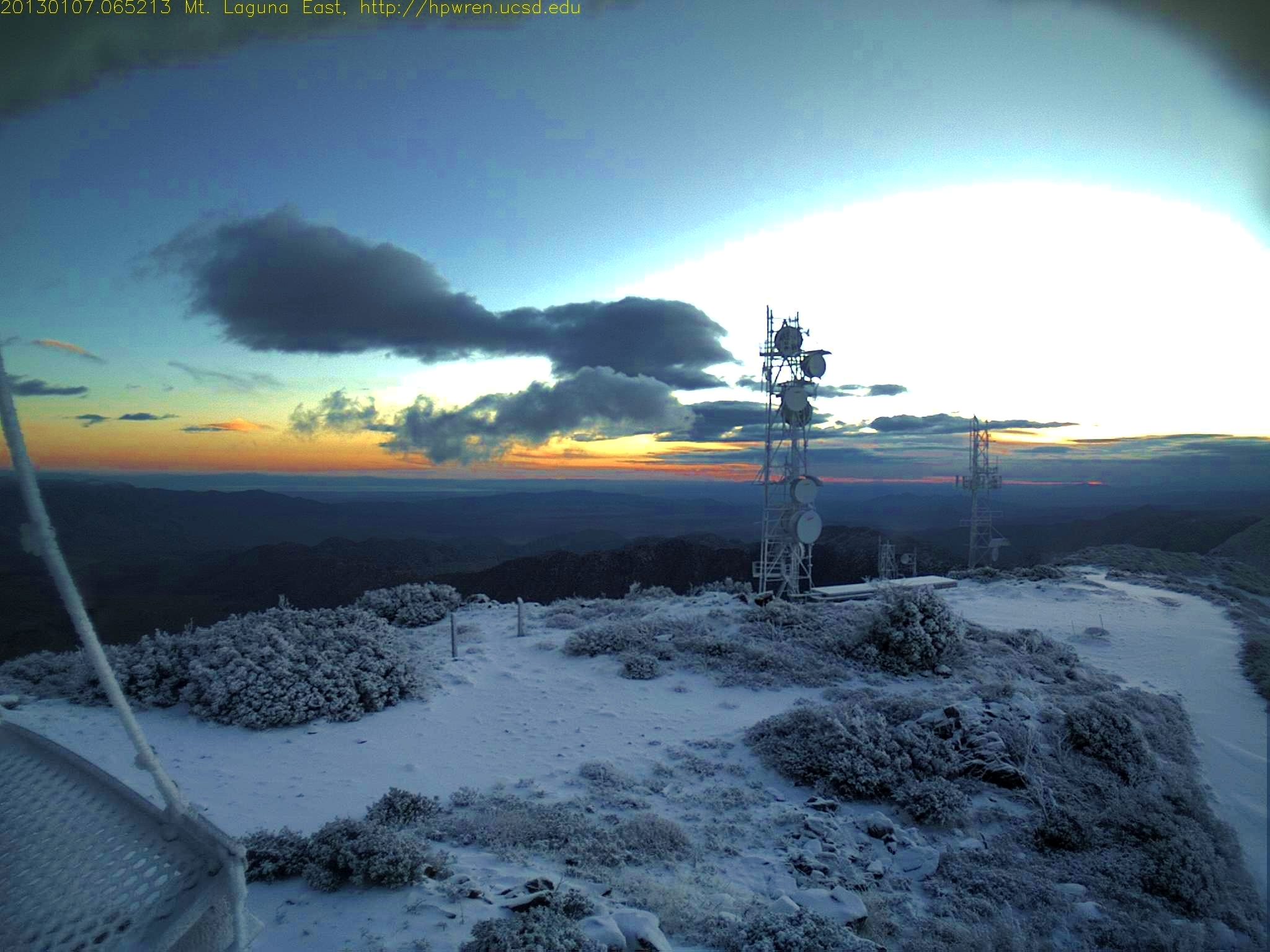
Mt Laguna dawn 0645 AM January 7 2013
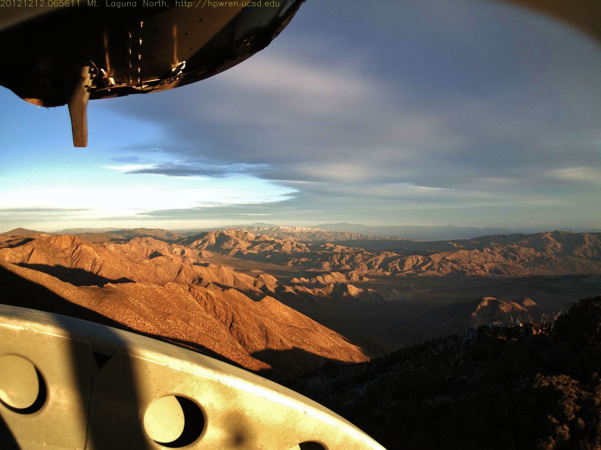
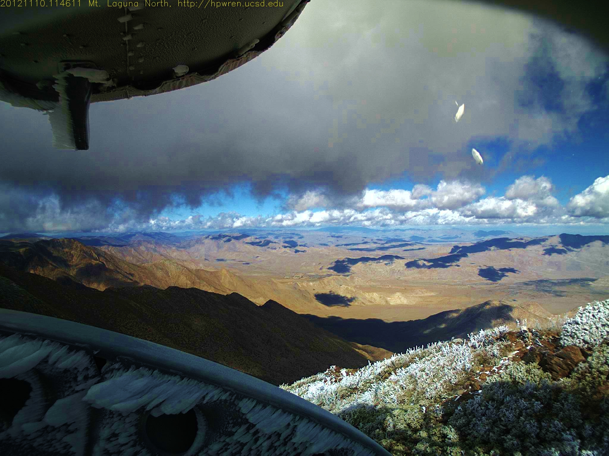
Mt Laguna North view
20170504_084347.jpg
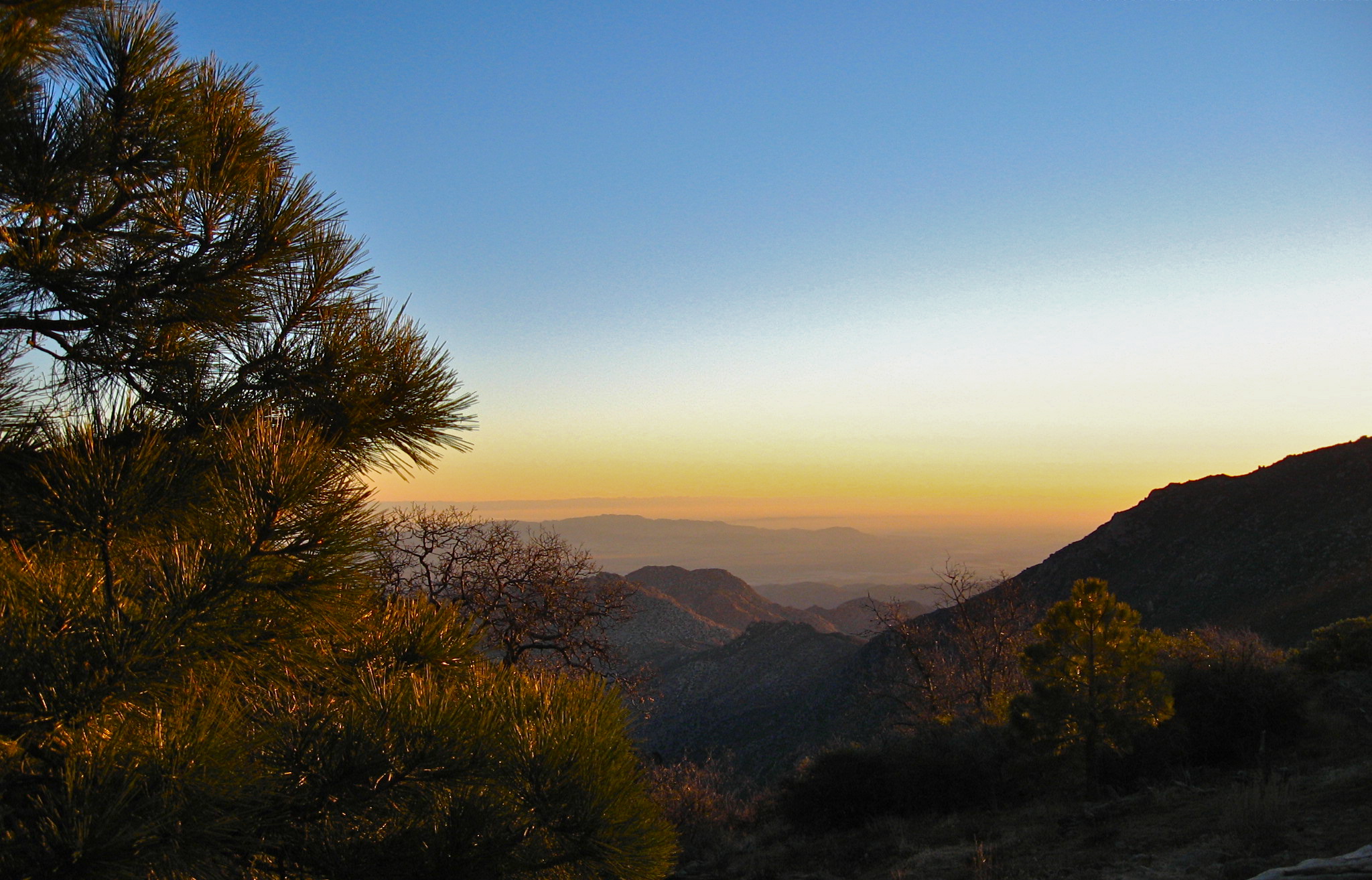
sunrise desert view 1
Sunrise Highway, Sunrise Hwy, California, USA Map
Search another place
Near Places
Kwaaymii Point, Julian, CA, USA
Laguna Campground, Pine Valley, CA, USA
Monument Peak, California, USA
Mount Laguna, Monument Peak Rd, California, USA
Julian, CA, USA
Stonewall Peak Trail, Julian, CA, USA
Green Valley Falls, California, USA
Paso Picacho Campground, CA-79, Julian, CA, USA
CA-79, Descanso, CA, USA
Lake Cuyamaca Restaurant & Store, California 79, Julian, CA, USA
Lake Cuyamaca, California, USA
Cuyamaca Mountains, California, USA
Navajo Rd, Julian, CA, USA
Pima Trail, Julian, CA, USA
Cuyamaca Peak, California, USA
Iron Springs Way, Julian, CA, USA
KQ Ranch RV Resort, K Q Ranch Rd, Julian, CA, USA
Lois Lane, Lois Ln, Julian, CA, USA
Twin Oaks Ln, Julian, CA, USA
Iron Springs Rd, Julian, CA, USA
Recent Searches
- Sunrise Sunset Times of Tenjo, Cundinamarca, Colombia
- Sunrise Sunset Times of -1 Gosho, Ichihara, Chiba -, Japan
- Sunrise Sunset Times of -, Japan
- Sunrise Sunset Times of Spaceport America, Co Rd A, Truth or Consequences, NM, USA
- Sunrise Sunset Times of Warwick, RI, USA
- Sunrise Sunset Times of Moriyama House, 3-chōme-21-21 Nishikamata, Ota City, Tokyo -, Japan
- Sunrise Sunset Times of Manjojiki, Sawasaki, Sado, Niigata -, Japan
- Sunrise Sunset Times of W Granada St, Tampa, FL, USA
- Sunrise Sunset Times of Jalapa, Oaxaca, Mexico
- Sunrise Sunset Times of Pykes Down, Ivybridge PL21 0BY, UK