Sunrise Sunset Times of Mount Bigger, Stikine Region, BC V0W, Canada
Location: Canada > British Columbia > Atlin >
Timezone:
America/Vancouver
Current Time:
2024-05-08 18:41:30
Longitude:
-136.6569444
Latitude:
59.4225
Sunrise Today:
05:43:47 AM
Sunset Today:
10:22:17 PM
Daylength Today:
16h 38m 30s
Sunrise Tomorrow:
05:41:23 AM
Sunset Tomorrow:
10:24:37 PM
Daylength Tomorrow:
16h 43m 14s
Year Show All Dates
| Date | Sunrise | Sunset | Daylength |
|---|---|---|---|
| 01/01/2024 | 10:03:00 AM | 04:18:02 PM | 6h 15m 2s |
| 01/02/2024 | 10:02:27 AM | 04:19:31 PM | 6h 17m 4s |
| 01/03/2024 | 10:01:49 AM | 04:21:04 PM | 6h 19m 15s |
| 01/04/2024 | 10:01:06 AM | 04:22:41 PM | 6h 21m 35s |
| 01/05/2024 | 10:00:18 AM | 04:24:22 PM | 6h 24m 4s |
| 01/06/2024 | 09:59:26 AM | 04:26:06 PM | 6h 26m 40s |
| 01/07/2024 | 09:58:29 AM | 04:27:54 PM | 6h 29m 25s |
| 01/08/2024 | 09:57:28 AM | 04:29:46 PM | 6h 32m 18s |
| 01/09/2024 | 09:56:22 AM | 04:31:41 PM | 6h 35m 19s |
| 01/10/2024 | 09:55:13 AM | 04:33:39 PM | 6h 38m 26s |
| 01/11/2024 | 09:53:58 AM | 04:35:40 PM | 6h 41m 42s |
| 01/12/2024 | 09:52:40 AM | 04:37:43 PM | 6h 45m 3s |
| 01/13/2024 | 09:51:18 AM | 04:39:50 PM | 6h 48m 32s |
| 01/14/2024 | 09:49:52 AM | 04:41:59 PM | 6h 52m 7s |
| 01/15/2024 | 09:48:23 AM | 04:44:10 PM | 6h 55m 47s |
| 01/16/2024 | 09:46:50 AM | 04:46:23 PM | 6h 59m 33s |
| 01/17/2024 | 09:45:13 AM | 04:48:39 PM | 7h 3m 26s |
| 01/18/2024 | 09:43:33 AM | 04:50:57 PM | 7h 7m 24s |
| 01/19/2024 | 09:41:50 AM | 04:53:16 PM | 7h 11m 26s |
| 01/20/2024 | 09:40:03 AM | 04:55:37 PM | 7h 15m 34s |
| 01/21/2024 | 09:38:14 AM | 04:58:00 PM | 7h 19m 46s |
| 01/22/2024 | 09:36:21 AM | 05:00:24 PM | 7h 24m 3s |
| 01/23/2024 | 09:34:25 AM | 05:02:49 PM | 7h 28m 24s |
| 01/24/2024 | 09:32:27 AM | 05:05:16 PM | 7h 32m 49s |
| 01/25/2024 | 09:30:26 AM | 05:07:43 PM | 7h 37m 17s |
| 01/26/2024 | 09:28:23 AM | 05:10:12 PM | 7h 41m 49s |
| 01/27/2024 | 09:26:17 AM | 05:12:42 PM | 7h 46m 25s |
| 01/28/2024 | 09:24:08 AM | 05:15:12 PM | 7h 51m 4s |
| 01/29/2024 | 09:21:58 AM | 05:17:43 PM | 7h 55m 45s |
| 01/30/2024 | 09:19:45 AM | 05:20:15 PM | 8h 0m 30s |
| 01/31/2024 | 09:17:29 AM | 05:22:47 PM | 8h 5m 18s |
| 02/01/2024 | 09:15:12 AM | 05:25:20 PM | 8h 10m 8s |
| 02/02/2024 | 09:12:53 AM | 05:27:53 PM | 8h 15m 0s |
| 02/03/2024 | 09:10:32 AM | 05:30:26 PM | 8h 19m 54s |
| 02/04/2024 | 09:08:09 AM | 05:33:00 PM | 8h 24m 51s |
| 02/05/2024 | 09:05:44 AM | 05:35:33 PM | 8h 29m 49s |
| 02/06/2024 | 09:03:17 AM | 05:38:07 PM | 8h 34m 50s |
| 02/07/2024 | 09:00:49 AM | 05:40:41 PM | 8h 39m 52s |
| 02/08/2024 | 08:58:19 AM | 05:43:15 PM | 8h 44m 56s |
| 02/09/2024 | 08:55:48 AM | 05:45:49 PM | 8h 50m 1s |
| 02/10/2024 | 08:53:15 AM | 05:48:23 PM | 8h 55m 8s |
| 02/11/2024 | 08:50:41 AM | 05:50:57 PM | 9h 0m 16s |
| 02/12/2024 | 08:48:06 AM | 05:53:30 PM | 9h 5m 24s |
| 02/13/2024 | 08:45:29 AM | 05:56:03 PM | 9h 10m 34s |
| 02/14/2024 | 08:42:51 AM | 05:58:37 PM | 9h 15m 46s |
| 02/15/2024 | 08:40:11 AM | 06:01:10 PM | 9h 20m 59s |
| 02/16/2024 | 08:37:31 AM | 06:03:42 PM | 9h 26m 11s |
| 02/17/2024 | 08:34:49 AM | 06:06:15 PM | 9h 31m 26s |
| 02/18/2024 | 08:32:07 AM | 06:08:47 PM | 9h 36m 40s |
| 02/19/2024 | 08:29:23 AM | 06:11:18 PM | 9h 41m 55s |
| 02/20/2024 | 08:26:38 AM | 06:13:50 PM | 9h 47m 12s |
| 02/21/2024 | 08:23:53 AM | 06:16:21 PM | 9h 52m 28s |
| 02/22/2024 | 08:21:06 AM | 06:18:51 PM | 9h 57m 45s |
| 02/23/2024 | 08:18:19 AM | 06:21:22 PM | 10h 3m 3s |
| 02/24/2024 | 08:15:31 AM | 06:23:52 PM | 10h 8m 21s |
| 02/25/2024 | 08:12:42 AM | 06:26:21 PM | 10h 13m 39s |
| 02/26/2024 | 08:09:52 AM | 06:28:50 PM | 10h 18m 58s |
| 02/27/2024 | 08:07:02 AM | 06:31:19 PM | 10h 24m 17s |
| 02/28/2024 | 08:04:11 AM | 06:33:48 PM | 10h 29m 37s |
| 02/29/2024 | 08:01:19 AM | 06:36:16 PM | 10h 34m 57s |
| 03/01/2024 | 07:58:27 AM | 06:38:43 PM | 10h 40m 16s |
| 03/02/2024 | 07:55:34 AM | 06:41:11 PM | 10h 45m 37s |
| 03/03/2024 | 07:52:41 AM | 06:43:38 PM | 10h 50m 57s |
| 03/04/2024 | 07:49:47 AM | 06:46:04 PM | 10h 56m 17s |
| 03/05/2024 | 07:46:52 AM | 06:48:30 PM | 11h 1m 38s |
| 03/06/2024 | 07:43:58 AM | 06:50:56 PM | 11h 6m 58s |
| 03/07/2024 | 07:41:02 AM | 06:53:22 PM | 11h 12m 20s |
| 03/08/2024 | 07:38:07 AM | 06:55:47 PM | 11h 17m 40s |
| 03/09/2024 | 07:35:11 AM | 06:58:12 PM | 11h 23m 1s |
| 03/10/2024 | 08:32:22 AM | 08:00:31 PM | 11h 28m 9s |
| 03/11/2024 | 08:29:25 AM | 08:02:55 PM | 11h 33m 30s |
| 03/12/2024 | 08:26:28 AM | 08:05:19 PM | 11h 38m 51s |
| 03/13/2024 | 08:23:31 AM | 08:07:43 PM | 11h 44m 12s |
| 03/14/2024 | 08:20:33 AM | 08:10:07 PM | 11h 49m 34s |
| 03/15/2024 | 08:17:36 AM | 08:12:31 PM | 11h 54m 55s |
| 03/16/2024 | 08:14:38 AM | 08:14:54 PM | 12h 0m 16s |
| 03/17/2024 | 08:11:40 AM | 08:17:17 PM | 12h 5m 37s |
| 03/18/2024 | 08:08:41 AM | 08:19:40 PM | 12h 10m 59s |
| 03/19/2024 | 08:05:43 AM | 08:22:03 PM | 12h 16m 20s |
| 03/20/2024 | 08:02:45 AM | 08:24:25 PM | 12h 21m 40s |
| 03/21/2024 | 07:59:46 AM | 08:26:48 PM | 12h 27m 2s |
| 03/22/2024 | 07:56:48 AM | 08:29:10 PM | 12h 32m 22s |
| 03/23/2024 | 07:53:49 AM | 08:31:33 PM | 12h 37m 44s |
| 03/24/2024 | 07:50:51 AM | 08:33:55 PM | 12h 43m 4s |
| 03/25/2024 | 07:47:52 AM | 08:36:17 PM | 12h 48m 25s |
| 03/26/2024 | 07:44:54 AM | 08:38:40 PM | 12h 53m 46s |
| 03/27/2024 | 07:41:55 AM | 08:41:02 PM | 12h 59m 7s |
| 03/28/2024 | 07:38:57 AM | 08:43:24 PM | 13h 4m 27s |
| 03/29/2024 | 07:35:59 AM | 08:45:46 PM | 13h 9m 47s |
| 03/30/2024 | 07:33:01 AM | 08:48:09 PM | 13h 15m 8s |
| 03/31/2024 | 07:30:03 AM | 08:50:31 PM | 13h 20m 28s |
| 04/01/2024 | 07:27:05 AM | 08:52:53 PM | 13h 25m 48s |
| 04/02/2024 | 07:24:08 AM | 08:55:16 PM | 13h 31m 8s |
| 04/03/2024 | 07:21:11 AM | 08:57:38 PM | 13h 36m 27s |
| 04/04/2024 | 07:18:14 AM | 09:00:01 PM | 13h 41m 47s |
| 04/05/2024 | 07:15:17 AM | 09:02:24 PM | 13h 47m 7s |
| 04/06/2024 | 07:12:21 AM | 09:04:46 PM | 13h 52m 25s |
| 04/07/2024 | 07:09:25 AM | 09:07:09 PM | 13h 57m 44s |
| 04/08/2024 | 07:06:30 AM | 09:09:32 PM | 14h 3m 2s |
| 04/09/2024 | 07:03:35 AM | 09:11:55 PM | 14h 8m 20s |
| 04/10/2024 | 07:00:40 AM | 09:14:19 PM | 14h 13m 39s |
| 04/11/2024 | 06:57:46 AM | 09:16:42 PM | 14h 18m 56s |
| 04/12/2024 | 06:54:52 AM | 09:19:06 PM | 14h 24m 14s |
| 04/13/2024 | 06:51:59 AM | 09:21:29 PM | 14h 29m 30s |
| 04/14/2024 | 06:49:07 AM | 09:23:53 PM | 14h 34m 46s |
| 04/15/2024 | 06:46:15 AM | 09:26:17 PM | 14h 40m 2s |
| 04/16/2024 | 06:43:23 AM | 09:28:41 PM | 14h 45m 18s |
| 04/17/2024 | 06:40:33 AM | 09:31:05 PM | 14h 50m 32s |
| 04/18/2024 | 06:37:43 AM | 09:33:29 PM | 14h 55m 46s |
| 04/19/2024 | 06:34:54 AM | 09:35:54 PM | 15h 1m 0s |
| 04/20/2024 | 06:32:05 AM | 09:38:18 PM | 15h 6m 13s |
| 04/21/2024 | 06:29:18 AM | 09:40:43 PM | 15h 11m 25s |
| 04/22/2024 | 06:26:31 AM | 09:43:07 PM | 15h 16m 36s |
| 04/23/2024 | 06:23:45 AM | 09:45:32 PM | 15h 21m 47s |
| 04/24/2024 | 06:21:01 AM | 09:47:57 PM | 15h 26m 56s |
| 04/25/2024 | 06:18:17 AM | 09:50:21 PM | 15h 32m 4s |
| 04/26/2024 | 06:15:34 AM | 09:52:46 PM | 15h 37m 12s |
| 04/27/2024 | 06:12:52 AM | 09:55:10 PM | 15h 42m 18s |
| 04/28/2024 | 06:10:12 AM | 09:57:35 PM | 15h 47m 23s |
| 04/29/2024 | 06:07:32 AM | 09:59:59 PM | 15h 52m 27s |
| 04/30/2024 | 06:04:54 AM | 10:02:23 PM | 15h 57m 29s |
| 05/01/2024 | 06:02:18 AM | 10:04:47 PM | 16h 2m 29s |
| 05/02/2024 | 05:59:42 AM | 10:07:11 PM | 16h 7m 29s |
| 05/03/2024 | 05:57:08 AM | 10:09:34 PM | 16h 12m 26s |
| 05/04/2024 | 05:54:35 AM | 10:11:57 PM | 16h 17m 22s |
| 05/05/2024 | 05:52:04 AM | 10:14:20 PM | 16h 22m 16s |
| 05/06/2024 | 05:49:35 AM | 10:16:42 PM | 16h 27m 7s |
| 05/07/2024 | 05:47:07 AM | 10:19:04 PM | 16h 31m 57s |
| 05/08/2024 | 05:44:41 AM | 10:21:25 PM | 16h 36m 44s |
| 05/09/2024 | 05:42:17 AM | 10:23:45 PM | 16h 41m 28s |
| 05/10/2024 | 05:39:54 AM | 10:26:04 PM | 16h 46m 10s |
| 05/11/2024 | 05:37:34 AM | 10:28:23 PM | 16h 50m 49s |
| 05/12/2024 | 05:35:16 AM | 10:30:41 PM | 16h 55m 25s |
| 05/13/2024 | 05:32:59 AM | 10:32:58 PM | 16h 59m 59s |
| 05/14/2024 | 05:30:45 AM | 10:35:14 PM | 17h 4m 29s |
| 05/15/2024 | 05:28:34 AM | 10:37:29 PM | 17h 8m 55s |
| 05/16/2024 | 05:26:24 AM | 10:39:42 PM | 17h 13m 18s |
| 05/17/2024 | 05:24:17 AM | 10:41:54 PM | 17h 17m 37s |
| 05/18/2024 | 05:22:13 AM | 10:44:05 PM | 17h 21m 52s |
| 05/19/2024 | 05:20:11 AM | 10:46:14 PM | 17h 26m 3s |
| 05/20/2024 | 05:18:12 AM | 10:48:21 PM | 17h 30m 9s |
| 05/21/2024 | 05:16:16 AM | 10:50:27 PM | 17h 34m 11s |
| 05/22/2024 | 05:14:23 AM | 10:52:30 PM | 17h 38m 7s |
| 05/23/2024 | 05:12:33 AM | 10:54:32 PM | 17h 41m 59s |
| 05/24/2024 | 05:10:46 AM | 10:56:31 PM | 17h 45m 45s |
| 05/25/2024 | 05:09:03 AM | 10:58:28 PM | 17h 49m 25s |
| 05/26/2024 | 05:07:22 AM | 11:00:23 PM | 17h 53m 1s |
| 05/27/2024 | 05:05:46 AM | 11:02:15 PM | 17h 56m 29s |
| 05/28/2024 | 05:04:13 AM | 11:04:04 PM | 17h 59m 51s |
| 05/29/2024 | 05:02:43 AM | 11:05:51 PM | 18h 3m 8s |
| 05/30/2024 | 05:01:18 AM | 11:07:34 PM | 18h 6m 16s |
| 05/31/2024 | 04:59:56 AM | 11:09:14 PM | 18h 9m 18s |
| 06/01/2024 | 04:58:38 AM | 11:10:51 PM | 18h 12m 13s |
| 06/02/2024 | 04:57:25 AM | 11:12:25 PM | 18h 15m 0s |
| 06/03/2024 | 04:56:16 AM | 11:13:55 PM | 18h 17m 39s |
| 06/04/2024 | 04:55:11 AM | 11:15:21 PM | 18h 20m 10s |
| 06/05/2024 | 04:54:11 AM | 11:16:43 PM | 18h 22m 32s |
| 06/06/2024 | 04:53:15 AM | 11:18:02 PM | 18h 24m 47s |
| 06/07/2024 | 04:52:24 AM | 11:19:16 PM | 18h 26m 52s |
| 06/08/2024 | 04:51:37 AM | 11:20:26 PM | 18h 28m 49s |
| 06/09/2024 | 04:50:56 AM | 11:21:32 PM | 18h 30m 36s |
| 06/10/2024 | 04:50:19 AM | 11:22:33 PM | 18h 32m 14s |
| 06/11/2024 | 04:49:48 AM | 11:23:30 PM | 18h 33m 42s |
| 06/12/2024 | 04:49:21 AM | 11:24:21 PM | 18h 35m 0s |
| 06/13/2024 | 04:49:00 AM | 11:25:08 PM | 18h 36m 8s |
| 06/14/2024 | 04:48:43 AM | 11:25:51 PM | 18h 37m 8s |
| 06/15/2024 | 04:48:32 AM | 11:26:28 PM | 18h 37m 56s |
| 06/16/2024 | 04:48:26 AM | 11:27:00 PM | 18h 38m 34s |
| 06/17/2024 | 04:48:25 AM | 11:27:27 PM | 18h 39m 2s |
| 06/18/2024 | 04:48:29 AM | 11:27:49 PM | 18h 39m 20s |
| 06/19/2024 | 04:48:39 AM | 11:28:05 PM | 18h 39m 26s |
| 06/20/2024 | 04:48:54 AM | 11:28:17 PM | 18h 39m 23s |
| 06/21/2024 | 04:49:13 AM | 11:28:23 PM | 18h 39m 10s |
| 06/22/2024 | 04:49:38 AM | 11:28:24 PM | 18h 38m 46s |
| 06/23/2024 | 04:50:08 AM | 11:28:20 PM | 18h 38m 12s |
| 06/24/2024 | 04:50:43 AM | 11:28:10 PM | 18h 37m 27s |
| 06/25/2024 | 04:51:23 AM | 11:27:55 PM | 18h 36m 32s |
| 06/26/2024 | 04:52:08 AM | 11:27:35 PM | 18h 35m 27s |
| 06/27/2024 | 04:52:57 AM | 11:27:10 PM | 18h 34m 13s |
| 06/28/2024 | 04:53:51 AM | 11:26:40 PM | 18h 32m 49s |
| 06/29/2024 | 04:54:50 AM | 11:26:05 PM | 18h 31m 15s |
| 06/30/2024 | 04:55:53 AM | 11:25:25 PM | 18h 29m 32s |
| 07/01/2024 | 04:57:01 AM | 11:24:40 PM | 18h 27m 39s |
| 07/02/2024 | 04:58:12 AM | 11:23:50 PM | 18h 25m 38s |
| 07/03/2024 | 04:59:28 AM | 11:22:55 PM | 18h 23m 27s |
| 07/04/2024 | 05:00:48 AM | 11:21:56 PM | 18h 21m 8s |
| 07/05/2024 | 05:02:11 AM | 11:20:53 PM | 18h 18m 42s |
| 07/06/2024 | 05:03:38 AM | 11:19:45 PM | 18h 16m 7s |
| 07/07/2024 | 05:05:09 AM | 11:18:32 PM | 18h 13m 23s |
| 07/08/2024 | 05:06:43 AM | 11:17:16 PM | 18h 10m 33s |
| 07/09/2024 | 05:08:20 AM | 11:15:55 PM | 18h 7m 35s |
| 07/10/2024 | 05:10:00 AM | 11:14:30 PM | 18h 4m 30s |
| 07/11/2024 | 05:11:44 AM | 11:13:02 PM | 18h 1m 18s |
| 07/12/2024 | 05:13:30 AM | 11:11:29 PM | 17h 57m 59s |
| 07/13/2024 | 05:15:19 AM | 11:09:53 PM | 17h 54m 34s |
| 07/14/2024 | 05:17:10 AM | 11:08:14 PM | 17h 51m 4s |
| 07/15/2024 | 05:19:04 AM | 11:06:31 PM | 17h 47m 27s |
| 07/16/2024 | 05:21:00 AM | 11:04:45 PM | 17h 43m 45s |
| 07/17/2024 | 05:22:58 AM | 11:02:55 PM | 17h 39m 57s |
| 07/18/2024 | 05:24:58 AM | 11:01:03 PM | 17h 36m 5s |
| 07/19/2024 | 05:27:00 AM | 10:59:07 PM | 17h 32m 7s |
| 07/20/2024 | 05:29:04 AM | 10:57:09 PM | 17h 28m 5s |
| 07/21/2024 | 05:31:09 AM | 10:55:07 PM | 17h 23m 58s |
| 07/22/2024 | 05:33:16 AM | 10:53:03 PM | 17h 19m 47s |
| 07/23/2024 | 05:35:24 AM | 10:50:57 PM | 17h 15m 33s |
| 07/24/2024 | 05:37:34 AM | 10:48:48 PM | 17h 11m 14s |
| 07/25/2024 | 05:39:45 AM | 10:46:36 PM | 17h 6m 51s |
| 07/26/2024 | 05:41:57 AM | 10:44:23 PM | 17h 2m 26s |
| 07/27/2024 | 05:44:10 AM | 10:42:07 PM | 16h 57m 57s |
| 07/28/2024 | 05:46:23 AM | 10:39:49 PM | 16h 53m 26s |
| 07/29/2024 | 05:48:38 AM | 10:37:28 PM | 16h 48m 50s |
| 07/30/2024 | 05:50:54 AM | 10:35:06 PM | 16h 44m 12s |
| 07/31/2024 | 05:53:10 AM | 10:32:42 PM | 16h 39m 32s |
| 08/01/2024 | 05:55:27 AM | 10:30:16 PM | 16h 34m 49s |
| 08/02/2024 | 05:57:44 AM | 10:27:49 PM | 16h 30m 5s |
| 08/03/2024 | 06:00:02 AM | 10:25:19 PM | 16h 25m 17s |
| 08/04/2024 | 06:02:20 AM | 10:22:48 PM | 16h 20m 28s |
| 08/05/2024 | 06:04:39 AM | 10:20:16 PM | 16h 15m 37s |
| 08/06/2024 | 06:06:58 AM | 10:17:42 PM | 16h 10m 44s |
| 08/07/2024 | 06:09:17 AM | 10:15:06 PM | 16h 5m 49s |
| 08/08/2024 | 06:11:36 AM | 10:12:30 PM | 16h 0m 54s |
| 08/09/2024 | 06:13:56 AM | 10:09:51 PM | 15h 55m 55s |
| 08/10/2024 | 06:16:16 AM | 10:07:12 PM | 15h 50m 56s |
| 08/11/2024 | 06:18:36 AM | 10:04:31 PM | 15h 45m 55s |
| 08/12/2024 | 06:20:56 AM | 10:01:50 PM | 15h 40m 54s |
| 08/13/2024 | 06:23:15 AM | 09:59:07 PM | 15h 35m 52s |
| 08/14/2024 | 06:25:35 AM | 09:56:23 PM | 15h 30m 48s |
| 08/15/2024 | 06:27:55 AM | 09:53:38 PM | 15h 25m 43s |
| 08/16/2024 | 06:30:15 AM | 09:50:52 PM | 15h 20m 37s |
| 08/17/2024 | 06:32:35 AM | 09:48:05 PM | 15h 15m 30s |
| 08/18/2024 | 06:34:54 AM | 09:45:17 PM | 15h 10m 23s |
| 08/19/2024 | 06:37:14 AM | 09:42:29 PM | 15h 5m 15s |
| 08/20/2024 | 06:39:33 AM | 09:39:39 PM | 15h 0m 6s |
| 08/21/2024 | 06:41:53 AM | 09:36:49 PM | 14h 54m 56s |
| 08/22/2024 | 06:44:12 AM | 09:33:58 PM | 14h 49m 46s |
| 08/23/2024 | 06:46:31 AM | 09:31:06 PM | 14h 44m 35s |
| 08/24/2024 | 06:48:50 AM | 09:28:14 PM | 14h 39m 24s |
| 08/25/2024 | 06:51:08 AM | 09:25:21 PM | 14h 34m 13s |
| 08/26/2024 | 06:53:27 AM | 09:22:28 PM | 14h 29m 1s |
| 08/27/2024 | 06:55:45 AM | 09:19:34 PM | 14h 23m 49s |
| 08/28/2024 | 06:58:03 AM | 09:16:39 PM | 14h 18m 36s |
| 08/29/2024 | 07:00:21 AM | 09:13:44 PM | 14h 13m 23s |
| 08/30/2024 | 07:02:39 AM | 09:10:49 PM | 14h 8m 10s |
| 08/31/2024 | 07:04:57 AM | 09:07:53 PM | 14h 2m 56s |
| 09/01/2024 | 07:07:14 AM | 09:04:56 PM | 13h 57m 42s |
| 09/02/2024 | 07:09:32 AM | 09:02:00 PM | 13h 52m 28s |
| 09/03/2024 | 07:11:49 AM | 08:59:02 PM | 13h 47m 13s |
| 09/04/2024 | 07:14:06 AM | 08:56:05 PM | 13h 41m 59s |
| 09/05/2024 | 07:16:23 AM | 08:53:07 PM | 13h 36m 44s |
| 09/06/2024 | 07:18:40 AM | 08:50:09 PM | 13h 31m 29s |
| 09/07/2024 | 07:20:57 AM | 08:47:11 PM | 13h 26m 14s |
| 09/08/2024 | 07:23:13 AM | 08:44:12 PM | 13h 20m 59s |
| 09/09/2024 | 07:25:30 AM | 08:41:14 PM | 13h 15m 44s |
| 09/10/2024 | 07:27:46 AM | 08:38:15 PM | 13h 10m 29s |
| 09/11/2024 | 07:30:03 AM | 08:35:16 PM | 13h 5m 13s |
| 09/12/2024 | 07:32:19 AM | 08:32:17 PM | 12h 59m 58s |
| 09/13/2024 | 07:34:36 AM | 08:29:17 PM | 12h 54m 41s |
| 09/14/2024 | 07:36:52 AM | 08:26:18 PM | 12h 49m 26s |
| 09/15/2024 | 07:39:09 AM | 08:23:19 PM | 12h 44m 10s |
| 09/16/2024 | 07:41:25 AM | 08:20:19 PM | 12h 38m 54s |
| 09/17/2024 | 07:43:42 AM | 08:17:20 PM | 12h 33m 38s |
| 09/18/2024 | 07:45:59 AM | 08:14:21 PM | 12h 28m 22s |
| 09/19/2024 | 07:48:15 AM | 08:11:21 PM | 12h 23m 6s |
| 09/20/2024 | 07:50:32 AM | 08:08:22 PM | 12h 17m 50s |
| 09/21/2024 | 07:52:49 AM | 08:05:23 PM | 12h 12m 34s |
| 09/22/2024 | 07:55:06 AM | 08:02:23 PM | 12h 7m 17s |
| 09/23/2024 | 07:57:24 AM | 07:59:24 PM | 12h 2m 0s |
| 09/24/2024 | 07:59:41 AM | 07:56:26 PM | 11h 56m 45s |
| 09/25/2024 | 08:01:59 AM | 07:53:27 PM | 11h 51m 28s |
| 09/26/2024 | 08:04:16 AM | 07:50:29 PM | 11h 46m 13s |
| 09/27/2024 | 08:06:34 AM | 07:47:30 PM | 11h 40m 56s |
| 09/28/2024 | 08:08:53 AM | 07:44:32 PM | 11h 35m 39s |
| 09/29/2024 | 08:11:11 AM | 07:41:35 PM | 11h 30m 24s |
| 09/30/2024 | 08:13:30 AM | 07:38:37 PM | 11h 25m 7s |
| 10/01/2024 | 08:15:49 AM | 07:35:40 PM | 11h 19m 51s |
| 10/02/2024 | 08:18:09 AM | 07:32:43 PM | 11h 14m 34s |
| 10/03/2024 | 08:20:28 AM | 07:29:47 PM | 11h 9m 19s |
| 10/04/2024 | 08:22:48 AM | 07:26:51 PM | 11h 4m 3s |
| 10/05/2024 | 08:25:09 AM | 07:23:56 PM | 10h 58m 47s |
| 10/06/2024 | 08:27:30 AM | 07:21:00 PM | 10h 53m 30s |
| 10/07/2024 | 08:29:51 AM | 07:18:06 PM | 10h 48m 15s |
| 10/08/2024 | 08:32:12 AM | 07:15:12 PM | 10h 43m 0s |
| 10/09/2024 | 08:34:34 AM | 07:12:18 PM | 10h 37m 44s |
| 10/10/2024 | 08:36:56 AM | 07:09:25 PM | 10h 32m 29s |
| 10/11/2024 | 08:39:19 AM | 07:06:33 PM | 10h 27m 14s |
| 10/12/2024 | 08:41:42 AM | 07:03:41 PM | 10h 21m 59s |
| 10/13/2024 | 08:44:06 AM | 07:00:50 PM | 10h 16m 44s |
| 10/14/2024 | 08:46:29 AM | 06:58:00 PM | 10h 11m 31s |
| 10/15/2024 | 08:48:54 AM | 06:55:11 PM | 10h 6m 17s |
| 10/16/2024 | 08:51:18 AM | 06:52:22 PM | 10h 1m 4s |
| 10/17/2024 | 08:53:44 AM | 06:49:34 PM | 9h 55m 50s |
| 10/18/2024 | 08:56:09 AM | 06:46:47 PM | 9h 50m 38s |
| 10/19/2024 | 08:58:35 AM | 06:44:01 PM | 9h 45m 26s |
| 10/20/2024 | 09:01:01 AM | 06:41:15 PM | 9h 40m 14s |
| 10/21/2024 | 09:03:28 AM | 06:38:31 PM | 9h 35m 3s |
| 10/22/2024 | 09:05:55 AM | 06:35:48 PM | 9h 29m 53s |
| 10/23/2024 | 09:08:22 AM | 06:33:05 PM | 9h 24m 43s |
| 10/24/2024 | 09:10:50 AM | 06:30:24 PM | 9h 19m 34s |
| 10/25/2024 | 09:13:18 AM | 06:27:44 PM | 9h 14m 26s |
| 10/26/2024 | 09:15:46 AM | 06:25:05 PM | 9h 9m 19s |
| 10/27/2024 | 09:18:15 AM | 06:22:28 PM | 9h 4m 13s |
| 10/28/2024 | 09:20:44 AM | 06:19:52 PM | 8h 59m 8s |
| 10/29/2024 | 09:23:13 AM | 06:17:17 PM | 8h 54m 4s |
| 10/30/2024 | 09:25:42 AM | 06:14:43 PM | 8h 49m 1s |
| 10/31/2024 | 09:28:11 AM | 06:12:11 PM | 8h 44m 0s |
| 11/01/2024 | 09:30:41 AM | 06:09:41 PM | 8h 39m 0s |
| 11/02/2024 | 09:33:10 AM | 06:07:12 PM | 8h 34m 2s |
| 11/03/2024 | 08:35:46 AM | 05:04:38 PM | 8h 28m 52s |
| 11/04/2024 | 08:38:15 AM | 05:02:13 PM | 8h 23m 58s |
| 11/05/2024 | 08:40:45 AM | 04:59:49 PM | 8h 19m 4s |
| 11/06/2024 | 08:43:14 AM | 04:57:27 PM | 8h 14m 13s |
| 11/07/2024 | 08:45:43 AM | 04:55:07 PM | 8h 9m 24s |
| 11/08/2024 | 08:48:11 AM | 04:52:49 PM | 8h 4m 38s |
| 11/09/2024 | 08:50:39 AM | 04:50:33 PM | 7h 59m 54s |
| 11/10/2024 | 08:53:07 AM | 04:48:20 PM | 7h 55m 13s |
| 11/11/2024 | 08:55:34 AM | 04:46:08 PM | 7h 50m 34s |
| 11/12/2024 | 08:58:01 AM | 04:43:59 PM | 7h 45m 58s |
| 11/13/2024 | 09:00:27 AM | 04:41:52 PM | 7h 41m 25s |
| 11/14/2024 | 09:02:52 AM | 04:39:48 PM | 7h 36m 56s |
| 11/15/2024 | 09:05:16 AM | 04:37:46 PM | 7h 32m 30s |
| 11/16/2024 | 09:07:39 AM | 04:35:47 PM | 7h 28m 8s |
| 11/17/2024 | 09:10:01 AM | 04:33:51 PM | 7h 23m 50s |
| 11/18/2024 | 09:12:22 AM | 04:31:57 PM | 7h 19m 35s |
| 11/19/2024 | 09:14:42 AM | 04:30:07 PM | 7h 15m 25s |
| 11/20/2024 | 09:17:00 AM | 04:28:19 PM | 7h 11m 19s |
| 11/21/2024 | 09:19:17 AM | 04:26:35 PM | 7h 7m 18s |
| 11/22/2024 | 09:21:31 AM | 04:24:54 PM | 7h 3m 23s |
| 11/23/2024 | 09:23:44 AM | 04:23:16 PM | 6h 59m 32s |
| 11/24/2024 | 09:25:55 AM | 04:21:42 PM | 6h 55m 47s |
| 11/25/2024 | 09:28:04 AM | 04:20:12 PM | 6h 52m 8s |
| 11/26/2024 | 09:30:11 AM | 04:18:45 PM | 6h 48m 34s |
| 11/27/2024 | 09:32:15 AM | 04:17:22 PM | 6h 45m 7s |
| 11/28/2024 | 09:34:17 AM | 04:16:03 PM | 6h 41m 46s |
| 11/29/2024 | 09:36:16 AM | 04:14:48 PM | 6h 38m 32s |
| 11/30/2024 | 09:38:12 AM | 04:13:37 PM | 6h 35m 25s |
| 12/01/2024 | 09:40:05 AM | 04:12:30 PM | 6h 32m 25s |
| 12/02/2024 | 09:41:55 AM | 04:11:28 PM | 6h 29m 33s |
| 12/03/2024 | 09:43:42 AM | 04:10:30 PM | 6h 26m 48s |
| 12/04/2024 | 09:45:25 AM | 04:09:37 PM | 6h 24m 12s |
| 12/05/2024 | 09:47:05 AM | 04:08:48 PM | 6h 21m 43s |
| 12/06/2024 | 09:48:40 AM | 04:08:04 PM | 6h 19m 24s |
| 12/07/2024 | 09:50:12 AM | 04:07:25 PM | 6h 17m 13s |
| 12/08/2024 | 09:51:40 AM | 04:06:51 PM | 6h 15m 11s |
| 12/09/2024 | 09:53:04 AM | 04:06:22 PM | 6h 13m 18s |
| 12/10/2024 | 09:54:24 AM | 04:05:58 PM | 6h 11m 34s |
| 12/11/2024 | 09:55:39 AM | 04:05:39 PM | 6h 10m 0s |
| 12/12/2024 | 09:56:49 AM | 04:05:25 PM | 6h 8m 36s |
| 12/13/2024 | 09:57:55 AM | 04:05:17 PM | 6h 7m 22s |
| 12/14/2024 | 09:58:56 AM | 04:05:14 PM | 6h 6m 18s |
| 12/15/2024 | 09:59:52 AM | 04:05:16 PM | 6h 5m 24s |
| 12/16/2024 | 10:00:43 AM | 04:05:24 PM | 6h 4m 41s |
| 12/17/2024 | 10:01:29 AM | 04:05:36 PM | 6h 4m 7s |
| 12/18/2024 | 10:02:10 AM | 04:05:55 PM | 6h 3m 45s |
| 12/19/2024 | 10:02:46 AM | 04:06:18 PM | 6h 3m 32s |
| 12/20/2024 | 10:03:17 AM | 04:06:47 PM | 6h 3m 30s |
| 12/21/2024 | 10:03:43 AM | 04:07:22 PM | 6h 3m 39s |
| 12/22/2024 | 10:04:03 AM | 04:08:01 PM | 6h 3m 58s |
| 12/23/2024 | 10:04:18 AM | 04:08:46 PM | 6h 4m 28s |
| 12/24/2024 | 10:04:27 AM | 04:09:36 PM | 6h 5m 9s |
| 12/25/2024 | 10:04:31 AM | 04:10:31 PM | 6h 6m 0s |
| 12/26/2024 | 10:04:30 AM | 04:11:31 PM | 6h 7m 1s |
| 12/27/2024 | 10:04:24 AM | 04:12:35 PM | 6h 8m 11s |
| 12/28/2024 | 10:04:13 AM | 04:13:45 PM | 6h 9m 32s |
| 12/29/2024 | 10:03:56 AM | 04:14:59 PM | 6h 11m 3s |
| 12/30/2024 | 10:03:34 AM | 04:16:18 PM | 6h 12m 44s |
Sunrise & Sunset Photos
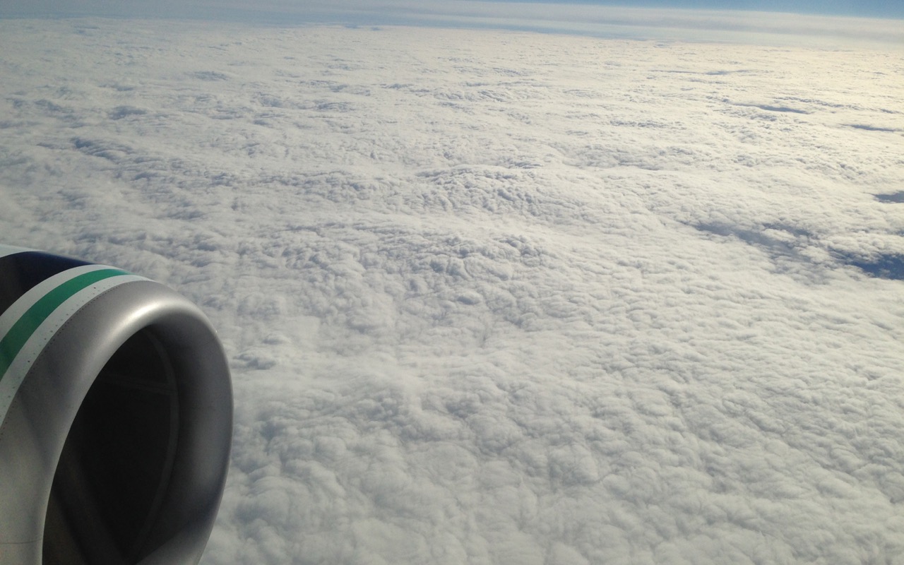
2015-06-13-iPh-2784a.jpg

Glimpse of winter
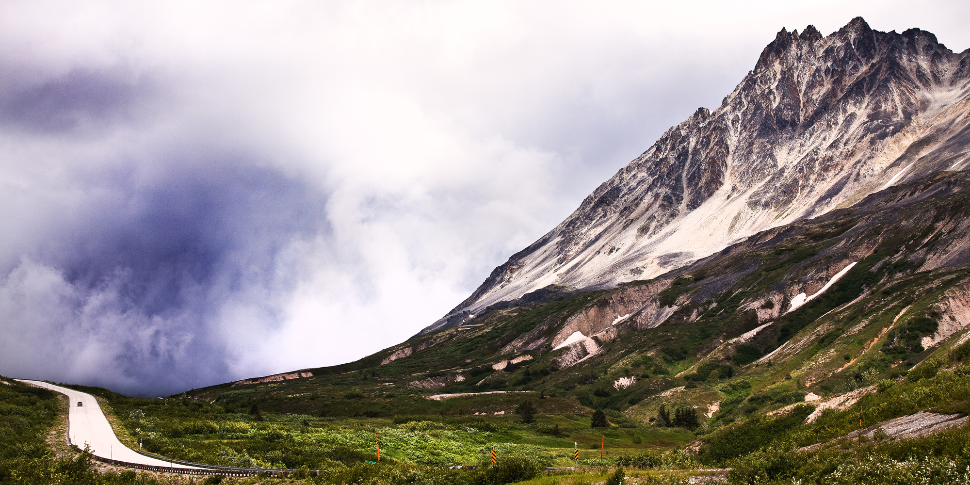
Chilkat Pass 1070m on the Alaska/ Canada Border
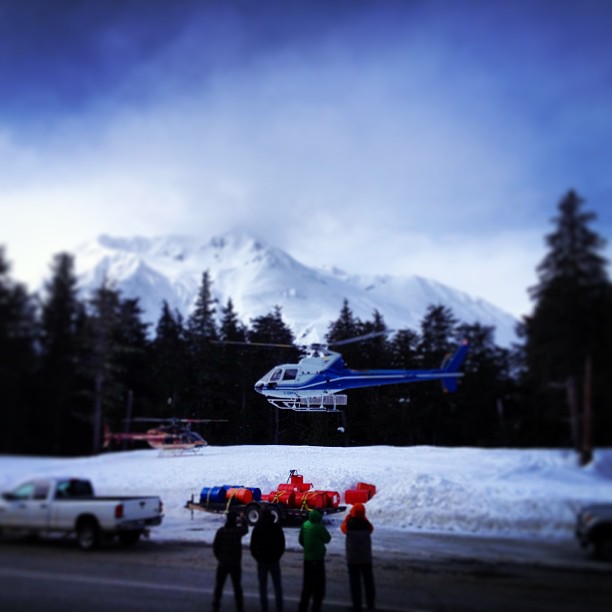
Black ops base camp with @travisrobbfilms @danaflahr Rob and yvon.
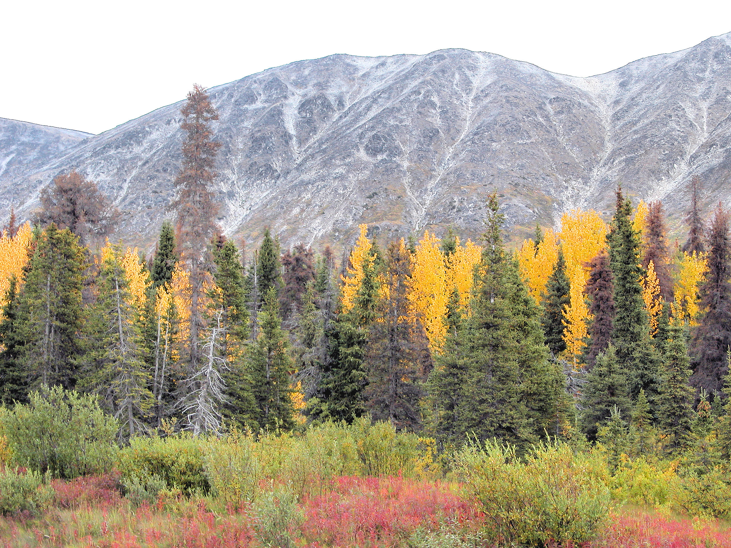
Fall Colors On The Haines Highway 10
Mount Bigger, Stikine Region, BC V0W, Canada Map
Search another place
Near Places
Buckwell Peak, Stikine Region, BC V0W, Canada
Buckwell N2, Stikine Region, BC V0W, Canada
Mount Henry Clay, Mt Henry Clay, United States
Tkope Peak, Stikine Region, BC V0W, Canada
Samuel Peak, Stikine Region, BC V0W, Canada
Kusawak Peak, Stikine Region, BC V0W, Canada
Mount Parton, Stikine Region, BC V0W, Canada
Mount Barnard, Mt Barnard, Alaska, USA
Mount Kelsall, Stikine Region, BC V0W, Canada
Basement SE3, Stikine Region, BC V0W, Canada
Towagh SE3, Stikine Region, BC V0W, Canada
Basement N2, Stikine Region, BC V0W, Canada
Basement Peak, Stikine Region, BC V0W, Canada
Towagh Peak, Stikine Region, BC V0W, Canada
Basement NW2, Stikine Region, BC V0W, Canada
Tomahnous Peak, Stikine Region, BC V0W, Canada
Towagh W2, Stikine Region, BC V0W, Canada
Low Fog Peak, Stikine Region, BC V0W, Canada
Haines Peak, Yukon, Unorganized, YT Y0B, Canada
Mount Beaton, Yukon, Unorganized, YT Y0B, Canada
Recent Searches
- Sunrise Sunset Times of W Prive Cir, Delray Beach, FL, USA
- Sunrise Sunset Times of S Layton Cir W, Layton, UT, USA
- Sunrise Sunset Times of Fairland Ave, Fairhope, AL, USA
- Sunrise Sunset Times of Sunset Dr, Richmond, VA, USA
- Sunrise Sunset Times of View Villa Apartments Hurghada, Al Ahyaa, Mubarak 7, Villa nr 2 Hurghada, قسم ثان الغردقة، محافظة ال
- Sunrise Sunset Times of Grodna District, Hrodna Region, Belarus
- Sunrise Sunset Times of Hrodna, Hrodna Region, Belarus
- Sunrise Sunset Times of Vydrino, Irkutsk Oblast, Russia
- Sunrise Sunset Times of Worksop S81 8GA, UK
- Sunrise Sunset Times of Cabo de Cruz, Boiro, A Coruña, Spain