Sunrise Sunset Times of La Croix de Bauzon, Borne, France
Location: France > Ardeche > Borne >
Timezone:
Europe/Paris
Current Time:
2025-02-22 06:15:53
Longitude:
4.0944831
Latitude:
44.6358347
Sunrise Today:
07:31:56 AM
Sunset Today:
06:22:05 PM
Daylength Today:
10h 50m 9s
Sunrise Tomorrow:
07:30:18 AM
Sunset Tomorrow:
06:23:27 PM
Daylength Tomorrow:
10h 53m 9s
Year Show All Dates
| Date | Sunrise | Sunset | Daylength |
|---|---|---|---|
| 01/01/2025 | 08:20:28 AM | 05:14:33 PM | 8h 54m 5s |
| 01/02/2025 | 08:20:28 AM | 05:15:29 PM | 8h 55m 1s |
| 01/03/2025 | 08:20:25 AM | 05:16:27 PM | 8h 56m 2s |
| 01/04/2025 | 08:20:19 AM | 05:17:26 PM | 8h 57m 7s |
| 01/05/2025 | 08:20:11 AM | 05:18:27 PM | 8h 58m 16s |
| 01/06/2025 | 08:20:01 AM | 05:19:30 PM | 8h 59m 29s |
| 01/07/2025 | 08:19:47 AM | 05:20:35 PM | 9h 0m 48s |
| 01/08/2025 | 08:19:31 AM | 05:21:41 PM | 9h 2m 10s |
| 01/09/2025 | 08:19:13 AM | 05:22:49 PM | 9h 3m 36s |
| 01/10/2025 | 08:18:52 AM | 05:23:58 PM | 9h 5m 6s |
| 01/11/2025 | 08:18:29 AM | 05:25:08 PM | 9h 6m 39s |
| 01/12/2025 | 08:18:03 AM | 05:26:19 PM | 9h 8m 16s |
| 01/13/2025 | 08:17:35 AM | 05:27:32 PM | 9h 9m 57s |
| 01/14/2025 | 08:17:04 AM | 05:28:46 PM | 9h 11m 42s |
| 01/15/2025 | 08:16:31 AM | 05:30:01 PM | 9h 13m 30s |
| 01/16/2025 | 08:15:55 AM | 05:31:17 PM | 9h 15m 22s |
| 01/17/2025 | 08:15:17 AM | 05:32:34 PM | 9h 17m 17s |
| 01/18/2025 | 08:14:37 AM | 05:33:52 PM | 9h 19m 15s |
| 01/19/2025 | 08:13:54 AM | 05:35:10 PM | 9h 21m 16s |
| 01/20/2025 | 08:13:09 AM | 05:36:30 PM | 9h 23m 21s |
| 01/21/2025 | 08:12:22 AM | 05:37:50 PM | 9h 25m 28s |
| 01/22/2025 | 08:11:33 AM | 05:39:10 PM | 9h 27m 37s |
| 01/23/2025 | 08:10:42 AM | 05:40:32 PM | 9h 29m 50s |
| 01/24/2025 | 08:09:48 AM | 05:41:54 PM | 9h 32m 6s |
| 01/25/2025 | 08:08:52 AM | 05:43:16 PM | 9h 34m 24s |
| 01/26/2025 | 08:07:55 AM | 05:44:39 PM | 9h 36m 44s |
| 01/27/2025 | 08:06:55 AM | 05:46:02 PM | 9h 39m 7s |
| 01/28/2025 | 08:05:53 AM | 05:47:26 PM | 9h 41m 33s |
| 01/29/2025 | 08:04:50 AM | 05:48:50 PM | 9h 44m 0s |
| 01/30/2025 | 08:03:44 AM | 05:50:14 PM | 9h 46m 30s |
| 01/31/2025 | 08:02:37 AM | 05:51:39 PM | 9h 49m 2s |
| 02/01/2025 | 08:01:28 AM | 05:53:03 PM | 9h 51m 35s |
| 02/02/2025 | 08:00:17 AM | 05:54:28 PM | 9h 54m 11s |
| 02/03/2025 | 07:59:04 AM | 05:55:53 PM | 9h 56m 49s |
| 02/04/2025 | 07:57:50 AM | 05:57:18 PM | 9h 59m 28s |
| 02/05/2025 | 07:56:34 AM | 05:58:43 PM | 10h 2m 9s |
| 02/06/2025 | 07:55:16 AM | 06:00:08 PM | 10h 4m 52s |
| 02/07/2025 | 07:53:57 AM | 06:01:33 PM | 10h 7m 36s |
| 02/08/2025 | 07:52:36 AM | 06:02:58 PM | 10h 10m 22s |
| 02/09/2025 | 07:51:14 AM | 06:04:22 PM | 10h 13m 8s |
| 02/10/2025 | 07:49:50 AM | 06:05:47 PM | 10h 15m 57s |
| 02/11/2025 | 07:48:25 AM | 06:07:12 PM | 10h 18m 47s |
| 02/12/2025 | 07:46:59 AM | 06:08:36 PM | 10h 21m 37s |
| 02/13/2025 | 07:45:31 AM | 06:10:00 PM | 10h 24m 29s |
| 02/14/2025 | 07:44:02 AM | 06:11:25 PM | 10h 27m 23s |
| 02/15/2025 | 07:42:32 AM | 06:12:48 PM | 10h 30m 16s |
| 02/16/2025 | 07:41:00 AM | 06:14:12 PM | 10h 33m 12s |
| 02/17/2025 | 07:39:27 AM | 06:15:36 PM | 10h 36m 9s |
| 02/18/2025 | 07:37:54 AM | 06:16:59 PM | 10h 39m 5s |
| 02/19/2025 | 07:36:19 AM | 06:18:22 PM | 10h 42m 3s |
| 02/20/2025 | 07:34:43 AM | 06:19:45 PM | 10h 45m 2s |
| 02/21/2025 | 07:33:06 AM | 06:21:07 PM | 10h 48m 1s |
| 02/22/2025 | 07:31:28 AM | 06:22:29 PM | 10h 51m 1s |
| 02/23/2025 | 07:29:49 AM | 06:23:51 PM | 10h 54m 2s |
| 02/24/2025 | 07:28:09 AM | 06:25:13 PM | 10h 57m 4s |
| 02/25/2025 | 07:26:28 AM | 06:26:34 PM | 11h 0m 6s |
| 02/26/2025 | 07:24:47 AM | 06:27:55 PM | 11h 3m 8s |
| 02/27/2025 | 07:23:04 AM | 06:29:16 PM | 11h 6m 12s |
| 02/28/2025 | 07:21:21 AM | 06:30:37 PM | 11h 9m 16s |
| 03/01/2025 | 07:19:37 AM | 06:31:57 PM | 11h 12m 20s |
| 03/02/2025 | 07:17:53 AM | 06:33:17 PM | 11h 15m 24s |
| 03/03/2025 | 07:16:08 AM | 06:34:36 PM | 11h 18m 28s |
| 03/04/2025 | 07:14:22 AM | 06:35:56 PM | 11h 21m 34s |
| 03/05/2025 | 07:12:35 AM | 06:37:15 PM | 11h 24m 40s |
| 03/06/2025 | 07:10:48 AM | 06:38:34 PM | 11h 27m 46s |
| 03/07/2025 | 07:09:01 AM | 06:39:52 PM | 11h 30m 51s |
| 03/08/2025 | 07:07:13 AM | 06:41:11 PM | 11h 33m 58s |
| 03/09/2025 | 07:05:24 AM | 06:42:29 PM | 11h 37m 5s |
| 03/10/2025 | 07:03:36 AM | 06:43:47 PM | 11h 40m 11s |
| 03/11/2025 | 07:01:46 AM | 06:45:04 PM | 11h 43m 18s |
| 03/12/2025 | 06:59:57 AM | 06:46:22 PM | 11h 46m 25s |
| 03/13/2025 | 06:58:07 AM | 06:47:39 PM | 11h 49m 32s |
| 03/14/2025 | 06:56:16 AM | 06:48:56 PM | 11h 52m 40s |
| 03/15/2025 | 06:54:26 AM | 06:50:13 PM | 11h 55m 47s |
| 03/16/2025 | 06:52:35 AM | 06:51:29 PM | 11h 58m 54s |
| 03/17/2025 | 06:50:44 AM | 06:52:45 PM | 12h 2m 1s |
| 03/18/2025 | 06:48:53 AM | 06:54:02 PM | 12h 5m 9s |
| 03/19/2025 | 06:47:02 AM | 06:55:18 PM | 12h 8m 16s |
| 03/20/2025 | 06:45:10 AM | 06:56:34 PM | 12h 11m 24s |
| 03/21/2025 | 06:43:19 AM | 06:57:49 PM | 12h 14m 30s |
| 03/22/2025 | 06:41:27 AM | 06:59:05 PM | 12h 17m 38s |
| 03/23/2025 | 06:39:36 AM | 07:00:20 PM | 12h 20m 44s |
| 03/24/2025 | 06:37:44 AM | 07:01:36 PM | 12h 23m 52s |
| 03/25/2025 | 06:35:53 AM | 07:02:51 PM | 12h 26m 58s |
| 03/26/2025 | 06:34:01 AM | 07:04:06 PM | 12h 30m 5s |
| 03/27/2025 | 06:32:10 AM | 07:05:21 PM | 12h 33m 11s |
| 03/28/2025 | 06:30:19 AM | 07:06:36 PM | 12h 36m 17s |
| 03/29/2025 | 06:28:28 AM | 07:07:51 PM | 12h 39m 23s |
| 03/30/2025 | 07:26:42 AM | 08:09:03 PM | 12h 42m 21s |
| 03/31/2025 | 07:24:51 AM | 08:10:18 PM | 12h 45m 27s |
| 04/01/2025 | 07:23:01 AM | 08:11:33 PM | 12h 48m 32s |
| 04/02/2025 | 07:21:11 AM | 08:12:48 PM | 12h 51m 37s |
| 04/03/2025 | 07:19:21 AM | 08:14:02 PM | 12h 54m 41s |
| 04/04/2025 | 07:17:32 AM | 08:15:17 PM | 12h 57m 45s |
| 04/05/2025 | 07:15:43 AM | 08:16:32 PM | 13h 0m 49s |
| 04/06/2025 | 07:13:54 AM | 08:17:46 PM | 13h 3m 52s |
| 04/07/2025 | 07:12:06 AM | 08:19:01 PM | 13h 6m 55s |
| 04/08/2025 | 07:10:19 AM | 08:20:16 PM | 13h 9m 57s |
| 04/09/2025 | 07:08:31 AM | 08:21:30 PM | 13h 12m 59s |
| 04/10/2025 | 07:06:45 AM | 08:22:45 PM | 13h 16m 0s |
| 04/11/2025 | 07:04:59 AM | 08:23:59 PM | 13h 19m 0s |
| 04/12/2025 | 07:03:13 AM | 08:25:14 PM | 13h 22m 1s |
| 04/13/2025 | 07:01:29 AM | 08:26:29 PM | 13h 25m 0s |
| 04/14/2025 | 06:59:45 AM | 08:27:43 PM | 13h 27m 58s |
| 04/15/2025 | 06:58:01 AM | 08:28:58 PM | 13h 30m 57s |
| 04/16/2025 | 06:56:19 AM | 08:30:13 PM | 13h 33m 54s |
| 04/17/2025 | 06:54:37 AM | 08:31:27 PM | 13h 36m 50s |
| 04/18/2025 | 06:52:56 AM | 08:32:42 PM | 13h 39m 46s |
| 04/19/2025 | 06:51:16 AM | 08:33:56 PM | 13h 42m 40s |
| 04/20/2025 | 06:49:36 AM | 08:35:11 PM | 13h 45m 35s |
| 04/21/2025 | 06:47:58 AM | 08:36:25 PM | 13h 48m 27s |
| 04/22/2025 | 06:46:21 AM | 08:37:40 PM | 13h 51m 19s |
| 04/23/2025 | 06:44:44 AM | 08:38:54 PM | 13h 54m 10s |
| 04/24/2025 | 06:43:09 AM | 08:40:08 PM | 13h 56m 59s |
| 04/25/2025 | 06:41:34 AM | 08:41:23 PM | 13h 59m 49s |
| 04/26/2025 | 06:40:01 AM | 08:42:37 PM | 14h 2m 36s |
| 04/27/2025 | 06:38:29 AM | 08:43:51 PM | 14h 5m 22s |
| 04/28/2025 | 06:36:58 AM | 08:45:05 PM | 14h 8m 7s |
| 04/29/2025 | 06:35:28 AM | 08:46:18 PM | 14h 10m 50s |
| 04/30/2025 | 06:33:59 AM | 08:47:32 PM | 14h 13m 33s |
| 05/01/2025 | 06:32:32 AM | 08:48:45 PM | 14h 16m 13s |
| 05/02/2025 | 06:31:06 AM | 08:49:59 PM | 14h 18m 53s |
| 05/03/2025 | 06:29:41 AM | 08:51:11 PM | 14h 21m 30s |
| 05/04/2025 | 06:28:18 AM | 08:52:24 PM | 14h 24m 6s |
| 05/05/2025 | 06:26:56 AM | 08:53:36 PM | 14h 26m 40s |
| 05/06/2025 | 06:25:35 AM | 08:54:49 PM | 14h 29m 14s |
| 05/07/2025 | 06:24:16 AM | 08:56:00 PM | 14h 31m 44s |
| 05/08/2025 | 06:22:59 AM | 08:57:12 PM | 14h 34m 13s |
| 05/09/2025 | 06:21:43 AM | 08:58:22 PM | 14h 36m 39s |
| 05/10/2025 | 06:20:28 AM | 08:59:33 PM | 14h 39m 5s |
| 05/11/2025 | 06:19:15 AM | 09:00:43 PM | 14h 41m 28s |
| 05/12/2025 | 06:18:04 AM | 09:01:52 PM | 14h 43m 48s |
| 05/13/2025 | 06:16:55 AM | 09:03:01 PM | 14h 46m 6s |
| 05/14/2025 | 06:15:47 AM | 09:04:10 PM | 14h 48m 23s |
| 05/15/2025 | 06:14:41 AM | 09:05:17 PM | 14h 50m 36s |
| 05/16/2025 | 06:13:37 AM | 09:06:25 PM | 14h 52m 48s |
| 05/17/2025 | 06:12:35 AM | 09:07:31 PM | 14h 54m 56s |
| 05/18/2025 | 06:11:34 AM | 09:08:36 PM | 14h 57m 2s |
| 05/19/2025 | 06:10:36 AM | 09:09:41 PM | 14h 59m 5s |
| 05/20/2025 | 06:09:39 AM | 09:10:45 PM | 15h 1m 6s |
| 05/21/2025 | 06:08:45 AM | 09:11:48 PM | 15h 3m 3s |
| 05/22/2025 | 06:07:52 AM | 09:12:50 PM | 15h 4m 58s |
| 05/23/2025 | 06:07:01 AM | 09:13:52 PM | 15h 6m 51s |
| 05/24/2025 | 06:06:13 AM | 09:14:52 PM | 15h 8m 39s |
| 05/25/2025 | 06:05:26 AM | 09:15:51 PM | 15h 10m 25s |
| 05/26/2025 | 06:04:42 AM | 09:16:49 PM | 15h 12m 7s |
| 05/27/2025 | 06:03:59 AM | 09:17:45 PM | 15h 13m 46s |
| 05/28/2025 | 06:03:19 AM | 09:18:41 PM | 15h 15m 22s |
| 05/29/2025 | 06:02:41 AM | 09:19:35 PM | 15h 16m 54s |
| 05/30/2025 | 06:02:05 AM | 09:20:28 PM | 15h 18m 23s |
| 05/31/2025 | 06:01:31 AM | 09:21:20 PM | 15h 19m 49s |
| 06/01/2025 | 06:01:00 AM | 09:22:10 PM | 15h 21m 10s |
| 06/02/2025 | 06:00:31 AM | 09:22:58 PM | 15h 22m 27s |
| 06/03/2025 | 06:00:04 AM | 09:23:45 PM | 15h 23m 41s |
| 06/04/2025 | 05:59:39 AM | 09:24:31 PM | 15h 24m 52s |
| 06/05/2025 | 05:59:17 AM | 09:25:15 PM | 15h 25m 58s |
| 06/06/2025 | 05:58:56 AM | 09:25:57 PM | 15h 27m 1s |
| 06/07/2025 | 05:58:38 AM | 09:26:38 PM | 15h 28m 0s |
| 06/08/2025 | 05:58:23 AM | 09:27:16 PM | 15h 28m 53s |
| 06/09/2025 | 05:58:10 AM | 09:27:53 PM | 15h 29m 43s |
| 06/10/2025 | 05:57:59 AM | 09:28:29 PM | 15h 30m 30s |
| 06/11/2025 | 05:57:50 AM | 09:29:02 PM | 15h 31m 12s |
| 06/12/2025 | 05:57:44 AM | 09:29:33 PM | 15h 31m 49s |
| 06/13/2025 | 05:57:40 AM | 09:30:02 PM | 15h 32m 22s |
| 06/14/2025 | 05:57:38 AM | 09:30:30 PM | 15h 32m 52s |
| 06/15/2025 | 05:57:38 AM | 09:30:55 PM | 15h 33m 17s |
| 06/16/2025 | 05:57:41 AM | 09:31:18 PM | 15h 33m 37s |
| 06/17/2025 | 05:57:46 AM | 09:31:39 PM | 15h 33m 53s |
| 06/18/2025 | 05:57:53 AM | 09:31:58 PM | 15h 34m 5s |
| 06/19/2025 | 05:58:02 AM | 09:32:15 PM | 15h 34m 13s |
| 06/20/2025 | 05:58:14 AM | 09:32:30 PM | 15h 34m 16s |
| 06/21/2025 | 05:58:28 AM | 09:32:42 PM | 15h 34m 14s |
| 06/22/2025 | 05:58:43 AM | 09:32:52 PM | 15h 34m 9s |
| 06/23/2025 | 05:59:01 AM | 09:33:00 PM | 15h 33m 59s |
| 06/24/2025 | 05:59:21 AM | 09:33:06 PM | 15h 33m 45s |
| 06/25/2025 | 05:59:44 AM | 09:33:09 PM | 15h 33m 25s |
| 06/26/2025 | 06:00:08 AM | 09:33:10 PM | 15h 33m 2s |
| 06/27/2025 | 06:00:34 AM | 09:33:09 PM | 15h 32m 35s |
| 06/28/2025 | 06:01:02 AM | 09:33:05 PM | 15h 32m 3s |
| 06/29/2025 | 06:01:32 AM | 09:32:59 PM | 15h 31m 27s |
| 06/30/2025 | 06:02:04 AM | 09:32:51 PM | 15h 30m 47s |
| 07/01/2025 | 06:02:37 AM | 09:32:40 PM | 15h 30m 3s |
| 07/02/2025 | 06:03:13 AM | 09:32:27 PM | 15h 29m 14s |
| 07/03/2025 | 06:03:50 AM | 09:32:12 PM | 15h 28m 22s |
| 07/04/2025 | 06:04:29 AM | 09:31:54 PM | 15h 27m 25s |
| 07/05/2025 | 06:05:09 AM | 09:31:34 PM | 15h 26m 25s |
| 07/06/2025 | 06:05:51 AM | 09:31:12 PM | 15h 25m 21s |
| 07/07/2025 | 06:06:35 AM | 09:30:47 PM | 15h 24m 12s |
| 07/08/2025 | 06:07:20 AM | 09:30:20 PM | 15h 23m 0s |
| 07/09/2025 | 06:08:07 AM | 09:29:51 PM | 15h 21m 44s |
| 07/10/2025 | 06:08:55 AM | 09:29:20 PM | 15h 20m 25s |
| 07/11/2025 | 06:09:44 AM | 09:28:46 PM | 15h 19m 2s |
| 07/12/2025 | 06:10:35 AM | 09:28:10 PM | 15h 17m 35s |
| 07/13/2025 | 06:11:27 AM | 09:27:32 PM | 15h 16m 5s |
| 07/14/2025 | 06:12:20 AM | 09:26:51 PM | 15h 14m 31s |
| 07/15/2025 | 06:13:15 AM | 09:26:09 PM | 15h 12m 54s |
| 07/16/2025 | 06:14:10 AM | 09:25:24 PM | 15h 11m 14s |
| 07/17/2025 | 06:15:07 AM | 09:24:37 PM | 15h 9m 30s |
| 07/18/2025 | 06:16:04 AM | 09:23:48 PM | 15h 7m 44s |
| 07/19/2025 | 06:17:03 AM | 09:22:57 PM | 15h 5m 54s |
| 07/20/2025 | 06:18:02 AM | 09:22:04 PM | 15h 4m 2s |
| 07/21/2025 | 06:19:03 AM | 09:21:09 PM | 15h 2m 6s |
| 07/22/2025 | 06:20:04 AM | 09:20:12 PM | 15h 0m 8s |
| 07/23/2025 | 06:21:06 AM | 09:19:13 PM | 14h 58m 7s |
| 07/24/2025 | 06:22:09 AM | 09:18:12 PM | 14h 56m 3s |
| 07/25/2025 | 06:23:12 AM | 09:17:09 PM | 14h 53m 57s |
| 07/26/2025 | 06:24:16 AM | 09:16:05 PM | 14h 51m 49s |
| 07/27/2025 | 06:25:21 AM | 09:14:58 PM | 14h 49m 37s |
| 07/28/2025 | 06:26:26 AM | 09:13:50 PM | 14h 47m 24s |
| 07/29/2025 | 06:27:32 AM | 09:12:40 PM | 14h 45m 8s |
| 07/30/2025 | 06:28:38 AM | 09:11:28 PM | 14h 42m 50s |
| 07/31/2025 | 06:29:45 AM | 09:10:15 PM | 14h 40m 30s |
| 08/01/2025 | 06:30:52 AM | 09:09:00 PM | 14h 38m 8s |
| 08/02/2025 | 06:31:59 AM | 09:07:43 PM | 14h 35m 44s |
| 08/03/2025 | 06:33:07 AM | 09:06:25 PM | 14h 33m 18s |
| 08/04/2025 | 06:34:16 AM | 09:05:05 PM | 14h 30m 49s |
| 08/05/2025 | 06:35:24 AM | 09:03:44 PM | 14h 28m 20s |
| 08/06/2025 | 06:36:33 AM | 09:02:21 PM | 14h 25m 48s |
| 08/07/2025 | 06:37:42 AM | 09:00:57 PM | 14h 23m 15s |
| 08/08/2025 | 06:38:51 AM | 08:59:32 PM | 14h 20m 41s |
| 08/09/2025 | 06:40:01 AM | 08:58:05 PM | 14h 18m 4s |
| 08/10/2025 | 06:41:11 AM | 08:56:37 PM | 14h 15m 26s |
| 08/11/2025 | 06:42:20 AM | 08:55:07 PM | 14h 12m 47s |
| 08/12/2025 | 06:43:30 AM | 08:53:36 PM | 14h 10m 6s |
| 08/13/2025 | 06:44:40 AM | 08:52:04 PM | 14h 7m 24s |
| 08/14/2025 | 06:45:50 AM | 08:50:31 PM | 14h 4m 41s |
| 08/15/2025 | 06:47:01 AM | 08:48:57 PM | 14h 1m 56s |
| 08/16/2025 | 06:48:11 AM | 08:47:22 PM | 13h 59m 11s |
| 08/17/2025 | 06:49:21 AM | 08:45:45 PM | 13h 56m 24s |
| 08/18/2025 | 06:50:32 AM | 08:44:08 PM | 13h 53m 36s |
| 08/19/2025 | 06:51:42 AM | 08:42:29 PM | 13h 50m 47s |
| 08/20/2025 | 06:52:52 AM | 08:40:50 PM | 13h 47m 58s |
| 08/21/2025 | 06:54:03 AM | 08:39:10 PM | 13h 45m 7s |
| 08/22/2025 | 06:55:13 AM | 08:37:28 PM | 13h 42m 15s |
| 08/23/2025 | 06:56:23 AM | 08:35:46 PM | 13h 39m 23s |
| 08/24/2025 | 06:57:34 AM | 08:34:03 PM | 13h 36m 29s |
| 08/25/2025 | 06:58:44 AM | 08:32:19 PM | 13h 33m 35s |
| 08/26/2025 | 06:59:54 AM | 08:30:35 PM | 13h 30m 41s |
| 08/27/2025 | 07:01:05 AM | 08:28:50 PM | 13h 27m 45s |
| 08/28/2025 | 07:02:15 AM | 08:27:04 PM | 13h 24m 49s |
| 08/29/2025 | 07:03:25 AM | 08:25:17 PM | 13h 21m 52s |
| 08/30/2025 | 07:04:35 AM | 08:23:30 PM | 13h 18m 55s |
| 08/31/2025 | 07:05:46 AM | 08:21:42 PM | 13h 15m 56s |
| 09/01/2025 | 07:06:56 AM | 08:19:53 PM | 13h 12m 57s |
| 09/02/2025 | 07:08:06 AM | 08:18:05 PM | 13h 9m 59s |
| 09/03/2025 | 07:09:16 AM | 08:16:15 PM | 13h 6m 59s |
| 09/04/2025 | 07:10:26 AM | 08:14:25 PM | 13h 3m 59s |
| 09/05/2025 | 07:11:36 AM | 08:12:35 PM | 13h 0m 59s |
| 09/06/2025 | 07:12:46 AM | 08:10:44 PM | 12h 57m 58s |
| 09/07/2025 | 07:13:56 AM | 08:08:53 PM | 12h 54m 57s |
| 09/08/2025 | 07:15:06 AM | 08:07:01 PM | 12h 51m 55s |
| 09/09/2025 | 07:16:16 AM | 08:05:09 PM | 12h 48m 53s |
| 09/10/2025 | 07:17:27 AM | 08:03:17 PM | 12h 45m 50s |
| 09/11/2025 | 07:18:37 AM | 08:01:24 PM | 12h 42m 47s |
| 09/12/2025 | 07:19:47 AM | 07:59:32 PM | 12h 39m 45s |
| 09/13/2025 | 07:20:57 AM | 07:57:39 PM | 12h 36m 42s |
| 09/14/2025 | 07:22:07 AM | 07:55:46 PM | 12h 33m 39s |
| 09/15/2025 | 07:23:18 AM | 07:53:53 PM | 12h 30m 35s |
| 09/16/2025 | 07:24:28 AM | 07:51:59 PM | 12h 27m 31s |
| 09/17/2025 | 07:25:39 AM | 07:50:06 PM | 12h 24m 27s |
| 09/18/2025 | 07:26:49 AM | 07:48:13 PM | 12h 21m 24s |
| 09/19/2025 | 07:28:00 AM | 07:46:19 PM | 12h 18m 19s |
| 09/20/2025 | 07:29:11 AM | 07:44:26 PM | 12h 15m 15s |
| 09/21/2025 | 07:30:22 AM | 07:42:32 PM | 12h 12m 10s |
| 09/22/2025 | 07:31:33 AM | 07:40:39 PM | 12h 9m 6s |
| 09/23/2025 | 07:32:44 AM | 07:38:46 PM | 12h 6m 2s |
| 09/24/2025 | 07:33:55 AM | 07:36:53 PM | 12h 2m 58s |
| 09/25/2025 | 07:35:07 AM | 07:35:00 PM | 11h 59m 53s |
| 09/26/2025 | 07:36:18 AM | 07:33:07 PM | 11h 56m 49s |
| 09/27/2025 | 07:37:30 AM | 07:31:14 PM | 11h 53m 44s |
| 09/28/2025 | 07:38:42 AM | 07:29:22 PM | 11h 50m 40s |
| 09/29/2025 | 07:39:55 AM | 07:27:30 PM | 11h 47m 35s |
| 09/30/2025 | 07:41:07 AM | 07:25:38 PM | 11h 44m 31s |
| 10/01/2025 | 07:42:20 AM | 07:23:47 PM | 11h 41m 27s |
| 10/02/2025 | 07:43:33 AM | 07:21:56 PM | 11h 38m 23s |
| 10/03/2025 | 07:44:46 AM | 07:20:05 PM | 11h 35m 19s |
| 10/04/2025 | 07:46:00 AM | 07:18:15 PM | 11h 32m 15s |
| 10/05/2025 | 07:47:13 AM | 07:16:26 PM | 11h 29m 13s |
| 10/06/2025 | 07:48:28 AM | 07:14:36 PM | 11h 26m 8s |
| 10/07/2025 | 07:49:42 AM | 07:12:48 PM | 11h 23m 6s |
| 10/08/2025 | 07:50:56 AM | 07:11:00 PM | 11h 20m 4s |
| 10/09/2025 | 07:52:11 AM | 07:09:12 PM | 11h 17m 1s |
| 10/10/2025 | 07:53:26 AM | 07:07:26 PM | 11h 14m 0s |
| 10/11/2025 | 07:54:42 AM | 07:05:39 PM | 11h 10m 57s |
| 10/12/2025 | 07:55:58 AM | 07:03:54 PM | 11h 7m 56s |
| 10/13/2025 | 07:57:14 AM | 07:02:09 PM | 11h 4m 55s |
| 10/14/2025 | 07:58:30 AM | 07:00:25 PM | 11h 1m 55s |
| 10/15/2025 | 07:59:47 AM | 06:58:42 PM | 10h 58m 55s |
| 10/16/2025 | 08:01:04 AM | 06:57:00 PM | 10h 55m 56s |
| 10/17/2025 | 08:02:21 AM | 06:55:19 PM | 10h 52m 58s |
| 10/18/2025 | 08:03:39 AM | 06:53:38 PM | 10h 49m 59s |
| 10/19/2025 | 08:04:57 AM | 06:51:58 PM | 10h 47m 1s |
| 10/20/2025 | 08:06:15 AM | 06:50:20 PM | 10h 44m 5s |
| 10/21/2025 | 08:07:34 AM | 06:48:42 PM | 10h 41m 8s |
| 10/22/2025 | 08:08:52 AM | 06:47:06 PM | 10h 38m 14s |
| 10/23/2025 | 08:10:12 AM | 06:45:30 PM | 10h 35m 18s |
| 10/24/2025 | 08:11:31 AM | 06:43:56 PM | 10h 32m 25s |
| 10/25/2025 | 08:12:51 AM | 06:42:23 PM | 10h 29m 32s |
| 10/26/2025 | 07:14:14 AM | 05:40:47 PM | 10h 26m 33s |
| 10/27/2025 | 07:15:34 AM | 05:39:17 PM | 10h 23m 43s |
| 10/28/2025 | 07:16:54 AM | 05:37:48 PM | 10h 20m 54s |
| 10/29/2025 | 07:18:15 AM | 05:36:20 PM | 10h 18m 5s |
| 10/30/2025 | 07:19:35 AM | 05:34:53 PM | 10h 15m 18s |
| 10/31/2025 | 07:20:56 AM | 05:33:28 PM | 10h 12m 32s |
| 11/01/2025 | 07:22:17 AM | 05:32:04 PM | 10h 9m 47s |
| 11/02/2025 | 07:23:39 AM | 05:30:42 PM | 10h 7m 3s |
| 11/03/2025 | 07:25:00 AM | 05:29:21 PM | 10h 4m 21s |
| 11/04/2025 | 07:26:21 AM | 05:28:02 PM | 10h 1m 41s |
| 11/05/2025 | 07:27:43 AM | 05:26:45 PM | 9h 59m 2s |
| 11/06/2025 | 07:29:04 AM | 05:25:29 PM | 9h 56m 25s |
| 11/07/2025 | 07:30:25 AM | 05:24:14 PM | 9h 53m 49s |
| 11/08/2025 | 07:31:47 AM | 05:23:02 PM | 9h 51m 15s |
| 11/09/2025 | 07:33:08 AM | 05:21:51 PM | 9h 48m 43s |
| 11/10/2025 | 07:34:29 AM | 05:20:42 PM | 9h 46m 13s |
| 11/11/2025 | 07:35:50 AM | 05:19:35 PM | 9h 43m 45s |
| 11/12/2025 | 07:37:11 AM | 05:18:30 PM | 9h 41m 19s |
| 11/13/2025 | 07:38:32 AM | 05:17:27 PM | 9h 38m 55s |
| 11/14/2025 | 07:39:52 AM | 05:16:26 PM | 9h 36m 34s |
| 11/15/2025 | 07:41:12 AM | 05:15:27 PM | 9h 34m 15s |
| 11/16/2025 | 07:42:31 AM | 05:14:30 PM | 9h 31m 59s |
| 11/17/2025 | 07:43:51 AM | 05:13:35 PM | 9h 29m 44s |
| 11/18/2025 | 07:45:09 AM | 05:12:42 PM | 9h 27m 33s |
| 11/19/2025 | 07:46:27 AM | 05:11:51 PM | 9h 25m 24s |
| 11/20/2025 | 07:47:45 AM | 05:11:03 PM | 9h 23m 18s |
| 11/21/2025 | 07:49:02 AM | 05:10:16 PM | 9h 21m 14s |
| 11/22/2025 | 07:50:18 AM | 05:09:32 PM | 9h 19m 14s |
| 11/23/2025 | 07:51:34 AM | 05:08:51 PM | 9h 17m 17s |
| 11/24/2025 | 07:52:48 AM | 05:08:11 PM | 9h 15m 23s |
| 11/25/2025 | 07:54:02 AM | 05:07:34 PM | 9h 13m 32s |
| 11/26/2025 | 07:55:15 AM | 05:07:00 PM | 9h 11m 45s |
| 11/27/2025 | 07:56:27 AM | 05:06:27 PM | 9h 10m 0s |
| 11/28/2025 | 07:57:38 AM | 05:05:58 PM | 9h 8m 20s |
| 11/29/2025 | 07:58:48 AM | 05:05:31 PM | 9h 6m 43s |
| 11/30/2025 | 07:59:56 AM | 05:05:06 PM | 9h 5m 10s |
| 12/01/2025 | 08:01:04 AM | 05:04:44 PM | 9h 3m 40s |
| 12/02/2025 | 08:02:10 AM | 05:04:24 PM | 9h 2m 14s |
| 12/03/2025 | 08:03:14 AM | 05:04:07 PM | 9h 0m 53s |
| 12/04/2025 | 08:04:18 AM | 05:03:53 PM | 8h 59m 35s |
| 12/05/2025 | 08:05:20 AM | 05:03:41 PM | 8h 58m 21s |
| 12/06/2025 | 08:06:20 AM | 05:03:31 PM | 8h 57m 11s |
| 12/07/2025 | 08:07:18 AM | 05:03:25 PM | 8h 56m 7s |
| 12/08/2025 | 08:08:15 AM | 05:03:21 PM | 8h 55m 6s |
| 12/09/2025 | 08:09:11 AM | 05:03:19 PM | 8h 54m 8s |
| 12/10/2025 | 08:10:04 AM | 05:03:21 PM | 8h 53m 17s |
| 12/11/2025 | 08:10:56 AM | 05:03:25 PM | 8h 52m 29s |
| 12/12/2025 | 08:11:45 AM | 05:03:31 PM | 8h 51m 46s |
| 12/13/2025 | 08:12:33 AM | 05:03:40 PM | 8h 51m 7s |
| 12/14/2025 | 08:13:19 AM | 05:03:52 PM | 8h 50m 33s |
| 12/15/2025 | 08:14:02 AM | 05:04:06 PM | 8h 50m 4s |
| 12/16/2025 | 08:14:44 AM | 05:04:23 PM | 8h 49m 39s |
| 12/17/2025 | 08:15:23 AM | 05:04:42 PM | 8h 49m 19s |
| 12/18/2025 | 08:16:00 AM | 05:05:04 PM | 8h 49m 4s |
| 12/19/2025 | 08:16:35 AM | 05:05:29 PM | 8h 48m 54s |
| 12/20/2025 | 08:17:08 AM | 05:05:56 PM | 8h 48m 48s |
| 12/21/2025 | 08:17:38 AM | 05:06:25 PM | 8h 48m 47s |
| 12/22/2025 | 08:18:06 AM | 05:06:57 PM | 8h 48m 51s |
| 12/23/2025 | 08:18:31 AM | 05:07:31 PM | 8h 49m 0s |
| 12/24/2025 | 08:18:54 AM | 05:08:08 PM | 8h 49m 14s |
| 12/25/2025 | 08:19:15 AM | 05:08:47 PM | 8h 49m 32s |
| 12/26/2025 | 08:19:33 AM | 05:09:28 PM | 8h 49m 55s |
| 12/27/2025 | 08:19:48 AM | 05:10:11 PM | 8h 50m 23s |
| 12/28/2025 | 08:20:01 AM | 05:10:57 PM | 8h 50m 56s |
| 12/29/2025 | 08:20:12 AM | 05:11:44 PM | 8h 51m 32s |
| 12/30/2025 | 08:20:20 AM | 05:12:34 PM | 8h 52m 14s |
| 12/31/2025 | 08:20:25 AM | 05:13:26 PM | 8h 53m 1s |
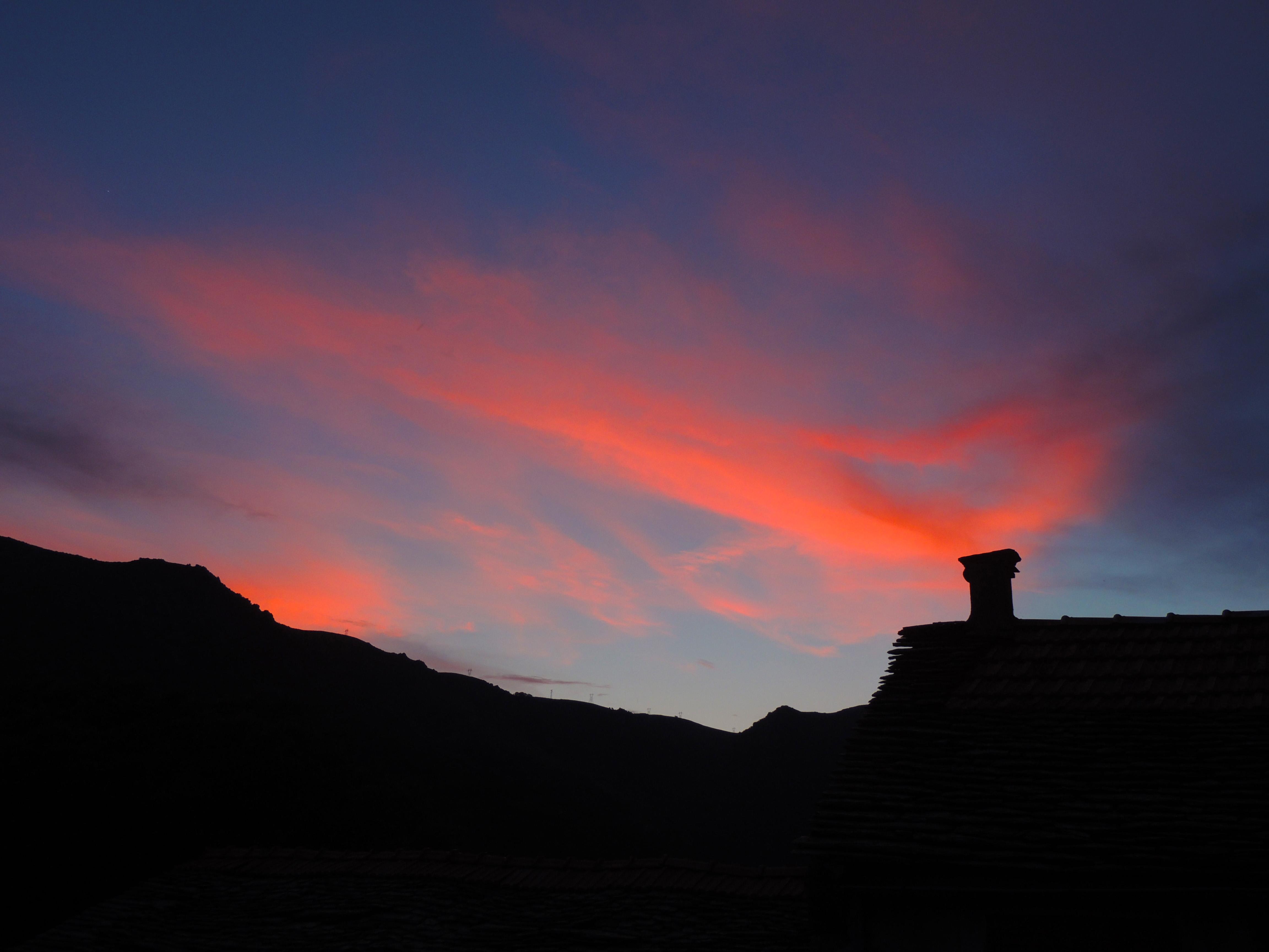
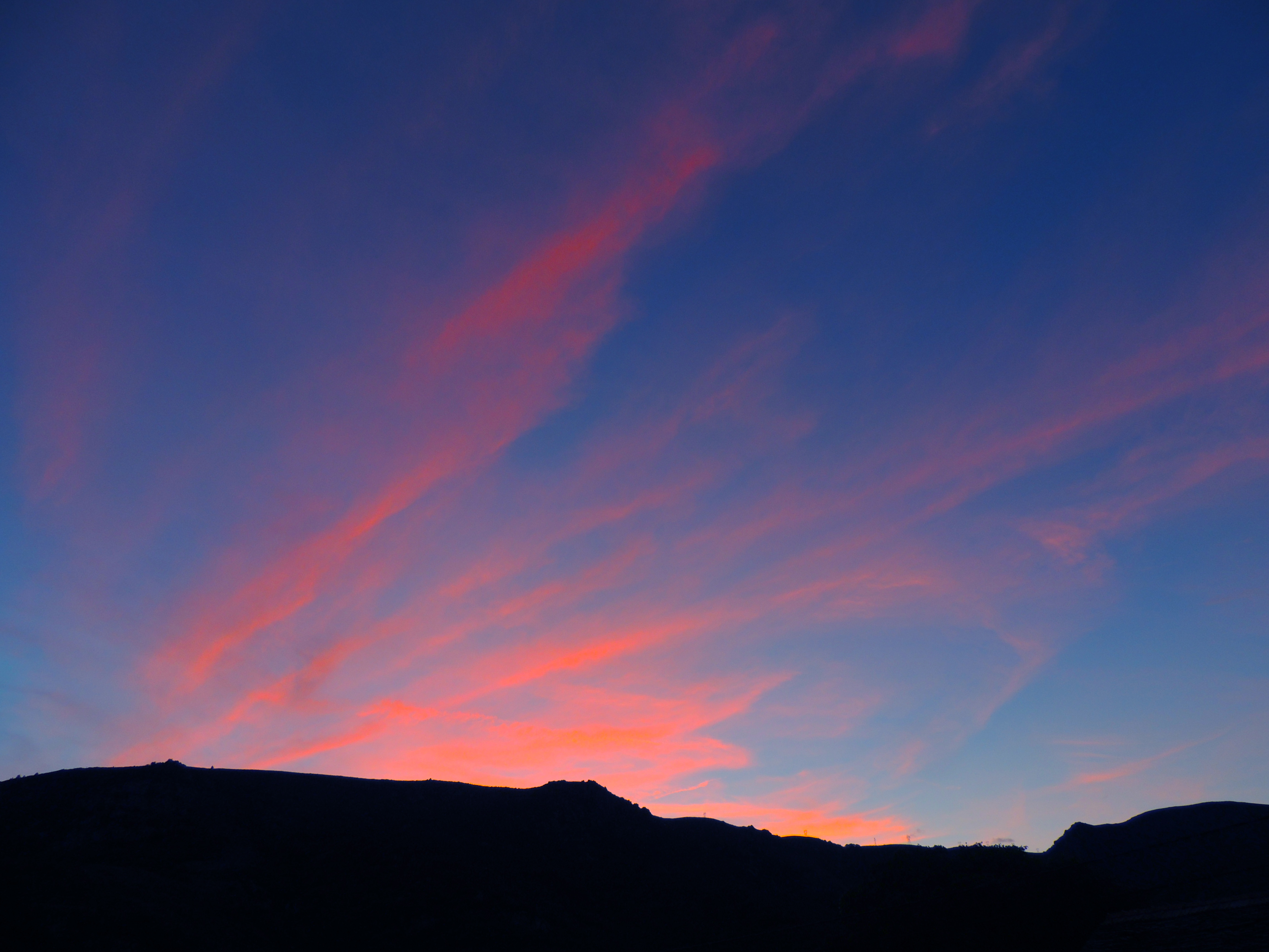
Sunrise & Sunset Photos

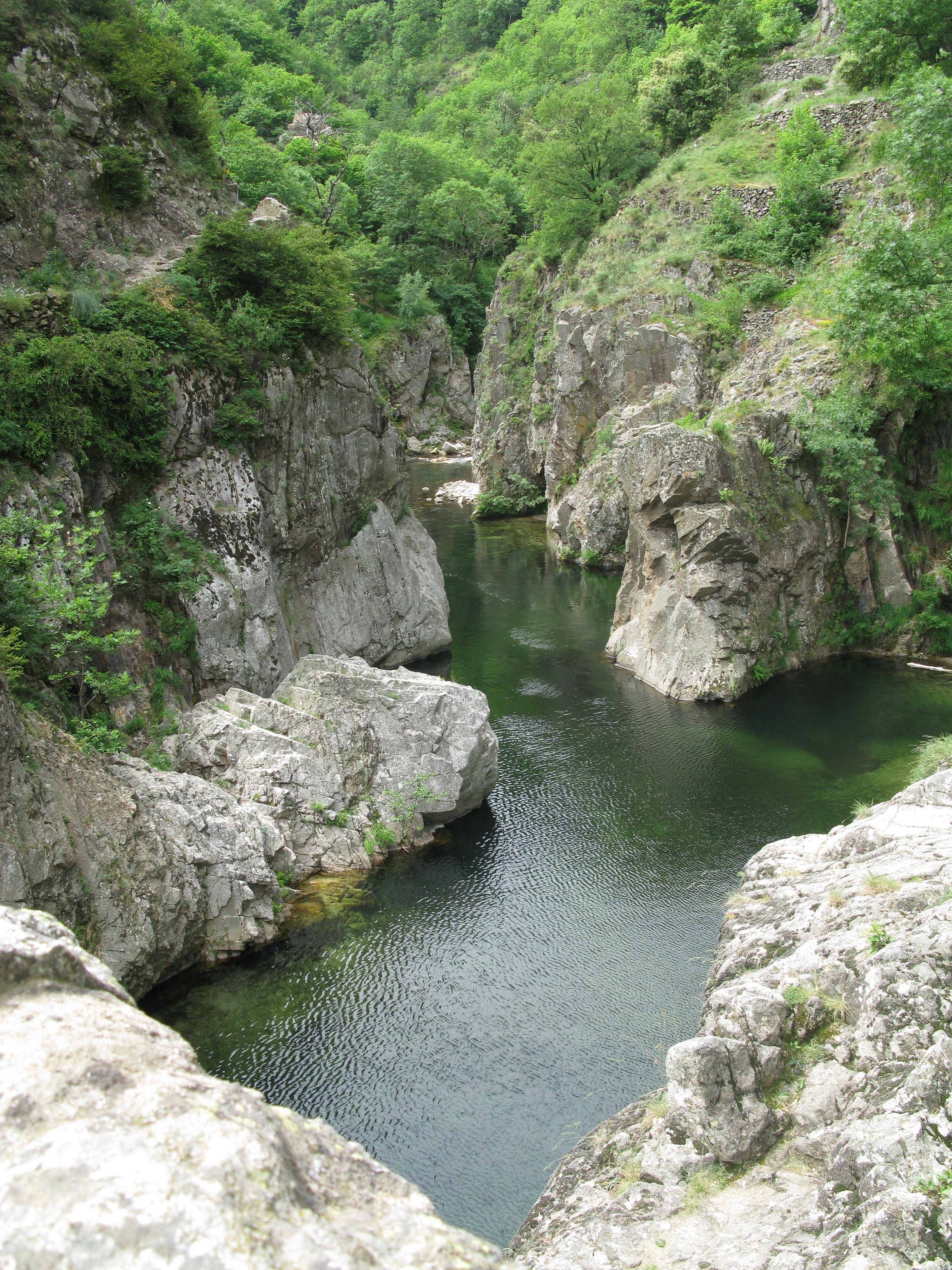
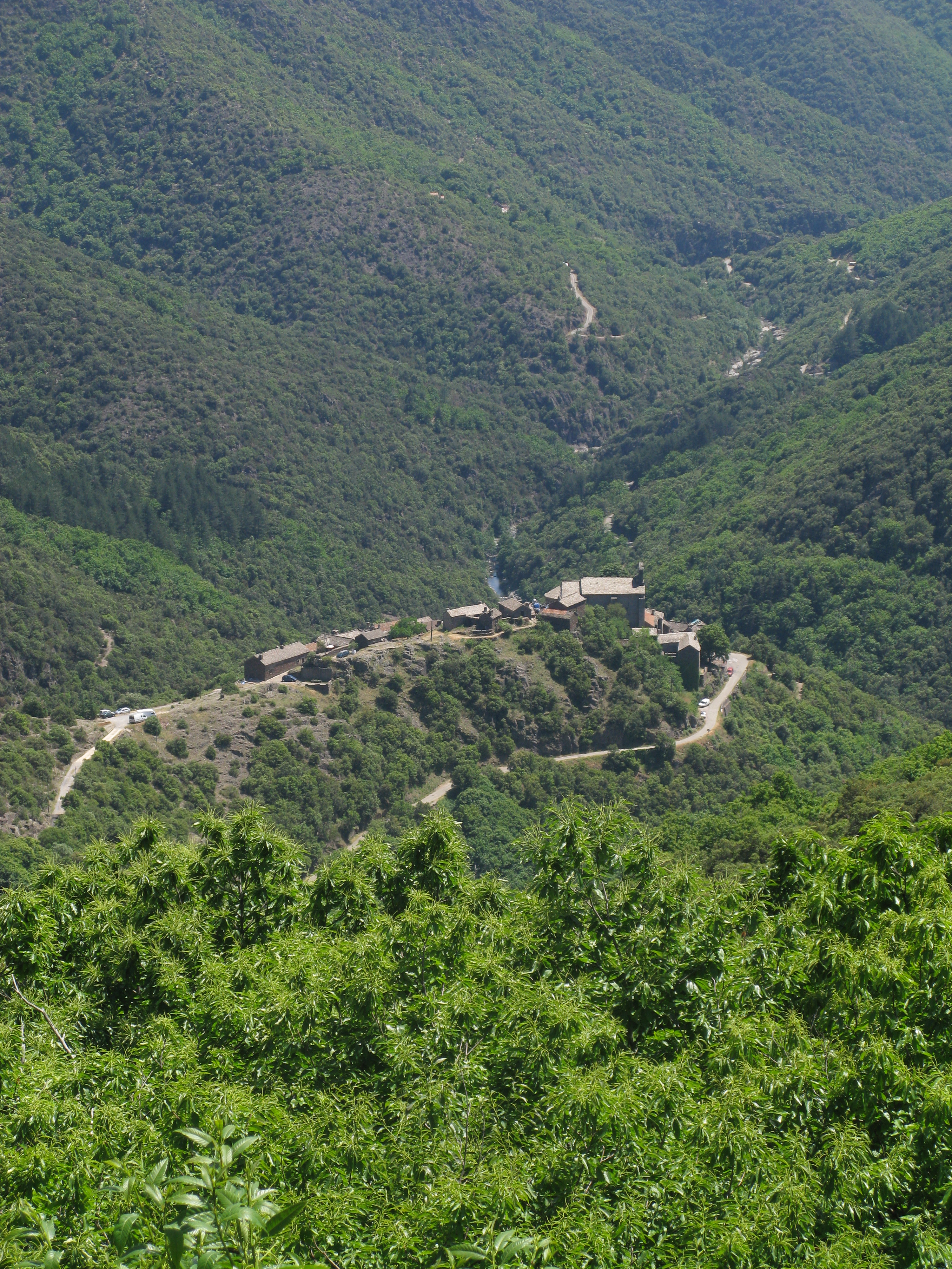
L'Ardèche river at Pont de Labeaume

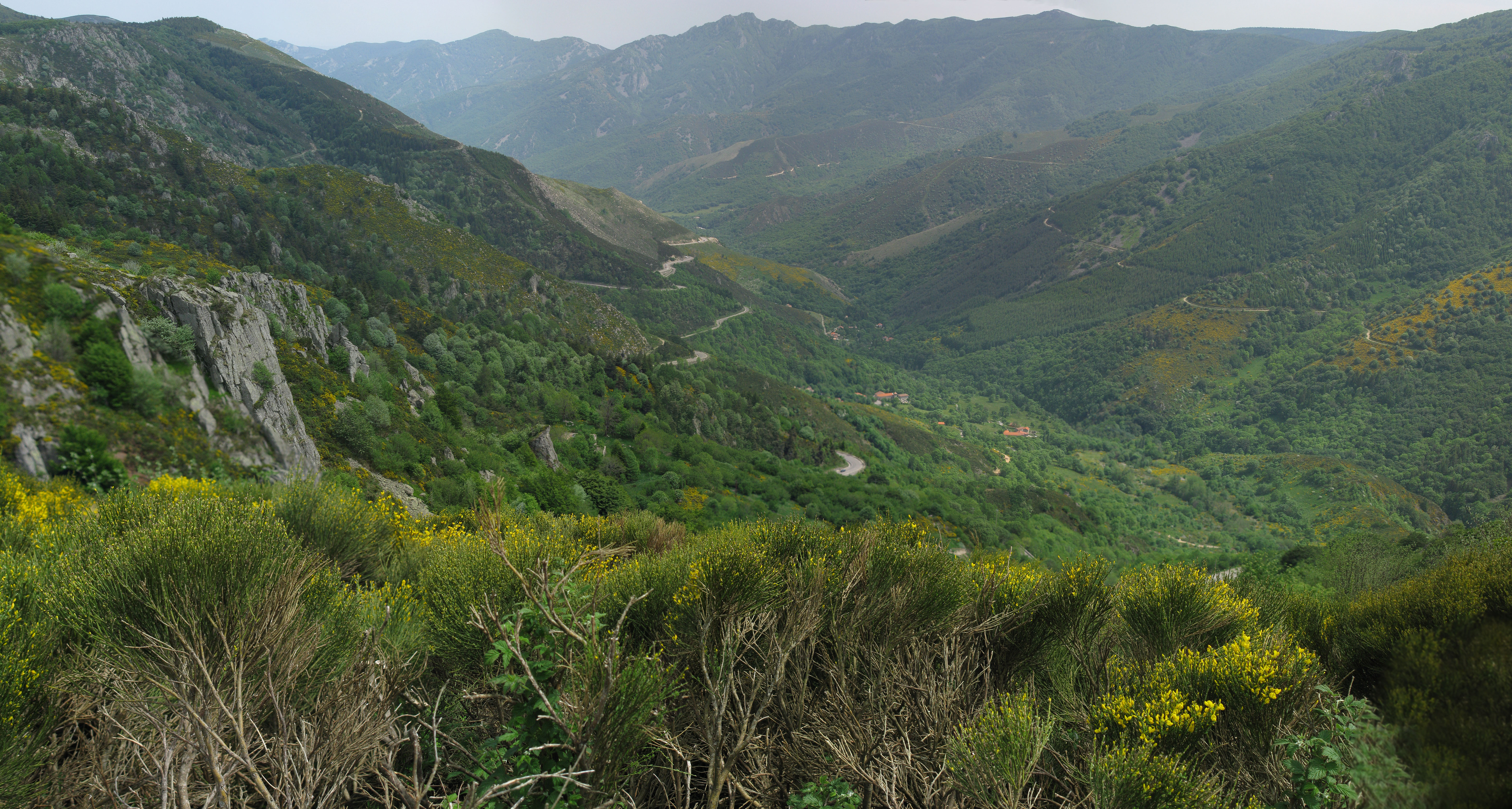
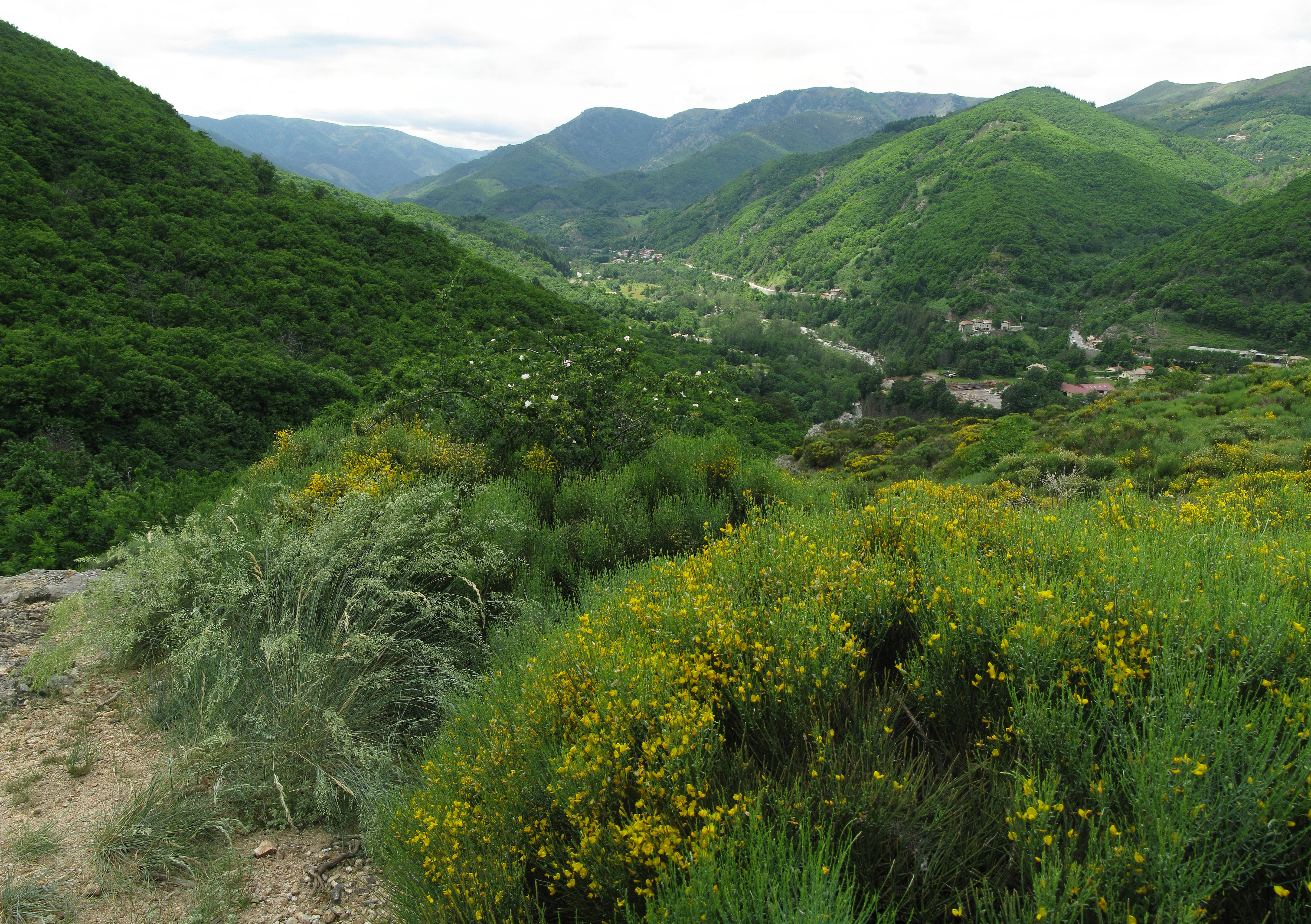
Ardèche valley
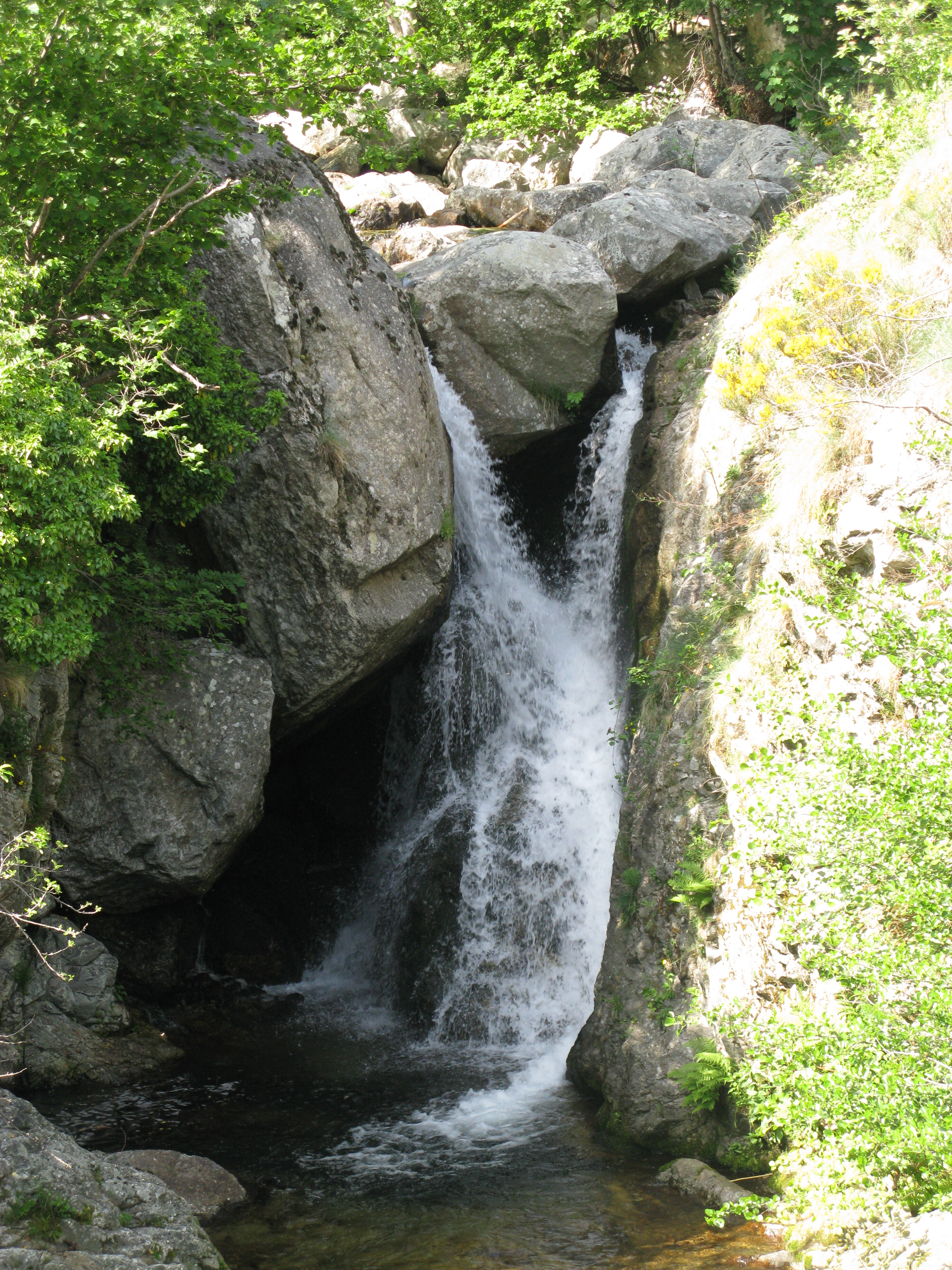
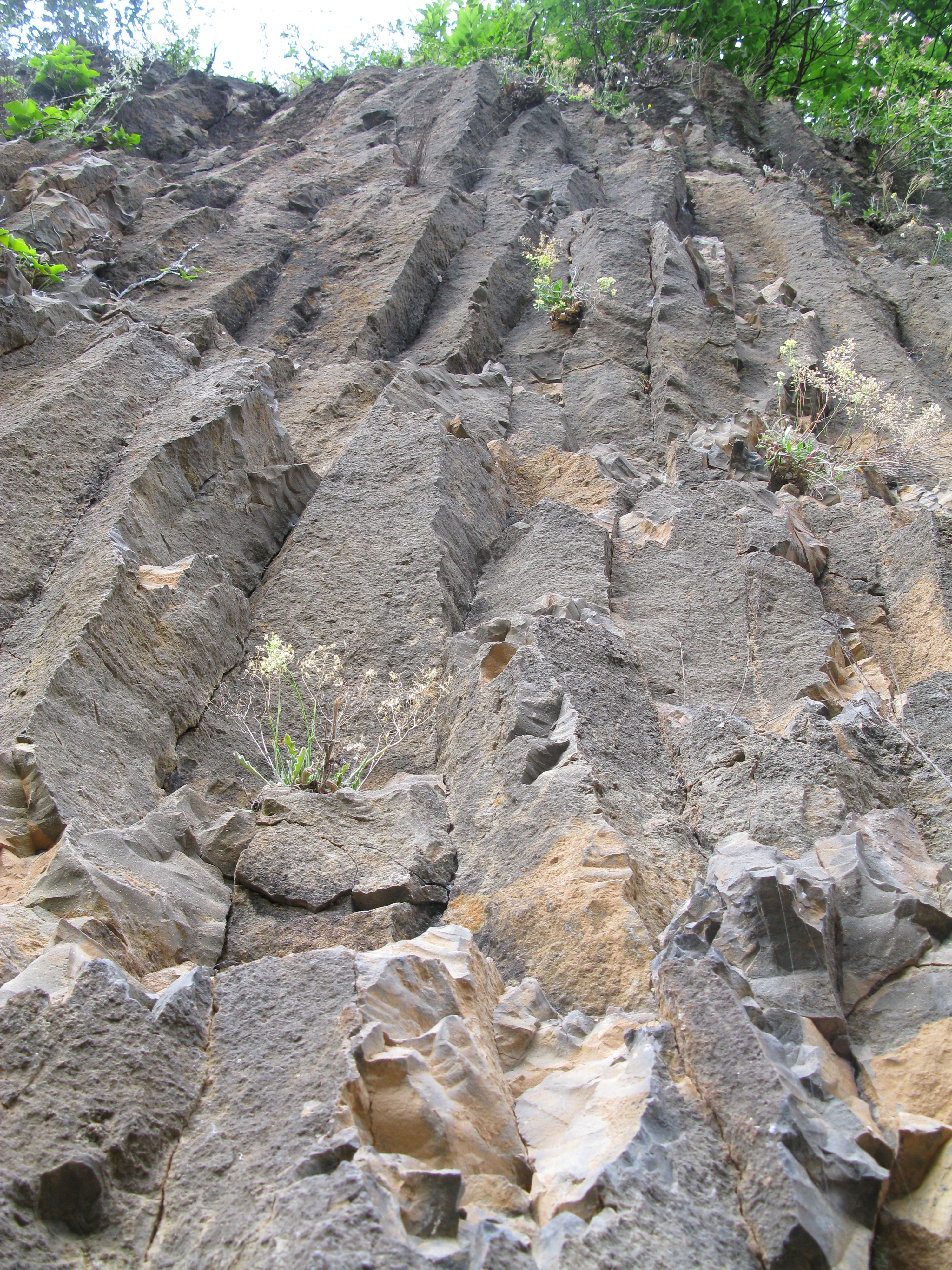
The hobbit
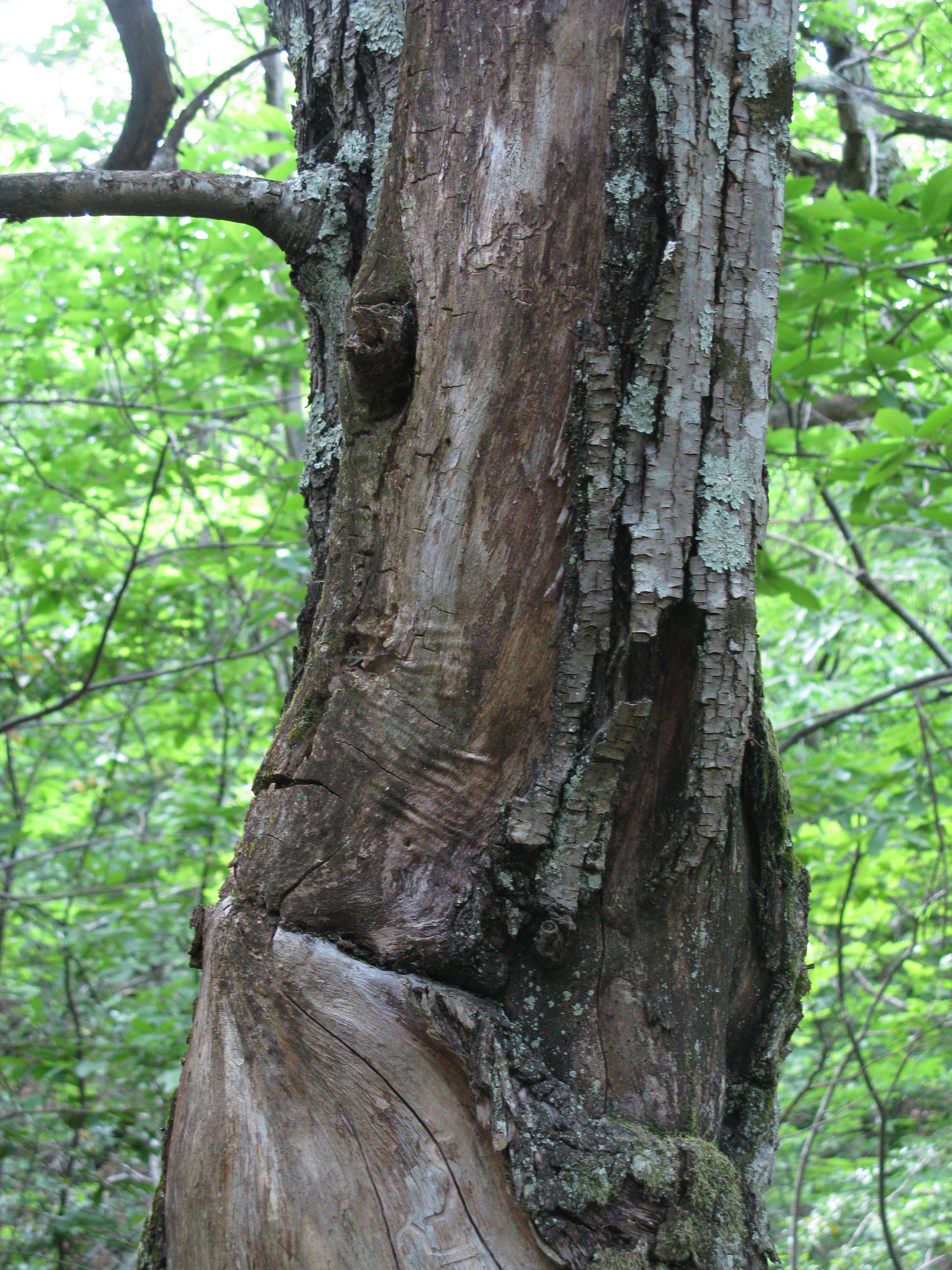
15-06-07 DSCN1043 psp
Traverses sunset

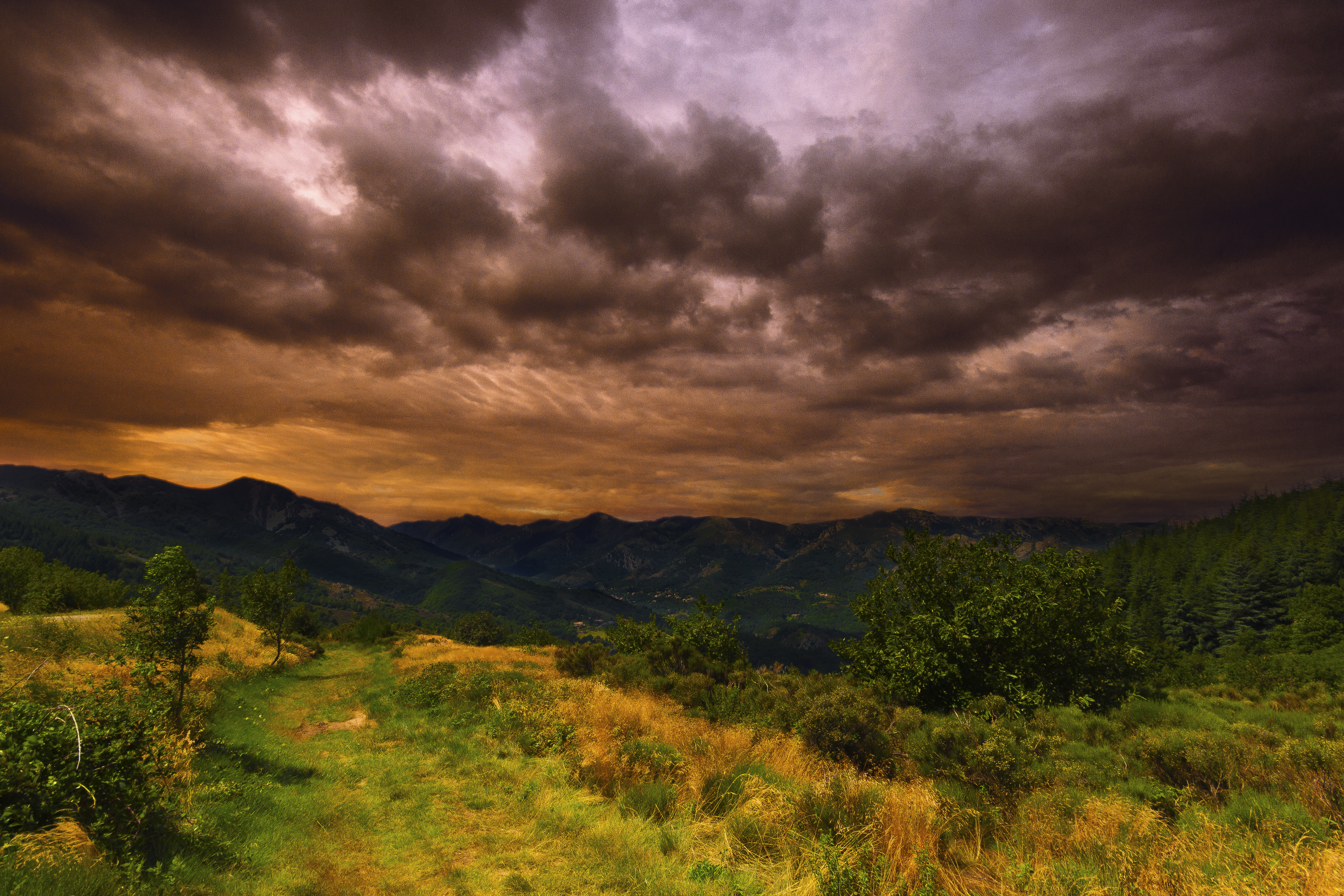
Lightning at Jaujac
MDM_2019_pano.jpg
MDM_2069.jpg
MDM_2052.jpg
MDM_2088.jpg
MDM_2075b.jpg
MDM_2091_pano.jpg
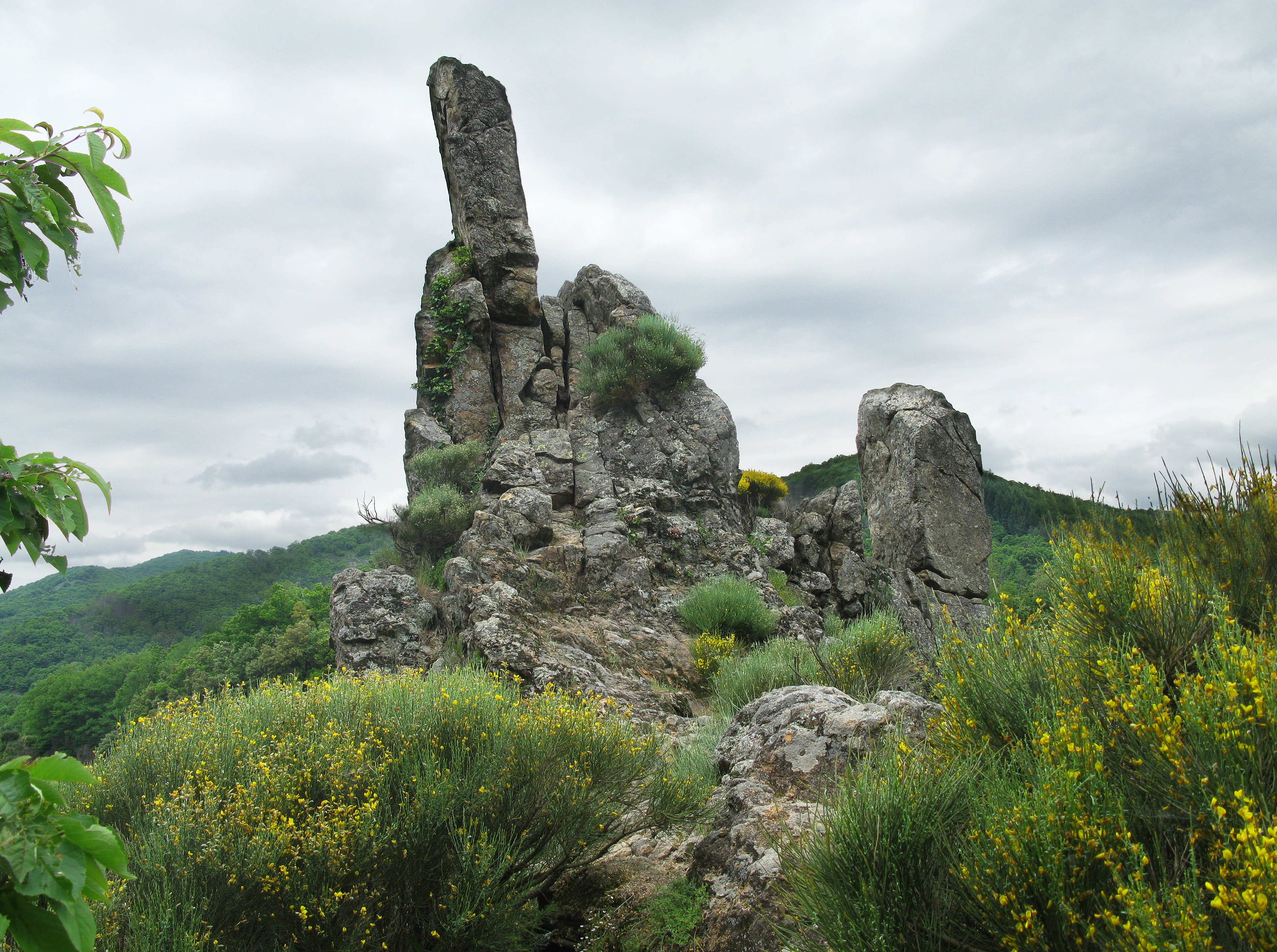
View from the Pratauberat Forest
View near La Bombine
View near La Bombine
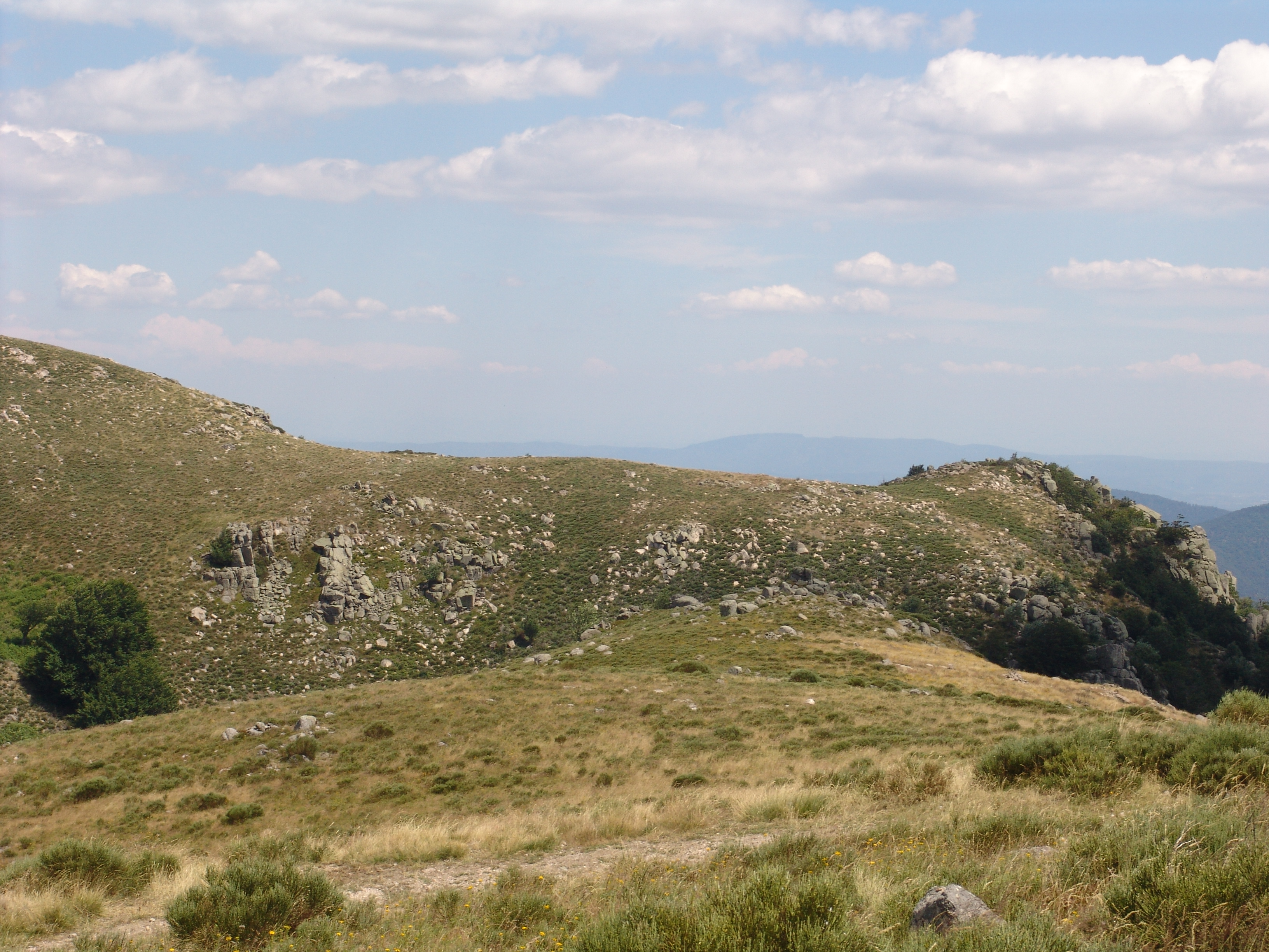
View in the Cevennes

View from the Roman Road
MDM_2463.jpg
MDM_2115.jpg
MDM_2103.jpg
La Croix de Bauzon, Borne, France Map
Search another place
Near Places
Borne, France
Sablières, France
1 La Jaujon, Lablachère, France
Lablachère, France
Prévenchères, France
Les Vans, France
12 Le Gras O, Les Vans, France
88 Avenue du Puy, Pradelles, France
Pradelles, France
Berrias-et-Casteljau, France
Alleyrac, France
Le Bourg, Alleyrac, France
Malbosc, France
Génolhac, France
Peyremale, France
20 Jean-Pierre Chabrol, Génolhac, France
Saint-Jean-la-Fouillouse, France
F Saint Jean, Saint-Jean-la-Fouillouse, France
Cussac-sur-Loire, France
Mont Lozère, Le Pont-de-Montvert, France
Recent Searches
- Sunrise Sunset Times of Red Dog Mine, AK, USA
- Sunrise Sunset Times of Am Bahnhof, Am bhf, Borken, Germany
- Sunrise Sunset Times of 4th St E, Sonoma, CA, USA
- Sunrise Sunset Times of Oakland Ave, Williamsport, PA, USA
- Sunrise Sunset Times of Via Roma, Pieranica CR, Italy
- Sunrise Sunset Times of Clock Tower of Dubrovnik, Grad, Dubrovnik, Croatia
- Sunrise Sunset Times of Trelew, Chubut Province, Argentina
- Sunrise Sunset Times of Hartfords Bluff Cir, Mt Pleasant, SC, USA
- Sunrise Sunset Times of Kita Ward, Kumamoto, Japan
- Sunrise Sunset Times of Pingtan Island, Pingtan County, Fuzhou, China