Sunrise Sunset Times of Kurihashi, Kuki, Saitama Prefecture -, Japan
Location: Japan > Saitama Prefecture > Kuki >
Timezone:
Asia/Tokyo
Current Time:
2024-04-27 03:16:27
Longitude:
139.707963
Latitude:
36.1219748
Sunrise Today:
04:52:22 AM
Sunset Today:
06:25:09 PM
Daylength Today:
13h 32m 47s
Sunrise Tomorrow:
04:51:13 AM
Sunset Tomorrow:
06:26:01 PM
Daylength Tomorrow:
13h 34m 48s
Year Show All Dates
| Date | Sunrise | Sunset | Daylength |
|---|---|---|---|
| 01/01/2024 | 06:51:52 AM | 04:36:52 PM | 9h 45m 0s |
| 01/02/2024 | 06:52:03 AM | 04:37:38 PM | 9h 45m 35s |
| 01/03/2024 | 06:52:11 AM | 04:38:25 PM | 9h 46m 14s |
| 01/04/2024 | 06:52:18 AM | 04:39:14 PM | 9h 46m 56s |
| 01/05/2024 | 06:52:23 AM | 04:40:03 PM | 9h 47m 40s |
| 01/06/2024 | 06:52:26 AM | 04:40:54 PM | 9h 48m 28s |
| 01/07/2024 | 06:52:27 AM | 04:41:46 PM | 9h 49m 19s |
| 01/08/2024 | 06:52:26 AM | 04:42:39 PM | 9h 50m 13s |
| 01/09/2024 | 06:52:23 AM | 04:43:32 PM | 9h 51m 9s |
| 01/10/2024 | 06:52:18 AM | 04:44:27 PM | 9h 52m 9s |
| 01/11/2024 | 06:52:11 AM | 04:45:23 PM | 9h 53m 12s |
| 01/12/2024 | 06:52:02 AM | 04:46:19 PM | 9h 54m 17s |
| 01/13/2024 | 06:51:51 AM | 04:47:16 PM | 9h 55m 25s |
| 01/14/2024 | 06:51:38 AM | 04:48:14 PM | 9h 56m 36s |
| 01/15/2024 | 06:51:23 AM | 04:49:13 PM | 9h 57m 50s |
| 01/16/2024 | 06:51:06 AM | 04:50:12 PM | 9h 59m 6s |
| 01/17/2024 | 06:50:47 AM | 04:51:12 PM | 10h 0m 25s |
| 01/18/2024 | 06:50:27 AM | 04:52:12 PM | 10h 1m 45s |
| 01/19/2024 | 06:50:04 AM | 04:53:13 PM | 10h 3m 9s |
| 01/20/2024 | 06:49:39 AM | 04:54:14 PM | 10h 4m 35s |
| 01/21/2024 | 06:49:13 AM | 04:55:16 PM | 10h 6m 3s |
| 01/22/2024 | 06:48:45 AM | 04:56:18 PM | 10h 7m 33s |
| 01/23/2024 | 06:48:15 AM | 04:57:20 PM | 10h 9m 5s |
| 01/24/2024 | 06:47:43 AM | 04:58:23 PM | 10h 10m 40s |
| 01/25/2024 | 06:47:09 AM | 04:59:25 PM | 10h 12m 16s |
| 01/26/2024 | 06:46:34 AM | 05:00:28 PM | 10h 13m 54s |
| 01/27/2024 | 06:45:56 AM | 05:01:32 PM | 10h 15m 36s |
| 01/28/2024 | 06:45:17 AM | 05:02:35 PM | 10h 17m 18s |
| 01/29/2024 | 06:44:37 AM | 05:03:38 PM | 10h 19m 1s |
| 01/30/2024 | 06:43:54 AM | 05:04:42 PM | 10h 20m 48s |
| 01/31/2024 | 06:43:10 AM | 05:05:45 PM | 10h 22m 35s |
| 02/01/2024 | 06:42:25 AM | 05:06:49 PM | 10h 24m 24s |
| 02/02/2024 | 06:41:38 AM | 05:07:52 PM | 10h 26m 14s |
| 02/03/2024 | 06:40:49 AM | 05:08:55 PM | 10h 28m 6s |
| 02/04/2024 | 06:39:58 AM | 05:09:59 PM | 10h 30m 1s |
| 02/05/2024 | 06:39:07 AM | 05:11:02 PM | 10h 31m 55s |
| 02/06/2024 | 06:38:13 AM | 05:12:05 PM | 10h 33m 52s |
| 02/07/2024 | 06:37:19 AM | 05:13:08 PM | 10h 35m 49s |
| 02/08/2024 | 06:36:22 AM | 05:14:10 PM | 10h 37m 48s |
| 02/09/2024 | 06:35:25 AM | 05:15:13 PM | 10h 39m 48s |
| 02/10/2024 | 06:34:26 AM | 05:16:15 PM | 10h 41m 49s |
| 02/11/2024 | 06:33:26 AM | 05:17:17 PM | 10h 43m 51s |
| 02/12/2024 | 06:32:24 AM | 05:18:19 PM | 10h 45m 55s |
| 02/13/2024 | 06:31:21 AM | 05:19:20 PM | 10h 47m 59s |
| 02/14/2024 | 06:30:17 AM | 05:20:22 PM | 10h 50m 5s |
| 02/15/2024 | 06:29:12 AM | 05:21:23 PM | 10h 52m 11s |
| 02/16/2024 | 06:28:06 AM | 05:22:23 PM | 10h 54m 17s |
| 02/17/2024 | 06:26:58 AM | 05:23:24 PM | 10h 56m 26s |
| 02/18/2024 | 06:25:50 AM | 05:24:24 PM | 10h 58m 34s |
| 02/19/2024 | 06:24:40 AM | 05:25:23 PM | 11h 0m 43s |
| 02/20/2024 | 06:23:29 AM | 05:26:23 PM | 11h 2m 54s |
| 02/21/2024 | 06:22:17 AM | 05:27:22 PM | 11h 5m 5s |
| 02/22/2024 | 06:21:05 AM | 05:28:21 PM | 11h 7m 16s |
| 02/23/2024 | 06:19:51 AM | 05:29:19 PM | 11h 9m 28s |
| 02/24/2024 | 06:18:37 AM | 05:30:17 PM | 11h 11m 40s |
| 02/25/2024 | 06:17:21 AM | 05:31:15 PM | 11h 13m 54s |
| 02/26/2024 | 06:16:05 AM | 05:32:12 PM | 11h 16m 7s |
| 02/27/2024 | 06:14:48 AM | 05:33:09 PM | 11h 18m 21s |
| 02/28/2024 | 06:13:30 AM | 05:34:06 PM | 11h 20m 36s |
| 02/29/2024 | 06:12:12 AM | 05:35:03 PM | 11h 22m 51s |
| 03/01/2024 | 06:10:52 AM | 05:35:59 PM | 11h 25m 7s |
| 03/02/2024 | 06:09:32 AM | 05:36:55 PM | 11h 27m 23s |
| 03/03/2024 | 06:08:12 AM | 05:37:50 PM | 11h 29m 38s |
| 03/04/2024 | 06:06:51 AM | 05:38:45 PM | 11h 31m 54s |
| 03/05/2024 | 06:05:29 AM | 05:39:40 PM | 11h 34m 11s |
| 03/06/2024 | 06:04:06 AM | 05:40:35 PM | 11h 36m 29s |
| 03/07/2024 | 06:02:43 AM | 05:41:29 PM | 11h 38m 46s |
| 03/08/2024 | 06:01:20 AM | 05:42:23 PM | 11h 41m 3s |
| 03/09/2024 | 05:59:56 AM | 05:43:17 PM | 11h 43m 21s |
| 03/10/2024 | 05:58:32 AM | 05:44:11 PM | 11h 45m 39s |
| 03/11/2024 | 05:57:07 AM | 05:45:04 PM | 11h 47m 57s |
| 03/12/2024 | 05:55:42 AM | 05:45:57 PM | 11h 50m 15s |
| 03/13/2024 | 05:54:17 AM | 05:46:50 PM | 11h 52m 33s |
| 03/14/2024 | 05:52:51 AM | 05:47:42 PM | 11h 54m 51s |
| 03/15/2024 | 05:51:25 AM | 05:48:35 PM | 11h 57m 10s |
| 03/16/2024 | 05:49:59 AM | 05:49:27 PM | 11h 59m 28s |
| 03/17/2024 | 05:48:33 AM | 05:50:19 PM | 12h 1m 46s |
| 03/18/2024 | 05:47:06 AM | 05:51:11 PM | 12h 4m 5s |
| 03/19/2024 | 05:45:39 AM | 05:52:02 PM | 12h 6m 23s |
| 03/20/2024 | 05:44:12 AM | 05:52:54 PM | 12h 8m 42s |
| 03/21/2024 | 05:42:45 AM | 05:53:45 PM | 12h 11m 0s |
| 03/22/2024 | 05:41:18 AM | 05:54:37 PM | 12h 13m 19s |
| 03/23/2024 | 05:39:51 AM | 05:55:28 PM | 12h 15m 37s |
| 03/24/2024 | 05:38:24 AM | 05:56:19 PM | 12h 17m 55s |
| 03/25/2024 | 05:36:57 AM | 05:57:10 PM | 12h 20m 13s |
| 03/26/2024 | 05:35:30 AM | 05:58:00 PM | 12h 22m 30s |
| 03/27/2024 | 05:34:03 AM | 05:58:51 PM | 12h 24m 48s |
| 03/28/2024 | 05:32:36 AM | 05:59:42 PM | 12h 27m 6s |
| 03/29/2024 | 05:31:09 AM | 06:00:33 PM | 12h 29m 24s |
| 03/30/2024 | 05:29:43 AM | 06:01:23 PM | 12h 31m 40s |
| 03/31/2024 | 05:28:16 AM | 06:02:14 PM | 12h 33m 58s |
| 04/01/2024 | 05:26:50 AM | 06:03:04 PM | 12h 36m 14s |
| 04/02/2024 | 05:25:24 AM | 06:03:55 PM | 12h 38m 31s |
| 04/03/2024 | 05:23:58 AM | 06:04:45 PM | 12h 40m 47s |
| 04/04/2024 | 05:22:33 AM | 06:05:36 PM | 12h 43m 3s |
| 04/05/2024 | 05:21:08 AM | 06:06:26 PM | 12h 45m 18s |
| 04/06/2024 | 05:19:44 AM | 06:07:17 PM | 12h 47m 33s |
| 04/07/2024 | 05:18:19 AM | 06:08:07 PM | 12h 49m 48s |
| 04/08/2024 | 05:16:56 AM | 06:08:58 PM | 12h 52m 2s |
| 04/09/2024 | 05:15:32 AM | 06:09:48 PM | 12h 54m 16s |
| 04/10/2024 | 05:14:10 AM | 06:10:39 PM | 12h 56m 29s |
| 04/11/2024 | 05:12:47 AM | 06:11:30 PM | 12h 58m 43s |
| 04/12/2024 | 05:11:26 AM | 06:12:20 PM | 13h 0m 54s |
| 04/13/2024 | 05:10:04 AM | 06:13:11 PM | 13h 3m 7s |
| 04/14/2024 | 05:08:44 AM | 06:14:02 PM | 13h 5m 18s |
| 04/15/2024 | 05:07:24 AM | 06:14:53 PM | 13h 7m 29s |
| 04/16/2024 | 05:06:05 AM | 06:15:44 PM | 13h 9m 39s |
| 04/17/2024 | 05:04:46 AM | 06:16:35 PM | 13h 11m 49s |
| 04/18/2024 | 05:03:28 AM | 06:17:26 PM | 13h 13m 58s |
| 04/19/2024 | 05:02:11 AM | 06:18:17 PM | 13h 16m 6s |
| 04/20/2024 | 05:00:55 AM | 06:19:08 PM | 13h 18m 13s |
| 04/21/2024 | 04:59:40 AM | 06:19:59 PM | 13h 20m 19s |
| 04/22/2024 | 04:58:25 AM | 06:20:51 PM | 13h 22m 26s |
| 04/23/2024 | 04:57:11 AM | 06:21:42 PM | 13h 24m 31s |
| 04/24/2024 | 04:55:58 AM | 06:22:33 PM | 13h 26m 35s |
| 04/25/2024 | 04:54:46 AM | 06:23:25 PM | 13h 28m 39s |
| 04/26/2024 | 04:53:35 AM | 06:24:16 PM | 13h 30m 41s |
| 04/27/2024 | 04:52:25 AM | 06:25:07 PM | 13h 32m 42s |
| 04/28/2024 | 04:51:16 AM | 06:25:59 PM | 13h 34m 43s |
| 04/29/2024 | 04:50:08 AM | 06:26:50 PM | 13h 36m 42s |
| 04/30/2024 | 04:49:02 AM | 06:27:41 PM | 13h 38m 39s |
| 05/01/2024 | 04:47:56 AM | 06:28:33 PM | 13h 40m 37s |
| 05/02/2024 | 04:46:51 AM | 06:29:24 PM | 13h 42m 33s |
| 05/03/2024 | 04:45:48 AM | 06:30:15 PM | 13h 44m 27s |
| 05/04/2024 | 04:44:45 AM | 06:31:06 PM | 13h 46m 21s |
| 05/05/2024 | 04:43:44 AM | 06:31:57 PM | 13h 48m 13s |
| 05/06/2024 | 04:42:44 AM | 06:32:48 PM | 13h 50m 4s |
| 05/07/2024 | 04:41:46 AM | 06:33:39 PM | 13h 51m 53s |
| 05/08/2024 | 04:40:48 AM | 06:34:30 PM | 13h 53m 42s |
| 05/09/2024 | 04:39:52 AM | 06:35:20 PM | 13h 55m 28s |
| 05/10/2024 | 04:38:58 AM | 06:36:10 PM | 13h 57m 12s |
| 05/11/2024 | 04:38:04 AM | 06:37:01 PM | 13h 58m 57s |
| 05/12/2024 | 04:37:12 AM | 06:37:50 PM | 14h 0m 38s |
| 05/13/2024 | 04:36:22 AM | 06:38:40 PM | 14h 2m 18s |
| 05/14/2024 | 04:35:33 AM | 06:39:29 PM | 14h 3m 56s |
| 05/15/2024 | 04:34:45 AM | 06:40:18 PM | 14h 5m 33s |
| 05/16/2024 | 04:33:59 AM | 06:41:07 PM | 14h 7m 8s |
| 05/17/2024 | 04:33:14 AM | 06:41:55 PM | 14h 8m 41s |
| 05/18/2024 | 04:32:31 AM | 06:42:43 PM | 14h 10m 12s |
| 05/19/2024 | 04:31:50 AM | 06:43:30 PM | 14h 11m 40s |
| 05/20/2024 | 04:31:10 AM | 06:44:17 PM | 14h 13m 7s |
| 05/21/2024 | 04:30:31 AM | 06:45:03 PM | 14h 14m 32s |
| 05/22/2024 | 04:29:54 AM | 06:45:49 PM | 14h 15m 55s |
| 05/23/2024 | 04:29:19 AM | 06:46:34 PM | 14h 17m 15s |
| 05/24/2024 | 04:28:45 AM | 06:47:19 PM | 14h 18m 34s |
| 05/25/2024 | 04:28:13 AM | 06:48:03 PM | 14h 19m 50s |
| 05/26/2024 | 04:27:43 AM | 06:48:47 PM | 14h 21m 4s |
| 05/27/2024 | 04:27:14 AM | 06:49:29 PM | 14h 22m 15s |
| 05/28/2024 | 04:26:47 AM | 06:50:11 PM | 14h 23m 24s |
| 05/29/2024 | 04:26:22 AM | 06:50:52 PM | 14h 24m 30s |
| 05/30/2024 | 04:25:58 AM | 06:51:33 PM | 14h 25m 35s |
| 05/31/2024 | 04:25:37 AM | 06:52:12 PM | 14h 26m 35s |
| 06/01/2024 | 04:25:16 AM | 06:52:51 PM | 14h 27m 35s |
| 06/02/2024 | 04:24:58 AM | 06:53:28 PM | 14h 28m 30s |
| 06/03/2024 | 04:24:41 AM | 06:54:05 PM | 14h 29m 24s |
| 06/04/2024 | 04:24:26 AM | 06:54:40 PM | 14h 30m 14s |
| 06/05/2024 | 04:24:12 AM | 06:55:15 PM | 14h 31m 3s |
| 06/06/2024 | 04:24:01 AM | 06:55:48 PM | 14h 31m 47s |
| 06/07/2024 | 04:23:51 AM | 06:56:21 PM | 14h 32m 30s |
| 06/08/2024 | 04:23:43 AM | 06:56:52 PM | 14h 33m 9s |
| 06/09/2024 | 04:23:36 AM | 06:57:22 PM | 14h 33m 46s |
| 06/10/2024 | 04:23:31 AM | 06:57:51 PM | 14h 34m 20s |
| 06/11/2024 | 04:23:28 AM | 06:58:19 PM | 14h 34m 51s |
| 06/12/2024 | 04:23:27 AM | 06:58:45 PM | 14h 35m 18s |
| 06/13/2024 | 04:23:27 AM | 06:59:10 PM | 14h 35m 43s |
| 06/14/2024 | 04:23:28 AM | 06:59:33 PM | 14h 36m 5s |
| 06/15/2024 | 04:23:32 AM | 06:59:55 PM | 14h 36m 23s |
| 06/16/2024 | 04:23:37 AM | 07:00:16 PM | 14h 36m 39s |
| 06/17/2024 | 04:23:44 AM | 07:00:36 PM | 14h 36m 52s |
| 06/18/2024 | 04:23:52 AM | 07:00:53 PM | 14h 37m 1s |
| 06/19/2024 | 04:24:02 AM | 07:01:10 PM | 14h 37m 8s |
| 06/20/2024 | 04:24:13 AM | 07:01:25 PM | 14h 37m 12s |
| 06/21/2024 | 04:24:26 AM | 07:01:38 PM | 14h 37m 12s |
| 06/22/2024 | 04:24:40 AM | 07:01:49 PM | 14h 37m 9s |
| 06/23/2024 | 04:24:56 AM | 07:02:00 PM | 14h 37m 4s |
| 06/24/2024 | 04:25:14 AM | 07:02:08 PM | 14h 36m 54s |
| 06/25/2024 | 04:25:32 AM | 07:02:15 PM | 14h 36m 43s |
| 06/26/2024 | 04:25:52 AM | 07:02:20 PM | 14h 36m 28s |
| 06/27/2024 | 04:26:14 AM | 07:02:23 PM | 14h 36m 9s |
| 06/28/2024 | 04:26:37 AM | 07:02:25 PM | 14h 35m 48s |
| 06/29/2024 | 04:27:01 AM | 07:02:25 PM | 14h 35m 24s |
| 06/30/2024 | 04:27:26 AM | 07:02:24 PM | 14h 34m 58s |
| 07/01/2024 | 04:27:53 AM | 07:02:20 PM | 14h 34m 27s |
| 07/02/2024 | 04:28:20 AM | 07:02:15 PM | 14h 33m 55s |
| 07/03/2024 | 04:28:49 AM | 07:02:09 PM | 14h 33m 20s |
| 07/04/2024 | 04:29:19 AM | 07:02:00 PM | 14h 32m 41s |
| 07/05/2024 | 04:29:50 AM | 07:01:50 PM | 14h 32m 0s |
| 07/06/2024 | 04:30:23 AM | 07:01:38 PM | 14h 31m 15s |
| 07/07/2024 | 04:30:56 AM | 07:01:24 PM | 14h 30m 28s |
| 07/08/2024 | 04:31:30 AM | 07:01:08 PM | 14h 29m 38s |
| 07/09/2024 | 04:32:05 AM | 07:00:51 PM | 14h 28m 46s |
| 07/10/2024 | 04:32:41 AM | 07:00:32 PM | 14h 27m 51s |
| 07/11/2024 | 04:33:18 AM | 07:00:11 PM | 14h 26m 53s |
| 07/12/2024 | 04:33:56 AM | 06:59:48 PM | 14h 25m 52s |
| 07/13/2024 | 04:34:34 AM | 06:59:24 PM | 14h 24m 50s |
| 07/14/2024 | 04:35:13 AM | 06:58:58 PM | 14h 23m 45s |
| 07/15/2024 | 04:35:53 AM | 06:58:30 PM | 14h 22m 37s |
| 07/16/2024 | 04:36:34 AM | 06:58:01 PM | 14h 21m 27s |
| 07/17/2024 | 04:37:15 AM | 06:57:30 PM | 14h 20m 15s |
| 07/18/2024 | 04:37:57 AM | 06:56:57 PM | 14h 19m 0s |
| 07/19/2024 | 04:38:40 AM | 06:56:22 PM | 14h 17m 42s |
| 07/20/2024 | 04:39:23 AM | 06:55:46 PM | 14h 16m 23s |
| 07/21/2024 | 04:40:06 AM | 06:55:08 PM | 14h 15m 2s |
| 07/22/2024 | 04:40:50 AM | 06:54:29 PM | 14h 13m 39s |
| 07/23/2024 | 04:41:35 AM | 06:53:48 PM | 14h 12m 13s |
| 07/24/2024 | 04:42:20 AM | 06:53:05 PM | 14h 10m 45s |
| 07/25/2024 | 04:43:05 AM | 06:52:21 PM | 14h 9m 16s |
| 07/26/2024 | 04:43:51 AM | 06:51:36 PM | 14h 7m 45s |
| 07/27/2024 | 04:44:37 AM | 06:50:48 PM | 14h 6m 11s |
| 07/28/2024 | 04:45:23 AM | 06:50:00 PM | 14h 4m 37s |
| 07/29/2024 | 04:46:09 AM | 06:49:09 PM | 14h 3m 0s |
| 07/30/2024 | 04:46:56 AM | 06:48:18 PM | 14h 1m 22s |
| 07/31/2024 | 04:47:43 AM | 06:47:25 PM | 13h 59m 42s |
| 08/01/2024 | 04:48:30 AM | 06:46:30 PM | 13h 58m 0s |
| 08/02/2024 | 04:49:18 AM | 06:45:34 PM | 13h 56m 16s |
| 08/03/2024 | 04:50:05 AM | 06:44:37 PM | 13h 54m 32s |
| 08/04/2024 | 04:50:53 AM | 06:43:39 PM | 13h 52m 46s |
| 08/05/2024 | 04:51:40 AM | 06:42:39 PM | 13h 50m 59s |
| 08/06/2024 | 04:52:28 AM | 06:41:38 PM | 13h 49m 10s |
| 08/07/2024 | 04:53:16 AM | 06:40:35 PM | 13h 47m 19s |
| 08/08/2024 | 04:54:04 AM | 06:39:32 PM | 13h 45m 28s |
| 08/09/2024 | 04:54:52 AM | 06:38:27 PM | 13h 43m 35s |
| 08/10/2024 | 04:55:40 AM | 06:37:21 PM | 13h 41m 41s |
| 08/11/2024 | 04:56:28 AM | 06:36:14 PM | 13h 39m 46s |
| 08/12/2024 | 04:57:16 AM | 06:35:05 PM | 13h 37m 49s |
| 08/13/2024 | 04:58:04 AM | 06:33:56 PM | 13h 35m 52s |
| 08/14/2024 | 04:58:51 AM | 06:32:46 PM | 13h 33m 55s |
| 08/15/2024 | 04:59:39 AM | 06:31:34 PM | 13h 31m 55s |
| 08/16/2024 | 05:00:27 AM | 06:30:22 PM | 13h 29m 55s |
| 08/17/2024 | 05:01:15 AM | 06:29:08 PM | 13h 27m 53s |
| 08/18/2024 | 05:02:03 AM | 06:27:54 PM | 13h 25m 51s |
| 08/19/2024 | 05:02:50 AM | 06:26:39 PM | 13h 23m 49s |
| 08/20/2024 | 05:03:38 AM | 06:25:22 PM | 13h 21m 44s |
| 08/21/2024 | 05:04:25 AM | 06:24:05 PM | 13h 19m 40s |
| 08/22/2024 | 05:05:13 AM | 06:22:48 PM | 13h 17m 35s |
| 08/23/2024 | 05:06:00 AM | 06:21:29 PM | 13h 15m 29s |
| 08/24/2024 | 05:06:47 AM | 06:20:09 PM | 13h 13m 22s |
| 08/25/2024 | 05:07:34 AM | 06:18:49 PM | 13h 11m 15s |
| 08/26/2024 | 05:08:21 AM | 06:17:28 PM | 13h 9m 7s |
| 08/27/2024 | 05:09:08 AM | 06:16:07 PM | 13h 6m 59s |
| 08/28/2024 | 05:09:55 AM | 06:14:44 PM | 13h 4m 49s |
| 08/29/2024 | 05:10:42 AM | 06:13:22 PM | 13h 2m 40s |
| 08/30/2024 | 05:11:28 AM | 06:11:58 PM | 13h 0m 30s |
| 08/31/2024 | 05:12:15 AM | 06:10:34 PM | 12h 58m 19s |
| 09/01/2024 | 05:13:02 AM | 06:09:10 PM | 12h 56m 8s |
| 09/02/2024 | 05:13:48 AM | 06:07:44 PM | 12h 53m 56s |
| 09/03/2024 | 05:14:34 AM | 06:06:19 PM | 12h 51m 45s |
| 09/04/2024 | 05:15:21 AM | 06:04:53 PM | 12h 49m 32s |
| 09/05/2024 | 05:16:07 AM | 06:03:26 PM | 12h 47m 19s |
| 09/06/2024 | 05:16:53 AM | 06:01:59 PM | 12h 45m 6s |
| 09/07/2024 | 05:17:40 AM | 06:00:32 PM | 12h 42m 52s |
| 09/08/2024 | 05:18:26 AM | 05:59:05 PM | 12h 40m 39s |
| 09/09/2024 | 05:19:12 AM | 05:57:37 PM | 12h 38m 25s |
| 09/10/2024 | 05:19:58 AM | 05:56:09 PM | 12h 36m 11s |
| 09/11/2024 | 05:20:44 AM | 05:54:40 PM | 12h 33m 56s |
| 09/12/2024 | 05:21:31 AM | 05:53:12 PM | 12h 31m 41s |
| 09/13/2024 | 05:22:17 AM | 05:51:43 PM | 12h 29m 26s |
| 09/14/2024 | 05:23:03 AM | 05:50:14 PM | 12h 27m 11s |
| 09/15/2024 | 05:23:49 AM | 05:48:45 PM | 12h 24m 56s |
| 09/16/2024 | 05:24:36 AM | 05:47:15 PM | 12h 22m 39s |
| 09/17/2024 | 05:25:22 AM | 05:45:46 PM | 12h 20m 24s |
| 09/18/2024 | 05:26:09 AM | 05:44:17 PM | 12h 18m 8s |
| 09/19/2024 | 05:26:55 AM | 05:42:47 PM | 12h 15m 52s |
| 09/20/2024 | 05:27:42 AM | 05:41:18 PM | 12h 13m 36s |
| 09/21/2024 | 05:28:29 AM | 05:39:48 PM | 12h 11m 19s |
| 09/22/2024 | 05:29:16 AM | 05:38:19 PM | 12h 9m 3s |
| 09/23/2024 | 05:30:03 AM | 05:36:50 PM | 12h 6m 47s |
| 09/24/2024 | 05:30:50 AM | 05:35:21 PM | 12h 4m 31s |
| 09/25/2024 | 05:31:38 AM | 05:33:52 PM | 12h 2m 14s |
| 09/26/2024 | 05:32:25 AM | 05:32:23 PM | 11h 59m 58s |
| 09/27/2024 | 05:33:13 AM | 05:30:54 PM | 11h 57m 41s |
| 09/28/2024 | 05:34:01 AM | 05:29:26 PM | 11h 55m 25s |
| 09/29/2024 | 05:34:49 AM | 05:27:58 PM | 11h 53m 9s |
| 09/30/2024 | 05:35:37 AM | 05:26:30 PM | 11h 50m 53s |
| 10/01/2024 | 05:36:26 AM | 05:25:03 PM | 11h 48m 37s |
| 10/02/2024 | 05:37:15 AM | 05:23:36 PM | 11h 46m 21s |
| 10/03/2024 | 05:38:04 AM | 05:22:09 PM | 11h 44m 5s |
| 10/04/2024 | 05:38:53 AM | 05:20:43 PM | 11h 41m 50s |
| 10/05/2024 | 05:39:43 AM | 05:19:17 PM | 11h 39m 34s |
| 10/06/2024 | 05:40:33 AM | 05:17:52 PM | 11h 37m 19s |
| 10/07/2024 | 05:41:23 AM | 05:16:27 PM | 11h 35m 4s |
| 10/08/2024 | 05:42:13 AM | 05:15:02 PM | 11h 32m 49s |
| 10/09/2024 | 05:43:04 AM | 05:13:39 PM | 11h 30m 35s |
| 10/10/2024 | 05:43:55 AM | 05:12:16 PM | 11h 28m 21s |
| 10/11/2024 | 05:44:47 AM | 05:10:53 PM | 11h 26m 6s |
| 10/12/2024 | 05:45:39 AM | 05:09:31 PM | 11h 23m 52s |
| 10/13/2024 | 05:46:31 AM | 05:08:10 PM | 11h 21m 39s |
| 10/14/2024 | 05:47:23 AM | 05:06:50 PM | 11h 19m 27s |
| 10/15/2024 | 05:48:16 AM | 05:05:30 PM | 11h 17m 14s |
| 10/16/2024 | 05:49:09 AM | 05:04:11 PM | 11h 15m 2s |
| 10/17/2024 | 05:50:03 AM | 05:02:53 PM | 11h 12m 50s |
| 10/18/2024 | 05:50:56 AM | 05:01:36 PM | 11h 10m 40s |
| 10/19/2024 | 05:51:51 AM | 05:00:19 PM | 11h 8m 28s |
| 10/20/2024 | 05:52:45 AM | 04:59:04 PM | 11h 6m 19s |
| 10/21/2024 | 05:53:40 AM | 04:57:49 PM | 11h 4m 9s |
| 10/22/2024 | 05:54:35 AM | 04:56:36 PM | 11h 2m 1s |
| 10/23/2024 | 05:55:31 AM | 04:55:23 PM | 10h 59m 52s |
| 10/24/2024 | 05:56:27 AM | 04:54:12 PM | 10h 57m 45s |
| 10/25/2024 | 05:57:23 AM | 04:53:02 PM | 10h 55m 39s |
| 10/26/2024 | 05:58:20 AM | 04:51:52 PM | 10h 53m 32s |
| 10/27/2024 | 05:59:17 AM | 04:50:44 PM | 10h 51m 27s |
| 10/28/2024 | 06:00:14 AM | 04:49:37 PM | 10h 49m 23s |
| 10/29/2024 | 06:01:12 AM | 04:48:31 PM | 10h 47m 19s |
| 10/30/2024 | 06:02:10 AM | 04:47:27 PM | 10h 45m 17s |
| 10/31/2024 | 06:03:08 AM | 04:46:24 PM | 10h 43m 16s |
| 11/01/2024 | 06:04:07 AM | 04:45:22 PM | 10h 41m 15s |
| 11/02/2024 | 06:05:05 AM | 04:44:21 PM | 10h 39m 16s |
| 11/03/2024 | 06:06:05 AM | 04:43:22 PM | 10h 37m 17s |
| 11/04/2024 | 06:07:04 AM | 04:42:24 PM | 10h 35m 20s |
| 11/05/2024 | 06:08:03 AM | 04:41:27 PM | 10h 33m 24s |
| 11/06/2024 | 06:09:03 AM | 04:40:32 PM | 10h 31m 29s |
| 11/07/2024 | 06:10:03 AM | 04:39:39 PM | 10h 29m 36s |
| 11/08/2024 | 06:11:03 AM | 04:38:47 PM | 10h 27m 44s |
| 11/09/2024 | 06:12:03 AM | 04:37:57 PM | 10h 25m 54s |
| 11/10/2024 | 06:13:04 AM | 04:37:08 PM | 10h 24m 4s |
| 11/11/2024 | 06:14:04 AM | 04:36:20 PM | 10h 22m 16s |
| 11/12/2024 | 06:15:05 AM | 04:35:35 PM | 10h 20m 30s |
| 11/13/2024 | 06:16:05 AM | 04:34:51 PM | 10h 18m 46s |
| 11/14/2024 | 06:17:06 AM | 04:34:09 PM | 10h 17m 3s |
| 11/15/2024 | 06:18:06 AM | 04:33:28 PM | 10h 15m 22s |
| 11/16/2024 | 06:19:07 AM | 04:32:49 PM | 10h 13m 42s |
| 11/17/2024 | 06:20:07 AM | 04:32:12 PM | 10h 12m 5s |
| 11/18/2024 | 06:21:07 AM | 04:31:37 PM | 10h 10m 30s |
| 11/19/2024 | 06:22:07 AM | 04:31:04 PM | 10h 8m 57s |
| 11/20/2024 | 06:23:07 AM | 04:30:32 PM | 10h 7m 25s |
| 11/21/2024 | 06:24:07 AM | 04:30:02 PM | 10h 5m 55s |
| 11/22/2024 | 06:25:06 AM | 04:29:34 PM | 10h 4m 28s |
| 11/23/2024 | 06:26:05 AM | 04:29:09 PM | 10h 3m 4s |
| 11/24/2024 | 06:27:04 AM | 04:28:45 PM | 10h 1m 41s |
| 11/25/2024 | 06:28:02 AM | 04:28:22 PM | 10h 0m 20s |
| 11/26/2024 | 06:29:00 AM | 04:28:02 PM | 9h 59m 2s |
| 11/27/2024 | 06:29:57 AM | 04:27:44 PM | 9h 57m 47s |
| 11/28/2024 | 06:30:54 AM | 04:27:28 PM | 9h 56m 34s |
| 11/29/2024 | 06:31:50 AM | 04:27:14 PM | 9h 55m 24s |
| 11/30/2024 | 06:32:46 AM | 04:27:02 PM | 9h 54m 16s |
| 12/01/2024 | 06:33:40 AM | 04:26:51 PM | 9h 53m 11s |
| 12/02/2024 | 06:34:34 AM | 04:26:43 PM | 9h 52m 9s |
| 12/03/2024 | 06:35:28 AM | 04:26:37 PM | 9h 51m 9s |
| 12/04/2024 | 06:36:20 AM | 04:26:33 PM | 9h 50m 13s |
| 12/05/2024 | 06:37:12 AM | 04:26:31 PM | 9h 49m 19s |
| 12/06/2024 | 06:38:02 AM | 04:26:31 PM | 9h 48m 29s |
| 12/07/2024 | 06:38:52 AM | 04:26:33 PM | 9h 47m 41s |
| 12/08/2024 | 06:39:40 AM | 04:26:37 PM | 9h 46m 57s |
| 12/09/2024 | 06:40:28 AM | 04:26:43 PM | 9h 46m 15s |
| 12/10/2024 | 06:41:14 AM | 04:26:50 PM | 9h 45m 36s |
| 12/11/2024 | 06:41:59 AM | 04:27:00 PM | 9h 45m 1s |
| 12/12/2024 | 06:42:43 AM | 04:27:12 PM | 9h 44m 29s |
| 12/13/2024 | 06:43:26 AM | 04:27:26 PM | 9h 44m 0s |
| 12/14/2024 | 06:44:07 AM | 04:27:42 PM | 9h 43m 35s |
| 12/15/2024 | 06:44:47 AM | 04:28:00 PM | 9h 43m 13s |
| 12/16/2024 | 06:45:26 AM | 04:28:19 PM | 9h 42m 53s |
| 12/17/2024 | 06:46:03 AM | 04:28:41 PM | 9h 42m 38s |
| 12/18/2024 | 06:46:39 AM | 04:29:04 PM | 9h 42m 25s |
| 12/19/2024 | 06:47:13 AM | 04:29:29 PM | 9h 42m 16s |
| 12/20/2024 | 06:47:45 AM | 04:29:56 PM | 9h 42m 11s |
| 12/21/2024 | 06:48:16 AM | 04:30:25 PM | 9h 42m 9s |
| 12/22/2024 | 06:48:45 AM | 04:30:55 PM | 9h 42m 10s |
| 12/23/2024 | 06:49:13 AM | 04:31:27 PM | 9h 42m 14s |
| 12/24/2024 | 06:49:39 AM | 04:32:01 PM | 9h 42m 22s |
| 12/25/2024 | 06:50:03 AM | 04:32:37 PM | 9h 42m 34s |
| 12/26/2024 | 06:50:25 AM | 04:33:14 PM | 9h 42m 49s |
| 12/27/2024 | 06:50:45 AM | 04:33:52 PM | 9h 43m 7s |
| 12/28/2024 | 06:51:04 AM | 04:34:32 PM | 9h 43m 28s |
| 12/29/2024 | 06:51:21 AM | 04:35:14 PM | 9h 43m 53s |
| 12/30/2024 | 06:51:36 AM | 04:35:57 PM | 9h 44m 21s |
Sunrise & Sunset Photos

Short-eared Owl
サンライズ
my primal scene1
primal scene2
4792 Temple Gong
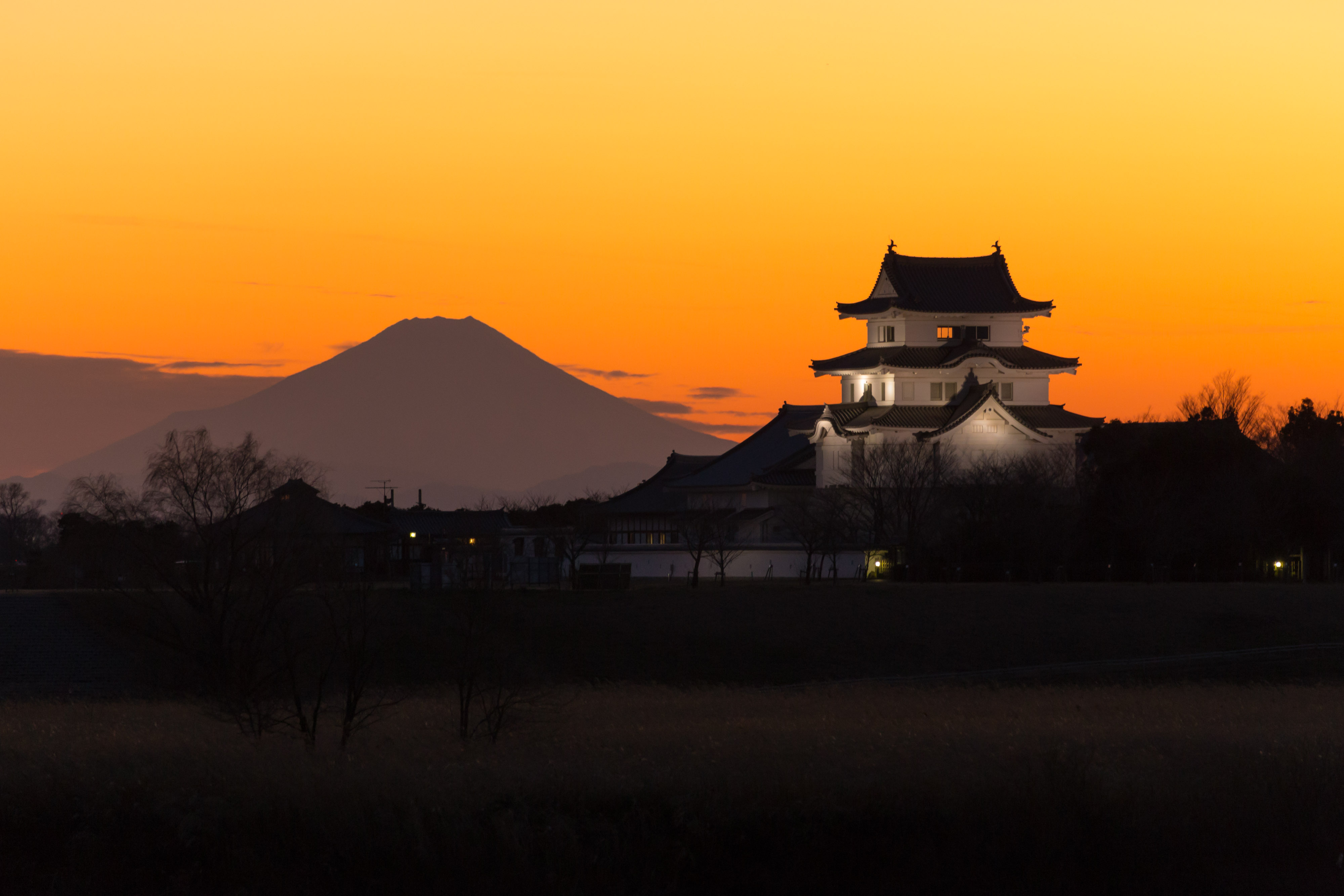
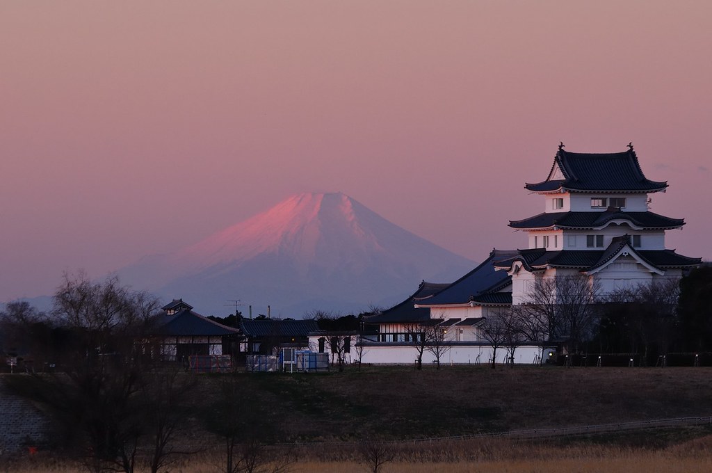
mt.fuji and sekiyado castle
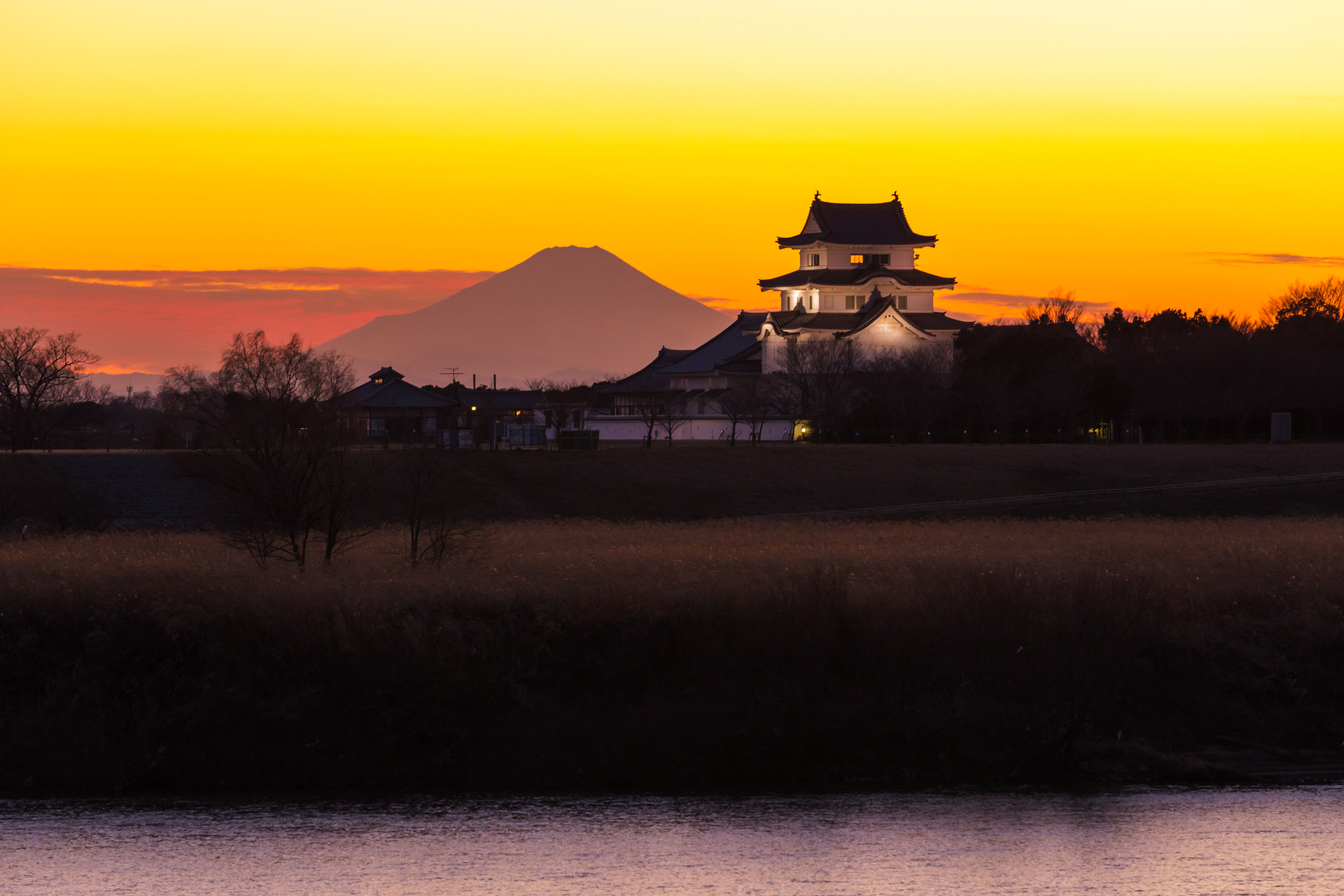
sekiyado castle at dusk

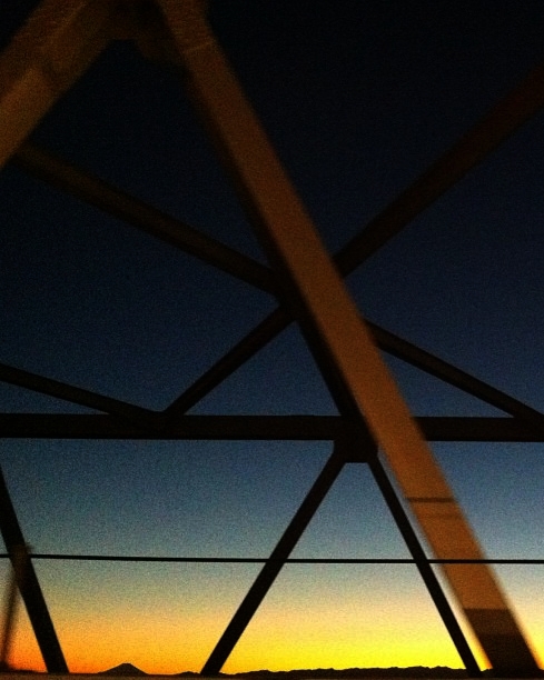
日の出と鉄塔 #steeltower
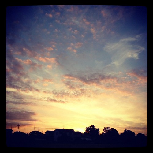
#sunset
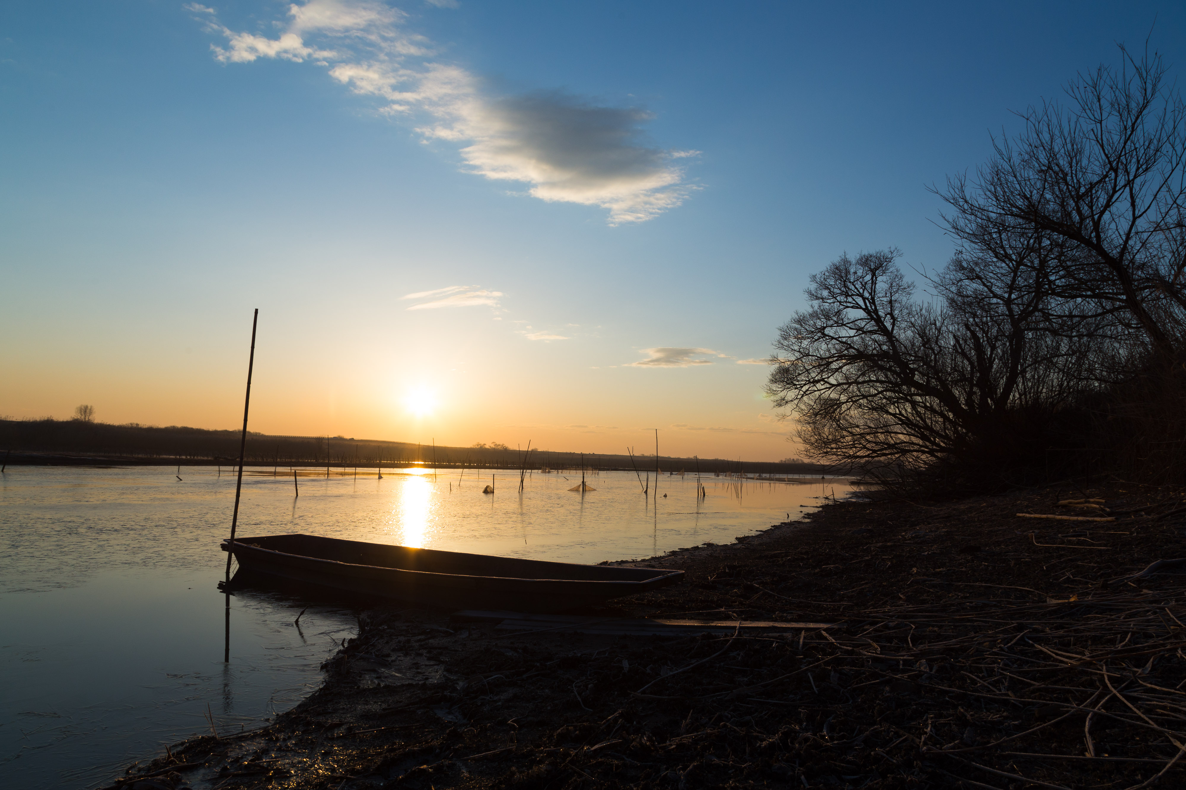
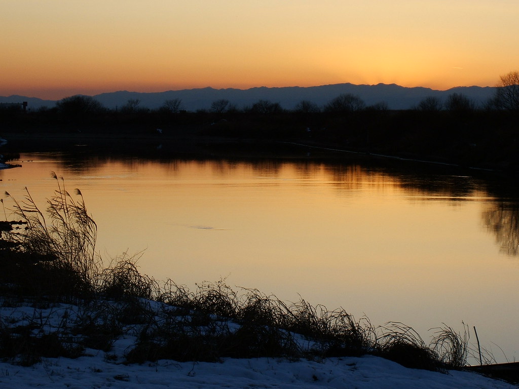
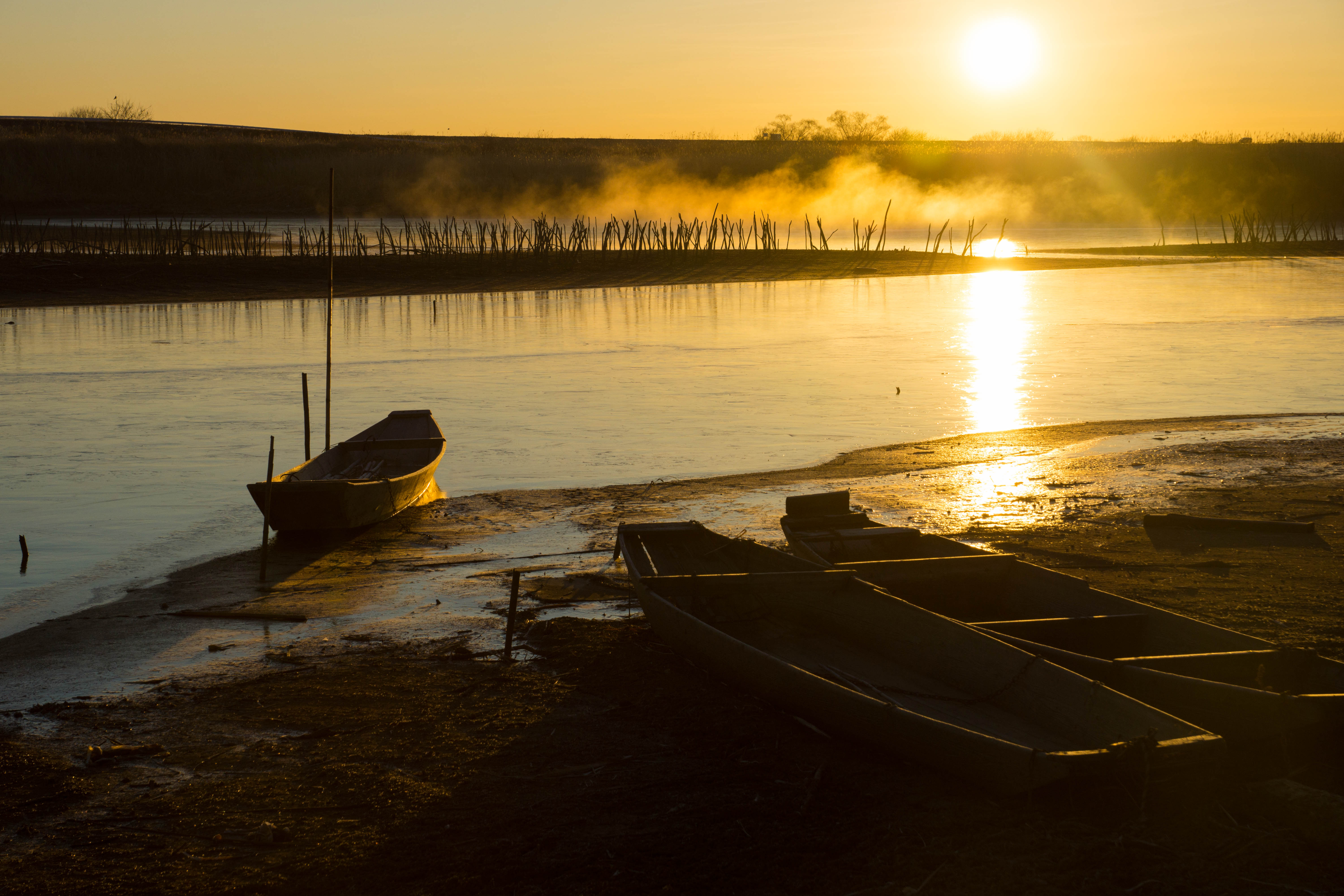
morning at watarase
Distant view of Beni Fuji Dec/28/2013 6:53
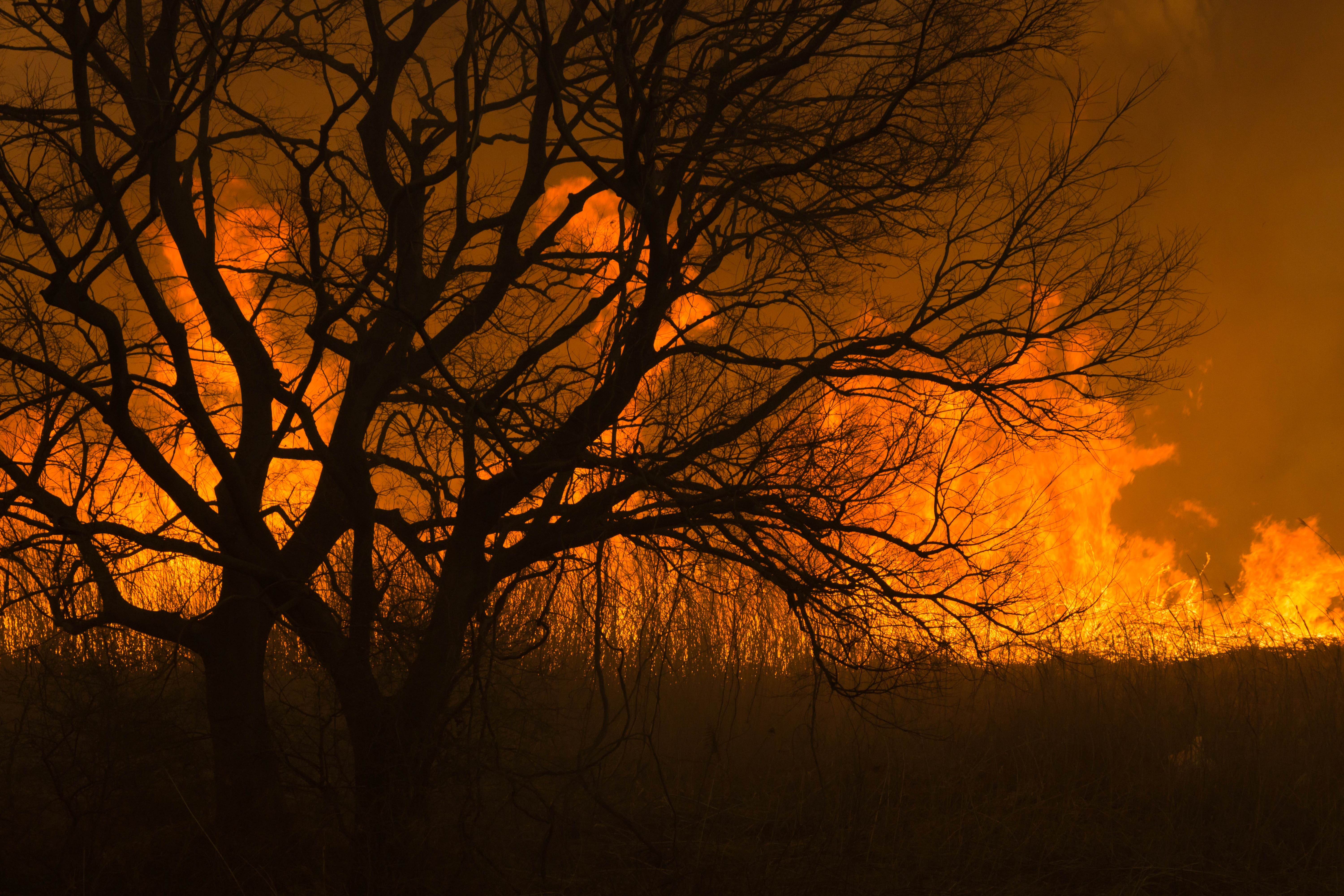
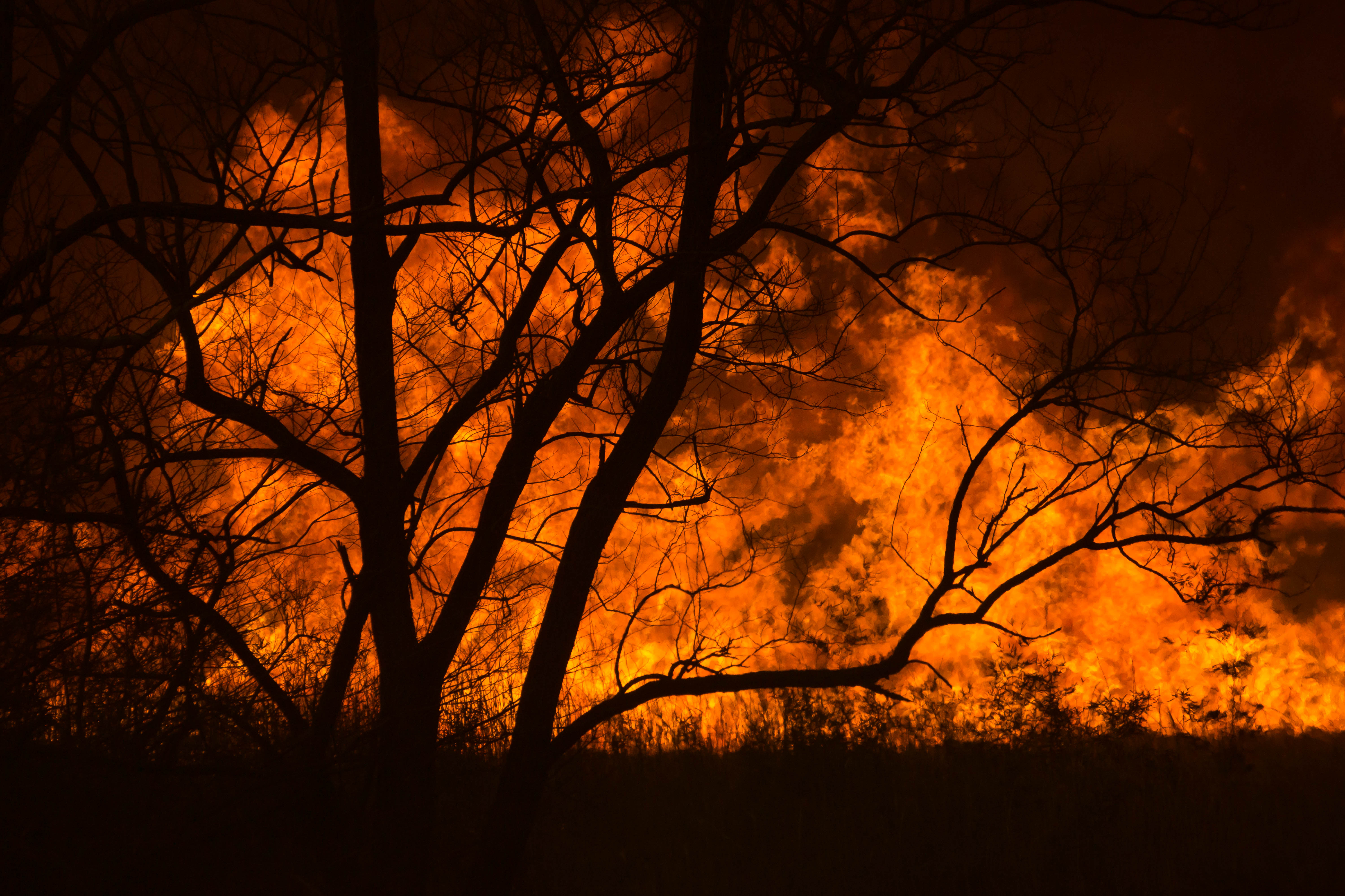
Reed burning in the Watarase anti-flood pond
DSC06800.jpg

Reed burning in the Watarase anti-flood pond
Today's sunset
Reed burning in the Watarase anti-flood pond
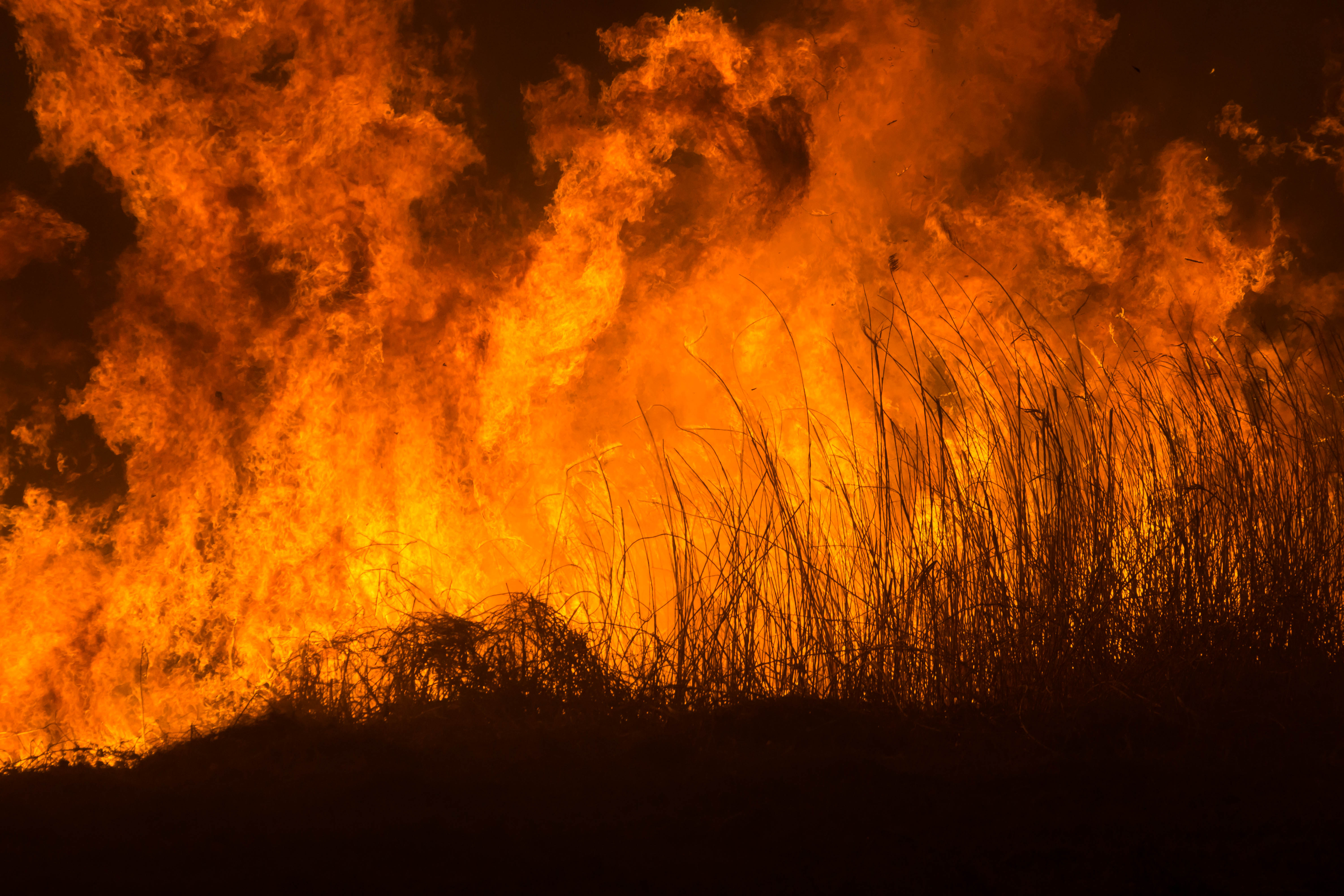
Reed burning in the Watarase anti-flood pond
Reed burning in the Watarase anti-flood pond
DSC06053.jpg

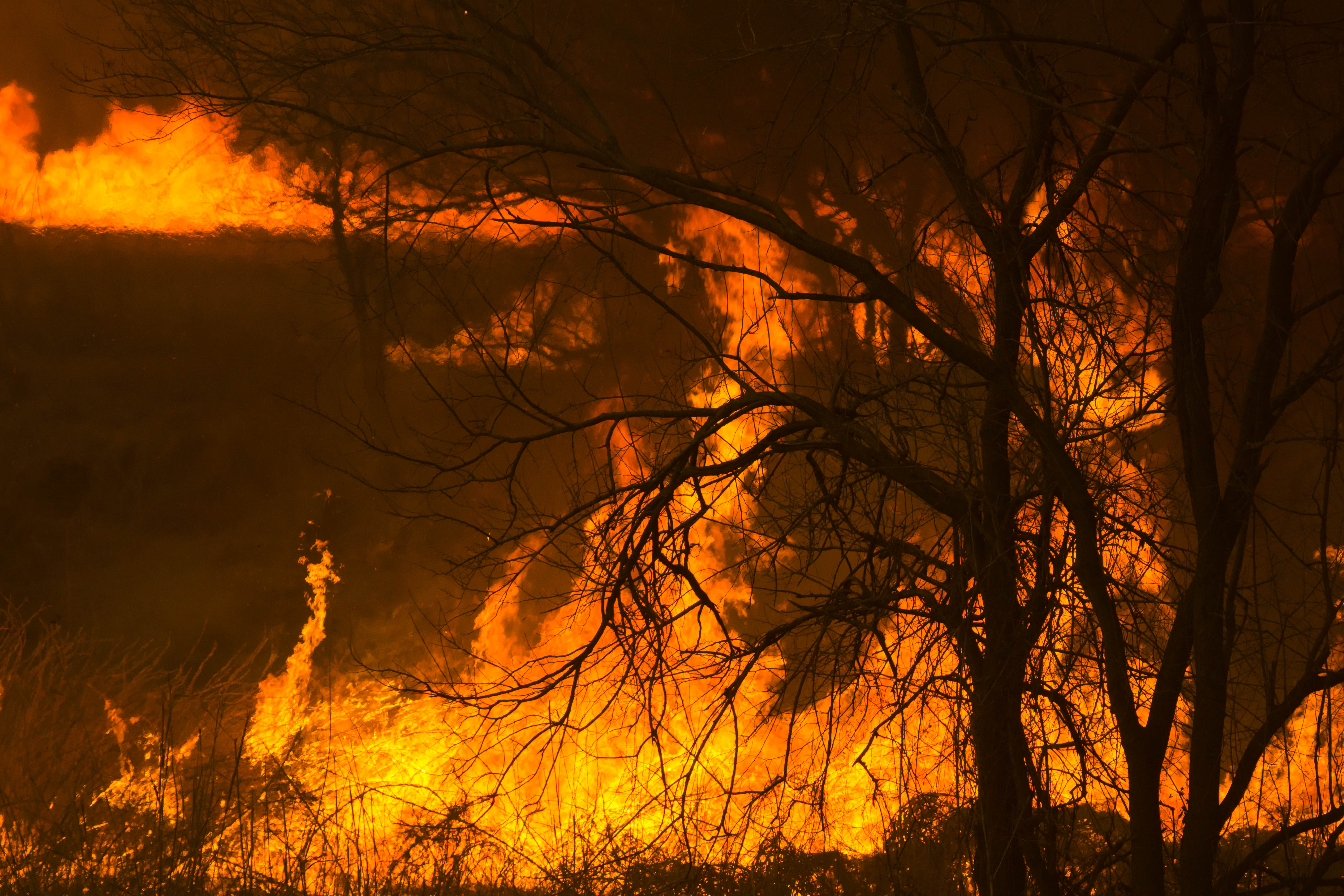
Reed burning in the Watarase anti-flood pond
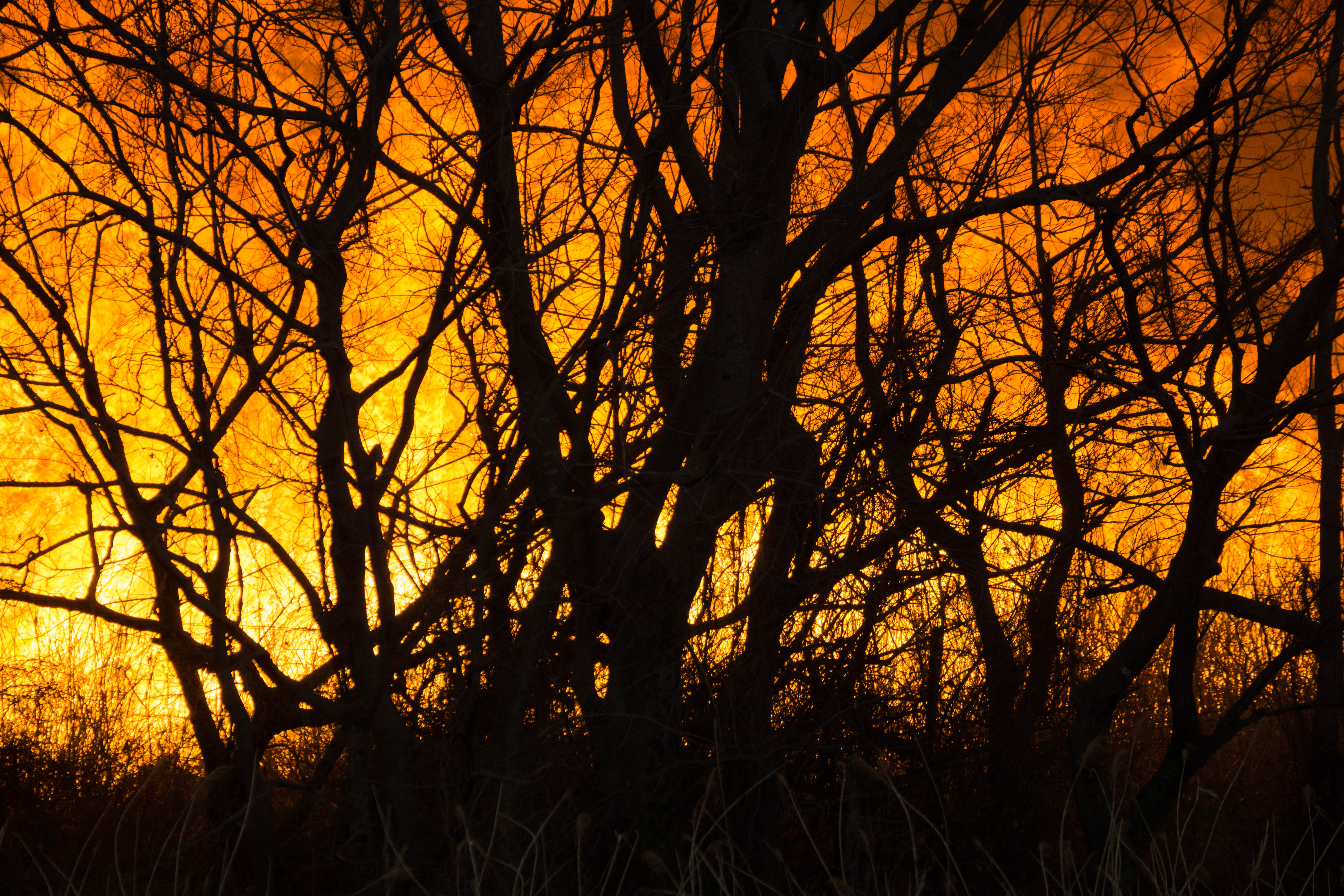
Reed burning in the Watarase anti-flood pond
The first sunrise of the year 2016

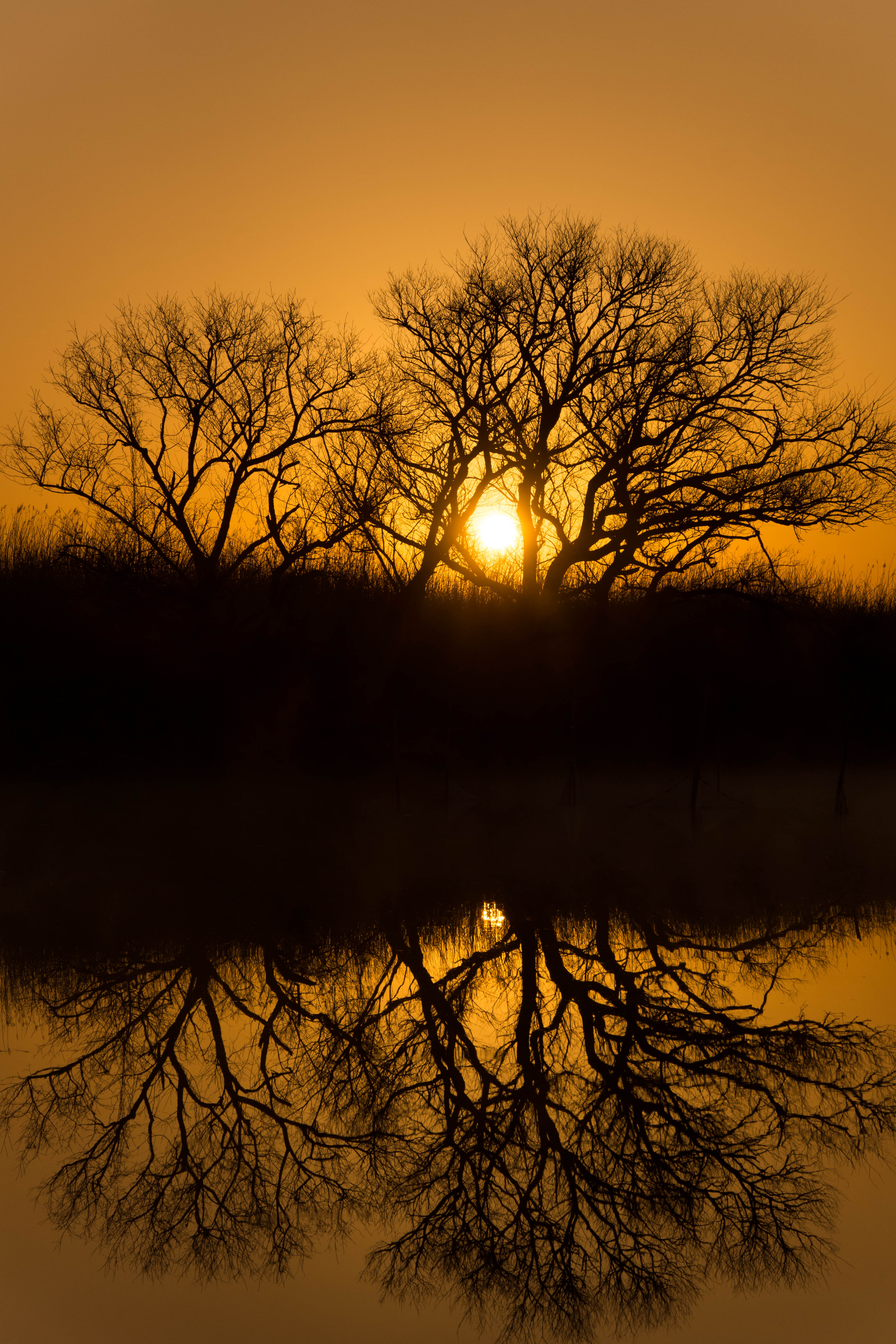
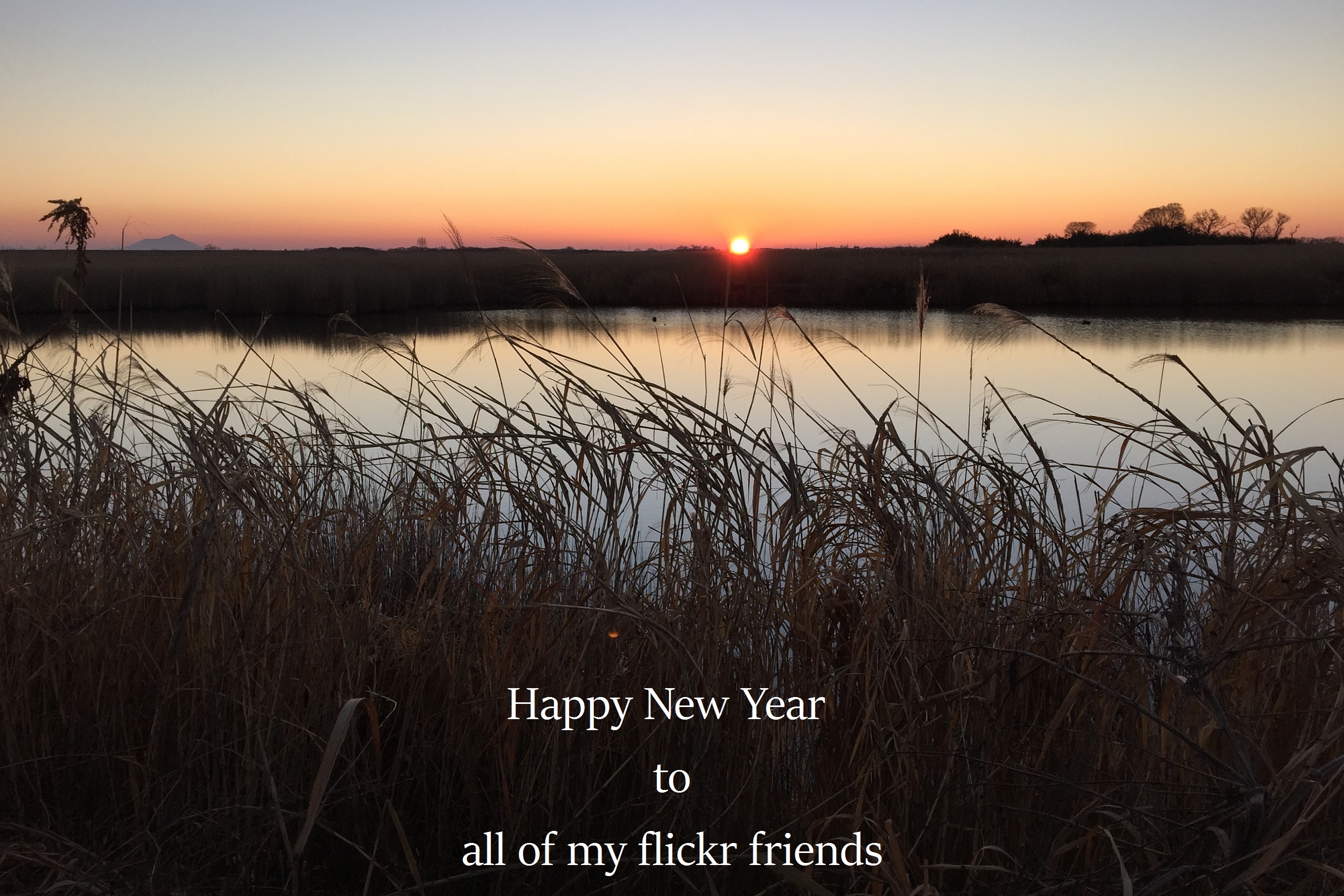
sunrise through reeds
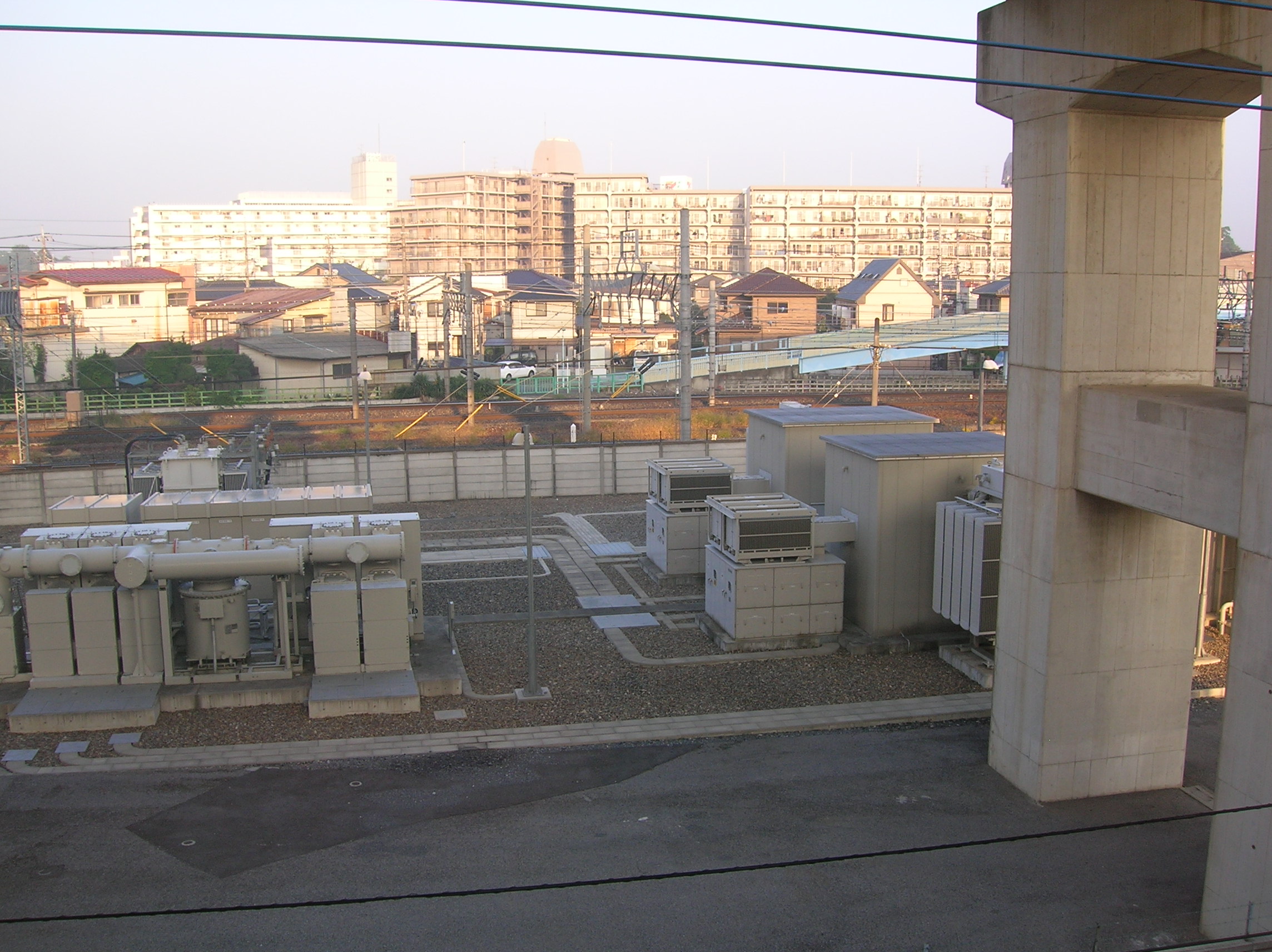
Sunrise on the cement apartment blocks
Kurihashi, Kuki, Saitama Prefecture -, Japan Map
Search another place
Near Places
Minamikurihashi, Kuki, Saitama -, Japan
1 Chome Midori, Kuki, Saitama -, Japan
1 Chome Kurihashichuo, Kuki, Saitama -, Japan
-7 Hatai, Kazo-shi, Saitama-ken -, Japan
Hatai, Kazo, Saitama -, Japan
Goka, Sashima District, Ibaraki Prefecture, Japan
-9 Kofukuda, Goka-machi, Sashima-gun, Ibaraki-ken -, Japan
Satte, Saitama Prefecture, Japan
-2 Noguki, Kuki-shi, Saitama-ken -, Japan
Shimohemi, Koga, Ibaraki -, Japan
下辺見酒場 こんちき, Shimohemi, Koga, Ibaraki -, Japan
Shimohemi, Koga, Ibaraki -, Japan
2 Chome Kukikita, Kuki-shi, Saitama-ken -, Japan
Kukikita, Kuki, Saitama -, Japan
Koga, Ibaraki Prefecture, Japan
1 Chome-1-2 Ōkuwa, Kazo-shi, Saitama-ken -, Japan
Sugito-Takanodai Station, 1 Chome Takanodaihigashi, Sugito, Kitakatsushika District, Saitama -, Japa
杉戸高野台駅, 1 Chome Takanodaihigashi, Sugito, Kitakatsushika District, Saitama -, Japan
-8 Tsukazaki, Sakai-machi, Sashima-gun, Ibaraki-ken -, Japan
1 Chome Takanodaihigashi, Sugito, Kitakatsushika District, Saitama -, Japan
Recent Searches
- Sunrise Sunset Times of Tenjo, Cundinamarca, Colombia
- Sunrise Sunset Times of -1 Gosho, Ichihara, Chiba -, Japan
- Sunrise Sunset Times of -, Japan
- Sunrise Sunset Times of Spaceport America, Co Rd A, Truth or Consequences, NM, USA
- Sunrise Sunset Times of Warwick, RI, USA
- Sunrise Sunset Times of Moriyama House, 3-chōme-21-21 Nishikamata, Ota City, Tokyo -, Japan
- Sunrise Sunset Times of Manjojiki, Sawasaki, Sado, Niigata -, Japan
- Sunrise Sunset Times of W Granada St, Tampa, FL, USA
- Sunrise Sunset Times of Jalapa, Oaxaca, Mexico
- Sunrise Sunset Times of Pykes Down, Ivybridge PL21 0BY, UK