Wildwood View Dr, Yucaipa, CA アメリカ合衆国日の出日の入り時間
Location: アメリカ合衆国 > カリフォルニア州 > サン・バーナディーノ > アメリカ合衆国 カリフォルニア州 ユカイパ >
時間帯:
America/Los_Angeles
現地時間:
2024-05-01 05:35:21
経度:
-116.9932374
緯度:
34.0102655
今日の日の出時刻:
05:57:36 AM
今日の日の入時刻:
07:32:19 PM
今日の日長:
13h 34m 43s
明日の日の出時刻:
05:56:37 AM
明日の日の入時刻:
07:33:05 PM
明日の日長:
13h 36m 28s
すべて表示する
| 日付 | 日出 | 日没 | 日長 |
|---|---|---|---|
| 2024年01月01日 | 06:53:29 AM | 04:50:12 PM | 9h 56m 43s |
| 2024年01月02日 | 06:53:39 AM | 04:50:58 PM | 9h 57m 19s |
| 2024年01月03日 | 06:53:46 AM | 04:51:45 PM | 9h 57m 59s |
| 2024年01月04日 | 06:53:52 AM | 04:52:33 PM | 9h 58m 41s |
| 2024年01月05日 | 06:53:56 AM | 04:53:22 PM | 9h 59m 26s |
| 2024年01月06日 | 06:53:59 AM | 04:54:12 PM | 10h 0m 13s |
| 2024年01月07日 | 06:53:59 AM | 04:55:03 PM | 10h 1m 4s |
| 2024年01月08日 | 06:53:57 AM | 04:55:55 PM | 10h 1m 58s |
| 2024年01月09日 | 06:53:54 AM | 04:56:48 PM | 10h 2m 54s |
| 2024年01月10日 | 06:53:49 AM | 04:57:41 PM | 10h 3m 52s |
| 2024年01月11日 | 06:53:42 AM | 04:58:35 PM | 10h 4m 53s |
| 2024年01月12日 | 06:53:33 AM | 04:59:30 PM | 10h 5m 57s |
| 2024年01月13日 | 06:53:22 AM | 05:00:25 PM | 10h 7m 3s |
| 2024年01月14日 | 06:53:09 AM | 05:01:21 PM | 10h 8m 12s |
| 2024年01月15日 | 06:52:55 AM | 05:02:17 PM | 10h 9m 22s |
| 2024年01月16日 | 06:52:38 AM | 05:03:14 PM | 10h 10m 36s |
| 2024年01月17日 | 06:52:20 AM | 05:04:11 PM | 10h 11m 51s |
| 2024年01月18日 | 06:52:00 AM | 05:05:09 PM | 10h 13m 9s |
| 2024年01月19日 | 06:51:38 AM | 05:06:07 PM | 10h 14m 29s |
| 2024年01月20日 | 06:51:15 AM | 05:07:05 PM | 10h 15m 50s |
| 2024年01月21日 | 06:50:49 AM | 05:08:04 PM | 10h 17m 15s |
| 2024年01月22日 | 06:50:22 AM | 05:09:02 PM | 10h 18m 40s |
| 2024年01月23日 | 06:49:53 AM | 05:10:01 PM | 10h 20m 8s |
| 2024年01月24日 | 06:49:23 AM | 05:11:00 PM | 10h 21m 37s |
| 2024年01月25日 | 06:48:51 AM | 05:11:59 PM | 10h 23m 8s |
| 2024年01月26日 | 06:48:17 AM | 05:12:58 PM | 10h 24m 41s |
| 2024年01月27日 | 06:47:41 AM | 05:13:58 PM | 10h 26m 17s |
| 2024年01月28日 | 06:47:04 AM | 05:14:57 PM | 10h 27m 53s |
| 2024年01月29日 | 06:46:25 AM | 05:15:56 PM | 10h 29m 31s |
| 2024年01月30日 | 06:45:45 AM | 05:16:55 PM | 10h 31m 10s |
| 2024年01月31日 | 06:45:03 AM | 05:17:54 PM | 10h 32m 51s |
| 2024年02月01日 | 06:44:19 AM | 05:18:53 PM | 10h 34m 34s |
| 2024年02月02日 | 06:43:34 AM | 05:19:52 PM | 10h 36m 18s |
| 2024年02月03日 | 06:42:48 AM | 05:20:51 PM | 10h 38m 3s |
| 2024年02月04日 | 06:42:00 AM | 05:21:50 PM | 10h 39m 50s |
| 2024年02月05日 | 06:41:10 AM | 05:22:48 PM | 10h 41m 38s |
| 2024年02月06日 | 06:40:20 AM | 05:23:46 PM | 10h 43m 26s |
| 2024年02月07日 | 06:39:28 AM | 05:24:44 PM | 10h 45m 16s |
| 2024年02月08日 | 06:38:34 AM | 05:25:42 PM | 10h 47m 8s |
| 2024年02月09日 | 06:37:39 AM | 05:26:39 PM | 10h 49m 0s |
| 2024年02月10日 | 06:36:43 AM | 05:27:36 PM | 10h 50m 53s |
| 2024年02月11日 | 06:35:46 AM | 05:28:33 PM | 10h 52m 47s |
| 2024年02月12日 | 06:34:48 AM | 05:29:30 PM | 10h 54m 42s |
| 2024年02月13日 | 06:33:48 AM | 05:30:26 PM | 10h 56m 38s |
| 2024年02月14日 | 06:32:47 AM | 05:31:22 PM | 10h 58m 35s |
| 2024年02月15日 | 06:31:45 AM | 05:32:17 PM | 11h 0m 32s |
| 2024年02月16日 | 06:30:42 AM | 05:33:13 PM | 11h 2m 31s |
| 2024年02月17日 | 06:29:38 AM | 05:34:08 PM | 11h 4m 30s |
| 2024年02月18日 | 06:28:33 AM | 05:35:02 PM | 11h 6m 29s |
| 2024年02月19日 | 06:27:27 AM | 05:35:57 PM | 11h 8m 30s |
| 2024年02月20日 | 06:26:20 AM | 05:36:50 PM | 11h 10m 30s |
| 2024年02月21日 | 06:25:12 AM | 05:37:44 PM | 11h 12m 32s |
| 2024年02月22日 | 06:24:03 AM | 05:38:37 PM | 11h 14m 34s |
| 2024年02月23日 | 06:22:53 AM | 05:39:30 PM | 11h 16m 37s |
| 2024年02月24日 | 06:21:42 AM | 05:40:23 PM | 11h 18m 41s |
| 2024年02月25日 | 06:20:31 AM | 05:41:15 PM | 11h 20m 44s |
| 2024年02月26日 | 06:19:18 AM | 05:42:07 PM | 11h 22m 49s |
| 2024年02月27日 | 06:18:05 AM | 05:42:58 PM | 11h 24m 53s |
| 2024年02月28日 | 06:16:52 AM | 05:43:49 PM | 11h 26m 57s |
| 2024年02月29日 | 06:15:37 AM | 05:44:40 PM | 11h 29m 3s |
| 2024年03月01日 | 06:14:22 AM | 05:45:31 PM | 11h 31m 9s |
| 2024年03月02日 | 06:13:07 AM | 05:46:21 PM | 11h 33m 14s |
| 2024年03月03日 | 06:11:50 AM | 05:47:11 PM | 11h 35m 21s |
| 2024年03月04日 | 06:10:33 AM | 05:48:00 PM | 11h 37m 27s |
| 2024年03月05日 | 06:09:16 AM | 05:48:50 PM | 11h 39m 34s |
| 2024年03月06日 | 06:07:58 AM | 05:49:39 PM | 11h 41m 41s |
| 2024年03月07日 | 06:06:40 AM | 05:50:28 PM | 11h 43m 48s |
| 2024年03月08日 | 06:05:21 AM | 05:51:16 PM | 11h 45m 55s |
| 2024年03月09日 | 06:04:02 AM | 05:52:04 PM | 11h 48m 2s |
| 2024年03月10日 | 07:02:45 AM | 06:52:50 PM | 11h 50m 5s |
| 2024年03月11日 | 07:01:25 AM | 06:53:38 PM | 11h 52m 13s |
| 2024年03月12日 | 07:00:05 AM | 06:54:25 PM | 11h 54m 20s |
| 2024年03月13日 | 06:58:45 AM | 06:55:13 PM | 11h 56m 28s |
| 2024年03月14日 | 06:57:24 AM | 06:56:00 PM | 11h 58m 36s |
| 2024年03月15日 | 06:56:03 AM | 06:56:47 PM | 12h 0m 44s |
| 2024年03月16日 | 06:54:41 AM | 06:57:34 PM | 12h 2m 53s |
| 2024年03月17日 | 06:53:20 AM | 06:58:20 PM | 12h 5m 0s |
| 2024年03月18日 | 06:51:58 AM | 06:59:06 PM | 12h 7m 8s |
| 2024年03月19日 | 06:50:37 AM | 06:59:53 PM | 12h 9m 16s |
| 2024年03月20日 | 06:49:15 AM | 07:00:39 PM | 12h 11m 24s |
| 2024年03月21日 | 06:47:53 AM | 07:01:25 PM | 12h 13m 32s |
| 2024年03月22日 | 06:46:31 AM | 07:02:11 PM | 12h 15m 40s |
| 2024年03月23日 | 06:45:09 AM | 07:02:56 PM | 12h 17m 47s |
| 2024年03月24日 | 06:43:47 AM | 07:03:42 PM | 12h 19m 55s |
| 2024年03月25日 | 06:42:25 AM | 07:04:28 PM | 12h 22m 3s |
| 2024年03月26日 | 06:41:04 AM | 07:05:13 PM | 12h 24m 9s |
| 2024年03月27日 | 06:39:42 AM | 07:05:59 PM | 12h 26m 17s |
| 2024年03月28日 | 06:38:20 AM | 07:06:44 PM | 12h 28m 24s |
| 2024年03月29日 | 06:36:59 AM | 07:07:30 PM | 12h 30m 31s |
| 2024年03月30日 | 06:35:38 AM | 07:08:15 PM | 12h 32m 37s |
| 2024年03月31日 | 06:34:17 AM | 07:09:00 PM | 12h 34m 43s |
| 2024年04月01日 | 06:32:56 AM | 07:09:46 PM | 12h 36m 50s |
| 2024年04月02日 | 06:31:36 AM | 07:10:31 PM | 12h 38m 55s |
| 2024年04月03日 | 06:30:16 AM | 07:11:16 PM | 12h 41m 0s |
| 2024年04月04日 | 06:28:56 AM | 07:12:02 PM | 12h 43m 6s |
| 2024年04月05日 | 06:27:37 AM | 07:12:47 PM | 12h 45m 10s |
| 2024年04月06日 | 06:26:18 AM | 07:13:33 PM | 12h 47m 15s |
| 2024年04月07日 | 06:25:00 AM | 07:14:18 PM | 12h 49m 18s |
| 2024年04月08日 | 06:23:42 AM | 07:15:04 PM | 12h 51m 22s |
| 2024年04月09日 | 06:22:24 AM | 07:15:49 PM | 12h 53m 25s |
| 2024年04月10日 | 06:21:07 AM | 07:16:35 PM | 12h 55m 28s |
| 2024年04月11日 | 06:19:51 AM | 07:17:20 PM | 12h 57m 29s |
| 2024年04月12日 | 06:18:35 AM | 07:18:06 PM | 12h 59m 31s |
| 2024年04月13日 | 06:17:19 AM | 07:18:52 PM | 13h 1m 33s |
| 2024年04月14日 | 06:16:05 AM | 07:19:38 PM | 13h 3m 33s |
| 2024年04月15日 | 06:14:51 AM | 07:20:24 PM | 13h 5m 33s |
| 2024年04月16日 | 06:13:37 AM | 07:21:10 PM | 13h 7m 33s |
| 2024年04月17日 | 06:12:25 AM | 07:21:56 PM | 13h 9m 31s |
| 2024年04月18日 | 06:11:13 AM | 07:22:42 PM | 13h 11m 29s |
| 2024年04月19日 | 06:10:02 AM | 07:23:29 PM | 13h 13m 27s |
| 2024年04月20日 | 06:08:52 AM | 07:24:15 PM | 13h 15m 23s |
| 2024年04月21日 | 06:07:42 AM | 07:25:01 PM | 13h 17m 19s |
| 2024年04月22日 | 06:06:34 AM | 07:25:48 PM | 13h 19m 14s |
| 2024年04月23日 | 06:05:26 AM | 07:26:34 PM | 13h 21m 8s |
| 2024年04月24日 | 06:04:19 AM | 07:27:21 PM | 13h 23m 2s |
| 2024年04月25日 | 06:03:13 AM | 07:28:08 PM | 13h 24m 55s |
| 2024年04月26日 | 06:02:08 AM | 07:28:54 PM | 13h 26m 46s |
| 2024年04月27日 | 06:01:04 AM | 07:29:41 PM | 13h 28m 37s |
| 2024年04月28日 | 06:00:01 AM | 07:30:28 PM | 13h 30m 27s |
| 2024年04月29日 | 05:58:59 AM | 07:31:14 PM | 13h 32m 15s |
| 2024年04月30日 | 05:57:59 AM | 07:32:01 PM | 13h 34m 2s |
| 2024年05月01日 | 05:56:59 AM | 07:32:48 PM | 13h 35m 49s |
| 2024年05月02日 | 05:56:00 AM | 07:33:35 PM | 13h 37m 35s |
| 2024年05月03日 | 05:55:03 AM | 07:34:21 PM | 13h 39m 18s |
| 2024年05月04日 | 05:54:07 AM | 07:35:08 PM | 13h 41m 1s |
| 2024年05月05日 | 05:53:12 AM | 07:35:54 PM | 13h 42m 42s |
| 2024年05月06日 | 05:52:18 AM | 07:36:41 PM | 13h 44m 23s |
| 2024年05月07日 | 05:51:25 AM | 07:37:27 PM | 13h 46m 2s |
| 2024年05月08日 | 05:50:34 AM | 07:38:13 PM | 13h 47m 39s |
| 2024年05月09日 | 05:49:44 AM | 07:38:59 PM | 13h 49m 15s |
| 2024年05月10日 | 05:48:55 AM | 07:39:45 PM | 13h 50m 50s |
| 2024年05月11日 | 05:48:08 AM | 07:40:31 PM | 13h 52m 23s |
| 2024年05月12日 | 05:47:22 AM | 07:41:16 PM | 13h 53m 54s |
| 2024年05月13日 | 05:46:37 AM | 07:42:02 PM | 13h 55m 25s |
| 2024年05月14日 | 05:45:54 AM | 07:42:47 PM | 13h 56m 53s |
| 2024年05月15日 | 05:45:12 AM | 07:43:31 PM | 13h 58m 19s |
| 2024年05月16日 | 05:44:32 AM | 07:44:16 PM | 13h 59m 44s |
| 2024年05月17日 | 05:43:53 AM | 07:45:00 PM | 14h 1m 7s |
| 2024年05月18日 | 05:43:15 AM | 07:45:43 PM | 14h 2m 28s |
| 2024年05月19日 | 05:42:39 AM | 07:46:27 PM | 14h 3m 48s |
| 2024年05月20日 | 05:42:05 AM | 07:47:09 PM | 14h 5m 4s |
| 2024年05月21日 | 05:41:32 AM | 07:47:52 PM | 14h 6m 20s |
| 2024年05月22日 | 05:41:01 AM | 07:48:34 PM | 14h 7m 33s |
| 2024年05月23日 | 05:40:31 AM | 07:49:15 PM | 14h 8m 44s |
| 2024年05月24日 | 05:40:02 AM | 07:49:56 PM | 14h 9m 54s |
| 2024年05月25日 | 05:39:36 AM | 07:50:36 PM | 14h 11m 0s |
| 2024年05月26日 | 05:39:11 AM | 07:51:15 PM | 14h 12m 4s |
| 2024年05月27日 | 05:38:47 AM | 07:51:54 PM | 14h 13m 7s |
| 2024年05月28日 | 05:38:25 AM | 07:52:32 PM | 14h 14m 7s |
| 2024年05月29日 | 05:38:05 AM | 07:53:10 PM | 14h 15m 5s |
| 2024年05月30日 | 05:37:46 AM | 07:53:46 PM | 14h 16m 0s |
| 2024年05月31日 | 05:37:29 AM | 07:54:22 PM | 14h 16m 53s |
| 2024年06月01日 | 05:37:13 AM | 07:54:57 PM | 14h 17m 44s |
| 2024年06月02日 | 05:36:59 AM | 07:55:31 PM | 14h 18m 32s |
| 2024年06月03日 | 05:36:47 AM | 07:56:04 PM | 14h 19m 17s |
| 2024年06月04日 | 05:36:36 AM | 07:56:37 PM | 14h 20m 1s |
| 2024年06月05日 | 05:36:27 AM | 07:57:08 PM | 14h 20m 41s |
| 2024年06月06日 | 05:36:19 AM | 07:57:38 PM | 14h 21m 19s |
| 2024年06月07日 | 05:36:13 AM | 07:58:07 PM | 14h 21m 54s |
| 2024年06月08日 | 05:36:08 AM | 07:58:35 PM | 14h 22m 27s |
| 2024年06月09日 | 05:36:06 AM | 07:59:02 PM | 14h 22m 56s |
| 2024年06月10日 | 05:36:04 AM | 07:59:28 PM | 14h 23m 24s |
| 2024年06月11日 | 05:36:05 AM | 07:59:53 PM | 14h 23m 48s |
| 2024年06月12日 | 05:36:06 AM | 08:00:16 PM | 14h 24m 10s |
| 2024年06月13日 | 05:36:10 AM | 08:00:38 PM | 14h 24m 28s |
| 2024年06月14日 | 05:36:14 AM | 08:00:59 PM | 14h 24m 45s |
| 2024年06月15日 | 05:36:21 AM | 08:01:19 PM | 14h 24m 58s |
| 2024年06月16日 | 05:36:28 AM | 08:01:37 PM | 14h 25m 9s |
| 2024年06月17日 | 05:36:38 AM | 08:01:54 PM | 14h 25m 16s |
| 2024年06月18日 | 05:36:48 AM | 08:02:10 PM | 14h 25m 22s |
| 2024年06月19日 | 05:37:00 AM | 08:02:24 PM | 14h 25m 24s |
| 2024年06月20日 | 05:37:14 AM | 08:02:37 PM | 14h 25m 23s |
| 2024年06月21日 | 05:37:28 AM | 08:02:48 PM | 14h 25m 20s |
| 2024年06月22日 | 05:37:45 AM | 08:02:58 PM | 14h 25m 13s |
| 2024年06月23日 | 05:38:02 AM | 08:03:06 PM | 14h 25m 4s |
| 2024年06月24日 | 05:38:21 AM | 08:03:13 PM | 14h 24m 52s |
| 2024年06月25日 | 05:38:41 AM | 08:03:18 PM | 14h 24m 37s |
| 2024年06月26日 | 05:39:02 AM | 08:03:21 PM | 14h 24m 19s |
| 2024年06月27日 | 05:39:24 AM | 08:03:23 PM | 14h 23m 59s |
| 2024年06月28日 | 05:39:48 AM | 08:03:24 PM | 14h 23m 36s |
| 2024年06月29日 | 05:40:12 AM | 08:03:23 PM | 14h 23m 11s |
| 2024年06月30日 | 05:40:38 AM | 08:03:20 PM | 14h 22m 42s |
| 2024年07月01日 | 05:41:05 AM | 08:03:16 PM | 14h 22m 11s |
| 2024年07月02日 | 05:41:33 AM | 08:03:10 PM | 14h 21m 37s |
| 2024年07月03日 | 05:42:01 AM | 08:03:02 PM | 14h 21m 1s |
| 2024年07月04日 | 05:42:31 AM | 08:02:53 PM | 14h 20m 22s |
| 2024年07月05日 | 05:43:02 AM | 08:02:42 PM | 14h 19m 40s |
| 2024年07月06日 | 05:43:34 AM | 08:02:30 PM | 14h 18m 56s |
| 2024年07月07日 | 05:44:06 AM | 08:02:15 PM | 14h 18m 9s |
| 2024年07月08日 | 05:44:39 AM | 08:02:00 PM | 14h 17m 21s |
| 2024年07月09日 | 05:45:13 AM | 08:01:42 PM | 14h 16m 29s |
| 2024年07月10日 | 05:45:48 AM | 08:01:23 PM | 14h 15m 35s |
| 2024年07月11日 | 05:46:24 AM | 08:01:02 PM | 14h 14m 38s |
| 2024年07月12日 | 05:47:00 AM | 08:00:40 PM | 14h 13m 40s |
| 2024年07月13日 | 05:47:37 AM | 08:00:16 PM | 14h 12m 39s |
| 2024年07月14日 | 05:48:14 AM | 07:59:50 PM | 14h 11m 36s |
| 2024年07月15日 | 05:48:52 AM | 07:59:23 PM | 14h 10m 31s |
| 2024年07月16日 | 05:49:31 AM | 07:58:54 PM | 14h 9m 23s |
| 2024年07月17日 | 05:50:10 AM | 07:58:24 PM | 14h 8m 14s |
| 2024年07月18日 | 05:50:49 AM | 07:57:52 PM | 14h 7m 3s |
| 2024年07月19日 | 05:51:29 AM | 07:57:19 PM | 14h 5m 50s |
| 2024年07月20日 | 05:52:10 AM | 07:56:44 PM | 14h 4m 34s |
| 2024年07月21日 | 05:52:51 AM | 07:56:07 PM | 14h 3m 16s |
| 2024年07月22日 | 05:53:32 AM | 07:55:29 PM | 14h 1m 57s |
| 2024年07月23日 | 05:54:13 AM | 07:54:49 PM | 14h 0m 36s |
| 2024年07月24日 | 05:54:55 AM | 07:54:08 PM | 13h 59m 13s |
| 2024年07月25日 | 05:55:37 AM | 07:53:25 PM | 13h 57m 48s |
| 2024年07月26日 | 05:56:19 AM | 07:52:41 PM | 13h 56m 22s |
| 2024年07月27日 | 05:57:02 AM | 07:51:56 PM | 13h 54m 54s |
| 2024年07月28日 | 05:57:45 AM | 07:51:09 PM | 13h 53m 24s |
| 2024年07月29日 | 05:58:28 AM | 07:50:21 PM | 13h 51m 53s |
| 2024年07月30日 | 05:59:11 AM | 07:49:31 PM | 13h 50m 20s |
| 2024年07月31日 | 05:59:54 AM | 07:48:40 PM | 13h 48m 46s |
| 2024年08月01日 | 06:00:37 AM | 07:47:48 PM | 13h 47m 11s |
| 2024年08月02日 | 06:01:20 AM | 07:46:54 PM | 13h 45m 34s |
| 2024年08月03日 | 06:02:04 AM | 07:46:00 PM | 13h 43m 56s |
| 2024年08月04日 | 06:02:47 AM | 07:45:04 PM | 13h 42m 17s |
| 2024年08月05日 | 06:03:31 AM | 07:44:06 PM | 13h 40m 35s |
| 2024年08月06日 | 06:04:14 AM | 07:43:08 PM | 13h 38m 54s |
| 2024年08月07日 | 06:04:58 AM | 07:42:08 PM | 13h 37m 10s |
| 2024年08月08日 | 06:05:41 AM | 07:41:07 PM | 13h 35m 26s |
| 2024年08月09日 | 06:06:25 AM | 07:40:05 PM | 13h 33m 40s |
| 2024年08月10日 | 06:07:08 AM | 07:39:02 PM | 13h 31m 54s |
| 2024年08月11日 | 06:07:52 AM | 07:37:58 PM | 13h 30m 6s |
| 2024年08月12日 | 06:08:35 AM | 07:36:53 PM | 13h 28m 18s |
| 2024年08月13日 | 06:09:18 AM | 07:35:47 PM | 13h 26m 29s |
| 2024年08月14日 | 06:10:01 AM | 07:34:39 PM | 13h 24m 38s |
| 2024年08月15日 | 06:10:44 AM | 07:33:31 PM | 13h 22m 47s |
| 2024年08月16日 | 06:11:27 AM | 07:32:22 PM | 13h 20m 55s |
| 2024年08月17日 | 06:12:10 AM | 07:31:12 PM | 13h 19m 2s |
| 2024年08月18日 | 06:12:53 AM | 07:30:01 PM | 13h 17m 8s |
| 2024年08月19日 | 06:13:36 AM | 07:28:50 PM | 13h 15m 14s |
| 2024年08月20日 | 06:14:18 AM | 07:27:37 PM | 13h 13m 19s |
| 2024年08月21日 | 06:15:01 AM | 07:26:24 PM | 13h 11m 23s |
| 2024年08月22日 | 06:15:43 AM | 07:25:10 PM | 13h 9m 27s |
| 2024年08月23日 | 06:16:26 AM | 07:23:55 PM | 13h 7m 29s |
| 2024年08月24日 | 06:17:08 AM | 07:22:39 PM | 13h 5m 31s |
| 2024年08月25日 | 06:17:50 AM | 07:21:23 PM | 13h 3m 33s |
| 2024年08月26日 | 06:18:32 AM | 07:20:06 PM | 13h 1m 34s |
| 2024年08月27日 | 06:19:14 AM | 07:18:49 PM | 12h 59m 35s |
| 2024年08月28日 | 06:19:56 AM | 07:17:30 PM | 12h 57m 34s |
| 2024年08月29日 | 06:20:37 AM | 07:16:12 PM | 12h 55m 35s |
| 2024年08月30日 | 06:21:19 AM | 07:14:52 PM | 12h 53m 33s |
| 2024年08月31日 | 06:22:00 AM | 07:13:33 PM | 12h 51m 33s |
| 2024年09月01日 | 06:22:42 AM | 07:12:12 PM | 12h 49m 30s |
| 2024年09月02日 | 06:23:23 AM | 07:10:52 PM | 12h 47m 29s |
| 2024年09月03日 | 06:24:04 AM | 07:09:30 PM | 12h 45m 26s |
| 2024年09月04日 | 06:24:46 AM | 07:08:09 PM | 12h 43m 23s |
| 2024年09月05日 | 06:25:27 AM | 07:06:47 PM | 12h 41m 20s |
| 2024年09月06日 | 06:26:08 AM | 07:05:25 PM | 12h 39m 17s |
| 2024年09月07日 | 06:26:49 AM | 07:04:02 PM | 12h 37m 13s |
| 2024年09月08日 | 06:27:30 AM | 07:02:39 PM | 12h 35m 9s |
| 2024年09月09日 | 06:28:11 AM | 07:01:16 PM | 12h 33m 5s |
| 2024年09月10日 | 06:28:53 AM | 06:59:53 PM | 12h 31m 0s |
| 2024年09月11日 | 06:29:34 AM | 06:58:29 PM | 12h 28m 55s |
| 2024年09月12日 | 06:30:15 AM | 06:57:05 PM | 12h 26m 50s |
| 2024年09月13日 | 06:30:56 AM | 06:55:41 PM | 12h 24m 45s |
| 2024年09月14日 | 06:31:37 AM | 06:54:17 PM | 12h 22m 40s |
| 2024年09月15日 | 06:32:19 AM | 06:52:53 PM | 12h 20m 34s |
| 2024年09月16日 | 06:33:00 AM | 06:51:29 PM | 12h 18m 29s |
| 2024年09月17日 | 06:33:41 AM | 06:50:04 PM | 12h 16m 23s |
| 2024年09月18日 | 06:34:23 AM | 06:48:40 PM | 12h 14m 17s |
| 2024年09月19日 | 06:35:04 AM | 06:47:16 PM | 12h 12m 12s |
| 2024年09月20日 | 06:35:46 AM | 06:45:52 PM | 12h 10m 6s |
| 2024年09月21日 | 06:36:28 AM | 06:44:27 PM | 12h 7m 59s |
| 2024年09月22日 | 06:37:10 AM | 06:43:03 PM | 12h 5m 53s |
| 2024年09月23日 | 06:37:52 AM | 06:41:40 PM | 12h 3m 48s |
| 2024年09月24日 | 06:38:34 AM | 06:40:16 PM | 12h 1m 42s |
| 2024年09月25日 | 06:39:17 AM | 06:38:52 PM | 11h 59m 35s |
| 2024年09月26日 | 06:40:00 AM | 06:37:29 PM | 11h 57m 29s |
| 2024年09月27日 | 06:40:43 AM | 06:36:06 PM | 11h 55m 23s |
| 2024年09月28日 | 06:41:26 AM | 06:34:43 PM | 11h 53m 17s |
| 2024年09月29日 | 06:42:09 AM | 06:33:20 PM | 11h 51m 11s |
| 2024年09月30日 | 06:42:52 AM | 06:31:58 PM | 11h 49m 6s |
| 2024年10月01日 | 06:43:36 AM | 06:30:37 PM | 11h 47m 1s |
| 2024年10月02日 | 06:44:20 AM | 06:29:15 PM | 11h 44m 55s |
| 2024年10月03日 | 06:45:05 AM | 06:27:54 PM | 11h 42m 49s |
| 2024年10月04日 | 06:45:49 AM | 06:26:34 PM | 11h 40m 45s |
| 2024年10月05日 | 06:46:34 AM | 06:25:14 PM | 11h 38m 40s |
| 2024年10月06日 | 06:47:19 AM | 06:23:54 PM | 11h 36m 35s |
| 2024年10月07日 | 06:48:05 AM | 06:22:35 PM | 11h 34m 30s |
| 2024年10月08日 | 06:48:51 AM | 06:21:17 PM | 11h 32m 26s |
| 2024年10月09日 | 06:49:37 AM | 06:19:59 PM | 11h 30m 22s |
| 2024年10月10日 | 06:50:23 AM | 06:18:42 PM | 11h 28m 19s |
| 2024年10月11日 | 06:51:10 AM | 06:17:25 PM | 11h 26m 15s |
| 2024年10月12日 | 06:51:57 AM | 06:16:09 PM | 11h 24m 12s |
| 2024年10月13日 | 06:52:45 AM | 06:14:54 PM | 11h 22m 9s |
| 2024年10月14日 | 06:53:33 AM | 06:13:40 PM | 11h 20m 7s |
| 2024年10月15日 | 06:54:21 AM | 06:12:26 PM | 11h 18m 5s |
| 2024年10月16日 | 06:55:09 AM | 06:11:14 PM | 11h 16m 5s |
| 2024年10月17日 | 06:55:58 AM | 06:10:02 PM | 11h 14m 4s |
| 2024年10月18日 | 06:56:48 AM | 06:08:51 PM | 11h 12m 3s |
| 2024年10月19日 | 06:57:38 AM | 06:07:41 PM | 11h 10m 3s |
| 2024年10月20日 | 06:58:28 AM | 06:06:31 PM | 11h 8m 3s |
| 2024年10月21日 | 06:59:18 AM | 06:05:23 PM | 11h 6m 5s |
| 2024年10月22日 | 07:00:09 AM | 06:04:16 PM | 11h 4m 7s |
| 2024年10月23日 | 07:01:00 AM | 06:03:10 PM | 11h 2m 10s |
| 2024年10月24日 | 07:01:52 AM | 06:02:05 PM | 11h 0m 13s |
| 2024年10月25日 | 07:02:44 AM | 06:01:01 PM | 10h 58m 17s |
| 2024年10月26日 | 07:03:36 AM | 05:59:58 PM | 10h 56m 22s |
| 2024年10月27日 | 07:04:29 AM | 05:58:56 PM | 10h 54m 27s |
| 2024年10月28日 | 07:05:22 AM | 05:57:56 PM | 10h 52m 34s |
| 2024年10月29日 | 07:06:15 AM | 05:56:56 PM | 10h 50m 41s |
| 2024年10月30日 | 07:07:09 AM | 05:55:58 PM | 10h 48m 49s |
| 2024年10月31日 | 07:08:03 AM | 05:55:01 PM | 10h 46m 58s |
| 2024年11月01日 | 07:08:57 AM | 05:54:06 PM | 10h 45m 9s |
| 2024年11月02日 | 07:09:51 AM | 05:53:12 PM | 10h 43m 21s |
| 2024年11月03日 | 06:10:48 AM | 04:52:17 PM | 10h 41m 29s |
| 2024年11月04日 | 06:11:44 AM | 04:51:26 PM | 10h 39m 42s |
| 2024年11月05日 | 06:12:39 AM | 04:50:36 PM | 10h 37m 57s |
| 2024年11月06日 | 06:13:35 AM | 04:49:47 PM | 10h 36m 12s |
| 2024年11月07日 | 06:14:30 AM | 04:49:00 PM | 10h 34m 30s |
| 2024年11月08日 | 06:15:26 AM | 04:48:15 PM | 10h 32m 49s |
| 2024年11月09日 | 06:16:22 AM | 04:47:31 PM | 10h 31m 9s |
| 2024年11月10日 | 06:17:19 AM | 04:46:49 PM | 10h 29m 30s |
| 2024年11月11日 | 06:18:15 AM | 04:46:08 PM | 10h 27m 53s |
| 2024年11月12日 | 06:19:11 AM | 04:45:29 PM | 10h 26m 18s |
| 2024年11月13日 | 06:20:08 AM | 04:44:51 PM | 10h 24m 43s |
| 2024年11月14日 | 06:21:04 AM | 04:44:16 PM | 10h 23m 12s |
| 2024年11月15日 | 06:22:01 AM | 04:43:41 PM | 10h 21m 40s |
| 2024年11月16日 | 06:22:57 AM | 04:43:09 PM | 10h 20m 12s |
| 2024年11月17日 | 06:23:54 AM | 04:42:38 PM | 10h 18m 44s |
| 2024年11月18日 | 06:24:50 AM | 04:42:09 PM | 10h 17m 19s |
| 2024年11月19日 | 06:25:46 AM | 04:41:42 PM | 10h 15m 56s |
| 2024年11月20日 | 06:26:42 AM | 04:41:17 PM | 10h 14m 35s |
| 2024年11月21日 | 06:27:38 AM | 04:40:53 PM | 10h 13m 15s |
| 2024年11月22日 | 06:28:33 AM | 04:40:32 PM | 10h 11m 59s |
| 2024年11月23日 | 06:29:29 AM | 04:40:12 PM | 10h 10m 43s |
| 2024年11月24日 | 06:30:23 AM | 04:39:54 PM | 10h 9m 31s |
| 2024年11月25日 | 06:31:18 AM | 04:39:37 PM | 10h 8m 19s |
| 2024年11月26日 | 06:32:12 AM | 04:39:23 PM | 10h 7m 11s |
| 2024年11月27日 | 06:33:05 AM | 04:39:11 PM | 10h 6m 6s |
| 2024年11月28日 | 06:33:58 AM | 04:39:00 PM | 10h 5m 2s |
| 2024年11月29日 | 06:34:51 AM | 04:38:51 PM | 10h 4m 0s |
| 2024年11月30日 | 06:35:43 AM | 04:38:45 PM | 10h 3m 2s |
| 2024年12月01日 | 06:36:34 AM | 04:38:40 PM | 10h 2m 6s |
| 2024年12月02日 | 06:37:25 AM | 04:38:37 PM | 10h 1m 12s |
| 2024年12月03日 | 06:38:14 AM | 04:38:36 PM | 10h 0m 22s |
| 2024年12月04日 | 06:39:03 AM | 04:38:37 PM | 9h 59m 34s |
| 2024年12月05日 | 06:39:52 AM | 04:38:40 PM | 9h 58m 48s |
| 2024年12月06日 | 06:40:39 AM | 04:38:44 PM | 9h 58m 5s |
| 2024年12月07日 | 06:41:25 AM | 04:38:51 PM | 9h 57m 26s |
| 2024年12月08日 | 06:42:11 AM | 04:38:59 PM | 9h 56m 48s |
| 2024年12月09日 | 06:42:55 AM | 04:39:10 PM | 9h 56m 15s |
| 2024年12月10日 | 06:43:38 AM | 04:39:22 PM | 9h 55m 44s |
| 2024年12月11日 | 06:44:20 AM | 04:39:36 PM | 9h 55m 16s |
| 2024年12月12日 | 06:45:01 AM | 04:39:51 PM | 9h 54m 50s |
| 2024年12月13日 | 06:45:41 AM | 04:40:09 PM | 9h 54m 28s |
| 2024年12月14日 | 06:46:20 AM | 04:40:28 PM | 9h 54m 8s |
| 2024年12月15日 | 06:46:57 AM | 04:40:50 PM | 9h 53m 53s |
| 2024年12月16日 | 06:47:33 AM | 04:41:12 PM | 9h 53m 39s |
| 2024年12月17日 | 06:48:07 AM | 04:41:37 PM | 9h 53m 30s |
| 2024年12月18日 | 06:48:40 AM | 04:42:03 PM | 9h 53m 23s |
| 2024年12月19日 | 06:49:12 AM | 04:42:31 PM | 9h 53m 19s |
| 2024年12月20日 | 06:49:42 AM | 04:43:01 PM | 9h 53m 19s |
| 2024年12月21日 | 06:50:11 AM | 04:43:32 PM | 9h 53m 21s |
| 2024年12月22日 | 06:50:38 AM | 04:44:04 PM | 9h 53m 26s |
| 2024年12月23日 | 06:51:03 AM | 04:44:38 PM | 9h 53m 35s |
| 2024年12月24日 | 06:51:27 AM | 04:45:14 PM | 9h 53m 47s |
| 2024年12月25日 | 06:51:49 AM | 04:45:51 PM | 9h 54m 2s |
| 2024年12月26日 | 06:52:10 AM | 04:46:29 PM | 9h 54m 19s |
| 2024年12月27日 | 06:52:29 AM | 04:47:09 PM | 9h 54m 40s |
| 2024年12月28日 | 06:52:46 AM | 04:47:50 PM | 9h 55m 4s |
| 2024年12月29日 | 06:53:01 AM | 04:48:32 PM | 9h 55m 31s |
| 2024年12月30日 | 06:53:15 AM | 04:49:16 PM | 9h 56m 1s |
写真

UP 2589
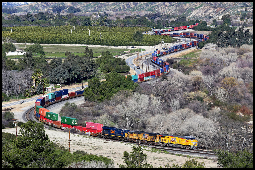
UP 2748

Sunset Valley I

Mill Creek and Storm III

Mill Creek Storm Sunset

Sunset Valley II

Lonely Planet

Banning Road

Lonely Tree

Only the Best

NS 8100

Mill Creek Heat

Bridge at Sunset

Bridge at Sunset

Emerging from the Fog

Laguna & others
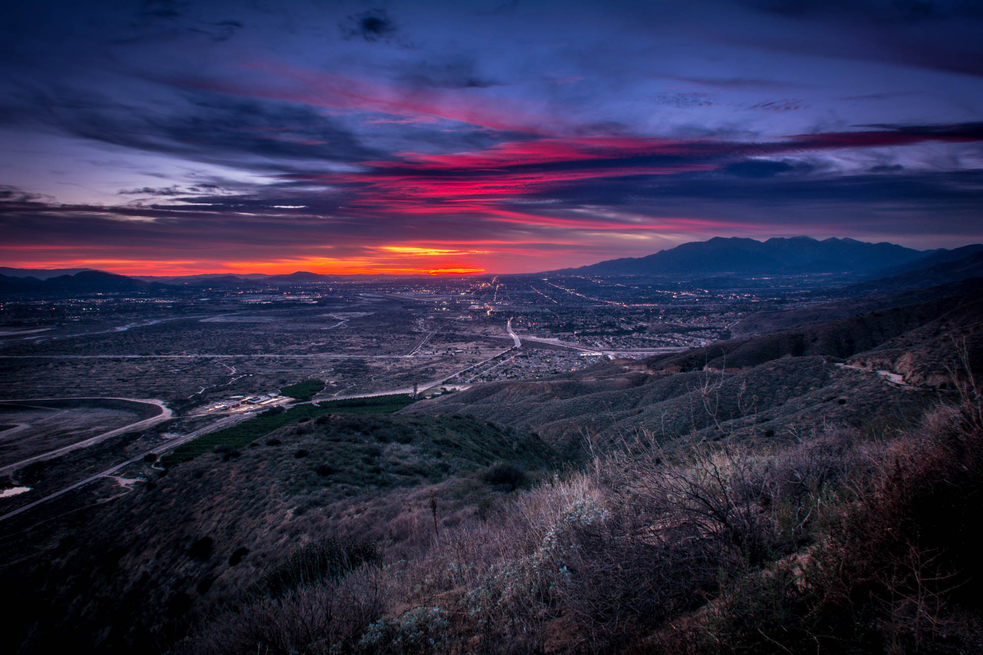
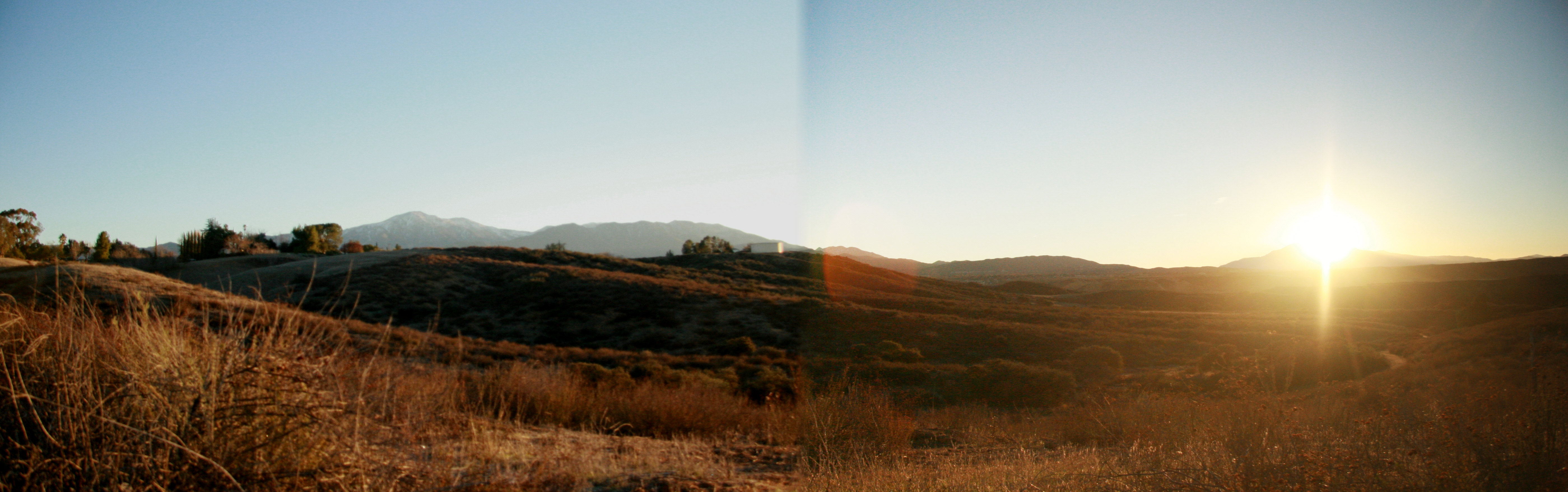
Late Winter Sunset - Highland, CA, USA

Westbound in Hwy 60 on Christmas Day

The Hard Side of Charli
MP Triple Nickles

Redlands Sunset
Autumn Sunrise at the Homestead 10-21

Patriot Tree

Mt. Baldy from Panorama Pt 3-9-14f

Clouds Over Mountains 2-16-14

Live Oak Farms, Pumpkins 12-9-12a

Morning Sun, Oakmont Park 6-16-13

First Color, Oak Glen, CA 10-13
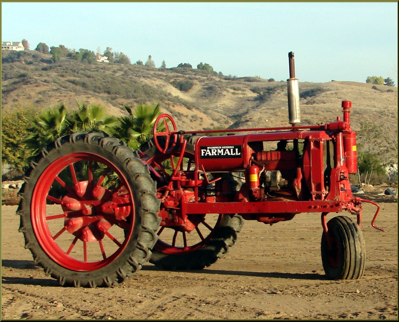
Live Oak Farms, Farmall 12-9-12d

Panorama Point, Redlands 6-15-13

Panorama, Live Oak Canyon 6-16-13a

Live Oak Farms, Wagon 12-9-12

Morning Haze on San Bernardinos 6-16-13

Bench, Oakmont Park 6-16-13

Live Oak Farms, Farmall 12-9-12

AwakeningTrees, Yucaipa, CA 3-13

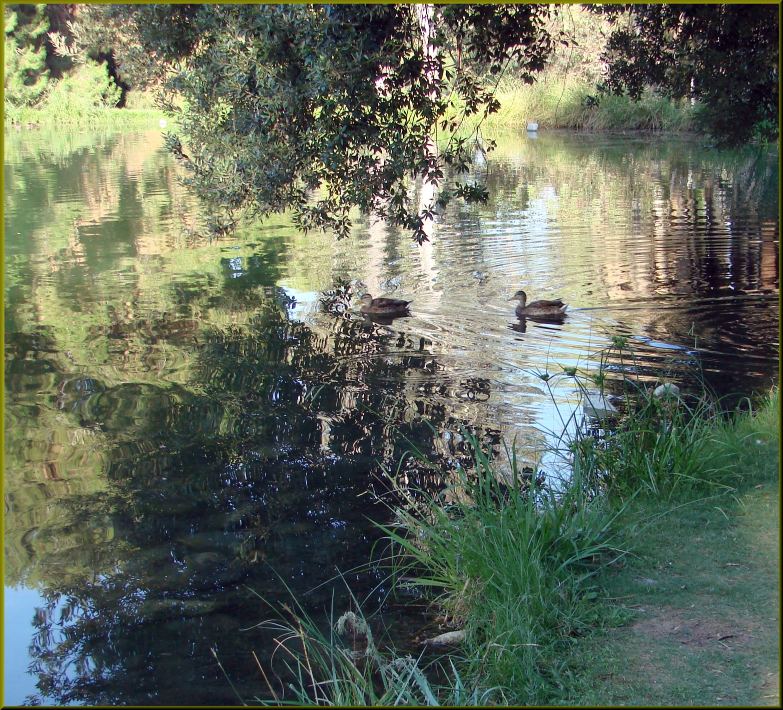
Live Oak Farms, Dog 12-9-12
Winter Solstice Sunrise 2012 stitch

Saturday's #sunrise at the summit of Mt. San Jacinto, near Palm Springs, Southern California's second-highest peak at 10,834 feet. We took the easiest route, 11-miles round trip from the aerial tramway station at 8,500 feet, starting at 3am from Round Val

Sunrise, Ranch in Live Oak Canyon 2-17-13

Live Oak Farms, Pumpkins 12-9-12
Ford Park, Sunrise Swim, Redlands, CA 7-12
Wildwood View Dr, Yucaipa, CA アメリカ合衆国の地図
別の場所を検索
近所の場所
Wildwood View Dr, Yucaipa, CA アメリカ合衆国
Oak View Rd, Yucaipa, CA アメリカ合衆国Oak View Road
Oak Mountain Dr, Yucaipa, CA アメリカ合衆国
Meadow View Ln, Yucaipa, CA アメリカ合衆国
Meadow View Ln, Yucaipa, CA アメリカ合衆国
Cherrywood Dr, Yucaipa, CA アメリカ合衆国
Cherrywood Dr, Yucaipa, CA アメリカ合衆国
Canyon Crest Rd, Yucaipa, CA アメリカ合衆国
Poplar Dr, Yucaipa, CA アメリカ合衆国
Ginger Tree Trail, Yucaipa, CA アメリカ合衆国
Serape Dr, Yucaipa, CA アメリカ合衆国
Pamela Ct, Yucaipa, CA アメリカ合衆国
Village Rd, Yucaipa, CA アメリカ合衆国
Leah Ln, Yucaipa, CA アメリカ合衆国
Bonita Dr, Cherry Valley, CA アメリカ合衆国
E County Line Rd, Calimesa, CA アメリカ合衆国
Cherrystone Ave, Cherry Valley, CA アメリカ合衆国
Holmes St, Calimesa, CA アメリカ合衆国
Grant St, Calimesa, CA アメリカ合衆国
Grant St, Yucaipa, CA アメリカ合衆国
最近の検索
- 6 Rue Jules Ferry, Beausoleil, France日の出日の入り時間
- スペイン 〒 ビスカヤ オチャンディオ日の出日の入り時間
- Sattva Horizon, 4JC6+G9P, Vinayak Nagar, Kattigenahalli, Bengaluru, Karnataka, India日の出日の入り時間
- 日本、〒- 静岡県富士宮市北山富士山日の出日の入り時間
- Laurel Rd, Townsend, TN アメリカ合衆国日の出日の入り時間
- 中華人民共和国 Guang Dong Sheng, Shen Zhen Shi, Long Gang Qu, 海滨南路GFPQ+R9Q 海浜南路日の出日の入り時間
- Redondo Ave, Long Beach, CA アメリカ合衆国日の出日の入り時間
- Ulitsa Kalinina, 79, Rezh, Sverdlovskaya oblast', ロシア日の出日の入り時間
- Leguwa ネパール日の出日の入り時間
- Shustino, Vladimir Oblast, ロシア日の出日の入り時間