アメリカ合衆国 〒 アイダホ州 ホワイト・バード日の出日の入り時間
Location: アメリカ合衆国 > アイダホ州 >
時間帯:
America/Los_Angeles
現地時間:
2024-04-29 07:54:44
経度:
-116.3006974
緯度:
45.7615508
今日の日の出時刻:
05:33:57 AM
今日の日の入時刻:
07:50:54 PM
今日の日長:
14h 16m 57s
明日の日の出時刻:
05:32:25 AM
明日の日の入時刻:
07:52:11 PM
明日の日長:
14h 19m 46s
すべて表示する
| 日付 | 日出 | 日没 | 日長 |
|---|---|---|---|
| 2024年01月01日 | 07:26:08 AM | 04:12:00 PM | 8h 45m 52s |
| 2024年01月02日 | 07:26:06 AM | 04:12:58 PM | 8h 46m 52s |
| 2024年01月03日 | 07:26:02 AM | 04:13:57 PM | 8h 47m 55s |
| 2024年01月04日 | 07:25:55 AM | 04:14:58 PM | 8h 49m 3s |
| 2024年01月05日 | 07:25:45 AM | 04:16:01 PM | 8h 50m 16s |
| 2024年01月06日 | 07:25:33 AM | 04:17:06 PM | 8h 51m 33s |
| 2024年01月07日 | 07:25:18 AM | 04:18:12 PM | 8h 52m 54s |
| 2024年01月08日 | 07:25:00 AM | 04:19:20 PM | 8h 54m 20s |
| 2024年01月09日 | 07:24:40 AM | 04:20:29 PM | 8h 55m 49s |
| 2024年01月10日 | 07:24:17 AM | 04:21:40 PM | 8h 57m 23s |
| 2024年01月11日 | 07:23:52 AM | 04:22:53 PM | 8h 59m 1s |
| 2024年01月12日 | 07:23:23 AM | 04:24:07 PM | 9h 0m 44s |
| 2024年01月13日 | 07:22:53 AM | 04:25:22 PM | 9h 2m 29s |
| 2024年01月14日 | 07:22:20 AM | 04:26:38 PM | 9h 4m 18s |
| 2024年01月15日 | 07:21:44 AM | 04:27:55 PM | 9h 6m 11s |
| 2024年01月16日 | 07:21:06 AM | 04:29:14 PM | 9h 8m 8s |
| 2024年01月17日 | 07:20:26 AM | 04:30:33 PM | 9h 10m 7s |
| 2024年01月18日 | 07:19:43 AM | 04:31:54 PM | 9h 12m 11s |
| 2024年01月19日 | 07:18:57 AM | 04:33:15 PM | 9h 14m 18s |
| 2024年01月20日 | 07:18:10 AM | 04:34:37 PM | 9h 16m 27s |
| 2024年01月21日 | 07:17:20 AM | 04:36:00 PM | 9h 18m 40s |
| 2024年01月22日 | 07:16:28 AM | 04:37:24 PM | 9h 20m 56s |
| 2024年01月23日 | 07:15:34 AM | 04:38:48 PM | 9h 23m 14s |
| 2024年01月24日 | 07:14:37 AM | 04:40:13 PM | 9h 25m 36s |
| 2024年01月25日 | 07:13:38 AM | 04:41:39 PM | 9h 28m 1s |
| 2024年01月26日 | 07:12:38 AM | 04:43:05 PM | 9h 30m 27s |
| 2024年01月27日 | 07:11:35 AM | 04:44:31 PM | 9h 32m 56s |
| 2024年01月28日 | 07:10:30 AM | 04:45:58 PM | 9h 35m 28s |
| 2024年01月29日 | 07:09:23 AM | 04:47:26 PM | 9h 38m 3s |
| 2024年01月30日 | 07:08:14 AM | 04:48:53 PM | 9h 40m 39s |
| 2024年01月31日 | 07:07:04 AM | 04:50:21 PM | 9h 43m 17s |
| 2024年02月01日 | 07:05:51 AM | 04:51:49 PM | 9h 45m 58s |
| 2024年02月02日 | 07:04:37 AM | 04:53:17 PM | 9h 48m 40s |
| 2024年02月03日 | 07:03:21 AM | 04:54:45 PM | 9h 51m 24s |
| 2024年02月04日 | 07:02:03 AM | 04:56:14 PM | 9h 54m 11s |
| 2024年02月05日 | 07:00:44 AM | 04:57:42 PM | 9h 56m 58s |
| 2024年02月06日 | 06:59:23 AM | 04:59:11 PM | 9h 59m 48s |
| 2024年02月07日 | 06:58:00 AM | 05:00:39 PM | 10h 2m 39s |
| 2024年02月08日 | 06:56:36 AM | 05:02:07 PM | 10h 5m 31s |
| 2024年02月09日 | 06:55:10 AM | 05:03:36 PM | 10h 8m 26s |
| 2024年02月10日 | 06:53:43 AM | 05:05:04 PM | 10h 11m 21s |
| 2024年02月11日 | 06:52:14 AM | 05:06:32 PM | 10h 14m 18s |
| 2024年02月12日 | 06:50:44 AM | 05:08:00 PM | 10h 17m 16s |
| 2024年02月13日 | 06:49:13 AM | 05:09:28 PM | 10h 20m 15s |
| 2024年02月14日 | 06:47:40 AM | 05:10:56 PM | 10h 23m 16s |
| 2024年02月15日 | 06:46:06 AM | 05:12:24 PM | 10h 26m 18s |
| 2024年02月16日 | 06:44:31 AM | 05:13:51 PM | 10h 29m 20s |
| 2024年02月17日 | 06:42:55 AM | 05:15:18 PM | 10h 32m 23s |
| 2024年02月18日 | 06:41:18 AM | 05:16:45 PM | 10h 35m 27s |
| 2024年02月19日 | 06:39:39 AM | 05:18:12 PM | 10h 38m 33s |
| 2024年02月20日 | 06:37:59 AM | 05:19:38 PM | 10h 41m 39s |
| 2024年02月21日 | 06:36:19 AM | 05:21:05 PM | 10h 44m 46s |
| 2024年02月22日 | 06:34:37 AM | 05:22:31 PM | 10h 47m 54s |
| 2024年02月23日 | 06:32:54 AM | 05:23:56 PM | 10h 51m 2s |
| 2024年02月24日 | 06:31:11 AM | 05:25:22 PM | 10h 54m 11s |
| 2024年02月25日 | 06:29:27 AM | 05:26:47 PM | 10h 57m 20s |
| 2024年02月26日 | 06:27:41 AM | 05:28:12 PM | 11h 0m 31s |
| 2024年02月27日 | 06:25:55 AM | 05:29:36 PM | 11h 3m 41s |
| 2024年02月28日 | 06:24:08 AM | 05:31:00 PM | 11h 6m 52s |
| 2024年02月29日 | 06:22:21 AM | 05:32:24 PM | 11h 10m 3s |
| 2024年03月01日 | 06:20:33 AM | 05:33:48 PM | 11h 13m 15s |
| 2024年03月02日 | 06:18:44 AM | 05:35:11 PM | 11h 16m 27s |
| 2024年03月03日 | 06:16:54 AM | 05:36:35 PM | 11h 19m 41s |
| 2024年03月04日 | 06:15:04 AM | 05:37:57 PM | 11h 22m 53s |
| 2024年03月05日 | 06:13:13 AM | 05:39:20 PM | 11h 26m 7s |
| 2024年03月06日 | 06:11:22 AM | 05:40:42 PM | 11h 29m 20s |
| 2024年03月07日 | 06:09:30 AM | 05:42:05 PM | 11h 32m 35s |
| 2024年03月08日 | 06:07:38 AM | 05:43:26 PM | 11h 35m 48s |
| 2024年03月09日 | 06:05:46 AM | 05:44:48 PM | 11h 39m 2s |
| 2024年03月10日 | 07:03:57 AM | 06:46:06 PM | 11h 42m 9s |
| 2024年03月11日 | 07:02:04 AM | 06:47:27 PM | 11h 45m 23s |
| 2024年03月12日 | 07:00:10 AM | 06:48:48 PM | 11h 48m 38s |
| 2024年03月13日 | 06:58:16 AM | 06:50:09 PM | 11h 51m 53s |
| 2024年03月14日 | 06:56:22 AM | 06:51:29 PM | 11h 55m 7s |
| 2024年03月15日 | 06:54:27 AM | 06:52:50 PM | 11h 58m 23s |
| 2024年03月16日 | 06:52:33 AM | 06:54:10 PM | 12h 1m 37s |
| 2024年03月17日 | 06:50:38 AM | 06:55:30 PM | 12h 4m 52s |
| 2024年03月18日 | 06:48:43 AM | 06:56:50 PM | 12h 8m 7s |
| 2024年03月19日 | 06:46:48 AM | 06:58:09 PM | 12h 11m 21s |
| 2024年03月20日 | 06:44:52 AM | 06:59:29 PM | 12h 14m 37s |
| 2024年03月21日 | 06:42:57 AM | 07:00:48 PM | 12h 17m 51s |
| 2024年03月22日 | 06:41:02 AM | 07:02:07 PM | 12h 21m 5s |
| 2024年03月23日 | 06:39:07 AM | 07:03:27 PM | 12h 24m 20s |
| 2024年03月24日 | 06:37:11 AM | 07:04:46 PM | 12h 27m 35s |
| 2024年03月25日 | 06:35:16 AM | 07:06:05 PM | 12h 30m 49s |
| 2024年03月26日 | 06:33:21 AM | 07:07:23 PM | 12h 34m 2s |
| 2024年03月27日 | 06:31:26 AM | 07:08:42 PM | 12h 37m 16s |
| 2024年03月28日 | 06:29:31 AM | 07:10:01 PM | 12h 40m 30s |
| 2024年03月29日 | 06:27:37 AM | 07:11:19 PM | 12h 43m 42s |
| 2024年03月30日 | 06:25:42 AM | 07:12:38 PM | 12h 46m 56s |
| 2024年03月31日 | 06:23:48 AM | 07:13:57 PM | 12h 50m 9s |
| 2024年04月01日 | 06:21:55 AM | 07:15:15 PM | 12h 53m 20s |
| 2024年04月02日 | 06:20:01 AM | 07:16:34 PM | 12h 56m 33s |
| 2024年04月03日 | 06:18:08 AM | 07:17:52 PM | 12h 59m 44s |
| 2024年04月04日 | 06:16:15 AM | 07:19:10 PM | 13h 2m 55s |
| 2024年04月05日 | 06:14:23 AM | 07:20:29 PM | 13h 6m 6s |
| 2024年04月06日 | 06:12:31 AM | 07:21:47 PM | 13h 9m 16s |
| 2024年04月07日 | 06:10:40 AM | 07:23:06 PM | 13h 12m 26s |
| 2024年04月08日 | 06:08:49 AM | 07:24:24 PM | 13h 15m 35s |
| 2024年04月09日 | 06:06:59 AM | 07:25:42 PM | 13h 18m 43s |
| 2024年04月10日 | 06:05:09 AM | 07:27:01 PM | 13h 21m 52s |
| 2024年04月11日 | 06:03:20 AM | 07:28:19 PM | 13h 24m 59s |
| 2024年04月12日 | 06:01:31 AM | 07:29:37 PM | 13h 28m 6s |
| 2024年04月13日 | 05:59:43 AM | 07:30:56 PM | 13h 31m 13s |
| 2024年04月14日 | 05:57:56 AM | 07:32:14 PM | 13h 34m 18s |
| 2024年04月15日 | 05:56:10 AM | 07:33:32 PM | 13h 37m 22s |
| 2024年04月16日 | 05:54:24 AM | 07:34:51 PM | 13h 40m 27s |
| 2024年04月17日 | 05:52:40 AM | 07:36:09 PM | 13h 43m 29s |
| 2024年04月18日 | 05:50:56 AM | 07:37:27 PM | 13h 46m 31s |
| 2024年04月19日 | 05:49:13 AM | 07:38:45 PM | 13h 49m 32s |
| 2024年04月20日 | 05:47:31 AM | 07:40:03 PM | 13h 52m 32s |
| 2024年04月21日 | 05:45:50 AM | 07:41:21 PM | 13h 55m 31s |
| 2024年04月22日 | 05:44:09 AM | 07:42:39 PM | 13h 58m 30s |
| 2024年04月23日 | 05:42:30 AM | 07:43:57 PM | 14h 1m 27s |
| 2024年04月24日 | 05:40:52 AM | 07:45:15 PM | 14h 4m 23s |
| 2024年04月25日 | 05:39:15 AM | 07:46:33 PM | 14h 7m 18s |
| 2024年04月26日 | 05:37:39 AM | 07:47:51 PM | 14h 10m 12s |
| 2024年04月27日 | 05:36:05 AM | 07:49:08 PM | 14h 13m 3s |
| 2024年04月28日 | 05:34:31 AM | 07:50:25 PM | 14h 15m 54s |
| 2024年04月29日 | 05:32:59 AM | 07:51:42 PM | 14h 18m 43s |
| 2024年04月30日 | 05:31:28 AM | 07:52:59 PM | 14h 21m 31s |
| 2024年05月01日 | 05:29:58 AM | 07:54:16 PM | 14h 24m 18s |
| 2024年05月02日 | 05:28:30 AM | 07:55:32 PM | 14h 27m 2s |
| 2024年05月03日 | 05:27:03 AM | 07:56:49 PM | 14h 29m 46s |
| 2024年05月04日 | 05:25:38 AM | 07:58:04 PM | 14h 32m 26s |
| 2024年05月05日 | 05:24:14 AM | 07:59:20 PM | 14h 35m 6s |
| 2024年05月06日 | 05:22:51 AM | 08:00:35 PM | 14h 37m 44s |
| 2024年05月07日 | 05:21:30 AM | 08:01:50 PM | 14h 40m 20s |
| 2024年05月08日 | 05:20:11 AM | 08:03:04 PM | 14h 42m 53s |
| 2024年05月09日 | 05:18:53 AM | 08:04:18 PM | 14h 45m 25s |
| 2024年05月10日 | 05:17:37 AM | 08:05:31 PM | 14h 47m 54s |
| 2024年05月11日 | 05:16:23 AM | 08:06:44 PM | 14h 50m 21s |
| 2024年05月12日 | 05:15:10 AM | 08:07:56 PM | 14h 52m 46s |
| 2024年05月13日 | 05:13:59 AM | 08:09:07 PM | 14h 55m 8s |
| 2024年05月14日 | 05:12:50 AM | 08:10:18 PM | 14h 57m 28s |
| 2024年05月15日 | 05:11:43 AM | 08:11:28 PM | 14h 59m 45s |
| 2024年05月16日 | 05:10:37 AM | 08:12:38 PM | 15h 2m 1s |
| 2024年05月17日 | 05:09:34 AM | 08:13:46 PM | 15h 4m 12s |
| 2024年05月18日 | 05:08:32 AM | 08:14:54 PM | 15h 6m 22s |
| 2024年05月19日 | 05:07:33 AM | 08:16:01 PM | 15h 8m 28s |
| 2024年05月20日 | 05:06:35 AM | 08:17:07 PM | 15h 10m 32s |
| 2024年05月21日 | 05:05:40 AM | 08:18:12 PM | 15h 12m 32s |
| 2024年05月22日 | 05:04:46 AM | 08:19:15 PM | 15h 14m 29s |
| 2024年05月23日 | 05:03:55 AM | 08:20:18 PM | 15h 16m 23s |
| 2024年05月24日 | 05:03:06 AM | 08:21:20 PM | 15h 18m 14s |
| 2024年05月25日 | 05:02:19 AM | 08:22:20 PM | 15h 20m 1s |
| 2024年05月26日 | 05:01:34 AM | 08:23:19 PM | 15h 21m 45s |
| 2024年05月27日 | 05:00:51 AM | 08:24:17 PM | 15h 23m 26s |
| 2024年05月28日 | 05:00:11 AM | 08:25:14 PM | 15h 25m 3s |
| 2024年05月29日 | 04:59:33 AM | 08:26:09 PM | 15h 26m 36s |
| 2024年05月30日 | 04:58:57 AM | 08:27:03 PM | 15h 28m 6s |
| 2024年05月31日 | 04:58:23 AM | 08:27:55 PM | 15h 29m 32s |
| 2024年06月01日 | 04:57:52 AM | 08:28:46 PM | 15h 30m 54s |
| 2024年06月02日 | 04:57:23 AM | 08:29:35 PM | 15h 32m 12s |
| 2024年06月03日 | 04:56:56 AM | 08:30:22 PM | 15h 33m 26s |
| 2024年06月04日 | 04:56:32 AM | 08:31:08 PM | 15h 34m 36s |
| 2024年06月05日 | 04:56:10 AM | 08:31:51 PM | 15h 35m 41s |
| 2024年06月06日 | 04:55:51 AM | 08:32:34 PM | 15h 36m 43s |
| 2024年06月07日 | 04:55:34 AM | 08:33:14 PM | 15h 37m 40s |
| 2024年06月08日 | 04:55:19 AM | 08:33:52 PM | 15h 38m 33s |
| 2024年06月09日 | 04:55:07 AM | 08:34:28 PM | 15h 39m 21s |
| 2024年06月10日 | 04:54:57 AM | 08:35:03 PM | 15h 40m 6s |
| 2024年06月11日 | 04:54:50 AM | 08:35:35 PM | 15h 40m 45s |
| 2024年06月12日 | 04:54:45 AM | 08:36:05 PM | 15h 41m 20s |
| 2024年06月13日 | 04:54:42 AM | 08:36:34 PM | 15h 41m 52s |
| 2024年06月14日 | 04:54:42 AM | 08:37:00 PM | 15h 42m 18s |
| 2024年06月15日 | 04:54:44 AM | 08:37:24 PM | 15h 42m 40s |
| 2024年06月16日 | 04:54:48 AM | 08:37:45 PM | 15h 42m 57s |
| 2024年06月17日 | 04:54:55 AM | 08:38:04 PM | 15h 43m 9s |
| 2024年06月18日 | 04:55:04 AM | 08:38:22 PM | 15h 43m 18s |
| 2024年06月19日 | 04:55:15 AM | 08:38:36 PM | 15h 43m 21s |
| 2024年06月20日 | 04:55:29 AM | 08:38:49 PM | 15h 43m 20s |
| 2024年06月21日 | 04:55:45 AM | 08:38:59 PM | 15h 43m 14s |
| 2024年06月22日 | 04:56:03 AM | 08:39:07 PM | 15h 43m 4s |
| 2024年06月23日 | 04:56:23 AM | 08:39:12 PM | 15h 42m 49s |
| 2024年06月24日 | 04:56:46 AM | 08:39:15 PM | 15h 42m 29s |
| 2024年06月25日 | 04:57:10 AM | 08:39:16 PM | 15h 42m 6s |
| 2024年06月26日 | 04:57:37 AM | 08:39:14 PM | 15h 41m 37s |
| 2024年06月27日 | 04:58:06 AM | 08:39:09 PM | 15h 41m 3s |
| 2024年06月28日 | 04:58:37 AM | 08:39:03 PM | 15h 40m 26s |
| 2024年06月29日 | 04:59:09 AM | 08:38:53 PM | 15h 39m 44s |
| 2024年06月30日 | 04:59:44 AM | 08:38:42 PM | 15h 38m 58s |
| 2024年07月01日 | 05:00:21 AM | 08:38:28 PM | 15h 38m 7s |
| 2024年07月02日 | 05:00:59 AM | 08:38:11 PM | 15h 37m 12s |
| 2024年07月03日 | 05:01:39 AM | 08:37:52 PM | 15h 36m 13s |
| 2024年07月04日 | 05:02:21 AM | 08:37:31 PM | 15h 35m 10s |
| 2024年07月05日 | 05:03:05 AM | 08:37:07 PM | 15h 34m 2s |
| 2024年07月06日 | 05:03:50 AM | 08:36:41 PM | 15h 32m 51s |
| 2024年07月07日 | 05:04:37 AM | 08:36:12 PM | 15h 31m 35s |
| 2024年07月08日 | 05:05:25 AM | 08:35:41 PM | 15h 30m 16s |
| 2024年07月09日 | 05:06:15 AM | 08:35:08 PM | 15h 28m 53s |
| 2024年07月10日 | 05:07:07 AM | 08:34:32 PM | 15h 27m 25s |
| 2024年07月11日 | 05:07:59 AM | 08:33:54 PM | 15h 25m 55s |
| 2024年07月12日 | 05:08:54 AM | 08:33:14 PM | 15h 24m 20s |
| 2024年07月13日 | 05:09:49 AM | 08:32:31 PM | 15h 22m 42s |
| 2024年07月14日 | 05:10:46 AM | 08:31:46 PM | 15h 21m 0s |
| 2024年07月15日 | 05:11:44 AM | 08:30:59 PM | 15h 19m 15s |
| 2024年07月16日 | 05:12:42 AM | 08:30:10 PM | 15h 17m 28s |
| 2024年07月17日 | 05:13:43 AM | 08:29:19 PM | 15h 15m 36s |
| 2024年07月18日 | 05:14:44 AM | 08:28:25 PM | 15h 13m 41s |
| 2024年07月19日 | 05:15:46 AM | 08:27:30 PM | 15h 11m 44s |
| 2024年07月20日 | 05:16:49 AM | 08:26:32 PM | 15h 9m 43s |
| 2024年07月21日 | 05:17:53 AM | 08:25:32 PM | 15h 7m 39s |
| 2024年07月22日 | 05:18:58 AM | 08:24:31 PM | 15h 5m 33s |
| 2024年07月23日 | 05:20:03 AM | 08:23:27 PM | 15h 3m 24s |
| 2024年07月24日 | 05:21:09 AM | 08:22:21 PM | 15h 1m 12s |
| 2024年07月25日 | 05:22:16 AM | 08:21:14 PM | 14h 58m 58s |
| 2024年07月26日 | 05:23:24 AM | 08:20:04 PM | 14h 56m 40s |
| 2024年07月27日 | 05:24:32 AM | 08:18:53 PM | 14h 54m 21s |
| 2024年07月28日 | 05:25:41 AM | 08:17:40 PM | 14h 51m 59s |
| 2024年07月29日 | 05:26:51 AM | 08:16:25 PM | 14h 49m 34s |
| 2024年07月30日 | 05:28:01 AM | 08:15:09 PM | 14h 47m 8s |
| 2024年07月31日 | 05:29:11 AM | 08:13:51 PM | 14h 44m 40s |
| 2024年08月01日 | 05:30:22 AM | 08:12:31 PM | 14h 42m 9s |
| 2024年08月02日 | 05:31:33 AM | 08:11:09 PM | 14h 39m 36s |
| 2024年08月03日 | 05:32:45 AM | 08:09:46 PM | 14h 37m 1s |
| 2024年08月04日 | 05:33:56 AM | 08:08:22 PM | 14h 34m 26s |
| 2024年08月05日 | 05:35:09 AM | 08:06:56 PM | 14h 31m 47s |
| 2024年08月06日 | 05:36:21 AM | 08:05:28 PM | 14h 29m 7s |
| 2024年08月07日 | 05:37:34 AM | 08:04:00 PM | 14h 26m 26s |
| 2024年08月08日 | 05:38:47 AM | 08:02:29 PM | 14h 23m 42s |
| 2024年08月09日 | 05:40:00 AM | 08:00:58 PM | 14h 20m 58s |
| 2024年08月10日 | 05:41:13 AM | 07:59:25 PM | 14h 18m 12s |
| 2024年08月11日 | 05:42:27 AM | 07:57:51 PM | 14h 15m 24s |
| 2024年08月12日 | 05:43:40 AM | 07:56:15 PM | 14h 12m 35s |
| 2024年08月13日 | 05:44:54 AM | 07:54:39 PM | 14h 9m 45s |
| 2024年08月14日 | 05:46:07 AM | 07:53:01 PM | 14h 6m 54s |
| 2024年08月15日 | 05:47:21 AM | 07:51:22 PM | 14h 4m 1s |
| 2024年08月16日 | 05:48:35 AM | 07:49:42 PM | 14h 1m 7s |
| 2024年08月17日 | 05:49:49 AM | 07:48:01 PM | 13h 58m 12s |
| 2024年08月18日 | 05:51:03 AM | 07:46:19 PM | 13h 55m 16s |
| 2024年08月19日 | 05:52:17 AM | 07:44:36 PM | 13h 52m 19s |
| 2024年08月20日 | 05:53:31 AM | 07:42:52 PM | 13h 49m 21s |
| 2024年08月21日 | 05:54:45 AM | 07:41:07 PM | 13h 46m 22s |
| 2024年08月22日 | 05:55:59 AM | 07:39:22 PM | 13h 43m 23s |
| 2024年08月23日 | 05:57:13 AM | 07:37:35 PM | 13h 40m 22s |
| 2024年08月24日 | 05:58:27 AM | 07:35:48 PM | 13h 37m 21s |
| 2024年08月25日 | 05:59:41 AM | 07:34:00 PM | 13h 34m 19s |
| 2024年08月26日 | 06:00:55 AM | 07:32:11 PM | 13h 31m 16s |
| 2024年08月27日 | 06:02:09 AM | 07:30:21 PM | 13h 28m 12s |
| 2024年08月28日 | 06:03:23 AM | 07:28:31 PM | 13h 25m 8s |
| 2024年08月29日 | 06:04:37 AM | 07:26:40 PM | 13h 22m 3s |
| 2024年08月30日 | 06:05:50 AM | 07:24:48 PM | 13h 18m 58s |
| 2024年08月31日 | 06:07:04 AM | 07:22:56 PM | 13h 15m 52s |
| 2024年09月01日 | 06:08:18 AM | 07:21:04 PM | 13h 12m 46s |
| 2024年09月02日 | 06:09:32 AM | 07:19:11 PM | 13h 9m 39s |
| 2024年09月03日 | 06:10:46 AM | 07:17:17 PM | 13h 6m 31s |
| 2024年09月04日 | 06:11:59 AM | 07:15:23 PM | 13h 3m 24s |
| 2024年09月05日 | 06:13:13 AM | 07:13:28 PM | 13h 0m 15s |
| 2024年09月06日 | 06:14:27 AM | 07:11:34 PM | 12h 57m 7s |
| 2024年09月07日 | 06:15:41 AM | 07:09:38 PM | 12h 53m 57s |
| 2024年09月08日 | 06:16:54 AM | 07:07:43 PM | 12h 50m 49s |
| 2024年09月09日 | 06:18:08 AM | 07:05:47 PM | 12h 47m 39s |
| 2024年09月10日 | 06:19:22 AM | 07:03:51 PM | 12h 44m 29s |
| 2024年09月11日 | 06:20:36 AM | 07:01:54 PM | 12h 41m 18s |
| 2024年09月12日 | 06:21:50 AM | 06:59:58 PM | 12h 38m 8s |
| 2024年09月13日 | 06:23:04 AM | 06:58:01 PM | 12h 34m 57s |
| 2024年09月14日 | 06:24:18 AM | 06:56:04 PM | 12h 31m 46s |
| 2024年09月15日 | 06:25:32 AM | 06:54:07 PM | 12h 28m 35s |
| 2024年09月16日 | 06:26:46 AM | 06:52:10 PM | 12h 25m 24s |
| 2024年09月17日 | 06:28:00 AM | 06:50:13 PM | 12h 22m 13s |
| 2024年09月18日 | 06:29:15 AM | 06:48:16 PM | 12h 19m 1s |
| 2024年09月19日 | 06:30:29 AM | 06:46:19 PM | 12h 15m 50s |
| 2024年09月20日 | 06:31:44 AM | 06:44:22 PM | 12h 12m 38s |
| 2024年09月21日 | 06:32:59 AM | 06:42:25 PM | 12h 9m 26s |
| 2024年09月22日 | 06:34:13 AM | 06:40:28 PM | 12h 6m 15s |
| 2024年09月23日 | 06:35:29 AM | 06:38:31 PM | 12h 3m 2s |
| 2024年09月24日 | 06:36:44 AM | 06:36:34 PM | 11h 59m 50s |
| 2024年09月25日 | 06:37:59 AM | 06:34:38 PM | 11h 56m 39s |
| 2024年09月26日 | 06:39:15 AM | 06:32:41 PM | 11h 53m 26s |
| 2024年09月27日 | 06:40:31 AM | 06:30:45 PM | 11h 50m 14s |
| 2024年09月28日 | 06:41:47 AM | 06:28:50 PM | 11h 47m 3s |
| 2024年09月29日 | 06:43:03 AM | 06:26:54 PM | 11h 43m 51s |
| 2024年09月30日 | 06:44:19 AM | 06:24:59 PM | 11h 40m 40s |
| 2024年10月01日 | 06:45:36 AM | 06:23:05 PM | 11h 37m 29s |
| 2024年10月02日 | 06:46:53 AM | 06:21:10 PM | 11h 34m 17s |
| 2024年10月03日 | 06:48:10 AM | 06:19:16 PM | 11h 31m 6s |
| 2024年10月04日 | 06:49:27 AM | 06:17:23 PM | 11h 27m 56s |
| 2024年10月05日 | 06:50:45 AM | 06:15:30 PM | 11h 24m 45s |
| 2024年10月06日 | 06:52:03 AM | 06:13:38 PM | 11h 21m 35s |
| 2024年10月07日 | 06:53:21 AM | 06:11:46 PM | 11h 18m 25s |
| 2024年10月08日 | 06:54:40 AM | 06:09:55 PM | 11h 15m 15s |
| 2024年10月09日 | 06:55:59 AM | 06:08:04 PM | 11h 12m 5s |
| 2024年10月10日 | 06:57:18 AM | 06:06:14 PM | 11h 8m 56s |
| 2024年10月11日 | 06:58:38 AM | 06:04:25 PM | 11h 5m 47s |
| 2024年10月12日 | 06:59:57 AM | 06:02:37 PM | 11h 2m 40s |
| 2024年10月13日 | 07:01:17 AM | 06:00:49 PM | 10h 59m 32s |
| 2024年10月14日 | 07:02:38 AM | 05:59:02 PM | 10h 56m 24s |
| 2024年10月15日 | 07:03:58 AM | 05:57:16 PM | 10h 53m 18s |
| 2024年10月16日 | 07:05:19 AM | 05:55:31 PM | 10h 50m 12s |
| 2024年10月17日 | 07:06:41 AM | 05:53:47 PM | 10h 47m 6s |
| 2024年10月18日 | 07:08:02 AM | 05:52:04 PM | 10h 44m 2s |
| 2024年10月19日 | 07:09:24 AM | 05:50:22 PM | 10h 40m 58s |
| 2024年10月20日 | 07:10:46 AM | 05:48:40 PM | 10h 37m 54s |
| 2024年10月21日 | 07:12:09 AM | 05:47:00 PM | 10h 34m 51s |
| 2024年10月22日 | 07:13:31 AM | 05:45:21 PM | 10h 31m 50s |
| 2024年10月23日 | 07:14:54 AM | 05:43:43 PM | 10h 28m 49s |
| 2024年10月24日 | 07:16:18 AM | 05:42:06 PM | 10h 25m 48s |
| 2024年10月25日 | 07:17:41 AM | 05:40:31 PM | 10h 22m 50s |
| 2024年10月26日 | 07:19:05 AM | 05:38:56 PM | 10h 19m 51s |
| 2024年10月27日 | 07:20:29 AM | 05:37:23 PM | 10h 16m 54s |
| 2024年10月28日 | 07:21:53 AM | 05:35:52 PM | 10h 13m 59s |
| 2024年10月29日 | 07:23:17 AM | 05:34:22 PM | 10h 11m 5s |
| 2024年10月30日 | 07:24:42 AM | 05:32:53 PM | 10h 8m 11s |
| 2024年10月31日 | 07:26:06 AM | 05:31:25 PM | 10h 5m 19s |
| 2024年11月01日 | 07:27:31 AM | 05:29:59 PM | 10h 2m 28s |
| 2024年11月02日 | 07:28:56 AM | 05:28:35 PM | 9h 59m 39s |
| 2024年11月03日 | 06:30:24 AM | 04:27:09 PM | 9h 56m 45s |
| 2024年11月04日 | 06:31:49 AM | 04:25:48 PM | 9h 53m 59s |
| 2024年11月05日 | 06:33:14 AM | 04:24:28 PM | 9h 51m 14s |
| 2024年11月06日 | 06:34:39 AM | 04:23:11 PM | 9h 48m 32s |
| 2024年11月07日 | 06:36:03 AM | 04:21:55 PM | 9h 45m 52s |
| 2024年11月08日 | 06:37:28 AM | 04:20:41 PM | 9h 43m 13s |
| 2024年11月09日 | 06:38:52 AM | 04:19:29 PM | 9h 40m 37s |
| 2024年11月10日 | 06:40:17 AM | 04:18:18 PM | 9h 38m 1s |
| 2024年11月11日 | 06:41:41 AM | 04:17:10 PM | 9h 35m 29s |
| 2024年11月12日 | 06:43:04 AM | 04:16:03 PM | 9h 32m 59s |
| 2024年11月13日 | 06:44:28 AM | 04:14:59 PM | 9h 30m 31s |
| 2024年11月14日 | 06:45:51 AM | 04:13:56 PM | 9h 28m 5s |
| 2024年11月15日 | 06:47:14 AM | 04:12:56 PM | 9h 25m 42s |
| 2024年11月16日 | 06:48:36 AM | 04:11:58 PM | 9h 23m 22s |
| 2024年11月17日 | 06:49:58 AM | 04:11:02 PM | 9h 21m 4s |
| 2024年11月18日 | 06:51:19 AM | 04:10:08 PM | 9h 18m 49s |
| 2024年11月19日 | 06:52:39 AM | 04:09:17 PM | 9h 16m 38s |
| 2024年11月20日 | 06:53:59 AM | 04:08:27 PM | 9h 14m 28s |
| 2024年11月21日 | 06:55:18 AM | 04:07:40 PM | 9h 12m 22s |
| 2024年11月22日 | 06:56:36 AM | 04:06:56 PM | 9h 10m 20s |
| 2024年11月23日 | 06:57:54 AM | 04:06:14 PM | 9h 8m 20s |
| 2024年11月24日 | 06:59:10 AM | 04:05:34 PM | 9h 6m 24s |
| 2024年11月25日 | 07:00:26 AM | 04:04:57 PM | 9h 4m 31s |
| 2024年11月26日 | 07:01:40 AM | 04:04:22 PM | 9h 2m 42s |
| 2024年11月27日 | 07:02:53 AM | 04:03:50 PM | 9h 0m 57s |
| 2024年11月28日 | 07:04:06 AM | 04:03:20 PM | 8h 59m 14s |
| 2024年11月29日 | 07:05:16 AM | 04:02:53 PM | 8h 57m 37s |
| 2024年11月30日 | 07:06:26 AM | 04:02:29 PM | 8h 56m 3s |
| 2024年12月01日 | 07:07:34 AM | 04:02:07 PM | 8h 54m 33s |
| 2024年12月02日 | 07:08:41 AM | 04:01:48 PM | 8h 53m 7s |
| 2024年12月03日 | 07:09:46 AM | 04:01:32 PM | 8h 51m 46s |
| 2024年12月04日 | 07:10:50 AM | 04:01:18 PM | 8h 50m 28s |
| 2024年12月05日 | 07:11:52 AM | 04:01:07 PM | 8h 49m 15s |
| 2024年12月06日 | 07:12:52 AM | 04:00:59 PM | 8h 48m 7s |
| 2024年12月07日 | 07:13:51 AM | 04:00:53 PM | 8h 47m 2s |
| 2024年12月08日 | 07:14:47 AM | 04:00:50 PM | 8h 46m 3s |
| 2024年12月09日 | 07:15:42 AM | 04:00:50 PM | 8h 45m 8s |
| 2024年12月10日 | 07:16:35 AM | 04:00:52 PM | 8h 44m 17s |
| 2024年12月11日 | 07:17:26 AM | 04:00:58 PM | 8h 43m 32s |
| 2024年12月12日 | 07:18:14 AM | 04:01:06 PM | 8h 42m 52s |
| 2024年12月13日 | 07:19:01 AM | 04:01:17 PM | 8h 42m 16s |
| 2024年12月14日 | 07:19:45 AM | 04:01:30 PM | 8h 41m 45s |
| 2024年12月15日 | 07:20:28 AM | 04:01:46 PM | 8h 41m 18s |
| 2024年12月16日 | 07:21:08 AM | 04:02:05 PM | 8h 40m 57s |
| 2024年12月17日 | 07:21:45 AM | 04:02:26 PM | 8h 40m 41s |
| 2024年12月18日 | 07:22:20 AM | 04:02:50 PM | 8h 40m 30s |
| 2024年12月19日 | 07:22:53 AM | 04:03:17 PM | 8h 40m 24s |
| 2024年12月20日 | 07:23:24 AM | 04:03:46 PM | 8h 40m 22s |
| 2024年12月21日 | 07:23:51 AM | 04:04:18 PM | 8h 40m 27s |
| 2024年12月22日 | 07:24:17 AM | 04:04:53 PM | 8h 40m 36s |
| 2024年12月23日 | 07:24:40 AM | 04:05:29 PM | 8h 40m 49s |
| 2024年12月24日 | 07:25:00 AM | 04:06:09 PM | 8h 41m 9s |
| 2024年12月25日 | 07:25:18 AM | 04:06:50 PM | 8h 41m 32s |
| 2024年12月26日 | 07:25:33 AM | 04:07:34 PM | 8h 42m 1s |
| 2024年12月27日 | 07:25:45 AM | 04:08:20 PM | 8h 42m 35s |
| 2024年12月28日 | 07:25:55 AM | 04:09:09 PM | 8h 43m 14s |
| 2024年12月29日 | 07:26:02 AM | 04:09:59 PM | 8h 43m 57s |
| 2024年12月30日 | 07:26:06 AM | 04:10:52 PM | 8h 44m 46s |
写真

Sunrise at Cindy & Jay's

Beyond earlier limits

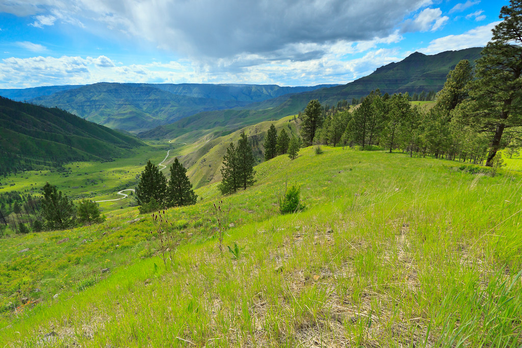
Old hwy 95 - White Bird Hill road

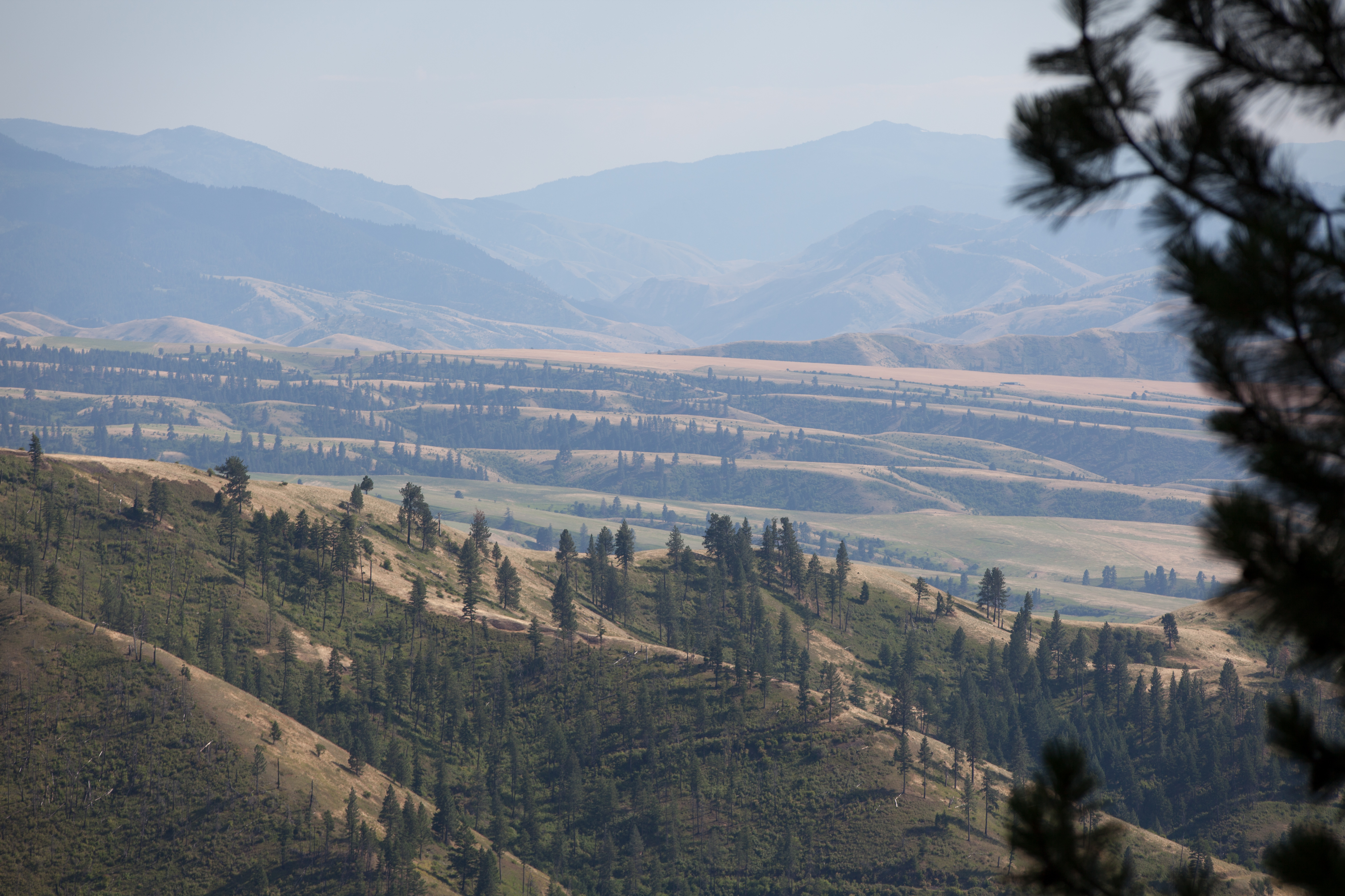
White Bird Canyon battlefield
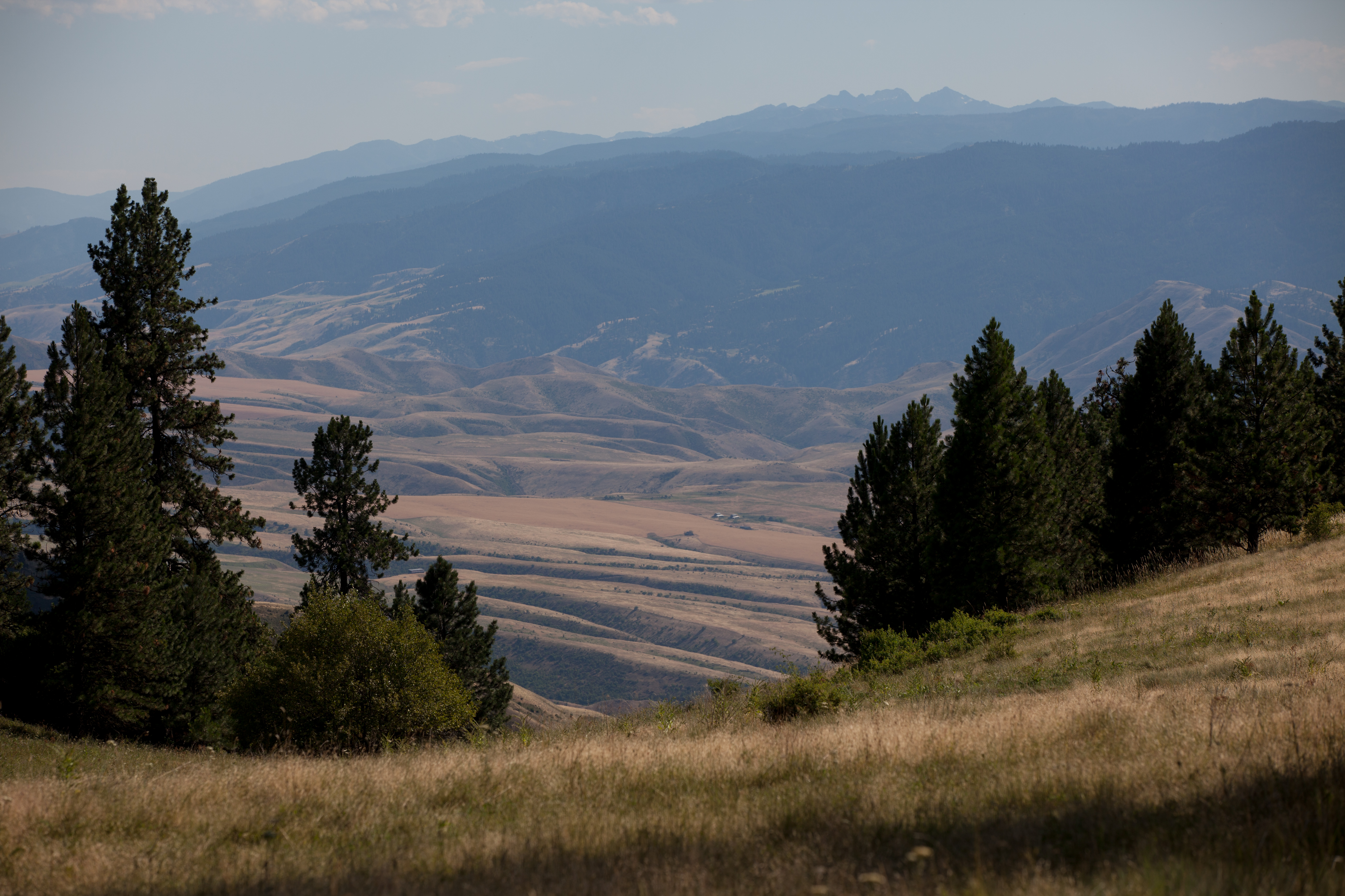
Pittsburg Saddle

White Bird Canyon battlefield

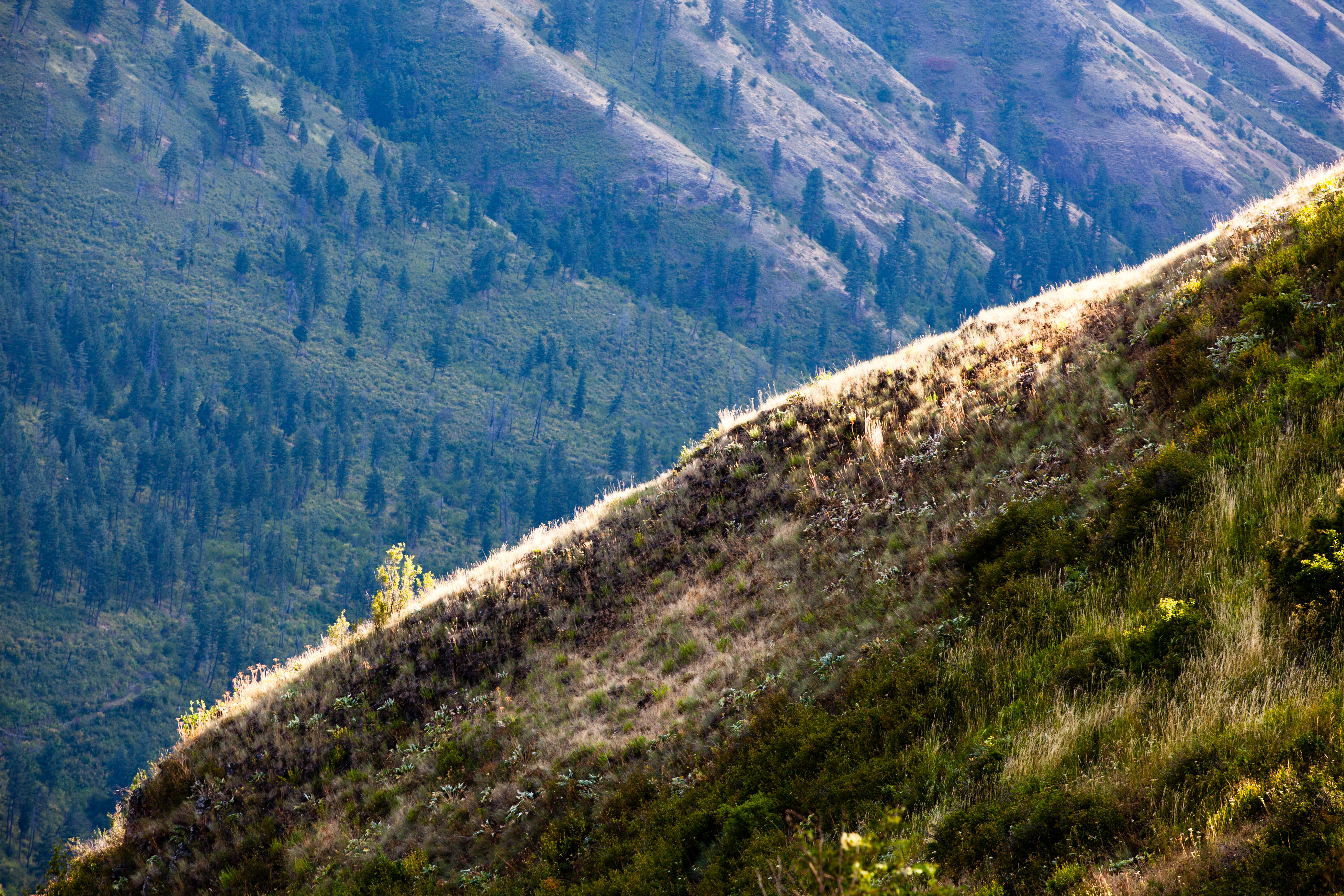
Upper meadow
Rafting Lower Salmon 20120722-104.jpg

Rafting Lower Salmon 20120722-133.jpg
Rafting Lower Salmon 20120722-146.jpg

One Switchback of many on White Bird Hill - a steep grade on Hwy 95 Central Idaho just above the time line 120817-094126 C4Tc
Rafting Lower Salmon 20120722-105.jpg

Rafting Lower Salmon 20120722-090.jpg
アメリカ合衆国 〒 アイダホ州 ホワイト・バードの地図
別の場所を検索
アメリカ合衆国 〒 アイダホ州 ホワイト・バードでの場所
Harmony, White Bird, ID アメリカ合衆国
Hammer Creek Rd, Idaho アメリカ合衆国ハマー・クリーク・ロード
アメリカ合衆国 〒 アイダホ州 ホワイト・バード・ヒル
Blue Grouse Rd, Idaho アメリカ合衆国ブルー・グラウス・ロード
近所の場所
Hammer Creek Rd, Idaho アメリカ合衆国ハマー・クリーク・ロード
Buckhorn Rd, White Bird, ID アメリカ合衆国
Doumecq Rd, White Bird, ID アメリカ合衆国
Blue Grouse Rd, Idaho アメリカ合衆国ブルー・グラウス・ロード
77 Canyon View Rd, White Bird, ID アメリカ合衆国
Bear Ridge Rd, Cottonwood, ID アメリカ合衆国
アメリカ合衆国 〒 アイダホ州 ホワイト・バード・ヒル
Harmony, White Bird, ID アメリカ合衆国
Woodys Way, White Bird, ID アメリカ合衆国
アメリカ合衆国 〒 アイダホ州 キャンフィールド
Old White Bird Hill Rd, Grangeville, ID アメリカ合衆国
アメリカ合衆国 〒 アイダホ州 ジョゼフ
Twin Pines Ln, Grangeville, ID アメリカ合衆国
NF-, Lucile, ID アメリカ合衆国ピッツバーグ・キャンプグランド
20 Fish Hatchery Rd, Grangeville, ID アメリカ合衆国
アメリカ合衆国 〒 アイダホ州 ルシール
Seven U Ranch Rd, Lucile, ID アメリカ合衆国
アメリカ合衆国 〒 アイダホ州 グレーンジビル
アメリカ合衆国 〒 アイダホ州 スネーク・リバー・キャニオン
21 Poor Farm Rd, Grangeville, ID アメリカ合衆国
最近の検索
- Leguwa ネパール日の出日の入り時間
- Shustino, Vladimir Oblast, ロシア日の出日の入り時間
- Lampiasi St, Sarasota, FL アメリカ合衆国日の出日の入り時間
- 日本、〒- 富山県富山市窪本町12−31 APAガーデンコート稲荷日の出日の入り時間
- 台湾 宜蘭県 大同郷Jialuohu日の出日の入り時間
- 日本、〒- 愛媛県今治市関前大下大下港日の出日の入り時間
- 日本、〒- 愛媛県今治市関前大下1930−1大下港フェリー乗り場日の出日の入り時間
- アルゼンチン ブエノスアイレス州 サン・テルモ日の出日の入り時間
- Congressional Dr, Stevensville, MD アメリカ合衆国日の出日の入り時間
- ギリシャ 〒 04 パピンゴ日の出日の入り時間