W Main St, Rural Valley, PA アメリカ合衆国日の出日の入り時間
Location: アメリカ合衆国 > ペンシルベニア州 > アームストロング > アメリカ合衆国 ペンシルベニア州 ルーラル・バレー >
時間帯:
America/New_York
現地時間:
2024-05-20 09:50:30
経度:
-79.3145473
緯度:
40.7993509
今日の日の出時刻:
05:54:40 AM
今日の日の入時刻:
08:33:03 PM
今日の日長:
14h 38m 23s
明日の日の出時刻:
05:53:54 AM
明日の日の入時刻:
08:33:57 PM
明日の日長:
14h 40m 3s
すべて表示する
| 日付 | 日出 | 日没 | 日長 |
|---|---|---|---|
| 2024年01月01日 | 07:41:29 AM | 05:00:34 PM | 9h 19m 5s |
| 2024年01月02日 | 07:41:33 AM | 05:01:25 PM | 9h 19m 52s |
| 2024年01月03日 | 07:41:35 AM | 05:02:18 PM | 9h 20m 43s |
| 2024年01月04日 | 07:41:35 AM | 05:03:13 PM | 9h 21m 38s |
| 2024年01月05日 | 07:41:32 AM | 05:04:09 PM | 9h 22m 37s |
| 2024年01月06日 | 07:41:27 AM | 05:05:06 PM | 9h 23m 39s |
| 2024年01月07日 | 07:41:20 AM | 05:06:05 PM | 9h 24m 45s |
| 2024年01月08日 | 07:41:11 AM | 05:07:04 PM | 9h 25m 53s |
| 2024年01月09日 | 07:40:59 AM | 05:08:05 PM | 9h 27m 6s |
| 2024年01月10日 | 07:40:46 AM | 05:09:08 PM | 9h 28m 22s |
| 2024年01月11日 | 07:40:30 AM | 05:10:11 PM | 9h 29m 41s |
| 2024年01月12日 | 07:40:11 AM | 05:11:15 PM | 9h 31m 4s |
| 2024年01月13日 | 07:39:51 AM | 05:12:20 PM | 9h 32m 29s |
| 2024年01月14日 | 07:39:28 AM | 05:13:27 PM | 9h 33m 59s |
| 2024年01月15日 | 07:39:03 AM | 05:14:34 PM | 9h 35m 31s |
| 2024年01月16日 | 07:38:36 AM | 05:15:42 PM | 9h 37m 6s |
| 2024年01月17日 | 07:38:07 AM | 05:16:50 PM | 9h 38m 43s |
| 2024年01月18日 | 07:37:35 AM | 05:18:00 PM | 9h 40m 25s |
| 2024年01月19日 | 07:37:02 AM | 05:19:10 PM | 9h 42m 8s |
| 2024年01月20日 | 07:36:26 AM | 05:20:20 PM | 9h 43m 54s |
| 2024年01月21日 | 07:35:48 AM | 05:21:31 PM | 9h 45m 43s |
| 2024年01月22日 | 07:35:09 AM | 05:22:43 PM | 9h 47m 34s |
| 2024年01月23日 | 07:34:27 AM | 05:23:55 PM | 9h 49m 28s |
| 2024年01月24日 | 07:33:43 AM | 05:25:07 PM | 9h 51m 24s |
| 2024年01月25日 | 07:32:58 AM | 05:26:20 PM | 9h 53m 22s |
| 2024年01月26日 | 07:32:10 AM | 05:27:33 PM | 9h 55m 23s |
| 2024年01月27日 | 07:31:21 AM | 05:28:47 PM | 9h 57m 26s |
| 2024年01月28日 | 07:30:30 AM | 05:30:00 PM | 9h 59m 30s |
| 2024年01月29日 | 07:29:37 AM | 05:31:14 PM | 10h 1m 37s |
| 2024年01月30日 | 07:28:42 AM | 05:32:28 PM | 10h 3m 46s |
| 2024年01月31日 | 07:27:45 AM | 05:33:42 PM | 10h 5m 57s |
| 2024年02月01日 | 07:26:47 AM | 05:34:57 PM | 10h 8m 10s |
| 2024年02月02日 | 07:25:47 AM | 05:36:11 PM | 10h 10m 24s |
| 2024年02月03日 | 07:24:45 AM | 05:37:25 PM | 10h 12m 40s |
| 2024年02月04日 | 07:23:42 AM | 05:38:39 PM | 10h 14m 57s |
| 2024年02月05日 | 07:22:37 AM | 05:39:54 PM | 10h 17m 17s |
| 2024年02月06日 | 07:21:31 AM | 05:41:08 PM | 10h 19m 37s |
| 2024年02月07日 | 07:20:23 AM | 05:42:22 PM | 10h 21m 59s |
| 2024年02月08日 | 07:19:13 AM | 05:43:36 PM | 10h 24m 23s |
| 2024年02月09日 | 07:18:03 AM | 05:44:50 PM | 10h 26m 47s |
| 2024年02月10日 | 07:16:50 AM | 05:46:03 PM | 10h 29m 13s |
| 2024年02月11日 | 07:15:37 AM | 05:47:17 PM | 10h 31m 40s |
| 2024年02月12日 | 07:14:22 AM | 05:48:30 PM | 10h 34m 8s |
| 2024年02月13日 | 07:13:06 AM | 05:49:43 PM | 10h 36m 37s |
| 2024年02月14日 | 07:11:48 AM | 05:50:56 PM | 10h 39m 8s |
| 2024年02月15日 | 07:10:30 AM | 05:52:09 PM | 10h 41m 39s |
| 2024年02月16日 | 07:09:10 AM | 05:53:21 PM | 10h 44m 11s |
| 2024年02月17日 | 07:07:49 AM | 05:54:33 PM | 10h 46m 44s |
| 2024年02月18日 | 07:06:27 AM | 05:55:45 PM | 10h 49m 18s |
| 2024年02月19日 | 07:05:04 AM | 05:56:56 PM | 10h 51m 52s |
| 2024年02月20日 | 07:03:40 AM | 05:58:08 PM | 10h 54m 28s |
| 2024年02月21日 | 07:02:15 AM | 05:59:19 PM | 10h 57m 4s |
| 2024年02月22日 | 07:00:49 AM | 06:00:29 PM | 10h 59m 40s |
| 2024年02月23日 | 06:59:21 AM | 06:01:40 PM | 11h 2m 19s |
| 2024年02月24日 | 06:57:54 AM | 06:02:50 PM | 11h 4m 56s |
| 2024年02月25日 | 06:56:25 AM | 06:04:00 PM | 11h 7m 35s |
| 2024年02月26日 | 06:54:55 AM | 06:05:09 PM | 11h 10m 14s |
| 2024年02月27日 | 06:53:25 AM | 06:06:18 PM | 11h 12m 53s |
| 2024年02月28日 | 06:51:53 AM | 06:07:27 PM | 11h 15m 34s |
| 2024年02月29日 | 06:50:21 AM | 06:08:36 PM | 11h 18m 15s |
| 2024年03月01日 | 06:48:49 AM | 06:09:44 PM | 11h 20m 55s |
| 2024年03月02日 | 06:47:16 AM | 06:10:52 PM | 11h 23m 36s |
| 2024年03月03日 | 06:45:42 AM | 06:12:00 PM | 11h 26m 18s |
| 2024年03月04日 | 06:44:07 AM | 06:13:07 PM | 11h 29m 0s |
| 2024年03月05日 | 06:42:32 AM | 06:14:14 PM | 11h 31m 42s |
| 2024年03月06日 | 06:40:56 AM | 06:15:21 PM | 11h 34m 25s |
| 2024年03月07日 | 06:39:20 AM | 06:16:28 PM | 11h 37m 8s |
| 2024年03月08日 | 06:37:44 AM | 06:17:34 PM | 11h 39m 50s |
| 2024年03月09日 | 06:36:07 AM | 06:18:40 PM | 11h 42m 33s |
| 2024年03月10日 | 07:34:34 AM | 07:19:44 PM | 11h 45m 10s |
| 2024年03月11日 | 07:32:56 AM | 07:20:49 PM | 11h 47m 53s |
| 2024年03月12日 | 07:31:18 AM | 07:21:55 PM | 11h 50m 37s |
| 2024年03月13日 | 07:29:39 AM | 07:23:00 PM | 11h 53m 21s |
| 2024年03月14日 | 07:28:01 AM | 07:24:05 PM | 11h 56m 4s |
| 2024年03月15日 | 07:26:22 AM | 07:25:10 PM | 11h 58m 48s |
| 2024年03月16日 | 07:24:43 AM | 07:26:14 PM | 12h 1m 31s |
| 2024年03月17日 | 07:23:03 AM | 07:27:19 PM | 12h 4m 16s |
| 2024年03月18日 | 07:21:24 AM | 07:28:23 PM | 12h 6m 59s |
| 2024年03月19日 | 07:19:44 AM | 07:29:27 PM | 12h 9m 43s |
| 2024年03月20日 | 07:18:05 AM | 07:30:31 PM | 12h 12m 26s |
| 2024年03月21日 | 07:16:25 AM | 07:31:35 PM | 12h 15m 10s |
| 2024年03月22日 | 07:14:45 AM | 07:32:39 PM | 12h 17m 54s |
| 2024年03月23日 | 07:13:05 AM | 07:33:43 PM | 12h 20m 38s |
| 2024年03月24日 | 07:11:26 AM | 07:34:46 PM | 12h 23m 20s |
| 2024年03月25日 | 07:09:46 AM | 07:35:50 PM | 12h 26m 4s |
| 2024年03月26日 | 07:08:06 AM | 07:36:53 PM | 12h 28m 47s |
| 2024年03月27日 | 07:06:27 AM | 07:37:56 PM | 12h 31m 29s |
| 2024年03月28日 | 07:04:48 AM | 07:38:59 PM | 12h 34m 11s |
| 2024年03月29日 | 07:03:08 AM | 07:40:03 PM | 12h 36m 55s |
| 2024年03月30日 | 07:01:30 AM | 07:41:06 PM | 12h 39m 36s |
| 2024年03月31日 | 06:59:51 AM | 07:42:09 PM | 12h 42m 18s |
| 2024年04月01日 | 06:58:12 AM | 07:43:12 PM | 12h 45m 0s |
| 2024年04月02日 | 06:56:34 AM | 07:44:15 PM | 12h 47m 41s |
| 2024年04月03日 | 06:54:57 AM | 07:45:18 PM | 12h 50m 21s |
| 2024年04月04日 | 06:53:19 AM | 07:46:21 PM | 12h 53m 2s |
| 2024年04月05日 | 06:51:42 AM | 07:47:24 PM | 12h 55m 42s |
| 2024年04月06日 | 06:50:06 AM | 07:48:27 PM | 12h 58m 21s |
| 2024年04月07日 | 06:48:30 AM | 07:49:30 PM | 13h 1m 0s |
| 2024年04月08日 | 06:46:54 AM | 07:50:33 PM | 13h 3m 39s |
| 2024年04月09日 | 06:45:19 AM | 07:51:36 PM | 13h 6m 17s |
| 2024年04月10日 | 06:43:44 AM | 07:52:39 PM | 13h 8m 55s |
| 2024年04月11日 | 06:42:10 AM | 07:53:42 PM | 13h 11m 32s |
| 2024年04月12日 | 06:40:37 AM | 07:54:45 PM | 13h 14m 8s |
| 2024年04月13日 | 06:39:04 AM | 07:55:48 PM | 13h 16m 44s |
| 2024年04月14日 | 06:37:32 AM | 07:56:51 PM | 13h 19m 19s |
| 2024年04月15日 | 06:36:01 AM | 07:57:54 PM | 13h 21m 53s |
| 2024年04月16日 | 06:34:30 AM | 07:58:57 PM | 13h 24m 27s |
| 2024年04月17日 | 06:33:01 AM | 08:00:01 PM | 13h 27m 0s |
| 2024年04月18日 | 06:31:32 AM | 08:01:04 PM | 13h 29m 32s |
| 2024年04月19日 | 06:30:03 AM | 08:02:07 PM | 13h 32m 4s |
| 2024年04月20日 | 06:28:36 AM | 08:03:10 PM | 13h 34m 34s |
| 2024年04月21日 | 06:27:10 AM | 08:04:13 PM | 13h 37m 3s |
| 2024年04月22日 | 06:25:44 AM | 08:05:16 PM | 13h 39m 32s |
| 2024年04月23日 | 06:24:20 AM | 08:06:19 PM | 13h 41m 59s |
| 2024年04月24日 | 06:22:56 AM | 08:07:23 PM | 13h 44m 27s |
| 2024年04月25日 | 06:21:34 AM | 08:08:26 PM | 13h 46m 52s |
| 2024年04月26日 | 06:20:12 AM | 08:09:29 PM | 13h 49m 17s |
| 2024年04月27日 | 06:18:52 AM | 08:10:31 PM | 13h 51m 39s |
| 2024年04月28日 | 06:17:33 AM | 08:11:34 PM | 13h 54m 1s |
| 2024年04月29日 | 06:16:14 AM | 08:12:37 PM | 13h 56m 23s |
| 2024年04月30日 | 06:14:58 AM | 08:13:40 PM | 13h 58m 42s |
| 2024年05月01日 | 06:13:42 AM | 08:14:42 PM | 14h 1m 0s |
| 2024年05月02日 | 06:12:27 AM | 08:15:44 PM | 14h 3m 17s |
| 2024年05月03日 | 06:11:14 AM | 08:16:46 PM | 14h 5m 32s |
| 2024年05月04日 | 06:10:02 AM | 08:17:48 PM | 14h 7m 46s |
| 2024年05月05日 | 06:08:52 AM | 08:18:50 PM | 14h 9m 58s |
| 2024年05月06日 | 06:07:43 AM | 08:19:52 PM | 14h 12m 9s |
| 2024年05月07日 | 06:06:35 AM | 08:20:53 PM | 14h 14m 18s |
| 2024年05月08日 | 06:05:29 AM | 08:21:54 PM | 14h 16m 25s |
| 2024年05月09日 | 06:04:24 AM | 08:22:54 PM | 14h 18m 30s |
| 2024年05月10日 | 06:03:21 AM | 08:23:54 PM | 14h 20m 33s |
| 2024年05月11日 | 06:02:19 AM | 08:24:54 PM | 14h 22m 35s |
| 2024年05月12日 | 06:01:19 AM | 08:25:54 PM | 14h 24m 35s |
| 2024年05月13日 | 06:00:20 AM | 08:26:53 PM | 14h 26m 33s |
| 2024年05月14日 | 05:59:23 AM | 08:27:51 PM | 14h 28m 28s |
| 2024年05月15日 | 05:58:28 AM | 08:28:49 PM | 14h 30m 21s |
| 2024年05月16日 | 05:57:34 AM | 08:29:47 PM | 14h 32m 13s |
| 2024年05月17日 | 05:56:42 AM | 08:30:44 PM | 14h 34m 2s |
| 2024年05月18日 | 05:55:52 AM | 08:31:40 PM | 14h 35m 48s |
| 2024年05月19日 | 05:55:03 AM | 08:32:35 PM | 14h 37m 32s |
| 2024年05月20日 | 05:54:16 AM | 08:33:30 PM | 14h 39m 14s |
| 2024年05月21日 | 05:53:31 AM | 08:34:24 PM | 14h 40m 53s |
| 2024年05月22日 | 05:52:48 AM | 08:35:18 PM | 14h 42m 30s |
| 2024年05月23日 | 05:52:07 AM | 08:36:10 PM | 14h 44m 3s |
| 2024年05月24日 | 05:51:27 AM | 08:37:02 PM | 14h 45m 35s |
| 2024年05月25日 | 05:50:50 AM | 08:37:53 PM | 14h 47m 3s |
| 2024年05月26日 | 05:50:14 AM | 08:38:43 PM | 14h 48m 29s |
| 2024年05月27日 | 05:49:40 AM | 08:39:31 PM | 14h 49m 51s |
| 2024年05月28日 | 05:49:08 AM | 08:40:19 PM | 14h 51m 11s |
| 2024年05月29日 | 05:48:38 AM | 08:41:06 PM | 14h 52m 28s |
| 2024年05月30日 | 05:48:10 AM | 08:41:52 PM | 14h 53m 42s |
| 2024年05月31日 | 05:47:44 AM | 08:42:36 PM | 14h 54m 52s |
| 2024年06月01日 | 05:47:20 AM | 08:43:19 PM | 14h 55m 59s |
| 2024年06月02日 | 05:46:58 AM | 08:44:01 PM | 14h 57m 3s |
| 2024年06月03日 | 05:46:38 AM | 08:44:42 PM | 14h 58m 4s |
| 2024年06月04日 | 05:46:20 AM | 08:45:21 PM | 14h 59m 1s |
| 2024年06月05日 | 05:46:04 AM | 08:45:59 PM | 14h 59m 55s |
| 2024年06月06日 | 05:45:50 AM | 08:46:36 PM | 15h 0m 46s |
| 2024年06月07日 | 05:45:38 AM | 08:47:11 PM | 15h 1m 33s |
| 2024年06月08日 | 05:45:28 AM | 08:47:45 PM | 15h 2m 17s |
| 2024年06月09日 | 05:45:20 AM | 08:48:17 PM | 15h 2m 57s |
| 2024年06月10日 | 05:45:13 AM | 08:48:48 PM | 15h 3m 35s |
| 2024年06月11日 | 05:45:09 AM | 08:49:16 PM | 15h 4m 7s |
| 2024年06月12日 | 05:45:07 AM | 08:49:44 PM | 15h 4m 37s |
| 2024年06月13日 | 05:45:07 AM | 08:50:09 PM | 15h 5m 2s |
| 2024年06月14日 | 05:45:09 AM | 08:50:33 PM | 15h 5m 24s |
| 2024年06月15日 | 05:45:12 AM | 08:50:55 PM | 15h 5m 43s |
| 2024年06月16日 | 05:45:18 AM | 08:51:16 PM | 15h 5m 58s |
| 2024年06月17日 | 05:45:26 AM | 08:51:34 PM | 15h 6m 8s |
| 2024年06月18日 | 05:45:35 AM | 08:51:51 PM | 15h 6m 16s |
| 2024年06月19日 | 05:45:46 AM | 08:52:06 PM | 15h 6m 20s |
| 2024年06月20日 | 05:45:59 AM | 08:52:19 PM | 15h 6m 20s |
| 2024年06月21日 | 05:46:14 AM | 08:52:30 PM | 15h 6m 16s |
| 2024年06月22日 | 05:46:31 AM | 08:52:39 PM | 15h 6m 8s |
| 2024年06月23日 | 05:46:50 AM | 08:52:47 PM | 15h 5m 57s |
| 2024年06月24日 | 05:47:10 AM | 08:52:52 PM | 15h 5m 42s |
| 2024年06月25日 | 05:47:32 AM | 08:52:55 PM | 15h 5m 23s |
| 2024年06月26日 | 05:47:55 AM | 08:52:56 PM | 15h 5m 1s |
| 2024年06月27日 | 05:48:21 AM | 08:52:56 PM | 15h 4m 35s |
| 2024年06月28日 | 05:48:47 AM | 08:52:53 PM | 15h 4m 6s |
| 2024年06月29日 | 05:49:16 AM | 08:52:48 PM | 15h 3m 32s |
| 2024年06月30日 | 05:49:46 AM | 08:52:41 PM | 15h 2m 55s |
| 2024年07月01日 | 05:50:17 AM | 08:52:33 PM | 15h 2m 16s |
| 2024年07月02日 | 05:50:50 AM | 08:52:22 PM | 15h 1m 32s |
| 2024年07月03日 | 05:51:24 AM | 08:52:09 PM | 15h 0m 45s |
| 2024年07月04日 | 05:52:00 AM | 08:51:54 PM | 14h 59m 54s |
| 2024年07月05日 | 05:52:37 AM | 08:51:37 PM | 14h 59m 0s |
| 2024年07月06日 | 05:53:15 AM | 08:51:18 PM | 14h 58m 3s |
| 2024年07月07日 | 05:53:55 AM | 08:50:57 PM | 14h 57m 2s |
| 2024年07月08日 | 05:54:36 AM | 08:50:34 PM | 14h 55m 58s |
| 2024年07月09日 | 05:55:17 AM | 08:50:09 PM | 14h 54m 52s |
| 2024年07月10日 | 05:56:01 AM | 08:49:41 PM | 14h 53m 40s |
| 2024年07月11日 | 05:56:45 AM | 08:49:12 PM | 14h 52m 27s |
| 2024年07月12日 | 05:57:30 AM | 08:48:41 PM | 14h 51m 11s |
| 2024年07月13日 | 05:58:16 AM | 08:48:08 PM | 14h 49m 52s |
| 2024年07月14日 | 05:59:03 AM | 08:47:33 PM | 14h 48m 30s |
| 2024年07月15日 | 05:59:51 AM | 08:46:56 PM | 14h 47m 5s |
| 2024年07月16日 | 06:00:40 AM | 08:46:17 PM | 14h 45m 37s |
| 2024年07月17日 | 06:01:30 AM | 08:45:37 PM | 14h 44m 7s |
| 2024年07月18日 | 06:02:20 AM | 08:44:54 PM | 14h 42m 34s |
| 2024年07月19日 | 06:03:11 AM | 08:44:09 PM | 14h 40m 58s |
| 2024年07月20日 | 06:04:03 AM | 08:43:23 PM | 14h 39m 20s |
| 2024年07月21日 | 06:04:56 AM | 08:42:35 PM | 14h 37m 39s |
| 2024年07月22日 | 06:05:49 AM | 08:41:45 PM | 14h 35m 56s |
| 2024年07月23日 | 06:06:43 AM | 08:40:53 PM | 14h 34m 10s |
| 2024年07月24日 | 06:07:37 AM | 08:40:00 PM | 14h 32m 23s |
| 2024年07月25日 | 06:08:32 AM | 08:39:05 PM | 14h 30m 33s |
| 2024年07月26日 | 06:09:27 AM | 08:38:08 PM | 14h 28m 41s |
| 2024年07月27日 | 06:10:23 AM | 08:37:10 PM | 14h 26m 47s |
| 2024年07月28日 | 06:11:19 AM | 08:36:10 PM | 14h 24m 51s |
| 2024年07月29日 | 06:12:16 AM | 08:35:08 PM | 14h 22m 52s |
| 2024年07月30日 | 06:13:13 AM | 08:34:05 PM | 14h 20m 52s |
| 2024年07月31日 | 06:14:10 AM | 08:33:00 PM | 14h 18m 50s |
| 2024年08月01日 | 06:15:08 AM | 08:31:54 PM | 14h 16m 46s |
| 2024年08月02日 | 06:16:06 AM | 08:30:46 PM | 14h 14m 40s |
| 2024年08月03日 | 06:17:04 AM | 08:29:37 PM | 14h 12m 33s |
| 2024年08月04日 | 06:18:02 AM | 08:28:26 PM | 14h 10m 24s |
| 2024年08月05日 | 06:19:00 AM | 08:27:14 PM | 14h 8m 14s |
| 2024年08月06日 | 06:19:59 AM | 08:26:01 PM | 14h 6m 2s |
| 2024年08月07日 | 06:20:58 AM | 08:24:46 PM | 14h 3m 48s |
| 2024年08月08日 | 06:21:57 AM | 08:23:30 PM | 14h 1m 33s |
| 2024年08月09日 | 06:22:56 AM | 08:22:13 PM | 13h 59m 17s |
| 2024年08月10日 | 06:23:55 AM | 08:20:54 PM | 13h 56m 59s |
| 2024年08月11日 | 06:24:54 AM | 08:19:35 PM | 13h 54m 41s |
| 2024年08月12日 | 06:25:53 AM | 08:18:14 PM | 13h 52m 21s |
| 2024年08月13日 | 06:26:52 AM | 08:16:52 PM | 13h 50m 0s |
| 2024年08月14日 | 06:27:52 AM | 08:15:29 PM | 13h 47m 37s |
| 2024年08月15日 | 06:28:51 AM | 08:14:05 PM | 13h 45m 14s |
| 2024年08月16日 | 06:29:50 AM | 08:12:40 PM | 13h 42m 50s |
| 2024年08月17日 | 06:30:50 AM | 08:11:14 PM | 13h 40m 24s |
| 2024年08月18日 | 06:31:49 AM | 08:09:47 PM | 13h 37m 58s |
| 2024年08月19日 | 06:32:48 AM | 08:08:18 PM | 13h 35m 30s |
| 2024年08月20日 | 06:33:47 AM | 08:06:50 PM | 13h 33m 3s |
| 2024年08月21日 | 06:34:46 AM | 08:05:20 PM | 13h 30m 34s |
| 2024年08月22日 | 06:35:46 AM | 08:03:49 PM | 13h 28m 3s |
| 2024年08月23日 | 06:36:45 AM | 08:02:18 PM | 13h 25m 33s |
| 2024年08月24日 | 06:37:44 AM | 08:00:45 PM | 13h 23m 1s |
| 2024年08月25日 | 06:38:43 AM | 07:59:12 PM | 13h 20m 29s |
| 2024年08月26日 | 06:39:42 AM | 07:57:39 PM | 13h 17m 57s |
| 2024年08月27日 | 06:40:41 AM | 07:56:04 PM | 13h 15m 23s |
| 2024年08月28日 | 06:41:39 AM | 07:54:29 PM | 13h 12m 50s |
| 2024年08月29日 | 06:42:38 AM | 07:52:53 PM | 13h 10m 15s |
| 2024年08月30日 | 06:43:37 AM | 07:51:17 PM | 13h 7m 40s |
| 2024年08月31日 | 06:44:36 AM | 07:49:40 PM | 13h 5m 4s |
| 2024年09月01日 | 06:45:34 AM | 07:48:03 PM | 13h 2m 29s |
| 2024年09月02日 | 06:46:33 AM | 07:46:25 PM | 12h 59m 52s |
| 2024年09月03日 | 06:47:32 AM | 07:44:47 PM | 12h 57m 15s |
| 2024年09月04日 | 06:48:30 AM | 07:43:08 PM | 12h 54m 38s |
| 2024年09月05日 | 06:49:29 AM | 07:41:29 PM | 12h 52m 0s |
| 2024年09月06日 | 06:50:27 AM | 07:39:49 PM | 12h 49m 22s |
| 2024年09月07日 | 06:51:26 AM | 07:38:09 PM | 12h 46m 43s |
| 2024年09月08日 | 06:52:24 AM | 07:36:29 PM | 12h 44m 5s |
| 2024年09月09日 | 06:53:23 AM | 07:34:48 PM | 12h 41m 25s |
| 2024年09月10日 | 06:54:22 AM | 07:33:08 PM | 12h 38m 46s |
| 2024年09月11日 | 06:55:20 AM | 07:31:26 PM | 12h 36m 6s |
| 2024年09月12日 | 06:56:19 AM | 07:29:45 PM | 12h 33m 26s |
| 2024年09月13日 | 06:57:17 AM | 07:28:04 PM | 12h 30m 47s |
| 2024年09月14日 | 06:58:16 AM | 07:26:22 PM | 12h 28m 6s |
| 2024年09月15日 | 06:59:15 AM | 07:24:41 PM | 12h 25m 26s |
| 2024年09月16日 | 07:00:14 AM | 07:22:59 PM | 12h 22m 45s |
| 2024年09月17日 | 07:01:13 AM | 07:21:17 PM | 12h 20m 4s |
| 2024年09月18日 | 07:02:12 AM | 07:19:35 PM | 12h 17m 23s |
| 2024年09月19日 | 07:03:11 AM | 07:17:53 PM | 12h 14m 42s |
| 2024年09月20日 | 07:04:10 AM | 07:16:11 PM | 12h 12m 1s |
| 2024年09月21日 | 07:05:10 AM | 07:14:30 PM | 12h 9m 20s |
| 2024年09月22日 | 07:06:09 AM | 07:12:48 PM | 12h 6m 39s |
| 2024年09月23日 | 07:07:09 AM | 07:11:06 PM | 12h 3m 57s |
| 2024年09月24日 | 07:08:09 AM | 07:09:25 PM | 12h 1m 16s |
| 2024年09月25日 | 07:09:09 AM | 07:07:44 PM | 11h 58m 35s |
| 2024年09月26日 | 07:10:09 AM | 07:06:03 PM | 11h 55m 54s |
| 2024年09月27日 | 07:11:10 AM | 07:04:22 PM | 11h 53m 12s |
| 2024年09月28日 | 07:12:10 AM | 07:02:42 PM | 11h 50m 32s |
| 2024年09月29日 | 07:13:11 AM | 07:01:01 PM | 11h 47m 50s |
| 2024年09月30日 | 07:14:12 AM | 06:59:22 PM | 11h 45m 10s |
| 2024年10月01日 | 07:15:14 AM | 06:57:42 PM | 11h 42m 28s |
| 2024年10月02日 | 07:16:15 AM | 06:56:03 PM | 11h 39m 48s |
| 2024年10月03日 | 07:17:17 AM | 06:54:24 PM | 11h 37m 7s |
| 2024年10月04日 | 07:18:19 AM | 06:52:46 PM | 11h 34m 27s |
| 2024年10月05日 | 07:19:21 AM | 06:51:08 PM | 11h 31m 47s |
| 2024年10月06日 | 07:20:24 AM | 06:49:31 PM | 11h 29m 7s |
| 2024年10月07日 | 07:21:27 AM | 06:47:55 PM | 11h 26m 28s |
| 2024年10月08日 | 07:22:30 AM | 06:46:19 PM | 11h 23m 49s |
| 2024年10月09日 | 07:23:34 AM | 06:44:43 PM | 11h 21m 9s |
| 2024年10月10日 | 07:24:38 AM | 06:43:08 PM | 11h 18m 30s |
| 2024年10月11日 | 07:25:42 AM | 06:41:34 PM | 11h 15m 52s |
| 2024年10月12日 | 07:26:46 AM | 06:40:01 PM | 11h 13m 15s |
| 2024年10月13日 | 07:27:51 AM | 06:38:28 PM | 11h 10m 37s |
| 2024年10月14日 | 07:28:56 AM | 06:36:56 PM | 11h 8m 0s |
| 2024年10月15日 | 07:30:02 AM | 06:35:25 PM | 11h 5m 23s |
| 2024年10月16日 | 07:31:07 AM | 06:33:55 PM | 11h 2m 48s |
| 2024年10月17日 | 07:32:14 AM | 06:32:26 PM | 11h 0m 12s |
| 2024年10月18日 | 07:33:20 AM | 06:30:58 PM | 10h 57m 38s |
| 2024年10月19日 | 07:34:27 AM | 06:29:30 PM | 10h 55m 3s |
| 2024年10月20日 | 07:35:34 AM | 06:28:04 PM | 10h 52m 30s |
| 2024年10月21日 | 07:36:41 AM | 06:26:38 PM | 10h 49m 57s |
| 2024年10月22日 | 07:37:49 AM | 06:25:14 PM | 10h 47m 25s |
| 2024年10月23日 | 07:38:57 AM | 06:23:51 PM | 10h 44m 54s |
| 2024年10月24日 | 07:40:05 AM | 06:22:28 PM | 10h 42m 23s |
| 2024年10月25日 | 07:41:14 AM | 06:21:07 PM | 10h 39m 53s |
| 2024年10月26日 | 07:42:23 AM | 06:19:48 PM | 10h 37m 25s |
| 2024年10月27日 | 07:43:32 AM | 06:18:29 PM | 10h 34m 57s |
| 2024年10月28日 | 07:44:41 AM | 06:17:12 PM | 10h 32m 31s |
| 2024年10月29日 | 07:45:51 AM | 06:15:56 PM | 10h 30m 5s |
| 2024年10月30日 | 07:47:01 AM | 06:14:41 PM | 10h 27m 40s |
| 2024年10月31日 | 07:48:11 AM | 06:13:28 PM | 10h 25m 17s |
| 2024年11月01日 | 07:49:21 AM | 06:12:16 PM | 10h 22m 55s |
| 2024年11月02日 | 07:50:31 AM | 06:11:06 PM | 10h 20m 35s |
| 2024年11月03日 | 06:51:45 AM | 05:09:54 PM | 10h 18m 9s |
| 2024年11月04日 | 06:52:56 AM | 05:08:47 PM | 10h 15m 51s |
| 2024年11月05日 | 06:54:07 AM | 05:07:41 PM | 10h 13m 34s |
| 2024年11月06日 | 06:55:18 AM | 05:06:37 PM | 10h 11m 19s |
| 2024年11月07日 | 06:56:29 AM | 05:05:34 PM | 10h 9m 5s |
| 2024年11月08日 | 06:57:40 AM | 05:04:33 PM | 10h 6m 53s |
| 2024年11月09日 | 06:58:51 AM | 05:03:34 PM | 10h 4m 43s |
| 2024年11月10日 | 07:00:01 AM | 05:02:37 PM | 10h 2m 36s |
| 2024年11月11日 | 07:01:12 AM | 05:01:41 PM | 10h 0m 29s |
| 2024年11月12日 | 07:02:23 AM | 05:00:47 PM | 9h 58m 24s |
| 2024年11月13日 | 07:03:34 AM | 04:59:55 PM | 9h 56m 21s |
| 2024年11月14日 | 07:04:44 AM | 04:59:05 PM | 9h 54m 21s |
| 2024年11月15日 | 07:05:54 AM | 04:58:17 PM | 9h 52m 23s |
| 2024年11月16日 | 07:07:04 AM | 04:57:30 PM | 9h 50m 26s |
| 2024年11月17日 | 07:08:14 AM | 04:56:46 PM | 9h 48m 32s |
| 2024年11月18日 | 07:09:23 AM | 04:56:04 PM | 9h 46m 41s |
| 2024年11月19日 | 07:10:32 AM | 04:55:24 PM | 9h 44m 52s |
| 2024年11月20日 | 07:11:41 AM | 04:54:45 PM | 9h 43m 4s |
| 2024年11月21日 | 07:12:49 AM | 04:54:09 PM | 9h 41m 20s |
| 2024年11月22日 | 07:13:56 AM | 04:53:35 PM | 9h 39m 39s |
| 2024年11月23日 | 07:15:03 AM | 04:53:03 PM | 9h 38m 0s |
| 2024年11月24日 | 07:16:09 AM | 04:52:33 PM | 9h 36m 24s |
| 2024年11月25日 | 07:17:15 AM | 04:52:06 PM | 9h 34m 51s |
| 2024年11月26日 | 07:18:20 AM | 04:51:40 PM | 9h 33m 20s |
| 2024年11月27日 | 07:19:24 AM | 04:51:17 PM | 9h 31m 53s |
| 2024年11月28日 | 07:20:27 AM | 04:50:56 PM | 9h 30m 29s |
| 2024年11月29日 | 07:21:29 AM | 04:50:38 PM | 9h 29m 9s |
| 2024年11月30日 | 07:22:30 AM | 04:50:21 PM | 9h 27m 51s |
| 2024年12月01日 | 07:23:30 AM | 04:50:07 PM | 9h 26m 37s |
| 2024年12月02日 | 07:24:29 AM | 04:49:55 PM | 9h 25m 26s |
| 2024年12月03日 | 07:25:27 AM | 04:49:46 PM | 9h 24m 19s |
| 2024年12月04日 | 07:26:24 AM | 04:49:39 PM | 9h 23m 15s |
| 2024年12月05日 | 07:27:20 AM | 04:49:34 PM | 9h 22m 14s |
| 2024年12月06日 | 07:28:14 AM | 04:49:31 PM | 9h 21m 17s |
| 2024年12月07日 | 07:29:07 AM | 04:49:31 PM | 9h 20m 24s |
| 2024年12月08日 | 07:29:59 AM | 04:49:33 PM | 9h 19m 34s |
| 2024年12月09日 | 07:30:49 AM | 04:49:37 PM | 9h 18m 48s |
| 2024年12月10日 | 07:31:37 AM | 04:49:44 PM | 9h 18m 7s |
| 2024年12月11日 | 07:32:24 AM | 04:49:53 PM | 9h 17m 29s |
| 2024年12月12日 | 07:33:09 AM | 04:50:04 PM | 9h 16m 55s |
| 2024年12月13日 | 07:33:53 AM | 04:50:18 PM | 9h 16m 25s |
| 2024年12月14日 | 07:34:35 AM | 04:50:34 PM | 9h 15m 59s |
| 2024年12月15日 | 07:35:15 AM | 04:50:52 PM | 9h 15m 37s |
| 2024年12月16日 | 07:35:54 AM | 04:51:12 PM | 9h 15m 18s |
| 2024年12月17日 | 07:36:30 AM | 04:51:35 PM | 9h 15m 5s |
| 2024年12月18日 | 07:37:05 AM | 04:51:59 PM | 9h 14m 54s |
| 2024年12月19日 | 07:37:37 AM | 04:52:26 PM | 9h 14m 49s |
| 2024年12月20日 | 07:38:08 AM | 04:52:55 PM | 9h 14m 47s |
| 2024年12月21日 | 07:38:37 AM | 04:53:26 PM | 9h 14m 49s |
| 2024年12月22日 | 07:39:04 AM | 04:53:59 PM | 9h 14m 55s |
| 2024年12月23日 | 07:39:28 AM | 04:54:34 PM | 9h 15m 6s |
| 2024年12月24日 | 07:39:51 AM | 04:55:11 PM | 9h 15m 20s |
| 2024年12月25日 | 07:40:11 AM | 04:55:50 PM | 9h 15m 39s |
| 2024年12月26日 | 07:40:29 AM | 04:56:31 PM | 9h 16m 2s |
| 2024年12月27日 | 07:40:45 AM | 04:57:13 PM | 9h 16m 28s |
| 2024年12月28日 | 07:40:59 AM | 04:57:58 PM | 9h 16m 59s |
| 2024年12月29日 | 07:41:11 AM | 04:58:44 PM | 9h 17m 33s |
| 2024年12月30日 | 07:41:20 AM | 04:59:32 PM | 9h 18m 12s |
写真

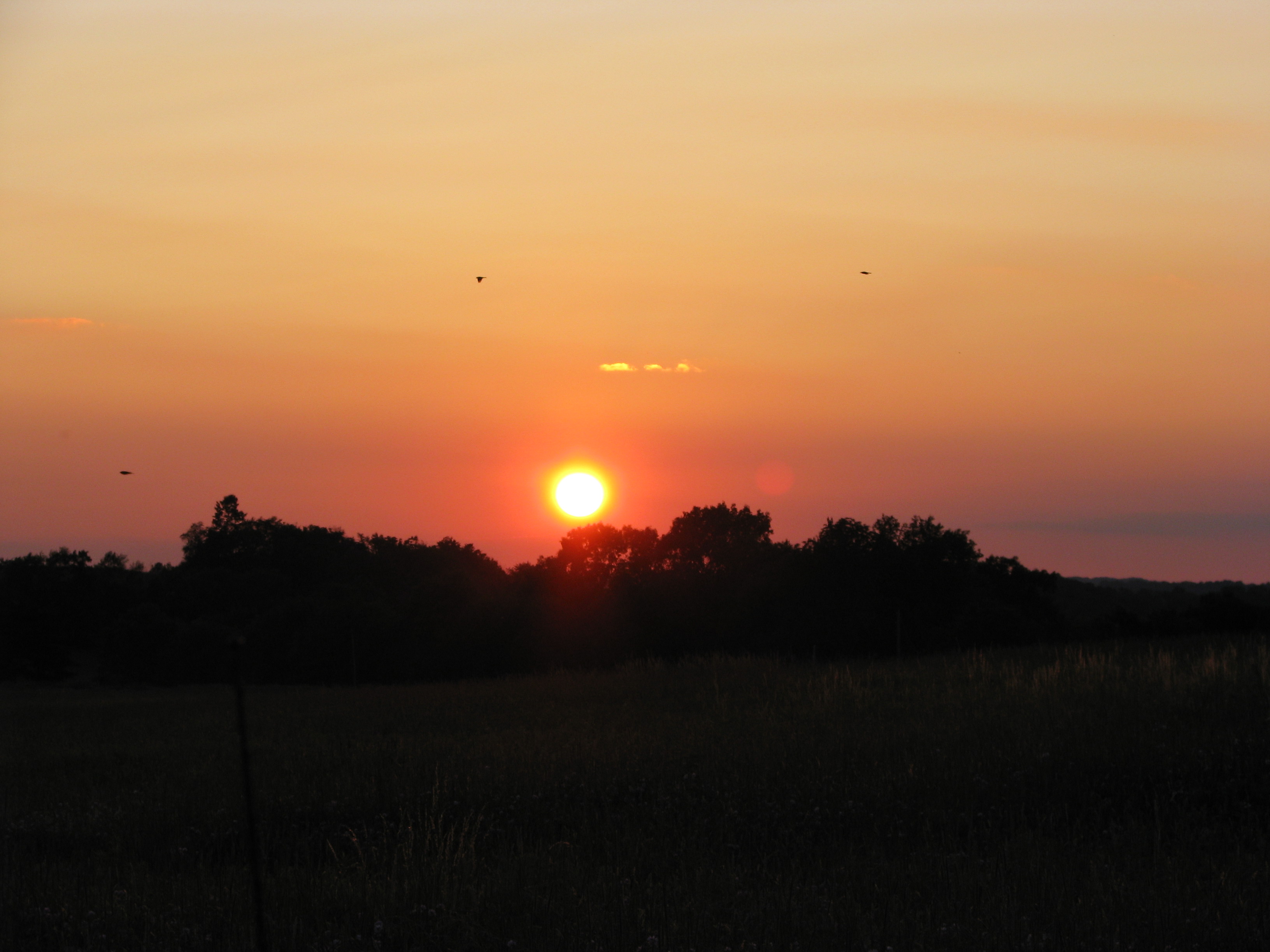
Keystone Lake Sunset
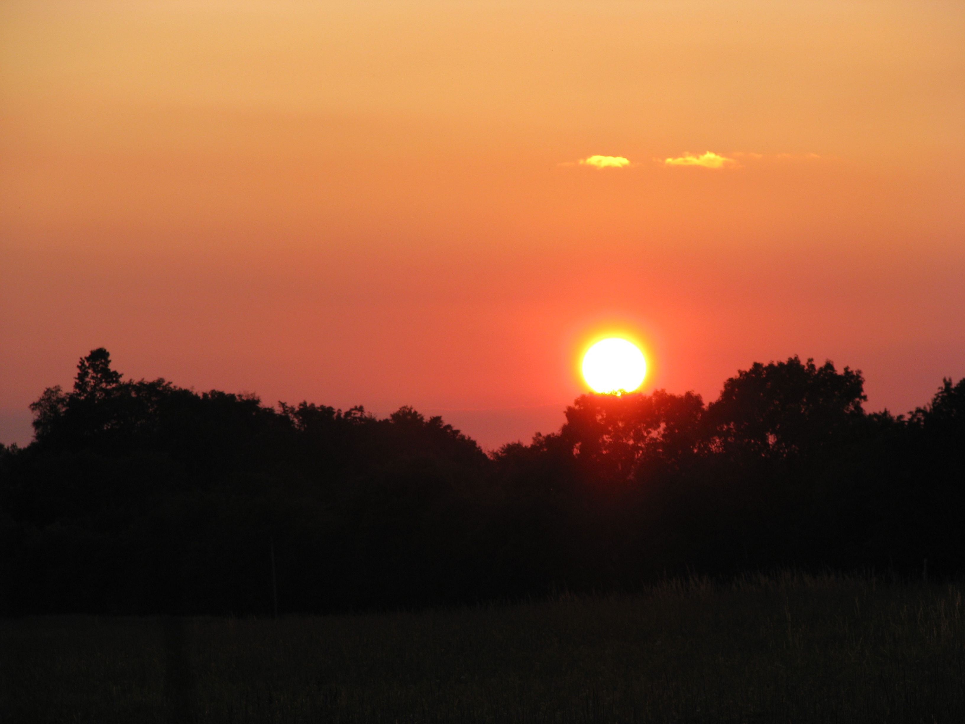
Sunset off of Route 28 near Kittaning
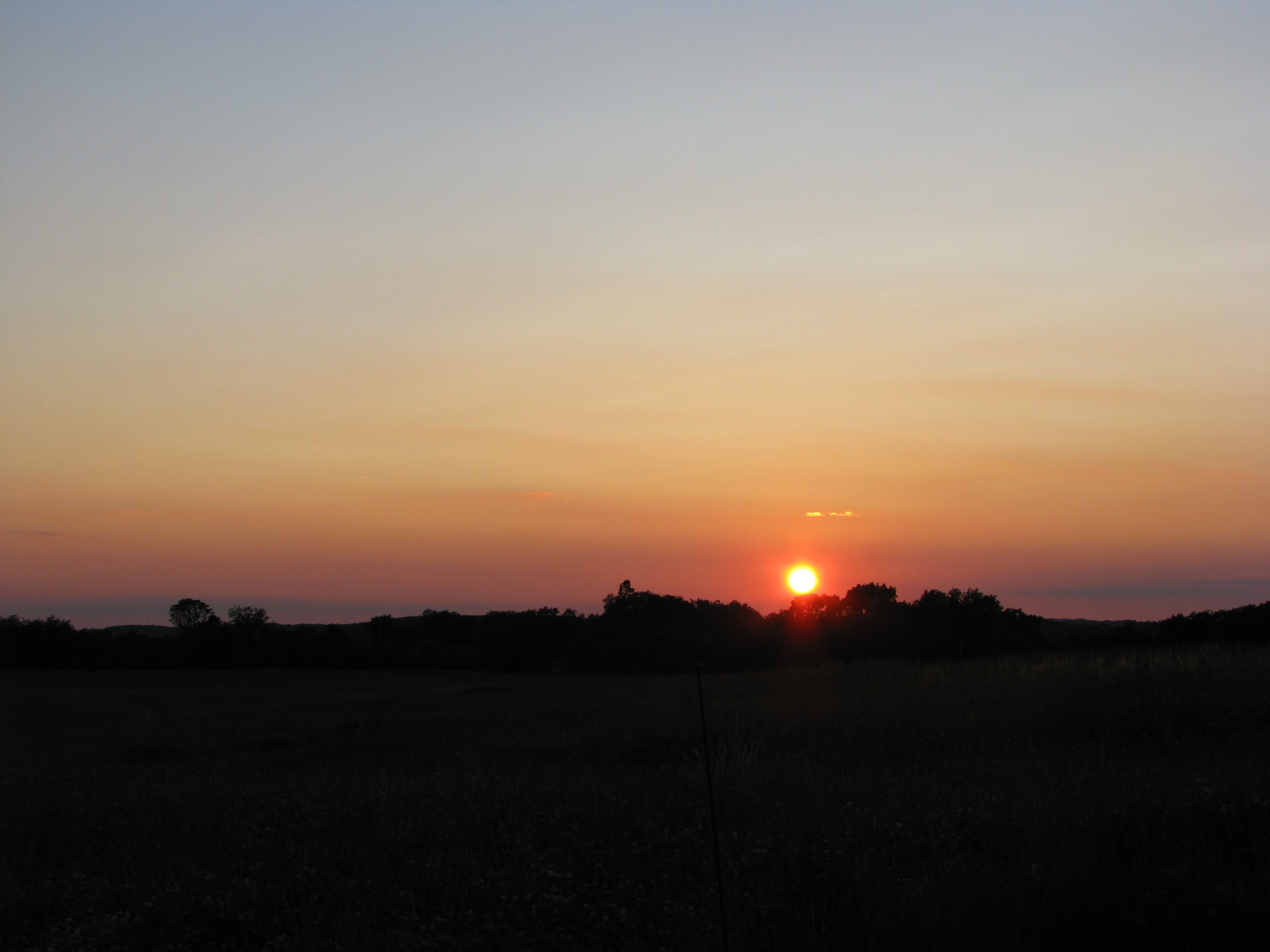
Sunset off of Route 28 near Kittaning
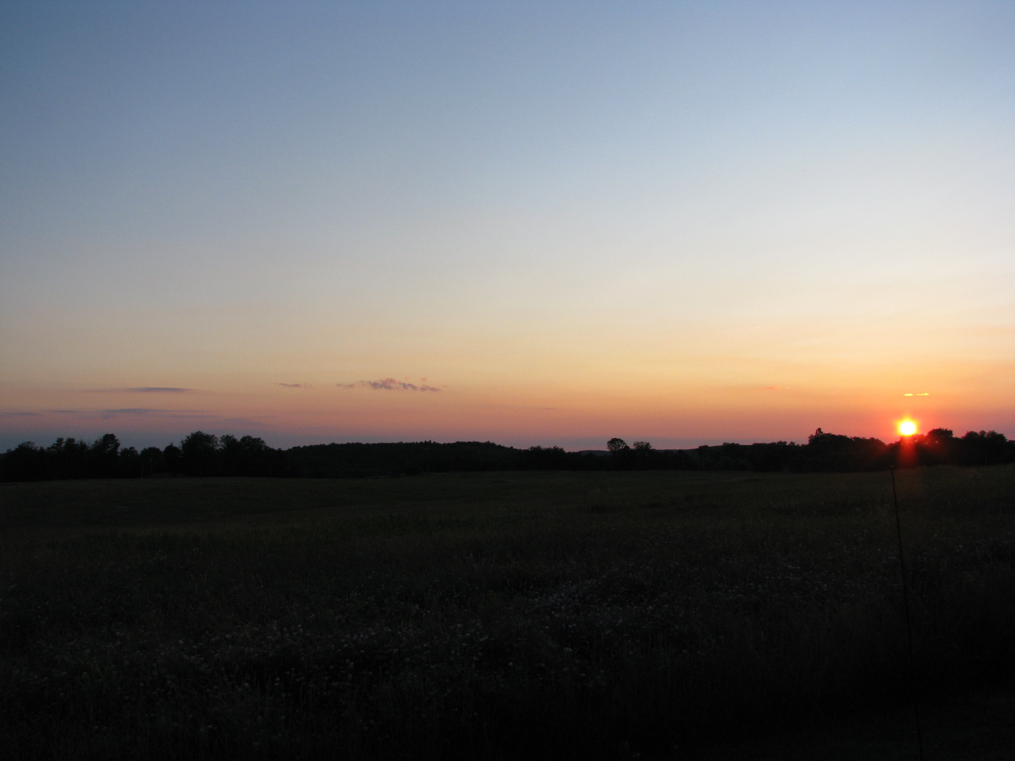
Sunset off of Route 28 near Kittaning

Evening sky over Armstrong County Pennsylvania
Sunset off of Route 28 near Kittaning

Along the Creek at Pine Furnace
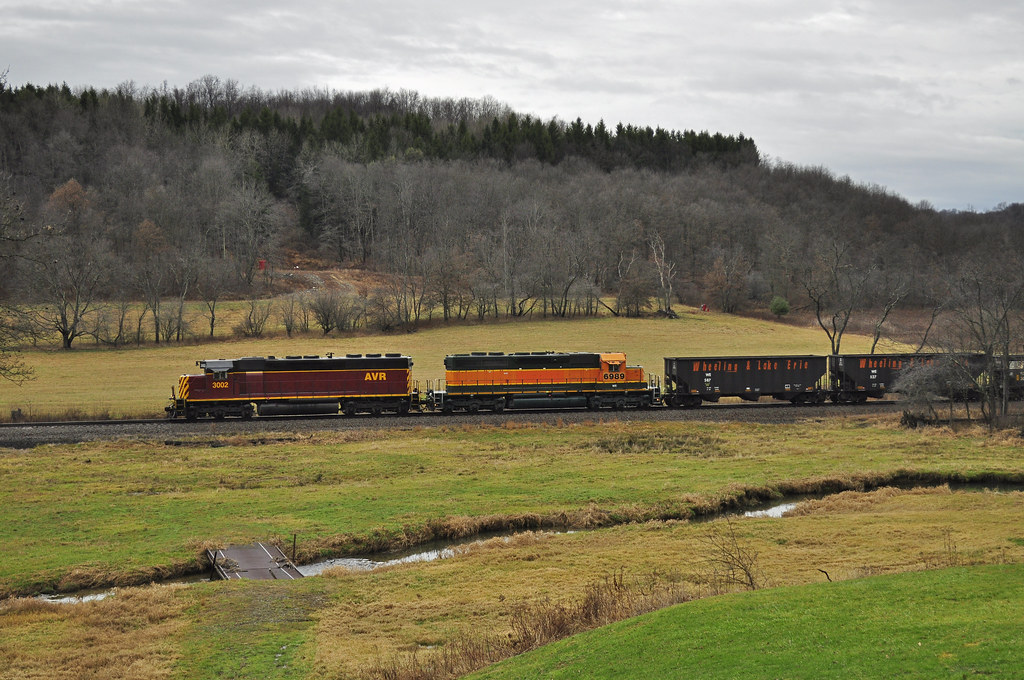
Outsiders and B&P Mainline Countryside

Pine Creek at McCauley Falls in Armstrong County PA
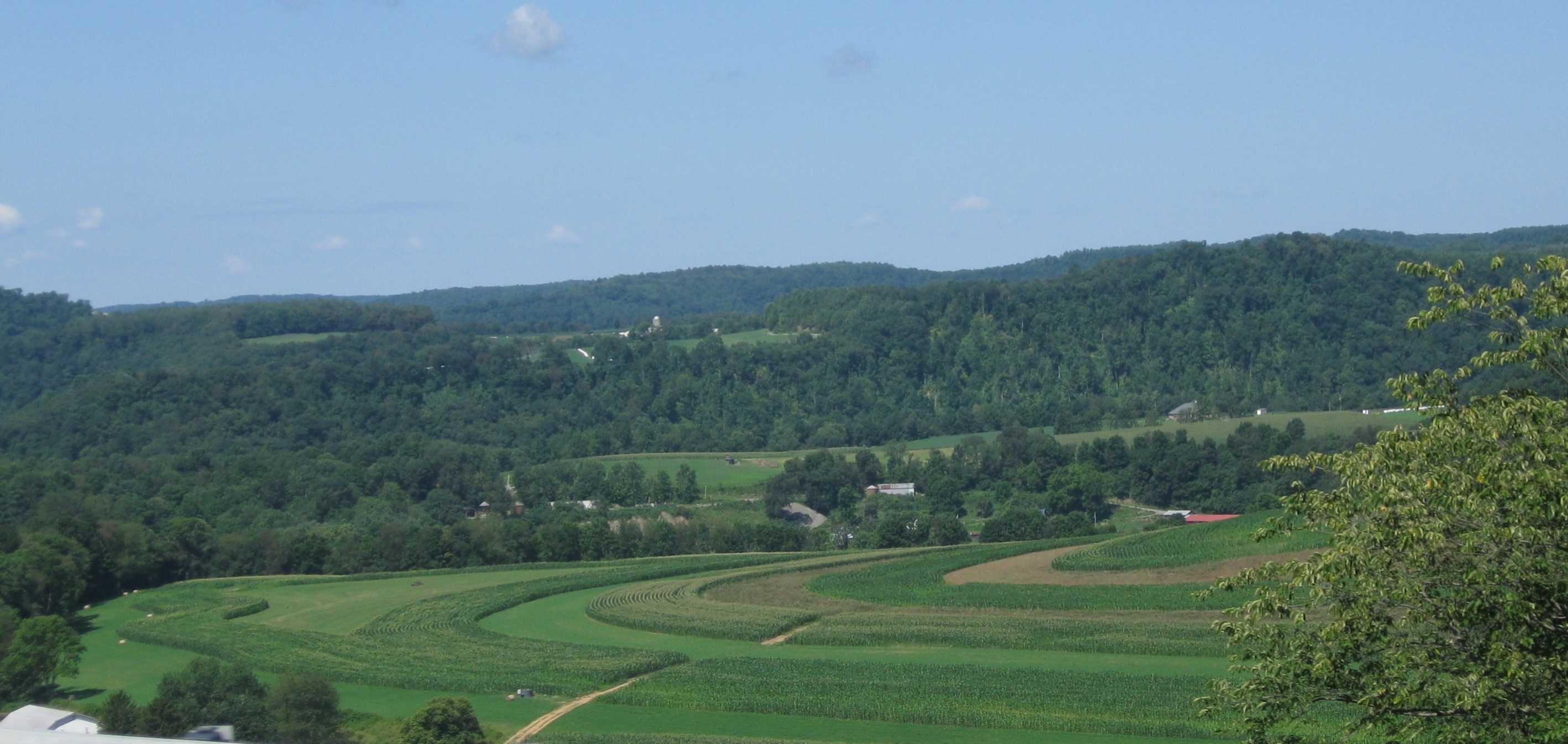
Farm on Hogback Hill, Rt 66/28 N -- Armstrong County, PA
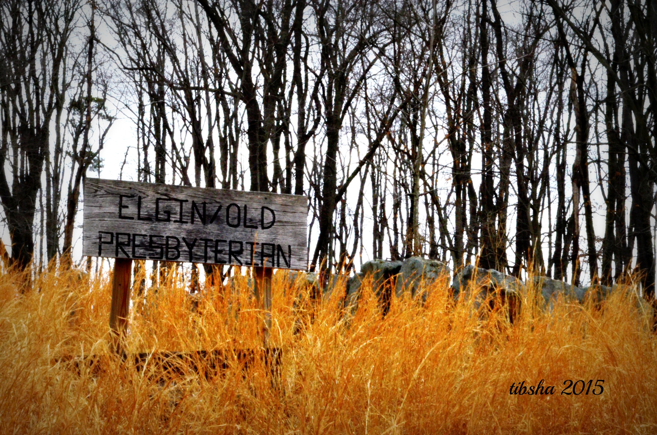
ElginOld Presbyterian

Jeremiah Southworth

Buttermilk Falls, Armstrong County Pennsylvania

Eleven Buffalo & Pittsburgh railroad engines in line over the old B&O Railroad bridge at Mosgrove Pa
Poor Boy

Historic Arch Bridge built in 1895 in Armstrong County PA

Ferris Wheel

Harmon Covered Bridge in Indiana County PA

PA 28, after the expressway ends and it gets fun

Blanket Hill

Country Barn near Dayton, Armstrong County PA

Mary Isabell Hill

Jane McBride
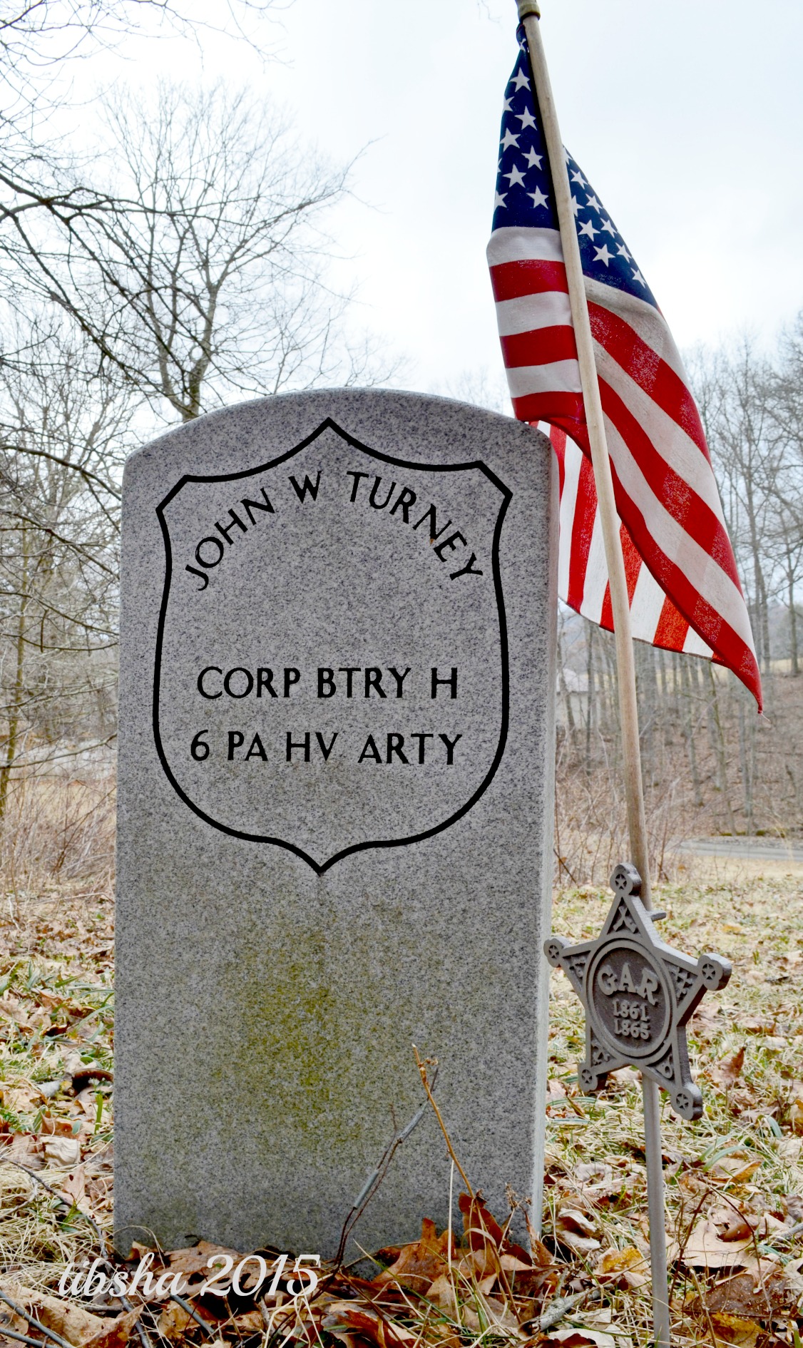
John W Turney

Thomas M C Beer
W Main St, Rural Valley, PA アメリカ合衆国の地図
別の場所を検索
近所の場所
アメリカ合衆国 ペンシルベニア州 ルーラル・バレー
アメリカ合衆国 ペンシルベニア州 コーワンシャノック
PA-85, Kittanning, PA アメリカ合衆国
PA-85, Dayton, PA アメリカ合衆国
アメリカ合衆国 ペンシルベニア州 ウェイン
アメリカ合衆国 ペンシルベニア州 バレー
アメリカ合衆国 ペンシルベニア州 デイトン
Belknap Rd, Wayne Township, PA, アメリカ合衆国Belknap Road
Slease Rd, Kittanning, PA アメリカ合衆国
Curleys Rd, New Bethlehem, PA アメリカ合衆国Curleys Road
Dogwood Ln, Dayton, PA アメリカ合衆国
Lasher Rd, Kittanning, PA アメリカ合衆国
アメリカ合衆国 〒 ペンシルベニア州 スミックスバーグ
アメリカ合衆国 〒 ペンシルベニア州 マホーニング
アメリカ合衆国 ペンシルベニア州 パイン・タウンシップ
アメリカ合衆国 ペンシルベニア州 アームストロング
62 PA-66, New Bethlehem, PA アメリカ合衆国
Salem Rd, Mayport, PA アメリカ合衆国
アメリカ合衆国 ペンシルベニア州 レッドバンク
Stone Ave, Templeton, PA アメリカ合衆国Nautical Mile Marina-Templeton
最近の検索
- 8 Rue Raoul Dufy, Collioure, フランス日の出日の入り時間
- スペイン ジローナ コスタ・ブラバ日の出日の入り時間
- The Point Overlook Vis Acc Trl, Virginia アメリカ合衆国ザ・ポイント・オーバールック・ビスタ・アクセス・トレイル日の出日の入り時間
- 6 Muir St, Medowie NSW, Australia日の出日の入り時間
- Turner Mill Rd, Talladega, AL アメリカ合衆国日の出日の入り時間
- Dogwood Ln, Millsboro, DE アメリカ合衆国日の出日の入り時間
- スペイン 〒 グラナダ プルチル日の出日の入り時間
- Pacific View Dr, Malibu, CA アメリカ合衆国日の出日の入り時間
- 日本、〒- 神奈川県横浜市青葉区青葉台1丁目11−4日の出日の入り時間
- ブラジル リオグランデ・ド・スル州 エルドラド・ド・スー日の出日の入り時間