View Cir, Fiddletown, CA アメリカ合衆国日の出日の入り時間
Location: アメリカ合衆国 > カリフォルニア州 > アマドール > アメリカ合衆国 カリフォルニア州 フィドルタウン >
時間帯:
America/Los_Angeles
現地時間:
2024-05-16 08:58:34
経度:
-120.681537
緯度:
38.4914879
今日の日の出時刻:
05:49:19 AM
今日の日の入時刻:
08:08:57 PM
今日の日長:
14h 19m 38s
明日の日の出時刻:
05:48:31 AM
明日の日の入時刻:
08:09:49 PM
明日の日長:
14h 21m 18s
すべて表示する
| 日付 | 日出 | 日没 | 日長 |
|---|---|---|---|
| 2024年01月01日 | 07:20:10 AM | 04:53:02 PM | 9h 32m 52s |
| 2024年01月02日 | 07:20:16 AM | 04:53:52 PM | 9h 33m 36s |
| 2024年01月03日 | 07:20:19 AM | 04:54:43 PM | 9h 34m 24s |
| 2024年01月04日 | 07:20:21 AM | 04:55:35 PM | 9h 35m 14s |
| 2024年01月05日 | 07:20:21 AM | 04:56:29 PM | 9h 36m 8s |
| 2024年01月06日 | 07:20:18 AM | 04:57:24 PM | 9h 37m 6s |
| 2024年01月07日 | 07:20:13 AM | 04:58:20 PM | 9h 38m 7s |
| 2024年01月08日 | 07:20:07 AM | 04:59:17 PM | 9h 39m 10s |
| 2024年01月09日 | 07:19:58 AM | 05:00:15 PM | 9h 40m 17s |
| 2024年01月10日 | 07:19:47 AM | 05:01:14 PM | 9h 41m 27s |
| 2024年01月11日 | 07:19:34 AM | 05:02:14 PM | 9h 42m 40s |
| 2024年01月12日 | 07:19:18 AM | 05:03:15 PM | 9h 43m 57s |
| 2024年01月13日 | 07:19:01 AM | 05:04:17 PM | 9h 45m 16s |
| 2024年01月14日 | 07:18:42 AM | 05:05:19 PM | 9h 46m 37s |
| 2024年01月15日 | 07:18:20 AM | 05:06:23 PM | 9h 48m 3s |
| 2024年01月16日 | 07:17:57 AM | 05:07:27 PM | 9h 49m 30s |
| 2024年01月17日 | 07:17:31 AM | 05:08:31 PM | 9h 51m 0s |
| 2024年01月18日 | 07:17:04 AM | 05:09:36 PM | 9h 52m 32s |
| 2024年01月19日 | 07:16:34 AM | 05:10:42 PM | 9h 54m 8s |
| 2024年01月20日 | 07:16:03 AM | 05:11:48 PM | 9h 55m 45s |
| 2024年01月21日 | 07:15:29 AM | 05:12:55 PM | 9h 57m 26s |
| 2024年01月22日 | 07:14:54 AM | 05:14:01 PM | 9h 59m 7s |
| 2024年01月23日 | 07:14:16 AM | 05:15:09 PM | 10h 0m 53s |
| 2024年01月24日 | 07:13:37 AM | 05:16:16 PM | 10h 2m 39s |
| 2024年01月25日 | 07:12:56 AM | 05:17:24 PM | 10h 4m 28s |
| 2024年01月26日 | 07:12:13 AM | 05:18:32 PM | 10h 6m 19s |
| 2024年01月27日 | 07:11:29 AM | 05:19:41 PM | 10h 8m 12s |
| 2024年01月28日 | 07:10:42 AM | 05:20:49 PM | 10h 10m 7s |
| 2024年01月29日 | 07:09:54 AM | 05:21:58 PM | 10h 12m 4s |
| 2024年01月30日 | 07:09:04 AM | 05:23:06 PM | 10h 14m 2s |
| 2024年01月31日 | 07:08:13 AM | 05:24:15 PM | 10h 16m 2s |
| 2024年02月01日 | 07:07:20 AM | 05:25:23 PM | 10h 18m 3s |
| 2024年02月02日 | 07:06:25 AM | 05:26:32 PM | 10h 20m 7s |
| 2024年02月03日 | 07:05:29 AM | 05:27:41 PM | 10h 22m 12s |
| 2024年02月04日 | 07:04:31 AM | 05:28:49 PM | 10h 24m 18s |
| 2024年02月05日 | 07:03:31 AM | 05:29:58 PM | 10h 26m 27s |
| 2024年02月06日 | 07:02:30 AM | 05:31:06 PM | 10h 28m 36s |
| 2024年02月07日 | 07:01:28 AM | 05:32:14 PM | 10h 30m 46s |
| 2024年02月08日 | 07:00:24 AM | 05:33:22 PM | 10h 32m 58s |
| 2024年02月09日 | 06:59:19 AM | 05:34:30 PM | 10h 35m 11s |
| 2024年02月10日 | 06:58:12 AM | 05:35:38 PM | 10h 37m 26s |
| 2024年02月11日 | 06:57:05 AM | 05:36:45 PM | 10h 39m 40s |
| 2024年02月12日 | 06:55:56 AM | 05:37:52 PM | 10h 41m 56s |
| 2024年02月13日 | 06:54:45 AM | 05:38:59 PM | 10h 44m 14s |
| 2024年02月14日 | 06:53:34 AM | 05:40:06 PM | 10h 46m 32s |
| 2024年02月15日 | 06:52:21 AM | 05:41:12 PM | 10h 48m 51s |
| 2024年02月16日 | 06:51:07 AM | 05:42:18 PM | 10h 51m 11s |
| 2024年02月17日 | 06:49:52 AM | 05:43:24 PM | 10h 53m 32s |
| 2024年02月18日 | 06:48:36 AM | 05:44:30 PM | 10h 55m 54s |
| 2024年02月19日 | 06:47:19 AM | 05:45:35 PM | 10h 58m 16s |
| 2024年02月20日 | 06:46:01 AM | 05:46:40 PM | 11h 0m 39s |
| 2024年02月21日 | 06:44:41 AM | 05:47:44 PM | 11h 3m 3s |
| 2024年02月22日 | 06:43:21 AM | 05:48:49 PM | 11h 5m 28s |
| 2024年02月23日 | 06:42:00 AM | 05:49:53 PM | 11h 7m 53s |
| 2024年02月24日 | 06:40:39 AM | 05:50:56 PM | 11h 10m 17s |
| 2024年02月25日 | 06:39:16 AM | 05:52:00 PM | 11h 12m 44s |
| 2024年02月26日 | 06:37:52 AM | 05:53:03 PM | 11h 15m 11s |
| 2024年02月27日 | 06:36:28 AM | 05:54:06 PM | 11h 17m 38s |
| 2024年02月28日 | 06:35:03 AM | 05:55:08 PM | 11h 20m 5s |
| 2024年02月29日 | 06:33:37 AM | 05:56:10 PM | 11h 22m 33s |
| 2024年03月01日 | 06:32:11 AM | 05:57:12 PM | 11h 25m 1s |
| 2024年03月02日 | 06:30:44 AM | 05:58:14 PM | 11h 27m 30s |
| 2024年03月03日 | 06:29:16 AM | 05:59:15 PM | 11h 29m 59s |
| 2024年03月04日 | 06:27:48 AM | 06:00:16 PM | 11h 32m 28s |
| 2024年03月05日 | 06:26:19 AM | 06:01:16 PM | 11h 34m 57s |
| 2024年03月06日 | 06:24:50 AM | 06:02:17 PM | 11h 37m 27s |
| 2024年03月07日 | 06:23:20 AM | 06:03:17 PM | 11h 39m 57s |
| 2024年03月08日 | 06:21:50 AM | 06:04:17 PM | 11h 42m 27s |
| 2024年03月09日 | 06:20:20 AM | 06:05:16 PM | 11h 44m 56s |
| 2024年03月10日 | 07:18:52 AM | 07:06:13 PM | 11h 47m 21s |
| 2024年03月11日 | 07:17:21 AM | 07:07:13 PM | 11h 49m 52s |
| 2024年03月12日 | 07:15:49 AM | 07:08:11 PM | 11h 52m 22s |
| 2024年03月13日 | 07:14:17 AM | 07:09:10 PM | 11h 54m 53s |
| 2024年03月14日 | 07:12:45 AM | 07:10:09 PM | 11h 57m 24s |
| 2024年03月15日 | 07:11:12 AM | 07:11:07 PM | 11h 59m 55s |
| 2024年03月16日 | 07:09:40 AM | 07:12:05 PM | 12h 2m 25s |
| 2024年03月17日 | 07:08:07 AM | 07:13:03 PM | 12h 4m 56s |
| 2024年03月18日 | 07:06:34 AM | 07:14:01 PM | 12h 7m 27s |
| 2024年03月19日 | 07:05:01 AM | 07:14:59 PM | 12h 9m 58s |
| 2024年03月20日 | 07:03:27 AM | 07:15:56 PM | 12h 12m 29s |
| 2024年03月21日 | 07:01:54 AM | 07:16:54 PM | 12h 15m 0s |
| 2024年03月22日 | 07:00:21 AM | 07:17:51 PM | 12h 17m 30s |
| 2024年03月23日 | 06:58:47 AM | 07:18:48 PM | 12h 20m 1s |
| 2024年03月24日 | 06:57:14 AM | 07:19:45 PM | 12h 22m 31s |
| 2024年03月25日 | 06:55:41 AM | 07:20:42 PM | 12h 25m 1s |
| 2024年03月26日 | 06:54:08 AM | 07:21:39 PM | 12h 27m 31s |
| 2024年03月27日 | 06:52:35 AM | 07:22:36 PM | 12h 30m 1s |
| 2024年03月28日 | 06:51:02 AM | 07:23:33 PM | 12h 32m 31s |
| 2024年03月29日 | 06:49:29 AM | 07:24:29 PM | 12h 35m 0s |
| 2024年03月30日 | 06:47:57 AM | 07:25:26 PM | 12h 37m 29s |
| 2024年03月31日 | 06:46:25 AM | 07:26:23 PM | 12h 39m 58s |
| 2024年04月01日 | 06:44:53 AM | 07:27:19 PM | 12h 42m 26s |
| 2024年04月02日 | 06:43:21 AM | 07:28:16 PM | 12h 44m 55s |
| 2024年04月03日 | 06:41:50 AM | 07:29:13 PM | 12h 47m 23s |
| 2024年04月04日 | 06:40:19 AM | 07:30:09 PM | 12h 49m 50s |
| 2024年04月05日 | 06:38:48 AM | 07:31:06 PM | 12h 52m 18s |
| 2024年04月06日 | 06:37:18 AM | 07:32:03 PM | 12h 54m 45s |
| 2024年04月07日 | 06:35:49 AM | 07:32:59 PM | 12h 57m 10s |
| 2024年04月08日 | 06:34:19 AM | 07:33:56 PM | 12h 59m 37s |
| 2024年04月09日 | 06:32:51 AM | 07:34:53 PM | 13h 2m 2s |
| 2024年04月10日 | 06:31:23 AM | 07:35:49 PM | 13h 4m 26s |
| 2024年04月11日 | 06:29:55 AM | 07:36:46 PM | 13h 6m 51s |
| 2024年04月12日 | 06:28:28 AM | 07:37:43 PM | 13h 9m 15s |
| 2024年04月13日 | 06:27:02 AM | 07:38:40 PM | 13h 11m 38s |
| 2024年04月14日 | 06:25:36 AM | 07:39:37 PM | 13h 14m 1s |
| 2024年04月15日 | 06:24:11 AM | 07:40:33 PM | 13h 16m 22s |
| 2024年04月16日 | 06:22:47 AM | 07:41:30 PM | 13h 18m 43s |
| 2024年04月17日 | 06:21:24 AM | 07:42:27 PM | 13h 21m 3s |
| 2024年04月18日 | 06:20:01 AM | 07:43:24 PM | 13h 23m 23s |
| 2024年04月19日 | 06:18:39 AM | 07:44:21 PM | 13h 25m 42s |
| 2024年04月20日 | 06:17:18 AM | 07:45:18 PM | 13h 28m 0s |
| 2024年04月21日 | 06:15:58 AM | 07:46:16 PM | 13h 30m 18s |
| 2024年04月22日 | 06:14:39 AM | 07:47:13 PM | 13h 32m 34s |
| 2024年04月23日 | 06:13:21 AM | 07:48:10 PM | 13h 34m 49s |
| 2024年04月24日 | 06:12:03 AM | 07:49:07 PM | 13h 37m 4s |
| 2024年04月25日 | 06:10:47 AM | 07:50:04 PM | 13h 39m 17s |
| 2024年04月26日 | 06:09:32 AM | 07:51:01 PM | 13h 41m 29s |
| 2024年04月27日 | 06:08:18 AM | 07:51:58 PM | 13h 43m 40s |
| 2024年04月28日 | 06:07:04 AM | 07:52:55 PM | 13h 45m 51s |
| 2024年04月29日 | 06:05:52 AM | 07:53:52 PM | 13h 48m 0s |
| 2024年04月30日 | 06:04:42 AM | 07:54:48 PM | 13h 50m 6s |
| 2024年05月01日 | 06:03:32 AM | 07:55:45 PM | 13h 52m 13s |
| 2024年05月02日 | 06:02:24 AM | 07:56:42 PM | 13h 54m 18s |
| 2024年05月03日 | 06:01:16 AM | 07:57:38 PM | 13h 56m 22s |
| 2024年05月04日 | 06:00:10 AM | 07:58:34 PM | 13h 58m 24s |
| 2024年05月05日 | 05:59:06 AM | 07:59:30 PM | 14h 0m 24s |
| 2024年05月06日 | 05:58:03 AM | 08:00:26 PM | 14h 2m 23s |
| 2024年05月07日 | 05:57:01 AM | 08:01:22 PM | 14h 4m 21s |
| 2024年05月08日 | 05:56:00 AM | 08:02:18 PM | 14h 6m 18s |
| 2024年05月09日 | 05:55:01 AM | 08:03:13 PM | 14h 8m 12s |
| 2024年05月10日 | 05:54:03 AM | 08:04:08 PM | 14h 10m 5s |
| 2024年05月11日 | 05:53:07 AM | 08:05:02 PM | 14h 11m 55s |
| 2024年05月12日 | 05:52:12 AM | 08:05:57 PM | 14h 13m 45s |
| 2024年05月13日 | 05:51:19 AM | 08:06:50 PM | 14h 15m 31s |
| 2024年05月14日 | 05:50:27 AM | 08:07:44 PM | 14h 17m 17s |
| 2024年05月15日 | 05:49:37 AM | 08:08:37 PM | 14h 19m 0s |
| 2024年05月16日 | 05:48:49 AM | 08:09:29 PM | 14h 20m 40s |
| 2024年05月17日 | 05:48:02 AM | 08:10:21 PM | 14h 22m 19s |
| 2024年05月18日 | 05:47:16 AM | 08:11:13 PM | 14h 23m 57s |
| 2024年05月19日 | 05:46:33 AM | 08:12:04 PM | 14h 25m 31s |
| 2024年05月20日 | 05:45:51 AM | 08:12:54 PM | 14h 27m 3s |
| 2024年05月21日 | 05:45:11 AM | 08:13:44 PM | 14h 28m 33s |
| 2024年05月22日 | 05:44:32 AM | 08:14:33 PM | 14h 30m 1s |
| 2024年05月23日 | 05:43:55 AM | 08:15:21 PM | 14h 31m 26s |
| 2024年05月24日 | 05:43:20 AM | 08:16:08 PM | 14h 32m 48s |
| 2024年05月25日 | 05:42:47 AM | 08:16:55 PM | 14h 34m 8s |
| 2024年05月26日 | 05:42:15 AM | 08:17:41 PM | 14h 35m 26s |
| 2024年05月27日 | 05:41:46 AM | 08:18:26 PM | 14h 36m 40s |
| 2024年05月28日 | 05:41:18 AM | 08:19:10 PM | 14h 37m 52s |
| 2024年05月29日 | 05:40:51 AM | 08:19:53 PM | 14h 39m 2s |
| 2024年05月30日 | 05:40:27 AM | 08:20:35 PM | 14h 40m 8s |
| 2024年05月31日 | 05:40:05 AM | 08:21:16 PM | 14h 41m 11s |
| 2024年06月01日 | 05:39:44 AM | 08:21:56 PM | 14h 42m 12s |
| 2024年06月02日 | 05:39:25 AM | 08:22:35 PM | 14h 43m 10s |
| 2024年06月03日 | 05:39:08 AM | 08:23:13 PM | 14h 44m 5s |
| 2024年06月04日 | 05:38:53 AM | 08:23:49 PM | 14h 44m 56s |
| 2024年06月05日 | 05:38:40 AM | 08:24:25 PM | 14h 45m 45s |
| 2024年06月06日 | 05:38:29 AM | 08:24:59 PM | 14h 46m 30s |
| 2024年06月07日 | 05:38:19 AM | 08:25:32 PM | 14h 47m 13s |
| 2024年06月08日 | 05:38:12 AM | 08:26:03 PM | 14h 47m 51s |
| 2024年06月09日 | 05:38:06 AM | 08:26:33 PM | 14h 48m 27s |
| 2024年06月10日 | 05:38:02 AM | 08:27:01 PM | 14h 48m 59s |
| 2024年06月11日 | 05:38:00 AM | 08:27:28 PM | 14h 49m 28s |
| 2024年06月12日 | 05:37:59 AM | 08:27:54 PM | 14h 49m 55s |
| 2024年06月13日 | 05:38:01 AM | 08:28:18 PM | 14h 50m 17s |
| 2024年06月14日 | 05:38:04 AM | 08:28:41 PM | 14h 50m 37s |
| 2024年06月15日 | 05:38:09 AM | 08:29:02 PM | 14h 50m 53s |
| 2024年06月16日 | 05:38:15 AM | 08:29:21 PM | 14h 51m 6s |
| 2024年06月17日 | 05:38:24 AM | 08:29:39 PM | 14h 51m 15s |
| 2024年06月18日 | 05:38:34 AM | 08:29:55 PM | 14h 51m 21s |
| 2024年06月19日 | 05:38:46 AM | 08:30:09 PM | 14h 51m 23s |
| 2024年06月20日 | 05:38:59 AM | 08:30:22 PM | 14h 51m 23s |
| 2024年06月21日 | 05:39:14 AM | 08:30:32 PM | 14h 51m 18s |
| 2024年06月22日 | 05:39:31 AM | 08:30:42 PM | 14h 51m 11s |
| 2024年06月23日 | 05:39:50 AM | 08:30:49 PM | 14h 50m 59s |
| 2024年06月24日 | 05:40:10 AM | 08:30:54 PM | 14h 50m 44s |
| 2024年06月25日 | 05:40:31 AM | 08:30:58 PM | 14h 50m 27s |
| 2024年06月26日 | 05:40:54 AM | 08:31:00 PM | 14h 50m 6s |
| 2024年06月27日 | 05:41:18 AM | 08:31:00 PM | 14h 49m 42s |
| 2024年06月28日 | 05:41:44 AM | 08:30:58 PM | 14h 49m 14s |
| 2024年06月29日 | 05:42:11 AM | 08:30:54 PM | 14h 48m 43s |
| 2024年06月30日 | 05:42:40 AM | 08:30:49 PM | 14h 48m 9s |
| 2024年07月01日 | 05:43:10 AM | 08:30:41 PM | 14h 47m 31s |
| 2024年07月02日 | 05:43:41 AM | 08:30:32 PM | 14h 46m 51s |
| 2024年07月03日 | 05:44:14 AM | 08:30:21 PM | 14h 46m 7s |
| 2024年07月04日 | 05:44:47 AM | 08:30:08 PM | 14h 45m 21s |
| 2024年07月05日 | 05:45:22 AM | 08:29:53 PM | 14h 44m 31s |
| 2024年07月06日 | 05:45:58 AM | 08:29:36 PM | 14h 43m 38s |
| 2024年07月07日 | 05:46:35 AM | 08:29:17 PM | 14h 42m 42s |
| 2024年07月08日 | 05:47:13 AM | 08:28:56 PM | 14h 41m 43s |
| 2024年07月09日 | 05:47:53 AM | 08:28:34 PM | 14h 40m 41s |
| 2024年07月10日 | 05:48:33 AM | 08:28:09 PM | 14h 39m 36s |
| 2024年07月11日 | 05:49:14 AM | 08:27:43 PM | 14h 38m 29s |
| 2024年07月12日 | 05:49:56 AM | 08:27:15 PM | 14h 37m 19s |
| 2024年07月13日 | 05:50:39 AM | 08:26:45 PM | 14h 36m 6s |
| 2024年07月14日 | 05:51:22 AM | 08:26:13 PM | 14h 34m 51s |
| 2024年07月15日 | 05:52:07 AM | 08:25:39 PM | 14h 33m 32s |
| 2024年07月16日 | 05:52:52 AM | 08:25:04 PM | 14h 32m 12s |
| 2024年07月17日 | 05:53:38 AM | 08:24:27 PM | 14h 30m 49s |
| 2024年07月18日 | 05:54:24 AM | 08:23:48 PM | 14h 29m 24s |
| 2024年07月19日 | 05:55:12 AM | 08:23:07 PM | 14h 27m 55s |
| 2024年07月20日 | 05:55:59 AM | 08:22:24 PM | 14h 26m 25s |
| 2024年07月21日 | 05:56:48 AM | 08:21:40 PM | 14h 24m 52s |
| 2024年07月22日 | 05:57:37 AM | 08:20:54 PM | 14h 23m 17s |
| 2024年07月23日 | 05:58:26 AM | 08:20:07 PM | 14h 21m 41s |
| 2024年07月24日 | 05:59:16 AM | 08:19:18 PM | 14h 20m 2s |
| 2024年07月25日 | 06:00:06 AM | 08:18:27 PM | 14h 18m 21s |
| 2024年07月26日 | 06:00:57 AM | 08:17:35 PM | 14h 16m 38s |
| 2024年07月27日 | 06:01:48 AM | 08:16:41 PM | 14h 14m 53s |
| 2024年07月28日 | 06:02:39 AM | 08:15:45 PM | 14h 13m 6s |
| 2024年07月29日 | 06:03:30 AM | 08:14:48 PM | 14h 11m 18s |
| 2024年07月30日 | 06:04:22 AM | 08:13:50 PM | 14h 9m 28s |
| 2024年07月31日 | 06:05:15 AM | 08:12:50 PM | 14h 7m 35s |
| 2024年08月01日 | 06:06:07 AM | 08:11:48 PM | 14h 5m 41s |
| 2024年08月02日 | 06:06:59 AM | 08:10:46 PM | 14h 3m 47s |
| 2024年08月03日 | 06:07:52 AM | 08:09:41 PM | 14h 1m 49s |
| 2024年08月04日 | 06:08:45 AM | 08:08:36 PM | 13h 59m 51s |
| 2024年08月05日 | 06:09:38 AM | 08:07:29 PM | 13h 57m 51s |
| 2024年08月06日 | 06:10:31 AM | 08:06:21 PM | 13h 55m 50s |
| 2024年08月07日 | 06:11:24 AM | 08:05:12 PM | 13h 53m 48s |
| 2024年08月08日 | 06:12:18 AM | 08:04:01 PM | 13h 51m 43s |
| 2024年08月09日 | 06:13:11 AM | 08:02:49 PM | 13h 49m 38s |
| 2024年08月10日 | 06:14:04 AM | 08:01:36 PM | 13h 47m 32s |
| 2024年08月11日 | 06:14:58 AM | 08:00:22 PM | 13h 45m 24s |
| 2024年08月12日 | 06:15:51 AM | 07:59:07 PM | 13h 43m 16s |
| 2024年08月13日 | 06:16:45 AM | 07:57:50 PM | 13h 41m 5s |
| 2024年08月14日 | 06:17:38 AM | 07:56:33 PM | 13h 38m 55s |
| 2024年08月15日 | 06:18:31 AM | 07:55:14 PM | 13h 36m 43s |
| 2024年08月16日 | 06:19:25 AM | 07:53:55 PM | 13h 34m 30s |
| 2024年08月17日 | 06:20:18 AM | 07:52:35 PM | 13h 32m 17s |
| 2024年08月18日 | 06:21:11 AM | 07:51:13 PM | 13h 30m 2s |
| 2024年08月19日 | 06:22:05 AM | 07:49:51 PM | 13h 27m 46s |
| 2024年08月20日 | 06:22:58 AM | 07:48:28 PM | 13h 25m 30s |
| 2024年08月21日 | 06:23:51 AM | 07:47:04 PM | 13h 23m 13s |
| 2024年08月22日 | 06:24:44 AM | 07:45:39 PM | 13h 20m 55s |
| 2024年08月23日 | 06:25:37 AM | 07:44:14 PM | 13h 18m 37s |
| 2024年08月24日 | 06:26:30 AM | 07:42:47 PM | 13h 16m 17s |
| 2024年08月25日 | 06:27:23 AM | 07:41:20 PM | 13h 13m 57s |
| 2024年08月26日 | 06:28:15 AM | 07:39:53 PM | 13h 11m 38s |
| 2024年08月27日 | 06:29:08 AM | 07:38:24 PM | 13h 9m 16s |
| 2024年08月28日 | 06:30:01 AM | 07:36:55 PM | 13h 6m 54s |
| 2024年08月29日 | 06:30:53 AM | 07:35:25 PM | 13h 4m 32s |
| 2024年08月30日 | 06:31:46 AM | 07:33:55 PM | 13h 2m 9s |
| 2024年08月31日 | 06:32:38 AM | 07:32:25 PM | 12h 59m 47s |
| 2024年09月01日 | 06:33:31 AM | 07:30:53 PM | 12h 57m 22s |
| 2024年09月02日 | 06:34:23 AM | 07:29:22 PM | 12h 54m 59s |
| 2024年09月03日 | 06:35:16 AM | 07:27:49 PM | 12h 52m 33s |
| 2024年09月04日 | 06:36:08 AM | 07:26:17 PM | 12h 50m 9s |
| 2024年09月05日 | 06:37:00 AM | 07:24:44 PM | 12h 47m 44s |
| 2024年09月06日 | 06:37:52 AM | 07:23:10 PM | 12h 45m 18s |
| 2024年09月07日 | 06:38:45 AM | 07:21:37 PM | 12h 42m 52s |
| 2024年09月08日 | 06:39:37 AM | 07:20:02 PM | 12h 40m 25s |
| 2024年09月09日 | 06:40:29 AM | 07:18:28 PM | 12h 37m 59s |
| 2024年09月10日 | 06:41:21 AM | 07:16:54 PM | 12h 35m 33s |
| 2024年09月11日 | 06:42:14 AM | 07:15:19 PM | 12h 33m 5s |
| 2024年09月12日 | 06:43:06 AM | 07:13:44 PM | 12h 30m 38s |
| 2024年09月13日 | 06:43:58 AM | 07:12:09 PM | 12h 28m 11s |
| 2024年09月14日 | 06:44:51 AM | 07:10:33 PM | 12h 25m 42s |
| 2024年09月15日 | 06:45:43 AM | 07:08:58 PM | 12h 23m 15s |
| 2024年09月16日 | 06:46:36 AM | 07:07:23 PM | 12h 20m 47s |
| 2024年09月17日 | 06:47:29 AM | 07:05:47 PM | 12h 18m 18s |
| 2024年09月18日 | 06:48:21 AM | 07:04:11 PM | 12h 15m 50s |
| 2024年09月19日 | 06:49:14 AM | 07:02:36 PM | 12h 13m 22s |
| 2024年09月20日 | 06:50:07 AM | 07:01:01 PM | 12h 10m 54s |
| 2024年09月21日 | 06:51:00 AM | 06:59:25 PM | 12h 8m 25s |
| 2024年09月22日 | 06:51:54 AM | 06:57:50 PM | 12h 5m 56s |
| 2024年09月23日 | 06:52:47 AM | 06:56:15 PM | 12h 3m 28s |
| 2024年09月24日 | 06:53:41 AM | 06:54:40 PM | 12h 0m 59s |
| 2024年09月25日 | 06:54:34 AM | 06:53:05 PM | 11h 58m 31s |
| 2024年09月26日 | 06:55:28 AM | 06:51:30 PM | 11h 56m 2s |
| 2024年09月27日 | 06:56:22 AM | 06:49:56 PM | 11h 53m 34s |
| 2024年09月28日 | 06:57:17 AM | 06:48:22 PM | 11h 51m 5s |
| 2024年09月29日 | 06:58:11 AM | 06:46:48 PM | 11h 48m 37s |
| 2024年09月30日 | 06:59:06 AM | 06:45:15 PM | 11h 46m 9s |
| 2024年10月01日 | 07:00:01 AM | 06:43:42 PM | 11h 43m 41s |
| 2024年10月02日 | 07:00:56 AM | 06:42:09 PM | 11h 41m 13s |
| 2024年10月03日 | 07:01:52 AM | 06:40:37 PM | 11h 38m 45s |
| 2024年10月04日 | 07:02:48 AM | 06:39:05 PM | 11h 36m 17s |
| 2024年10月05日 | 07:03:44 AM | 06:37:34 PM | 11h 33m 50s |
| 2024年10月06日 | 07:04:40 AM | 06:36:03 PM | 11h 31m 23s |
| 2024年10月07日 | 07:05:37 AM | 06:34:33 PM | 11h 28m 56s |
| 2024年10月08日 | 07:06:34 AM | 06:33:03 PM | 11h 26m 29s |
| 2024年10月09日 | 07:07:31 AM | 06:31:34 PM | 11h 24m 3s |
| 2024年10月10日 | 07:08:29 AM | 06:30:06 PM | 11h 21m 37s |
| 2024年10月11日 | 07:09:27 AM | 06:28:38 PM | 11h 19m 11s |
| 2024年10月12日 | 07:10:25 AM | 06:27:12 PM | 11h 16m 47s |
| 2024年10月13日 | 07:11:24 AM | 06:25:45 PM | 11h 14m 21s |
| 2024年10月14日 | 07:12:23 AM | 06:24:20 PM | 11h 11m 57s |
| 2024年10月15日 | 07:13:22 AM | 06:22:55 PM | 11h 9m 33s |
| 2024年10月16日 | 07:14:21 AM | 06:21:32 PM | 11h 7m 11s |
| 2024年10月17日 | 07:15:21 AM | 06:20:09 PM | 11h 4m 48s |
| 2024年10月18日 | 07:16:22 AM | 06:18:47 PM | 11h 2m 25s |
| 2024年10月19日 | 07:17:22 AM | 06:17:26 PM | 11h 0m 4s |
| 2024年10月20日 | 07:18:23 AM | 06:16:06 PM | 10h 57m 43s |
| 2024年10月21日 | 07:19:25 AM | 06:14:47 PM | 10h 55m 22s |
| 2024年10月22日 | 07:20:26 AM | 06:13:29 PM | 10h 53m 3s |
| 2024年10月23日 | 07:21:28 AM | 06:12:12 PM | 10h 50m 44s |
| 2024年10月24日 | 07:22:30 AM | 06:10:56 PM | 10h 48m 26s |
| 2024年10月25日 | 07:23:33 AM | 06:09:42 PM | 10h 46m 9s |
| 2024年10月26日 | 07:24:36 AM | 06:08:28 PM | 10h 43m 52s |
| 2024年10月27日 | 07:25:39 AM | 06:07:16 PM | 10h 41m 37s |
| 2024年10月28日 | 07:26:43 AM | 06:06:05 PM | 10h 39m 22s |
| 2024年10月29日 | 07:27:46 AM | 06:04:55 PM | 10h 37m 9s |
| 2024年10月30日 | 07:28:50 AM | 06:03:47 PM | 10h 34m 57s |
| 2024年10月31日 | 07:29:55 AM | 06:02:40 PM | 10h 32m 45s |
| 2024年11月01日 | 07:30:59 AM | 06:01:34 PM | 10h 30m 35s |
| 2024年11月02日 | 07:32:04 AM | 06:00:30 PM | 10h 28m 26s |
| 2024年11月03日 | 06:33:11 AM | 04:59:24 PM | 10h 26m 13s |
| 2024年11月04日 | 06:34:16 AM | 04:58:23 PM | 10h 24m 7s |
| 2024年11月05日 | 06:35:22 AM | 04:57:23 PM | 10h 22m 1s |
| 2024年11月06日 | 06:36:27 AM | 04:56:25 PM | 10h 19m 58s |
| 2024年11月07日 | 06:37:32 AM | 04:55:29 PM | 10h 17m 57s |
| 2024年11月08日 | 06:38:38 AM | 04:54:34 PM | 10h 15m 56s |
| 2024年11月09日 | 06:39:43 AM | 04:53:40 PM | 10h 13m 57s |
| 2024年11月10日 | 06:40:49 AM | 04:52:49 PM | 10h 12m 0s |
| 2024年11月11日 | 06:41:55 AM | 04:51:59 PM | 10h 10m 4s |
| 2024年11月12日 | 06:43:00 AM | 04:51:11 PM | 10h 8m 11s |
| 2024年11月13日 | 06:44:06 AM | 04:50:24 PM | 10h 6m 18s |
| 2024年11月14日 | 06:45:11 AM | 04:49:40 PM | 10h 4m 29s |
| 2024年11月15日 | 06:46:16 AM | 04:48:57 PM | 10h 2m 41s |
| 2024年11月16日 | 06:47:21 AM | 04:48:16 PM | 10h 0m 55s |
| 2024年11月17日 | 06:48:26 AM | 04:47:37 PM | 9h 59m 11s |
| 2024年11月18日 | 06:49:30 AM | 04:47:00 PM | 9h 57m 30s |
| 2024年11月19日 | 06:50:34 AM | 04:46:25 PM | 9h 55m 51s |
| 2024年11月20日 | 06:51:38 AM | 04:45:51 PM | 9h 54m 13s |
| 2024年11月21日 | 06:52:42 AM | 04:45:20 PM | 9h 52m 38s |
| 2024年11月22日 | 06:53:45 AM | 04:44:51 PM | 9h 51m 6s |
| 2024年11月23日 | 06:54:47 AM | 04:44:24 PM | 9h 49m 37s |
| 2024年11月24日 | 06:55:49 AM | 04:43:59 PM | 9h 48m 10s |
| 2024年11月25日 | 06:56:50 AM | 04:43:36 PM | 9h 46m 46s |
| 2024年11月26日 | 06:57:51 AM | 04:43:15 PM | 9h 45m 24s |
| 2024年11月27日 | 06:58:51 AM | 04:42:56 PM | 9h 44m 5s |
| 2024年11月28日 | 06:59:50 AM | 04:42:39 PM | 9h 42m 49s |
| 2024年11月29日 | 07:00:49 AM | 04:42:25 PM | 9h 41m 36s |
| 2024年11月30日 | 07:01:46 AM | 04:42:12 PM | 9h 40m 26s |
| 2024年12月01日 | 07:02:43 AM | 04:42:02 PM | 9h 39m 19s |
| 2024年12月02日 | 07:03:39 AM | 04:41:54 PM | 9h 38m 15s |
| 2024年12月03日 | 07:04:34 AM | 04:41:48 PM | 9h 37m 14s |
| 2024年12月04日 | 07:05:27 AM | 04:41:44 PM | 9h 36m 17s |
| 2024年12月05日 | 07:06:20 AM | 04:41:42 PM | 9h 35m 22s |
| 2024年12月06日 | 07:07:12 AM | 04:41:43 PM | 9h 34m 31s |
| 2024年12月07日 | 07:08:02 AM | 04:41:45 PM | 9h 33m 43s |
| 2024年12月08日 | 07:08:51 AM | 04:41:50 PM | 9h 32m 59s |
| 2024年12月09日 | 07:09:38 AM | 04:41:57 PM | 9h 32m 19s |
| 2024年12月10日 | 07:10:25 AM | 04:42:06 PM | 9h 31m 41s |
| 2024年12月11日 | 07:11:10 AM | 04:42:17 PM | 9h 31m 7s |
| 2024年12月12日 | 07:11:53 AM | 04:42:30 PM | 9h 30m 37s |
| 2024年12月13日 | 07:12:35 AM | 04:42:46 PM | 9h 30m 11s |
| 2024年12月14日 | 07:13:16 AM | 04:43:03 PM | 9h 29m 47s |
| 2024年12月15日 | 07:13:54 AM | 04:43:23 PM | 9h 29m 29s |
| 2024年12月16日 | 07:14:32 AM | 04:43:44 PM | 9h 29m 12s |
| 2024年12月17日 | 07:15:07 AM | 04:44:08 PM | 9h 29m 1s |
| 2024年12月18日 | 07:15:41 AM | 04:44:34 PM | 9h 28m 53s |
| 2024年12月19日 | 07:16:13 AM | 04:45:01 PM | 9h 28m 48s |
| 2024年12月20日 | 07:16:43 AM | 04:45:30 PM | 9h 28m 47s |
| 2024年12月21日 | 07:17:11 AM | 04:46:02 PM | 9h 28m 51s |
| 2024年12月22日 | 07:17:38 AM | 04:46:35 PM | 9h 28m 57s |
| 2024年12月23日 | 07:18:03 AM | 04:47:10 PM | 9h 29m 7s |
| 2024年12月24日 | 07:18:25 AM | 04:47:47 PM | 9h 29m 22s |
| 2024年12月25日 | 07:18:46 AM | 04:48:25 PM | 9h 29m 39s |
| 2024年12月26日 | 07:19:05 AM | 04:49:05 PM | 9h 30m 0s |
| 2024年12月27日 | 07:19:21 AM | 04:49:47 PM | 9h 30m 26s |
| 2024年12月28日 | 07:19:36 AM | 04:50:31 PM | 9h 30m 55s |
| 2024年12月29日 | 07:19:49 AM | 04:51:16 PM | 9h 31m 27s |
| 2024年12月30日 | 07:19:59 AM | 04:52:02 PM | 9h 32m 3s |
写真

The Veins of an Oak at Sunset - Sutter Creek, CA
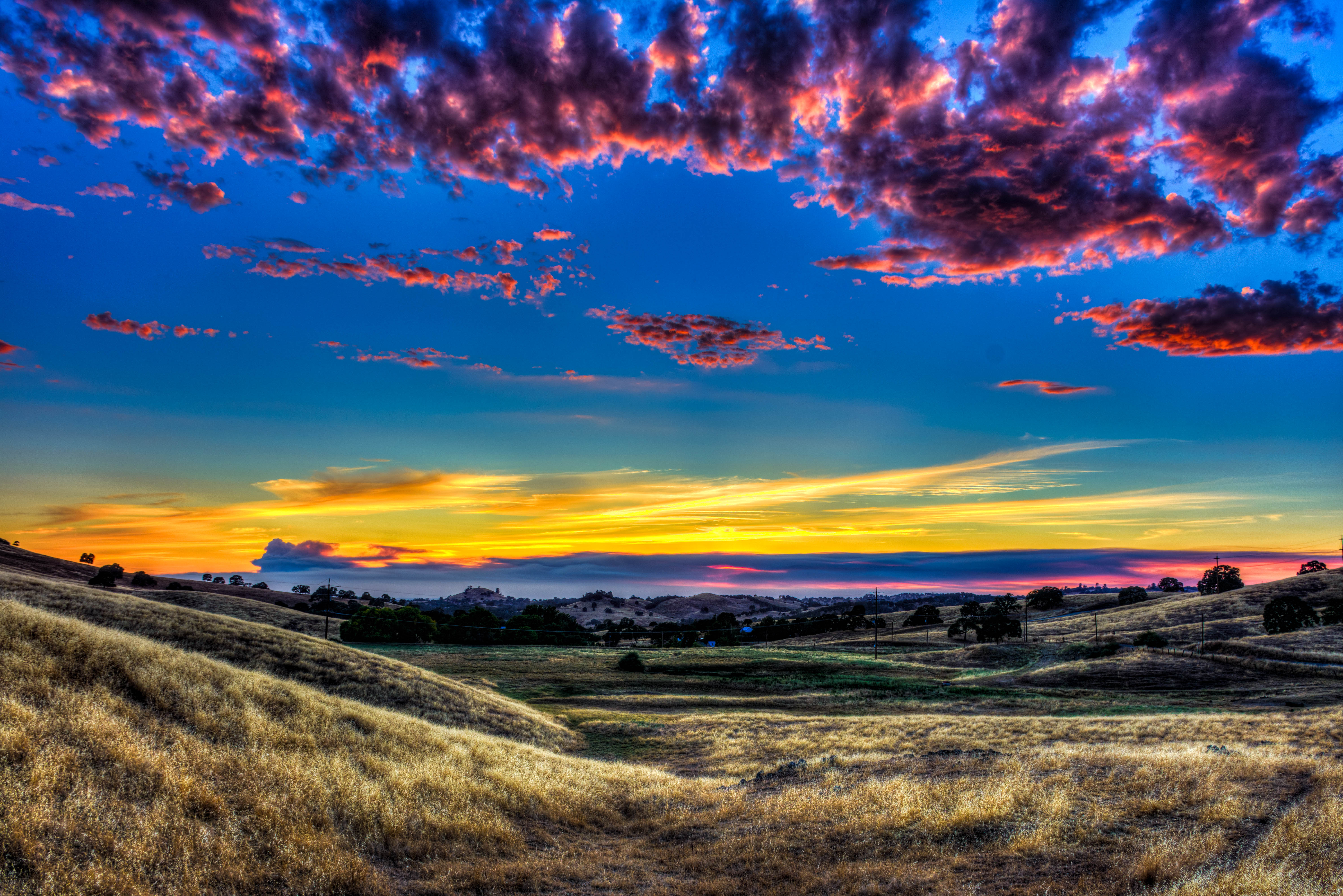
Amador Sunset
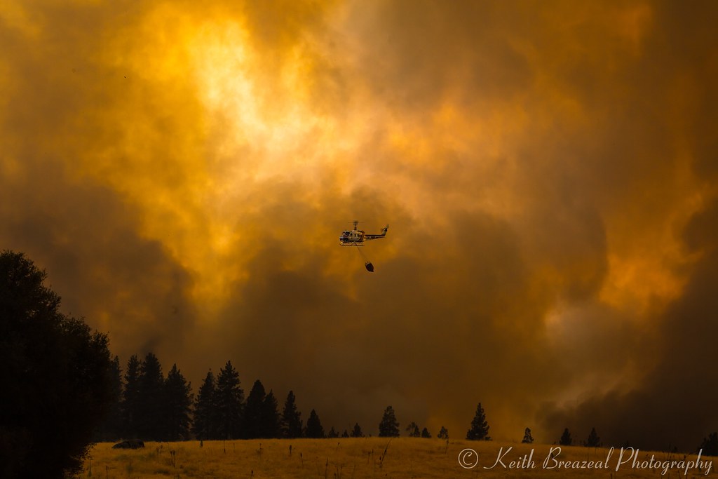
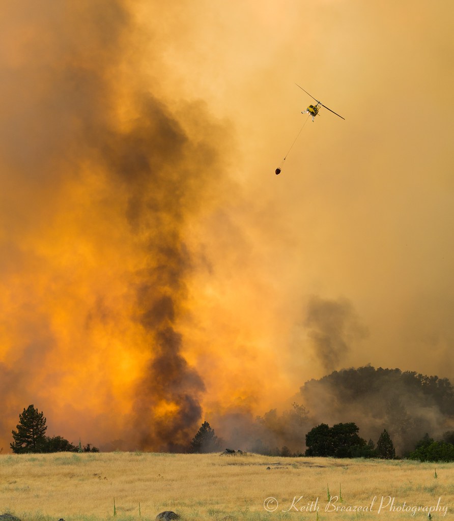
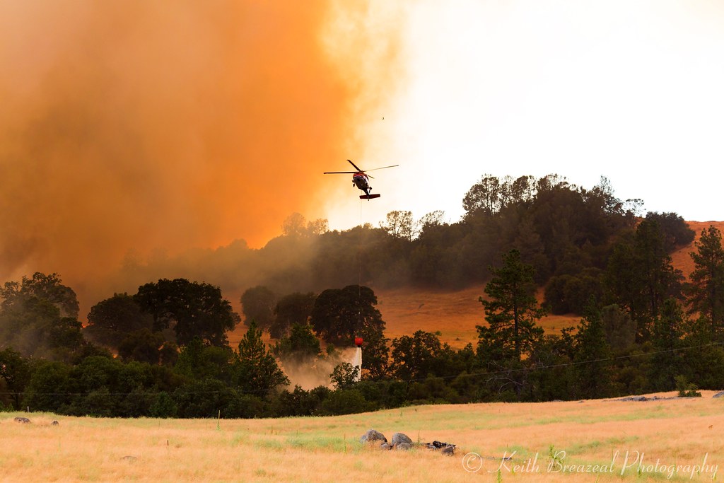
Sand Fire July 2014 © Keith Breazeal

Sacramento deluge

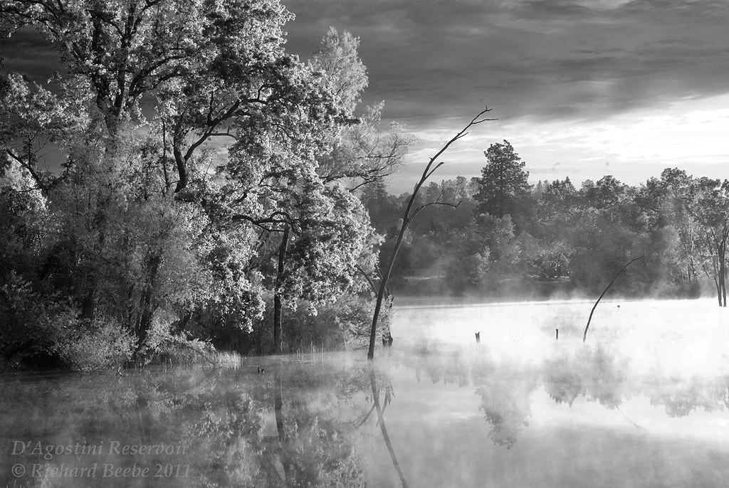
D'Agostini Reservoir

#sunset #nature #mountains #pioneer

Red Sun

Fire from beyond

Plymouth, California

Evening came early
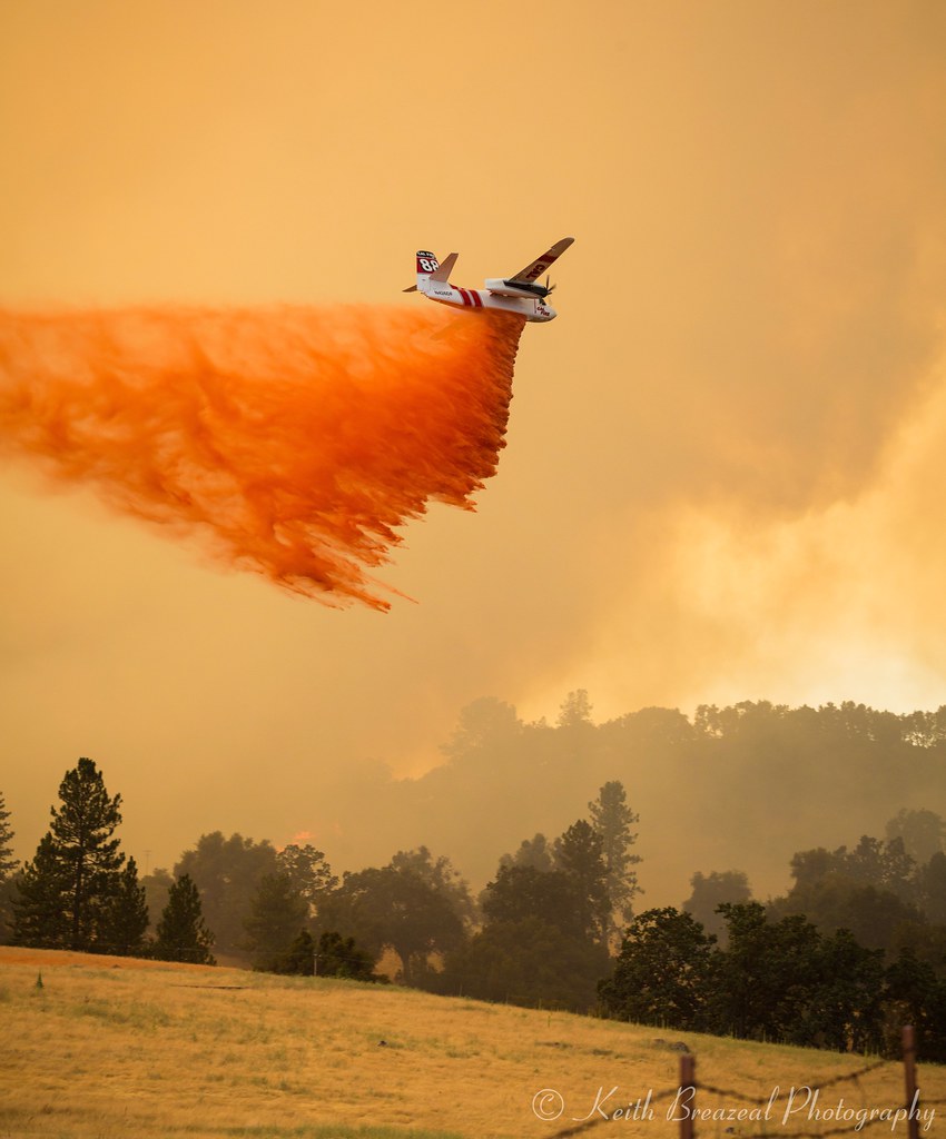
Sand Fire July 2014 © Keith Breazeal-38
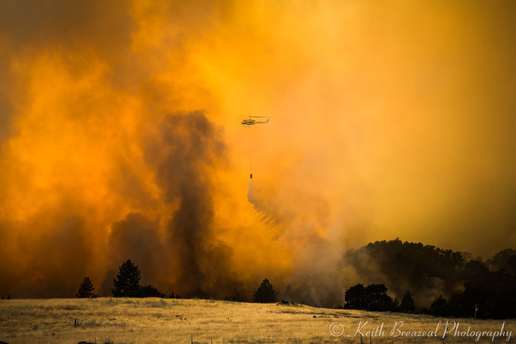
Sand Fire July 2014 © Keith Breazeal-19

Sand Fire July 2014 © Keith Breazeal-23

The Shed on the Pond

Sand Fire July 2014 © Keith Breazeal-30
Sand Fire July 2014 © Keith Breazeal-21

Sand Fire July 2014 © Keith Breazeal-28
Sand Fire July 2014 © Keith Breazeal-24

Sand Fire July 2014 © Keith Breazeal-20

Sunset Over Sutter Creek

At the End of the Day at the Pond
RB_05-27-11_033bw1_D'AgostiniRes-Sunrise

Sunrise through the trees in Amador County

Sunrise through the trees in Amador County

Sunrise through the trees in Amador County

Sunrise through the trees in Amador County

Sunrise through the trees in Amador County

Sunrise through the trees in Amador County

Sunrise through the trees in Amador County

Sunrise through the trees in Amador County

Sunrise through the trees in Amador County

Sunrise through the trees in Amador County

Sunrise Behind the Trees Amador County

Sunrise through the trees in Amador County

Sunrise through the trees in Amador County
View Cir, Fiddletown, CA アメリカ合衆国の地図
別の場所を検索
近所の場所
View Cir, Fiddletown, CA アメリカ合衆国
View Circle Rd, California アメリカ合衆国ビュー・サークル・ロード
Wildlife Trail, California, アメリカ合衆国ワイルドライフ・トレイル
View Cir, Fiddletown, CA アメリカ合衆国
Cedar Pines Dr, California, アメリカ合衆国シダー・パインズ・ドライブ
Red Mule Rd, Fiddletown, CA アメリカ合衆国
Black Oak Dr, Fiddletown, CA アメリカ合衆国
Mella Dr, Volcano, CA アメリカ合衆国Mella Drive
Hale Rd, Volcano, CA アメリカ合衆国
Nina Ln, Fiddletown, CA アメリカ合衆国
Shake Ridge Rd, Volcano, CA アメリカ合衆国
Charleston Rd, Volcano, CA アメリカ合衆国
Charleston Ct, Volcano, CA アメリカ合衆国
Charleston Ct, Volcano, CA アメリカ合衆国
Laurel Canyon Rd, Sutter Creek, CA アメリカ合衆国
Meadow Rd, Sutter Creek, CA アメリカ合衆国
Louise Ln, Sutter Creek, CA アメリカ合衆国
Ponderosa Hills Rd, Volcano, CA アメリカ合衆国
Louise Ln, Sutter Creek, CA アメリカ合衆国
Sutter Creek Volcano Rd, Sutter Creek, CA アメリカ合衆国
最近の検索
- 55 Cassick Valley Rd, Wellfleet, MA アメリカ合衆国日の出日の入り時間
- 日本、〒- 東京都八王子市高尾町高尾山口駅日の出日の入り時間
- Somanouchicho, Tenri, Nara -, Japan日の出日の入り時間
- Kota Ternate Utara, Ternate City, North Maluku, インドネシア日の出日の入り時間
- Zhongzheng S Rd, Sanchong District, New Taipei City, 台湾 Zhongzheng South Road日の出日の入り時間
- コンゴ民主共和国 リュアラバ日の出日の入り時間
- スペイン オーレンセ ア・ポブラ・デ・トリーベス日の出日の入り時間
- Šodolovci, Croatia日の出日の入り時間
- ドイツ 〒 ピュンデリッヒ日の出日の入り時間
- Steamboat Island Road Northwest, Olympia, WA アメリカ合衆国日の出日の入り時間