アメリカ合衆国 〒 ネバダ州 サミット山日の出日の入り時間
Location: アメリカ合衆国 > ネバダ州 > アメリカ合衆国 〒 ネバダ州 ユリーカ >
時間帯:
America/Los_Angeles
現地時間:
2024-05-14 00:08:09
経度:
-116.4614607
緯度:
39.3765955
今日の日の出時刻:
05:31:57 AM
今日の日の入時刻:
07:52:27 PM
今日の日長:
14h 20m 30s
明日の日の出時刻:
05:31:04 AM
明日の日の入時刻:
07:53:22 PM
明日の日長:
14h 22m 18s
すべて表示する
| 日付 | 日出 | 日没 | 日長 |
|---|---|---|---|
| 2024年01月01日 | 07:05:50 AM | 04:33:36 PM | 9h 27m 46s |
| 2024年01月02日 | 07:05:55 AM | 04:34:26 PM | 9h 28m 31s |
| 2024年01月03日 | 07:05:58 AM | 04:35:18 PM | 9h 29m 20s |
| 2024年01月04日 | 07:05:59 AM | 04:36:12 PM | 9h 30m 13s |
| 2024年01月05日 | 07:05:57 AM | 04:37:06 PM | 9h 31m 9s |
| 2024年01月06日 | 07:05:54 AM | 04:38:02 PM | 9h 32m 8s |
| 2024年01月07日 | 07:05:48 AM | 04:38:59 PM | 9h 33m 11s |
| 2024年01月08日 | 07:05:40 AM | 04:39:57 PM | 9h 34m 17s |
| 2024年01月09日 | 07:05:30 AM | 04:40:57 PM | 9h 35m 27s |
| 2024年01月10日 | 07:05:18 AM | 04:41:57 PM | 9h 36m 39s |
| 2024年01月11日 | 07:05:03 AM | 04:42:58 PM | 9h 37m 55s |
| 2024年01月12日 | 07:04:47 AM | 04:44:01 PM | 9h 39m 14s |
| 2024年01月13日 | 07:04:28 AM | 04:45:04 PM | 9h 40m 36s |
| 2024年01月14日 | 07:04:07 AM | 04:46:08 PM | 9h 42m 1s |
| 2024年01月15日 | 07:03:44 AM | 04:47:12 PM | 9h 43m 28s |
| 2024年01月16日 | 07:03:19 AM | 04:48:18 PM | 9h 44m 59s |
| 2024年01月17日 | 07:02:52 AM | 04:49:24 PM | 9h 46m 32s |
| 2024年01月18日 | 07:02:23 AM | 04:50:31 PM | 9h 48m 8s |
| 2024年01月19日 | 07:01:52 AM | 04:51:38 PM | 9h 49m 46s |
| 2024年01月20日 | 07:01:19 AM | 04:52:46 PM | 9h 51m 27s |
| 2024年01月21日 | 07:00:43 AM | 04:53:54 PM | 9h 53m 11s |
| 2024年01月22日 | 07:00:06 AM | 04:55:03 PM | 9h 54m 57s |
| 2024年01月23日 | 06:59:27 AM | 04:56:12 PM | 9h 56m 45s |
| 2024年01月24日 | 06:58:46 AM | 04:57:21 PM | 9h 58m 35s |
| 2024年01月25日 | 06:58:03 AM | 04:58:31 PM | 10h 0m 28s |
| 2024年01月26日 | 06:57:19 AM | 04:59:41 PM | 10h 2m 22s |
| 2024年01月27日 | 06:56:32 AM | 05:00:51 PM | 10h 4m 19s |
| 2024年01月28日 | 06:55:44 AM | 05:02:02 PM | 10h 6m 18s |
| 2024年01月29日 | 06:54:54 AM | 05:03:12 PM | 10h 8m 18s |
| 2024年01月30日 | 06:54:02 AM | 05:04:23 PM | 10h 10m 21s |
| 2024年01月31日 | 06:53:08 AM | 05:05:34 PM | 10h 12m 26s |
| 2024年02月01日 | 06:52:13 AM | 05:06:44 PM | 10h 14m 31s |
| 2024年02月02日 | 06:51:16 AM | 05:07:55 PM | 10h 16m 39s |
| 2024年02月03日 | 06:50:18 AM | 05:09:06 PM | 10h 18m 48s |
| 2024年02月04日 | 06:49:18 AM | 05:10:16 PM | 10h 20m 58s |
| 2024年02月05日 | 06:48:16 AM | 05:11:27 PM | 10h 23m 11s |
| 2024年02月06日 | 06:47:13 AM | 05:12:38 PM | 10h 25m 25s |
| 2024年02月07日 | 06:46:08 AM | 05:13:48 PM | 10h 27m 40s |
| 2024年02月08日 | 06:45:02 AM | 05:14:58 PM | 10h 29m 56s |
| 2024年02月09日 | 06:43:55 AM | 05:16:08 PM | 10h 32m 13s |
| 2024年02月10日 | 06:42:46 AM | 05:17:18 PM | 10h 34m 32s |
| 2024年02月11日 | 06:41:36 AM | 05:18:28 PM | 10h 36m 52s |
| 2024年02月12日 | 06:40:25 AM | 05:19:37 PM | 10h 39m 12s |
| 2024年02月13日 | 06:39:12 AM | 05:20:46 PM | 10h 41m 34s |
| 2024年02月14日 | 06:37:58 AM | 05:21:55 PM | 10h 43m 57s |
| 2024年02月15日 | 06:36:43 AM | 05:23:04 PM | 10h 46m 21s |
| 2024年02月16日 | 06:35:27 AM | 05:24:13 PM | 10h 48m 46s |
| 2024年02月17日 | 06:34:10 AM | 05:25:21 PM | 10h 51m 11s |
| 2024年02月18日 | 06:32:51 AM | 05:26:29 PM | 10h 53m 38s |
| 2024年02月19日 | 06:31:32 AM | 05:27:36 PM | 10h 56m 4s |
| 2024年02月20日 | 06:30:11 AM | 05:28:43 PM | 10h 58m 32s |
| 2024年02月21日 | 06:28:50 AM | 05:29:50 PM | 11h 1m 0s |
| 2024年02月22日 | 06:27:28 AM | 05:30:57 PM | 11h 3m 29s |
| 2024年02月23日 | 06:26:04 AM | 05:32:04 PM | 11h 6m 0s |
| 2024年02月24日 | 06:24:40 AM | 05:33:10 PM | 11h 8m 30s |
| 2024年02月25日 | 06:23:15 AM | 05:34:15 PM | 11h 11m 0s |
| 2024年02月26日 | 06:21:49 AM | 05:35:21 PM | 11h 13m 32s |
| 2024年02月27日 | 06:20:23 AM | 05:36:26 PM | 11h 16m 3s |
| 2024年02月28日 | 06:18:55 AM | 05:37:31 PM | 11h 18m 36s |
| 2024年02月29日 | 06:17:27 AM | 05:38:35 PM | 11h 21m 8s |
| 2024年03月01日 | 06:15:58 AM | 05:39:40 PM | 11h 23m 42s |
| 2024年03月02日 | 06:14:29 AM | 05:40:43 PM | 11h 26m 14s |
| 2024年03月03日 | 06:12:59 AM | 05:41:47 PM | 11h 28m 48s |
| 2024年03月04日 | 06:11:28 AM | 05:42:51 PM | 11h 31m 23s |
| 2024年03月05日 | 06:09:57 AM | 05:43:54 PM | 11h 33m 57s |
| 2024年03月06日 | 06:08:25 AM | 05:44:56 PM | 11h 36m 31s |
| 2024年03月07日 | 06:06:53 AM | 05:45:59 PM | 11h 39m 6s |
| 2024年03月08日 | 06:05:20 AM | 05:47:01 PM | 11h 41m 41s |
| 2024年03月09日 | 06:03:47 AM | 05:48:03 PM | 11h 44m 16s |
| 2024年03月10日 | 07:02:18 AM | 06:49:03 PM | 11h 46m 45s |
| 2024年03月11日 | 07:00:44 AM | 06:50:04 PM | 11h 49m 20s |
| 2024年03月12日 | 06:59:10 AM | 06:51:05 PM | 11h 51m 55s |
| 2024年03月13日 | 06:57:35 AM | 06:52:07 PM | 11h 54m 32s |
| 2024年03月14日 | 06:56:01 AM | 06:53:08 PM | 11h 57m 7s |
| 2024年03月15日 | 06:54:26 AM | 06:54:08 PM | 11h 59m 42s |
| 2024年03月16日 | 06:52:51 AM | 06:55:09 PM | 12h 2m 18s |
| 2024年03月17日 | 06:51:15 AM | 06:56:09 PM | 12h 4m 54s |
| 2024年03月18日 | 06:49:40 AM | 06:57:10 PM | 12h 7m 30s |
| 2024年03月19日 | 06:48:04 AM | 06:58:10 PM | 12h 10m 6s |
| 2024年03月20日 | 06:46:29 AM | 06:59:10 PM | 12h 12m 41s |
| 2024年03月21日 | 06:44:53 AM | 07:00:09 PM | 12h 15m 16s |
| 2024年03月22日 | 06:43:17 AM | 07:01:09 PM | 12h 17m 52s |
| 2024年03月23日 | 06:41:41 AM | 07:02:09 PM | 12h 20m 28s |
| 2024年03月24日 | 06:40:06 AM | 07:03:08 PM | 12h 23m 2s |
| 2024年03月25日 | 06:38:30 AM | 07:04:08 PM | 12h 25m 38s |
| 2024年03月26日 | 06:36:55 AM | 07:05:07 PM | 12h 28m 12s |
| 2024年03月27日 | 06:35:19 AM | 07:06:06 PM | 12h 30m 47s |
| 2024年03月28日 | 06:33:44 AM | 07:07:05 PM | 12h 33m 21s |
| 2024年03月29日 | 06:32:09 AM | 07:08:05 PM | 12h 35m 56s |
| 2024年03月30日 | 06:30:34 AM | 07:09:04 PM | 12h 38m 30s |
| 2024年03月31日 | 06:28:59 AM | 07:10:03 PM | 12h 41m 4s |
| 2024年04月01日 | 06:27:25 AM | 07:11:02 PM | 12h 43m 37s |
| 2024年04月02日 | 06:25:51 AM | 07:12:01 PM | 12h 46m 10s |
| 2024年04月03日 | 06:24:17 AM | 07:13:00 PM | 12h 48m 43s |
| 2024年04月04日 | 06:22:44 AM | 07:13:59 PM | 12h 51m 15s |
| 2024年04月05日 | 06:21:11 AM | 07:14:58 PM | 12h 53m 47s |
| 2024年04月06日 | 06:19:39 AM | 07:15:57 PM | 12h 56m 18s |
| 2024年04月07日 | 06:18:07 AM | 07:16:56 PM | 12h 58m 49s |
| 2024年04月08日 | 06:16:35 AM | 07:17:55 PM | 13h 1m 20s |
| 2024年04月09日 | 06:15:04 AM | 07:18:54 PM | 13h 3m 50s |
| 2024年04月10日 | 06:13:34 AM | 07:19:53 PM | 13h 6m 19s |
| 2024年04月11日 | 06:12:04 AM | 07:20:52 PM | 13h 8m 48s |
| 2024年04月12日 | 06:10:34 AM | 07:21:51 PM | 13h 11m 17s |
| 2024年04月13日 | 06:09:06 AM | 07:22:51 PM | 13h 13m 45s |
| 2024年04月14日 | 06:07:38 AM | 07:23:50 PM | 13h 16m 12s |
| 2024年04月15日 | 06:06:10 AM | 07:24:49 PM | 13h 18m 39s |
| 2024年04月16日 | 06:04:44 AM | 07:25:48 PM | 13h 21m 4s |
| 2024年04月17日 | 06:03:18 AM | 07:26:48 PM | 13h 23m 30s |
| 2024年04月18日 | 06:01:53 AM | 07:27:47 PM | 13h 25m 54s |
| 2024年04月19日 | 06:00:29 AM | 07:28:46 PM | 13h 28m 17s |
| 2024年04月20日 | 05:59:06 AM | 07:29:46 PM | 13h 30m 40s |
| 2024年04月21日 | 05:57:43 AM | 07:30:45 PM | 13h 33m 2s |
| 2024年04月22日 | 05:56:22 AM | 07:31:44 PM | 13h 35m 22s |
| 2024年04月23日 | 05:55:01 AM | 07:32:44 PM | 13h 37m 43s |
| 2024年04月24日 | 05:53:42 AM | 07:33:43 PM | 13h 40m 1s |
| 2024年04月25日 | 05:52:23 AM | 07:34:42 PM | 13h 42m 19s |
| 2024年04月26日 | 05:51:06 AM | 07:35:41 PM | 13h 44m 35s |
| 2024年04月27日 | 05:49:49 AM | 07:36:41 PM | 13h 46m 52s |
| 2024年04月28日 | 05:48:34 AM | 07:37:40 PM | 13h 49m 6s |
| 2024年04月29日 | 05:47:20 AM | 07:38:39 PM | 13h 51m 19s |
| 2024年04月30日 | 05:46:07 AM | 07:39:38 PM | 13h 53m 31s |
| 2024年05月01日 | 05:44:55 AM | 07:40:37 PM | 13h 55m 42s |
| 2024年05月02日 | 05:43:44 AM | 07:41:35 PM | 13h 57m 51s |
| 2024年05月03日 | 05:42:35 AM | 07:42:34 PM | 13h 59m 59s |
| 2024年05月04日 | 05:41:27 AM | 07:43:32 PM | 14h 2m 5s |
| 2024年05月05日 | 05:40:20 AM | 07:44:30 PM | 14h 4m 10s |
| 2024年05月06日 | 05:39:15 AM | 07:45:28 PM | 14h 6m 13s |
| 2024年05月07日 | 05:38:11 AM | 07:46:26 PM | 14h 8m 15s |
| 2024年05月08日 | 05:37:09 AM | 07:47:24 PM | 14h 10m 15s |
| 2024年05月09日 | 05:36:07 AM | 07:48:21 PM | 14h 12m 14s |
| 2024年05月10日 | 05:35:08 AM | 07:49:18 PM | 14h 14m 10s |
| 2024年05月11日 | 05:34:10 AM | 07:50:14 PM | 14h 16m 4s |
| 2024年05月12日 | 05:33:13 AM | 07:51:10 PM | 14h 17m 57s |
| 2024年05月13日 | 05:32:18 AM | 07:52:06 PM | 14h 19m 48s |
| 2024年05月14日 | 05:31:24 AM | 07:53:01 PM | 14h 21m 37s |
| 2024年05月15日 | 05:30:32 AM | 07:53:56 PM | 14h 23m 24s |
| 2024年05月16日 | 05:29:42 AM | 07:54:50 PM | 14h 25m 8s |
| 2024年05月17日 | 05:28:53 AM | 07:55:44 PM | 14h 26m 51s |
| 2024年05月18日 | 05:28:06 AM | 07:56:37 PM | 14h 28m 31s |
| 2024年05月19日 | 05:27:21 AM | 07:57:30 PM | 14h 30m 9s |
| 2024年05月20日 | 05:26:37 AM | 07:58:22 PM | 14h 31m 45s |
| 2024年05月21日 | 05:25:55 AM | 07:59:13 PM | 14h 33m 18s |
| 2024年05月22日 | 05:25:15 AM | 08:00:04 PM | 14h 34m 49s |
| 2024年05月23日 | 05:24:37 AM | 08:00:54 PM | 14h 36m 17s |
| 2024年05月24日 | 05:24:00 AM | 08:01:42 PM | 14h 37m 42s |
| 2024年05月25日 | 05:23:26 AM | 08:02:31 PM | 14h 39m 5s |
| 2024年05月26日 | 05:22:53 AM | 08:03:18 PM | 14h 40m 25s |
| 2024年05月27日 | 05:22:21 AM | 08:04:04 PM | 14h 41m 43s |
| 2024年05月28日 | 05:21:52 AM | 08:04:50 PM | 14h 42m 58s |
| 2024年05月29日 | 05:21:25 AM | 08:05:34 PM | 14h 44m 9s |
| 2024年05月30日 | 05:20:59 AM | 08:06:17 PM | 14h 45m 18s |
| 2024年05月31日 | 05:20:36 AM | 08:07:00 PM | 14h 46m 24s |
| 2024年06月01日 | 05:20:14 AM | 08:07:41 PM | 14h 47m 27s |
| 2024年06月02日 | 05:19:54 AM | 08:08:21 PM | 14h 48m 27s |
| 2024年06月03日 | 05:19:36 AM | 08:08:59 PM | 14h 49m 23s |
| 2024年06月04日 | 05:19:20 AM | 08:09:37 PM | 14h 50m 17s |
| 2024年06月05日 | 05:19:06 AM | 08:10:13 PM | 14h 51m 7s |
| 2024年06月06日 | 05:18:54 AM | 08:10:48 PM | 14h 51m 54s |
| 2024年06月07日 | 05:18:43 AM | 08:11:21 PM | 14h 52m 38s |
| 2024年06月08日 | 05:18:35 AM | 08:11:53 PM | 14h 53m 18s |
| 2024年06月09日 | 05:18:29 AM | 08:12:24 PM | 14h 53m 55s |
| 2024年06月10日 | 05:18:24 AM | 08:12:53 PM | 14h 54m 29s |
| 2024年06月11日 | 05:18:21 AM | 08:13:21 PM | 14h 55m 0s |
| 2024年06月12日 | 05:18:20 AM | 08:13:47 PM | 14h 55m 27s |
| 2024年06月13日 | 05:18:21 AM | 08:14:12 PM | 14h 55m 51s |
| 2024年06月14日 | 05:18:24 AM | 08:14:34 PM | 14h 56m 10s |
| 2024年06月15日 | 05:18:29 AM | 08:14:56 PM | 14h 56m 27s |
| 2024年06月16日 | 05:18:35 AM | 08:15:15 PM | 14h 56m 40s |
| 2024年06月17日 | 05:18:43 AM | 08:15:33 PM | 14h 56m 50s |
| 2024年06月18日 | 05:18:53 AM | 08:15:49 PM | 14h 56m 56s |
| 2024年06月19日 | 05:19:05 AM | 08:16:04 PM | 14h 56m 59s |
| 2024年06月20日 | 05:19:19 AM | 08:16:16 PM | 14h 56m 57s |
| 2024年06月21日 | 05:19:34 AM | 08:16:27 PM | 14h 56m 53s |
| 2024年06月22日 | 05:19:51 AM | 08:16:36 PM | 14h 56m 45s |
| 2024年06月23日 | 05:20:09 AM | 08:16:43 PM | 14h 56m 34s |
| 2024年06月24日 | 05:20:29 AM | 08:16:49 PM | 14h 56m 20s |
| 2024年06月25日 | 05:20:51 AM | 08:16:52 PM | 14h 56m 1s |
| 2024年06月26日 | 05:21:15 AM | 08:16:53 PM | 14h 55m 38s |
| 2024年06月27日 | 05:21:39 AM | 08:16:53 PM | 14h 55m 14s |
| 2024年06月28日 | 05:22:06 AM | 08:16:51 PM | 14h 54m 45s |
| 2024年06月29日 | 05:22:33 AM | 08:16:46 PM | 14h 54m 13s |
| 2024年06月30日 | 05:23:03 AM | 08:16:40 PM | 14h 53m 37s |
| 2024年07月01日 | 05:23:33 AM | 08:16:32 PM | 14h 52m 59s |
| 2024年07月02日 | 05:24:05 AM | 08:16:22 PM | 14h 52m 17s |
| 2024年07月03日 | 05:24:39 AM | 08:16:10 PM | 14h 51m 31s |
| 2024年07月04日 | 05:25:13 AM | 08:15:56 PM | 14h 50m 43s |
| 2024年07月05日 | 05:25:49 AM | 08:15:40 PM | 14h 49m 51s |
| 2024年07月06日 | 05:26:26 AM | 08:15:22 PM | 14h 48m 56s |
| 2024年07月07日 | 05:27:04 AM | 08:15:02 PM | 14h 47m 58s |
| 2024年07月08日 | 05:27:43 AM | 08:14:41 PM | 14h 46m 58s |
| 2024年07月09日 | 05:28:23 AM | 08:14:17 PM | 14h 45m 54s |
| 2024年07月10日 | 05:29:05 AM | 08:13:51 PM | 14h 44m 46s |
| 2024年07月11日 | 05:29:47 AM | 08:13:24 PM | 14h 43m 37s |
| 2024年07月12日 | 05:30:30 AM | 08:12:54 PM | 14h 42m 24s |
| 2024年07月13日 | 05:31:14 AM | 08:12:23 PM | 14h 41m 9s |
| 2024年07月14日 | 05:31:59 AM | 08:11:50 PM | 14h 39m 51s |
| 2024年07月15日 | 05:32:45 AM | 08:11:15 PM | 14h 38m 30s |
| 2024年07月16日 | 05:33:32 AM | 08:10:38 PM | 14h 37m 6s |
| 2024年07月17日 | 05:34:19 AM | 08:09:59 PM | 14h 35m 40s |
| 2024年07月18日 | 05:35:07 AM | 08:09:19 PM | 14h 34m 12s |
| 2024年07月19日 | 05:35:56 AM | 08:08:37 PM | 14h 32m 41s |
| 2024年07月20日 | 05:36:45 AM | 08:07:53 PM | 14h 31m 8s |
| 2024年07月21日 | 05:37:35 AM | 08:07:07 PM | 14h 29m 32s |
| 2024年07月22日 | 05:38:26 AM | 08:06:19 PM | 14h 27m 53s |
| 2024年07月23日 | 05:39:17 AM | 08:05:30 PM | 14h 26m 13s |
| 2024年07月24日 | 05:40:08 AM | 08:04:39 PM | 14h 24m 31s |
| 2024年07月25日 | 05:41:00 AM | 08:03:47 PM | 14h 22m 47s |
| 2024年07月26日 | 05:41:53 AM | 08:02:53 PM | 14h 21m 0s |
| 2024年07月27日 | 05:42:46 AM | 08:01:57 PM | 14h 19m 11s |
| 2024年07月28日 | 05:43:39 AM | 08:01:00 PM | 14h 17m 21s |
| 2024年07月29日 | 05:44:32 AM | 08:00:01 PM | 14h 15m 29s |
| 2024年07月30日 | 05:45:26 AM | 07:59:00 PM | 14h 13m 34s |
| 2024年07月31日 | 05:46:20 AM | 07:57:59 PM | 14h 11m 39s |
| 2024年08月01日 | 05:47:15 AM | 07:56:55 PM | 14h 9m 40s |
| 2024年08月02日 | 05:48:09 AM | 07:55:50 PM | 14h 7m 41s |
| 2024年08月03日 | 05:49:04 AM | 07:54:44 PM | 14h 5m 40s |
| 2024年08月04日 | 05:49:59 AM | 07:53:37 PM | 14h 3m 38s |
| 2024年08月05日 | 05:50:54 AM | 07:52:28 PM | 14h 1m 34s |
| 2024年08月06日 | 05:51:49 AM | 07:51:18 PM | 13h 59m 29s |
| 2024年08月07日 | 05:52:44 AM | 07:50:06 PM | 13h 57m 22s |
| 2024年08月08日 | 05:53:40 AM | 07:48:53 PM | 13h 55m 13s |
| 2024年08月09日 | 05:54:35 AM | 07:47:40 PM | 13h 53m 5s |
| 2024年08月10日 | 05:55:31 AM | 07:46:24 PM | 13h 50m 53s |
| 2024年08月11日 | 05:56:26 AM | 07:45:08 PM | 13h 48m 42s |
| 2024年08月12日 | 05:57:22 AM | 07:43:51 PM | 13h 46m 29s |
| 2024年08月13日 | 05:58:17 AM | 07:42:32 PM | 13h 44m 15s |
| 2024年08月14日 | 05:59:13 AM | 07:41:13 PM | 13h 42m 0s |
| 2024年08月15日 | 06:00:09 AM | 07:39:52 PM | 13h 39m 43s |
| 2024年08月16日 | 06:01:04 AM | 07:38:30 PM | 13h 37m 26s |
| 2024年08月17日 | 06:02:00 AM | 07:37:08 PM | 13h 35m 8s |
| 2024年08月18日 | 06:02:55 AM | 07:35:44 PM | 13h 32m 49s |
| 2024年08月19日 | 06:03:51 AM | 07:34:20 PM | 13h 30m 29s |
| 2024年08月20日 | 06:04:46 AM | 07:32:54 PM | 13h 28m 8s |
| 2024年08月21日 | 06:05:42 AM | 07:31:28 PM | 13h 25m 46s |
| 2024年08月22日 | 06:06:37 AM | 07:30:01 PM | 13h 23m 24s |
| 2024年08月23日 | 06:07:32 AM | 07:28:33 PM | 13h 21m 1s |
| 2024年08月24日 | 06:08:27 AM | 07:27:05 PM | 13h 18m 38s |
| 2024年08月25日 | 06:09:23 AM | 07:25:35 PM | 13h 16m 12s |
| 2024年08月26日 | 06:10:18 AM | 07:24:05 PM | 13h 13m 47s |
| 2024年08月27日 | 06:11:13 AM | 07:22:34 PM | 13h 11m 21s |
| 2024年08月28日 | 06:12:08 AM | 07:21:03 PM | 13h 8m 55s |
| 2024年08月29日 | 06:13:03 AM | 07:19:31 PM | 13h 6m 28s |
| 2024年08月30日 | 06:13:57 AM | 07:17:59 PM | 13h 4m 2s |
| 2024年08月31日 | 06:14:52 AM | 07:16:26 PM | 13h 1m 34s |
| 2024年09月01日 | 06:15:47 AM | 07:14:52 PM | 12h 59m 5s |
| 2024年09月02日 | 06:16:42 AM | 07:13:18 PM | 12h 56m 36s |
| 2024年09月03日 | 06:17:36 AM | 07:11:43 PM | 12h 54m 7s |
| 2024年09月04日 | 06:18:31 AM | 07:10:08 PM | 12h 51m 37s |
| 2024年09月05日 | 06:19:26 AM | 07:08:33 PM | 12h 49m 7s |
| 2024年09月06日 | 06:20:20 AM | 07:06:57 PM | 12h 46m 37s |
| 2024年09月07日 | 06:21:15 AM | 07:05:21 PM | 12h 44m 6s |
| 2024年09月08日 | 06:22:10 AM | 07:03:45 PM | 12h 41m 35s |
| 2024年09月09日 | 06:23:04 AM | 07:02:08 PM | 12h 39m 4s |
| 2024年09月10日 | 06:23:59 AM | 07:00:31 PM | 12h 36m 32s |
| 2024年09月11日 | 06:24:54 AM | 06:58:54 PM | 12h 34m 0s |
| 2024年09月12日 | 06:25:48 AM | 06:57:17 PM | 12h 31m 29s |
| 2024年09月13日 | 06:26:43 AM | 06:55:39 PM | 12h 28m 56s |
| 2024年09月14日 | 06:27:38 AM | 06:54:01 PM | 12h 26m 23s |
| 2024年09月15日 | 06:28:33 AM | 06:52:24 PM | 12h 23m 51s |
| 2024年09月16日 | 06:29:28 AM | 06:50:46 PM | 12h 21m 18s |
| 2024年09月17日 | 06:30:23 AM | 06:49:08 PM | 12h 18m 45s |
| 2024年09月18日 | 06:31:18 AM | 06:47:30 PM | 12h 16m 12s |
| 2024年09月19日 | 06:32:13 AM | 06:45:52 PM | 12h 13m 39s |
| 2024年09月20日 | 06:33:08 AM | 06:44:14 PM | 12h 11m 6s |
| 2024年09月21日 | 06:34:04 AM | 06:42:36 PM | 12h 8m 32s |
| 2024年09月22日 | 06:34:59 AM | 06:40:59 PM | 12h 6m 0s |
| 2024年09月23日 | 06:35:55 AM | 06:39:21 PM | 12h 3m 26s |
| 2024年09月24日 | 06:36:51 AM | 06:37:44 PM | 12h 0m 53s |
| 2024年09月25日 | 06:37:47 AM | 06:36:07 PM | 11h 58m 20s |
| 2024年09月26日 | 06:38:44 AM | 06:34:30 PM | 11h 55m 46s |
| 2024年09月27日 | 06:39:40 AM | 06:32:53 PM | 11h 53m 13s |
| 2024年09月28日 | 06:40:37 AM | 06:31:17 PM | 11h 50m 40s |
| 2024年09月29日 | 06:41:34 AM | 06:29:40 PM | 11h 48m 6s |
| 2024年09月30日 | 06:42:31 AM | 06:28:05 PM | 11h 45m 34s |
| 2024年10月01日 | 06:43:28 AM | 06:26:29 PM | 11h 43m 1s |
| 2024年10月02日 | 06:44:26 AM | 06:24:54 PM | 11h 40m 28s |
| 2024年10月03日 | 06:45:24 AM | 06:23:20 PM | 11h 37m 56s |
| 2024年10月04日 | 06:46:22 AM | 06:21:45 PM | 11h 35m 23s |
| 2024年10月05日 | 06:47:21 AM | 06:20:12 PM | 11h 32m 51s |
| 2024年10月06日 | 06:48:19 AM | 06:18:39 PM | 11h 30m 20s |
| 2024年10月07日 | 06:49:19 AM | 06:17:06 PM | 11h 27m 47s |
| 2024年10月08日 | 06:50:18 AM | 06:15:34 PM | 11h 25m 16s |
| 2024年10月09日 | 06:51:18 AM | 06:14:03 PM | 11h 22m 45s |
| 2024年10月10日 | 06:52:18 AM | 06:12:32 PM | 11h 20m 14s |
| 2024年10月11日 | 06:53:18 AM | 06:11:02 PM | 11h 17m 44s |
| 2024年10月12日 | 06:54:18 AM | 06:09:33 PM | 11h 15m 15s |
| 2024年10月13日 | 06:55:19 AM | 06:08:04 PM | 11h 12m 45s |
| 2024年10月14日 | 06:56:21 AM | 06:06:37 PM | 11h 10m 16s |
| 2024年10月15日 | 06:57:22 AM | 06:05:10 PM | 11h 7m 48s |
| 2024年10月16日 | 06:58:24 AM | 06:03:44 PM | 11h 5m 20s |
| 2024年10月17日 | 06:59:27 AM | 06:02:18 PM | 11h 2m 51s |
| 2024年10月18日 | 07:00:29 AM | 06:00:54 PM | 11h 0m 25s |
| 2024年10月19日 | 07:01:32 AM | 05:59:31 PM | 10h 57m 59s |
| 2024年10月20日 | 07:02:35 AM | 05:58:08 PM | 10h 55m 33s |
| 2024年10月21日 | 07:03:39 AM | 05:56:47 PM | 10h 53m 8s |
| 2024年10月22日 | 07:04:43 AM | 05:55:27 PM | 10h 50m 44s |
| 2024年10月23日 | 07:05:47 AM | 05:54:08 PM | 10h 48m 21s |
| 2024年10月24日 | 07:06:52 AM | 05:52:49 PM | 10h 45m 57s |
| 2024年10月25日 | 07:07:57 AM | 05:51:33 PM | 10h 43m 36s |
| 2024年10月26日 | 07:09:02 AM | 05:50:17 PM | 10h 41m 15s |
| 2024年10月27日 | 07:10:07 AM | 05:49:02 PM | 10h 38m 55s |
| 2024年10月28日 | 07:11:13 AM | 05:47:49 PM | 10h 36m 36s |
| 2024年10月29日 | 07:12:19 AM | 05:46:37 PM | 10h 34m 18s |
| 2024年10月30日 | 07:13:25 AM | 05:45:26 PM | 10h 32m 1s |
| 2024年10月31日 | 07:14:32 AM | 05:44:17 PM | 10h 29m 45s |
| 2024年11月01日 | 07:15:38 AM | 05:43:09 PM | 10h 27m 31s |
| 2024年11月02日 | 07:16:45 AM | 05:42:03 PM | 10h 25m 18s |
| 2024年11月03日 | 06:17:55 AM | 04:40:55 PM | 10h 23m 0s |
| 2024年11月04日 | 06:19:02 AM | 04:39:52 PM | 10h 20m 50s |
| 2024年11月05日 | 06:20:09 AM | 04:38:50 PM | 10h 18m 41s |
| 2024年11月06日 | 06:21:17 AM | 04:37:50 PM | 10h 16m 33s |
| 2024年11月07日 | 06:22:24 AM | 04:36:51 PM | 10h 14m 27s |
| 2024年11月08日 | 06:23:32 AM | 04:35:54 PM | 10h 12m 22s |
| 2024年11月09日 | 06:24:39 AM | 04:34:59 PM | 10h 10m 20s |
| 2024年11月10日 | 06:25:47 AM | 04:34:05 PM | 10h 8m 18s |
| 2024年11月11日 | 06:26:55 AM | 04:33:13 PM | 10h 6m 18s |
| 2024年11月12日 | 06:28:02 AM | 04:32:23 PM | 10h 4m 21s |
| 2024年11月13日 | 06:29:09 AM | 04:31:34 PM | 10h 2m 25s |
| 2024年11月14日 | 06:30:17 AM | 04:30:48 PM | 10h 0m 31s |
| 2024年11月15日 | 06:31:24 AM | 04:30:03 PM | 9h 58m 39s |
| 2024年11月16日 | 06:32:31 AM | 04:29:21 PM | 9h 56m 50s |
| 2024年11月17日 | 06:33:37 AM | 04:28:40 PM | 9h 55m 3s |
| 2024年11月18日 | 06:34:43 AM | 04:28:01 PM | 9h 53m 18s |
| 2024年11月19日 | 06:35:49 AM | 04:27:24 PM | 9h 51m 35s |
| 2024年11月20日 | 06:36:55 AM | 04:26:49 PM | 9h 49m 54s |
| 2024年11月21日 | 06:38:00 AM | 04:26:16 PM | 9h 48m 16s |
| 2024年11月22日 | 06:39:04 AM | 04:25:45 PM | 9h 46m 41s |
| 2024年11月23日 | 06:40:08 AM | 04:25:16 PM | 9h 45m 8s |
| 2024年11月24日 | 06:41:12 AM | 04:24:50 PM | 9h 43m 38s |
| 2024年11月25日 | 06:42:15 AM | 04:24:25 PM | 9h 42m 10s |
| 2024年11月26日 | 06:43:17 AM | 04:24:03 PM | 9h 40m 46s |
| 2024年11月27日 | 06:44:18 AM | 04:23:42 PM | 9h 39m 24s |
| 2024年11月28日 | 06:45:19 AM | 04:23:24 PM | 9h 38m 5s |
| 2024年11月29日 | 06:46:19 AM | 04:23:08 PM | 9h 36m 49s |
| 2024年11月30日 | 06:47:18 AM | 04:22:55 PM | 9h 35m 37s |
| 2024年12月01日 | 06:48:16 AM | 04:22:43 PM | 9h 34m 27s |
| 2024年12月02日 | 06:49:13 AM | 04:22:34 PM | 9h 33m 21s |
| 2024年12月03日 | 06:50:08 AM | 04:22:27 PM | 9h 32m 19s |
| 2024年12月04日 | 06:51:03 AM | 04:22:22 PM | 9h 31m 19s |
| 2024年12月05日 | 06:51:57 AM | 04:22:19 PM | 9h 30m 22s |
| 2024年12月06日 | 06:52:49 AM | 04:22:19 PM | 9h 29m 30s |
| 2024年12月07日 | 06:53:40 AM | 04:22:20 PM | 9h 28m 40s |
| 2024年12月08日 | 06:54:30 AM | 04:22:24 PM | 9h 27m 54s |
| 2024年12月09日 | 06:55:19 AM | 04:22:30 PM | 9h 27m 11s |
| 2024年12月10日 | 06:56:06 AM | 04:22:39 PM | 9h 26m 33s |
| 2024年12月11日 | 06:56:51 AM | 04:22:49 PM | 9h 25m 58s |
| 2024年12月12日 | 06:57:35 AM | 04:23:02 PM | 9h 25m 27s |
| 2024年12月13日 | 06:58:18 AM | 04:23:17 PM | 9h 24m 59s |
| 2024年12月14日 | 06:58:59 AM | 04:23:34 PM | 9h 24m 35s |
| 2024年12月15日 | 06:59:38 AM | 04:23:53 PM | 9h 24m 15s |
| 2024年12月16日 | 07:00:15 AM | 04:24:14 PM | 9h 23m 59s |
| 2024年12月17日 | 07:00:51 AM | 04:24:38 PM | 9h 23m 47s |
| 2024年12月18日 | 07:01:25 AM | 04:25:03 PM | 9h 23m 38s |
| 2024年12月19日 | 07:01:57 AM | 04:25:31 PM | 9h 23m 34s |
| 2024年12月20日 | 07:02:27 AM | 04:26:00 PM | 9h 23m 33s |
| 2024年12月21日 | 07:02:56 AM | 04:26:31 PM | 9h 23m 35s |
| 2024年12月22日 | 07:03:22 AM | 04:27:05 PM | 9h 23m 43s |
| 2024年12月23日 | 07:03:46 AM | 04:27:40 PM | 9h 23m 54s |
| 2024年12月24日 | 07:04:09 AM | 04:28:17 PM | 9h 24m 8s |
| 2024年12月25日 | 07:04:29 AM | 04:28:55 PM | 9h 24m 26s |
| 2024年12月26日 | 07:04:48 AM | 04:29:36 PM | 9h 24m 48s |
| 2024年12月27日 | 07:05:04 AM | 04:30:18 PM | 9h 25m 14s |
| 2024年12月28日 | 07:05:18 AM | 04:31:02 PM | 9h 25m 44s |
| 2024年12月29日 | 07:05:30 AM | 04:31:48 PM | 9h 26m 18s |
| 2024年12月30日 | 07:05:40 AM | 04:32:35 PM | 9h 26m 55s |
写真
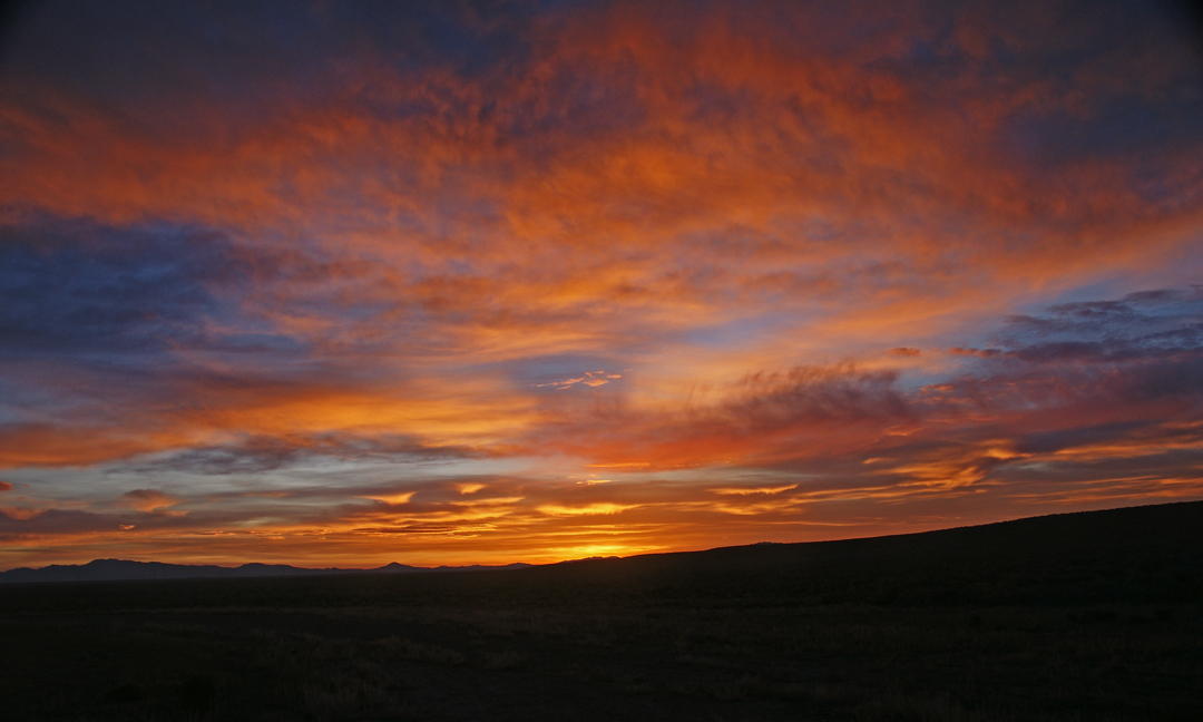
Nevada Sunrise 1
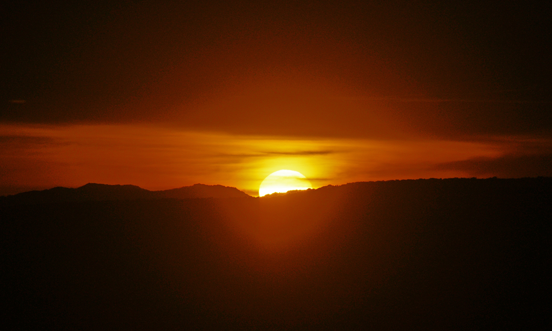
Nevada Sunrise 2

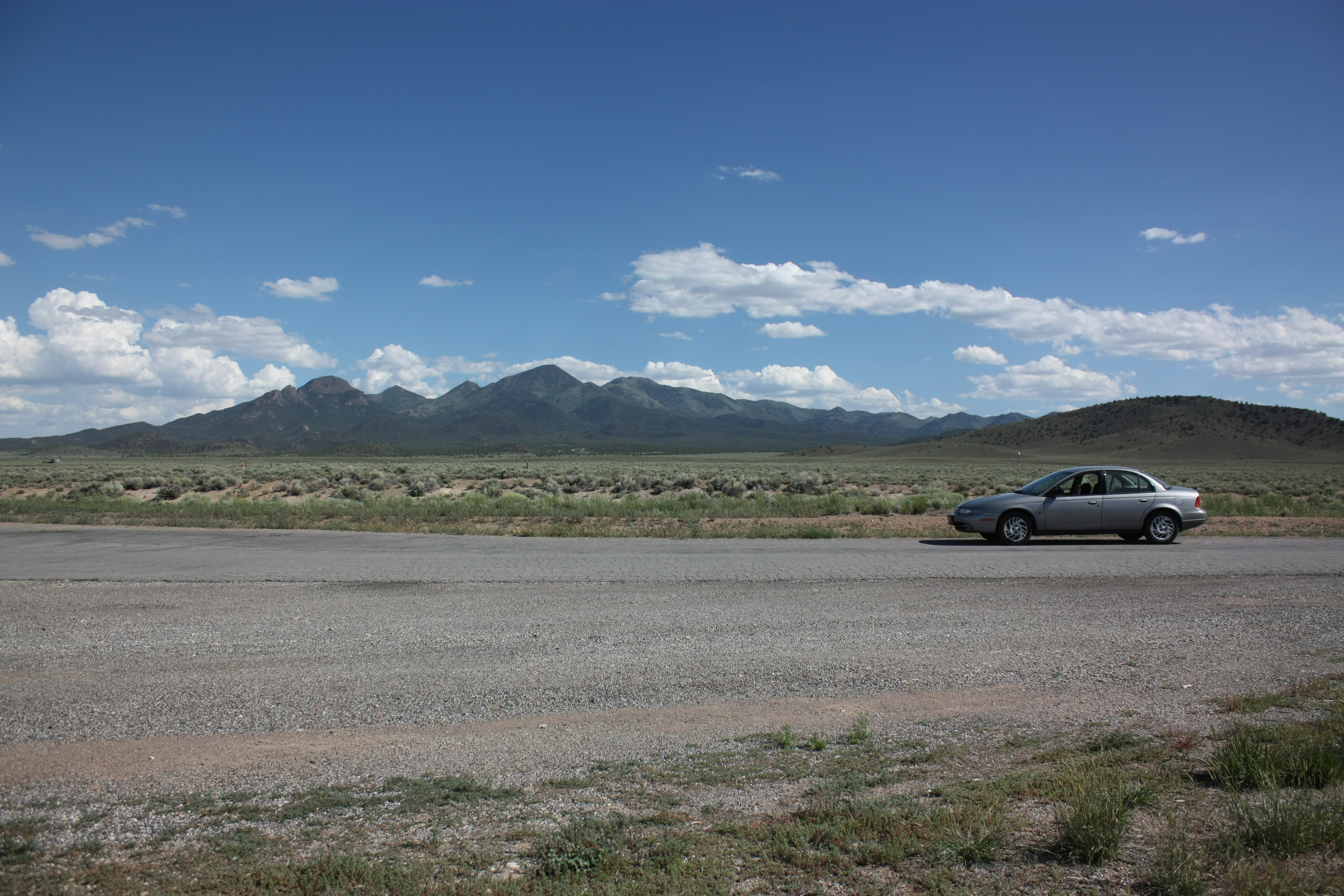
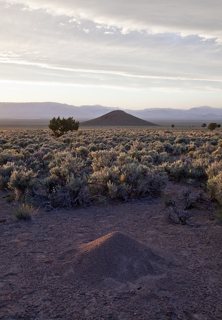
Bald Mountain
Yup - it really is lonely

David & his Brompton
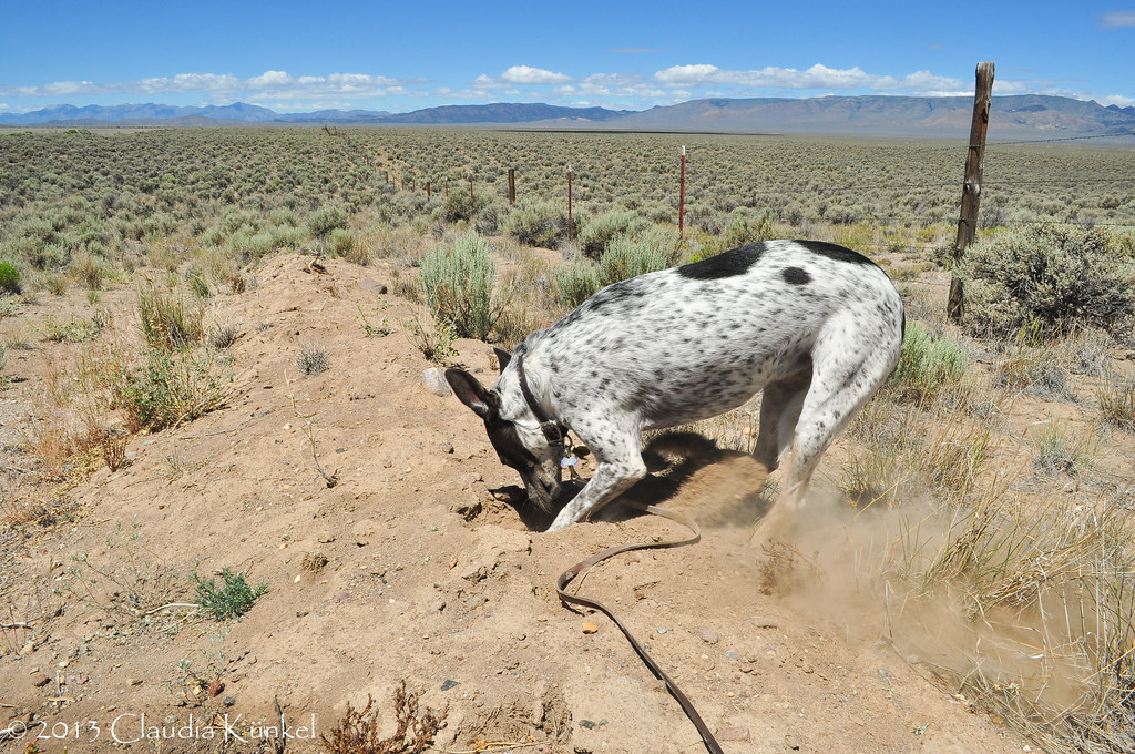
digging for silver?
Kelly Creek Equivalent - Monitor Mts
アメリカ合衆国 〒 ネバダ州 サミット山の地図
別の場所を検索
近所の場所
アメリカ合衆国 ネバダ州 クームス・ピーク
アメリカ合衆国 ネバダ州 デヴォン・ピーク
アメリカ合衆国 〒 ネバダ州 ウィスラー山
アメリカ合衆国 ネバダ州 プロスペクト・ピーク
アメリカ合衆国 〒 ネバダ州 ホープ山
アメリカ合衆国 ネバダ州 ユリーカ
アメリカ合衆国 〒 ネバダ州 ロバーツ・クリーク山
60 N Main St, Eureka, NV アメリカ合衆国Sundown Lodge
アメリカ合衆国 〒 ネバダ州 ユリーカ
アメリカ合衆国 ネバダ州 バック山
アメリカ合衆国 ネバダ州 ユニオン山
アメリカ合衆国 ネバダ州 ドライ山
アメリカ合衆国 ネバダ州 コフィン山
アメリカ合衆国 ネバダ州 ベイリー山
アメリカ合衆国 ネバダ州 アリゲーター・リッジ
アメリカ合衆国 ネバダ州 リトル・ボールド山
アメリカ合衆国 ネバダ州 ビッグ・ボールド山
アメリカ合衆国 ネバダ州 ロビンソン山
アメリカ合衆国 ネバダ州 シャーマン山
アメリカ合衆国 〒 ネバダ州 バンカー・ヒル
最近の検索
- No. 6號, Kending Rd, Hengchun Township, Pingtung County, 台湾 墾丁凱撒大飯店(シーザーパークホテル墾丁)日の出日の入り時間
- エチオピア ハディヤ州日の出日の入り時間
- エチオピア ホサイナ日の出日の入り時間
- アルゼンチン ブエノスアイレス州 ネコチェア日の出日の入り時間
- Maxine St NE, Albuquerque, NM アメリカ合衆国日の出日の入り時間
- カンボジア Krong Bavet, CityManhattan Special Economic Zone日の出日の入り時間
- 日本、〒- 茨城県東茨城郡大洗町磯浜町大洗神社東日の出日の入り時間
- Polzela, スロベニア日の出日の入り時間
- Douro River日の出日の入り時間
- Blue Point Beach, Pecatu, South Kuta, Badung Regency, Bali, インドネシア日の出日の入り時間