Rockport, WA アメリカ合衆国スティルウェル・キャンプグランド日の出日の入り時間
Location: アメリカ合衆国 > ワシントン州 > ロックポート >
時間帯:
America/Los_Angeles
現地時間:
2024-04-30 23:49:16
経度:
-121.2700045
緯度:
48.8921485
今日の日の出時刻:
05:42:27 AM
今日の日の入時刻:
08:21:40 PM
今日の日長:
14h 39m 13s
明日の日の出時刻:
05:40:48 AM
明日の日の入時刻:
08:23:07 PM
明日の日長:
14h 42m 19s
すべて表示する
| 日付 | 日出 | 日没 | 日長 |
|---|---|---|---|
| 2024年01月01日 | 07:58:28 AM | 04:19:26 PM | 8h 20m 58s |
| 2024年01月02日 | 07:58:22 AM | 04:20:28 PM | 8h 22m 6s |
| 2024年01月03日 | 07:58:13 AM | 04:21:32 PM | 8h 23m 19s |
| 2024年01月04日 | 07:58:01 AM | 04:22:38 PM | 8h 24m 37s |
| 2024年01月05日 | 07:57:46 AM | 04:23:46 PM | 8h 26m 0s |
| 2024年01月06日 | 07:57:28 AM | 04:24:57 PM | 8h 27m 29s |
| 2024年01月07日 | 07:57:07 AM | 04:26:09 PM | 8h 29m 2s |
| 2024年01月08日 | 07:56:43 AM | 04:27:23 PM | 8h 30m 40s |
| 2024年01月09日 | 07:56:16 AM | 04:28:39 PM | 8h 32m 23s |
| 2024年01月10日 | 07:55:47 AM | 04:29:57 PM | 8h 34m 10s |
| 2024年01月11日 | 07:55:14 AM | 04:31:16 PM | 8h 36m 2s |
| 2024年01月12日 | 07:54:39 AM | 04:32:37 PM | 8h 37m 58s |
| 2024年01月13日 | 07:54:01 AM | 04:33:59 PM | 8h 39m 58s |
| 2024年01月14日 | 07:53:20 AM | 04:35:23 PM | 8h 42m 3s |
| 2024年01月15日 | 07:52:37 AM | 04:36:49 PM | 8h 44m 12s |
| 2024年01月16日 | 07:51:50 AM | 04:38:15 PM | 8h 46m 25s |
| 2024年01月17日 | 07:51:02 AM | 04:39:43 PM | 8h 48m 41s |
| 2024年01月18日 | 07:50:10 AM | 04:41:12 PM | 8h 51m 2s |
| 2024年01月19日 | 07:49:16 AM | 04:42:42 PM | 8h 53m 26s |
| 2024年01月20日 | 07:48:20 AM | 04:44:13 PM | 8h 55m 53s |
| 2024年01月21日 | 07:47:21 AM | 04:45:45 PM | 8h 58m 24s |
| 2024年01月22日 | 07:46:19 AM | 04:47:18 PM | 9h 0m 59s |
| 2024年01月23日 | 07:45:16 AM | 04:48:52 PM | 9h 3m 36s |
| 2024年01月24日 | 07:44:10 AM | 04:50:27 PM | 9h 6m 17s |
| 2024年01月25日 | 07:43:01 AM | 04:52:02 PM | 9h 9m 1s |
| 2024年01月26日 | 07:41:51 AM | 04:53:38 PM | 9h 11m 47s |
| 2024年01月27日 | 07:40:38 AM | 04:55:14 PM | 9h 14m 36s |
| 2024年01月28日 | 07:39:23 AM | 04:56:51 PM | 9h 17m 28s |
| 2024年01月29日 | 07:38:06 AM | 04:58:28 PM | 9h 20m 22s |
| 2024年01月30日 | 07:36:47 AM | 05:00:06 PM | 9h 23m 19s |
| 2024年01月31日 | 07:35:26 AM | 05:01:44 PM | 9h 26m 18s |
| 2024年02月01日 | 07:34:03 AM | 05:03:22 PM | 9h 29m 19s |
| 2024年02月02日 | 07:32:38 AM | 05:05:01 PM | 9h 32m 23s |
| 2024年02月03日 | 07:31:12 AM | 05:06:40 PM | 9h 35m 28s |
| 2024年02月04日 | 07:29:43 AM | 05:08:19 PM | 9h 38m 36s |
| 2024年02月05日 | 07:28:13 AM | 05:09:58 PM | 9h 41m 45s |
| 2024年02月06日 | 07:26:41 AM | 05:11:37 PM | 9h 44m 56s |
| 2024年02月07日 | 07:25:08 AM | 05:13:17 PM | 9h 48m 9s |
| 2024年02月08日 | 07:23:33 AM | 05:14:56 PM | 9h 51m 23s |
| 2024年02月09日 | 07:21:56 AM | 05:16:35 PM | 9h 54m 39s |
| 2024年02月10日 | 07:20:18 AM | 05:18:15 PM | 9h 57m 57s |
| 2024年02月11日 | 07:18:38 AM | 05:19:54 PM | 10h 1m 16s |
| 2024年02月12日 | 07:16:57 AM | 05:21:33 PM | 10h 4m 36s |
| 2024年02月13日 | 07:15:15 AM | 05:23:12 PM | 10h 7m 57s |
| 2024年02月14日 | 07:13:31 AM | 05:24:51 PM | 10h 11m 20s |
| 2024年02月15日 | 07:11:46 AM | 05:26:29 PM | 10h 14m 43s |
| 2024年02月16日 | 07:10:00 AM | 05:28:08 PM | 10h 18m 8s |
| 2024年02月17日 | 07:08:12 AM | 05:29:46 PM | 10h 21m 34s |
| 2024年02月18日 | 07:06:23 AM | 05:31:24 PM | 10h 25m 1s |
| 2024年02月19日 | 07:04:34 AM | 05:33:02 PM | 10h 28m 28s |
| 2024年02月20日 | 07:02:43 AM | 05:34:40 PM | 10h 31m 57s |
| 2024年02月21日 | 07:00:51 AM | 05:36:17 PM | 10h 35m 26s |
| 2024年02月22日 | 06:58:58 AM | 05:37:55 PM | 10h 38m 57s |
| 2024年02月23日 | 06:57:04 AM | 05:39:32 PM | 10h 42m 28s |
| 2024年02月24日 | 06:55:09 AM | 05:41:08 PM | 10h 45m 59s |
| 2024年02月25日 | 06:53:14 AM | 05:42:45 PM | 10h 49m 31s |
| 2024年02月26日 | 06:51:17 AM | 05:44:21 PM | 10h 53m 4s |
| 2024年02月27日 | 06:49:20 AM | 05:45:57 PM | 10h 56m 37s |
| 2024年02月28日 | 06:47:22 AM | 05:47:32 PM | 11h 0m 10s |
| 2024年02月29日 | 06:45:23 AM | 05:49:07 PM | 11h 3m 44s |
| 2024年03月01日 | 06:43:23 AM | 05:50:42 PM | 11h 7m 19s |
| 2024年03月02日 | 06:41:23 AM | 05:52:17 PM | 11h 10m 54s |
| 2024年03月03日 | 06:39:22 AM | 05:53:52 PM | 11h 14m 30s |
| 2024年03月04日 | 06:37:21 AM | 05:55:26 PM | 11h 18m 5s |
| 2024年03月05日 | 06:35:19 AM | 05:57:00 PM | 11h 21m 41s |
| 2024年03月06日 | 06:33:16 AM | 05:58:33 PM | 11h 25m 17s |
| 2024年03月07日 | 06:31:13 AM | 06:00:07 PM | 11h 28m 54s |
| 2024年03月08日 | 06:29:09 AM | 06:01:40 PM | 11h 32m 31s |
| 2024年03月09日 | 06:27:06 AM | 06:03:13 PM | 11h 36m 7s |
| 2024年03月10日 | 07:25:06 AM | 07:04:42 PM | 11h 39m 36s |
| 2024年03月11日 | 07:23:02 AM | 07:06:14 PM | 11h 43m 12s |
| 2024年03月12日 | 07:20:57 AM | 07:07:46 PM | 11h 46m 49s |
| 2024年03月13日 | 07:18:51 AM | 07:09:18 PM | 11h 50m 27s |
| 2024年03月14日 | 07:16:46 AM | 07:10:50 PM | 11h 54m 4s |
| 2024年03月15日 | 07:14:40 AM | 07:12:22 PM | 11h 57m 42s |
| 2024年03月16日 | 07:12:34 AM | 07:13:53 PM | 12h 1m 19s |
| 2024年03月17日 | 07:10:28 AM | 07:15:25 PM | 12h 4m 57s |
| 2024年03月18日 | 07:08:21 AM | 07:16:56 PM | 12h 8m 35s |
| 2024年03月19日 | 07:06:15 AM | 07:18:27 PM | 12h 12m 12s |
| 2024年03月20日 | 07:04:09 AM | 07:19:57 PM | 12h 15m 48s |
| 2024年03月21日 | 07:02:02 AM | 07:21:28 PM | 12h 19m 26s |
| 2024年03月22日 | 06:59:55 AM | 07:22:59 PM | 12h 23m 4s |
| 2024年03月23日 | 06:57:49 AM | 07:24:29 PM | 12h 26m 40s |
| 2024年03月24日 | 06:55:42 AM | 07:25:59 PM | 12h 30m 17s |
| 2024年03月25日 | 06:53:36 AM | 07:27:30 PM | 12h 33m 54s |
| 2024年03月26日 | 06:51:29 AM | 07:29:00 PM | 12h 37m 31s |
| 2024年03月27日 | 06:49:23 AM | 07:30:30 PM | 12h 41m 7s |
| 2024年03月28日 | 06:47:17 AM | 07:32:00 PM | 12h 44m 43s |
| 2024年03月29日 | 06:45:11 AM | 07:33:30 PM | 12h 48m 19s |
| 2024年03月30日 | 06:43:06 AM | 07:35:00 PM | 12h 51m 54s |
| 2024年03月31日 | 06:41:00 AM | 07:36:29 PM | 12h 55m 29s |
| 2024年04月01日 | 06:38:55 AM | 07:37:59 PM | 12h 59m 4s |
| 2024年04月02日 | 06:36:50 AM | 07:39:29 PM | 13h 2m 39s |
| 2024年04月03日 | 06:34:46 AM | 07:40:59 PM | 13h 6m 13s |
| 2024年04月04日 | 06:32:42 AM | 07:42:28 PM | 13h 9m 46s |
| 2024年04月05日 | 06:30:38 AM | 07:43:58 PM | 13h 13m 20s |
| 2024年04月06日 | 06:28:35 AM | 07:45:28 PM | 13h 16m 53s |
| 2024年04月07日 | 06:26:33 AM | 07:46:57 PM | 13h 20m 24s |
| 2024年04月08日 | 06:24:31 AM | 07:48:27 PM | 13h 23m 56s |
| 2024年04月09日 | 06:22:29 AM | 07:49:57 PM | 13h 27m 28s |
| 2024年04月10日 | 06:20:28 AM | 07:51:26 PM | 13h 30m 58s |
| 2024年04月11日 | 06:18:28 AM | 07:52:56 PM | 13h 34m 28s |
| 2024年04月12日 | 06:16:28 AM | 07:54:26 PM | 13h 37m 58s |
| 2024年04月13日 | 06:14:29 AM | 07:55:55 PM | 13h 41m 26s |
| 2024年04月14日 | 06:12:31 AM | 07:57:25 PM | 13h 44m 54s |
| 2024年04月15日 | 06:10:33 AM | 07:58:54 PM | 13h 48m 21s |
| 2024年04月16日 | 06:08:36 AM | 08:00:24 PM | 13h 51m 48s |
| 2024年04月17日 | 06:06:40 AM | 08:01:53 PM | 13h 55m 13s |
| 2024年04月18日 | 06:04:45 AM | 08:03:23 PM | 13h 58m 38s |
| 2024年04月19日 | 06:02:51 AM | 08:04:52 PM | 14h 2m 1s |
| 2024年04月20日 | 06:00:58 AM | 08:06:21 PM | 14h 5m 23s |
| 2024年04月21日 | 05:59:06 AM | 08:07:50 PM | 14h 8m 44s |
| 2024年04月22日 | 05:57:14 AM | 08:09:20 PM | 14h 12m 6s |
| 2024年04月23日 | 05:55:24 AM | 08:10:49 PM | 14h 15m 25s |
| 2024年04月24日 | 05:53:35 AM | 08:12:18 PM | 14h 18m 43s |
| 2024年04月25日 | 05:51:47 AM | 08:13:46 PM | 14h 21m 59s |
| 2024年04月26日 | 05:50:00 AM | 08:15:15 PM | 14h 25m 15s |
| 2024年04月27日 | 05:48:15 AM | 08:16:43 PM | 14h 28m 28s |
| 2024年04月28日 | 05:46:30 AM | 08:18:11 PM | 14h 31m 41s |
| 2024年04月29日 | 05:44:47 AM | 08:19:39 PM | 14h 34m 52s |
| 2024年04月30日 | 05:43:05 AM | 08:21:07 PM | 14h 38m 2s |
| 2024年05月01日 | 05:41:25 AM | 08:22:35 PM | 14h 41m 10s |
| 2024年05月02日 | 05:39:46 AM | 08:24:02 PM | 14h 44m 16s |
| 2024年05月03日 | 05:38:08 AM | 08:25:29 PM | 14h 47m 21s |
| 2024年05月04日 | 05:36:32 AM | 08:26:55 PM | 14h 50m 23s |
| 2024年05月05日 | 05:34:58 AM | 08:28:21 PM | 14h 53m 23s |
| 2024年05月06日 | 05:33:25 AM | 08:29:46 PM | 14h 56m 21s |
| 2024年05月07日 | 05:31:54 AM | 08:31:12 PM | 14h 59m 18s |
| 2024年05月08日 | 05:30:24 AM | 08:32:36 PM | 15h 2m 12s |
| 2024年05月09日 | 05:28:56 AM | 08:34:00 PM | 15h 5m 4s |
| 2024年05月10日 | 05:27:30 AM | 08:35:23 PM | 15h 7m 53s |
| 2024年05月11日 | 05:26:06 AM | 08:36:46 PM | 15h 10m 40s |
| 2024年05月12日 | 05:24:43 AM | 08:38:08 PM | 15h 13m 25s |
| 2024年05月13日 | 05:23:22 AM | 08:39:29 PM | 15h 16m 7s |
| 2024年05月14日 | 05:22:04 AM | 08:40:50 PM | 15h 18m 46s |
| 2024年05月15日 | 05:20:47 AM | 08:42:10 PM | 15h 21m 23s |
| 2024年05月16日 | 05:19:32 AM | 08:43:28 PM | 15h 23m 56s |
| 2024年05月17日 | 05:18:19 AM | 08:44:46 PM | 15h 26m 27s |
| 2024年05月18日 | 05:17:09 AM | 08:46:03 PM | 15h 28m 54s |
| 2024年05月19日 | 05:16:00 AM | 08:47:19 PM | 15h 31m 19s |
| 2024年05月20日 | 05:14:54 AM | 08:48:33 PM | 15h 33m 39s |
| 2024年05月21日 | 05:13:50 AM | 08:49:47 PM | 15h 35m 57s |
| 2024年05月22日 | 05:12:48 AM | 08:50:59 PM | 15h 38m 11s |
| 2024年05月23日 | 05:11:49 AM | 08:52:10 PM | 15h 40m 21s |
| 2024年05月24日 | 05:10:51 AM | 08:53:20 PM | 15h 42m 29s |
| 2024年05月25日 | 05:09:56 AM | 08:54:28 PM | 15h 44m 32s |
| 2024年05月26日 | 05:09:04 AM | 08:55:35 PM | 15h 46m 31s |
| 2024年05月27日 | 05:08:14 AM | 08:56:40 PM | 15h 48m 26s |
| 2024年05月28日 | 05:07:27 AM | 08:57:44 PM | 15h 50m 17s |
| 2024年05月29日 | 05:06:42 AM | 08:58:46 PM | 15h 52m 4s |
| 2024年05月30日 | 05:05:59 AM | 08:59:46 PM | 15h 53m 47s |
| 2024年05月31日 | 05:05:19 AM | 09:00:44 PM | 15h 55m 25s |
| 2024年06月01日 | 05:04:42 AM | 09:01:41 PM | 15h 56m 59s |
| 2024年06月02日 | 05:04:07 AM | 09:02:36 PM | 15h 58m 29s |
| 2024年06月03日 | 05:03:35 AM | 09:03:29 PM | 15h 59m 54s |
| 2024年06月04日 | 05:03:06 AM | 09:04:20 PM | 16h 1m 14s |
| 2024年06月05日 | 05:02:39 AM | 09:05:09 PM | 16h 2m 30s |
| 2024年06月06日 | 05:02:15 AM | 09:05:55 PM | 16h 3m 40s |
| 2024年06月07日 | 05:01:53 AM | 09:06:40 PM | 16h 4m 47s |
| 2024年06月08日 | 05:01:35 AM | 09:07:22 PM | 16h 5m 47s |
| 2024年06月09日 | 05:01:19 AM | 09:08:02 PM | 16h 6m 43s |
| 2024年06月10日 | 05:01:05 AM | 09:08:40 PM | 16h 7m 35s |
| 2024年06月11日 | 05:00:55 AM | 09:09:15 PM | 16h 8m 20s |
| 2024年06月12日 | 05:00:47 AM | 09:09:48 PM | 16h 9m 1s |
| 2024年06月13日 | 05:00:42 AM | 09:10:19 PM | 16h 9m 37s |
| 2024年06月14日 | 05:00:40 AM | 09:10:47 PM | 16h 10m 7s |
| 2024年06月15日 | 05:00:40 AM | 09:11:12 PM | 16h 10m 32s |
| 2024年06月16日 | 05:00:44 AM | 09:11:35 PM | 16h 10m 51s |
| 2024年06月17日 | 05:00:49 AM | 09:11:56 PM | 16h 11m 7s |
| 2024年06月18日 | 05:00:58 AM | 09:12:13 PM | 16h 11m 15s |
| 2024年06月19日 | 05:01:09 AM | 09:12:28 PM | 16h 11m 19s |
| 2024年06月20日 | 05:01:23 AM | 09:12:41 PM | 16h 11m 18s |
| 2024年06月21日 | 05:01:39 AM | 09:12:50 PM | 16h 11m 11s |
| 2024年06月22日 | 05:01:58 AM | 09:12:57 PM | 16h 10m 59s |
| 2024年06月23日 | 05:02:20 AM | 09:13:01 PM | 16h 10m 41s |
| 2024年06月24日 | 05:02:44 AM | 09:13:03 PM | 16h 10m 19s |
| 2024年06月25日 | 05:03:10 AM | 09:13:01 PM | 16h 9m 51s |
| 2024年06月26日 | 05:03:39 AM | 09:12:57 PM | 16h 9m 18s |
| 2024年06月27日 | 05:04:10 AM | 09:12:50 PM | 16h 8m 40s |
| 2024年06月28日 | 05:04:44 AM | 09:12:41 PM | 16h 7m 57s |
| 2024年06月29日 | 05:05:20 AM | 09:12:28 PM | 16h 7m 8s |
| 2024年06月30日 | 05:05:58 AM | 09:12:13 PM | 16h 6m 15s |
| 2024年07月01日 | 05:06:39 AM | 09:11:55 PM | 16h 5m 16s |
| 2024年07月02日 | 05:07:21 AM | 09:11:34 PM | 16h 4m 13s |
| 2024年07月03日 | 05:08:06 AM | 09:11:11 PM | 16h 3m 5s |
| 2024年07月04日 | 05:08:53 AM | 09:10:45 PM | 16h 1m 52s |
| 2024年07月05日 | 05:09:42 AM | 09:10:16 PM | 16h 0m 34s |
| 2024年07月06日 | 05:10:32 AM | 09:09:44 PM | 15h 59m 12s |
| 2024年07月07日 | 05:11:25 AM | 09:09:10 PM | 15h 57m 45s |
| 2024年07月08日 | 05:12:19 AM | 09:08:33 PM | 15h 56m 14s |
| 2024年07月09日 | 05:13:15 AM | 09:07:53 PM | 15h 54m 38s |
| 2024年07月10日 | 05:14:13 AM | 09:07:11 PM | 15h 52m 58s |
| 2024年07月11日 | 05:15:13 AM | 09:06:26 PM | 15h 51m 13s |
| 2024年07月12日 | 05:16:14 AM | 09:05:39 PM | 15h 49m 25s |
| 2024年07月13日 | 05:17:17 AM | 09:04:49 PM | 15h 47m 32s |
| 2024年07月14日 | 05:18:21 AM | 09:03:57 PM | 15h 45m 36s |
| 2024年07月15日 | 05:19:26 AM | 09:03:02 PM | 15h 43m 36s |
| 2024年07月16日 | 05:20:33 AM | 09:02:05 PM | 15h 41m 32s |
| 2024年07月17日 | 05:21:41 AM | 09:01:06 PM | 15h 39m 25s |
| 2024年07月18日 | 05:22:51 AM | 09:00:04 PM | 15h 37m 13s |
| 2024年07月19日 | 05:24:01 AM | 08:59:00 PM | 15h 34m 59s |
| 2024年07月20日 | 05:25:13 AM | 08:57:53 PM | 15h 32m 40s |
| 2024年07月21日 | 05:26:26 AM | 08:56:45 PM | 15h 30m 19s |
| 2024年07月22日 | 05:27:39 AM | 08:55:34 PM | 15h 27m 55s |
| 2024年07月23日 | 05:28:54 AM | 08:54:21 PM | 15h 25m 27s |
| 2024年07月24日 | 05:30:09 AM | 08:53:06 PM | 15h 22m 57s |
| 2024年07月25日 | 05:31:26 AM | 08:51:50 PM | 15h 20m 24s |
| 2024年07月26日 | 05:32:43 AM | 08:50:31 PM | 15h 17m 48s |
| 2024年07月27日 | 05:34:01 AM | 08:49:10 PM | 15h 15m 9s |
| 2024年07月28日 | 05:35:20 AM | 08:47:47 PM | 15h 12m 27s |
| 2024年07月29日 | 05:36:39 AM | 08:46:22 PM | 15h 9m 43s |
| 2024年07月30日 | 05:37:59 AM | 08:44:56 PM | 15h 6m 57s |
| 2024年07月31日 | 05:39:19 AM | 08:43:28 PM | 15h 4m 9s |
| 2024年08月01日 | 05:40:40 AM | 08:41:58 PM | 15h 1m 18s |
| 2024年08月02日 | 05:42:01 AM | 08:40:26 PM | 14h 58m 25s |
| 2024年08月03日 | 05:43:23 AM | 08:38:53 PM | 14h 55m 30s |
| 2024年08月04日 | 05:44:46 AM | 08:37:18 PM | 14h 52m 32s |
| 2024年08月05日 | 05:46:08 AM | 08:35:41 PM | 14h 49m 33s |
| 2024年08月06日 | 05:47:31 AM | 08:34:03 PM | 14h 46m 32s |
| 2024年08月07日 | 05:48:54 AM | 08:32:24 PM | 14h 43m 30s |
| 2024年08月08日 | 05:50:18 AM | 08:30:43 PM | 14h 40m 25s |
| 2024年08月09日 | 05:51:42 AM | 08:29:01 PM | 14h 37m 19s |
| 2024年08月10日 | 05:53:06 AM | 08:27:17 PM | 14h 34m 11s |
| 2024年08月11日 | 05:54:30 AM | 08:25:32 PM | 14h 31m 2s |
| 2024年08月12日 | 05:55:54 AM | 08:23:46 PM | 14h 27m 52s |
| 2024年08月13日 | 05:57:19 AM | 08:21:59 PM | 14h 24m 40s |
| 2024年08月14日 | 05:58:43 AM | 08:20:10 PM | 14h 21m 27s |
| 2024年08月15日 | 06:00:08 AM | 08:18:20 PM | 14h 18m 12s |
| 2024年08月16日 | 06:01:33 AM | 08:16:29 PM | 14h 14m 56s |
| 2024年08月17日 | 06:02:58 AM | 08:14:37 PM | 14h 11m 39s |
| 2024年08月18日 | 06:04:23 AM | 08:12:44 PM | 14h 8m 21s |
| 2024年08月19日 | 06:05:48 AM | 08:10:50 PM | 14h 5m 2s |
| 2024年08月20日 | 06:07:13 AM | 08:08:55 PM | 14h 1m 42s |
| 2024年08月21日 | 06:08:38 AM | 08:07:00 PM | 13h 58m 22s |
| 2024年08月22日 | 06:10:03 AM | 08:05:03 PM | 13h 55m 0s |
| 2024年08月23日 | 06:11:28 AM | 08:03:05 PM | 13h 51m 37s |
| 2024年08月24日 | 06:12:53 AM | 08:01:07 PM | 13h 48m 14s |
| 2024年08月25日 | 06:14:18 AM | 07:59:08 PM | 13h 44m 50s |
| 2024年08月26日 | 06:15:43 AM | 07:57:08 PM | 13h 41m 25s |
| 2024年08月27日 | 06:17:08 AM | 07:55:07 PM | 13h 37m 59s |
| 2024年08月28日 | 06:18:33 AM | 07:53:05 PM | 13h 34m 32s |
| 2024年08月29日 | 06:19:58 AM | 07:51:03 PM | 13h 31m 5s |
| 2024年08月30日 | 06:21:23 AM | 07:49:01 PM | 13h 27m 38s |
| 2024年08月31日 | 06:22:48 AM | 07:46:58 PM | 13h 24m 10s |
| 2024年09月01日 | 06:24:13 AM | 07:44:54 PM | 13h 20m 41s |
| 2024年09月02日 | 06:25:38 AM | 07:42:50 PM | 13h 17m 12s |
| 2024年09月03日 | 06:27:02 AM | 07:40:45 PM | 13h 13m 43s |
| 2024年09月04日 | 06:28:27 AM | 07:38:40 PM | 13h 10m 13s |
| 2024年09月05日 | 06:29:52 AM | 07:36:34 PM | 13h 6m 42s |
| 2024年09月06日 | 06:31:17 AM | 07:34:28 PM | 13h 3m 11s |
| 2024年09月07日 | 06:32:42 AM | 07:32:22 PM | 12h 59m 40s |
| 2024年09月08日 | 06:34:07 AM | 07:30:15 PM | 12h 56m 8s |
| 2024年09月09日 | 06:35:32 AM | 07:28:08 PM | 12h 52m 36s |
| 2024年09月10日 | 06:36:57 AM | 07:26:01 PM | 12h 49m 4s |
| 2024年09月11日 | 06:38:22 AM | 07:23:53 PM | 12h 45m 31s |
| 2024年09月12日 | 06:39:47 AM | 07:21:46 PM | 12h 41m 59s |
| 2024年09月13日 | 06:41:12 AM | 07:19:38 PM | 12h 38m 26s |
| 2024年09月14日 | 06:42:37 AM | 07:17:30 PM | 12h 34m 53s |
| 2024年09月15日 | 06:44:02 AM | 07:15:22 PM | 12h 31m 20s |
| 2024年09月16日 | 06:45:27 AM | 07:13:13 PM | 12h 27m 46s |
| 2024年09月17日 | 06:46:53 AM | 07:11:05 PM | 12h 24m 12s |
| 2024年09月18日 | 06:48:18 AM | 07:08:57 PM | 12h 20m 39s |
| 2024年09月19日 | 06:49:44 AM | 07:06:49 PM | 12h 17m 5s |
| 2024年09月20日 | 06:51:10 AM | 07:04:40 PM | 12h 13m 30s |
| 2024年09月21日 | 06:52:36 AM | 07:02:32 PM | 12h 9m 56s |
| 2024年09月22日 | 06:54:02 AM | 07:00:24 PM | 12h 6m 22s |
| 2024年09月23日 | 06:55:28 AM | 06:58:16 PM | 12h 2m 48s |
| 2024年09月24日 | 06:56:54 AM | 06:56:08 PM | 11h 59m 14s |
| 2024年09月25日 | 06:58:21 AM | 06:54:01 PM | 11h 55m 40s |
| 2024年09月26日 | 06:59:47 AM | 06:51:53 PM | 11h 52m 6s |
| 2024年09月27日 | 07:01:14 AM | 06:49:46 PM | 11h 48m 32s |
| 2024年09月28日 | 07:02:41 AM | 06:47:39 PM | 11h 44m 58s |
| 2024年09月29日 | 07:04:09 AM | 06:45:33 PM | 11h 41m 24s |
| 2024年09月30日 | 07:05:36 AM | 06:43:27 PM | 11h 37m 51s |
| 2024年10月01日 | 07:07:04 AM | 06:41:21 PM | 11h 34m 17s |
| 2024年10月02日 | 07:08:32 AM | 06:39:16 PM | 11h 30m 44s |
| 2024年10月03日 | 07:10:01 AM | 06:37:11 PM | 11h 27m 10s |
| 2024年10月04日 | 07:11:29 AM | 06:35:06 PM | 11h 23m 37s |
| 2024年10月05日 | 07:12:58 AM | 06:33:02 PM | 11h 20m 4s |
| 2024年10月06日 | 07:14:27 AM | 06:30:59 PM | 11h 16m 32s |
| 2024年10月07日 | 07:15:57 AM | 06:28:56 PM | 11h 12m 59s |
| 2024年10月08日 | 07:17:26 AM | 06:26:53 PM | 11h 9m 27s |
| 2024年10月09日 | 07:18:56 AM | 06:24:52 PM | 11h 5m 56s |
| 2024年10月10日 | 07:20:27 AM | 06:22:51 PM | 11h 2m 24s |
| 2024年10月11日 | 07:21:57 AM | 06:20:50 PM | 10h 58m 53s |
| 2024年10月12日 | 07:23:28 AM | 06:18:51 PM | 10h 55m 23s |
| 2024年10月13日 | 07:24:59 AM | 06:16:52 PM | 10h 51m 53s |
| 2024年10月14日 | 07:26:31 AM | 06:14:54 PM | 10h 48m 23s |
| 2024年10月15日 | 07:28:03 AM | 06:12:57 PM | 10h 44m 54s |
| 2024年10月16日 | 07:29:35 AM | 06:11:01 PM | 10h 41m 26s |
| 2024年10月17日 | 07:31:07 AM | 06:09:05 PM | 10h 37m 58s |
| 2024年10月18日 | 07:32:40 AM | 06:07:11 PM | 10h 34m 31s |
| 2024年10月19日 | 07:34:13 AM | 06:05:18 PM | 10h 31m 5s |
| 2024年10月20日 | 07:35:46 AM | 06:03:25 PM | 10h 27m 39s |
| 2024年10月21日 | 07:37:20 AM | 06:01:34 PM | 10h 24m 14s |
| 2024年10月22日 | 07:38:53 AM | 05:59:44 PM | 10h 20m 51s |
| 2024年10月23日 | 07:40:27 AM | 05:57:55 PM | 10h 17m 28s |
| 2024年10月24日 | 07:42:02 AM | 05:56:07 PM | 10h 14m 5s |
| 2024年10月25日 | 07:43:36 AM | 05:54:21 PM | 10h 10m 45s |
| 2024年10月26日 | 07:45:11 AM | 05:52:36 PM | 10h 7m 25s |
| 2024年10月27日 | 07:46:46 AM | 05:50:52 PM | 10h 4m 6s |
| 2024年10月28日 | 07:48:21 AM | 05:49:09 PM | 10h 0m 48s |
| 2024年10月29日 | 07:49:56 AM | 05:47:28 PM | 9h 57m 32s |
| 2024年10月30日 | 07:51:31 AM | 05:45:48 PM | 9h 54m 17s |
| 2024年10月31日 | 07:53:07 AM | 05:44:10 PM | 9h 51m 3s |
| 2024年11月01日 | 07:54:42 AM | 05:42:34 PM | 9h 47m 52s |
| 2024年11月02日 | 07:56:17 AM | 05:40:59 PM | 9h 44m 42s |
| 2024年11月03日 | 06:57:57 AM | 04:39:21 PM | 9h 41m 24s |
| 2024年11月04日 | 06:59:32 AM | 04:37:50 PM | 9h 38m 18s |
| 2024年11月05日 | 07:01:08 AM | 04:36:20 PM | 9h 35m 12s |
| 2024年11月06日 | 07:02:43 AM | 04:34:52 PM | 9h 32m 9s |
| 2024年11月07日 | 07:04:18 AM | 04:33:26 PM | 9h 29m 8s |
| 2024年11月08日 | 07:05:53 AM | 04:32:01 PM | 9h 26m 8s |
| 2024年11月09日 | 07:07:28 AM | 04:30:39 PM | 9h 23m 11s |
| 2024年11月10日 | 07:09:02 AM | 04:29:18 PM | 9h 20m 16s |
| 2024年11月11日 | 07:10:36 AM | 04:28:00 PM | 9h 17m 24s |
| 2024年11月12日 | 07:12:10 AM | 04:26:44 PM | 9h 14m 34s |
| 2024年11月13日 | 07:13:43 AM | 04:25:29 PM | 9h 11m 46s |
| 2024年11月14日 | 07:15:16 AM | 04:24:17 PM | 9h 9m 1s |
| 2024年11月15日 | 07:16:48 AM | 04:23:07 PM | 9h 6m 19s |
| 2024年11月16日 | 07:18:20 AM | 04:22:00 PM | 9h 3m 40s |
| 2024年11月17日 | 07:19:51 AM | 04:20:55 PM | 9h 1m 4s |
| 2024年11月18日 | 07:21:21 AM | 04:19:52 PM | 8h 58m 31s |
| 2024年11月19日 | 07:22:50 AM | 04:18:51 PM | 8h 56m 1s |
| 2024年11月20日 | 07:24:19 AM | 04:17:53 PM | 8h 53m 34s |
| 2024年11月21日 | 07:25:47 AM | 04:16:58 PM | 8h 51m 11s |
| 2024年11月22日 | 07:27:13 AM | 04:16:05 PM | 8h 48m 52s |
| 2024年11月23日 | 07:28:39 AM | 04:15:14 PM | 8h 46m 35s |
| 2024年11月24日 | 07:30:04 AM | 04:14:27 PM | 8h 44m 23s |
| 2024年11月25日 | 07:31:27 AM | 04:13:42 PM | 8h 42m 15s |
| 2024年11月26日 | 07:32:49 AM | 04:12:59 PM | 8h 40m 10s |
| 2024年11月27日 | 07:34:10 AM | 04:12:20 PM | 8h 38m 10s |
| 2024年11月28日 | 07:35:29 AM | 04:11:43 PM | 8h 36m 14s |
| 2024年11月29日 | 07:36:47 AM | 04:11:09 PM | 8h 34m 22s |
| 2024年11月30日 | 07:38:03 AM | 04:10:38 PM | 8h 32m 35s |
| 2024年12月01日 | 07:39:18 AM | 04:10:10 PM | 8h 30m 52s |
| 2024年12月02日 | 07:40:30 AM | 04:09:45 PM | 8h 29m 15s |
| 2024年12月03日 | 07:41:42 AM | 04:09:22 PM | 8h 27m 40s |
| 2024年12月04日 | 07:42:51 AM | 04:09:03 PM | 8h 26m 12s |
| 2024年12月05日 | 07:43:58 AM | 04:08:47 PM | 8h 24m 49s |
| 2024年12月06日 | 07:45:03 AM | 04:08:33 PM | 8h 23m 30s |
| 2024年12月07日 | 07:46:06 AM | 04:08:23 PM | 8h 22m 17s |
| 2024年12月08日 | 07:47:07 AM | 04:08:16 PM | 8h 21m 9s |
| 2024年12月09日 | 07:48:06 AM | 04:08:12 PM | 8h 20m 6s |
| 2024年12月10日 | 07:49:03 AM | 04:08:11 PM | 8h 19m 8s |
| 2024年12月11日 | 07:49:57 AM | 04:08:13 PM | 8h 18m 16s |
| 2024年12月12日 | 07:50:48 AM | 04:08:18 PM | 8h 17m 30s |
| 2024年12月13日 | 07:51:38 AM | 04:08:26 PM | 8h 16m 48s |
| 2024年12月14日 | 07:52:24 AM | 04:08:37 PM | 8h 16m 13s |
| 2024年12月15日 | 07:53:08 AM | 04:08:51 PM | 8h 15m 43s |
| 2024年12月16日 | 07:53:50 AM | 04:09:09 PM | 8h 15m 19s |
| 2024年12月17日 | 07:54:29 AM | 04:09:29 PM | 8h 15m 0s |
| 2024年12月18日 | 07:55:05 AM | 04:09:52 PM | 8h 14m 47s |
| 2024年12月19日 | 07:55:38 AM | 04:10:19 PM | 8h 14m 41s |
| 2024年12月20日 | 07:56:08 AM | 04:10:48 PM | 8h 14m 40s |
| 2024年12月21日 | 07:56:36 AM | 04:11:20 PM | 8h 14m 44s |
| 2024年12月22日 | 07:57:00 AM | 04:11:55 PM | 8h 14m 55s |
| 2024年12月23日 | 07:57:22 AM | 04:12:33 PM | 8h 15m 11s |
| 2024年12月24日 | 07:57:41 AM | 04:13:13 PM | 8h 15m 32s |
| 2024年12月25日 | 07:57:57 AM | 04:13:57 PM | 8h 16m 0s |
| 2024年12月26日 | 07:58:10 AM | 04:14:43 PM | 8h 16m 33s |
| 2024年12月27日 | 07:58:20 AM | 04:15:32 PM | 8h 17m 12s |
| 2024年12月28日 | 07:58:26 AM | 04:16:23 PM | 8h 17m 57s |
| 2024年12月29日 | 07:58:30 AM | 04:17:17 PM | 8h 18m 47s |
| 2024年12月30日 | 07:58:31 AM | 04:18:13 PM | 8h 19m 42s |
写真
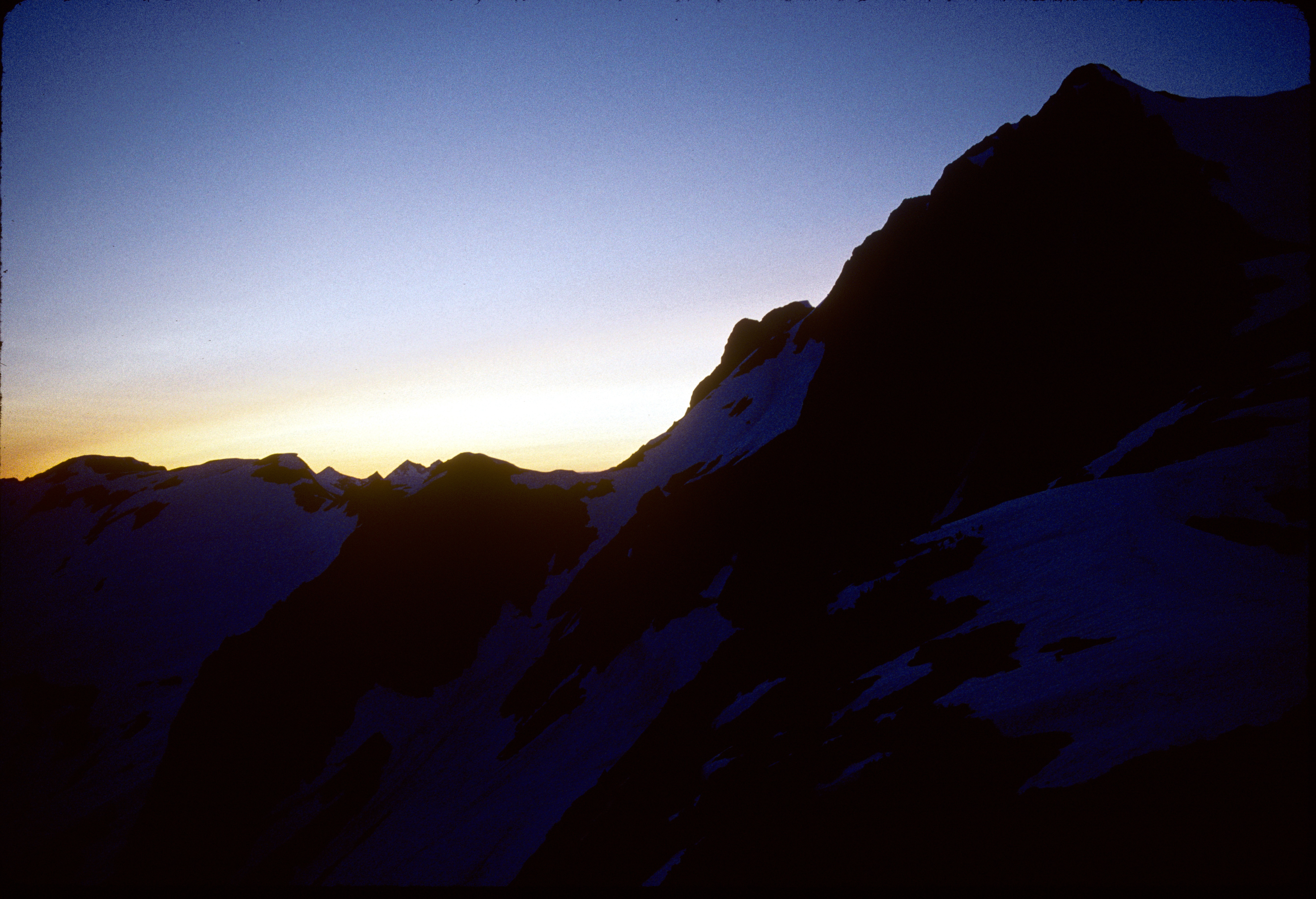
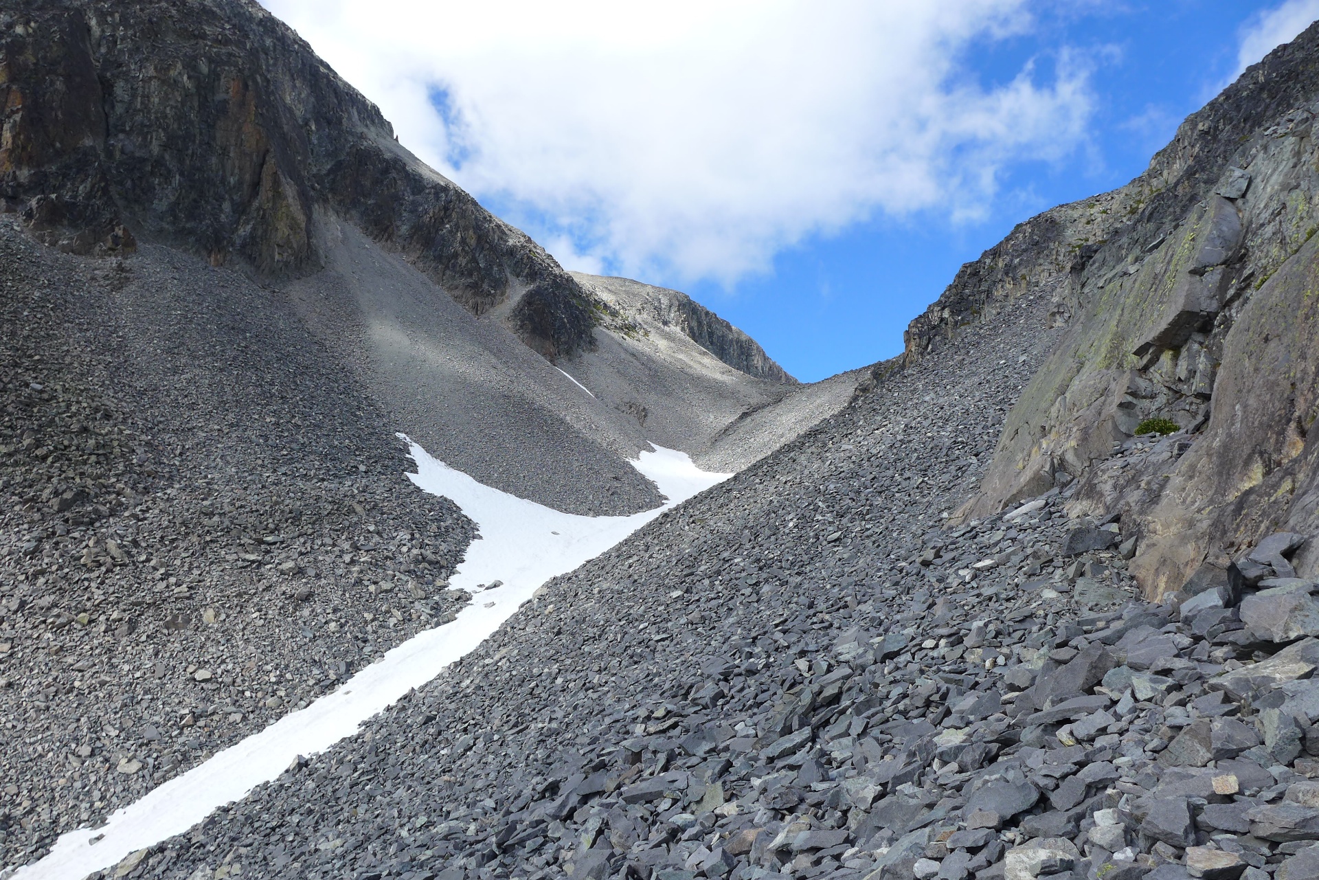
91-208_Mt_Whatcom_at_sunset_from_Perfect_Pass_Mt_Challenger_North_Cascades_National_Park_WA
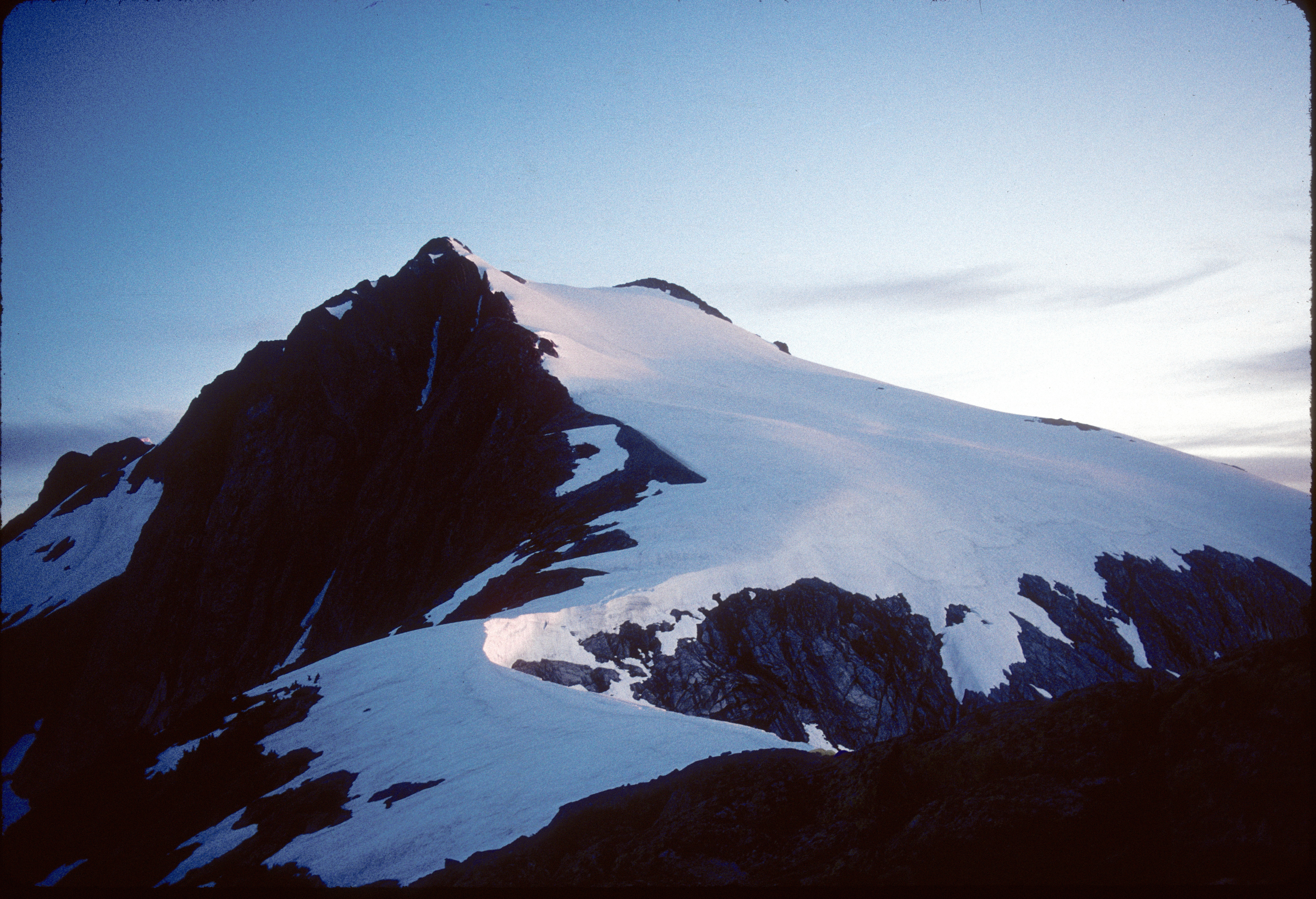
91-272_Mt_Whatcom_at_sunset_from_Perfect_Pass_Mt_Challenger_North_Cascades_National_Park_WA
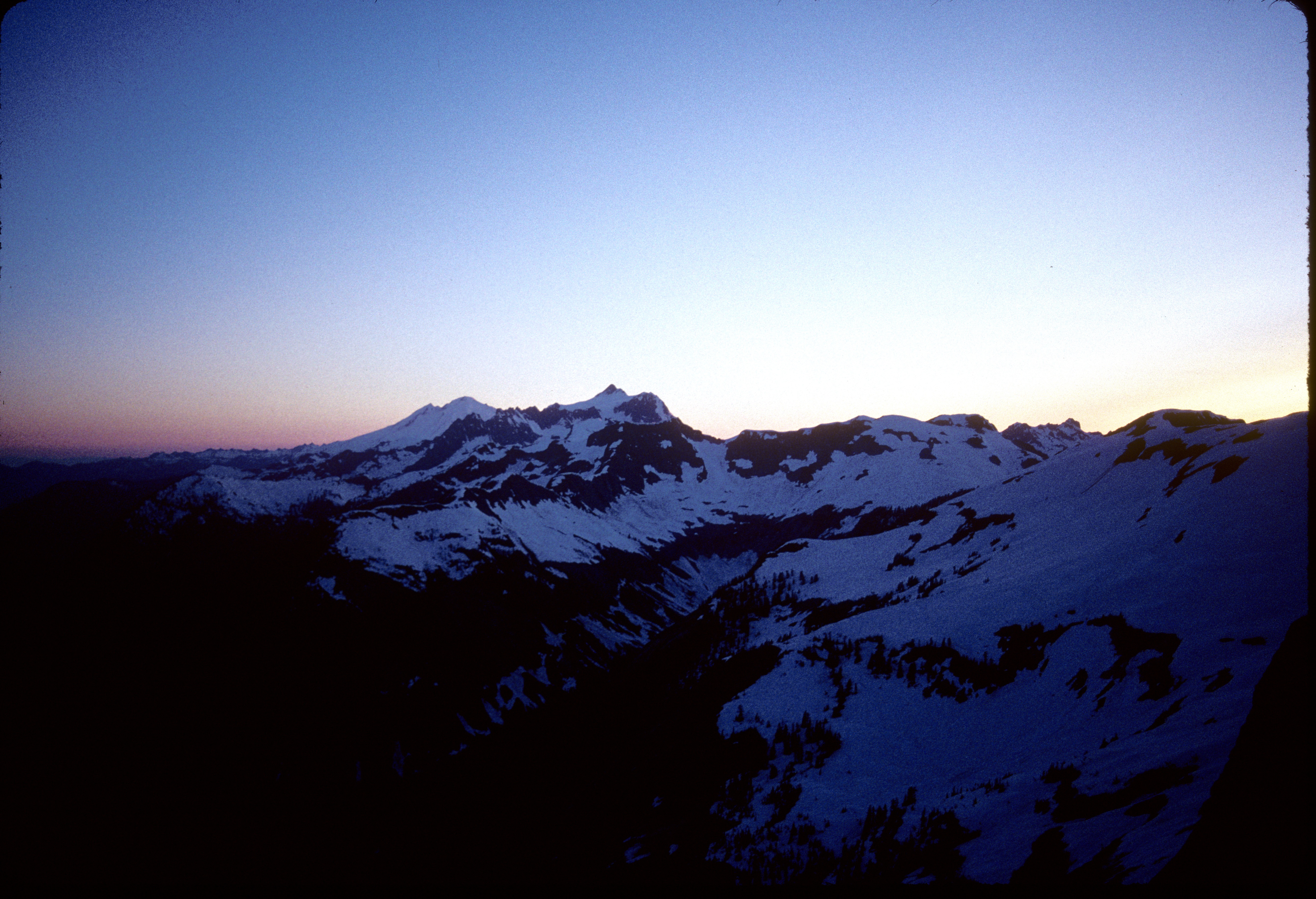
91-209_Mt_Baker_Mt_Shuksan_at_sunset_from_Perfect_Pass_Mt_Challenger_North_Cascades_National_Park_WA
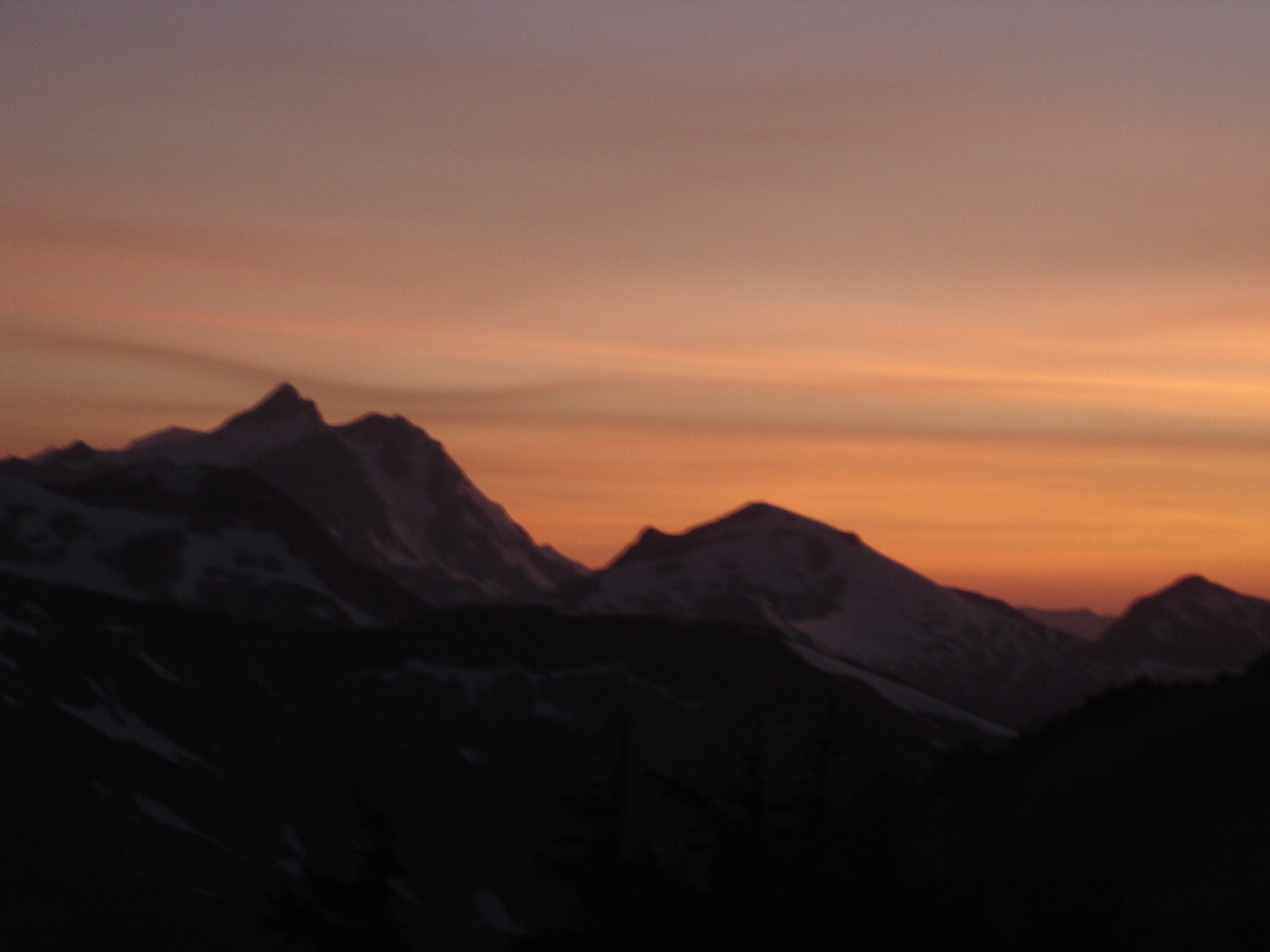
Sunset behind Shuksan
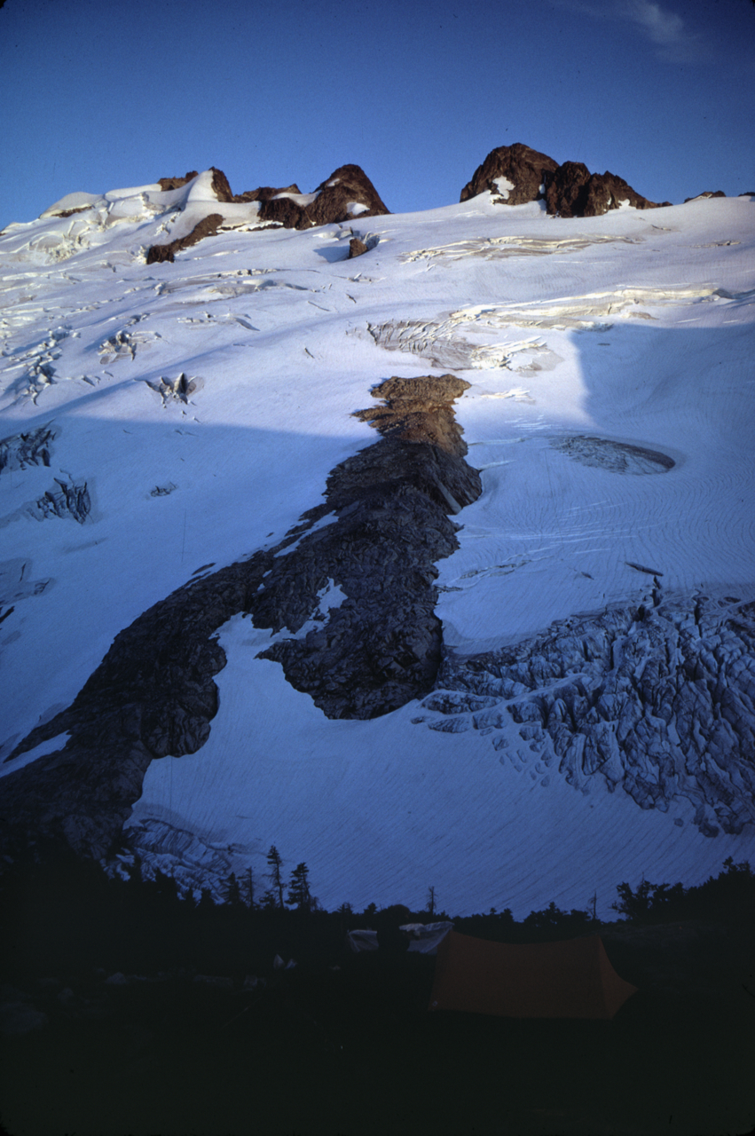
Image-65-714
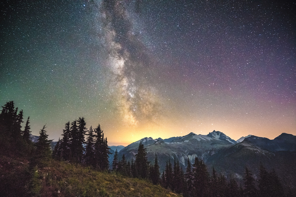
Milky Way over Easy Ridge
#svickinawesome
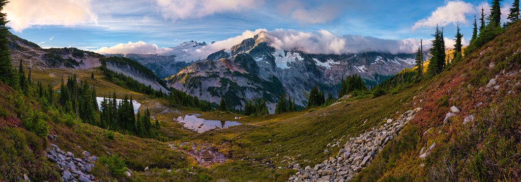
Sunrise over Tapto Lakes & Whatcom Peak
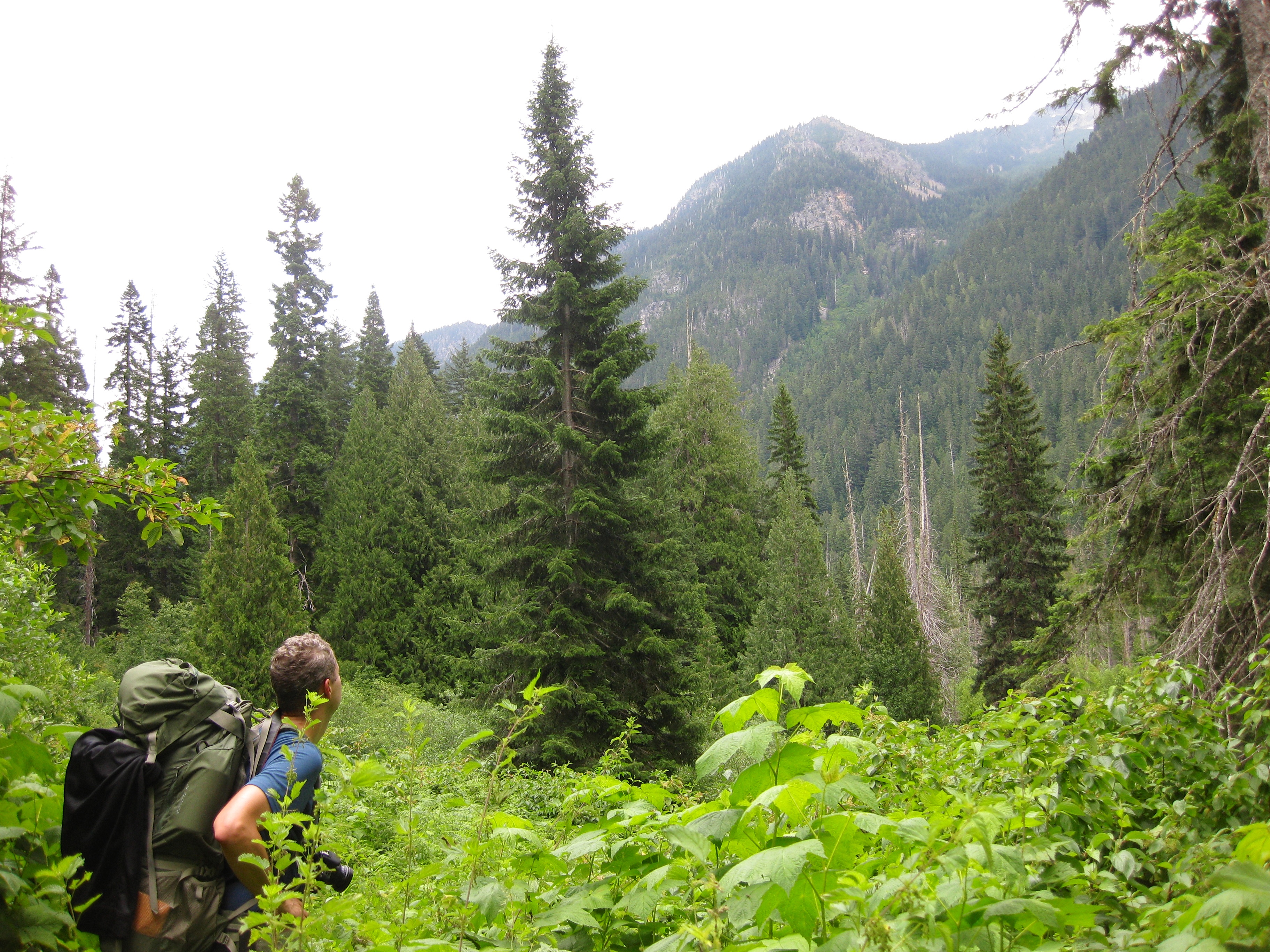
Beaver Creek campsite
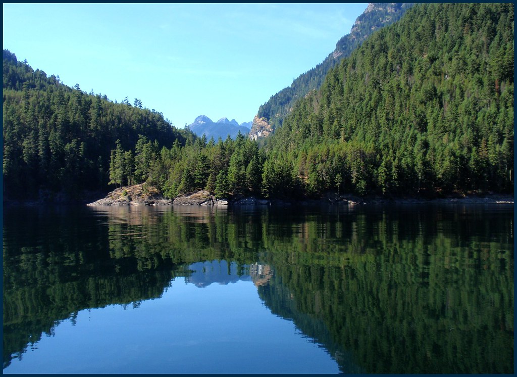
View of Cascades Moutains
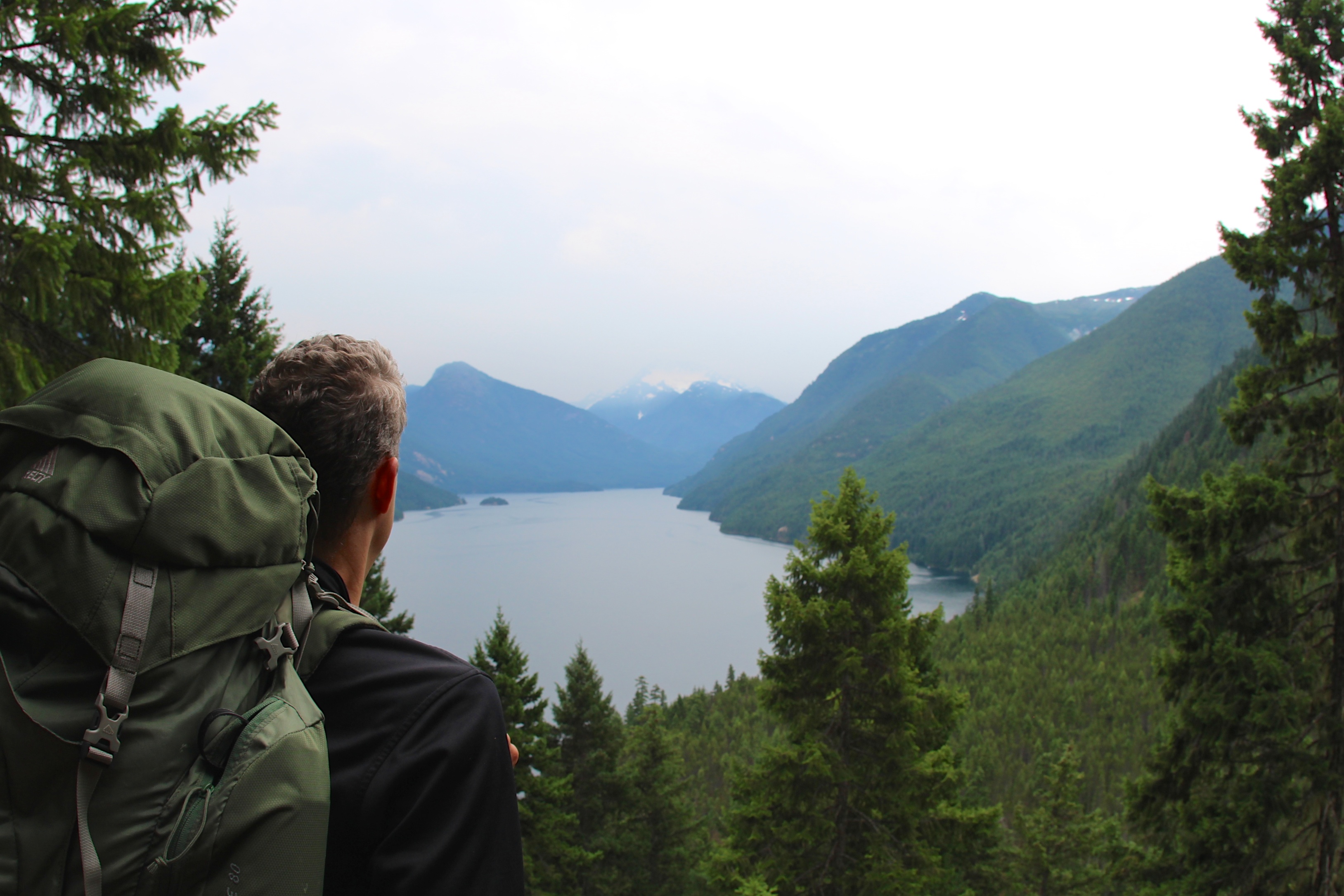
View of Ross Lake

last view of ross lake and nohokameen
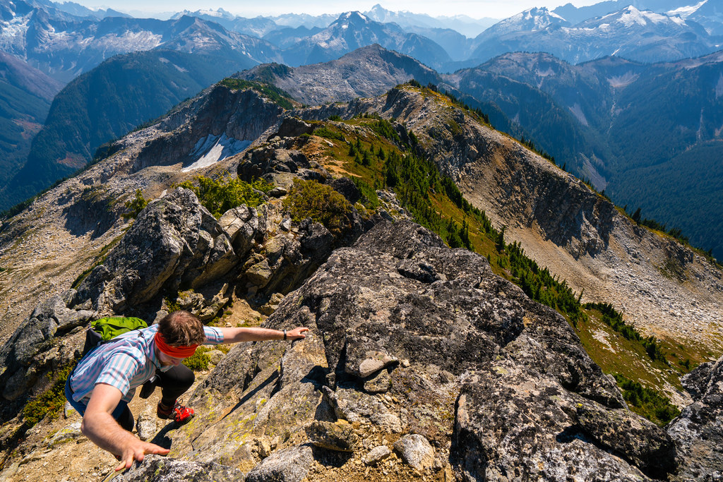
Descending from Point 6855
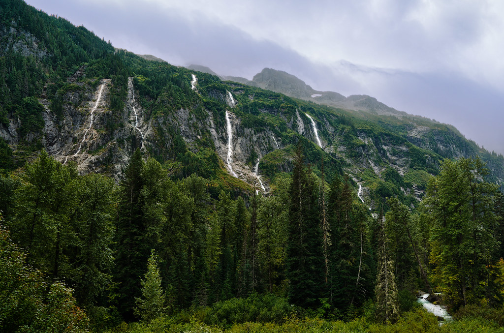
Little Beaver and Waterfalls
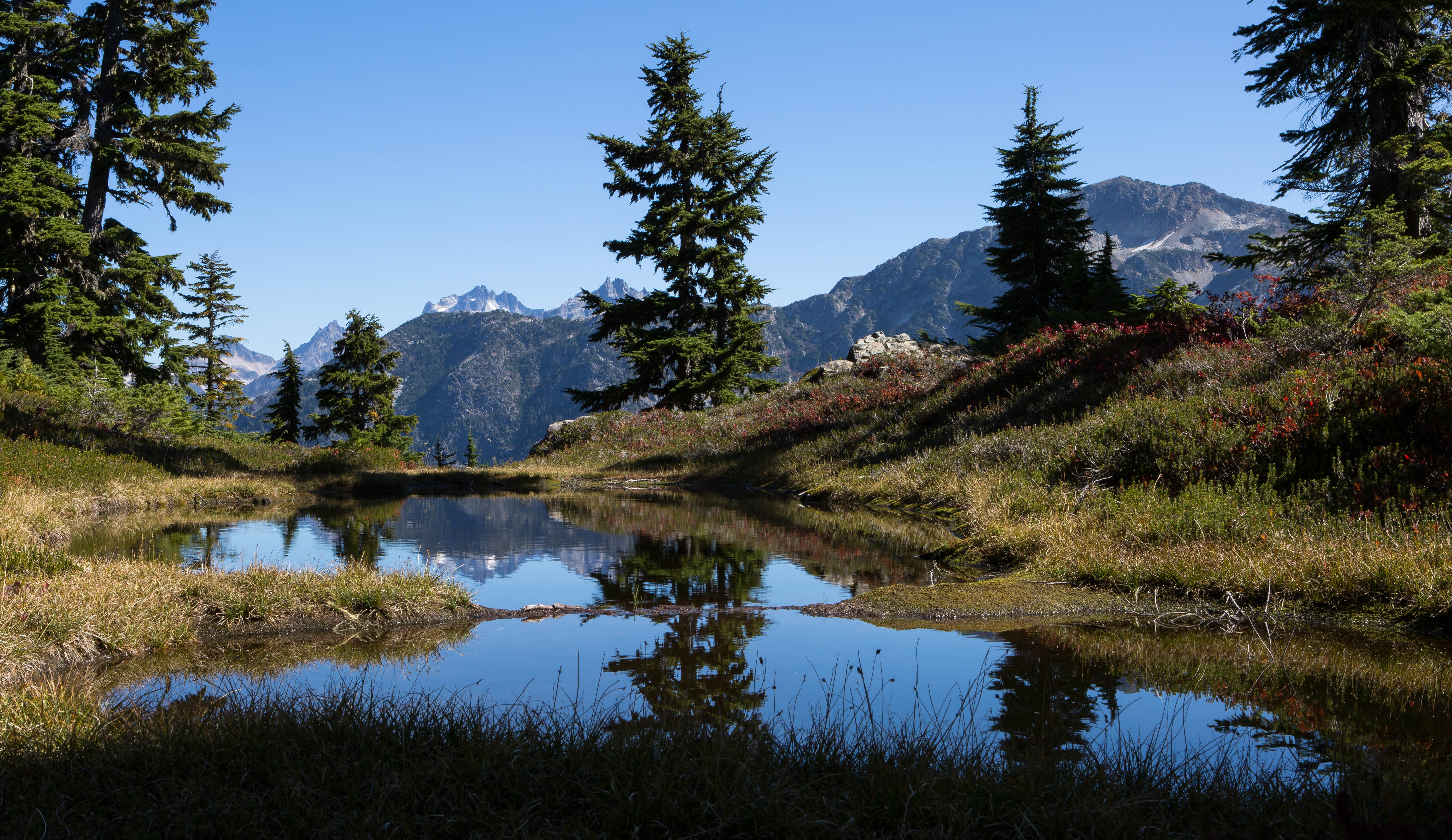
Redoubt-view tarn
Mount Redoubt and Spickard

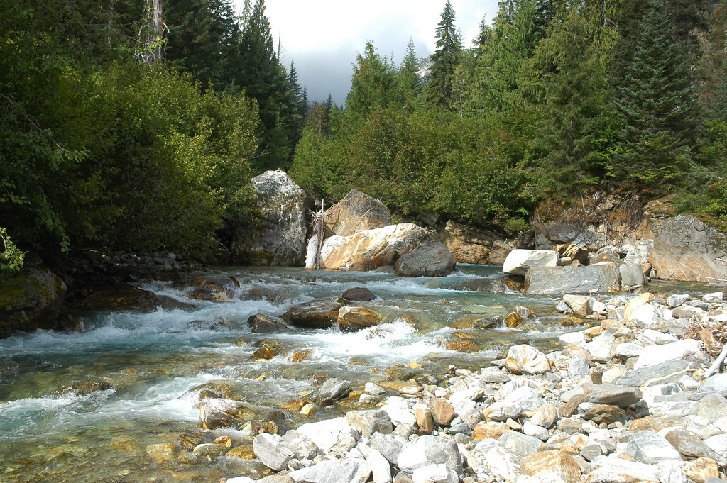
Big Beaver Creek
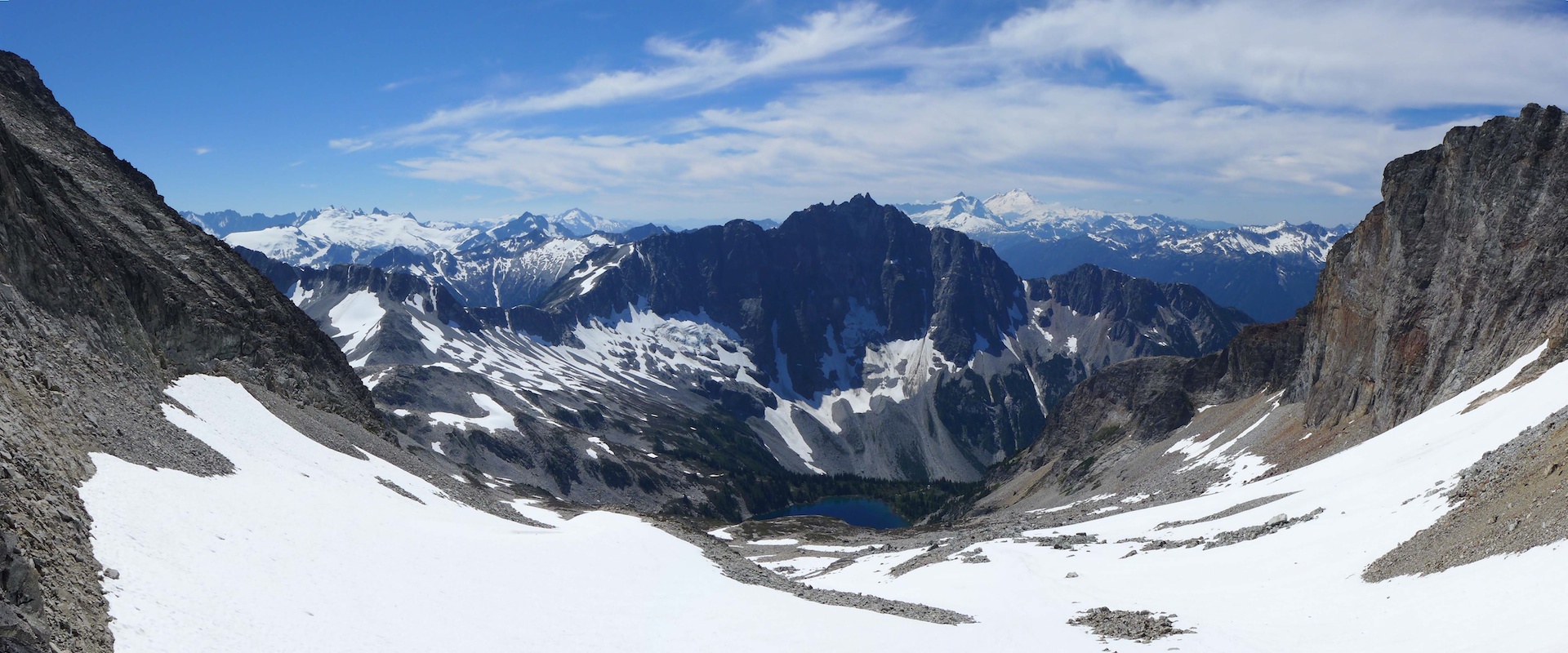
Mount Redoubt and Spickard
Mount Redoubt and Spickard
McMillan Creek
Rockport, WA アメリカ合衆国スティルウェル・キャンプグランドの地図
別の場所を検索
近所の場所
Mox Peaks HP, Washington アメリカ合衆国
アメリカ合衆国 〒 ワシントン州 ルナ・ピーク
アメリカ合衆国 〒 ワシントン州 リダウト山
アメリカ合衆国 〒 ワシントン州 ベアー山
アメリカ合衆国 〒 ワシントン州 スピッカード山
Rockport, WA アメリカ合衆国ルナ・キャンプグランド
アメリカ合衆国 〒 ワシントン州 チャレンジャー山
アメリカ合衆国 〒 ワシントン州 フューリー山
アメリカ合衆国 〒 ワシントン州 クルックド・サム・ピーク
アメリカ合衆国 〒 ワシントン州 レッド・フェイス山
アメリカ合衆国 〒 ワシントン州 カスター・リッジ
Rockport, WA アメリカ合衆国ワットクーム・キャンプグランド
アメリカ合衆国 〒 ワシントン州 エレファント・ビュート
アメリカ合衆国 〒 ワシントン州 プロフェット山
アメリカ合衆国 〒 ワシントン州 ワットクーム・ピーク
アメリカ合衆国 〒 ワシントン州 マクミラン・スパイア
アメリカ合衆国 〒 ワシントン州 インディアン山
アメリカ合衆国 〒 ワシントン州 テラー山
アメリカ合衆国 〒 ワシントン州 ウェスト・ツイン・ニードル
アメリカ合衆国 ワシントン州ノース・カスケード国立公園
最近の検索
- Mount Fuji, Kitayama, Fujinomiya, Shizuoka -, Japan日の出日の入り時間
- Laurel Rd, Townsend, TN アメリカ合衆国日の出日の入り時間
- 中華人民共和国 Guang Dong Sheng, Shen Zhen Shi, Long Gang Qu, 海滨南路GFPQ+R9Q 海浜南路日の出日の入り時間
- Redondo Ave, Long Beach, CA アメリカ合衆国日の出日の入り時間
- Ulitsa Kalinina, 79, Rezh, Sverdlovskaya oblast', ロシア日の出日の入り時間
- Leguwa ネパール日の出日の入り時間
- Shustino, Vladimir Oblast, ロシア日の出日の入り時間
- Lampiasi St, Sarasota, FL アメリカ合衆国日の出日の入り時間
- 日本、〒- 富山県富山市窪本町12−31 APAガーデンコート稲荷日の出日の入り時間
- 台湾 宜蘭県 大同郷Jialuohu日の出日の入り時間