Stapleton Rd, Madison Heights, VA アメリカ合衆国日の出日の入り時間
Location: アメリカ合衆国 > バージニア州 > アマースト > アメリカ合衆国 〒 バージニア州 マディソン・ハイツ >
時間帯:
America/New_York
現地時間:
2024-04-29 21:42:22
経度:
-78.9769885
緯度:
37.4817283
今日の日の出時刻:
06:20:37 AM
今日の日の入時刻:
08:05:25 PM
今日の日長:
13h 44m 48s
明日の日の出時刻:
06:19:29 AM
明日の日の入時刻:
08:06:19 PM
明日の日長:
13h 46m 50s
すべて表示する
| 日付 | 日出 | 日没 | 日長 |
|---|---|---|---|
| 2024年01月01日 | 07:30:29 AM | 05:08:51 PM | 9h 38m 22s |
| 2024年01月02日 | 07:30:37 AM | 05:09:39 PM | 9h 39m 2s |
| 2024年01月03日 | 07:30:42 AM | 05:10:29 PM | 9h 39m 47s |
| 2024年01月04日 | 07:30:45 AM | 05:11:20 PM | 9h 40m 35s |
| 2024年01月05日 | 07:30:46 AM | 05:12:13 PM | 9h 41m 27s |
| 2024年01月06日 | 07:30:45 AM | 05:13:06 PM | 9h 42m 21s |
| 2024年01月07日 | 07:30:42 AM | 05:14:01 PM | 9h 43m 19s |
| 2024年01月08日 | 07:30:37 AM | 05:14:56 PM | 9h 44m 19s |
| 2024年01月09日 | 07:30:30 AM | 05:15:53 PM | 9h 45m 23s |
| 2024年01月10日 | 07:30:21 AM | 05:16:50 PM | 9h 46m 29s |
| 2024年01月11日 | 07:30:10 AM | 05:17:49 PM | 9h 47m 39s |
| 2024年01月12日 | 07:29:56 AM | 05:18:48 PM | 9h 48m 52s |
| 2024年01月13日 | 07:29:41 AM | 05:19:48 PM | 9h 50m 7s |
| 2024年01月14日 | 07:29:24 AM | 05:20:49 PM | 9h 51m 25s |
| 2024年01月15日 | 07:29:05 AM | 05:21:50 PM | 9h 52m 45s |
| 2024年01月16日 | 07:28:43 AM | 05:22:52 PM | 9h 54m 9s |
| 2024年01月17日 | 07:28:20 AM | 05:23:55 PM | 9h 55m 35s |
| 2024年01月18日 | 07:27:55 AM | 05:24:58 PM | 9h 57m 3s |
| 2024年01月19日 | 07:27:27 AM | 05:26:02 PM | 9h 58m 35s |
| 2024年01月20日 | 07:26:58 AM | 05:27:06 PM | 10h 0m 8s |
| 2024年01月21日 | 07:26:27 AM | 05:28:10 PM | 10h 1m 43s |
| 2024年01月22日 | 07:25:54 AM | 05:29:15 PM | 10h 3m 21s |
| 2024年01月23日 | 07:25:19 AM | 05:30:21 PM | 10h 5m 2s |
| 2024年01月24日 | 07:24:43 AM | 05:31:26 PM | 10h 6m 43s |
| 2024年01月25日 | 07:24:04 AM | 05:32:32 PM | 10h 8m 28s |
| 2024年01月26日 | 07:23:24 AM | 05:33:38 PM | 10h 10m 14s |
| 2024年01月27日 | 07:22:42 AM | 05:34:44 PM | 10h 12m 2s |
| 2024年01月28日 | 07:21:58 AM | 05:35:50 PM | 10h 13m 52s |
| 2024年01月29日 | 07:21:13 AM | 05:36:56 PM | 10h 15m 43s |
| 2024年01月30日 | 07:20:25 AM | 05:38:03 PM | 10h 17m 38s |
| 2024年01月31日 | 07:19:36 AM | 05:39:09 PM | 10h 19m 33s |
| 2024年02月01日 | 07:18:46 AM | 05:40:15 PM | 10h 21m 29s |
| 2024年02月02日 | 07:17:54 AM | 05:41:22 PM | 10h 23m 28s |
| 2024年02月03日 | 07:17:00 AM | 05:42:28 PM | 10h 25m 28s |
| 2024年02月04日 | 07:16:05 AM | 05:43:34 PM | 10h 27m 29s |
| 2024年02月05日 | 07:15:08 AM | 05:44:40 PM | 10h 29m 32s |
| 2024年02月06日 | 07:14:10 AM | 05:45:46 PM | 10h 31m 36s |
| 2024年02月07日 | 07:13:11 AM | 05:46:52 PM | 10h 33m 41s |
| 2024年02月08日 | 07:12:10 AM | 05:47:58 PM | 10h 35m 48s |
| 2024年02月09日 | 07:11:07 AM | 05:49:03 PM | 10h 37m 56s |
| 2024年02月10日 | 07:10:04 AM | 05:50:08 PM | 10h 40m 4s |
| 2024年02月11日 | 07:08:59 AM | 05:51:13 PM | 10h 42m 14s |
| 2024年02月12日 | 07:07:52 AM | 05:52:18 PM | 10h 44m 26s |
| 2024年02月13日 | 07:06:45 AM | 05:53:22 PM | 10h 46m 37s |
| 2024年02月14日 | 07:05:36 AM | 05:54:26 PM | 10h 48m 50s |
| 2024年02月15日 | 07:04:26 AM | 05:55:30 PM | 10h 51m 4s |
| 2024年02月16日 | 07:03:15 AM | 05:56:34 PM | 10h 53m 19s |
| 2024年02月17日 | 07:02:03 AM | 05:57:37 PM | 10h 55m 34s |
| 2024年02月18日 | 07:00:50 AM | 05:58:40 PM | 10h 57m 50s |
| 2024年02月19日 | 06:59:35 AM | 05:59:43 PM | 11h 0m 8s |
| 2024年02月20日 | 06:58:20 AM | 06:00:46 PM | 11h 2m 26s |
| 2024年02月21日 | 06:57:04 AM | 06:01:48 PM | 11h 4m 44s |
| 2024年02月22日 | 06:55:47 AM | 06:02:49 PM | 11h 7m 2s |
| 2024年02月23日 | 06:54:28 AM | 06:03:51 PM | 11h 9m 23s |
| 2024年02月24日 | 06:53:09 AM | 06:04:52 PM | 11h 11m 43s |
| 2024年02月25日 | 06:51:50 AM | 06:05:53 PM | 11h 14m 3s |
| 2024年02月26日 | 06:50:29 AM | 06:06:53 PM | 11h 16m 24s |
| 2024年02月27日 | 06:49:08 AM | 06:07:53 PM | 11h 18m 45s |
| 2024年02月28日 | 06:47:45 AM | 06:08:53 PM | 11h 21m 8s |
| 2024年02月29日 | 06:46:22 AM | 06:09:53 PM | 11h 23m 31s |
| 2024年03月01日 | 06:44:59 AM | 06:10:52 PM | 11h 25m 53s |
| 2024年03月02日 | 06:43:35 AM | 06:11:51 PM | 11h 28m 16s |
| 2024年03月03日 | 06:42:10 AM | 06:12:50 PM | 11h 30m 40s |
| 2024年03月04日 | 06:40:44 AM | 06:13:48 PM | 11h 33m 4s |
| 2024年03月05日 | 06:39:19 AM | 06:14:46 PM | 11h 35m 27s |
| 2024年03月06日 | 06:37:52 AM | 06:15:44 PM | 11h 37m 52s |
| 2024年03月07日 | 06:36:25 AM | 06:16:41 PM | 11h 40m 16s |
| 2024年03月08日 | 06:34:58 AM | 06:17:39 PM | 11h 42m 41s |
| 2024年03月09日 | 06:33:30 AM | 06:18:36 PM | 11h 45m 6s |
| 2024年03月10日 | 07:32:05 AM | 07:19:30 PM | 11h 47m 25s |
| 2024年03月11日 | 07:30:37 AM | 07:20:26 PM | 11h 49m 49s |
| 2024年03月12日 | 07:29:08 AM | 07:21:23 PM | 11h 52m 15s |
| 2024年03月13日 | 07:27:38 AM | 07:22:19 PM | 11h 54m 41s |
| 2024年03月14日 | 07:26:09 AM | 07:23:15 PM | 11h 57m 6s |
| 2024年03月15日 | 07:24:39 AM | 07:24:10 PM | 11h 59m 31s |
| 2024年03月16日 | 07:23:09 AM | 07:25:06 PM | 12h 1m 57s |
| 2024年03月17日 | 07:21:39 AM | 07:26:01 PM | 12h 4m 22s |
| 2024年03月18日 | 07:20:09 AM | 07:26:56 PM | 12h 6m 47s |
| 2024年03月19日 | 07:18:38 AM | 07:27:51 PM | 12h 9m 13s |
| 2024年03月20日 | 07:17:08 AM | 07:28:46 PM | 12h 11m 38s |
| 2024年03月21日 | 07:15:37 AM | 07:29:41 PM | 12h 14m 4s |
| 2024年03月22日 | 07:14:06 AM | 07:30:36 PM | 12h 16m 30s |
| 2024年03月23日 | 07:12:36 AM | 07:31:30 PM | 12h 18m 54s |
| 2024年03月24日 | 07:11:05 AM | 07:32:25 PM | 12h 21m 20s |
| 2024年03月25日 | 07:09:35 AM | 07:33:19 PM | 12h 23m 44s |
| 2024年03月26日 | 07:08:04 AM | 07:34:13 PM | 12h 26m 9s |
| 2024年03月27日 | 07:06:34 AM | 07:35:07 PM | 12h 28m 33s |
| 2024年03月28日 | 07:05:04 AM | 07:36:01 PM | 12h 30m 57s |
| 2024年03月29日 | 07:03:34 AM | 07:36:56 PM | 12h 33m 22s |
| 2024年03月30日 | 07:02:04 AM | 07:37:50 PM | 12h 35m 46s |
| 2024年03月31日 | 07:00:34 AM | 07:38:44 PM | 12h 38m 10s |
| 2024年04月01日 | 06:59:05 AM | 07:39:38 PM | 12h 40m 33s |
| 2024年04月02日 | 06:57:36 AM | 07:40:32 PM | 12h 42m 56s |
| 2024年04月03日 | 06:56:07 AM | 07:41:26 PM | 12h 45m 19s |
| 2024年04月04日 | 06:54:39 AM | 07:42:19 PM | 12h 47m 40s |
| 2024年04月05日 | 06:53:11 AM | 07:43:13 PM | 12h 50m 2s |
| 2024年04月06日 | 06:51:43 AM | 07:44:07 PM | 12h 52m 24s |
| 2024年04月07日 | 06:50:16 AM | 07:45:01 PM | 12h 54m 45s |
| 2024年04月08日 | 06:48:49 AM | 07:45:55 PM | 12h 57m 6s |
| 2024年04月09日 | 06:47:23 AM | 07:46:50 PM | 12h 59m 27s |
| 2024年04月10日 | 06:45:58 AM | 07:47:44 PM | 13h 1m 46s |
| 2024年04月11日 | 06:44:33 AM | 07:48:38 PM | 13h 4m 5s |
| 2024年04月12日 | 06:43:08 AM | 07:49:32 PM | 13h 6m 24s |
| 2024年04月13日 | 06:41:44 AM | 07:50:26 PM | 13h 8m 42s |
| 2024年04月14日 | 06:40:21 AM | 07:51:20 PM | 13h 10m 59s |
| 2024年04月15日 | 06:38:59 AM | 07:52:15 PM | 13h 13m 16s |
| 2024年04月16日 | 06:37:37 AM | 07:53:09 PM | 13h 15m 32s |
| 2024年04月17日 | 06:36:16 AM | 07:54:03 PM | 13h 17m 47s |
| 2024年04月18日 | 06:34:55 AM | 07:54:58 PM | 13h 20m 3s |
| 2024年04月19日 | 06:33:36 AM | 07:55:52 PM | 13h 22m 16s |
| 2024年04月20日 | 06:32:17 AM | 07:56:47 PM | 13h 24m 30s |
| 2024年04月21日 | 06:30:59 AM | 07:57:41 PM | 13h 26m 42s |
| 2024年04月22日 | 06:29:43 AM | 07:58:36 PM | 13h 28m 53s |
| 2024年04月23日 | 06:28:27 AM | 07:59:31 PM | 13h 31m 4s |
| 2024年04月24日 | 06:27:12 AM | 08:00:25 PM | 13h 33m 13s |
| 2024年04月25日 | 06:25:57 AM | 08:01:20 PM | 13h 35m 23s |
| 2024年04月26日 | 06:24:44 AM | 08:02:14 PM | 13h 37m 30s |
| 2024年04月27日 | 06:23:32 AM | 08:03:09 PM | 13h 39m 37s |
| 2024年04月28日 | 06:22:21 AM | 08:04:03 PM | 13h 41m 42s |
| 2024年04月29日 | 06:21:12 AM | 08:04:58 PM | 13h 43m 46s |
| 2024年04月30日 | 06:20:03 AM | 08:05:52 PM | 13h 45m 49s |
| 2024年05月01日 | 06:18:55 AM | 08:06:47 PM | 13h 47m 52s |
| 2024年05月02日 | 06:17:49 AM | 08:07:41 PM | 13h 49m 52s |
| 2024年05月03日 | 06:16:44 AM | 08:08:35 PM | 13h 51m 51s |
| 2024年05月04日 | 06:15:40 AM | 08:09:29 PM | 13h 53m 49s |
| 2024年05月05日 | 06:14:37 AM | 08:10:23 PM | 13h 55m 46s |
| 2024年05月06日 | 06:13:36 AM | 08:11:17 PM | 13h 57m 41s |
| 2024年05月07日 | 06:12:36 AM | 08:12:10 PM | 13h 59m 34s |
| 2024年05月08日 | 06:11:37 AM | 08:13:03 PM | 14h 1m 26s |
| 2024年05月09日 | 06:10:40 AM | 08:13:56 PM | 14h 3m 16s |
| 2024年05月10日 | 06:09:44 AM | 08:14:49 PM | 14h 5m 5s |
| 2024年05月11日 | 06:08:50 AM | 08:15:42 PM | 14h 6m 52s |
| 2024年05月12日 | 06:07:57 AM | 08:16:34 PM | 14h 8m 37s |
| 2024年05月13日 | 06:07:05 AM | 08:17:26 PM | 14h 10m 21s |
| 2024年05月14日 | 06:06:15 AM | 08:18:17 PM | 14h 12m 2s |
| 2024年05月15日 | 06:05:26 AM | 08:19:09 PM | 14h 13m 43s |
| 2024年05月16日 | 06:04:39 AM | 08:19:59 PM | 14h 15m 20s |
| 2024年05月17日 | 06:03:54 AM | 08:20:49 PM | 14h 16m 55s |
| 2024年05月18日 | 06:03:10 AM | 08:21:39 PM | 14h 18m 29s |
| 2024年05月19日 | 06:02:28 AM | 08:22:28 PM | 14h 20m 0s |
| 2024年05月20日 | 06:01:48 AM | 08:23:17 PM | 14h 21m 29s |
| 2024年05月21日 | 06:01:09 AM | 08:24:05 PM | 14h 22m 56s |
| 2024年05月22日 | 06:00:31 AM | 08:24:53 PM | 14h 24m 22s |
| 2024年05月23日 | 05:59:56 AM | 08:25:39 PM | 14h 25m 43s |
| 2024年05月24日 | 05:59:22 AM | 08:26:25 PM | 14h 27m 3s |
| 2024年05月25日 | 05:58:50 AM | 08:27:11 PM | 14h 28m 21s |
| 2024年05月26日 | 05:58:19 AM | 08:27:55 PM | 14h 29m 36s |
| 2024年05月27日 | 05:57:51 AM | 08:28:39 PM | 14h 30m 48s |
| 2024年05月28日 | 05:57:24 AM | 08:29:22 PM | 14h 31m 58s |
| 2024年05月29日 | 05:56:59 AM | 08:30:04 PM | 14h 33m 5s |
| 2024年05月30日 | 05:56:35 AM | 08:30:45 PM | 14h 34m 10s |
| 2024年05月31日 | 05:56:14 AM | 08:31:25 PM | 14h 35m 11s |
| 2024年06月01日 | 05:55:54 AM | 08:32:04 PM | 14h 36m 10s |
| 2024年06月02日 | 05:55:36 AM | 08:32:42 PM | 14h 37m 6s |
| 2024年06月03日 | 05:55:20 AM | 08:33:19 PM | 14h 37m 59s |
| 2024年06月04日 | 05:55:05 AM | 08:33:54 PM | 14h 38m 49s |
| 2024年06月05日 | 05:54:52 AM | 08:34:29 PM | 14h 39m 37s |
| 2024年06月06日 | 05:54:41 AM | 08:35:02 PM | 14h 40m 21s |
| 2024年06月07日 | 05:54:32 AM | 08:35:35 PM | 14h 41m 3s |
| 2024年06月08日 | 05:54:25 AM | 08:36:05 PM | 14h 41m 40s |
| 2024年06月09日 | 05:54:19 AM | 08:36:35 PM | 14h 42m 16s |
| 2024年06月10日 | 05:54:16 AM | 08:37:03 PM | 14h 42m 47s |
| 2024年06月11日 | 05:54:14 AM | 08:37:30 PM | 14h 43m 16s |
| 2024年06月12日 | 05:54:13 AM | 08:37:56 PM | 14h 43m 43s |
| 2024年06月13日 | 05:54:15 AM | 08:38:20 PM | 14h 44m 5s |
| 2024年06月14日 | 05:54:18 AM | 08:38:42 PM | 14h 44m 24s |
| 2024年06月15日 | 05:54:23 AM | 08:39:03 PM | 14h 44m 40s |
| 2024年06月16日 | 05:54:29 AM | 08:39:22 PM | 14h 44m 53s |
| 2024年06月17日 | 05:54:38 AM | 08:39:40 PM | 14h 45m 2s |
| 2024年06月18日 | 05:54:48 AM | 08:39:57 PM | 14h 45m 9s |
| 2024年06月19日 | 05:54:59 AM | 08:40:11 PM | 14h 45m 12s |
| 2024年06月20日 | 05:55:12 AM | 08:40:24 PM | 14h 45m 12s |
| 2024年06月21日 | 05:55:27 AM | 08:40:36 PM | 14h 45m 9s |
| 2024年06月22日 | 05:55:43 AM | 08:40:45 PM | 14h 45m 2s |
| 2024年06月23日 | 05:56:01 AM | 08:40:53 PM | 14h 44m 52s |
| 2024年06月24日 | 05:56:20 AM | 08:40:59 PM | 14h 44m 39s |
| 2024年06月25日 | 05:56:41 AM | 08:41:04 PM | 14h 44m 23s |
| 2024年06月26日 | 05:57:03 AM | 08:41:07 PM | 14h 44m 4s |
| 2024年06月27日 | 05:57:27 AM | 08:41:08 PM | 14h 43m 41s |
| 2024年06月28日 | 05:57:52 AM | 08:41:07 PM | 14h 43m 15s |
| 2024年06月29日 | 05:58:18 AM | 08:41:04 PM | 14h 42m 46s |
| 2024年06月30日 | 05:58:45 AM | 08:41:00 PM | 14h 42m 15s |
| 2024年07月01日 | 05:59:14 AM | 08:40:53 PM | 14h 41m 39s |
| 2024年07月02日 | 05:59:44 AM | 08:40:45 PM | 14h 41m 1s |
| 2024年07月03日 | 06:00:16 AM | 08:40:35 PM | 14h 40m 19s |
| 2024年07月04日 | 06:00:48 AM | 08:40:24 PM | 14h 39m 36s |
| 2024年07月05日 | 06:01:22 AM | 08:40:10 PM | 14h 38m 48s |
| 2024年07月06日 | 06:01:57 AM | 08:39:55 PM | 14h 37m 58s |
| 2024年07月07日 | 06:02:32 AM | 08:39:37 PM | 14h 37m 5s |
| 2024年07月08日 | 06:03:09 AM | 08:39:18 PM | 14h 36m 9s |
| 2024年07月09日 | 06:03:47 AM | 08:38:57 PM | 14h 35m 10s |
| 2024年07月10日 | 06:04:25 AM | 08:38:35 PM | 14h 34m 10s |
| 2024年07月11日 | 06:05:05 AM | 08:38:10 PM | 14h 33m 5s |
| 2024年07月12日 | 06:05:45 AM | 08:37:44 PM | 14h 31m 59s |
| 2024年07月13日 | 06:06:26 AM | 08:37:16 PM | 14h 30m 50s |
| 2024年07月14日 | 06:07:08 AM | 08:36:46 PM | 14h 29m 38s |
| 2024年07月15日 | 06:07:51 AM | 08:36:14 PM | 14h 28m 23s |
| 2024年07月16日 | 06:08:35 AM | 08:35:41 PM | 14h 27m 6s |
| 2024年07月17日 | 06:09:19 AM | 08:35:05 PM | 14h 25m 46s |
| 2024年07月18日 | 06:10:03 AM | 08:34:29 PM | 14h 24m 26s |
| 2024年07月19日 | 06:10:49 AM | 08:33:50 PM | 14h 23m 1s |
| 2024年07月20日 | 06:11:35 AM | 08:33:10 PM | 14h 21m 35s |
| 2024年07月21日 | 06:12:21 AM | 08:32:28 PM | 14h 20m 7s |
| 2024年07月22日 | 06:13:08 AM | 08:31:44 PM | 14h 18m 36s |
| 2024年07月23日 | 06:13:55 AM | 08:30:59 PM | 14h 17m 4s |
| 2024年07月24日 | 06:14:43 AM | 08:30:12 PM | 14h 15m 29s |
| 2024年07月25日 | 06:15:31 AM | 08:29:24 PM | 14h 13m 53s |
| 2024年07月26日 | 06:16:20 AM | 08:28:34 PM | 14h 12m 14s |
| 2024年07月27日 | 06:17:09 AM | 08:27:42 PM | 14h 10m 33s |
| 2024年07月28日 | 06:17:58 AM | 08:26:49 PM | 14h 8m 51s |
| 2024年07月29日 | 06:18:47 AM | 08:25:54 PM | 14h 7m 7s |
| 2024年07月30日 | 06:19:37 AM | 08:24:58 PM | 14h 5m 21s |
| 2024年07月31日 | 06:20:27 AM | 08:24:01 PM | 14h 3m 34s |
| 2024年08月01日 | 06:21:17 AM | 08:23:02 PM | 14h 1m 45s |
| 2024年08月02日 | 06:22:08 AM | 08:22:02 PM | 13h 59m 54s |
| 2024年08月03日 | 06:22:58 AM | 08:21:00 PM | 13h 58m 2s |
| 2024年08月04日 | 06:23:49 AM | 08:19:57 PM | 13h 56m 8s |
| 2024年08月05日 | 06:24:39 AM | 08:18:53 PM | 13h 54m 14s |
| 2024年08月06日 | 06:25:30 AM | 08:17:47 PM | 13h 52m 17s |
| 2024年08月07日 | 06:26:21 AM | 08:16:41 PM | 13h 50m 20s |
| 2024年08月08日 | 06:27:12 AM | 08:15:33 PM | 13h 48m 21s |
| 2024年08月09日 | 06:28:03 AM | 08:14:23 PM | 13h 46m 20s |
| 2024年08月10日 | 06:28:54 AM | 08:13:13 PM | 13h 44m 19s |
| 2024年08月11日 | 06:29:45 AM | 08:12:02 PM | 13h 42m 17s |
| 2024年08月12日 | 06:30:36 AM | 08:10:49 PM | 13h 40m 13s |
| 2024年08月13日 | 06:31:27 AM | 08:09:35 PM | 13h 38m 8s |
| 2024年08月14日 | 06:32:18 AM | 08:08:21 PM | 13h 36m 3s |
| 2024年08月15日 | 06:33:09 AM | 08:07:05 PM | 13h 33m 56s |
| 2024年08月16日 | 06:34:00 AM | 08:05:48 PM | 13h 31m 48s |
| 2024年08月17日 | 06:34:51 AM | 08:04:30 PM | 13h 29m 39s |
| 2024年08月18日 | 06:35:42 AM | 08:03:12 PM | 13h 27m 30s |
| 2024年08月19日 | 06:36:32 AM | 08:01:52 PM | 13h 25m 20s |
| 2024年08月20日 | 06:37:23 AM | 08:00:32 PM | 13h 23m 9s |
| 2024年08月21日 | 06:38:14 AM | 07:59:10 PM | 13h 20m 56s |
| 2024年08月22日 | 06:39:04 AM | 07:57:48 PM | 13h 18m 44s |
| 2024年08月23日 | 06:39:55 AM | 07:56:26 PM | 13h 16m 31s |
| 2024年08月24日 | 06:40:45 AM | 07:55:02 PM | 13h 14m 17s |
| 2024年08月25日 | 06:41:35 AM | 07:53:38 PM | 13h 12m 3s |
| 2024年08月26日 | 06:42:26 AM | 07:52:13 PM | 13h 9m 47s |
| 2024年08月27日 | 06:43:16 AM | 07:50:47 PM | 13h 7m 31s |
| 2024年08月28日 | 06:44:06 AM | 07:49:21 PM | 13h 5m 15s |
| 2024年08月29日 | 06:44:56 AM | 07:47:54 PM | 13h 2m 58s |
| 2024年08月30日 | 06:45:46 AM | 07:46:26 PM | 13h 0m 40s |
| 2024年08月31日 | 06:46:36 AM | 07:44:58 PM | 12h 58m 22s |
| 2024年09月01日 | 06:47:26 AM | 07:43:30 PM | 12h 56m 4s |
| 2024年09月02日 | 06:48:16 AM | 07:42:01 PM | 12h 53m 45s |
| 2024年09月03日 | 06:49:05 AM | 07:40:31 PM | 12h 51m 26s |
| 2024年09月04日 | 06:49:55 AM | 07:39:01 PM | 12h 49m 6s |
| 2024年09月05日 | 06:50:45 AM | 07:37:31 PM | 12h 46m 46s |
| 2024年09月06日 | 06:51:34 AM | 07:36:00 PM | 12h 44m 26s |
| 2024年09月07日 | 06:52:24 AM | 07:34:29 PM | 12h 42m 5s |
| 2024年09月08日 | 06:53:14 AM | 07:32:58 PM | 12h 39m 44s |
| 2024年09月09日 | 06:54:03 AM | 07:31:26 PM | 12h 37m 23s |
| 2024年09月10日 | 06:54:53 AM | 07:29:54 PM | 12h 35m 1s |
| 2024年09月11日 | 06:55:42 AM | 07:28:22 PM | 12h 32m 40s |
| 2024年09月12日 | 06:56:32 AM | 07:26:50 PM | 12h 30m 18s |
| 2024年09月13日 | 06:57:22 AM | 07:25:17 PM | 12h 27m 55s |
| 2024年09月14日 | 06:58:12 AM | 07:23:45 PM | 12h 25m 33s |
| 2024年09月15日 | 06:59:01 AM | 07:22:12 PM | 12h 23m 11s |
| 2024年09月16日 | 06:59:51 AM | 07:20:39 PM | 12h 20m 48s |
| 2024年09月17日 | 07:00:41 AM | 07:19:06 PM | 12h 18m 25s |
| 2024年09月18日 | 07:01:31 AM | 07:17:34 PM | 12h 16m 3s |
| 2024年09月19日 | 07:02:22 AM | 07:16:01 PM | 12h 13m 39s |
| 2024年09月20日 | 07:03:12 AM | 07:14:28 PM | 12h 11m 16s |
| 2024年09月21日 | 07:04:02 AM | 07:12:55 PM | 12h 8m 53s |
| 2024年09月22日 | 07:04:53 AM | 07:11:22 PM | 12h 6m 29s |
| 2024年09月23日 | 07:05:44 AM | 07:09:50 PM | 12h 4m 6s |
| 2024年09月24日 | 07:06:34 AM | 07:08:17 PM | 12h 1m 43s |
| 2024年09月25日 | 07:07:26 AM | 07:06:45 PM | 11h 59m 19s |
| 2024年09月26日 | 07:08:17 AM | 07:05:13 PM | 11h 56m 56s |
| 2024年09月27日 | 07:09:08 AM | 07:03:42 PM | 11h 54m 34s |
| 2024年09月28日 | 07:10:00 AM | 07:02:10 PM | 11h 52m 10s |
| 2024年09月29日 | 07:10:52 AM | 07:00:39 PM | 11h 49m 47s |
| 2024年09月30日 | 07:11:44 AM | 06:59:08 PM | 11h 47m 24s |
| 2024年10月01日 | 07:12:36 AM | 06:57:38 PM | 11h 45m 2s |
| 2024年10月02日 | 07:13:29 AM | 06:56:07 PM | 11h 42m 38s |
| 2024年10月03日 | 07:14:22 AM | 06:54:38 PM | 11h 40m 16s |
| 2024年10月04日 | 07:15:15 AM | 06:53:09 PM | 11h 37m 54s |
| 2024年10月05日 | 07:16:08 AM | 06:51:40 PM | 11h 35m 32s |
| 2024年10月06日 | 07:17:02 AM | 06:50:12 PM | 11h 33m 10s |
| 2024年10月07日 | 07:17:56 AM | 06:48:44 PM | 11h 30m 48s |
| 2024年10月08日 | 07:18:50 AM | 06:47:17 PM | 11h 28m 27s |
| 2024年10月09日 | 07:19:45 AM | 06:45:50 PM | 11h 26m 5s |
| 2024年10月10日 | 07:20:40 AM | 06:44:25 PM | 11h 23m 45s |
| 2024年10月11日 | 07:21:35 AM | 06:42:59 PM | 11h 21m 24s |
| 2024年10月12日 | 07:22:30 AM | 06:41:35 PM | 11h 19m 5s |
| 2024年10月13日 | 07:23:26 AM | 06:40:11 PM | 11h 16m 45s |
| 2024年10月14日 | 07:24:22 AM | 06:38:48 PM | 11h 14m 26s |
| 2024年10月15日 | 07:25:19 AM | 06:37:26 PM | 11h 12m 7s |
| 2024年10月16日 | 07:26:16 AM | 06:36:05 PM | 11h 9m 49s |
| 2024年10月17日 | 07:27:13 AM | 06:34:44 PM | 11h 7m 31s |
| 2024年10月18日 | 07:28:11 AM | 06:33:25 PM | 11h 5m 14s |
| 2024年10月19日 | 07:29:09 AM | 06:32:06 PM | 11h 2m 57s |
| 2024年10月20日 | 07:30:07 AM | 06:30:48 PM | 11h 0m 41s |
| 2024年10月21日 | 07:31:06 AM | 06:29:32 PM | 10h 58m 26s |
| 2024年10月22日 | 07:32:05 AM | 06:28:16 PM | 10h 56m 11s |
| 2024年10月23日 | 07:33:04 AM | 06:27:01 PM | 10h 53m 57s |
| 2024年10月24日 | 07:34:04 AM | 06:25:48 PM | 10h 51m 44s |
| 2024年10月25日 | 07:35:04 AM | 06:24:35 PM | 10h 49m 31s |
| 2024年10月26日 | 07:36:04 AM | 06:23:24 PM | 10h 47m 20s |
| 2024年10月27日 | 07:37:05 AM | 06:22:14 PM | 10h 45m 9s |
| 2024年10月28日 | 07:38:06 AM | 06:21:05 PM | 10h 42m 59s |
| 2024年10月29日 | 07:39:07 AM | 06:19:58 PM | 10h 40m 51s |
| 2024年10月30日 | 07:40:08 AM | 06:18:52 PM | 10h 38m 44s |
| 2024年10月31日 | 07:41:10 AM | 06:17:47 PM | 10h 36m 37s |
| 2024年11月01日 | 07:42:12 AM | 06:16:43 PM | 10h 34m 31s |
| 2024年11月02日 | 07:43:14 AM | 06:15:41 PM | 10h 32m 27s |
| 2024年11月03日 | 06:44:19 AM | 05:14:38 PM | 10h 30m 19s |
| 2024年11月04日 | 06:45:22 AM | 05:13:38 PM | 10h 28m 16s |
| 2024年11月05日 | 06:46:25 AM | 05:12:41 PM | 10h 26m 16s |
| 2024年11月06日 | 06:47:28 AM | 05:11:44 PM | 10h 24m 16s |
| 2024年11月07日 | 06:48:31 AM | 05:10:50 PM | 10h 22m 19s |
| 2024年11月08日 | 06:49:34 AM | 05:09:57 PM | 10h 20m 23s |
| 2024年11月09日 | 06:50:37 AM | 05:09:05 PM | 10h 18m 28s |
| 2024年11月10日 | 06:51:41 AM | 05:08:15 PM | 10h 16m 34s |
| 2024年11月11日 | 06:52:44 AM | 05:07:27 PM | 10h 14m 43s |
| 2024年11月12日 | 06:53:48 AM | 05:06:41 PM | 10h 12m 53s |
| 2024年11月13日 | 06:54:51 AM | 05:05:56 PM | 10h 11m 5s |
| 2024年11月14日 | 06:55:54 AM | 05:05:13 PM | 10h 9m 19s |
| 2024年11月15日 | 06:56:57 AM | 05:04:32 PM | 10h 7m 35s |
| 2024年11月16日 | 06:58:00 AM | 05:03:53 PM | 10h 5m 53s |
| 2024年11月17日 | 06:59:03 AM | 05:03:15 PM | 10h 4m 12s |
| 2024年11月18日 | 07:00:06 AM | 05:02:40 PM | 10h 2m 34s |
| 2024年11月19日 | 07:01:08 AM | 05:02:06 PM | 10h 0m 58s |
| 2024年11月20日 | 07:02:10 AM | 05:01:34 PM | 9h 59m 24s |
| 2024年11月21日 | 07:03:12 AM | 05:01:04 PM | 9h 57m 52s |
| 2024年11月22日 | 07:04:13 AM | 05:00:36 PM | 9h 56m 23s |
| 2024年11月23日 | 07:05:14 AM | 05:00:10 PM | 9h 54m 56s |
| 2024年11月24日 | 07:06:14 AM | 04:59:46 PM | 9h 53m 32s |
| 2024年11月25日 | 07:07:14 AM | 04:59:25 PM | 9h 52m 11s |
| 2024年11月26日 | 07:08:13 AM | 04:59:05 PM | 9h 50m 52s |
| 2024年11月27日 | 07:09:12 AM | 04:58:47 PM | 9h 49m 35s |
| 2024年11月28日 | 07:10:10 AM | 04:58:31 PM | 9h 48m 21s |
| 2024年11月29日 | 07:11:07 AM | 04:58:18 PM | 9h 47m 11s |
| 2024年11月30日 | 07:12:03 AM | 04:58:06 PM | 9h 46m 3s |
| 2024年12月01日 | 07:12:59 AM | 04:57:56 PM | 9h 44m 57s |
| 2024年12月02日 | 07:13:54 AM | 04:57:49 PM | 9h 43m 55s |
| 2024年12月03日 | 07:14:48 AM | 04:57:44 PM | 9h 42m 56s |
| 2024年12月04日 | 07:15:40 AM | 04:57:40 PM | 9h 42m 0s |
| 2024年12月05日 | 07:16:32 AM | 04:57:39 PM | 9h 41m 7s |
| 2024年12月06日 | 07:17:23 AM | 04:57:40 PM | 9h 40m 17s |
| 2024年12月07日 | 07:18:13 AM | 04:57:43 PM | 9h 39m 30s |
| 2024年12月08日 | 07:19:01 AM | 04:57:49 PM | 9h 38m 48s |
| 2024年12月09日 | 07:19:48 AM | 04:57:56 PM | 9h 38m 8s |
| 2024年12月10日 | 07:20:34 AM | 04:58:05 PM | 9h 37m 31s |
| 2024年12月11日 | 07:21:19 AM | 04:58:16 PM | 9h 36m 57s |
| 2024年12月12日 | 07:22:02 AM | 04:58:30 PM | 9h 36m 28s |
| 2024年12月13日 | 07:22:44 AM | 04:58:45 PM | 9h 36m 1s |
| 2024年12月14日 | 07:23:24 AM | 04:59:03 PM | 9h 35m 39s |
| 2024年12月15日 | 07:24:03 AM | 04:59:22 PM | 9h 35m 19s |
| 2024年12月16日 | 07:24:40 AM | 04:59:44 PM | 9h 35m 4s |
| 2024年12月17日 | 07:25:16 AM | 05:00:07 PM | 9h 34m 51s |
| 2024年12月18日 | 07:25:50 AM | 05:00:32 PM | 9h 34m 42s |
| 2024年12月19日 | 07:26:22 AM | 05:00:59 PM | 9h 34m 37s |
| 2024年12月20日 | 07:26:53 AM | 05:01:28 PM | 9h 34m 35s |
| 2024年12月21日 | 07:27:21 AM | 05:01:59 PM | 9h 34m 38s |
| 2024年12月22日 | 07:27:49 AM | 05:02:32 PM | 9h 34m 43s |
| 2024年12月23日 | 07:28:14 AM | 05:03:06 PM | 9h 34m 52s |
| 2024年12月24日 | 07:28:37 AM | 05:03:42 PM | 9h 35m 5s |
| 2024年12月25日 | 07:28:59 AM | 05:04:20 PM | 9h 35m 21s |
| 2024年12月26日 | 07:29:18 AM | 05:04:59 PM | 9h 35m 41s |
| 2024年12月27日 | 07:29:36 AM | 05:05:40 PM | 9h 36m 4s |
| 2024年12月28日 | 07:29:52 AM | 05:06:23 PM | 9h 36m 31s |
| 2024年12月29日 | 07:30:05 AM | 05:07:07 PM | 9h 37m 2s |
| 2024年12月30日 | 07:30:17 AM | 05:07:52 PM | 9h 37m 35s |
写真
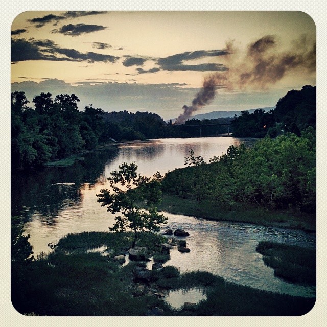
#Riverview of the #JamesRiver in Lynchburg... #water #river #nature #Sunset #andrography #androidonly #photo #picoftheday #Nexus5
Hebron Sunset

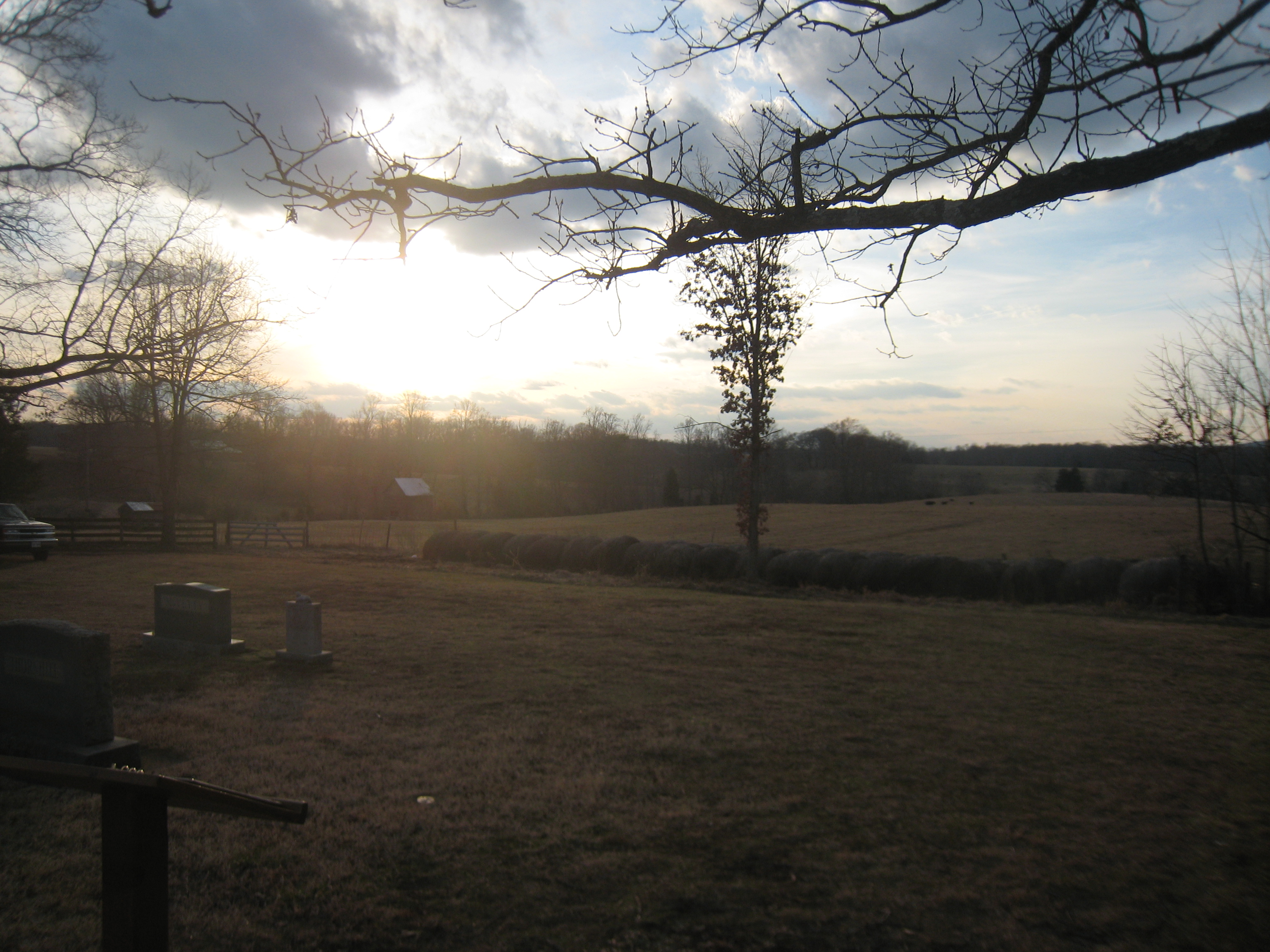
Sad Sunrise
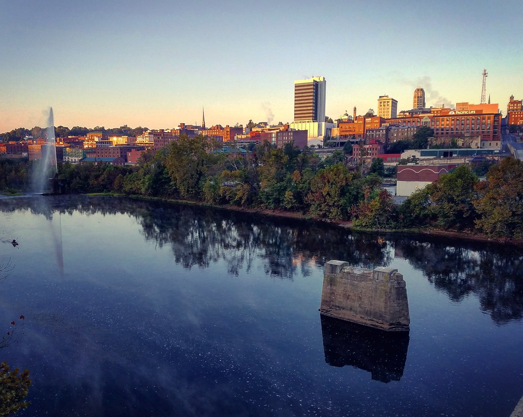
view of downtown Lynchburg from John Lynch bridge
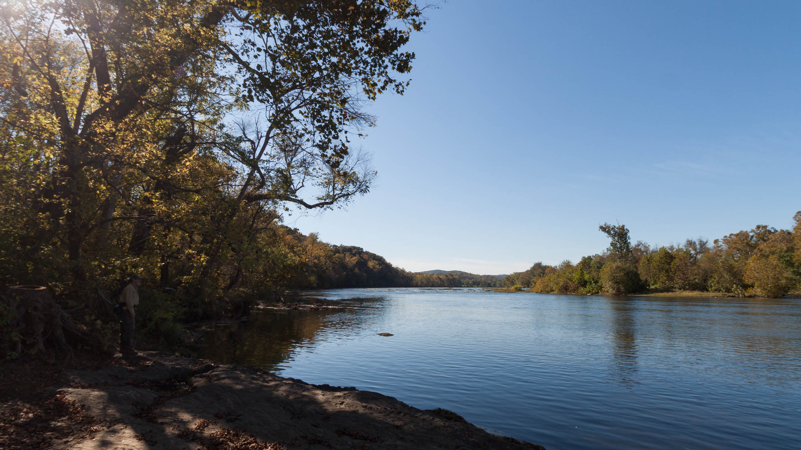
First view of the river
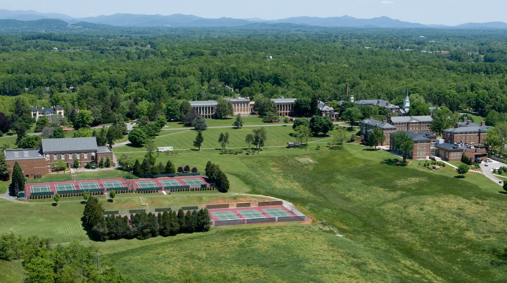
Sweet Briar College
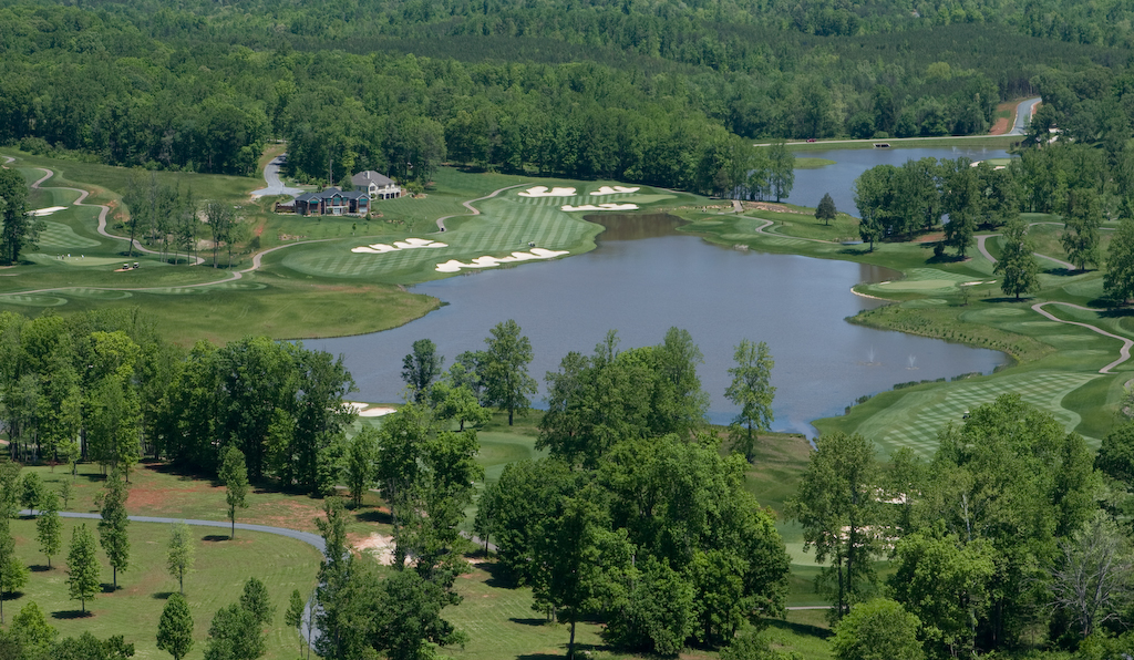
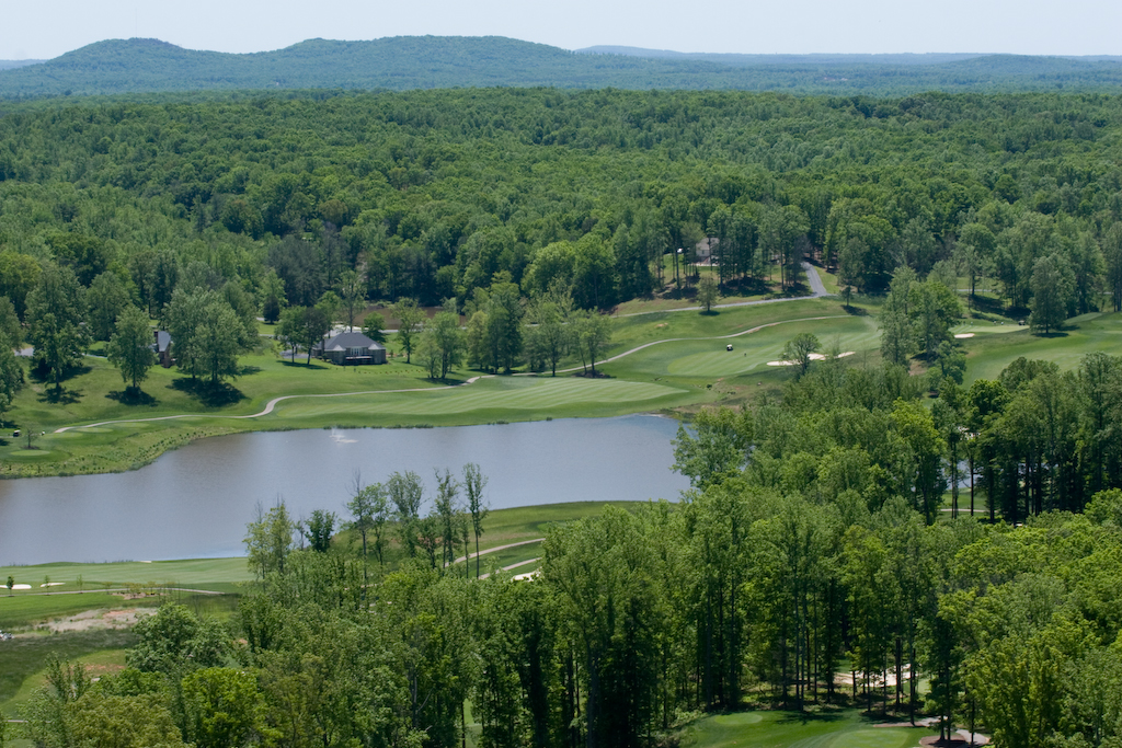
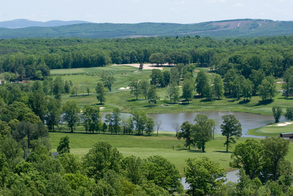
Poplar Grove Golf Course
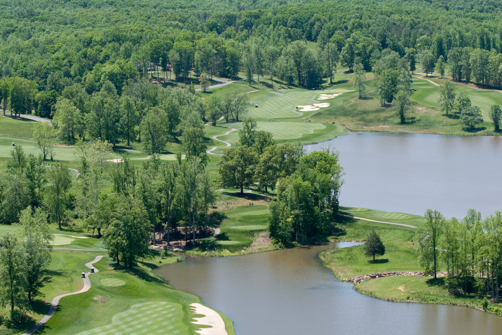
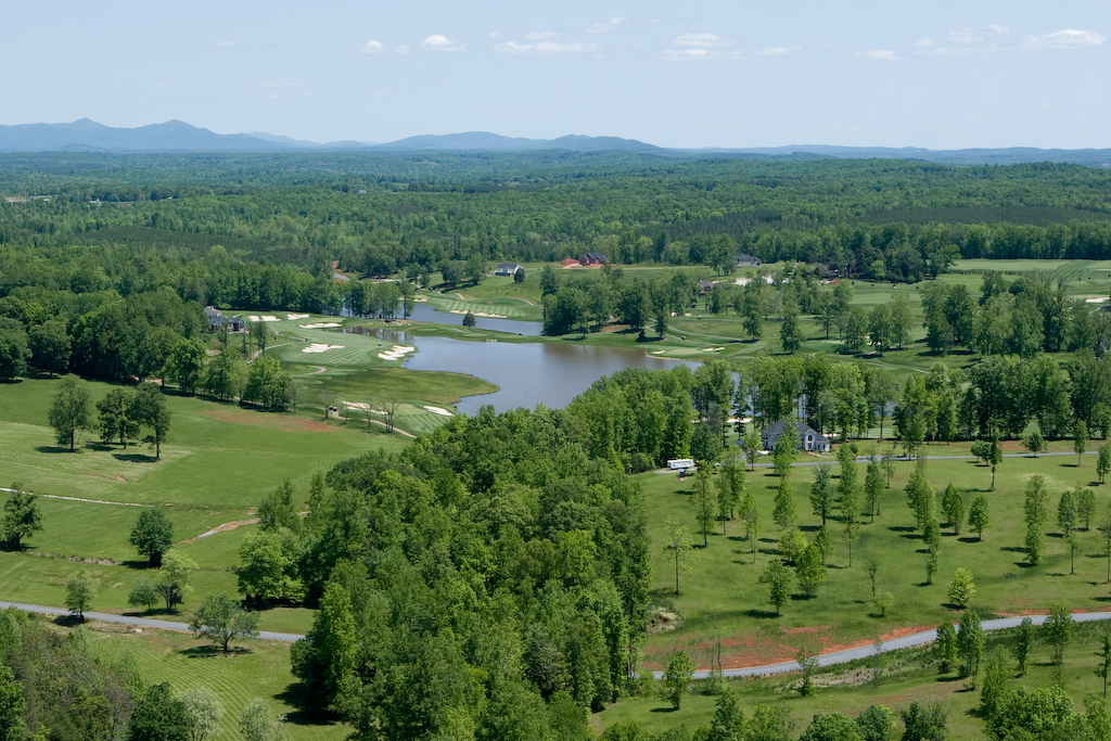
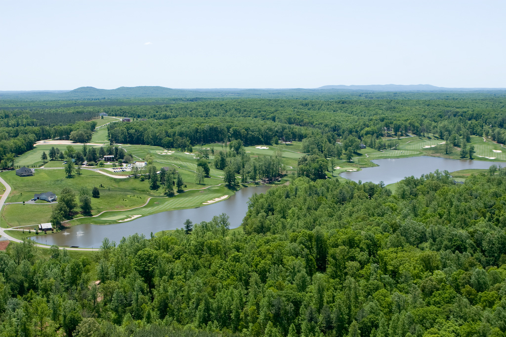
Poplar Grove Golf Course
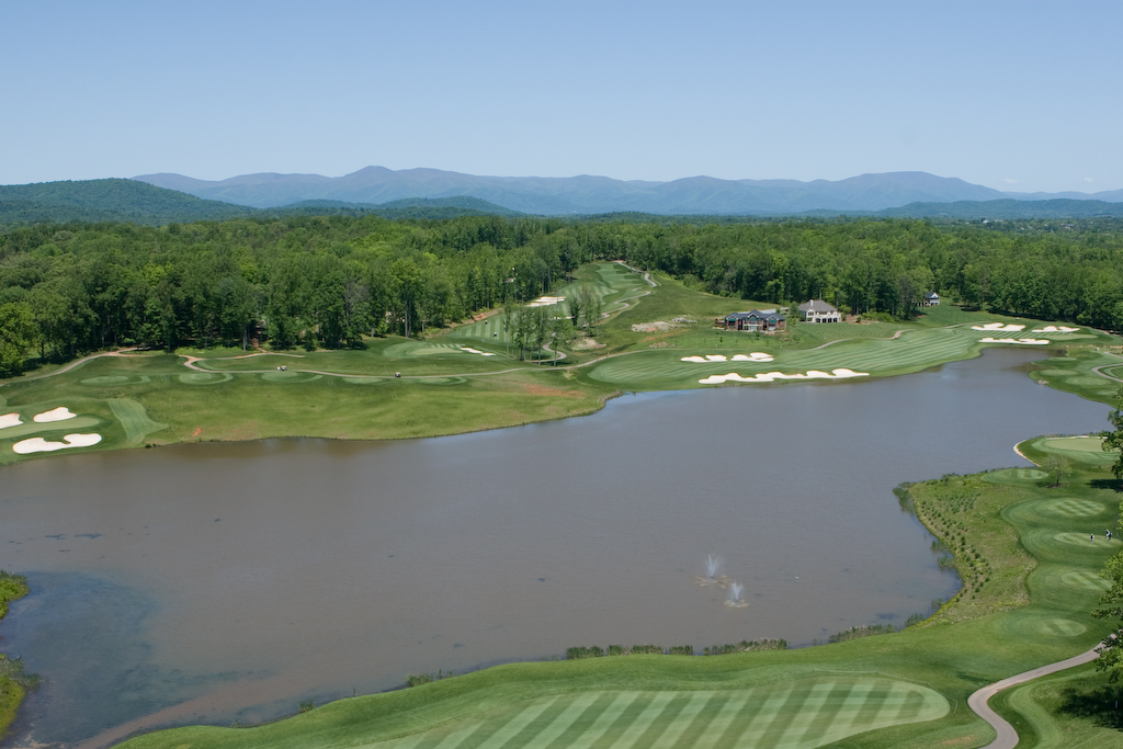
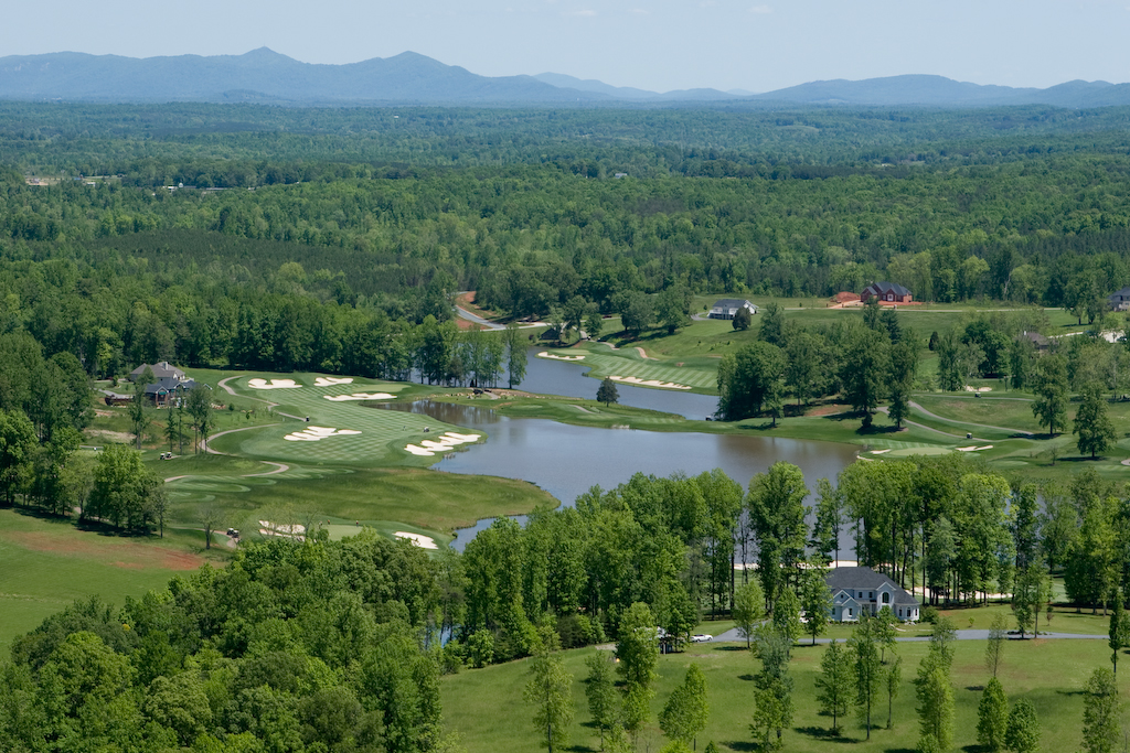
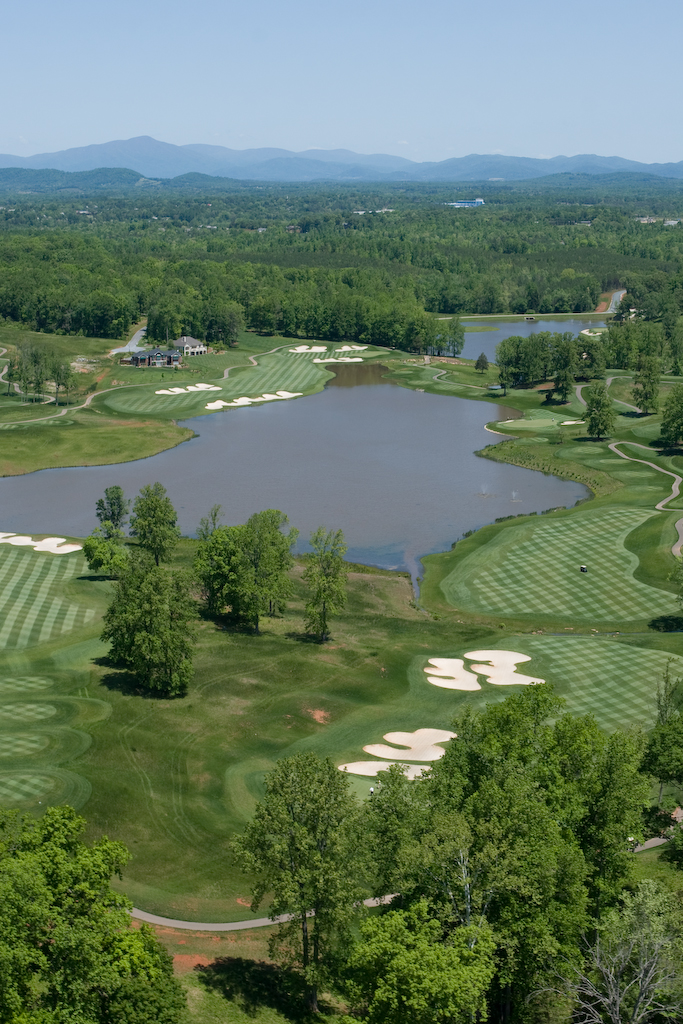
Poplar Grove Golf Course
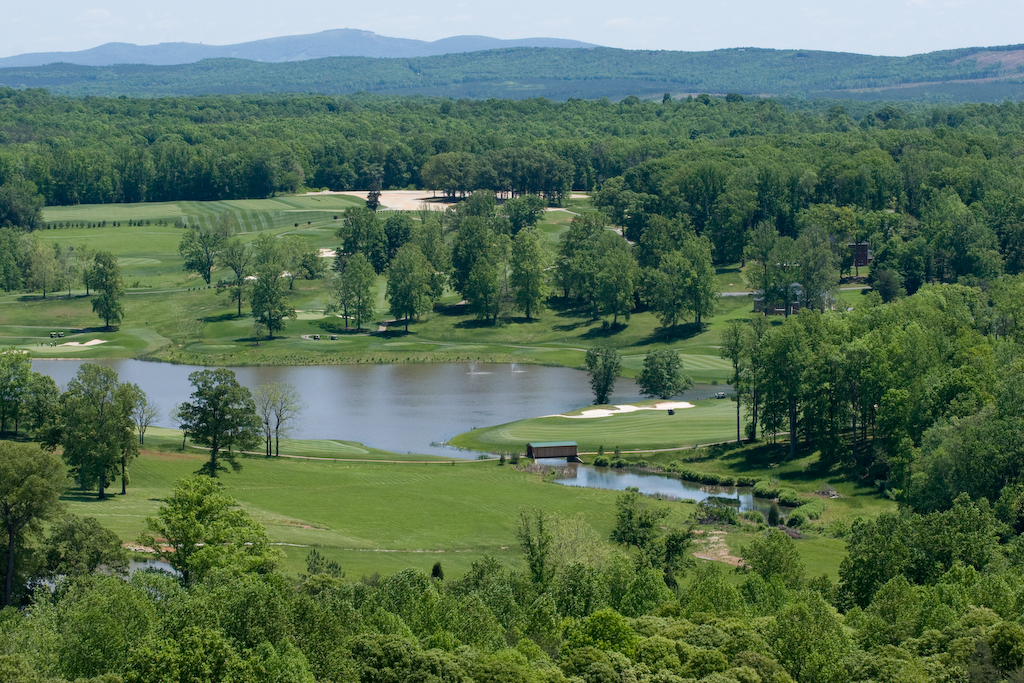
Poplar Grove Golf Course
Poplar Grove Golf Course

Poplar Grove Golf Course
Poplar Grove Golf Course
Poplar Grove Golf Course
Poplar Grove Golf Course
Poplar Grove Golf Course
Poplar Grove Golf Course
Stapleton Rd, Madison Heights, VA アメリカ合衆国の地図
別の場所を検索
近所の場所
Cabin Rd, Madison Heights, VA アメリカ合衆国
Tin Top Pl, Concord, VA アメリカ合衆国
Hayshed Rd, Madison Heights, VA アメリカ合衆国
アメリカ合衆国 バージニア州 1
Mt Athos Rd, Lynchburg, VA アメリカ合衆国
アメリカ合衆国 バージニア州 レック・アイランド
Abbitt Branch Rd, Appomattox, VA アメリカ合衆国
Crescent Dr, Concord, VA アメリカ合衆国
アメリカ合衆国 バージニア州 4
Garland Ave, Amherst, VA アメリカ合衆国
Foxfield Run, Amherst, VA アメリカ合衆国
アメリカ合衆国 〒 バージニア州 アマースト
アメリカ合衆国 〒 バージニア州 スウィート・ブライヤー
S Main St, Amherst, VA アメリカ合衆国
Chapel Road, Sweet Briar, VA アメリカ合衆国スウィート・ブライヤー大学
Richmond Hwy, Concord, VA アメリカ合衆国
アメリカ合衆国 バージニア州 コンコード
アメリカ合衆国 〒 バージニア州 コンコード
アメリカ合衆国 〒 バージニア州 グラッドストーン
アメリカ合衆国 〒 バージニア州 5
最近の検索
- Leguwa ネパール日の出日の入り時間
- Shustino, Vladimir Oblast, ロシア日の出日の入り時間
- Lampiasi St, Sarasota, FL アメリカ合衆国日の出日の入り時間
- 日本、〒- 富山県富山市窪本町12−31 APAガーデンコート稲荷日の出日の入り時間
- 台湾 宜蘭県 大同郷Jialuohu日の出日の入り時間
- 日本、〒- 愛媛県今治市関前大下大下港日の出日の入り時間
- 日本、〒- 愛媛県今治市関前大下1930−1大下港フェリー乗り場日の出日の入り時間
- アルゼンチン ブエノスアイレス州 サン・テルモ日の出日の入り時間
- Congressional Dr, Stevensville, MD アメリカ合衆国日の出日の入り時間
- ギリシャ 〒 04 パピンゴ日の出日の入り時間