Springs Rd, Grantsville, MD アメリカ合衆国日の出日の入り時間
Location: アメリカ合衆国 > メリーランド州 > ガレット > グランツビル > アメリカ合衆国 〒 メリーランド州 グランツビル >
時間帯:
America/New_York
現地時間:
2024-05-03 11:43:02
経度:
-79.1590314
緯度:
39.7205263
今日の日の出時刻:
06:13:30 AM
今日の日の入時刻:
08:13:21 PM
今日の日長:
13h 59m 51s
明日の日の出時刻:
06:12:21 AM
明日の日の入時刻:
08:14:21 PM
明日の日長:
14h 2m 0s
すべて表示する
| 日付 | 日出 | 日没 | 日長 |
|---|---|---|---|
| 2024年01月01日 | 07:37:36 AM | 05:03:11 PM | 9h 25m 35s |
| 2024年01月02日 | 07:37:42 AM | 05:04:02 PM | 9h 26m 20s |
| 2024年01月03日 | 07:37:45 AM | 05:04:54 PM | 9h 27m 9s |
| 2024年01月04日 | 07:37:46 AM | 05:05:47 PM | 9h 28m 1s |
| 2024年01月05日 | 07:37:44 AM | 05:06:42 PM | 9h 28m 58s |
| 2024年01月06日 | 07:37:41 AM | 05:07:38 PM | 9h 29m 57s |
| 2024年01月07日 | 07:37:35 AM | 05:08:35 PM | 9h 31m 0s |
| 2024年01月08日 | 07:37:27 AM | 05:09:33 PM | 9h 32m 6s |
| 2024年01月09日 | 07:37:17 AM | 05:10:33 PM | 9h 33m 16s |
| 2024年01月10日 | 07:37:05 AM | 05:11:33 PM | 9h 34m 28s |
| 2024年01月11日 | 07:36:51 AM | 05:12:35 PM | 9h 35m 44s |
| 2024年01月12日 | 07:36:34 AM | 05:13:38 PM | 9h 37m 4s |
| 2024年01月13日 | 07:36:15 AM | 05:14:41 PM | 9h 38m 26s |
| 2024年01月14日 | 07:35:54 AM | 05:15:45 PM | 9h 39m 51s |
| 2024年01月15日 | 07:35:31 AM | 05:16:51 PM | 9h 41m 20s |
| 2024年01月16日 | 07:35:06 AM | 05:17:57 PM | 9h 42m 51s |
| 2024年01月17日 | 07:34:39 AM | 05:19:03 PM | 9h 44m 24s |
| 2024年01月18日 | 07:34:10 AM | 05:20:10 PM | 9h 46m 0s |
| 2024年01月19日 | 07:33:38 AM | 05:21:18 PM | 9h 47m 40s |
| 2024年01月20日 | 07:33:05 AM | 05:22:27 PM | 9h 49m 22s |
| 2024年01月21日 | 07:32:29 AM | 05:23:36 PM | 9h 51m 7s |
| 2024年01月22日 | 07:31:52 AM | 05:24:45 PM | 9h 52m 53s |
| 2024年01月23日 | 07:31:13 AM | 05:25:55 PM | 9h 54m 42s |
| 2024年01月24日 | 07:30:31 AM | 05:27:05 PM | 9h 56m 34s |
| 2024年01月25日 | 07:29:48 AM | 05:28:15 PM | 9h 58m 27s |
| 2024年01月26日 | 07:29:03 AM | 05:29:26 PM | 10h 0m 23s |
| 2024年01月27日 | 07:28:16 AM | 05:30:37 PM | 10h 2m 21s |
| 2024年01月28日 | 07:27:27 AM | 05:31:48 PM | 10h 4m 21s |
| 2024年01月29日 | 07:26:37 AM | 05:32:59 PM | 10h 6m 22s |
| 2024年01月30日 | 07:25:45 AM | 05:34:11 PM | 10h 8m 26s |
| 2024年01月31日 | 07:24:51 AM | 05:35:22 PM | 10h 10m 31s |
| 2024年02月01日 | 07:23:55 AM | 05:36:34 PM | 10h 12m 39s |
| 2024年02月02日 | 07:22:58 AM | 05:37:45 PM | 10h 14m 47s |
| 2024年02月03日 | 07:21:59 AM | 05:38:57 PM | 10h 16m 58s |
| 2024年02月04日 | 07:20:58 AM | 05:40:08 PM | 10h 19m 10s |
| 2024年02月05日 | 07:19:56 AM | 05:41:20 PM | 10h 21m 24s |
| 2024年02月06日 | 07:18:53 AM | 05:42:31 PM | 10h 23m 38s |
| 2024年02月07日 | 07:17:47 AM | 05:43:42 PM | 10h 25m 55s |
| 2024年02月08日 | 07:16:41 AM | 05:44:54 PM | 10h 28m 13s |
| 2024年02月09日 | 07:15:33 AM | 05:46:05 PM | 10h 30m 32s |
| 2024年02月10日 | 07:14:24 AM | 05:47:15 PM | 10h 32m 51s |
| 2024年02月11日 | 07:13:13 AM | 05:48:26 PM | 10h 35m 13s |
| 2024年02月12日 | 07:12:01 AM | 05:49:36 PM | 10h 37m 35s |
| 2024年02月13日 | 07:10:48 AM | 05:50:47 PM | 10h 39m 59s |
| 2024年02月14日 | 07:09:33 AM | 05:51:56 PM | 10h 42m 23s |
| 2024年02月15日 | 07:08:18 AM | 05:53:06 PM | 10h 44m 48s |
| 2024年02月16日 | 07:07:01 AM | 05:54:16 PM | 10h 47m 15s |
| 2024年02月17日 | 07:05:43 AM | 05:55:25 PM | 10h 49m 42s |
| 2024年02月18日 | 07:04:24 AM | 05:56:34 PM | 10h 52m 10s |
| 2024年02月19日 | 07:03:04 AM | 05:57:42 PM | 10h 54m 38s |
| 2024年02月20日 | 07:01:42 AM | 05:58:51 PM | 10h 57m 9s |
| 2024年02月21日 | 07:00:20 AM | 05:59:59 PM | 10h 59m 39s |
| 2024年02月22日 | 06:58:57 AM | 06:01:06 PM | 11h 2m 9s |
| 2024年02月23日 | 06:57:33 AM | 06:02:14 PM | 11h 4m 41s |
| 2024年02月24日 | 06:56:08 AM | 06:03:21 PM | 11h 7m 13s |
| 2024年02月25日 | 06:54:42 AM | 06:04:27 PM | 11h 9m 45s |
| 2024年02月26日 | 06:53:16 AM | 06:05:34 PM | 11h 12m 18s |
| 2024年02月27日 | 06:51:48 AM | 06:06:40 PM | 11h 14m 52s |
| 2024年02月28日 | 06:50:20 AM | 06:07:46 PM | 11h 17m 26s |
| 2024年02月29日 | 06:48:51 AM | 06:08:51 PM | 11h 20m 0s |
| 2024年03月01日 | 06:47:22 AM | 06:09:57 PM | 11h 22m 35s |
| 2024年03月02日 | 06:45:51 AM | 06:11:02 PM | 11h 25m 11s |
| 2024年03月03日 | 06:44:21 AM | 06:12:06 PM | 11h 27m 45s |
| 2024年03月04日 | 06:42:49 AM | 06:13:11 PM | 11h 30m 22s |
| 2024年03月05日 | 06:41:17 AM | 06:14:15 PM | 11h 32m 58s |
| 2024年03月06日 | 06:39:45 AM | 06:15:19 PM | 11h 35m 34s |
| 2024年03月07日 | 06:38:12 AM | 06:16:22 PM | 11h 38m 10s |
| 2024年03月08日 | 06:36:38 AM | 06:17:26 PM | 11h 40m 48s |
| 2024年03月09日 | 06:35:04 AM | 06:18:29 PM | 11h 43m 25s |
| 2024年03月10日 | 07:33:34 AM | 07:19:29 PM | 11h 45m 55s |
| 2024年03月11日 | 07:31:59 AM | 07:20:31 PM | 11h 48m 32s |
| 2024年03月12日 | 07:30:24 AM | 07:21:34 PM | 11h 51m 10s |
| 2024年03月13日 | 07:28:49 AM | 07:22:36 PM | 11h 53m 47s |
| 2024年03月14日 | 07:27:13 AM | 07:23:38 PM | 11h 56m 25s |
| 2024年03月15日 | 07:25:37 AM | 07:24:40 PM | 11h 59m 3s |
| 2024年03月16日 | 07:24:01 AM | 07:25:41 PM | 12h 1m 40s |
| 2024年03月17日 | 07:22:25 AM | 07:26:43 PM | 12h 4m 18s |
| 2024年03月18日 | 07:20:49 AM | 07:27:44 PM | 12h 6m 55s |
| 2024年03月19日 | 07:19:12 AM | 07:28:45 PM | 12h 9m 33s |
| 2024年03月20日 | 07:17:35 AM | 07:29:46 PM | 12h 12m 11s |
| 2024年03月21日 | 07:15:59 AM | 07:30:47 PM | 12h 14m 48s |
| 2024年03月22日 | 07:14:22 AM | 07:31:47 PM | 12h 17m 25s |
| 2024年03月23日 | 07:12:45 AM | 07:32:48 PM | 12h 20m 3s |
| 2024年03月24日 | 07:11:09 AM | 07:33:48 PM | 12h 22m 39s |
| 2024年03月25日 | 07:09:32 AM | 07:34:49 PM | 12h 25m 17s |
| 2024年03月26日 | 07:07:56 AM | 07:35:49 PM | 12h 27m 53s |
| 2024年03月27日 | 07:06:19 AM | 07:36:49 PM | 12h 30m 30s |
| 2024年03月28日 | 07:04:43 AM | 07:37:50 PM | 12h 33m 7s |
| 2024年03月29日 | 07:03:07 AM | 07:38:50 PM | 12h 35m 43s |
| 2024年03月30日 | 07:01:31 AM | 07:39:50 PM | 12h 38m 19s |
| 2024年03月31日 | 06:59:55 AM | 07:40:50 PM | 12h 40m 55s |
| 2024年04月01日 | 06:58:20 AM | 07:41:50 PM | 12h 43m 30s |
| 2024年04月02日 | 06:56:45 AM | 07:42:50 PM | 12h 46m 5s |
| 2024年04月03日 | 06:55:10 AM | 07:43:50 PM | 12h 48m 40s |
| 2024年04月04日 | 06:53:36 AM | 07:44:50 PM | 12h 51m 14s |
| 2024年04月05日 | 06:52:02 AM | 07:45:50 PM | 12h 53m 48s |
| 2024年04月06日 | 06:50:28 AM | 07:46:50 PM | 12h 56m 22s |
| 2024年04月07日 | 06:48:55 AM | 07:47:49 PM | 12h 58m 54s |
| 2024年04月08日 | 06:47:23 AM | 07:48:49 PM | 13h 1m 26s |
| 2024年04月09日 | 06:45:51 AM | 07:49:49 PM | 13h 3m 58s |
| 2024年04月10日 | 06:44:19 AM | 07:50:49 PM | 13h 6m 30s |
| 2024年04月11日 | 06:42:48 AM | 07:51:50 PM | 13h 9m 2s |
| 2024年04月12日 | 06:41:18 AM | 07:52:50 PM | 13h 11m 32s |
| 2024年04月13日 | 06:39:48 AM | 07:53:50 PM | 13h 14m 2s |
| 2024年04月14日 | 06:38:19 AM | 07:54:50 PM | 13h 16m 31s |
| 2024年04月15日 | 06:36:51 AM | 07:55:50 PM | 13h 18m 59s |
| 2024年04月16日 | 06:35:23 AM | 07:56:50 PM | 13h 21m 27s |
| 2024年04月17日 | 06:33:56 AM | 07:57:50 PM | 13h 23m 54s |
| 2024年04月18日 | 06:32:30 AM | 07:58:51 PM | 13h 26m 21s |
| 2024年04月19日 | 06:31:05 AM | 07:59:51 PM | 13h 28m 46s |
| 2024年04月20日 | 06:29:40 AM | 08:00:51 PM | 13h 31m 11s |
| 2024年04月21日 | 06:28:17 AM | 08:01:51 PM | 13h 33m 34s |
| 2024年04月22日 | 06:26:54 AM | 08:02:52 PM | 13h 35m 58s |
| 2024年04月23日 | 06:25:33 AM | 08:03:52 PM | 13h 38m 19s |
| 2024年04月24日 | 06:24:12 AM | 08:04:52 PM | 13h 40m 40s |
| 2024年04月25日 | 06:22:52 AM | 08:05:52 PM | 13h 43m 0s |
| 2024年04月26日 | 06:21:34 AM | 08:06:52 PM | 13h 45m 18s |
| 2024年04月27日 | 06:20:16 AM | 08:07:52 PM | 13h 47m 36s |
| 2024年04月28日 | 06:19:00 AM | 08:08:52 PM | 13h 49m 52s |
| 2024年04月29日 | 06:17:44 AM | 08:09:52 PM | 13h 52m 8s |
| 2024年04月30日 | 06:16:30 AM | 08:10:52 PM | 13h 54m 22s |
| 2024年05月01日 | 06:15:17 AM | 08:11:52 PM | 13h 56m 35s |
| 2024年05月02日 | 06:14:06 AM | 08:12:51 PM | 13h 58m 45s |
| 2024年05月03日 | 06:12:55 AM | 08:13:51 PM | 14h 0m 56s |
| 2024年05月04日 | 06:11:46 AM | 08:14:50 PM | 14h 3m 4s |
| 2024年05月05日 | 06:10:38 AM | 08:15:49 PM | 14h 5m 11s |
| 2024年05月06日 | 06:09:32 AM | 08:16:48 PM | 14h 7m 16s |
| 2024年05月07日 | 06:08:27 AM | 08:17:47 PM | 14h 9m 20s |
| 2024年05月08日 | 06:07:23 AM | 08:18:45 PM | 14h 11m 22s |
| 2024年05月09日 | 06:06:21 AM | 08:19:43 PM | 14h 13m 22s |
| 2024年05月10日 | 06:05:20 AM | 08:20:41 PM | 14h 15m 21s |
| 2024年05月11日 | 06:04:21 AM | 08:21:38 PM | 14h 17m 17s |
| 2024年05月12日 | 06:03:23 AM | 08:22:35 PM | 14h 19m 12s |
| 2024年05月13日 | 06:02:27 AM | 08:23:32 PM | 14h 21m 5s |
| 2024年05月14日 | 06:01:32 AM | 08:24:28 PM | 14h 22m 56s |
| 2024年05月15日 | 06:00:39 AM | 08:25:23 PM | 14h 24m 44s |
| 2024年05月16日 | 05:59:48 AM | 08:26:19 PM | 14h 26m 31s |
| 2024年05月17日 | 05:58:58 AM | 08:27:13 PM | 14h 28m 15s |
| 2024年05月18日 | 05:58:10 AM | 08:28:07 PM | 14h 29m 57s |
| 2024年05月19日 | 05:57:23 AM | 08:29:01 PM | 14h 31m 38s |
| 2024年05月20日 | 05:56:39 AM | 08:29:53 PM | 14h 33m 14s |
| 2024年05月21日 | 05:55:56 AM | 08:30:45 PM | 14h 34m 49s |
| 2024年05月22日 | 05:55:15 AM | 08:31:37 PM | 14h 36m 22s |
| 2024年05月23日 | 05:54:35 AM | 08:32:27 PM | 14h 37m 52s |
| 2024年05月24日 | 05:53:58 AM | 08:33:17 PM | 14h 39m 19s |
| 2024年05月25日 | 05:53:22 AM | 08:34:06 PM | 14h 40m 44s |
| 2024年05月26日 | 05:52:48 AM | 08:34:54 PM | 14h 42m 6s |
| 2024年05月27日 | 05:52:16 AM | 08:35:41 PM | 14h 43m 25s |
| 2024年05月28日 | 05:51:46 AM | 08:36:27 PM | 14h 44m 41s |
| 2024年05月29日 | 05:51:17 AM | 08:37:12 PM | 14h 45m 55s |
| 2024年05月30日 | 05:50:51 AM | 08:37:56 PM | 14h 47m 5s |
| 2024年05月31日 | 05:50:26 AM | 08:38:39 PM | 14h 48m 13s |
| 2024年06月01日 | 05:50:04 AM | 08:39:21 PM | 14h 49m 17s |
| 2024年06月02日 | 05:49:43 AM | 08:40:02 PM | 14h 50m 19s |
| 2024年06月03日 | 05:49:24 AM | 08:40:41 PM | 14h 51m 17s |
| 2024年06月04日 | 05:49:07 AM | 08:41:19 PM | 14h 52m 12s |
| 2024年06月05日 | 05:48:52 AM | 08:41:56 PM | 14h 53m 4s |
| 2024年06月06日 | 05:48:39 AM | 08:42:32 PM | 14h 53m 53s |
| 2024年06月07日 | 05:48:28 AM | 08:43:06 PM | 14h 54m 38s |
| 2024年06月08日 | 05:48:19 AM | 08:43:39 PM | 14h 55m 20s |
| 2024年06月09日 | 05:48:12 AM | 08:44:10 PM | 14h 55m 58s |
| 2024年06月10日 | 05:48:07 AM | 08:44:40 PM | 14h 56m 33s |
| 2024年06月11日 | 05:48:03 AM | 08:45:08 PM | 14h 57m 5s |
| 2024年06月12日 | 05:48:02 AM | 08:45:35 PM | 14h 57m 33s |
| 2024年06月13日 | 05:48:02 AM | 08:46:00 PM | 14h 57m 58s |
| 2024年06月14日 | 05:48:04 AM | 08:46:23 PM | 14h 58m 19s |
| 2024年06月15日 | 05:48:09 AM | 08:46:45 PM | 14h 58m 36s |
| 2024年06月16日 | 05:48:14 AM | 08:47:05 PM | 14h 58m 51s |
| 2024年06月17日 | 05:48:22 AM | 08:47:23 PM | 14h 59m 1s |
| 2024年06月18日 | 05:48:32 AM | 08:47:40 PM | 14h 59m 8s |
| 2024年06月19日 | 05:48:43 AM | 08:47:55 PM | 14h 59m 12s |
| 2024年06月20日 | 05:48:56 AM | 08:48:08 PM | 14h 59m 12s |
| 2024年06月21日 | 05:49:11 AM | 08:48:19 PM | 14h 59m 8s |
| 2024年06月22日 | 05:49:28 AM | 08:48:28 PM | 14h 59m 0s |
| 2024年06月23日 | 05:49:46 AM | 08:48:36 PM | 14h 58m 50s |
| 2024年06月24日 | 05:50:06 AM | 08:48:41 PM | 14h 58m 35s |
| 2024年06月25日 | 05:50:27 AM | 08:48:45 PM | 14h 58m 18s |
| 2024年06月26日 | 05:50:50 AM | 08:48:47 PM | 14h 57m 57s |
| 2024年06月27日 | 05:51:15 AM | 08:48:47 PM | 14h 57m 32s |
| 2024年06月28日 | 05:51:41 AM | 08:48:44 PM | 14h 57m 3s |
| 2024年06月29日 | 05:52:09 AM | 08:48:40 PM | 14h 56m 31s |
| 2024年06月30日 | 05:52:38 AM | 08:48:34 PM | 14h 55m 56s |
| 2024年07月01日 | 05:53:09 AM | 08:48:26 PM | 14h 55m 17s |
| 2024年07月02日 | 05:53:41 AM | 08:48:16 PM | 14h 54m 35s |
| 2024年07月03日 | 05:54:14 AM | 08:48:05 PM | 14h 53m 51s |
| 2024年07月04日 | 05:54:48 AM | 08:47:51 PM | 14h 53m 3s |
| 2024年07月05日 | 05:55:24 AM | 08:47:35 PM | 14h 52m 11s |
| 2024年07月06日 | 05:56:01 AM | 08:47:17 PM | 14h 51m 16s |
| 2024年07月07日 | 05:56:40 AM | 08:46:57 PM | 14h 50m 17s |
| 2024年07月08日 | 05:57:19 AM | 08:46:36 PM | 14h 49m 17s |
| 2024年07月09日 | 05:57:59 AM | 08:46:12 PM | 14h 48m 13s |
| 2024年07月10日 | 05:58:41 AM | 08:45:46 PM | 14h 47m 5s |
| 2024年07月11日 | 05:59:24 AM | 08:45:19 PM | 14h 45m 55s |
| 2024年07月12日 | 06:00:07 AM | 08:44:49 PM | 14h 44m 42s |
| 2024年07月13日 | 06:00:52 AM | 08:44:18 PM | 14h 43m 26s |
| 2024年07月14日 | 06:01:37 AM | 08:43:45 PM | 14h 42m 8s |
| 2024年07月15日 | 06:02:23 AM | 08:43:09 PM | 14h 40m 46s |
| 2024年07月16日 | 06:03:10 AM | 08:42:32 PM | 14h 39m 22s |
| 2024年07月17日 | 06:03:58 AM | 08:41:54 PM | 14h 37m 56s |
| 2024年07月18日 | 06:04:46 AM | 08:41:13 PM | 14h 36m 27s |
| 2024年07月19日 | 06:05:36 AM | 08:40:30 PM | 14h 34m 54s |
| 2024年07月20日 | 06:06:26 AM | 08:39:46 PM | 14h 33m 20s |
| 2024年07月21日 | 06:07:16 AM | 08:39:00 PM | 14h 31m 44s |
| 2024年07月22日 | 06:08:07 AM | 08:38:12 PM | 14h 30m 5s |
| 2024年07月23日 | 06:08:59 AM | 08:37:23 PM | 14h 28m 24s |
| 2024年07月24日 | 06:09:51 AM | 08:36:32 PM | 14h 26m 41s |
| 2024年07月25日 | 06:10:43 AM | 08:35:39 PM | 14h 24m 56s |
| 2024年07月26日 | 06:11:37 AM | 08:34:44 PM | 14h 23m 7s |
| 2024年07月27日 | 06:12:30 AM | 08:33:48 PM | 14h 21m 18s |
| 2024年07月28日 | 06:13:24 AM | 08:32:51 PM | 14h 19m 27s |
| 2024年07月29日 | 06:14:18 AM | 08:31:51 PM | 14h 17m 33s |
| 2024年07月30日 | 06:15:12 AM | 08:30:51 PM | 14h 15m 39s |
| 2024年07月31日 | 06:16:07 AM | 08:29:48 PM | 14h 13m 41s |
| 2024年08月01日 | 06:17:02 AM | 08:28:44 PM | 14h 11m 42s |
| 2024年08月02日 | 06:17:58 AM | 08:27:39 PM | 14h 9m 41s |
| 2024年08月03日 | 06:18:53 AM | 08:26:33 PM | 14h 7m 40s |
| 2024年08月04日 | 06:19:49 AM | 08:25:25 PM | 14h 5m 36s |
| 2024年08月05日 | 06:20:45 AM | 08:24:15 PM | 14h 3m 30s |
| 2024年08月06日 | 06:21:41 AM | 08:23:05 PM | 14h 1m 24s |
| 2024年08月07日 | 06:22:37 AM | 08:21:53 PM | 13h 59m 16s |
| 2024年08月08日 | 06:23:33 AM | 08:20:39 PM | 13h 57m 6s |
| 2024年08月09日 | 06:24:29 AM | 08:19:25 PM | 13h 54m 56s |
| 2024年08月10日 | 06:25:25 AM | 08:18:09 PM | 13h 52m 44s |
| 2024年08月11日 | 06:26:22 AM | 08:16:52 PM | 13h 50m 30s |
| 2024年08月12日 | 06:27:18 AM | 08:15:34 PM | 13h 48m 16s |
| 2024年08月13日 | 06:28:15 AM | 08:14:15 PM | 13h 46m 0s |
| 2024年08月14日 | 06:29:11 AM | 08:12:55 PM | 13h 43m 44s |
| 2024年08月15日 | 06:30:08 AM | 08:11:33 PM | 13h 41m 25s |
| 2024年08月16日 | 06:31:04 AM | 08:10:11 PM | 13h 39m 7s |
| 2024年08月17日 | 06:32:01 AM | 08:08:48 PM | 13h 36m 47s |
| 2024年08月18日 | 06:32:57 AM | 08:07:24 PM | 13h 34m 27s |
| 2024年08月19日 | 06:33:53 AM | 08:05:58 PM | 13h 32m 5s |
| 2024年08月20日 | 06:34:50 AM | 08:04:32 PM | 13h 29m 42s |
| 2024年08月21日 | 06:35:46 AM | 08:03:05 PM | 13h 27m 19s |
| 2024年08月22日 | 06:36:42 AM | 08:01:38 PM | 13h 24m 56s |
| 2024年08月23日 | 06:37:39 AM | 08:00:09 PM | 13h 22m 30s |
| 2024年08月24日 | 06:38:35 AM | 07:58:40 PM | 13h 20m 5s |
| 2024年08月25日 | 06:39:31 AM | 07:57:10 PM | 13h 17m 39s |
| 2024年08月26日 | 06:40:27 AM | 07:55:39 PM | 13h 15m 12s |
| 2024年08月27日 | 06:41:23 AM | 07:54:07 PM | 13h 12m 44s |
| 2024年08月28日 | 06:42:19 AM | 07:52:35 PM | 13h 10m 16s |
| 2024年08月29日 | 06:43:15 AM | 07:51:03 PM | 13h 7m 48s |
| 2024年08月30日 | 06:44:10 AM | 07:49:29 PM | 13h 5m 19s |
| 2024年08月31日 | 06:45:06 AM | 07:47:55 PM | 13h 2m 49s |
| 2024年09月01日 | 06:46:02 AM | 07:46:21 PM | 13h 0m 19s |
| 2024年09月02日 | 06:46:57 AM | 07:44:46 PM | 12h 57m 49s |
| 2024年09月03日 | 06:47:53 AM | 07:43:11 PM | 12h 55m 18s |
| 2024年09月04日 | 06:48:49 AM | 07:41:35 PM | 12h 52m 46s |
| 2024年09月05日 | 06:49:44 AM | 07:39:59 PM | 12h 50m 15s |
| 2024年09月06日 | 06:50:40 AM | 07:38:22 PM | 12h 47m 42s |
| 2024年09月07日 | 06:51:35 AM | 07:36:45 PM | 12h 45m 10s |
| 2024年09月08日 | 06:52:31 AM | 07:35:08 PM | 12h 42m 37s |
| 2024年09月09日 | 06:53:26 AM | 07:33:30 PM | 12h 40m 4s |
| 2024年09月10日 | 06:54:22 AM | 07:31:52 PM | 12h 37m 30s |
| 2024年09月11日 | 06:55:18 AM | 07:30:14 PM | 12h 34m 56s |
| 2024年09月12日 | 06:56:13 AM | 07:28:36 PM | 12h 32m 23s |
| 2024年09月13日 | 06:57:09 AM | 07:26:58 PM | 12h 29m 49s |
| 2024年09月14日 | 06:58:05 AM | 07:25:19 PM | 12h 27m 14s |
| 2024年09月15日 | 06:59:00 AM | 07:23:40 PM | 12h 24m 40s |
| 2024年09月16日 | 06:59:56 AM | 07:22:02 PM | 12h 22m 6s |
| 2024年09月17日 | 07:00:52 AM | 07:20:23 PM | 12h 19m 31s |
| 2024年09月18日 | 07:01:48 AM | 07:18:44 PM | 12h 16m 56s |
| 2024年09月19日 | 07:02:44 AM | 07:17:05 PM | 12h 14m 21s |
| 2024年09月20日 | 07:03:41 AM | 07:15:26 PM | 12h 11m 45s |
| 2024年09月21日 | 07:04:37 AM | 07:13:48 PM | 12h 9m 11s |
| 2024年09月22日 | 07:05:34 AM | 07:12:09 PM | 12h 6m 35s |
| 2024年09月23日 | 07:06:30 AM | 07:10:30 PM | 12h 4m 0s |
| 2024年09月24日 | 07:07:27 AM | 07:08:52 PM | 12h 1m 25s |
| 2024年09月25日 | 07:08:24 AM | 07:07:14 PM | 11h 58m 50s |
| 2024年09月26日 | 07:09:21 AM | 07:05:36 PM | 11h 56m 15s |
| 2024年09月27日 | 07:10:19 AM | 07:03:58 PM | 11h 53m 39s |
| 2024年09月28日 | 07:11:16 AM | 07:02:21 PM | 11h 51m 5s |
| 2024年09月29日 | 07:12:14 AM | 07:00:44 PM | 11h 48m 30s |
| 2024年09月30日 | 07:13:12 AM | 06:59:07 PM | 11h 45m 55s |
| 2024年10月01日 | 07:14:11 AM | 06:57:30 PM | 11h 43m 19s |
| 2024年10月02日 | 07:15:09 AM | 06:55:54 PM | 11h 40m 45s |
| 2024年10月03日 | 07:16:08 AM | 06:54:19 PM | 11h 38m 11s |
| 2024年10月04日 | 07:17:07 AM | 06:52:43 PM | 11h 35m 36s |
| 2024年10月05日 | 07:18:07 AM | 06:51:09 PM | 11h 33m 2s |
| 2024年10月06日 | 07:19:06 AM | 06:49:35 PM | 11h 30m 29s |
| 2024年10月07日 | 07:20:06 AM | 06:48:01 PM | 11h 27m 55s |
| 2024年10月08日 | 07:21:06 AM | 06:46:28 PM | 11h 25m 22s |
| 2024年10月09日 | 07:22:07 AM | 06:44:56 PM | 11h 22m 49s |
| 2024年10月10日 | 07:23:08 AM | 06:43:24 PM | 11h 20m 16s |
| 2024年10月11日 | 07:24:09 AM | 06:41:53 PM | 11h 17m 44s |
| 2024年10月12日 | 07:25:10 AM | 06:40:22 PM | 11h 15m 12s |
| 2024年10月13日 | 07:26:12 AM | 06:38:53 PM | 11h 12m 41s |
| 2024年10月14日 | 07:27:14 AM | 06:37:24 PM | 11h 10m 10s |
| 2024年10月15日 | 07:28:17 AM | 06:35:56 PM | 11h 7m 39s |
| 2024年10月16日 | 07:29:20 AM | 06:34:29 PM | 11h 5m 9s |
| 2024年10月17日 | 07:30:23 AM | 06:33:02 PM | 11h 2m 39s |
| 2024年10月18日 | 07:31:26 AM | 06:31:37 PM | 11h 0m 11s |
| 2024年10月19日 | 07:32:30 AM | 06:30:12 PM | 10h 57m 42s |
| 2024年10月20日 | 07:33:34 AM | 06:28:49 PM | 10h 55m 15s |
| 2024年10月21日 | 07:34:38 AM | 06:27:26 PM | 10h 52m 48s |
| 2024年10月22日 | 07:35:43 AM | 06:26:05 PM | 10h 50m 22s |
| 2024年10月23日 | 07:36:48 AM | 06:24:45 PM | 10h 47m 57s |
| 2024年10月24日 | 07:37:54 AM | 06:23:25 PM | 10h 45m 31s |
| 2024年10月25日 | 07:38:59 AM | 06:22:07 PM | 10h 43m 8s |
| 2024年10月26日 | 07:40:05 AM | 06:20:50 PM | 10h 40m 45s |
| 2024年10月27日 | 07:41:12 AM | 06:19:35 PM | 10h 38m 23s |
| 2024年10月28日 | 07:42:18 AM | 06:18:20 PM | 10h 36m 2s |
| 2024年10月29日 | 07:43:25 AM | 06:17:07 PM | 10h 33m 42s |
| 2024年10月30日 | 07:44:32 AM | 06:15:55 PM | 10h 31m 23s |
| 2024年10月31日 | 07:45:39 AM | 06:14:45 PM | 10h 29m 6s |
| 2024年11月01日 | 07:46:47 AM | 06:13:36 PM | 10h 26m 49s |
| 2024年11月02日 | 07:47:54 AM | 06:12:28 PM | 10h 24m 34s |
| 2024年11月03日 | 06:49:05 AM | 05:11:19 PM | 10h 22m 14s |
| 2024年11月04日 | 06:50:13 AM | 05:10:15 PM | 10h 20m 2s |
| 2024年11月05日 | 06:51:21 AM | 05:09:12 PM | 10h 17m 51s |
| 2024年11月06日 | 06:52:30 AM | 05:08:10 PM | 10h 15m 40s |
| 2024年11月07日 | 06:53:38 AM | 05:07:10 PM | 10h 13m 32s |
| 2024年11月08日 | 06:54:46 AM | 05:06:12 PM | 10h 11m 26s |
| 2024年11月09日 | 06:55:55 AM | 05:05:15 PM | 10h 9m 20s |
| 2024年11月10日 | 06:57:03 AM | 05:04:20 PM | 10h 7m 17s |
| 2024年11月11日 | 06:58:11 AM | 05:03:27 PM | 10h 5m 16s |
| 2024年11月12日 | 06:59:20 AM | 05:02:36 PM | 10h 3m 16s |
| 2024年11月13日 | 07:00:28 AM | 05:01:46 PM | 10h 1m 18s |
| 2024年11月14日 | 07:01:36 AM | 05:00:59 PM | 9h 59m 23s |
| 2024年11月15日 | 07:02:44 AM | 05:00:13 PM | 9h 57m 29s |
| 2024年11月16日 | 07:03:51 AM | 04:59:29 PM | 9h 55m 38s |
| 2024年11月17日 | 07:04:59 AM | 04:58:47 PM | 9h 53m 48s |
| 2024年11月18日 | 07:06:06 AM | 04:58:07 PM | 9h 52m 1s |
| 2024年11月19日 | 07:07:12 AM | 04:57:29 PM | 9h 50m 17s |
| 2024年11月20日 | 07:08:19 AM | 04:56:53 PM | 9h 48m 34s |
| 2024年11月21日 | 07:09:24 AM | 04:56:19 PM | 9h 46m 55s |
| 2024年11月22日 | 07:10:30 AM | 04:55:47 PM | 9h 45m 17s |
| 2024年11月23日 | 07:11:35 AM | 04:55:17 PM | 9h 43m 42s |
| 2024年11月24日 | 07:12:39 AM | 04:54:49 PM | 9h 42m 10s |
| 2024年11月25日 | 07:13:42 AM | 04:54:24 PM | 9h 40m 42s |
| 2024年11月26日 | 07:14:45 AM | 04:54:00 PM | 9h 39m 15s |
| 2024年11月27日 | 07:15:47 AM | 04:53:39 PM | 9h 37m 52s |
| 2024年11月28日 | 07:16:49 AM | 04:53:20 PM | 9h 36m 31s |
| 2024年11月29日 | 07:17:49 AM | 04:53:03 PM | 9h 35m 14s |
| 2024年11月30日 | 07:18:49 AM | 04:52:48 PM | 9h 33m 59s |
| 2024年12月01日 | 07:19:48 AM | 04:52:35 PM | 9h 32m 47s |
| 2024年12月02日 | 07:20:45 AM | 04:52:25 PM | 9h 31m 40s |
| 2024年12月03日 | 07:21:42 AM | 04:52:17 PM | 9h 30m 35s |
| 2024年12月04日 | 07:22:37 AM | 04:52:11 PM | 9h 29m 34s |
| 2024年12月05日 | 07:23:32 AM | 04:52:07 PM | 9h 28m 35s |
| 2024年12月06日 | 07:24:25 AM | 04:52:06 PM | 9h 27m 41s |
| 2024年12月07日 | 07:25:16 AM | 04:52:07 PM | 9h 26m 51s |
| 2024年12月08日 | 07:26:07 AM | 04:52:10 PM | 9h 26m 3s |
| 2024年12月09日 | 07:26:56 AM | 04:52:15 PM | 9h 25m 19s |
| 2024年12月10日 | 07:27:44 AM | 04:52:23 PM | 9h 24m 39s |
| 2024年12月11日 | 07:28:30 AM | 04:52:33 PM | 9h 24m 3s |
| 2024年12月12日 | 07:29:14 AM | 04:52:45 PM | 9h 23m 31s |
| 2024年12月13日 | 07:29:57 AM | 04:52:59 PM | 9h 23m 2s |
| 2024年12月14日 | 07:30:39 AM | 04:53:15 PM | 9h 22m 36s |
| 2024年12月15日 | 07:31:18 AM | 04:53:34 PM | 9h 22m 16s |
| 2024年12月16日 | 07:31:56 AM | 04:53:55 PM | 9h 21m 59s |
| 2024年12月17日 | 07:32:33 AM | 04:54:17 PM | 9h 21m 44s |
| 2024年12月18日 | 07:33:07 AM | 04:54:42 PM | 9h 21m 35s |
| 2024年12月19日 | 07:33:40 AM | 04:55:09 PM | 9h 21m 29s |
| 2024年12月20日 | 07:34:10 AM | 04:55:38 PM | 9h 21m 28s |
| 2024年12月21日 | 07:34:39 AM | 04:56:09 PM | 9h 21m 30s |
| 2024年12月22日 | 07:35:06 AM | 04:56:42 PM | 9h 21m 36s |
| 2024年12月23日 | 07:35:31 AM | 04:57:17 PM | 9h 21m 46s |
| 2024年12月24日 | 07:35:54 AM | 04:57:53 PM | 9h 21m 59s |
| 2024年12月25日 | 07:36:14 AM | 04:58:32 PM | 9h 22m 18s |
| 2024年12月26日 | 07:36:33 AM | 04:59:12 PM | 9h 22m 39s |
| 2024年12月27日 | 07:36:50 AM | 04:59:54 PM | 9h 23m 4s |
| 2024年12月28日 | 07:37:04 AM | 05:00:38 PM | 9h 23m 34s |
| 2024年12月29日 | 07:37:16 AM | 05:01:23 PM | 9h 24m 7s |
| 2024年12月30日 | 07:37:27 AM | 05:02:10 PM | 9h 24m 43s |
写真

Salisbury Sunrise

White pickup

CSXT 424 @ Meyersdale, PA

Western PA sunsets. Boom.

sunset (1)

sunset (2)
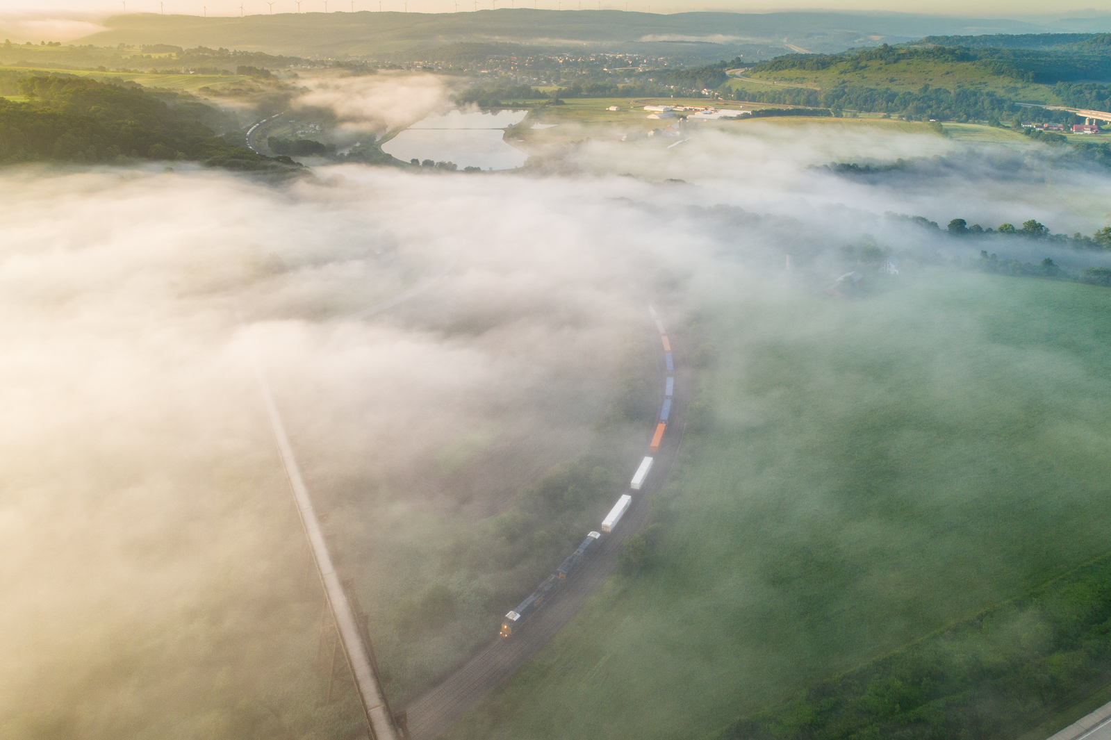
In the clouds

Sunrise over Golden Arches.

Casselman River

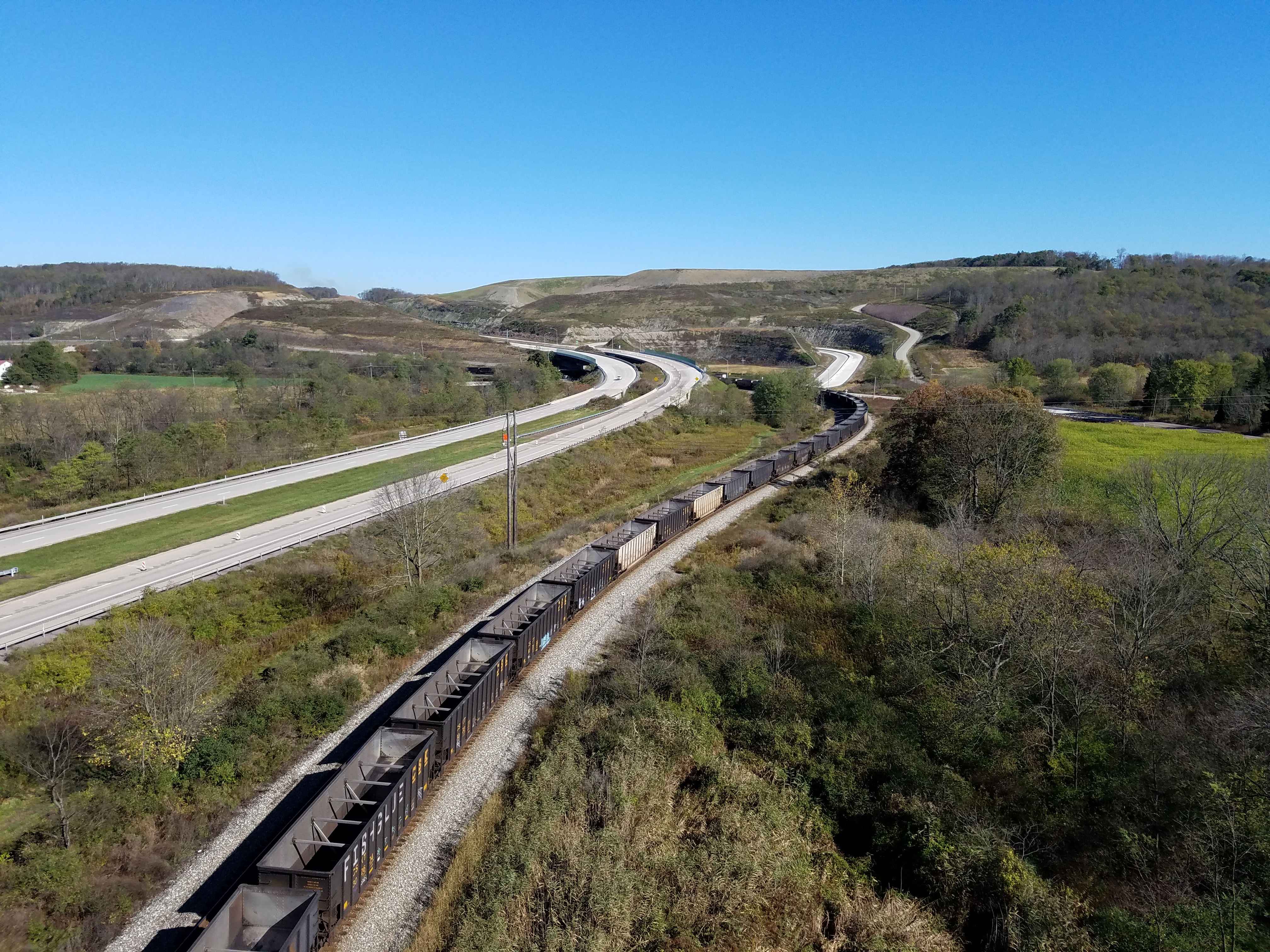
Pinkerton Tunnel Viaduct
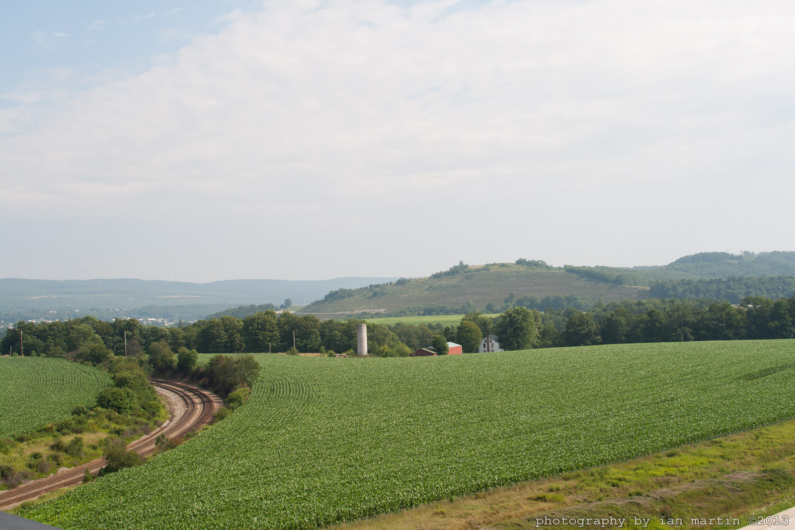
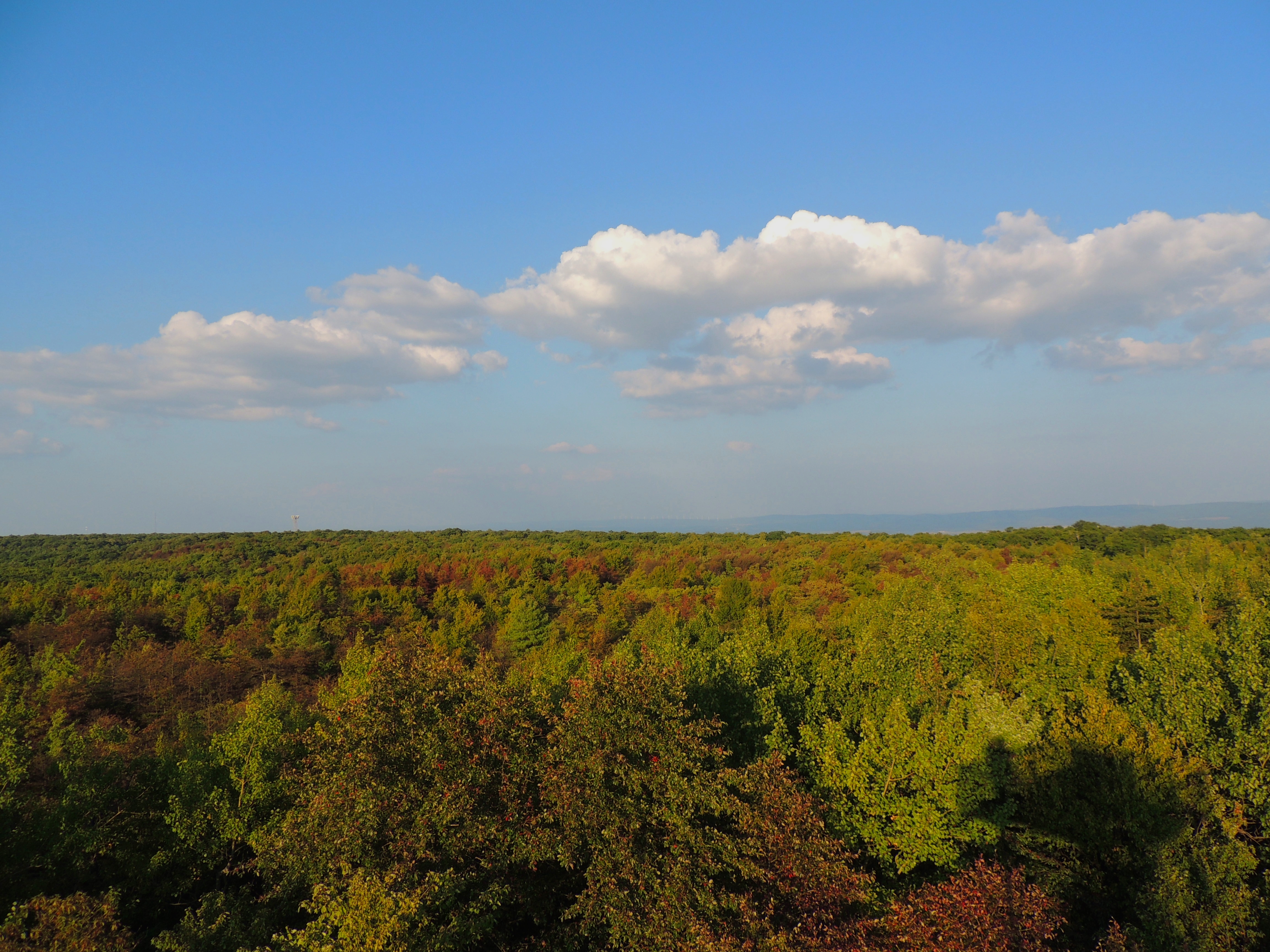
Salisbury View

View from Salisbury Viaduct

Salisbury Viaduct, Great Allegheny Passage Trail
Salisbury Viaduct, Great Allegheny Passage Tail

View from Salisbury Viaduct
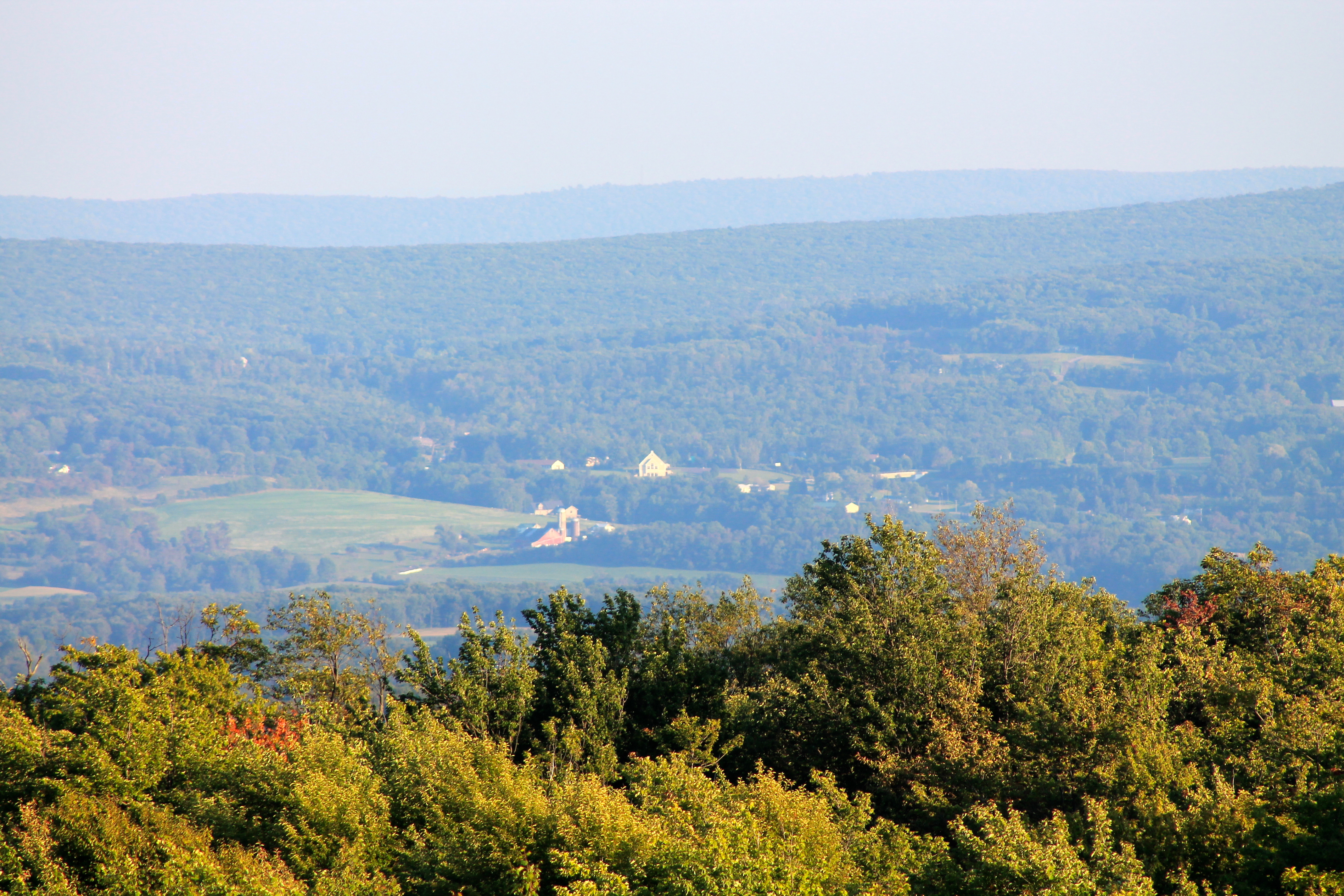
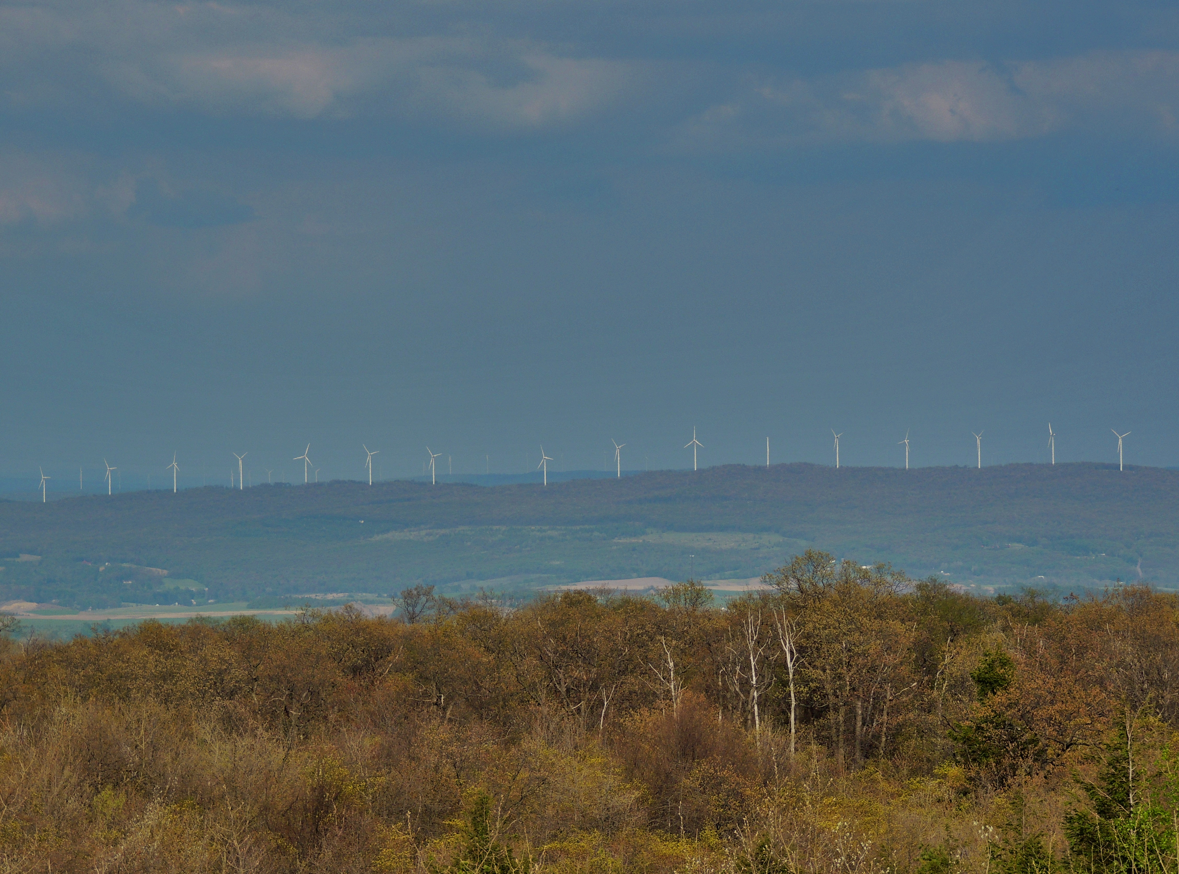
View SE from Mt. Davis Fire Tower

View from Salisbury Viaduct

View west toward Laurel Ridge from Mt. Davis Fire Tower

View NE from Mt. Davis Fire Tower

View east from Mt. Davis Fire Tower

Casselman River

View from the Cassleman Bridge

Casselmans River

View from Mt. Davis Tower
View from the Top of PA
View from Mt. Davis Tower

SW view from US 219 overlook near Keysers Ridge, MD

View from Mt. Davis Tower

View from Mt. Davis Tower
Springs Rd, Grantsville, MD アメリカ合衆国の地図
別の場所を検索
近所の場所
アメリカ合衆国 〒 メリーランド州 グランツビル
Zehner Rd, Grantsville, MD アメリカ合衆国
アメリカ合衆国 メリーランド州 3, グランツビル
Durst Rd, Grantsville, MD アメリカ合衆国
Grantsville, MD アメリカ合衆国Negro Mountain Church
Root Beachy Rd, Grantsville, MD アメリカ合衆国
アメリカ合衆国 〒 メリーランド州 ケイザーズ・リッジ
Headquarters Ln, Grantsville, MD アメリカ合衆国ニュー・ジャーマニー州立公園
McAndrews Hill Rd, Grantsville, MD アメリカ合衆国
Bowman Hill Rd, Maryland, アメリカ合衆国ボウマン・ヒル・ロード
アメリカ合衆国 メリーランド州 12, ビッティンガー
Bittinger Rd, Swanton, MD アメリカ合衆国
アメリカ合衆国 メリーランド州 5, アクシデント
アメリカ合衆国 〒 メリーランド州 アクシデント
Bear Creek Rd, Accident, MD アメリカ合衆国
アメリカ合衆国 メリーランド州 ガレット
Friendsville Addison Rd, Friendsville, MD アメリカ合衆国
Negro Mountain Rd, Accident, MD アメリカ合衆国Negro Mountain Road
Stiff Rd, Addison, PA アメリカ合衆国
Klotz Farm Dr, McHenry, MD アメリカ合衆国
最近の検索
- Woodland Oak Pl, Thousand Oaks, CA, USA日の出日の入り時間
- Sarangdanda, Nepal日の出日の入り時間
- 日本、〒- 宮城県塩竈市中の島日の出日の入り時間
- bp - 63 Rte de l'Observatoire, Bouzareah, アルジェリアアルジェ天文台日の出日の入り時間
- Crocker Dr, Vacaville, CA アメリカ合衆国日の出日の入り時間
- Pu Ngaol Community Meeting Hall, HWHM+3X7, Krong Saen Monourom, Cambodia日の出日の入り時間
- batu 10, Jalan Pantai, Port Dickson, Melaka, マレーシアPantai Cermin日の出日の入り時間
- Groblershoop, 南アフリカ日の出日の入り時間
- Petriti, Greece日の出日の入り時間
- Chesaw Rd, Oroville, WA アメリカ合衆国日の出日の入り時間