Relief Hill Rd, Nevada City, CA アメリカ合衆国日の出日の入り時間
Location: アメリカ合衆国 > カリフォルニア州 > ネバダ > アメリカ合衆国 〒 カリフォルニア州 ネバダシティ >
時間帯:
America/Los_Angeles
現地時間:
2024-04-27 16:16:20
経度:
-120.85837
緯度:
39.361981
今日の日の出時刻:
06:06:57 AM
今日の日の入時刻:
07:54:37 PM
今日の日長:
13h 47m 40s
明日の日の出時刻:
06:05:42 AM
明日の日の入時刻:
07:55:36 PM
明日の日長:
13h 49m 54s
すべて表示する
| 日付 | 日出 | 日没 | 日長 |
|---|---|---|---|
| 2024年01月01日 | 07:23:22 AM | 04:51:14 PM | 9h 27m 52s |
| 2024年01月02日 | 07:23:28 AM | 04:52:05 PM | 9h 28m 37s |
| 2024年01月03日 | 07:23:31 AM | 04:52:57 PM | 9h 29m 26s |
| 2024年01月04日 | 07:23:31 AM | 04:53:50 PM | 9h 30m 19s |
| 2024年01月05日 | 07:23:30 AM | 04:54:45 PM | 9h 31m 15s |
| 2024年01月06日 | 07:23:26 AM | 04:55:40 PM | 9h 32m 14s |
| 2024年01月07日 | 07:23:21 AM | 04:56:38 PM | 9h 33m 17s |
| 2024年01月08日 | 07:23:13 AM | 04:57:36 PM | 9h 34m 23s |
| 2024年01月09日 | 07:23:03 AM | 04:58:35 PM | 9h 35m 32s |
| 2024年01月10日 | 07:22:50 AM | 04:59:35 PM | 9h 36m 45s |
| 2024年01月11日 | 07:22:36 AM | 05:00:37 PM | 9h 38m 1s |
| 2024年01月12日 | 07:22:19 AM | 05:01:39 PM | 9h 39m 20s |
| 2024年01月13日 | 07:22:01 AM | 05:02:42 PM | 9h 40m 41s |
| 2024年01月14日 | 07:21:40 AM | 05:03:46 PM | 9h 42m 6s |
| 2024年01月15日 | 07:21:17 AM | 05:04:51 PM | 9h 43m 34s |
| 2024年01月16日 | 07:20:52 AM | 05:05:56 PM | 9h 45m 4s |
| 2024年01月17日 | 07:20:25 AM | 05:07:02 PM | 9h 46m 37s |
| 2024年01月18日 | 07:19:56 AM | 05:08:09 PM | 9h 48m 13s |
| 2024年01月19日 | 07:19:25 AM | 05:09:16 PM | 9h 49m 51s |
| 2024年01月20日 | 07:18:51 AM | 05:10:24 PM | 9h 51m 33s |
| 2024年01月21日 | 07:18:16 AM | 05:11:32 PM | 9h 53m 16s |
| 2024年01月22日 | 07:17:39 AM | 05:12:41 PM | 9h 55m 2s |
| 2024年01月23日 | 07:17:00 AM | 05:13:50 PM | 9h 56m 50s |
| 2024年01月24日 | 07:16:19 AM | 05:15:00 PM | 9h 58m 41s |
| 2024年01月25日 | 07:15:36 AM | 05:16:09 PM | 10h 0m 33s |
| 2024年01月26日 | 07:14:51 AM | 05:17:19 PM | 10h 2m 28s |
| 2024年01月27日 | 07:14:05 AM | 05:18:29 PM | 10h 4m 24s |
| 2024年01月28日 | 07:13:16 AM | 05:19:40 PM | 10h 6m 24s |
| 2024年01月29日 | 07:12:26 AM | 05:20:50 PM | 10h 8m 24s |
| 2024年01月30日 | 07:11:35 AM | 05:22:01 PM | 10h 10m 26s |
| 2024年01月31日 | 07:10:41 AM | 05:23:12 PM | 10h 12m 31s |
| 2024年02月01日 | 07:09:46 AM | 05:24:22 PM | 10h 14m 36s |
| 2024年02月02日 | 07:08:49 AM | 05:25:33 PM | 10h 16m 44s |
| 2024年02月03日 | 07:07:50 AM | 05:26:44 PM | 10h 18m 54s |
| 2024年02月04日 | 07:06:50 AM | 05:27:54 PM | 10h 21m 4s |
| 2024年02月05日 | 07:05:49 AM | 05:29:05 PM | 10h 23m 16s |
| 2024年02月06日 | 07:04:46 AM | 05:30:15 PM | 10h 25m 29s |
| 2024年02月07日 | 07:03:41 AM | 05:31:26 PM | 10h 27m 45s |
| 2024年02月08日 | 07:02:35 AM | 05:32:36 PM | 10h 30m 1s |
| 2024年02月09日 | 07:01:28 AM | 05:33:46 PM | 10h 32m 18s |
| 2024年02月10日 | 07:00:19 AM | 05:34:56 PM | 10h 34m 37s |
| 2024年02月11日 | 06:59:09 AM | 05:36:05 PM | 10h 36m 56s |
| 2024年02月12日 | 06:57:58 AM | 05:37:15 PM | 10h 39m 17s |
| 2024年02月13日 | 06:56:45 AM | 05:38:24 PM | 10h 41m 39s |
| 2024年02月14日 | 06:55:31 AM | 05:39:33 PM | 10h 44m 2s |
| 2024年02月15日 | 06:54:16 AM | 05:40:41 PM | 10h 46m 25s |
| 2024年02月16日 | 06:53:00 AM | 05:41:50 PM | 10h 48m 50s |
| 2024年02月17日 | 06:51:43 AM | 05:42:58 PM | 10h 51m 15s |
| 2024年02月18日 | 06:50:25 AM | 05:44:06 PM | 10h 53m 41s |
| 2024年02月19日 | 06:49:05 AM | 05:45:13 PM | 10h 56m 8s |
| 2024年02月20日 | 06:47:45 AM | 05:46:21 PM | 10h 58m 36s |
| 2024年02月21日 | 06:46:23 AM | 05:47:28 PM | 11h 1m 5s |
| 2024年02月22日 | 06:45:01 AM | 05:48:34 PM | 11h 3m 33s |
| 2024年02月23日 | 06:43:38 AM | 05:49:41 PM | 11h 6m 3s |
| 2024年02月24日 | 06:42:13 AM | 05:50:47 PM | 11h 8m 34s |
| 2024年02月25日 | 06:40:48 AM | 05:51:52 PM | 11h 11m 4s |
| 2024年02月26日 | 06:39:23 AM | 05:52:58 PM | 11h 13m 35s |
| 2024年02月27日 | 06:37:56 AM | 05:54:03 PM | 11h 16m 7s |
| 2024年02月28日 | 06:36:29 AM | 05:55:08 PM | 11h 18m 39s |
| 2024年02月29日 | 06:35:01 AM | 05:56:12 PM | 11h 21m 11s |
| 2024年03月01日 | 06:33:32 AM | 05:57:16 PM | 11h 23m 44s |
| 2024年03月02日 | 06:32:02 AM | 05:58:20 PM | 11h 26m 18s |
| 2024年03月03日 | 06:30:32 AM | 05:59:24 PM | 11h 28m 52s |
| 2024年03月04日 | 06:29:02 AM | 06:00:27 PM | 11h 31m 25s |
| 2024年03月05日 | 06:27:31 AM | 06:01:30 PM | 11h 33m 59s |
| 2024年03月06日 | 06:25:59 AM | 06:02:33 PM | 11h 36m 34s |
| 2024年03月07日 | 06:24:27 AM | 06:03:35 PM | 11h 39m 8s |
| 2024年03月08日 | 06:22:54 AM | 06:04:38 PM | 11h 41m 44s |
| 2024年03月09日 | 06:21:21 AM | 06:05:40 PM | 11h 44m 19s |
| 2024年03月10日 | 07:19:52 AM | 07:06:39 PM | 11h 46m 47s |
| 2024年03月11日 | 07:18:18 AM | 07:07:40 PM | 11h 49m 22s |
| 2024年03月12日 | 07:16:44 AM | 07:08:42 PM | 11h 51m 58s |
| 2024年03月13日 | 07:15:09 AM | 07:09:43 PM | 11h 54m 34s |
| 2024年03月14日 | 07:13:35 AM | 07:10:44 PM | 11h 57m 9s |
| 2024年03月15日 | 07:12:00 AM | 07:11:44 PM | 11h 59m 44s |
| 2024年03月16日 | 07:10:25 AM | 07:12:45 PM | 12h 2m 20s |
| 2024年03月17日 | 07:08:49 AM | 07:13:45 PM | 12h 4m 56s |
| 2024年03月18日 | 07:07:14 AM | 07:14:46 PM | 12h 7m 32s |
| 2024年03月19日 | 07:05:39 AM | 07:15:46 PM | 12h 10m 7s |
| 2024年03月20日 | 07:04:03 AM | 07:16:46 PM | 12h 12m 43s |
| 2024年03月21日 | 07:02:27 AM | 07:17:45 PM | 12h 15m 18s |
| 2024年03月22日 | 07:00:52 AM | 07:18:45 PM | 12h 17m 53s |
| 2024年03月23日 | 06:59:16 AM | 07:19:45 PM | 12h 20m 29s |
| 2024年03月24日 | 06:57:40 AM | 07:20:44 PM | 12h 23m 4s |
| 2024年03月25日 | 06:56:05 AM | 07:21:43 PM | 12h 25m 38s |
| 2024年03月26日 | 06:54:29 AM | 07:22:43 PM | 12h 28m 14s |
| 2024年03月27日 | 06:52:54 AM | 07:23:42 PM | 12h 30m 48s |
| 2024年03月28日 | 06:51:18 AM | 07:24:41 PM | 12h 33m 23s |
| 2024年03月29日 | 06:49:43 AM | 07:25:40 PM | 12h 35m 57s |
| 2024年03月30日 | 06:48:09 AM | 07:26:39 PM | 12h 38m 30s |
| 2024年03月31日 | 06:46:34 AM | 07:27:38 PM | 12h 41m 4s |
| 2024年04月01日 | 06:45:00 AM | 07:28:37 PM | 12h 43m 37s |
| 2024年04月02日 | 06:43:26 AM | 07:29:36 PM | 12h 46m 10s |
| 2024年04月03日 | 06:41:52 AM | 07:30:35 PM | 12h 48m 43s |
| 2024年04月04日 | 06:40:19 AM | 07:31:34 PM | 12h 51m 15s |
| 2024年04月05日 | 06:38:46 AM | 07:32:33 PM | 12h 53m 47s |
| 2024年04月06日 | 06:37:14 AM | 07:33:32 PM | 12h 56m 18s |
| 2024年04月07日 | 06:35:42 AM | 07:34:31 PM | 12h 58m 49s |
| 2024年04月08日 | 06:34:10 AM | 07:35:30 PM | 13h 1m 20s |
| 2024年04月09日 | 06:32:39 AM | 07:36:29 PM | 13h 3m 50s |
| 2024年04月10日 | 06:31:09 AM | 07:37:28 PM | 13h 6m 19s |
| 2024年04月11日 | 06:29:39 AM | 07:38:27 PM | 13h 8m 48s |
| 2024年04月12日 | 06:28:10 AM | 07:39:26 PM | 13h 11m 16s |
| 2024年04月13日 | 06:26:41 AM | 07:40:25 PM | 13h 13m 44s |
| 2024年04月14日 | 06:25:13 AM | 07:41:25 PM | 13h 16m 12s |
| 2024年04月15日 | 06:23:46 AM | 07:42:24 PM | 13h 18m 38s |
| 2024年04月16日 | 06:22:19 AM | 07:43:23 PM | 13h 21m 4s |
| 2024年04月17日 | 06:20:54 AM | 07:44:22 PM | 13h 23m 28s |
| 2024年04月18日 | 06:19:29 AM | 07:45:22 PM | 13h 25m 53s |
| 2024年04月19日 | 06:18:05 AM | 07:46:21 PM | 13h 28m 16s |
| 2024年04月20日 | 06:16:41 AM | 07:47:20 PM | 13h 30m 39s |
| 2024年04月21日 | 06:15:19 AM | 07:48:19 PM | 13h 33m 0s |
| 2024年04月22日 | 06:13:58 AM | 07:49:19 PM | 13h 35m 21s |
| 2024年04月23日 | 06:12:37 AM | 07:50:18 PM | 13h 37m 41s |
| 2024年04月24日 | 06:11:18 AM | 07:51:17 PM | 13h 39m 59s |
| 2024年04月25日 | 06:09:59 AM | 07:52:17 PM | 13h 42m 18s |
| 2024年04月26日 | 06:08:42 AM | 07:53:16 PM | 13h 44m 34s |
| 2024年04月27日 | 06:07:25 AM | 07:54:15 PM | 13h 46m 50s |
| 2024年04月28日 | 06:06:10 AM | 07:55:14 PM | 13h 49m 4s |
| 2024年04月29日 | 06:04:56 AM | 07:56:13 PM | 13h 51m 17s |
| 2024年04月30日 | 06:03:43 AM | 07:57:12 PM | 13h 53m 29s |
| 2024年05月01日 | 06:02:31 AM | 07:58:11 PM | 13h 55m 40s |
| 2024年05月02日 | 06:01:21 AM | 07:59:09 PM | 13h 57m 48s |
| 2024年05月03日 | 06:00:11 AM | 08:00:08 PM | 13h 59m 57s |
| 2024年05月04日 | 05:59:03 AM | 08:01:06 PM | 14h 2m 3s |
| 2024年05月05日 | 05:57:57 AM | 08:02:04 PM | 14h 4m 7s |
| 2024年05月06日 | 05:56:51 AM | 08:03:02 PM | 14h 6m 11s |
| 2024年05月07日 | 05:55:48 AM | 08:04:00 PM | 14h 8m 12s |
| 2024年05月08日 | 05:54:45 AM | 08:04:57 PM | 14h 10m 12s |
| 2024年05月09日 | 05:53:44 AM | 08:05:55 PM | 14h 12m 11s |
| 2024年05月10日 | 05:52:44 AM | 08:06:51 PM | 14h 14m 7s |
| 2024年05月11日 | 05:51:46 AM | 08:07:48 PM | 14h 16m 2s |
| 2024年05月12日 | 05:50:50 AM | 08:08:44 PM | 14h 17m 54s |
| 2024年05月13日 | 05:49:54 AM | 08:09:40 PM | 14h 19m 46s |
| 2024年05月14日 | 05:49:01 AM | 08:10:35 PM | 14h 21m 34s |
| 2024年05月15日 | 05:48:09 AM | 08:11:30 PM | 14h 23m 21s |
| 2024年05月16日 | 05:47:19 AM | 08:12:24 PM | 14h 25m 5s |
| 2024年05月17日 | 05:46:30 AM | 08:13:18 PM | 14h 26m 48s |
| 2024年05月18日 | 05:45:43 AM | 08:14:11 PM | 14h 28m 28s |
| 2024年05月19日 | 05:44:58 AM | 08:15:04 PM | 14h 30m 6s |
| 2024年05月20日 | 05:44:14 AM | 08:15:55 PM | 14h 31m 41s |
| 2024年05月21日 | 05:43:32 AM | 08:16:47 PM | 14h 33m 15s |
| 2024年05月22日 | 05:42:52 AM | 08:17:37 PM | 14h 34m 45s |
| 2024年05月23日 | 05:42:14 AM | 08:18:27 PM | 14h 36m 13s |
| 2024年05月24日 | 05:41:38 AM | 08:19:16 PM | 14h 37m 38s |
| 2024年05月25日 | 05:41:03 AM | 08:20:04 PM | 14h 39m 1s |
| 2024年05月26日 | 05:40:30 AM | 08:20:51 PM | 14h 40m 21s |
| 2024年05月27日 | 05:39:59 AM | 08:21:38 PM | 14h 41m 39s |
| 2024年05月28日 | 05:39:30 AM | 08:22:23 PM | 14h 42m 53s |
| 2024年05月29日 | 05:39:02 AM | 08:23:07 PM | 14h 44m 5s |
| 2024年05月30日 | 05:38:37 AM | 08:23:50 PM | 14h 45m 13s |
| 2024年05月31日 | 05:38:13 AM | 08:24:33 PM | 14h 46m 20s |
| 2024年06月01日 | 05:37:52 AM | 08:25:14 PM | 14h 47m 22s |
| 2024年06月02日 | 05:37:32 AM | 08:25:54 PM | 14h 48m 22s |
| 2024年06月03日 | 05:37:14 AM | 08:26:32 PM | 14h 49m 18s |
| 2024年06月04日 | 05:36:58 AM | 08:27:10 PM | 14h 50m 12s |
| 2024年06月05日 | 05:36:44 AM | 08:27:46 PM | 14h 51m 2s |
| 2024年06月06日 | 05:36:32 AM | 08:28:21 PM | 14h 51m 49s |
| 2024年06月07日 | 05:36:21 AM | 08:28:54 PM | 14h 52m 33s |
| 2024年06月08日 | 05:36:13 AM | 08:29:26 PM | 14h 53m 13s |
| 2024年06月09日 | 05:36:06 AM | 08:29:57 PM | 14h 53m 51s |
| 2024年06月10日 | 05:36:02 AM | 08:30:26 PM | 14h 54m 24s |
| 2024年06月11日 | 05:35:59 AM | 08:30:54 PM | 14h 54m 55s |
| 2024年06月12日 | 05:35:58 AM | 08:31:20 PM | 14h 55m 22s |
| 2024年06月13日 | 05:35:59 AM | 08:31:44 PM | 14h 55m 45s |
| 2024年06月14日 | 05:36:02 AM | 08:32:07 PM | 14h 56m 5s |
| 2024年06月15日 | 05:36:07 AM | 08:32:28 PM | 14h 56m 21s |
| 2024年06月16日 | 05:36:13 AM | 08:32:48 PM | 14h 56m 35s |
| 2024年06月17日 | 05:36:22 AM | 08:33:06 PM | 14h 56m 44s |
| 2024年06月18日 | 05:36:32 AM | 08:33:22 PM | 14h 56m 50s |
| 2024年06月19日 | 05:36:43 AM | 08:33:36 PM | 14h 56m 53s |
| 2024年06月20日 | 05:36:57 AM | 08:33:49 PM | 14h 56m 52s |
| 2024年06月21日 | 05:37:12 AM | 08:34:00 PM | 14h 56m 48s |
| 2024年06月22日 | 05:37:29 AM | 08:34:09 PM | 14h 56m 40s |
| 2024年06月23日 | 05:37:48 AM | 08:34:16 PM | 14h 56m 28s |
| 2024年06月24日 | 05:38:08 AM | 08:34:21 PM | 14h 56m 13s |
| 2024年06月25日 | 05:38:30 AM | 08:34:24 PM | 14h 55m 54s |
| 2024年06月26日 | 05:38:53 AM | 08:34:26 PM | 14h 55m 33s |
| 2024年06月27日 | 05:39:18 AM | 08:34:25 PM | 14h 55m 7s |
| 2024年06月28日 | 05:39:44 AM | 08:34:23 PM | 14h 54m 39s |
| 2024年06月29日 | 05:40:12 AM | 08:34:19 PM | 14h 54m 7s |
| 2024年06月30日 | 05:40:41 AM | 08:34:13 PM | 14h 53m 32s |
| 2024年07月01日 | 05:41:12 AM | 08:34:04 PM | 14h 52m 52s |
| 2024年07月02日 | 05:41:44 AM | 08:33:54 PM | 14h 52m 10s |
| 2024年07月03日 | 05:42:17 AM | 08:33:42 PM | 14h 51m 25s |
| 2024年07月04日 | 05:42:51 AM | 08:33:28 PM | 14h 50m 37s |
| 2024年07月05日 | 05:43:27 AM | 08:33:12 PM | 14h 49m 45s |
| 2024年07月06日 | 05:44:04 AM | 08:32:55 PM | 14h 48m 51s |
| 2024年07月07日 | 05:44:42 AM | 08:32:35 PM | 14h 47m 53s |
| 2024年07月08日 | 05:45:21 AM | 08:32:13 PM | 14h 46m 52s |
| 2024年07月09日 | 05:46:02 AM | 08:31:49 PM | 14h 45m 47s |
| 2024年07月10日 | 05:46:43 AM | 08:31:24 PM | 14h 44m 41s |
| 2024年07月11日 | 05:47:25 AM | 08:30:56 PM | 14h 43m 31s |
| 2024年07月12日 | 05:48:09 AM | 08:30:27 PM | 14h 42m 18s |
| 2024年07月13日 | 05:48:53 AM | 08:29:55 PM | 14h 41m 2s |
| 2024年07月14日 | 05:49:38 AM | 08:29:22 PM | 14h 39m 44s |
| 2024年07月15日 | 05:50:23 AM | 08:28:47 PM | 14h 38m 24s |
| 2024年07月16日 | 05:51:10 AM | 08:28:10 PM | 14h 37m 0s |
| 2024年07月17日 | 05:51:57 AM | 08:27:32 PM | 14h 35m 35s |
| 2024年07月18日 | 05:52:46 AM | 08:26:51 PM | 14h 34m 5s |
| 2024年07月19日 | 05:53:34 AM | 08:26:09 PM | 14h 32m 35s |
| 2024年07月20日 | 05:54:24 AM | 08:25:25 PM | 14h 31m 1s |
| 2024年07月21日 | 05:55:14 AM | 08:24:39 PM | 14h 29m 25s |
| 2024年07月22日 | 05:56:04 AM | 08:23:52 PM | 14h 27m 48s |
| 2024年07月23日 | 05:56:55 AM | 08:23:03 PM | 14h 26m 8s |
| 2024年07月24日 | 05:57:47 AM | 08:22:12 PM | 14h 24m 25s |
| 2024年07月25日 | 05:58:39 AM | 08:21:19 PM | 14h 22m 40s |
| 2024年07月26日 | 05:59:31 AM | 08:20:25 PM | 14h 20m 54s |
| 2024年07月27日 | 06:00:24 AM | 08:19:29 PM | 14h 19m 5s |
| 2024年07月28日 | 06:01:17 AM | 08:18:32 PM | 14h 17m 15s |
| 2024年07月29日 | 06:02:10 AM | 08:17:33 PM | 14h 15m 23s |
| 2024年07月30日 | 06:03:04 AM | 08:16:33 PM | 14h 13m 29s |
| 2024年07月31日 | 06:03:58 AM | 08:15:31 PM | 14h 11m 33s |
| 2024年08月01日 | 06:04:52 AM | 08:14:28 PM | 14h 9m 36s |
| 2024年08月02日 | 06:05:47 AM | 08:13:23 PM | 14h 7m 36s |
| 2024年08月03日 | 06:06:42 AM | 08:12:17 PM | 14h 5m 35s |
| 2024年08月04日 | 06:07:37 AM | 08:11:09 PM | 14h 3m 32s |
| 2024年08月05日 | 06:08:32 AM | 08:10:00 PM | 14h 1m 28s |
| 2024年08月06日 | 06:09:27 AM | 08:08:50 PM | 13h 59m 23s |
| 2024年08月07日 | 06:10:22 AM | 08:07:39 PM | 13h 57m 17s |
| 2024年08月08日 | 06:11:17 AM | 08:06:26 PM | 13h 55m 9s |
| 2024年08月09日 | 06:12:13 AM | 08:05:12 PM | 13h 52m 59s |
| 2024年08月10日 | 06:13:08 AM | 08:03:57 PM | 13h 50m 49s |
| 2024年08月11日 | 06:14:04 AM | 08:02:41 PM | 13h 48m 37s |
| 2024年08月12日 | 06:14:59 AM | 08:01:23 PM | 13h 46m 24s |
| 2024年08月13日 | 06:15:55 AM | 08:00:05 PM | 13h 44m 10s |
| 2024年08月14日 | 06:16:51 AM | 07:58:45 PM | 13h 41m 54s |
| 2024年08月15日 | 06:17:46 AM | 07:57:25 PM | 13h 39m 39s |
| 2024年08月16日 | 06:18:42 AM | 07:56:03 PM | 13h 37m 21s |
| 2024年08月17日 | 06:19:37 AM | 07:54:40 PM | 13h 35m 3s |
| 2024年08月18日 | 06:20:33 AM | 07:53:17 PM | 13h 32m 44s |
| 2024年08月19日 | 06:21:28 AM | 07:51:52 PM | 13h 30m 24s |
| 2024年08月20日 | 06:22:23 AM | 07:50:27 PM | 13h 28m 4s |
| 2024年08月21日 | 06:23:19 AM | 07:49:01 PM | 13h 25m 42s |
| 2024年08月22日 | 06:24:14 AM | 07:47:34 PM | 13h 23m 20s |
| 2024年08月23日 | 06:25:09 AM | 07:46:06 PM | 13h 20m 57s |
| 2024年08月24日 | 06:26:05 AM | 07:44:38 PM | 13h 18m 33s |
| 2024年08月25日 | 06:27:00 AM | 07:43:08 PM | 13h 16m 8s |
| 2024年08月26日 | 06:27:55 AM | 07:41:38 PM | 13h 13m 43s |
| 2024年08月27日 | 06:28:50 AM | 07:40:08 PM | 13h 11m 18s |
| 2024年08月28日 | 06:29:45 AM | 07:38:36 PM | 13h 8m 51s |
| 2024年08月29日 | 06:30:39 AM | 07:37:04 PM | 13h 6m 25s |
| 2024年08月30日 | 06:31:34 AM | 07:35:32 PM | 13h 3m 58s |
| 2024年08月31日 | 06:32:29 AM | 07:33:59 PM | 13h 1m 30s |
| 2024年09月01日 | 06:33:24 AM | 07:32:25 PM | 12h 59m 1s |
| 2024年09月02日 | 06:34:18 AM | 07:30:51 PM | 12h 56m 33s |
| 2024年09月03日 | 06:35:13 AM | 07:29:17 PM | 12h 54m 4s |
| 2024年09月04日 | 06:36:08 AM | 07:27:42 PM | 12h 51m 34s |
| 2024年09月05日 | 06:37:02 AM | 07:26:06 PM | 12h 49m 4s |
| 2024年09月06日 | 06:37:57 AM | 07:24:31 PM | 12h 46m 34s |
| 2024年09月07日 | 06:38:52 AM | 07:22:55 PM | 12h 44m 3s |
| 2024年09月08日 | 06:39:46 AM | 07:21:18 PM | 12h 41m 32s |
| 2024年09月09日 | 06:40:41 AM | 07:19:42 PM | 12h 39m 1s |
| 2024年09月10日 | 06:41:35 AM | 07:18:05 PM | 12h 36m 30s |
| 2024年09月11日 | 06:42:30 AM | 07:16:28 PM | 12h 33m 58s |
| 2024年09月12日 | 06:43:25 AM | 07:14:50 PM | 12h 31m 25s |
| 2024年09月13日 | 06:44:19 AM | 07:13:13 PM | 12h 28m 54s |
| 2024年09月14日 | 06:45:14 AM | 07:11:35 PM | 12h 26m 21s |
| 2024年09月15日 | 06:46:09 AM | 07:09:57 PM | 12h 23m 48s |
| 2024年09月16日 | 06:47:04 AM | 07:08:20 PM | 12h 21m 16s |
| 2024年09月17日 | 06:47:59 AM | 07:06:42 PM | 12h 18m 43s |
| 2024年09月18日 | 06:48:54 AM | 07:05:04 PM | 12h 16m 10s |
| 2024年09月19日 | 06:49:49 AM | 07:03:26 PM | 12h 13m 37s |
| 2024年09月20日 | 06:50:44 AM | 07:01:48 PM | 12h 11m 4s |
| 2024年09月21日 | 06:51:40 AM | 07:00:10 PM | 12h 8m 30s |
| 2024年09月22日 | 06:52:35 AM | 06:58:33 PM | 12h 5m 58s |
| 2024年09月23日 | 06:53:31 AM | 06:56:55 PM | 12h 3m 24s |
| 2024年09月24日 | 06:54:27 AM | 06:55:18 PM | 12h 0m 51s |
| 2024年09月25日 | 06:55:23 AM | 06:53:41 PM | 11h 58m 18s |
| 2024年09月26日 | 06:56:19 AM | 06:52:04 PM | 11h 55m 45s |
| 2024年09月27日 | 06:57:16 AM | 06:50:27 PM | 11h 53m 11s |
| 2024年09月28日 | 06:58:13 AM | 06:48:51 PM | 11h 50m 38s |
| 2024年09月29日 | 06:59:10 AM | 06:47:15 PM | 11h 48m 5s |
| 2024年09月30日 | 07:00:07 AM | 06:45:39 PM | 11h 45m 32s |
| 2024年10月01日 | 07:01:04 AM | 06:44:04 PM | 11h 43m 0s |
| 2024年10月02日 | 07:02:02 AM | 06:42:29 PM | 11h 40m 27s |
| 2024年10月03日 | 07:03:00 AM | 06:40:54 PM | 11h 37m 54s |
| 2024年10月04日 | 07:03:58 AM | 06:39:20 PM | 11h 35m 22s |
| 2024年10月05日 | 07:04:56 AM | 06:37:46 PM | 11h 32m 50s |
| 2024年10月06日 | 07:05:55 AM | 06:36:13 PM | 11h 30m 18s |
| 2024年10月07日 | 07:06:54 AM | 06:34:41 PM | 11h 27m 47s |
| 2024年10月08日 | 07:07:53 AM | 06:33:09 PM | 11h 25m 16s |
| 2024年10月09日 | 07:08:53 AM | 06:31:38 PM | 11h 22m 45s |
| 2024年10月10日 | 07:09:53 AM | 06:30:07 PM | 11h 20m 14s |
| 2024年10月11日 | 07:10:53 AM | 06:28:37 PM | 11h 17m 44s |
| 2024年10月12日 | 07:11:54 AM | 06:27:08 PM | 11h 15m 14s |
| 2024年10月13日 | 07:12:55 AM | 06:25:39 PM | 11h 12m 44s |
| 2024年10月14日 | 07:13:56 AM | 06:24:12 PM | 11h 10m 16s |
| 2024年10月15日 | 07:14:57 AM | 06:22:45 PM | 11h 7m 48s |
| 2024年10月16日 | 07:15:59 AM | 06:21:19 PM | 11h 5m 20s |
| 2024年10月17日 | 07:17:02 AM | 06:19:54 PM | 11h 2m 52s |
| 2024年10月18日 | 07:18:04 AM | 06:18:29 PM | 11h 0m 25s |
| 2024年10月19日 | 07:19:07 AM | 06:17:06 PM | 10h 57m 59s |
| 2024年10月20日 | 07:20:10 AM | 06:15:44 PM | 10h 55m 34s |
| 2024年10月21日 | 07:21:14 AM | 06:14:22 PM | 10h 53m 8s |
| 2024年10月22日 | 07:22:18 AM | 06:13:02 PM | 10h 50m 44s |
| 2024年10月23日 | 07:23:22 AM | 06:11:43 PM | 10h 48m 21s |
| 2024年10月24日 | 07:24:26 AM | 06:10:25 PM | 10h 45m 59s |
| 2024年10月25日 | 07:25:31 AM | 06:09:08 PM | 10h 43m 37s |
| 2024年10月26日 | 07:26:36 AM | 06:07:52 PM | 10h 41m 16s |
| 2024年10月27日 | 07:27:42 AM | 06:06:38 PM | 10h 38m 56s |
| 2024年10月28日 | 07:28:48 AM | 06:05:25 PM | 10h 36m 37s |
| 2024年10月29日 | 07:29:53 AM | 06:04:13 PM | 10h 34m 20s |
| 2024年10月30日 | 07:31:00 AM | 06:03:02 PM | 10h 32m 2s |
| 2024年10月31日 | 07:32:06 AM | 06:01:53 PM | 10h 29m 47s |
| 2024年11月01日 | 07:33:13 AM | 06:00:45 PM | 10h 27m 32s |
| 2024年11月02日 | 07:34:20 AM | 05:59:39 PM | 10h 25m 19s |
| 2024年11月03日 | 06:35:29 AM | 04:58:31 PM | 10h 23m 2s |
| 2024年11月04日 | 06:36:36 AM | 04:57:28 PM | 10h 20m 52s |
| 2024年11月05日 | 06:37:44 AM | 04:56:26 PM | 10h 18m 42s |
| 2024年11月06日 | 06:38:51 AM | 04:55:26 PM | 10h 16m 35s |
| 2024年11月07日 | 06:39:59 AM | 04:54:27 PM | 10h 14m 28s |
| 2024年11月08日 | 06:41:06 AM | 04:53:30 PM | 10h 12m 24s |
| 2024年11月09日 | 06:42:14 AM | 04:52:35 PM | 10h 10m 21s |
| 2024年11月10日 | 06:43:21 AM | 04:51:41 PM | 10h 8m 20s |
| 2024年11月11日 | 06:44:29 AM | 04:50:50 PM | 10h 6m 21s |
| 2024年11月12日 | 06:45:36 AM | 04:49:59 PM | 10h 4m 23s |
| 2024年11月13日 | 06:46:44 AM | 04:49:11 PM | 10h 2m 27s |
| 2024年11月14日 | 06:47:51 AM | 04:48:25 PM | 10h 0m 34s |
| 2024年11月15日 | 06:48:58 AM | 04:47:40 PM | 9h 58m 42s |
| 2024年11月16日 | 06:50:05 AM | 04:46:57 PM | 9h 56m 52s |
| 2024年11月17日 | 06:51:11 AM | 04:46:17 PM | 9h 55m 6s |
| 2024年11月18日 | 06:52:17 AM | 04:45:38 PM | 9h 53m 21s |
| 2024年11月19日 | 06:53:23 AM | 04:45:01 PM | 9h 51m 38s |
| 2024年11月20日 | 06:54:29 AM | 04:44:26 PM | 9h 49m 57s |
| 2024年11月21日 | 06:55:34 AM | 04:43:53 PM | 9h 48m 19s |
| 2024年11月22日 | 06:56:38 AM | 04:43:22 PM | 9h 46m 44s |
| 2024年11月23日 | 06:57:42 AM | 04:42:54 PM | 9h 45m 12s |
| 2024年11月24日 | 06:58:46 AM | 04:42:27 PM | 9h 43m 41s |
| 2024年11月25日 | 06:59:48 AM | 04:42:02 PM | 9h 42m 14s |
| 2024年11月26日 | 07:00:51 AM | 04:41:40 PM | 9h 40m 49s |
| 2024年11月27日 | 07:01:52 AM | 04:41:20 PM | 9h 39m 28s |
| 2024年11月28日 | 07:02:53 AM | 04:41:02 PM | 9h 38m 9s |
| 2024年11月29日 | 07:03:52 AM | 04:40:46 PM | 9h 36m 54s |
| 2024年11月30日 | 07:04:51 AM | 04:40:32 PM | 9h 35m 41s |
| 2024年12月01日 | 07:05:49 AM | 04:40:21 PM | 9h 34m 32s |
| 2024年12月02日 | 07:06:46 AM | 04:40:11 PM | 9h 33m 25s |
| 2024年12月03日 | 07:07:42 AM | 04:40:04 PM | 9h 32m 22s |
| 2024年12月04日 | 07:08:37 AM | 04:39:59 PM | 9h 31m 22s |
| 2024年12月05日 | 07:09:30 AM | 04:39:57 PM | 9h 30m 27s |
| 2024年12月06日 | 07:10:23 AM | 04:39:56 PM | 9h 29m 33s |
| 2024年12月07日 | 07:11:14 AM | 04:39:58 PM | 9h 28m 44s |
| 2024年12月08日 | 07:12:04 AM | 04:40:02 PM | 9h 27m 58s |
| 2024年12月09日 | 07:12:52 AM | 04:40:08 PM | 9h 27m 16s |
| 2024年12月10日 | 07:13:39 AM | 04:40:17 PM | 9h 26m 38s |
| 2024年12月11日 | 07:14:24 AM | 04:40:27 PM | 9h 26m 3s |
| 2024年12月12日 | 07:15:08 AM | 04:40:40 PM | 9h 25m 32s |
| 2024年12月13日 | 07:15:51 AM | 04:40:55 PM | 9h 25m 4s |
| 2024年12月14日 | 07:16:32 AM | 04:41:12 PM | 9h 24m 40s |
| 2024年12月15日 | 07:17:11 AM | 04:41:31 PM | 9h 24m 20s |
| 2024年12月16日 | 07:17:48 AM | 04:41:53 PM | 9h 24m 5s |
| 2024年12月17日 | 07:18:24 AM | 04:42:16 PM | 9h 23m 52s |
| 2024年12月18日 | 07:18:58 AM | 04:42:41 PM | 9h 23m 43s |
| 2024年12月19日 | 07:19:30 AM | 04:43:09 PM | 9h 23m 39s |
| 2024年12月20日 | 07:20:00 AM | 04:43:38 PM | 9h 23m 38s |
| 2024年12月21日 | 07:20:29 AM | 04:44:10 PM | 9h 23m 41s |
| 2024年12月22日 | 07:20:55 AM | 04:44:43 PM | 9h 23m 48s |
| 2024年12月23日 | 07:21:19 AM | 04:45:18 PM | 9h 23m 59s |
| 2024年12月24日 | 07:21:42 AM | 04:45:55 PM | 9h 24m 13s |
| 2024年12月25日 | 07:22:02 AM | 04:46:34 PM | 9h 24m 32s |
| 2024年12月26日 | 07:22:21 AM | 04:47:14 PM | 9h 24m 53s |
| 2024年12月27日 | 07:22:37 AM | 04:47:57 PM | 9h 25m 20s |
| 2024年12月28日 | 07:22:51 AM | 04:48:41 PM | 9h 25m 50s |
| 2024年12月29日 | 07:23:03 AM | 04:49:26 PM | 9h 26m 23s |
| 2024年12月30日 | 07:23:13 AM | 04:50:13 PM | 9h 27m 0s |
写真
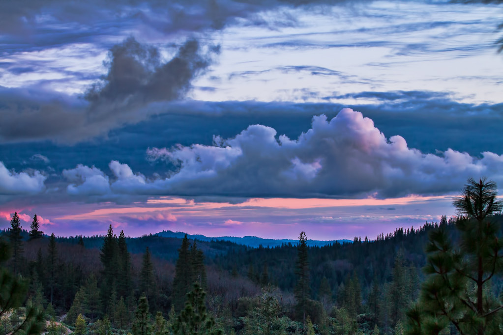
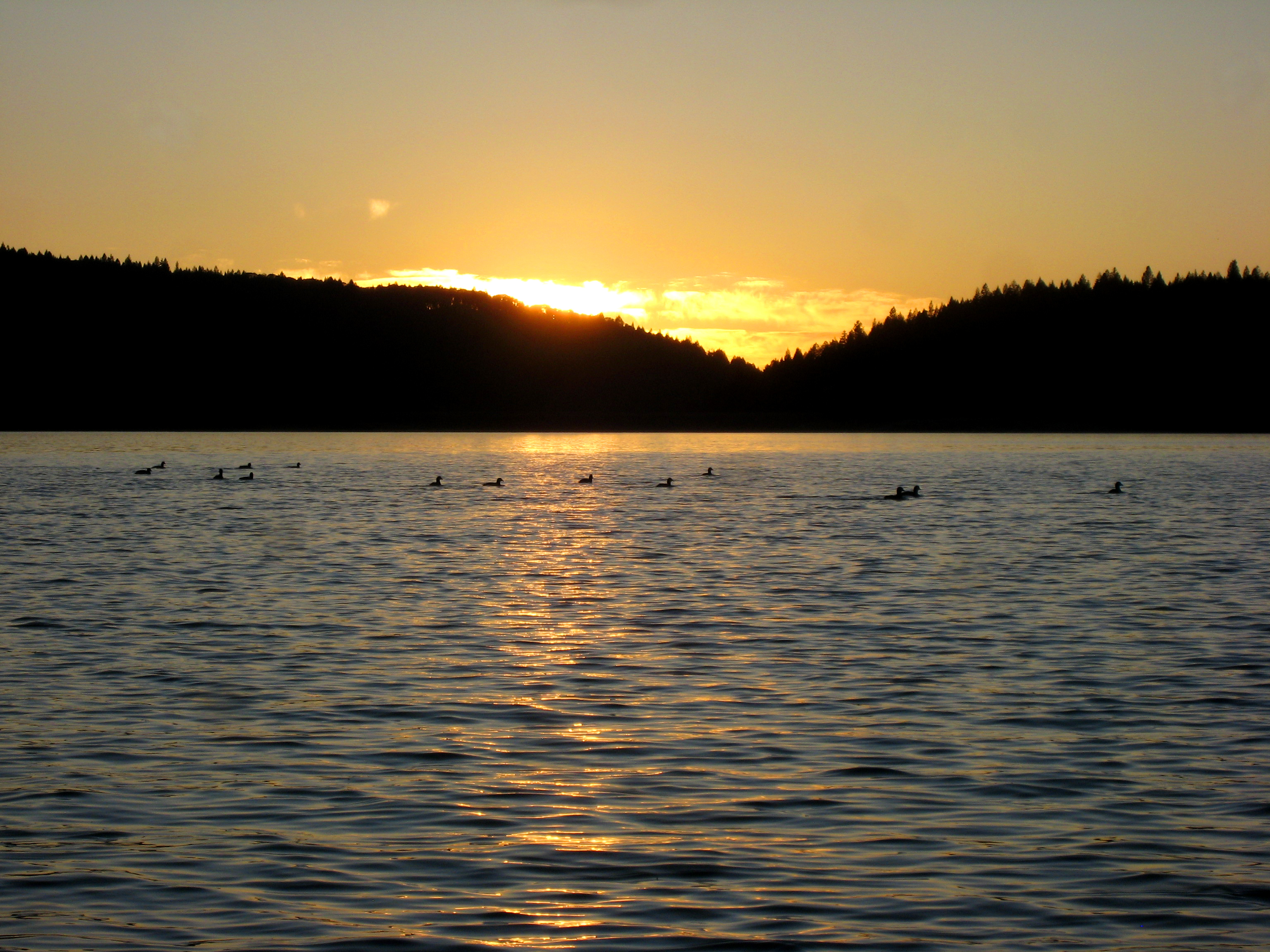
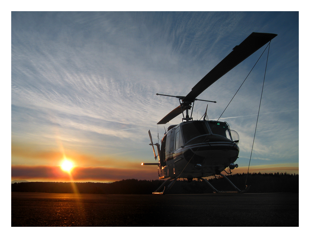
Sierra Sunset
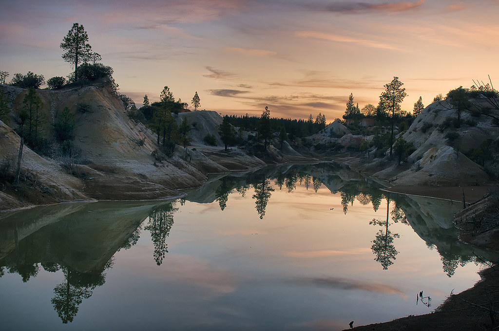
Hydraulic Mining Pit
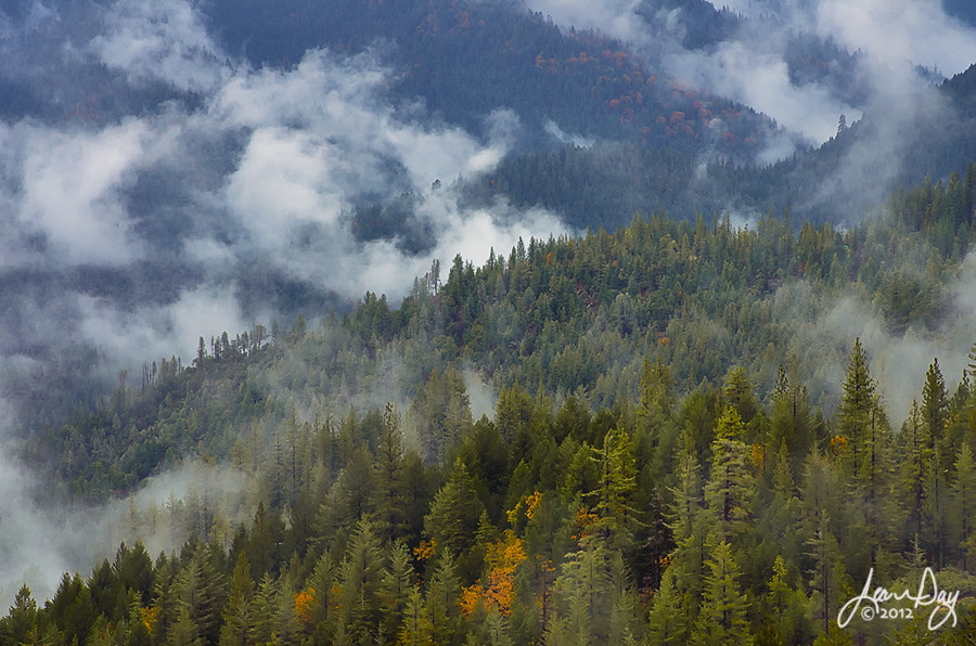
Between Rains
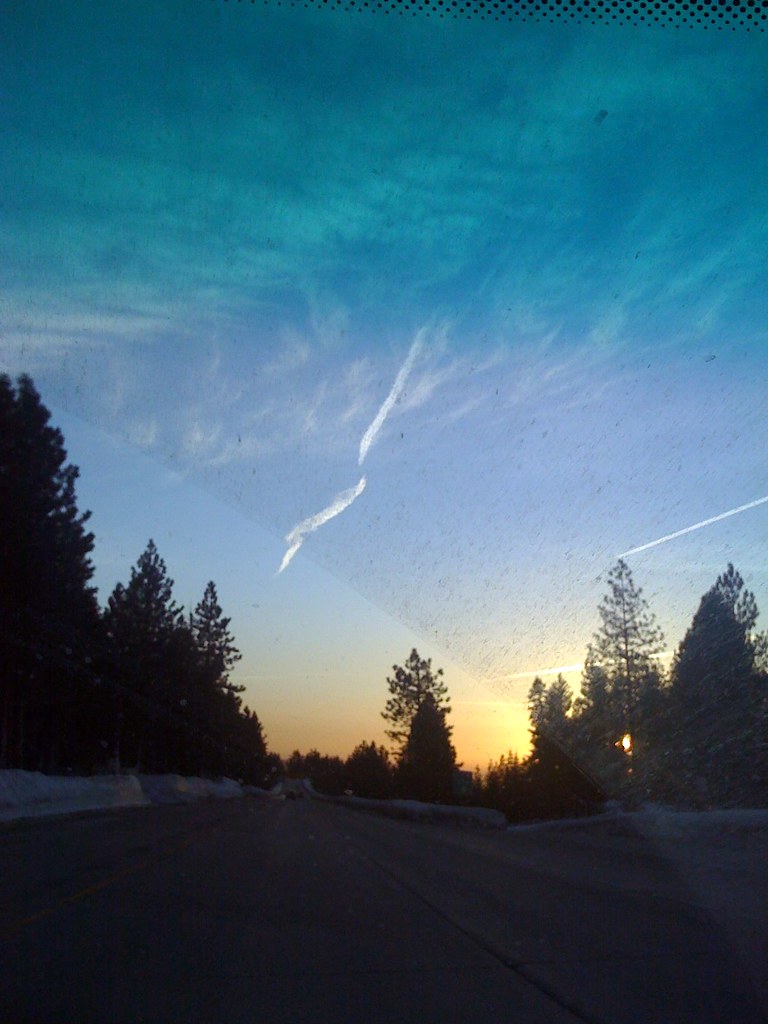
iphone - beautiful sunset, dirty car window
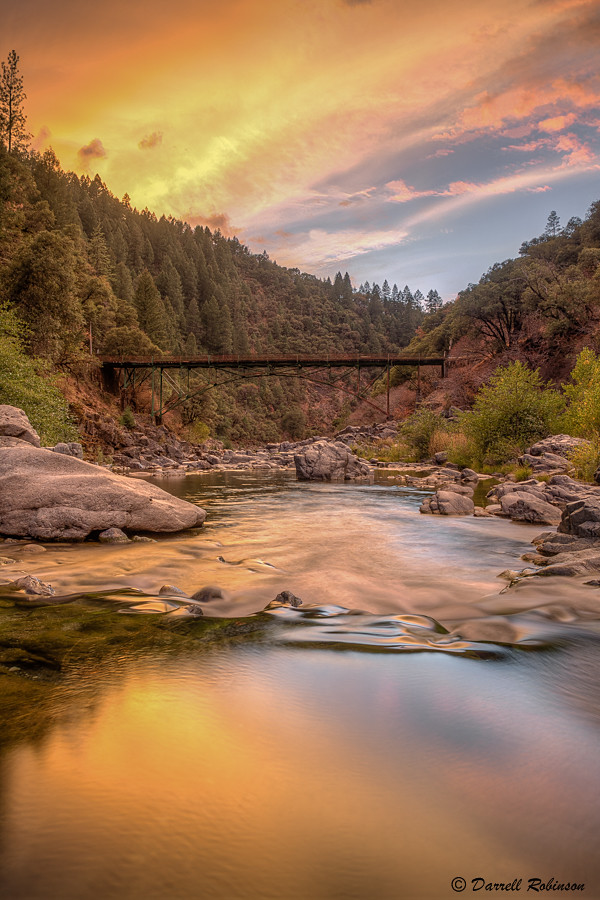
Sunset at Edwards Crossing
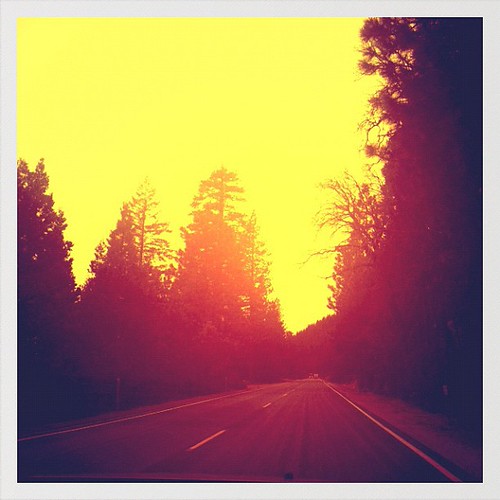
Driving on California 20. On my way to the #sierranevada #brewery. #roadtrip #beer #california #route20 #nature
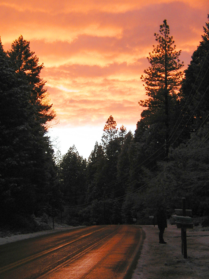
Christmas sunset
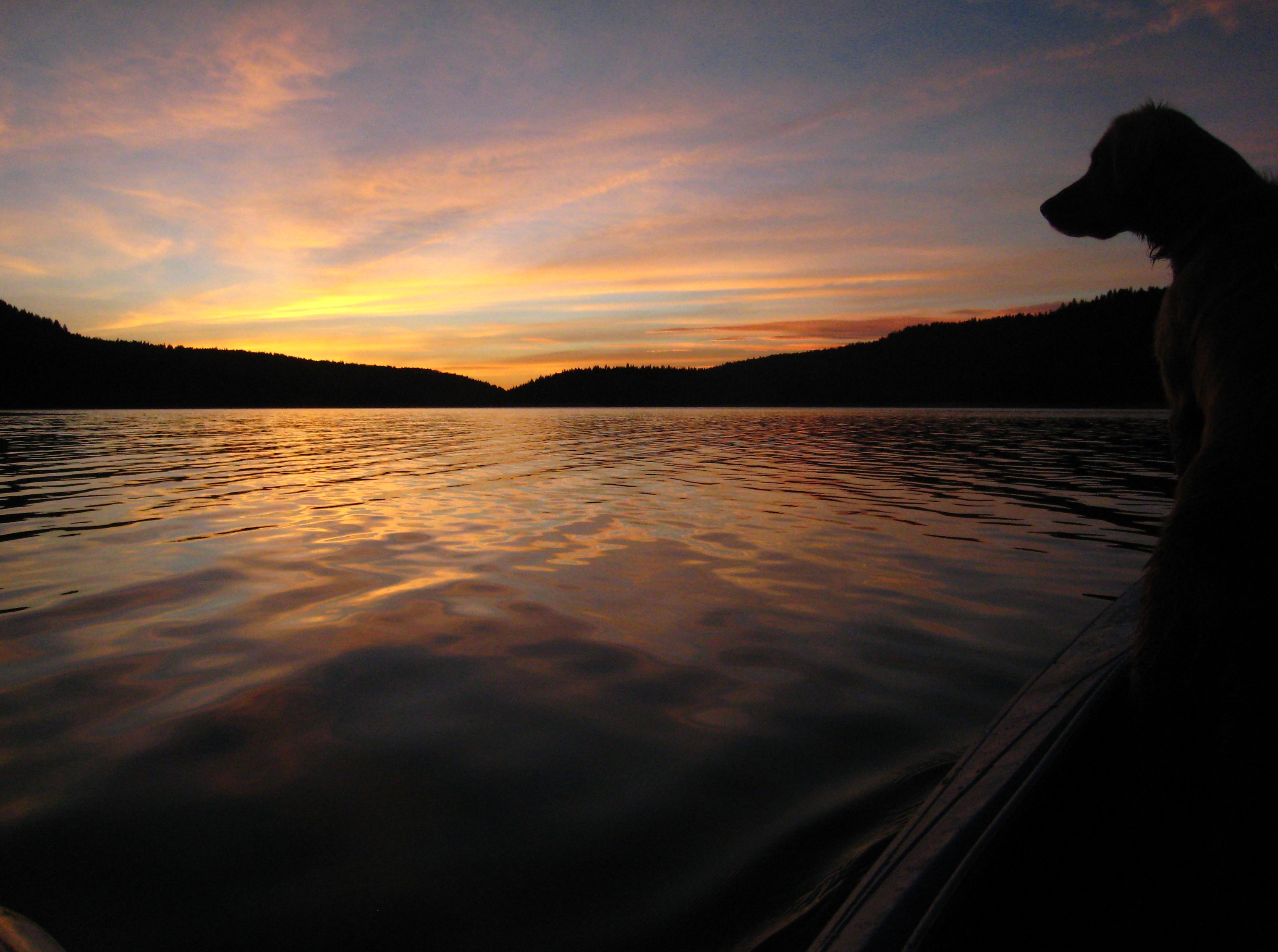
Ready to head for home

line of sight

Last Flash of Color
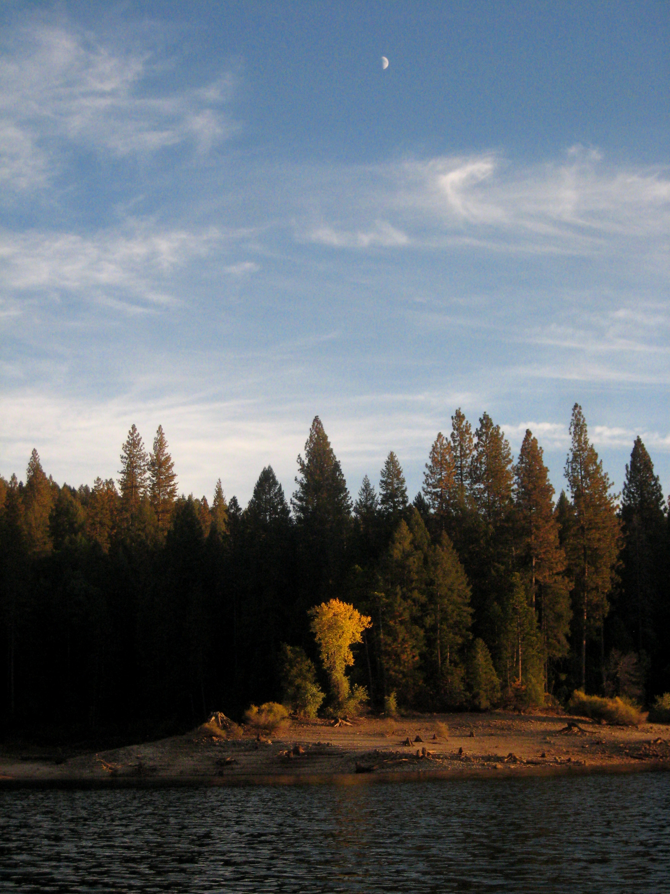
1/2 moon
November 1
Snowy Mountain Canal

California Sunset
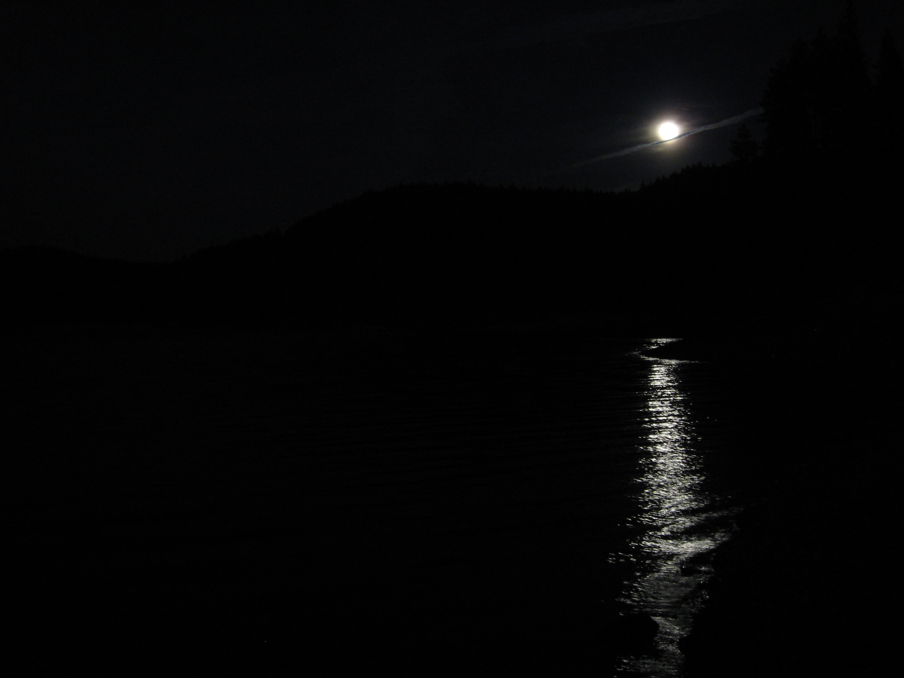
A slice of moon pie

theo the cicada

Dogwood sunrise 2
Sunrise H-514
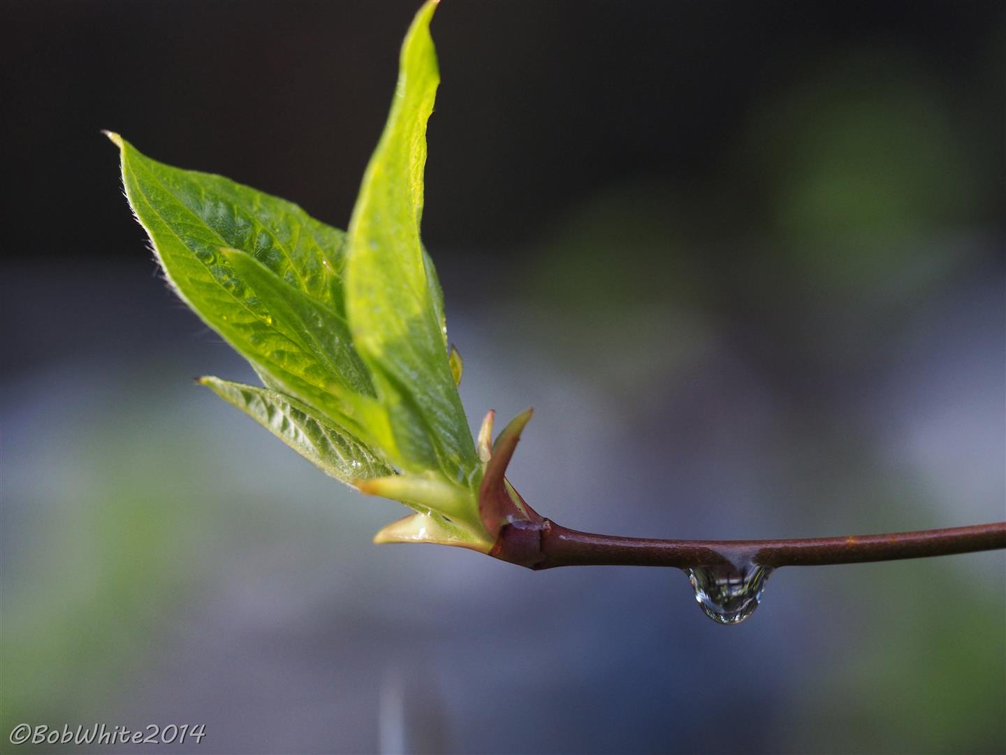
Dogwood sunrise 1

Dogwood sunrise 3
Relief Hill Rd, Nevada City, CA アメリカ合衆国の地図
別の場所を検索
近所の場所
Missouri Bar Trail, California アメリカ合衆国ミッスーリ・バー・トレイル
N Bloomfield Rd, Nevada City, CA アメリカ合衆国マラコフ・ディギンズ州立歴史公園
State Hwy 20, Nevada City, CA アメリカ合衆国
State Hwy 20, Nevada City, CA アメリカ合衆国
アメリカ合衆国 〒 カリフォルニア州 マラコフ・ディッギンズ
アメリカ合衆国 〒 カリフォルニア州 ワシントン
Sky Pines Ridge Rd, Nevada City, CA アメリカ合衆国
Banner Quaker Hill Rd, Nevada City, CA アメリカ合衆国
Old Gold Dr, Nevada City, CA アメリカ合衆国
Pine Needle Ln, Nevada City, CA アメリカ合衆国
Blue Gravel Rd, Nevada City, CA アメリカ合衆国
Myhrer Way, Nevada City, CA アメリカ合衆国
Casci Rd, Nevada City, CA アメリカ合衆国
アメリカ合衆国 〒 カリフォルニア州 スコッツ・フラット貯水池
Casci Rd, Nevada City, CA アメリカ合衆国
Lake Ln, Nevada City, CA アメリカ合衆国
Cascade Loop, Nevada City, CA アメリカ合衆国
アメリカ合衆国 〒 カリフォルニア州 カスケード・ショアーズ
Pasquale Rd, Nevada City, CA アメリカ合衆国
Pasquale Rd, Nevada City, CA アメリカ合衆国
最近の検索
- San Telmo, Buenos Aires, Argentina日の出日の入り時間
- Congressional Dr, Stevensville, MD, USA日の出日の入り時間
- ギリシャ 〒 04 パピンゴ日の出日の入り時間
- Kranto 7-oji g. 8"N, Kaunas, リトアニアPagonija rock日の出日の入り時間
- Co Rd 87, Jamestown, CO, USA日の出日の入り時間
- コロンビア クンディナマルカ テンホ日の出日の入り時間
- 日本、〒- 千葉県市原市五所1966−1日の出日の入り時間
- 日本 〒-日の出日の入り時間
- Co Rd A, Truth or Consequences, NM アメリカ合衆国スペースポート・アメリカ日の出日の入り時間
- アメリカ合衆国 〒 ロード・アイランド州 ウォーウィック日の出日の入り時間