Ralph Nesbit Rd, Awendaw, SC アメリカ合衆国日の出日の入り時間
Location: アメリカ合衆国 > サウス・カロライナ州 > チャールストン > アメリカ合衆国 〒 サウス・カロライナ州 アウェンダウ >
時間帯:
America/New_York
現地時間:
2024-05-02 00:40:11
経度:
-79.7053033
緯度:
32.926056
今日の日の出時刻:
06:29:25 AM
今日の日の入時刻:
08:02:01 PM
今日の日長:
13h 32m 36s
明日の日の出時刻:
06:28:29 AM
明日の日の入時刻:
08:02:45 PM
明日の日長:
13h 34m 16s
すべて表示する
| 日付 | 日出 | 日没 | 日長 |
|---|---|---|---|
| 2024年01月01日 | 07:21:37 AM | 05:23:33 PM | 10h 1m 56s |
| 2024年01月02日 | 07:21:48 AM | 05:24:18 PM | 10h 2m 30s |
| 2024年01月03日 | 07:21:57 AM | 05:25:04 PM | 10h 3m 7s |
| 2024年01月04日 | 07:22:04 AM | 05:25:51 PM | 10h 3m 47s |
| 2024年01月05日 | 07:22:10 AM | 05:26:39 PM | 10h 4m 29s |
| 2024年01月06日 | 07:22:13 AM | 05:27:28 PM | 10h 5m 15s |
| 2024年01月07日 | 07:22:15 AM | 05:28:17 PM | 10h 6m 2s |
| 2024年01月08日 | 07:22:15 AM | 05:29:08 PM | 10h 6m 53s |
| 2024年01月09日 | 07:22:13 AM | 05:29:59 PM | 10h 7m 46s |
| 2024年01月10日 | 07:22:10 AM | 05:30:51 PM | 10h 8m 41s |
| 2024年01月11日 | 07:22:04 AM | 05:31:44 PM | 10h 9m 40s |
| 2024年01月12日 | 07:21:57 AM | 05:32:37 PM | 10h 10m 40s |
| 2024年01月13日 | 07:21:48 AM | 05:33:31 PM | 10h 11m 43s |
| 2024年01月14日 | 07:21:37 AM | 05:34:25 PM | 10h 12m 48s |
| 2024年01月15日 | 07:21:25 AM | 05:35:19 PM | 10h 13m 54s |
| 2024年01月16日 | 07:21:10 AM | 05:36:15 PM | 10h 15m 5s |
| 2024年01月17日 | 07:20:54 AM | 05:37:10 PM | 10h 16m 16s |
| 2024年01月18日 | 07:20:36 AM | 05:38:06 PM | 10h 17m 30s |
| 2024年01月19日 | 07:20:17 AM | 05:39:02 PM | 10h 18m 45s |
| 2024年01月20日 | 07:19:55 AM | 05:39:59 PM | 10h 20m 4s |
| 2024年01月21日 | 07:19:32 AM | 05:40:55 PM | 10h 21m 23s |
| 2024年01月22日 | 07:19:07 AM | 05:41:52 PM | 10h 22m 45s |
| 2024年01月23日 | 07:18:41 AM | 05:42:49 PM | 10h 24m 8s |
| 2024年01月24日 | 07:18:12 AM | 05:43:46 PM | 10h 25m 34s |
| 2024年01月25日 | 07:17:42 AM | 05:44:43 PM | 10h 27m 1s |
| 2024年01月26日 | 07:17:11 AM | 05:45:40 PM | 10h 28m 29s |
| 2024年01月27日 | 07:16:38 AM | 05:46:38 PM | 10h 30m 0s |
| 2024年01月28日 | 07:16:03 AM | 05:47:35 PM | 10h 31m 32s |
| 2024年01月29日 | 07:15:26 AM | 05:48:32 PM | 10h 33m 6s |
| 2024年01月30日 | 07:14:48 AM | 05:49:29 PM | 10h 34m 41s |
| 2024年01月31日 | 07:14:09 AM | 05:50:26 PM | 10h 36m 17s |
| 2024年02月01日 | 07:13:28 AM | 05:51:23 PM | 10h 37m 55s |
| 2024年02月02日 | 07:12:45 AM | 05:52:20 PM | 10h 39m 35s |
| 2024年02月03日 | 07:12:01 AM | 05:53:16 PM | 10h 41m 15s |
| 2024年02月04日 | 07:11:16 AM | 05:54:13 PM | 10h 42m 57s |
| 2024年02月05日 | 07:10:29 AM | 05:55:09 PM | 10h 44m 40s |
| 2024年02月06日 | 07:09:41 AM | 05:56:05 PM | 10h 46m 24s |
| 2024年02月07日 | 07:08:52 AM | 05:57:01 PM | 10h 48m 9s |
| 2024年02月08日 | 07:08:01 AM | 05:57:56 PM | 10h 49m 55s |
| 2024年02月09日 | 07:07:09 AM | 05:58:51 PM | 10h 51m 42s |
| 2024年02月10日 | 07:06:15 AM | 05:59:46 PM | 10h 53m 31s |
| 2024年02月11日 | 07:05:21 AM | 06:00:41 PM | 10h 55m 20s |
| 2024年02月12日 | 07:04:25 AM | 06:01:35 PM | 10h 57m 10s |
| 2024年02月13日 | 07:03:28 AM | 06:02:29 PM | 10h 59m 1s |
| 2024年02月14日 | 07:02:30 AM | 06:03:22 PM | 11h 0m 52s |
| 2024年02月15日 | 07:01:30 AM | 06:04:16 PM | 11h 2m 46s |
| 2024年02月16日 | 07:00:30 AM | 06:05:09 PM | 11h 4m 39s |
| 2024年02月17日 | 06:59:29 AM | 06:06:01 PM | 11h 6m 32s |
| 2024年02月18日 | 06:58:26 AM | 06:06:53 PM | 11h 8m 27s |
| 2024年02月19日 | 06:57:23 AM | 06:07:45 PM | 11h 10m 22s |
| 2024年02月20日 | 06:56:18 AM | 06:08:37 PM | 11h 12m 19s |
| 2024年02月21日 | 06:55:13 AM | 06:09:28 PM | 11h 14m 15s |
| 2024年02月22日 | 06:54:07 AM | 06:10:19 PM | 11h 16m 12s |
| 2024年02月23日 | 06:53:00 AM | 06:11:09 PM | 11h 18m 9s |
| 2024年02月24日 | 06:51:52 AM | 06:11:59 PM | 11h 20m 7s |
| 2024年02月25日 | 06:50:43 AM | 06:12:49 PM | 11h 22m 6s |
| 2024年02月26日 | 06:49:33 AM | 06:13:38 PM | 11h 24m 5s |
| 2024年02月27日 | 06:48:23 AM | 06:14:27 PM | 11h 26m 4s |
| 2024年02月28日 | 06:47:12 AM | 06:15:16 PM | 11h 28m 4s |
| 2024年02月29日 | 06:46:00 AM | 06:16:05 PM | 11h 30m 5s |
| 2024年03月01日 | 06:44:48 AM | 06:16:53 PM | 11h 32m 5s |
| 2024年03月02日 | 06:43:35 AM | 06:17:40 PM | 11h 34m 5s |
| 2024年03月03日 | 06:42:21 AM | 06:18:28 PM | 11h 36m 7s |
| 2024年03月04日 | 06:41:07 AM | 06:19:15 PM | 11h 38m 8s |
| 2024年03月05日 | 06:39:52 AM | 06:20:02 PM | 11h 40m 10s |
| 2024年03月06日 | 06:38:37 AM | 06:20:48 PM | 11h 42m 11s |
| 2024年03月07日 | 06:37:22 AM | 06:21:34 PM | 11h 44m 12s |
| 2024年03月08日 | 06:36:05 AM | 06:22:20 PM | 11h 46m 15s |
| 2024年03月09日 | 06:34:49 AM | 06:23:06 PM | 11h 48m 17s |
| 2024年03月10日 | 07:33:35 AM | 07:23:50 PM | 11h 50m 15s |
| 2024年03月11日 | 07:32:18 AM | 07:24:35 PM | 11h 52m 17s |
| 2024年03月12日 | 07:31:00 AM | 07:25:20 PM | 11h 54m 20s |
| 2024年03月13日 | 07:29:42 AM | 07:26:05 PM | 11h 56m 23s |
| 2024年03月14日 | 07:28:24 AM | 07:26:49 PM | 11h 58m 25s |
| 2024年03月15日 | 07:27:06 AM | 07:27:34 PM | 12h 0m 28s |
| 2024年03月16日 | 07:25:47 AM | 07:28:18 PM | 12h 2m 31s |
| 2024年03月17日 | 07:24:28 AM | 07:29:02 PM | 12h 4m 34s |
| 2024年03月18日 | 07:23:09 AM | 07:29:46 PM | 12h 6m 37s |
| 2024年03月19日 | 07:21:50 AM | 07:30:29 PM | 12h 8m 39s |
| 2024年03月20日 | 07:20:31 AM | 07:31:13 PM | 12h 10m 42s |
| 2024年03月21日 | 07:19:11 AM | 07:31:56 PM | 12h 12m 45s |
| 2024年03月22日 | 07:17:52 AM | 07:32:40 PM | 12h 14m 48s |
| 2024年03月23日 | 07:16:33 AM | 07:33:23 PM | 12h 16m 50s |
| 2024年03月24日 | 07:15:13 AM | 07:34:06 PM | 12h 18m 53s |
| 2024年03月25日 | 07:13:54 AM | 07:34:49 PM | 12h 20m 55s |
| 2024年03月26日 | 07:12:35 AM | 07:35:32 PM | 12h 22m 57s |
| 2024年03月27日 | 07:11:16 AM | 07:36:15 PM | 12h 24m 59s |
| 2024年03月28日 | 07:09:57 AM | 07:36:58 PM | 12h 27m 1s |
| 2024年03月29日 | 07:08:38 AM | 07:37:41 PM | 12h 29m 3s |
| 2024年03月30日 | 07:07:19 AM | 07:38:23 PM | 12h 31m 4s |
| 2024年03月31日 | 07:06:01 AM | 07:39:06 PM | 12h 33m 5s |
| 2024年04月01日 | 07:04:43 AM | 07:39:49 PM | 12h 35m 6s |
| 2024年04月02日 | 07:03:25 AM | 07:40:32 PM | 12h 37m 7s |
| 2024年04月03日 | 07:02:07 AM | 07:41:15 PM | 12h 39m 8s |
| 2024年04月04日 | 07:00:50 AM | 07:41:57 PM | 12h 41m 7s |
| 2024年04月05日 | 06:59:33 AM | 07:42:40 PM | 12h 43m 7s |
| 2024年04月06日 | 06:58:17 AM | 07:43:23 PM | 12h 45m 6s |
| 2024年04月07日 | 06:57:01 AM | 07:44:06 PM | 12h 47m 5s |
| 2024年04月08日 | 06:55:45 AM | 07:44:49 PM | 12h 49m 4s |
| 2024年04月09日 | 06:54:30 AM | 07:45:32 PM | 12h 51m 2s |
| 2024年04月10日 | 06:53:15 AM | 07:46:15 PM | 12h 53m 0s |
| 2024年04月11日 | 06:52:01 AM | 07:46:59 PM | 12h 54m 58s |
| 2024年04月12日 | 06:50:48 AM | 07:47:42 PM | 12h 56m 54s |
| 2024年04月13日 | 06:49:35 AM | 07:48:25 PM | 12h 58m 50s |
| 2024年04月14日 | 06:48:22 AM | 07:49:09 PM | 13h 0m 47s |
| 2024年04月15日 | 06:47:11 AM | 07:49:52 PM | 13h 2m 41s |
| 2024年04月16日 | 06:46:00 AM | 07:50:36 PM | 13h 4m 36s |
| 2024年04月17日 | 06:44:49 AM | 07:51:19 PM | 13h 6m 30s |
| 2024年04月18日 | 06:43:40 AM | 07:52:03 PM | 13h 8m 23s |
| 2024年04月19日 | 06:42:31 AM | 07:52:47 PM | 13h 10m 16s |
| 2024年04月20日 | 06:41:23 AM | 07:53:31 PM | 13h 12m 8s |
| 2024年04月21日 | 06:40:16 AM | 07:54:15 PM | 13h 13m 59s |
| 2024年04月22日 | 06:39:09 AM | 07:54:59 PM | 13h 15m 50s |
| 2024年04月23日 | 06:38:03 AM | 07:55:43 PM | 13h 17m 40s |
| 2024年04月24日 | 06:36:59 AM | 07:56:27 PM | 13h 19m 28s |
| 2024年04月25日 | 06:35:55 AM | 07:57:12 PM | 13h 21m 17s |
| 2024年04月26日 | 06:34:52 AM | 07:57:56 PM | 13h 23m 4s |
| 2024年04月27日 | 06:33:50 AM | 07:58:40 PM | 13h 24m 50s |
| 2024年04月28日 | 06:32:49 AM | 07:59:25 PM | 13h 26m 36s |
| 2024年04月29日 | 06:31:50 AM | 08:00:09 PM | 13h 28m 19s |
| 2024年04月30日 | 06:30:51 AM | 08:00:54 PM | 13h 30m 3s |
| 2024年05月01日 | 06:29:53 AM | 08:01:38 PM | 13h 31m 45s |
| 2024年05月02日 | 06:28:57 AM | 08:02:23 PM | 13h 33m 26s |
| 2024年05月03日 | 06:28:01 AM | 08:03:07 PM | 13h 35m 6s |
| 2024年05月04日 | 06:27:07 AM | 08:03:52 PM | 13h 36m 45s |
| 2024年05月05日 | 06:26:13 AM | 08:04:36 PM | 13h 38m 23s |
| 2024年05月06日 | 06:25:21 AM | 08:05:21 PM | 13h 40m 0s |
| 2024年05月07日 | 06:24:31 AM | 08:06:05 PM | 13h 41m 34s |
| 2024年05月08日 | 06:23:41 AM | 08:06:49 PM | 13h 43m 8s |
| 2024年05月09日 | 06:22:53 AM | 08:07:33 PM | 13h 44m 40s |
| 2024年05月10日 | 06:22:06 AM | 08:08:17 PM | 13h 46m 11s |
| 2024年05月11日 | 06:21:20 AM | 08:09:01 PM | 13h 47m 41s |
| 2024年05月12日 | 06:20:36 AM | 08:09:44 PM | 13h 49m 8s |
| 2024年05月13日 | 06:19:53 AM | 08:10:28 PM | 13h 50m 35s |
| 2024年05月14日 | 06:19:11 AM | 08:11:11 PM | 13h 52m 0s |
| 2024年05月15日 | 06:18:31 AM | 08:11:54 PM | 13h 53m 23s |
| 2024年05月16日 | 06:17:52 AM | 08:12:36 PM | 13h 54m 44s |
| 2024年05月17日 | 06:17:14 AM | 08:13:19 PM | 13h 56m 5s |
| 2024年05月18日 | 06:16:38 AM | 08:14:01 PM | 13h 57m 23s |
| 2024年05月19日 | 06:16:04 AM | 08:14:42 PM | 13h 58m 38s |
| 2024年05月20日 | 06:15:31 AM | 08:15:24 PM | 13h 59m 53s |
| 2024年05月21日 | 06:14:59 AM | 08:16:04 PM | 14h 1m 5s |
| 2024年05月22日 | 06:14:29 AM | 08:16:45 PM | 14h 2m 16s |
| 2024年05月23日 | 06:14:00 AM | 08:17:25 PM | 14h 3m 25s |
| 2024年05月24日 | 06:13:33 AM | 08:18:04 PM | 14h 4m 31s |
| 2024年05月25日 | 06:13:07 AM | 08:18:43 PM | 14h 5m 36s |
| 2024年05月26日 | 06:12:43 AM | 08:19:21 PM | 14h 6m 38s |
| 2024年05月27日 | 06:12:21 AM | 08:19:59 PM | 14h 7m 38s |
| 2024年05月28日 | 06:11:59 AM | 08:20:36 PM | 14h 8m 37s |
| 2024年05月29日 | 06:11:40 AM | 08:21:12 PM | 14h 9m 32s |
| 2024年05月30日 | 06:11:22 AM | 08:21:48 PM | 14h 10m 26s |
| 2024年05月31日 | 06:11:06 AM | 08:22:22 PM | 14h 11m 16s |
| 2024年06月01日 | 06:10:51 AM | 08:22:56 PM | 14h 12m 5s |
| 2024年06月02日 | 06:10:37 AM | 08:23:30 PM | 14h 12m 53s |
| 2024年06月03日 | 06:10:26 AM | 08:24:02 PM | 14h 13m 36s |
| 2024年06月04日 | 06:10:15 AM | 08:24:34 PM | 14h 14m 19s |
| 2024年06月05日 | 06:10:07 AM | 08:25:04 PM | 14h 14m 57s |
| 2024年06月06日 | 06:10:00 AM | 08:25:34 PM | 14h 15m 34s |
| 2024年06月07日 | 06:09:54 AM | 08:26:03 PM | 14h 16m 9s |
| 2024年06月08日 | 06:09:50 AM | 08:26:30 PM | 14h 16m 40s |
| 2024年06月09日 | 06:09:47 AM | 08:26:57 PM | 14h 17m 10s |
| 2024年06月10日 | 06:09:46 AM | 08:27:22 PM | 14h 17m 36s |
| 2024年06月11日 | 06:09:47 AM | 08:27:47 PM | 14h 18m 0s |
| 2024年06月12日 | 06:09:49 AM | 08:28:10 PM | 14h 18m 21s |
| 2024年06月13日 | 06:09:52 AM | 08:28:32 PM | 14h 18m 40s |
| 2024年06月14日 | 06:09:57 AM | 08:28:53 PM | 14h 18m 56s |
| 2024年06月15日 | 06:10:03 AM | 08:29:12 PM | 14h 19m 9s |
| 2024年06月16日 | 06:10:11 AM | 08:29:31 PM | 14h 19m 20s |
| 2024年06月17日 | 06:10:20 AM | 08:29:48 PM | 14h 19m 28s |
| 2024年06月18日 | 06:10:30 AM | 08:30:04 PM | 14h 19m 34s |
| 2024年06月19日 | 06:10:42 AM | 08:30:18 PM | 14h 19m 36s |
| 2024年06月20日 | 06:10:55 AM | 08:30:31 PM | 14h 19m 36s |
| 2024年06月21日 | 06:11:10 AM | 08:30:43 PM | 14h 19m 33s |
| 2024年06月22日 | 06:11:25 AM | 08:30:53 PM | 14h 19m 28s |
| 2024年06月23日 | 06:11:42 AM | 08:31:02 PM | 14h 19m 20s |
| 2024年06月24日 | 06:12:00 AM | 08:31:09 PM | 14h 19m 9s |
| 2024年06月25日 | 06:12:20 AM | 08:31:15 PM | 14h 18m 55s |
| 2024年06月26日 | 06:12:40 AM | 08:31:19 PM | 14h 18m 39s |
| 2024年06月27日 | 06:13:02 AM | 08:31:22 PM | 14h 18m 20s |
| 2024年06月28日 | 06:13:25 AM | 08:31:23 PM | 14h 17m 58s |
| 2024年06月29日 | 06:13:48 AM | 08:31:23 PM | 14h 17m 35s |
| 2024年06月30日 | 06:14:13 AM | 08:31:21 PM | 14h 17m 8s |
| 2024年07月01日 | 06:14:39 AM | 08:31:18 PM | 14h 16m 39s |
| 2024年07月02日 | 06:15:06 AM | 08:31:13 PM | 14h 16m 7s |
| 2024年07月03日 | 06:15:34 AM | 08:31:07 PM | 14h 15m 33s |
| 2024年07月04日 | 06:16:03 AM | 08:30:59 PM | 14h 14m 56s |
| 2024年07月05日 | 06:16:32 AM | 08:30:49 PM | 14h 14m 17s |
| 2024年07月06日 | 06:17:03 AM | 08:30:38 PM | 14h 13m 35s |
| 2024年07月07日 | 06:17:34 AM | 08:30:25 PM | 14h 12m 51s |
| 2024年07月08日 | 06:18:06 AM | 08:30:11 PM | 14h 12m 5s |
| 2024年07月09日 | 06:18:39 AM | 08:29:55 PM | 14h 11m 16s |
| 2024年07月10日 | 06:19:12 AM | 08:29:37 PM | 14h 10m 25s |
| 2024年07月11日 | 06:19:46 AM | 08:29:18 PM | 14h 9m 32s |
| 2024年07月12日 | 06:20:21 AM | 08:28:57 PM | 14h 8m 36s |
| 2024年07月13日 | 06:20:56 AM | 08:28:35 PM | 14h 7m 39s |
| 2024年07月14日 | 06:21:32 AM | 08:28:11 PM | 14h 6m 39s |
| 2024年07月15日 | 06:22:09 AM | 08:27:46 PM | 14h 5m 37s |
| 2024年07月16日 | 06:22:46 AM | 08:27:19 PM | 14h 4m 33s |
| 2024年07月17日 | 06:23:23 AM | 08:26:50 PM | 14h 3m 27s |
| 2024年07月18日 | 06:24:01 AM | 08:26:20 PM | 14h 2m 19s |
| 2024年07月19日 | 06:24:40 AM | 08:25:49 PM | 14h 1m 9s |
| 2024年07月20日 | 06:25:18 AM | 08:25:16 PM | 13h 59m 58s |
| 2024年07月21日 | 06:25:57 AM | 08:24:41 PM | 13h 58m 44s |
| 2024年07月22日 | 06:26:37 AM | 08:24:05 PM | 13h 57m 28s |
| 2024年07月23日 | 06:27:17 AM | 08:23:27 PM | 13h 56m 10s |
| 2024年07月24日 | 06:27:57 AM | 08:22:48 PM | 13h 54m 51s |
| 2024年07月25日 | 06:28:37 AM | 08:22:08 PM | 13h 53m 31s |
| 2024年07月26日 | 06:29:17 AM | 08:21:26 PM | 13h 52m 9s |
| 2024年07月27日 | 06:29:58 AM | 08:20:43 PM | 13h 50m 45s |
| 2024年07月28日 | 06:30:39 AM | 08:19:58 PM | 13h 49m 19s |
| 2024年07月29日 | 06:31:20 AM | 08:19:12 PM | 13h 47m 52s |
| 2024年07月30日 | 06:32:01 AM | 08:18:25 PM | 13h 46m 24s |
| 2024年07月31日 | 06:32:42 AM | 08:17:36 PM | 13h 44m 54s |
| 2024年08月01日 | 06:33:23 AM | 08:16:46 PM | 13h 43m 23s |
| 2024年08月02日 | 06:34:04 AM | 08:15:55 PM | 13h 41m 51s |
| 2024年08月03日 | 06:34:46 AM | 08:15:02 PM | 13h 40m 16s |
| 2024年08月04日 | 06:35:27 AM | 08:14:09 PM | 13h 38m 42s |
| 2024年08月05日 | 06:36:08 AM | 08:13:14 PM | 13h 37m 6s |
| 2024年08月06日 | 06:36:50 AM | 08:12:17 PM | 13h 35m 27s |
| 2024年08月07日 | 06:37:31 AM | 08:11:20 PM | 13h 33m 49s |
| 2024年08月08日 | 06:38:12 AM | 08:10:22 PM | 13h 32m 10s |
| 2024年08月09日 | 06:38:54 AM | 08:09:22 PM | 13h 30m 28s |
| 2024年08月10日 | 06:39:35 AM | 08:08:22 PM | 13h 28m 47s |
| 2024年08月11日 | 06:40:16 AM | 08:07:20 PM | 13h 27m 4s |
| 2024年08月12日 | 06:40:57 AM | 08:06:17 PM | 13h 25m 20s |
| 2024年08月13日 | 06:41:38 AM | 08:05:14 PM | 13h 23m 36s |
| 2024年08月14日 | 06:42:19 AM | 08:04:09 PM | 13h 21m 50s |
| 2024年08月15日 | 06:43:00 AM | 08:03:03 PM | 13h 20m 3s |
| 2024年08月16日 | 06:43:41 AM | 08:01:57 PM | 13h 18m 16s |
| 2024年08月17日 | 06:44:21 AM | 08:00:49 PM | 13h 16m 28s |
| 2024年08月18日 | 06:45:02 AM | 07:59:41 PM | 13h 14m 39s |
| 2024年08月19日 | 06:45:42 AM | 07:58:32 PM | 13h 12m 50s |
| 2024年08月20日 | 06:46:22 AM | 07:57:22 PM | 13h 11m 0s |
| 2024年08月21日 | 06:47:03 AM | 07:56:11 PM | 13h 9m 8s |
| 2024年08月22日 | 06:47:43 AM | 07:55:00 PM | 13h 7m 17s |
| 2024年08月23日 | 06:48:23 AM | 07:53:47 PM | 13h 5m 24s |
| 2024年08月24日 | 06:49:02 AM | 07:52:34 PM | 13h 3m 32s |
| 2024年08月25日 | 06:49:42 AM | 07:51:21 PM | 13h 1m 39s |
| 2024年08月26日 | 06:50:22 AM | 07:50:06 PM | 12h 59m 44s |
| 2024年08月27日 | 06:51:01 AM | 07:48:51 PM | 12h 57m 50s |
| 2024年08月28日 | 06:51:40 AM | 07:47:36 PM | 12h 55m 56s |
| 2024年08月29日 | 06:52:20 AM | 07:46:20 PM | 12h 54m 0s |
| 2024年08月30日 | 06:52:59 AM | 07:45:03 PM | 12h 52m 4s |
| 2024年08月31日 | 06:53:38 AM | 07:43:46 PM | 12h 50m 8s |
| 2024年09月01日 | 06:54:17 AM | 07:42:28 PM | 12h 48m 11s |
| 2024年09月02日 | 06:54:56 AM | 07:41:10 PM | 12h 46m 14s |
| 2024年09月03日 | 06:55:35 AM | 07:39:51 PM | 12h 44m 16s |
| 2024年09月04日 | 06:56:13 AM | 07:38:32 PM | 12h 42m 19s |
| 2024年09月05日 | 06:56:52 AM | 07:37:13 PM | 12h 40m 21s |
| 2024年09月06日 | 06:57:31 AM | 07:35:53 PM | 12h 38m 22s |
| 2024年09月07日 | 06:58:09 AM | 07:34:33 PM | 12h 36m 24s |
| 2024年09月08日 | 06:58:48 AM | 07:33:13 PM | 12h 34m 25s |
| 2024年09月09日 | 06:59:27 AM | 07:31:52 PM | 12h 32m 25s |
| 2024年09月10日 | 07:00:05 AM | 07:30:31 PM | 12h 30m 26s |
| 2024年09月11日 | 07:00:44 AM | 07:29:10 PM | 12h 28m 26s |
| 2024年09月12日 | 07:01:23 AM | 07:27:49 PM | 12h 26m 26s |
| 2024年09月13日 | 07:02:01 AM | 07:26:28 PM | 12h 24m 27s |
| 2024年09月14日 | 07:02:40 AM | 07:25:06 PM | 12h 22m 26s |
| 2024年09月15日 | 07:03:19 AM | 07:23:44 PM | 12h 20m 25s |
| 2024年09月16日 | 07:03:57 AM | 07:22:23 PM | 12h 18m 26s |
| 2024年09月17日 | 07:04:36 AM | 07:21:01 PM | 12h 16m 25s |
| 2024年09月18日 | 07:05:15 AM | 07:19:39 PM | 12h 14m 24s |
| 2024年09月19日 | 07:05:54 AM | 07:18:18 PM | 12h 12m 24s |
| 2024年09月20日 | 07:06:33 AM | 07:16:56 PM | 12h 10m 23s |
| 2024年09月21日 | 07:07:13 AM | 07:15:34 PM | 12h 8m 21s |
| 2024年09月22日 | 07:07:52 AM | 07:14:13 PM | 12h 6m 21s |
| 2024年09月23日 | 07:08:32 AM | 07:12:51 PM | 12h 4m 19s |
| 2024年09月24日 | 07:09:11 AM | 07:11:30 PM | 12h 2m 19s |
| 2024年09月25日 | 07:09:51 AM | 07:10:09 PM | 12h 0m 18s |
| 2024年09月26日 | 07:10:31 AM | 07:08:48 PM | 11h 58m 17s |
| 2024年09月27日 | 07:11:12 AM | 07:07:28 PM | 11h 56m 16s |
| 2024年09月28日 | 07:11:52 AM | 07:06:07 PM | 11h 54m 15s |
| 2024年09月29日 | 07:12:33 AM | 07:04:47 PM | 11h 52m 14s |
| 2024年09月30日 | 07:13:14 AM | 07:03:27 PM | 11h 50m 13s |
| 2024年10月01日 | 07:13:55 AM | 07:02:08 PM | 11h 48m 13s |
| 2024年10月02日 | 07:14:37 AM | 07:00:49 PM | 11h 46m 12s |
| 2024年10月03日 | 07:15:18 AM | 06:59:31 PM | 11h 44m 13s |
| 2024年10月04日 | 07:16:00 AM | 06:58:12 PM | 11h 42m 12s |
| 2024年10月05日 | 07:16:43 AM | 06:56:55 PM | 11h 40m 12s |
| 2024年10月06日 | 07:17:25 AM | 06:55:38 PM | 11h 38m 13s |
| 2024年10月07日 | 07:18:08 AM | 06:54:21 PM | 11h 36m 13s |
| 2024年10月08日 | 07:18:51 AM | 06:53:05 PM | 11h 34m 14s |
| 2024年10月09日 | 07:19:35 AM | 06:51:50 PM | 11h 32m 15s |
| 2024年10月10日 | 07:20:19 AM | 06:50:35 PM | 11h 30m 16s |
| 2024年10月11日 | 07:21:03 AM | 06:49:21 PM | 11h 28m 18s |
| 2024年10月12日 | 07:21:48 AM | 06:48:07 PM | 11h 26m 19s |
| 2024年10月13日 | 07:22:33 AM | 06:46:54 PM | 11h 24m 21s |
| 2024年10月14日 | 07:23:18 AM | 06:45:42 PM | 11h 22m 24s |
| 2024年10月15日 | 07:24:03 AM | 06:44:31 PM | 11h 20m 28s |
| 2024年10月16日 | 07:24:50 AM | 06:43:21 PM | 11h 18m 31s |
| 2024年10月17日 | 07:25:36 AM | 06:42:11 PM | 11h 16m 35s |
| 2024年10月18日 | 07:26:23 AM | 06:41:02 PM | 11h 14m 39s |
| 2024年10月19日 | 07:27:10 AM | 06:39:54 PM | 11h 12m 44s |
| 2024年10月20日 | 07:27:57 AM | 06:38:48 PM | 11h 10m 51s |
| 2024年10月21日 | 07:28:45 AM | 06:37:42 PM | 11h 8m 57s |
| 2024年10月22日 | 07:29:34 AM | 06:36:37 PM | 11h 7m 3s |
| 2024年10月23日 | 07:30:22 AM | 06:35:33 PM | 11h 5m 11s |
| 2024年10月24日 | 07:31:12 AM | 06:34:30 PM | 11h 3m 18s |
| 2024年10月25日 | 07:32:01 AM | 06:33:28 PM | 11h 1m 27s |
| 2024年10月26日 | 07:32:51 AM | 06:32:27 PM | 10h 59m 36s |
| 2024年10月27日 | 07:33:41 AM | 06:31:27 PM | 10h 57m 46s |
| 2024年10月28日 | 07:34:32 AM | 06:30:29 PM | 10h 55m 57s |
| 2024年10月29日 | 07:35:23 AM | 06:29:32 PM | 10h 54m 9s |
| 2024年10月30日 | 07:36:14 AM | 06:28:36 PM | 10h 52m 22s |
| 2024年10月31日 | 07:37:05 AM | 06:27:41 PM | 10h 50m 36s |
| 2024年11月01日 | 07:37:57 AM | 06:26:47 PM | 10h 48m 50s |
| 2024年11月02日 | 07:38:50 AM | 06:25:55 PM | 10h 47m 5s |
| 2024年11月03日 | 06:39:44 AM | 05:25:02 PM | 10h 45m 18s |
| 2024年11月04日 | 06:40:37 AM | 05:24:13 PM | 10h 43m 36s |
| 2024年11月05日 | 06:41:30 AM | 05:23:25 PM | 10h 41m 55s |
| 2024年11月06日 | 06:42:24 AM | 05:22:38 PM | 10h 40m 14s |
| 2024年11月07日 | 06:43:17 AM | 05:21:53 PM | 10h 38m 36s |
| 2024年11月08日 | 06:44:11 AM | 05:21:10 PM | 10h 36m 59s |
| 2024年11月09日 | 06:45:05 AM | 05:20:27 PM | 10h 35m 22s |
| 2024年11月10日 | 06:45:59 AM | 05:19:47 PM | 10h 33m 48s |
| 2024年11月11日 | 06:46:53 AM | 05:19:08 PM | 10h 32m 15s |
| 2024年11月12日 | 06:47:48 AM | 05:18:30 PM | 10h 30m 42s |
| 2024年11月13日 | 06:48:42 AM | 05:17:54 PM | 10h 29m 12s |
| 2024年11月14日 | 06:49:37 AM | 05:17:20 PM | 10h 27m 43s |
| 2024年11月15日 | 06:50:31 AM | 05:16:48 PM | 10h 26m 17s |
| 2024年11月16日 | 06:51:26 AM | 05:16:17 PM | 10h 24m 51s |
| 2024年11月17日 | 06:52:20 AM | 05:15:47 PM | 10h 23m 27s |
| 2024年11月18日 | 06:53:15 AM | 05:15:20 PM | 10h 22m 5s |
| 2024年11月19日 | 06:54:09 AM | 05:14:54 PM | 10h 20m 45s |
| 2024年11月20日 | 06:55:03 AM | 05:14:30 PM | 10h 19m 27s |
| 2024年11月21日 | 06:55:58 AM | 05:14:08 PM | 10h 18m 10s |
| 2024年11月22日 | 06:56:51 AM | 05:13:47 PM | 10h 16m 56s |
| 2024年11月23日 | 06:57:45 AM | 05:13:29 PM | 10h 15m 44s |
| 2024年11月24日 | 06:58:38 AM | 05:13:12 PM | 10h 14m 34s |
| 2024年11月25日 | 06:59:31 AM | 05:12:57 PM | 10h 13m 26s |
| 2024年11月26日 | 07:00:24 AM | 05:12:43 PM | 10h 12m 19s |
| 2024年11月27日 | 07:01:16 AM | 05:12:32 PM | 10h 11m 16s |
| 2024年11月28日 | 07:02:08 AM | 05:12:22 PM | 10h 10m 14s |
| 2024年11月29日 | 07:02:59 AM | 05:12:15 PM | 10h 9m 16s |
| 2024年11月30日 | 07:03:50 AM | 05:12:09 PM | 10h 8m 19s |
| 2024年12月01日 | 07:04:40 AM | 05:12:05 PM | 10h 7m 25s |
| 2024年12月02日 | 07:05:30 AM | 05:12:03 PM | 10h 6m 33s |
| 2024年12月03日 | 07:06:19 AM | 05:12:02 PM | 10h 5m 43s |
| 2024年12月04日 | 07:07:07 AM | 05:12:04 PM | 10h 4m 57s |
| 2024年12月05日 | 07:07:54 AM | 05:12:07 PM | 10h 4m 13s |
| 2024年12月06日 | 07:08:41 AM | 05:12:12 PM | 10h 3m 31s |
| 2024年12月07日 | 07:09:26 AM | 05:12:19 PM | 10h 2m 53s |
| 2024年12月08日 | 07:10:11 AM | 05:12:28 PM | 10h 2m 17s |
| 2024年12月09日 | 07:10:55 AM | 05:12:39 PM | 10h 1m 44s |
| 2024年12月10日 | 07:11:38 AM | 05:12:51 PM | 10h 1m 13s |
| 2024年12月11日 | 07:12:20 AM | 05:13:05 PM | 10h 0m 45s |
| 2024年12月12日 | 07:13:00 AM | 05:13:21 PM | 10h 0m 21s |
| 2024年12月13日 | 07:13:40 AM | 05:13:39 PM | 9h 59m 59s |
| 2024年12月14日 | 07:14:18 AM | 05:13:58 PM | 9h 59m 40s |
| 2024年12月15日 | 07:14:55 AM | 05:14:19 PM | 9h 59m 24s |
| 2024年12月16日 | 07:15:31 AM | 05:14:42 PM | 9h 59m 11s |
| 2024年12月17日 | 07:16:06 AM | 05:15:07 PM | 9h 59m 1s |
| 2024年12月18日 | 07:16:39 AM | 05:15:33 PM | 9h 58m 54s |
| 2024年12月19日 | 07:17:11 AM | 05:16:00 PM | 9h 58m 49s |
| 2024年12月20日 | 07:17:41 AM | 05:16:29 PM | 9h 58m 48s |
| 2024年12月21日 | 07:18:10 AM | 05:17:00 PM | 9h 58m 50s |
| 2024年12月22日 | 07:18:38 AM | 05:17:32 PM | 9h 58m 54s |
| 2024年12月23日 | 07:19:04 AM | 05:18:06 PM | 9h 59m 2s |
| 2024年12月24日 | 07:19:28 AM | 05:18:41 PM | 9h 59m 13s |
| 2024年12月25日 | 07:19:51 AM | 05:19:17 PM | 9h 59m 26s |
| 2024年12月26日 | 07:20:13 AM | 05:19:55 PM | 9h 59m 42s |
| 2024年12月27日 | 07:20:32 AM | 05:20:34 PM | 10h 0m 2s |
| 2024年12月28日 | 07:20:50 AM | 05:21:14 PM | 10h 0m 24s |
| 2024年12月29日 | 07:21:07 AM | 05:21:55 PM | 10h 0m 48s |
| 2024年12月30日 | 07:21:21 AM | 05:22:38 PM | 10h 1m 17s |
写真
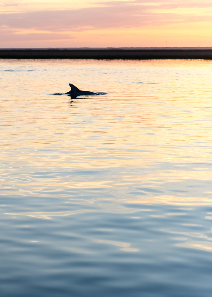
Dolphin Sunset - Bull Island 7/100 2017 Taken with the Sony a7ii.
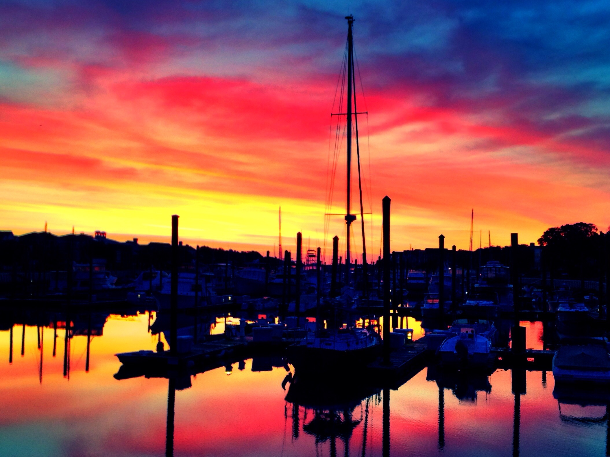
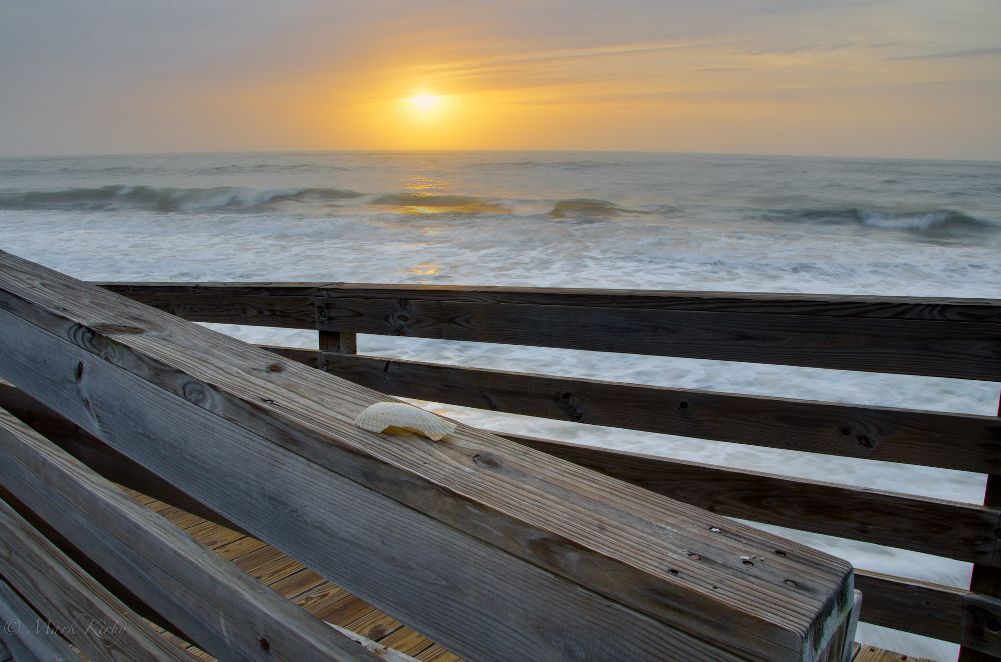
Predawn on Dock A
glowing ripples

Dead Silhouettes
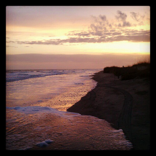
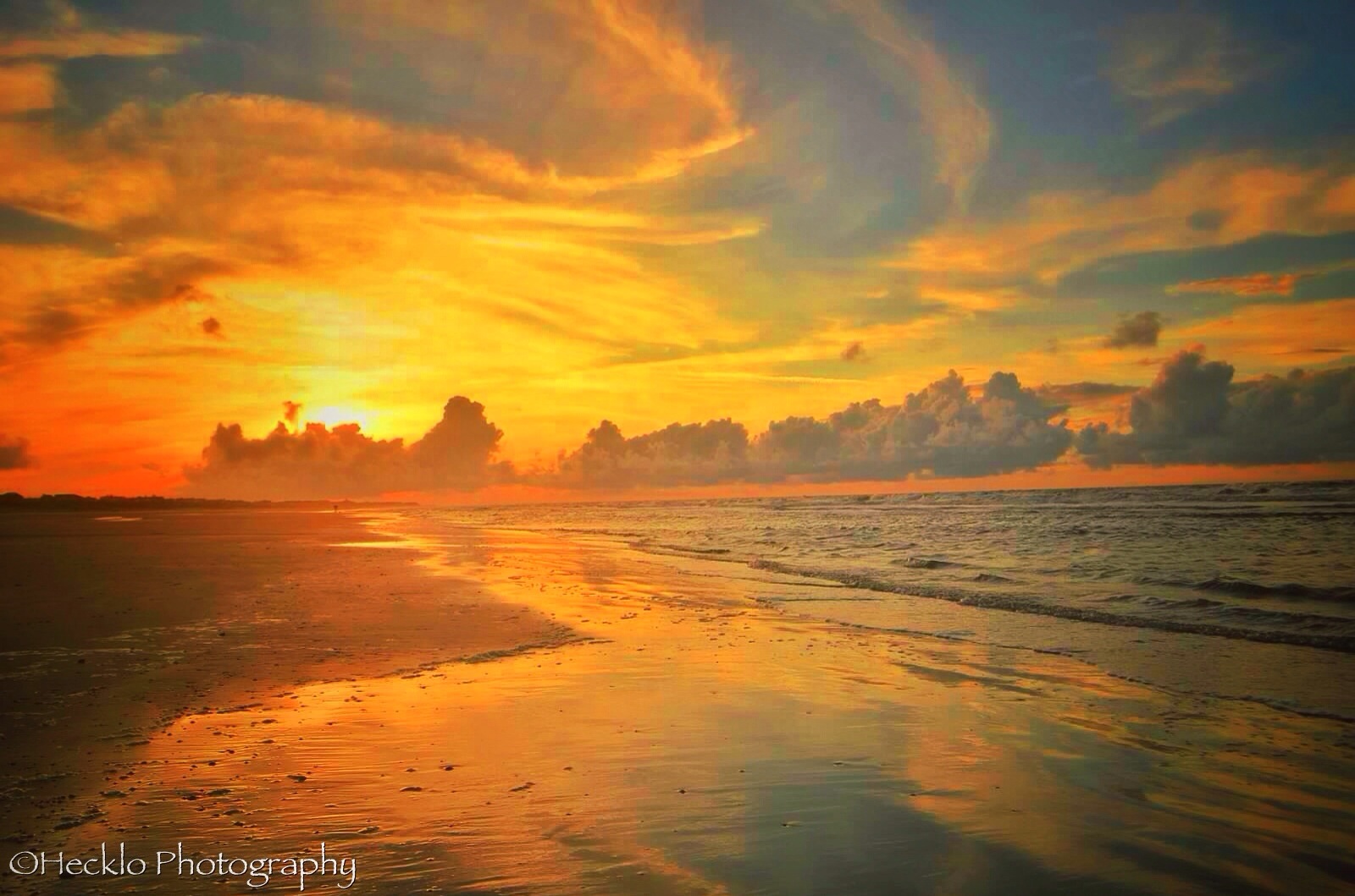
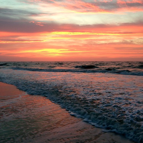
Folly Beach_20110316_Sunset 3
Folly Beach_20110316_Sunset and barge
Soft breeze
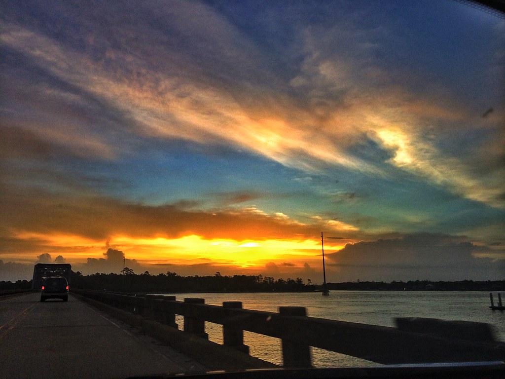
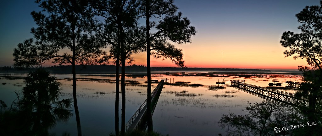
Wando River Bridge

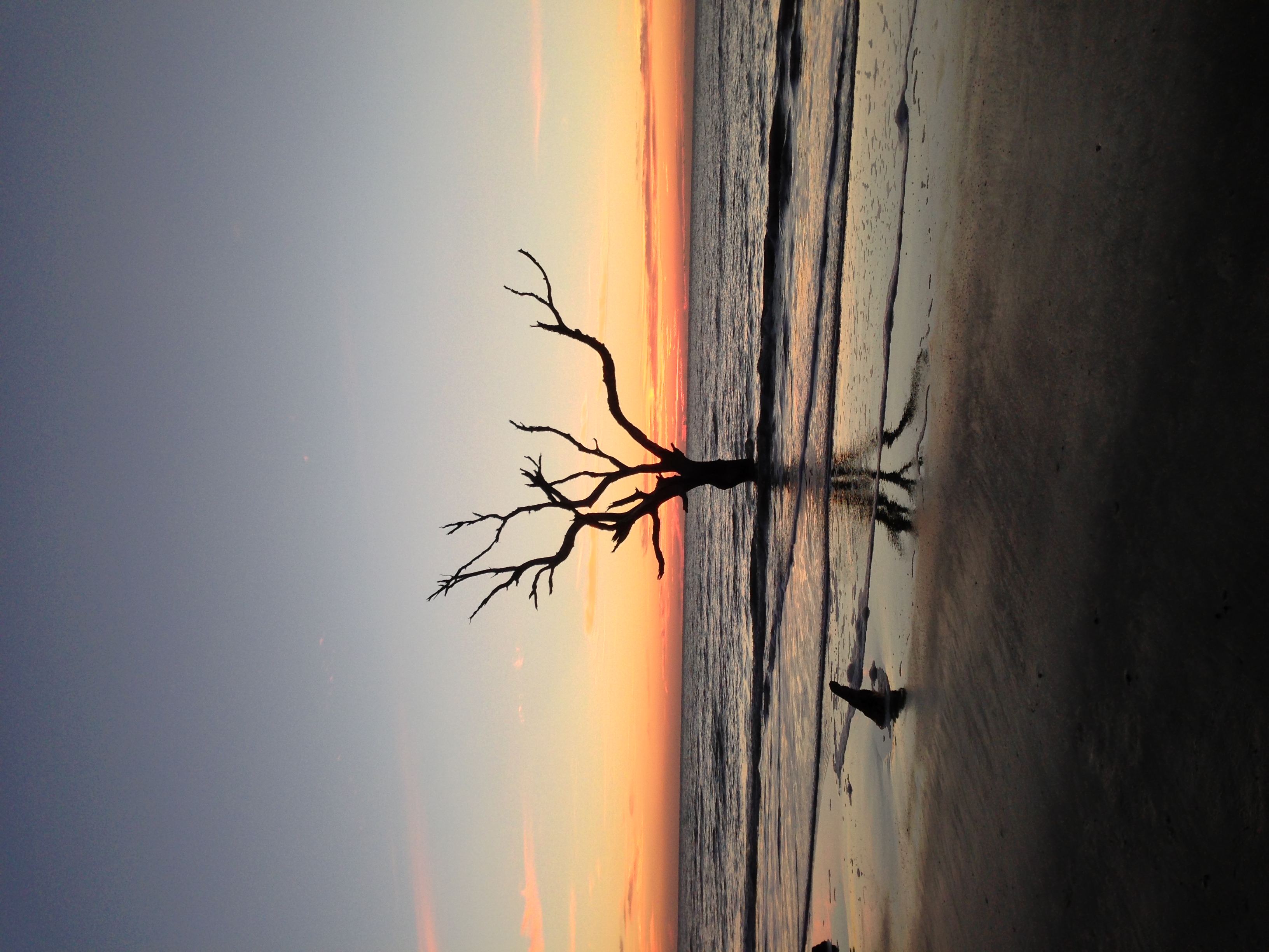
Venus over Boneyard
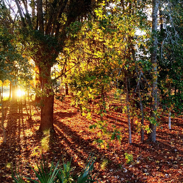
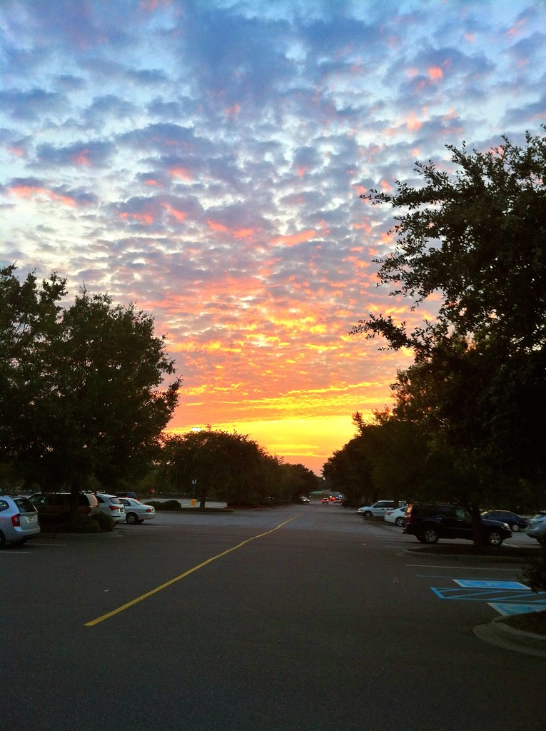
Sunset in Mt. Pleasant, SC
Set 2.
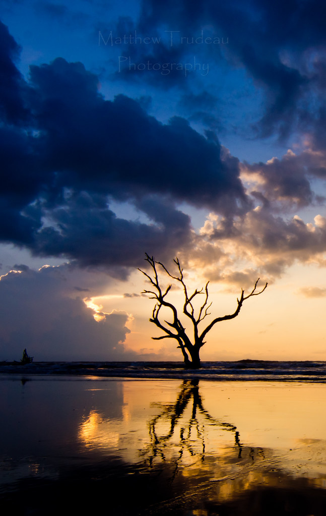
Bonyard Beach
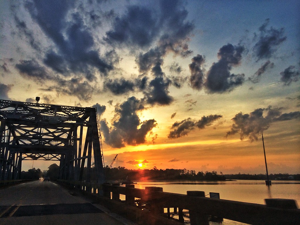
Wando River Bridge
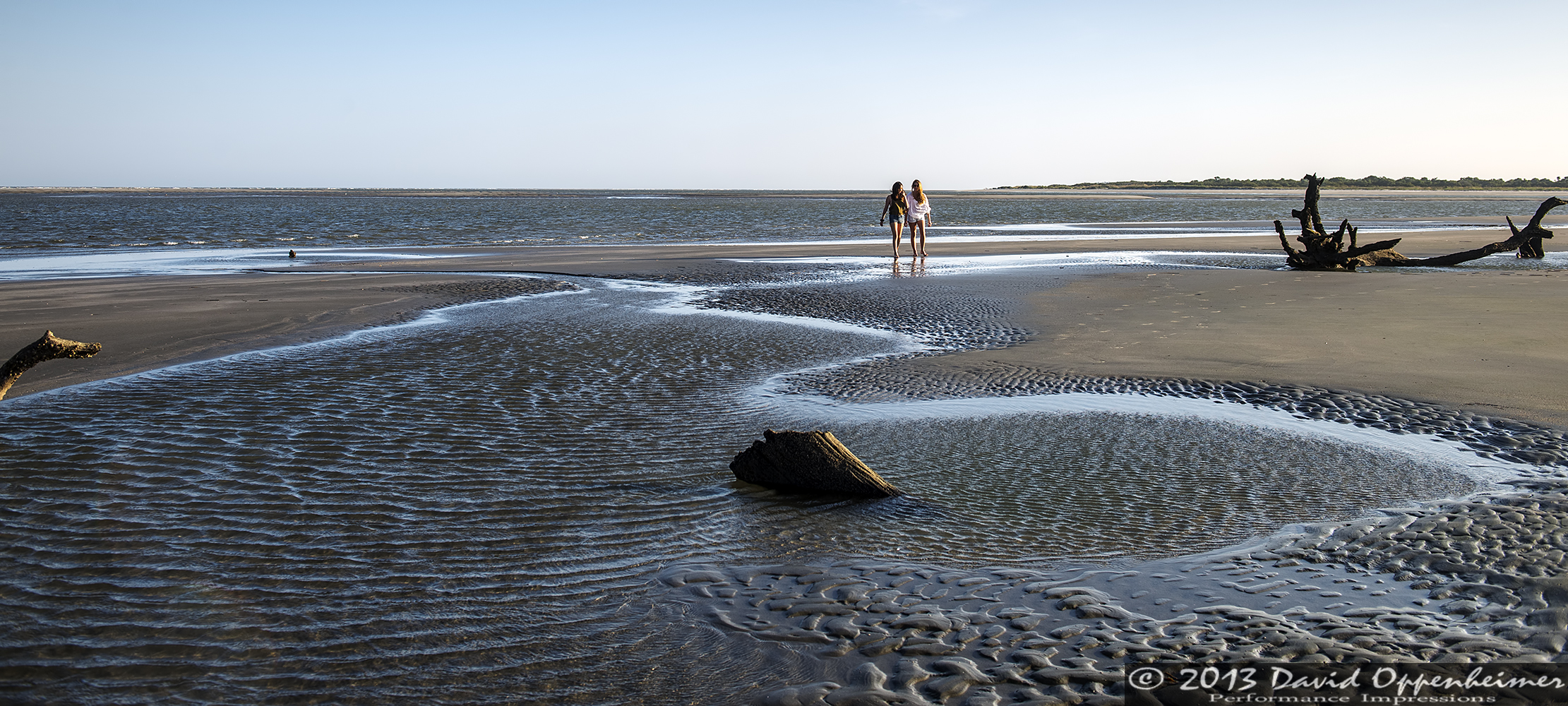
Capers Island State Heritage Preserve
Wando River Bridge
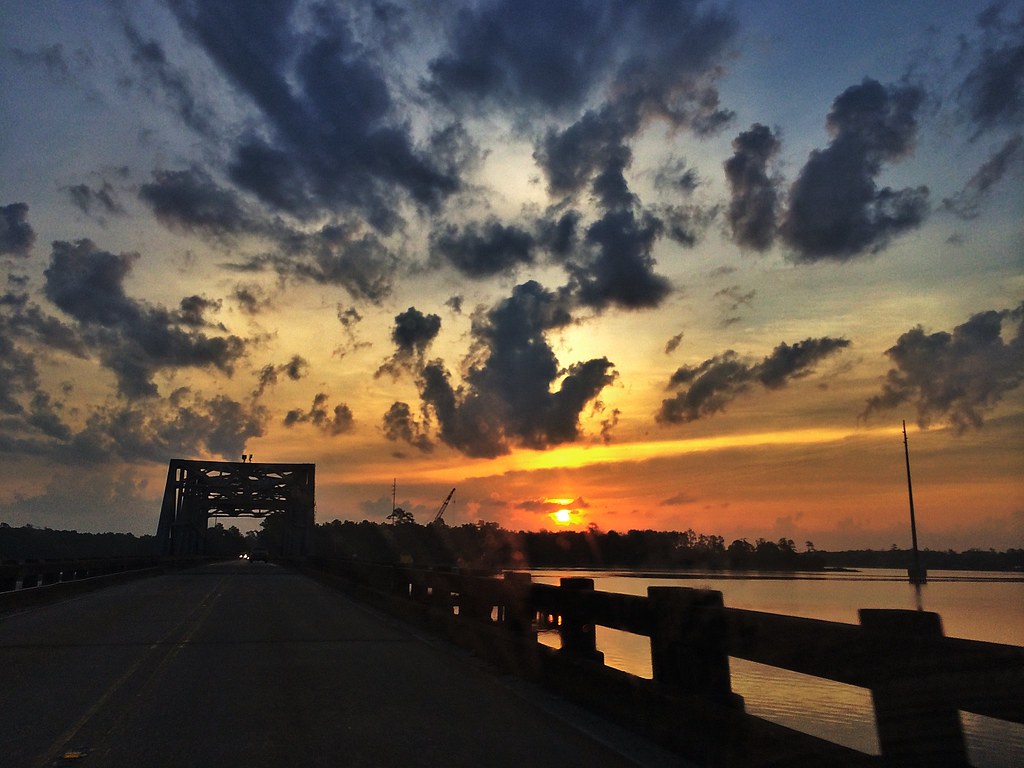
Wando River Bridge
361/365

Isle of Palms. SC
Set.
#Sunset #trees #latergram

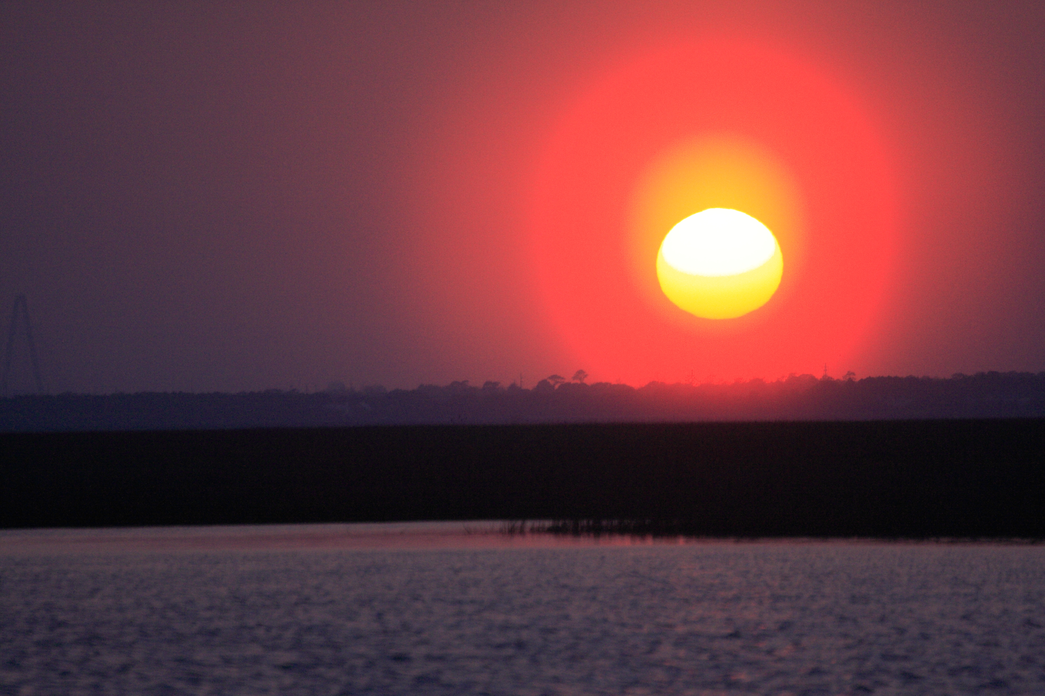
Sunrise in Mt. Pleasant
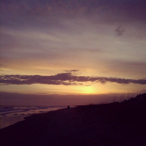
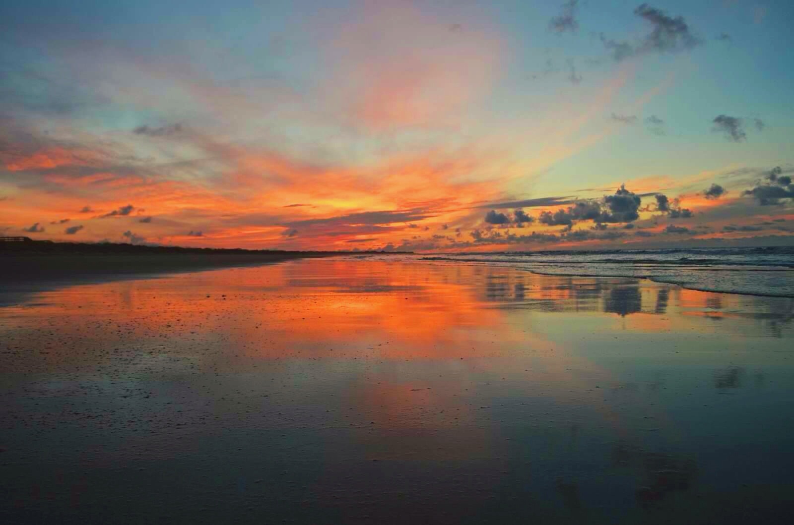
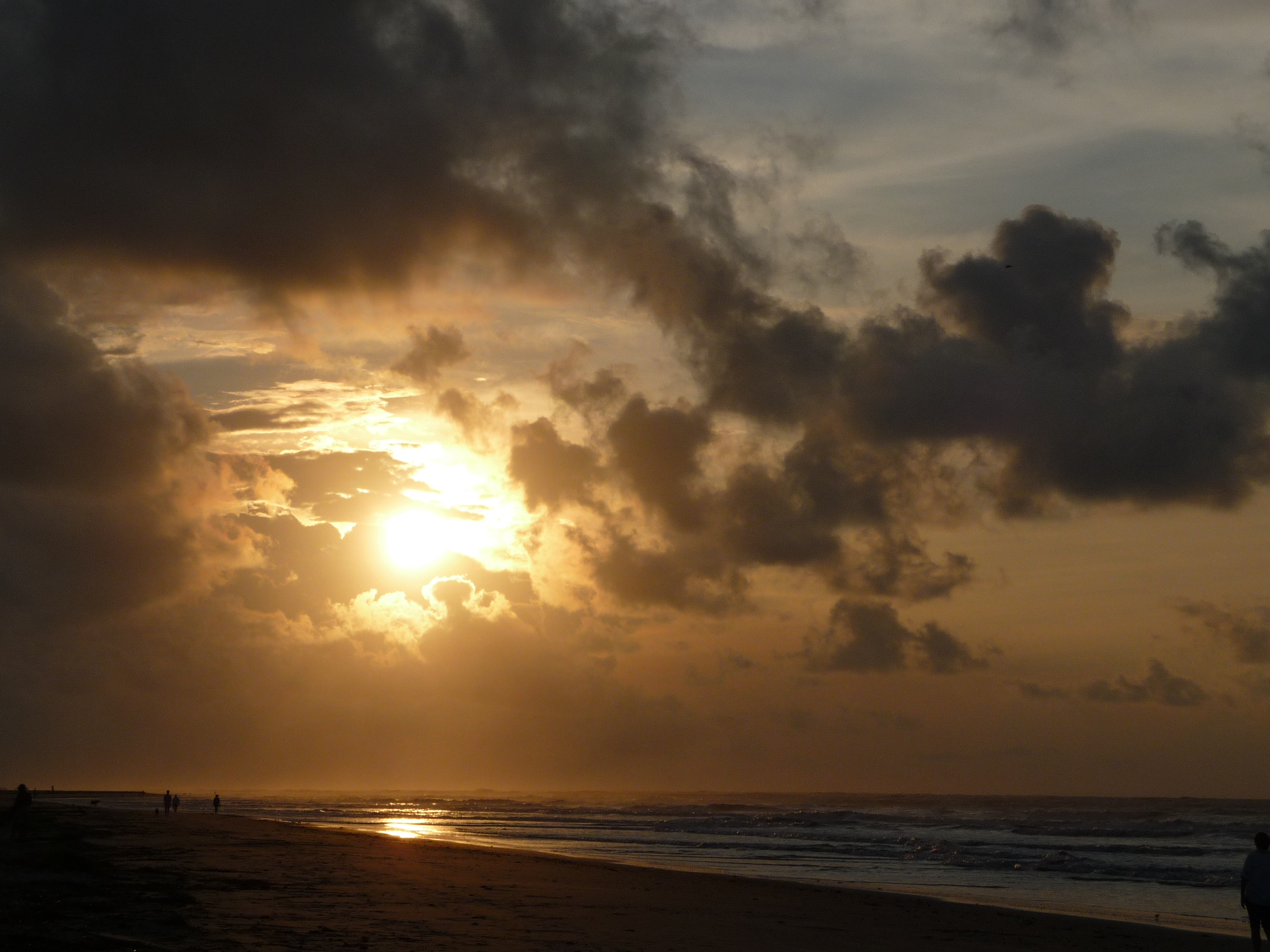
Isle of Palms Stormy Beach
Bull Island 2/100 2017 Taken with the Sony a7ii. Topic 6: What belongs to tree but is not green? It's Trunk

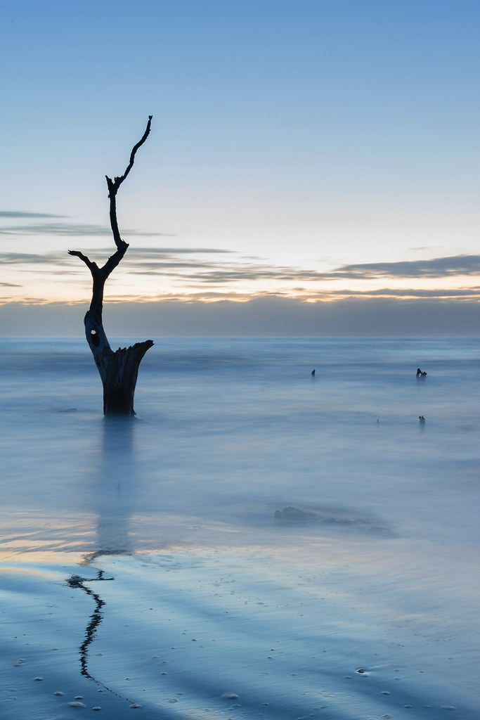
Boneyard Beach2
Isle of Palms Sunrise

Isle of Palms Sunrise 2
Isle of Palms Sunrise 1
Sunrise over the Isle of Palms
Isle of Palms Sunrise

Morning Marsh-075901 (on explore 9/28/2013)
Sunrise on New Year's Day
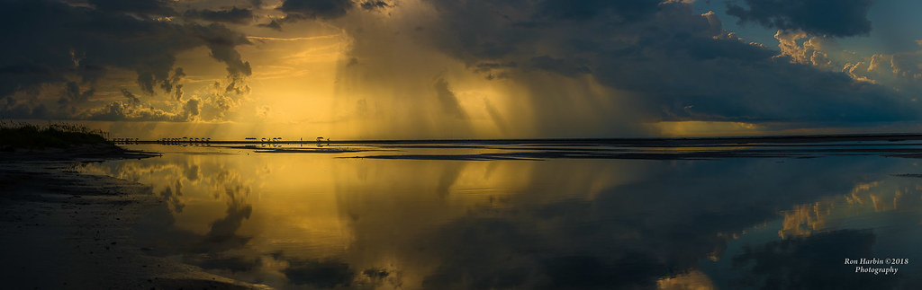
Wando Panoramic
Isle of Palms Sunrise

#DiscGolf #Sunrise @bashmore17
Isle of Palms Sunrise 4
Bulls Island Sunrise
Sunset in Mt. Pleasant
Not quite a red sky, but this sunrise and the wind do portend excellent waves today. \o/
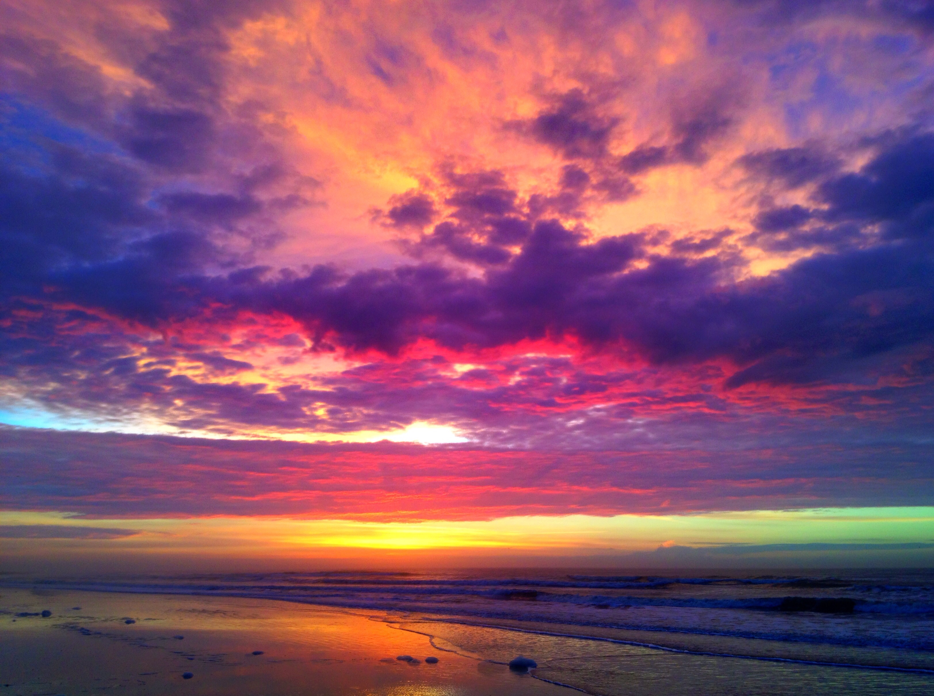
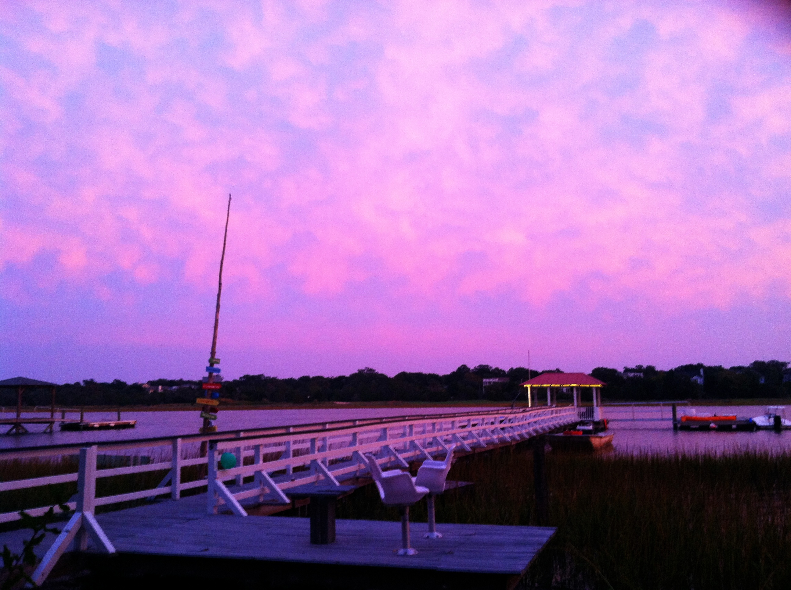
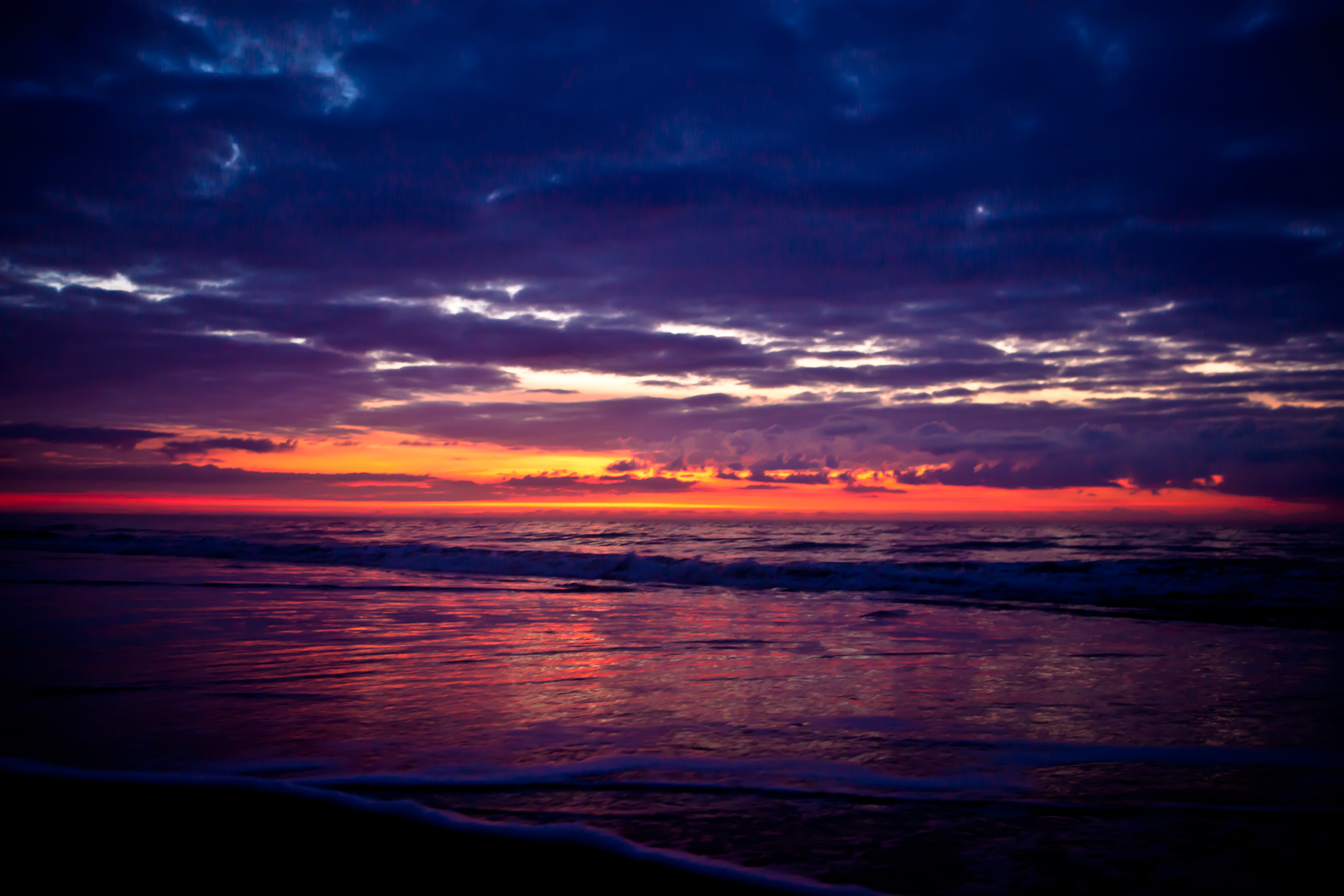
Purple Haze
Ralph Nesbit Rd, Awendaw, SC アメリカ合衆国の地図
別の場所を検索
近所の場所
Seewee Rd, Awendaw, SC アメリカ合衆国
15 Mile Landing Rd, Awendaw, SC アメリカ合衆国
Marshwind Island Rd, Awendaw, SC アメリカ合衆国
Bulls Bay Blvd, Awendaw, SC アメリカ合衆国
Bulls Bay Blvd, Awendaw, SC アメリカ合衆国
Eden Rd, Awendaw, SC アメリカ合衆国
Eden Rd, Awendaw, SC アメリカ合衆国
Chandler Rd, Awendaw, SC アメリカ合衆国Pepper Plantation
Bulls Island Rd, Awendaw, SC アメリカ合衆国ブルズ・アイランド・ロード
Fifle St, Mt Pleasant, SC アメリカ合衆国
Faulkner Dr, Mt Pleasant, SC アメリカ合衆国
Fifle St, Mt Pleasant, SC アメリカ合衆国Fifle Street
Jibe Ct, Awendaw, SC アメリカ合衆国
Carolina Park Blvd, Mt Pleasant, SC アメリカ合衆国
Murphy's Island Ct, Awendaw, SC アメリカ合衆国
Caravelle Ct, Awendaw, SC アメリカ合衆国
Residence, Oldenburg Dr, Mt Pleasant, SC アメリカ合衆国
State Rd S-10-, Awendaw, SC アメリカ合衆国
Gunnison St, Mt Pleasant, SC アメリカ合衆国
Rudder Ln, Awendaw, SC アメリカ合衆国
最近の検索
- N, Mt Pleasant, UT アメリカ合衆国日の出日の入り時間
- Kawanecho Sasamado, Shimada, Shizuoka -, Japan日の出日の入り時間
- 6 Rue Jules Ferry, Beausoleil, France日の出日の入り時間
- スペイン 〒 ビスカヤ オチャンディオ日の出日の入り時間
- Sattva Horizon, 4JC6+G9P, Vinayak Nagar, Kattigenahalli, Bengaluru, Karnataka, India日の出日の入り時間
- 日本、〒- 静岡県富士宮市北山富士山日の出日の入り時間
- Laurel Rd, Townsend, TN アメリカ合衆国日の出日の入り時間
- 中華人民共和国 Guang Dong Sheng, Shen Zhen Shi, Long Gang Qu, 海滨南路GFPQ+R9Q 海浜南路日の出日の入り時間
- Redondo Ave, Long Beach, CA アメリカ合衆国日の出日の入り時間
- Ulitsa Kalinina, 79, Rezh, Sverdlovskaya oblast', ロシア日の出日の入り時間