アメリカ合衆国 〒 ルイジアナ州 A ポヴァティ・ポイント日の出日の入り時間
Location: アメリカ合衆国 > ルイジアナ州 > ウェストキャロル > アメリカ合衆国 ルイジアナ州 A >
時間帯:
America/Chicago
現地時間:
2024-05-14 02:34:48
経度:
-91.4162268
緯度:
32.6368029
今日の日の出時刻:
06:06:56 AM
今日の日の入時刻:
07:57:06 PM
今日の日長:
13h 50m 10s
明日の日の出時刻:
06:06:16 AM
明日の日の入時刻:
07:57:48 PM
明日の日長:
13h 51m 32s
すべて表示する
| 日付 | 日出 | 日没 | 日長 |
|---|---|---|---|
| 2024年01月01日 | 07:07:47 AM | 05:11:09 PM | 10h 3m 22s |
| 2024年01月02日 | 07:07:57 AM | 05:11:54 PM | 10h 3m 57s |
| 2024年01月03日 | 07:08:07 AM | 05:12:40 PM | 10h 4m 33s |
| 2024年01月04日 | 07:08:14 AM | 05:13:26 PM | 10h 5m 12s |
| 2024年01月05日 | 07:08:19 AM | 05:14:14 PM | 10h 5m 55s |
| 2024年01月06日 | 07:08:23 AM | 05:15:03 PM | 10h 6m 40s |
| 2024年01月07日 | 07:08:25 AM | 05:15:52 PM | 10h 7m 27s |
| 2024年01月08日 | 07:08:25 AM | 05:16:43 PM | 10h 8m 18s |
| 2024年01月09日 | 07:08:24 AM | 05:17:34 PM | 10h 9m 10s |
| 2024年01月10日 | 07:08:20 AM | 05:18:25 PM | 10h 10m 5s |
| 2024年01月11日 | 07:08:15 AM | 05:19:17 PM | 10h 11m 2s |
| 2024年01月12日 | 07:08:08 AM | 05:20:10 PM | 10h 12m 2s |
| 2024年01月13日 | 07:08:00 AM | 05:21:04 PM | 10h 13m 4s |
| 2024年01月14日 | 07:07:49 AM | 05:21:58 PM | 10h 14m 9s |
| 2024年01月15日 | 07:07:37 AM | 05:22:52 PM | 10h 15m 15s |
| 2024年01月16日 | 07:07:23 AM | 05:23:47 PM | 10h 16m 24s |
| 2024年01月17日 | 07:07:07 AM | 05:24:42 PM | 10h 17m 35s |
| 2024年01月18日 | 07:06:49 AM | 05:25:37 PM | 10h 18m 48s |
| 2024年01月19日 | 07:06:30 AM | 05:26:33 PM | 10h 20m 3s |
| 2024年01月20日 | 07:06:09 AM | 05:27:29 PM | 10h 21m 20s |
| 2024年01月21日 | 07:05:46 AM | 05:28:25 PM | 10h 22m 39s |
| 2024年01月22日 | 07:05:21 AM | 05:29:22 PM | 10h 24m 1s |
| 2024年01月23日 | 07:04:55 AM | 05:30:18 PM | 10h 25m 23s |
| 2024年01月24日 | 07:04:27 AM | 05:31:15 PM | 10h 26m 48s |
| 2024年01月25日 | 07:03:57 AM | 05:32:11 PM | 10h 28m 14s |
| 2024年01月26日 | 07:03:26 AM | 05:33:08 PM | 10h 29m 42s |
| 2024年01月27日 | 07:02:53 AM | 05:34:05 PM | 10h 31m 12s |
| 2024年01月28日 | 07:02:19 AM | 05:35:01 PM | 10h 32m 42s |
| 2024年01月29日 | 07:01:43 AM | 05:35:58 PM | 10h 34m 15s |
| 2024年01月30日 | 07:01:06 AM | 05:36:55 PM | 10h 35m 49s |
| 2024年01月31日 | 07:00:27 AM | 05:37:51 PM | 10h 37m 24s |
| 2024年02月01日 | 06:59:46 AM | 05:38:47 PM | 10h 39m 1s |
| 2024年02月02日 | 06:59:04 AM | 05:39:44 PM | 10h 40m 40s |
| 2024年02月03日 | 06:58:20 AM | 05:40:39 PM | 10h 42m 19s |
| 2024年02月04日 | 06:57:36 AM | 05:41:35 PM | 10h 43m 59s |
| 2024年02月05日 | 06:56:49 AM | 05:42:31 PM | 10h 45m 42s |
| 2024年02月06日 | 06:56:02 AM | 05:43:26 PM | 10h 47m 24s |
| 2024年02月07日 | 06:55:13 AM | 05:44:21 PM | 10h 49m 8s |
| 2024年02月08日 | 06:54:22 AM | 05:45:16 PM | 10h 50m 54s |
| 2024年02月09日 | 06:53:31 AM | 05:46:11 PM | 10h 52m 40s |
| 2024年02月10日 | 06:52:38 AM | 05:47:05 PM | 10h 54m 27s |
| 2024年02月11日 | 06:51:44 AM | 05:47:59 PM | 10h 56m 15s |
| 2024年02月12日 | 06:50:48 AM | 05:48:52 PM | 10h 58m 4s |
| 2024年02月13日 | 06:49:52 AM | 05:49:46 PM | 10h 59m 54s |
| 2024年02月14日 | 06:48:54 AM | 05:50:39 PM | 11h 1m 45s |
| 2024年02月15日 | 06:47:56 AM | 05:51:31 PM | 11h 3m 35s |
| 2024年02月16日 | 06:46:56 AM | 05:52:23 PM | 11h 5m 27s |
| 2024年02月17日 | 06:45:55 AM | 05:53:15 PM | 11h 7m 20s |
| 2024年02月18日 | 06:44:53 AM | 05:54:07 PM | 11h 9m 14s |
| 2024年02月19日 | 06:43:50 AM | 05:54:58 PM | 11h 11m 8s |
| 2024年02月20日 | 06:42:46 AM | 05:55:49 PM | 11h 13m 3s |
| 2024年02月21日 | 06:41:42 AM | 05:56:39 PM | 11h 14m 57s |
| 2024年02月22日 | 06:40:36 AM | 05:57:30 PM | 11h 16m 54s |
| 2024年02月23日 | 06:39:29 AM | 05:58:19 PM | 11h 18m 50s |
| 2024年02月24日 | 06:38:22 AM | 05:59:09 PM | 11h 20m 47s |
| 2024年02月25日 | 06:37:14 AM | 05:59:58 PM | 11h 22m 44s |
| 2024年02月26日 | 06:36:05 AM | 06:00:46 PM | 11h 24m 41s |
| 2024年02月27日 | 06:34:55 AM | 06:01:35 PM | 11h 26m 40s |
| 2024年02月28日 | 06:33:45 AM | 06:02:23 PM | 11h 28m 38s |
| 2024年02月29日 | 06:32:34 AM | 06:03:11 PM | 11h 30m 37s |
| 2024年03月01日 | 06:31:22 AM | 06:03:58 PM | 11h 32m 36s |
| 2024年03月02日 | 06:30:10 AM | 06:04:45 PM | 11h 34m 35s |
| 2024年03月03日 | 06:28:57 AM | 06:05:32 PM | 11h 36m 35s |
| 2024年03月04日 | 06:27:43 AM | 06:06:18 PM | 11h 38m 35s |
| 2024年03月05日 | 06:26:29 AM | 06:07:04 PM | 11h 40m 35s |
| 2024年03月06日 | 06:25:14 AM | 06:07:50 PM | 11h 42m 36s |
| 2024年03月07日 | 06:23:59 AM | 06:08:36 PM | 11h 44m 37s |
| 2024年03月08日 | 06:22:44 AM | 06:09:21 PM | 11h 46m 37s |
| 2024年03月09日 | 06:21:28 AM | 06:10:06 PM | 11h 48m 38s |
| 2024年03月10日 | 07:20:15 AM | 07:10:49 PM | 11h 50m 34s |
| 2024年03月11日 | 07:18:58 AM | 07:11:33 PM | 11h 52m 35s |
| 2024年03月12日 | 07:17:41 AM | 07:12:18 PM | 11h 54m 37s |
| 2024年03月13日 | 07:16:24 AM | 07:13:02 PM | 11h 56m 38s |
| 2024年03月14日 | 07:15:06 AM | 07:13:45 PM | 11h 58m 39s |
| 2024年03月15日 | 07:13:49 AM | 07:14:29 PM | 12h 0m 40s |
| 2024年03月16日 | 07:12:31 AM | 07:15:13 PM | 12h 2m 42s |
| 2024年03月17日 | 07:11:12 AM | 07:15:56 PM | 12h 4m 44s |
| 2024年03月18日 | 07:09:54 AM | 07:16:39 PM | 12h 6m 45s |
| 2024年03月19日 | 07:08:36 AM | 07:17:22 PM | 12h 8m 46s |
| 2024年03月20日 | 07:07:17 AM | 07:18:05 PM | 12h 10m 48s |
| 2024年03月21日 | 07:05:58 AM | 07:18:48 PM | 12h 12m 50s |
| 2024年03月22日 | 07:04:40 AM | 07:19:30 PM | 12h 14m 50s |
| 2024年03月23日 | 07:03:21 AM | 07:20:13 PM | 12h 16m 52s |
| 2024年03月24日 | 07:02:02 AM | 07:20:55 PM | 12h 18m 53s |
| 2024年03月25日 | 07:00:44 AM | 07:21:38 PM | 12h 20m 54s |
| 2024年03月26日 | 06:59:25 AM | 07:22:20 PM | 12h 22m 55s |
| 2024年03月27日 | 06:58:07 AM | 07:23:02 PM | 12h 24m 55s |
| 2024年03月28日 | 06:56:49 AM | 07:23:44 PM | 12h 26m 55s |
| 2024年03月29日 | 06:55:31 AM | 07:24:27 PM | 12h 28m 56s |
| 2024年03月30日 | 06:54:13 AM | 07:25:09 PM | 12h 30m 56s |
| 2024年03月31日 | 06:52:55 AM | 07:25:51 PM | 12h 32m 56s |
| 2024年04月01日 | 06:51:37 AM | 07:26:33 PM | 12h 34m 56s |
| 2024年04月02日 | 06:50:20 AM | 07:27:15 PM | 12h 36m 55s |
| 2024年04月03日 | 06:49:03 AM | 07:27:57 PM | 12h 38m 54s |
| 2024年04月04日 | 06:47:47 AM | 07:28:40 PM | 12h 40m 53s |
| 2024年04月05日 | 06:46:31 AM | 07:29:22 PM | 12h 42m 51s |
| 2024年04月06日 | 06:45:15 AM | 07:30:04 PM | 12h 44m 49s |
| 2024年04月07日 | 06:44:00 AM | 07:30:46 PM | 12h 46m 46s |
| 2024年04月08日 | 06:42:45 AM | 07:31:29 PM | 12h 48m 44s |
| 2024年04月09日 | 06:41:30 AM | 07:32:11 PM | 12h 50m 41s |
| 2024年04月10日 | 06:40:16 AM | 07:32:53 PM | 12h 52m 37s |
| 2024年04月11日 | 06:39:03 AM | 07:33:36 PM | 12h 54m 33s |
| 2024年04月12日 | 06:37:50 AM | 07:34:19 PM | 12h 56m 29s |
| 2024年04月13日 | 06:36:38 AM | 07:35:01 PM | 12h 58m 23s |
| 2024年04月14日 | 06:35:26 AM | 07:35:44 PM | 13h 0m 18s |
| 2024年04月15日 | 06:34:15 AM | 07:36:27 PM | 13h 2m 12s |
| 2024年04月16日 | 06:33:05 AM | 07:37:10 PM | 13h 4m 5s |
| 2024年04月17日 | 06:31:55 AM | 07:37:53 PM | 13h 5m 58s |
| 2024年04月18日 | 06:30:46 AM | 07:38:36 PM | 13h 7m 50s |
| 2024年04月19日 | 06:29:38 AM | 07:39:19 PM | 13h 9m 41s |
| 2024年04月20日 | 06:28:31 AM | 07:40:03 PM | 13h 11m 32s |
| 2024年04月21日 | 06:27:24 AM | 07:40:46 PM | 13h 13m 22s |
| 2024年04月22日 | 06:26:18 AM | 07:41:29 PM | 13h 15m 11s |
| 2024年04月23日 | 06:25:13 AM | 07:42:13 PM | 13h 17m 0s |
| 2024年04月24日 | 06:24:09 AM | 07:42:57 PM | 13h 18m 48s |
| 2024年04月25日 | 06:23:06 AM | 07:43:40 PM | 13h 20m 34s |
| 2024年04月26日 | 06:22:04 AM | 07:44:24 PM | 13h 22m 20s |
| 2024年04月27日 | 06:21:03 AM | 07:45:08 PM | 13h 24m 5s |
| 2024年04月28日 | 06:20:03 AM | 07:45:52 PM | 13h 25m 49s |
| 2024年04月29日 | 06:19:04 AM | 07:46:36 PM | 13h 27m 32s |
| 2024年04月30日 | 06:18:05 AM | 07:47:20 PM | 13h 29m 15s |
| 2024年05月01日 | 06:17:08 AM | 07:48:03 PM | 13h 30m 55s |
| 2024年05月02日 | 06:16:12 AM | 07:48:47 PM | 13h 32m 35s |
| 2024年05月03日 | 06:15:18 AM | 07:49:31 PM | 13h 34m 13s |
| 2024年05月04日 | 06:14:24 AM | 07:50:15 PM | 13h 35m 51s |
| 2024年05月05日 | 06:13:31 AM | 07:50:59 PM | 13h 37m 28s |
| 2024年05月06日 | 06:12:40 AM | 07:51:43 PM | 13h 39m 3s |
| 2024年05月07日 | 06:11:50 AM | 07:52:27 PM | 13h 40m 37s |
| 2024年05月08日 | 06:11:01 AM | 07:53:10 PM | 13h 42m 9s |
| 2024年05月09日 | 06:10:13 AM | 07:53:54 PM | 13h 43m 41s |
| 2024年05月10日 | 06:09:27 AM | 07:54:37 PM | 13h 45m 10s |
| 2024年05月11日 | 06:08:42 AM | 07:55:20 PM | 13h 46m 38s |
| 2024年05月12日 | 06:07:58 AM | 07:56:03 PM | 13h 48m 5s |
| 2024年05月13日 | 06:07:15 AM | 07:56:46 PM | 13h 49m 31s |
| 2024年05月14日 | 06:06:34 AM | 07:57:29 PM | 13h 50m 55s |
| 2024年05月15日 | 06:05:55 AM | 07:58:11 PM | 13h 52m 16s |
| 2024年05月16日 | 06:05:16 AM | 07:58:53 PM | 13h 53m 37s |
| 2024年05月17日 | 06:04:39 AM | 07:59:35 PM | 13h 54m 56s |
| 2024年05月18日 | 06:04:04 AM | 08:00:17 PM | 13h 56m 13s |
| 2024年05月19日 | 06:03:30 AM | 08:00:58 PM | 13h 57m 28s |
| 2024年05月20日 | 06:02:57 AM | 08:01:39 PM | 13h 58m 42s |
| 2024年05月21日 | 06:02:26 AM | 08:02:19 PM | 13h 59m 53s |
| 2024年05月22日 | 06:01:57 AM | 08:02:59 PM | 14h 1m 2s |
| 2024年05月23日 | 06:01:28 AM | 08:03:38 PM | 14h 2m 10s |
| 2024年05月24日 | 06:01:02 AM | 08:04:17 PM | 14h 3m 15s |
| 2024年05月25日 | 06:00:37 AM | 08:04:56 PM | 14h 4m 19s |
| 2024年05月26日 | 06:00:13 AM | 08:05:34 PM | 14h 5m 21s |
| 2024年05月27日 | 05:59:51 AM | 08:06:11 PM | 14h 6m 20s |
| 2024年05月28日 | 05:59:30 AM | 08:06:47 PM | 14h 7m 17s |
| 2024年05月29日 | 05:59:11 AM | 08:07:23 PM | 14h 8m 12s |
| 2024年05月30日 | 05:58:54 AM | 08:07:59 PM | 14h 9m 5s |
| 2024年05月31日 | 05:58:38 AM | 08:08:33 PM | 14h 9m 55s |
| 2024年06月01日 | 05:58:23 AM | 08:09:07 PM | 14h 10m 44s |
| 2024年06月02日 | 05:58:10 AM | 08:09:40 PM | 14h 11m 30s |
| 2024年06月03日 | 05:57:59 AM | 08:10:12 PM | 14h 12m 13s |
| 2024年06月04日 | 05:57:49 AM | 08:10:43 PM | 14h 12m 54s |
| 2024年06月05日 | 05:57:41 AM | 08:11:13 PM | 14h 13m 32s |
| 2024年06月06日 | 05:57:34 AM | 08:11:43 PM | 14h 14m 9s |
| 2024年06月07日 | 05:57:29 AM | 08:12:11 PM | 14h 14m 42s |
| 2024年06月08日 | 05:57:25 AM | 08:12:38 PM | 14h 15m 13s |
| 2024年06月09日 | 05:57:23 AM | 08:13:05 PM | 14h 15m 42s |
| 2024年06月10日 | 05:57:22 AM | 08:13:30 PM | 14h 16m 8s |
| 2024年06月11日 | 05:57:22 AM | 08:13:54 PM | 14h 16m 32s |
| 2024年06月12日 | 05:57:25 AM | 08:14:17 PM | 14h 16m 52s |
| 2024年06月13日 | 05:57:28 AM | 08:14:39 PM | 14h 17m 11s |
| 2024年06月14日 | 05:57:33 AM | 08:15:00 PM | 14h 17m 27s |
| 2024年06月15日 | 05:57:40 AM | 08:15:19 PM | 14h 17m 39s |
| 2024年06月16日 | 05:57:47 AM | 08:15:37 PM | 14h 17m 50s |
| 2024年06月17日 | 05:57:57 AM | 08:15:54 PM | 14h 17m 57s |
| 2024年06月18日 | 05:58:07 AM | 08:16:10 PM | 14h 18m 3s |
| 2024年06月19日 | 05:58:19 AM | 08:16:24 PM | 14h 18m 5s |
| 2024年06月20日 | 05:58:32 AM | 08:16:37 PM | 14h 18m 5s |
| 2024年06月21日 | 05:58:47 AM | 08:16:49 PM | 14h 18m 2s |
| 2024年06月22日 | 05:59:03 AM | 08:16:59 PM | 14h 17m 56s |
| 2024年06月23日 | 05:59:20 AM | 08:17:07 PM | 14h 17m 47s |
| 2024年06月24日 | 05:59:38 AM | 08:17:15 PM | 14h 17m 37s |
| 2024年06月25日 | 05:59:57 AM | 08:17:21 PM | 14h 17m 24s |
| 2024年06月26日 | 06:00:18 AM | 08:17:25 PM | 14h 17m 7s |
| 2024年06月27日 | 06:00:39 AM | 08:17:28 PM | 14h 16m 49s |
| 2024年06月28日 | 06:01:02 AM | 08:17:29 PM | 14h 16m 27s |
| 2024年06月29日 | 06:01:26 AM | 08:17:29 PM | 14h 16m 3s |
| 2024年06月30日 | 06:01:50 AM | 08:17:27 PM | 14h 15m 37s |
| 2024年07月01日 | 06:02:16 AM | 08:17:24 PM | 14h 15m 8s |
| 2024年07月02日 | 06:02:43 AM | 08:17:19 PM | 14h 14m 36s |
| 2024年07月03日 | 06:03:11 AM | 08:17:13 PM | 14h 14m 2s |
| 2024年07月04日 | 06:03:39 AM | 08:17:05 PM | 14h 13m 26s |
| 2024年07月05日 | 06:04:09 AM | 08:16:55 PM | 14h 12m 46s |
| 2024年07月06日 | 06:04:39 AM | 08:16:44 PM | 14h 12m 5s |
| 2024年07月07日 | 06:05:10 AM | 08:16:32 PM | 14h 11m 22s |
| 2024年07月08日 | 06:05:42 AM | 08:16:18 PM | 14h 10m 36s |
| 2024年07月09日 | 06:06:14 AM | 08:16:02 PM | 14h 9m 48s |
| 2024年07月10日 | 06:06:47 AM | 08:15:44 PM | 14h 8m 57s |
| 2024年07月11日 | 06:07:21 AM | 08:15:25 PM | 14h 8m 4s |
| 2024年07月12日 | 06:07:56 AM | 08:15:05 PM | 14h 7m 9s |
| 2024年07月13日 | 06:08:31 AM | 08:14:43 PM | 14h 6m 12s |
| 2024年07月14日 | 06:09:07 AM | 08:14:19 PM | 14h 5m 12s |
| 2024年07月15日 | 06:09:43 AM | 08:13:54 PM | 14h 4m 11s |
| 2024年07月16日 | 06:10:19 AM | 08:13:27 PM | 14h 3m 8s |
| 2024年07月17日 | 06:10:57 AM | 08:12:59 PM | 14h 2m 2s |
| 2024年07月18日 | 06:11:34 AM | 08:12:29 PM | 14h 0m 55s |
| 2024年07月19日 | 06:12:12 AM | 08:11:58 PM | 13h 59m 46s |
| 2024年07月20日 | 06:12:50 AM | 08:11:25 PM | 13h 58m 35s |
| 2024年07月21日 | 06:13:29 AM | 08:10:51 PM | 13h 57m 22s |
| 2024年07月22日 | 06:14:08 AM | 08:10:15 PM | 13h 56m 7s |
| 2024年07月23日 | 06:14:47 AM | 08:09:38 PM | 13h 54m 51s |
| 2024年07月24日 | 06:15:27 AM | 08:08:59 PM | 13h 53m 32s |
| 2024年07月25日 | 06:16:07 AM | 08:08:19 PM | 13h 52m 12s |
| 2024年07月26日 | 06:16:47 AM | 08:07:38 PM | 13h 50m 51s |
| 2024年07月27日 | 06:17:27 AM | 08:06:55 PM | 13h 49m 28s |
| 2024年07月28日 | 06:18:07 AM | 08:06:10 PM | 13h 48m 3s |
| 2024年07月29日 | 06:18:47 AM | 08:05:25 PM | 13h 46m 38s |
| 2024年07月30日 | 06:19:28 AM | 08:04:38 PM | 13h 45m 10s |
| 2024年07月31日 | 06:20:09 AM | 08:03:50 PM | 13h 43m 41s |
| 2024年08月01日 | 06:20:49 AM | 08:03:00 PM | 13h 42m 11s |
| 2024年08月02日 | 06:21:30 AM | 08:02:09 PM | 13h 40m 39s |
| 2024年08月03日 | 06:22:11 AM | 08:01:17 PM | 13h 39m 6s |
| 2024年08月04日 | 06:22:52 AM | 08:00:24 PM | 13h 37m 32s |
| 2024年08月05日 | 06:23:33 AM | 07:59:30 PM | 13h 35m 57s |
| 2024年08月06日 | 06:24:13 AM | 07:58:34 PM | 13h 34m 21s |
| 2024年08月07日 | 06:24:54 AM | 07:57:37 PM | 13h 32m 43s |
| 2024年08月08日 | 06:25:35 AM | 07:56:39 PM | 13h 31m 4s |
| 2024年08月09日 | 06:26:16 AM | 07:55:40 PM | 13h 29m 24s |
| 2024年08月10日 | 06:26:56 AM | 07:54:40 PM | 13h 27m 44s |
| 2024年08月11日 | 06:27:37 AM | 07:53:39 PM | 13h 26m 2s |
| 2024年08月12日 | 06:28:17 AM | 07:52:37 PM | 13h 24m 20s |
| 2024年08月13日 | 06:28:58 AM | 07:51:34 PM | 13h 22m 36s |
| 2024年08月14日 | 06:29:38 AM | 07:50:29 PM | 13h 20m 51s |
| 2024年08月15日 | 06:30:18 AM | 07:49:24 PM | 13h 19m 6s |
| 2024年08月16日 | 06:30:58 AM | 07:48:18 PM | 13h 17m 20s |
| 2024年08月17日 | 06:31:38 AM | 07:47:11 PM | 13h 15m 33s |
| 2024年08月18日 | 06:32:18 AM | 07:46:04 PM | 13h 13m 46s |
| 2024年08月19日 | 06:32:58 AM | 07:44:55 PM | 13h 11m 57s |
| 2024年08月20日 | 06:33:38 AM | 07:43:46 PM | 13h 10m 8s |
| 2024年08月21日 | 06:34:17 AM | 07:42:35 PM | 13h 8m 18s |
| 2024年08月22日 | 06:34:57 AM | 07:41:24 PM | 13h 6m 27s |
| 2024年08月23日 | 06:35:36 AM | 07:40:13 PM | 13h 4m 37s |
| 2024年08月24日 | 06:36:15 AM | 07:39:00 PM | 13h 2m 45s |
| 2024年08月25日 | 06:36:54 AM | 07:37:47 PM | 13h 0m 53s |
| 2024年08月26日 | 06:37:33 AM | 07:36:33 PM | 12h 59m 0s |
| 2024年08月27日 | 06:38:12 AM | 07:35:19 PM | 12h 57m 7s |
| 2024年08月28日 | 06:38:51 AM | 07:34:04 PM | 12h 55m 13s |
| 2024年08月29日 | 06:39:29 AM | 07:32:49 PM | 12h 53m 20s |
| 2024年08月30日 | 06:40:08 AM | 07:31:32 PM | 12h 51m 24s |
| 2024年08月31日 | 06:40:46 AM | 07:30:16 PM | 12h 49m 30s |
| 2024年09月01日 | 06:41:24 AM | 07:28:59 PM | 12h 47m 35s |
| 2024年09月02日 | 06:42:03 AM | 07:27:41 PM | 12h 45m 38s |
| 2024年09月03日 | 06:42:41 AM | 07:26:23 PM | 12h 43m 42s |
| 2024年09月04日 | 06:43:19 AM | 07:25:05 PM | 12h 41m 46s |
| 2024年09月05日 | 06:43:57 AM | 07:23:46 PM | 12h 39m 49s |
| 2024年09月06日 | 06:44:35 AM | 07:22:27 PM | 12h 37m 52s |
| 2024年09月07日 | 06:45:13 AM | 07:21:08 PM | 12h 35m 55s |
| 2024年09月08日 | 06:45:51 AM | 07:19:48 PM | 12h 33m 57s |
| 2024年09月09日 | 06:46:29 AM | 07:18:28 PM | 12h 31m 59s |
| 2024年09月10日 | 06:47:07 AM | 07:17:08 PM | 12h 30m 1s |
| 2024年09月11日 | 06:47:45 AM | 07:15:47 PM | 12h 28m 2s |
| 2024年09月12日 | 06:48:23 AM | 07:14:27 PM | 12h 26m 4s |
| 2024年09月13日 | 06:49:01 AM | 07:13:06 PM | 12h 24m 5s |
| 2024年09月14日 | 06:49:39 AM | 07:11:45 PM | 12h 22m 6s |
| 2024年09月15日 | 06:50:17 AM | 07:10:24 PM | 12h 20m 7s |
| 2024年09月16日 | 06:50:55 AM | 07:09:03 PM | 12h 18m 8s |
| 2024年09月17日 | 06:51:33 AM | 07:07:42 PM | 12h 16m 9s |
| 2024年09月18日 | 06:52:12 AM | 07:06:21 PM | 12h 14m 9s |
| 2024年09月19日 | 06:52:50 AM | 07:05:00 PM | 12h 12m 10s |
| 2024年09月20日 | 06:53:28 AM | 07:03:39 PM | 12h 10m 11s |
| 2024年09月21日 | 06:54:07 AM | 07:02:18 PM | 12h 8m 11s |
| 2024年09月22日 | 06:54:46 AM | 07:00:57 PM | 12h 6m 11s |
| 2024年09月23日 | 06:55:25 AM | 06:59:36 PM | 12h 4m 11s |
| 2024年09月24日 | 06:56:04 AM | 06:58:16 PM | 12h 2m 12s |
| 2024年09月25日 | 06:56:43 AM | 06:56:55 PM | 12h 0m 12s |
| 2024年09月26日 | 06:57:23 AM | 06:55:35 PM | 11h 58m 12s |
| 2024年09月27日 | 06:58:02 AM | 06:54:15 PM | 11h 56m 13s |
| 2024年09月28日 | 06:58:42 AM | 06:52:56 PM | 11h 54m 14s |
| 2024年09月29日 | 06:59:22 AM | 06:51:36 PM | 11h 52m 14s |
| 2024年09月30日 | 07:00:02 AM | 06:50:17 PM | 11h 50m 15s |
| 2024年10月01日 | 07:00:43 AM | 06:48:59 PM | 11h 48m 16s |
| 2024年10月02日 | 07:01:24 AM | 06:47:40 PM | 11h 46m 16s |
| 2024年10月03日 | 07:02:05 AM | 06:46:23 PM | 11h 44m 18s |
| 2024年10月04日 | 07:02:46 AM | 06:45:05 PM | 11h 42m 19s |
| 2024年10月05日 | 07:03:28 AM | 06:43:48 PM | 11h 40m 20s |
| 2024年10月06日 | 07:04:10 AM | 06:42:32 PM | 11h 38m 22s |
| 2024年10月07日 | 07:04:52 AM | 06:41:16 PM | 11h 36m 24s |
| 2024年10月08日 | 07:05:35 AM | 06:40:01 PM | 11h 34m 26s |
| 2024年10月09日 | 07:06:18 AM | 06:38:46 PM | 11h 32m 28s |
| 2024年10月10日 | 07:07:01 AM | 06:37:32 PM | 11h 30m 31s |
| 2024年10月11日 | 07:07:44 AM | 06:36:18 PM | 11h 28m 34s |
| 2024年10月12日 | 07:08:28 AM | 06:35:06 PM | 11h 26m 38s |
| 2024年10月13日 | 07:09:13 AM | 06:33:53 PM | 11h 24m 40s |
| 2024年10月14日 | 07:09:57 AM | 06:32:42 PM | 11h 22m 45s |
| 2024年10月15日 | 07:10:42 AM | 06:31:32 PM | 11h 20m 50s |
| 2024年10月16日 | 07:11:28 AM | 06:30:22 PM | 11h 18m 54s |
| 2024年10月17日 | 07:12:14 AM | 06:29:13 PM | 11h 16m 59s |
| 2024年10月18日 | 07:13:00 AM | 06:28:05 PM | 11h 15m 5s |
| 2024年10月19日 | 07:13:46 AM | 06:26:58 PM | 11h 13m 12s |
| 2024年10月20日 | 07:14:33 AM | 06:25:52 PM | 11h 11m 19s |
| 2024年10月21日 | 07:15:21 AM | 06:24:46 PM | 11h 9m 25s |
| 2024年10月22日 | 07:16:08 AM | 06:23:42 PM | 11h 7m 34s |
| 2024年10月23日 | 07:16:56 AM | 06:22:39 PM | 11h 5m 43s |
| 2024年10月24日 | 07:17:45 AM | 06:21:36 PM | 11h 3m 51s |
| 2024年10月25日 | 07:18:34 AM | 06:20:35 PM | 11h 2m 1s |
| 2024年10月26日 | 07:19:23 AM | 06:19:35 PM | 11h 0m 12s |
| 2024年10月27日 | 07:20:13 AM | 06:18:36 PM | 10h 58m 23s |
| 2024年10月28日 | 07:21:03 AM | 06:17:39 PM | 10h 56m 36s |
| 2024年10月29日 | 07:21:53 AM | 06:16:42 PM | 10h 54m 49s |
| 2024年10月30日 | 07:22:44 AM | 06:15:47 PM | 10h 53m 3s |
| 2024年10月31日 | 07:23:35 AM | 06:14:53 PM | 10h 51m 18s |
| 2024年11月01日 | 07:24:26 AM | 06:14:00 PM | 10h 49m 34s |
| 2024年11月02日 | 07:25:18 AM | 06:13:08 PM | 10h 47m 50s |
| 2024年11月03日 | 06:26:12 AM | 05:12:16 PM | 10h 46m 4s |
| 2024年11月04日 | 06:27:04 AM | 05:11:27 PM | 10h 44m 23s |
| 2024年11月05日 | 06:27:57 AM | 05:10:40 PM | 10h 42m 43s |
| 2024年11月06日 | 06:28:49 AM | 05:09:54 PM | 10h 41m 5s |
| 2024年11月07日 | 06:29:42 AM | 05:09:10 PM | 10h 39m 28s |
| 2024年11月08日 | 06:30:36 AM | 05:08:27 PM | 10h 37m 51s |
| 2024年11月09日 | 06:31:29 AM | 05:07:45 PM | 10h 36m 16s |
| 2024年11月10日 | 06:32:23 AM | 05:07:05 PM | 10h 34m 42s |
| 2024年11月11日 | 06:33:16 AM | 05:06:27 PM | 10h 33m 11s |
| 2024年11月12日 | 06:34:10 AM | 05:05:50 PM | 10h 31m 40s |
| 2024年11月13日 | 06:35:04 AM | 05:05:15 PM | 10h 30m 11s |
| 2024年11月14日 | 06:35:58 AM | 05:04:41 PM | 10h 28m 43s |
| 2024年11月15日 | 06:36:52 AM | 05:04:09 PM | 10h 27m 17s |
| 2024年11月16日 | 06:37:46 AM | 05:03:39 PM | 10h 25m 53s |
| 2024年11月17日 | 06:38:41 AM | 05:03:10 PM | 10h 24m 29s |
| 2024年11月18日 | 06:39:35 AM | 05:02:44 PM | 10h 23m 9s |
| 2024年11月19日 | 06:40:28 AM | 05:02:18 PM | 10h 21m 50s |
| 2024年11月20日 | 06:41:22 AM | 05:01:55 PM | 10h 20m 33s |
| 2024年11月21日 | 06:42:16 AM | 05:01:33 PM | 10h 19m 17s |
| 2024年11月22日 | 06:43:09 AM | 05:01:13 PM | 10h 18m 4s |
| 2024年11月23日 | 06:44:02 AM | 05:00:55 PM | 10h 16m 53s |
| 2024年11月24日 | 06:44:55 AM | 05:00:39 PM | 10h 15m 44s |
| 2024年11月25日 | 06:45:48 AM | 05:00:24 PM | 10h 14m 36s |
| 2024年11月26日 | 06:46:40 AM | 05:00:12 PM | 10h 13m 32s |
| 2024年11月27日 | 06:47:32 AM | 05:00:01 PM | 10h 12m 29s |
| 2024年11月28日 | 06:48:23 AM | 04:59:52 PM | 10h 11m 29s |
| 2024年11月29日 | 06:49:14 AM | 04:59:44 PM | 10h 10m 30s |
| 2024年11月30日 | 06:50:05 AM | 04:59:39 PM | 10h 9m 34s |
| 2024年12月01日 | 06:50:55 AM | 04:59:35 PM | 10h 8m 40s |
| 2024年12月02日 | 06:51:44 AM | 04:59:34 PM | 10h 7m 50s |
| 2024年12月03日 | 06:52:32 AM | 04:59:34 PM | 10h 7m 2s |
| 2024年12月04日 | 06:53:20 AM | 04:59:36 PM | 10h 6m 16s |
| 2024年12月05日 | 06:54:07 AM | 04:59:39 PM | 10h 5m 32s |
| 2024年12月06日 | 06:54:53 AM | 04:59:45 PM | 10h 4m 52s |
| 2024年12月07日 | 06:55:39 AM | 04:59:52 PM | 10h 4m 13s |
| 2024年12月08日 | 06:56:23 AM | 05:00:01 PM | 10h 3m 38s |
| 2024年12月09日 | 06:57:07 AM | 05:00:12 PM | 10h 3m 5s |
| 2024年12月10日 | 06:57:49 AM | 05:00:25 PM | 10h 2m 36s |
| 2024年12月11日 | 06:58:31 AM | 05:00:40 PM | 10h 2m 9s |
| 2024年12月12日 | 06:59:11 AM | 05:00:56 PM | 10h 1m 45s |
| 2024年12月13日 | 06:59:51 AM | 05:01:14 PM | 10h 1m 23s |
| 2024年12月14日 | 07:00:29 AM | 05:01:33 PM | 10h 1m 4s |
| 2024年12月15日 | 07:01:06 AM | 05:01:55 PM | 10h 0m 49s |
| 2024年12月16日 | 07:01:41 AM | 05:02:18 PM | 10h 0m 37s |
| 2024年12月17日 | 07:02:16 AM | 05:02:42 PM | 10h 0m 26s |
| 2024年12月18日 | 07:02:49 AM | 05:03:08 PM | 10h 0m 19s |
| 2024年12月19日 | 07:03:21 AM | 05:03:36 PM | 10h 0m 15s |
| 2024年12月20日 | 07:03:51 AM | 05:04:05 PM | 10h 0m 14s |
| 2024年12月21日 | 07:04:20 AM | 05:04:36 PM | 10h 0m 16s |
| 2024年12月22日 | 07:04:47 AM | 05:05:08 PM | 10h 0m 21s |
| 2024年12月23日 | 07:05:13 AM | 05:05:42 PM | 10h 0m 29s |
| 2024年12月24日 | 07:05:38 AM | 05:06:17 PM | 10h 0m 39s |
| 2024年12月25日 | 07:06:01 AM | 05:06:53 PM | 10h 0m 52s |
| 2024年12月26日 | 07:06:22 AM | 05:07:31 PM | 10h 1m 9s |
| 2024年12月27日 | 07:06:42 AM | 05:08:10 PM | 10h 1m 28s |
| 2024年12月28日 | 07:07:00 AM | 05:08:50 PM | 10h 1m 50s |
| 2024年12月29日 | 07:07:16 AM | 05:09:32 PM | 10h 2m 16s |
| 2024年12月30日 | 07:07:31 AM | 05:10:14 PM | 10h 2m 43s |
写真
2015_Missouri Thanksgiving_Poverty Point NM_1
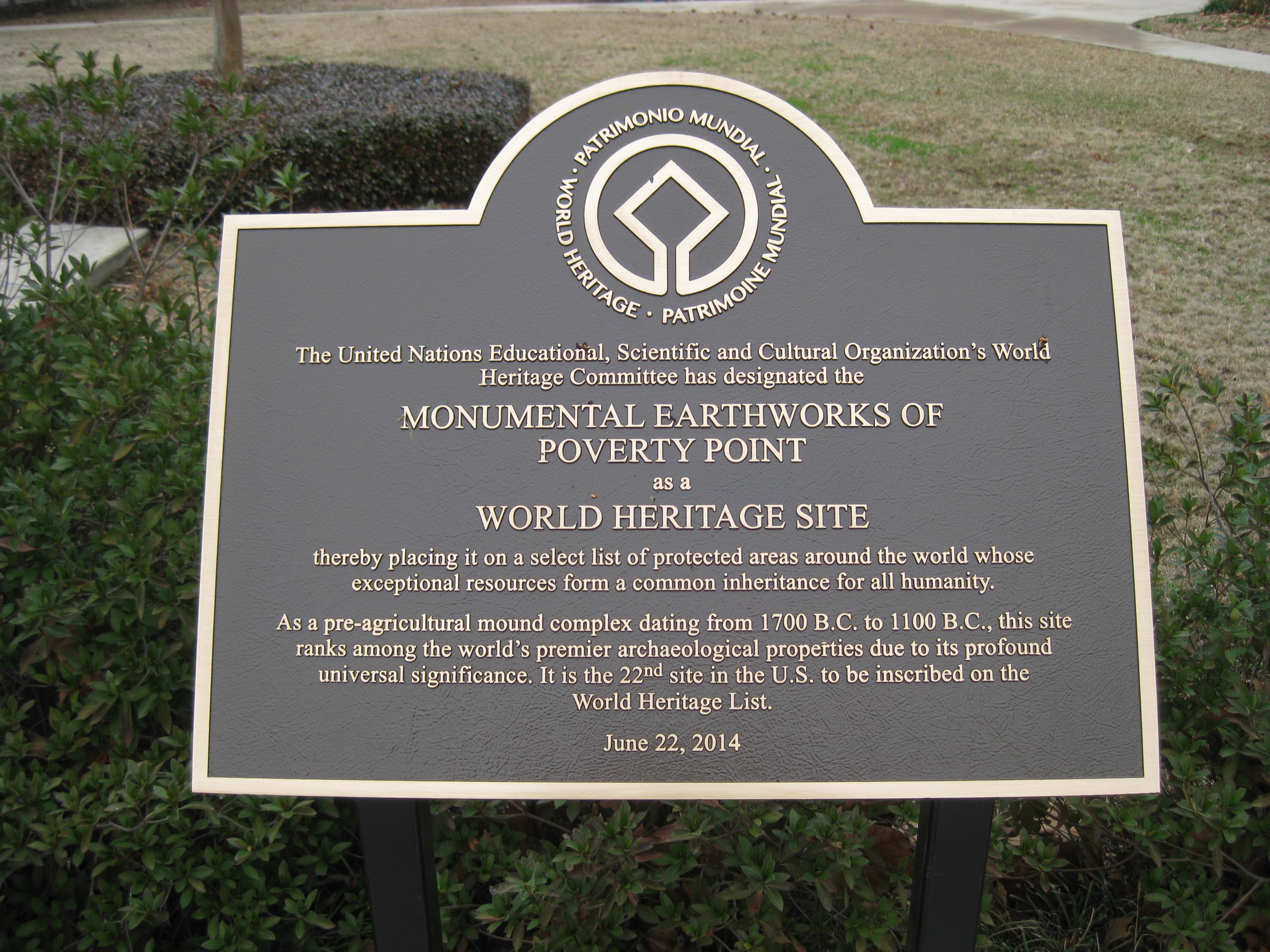
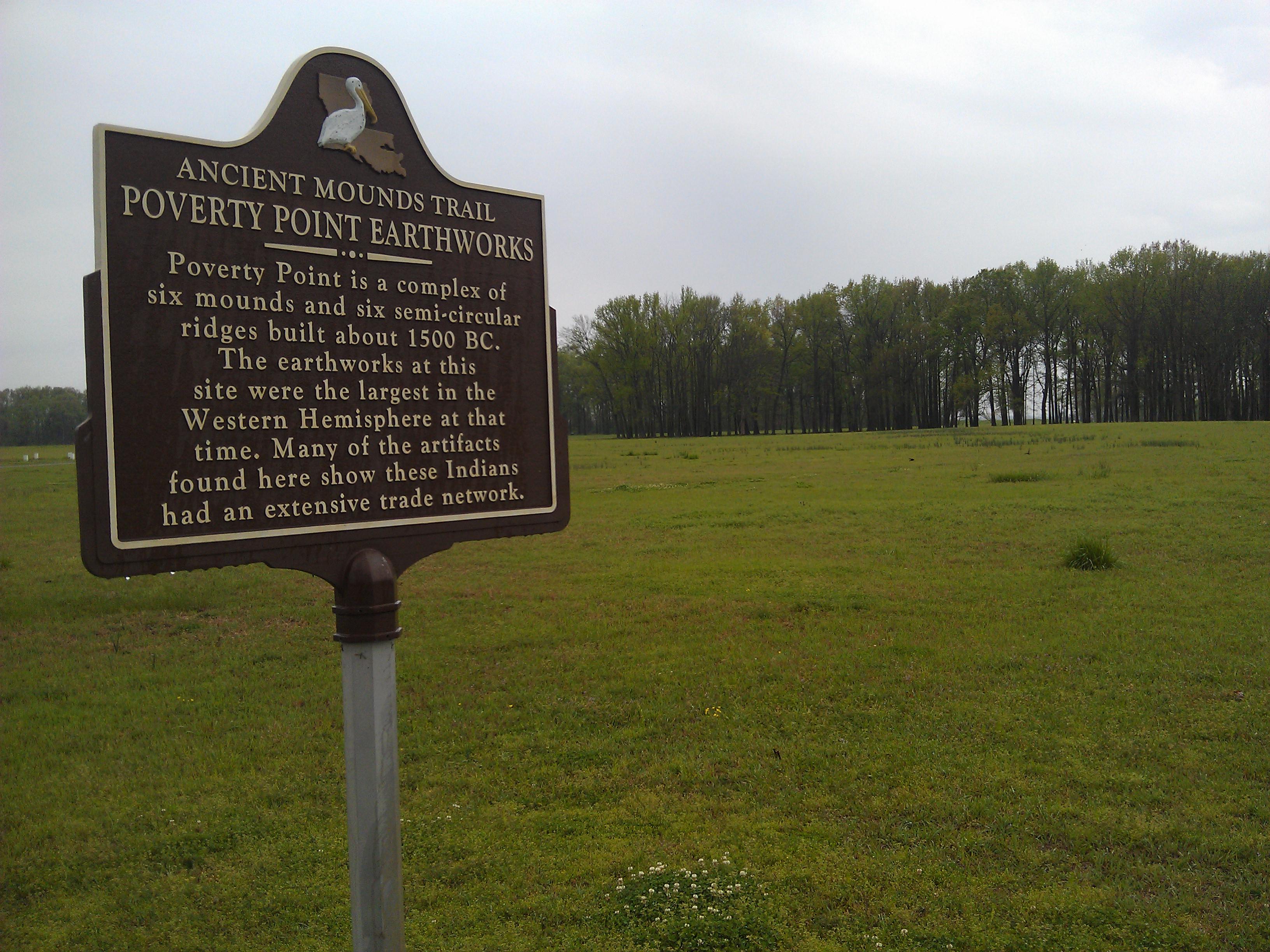
Poverty Point NM World Heritage sign
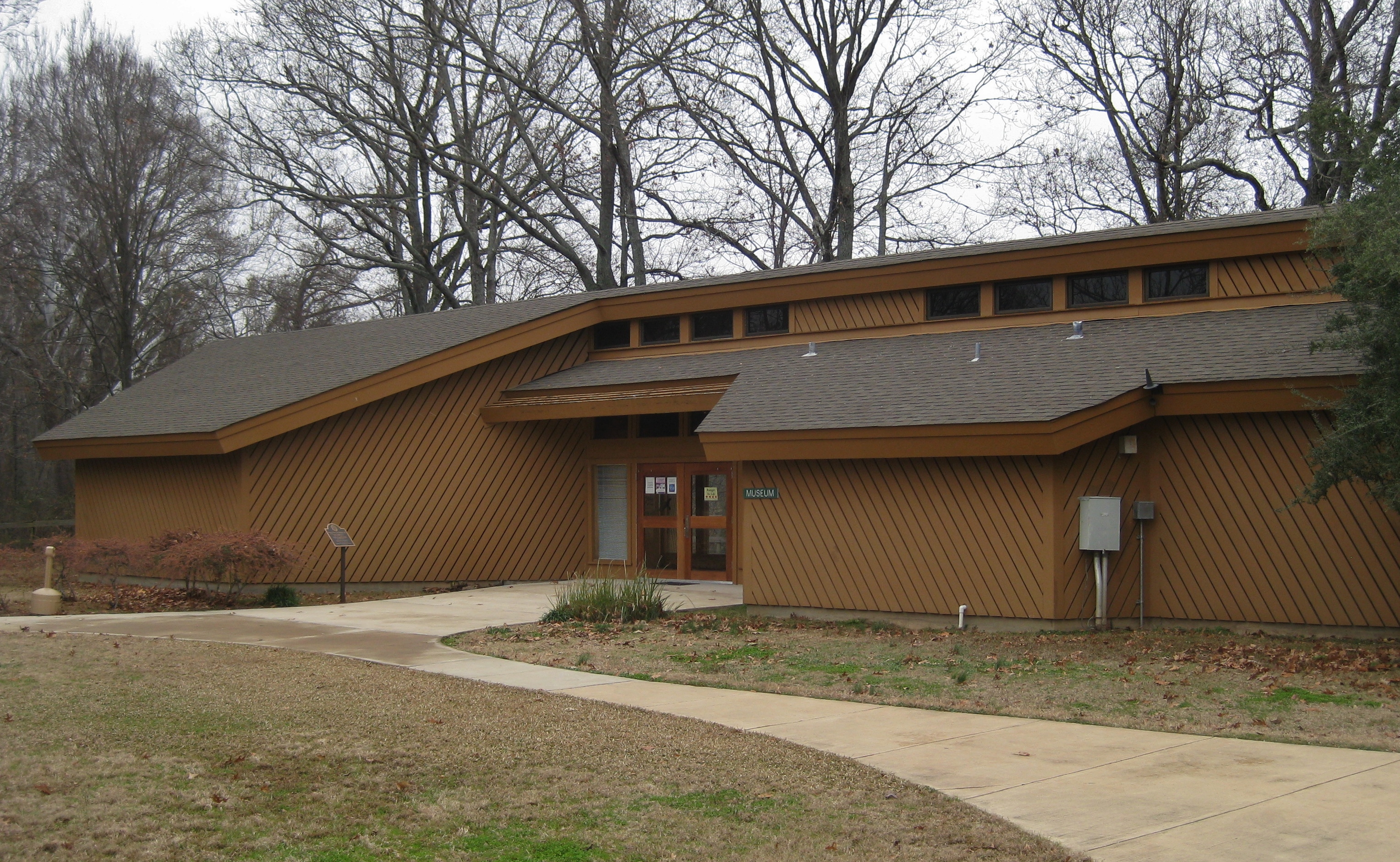
Poverty Point NM Visitor Center

Poverty Point- West Carroll Parish LA (15)
Poverty Point- West Carroll Parish LA (12)
Poverty Point- West Carroll Parish LA (13)
Poverty Point- West Carroll Parish LA (10)
Poverty Point- West Carroll Parish LA (8)

Poverty Point- West Carroll Parish LA (4)
Poverty Point- West Carroll Parish LA (6)
Poverty Point- West Carroll Parish LA (5)
Poverty Point- West Carroll Parish LA (1)
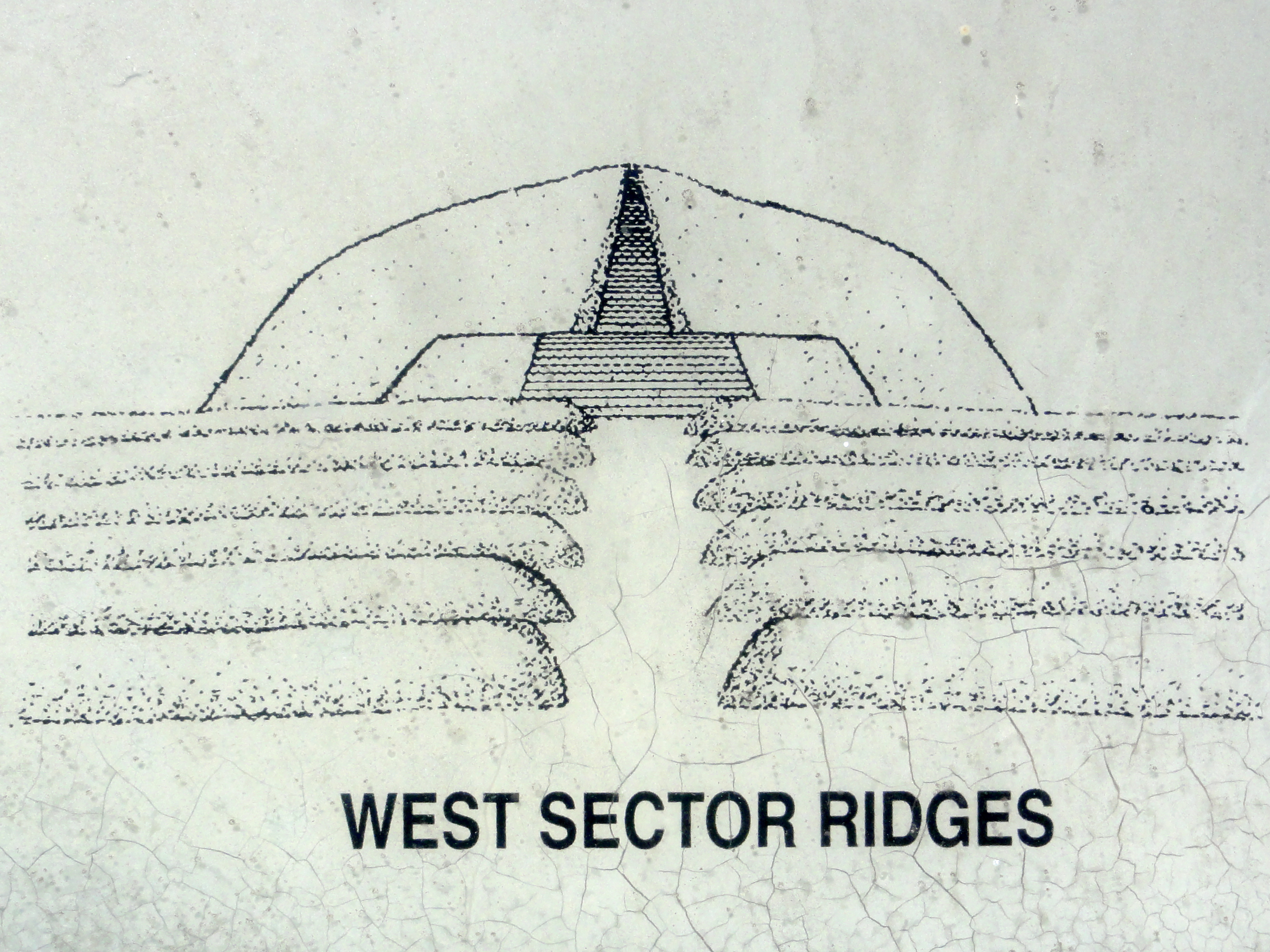
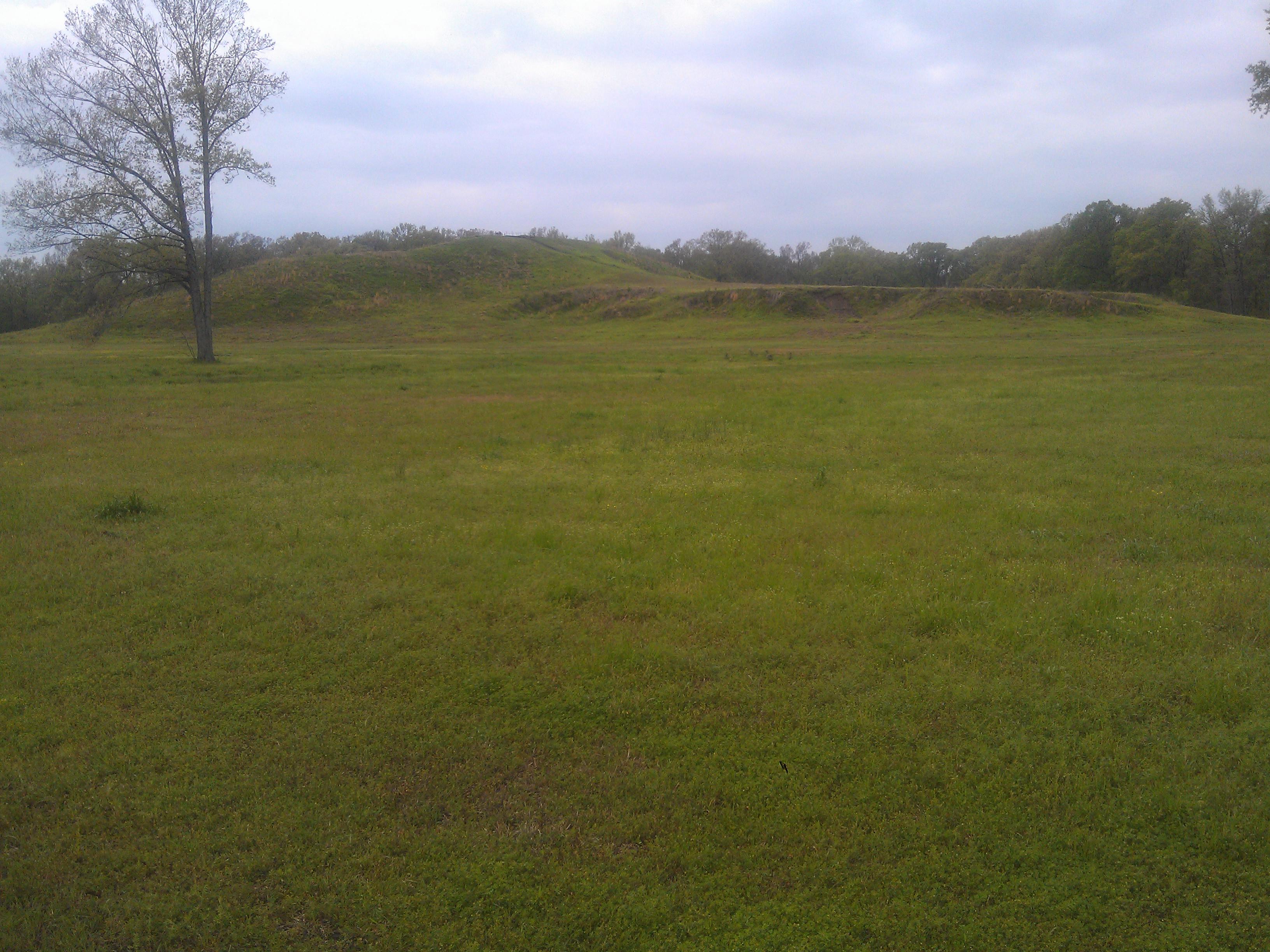
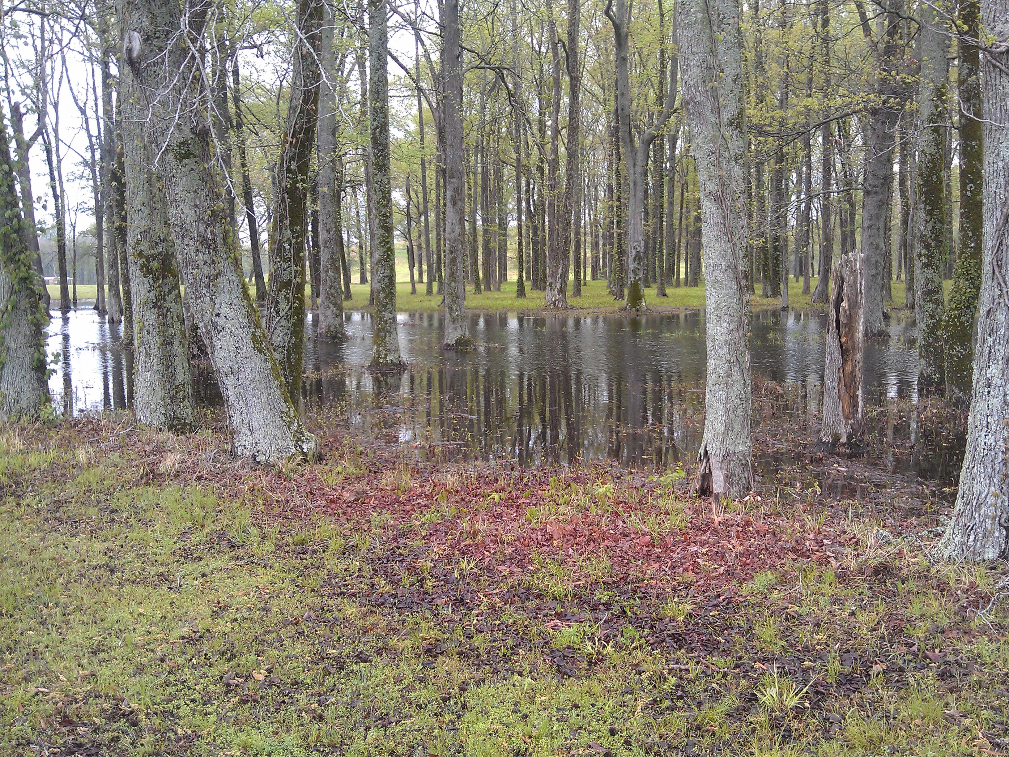
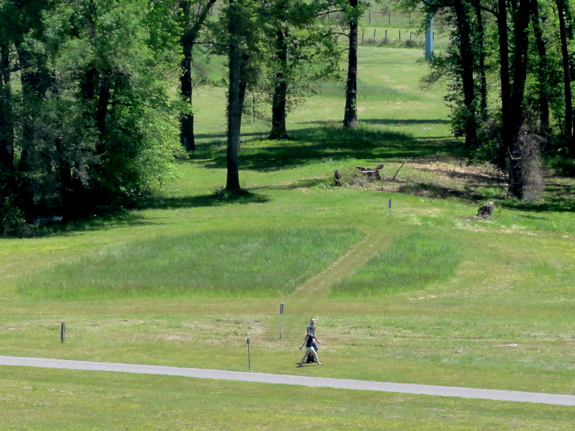
West Sector Ridges
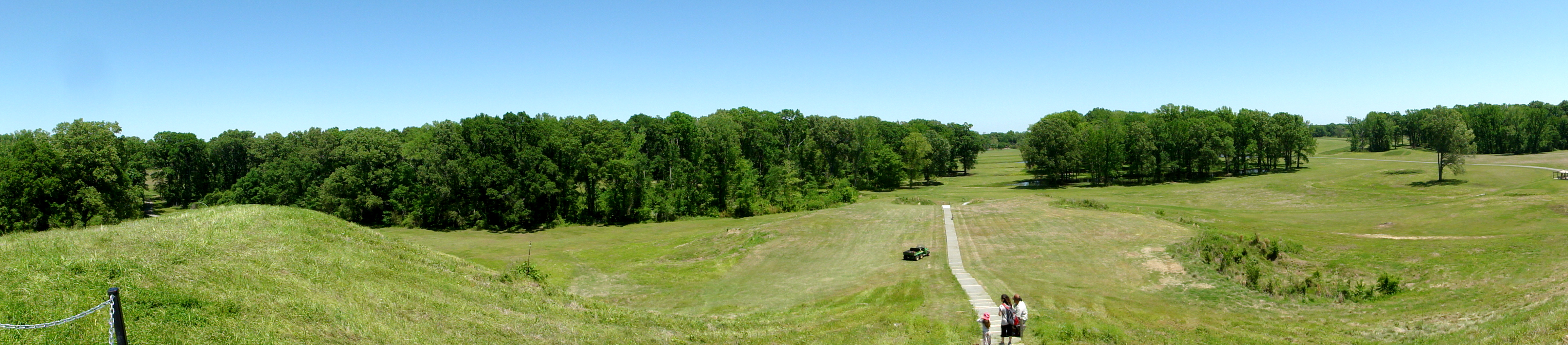
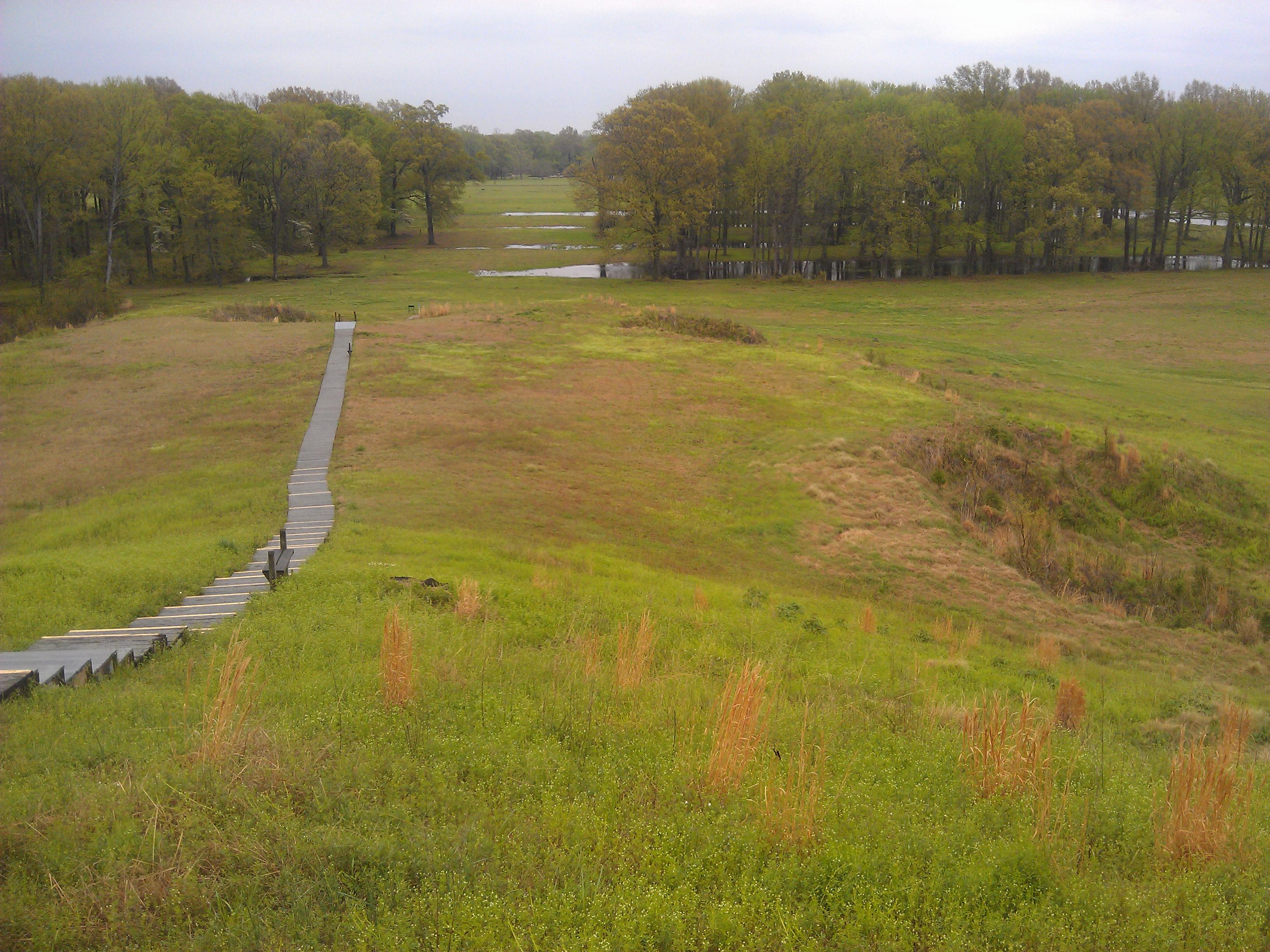
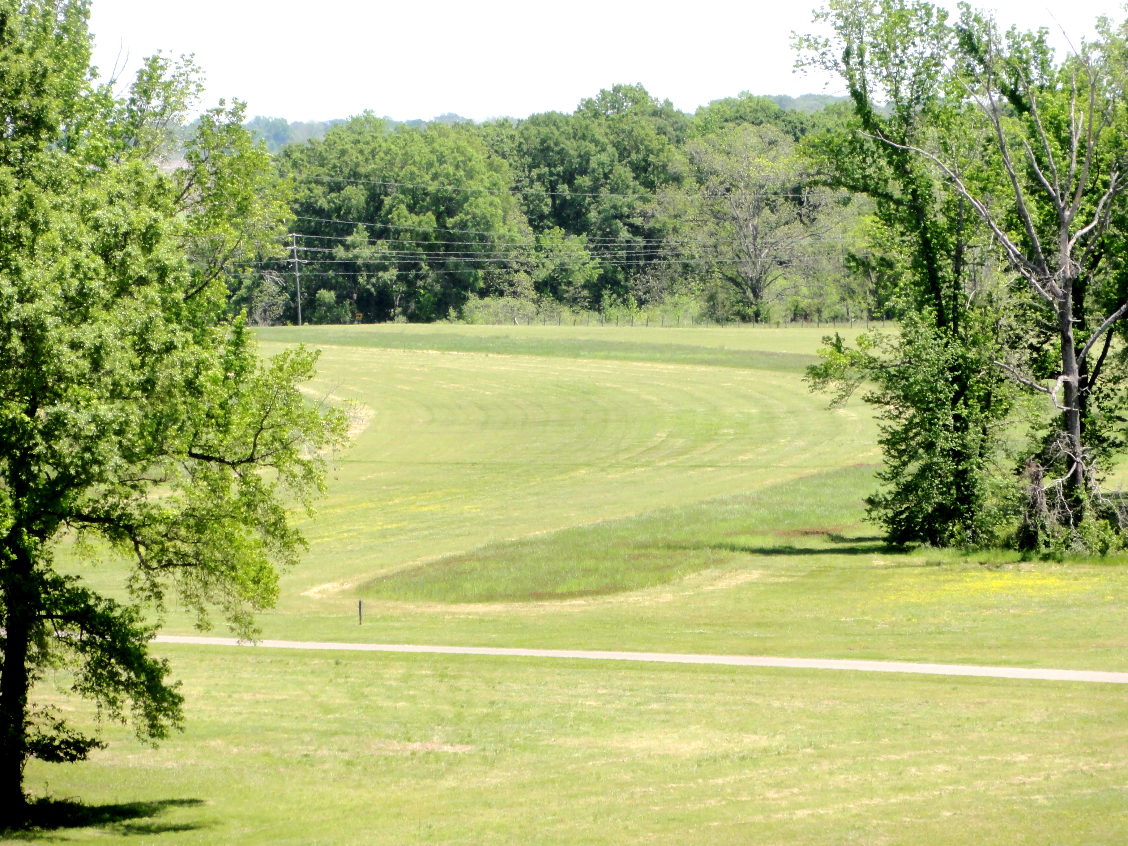
Panorama from Mound A
Walking Tour
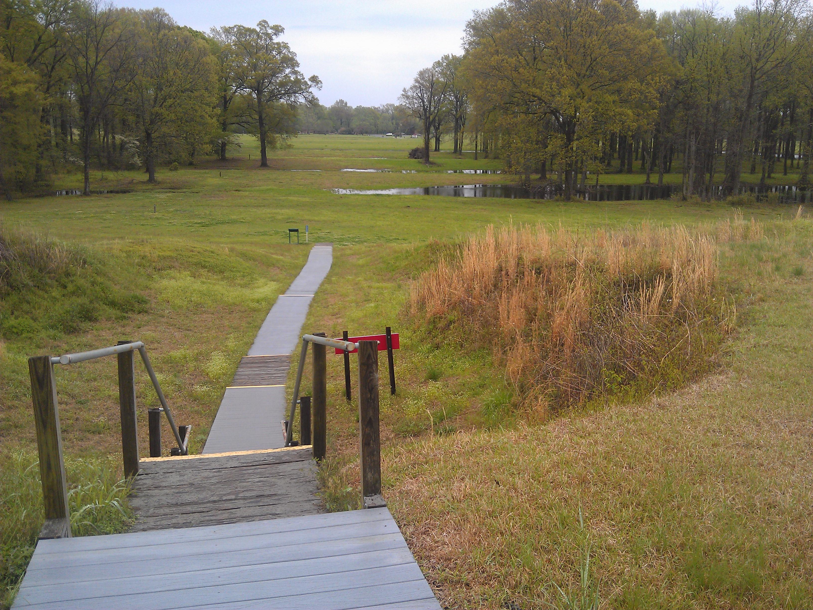
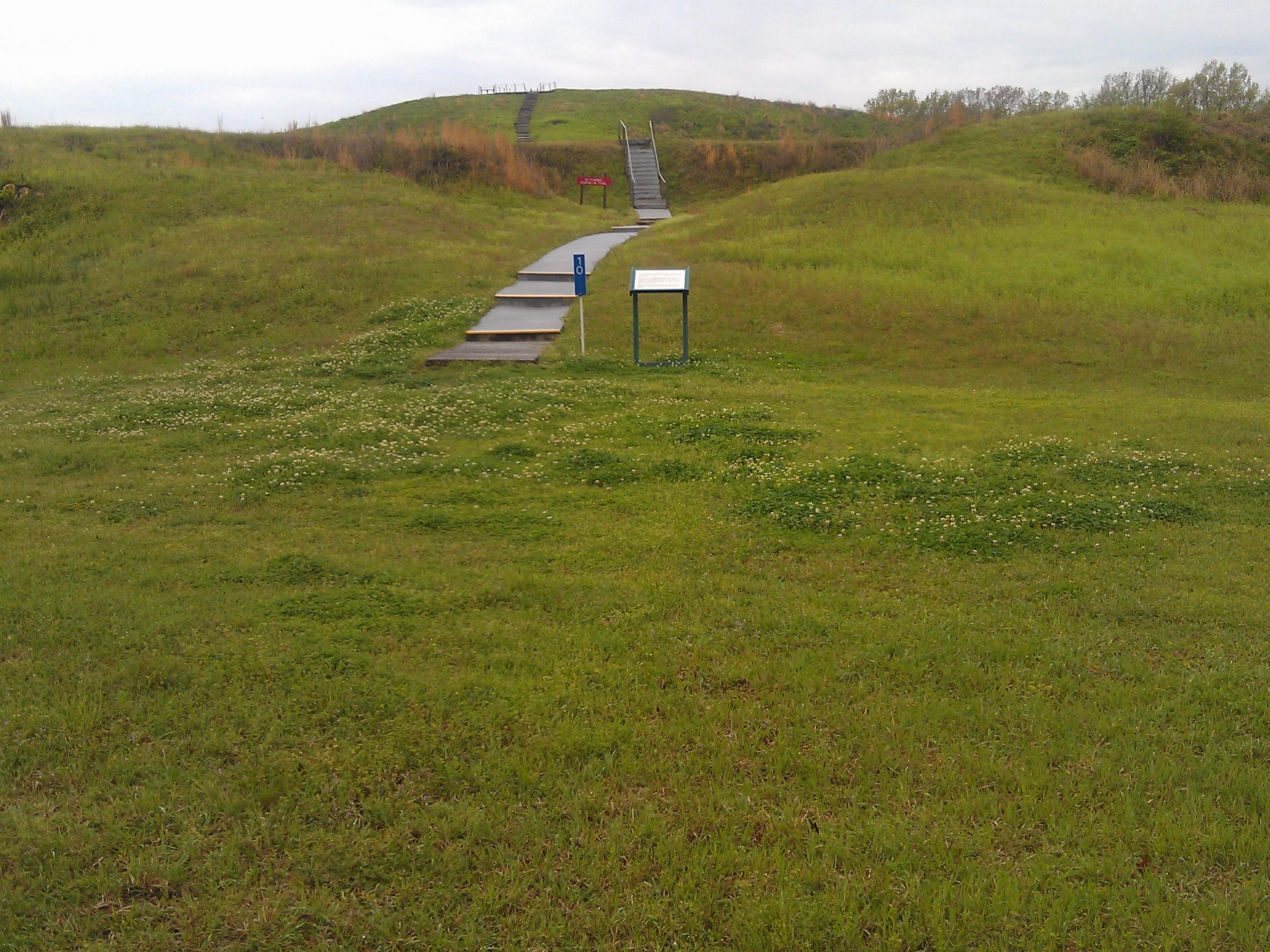
Ridge View
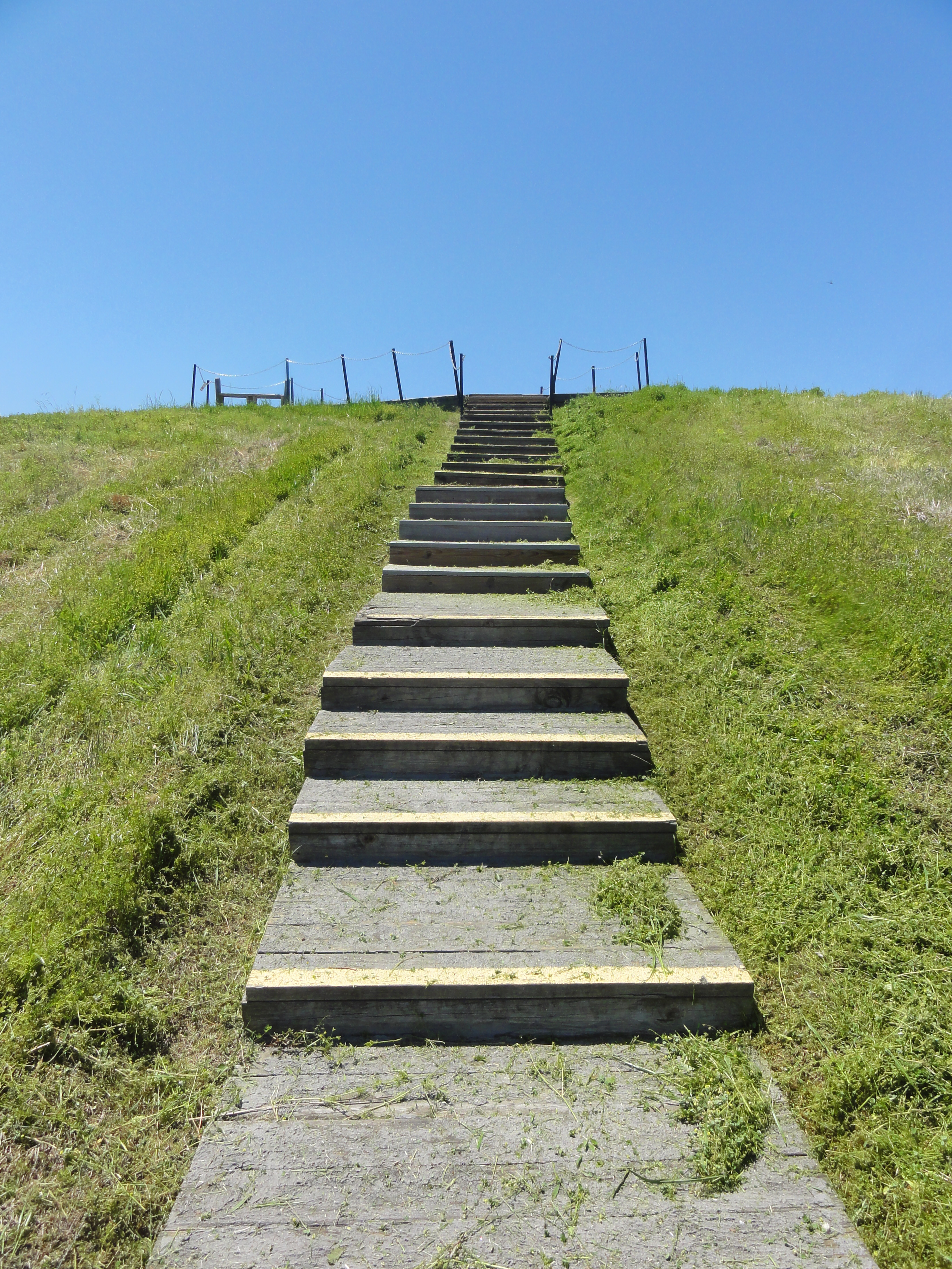
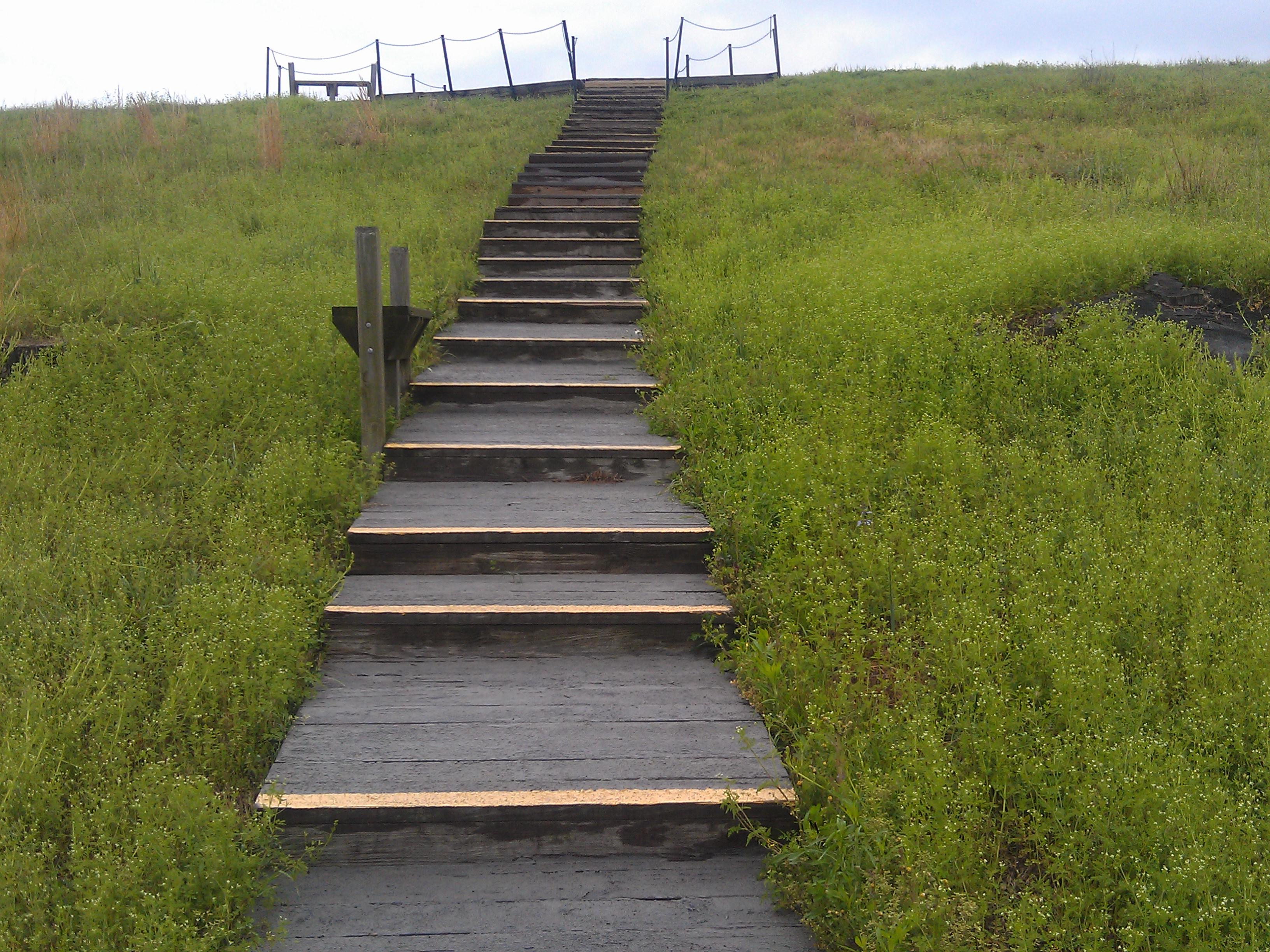
Stairway to Apex
Poverty Pointing
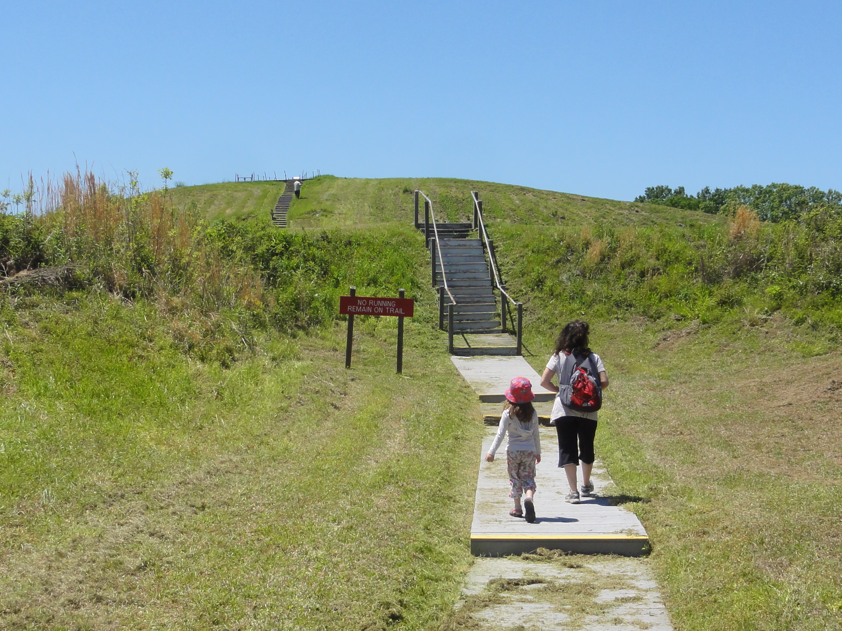
No Running Remain on Trail

Our Tour Guide
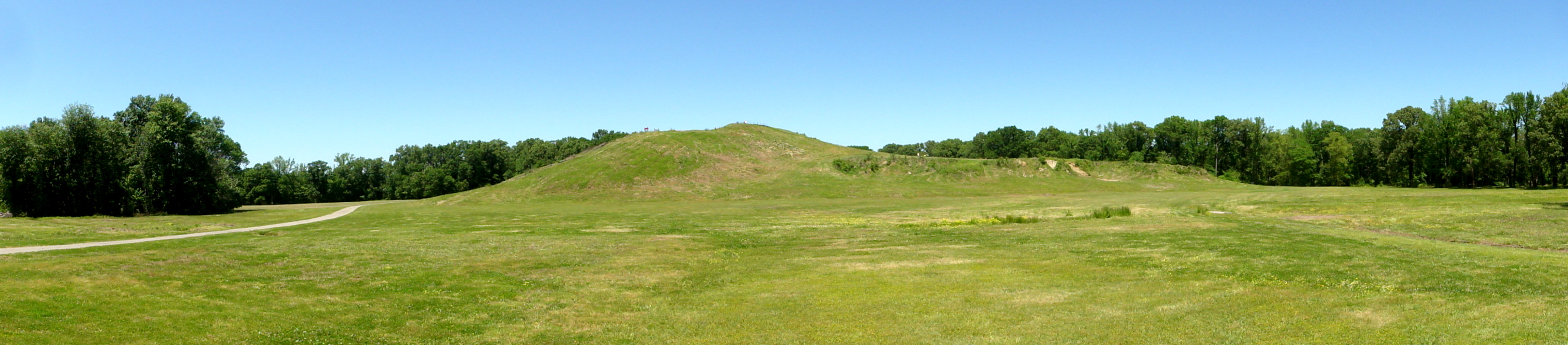
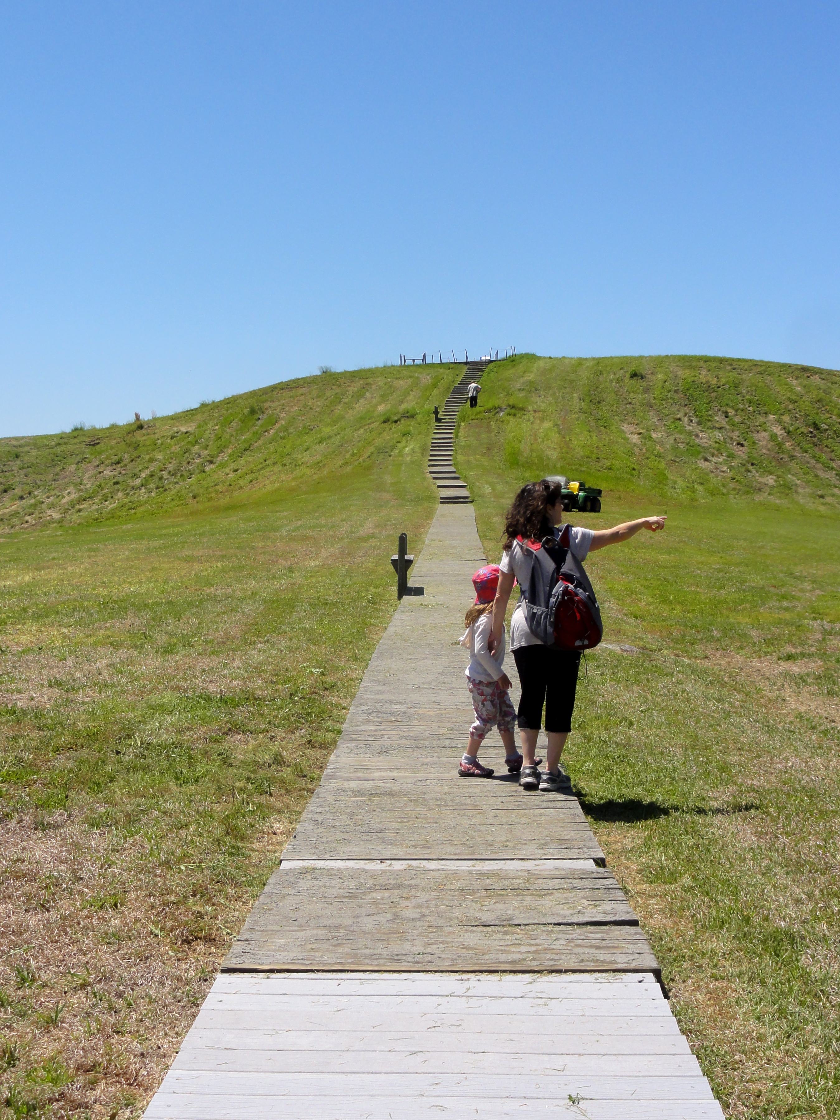
Mound Panorama
アメリカ合衆国 〒 ルイジアナ州 A ポヴァティ・ポイントの地図
別の場所を検索
近所の場所
LA-, Pioneer, LA アメリカ合衆国Poverty Point State Historic Site
アメリカ合衆国 ルイジアナ州 A
アメリカ合衆国 〒 ルイジアナ州 パイオニア
アメリカ合衆国 ルイジアナ州 1
アメリカ合衆国 ルイジアナ州 ウェストキャロル
Poverty Point Pkwy, Delhi, LA アメリカ合衆国Poverty Point Reservoir State
アメリカ合衆国 ルイジアナ州 B
3, LA, アメリカ合衆国
2, LA, アメリカ合衆国
アメリカ合衆国 〒 ルイジアナ州 2, ボーデナックス
アメリカ合衆国 ルイジアナ州 モアハウス
6, LA アメリカ合衆国
アメリカ合衆国 〒 ルイジアナ州 レイビル
Lord Rd, Oak Ridge, LA アメリカ合衆国
アメリカ合衆国 ルイジアナ州 リッチランド
アメリカ合衆国 ルイジアナ州 コリンストン
アメリカ合衆国 〒 ルイジアナ州 バストロップ
Little Lake Rd, Oak Ridge, LA アメリカ合衆国
アメリカ合衆国 ルイジアナ州 7
アメリカ合衆国 アーカンソー州 デ・バストロップ
最近の検索
- ナイジェリア 〒 ララグベン 2WWJ+4PJOgbosuware Health Centre日の出日の入り時間
- No. 6號, Kending Rd, Hengchun Township, Pingtung County, 台湾 墾丁凱撒大飯店(シーザーパークホテル墾丁)日の出日の入り時間
- エチオピア ハディヤ州日の出日の入り時間
- エチオピア ホサイナ日の出日の入り時間
- アルゼンチン ブエノスアイレス州 ネコチェア日の出日の入り時間
- Maxine St NE, Albuquerque, NM アメリカ合衆国日の出日の入り時間
- カンボジア Krong Bavet, CityManhattan Special Economic Zone日の出日の入り時間
- 日本、〒- 茨城県東茨城郡大洗町磯浜町大洗神社東日の出日の入り時間
- Polzela, スロベニア日の出日の入り時間
- Douro River日の出日の入り時間