アメリカ合衆国 カリフォルニア州 ピノン・ヒルズ日の出日の入り時間
Location: アメリカ合衆国 > カリフォルニア州 > サン・バーナディーノ >
時間帯:
America/Los_Angeles
現地時間:
2024-04-28 13:59:44
経度:
-117.6467917
緯度:
34.433237
今日の日の出時刻:
06:01:33 AM
今日の日の入時刻:
07:34:04 PM
今日の日長:
13h 32m 31s
明日の日の出時刻:
06:00:31 AM
明日の日の入時刻:
07:34:51 PM
明日の日長:
13h 34m 20s
すべて表示する
| 日付 | 日出 | 日没 | 日長 |
|---|---|---|---|
| 2024年01月01日 | 06:57:10 AM | 04:51:45 PM | 9h 54m 35s |
| 2024年01月02日 | 06:57:19 AM | 04:52:31 PM | 9h 55m 12s |
| 2024年01月03日 | 06:57:26 AM | 04:53:19 PM | 9h 55m 53s |
| 2024年01月04日 | 06:57:32 AM | 04:54:07 PM | 9h 56m 35s |
| 2024年01月05日 | 06:57:36 AM | 04:54:57 PM | 9h 57m 21s |
| 2024年01月06日 | 06:57:37 AM | 04:55:47 PM | 9h 58m 10s |
| 2024年01月07日 | 06:57:37 AM | 04:56:39 PM | 9h 59m 2s |
| 2024年01月08日 | 06:57:35 AM | 04:57:31 PM | 9h 59m 56s |
| 2024年01月09日 | 06:57:31 AM | 04:58:24 PM | 10h 0m 53s |
| 2024年01月10日 | 06:57:26 AM | 04:59:18 PM | 10h 1m 52s |
| 2024年01月11日 | 06:57:18 AM | 05:00:13 PM | 10h 2m 55s |
| 2024年01月12日 | 06:57:08 AM | 05:01:08 PM | 10h 4m 0s |
| 2024年01月13日 | 06:56:57 AM | 05:02:04 PM | 10h 5m 7s |
| 2024年01月14日 | 06:56:44 AM | 05:03:00 PM | 10h 6m 16s |
| 2024年01月15日 | 06:56:29 AM | 05:03:57 PM | 10h 7m 28s |
| 2024年01月16日 | 06:56:12 AM | 05:04:54 PM | 10h 8m 42s |
| 2024年01月17日 | 06:55:53 AM | 05:05:52 PM | 10h 9m 59s |
| 2024年01月18日 | 06:55:32 AM | 05:06:51 PM | 10h 11m 19s |
| 2024年01月19日 | 06:55:10 AM | 05:07:49 PM | 10h 12m 39s |
| 2024年01月20日 | 06:54:45 AM | 05:08:48 PM | 10h 14m 3s |
| 2024年01月21日 | 06:54:19 AM | 05:09:47 PM | 10h 15m 28s |
| 2024年01月22日 | 06:53:51 AM | 05:10:47 PM | 10h 16m 56s |
| 2024年01月23日 | 06:53:22 AM | 05:11:46 PM | 10h 18m 24s |
| 2024年01月24日 | 06:52:51 AM | 05:12:46 PM | 10h 19m 55s |
| 2024年01月25日 | 06:52:18 AM | 05:13:46 PM | 10h 21m 28s |
| 2024年01月26日 | 06:51:43 AM | 05:14:46 PM | 10h 23m 3s |
| 2024年01月27日 | 06:51:06 AM | 05:15:46 PM | 10h 24m 40s |
| 2024年01月28日 | 06:50:28 AM | 05:16:46 PM | 10h 26m 18s |
| 2024年01月29日 | 06:49:49 AM | 05:17:46 PM | 10h 27m 57s |
| 2024年01月30日 | 06:49:07 AM | 05:18:46 PM | 10h 29m 39s |
| 2024年01月31日 | 06:48:25 AM | 05:19:46 PM | 10h 31m 21s |
| 2024年02月01日 | 06:47:40 AM | 05:20:46 PM | 10h 33m 6s |
| 2024年02月02日 | 06:46:54 AM | 05:21:46 PM | 10h 34m 52s |
| 2024年02月03日 | 06:46:07 AM | 05:22:45 PM | 10h 36m 38s |
| 2024年02月04日 | 06:45:18 AM | 05:23:45 PM | 10h 38m 27s |
| 2024年02月05日 | 06:44:28 AM | 05:24:44 PM | 10h 40m 16s |
| 2024年02月06日 | 06:43:36 AM | 05:25:43 PM | 10h 42m 7s |
| 2024年02月07日 | 06:42:43 AM | 05:26:42 PM | 10h 43m 59s |
| 2024年02月08日 | 06:41:49 AM | 05:27:41 PM | 10h 45m 52s |
| 2024年02月09日 | 06:40:53 AM | 05:28:39 PM | 10h 47m 46s |
| 2024年02月10日 | 06:39:56 AM | 05:29:37 PM | 10h 49m 41s |
| 2024年02月11日 | 06:38:58 AM | 05:30:35 PM | 10h 51m 37s |
| 2024年02月12日 | 06:37:59 AM | 05:31:32 PM | 10h 53m 33s |
| 2024年02月13日 | 06:36:58 AM | 05:32:29 PM | 10h 55m 31s |
| 2024年02月14日 | 06:35:56 AM | 05:33:26 PM | 10h 57m 30s |
| 2024年02月15日 | 06:34:53 AM | 05:34:23 PM | 10h 59m 30s |
| 2024年02月16日 | 06:33:49 AM | 05:35:19 PM | 11h 1m 30s |
| 2024年02月17日 | 06:32:44 AM | 05:36:15 PM | 11h 3m 31s |
| 2024年02月18日 | 06:31:38 AM | 05:37:11 PM | 11h 5m 33s |
| 2024年02月19日 | 06:30:31 AM | 05:38:06 PM | 11h 7m 35s |
| 2024年02月20日 | 06:29:23 AM | 05:39:01 PM | 11h 9m 38s |
| 2024年02月21日 | 06:28:14 AM | 05:39:55 PM | 11h 11m 41s |
| 2024年02月22日 | 06:27:04 AM | 05:40:50 PM | 11h 13m 46s |
| 2024年02月23日 | 06:25:53 AM | 05:41:43 PM | 11h 15m 50s |
| 2024年02月24日 | 06:24:42 AM | 05:42:37 PM | 11h 17m 55s |
| 2024年02月25日 | 06:23:29 AM | 05:43:30 PM | 11h 20m 1s |
| 2024年02月26日 | 06:22:16 AM | 05:44:23 PM | 11h 22m 7s |
| 2024年02月27日 | 06:21:02 AM | 05:45:16 PM | 11h 24m 14s |
| 2024年02月28日 | 06:19:47 AM | 05:46:08 PM | 11h 26m 21s |
| 2024年02月29日 | 06:18:32 AM | 05:47:00 PM | 11h 28m 28s |
| 2024年03月01日 | 06:17:16 AM | 05:47:51 PM | 11h 30m 35s |
| 2024年03月02日 | 06:15:59 AM | 05:48:42 PM | 11h 32m 43s |
| 2024年03月03日 | 06:14:42 AM | 05:49:33 PM | 11h 34m 51s |
| 2024年03月04日 | 06:13:24 AM | 05:50:24 PM | 11h 37m 0s |
| 2024年03月05日 | 06:12:05 AM | 05:51:14 PM | 11h 39m 9s |
| 2024年03月06日 | 06:10:46 AM | 05:52:04 PM | 11h 41m 18s |
| 2024年03月07日 | 06:09:27 AM | 05:52:54 PM | 11h 43m 27s |
| 2024年03月08日 | 06:08:07 AM | 05:53:43 PM | 11h 45m 36s |
| 2024年03月09日 | 06:06:47 AM | 05:54:33 PM | 11h 47m 46s |
| 2024年03月10日 | 07:05:30 AM | 06:55:20 PM | 11h 49m 50s |
| 2024年03月11日 | 07:04:09 AM | 06:56:08 PM | 11h 51m 59s |
| 2024年03月12日 | 07:02:47 AM | 06:56:57 PM | 11h 54m 10s |
| 2024年03月13日 | 07:01:26 AM | 06:57:45 PM | 11h 56m 19s |
| 2024年03月14日 | 07:00:04 AM | 06:58:33 PM | 11h 58m 29s |
| 2024年03月15日 | 06:58:42 AM | 06:59:21 PM | 12h 0m 39s |
| 2024年03月16日 | 06:57:19 AM | 07:00:09 PM | 12h 2m 50s |
| 2024年03月17日 | 06:55:57 AM | 07:00:57 PM | 12h 5m 0s |
| 2024年03月18日 | 06:54:34 AM | 07:01:44 PM | 12h 7m 10s |
| 2024年03月19日 | 06:53:11 AM | 07:02:31 PM | 12h 9m 20s |
| 2024年03月20日 | 06:51:49 AM | 07:03:19 PM | 12h 11m 30s |
| 2024年03月21日 | 06:50:26 AM | 07:04:06 PM | 12h 13m 40s |
| 2024年03月22日 | 06:49:03 AM | 07:04:52 PM | 12h 15m 49s |
| 2024年03月23日 | 06:47:40 AM | 07:05:39 PM | 12h 17m 59s |
| 2024年03月24日 | 06:46:17 AM | 07:06:26 PM | 12h 20m 9s |
| 2024年03月25日 | 06:44:54 AM | 07:07:13 PM | 12h 22m 19s |
| 2024年03月26日 | 06:43:31 AM | 07:07:59 PM | 12h 24m 28s |
| 2024年03月27日 | 06:42:09 AM | 07:08:46 PM | 12h 26m 37s |
| 2024年03月28日 | 06:40:46 AM | 07:09:32 PM | 12h 28m 46s |
| 2024年03月29日 | 06:39:24 AM | 07:10:18 PM | 12h 30m 54s |
| 2024年03月30日 | 06:38:02 AM | 07:11:05 PM | 12h 33m 3s |
| 2024年03月31日 | 06:36:40 AM | 07:11:51 PM | 12h 35m 11s |
| 2024年04月01日 | 06:35:18 AM | 07:12:38 PM | 12h 37m 20s |
| 2024年04月02日 | 06:33:57 AM | 07:13:24 PM | 12h 39m 27s |
| 2024年04月03日 | 06:32:36 AM | 07:14:10 PM | 12h 41m 34s |
| 2024年04月04日 | 06:31:15 AM | 07:14:57 PM | 12h 43m 42s |
| 2024年04月05日 | 06:29:55 AM | 07:15:43 PM | 12h 45m 48s |
| 2024年04月06日 | 06:28:35 AM | 07:16:30 PM | 12h 47m 55s |
| 2024年04月07日 | 06:27:15 AM | 07:17:16 PM | 12h 50m 1s |
| 2024年04月08日 | 06:25:56 AM | 07:18:02 PM | 12h 52m 6s |
| 2024年04月09日 | 06:24:38 AM | 07:18:49 PM | 12h 54m 11s |
| 2024年04月10日 | 06:23:20 AM | 07:19:36 PM | 12h 56m 16s |
| 2024年04月11日 | 06:22:02 AM | 07:20:22 PM | 12h 58m 20s |
| 2024年04月12日 | 06:20:45 AM | 07:21:09 PM | 13h 0m 24s |
| 2024年04月13日 | 06:19:29 AM | 07:21:56 PM | 13h 2m 27s |
| 2024年04月14日 | 06:18:14 AM | 07:22:43 PM | 13h 4m 29s |
| 2024年04月15日 | 06:16:59 AM | 07:23:30 PM | 13h 6m 31s |
| 2024年04月16日 | 06:15:44 AM | 07:24:17 PM | 13h 8m 33s |
| 2024年04月17日 | 06:14:31 AM | 07:25:04 PM | 13h 10m 33s |
| 2024年04月18日 | 06:13:18 AM | 07:25:51 PM | 13h 12m 33s |
| 2024年04月19日 | 06:12:06 AM | 07:26:38 PM | 13h 14m 32s |
| 2024年04月20日 | 06:10:55 AM | 07:27:26 PM | 13h 16m 31s |
| 2024年04月21日 | 06:09:44 AM | 07:28:13 PM | 13h 18m 29s |
| 2024年04月22日 | 06:08:35 AM | 07:29:00 PM | 13h 20m 25s |
| 2024年04月23日 | 06:07:26 AM | 07:29:48 PM | 13h 22m 22s |
| 2024年04月24日 | 06:06:18 AM | 07:30:35 PM | 13h 24m 17s |
| 2024年04月25日 | 06:05:11 AM | 07:31:23 PM | 13h 26m 12s |
| 2024年04月26日 | 06:04:06 AM | 07:32:10 PM | 13h 28m 4s |
| 2024年04月27日 | 06:03:01 AM | 07:32:58 PM | 13h 29m 57s |
| 2024年04月28日 | 06:01:57 AM | 07:33:46 PM | 13h 31m 49s |
| 2024年04月29日 | 06:00:54 AM | 07:34:33 PM | 13h 33m 39s |
| 2024年04月30日 | 05:59:52 AM | 07:35:21 PM | 13h 35m 29s |
| 2024年05月01日 | 05:58:52 AM | 07:36:09 PM | 13h 37m 17s |
| 2024年05月02日 | 05:57:52 AM | 07:36:56 PM | 13h 39m 4s |
| 2024年05月03日 | 05:56:54 AM | 07:37:44 PM | 13h 40m 50s |
| 2024年05月04日 | 05:55:57 AM | 07:38:31 PM | 13h 42m 34s |
| 2024年05月05日 | 05:55:01 AM | 07:39:19 PM | 13h 44m 18s |
| 2024年05月06日 | 05:54:06 AM | 07:40:06 PM | 13h 46m 0s |
| 2024年05月07日 | 05:53:13 AM | 07:40:53 PM | 13h 47m 40s |
| 2024年05月08日 | 05:52:21 AM | 07:41:40 PM | 13h 49m 19s |
| 2024年05月09日 | 05:51:30 AM | 07:42:27 PM | 13h 50m 57s |
| 2024年05月10日 | 05:50:41 AM | 07:43:14 PM | 13h 52m 33s |
| 2024年05月11日 | 05:49:52 AM | 07:44:00 PM | 13h 54m 8s |
| 2024年05月12日 | 05:49:06 AM | 07:44:46 PM | 13h 55m 40s |
| 2024年05月13日 | 05:48:20 AM | 07:45:32 PM | 13h 57m 12s |
| 2024年05月14日 | 05:47:36 AM | 07:46:18 PM | 13h 58m 42s |
| 2024年05月15日 | 05:46:54 AM | 07:47:03 PM | 14h 0m 9s |
| 2024年05月16日 | 05:46:13 AM | 07:47:49 PM | 14h 1m 36s |
| 2024年05月17日 | 05:45:33 AM | 07:48:33 PM | 14h 3m 0s |
| 2024年05月18日 | 05:44:55 AM | 07:49:18 PM | 14h 4m 23s |
| 2024年05月19日 | 05:44:18 AM | 07:50:01 PM | 14h 5m 43s |
| 2024年05月20日 | 05:43:43 AM | 07:50:45 PM | 14h 7m 2s |
| 2024年05月21日 | 05:43:10 AM | 07:51:28 PM | 14h 8m 18s |
| 2024年05月22日 | 05:42:38 AM | 07:52:10 PM | 14h 9m 32s |
| 2024年05月23日 | 05:42:07 AM | 07:52:52 PM | 14h 10m 45s |
| 2024年05月24日 | 05:41:38 AM | 07:53:34 PM | 14h 11m 56s |
| 2024年05月25日 | 05:41:11 AM | 07:54:14 PM | 14h 13m 3s |
| 2024年05月26日 | 05:40:45 AM | 07:54:54 PM | 14h 14m 9s |
| 2024年05月27日 | 05:40:21 AM | 07:55:34 PM | 14h 15m 13s |
| 2024年05月28日 | 05:39:58 AM | 07:56:12 PM | 14h 16m 14s |
| 2024年05月29日 | 05:39:38 AM | 07:56:50 PM | 14h 17m 12s |
| 2024年05月30日 | 05:39:18 AM | 07:57:27 PM | 14h 18m 9s |
| 2024年05月31日 | 05:39:01 AM | 07:58:04 PM | 14h 19m 3s |
| 2024年06月01日 | 05:38:45 AM | 07:58:39 PM | 14h 19m 54s |
| 2024年06月02日 | 05:38:30 AM | 07:59:14 PM | 14h 20m 44s |
| 2024年06月03日 | 05:38:17 AM | 07:59:47 PM | 14h 21m 30s |
| 2024年06月04日 | 05:38:06 AM | 08:00:20 PM | 14h 22m 14s |
| 2024年06月05日 | 05:37:57 AM | 08:00:51 PM | 14h 22m 54s |
| 2024年06月06日 | 05:37:49 AM | 08:01:22 PM | 14h 23m 33s |
| 2024年06月07日 | 05:37:42 AM | 08:01:52 PM | 14h 24m 10s |
| 2024年06月08日 | 05:37:38 AM | 08:02:20 PM | 14h 24m 42s |
| 2024年06月09日 | 05:37:35 AM | 08:02:47 PM | 14h 25m 12s |
| 2024年06月10日 | 05:37:33 AM | 08:03:13 PM | 14h 25m 40s |
| 2024年06月11日 | 05:37:33 AM | 08:03:38 PM | 14h 26m 5s |
| 2024年06月12日 | 05:37:35 AM | 08:04:02 PM | 14h 26m 27s |
| 2024年06月13日 | 05:37:38 AM | 08:04:24 PM | 14h 26m 46s |
| 2024年06月14日 | 05:37:42 AM | 08:04:45 PM | 14h 27m 3s |
| 2024年06月15日 | 05:37:49 AM | 08:05:05 PM | 14h 27m 16s |
| 2024年06月16日 | 05:37:56 AM | 08:05:23 PM | 14h 27m 27s |
| 2024年06月17日 | 05:38:05 AM | 08:05:40 PM | 14h 27m 35s |
| 2024年06月18日 | 05:38:16 AM | 08:05:56 PM | 14h 27m 40s |
| 2024年06月19日 | 05:38:28 AM | 08:06:10 PM | 14h 27m 42s |
| 2024年06月20日 | 05:38:41 AM | 08:06:23 PM | 14h 27m 42s |
| 2024年06月21日 | 05:38:56 AM | 08:06:34 PM | 14h 27m 38s |
| 2024年06月22日 | 05:39:12 AM | 08:06:44 PM | 14h 27m 32s |
| 2024年06月23日 | 05:39:30 AM | 08:06:52 PM | 14h 27m 22s |
| 2024年06月24日 | 05:39:49 AM | 08:06:58 PM | 14h 27m 9s |
| 2024年06月25日 | 05:40:09 AM | 08:07:03 PM | 14h 26m 54s |
| 2024年06月26日 | 05:40:30 AM | 08:07:07 PM | 14h 26m 37s |
| 2024年06月27日 | 05:40:53 AM | 08:07:09 PM | 14h 26m 16s |
| 2024年06月28日 | 05:41:16 AM | 08:07:09 PM | 14h 25m 53s |
| 2024年06月29日 | 05:41:41 AM | 08:07:08 PM | 14h 25m 27s |
| 2024年06月30日 | 05:42:07 AM | 08:07:05 PM | 14h 24m 58s |
| 2024年07月01日 | 05:42:34 AM | 08:07:00 PM | 14h 24m 26s |
| 2024年07月02日 | 05:43:02 AM | 08:06:54 PM | 14h 23m 52s |
| 2024年07月03日 | 05:43:31 AM | 08:06:46 PM | 14h 23m 15s |
| 2024年07月04日 | 05:44:02 AM | 08:06:36 PM | 14h 22m 34s |
| 2024年07月05日 | 05:44:33 AM | 08:06:25 PM | 14h 21m 52s |
| 2024年07月06日 | 05:45:05 AM | 08:06:12 PM | 14h 21m 7s |
| 2024年07月07日 | 05:45:37 AM | 08:05:58 PM | 14h 20m 21s |
| 2024年07月08日 | 05:46:11 AM | 08:05:41 PM | 14h 19m 30s |
| 2024年07月09日 | 05:46:46 AM | 08:05:24 PM | 14h 18m 38s |
| 2024年07月10日 | 05:47:21 AM | 08:05:04 PM | 14h 17m 43s |
| 2024年07月11日 | 05:47:57 AM | 08:04:43 PM | 14h 16m 46s |
| 2024年07月12日 | 05:48:34 AM | 08:04:20 PM | 14h 15m 46s |
| 2024年07月13日 | 05:49:11 AM | 08:03:55 PM | 14h 14m 44s |
| 2024年07月14日 | 05:49:49 AM | 08:03:29 PM | 14h 13m 40s |
| 2024年07月15日 | 05:50:28 AM | 08:03:02 PM | 14h 12m 34s |
| 2024年07月16日 | 05:51:07 AM | 08:02:32 PM | 14h 11m 25s |
| 2024年07月17日 | 05:51:46 AM | 08:02:01 PM | 14h 10m 15s |
| 2024年07月18日 | 05:52:27 AM | 08:01:29 PM | 14h 9m 2s |
| 2024年07月19日 | 05:53:07 AM | 08:00:54 PM | 14h 7m 47s |
| 2024年07月20日 | 05:53:48 AM | 08:00:19 PM | 14h 6m 31s |
| 2024年07月21日 | 05:54:30 AM | 07:59:41 PM | 14h 5m 11s |
| 2024年07月22日 | 05:55:12 AM | 07:59:03 PM | 14h 3m 51s |
| 2024年07月23日 | 05:55:54 AM | 07:58:22 PM | 14h 2m 28s |
| 2024年07月24日 | 05:56:36 AM | 07:57:40 PM | 14h 1m 4s |
| 2024年07月25日 | 05:57:19 AM | 07:56:57 PM | 13h 59m 38s |
| 2024年07月26日 | 05:58:02 AM | 07:56:12 PM | 13h 58m 10s |
| 2024年07月27日 | 05:58:45 AM | 07:55:26 PM | 13h 56m 41s |
| 2024年07月28日 | 05:59:29 AM | 07:54:39 PM | 13h 55m 10s |
| 2024年07月29日 | 06:00:13 AM | 07:53:50 PM | 13h 53m 37s |
| 2024年07月30日 | 06:00:56 AM | 07:52:59 PM | 13h 52m 3s |
| 2024年07月31日 | 06:01:40 AM | 07:52:07 PM | 13h 50m 27s |
| 2024年08月01日 | 06:02:24 AM | 07:51:14 PM | 13h 48m 50s |
| 2024年08月02日 | 06:03:09 AM | 07:50:20 PM | 13h 47m 11s |
| 2024年08月03日 | 06:03:53 AM | 07:49:24 PM | 13h 45m 31s |
| 2024年08月04日 | 06:04:37 AM | 07:48:27 PM | 13h 43m 50s |
| 2024年08月05日 | 06:05:21 AM | 07:47:29 PM | 13h 42m 8s |
| 2024年08月06日 | 06:06:06 AM | 07:46:30 PM | 13h 40m 24s |
| 2024年08月07日 | 06:06:50 AM | 07:45:29 PM | 13h 38m 39s |
| 2024年08月08日 | 06:07:35 AM | 07:44:28 PM | 13h 36m 53s |
| 2024年08月09日 | 06:08:19 AM | 07:43:25 PM | 13h 35m 6s |
| 2024年08月10日 | 06:09:03 AM | 07:42:21 PM | 13h 33m 18s |
| 2024年08月11日 | 06:09:47 AM | 07:41:16 PM | 13h 31m 29s |
| 2024年08月12日 | 06:10:32 AM | 07:40:10 PM | 13h 29m 38s |
| 2024年08月13日 | 06:11:16 AM | 07:39:03 PM | 13h 27m 47s |
| 2024年08月14日 | 06:12:00 AM | 07:37:55 PM | 13h 25m 55s |
| 2024年08月15日 | 06:12:44 AM | 07:36:45 PM | 13h 24m 1s |
| 2024年08月16日 | 06:13:28 AM | 07:35:35 PM | 13h 22m 7s |
| 2024年08月17日 | 06:14:12 AM | 07:34:25 PM | 13h 20m 13s |
| 2024年08月18日 | 06:14:55 AM | 07:33:13 PM | 13h 18m 18s |
| 2024年08月19日 | 06:15:39 AM | 07:32:00 PM | 13h 16m 21s |
| 2024年08月20日 | 06:16:23 AM | 07:30:47 PM | 13h 14m 24s |
| 2024年08月21日 | 06:17:06 AM | 07:29:32 PM | 13h 12m 26s |
| 2024年08月22日 | 06:17:49 AM | 07:28:17 PM | 13h 10m 28s |
| 2024年08月23日 | 06:18:33 AM | 07:27:01 PM | 13h 8m 28s |
| 2024年08月24日 | 06:19:16 AM | 07:25:45 PM | 13h 6m 29s |
| 2024年08月25日 | 06:19:59 AM | 07:24:28 PM | 13h 4m 29s |
| 2024年08月26日 | 06:20:42 AM | 07:23:10 PM | 13h 2m 28s |
| 2024年08月27日 | 06:21:25 AM | 07:21:51 PM | 13h 0m 26s |
| 2024年08月28日 | 06:22:07 AM | 07:20:32 PM | 12h 58m 25s |
| 2024年08月29日 | 06:22:50 AM | 07:19:12 PM | 12h 56m 22s |
| 2024年08月30日 | 06:23:33 AM | 07:17:52 PM | 12h 54m 19s |
| 2024年08月31日 | 06:24:15 AM | 07:16:31 PM | 12h 52m 16s |
| 2024年09月01日 | 06:24:58 AM | 07:15:10 PM | 12h 50m 12s |
| 2024年09月02日 | 06:25:40 AM | 07:13:49 PM | 12h 48m 9s |
| 2024年09月03日 | 06:26:22 AM | 07:12:26 PM | 12h 46m 4s |
| 2024年09月04日 | 06:27:04 AM | 07:11:04 PM | 12h 44m 0s |
| 2024年09月05日 | 06:27:47 AM | 07:09:41 PM | 12h 41m 54s |
| 2024年09月06日 | 06:28:29 AM | 07:08:18 PM | 12h 39m 49s |
| 2024年09月07日 | 06:29:11 AM | 07:06:54 PM | 12h 37m 43s |
| 2024年09月08日 | 06:29:53 AM | 07:05:30 PM | 12h 35m 37s |
| 2024年09月09日 | 06:30:35 AM | 07:04:06 PM | 12h 33m 31s |
| 2024年09月10日 | 06:31:17 AM | 07:02:41 PM | 12h 31m 24s |
| 2024年09月11日 | 06:31:59 AM | 07:01:17 PM | 12h 29m 18s |
| 2024年09月12日 | 06:32:42 AM | 06:59:52 PM | 12h 27m 10s |
| 2024年09月13日 | 06:33:24 AM | 06:58:27 PM | 12h 25m 3s |
| 2024年09月14日 | 06:34:06 AM | 06:57:02 PM | 12h 22m 56s |
| 2024年09月15日 | 06:34:48 AM | 06:55:37 PM | 12h 20m 49s |
| 2024年09月16日 | 06:35:31 AM | 06:54:12 PM | 12h 18m 41s |
| 2024年09月17日 | 06:36:13 AM | 06:52:46 PM | 12h 16m 33s |
| 2024年09月18日 | 06:36:56 AM | 06:51:21 PM | 12h 14m 25s |
| 2024年09月19日 | 06:37:38 AM | 06:49:56 PM | 12h 12m 18s |
| 2024年09月20日 | 06:38:21 AM | 06:48:30 PM | 12h 10m 9s |
| 2024年09月21日 | 06:39:04 AM | 06:47:05 PM | 12h 8m 1s |
| 2024年09月22日 | 06:39:47 AM | 06:45:40 PM | 12h 5m 53s |
| 2024年09月23日 | 06:40:30 AM | 06:44:15 PM | 12h 3m 45s |
| 2024年09月24日 | 06:41:13 AM | 06:42:51 PM | 12h 1m 38s |
| 2024年09月25日 | 06:41:57 AM | 06:41:26 PM | 11h 59m 29s |
| 2024年09月26日 | 06:42:40 AM | 06:40:02 PM | 11h 57m 22s |
| 2024年09月27日 | 06:43:24 AM | 06:38:38 PM | 11h 55m 14s |
| 2024年09月28日 | 06:44:08 AM | 06:37:14 PM | 11h 53m 6s |
| 2024年09月29日 | 06:44:53 AM | 06:35:50 PM | 11h 50m 57s |
| 2024年09月30日 | 06:45:37 AM | 06:34:27 PM | 11h 48m 50s |
| 2024年10月01日 | 06:46:22 AM | 06:33:04 PM | 11h 46m 42s |
| 2024年10月02日 | 06:47:07 AM | 06:31:42 PM | 11h 44m 35s |
| 2024年10月03日 | 06:47:53 AM | 06:30:20 PM | 11h 42m 27s |
| 2024年10月04日 | 06:48:38 AM | 06:28:58 PM | 11h 40m 20s |
| 2024年10月05日 | 06:49:24 AM | 06:27:37 PM | 11h 38m 13s |
| 2024年10月06日 | 06:50:10 AM | 06:26:17 PM | 11h 36m 7s |
| 2024年10月07日 | 06:50:57 AM | 06:24:57 PM | 11h 34m 0s |
| 2024年10月08日 | 06:51:44 AM | 06:23:37 PM | 11h 31m 53s |
| 2024年10月09日 | 06:52:31 AM | 06:22:19 PM | 11h 29m 48s |
| 2024年10月10日 | 06:53:18 AM | 06:21:00 PM | 11h 27m 42s |
| 2024年10月11日 | 06:54:06 AM | 06:19:43 PM | 11h 25m 37s |
| 2024年10月12日 | 06:54:54 AM | 06:18:26 PM | 11h 23m 32s |
| 2024年10月13日 | 06:55:43 AM | 06:17:10 PM | 11h 21m 27s |
| 2024年10月14日 | 06:56:32 AM | 06:15:55 PM | 11h 19m 23s |
| 2024年10月15日 | 06:57:21 AM | 06:14:40 PM | 11h 17m 19s |
| 2024年10月16日 | 06:58:10 AM | 06:13:26 PM | 11h 15m 16s |
| 2024年10月17日 | 06:59:00 AM | 06:12:13 PM | 11h 13m 13s |
| 2024年10月18日 | 06:59:51 AM | 06:11:01 PM | 11h 11m 10s |
| 2024年10月19日 | 07:00:41 AM | 06:09:50 PM | 11h 9m 9s |
| 2024年10月20日 | 07:01:32 AM | 06:08:40 PM | 11h 7m 8s |
| 2024年10月21日 | 07:02:24 AM | 06:07:31 PM | 11h 5m 7s |
| 2024年10月22日 | 07:03:16 AM | 06:06:23 PM | 11h 3m 7s |
| 2024年10月23日 | 07:04:08 AM | 06:05:16 PM | 11h 1m 8s |
| 2024年10月24日 | 07:05:00 AM | 06:04:10 PM | 10h 59m 10s |
| 2024年10月25日 | 07:05:53 AM | 06:03:05 PM | 10h 57m 12s |
| 2024年10月26日 | 07:06:46 AM | 06:02:01 PM | 10h 55m 15s |
| 2024年10月27日 | 07:07:40 AM | 06:00:58 PM | 10h 53m 18s |
| 2024年10月28日 | 07:08:34 AM | 05:59:57 PM | 10h 51m 23s |
| 2024年10月29日 | 07:09:28 AM | 05:58:57 PM | 10h 49m 29s |
| 2024年10月30日 | 07:10:23 AM | 05:57:58 PM | 10h 47m 35s |
| 2024年10月31日 | 07:11:18 AM | 05:57:00 PM | 10h 45m 42s |
| 2024年11月01日 | 07:12:13 AM | 05:56:04 PM | 10h 43m 51s |
| 2024年11月02日 | 07:13:08 AM | 05:55:09 PM | 10h 42m 1s |
| 2024年11月03日 | 06:14:06 AM | 04:54:13 PM | 10h 40m 7s |
| 2024年11月04日 | 06:15:02 AM | 04:53:21 PM | 10h 38m 19s |
| 2024年11月05日 | 06:15:59 AM | 04:52:30 PM | 10h 36m 31s |
| 2024年11月06日 | 06:16:55 AM | 04:51:40 PM | 10h 34m 45s |
| 2024年11月07日 | 06:17:52 AM | 04:50:53 PM | 10h 33m 1s |
| 2024年11月08日 | 06:18:48 AM | 04:50:06 PM | 10h 31m 18s |
| 2024年11月09日 | 06:19:45 AM | 04:49:22 PM | 10h 29m 37s |
| 2024年11月10日 | 06:20:42 AM | 04:48:39 PM | 10h 27m 57s |
| 2024年11月11日 | 06:21:40 AM | 04:47:57 PM | 10h 26m 17s |
| 2024年11月12日 | 06:22:37 AM | 04:47:17 PM | 10h 24m 40s |
| 2024年11月13日 | 06:23:34 AM | 04:46:39 PM | 10h 23m 5s |
| 2024年11月14日 | 06:24:31 AM | 04:46:02 PM | 10h 21m 31s |
| 2024年11月15日 | 06:25:29 AM | 04:45:27 PM | 10h 19m 58s |
| 2024年11月16日 | 06:26:26 AM | 04:44:54 PM | 10h 18m 28s |
| 2024年11月17日 | 06:27:23 AM | 04:44:23 PM | 10h 17m 0s |
| 2024年11月18日 | 06:28:20 AM | 04:43:53 PM | 10h 15m 33s |
| 2024年11月19日 | 06:29:17 AM | 04:43:25 PM | 10h 14m 8s |
| 2024年11月20日 | 06:30:14 AM | 04:42:59 PM | 10h 12m 45s |
| 2024年11月21日 | 06:31:10 AM | 04:42:35 PM | 10h 11m 25s |
| 2024年11月22日 | 06:32:06 AM | 04:42:13 PM | 10h 10m 7s |
| 2024年11月23日 | 06:33:02 AM | 04:41:52 PM | 10h 8m 50s |
| 2024年11月24日 | 06:33:57 AM | 04:41:33 PM | 10h 7m 36s |
| 2024年11月25日 | 06:34:52 AM | 04:41:17 PM | 10h 6m 25s |
| 2024年11月26日 | 06:35:47 AM | 04:41:02 PM | 10h 5m 15s |
| 2024年11月27日 | 06:36:41 AM | 04:40:49 PM | 10h 4m 8s |
| 2024年11月28日 | 06:37:35 AM | 04:40:38 PM | 10h 3m 3s |
| 2024年11月29日 | 06:38:28 AM | 04:40:28 PM | 10h 2m 0s |
| 2024年11月30日 | 06:39:20 AM | 04:40:21 PM | 10h 1m 1s |
| 2024年12月01日 | 06:40:12 AM | 04:40:16 PM | 10h 0m 4s |
| 2024年12月02日 | 06:41:03 AM | 04:40:12 PM | 9h 59m 9s |
| 2024年12月03日 | 06:41:53 AM | 04:40:11 PM | 9h 58m 18s |
| 2024年12月04日 | 06:42:43 AM | 04:40:11 PM | 9h 57m 28s |
| 2024年12月05日 | 06:43:31 AM | 04:40:14 PM | 9h 56m 43s |
| 2024年12月06日 | 06:44:19 AM | 04:40:18 PM | 9h 55m 59s |
| 2024年12月07日 | 06:45:05 AM | 04:40:24 PM | 9h 55m 19s |
| 2024年12月08日 | 06:45:51 AM | 04:40:32 PM | 9h 54m 41s |
| 2024年12月09日 | 06:46:36 AM | 04:40:42 PM | 9h 54m 6s |
| 2024年12月10日 | 06:47:19 AM | 04:40:54 PM | 9h 53m 35s |
| 2024年12月11日 | 06:48:02 AM | 04:41:08 PM | 9h 53m 6s |
| 2024年12月12日 | 06:48:43 AM | 04:41:24 PM | 9h 52m 41s |
| 2024年12月13日 | 06:49:23 AM | 04:41:41 PM | 9h 52m 18s |
| 2024年12月14日 | 06:50:02 AM | 04:42:00 PM | 9h 51m 58s |
| 2024年12月15日 | 06:50:39 AM | 04:42:21 PM | 9h 51m 42s |
| 2024年12月16日 | 06:51:15 AM | 04:42:44 PM | 9h 51m 29s |
| 2024年12月17日 | 06:51:50 AM | 04:43:08 PM | 9h 51m 18s |
| 2024年12月18日 | 06:52:23 AM | 04:43:35 PM | 9h 51m 12s |
| 2024年12月19日 | 06:52:54 AM | 04:44:02 PM | 9h 51m 8s |
| 2024年12月20日 | 06:53:24 AM | 04:44:32 PM | 9h 51m 8s |
| 2024年12月21日 | 06:53:53 AM | 04:45:03 PM | 9h 51m 10s |
| 2024年12月22日 | 06:54:20 AM | 04:45:36 PM | 9h 51m 16s |
| 2024年12月23日 | 06:54:46 AM | 04:46:10 PM | 9h 51m 24s |
| 2024年12月24日 | 06:55:09 AM | 04:46:45 PM | 9h 51m 36s |
| 2024年12月25日 | 06:55:31 AM | 04:47:23 PM | 9h 51m 52s |
| 2024年12月26日 | 06:55:52 AM | 04:48:01 PM | 9h 52m 9s |
| 2024年12月27日 | 06:56:10 AM | 04:48:41 PM | 9h 52m 31s |
| 2024年12月28日 | 06:56:27 AM | 04:49:22 PM | 9h 52m 55s |
| 2024年12月29日 | 06:56:42 AM | 04:50:05 PM | 9h 53m 23s |
| 2024年12月30日 | 06:56:56 AM | 04:50:49 PM | 9h 53m 53s |
写真
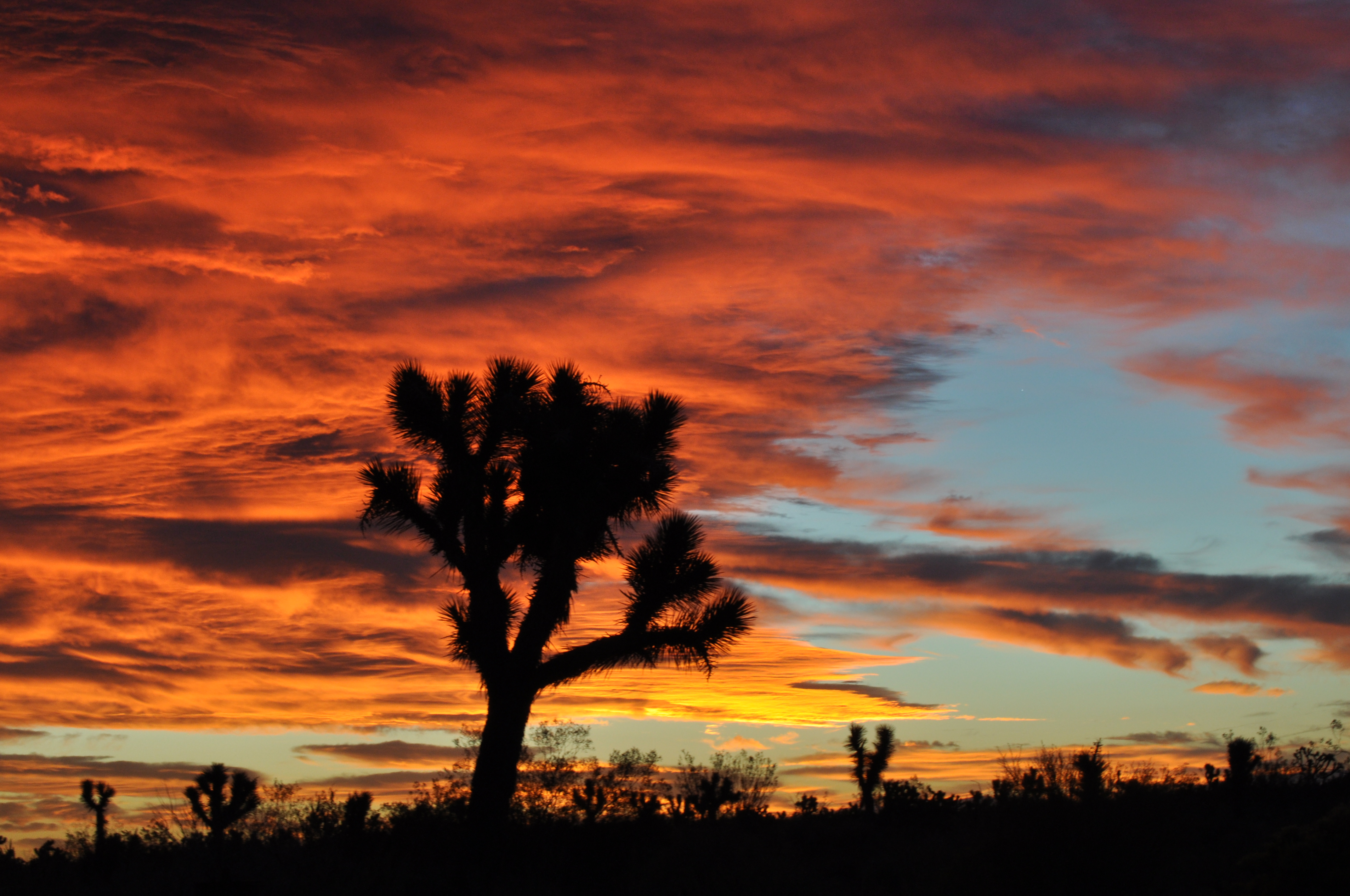
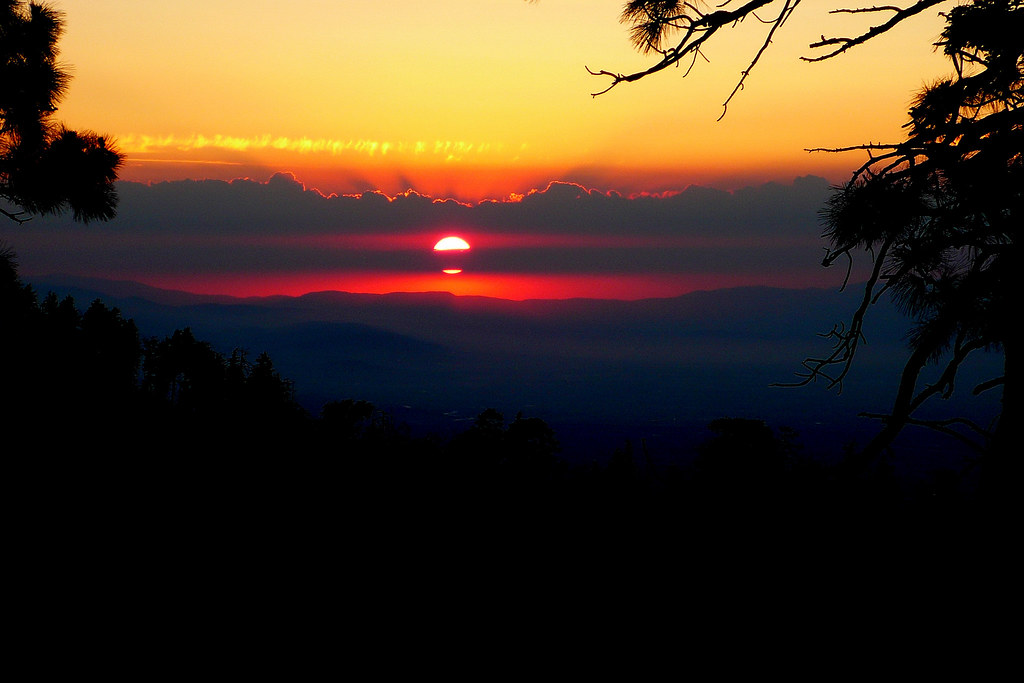
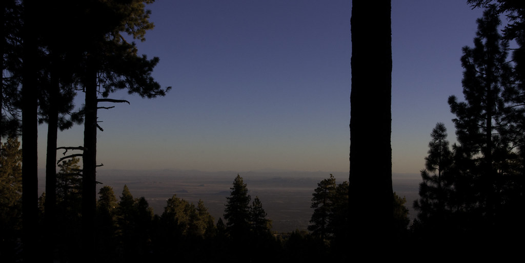
Pearblossom Highway Sunset
Riding The Storm Out
Autumn at Jackson Lake
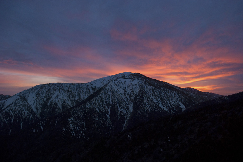
Sunset over the San Gabriel and Pleasant View Ridge Wilderness Areas
Another #sunset in the books.
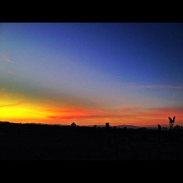
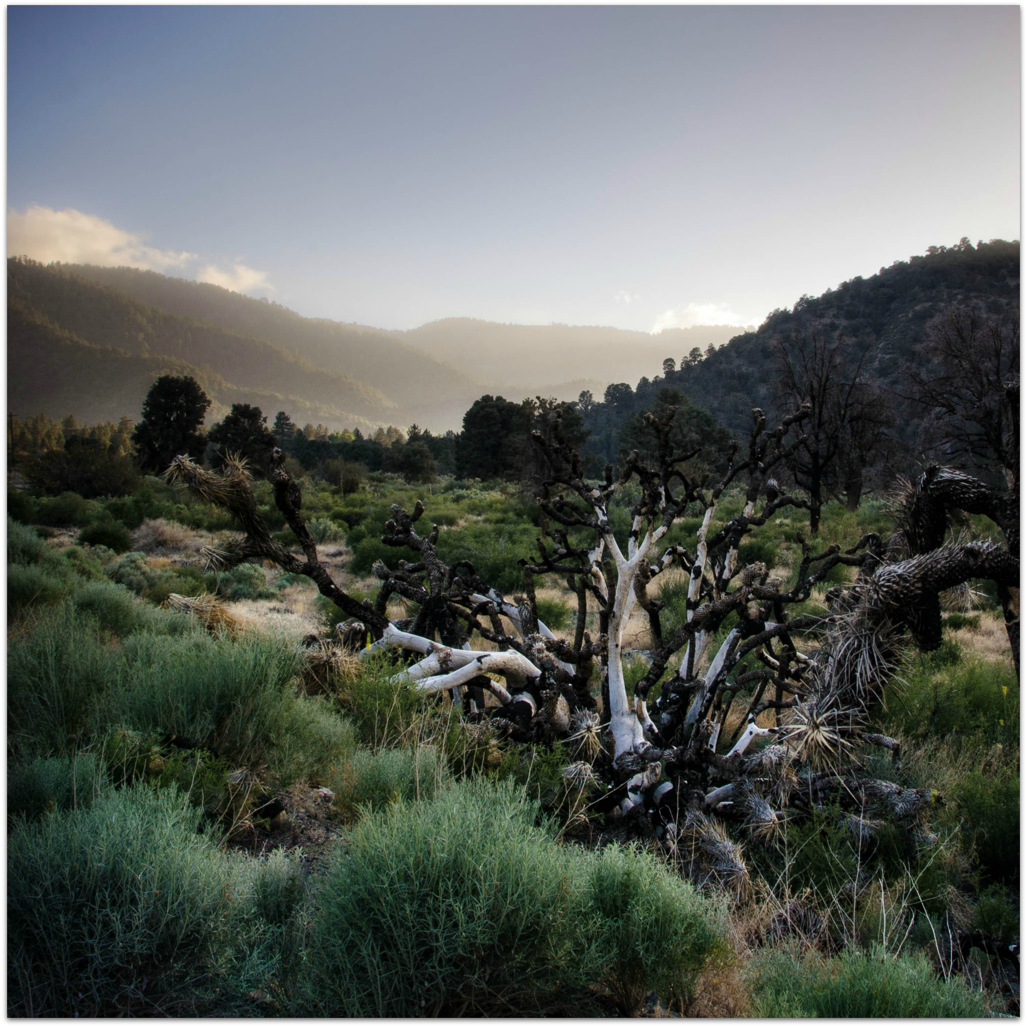
Joshua fire sky
Toward Big Bear

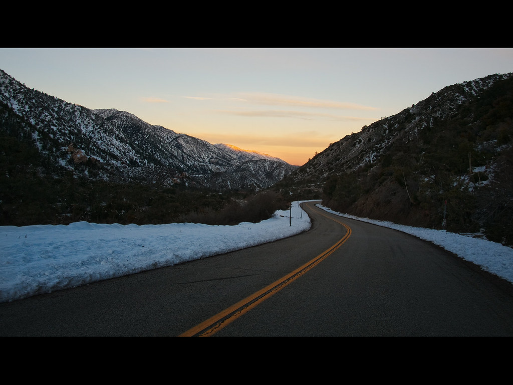
Wrightwood Mountains, California.

Chasing the son w/ @emmvelasquez and I think we won! #sunset #wrightwood #photolife #sunchasers
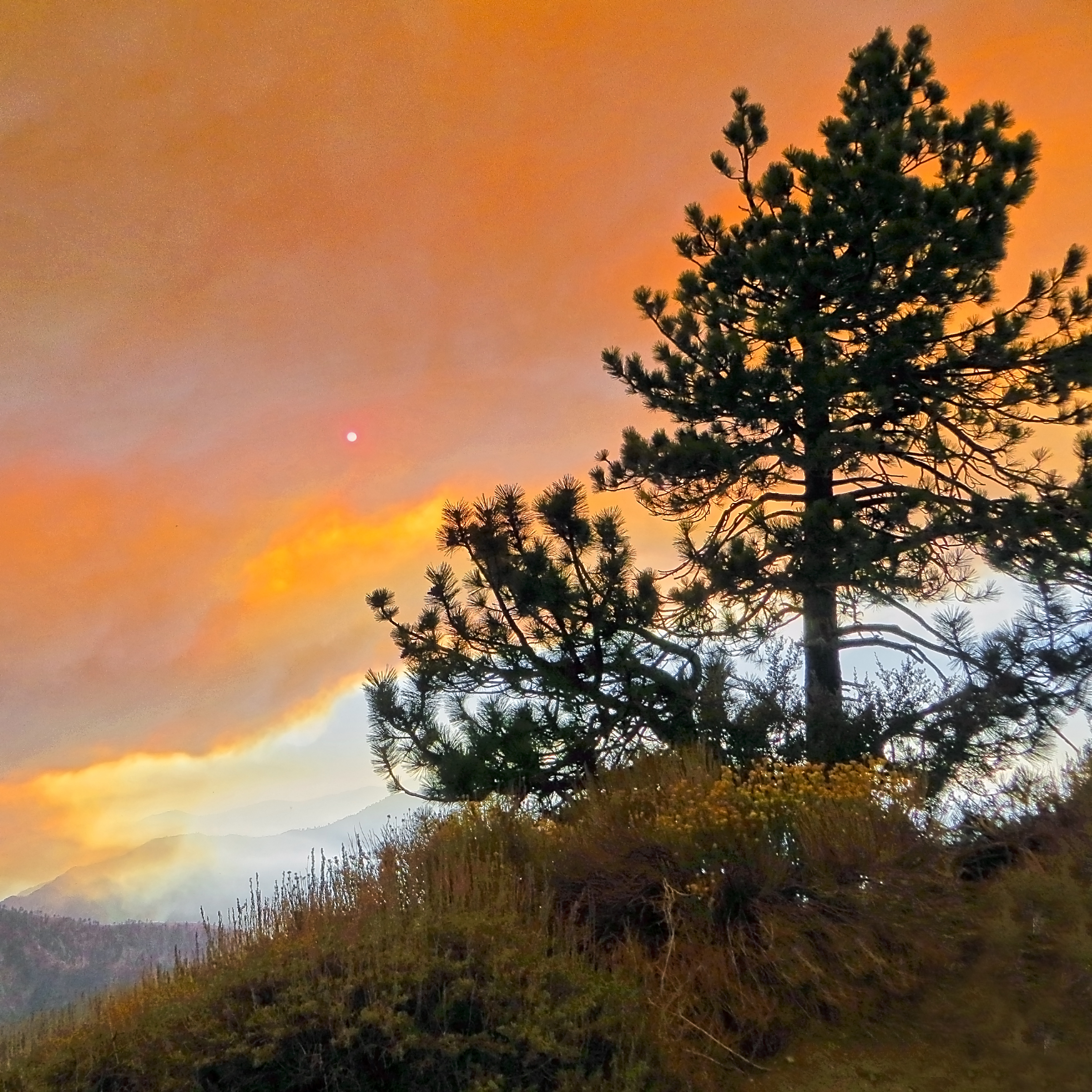
Fire! on the Mountain
Summer Sunset
Dome sunrise
Fire on the Mountain!
Fire on the Mountain!
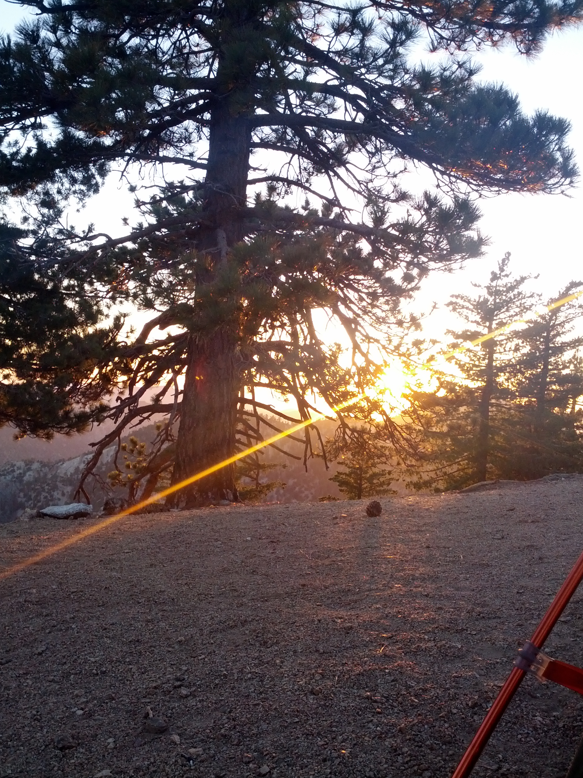
sunset from the campsite
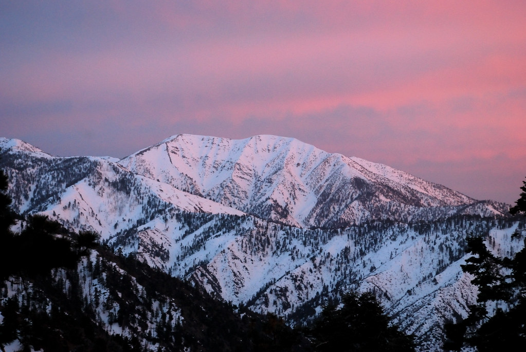
Alpenglow on Mt. San Antonio
Angeles Sunset

Fire on the Mountain!
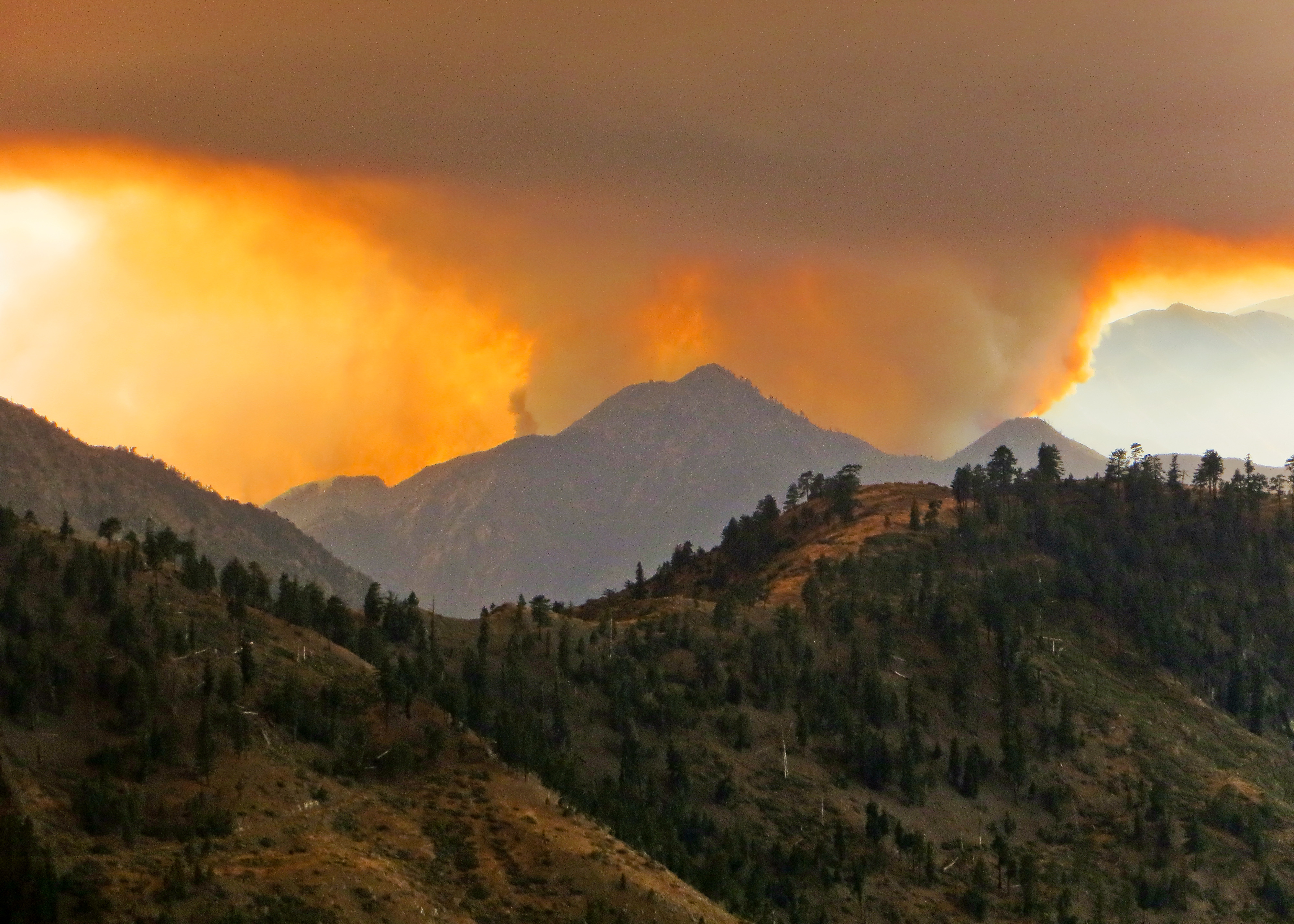
Fire on the Mountain!
Orange Clouds Over Mt. Baden-Powell
wrightwood vicinity
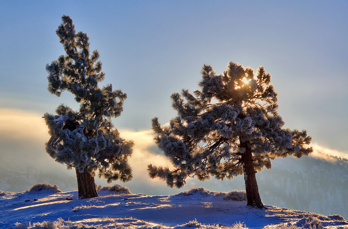
Snowy Sunrise

So Cold!
Canyon Light
Desert View
Many a memory...
アメリカ合衆国 カリフォルニア州 ピノン・ヒルズの地図
別の場所を検索
アメリカ合衆国 カリフォルニア州 ピノン・ヒルズでの場所
近所の場所
Oasis Rd, Pinon Hills, CA アメリカ合衆国United States Postal Service
Juniper Rd, Pinon Hills, CA アメリカ合衆国
アメリカ合衆国 〒 カリフォルニア州 ピノン・ヒルズ
Green Rd, Pinon Hills, CA アメリカ合衆国
Desert View Rd, Pinon Hills, CA アメリカ合衆国
Trinity Rd, Pinon Hills, CA アメリカ合衆国
Arrowhead Dr, Pinon Hills, CA アメリカ合衆国
アメリカ合衆国 カリフォルニア州 スノーライン・ジョイント・ユニファイ・スクール・ディストリクト
78 Big Pines Hwy, Wrightwood, CA アメリカ合衆国Wrightwood Guest Ranch
Swallow Hill Dr, Llano, CA アメリカ合衆国
Mountain View Ave, Wrightwood, CA アメリカ合衆国マウンテン・ビュー・アベニュー
Cardinal Rd, Wrightwood, CA アメリカ合衆国
Logwood Dr, Llano, CA アメリカ合衆国
アメリカ合衆国 〒 カリフォルニア州 ビッグ・パインズ
アメリカ合衆国 〒 カリフォルニア州Big Pines Visitor Center Interpretive Site
Trinity Rd, Phelan, CA アメリカ合衆国
Lark Dr, Wrightwood, CA アメリカ合衆国
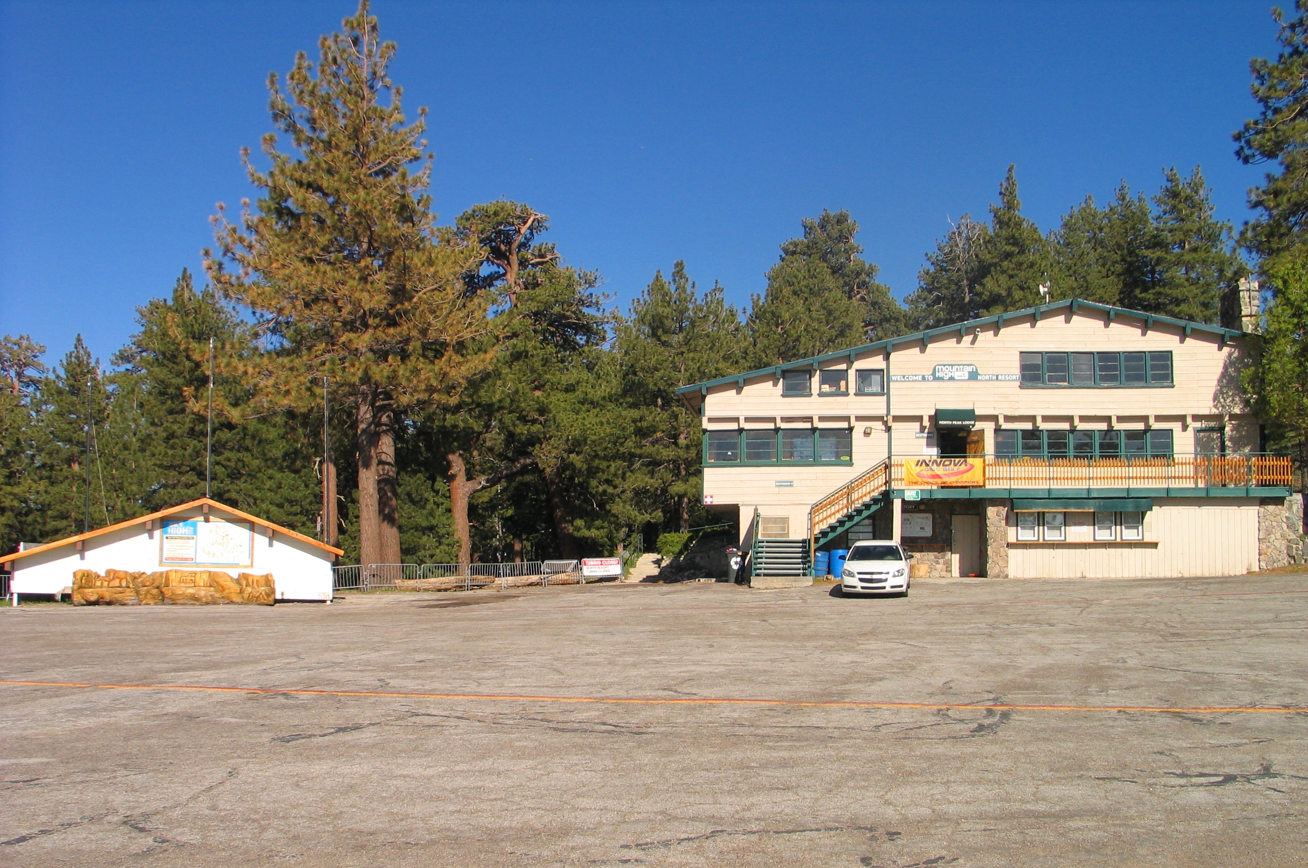
CA-2, Wrightwood, CA アメリカ合衆国Mountain High Resort
CA-2, Wrightwood, CA アメリカ合衆国Mountain High Resort
アメリカ合衆国 カリフォルニア州 ワイトウッド
最近の検索
- 台湾 宜蘭県 大同郷Jialuohu日の出日の入り時間
- 日本、〒- 愛媛県今治市関前大下大下港日の出日の入り時間
- 日本、〒- 愛媛県今治市関前大下1930−1大下港フェリー乗り場日の出日の入り時間
- San Telmo, Buenos Aires, Argentina日の出日の入り時間
- Congressional Dr, Stevensville, MD アメリカ合衆国日の出日の入り時間
- ギリシャ 〒 04 パピンゴ日の出日の入り時間
- Kranto 7-oji g. 8"N, Kaunas, リトアニアPagonija rock日の出日の入り時間
- Co Rd 87, Jamestown, CO, USA日の出日の入り時間
- コロンビア クンディナマルカ テンホ日の出日の入り時間
- 日本、〒- 千葉県市原市五所1966−1日の出日の入り時間