アメリカ合衆国 モンタナ州 ピクチャー・リッジ日の出日の入り時間
Location: アメリカ合衆国 > モンタナ州 > フラットヘッド >
時間帯:
America/Denver
現地時間:
2024-05-06 04:26:29
経度:
-113.4619444
緯度:
47.7638888
今日の日の出時刻:
06:06:38 AM
今日の日の入時刻:
08:54:10 PM
今日の日長:
14h 47m 32s
明日の日の出時刻:
06:05:10 AM
明日の日の入時刻:
08:55:31 PM
明日の日長:
14h 50m 21s
すべて表示する
| 日付 | 日出 | 日没 | 日長 |
|---|---|---|---|
| 2024年01月01日 | 08:22:32 AM | 04:52:51 PM | 8h 30m 19s |
| 2024年01月02日 | 08:22:28 AM | 04:53:51 PM | 8h 31m 23s |
| 2024年01月03日 | 08:22:21 AM | 04:54:53 PM | 8h 32m 32s |
| 2024年01月04日 | 08:22:11 AM | 04:55:57 PM | 8h 33m 46s |
| 2024年01月05日 | 08:21:58 AM | 04:57:03 PM | 8h 35m 5s |
| 2024年01月06日 | 08:21:43 AM | 04:58:11 PM | 8h 36m 28s |
| 2024年01月07日 | 08:21:24 AM | 04:59:20 PM | 8h 37m 56s |
| 2024年01月08日 | 08:21:03 AM | 05:00:32 PM | 8h 39m 29s |
| 2024年01月09日 | 08:20:39 AM | 05:01:46 PM | 8h 41m 7s |
| 2024年01月10日 | 08:20:12 AM | 05:03:01 PM | 8h 42m 49s |
| 2024年01月11日 | 08:19:42 AM | 05:04:17 PM | 8h 44m 35s |
| 2024年01月12日 | 08:19:10 AM | 05:05:35 PM | 8h 46m 25s |
| 2024年01月13日 | 08:18:35 AM | 05:06:55 PM | 8h 48m 20s |
| 2024年01月14日 | 08:17:57 AM | 05:08:16 PM | 8h 50m 19s |
| 2024年01月15日 | 08:17:17 AM | 05:09:38 PM | 8h 52m 21s |
| 2024年01月16日 | 08:16:34 AM | 05:11:02 PM | 8h 54m 28s |
| 2024年01月17日 | 08:15:48 AM | 05:12:26 PM | 8h 56m 38s |
| 2024年01月18日 | 08:15:00 AM | 05:13:52 PM | 8h 58m 52s |
| 2024年01月19日 | 08:14:10 AM | 05:15:19 PM | 9h 1m 9s |
| 2024年01月20日 | 08:13:17 AM | 05:16:46 PM | 9h 3m 29s |
| 2024年01月21日 | 08:12:21 AM | 05:18:15 PM | 9h 5m 54s |
| 2024年01月22日 | 08:11:24 AM | 05:19:44 PM | 9h 8m 20s |
| 2024年01月23日 | 08:10:24 AM | 05:21:14 PM | 9h 10m 50s |
| 2024年01月24日 | 08:09:21 AM | 05:22:45 PM | 9h 13m 24s |
| 2024年01月25日 | 08:08:17 AM | 05:24:17 PM | 9h 16m 0s |
| 2024年01月26日 | 08:07:10 AM | 05:25:49 PM | 9h 18m 39s |
| 2024年01月27日 | 08:06:01 AM | 05:27:21 PM | 9h 21m 20s |
| 2024年01月28日 | 08:04:50 AM | 05:28:54 PM | 9h 24m 4s |
| 2024年01月29日 | 08:03:37 AM | 05:30:28 PM | 9h 26m 51s |
| 2024年01月30日 | 08:02:22 AM | 05:32:02 PM | 9h 29m 40s |
| 2024年01月31日 | 08:01:05 AM | 05:33:36 PM | 9h 32m 31s |
| 2024年02月01日 | 07:59:47 AM | 05:35:10 PM | 9h 35m 23s |
| 2024年02月02日 | 07:58:26 AM | 05:36:45 PM | 9h 38m 19s |
| 2024年02月03日 | 07:57:03 AM | 05:38:20 PM | 9h 41m 17s |
| 2024年02月04日 | 07:55:39 AM | 05:39:55 PM | 9h 44m 16s |
| 2024年02月05日 | 07:54:13 AM | 05:41:30 PM | 9h 47m 17s |
| 2024年02月06日 | 07:52:45 AM | 05:43:05 PM | 9h 50m 20s |
| 2024年02月07日 | 07:51:16 AM | 05:44:40 PM | 9h 53m 24s |
| 2024年02月08日 | 07:49:45 AM | 05:46:15 PM | 9h 56m 30s |
| 2024年02月09日 | 07:48:13 AM | 05:47:51 PM | 9h 59m 38s |
| 2024年02月10日 | 07:46:39 AM | 05:49:26 PM | 10h 2m 47s |
| 2024年02月11日 | 07:45:03 AM | 05:51:01 PM | 10h 5m 58s |
| 2024年02月12日 | 07:43:27 AM | 05:52:36 PM | 10h 9m 9s |
| 2024年02月13日 | 07:41:48 AM | 05:54:11 PM | 10h 12m 23s |
| 2024年02月14日 | 07:40:09 AM | 05:55:45 PM | 10h 15m 36s |
| 2024年02月15日 | 07:38:28 AM | 05:57:20 PM | 10h 18m 52s |
| 2024年02月16日 | 07:36:46 AM | 05:58:54 PM | 10h 22m 8s |
| 2024年02月17日 | 07:35:03 AM | 06:00:28 PM | 10h 25m 25s |
| 2024年02月18日 | 07:33:18 AM | 06:02:02 PM | 10h 28m 44s |
| 2024年02月19日 | 07:31:33 AM | 06:03:36 PM | 10h 32m 3s |
| 2024年02月20日 | 07:29:46 AM | 06:05:10 PM | 10h 35m 24s |
| 2024年02月21日 | 07:27:59 AM | 06:06:43 PM | 10h 38m 44s |
| 2024年02月22日 | 07:26:10 AM | 06:08:16 PM | 10h 42m 6s |
| 2024年02月23日 | 07:24:20 AM | 06:09:48 PM | 10h 45m 28s |
| 2024年02月24日 | 07:22:30 AM | 06:11:21 PM | 10h 48m 51s |
| 2024年02月25日 | 07:20:39 AM | 06:12:53 PM | 10h 52m 14s |
| 2024年02月26日 | 07:18:46 AM | 06:14:25 PM | 10h 55m 39s |
| 2024年02月27日 | 07:16:53 AM | 06:15:57 PM | 10h 59m 4s |
| 2024年02月28日 | 07:14:59 AM | 06:17:28 PM | 11h 2m 29s |
| 2024年02月29日 | 07:13:05 AM | 06:18:59 PM | 11h 5m 54s |
| 2024年03月01日 | 07:11:09 AM | 06:20:30 PM | 11h 9m 21s |
| 2024年03月02日 | 07:09:14 AM | 06:22:00 PM | 11h 12m 46s |
| 2024年03月03日 | 07:07:17 AM | 06:23:31 PM | 11h 16m 14s |
| 2024年03月04日 | 07:05:20 AM | 06:25:01 PM | 11h 19m 41s |
| 2024年03月05日 | 07:03:22 AM | 06:26:30 PM | 11h 23m 8s |
| 2024年03月06日 | 07:01:24 AM | 06:28:00 PM | 11h 26m 36s |
| 2024年03月07日 | 06:59:25 AM | 06:29:29 PM | 11h 30m 4s |
| 2024年03月08日 | 06:57:26 AM | 06:30:58 PM | 11h 33m 32s |
| 2024年03月09日 | 06:55:26 AM | 06:32:26 PM | 11h 37m 0s |
| 2024年03月10日 | 07:53:31 AM | 07:33:51 PM | 11h 40m 20s |
| 2024年03月11日 | 07:51:31 AM | 07:35:19 PM | 11h 43m 48s |
| 2024年03月12日 | 07:49:30 AM | 07:36:48 PM | 11h 47m 18s |
| 2024年03月13日 | 07:47:29 AM | 07:38:15 PM | 11h 50m 46s |
| 2024年03月14日 | 07:45:27 AM | 07:39:43 PM | 11h 54m 16s |
| 2024年03月15日 | 07:43:26 AM | 07:41:10 PM | 11h 57m 44s |
| 2024年03月16日 | 07:41:24 AM | 07:42:38 PM | 12h 1m 14s |
| 2024年03月17日 | 07:39:22 AM | 07:44:05 PM | 12h 4m 43s |
| 2024年03月18日 | 07:37:20 AM | 07:45:32 PM | 12h 8m 12s |
| 2024年03月19日 | 07:35:18 AM | 07:46:58 PM | 12h 11m 40s |
| 2024年03月20日 | 07:33:16 AM | 07:48:25 PM | 12h 15m 9s |
| 2024年03月21日 | 07:31:13 AM | 07:49:51 PM | 12h 18m 38s |
| 2024年03月22日 | 07:29:11 AM | 07:51:18 PM | 12h 22m 7s |
| 2024年03月23日 | 07:27:08 AM | 07:52:44 PM | 12h 25m 36s |
| 2024年03月24日 | 07:25:06 AM | 07:54:10 PM | 12h 29m 4s |
| 2024年03月25日 | 07:23:04 AM | 07:55:36 PM | 12h 32m 32s |
| 2024年03月26日 | 07:21:02 AM | 07:57:02 PM | 12h 36m 0s |
| 2024年03月27日 | 07:19:00 AM | 07:58:28 PM | 12h 39m 28s |
| 2024年03月28日 | 07:16:58 AM | 07:59:53 PM | 12h 42m 55s |
| 2024年03月29日 | 07:14:56 AM | 08:01:19 PM | 12h 46m 23s |
| 2024年03月30日 | 07:12:55 AM | 08:02:45 PM | 12h 49m 50s |
| 2024年03月31日 | 07:10:54 AM | 08:04:10 PM | 12h 53m 16s |
| 2024年04月01日 | 07:08:53 AM | 08:05:36 PM | 12h 56m 43s |
| 2024年04月02日 | 07:06:52 AM | 08:07:02 PM | 13h 0m 10s |
| 2024年04月03日 | 07:04:52 AM | 08:08:27 PM | 13h 3m 35s |
| 2024年04月04日 | 07:02:52 AM | 08:09:52 PM | 13h 7m 0s |
| 2024年04月05日 | 07:00:53 AM | 08:11:18 PM | 13h 10m 25s |
| 2024年04月06日 | 06:58:54 AM | 08:12:43 PM | 13h 13m 49s |
| 2024年04月07日 | 06:56:56 AM | 08:14:09 PM | 13h 17m 13s |
| 2024年04月08日 | 06:54:58 AM | 08:15:34 PM | 13h 20m 36s |
| 2024年04月09日 | 06:53:00 AM | 08:17:00 PM | 13h 24m 0s |
| 2024年04月10日 | 06:51:03 AM | 08:18:25 PM | 13h 27m 22s |
| 2024年04月11日 | 06:49:07 AM | 08:19:50 PM | 13h 30m 43s |
| 2024年04月12日 | 06:47:12 AM | 08:21:16 PM | 13h 34m 4s |
| 2024年04月13日 | 06:45:17 AM | 08:22:41 PM | 13h 37m 24s |
| 2024年04月14日 | 06:43:23 AM | 08:24:06 PM | 13h 40m 43s |
| 2024年04月15日 | 06:41:29 AM | 08:25:32 PM | 13h 44m 3s |
| 2024年04月16日 | 06:39:37 AM | 08:26:57 PM | 13h 47m 20s |
| 2024年04月17日 | 06:37:45 AM | 08:28:22 PM | 13h 50m 37s |
| 2024年04月18日 | 06:35:54 AM | 08:29:47 PM | 13h 53m 53s |
| 2024年04月19日 | 06:34:04 AM | 08:31:13 PM | 13h 57m 9s |
| 2024年04月20日 | 06:32:15 AM | 08:32:38 PM | 14h 0m 23s |
| 2024年04月21日 | 06:30:27 AM | 08:34:03 PM | 14h 3m 36s |
| 2024年04月22日 | 06:28:40 AM | 08:35:28 PM | 14h 6m 48s |
| 2024年04月23日 | 06:26:54 AM | 08:36:53 PM | 14h 9m 59s |
| 2024年04月24日 | 06:25:09 AM | 08:38:17 PM | 14h 13m 8s |
| 2024年04月25日 | 06:23:25 AM | 08:39:42 PM | 14h 16m 17s |
| 2024年04月26日 | 06:21:42 AM | 08:41:06 PM | 14h 19m 24s |
| 2024年04月27日 | 06:20:00 AM | 08:42:31 PM | 14h 22m 31s |
| 2024年04月28日 | 06:18:20 AM | 08:43:55 PM | 14h 25m 35s |
| 2024年04月29日 | 06:16:41 AM | 08:45:19 PM | 14h 28m 38s |
| 2024年04月30日 | 06:15:03 AM | 08:46:42 PM | 14h 31m 39s |
| 2024年05月01日 | 06:13:27 AM | 08:48:06 PM | 14h 34m 39s |
| 2024年05月02日 | 06:11:52 AM | 08:49:29 PM | 14h 37m 37s |
| 2024年05月03日 | 06:10:18 AM | 08:50:51 PM | 14h 40m 33s |
| 2024年05月04日 | 06:08:46 AM | 08:52:14 PM | 14h 43m 28s |
| 2024年05月05日 | 06:07:16 AM | 08:53:36 PM | 14h 46m 20s |
| 2024年05月06日 | 06:05:47 AM | 08:54:57 PM | 14h 49m 10s |
| 2024年05月07日 | 06:04:19 AM | 08:56:19 PM | 14h 52m 0s |
| 2024年05月08日 | 06:02:53 AM | 08:57:39 PM | 14h 54m 46s |
| 2024年05月09日 | 06:01:29 AM | 08:58:59 PM | 14h 57m 30s |
| 2024年05月10日 | 06:00:07 AM | 09:00:19 PM | 15h 0m 12s |
| 2024年05月11日 | 05:58:46 AM | 09:01:38 PM | 15h 2m 52s |
| 2024年05月12日 | 05:57:27 AM | 09:02:56 PM | 15h 5m 29s |
| 2024年05月13日 | 05:56:10 AM | 09:04:14 PM | 15h 8m 4s |
| 2024年05月14日 | 05:54:55 AM | 09:05:31 PM | 15h 10m 36s |
| 2024年05月15日 | 05:53:42 AM | 09:06:47 PM | 15h 13m 5s |
| 2024年05月16日 | 05:52:30 AM | 09:08:02 PM | 15h 15m 32s |
| 2024年05月17日 | 05:51:21 AM | 09:09:16 PM | 15h 17m 55s |
| 2024年05月18日 | 05:50:14 AM | 09:10:30 PM | 15h 20m 16s |
| 2024年05月19日 | 05:49:09 AM | 09:11:42 PM | 15h 22m 33s |
| 2024年05月20日 | 05:48:05 AM | 09:12:53 PM | 15h 24m 48s |
| 2024年05月21日 | 05:47:04 AM | 09:14:04 PM | 15h 27m 0s |
| 2024年05月22日 | 05:46:06 AM | 09:15:13 PM | 15h 29m 7s |
| 2024年05月23日 | 05:45:09 AM | 09:16:21 PM | 15h 31m 12s |
| 2024年05月24日 | 05:44:15 AM | 09:17:27 PM | 15h 33m 12s |
| 2024年05月25日 | 05:43:23 AM | 09:18:33 PM | 15h 35m 10s |
| 2024年05月26日 | 05:42:33 AM | 09:19:37 PM | 15h 37m 4s |
| 2024年05月27日 | 05:41:46 AM | 09:20:39 PM | 15h 38m 53s |
| 2024年05月28日 | 05:41:01 AM | 09:21:40 PM | 15h 40m 39s |
| 2024年05月29日 | 05:40:19 AM | 09:22:40 PM | 15h 42m 21s |
| 2024年05月30日 | 05:39:38 AM | 09:23:38 PM | 15h 44m 0s |
| 2024年05月31日 | 05:39:01 AM | 09:24:34 PM | 15h 45m 33s |
| 2024年06月01日 | 05:38:26 AM | 09:25:28 PM | 15h 47m 2s |
| 2024年06月02日 | 05:37:53 AM | 09:26:21 PM | 15h 48m 28s |
| 2024年06月03日 | 05:37:23 AM | 09:27:12 PM | 15h 49m 49s |
| 2024年06月04日 | 05:36:55 AM | 09:28:01 PM | 15h 51m 6s |
| 2024年06月05日 | 05:36:30 AM | 09:28:48 PM | 15h 52m 18s |
| 2024年06月06日 | 05:36:08 AM | 09:29:33 PM | 15h 53m 25s |
| 2024年06月07日 | 05:35:48 AM | 09:30:16 PM | 15h 54m 28s |
| 2024年06月08日 | 05:35:31 AM | 09:30:57 PM | 15h 55m 26s |
| 2024年06月09日 | 05:35:16 AM | 09:31:36 PM | 15h 56m 20s |
| 2024年06月10日 | 05:35:04 AM | 09:32:12 PM | 15h 57m 8s |
| 2024年06月11日 | 05:34:55 AM | 09:32:46 PM | 15h 57m 51s |
| 2024年06月12日 | 05:34:48 AM | 09:33:19 PM | 15h 58m 31s |
| 2024年06月13日 | 05:34:43 AM | 09:33:48 PM | 15h 59m 5s |
| 2024年06月14日 | 05:34:42 AM | 09:34:16 PM | 15h 59m 34s |
| 2024年06月15日 | 05:34:43 AM | 09:34:41 PM | 15h 59m 58s |
| 2024年06月16日 | 05:34:46 AM | 09:35:03 PM | 16h 0m 17s |
| 2024年06月17日 | 05:34:52 AM | 09:35:23 PM | 16h 0m 31s |
| 2024年06月18日 | 05:35:01 AM | 09:35:41 PM | 16h 0m 40s |
| 2024年06月19日 | 05:35:12 AM | 09:35:56 PM | 16h 0m 44s |
| 2024年06月20日 | 05:35:25 AM | 09:36:09 PM | 16h 0m 44s |
| 2024年06月21日 | 05:35:41 AM | 09:36:18 PM | 16h 0m 37s |
| 2024年06月22日 | 05:36:00 AM | 09:36:26 PM | 16h 0m 26s |
| 2024年06月23日 | 05:36:21 AM | 09:36:31 PM | 16h 0m 10s |
| 2024年06月24日 | 05:36:44 AM | 09:36:33 PM | 15h 59m 49s |
| 2024年06月25日 | 05:37:10 AM | 09:36:32 PM | 15h 59m 22s |
| 2024年06月26日 | 05:37:38 AM | 09:36:29 PM | 15h 58m 51s |
| 2024年06月27日 | 05:38:08 AM | 09:36:23 PM | 15h 58m 15s |
| 2024年06月28日 | 05:38:40 AM | 09:36:15 PM | 15h 57m 35s |
| 2024年06月29日 | 05:39:15 AM | 09:36:04 PM | 15h 56m 49s |
| 2024年06月30日 | 05:39:52 AM | 09:35:50 PM | 15h 55m 58s |
| 2024年07月01日 | 05:40:30 AM | 09:35:34 PM | 15h 55m 4s |
| 2024年07月02日 | 05:41:11 AM | 09:35:15 PM | 15h 54m 4s |
| 2024年07月03日 | 05:41:54 AM | 09:34:53 PM | 15h 52m 59s |
| 2024年07月04日 | 05:42:39 AM | 09:34:29 PM | 15h 51m 50s |
| 2024年07月05日 | 05:43:26 AM | 09:34:02 PM | 15h 50m 36s |
| 2024年07月06日 | 05:44:14 AM | 09:33:33 PM | 15h 49m 19s |
| 2024年07月07日 | 05:45:04 AM | 09:33:01 PM | 15h 47m 57s |
| 2024年07月08日 | 05:45:57 AM | 09:32:27 PM | 15h 46m 30s |
| 2024年07月09日 | 05:46:50 AM | 09:31:49 PM | 15h 44m 59s |
| 2024年07月10日 | 05:47:45 AM | 09:31:10 PM | 15h 43m 25s |
| 2024年07月11日 | 05:48:42 AM | 09:30:28 PM | 15h 41m 46s |
| 2024年07月12日 | 05:49:41 AM | 09:29:43 PM | 15h 40m 2s |
| 2024年07月13日 | 05:50:40 AM | 09:28:57 PM | 15h 38m 17s |
| 2024年07月14日 | 05:51:42 AM | 09:28:07 PM | 15h 36m 25s |
| 2024年07月15日 | 05:52:44 AM | 09:27:16 PM | 15h 34m 32s |
| 2024年07月16日 | 05:53:48 AM | 09:26:22 PM | 15h 32m 34s |
| 2024年07月17日 | 05:54:53 AM | 09:25:26 PM | 15h 30m 33s |
| 2024年07月18日 | 05:55:59 AM | 09:24:27 PM | 15h 28m 28s |
| 2024年07月19日 | 05:57:06 AM | 09:23:26 PM | 15h 26m 20s |
| 2024年07月20日 | 05:58:15 AM | 09:22:23 PM | 15h 24m 8s |
| 2024年07月21日 | 05:59:24 AM | 09:21:18 PM | 15h 21m 54s |
| 2024年07月22日 | 06:00:34 AM | 09:20:11 PM | 15h 19m 37s |
| 2024年07月23日 | 06:01:45 AM | 09:19:02 PM | 15h 17m 17s |
| 2024年07月24日 | 06:02:57 AM | 09:17:51 PM | 15h 14m 54s |
| 2024年07月25日 | 06:04:10 AM | 09:16:38 PM | 15h 12m 28s |
| 2024年07月26日 | 06:05:24 AM | 09:15:22 PM | 15h 9m 58s |
| 2024年07月27日 | 06:06:38 AM | 09:14:05 PM | 15h 7m 27s |
| 2024年07月28日 | 06:07:53 AM | 09:12:46 PM | 15h 4m 53s |
| 2024年07月29日 | 06:09:08 AM | 09:11:26 PM | 15h 2m 18s |
| 2024年07月30日 | 06:10:24 AM | 09:10:03 PM | 14h 59m 39s |
| 2024年07月31日 | 06:11:41 AM | 09:08:39 PM | 14h 56m 58s |
| 2024年08月01日 | 06:12:58 AM | 09:07:13 PM | 14h 54m 15s |
| 2024年08月02日 | 06:14:15 AM | 09:05:45 PM | 14h 51m 30s |
| 2024年08月03日 | 06:15:33 AM | 09:04:16 PM | 14h 48m 43s |
| 2024年08月04日 | 06:16:51 AM | 09:02:45 PM | 14h 45m 54s |
| 2024年08月05日 | 06:18:10 AM | 09:01:13 PM | 14h 43m 3s |
| 2024年08月06日 | 06:19:29 AM | 08:59:39 PM | 14h 40m 10s |
| 2024年08月07日 | 06:20:48 AM | 08:58:03 PM | 14h 37m 15s |
| 2024年08月08日 | 06:22:08 AM | 08:56:26 PM | 14h 34m 18s |
| 2024年08月09日 | 06:23:28 AM | 08:54:48 PM | 14h 31m 20s |
| 2024年08月10日 | 06:24:47 AM | 08:53:09 PM | 14h 28m 22s |
| 2024年08月11日 | 06:26:08 AM | 08:51:28 PM | 14h 25m 20s |
| 2024年08月12日 | 06:27:28 AM | 08:49:46 PM | 14h 22m 18s |
| 2024年08月13日 | 06:28:48 AM | 08:48:03 PM | 14h 19m 15s |
| 2024年08月14日 | 06:30:09 AM | 08:46:18 PM | 14h 16m 9s |
| 2024年08月15日 | 06:31:29 AM | 08:44:33 PM | 14h 13m 4s |
| 2024年08月16日 | 06:32:50 AM | 08:42:46 PM | 14h 9m 56s |
| 2024年08月17日 | 06:34:11 AM | 08:40:58 PM | 14h 6m 47s |
| 2024年08月18日 | 06:35:32 AM | 08:39:09 PM | 14h 3m 37s |
| 2024年08月19日 | 06:36:52 AM | 08:37:20 PM | 14h 0m 28s |
| 2024年08月20日 | 06:38:13 AM | 08:35:29 PM | 13h 57m 16s |
| 2024年08月21日 | 06:39:34 AM | 08:33:37 PM | 13h 54m 3s |
| 2024年08月22日 | 06:40:55 AM | 08:31:45 PM | 13h 50m 50s |
| 2024年08月23日 | 06:42:16 AM | 08:29:51 PM | 13h 47m 35s |
| 2024年08月24日 | 06:43:37 AM | 08:27:57 PM | 13h 44m 20s |
| 2024年08月25日 | 06:44:58 AM | 08:26:02 PM | 13h 41m 4s |
| 2024年08月26日 | 06:46:19 AM | 08:24:06 PM | 13h 37m 47s |
| 2024年08月27日 | 06:47:39 AM | 08:22:10 PM | 13h 34m 31s |
| 2024年08月28日 | 06:49:00 AM | 08:20:13 PM | 13h 31m 13s |
| 2024年08月29日 | 06:50:21 AM | 08:18:15 PM | 13h 27m 54s |
| 2024年08月30日 | 06:51:42 AM | 08:16:16 PM | 13h 24m 34s |
| 2024年08月31日 | 06:53:03 AM | 08:14:17 PM | 13h 21m 14s |
| 2024年09月01日 | 06:54:23 AM | 08:12:18 PM | 13h 17m 55s |
| 2024年09月02日 | 06:55:44 AM | 08:10:18 PM | 13h 14m 34s |
| 2024年09月03日 | 06:57:05 AM | 08:08:17 PM | 13h 11m 12s |
| 2024年09月04日 | 06:58:25 AM | 08:06:16 PM | 13h 7m 51s |
| 2024年09月05日 | 06:59:46 AM | 08:04:15 PM | 13h 4m 29s |
| 2024年09月06日 | 07:01:07 AM | 08:02:13 PM | 13h 1m 6s |
| 2024年09月07日 | 07:02:28 AM | 08:00:11 PM | 12h 57m 43s |
| 2024年09月08日 | 07:03:48 AM | 07:58:08 PM | 12h 54m 20s |
| 2024年09月09日 | 07:05:09 AM | 07:56:06 PM | 12h 50m 57s |
| 2024年09月10日 | 07:06:30 AM | 07:54:03 PM | 12h 47m 33s |
| 2024年09月11日 | 07:07:51 AM | 07:51:59 PM | 12h 44m 8s |
| 2024年09月12日 | 07:09:11 AM | 07:49:56 PM | 12h 40m 45s |
| 2024年09月13日 | 07:10:32 AM | 07:47:52 PM | 12h 37m 20s |
| 2024年09月14日 | 07:11:53 AM | 07:45:48 PM | 12h 33m 55s |
| 2024年09月15日 | 07:13:14 AM | 07:43:44 PM | 12h 30m 30s |
| 2024年09月16日 | 07:14:35 AM | 07:41:40 PM | 12h 27m 5s |
| 2024年09月17日 | 07:15:57 AM | 07:39:36 PM | 12h 23m 39s |
| 2024年09月18日 | 07:17:18 AM | 07:37:32 PM | 12h 20m 14s |
| 2024年09月19日 | 07:18:40 AM | 07:35:28 PM | 12h 16m 48s |
| 2024年09月20日 | 07:20:01 AM | 07:33:24 PM | 12h 13m 23s |
| 2024年09月21日 | 07:21:23 AM | 07:31:20 PM | 12h 9m 57s |
| 2024年09月22日 | 07:22:45 AM | 07:29:16 PM | 12h 6m 31s |
| 2024年09月23日 | 07:24:07 AM | 07:27:12 PM | 12h 3m 5s |
| 2024年09月24日 | 07:25:29 AM | 07:25:08 PM | 11h 59m 39s |
| 2024年09月25日 | 07:26:51 AM | 07:23:05 PM | 11h 56m 14s |
| 2024年09月26日 | 07:28:14 AM | 07:21:02 PM | 11h 52m 48s |
| 2024年09月27日 | 07:29:36 AM | 07:18:59 PM | 11h 49m 23s |
| 2024年09月28日 | 07:30:59 AM | 07:16:56 PM | 11h 45m 57s |
| 2024年09月29日 | 07:32:23 AM | 07:14:54 PM | 11h 42m 31s |
| 2024年09月30日 | 07:33:46 AM | 07:12:52 PM | 11h 39m 6s |
| 2024年10月01日 | 07:35:10 AM | 07:10:50 PM | 11h 35m 40s |
| 2024年10月02日 | 07:36:34 AM | 07:08:49 PM | 11h 32m 15s |
| 2024年10月03日 | 07:37:58 AM | 07:06:48 PM | 11h 28m 50s |
| 2024年10月04日 | 07:39:22 AM | 07:04:48 PM | 11h 25m 26s |
| 2024年10月05日 | 07:40:47 AM | 07:02:48 PM | 11h 22m 1s |
| 2024年10月06日 | 07:42:12 AM | 07:00:48 PM | 11h 18m 36s |
| 2024年10月07日 | 07:43:37 AM | 06:58:50 PM | 11h 15m 13s |
| 2024年10月08日 | 07:45:03 AM | 06:56:51 PM | 11h 11m 48s |
| 2024年10月09日 | 07:46:28 AM | 06:54:54 PM | 11h 8m 26s |
| 2024年10月10日 | 07:47:54 AM | 06:52:57 PM | 11h 5m 3s |
| 2024年10月11日 | 07:49:21 AM | 06:51:01 PM | 11h 1m 40s |
| 2024年10月12日 | 07:50:48 AM | 06:49:05 PM | 10h 58m 17s |
| 2024年10月13日 | 07:52:15 AM | 06:47:11 PM | 10h 54m 56s |
| 2024年10月14日 | 07:53:42 AM | 06:45:17 PM | 10h 51m 35s |
| 2024年10月15日 | 07:55:09 AM | 06:43:24 PM | 10h 48m 15s |
| 2024年10月16日 | 07:56:37 AM | 06:41:32 PM | 10h 44m 55s |
| 2024年10月17日 | 07:58:06 AM | 06:39:41 PM | 10h 41m 35s |
| 2024年10月18日 | 07:59:34 AM | 06:37:50 PM | 10h 38m 16s |
| 2024年10月19日 | 08:01:03 AM | 06:36:01 PM | 10h 34m 58s |
| 2024年10月20日 | 08:02:32 AM | 06:34:13 PM | 10h 31m 41s |
| 2024年10月21日 | 08:04:01 AM | 06:32:26 PM | 10h 28m 25s |
| 2024年10月22日 | 08:05:31 AM | 06:30:40 PM | 10h 25m 9s |
| 2024年10月23日 | 08:07:01 AM | 06:28:55 PM | 10h 21m 54s |
| 2024年10月24日 | 08:08:31 AM | 06:27:11 PM | 10h 18m 40s |
| 2024年10月25日 | 08:10:01 AM | 06:25:29 PM | 10h 15m 28s |
| 2024年10月26日 | 08:11:32 AM | 06:23:48 PM | 10h 12m 16s |
| 2024年10月27日 | 08:13:02 AM | 06:22:08 PM | 10h 9m 6s |
| 2024年10月28日 | 08:14:33 AM | 06:20:29 PM | 10h 5m 56s |
| 2024年10月29日 | 08:16:04 AM | 06:18:52 PM | 10h 2m 48s |
| 2024年10月30日 | 08:17:36 AM | 06:17:16 PM | 9h 59m 40s |
| 2024年10月31日 | 08:19:07 AM | 06:15:42 PM | 9h 56m 35s |
| 2024年11月01日 | 08:20:38 AM | 06:14:10 PM | 9h 53m 32s |
| 2024年11月02日 | 08:22:10 AM | 06:12:38 PM | 9h 50m 28s |
| 2024年11月03日 | 07:23:45 AM | 05:11:05 PM | 9h 47m 20s |
| 2024年11月04日 | 07:25:16 AM | 05:09:38 PM | 9h 44m 22s |
| 2024年11月05日 | 07:26:48 AM | 05:08:12 PM | 9h 41m 24s |
| 2024年11月06日 | 07:28:19 AM | 05:06:47 PM | 9h 38m 28s |
| 2024年11月07日 | 07:29:50 AM | 05:05:25 PM | 9h 35m 35s |
| 2024年11月08日 | 07:31:21 AM | 05:04:04 PM | 9h 32m 43s |
| 2024年11月09日 | 07:32:52 AM | 05:02:46 PM | 9h 29m 54s |
| 2024年11月10日 | 07:34:23 AM | 05:01:29 PM | 9h 27m 6s |
| 2024年11月11日 | 07:35:53 AM | 05:00:14 PM | 9h 24m 21s |
| 2024年11月12日 | 07:37:23 AM | 04:59:01 PM | 9h 21m 38s |
| 2024年11月13日 | 07:38:53 AM | 04:57:51 PM | 9h 18m 58s |
| 2024年11月14日 | 07:40:22 AM | 04:56:42 PM | 9h 16m 20s |
| 2024年11月15日 | 07:41:50 AM | 04:55:36 PM | 9h 13m 46s |
| 2024年11月16日 | 07:43:18 AM | 04:54:32 PM | 9h 11m 14s |
| 2024年11月17日 | 07:44:46 AM | 04:53:30 PM | 9h 8m 44s |
| 2024年11月18日 | 07:46:13 AM | 04:52:30 PM | 9h 6m 17s |
| 2024年11月19日 | 07:47:39 AM | 04:51:33 PM | 9h 3m 54s |
| 2024年11月20日 | 07:49:04 AM | 04:50:38 PM | 9h 1m 34s |
| 2024年11月21日 | 07:50:29 AM | 04:49:46 PM | 8h 59m 17s |
| 2024年11月22日 | 07:51:52 AM | 04:48:56 PM | 8h 57m 4s |
| 2024年11月23日 | 07:53:15 AM | 04:48:09 PM | 8h 54m 54s |
| 2024年11月24日 | 07:54:36 AM | 04:47:24 PM | 8h 52m 48s |
| 2024年11月25日 | 07:55:57 AM | 04:46:42 PM | 8h 50m 45s |
| 2024年11月26日 | 07:57:16 AM | 04:46:02 PM | 8h 48m 46s |
| 2024年11月27日 | 07:58:34 AM | 04:45:25 PM | 8h 46m 51s |
| 2024年11月28日 | 07:59:50 AM | 04:44:51 PM | 8h 45m 1s |
| 2024年11月29日 | 08:01:06 AM | 04:44:19 PM | 8h 43m 13s |
| 2024年11月30日 | 08:02:19 AM | 04:43:51 PM | 8h 41m 32s |
| 2024年12月01日 | 08:03:32 AM | 04:43:25 PM | 8h 39m 53s |
| 2024年12月02日 | 08:04:42 AM | 04:43:02 PM | 8h 38m 20s |
| 2024年12月03日 | 08:05:51 AM | 04:42:42 PM | 8h 36m 51s |
| 2024年12月04日 | 08:06:58 AM | 04:42:24 PM | 8h 35m 26s |
| 2024年12月05日 | 08:08:04 AM | 04:42:10 PM | 8h 34m 6s |
| 2024年12月06日 | 08:09:07 AM | 04:41:58 PM | 8h 32m 51s |
| 2024年12月07日 | 08:10:09 AM | 04:41:50 PM | 8h 31m 41s |
| 2024年12月08日 | 08:11:08 AM | 04:41:44 PM | 8h 30m 36s |
| 2024年12月09日 | 08:12:05 AM | 04:41:41 PM | 8h 29m 36s |
| 2024年12月10日 | 08:13:01 AM | 04:41:41 PM | 8h 28m 40s |
| 2024年12月11日 | 08:13:54 AM | 04:41:44 PM | 8h 27m 50s |
| 2024年12月12日 | 08:14:44 AM | 04:41:50 PM | 8h 27m 6s |
| 2024年12月13日 | 08:15:33 AM | 04:41:59 PM | 8h 26m 26s |
| 2024年12月14日 | 08:16:19 AM | 04:42:11 PM | 8h 25m 52s |
| 2024年12月15日 | 08:17:02 AM | 04:42:26 PM | 8h 25m 24s |
| 2024年12月16日 | 08:17:43 AM | 04:42:44 PM | 8h 25m 1s |
| 2024年12月17日 | 08:18:22 AM | 04:43:04 PM | 8h 24m 42s |
| 2024年12月18日 | 08:18:58 AM | 04:43:28 PM | 8h 24m 30s |
| 2024年12月19日 | 08:19:31 AM | 04:43:54 PM | 8h 24m 23s |
| 2024年12月20日 | 08:20:01 AM | 04:44:23 PM | 8h 24m 22s |
| 2024年12月21日 | 08:20:29 AM | 04:44:55 PM | 8h 24m 26s |
| 2024年12月22日 | 08:20:54 AM | 04:45:30 PM | 8h 24m 36s |
| 2024年12月23日 | 08:21:17 AM | 04:46:07 PM | 8h 24m 50s |
| 2024年12月24日 | 08:21:36 AM | 04:46:47 PM | 8h 25m 11s |
| 2024年12月25日 | 08:21:53 AM | 04:47:29 PM | 8h 25m 36s |
| 2024年12月26日 | 08:22:07 AM | 04:48:14 PM | 8h 26m 7s |
| 2024年12月27日 | 08:22:18 AM | 04:49:02 PM | 8h 26m 44s |
| 2024年12月28日 | 08:22:26 AM | 04:49:52 PM | 8h 27m 26s |
| 2024年12月29日 | 08:22:31 AM | 04:50:45 PM | 8h 28m 14s |
| 2024年12月30日 | 08:22:33 AM | 04:51:39 PM | 8h 29m 6s |
写真

Silvertip sunset

Silvertip sunset

Sky on Fire

Silvertip sunset

Silvertip sunset
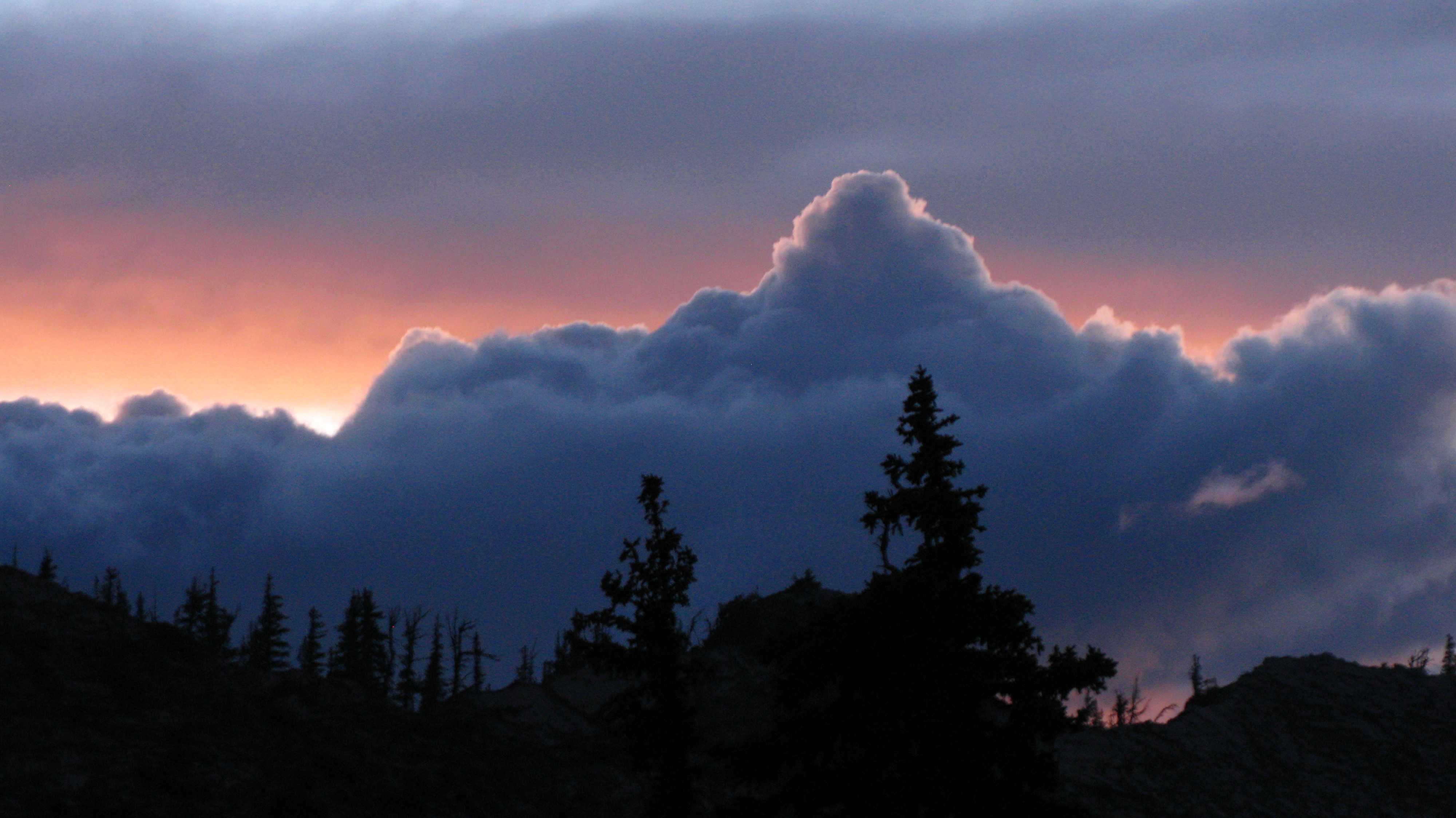
Storm of Mordor
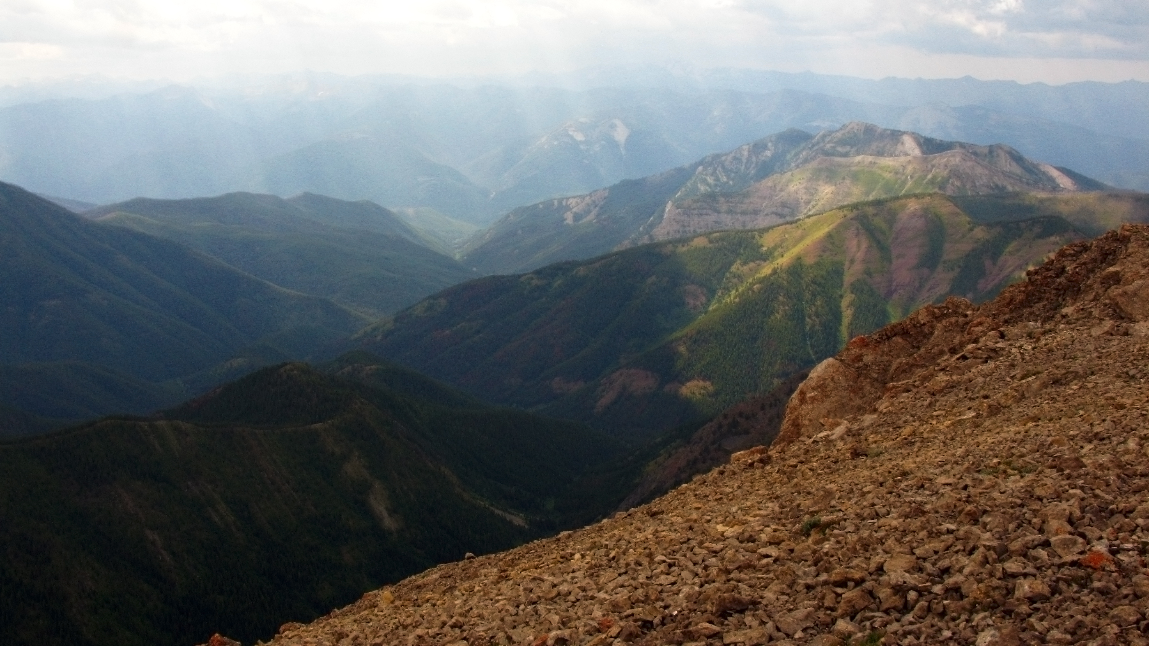
West view from Silvertip
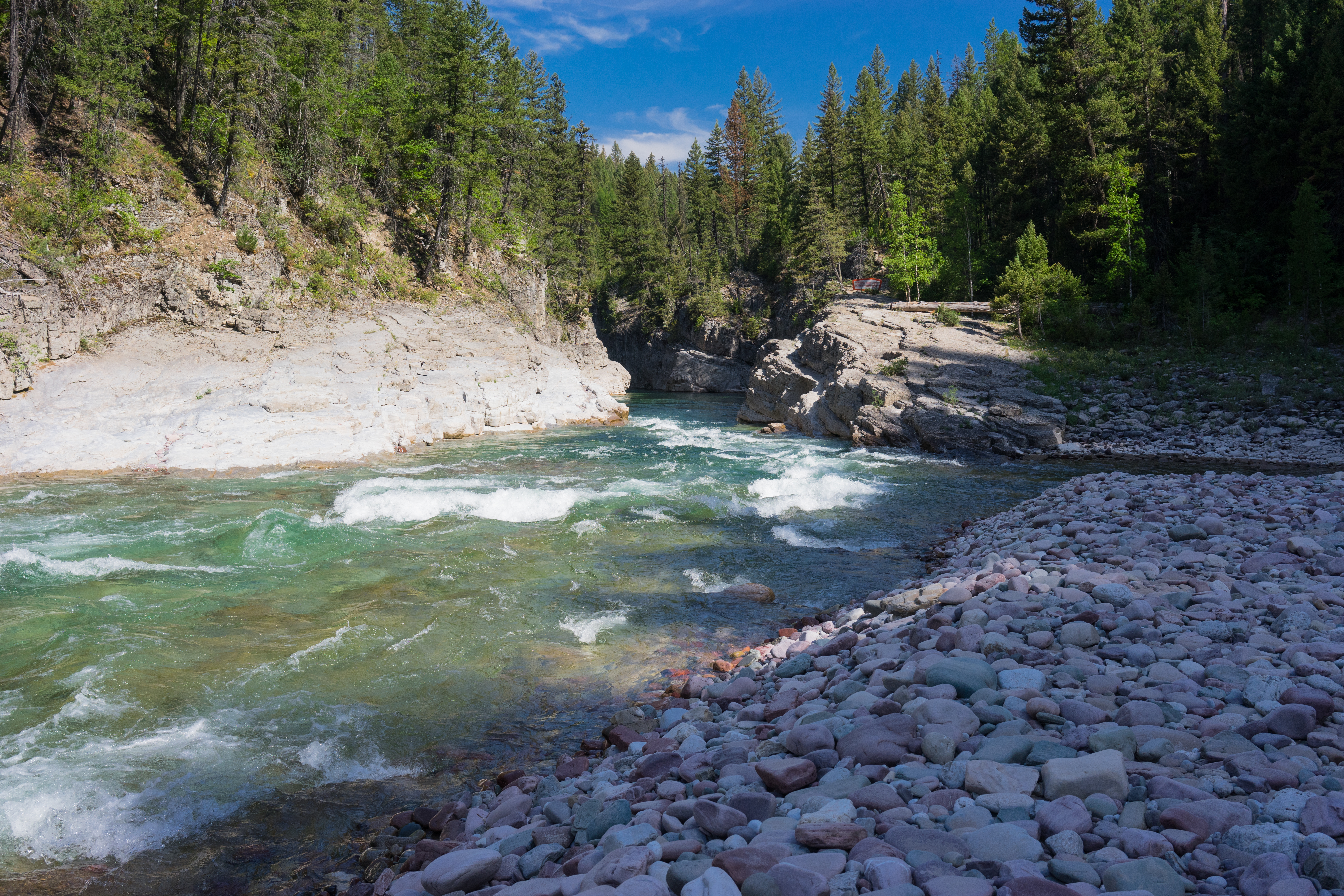
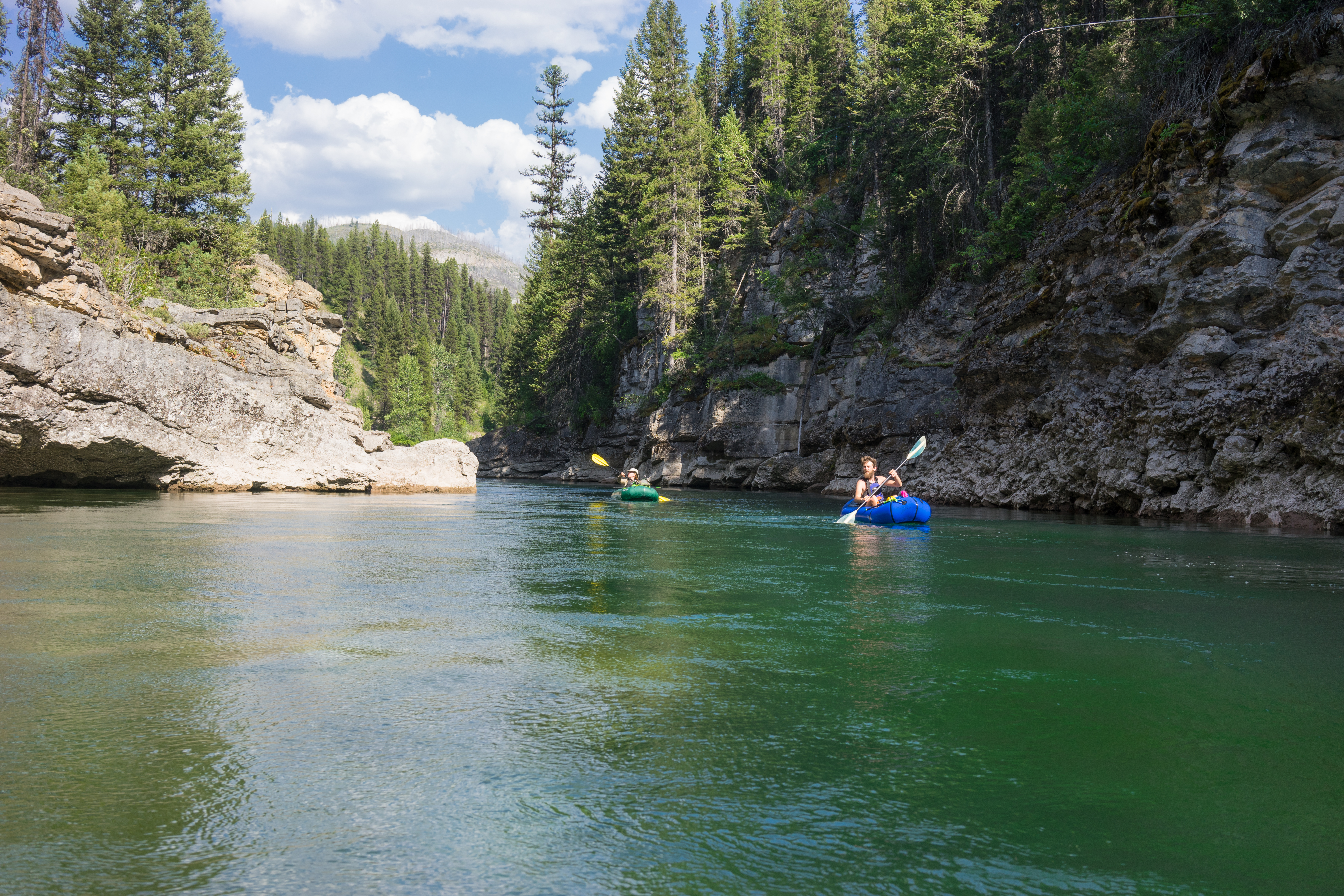
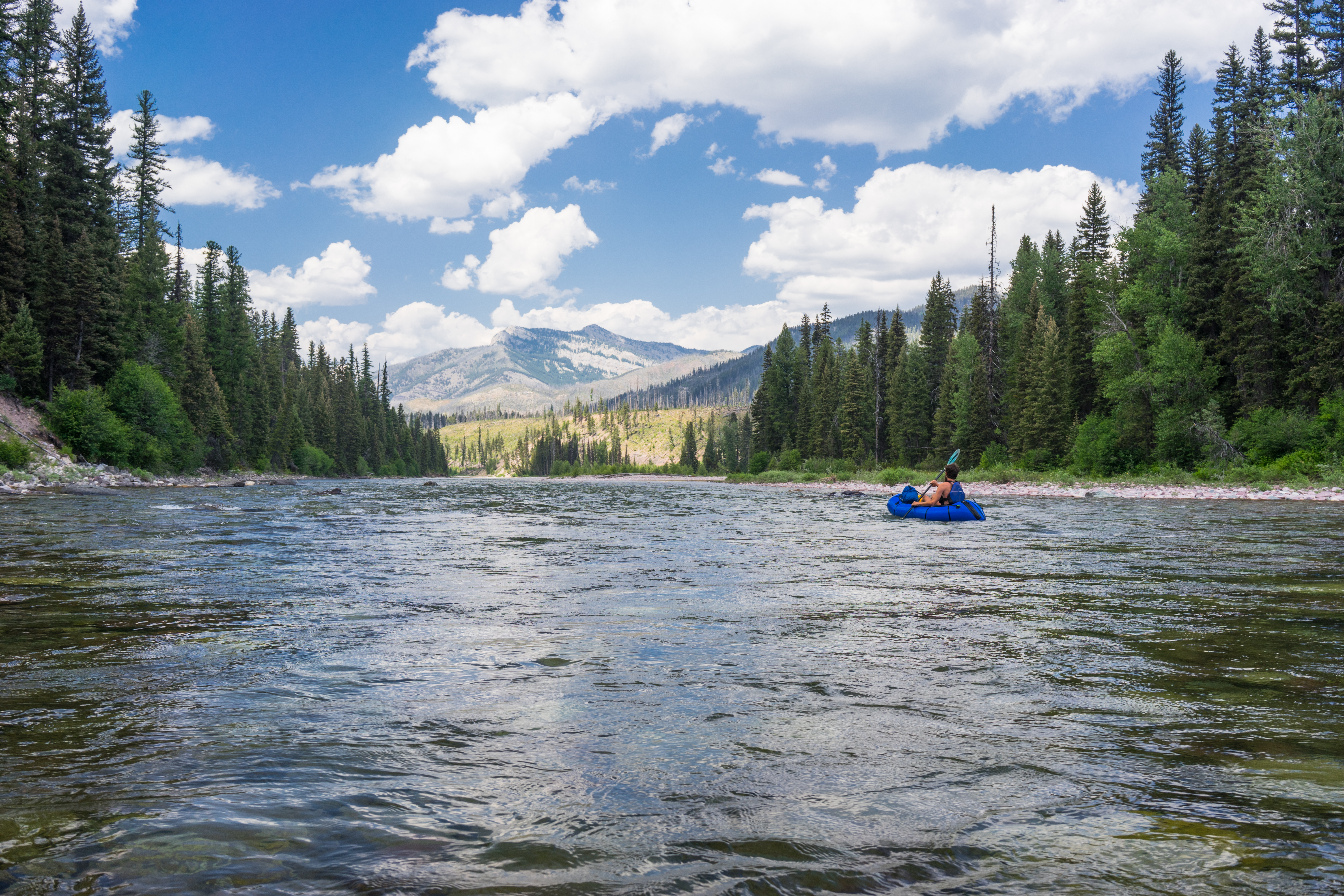
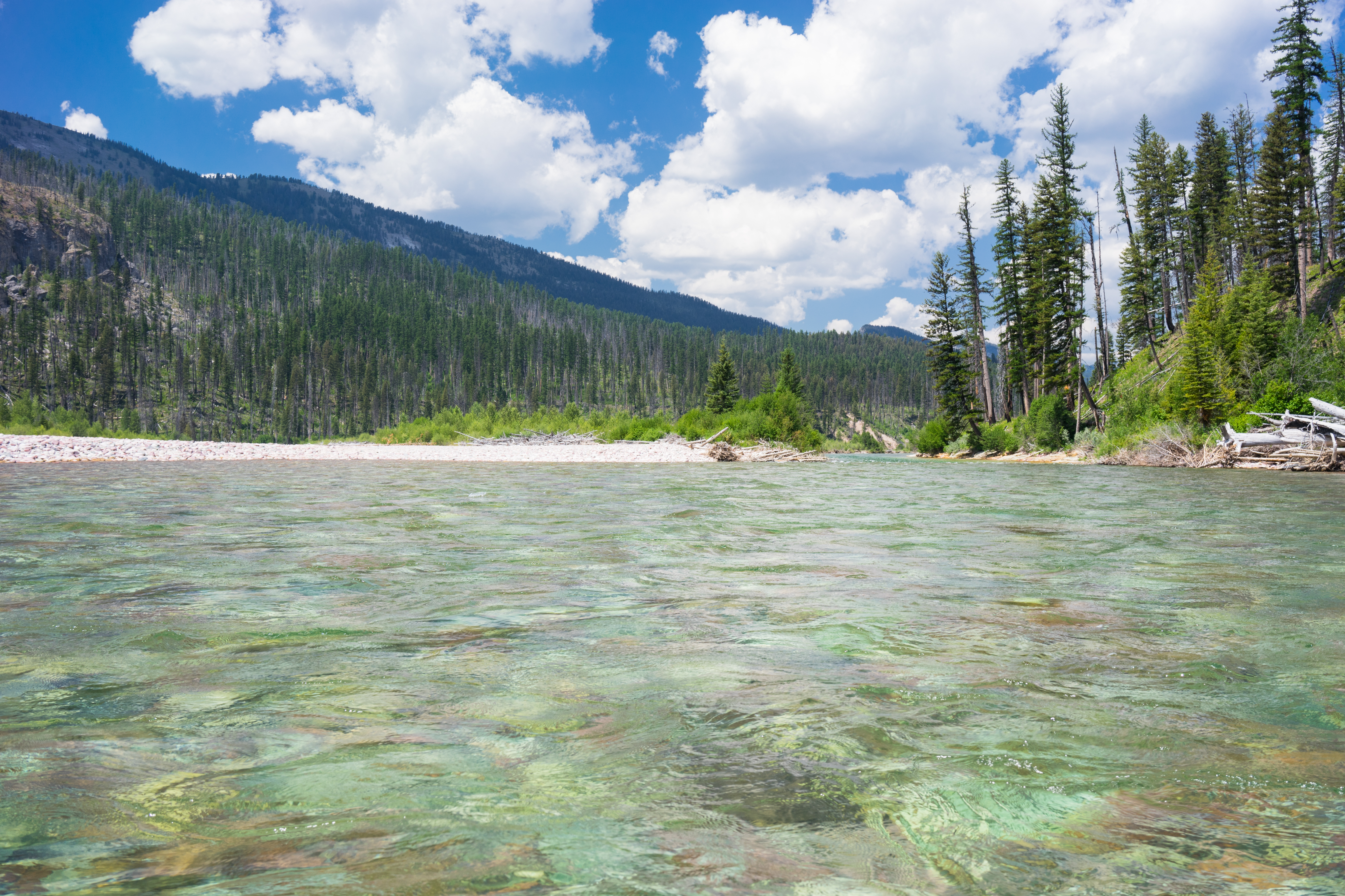
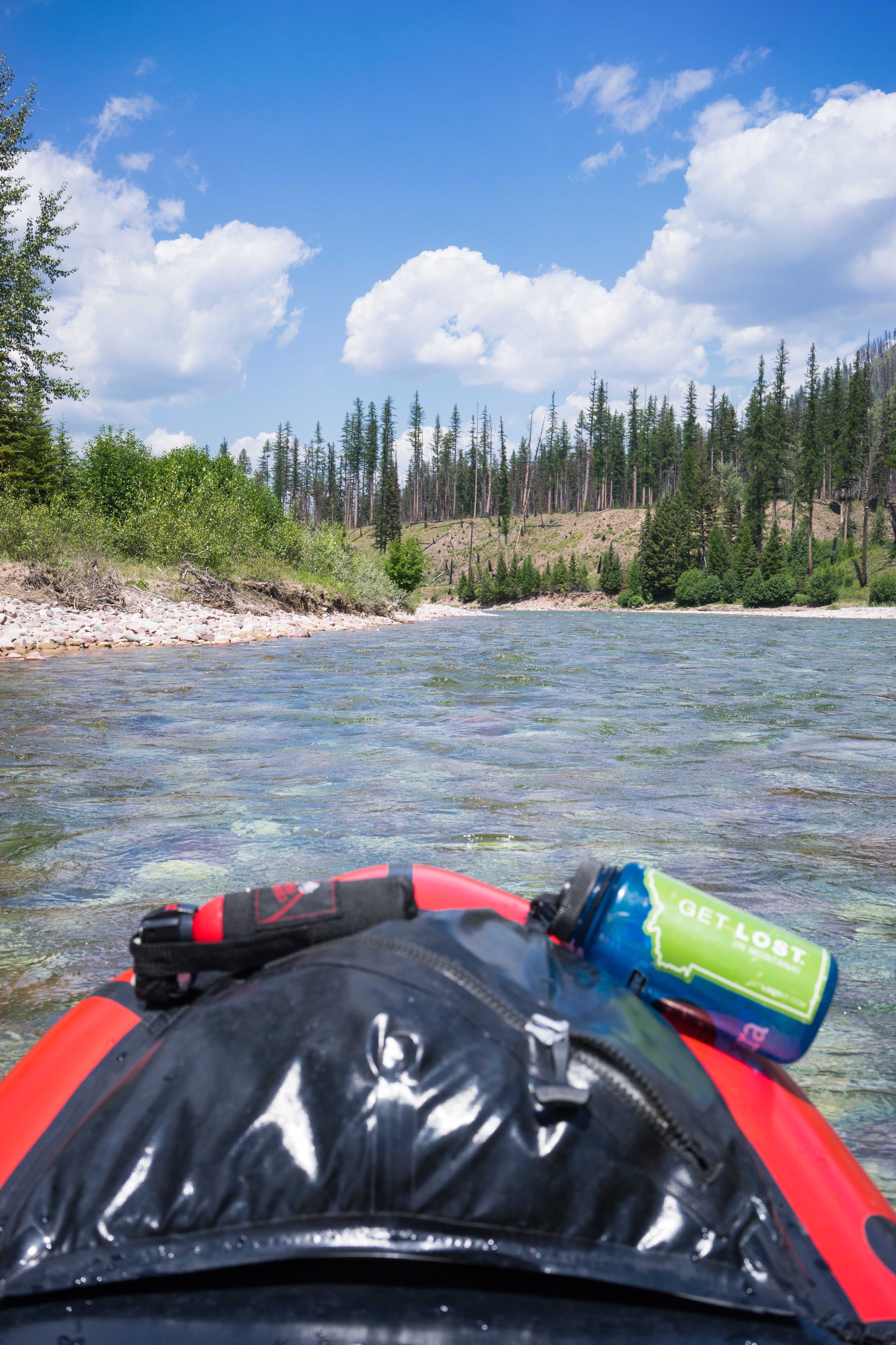
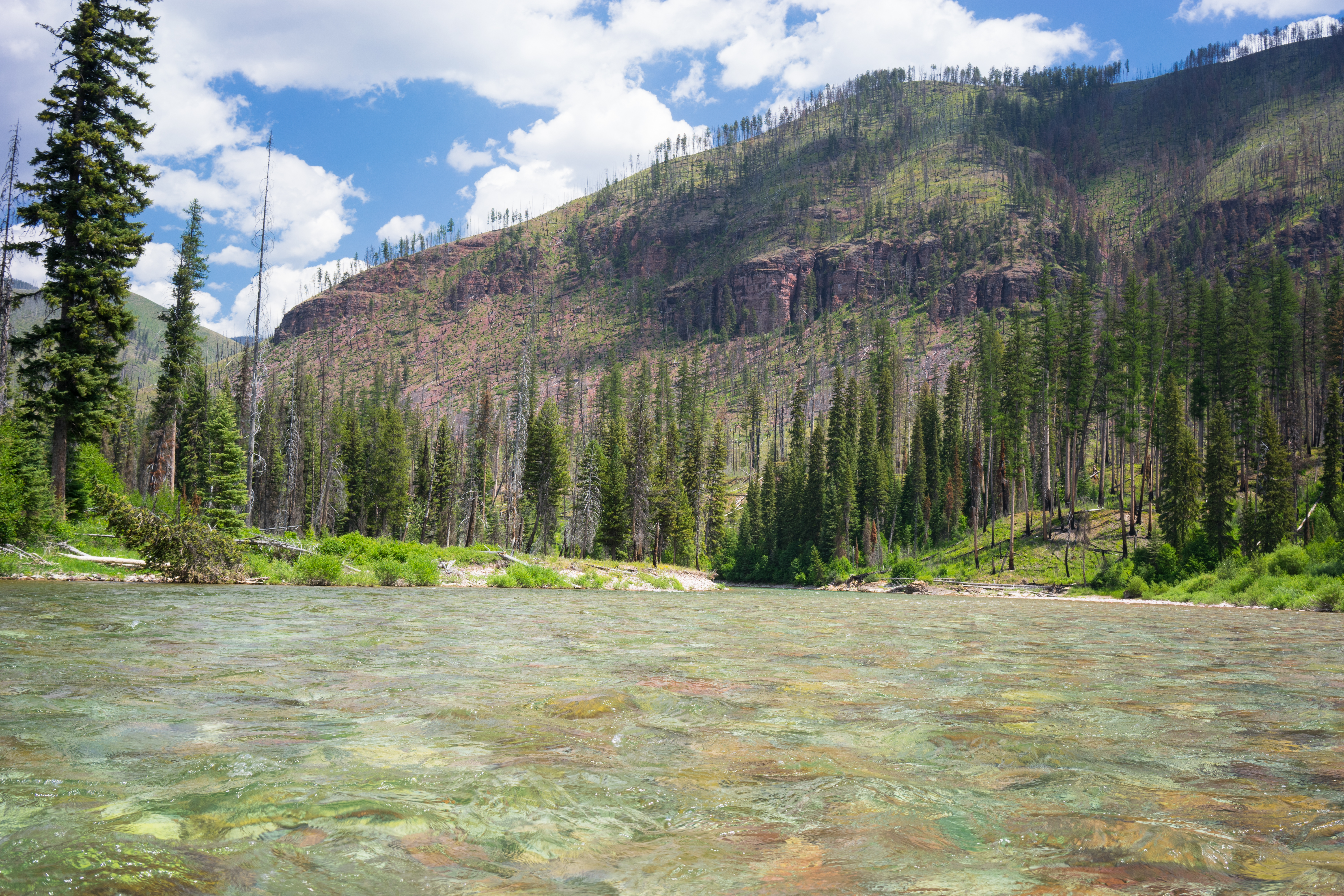
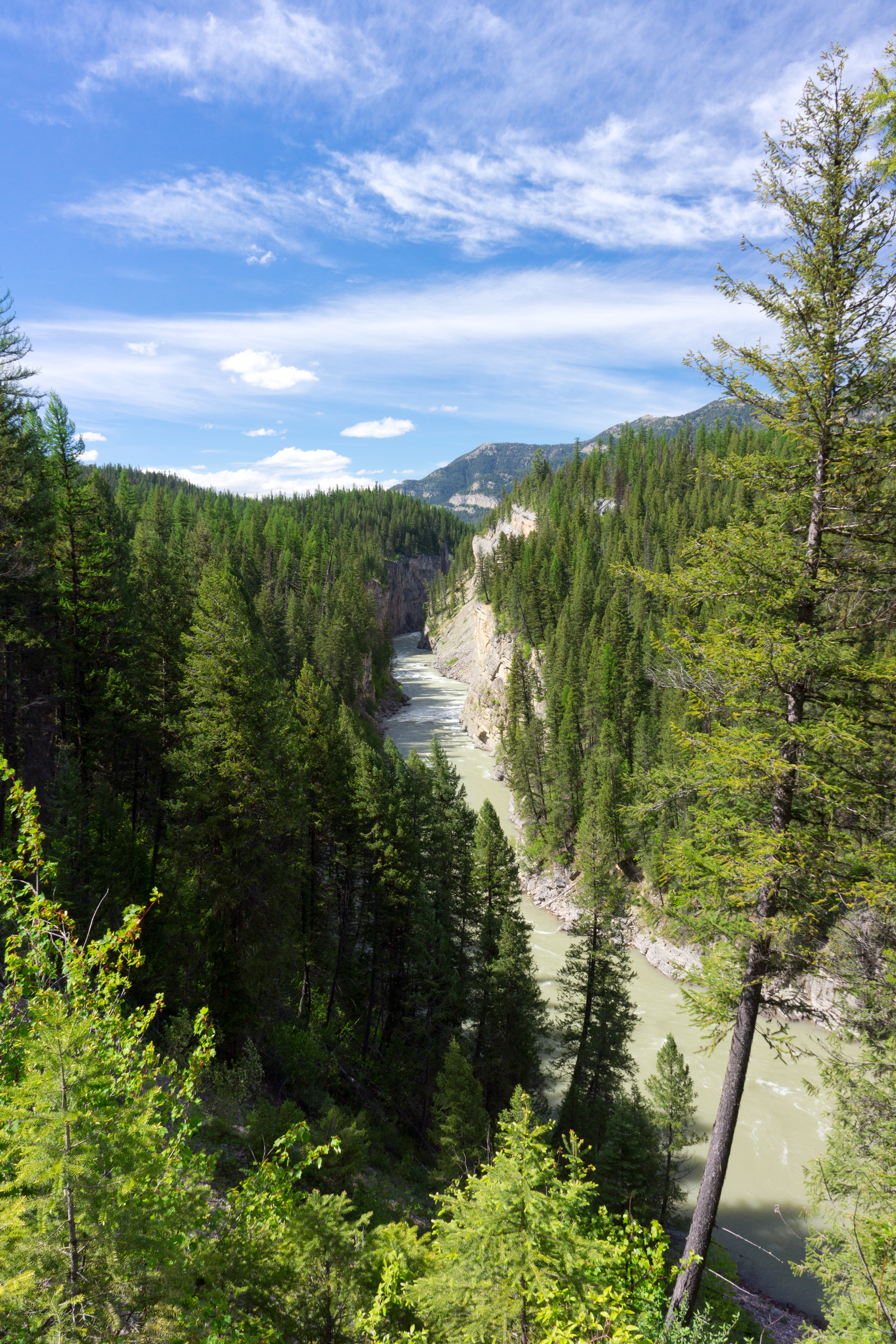
South Fork of the Flathead River
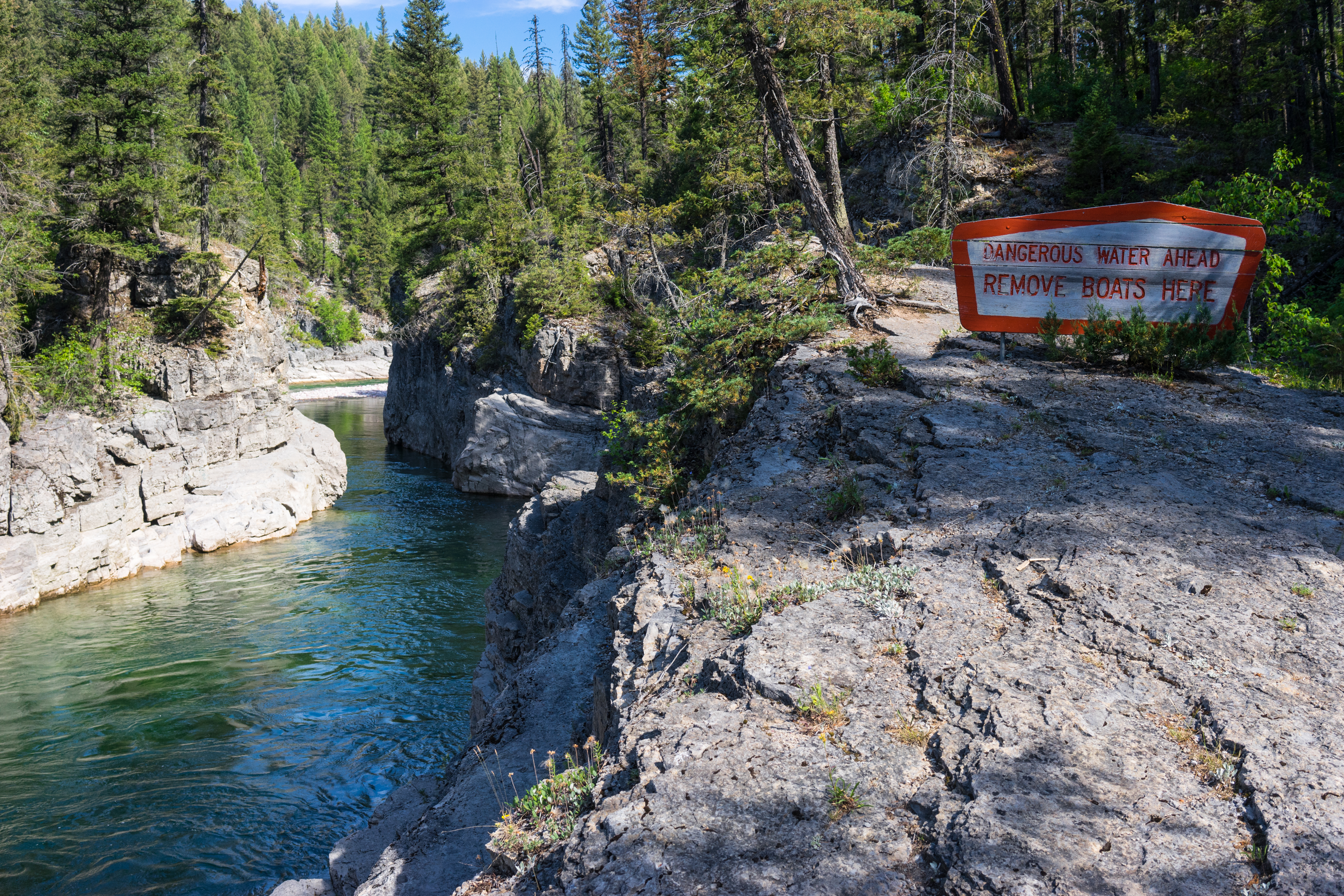
Mid Creek Takeout
South Fork of the Flathead River
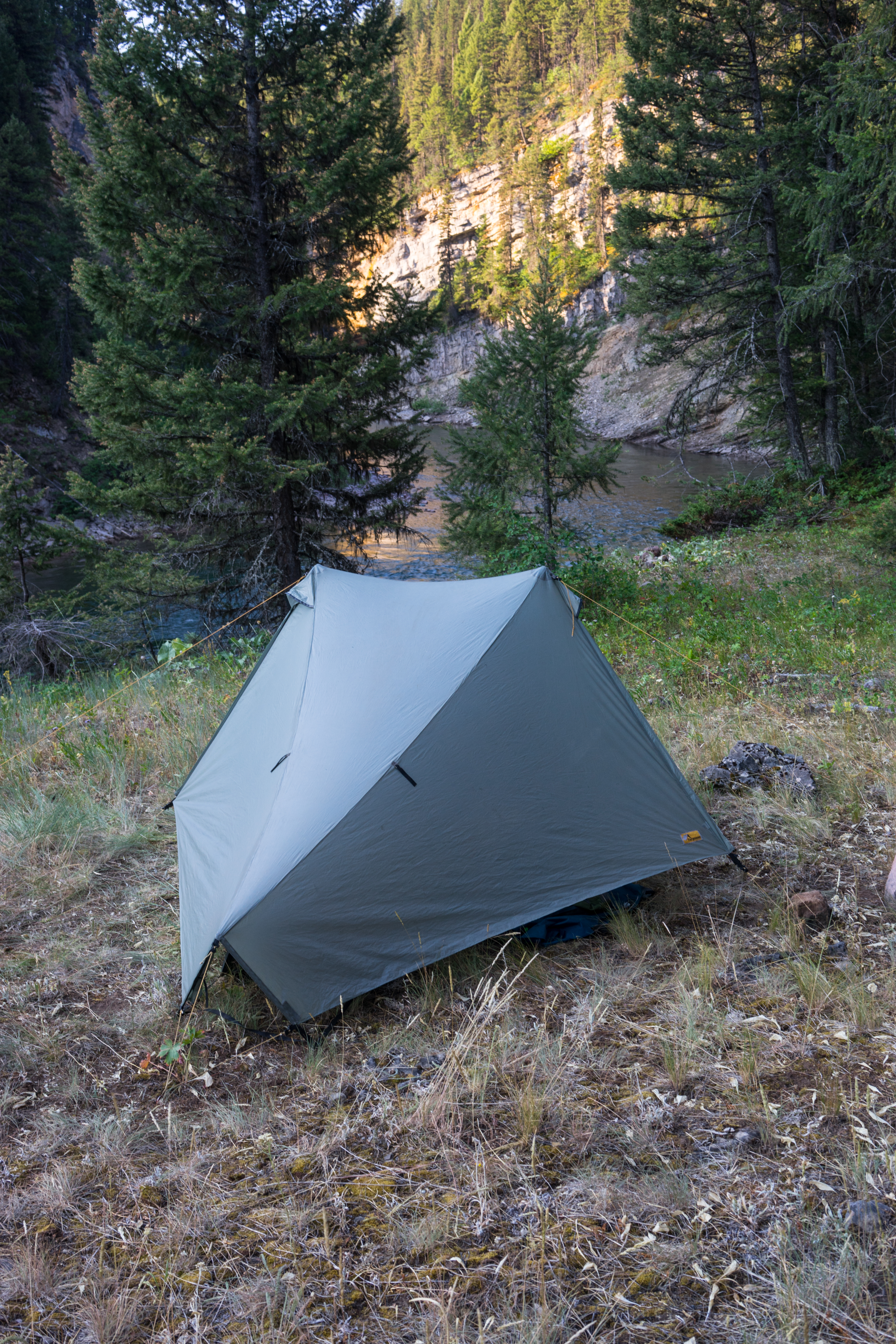
Camp 6
South Fork of the Flathead River
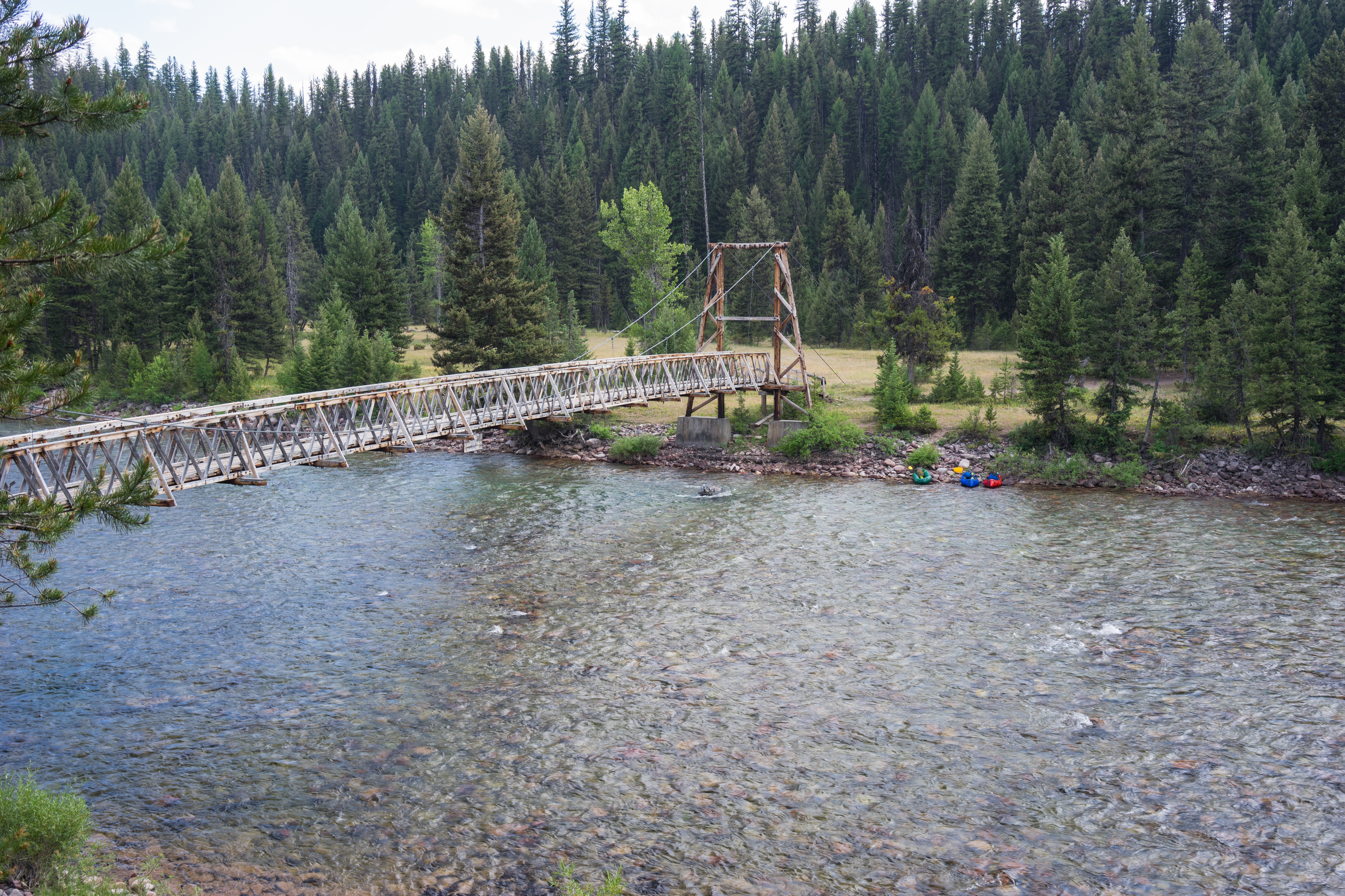
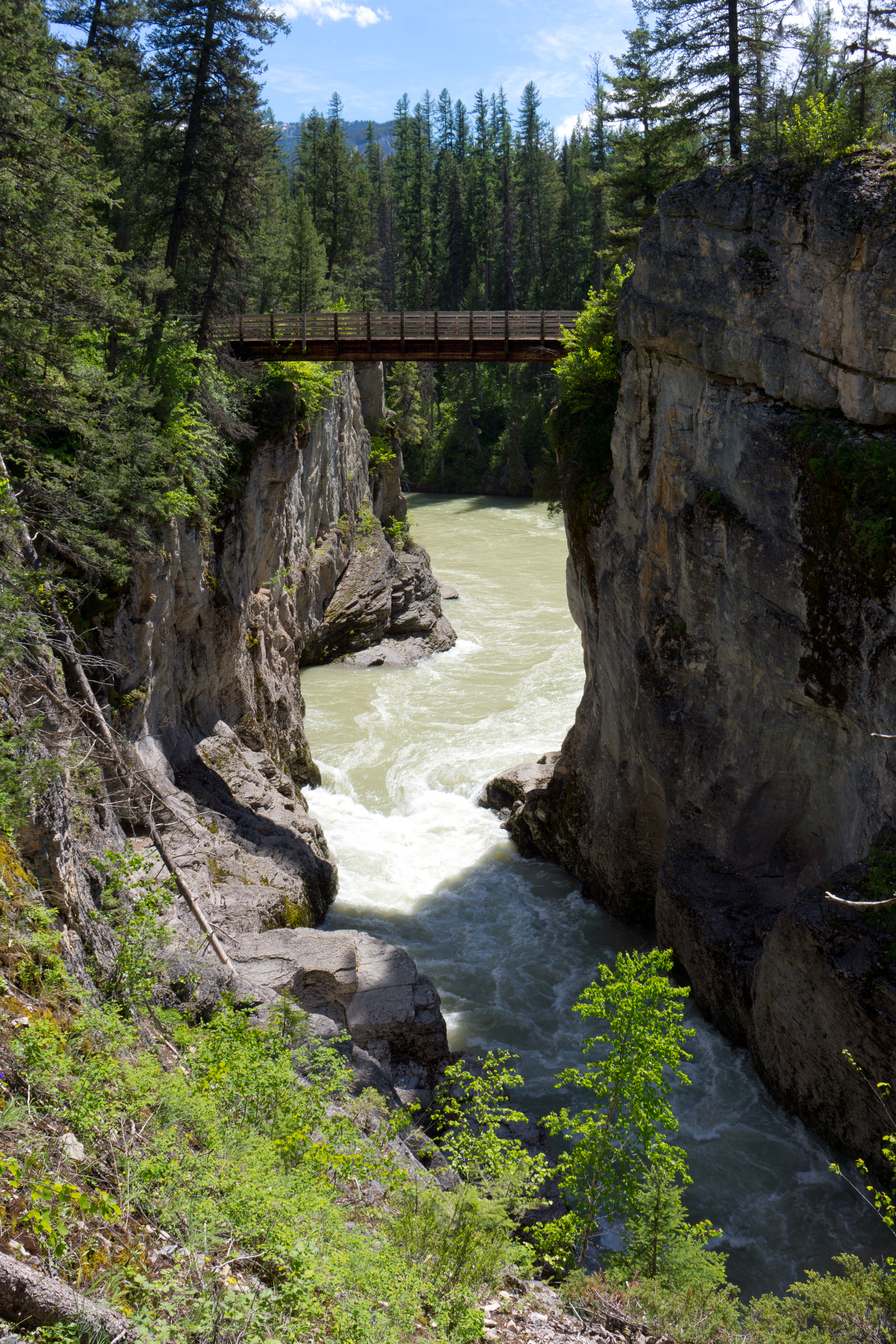
Black Bear Pack Bridge
Black Bear Mountain
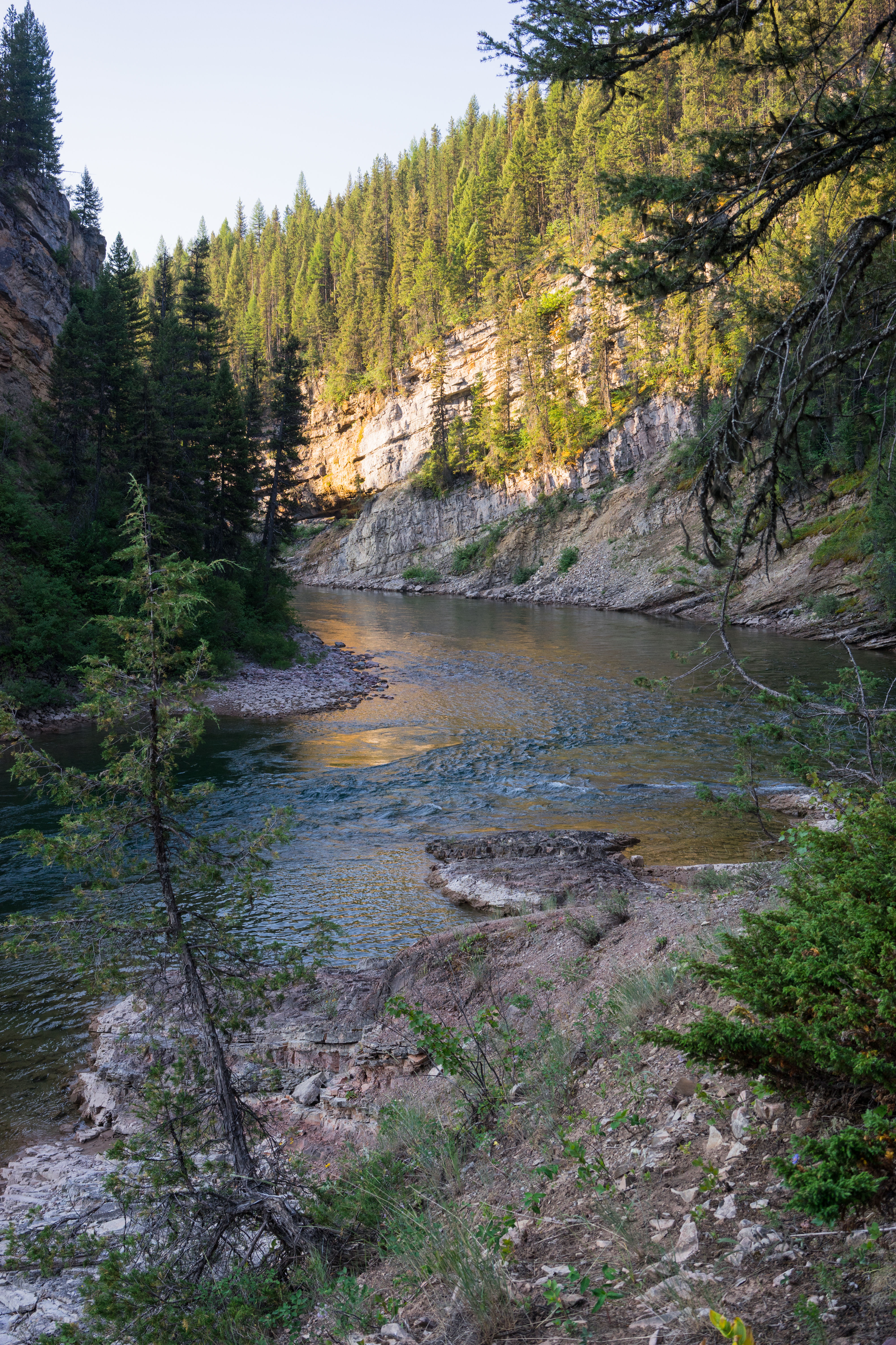
South Fork of the Flathead River
South Fork of the Flathead River
South Fork of the Flathead River

South Fork of the Flathead River
South Fork Flathead River

Meadow Creek Falls
Meadow Creek Bridge
アメリカ合衆国 モンタナ州 ピクチャー・リッジの地図
別の場所を検索
近所の場所
アメリカ合衆国 モンタナ州 サラ・ピーク
アメリカ合衆国 モンタナ州 スノー・ピーク
アメリカ合衆国 モンタナ州 スタジアム・ピーク
アメリカ合衆国 〒 モンタナ州 ブラック・ベアー山
アメリカ合衆国 モンタナ州 ガーネット・ピーク
アメリカ合衆国 〒 モンタナ州 ミナレット・ピーク
アメリカ合衆国 モンタナ州 シャーロット・ピーク
アメリカ合衆国 モンタナ州 スパッド・ポイント
アメリカ合衆国 〒 モンタナ州 シルバーティップ山
アメリカ合衆国 〒 モンタナ州 コーン・ピーク
アメリカ合衆国 〒 モンタナ州 ユニオン・ピーク
アメリカ合衆国 〒 モンタナ州 ジップ山
アメリカ合衆国 〒 モンタナ州 タートルヘッド山
アメリカ合衆国 〒 モンタナ州 ローン・ビュート
アメリカ合衆国 モンタナ州 パトロール・ポイント
アメリカ合衆国 モンタナ州 スカーフェース山
アメリカ合衆国 モンタナ州 フレーム・ピーク
アメリカ合衆国 モンタナ州 リナ・ピーク
アメリカ合衆国 〒 モンタナ州 ウォルドビリグ山
アメリカ合衆国 〒 モンタナ州 モカシン・ビュート
最近の検索
- 日本、〒- 静岡県駿東郡小山町須走富士山本宮淺間大社 東北奧宮 久須志神社日の出日の入り時間
- Sinai St 16, Be'er Sheva, イスラエル日の出日の入り時間
- Presidente Quintana & Emilio Mitre, Carlos Keen, Provincia de Buenos Aires, アルゼンチンプレシデンテ・キンタナ & エミリオ日の出日の入り時間
- Deep Gap Farm Rd E, Mill Spring, NC, USA日の出日の入り時間
- 中華人民共和国 広東省 仏山市 南海区 九江鎮日の出日の入り時間
- アメリカ合衆国 〒 カリフォルニア州 マウンテンビュー日の出日の入り時間
- 日本、〒- 北海道斜里郡斜里町朱円東天に続く道展望台日の出日の入り時間
- 海岸咖啡, No. 31號, Chaishan Ave, Gushan District, Kaohsiung City, Taiwan日の出日の入り時間
- Estates Loop, Priest River, ID アメリカ合衆国日の出日の入り時間
- Woodland Oak Pl, Thousand Oaks, CA アメリカ合衆国日の出日の入り時間